






Marchfeldkanal cycle route
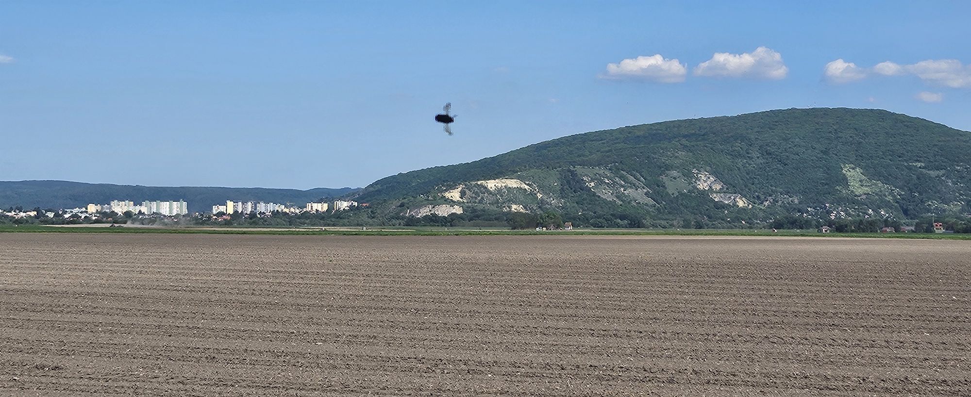
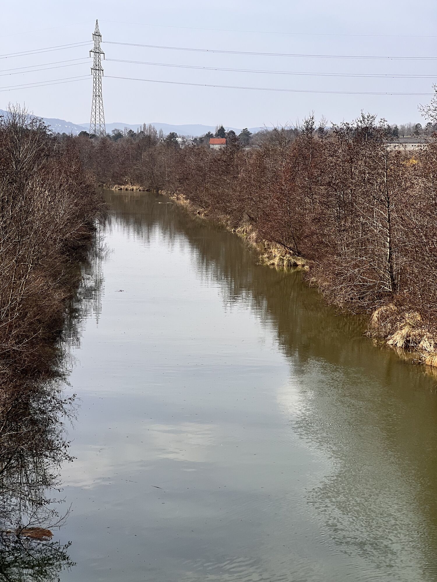

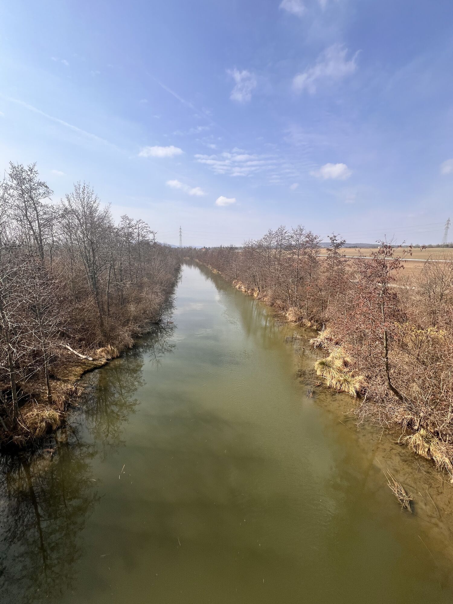
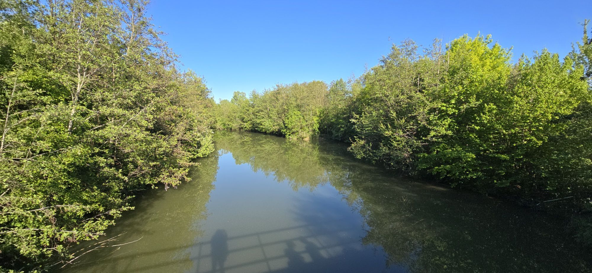
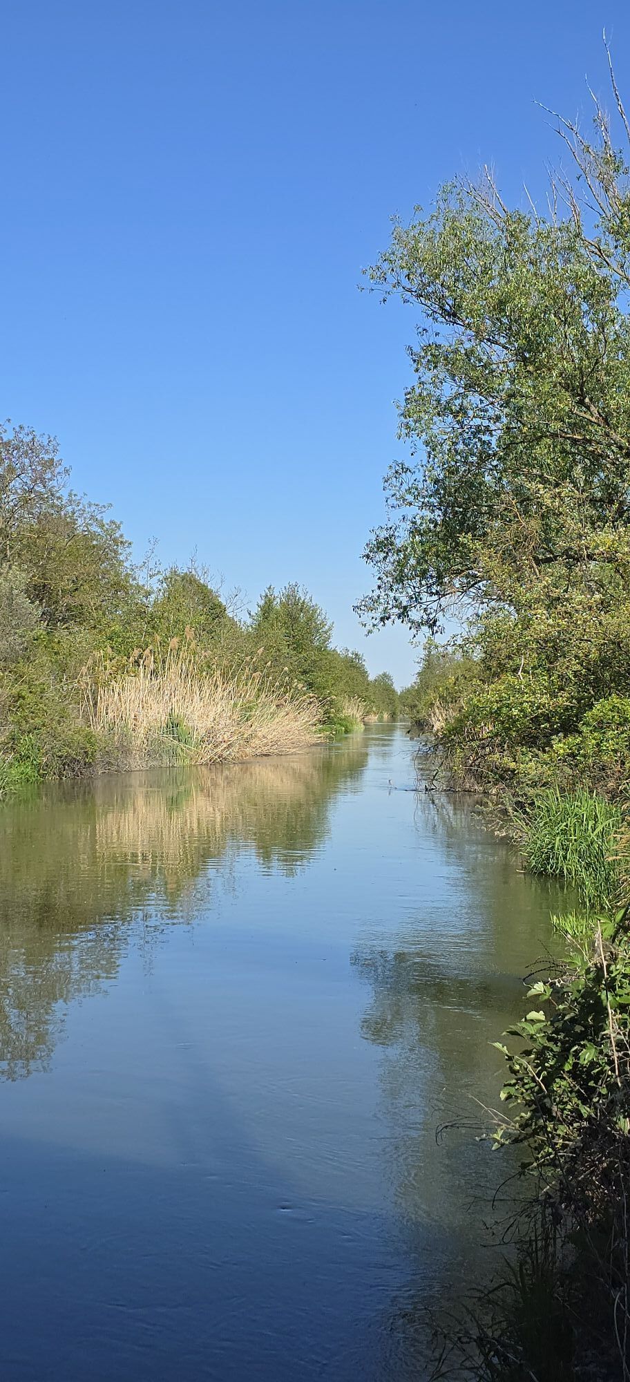
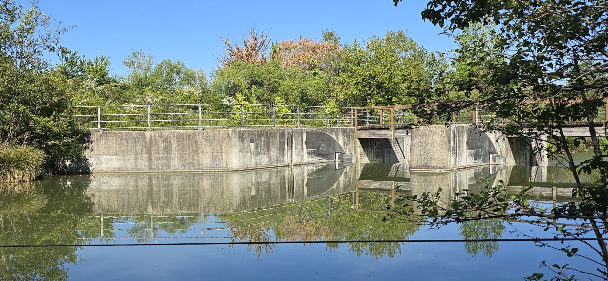
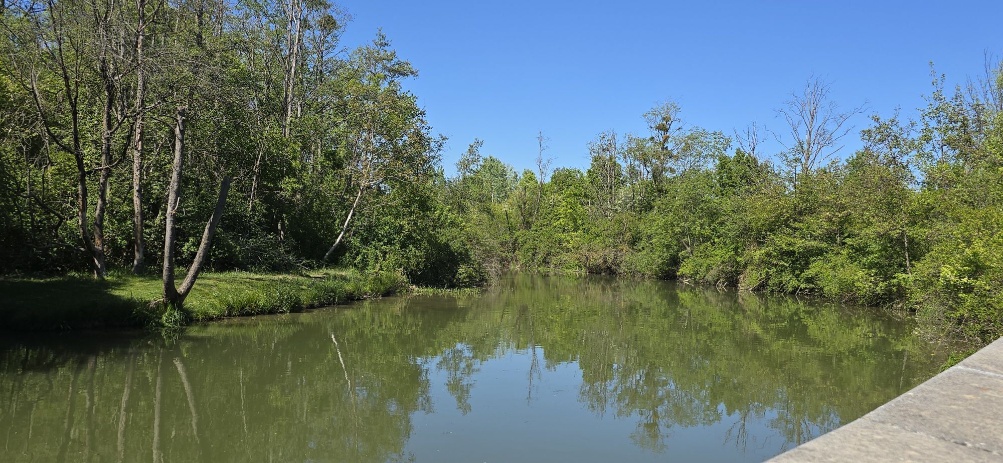
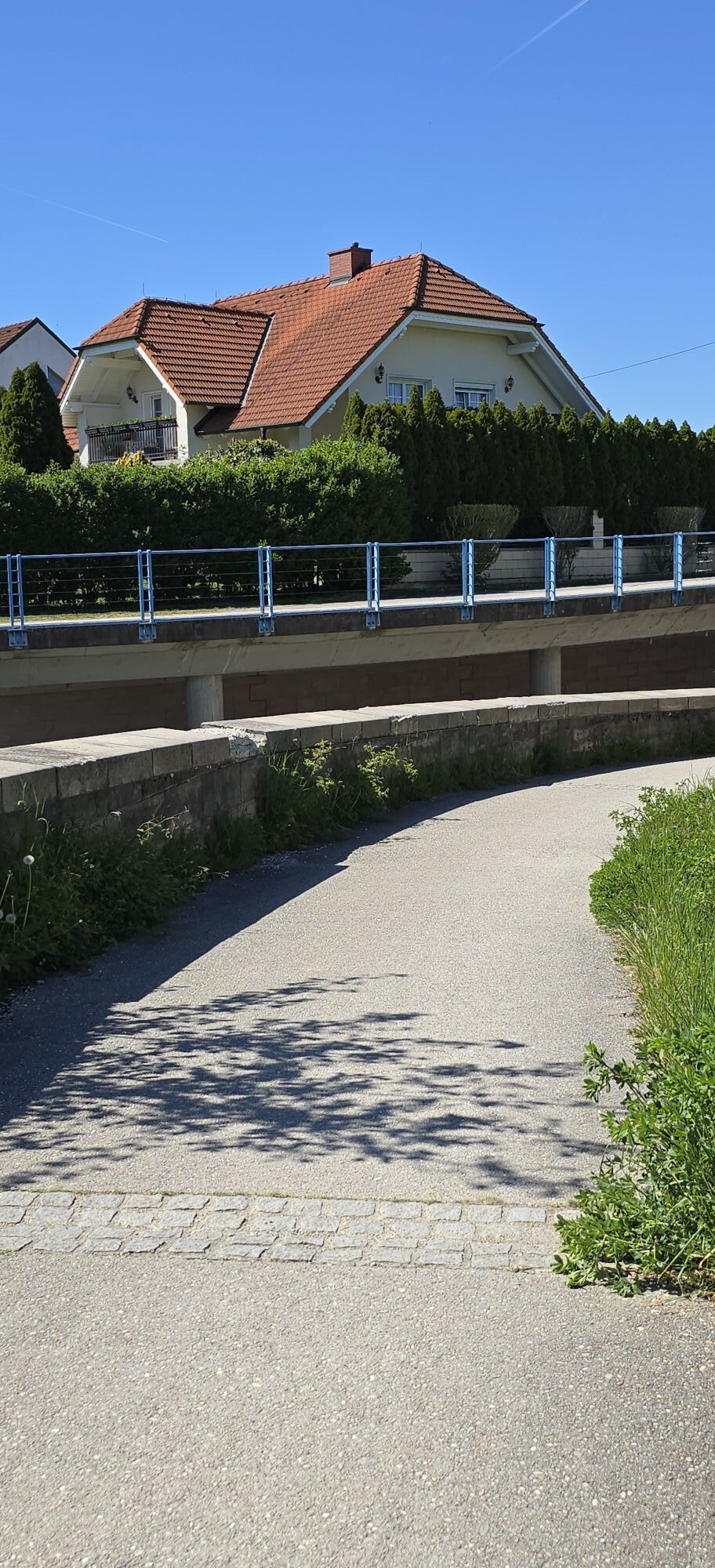
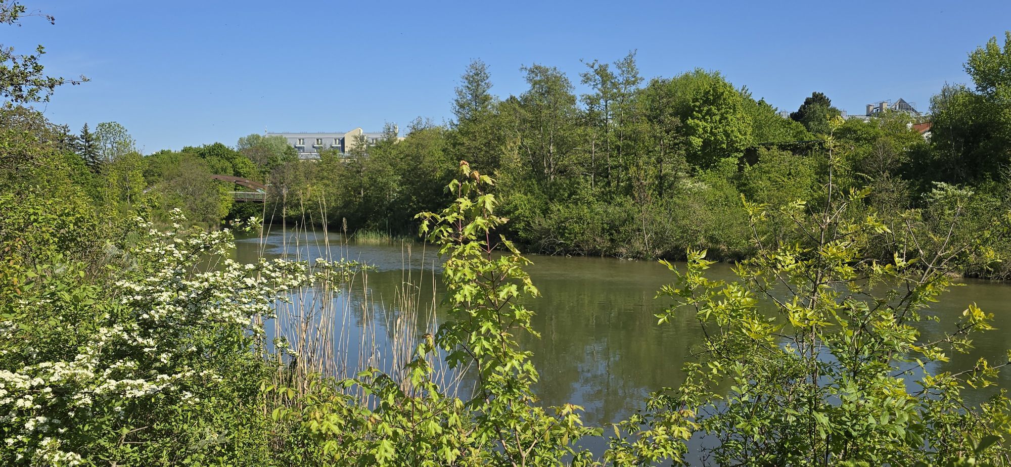
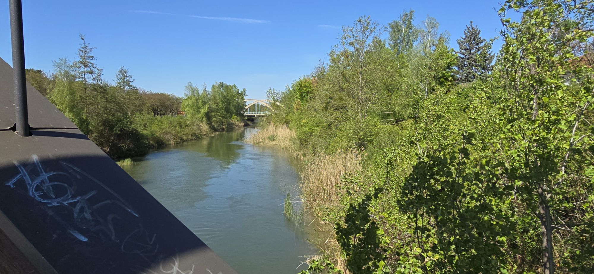
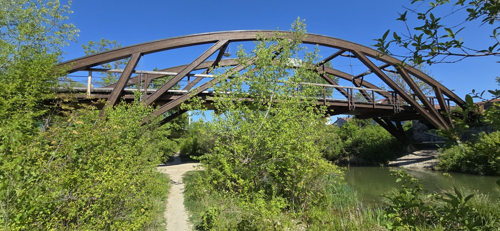
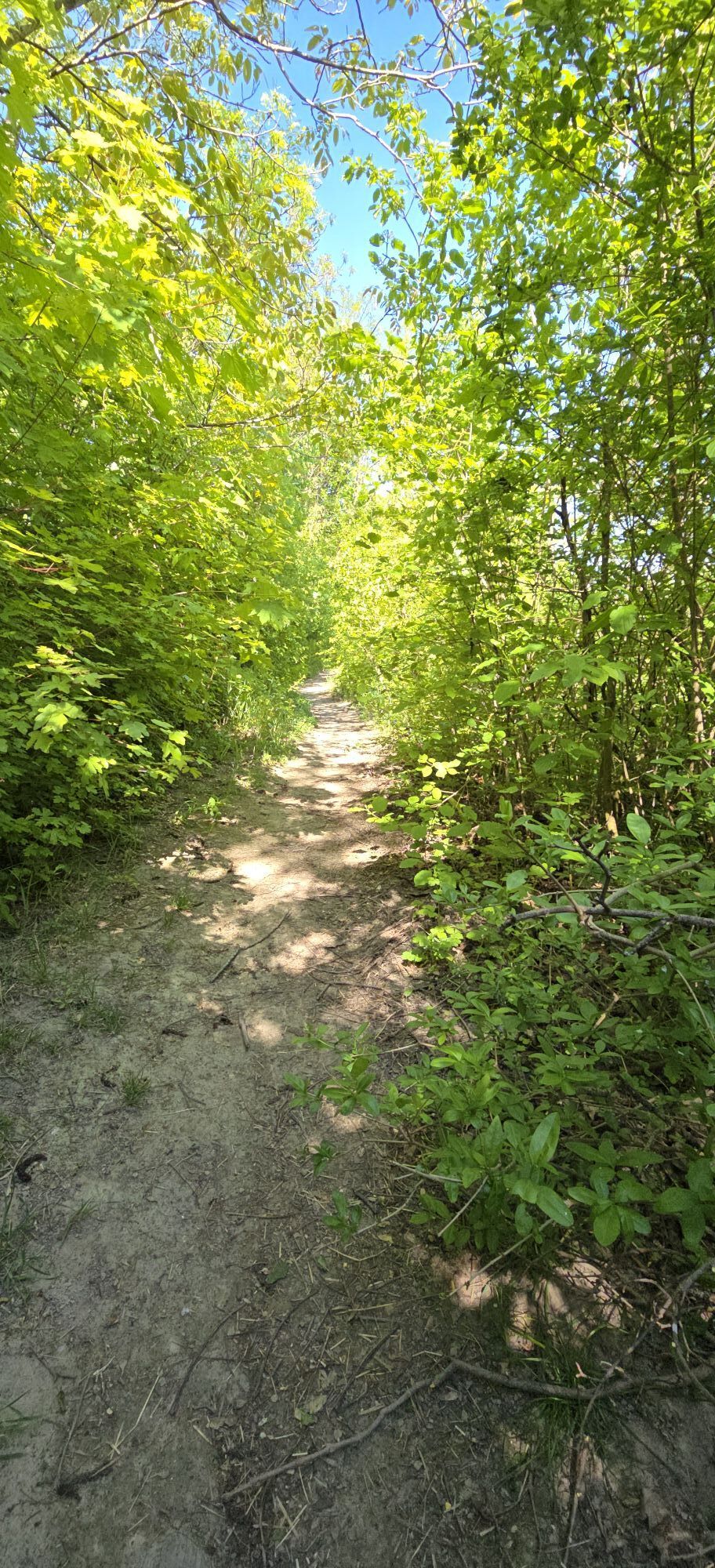
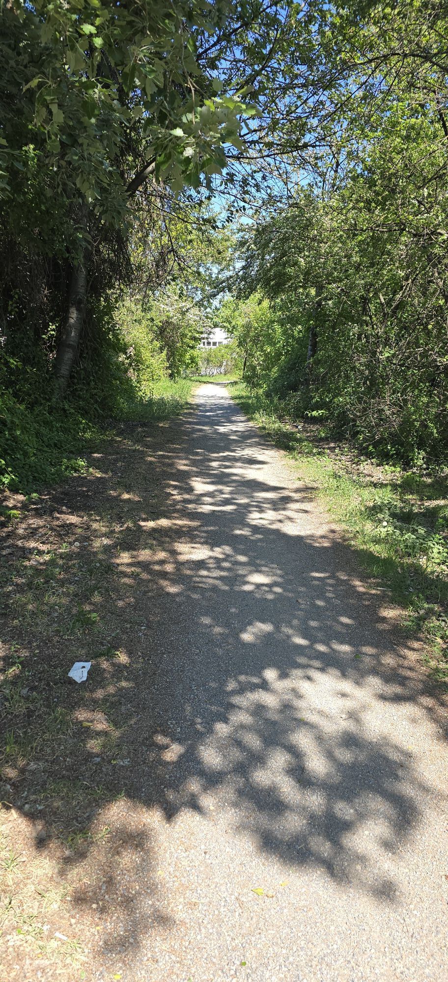
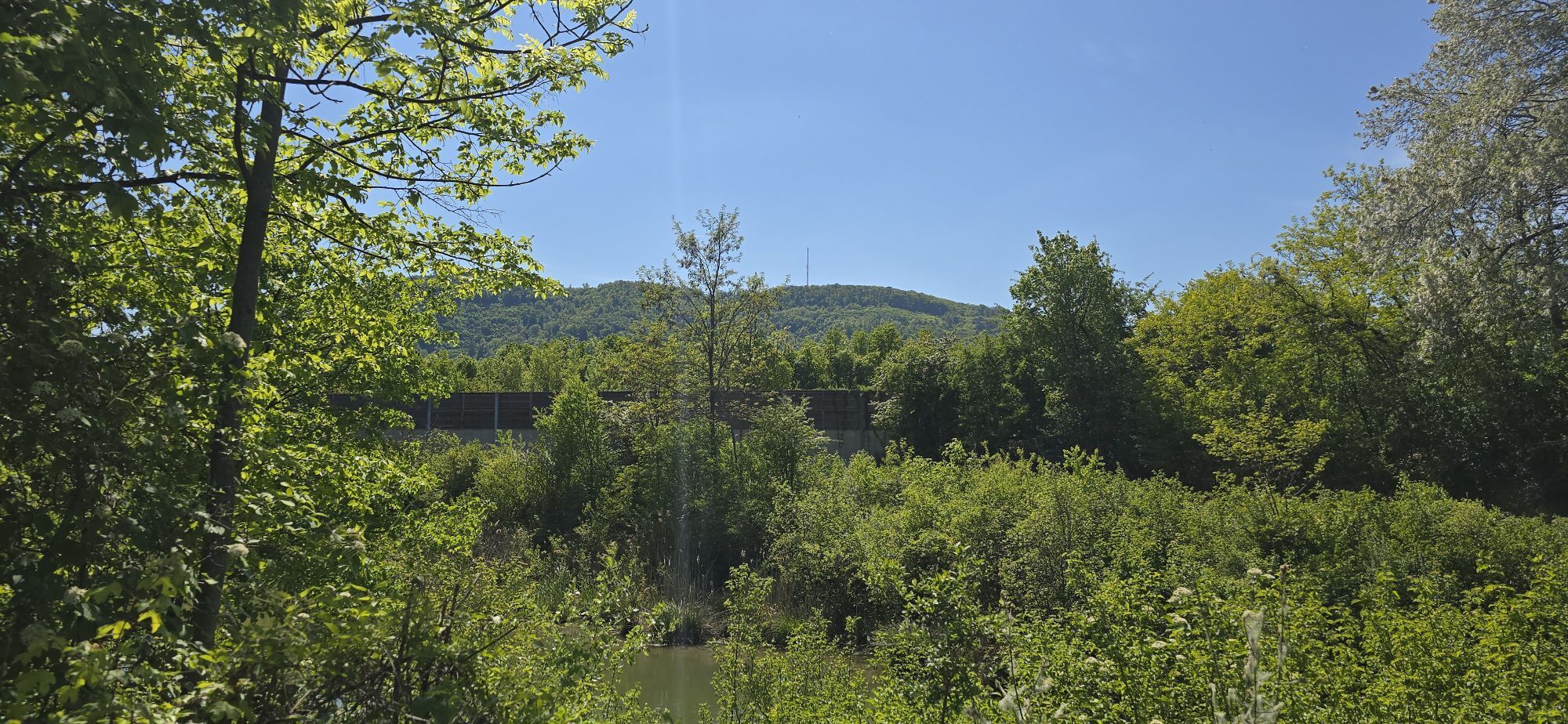
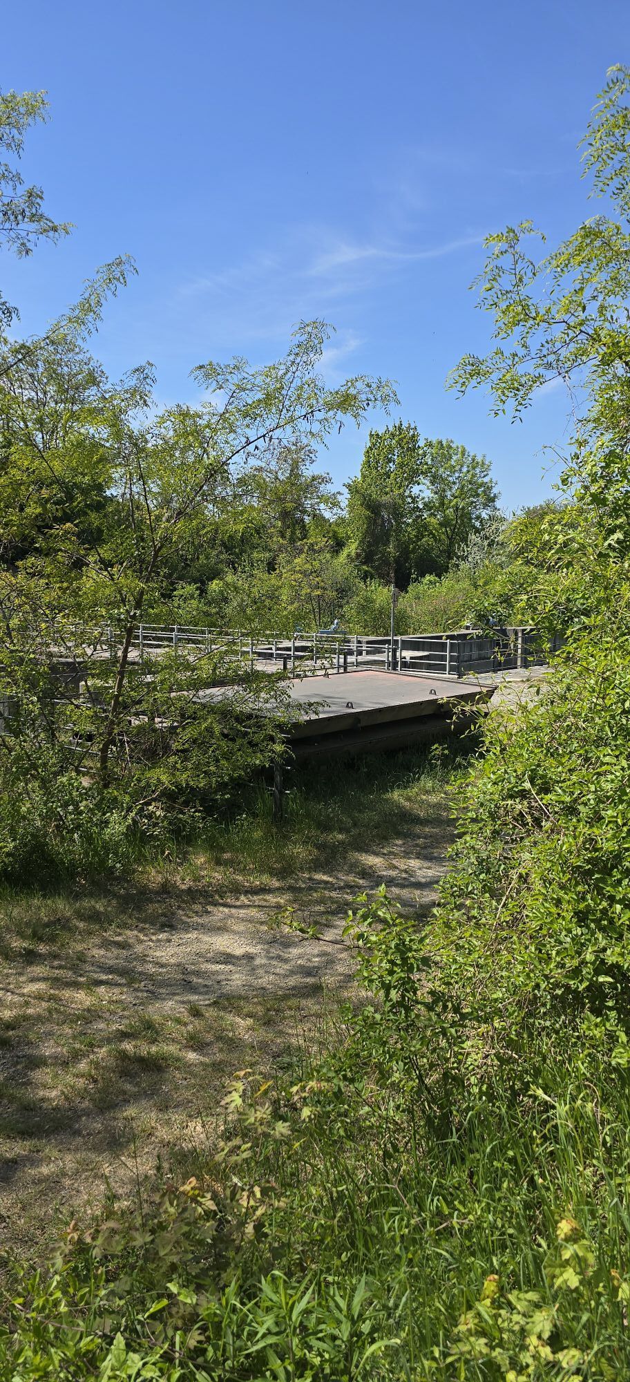
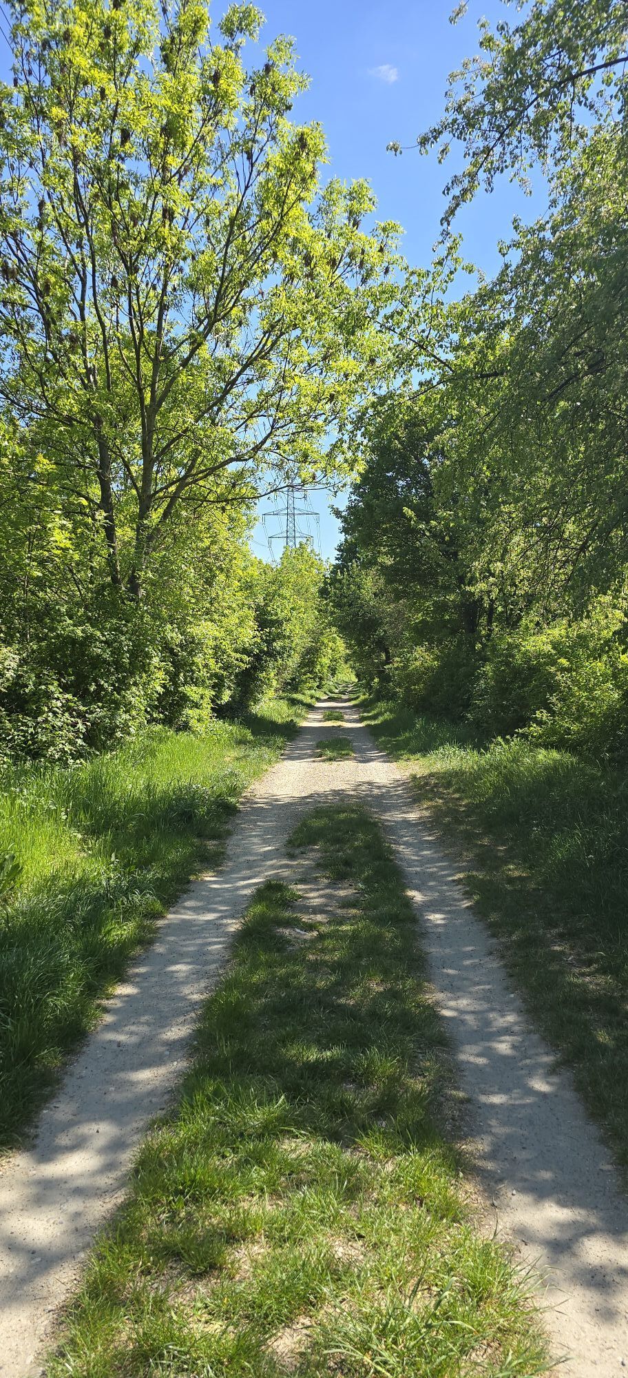
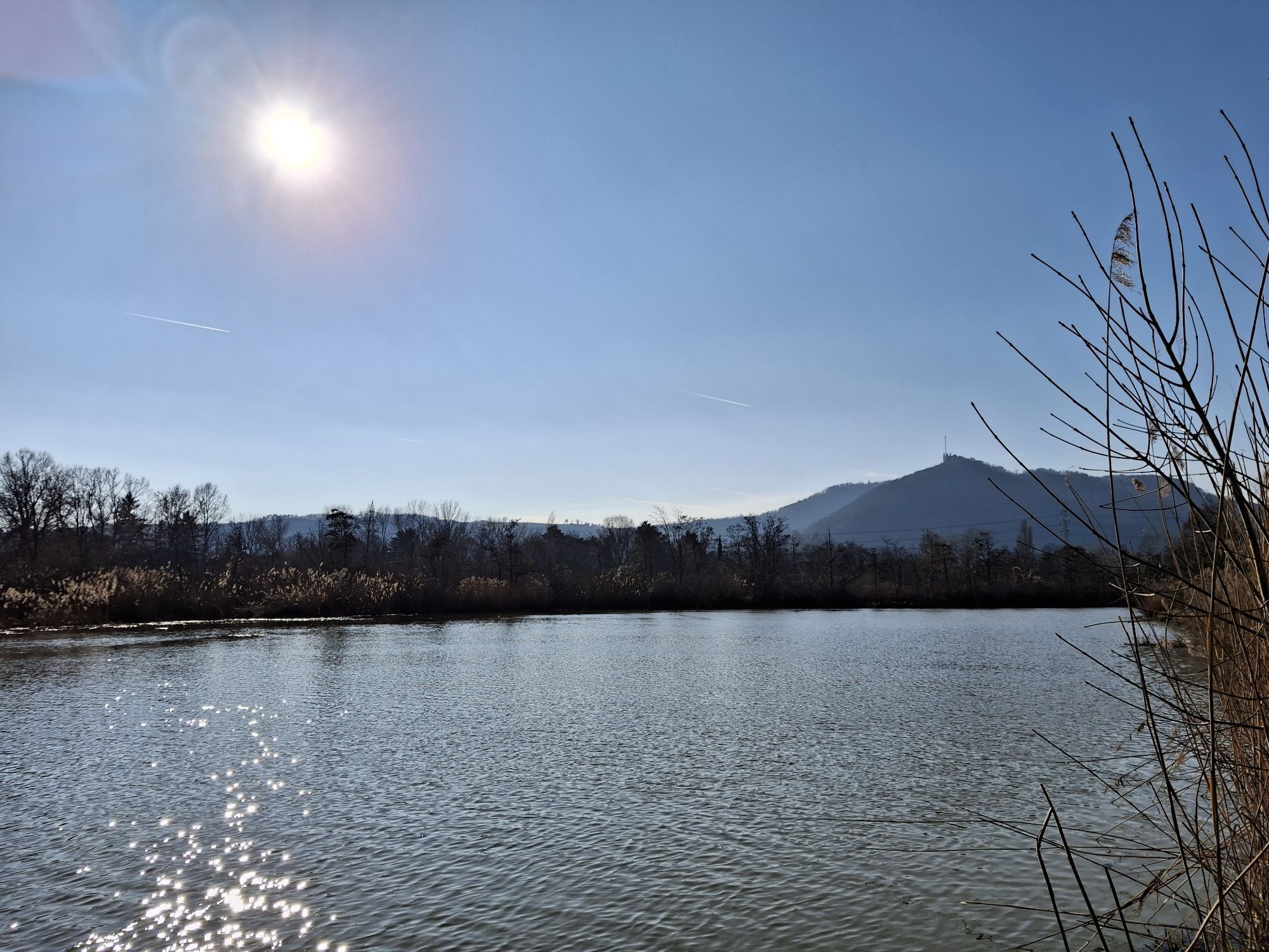
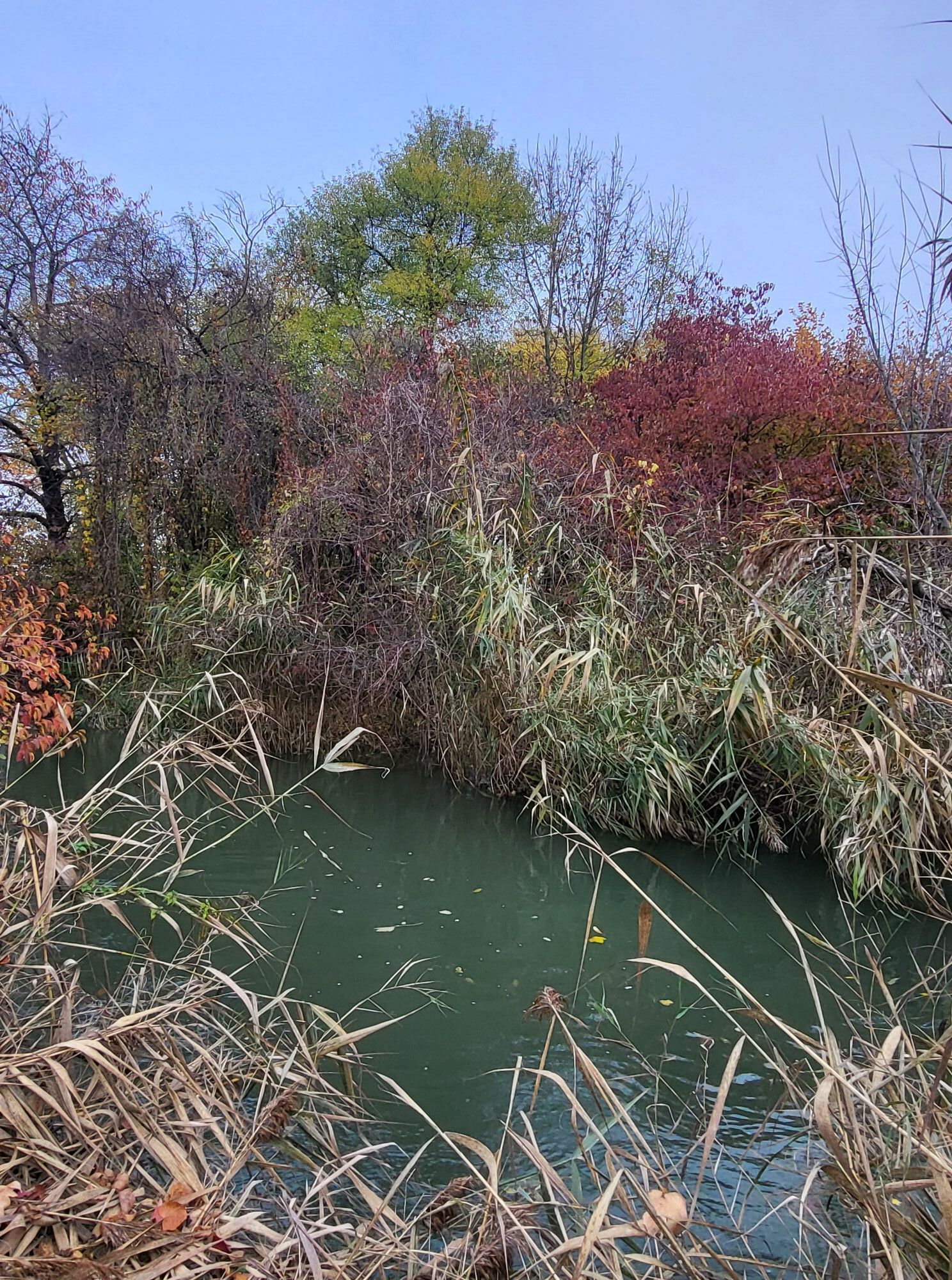
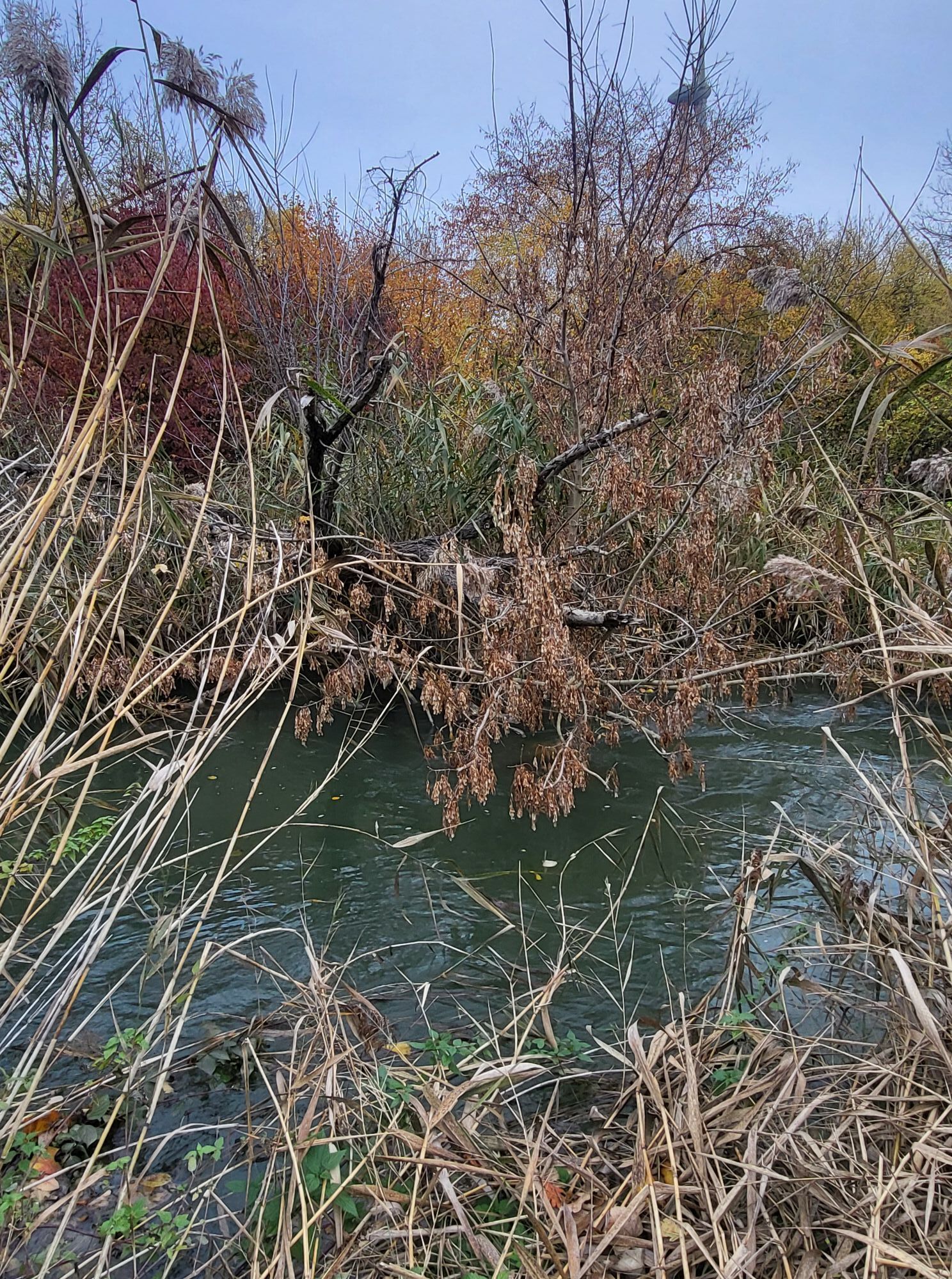
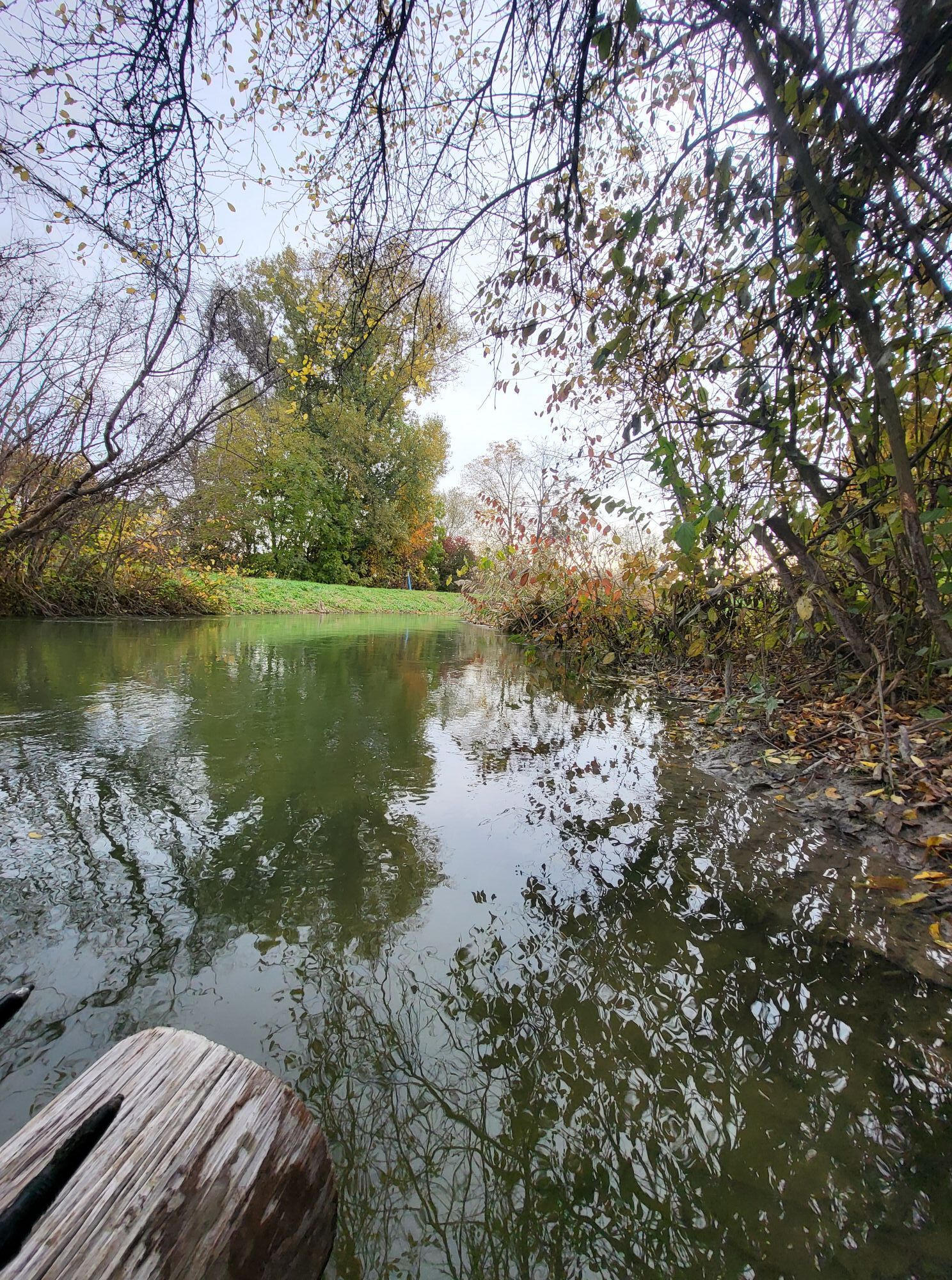
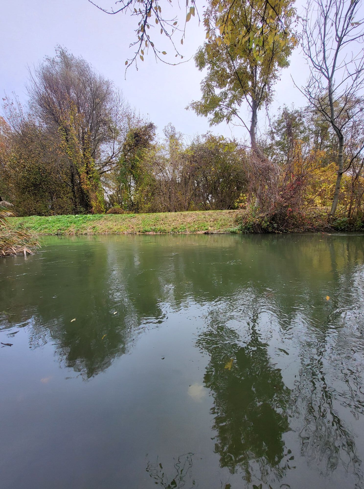
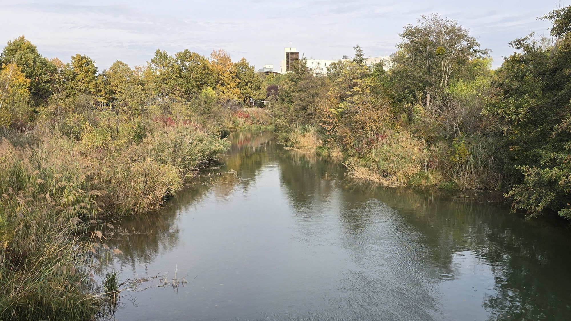
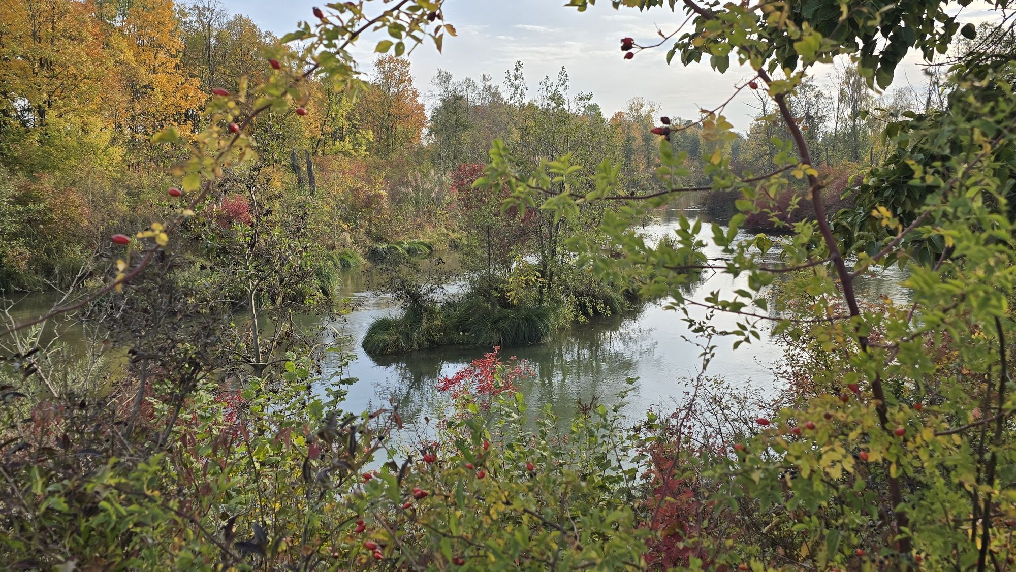
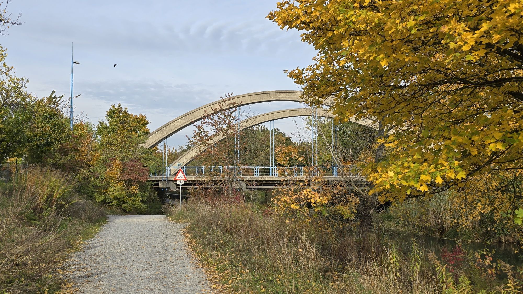

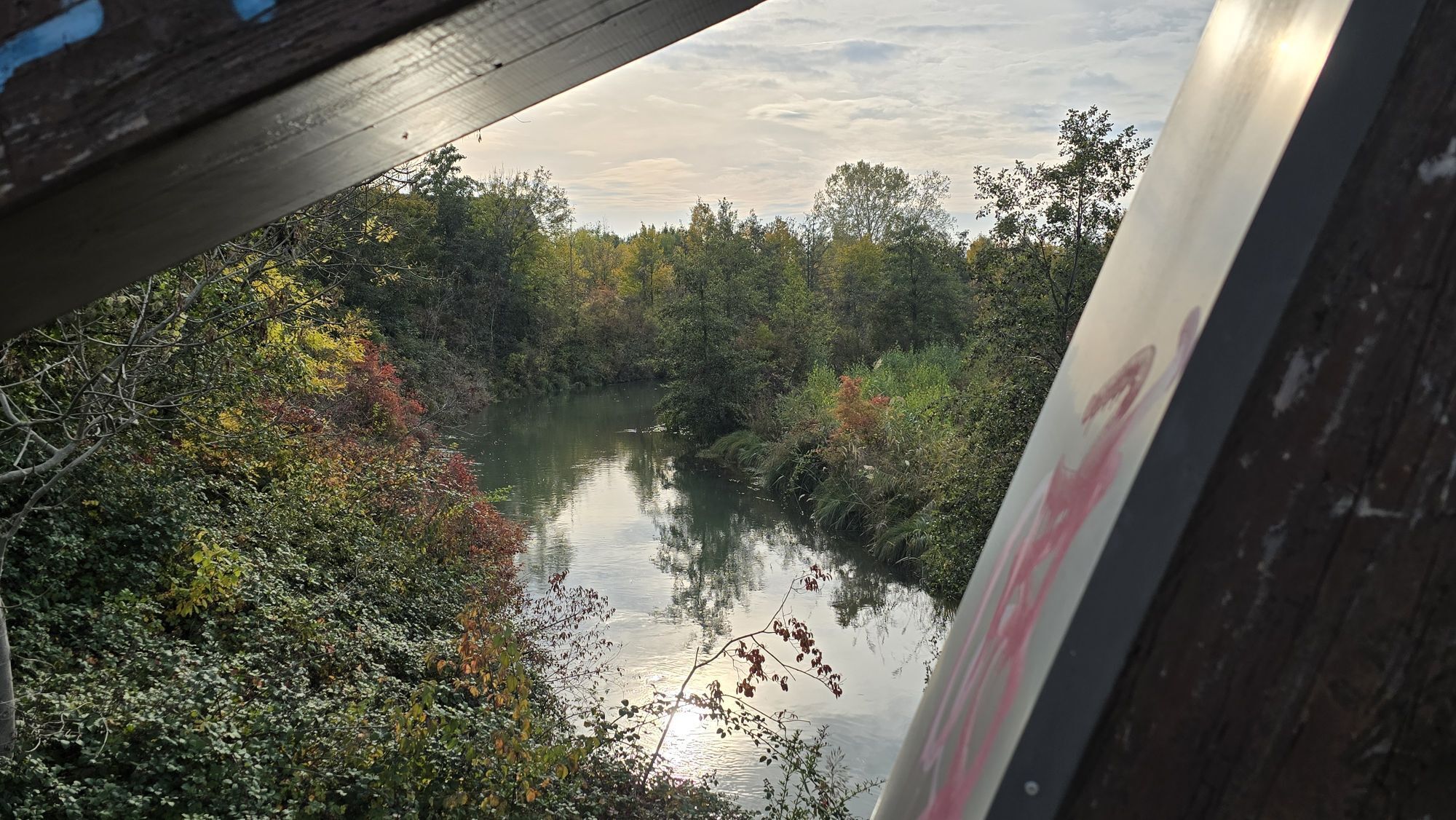
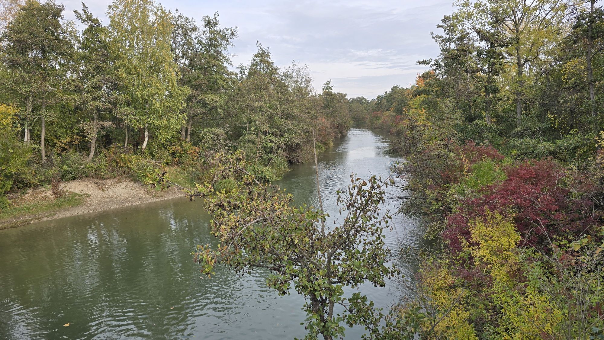
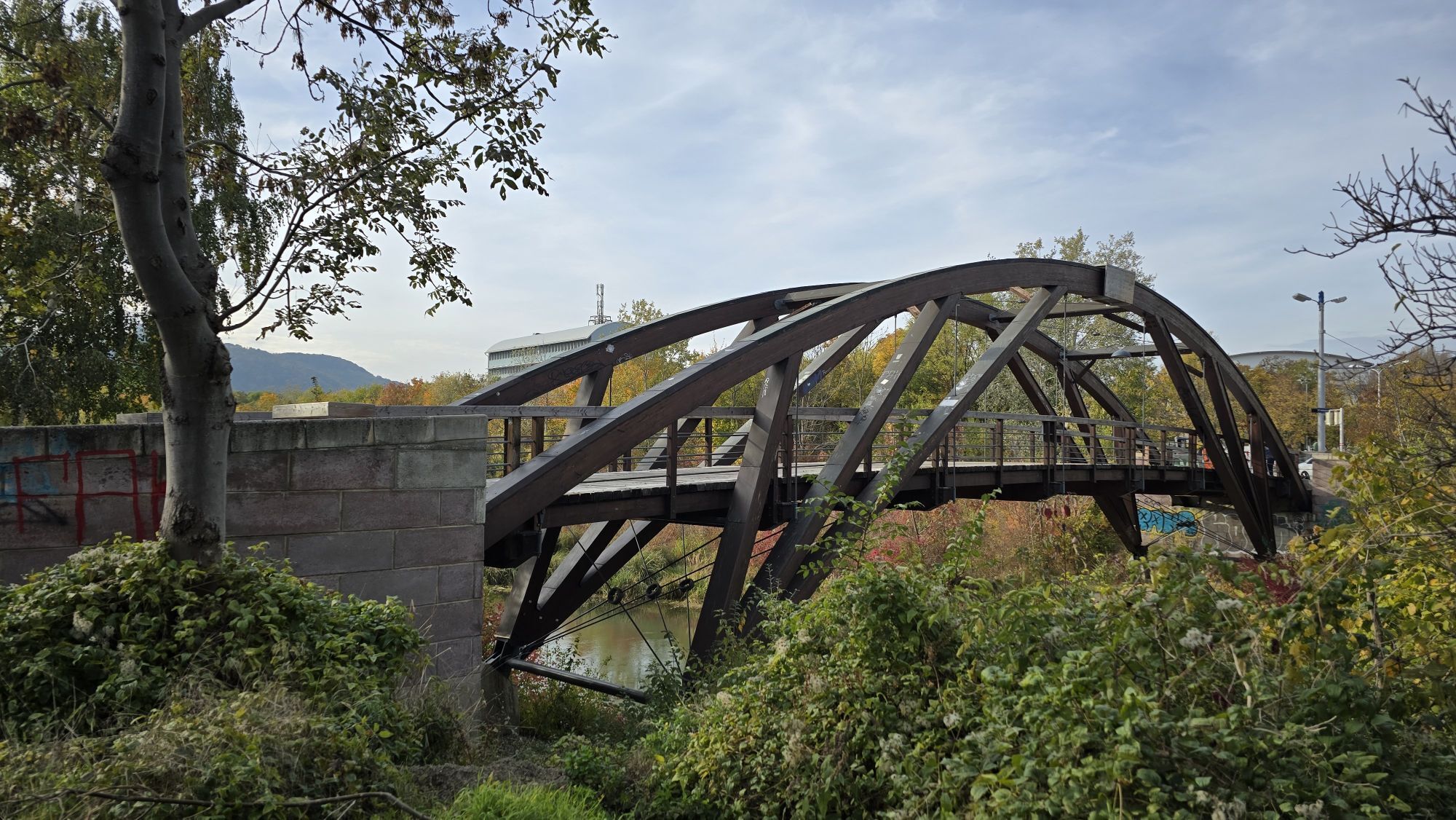
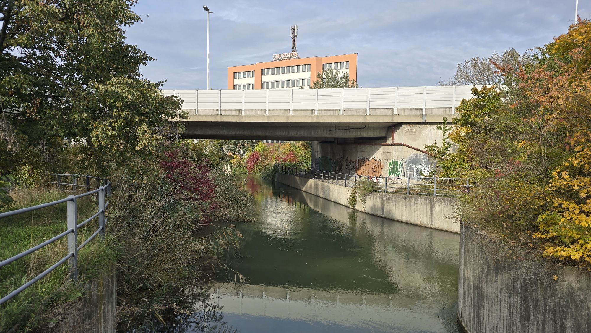
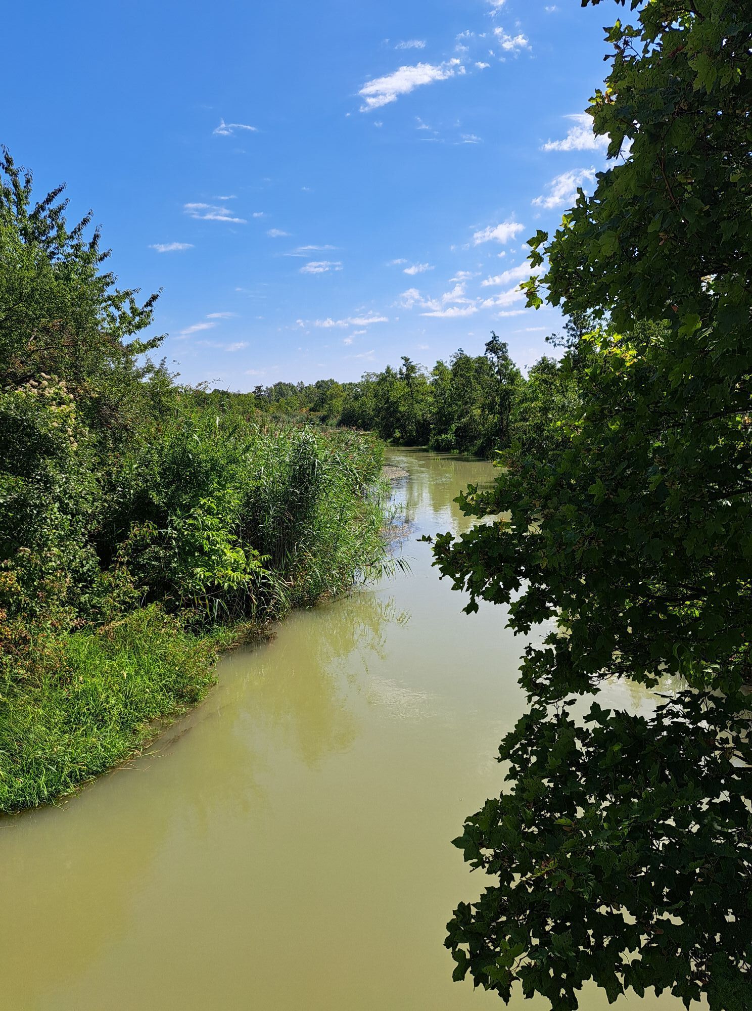
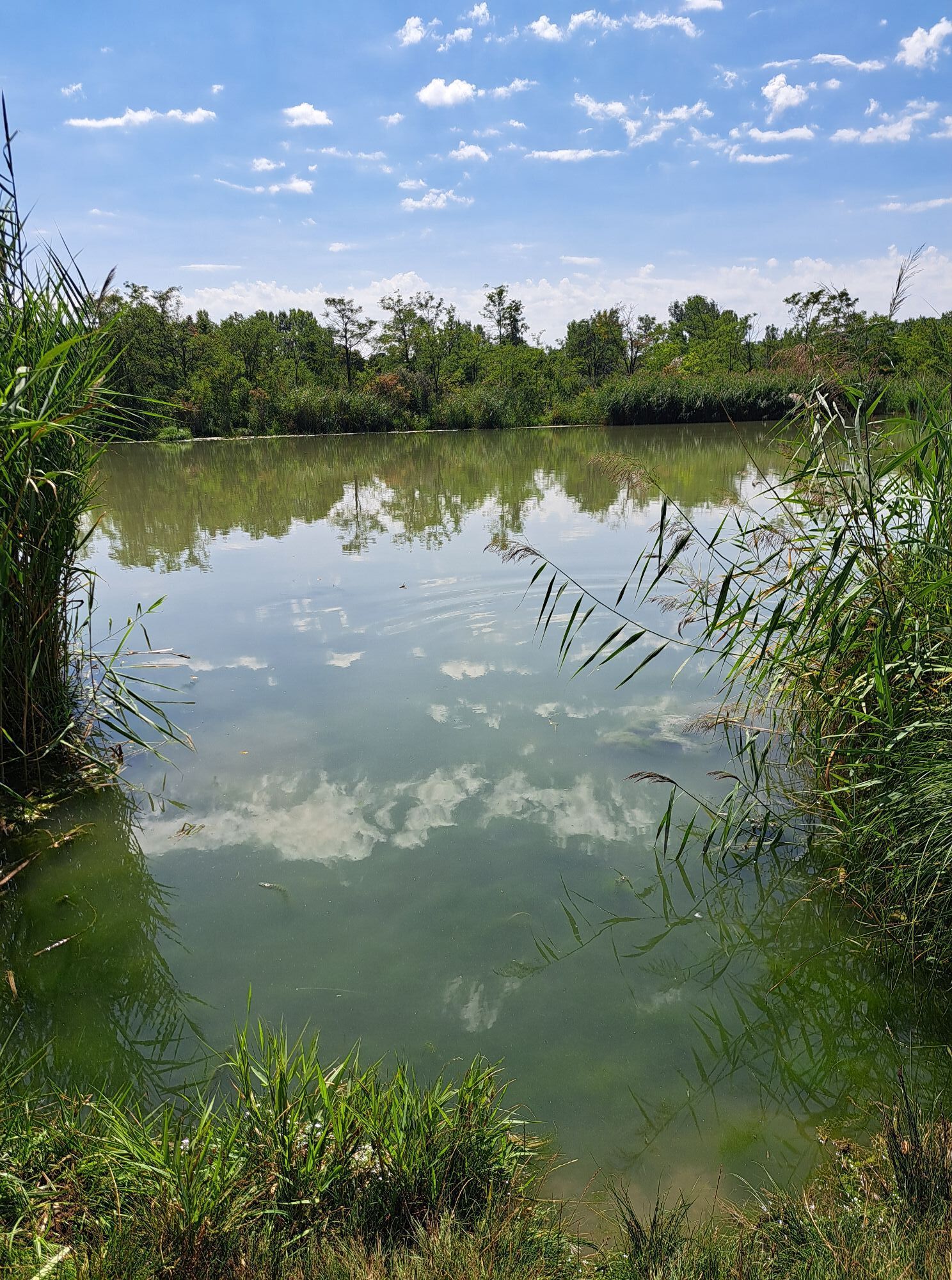

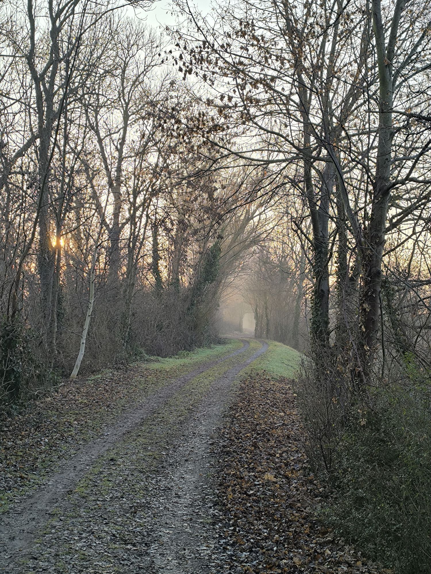
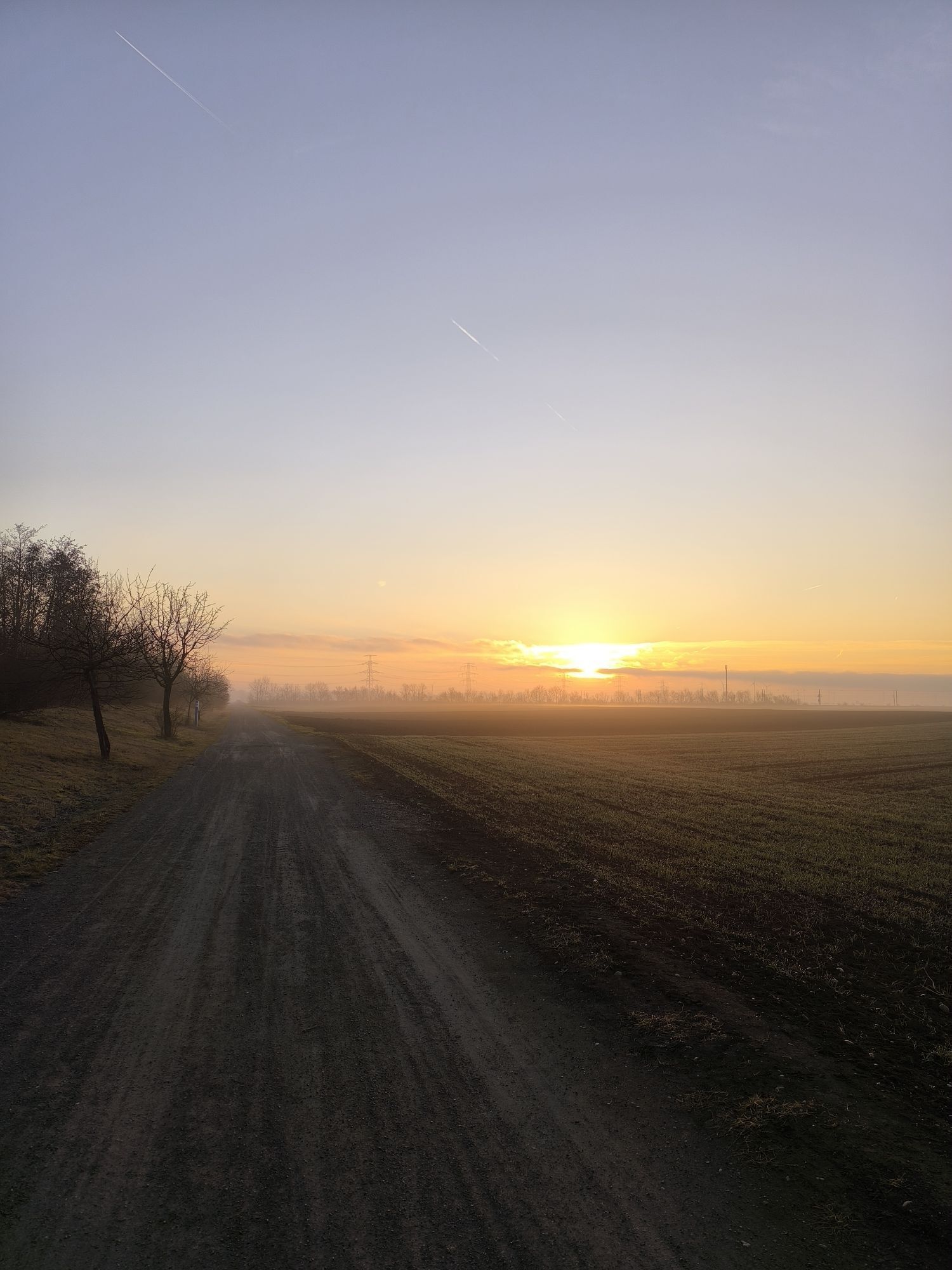
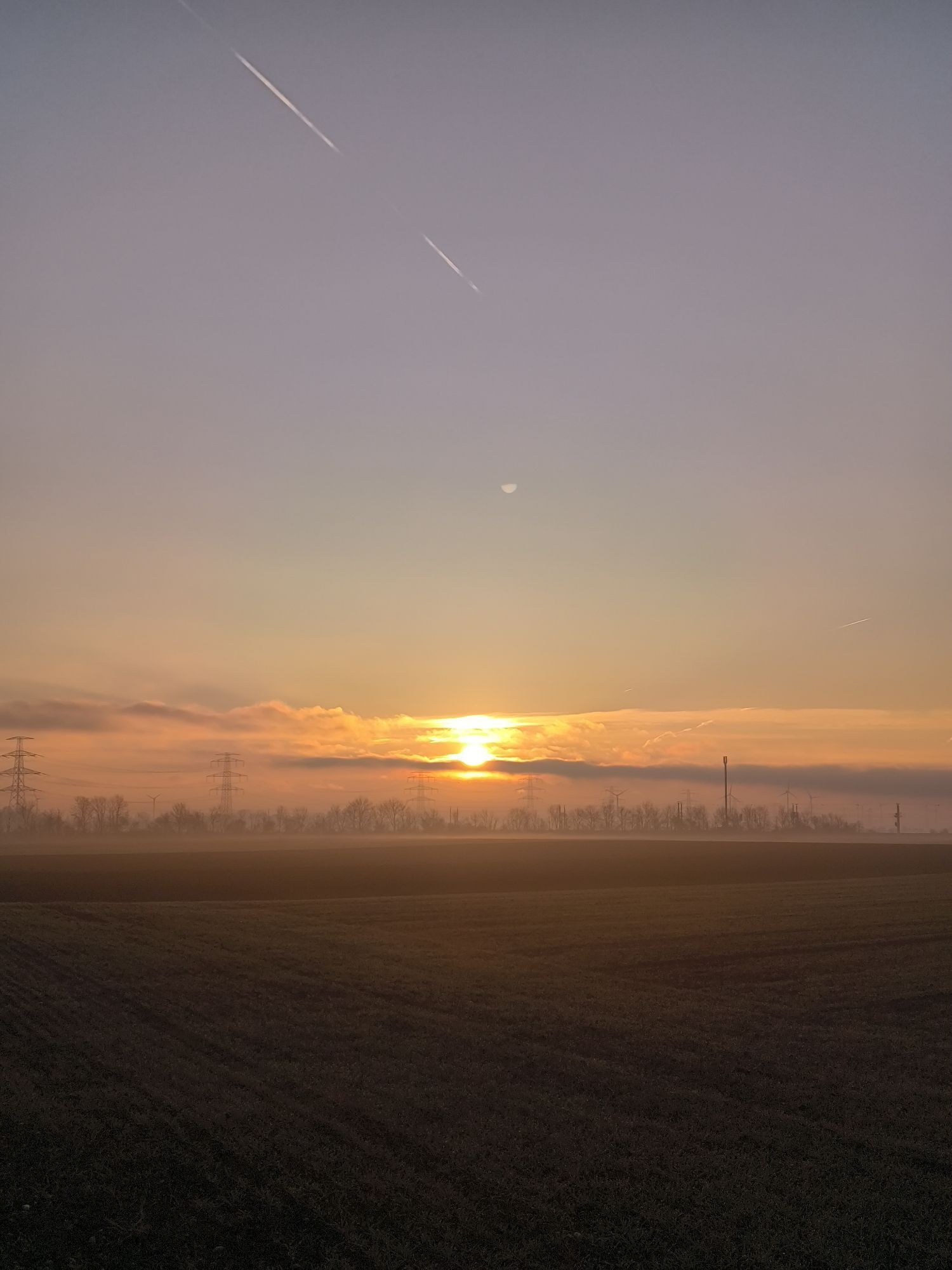
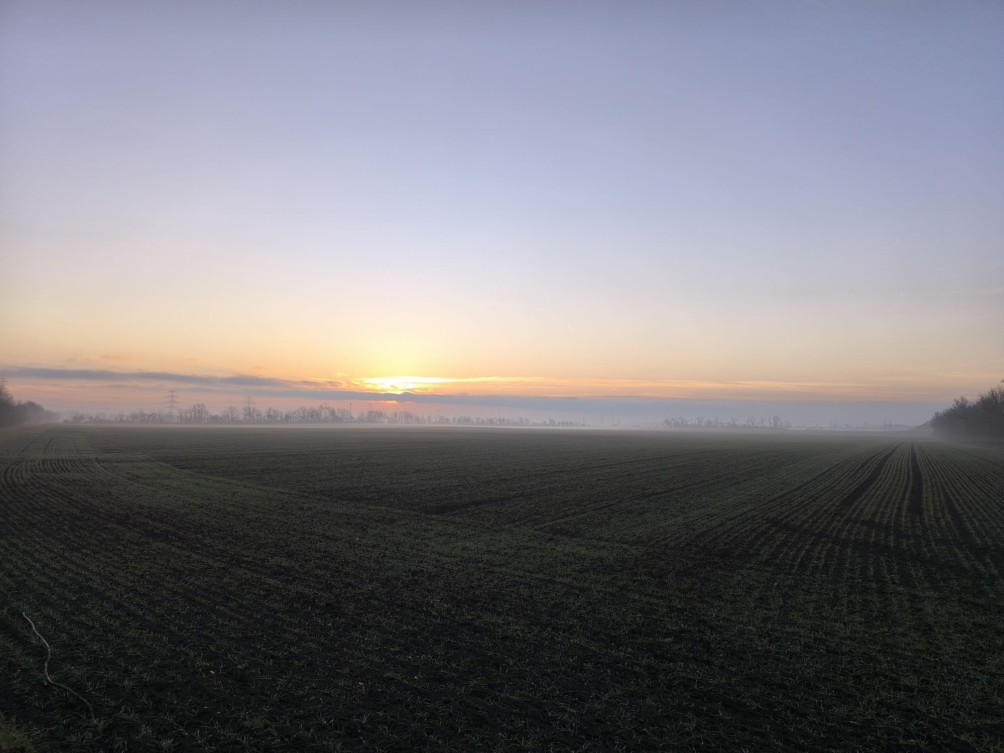
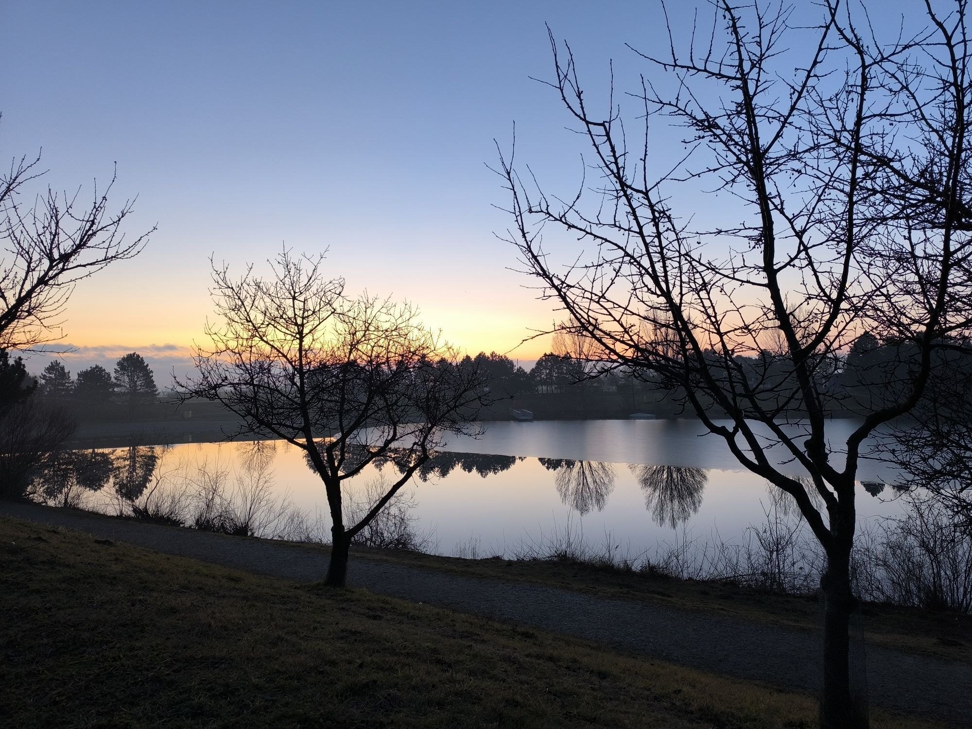
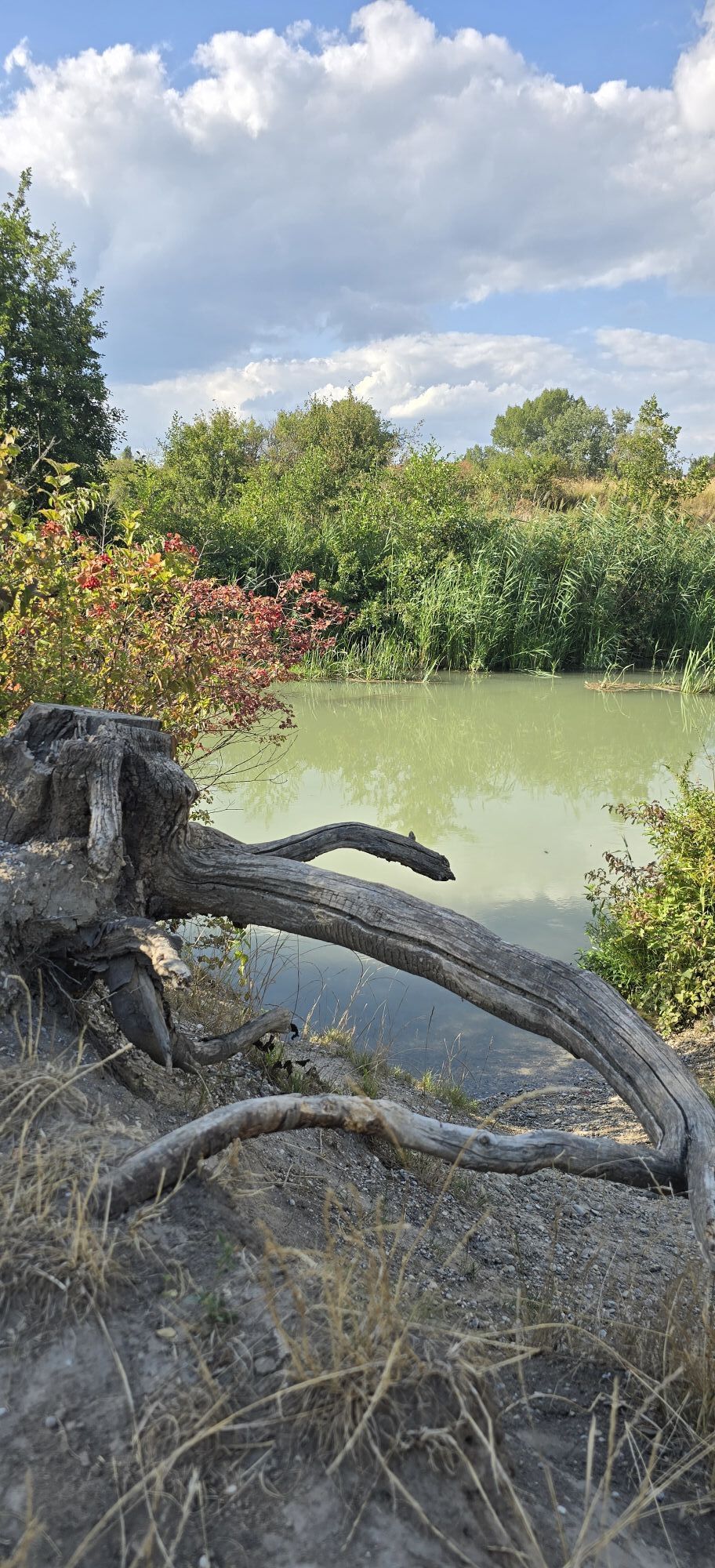
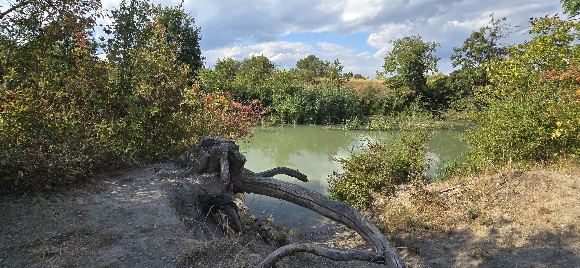
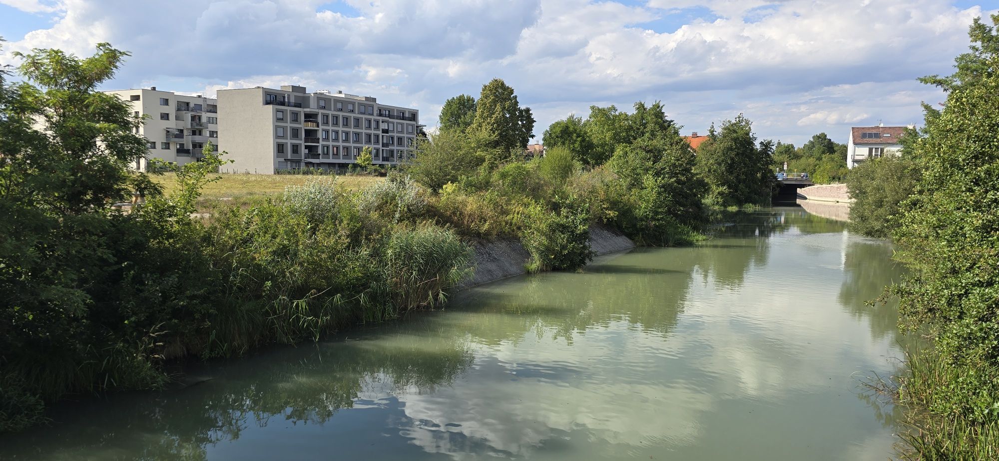
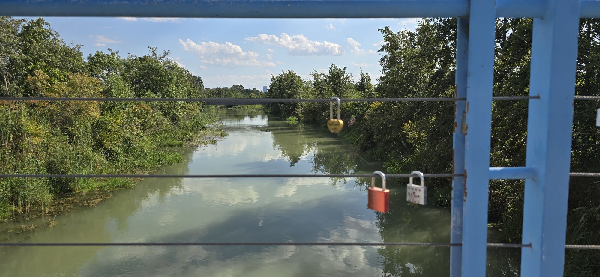
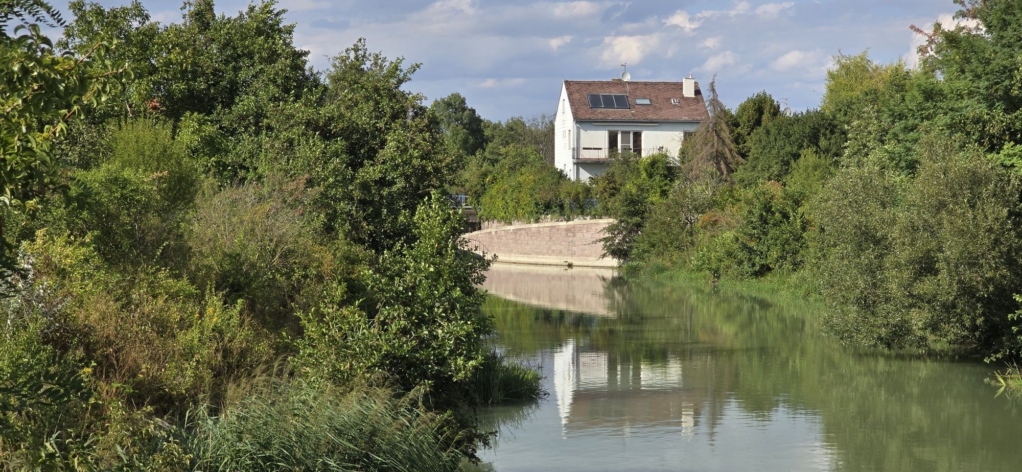
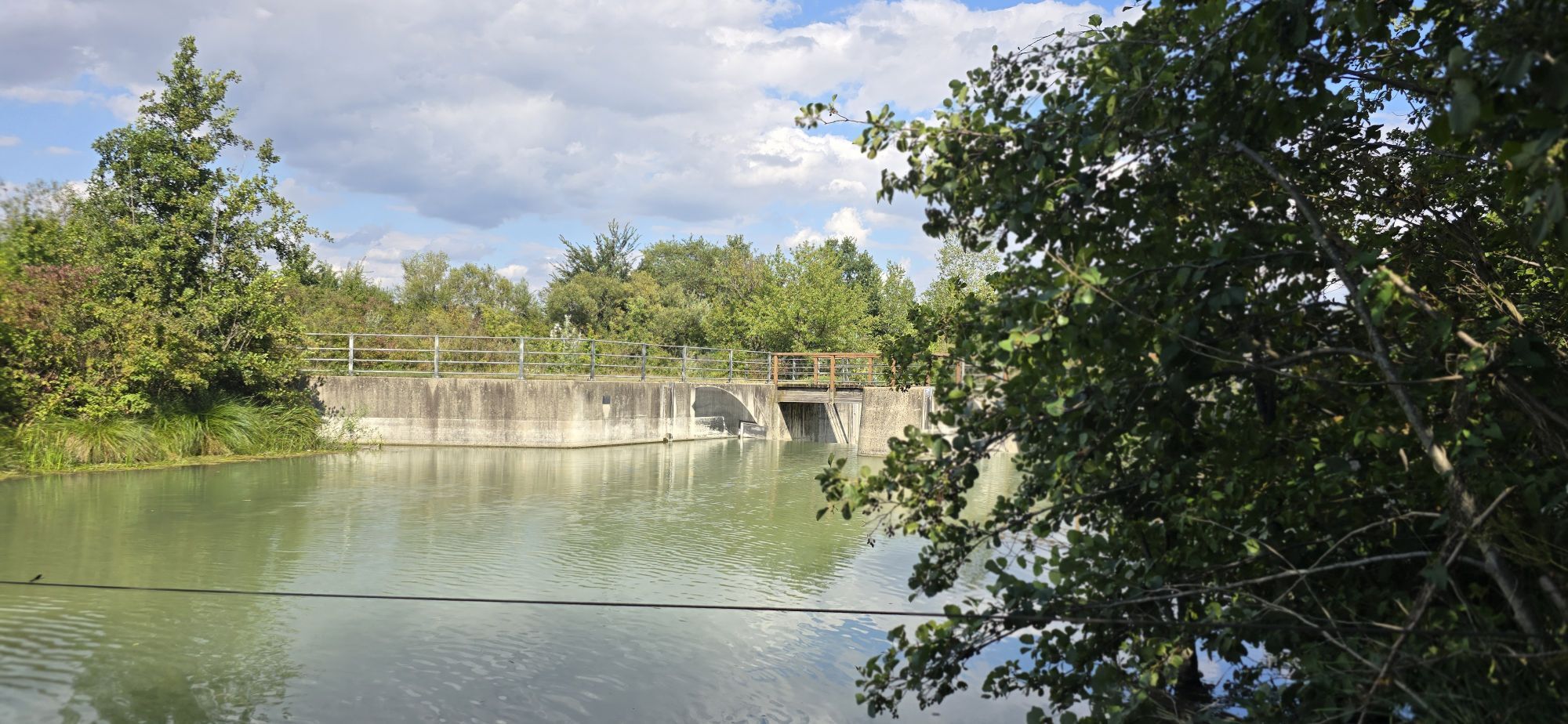
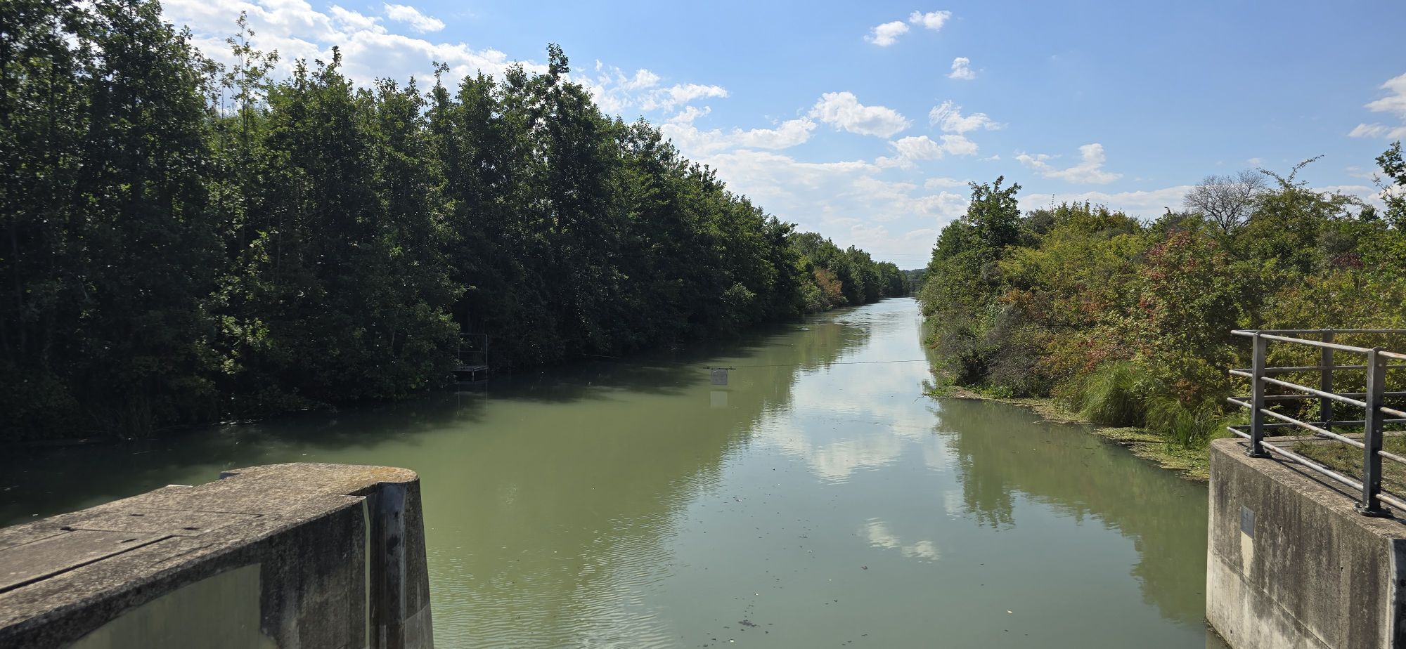
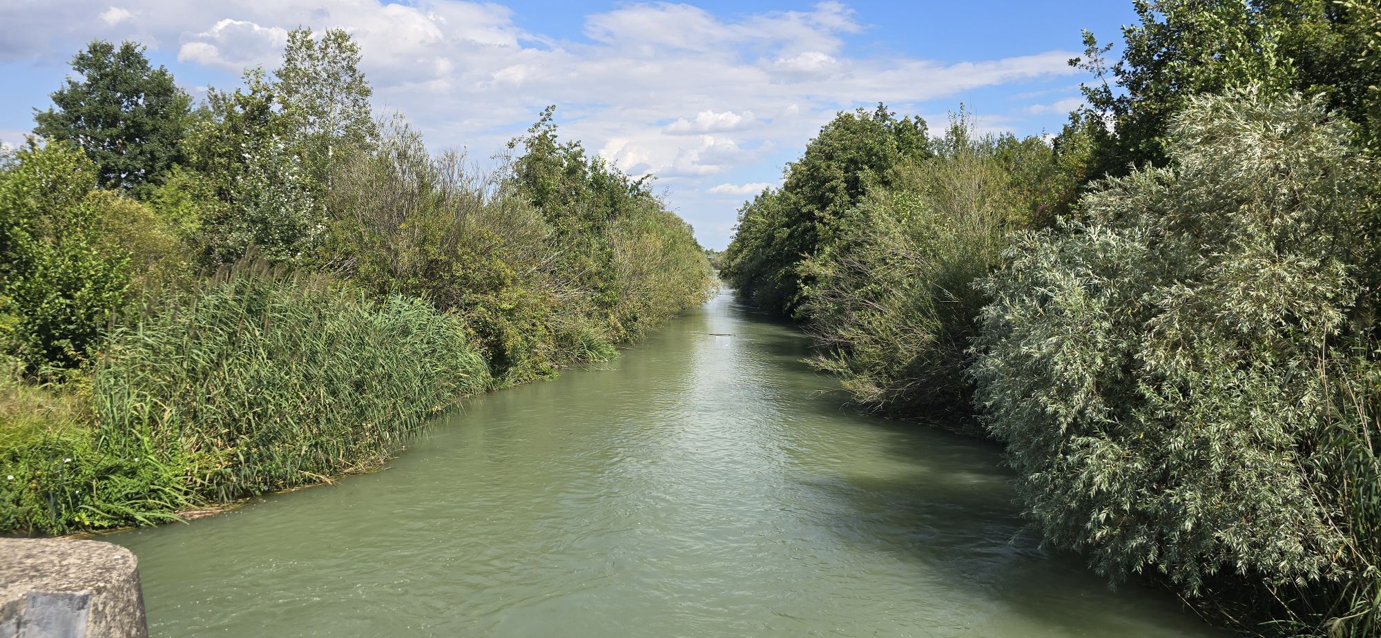
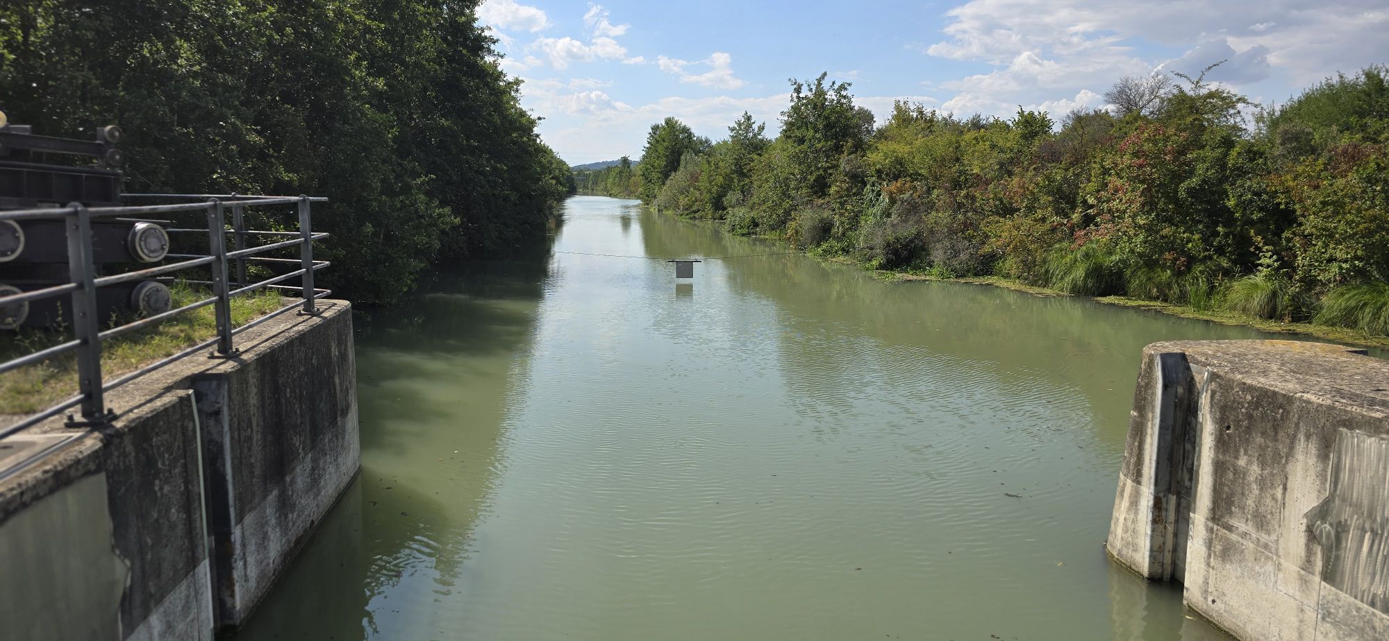
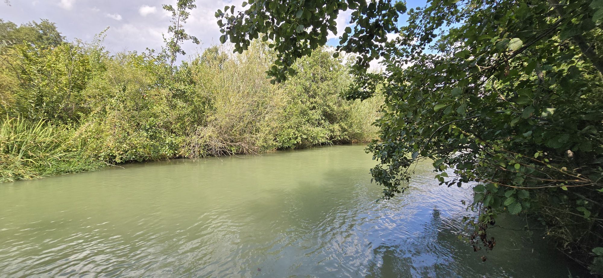
The Marchfeldkanal cycle route leads you from the big city of Vienna, through Austria's vegetable garden, the Marchfeld, to impressive castles. The entire route lies idyllically along the Marchfeldkanal...
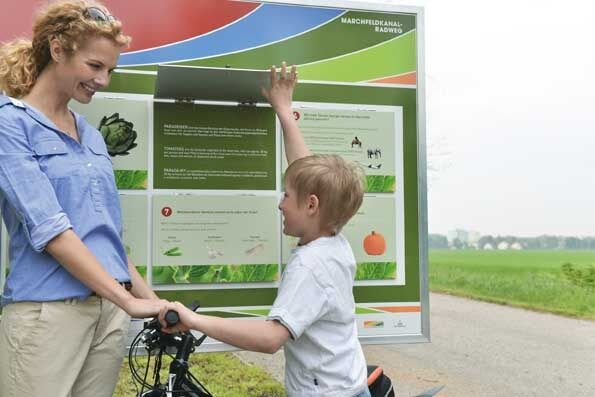
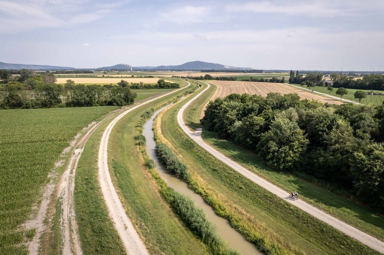
<p>The Marchfeldkanal cycle route leads you from the big city of Vienna, through Austria's vegetable garden, the Marchfeld, to impressive castles. The entire route lies idyllically along the Marchfeldkanal and the Russbach. The destination is Schloss Hof. Partner businesses in the towns of the Marchfeld invite you to refreshment, culinary enjoyment, and overnight stays. Your cycling excursion can also be excellently combined with train or boat trips on the Danube. The route along the canal allows you to cycle calmly and relaxed, away from motorized traffic and without steep climbs.</p><p>Many interesting topics such as the Marchfeldkanal as a nature-oriented structure, Napoleon's history in the Marchfeld, nature, art, and of course the magnificent Marchfeld castles can be experienced along the cycle route and in its surroundings. Culinary delights and Marchfeld products direct from the farm await you at the Marchfeld businesses.<br /><br />Note: Please be especially attentive in the "Marchfeldkanal" section within the city area of Vienna up to the border of Gerasdorf due to increased recreational use (cyclists, pedestrians, runners, etc.)! </p>

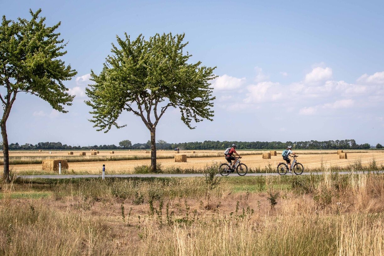
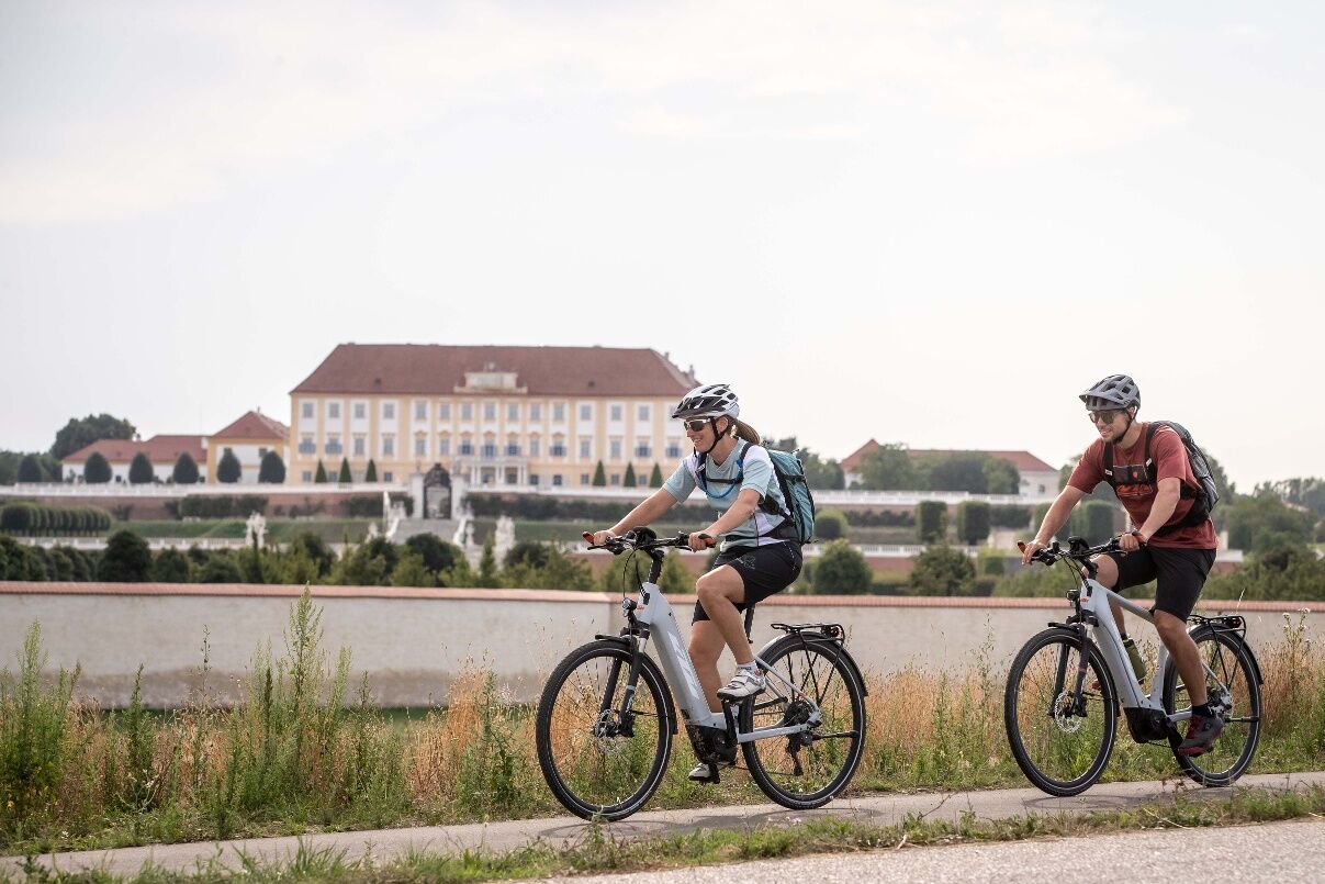
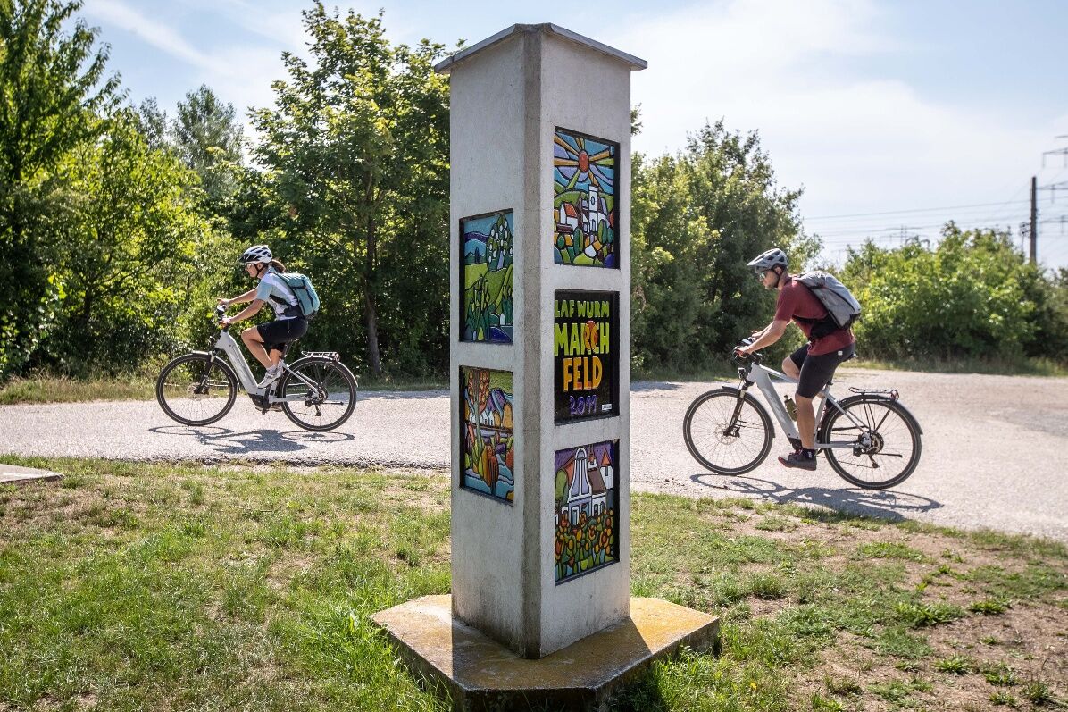

In the Weinviertel, there are over 100 cycle partner businesses that cater especially to the needs of cyclists. A listing of all businesses can be found on our Cycle Partner page. Using the filter function, you can conveniently display the businesses along the desired cycle route. Another filter allows you to search for suitable accommodation or a suitable gastronomy business.
Infórmate
Siempre en directo con más de 9.500 webcams. bergfex Como usuario Pro, ahora puede ver las webcams correspondientes a muchos tours en la app de tours desde. Esto le permite ver las condiciones actuales directamente.
Rutas populares en los alrededores
-
3,5
Stadtwanderweg 10
luzSenderismo 6,90 km -
4,8
Deutsch-Wagram, kleine Rundwanderung
luzSenderismo 9,06 km -
4,6
Eine große Runde durch die Lobau
medioSenderismo 25,3 km -
4,4
Mühlwasserrunde
luzSenderismo 10,6 km -
3,1
Hiking trail at the historical battle field – Battle of Wagram
luzSenderismo 14,8 km -
3,3
Rundwanderung historisches Schlachtfeld - Schlacht bei Wagram
luzSenderismo 10,8 km -
4,8
Untere Lobau
luzSenderismo 7,93 km -
4,6
»Tut gut« Schritteweg Bockfließ
luzSenderismo 7,08 km -
4,5
Spaziergang Lobau zur Panozzalacke
luzSenderismo 11,4 km -
4,0
Mannswörther Au
luzSenderismo 5,52 km
Senderismo y rastreo


No se pierda las ofertas y la inspiración para sus próximas vacaciones
Su dirección de correo electrónico se ha añadido a la lista de correo.





