Hiking trail at the historical battle field – Battle of Wagram
luz
Consigue este tour en tu móvil
Hiking trail at the historical battle field – Battle of Wagram
luz
Senderismo
14,75
km
Escanee el código QR e inicie la navegación en la aplicación bergfex


Senderismo y rastreo




Hiking trail at the historical battle field – Battle of Wagram
luz
Distancia
14,75
km
Duración
04:15
h
Ascenso
21
m
Nivel del mar
152 -
165
m
Descarga de pistas
Hiking trail at the historical battle field – Battle of Wagram
luz
Senderismo
14,75
km
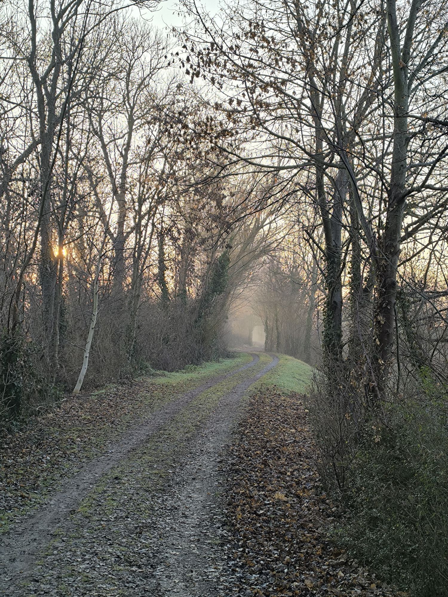
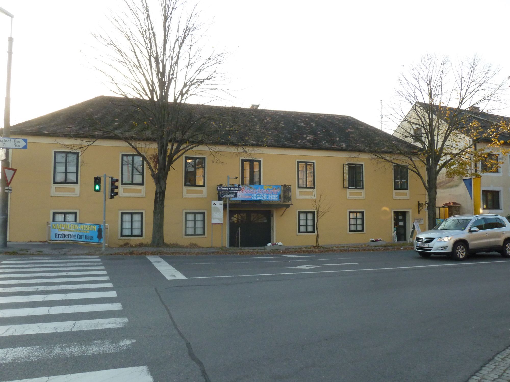
Die Wanderung beginnt beim Museum.
Ruta
Deutsch-Wagram
(157 m)
Ciudad
0,0 km
Parbasdorf
(155 m)
Pueblo
3,3 km
Dreifaltigkeitskirche
(155 m)
Lugar de culto
3,5 km
Mariä Himmelfahrt
(154 m)
Lugar de culto
7,8 km
Markgrafneusiedl
(154 m)
Pueblo
7,8 km
Parbasdorf
(155 m)
Pueblo
11,4 km
Deutsch-Wagram
(157 m)
Ciudad
14,5 km
Ruta
Hiking trail at the historical battle field – Battle of Wagram
luz
Senderismo
14,75
km
Deutsch-Wagram
(157 m)
Ciudad
0,0 km
Parbasdorf
(155 m)
Pueblo
3,3 km
Dreifaltigkeitskirche
(155 m)
Lugar de culto
3,5 km
Mariä Himmelfahrt
(154 m)
Lugar de culto
7,8 km
Markgrafneusiedl
(154 m)
Pueblo
7,8 km
Parbasdorf
(155 m)
Pueblo
11,4 km
Deutsch-Wagram
(157 m)
Ciudad
14,5 km
Autor
Proporcionado por Tourismuskommission Deutsch-Wagram
Creado el 05. noviembre 2017
3.545
Llamadas
Compartir gira
Hiking trail at the historical battle field – Battle of Wagram
luz
Senderismo
14,75
km
Error
Se ha producido un error. Por favor, inténtelo de nuevo.


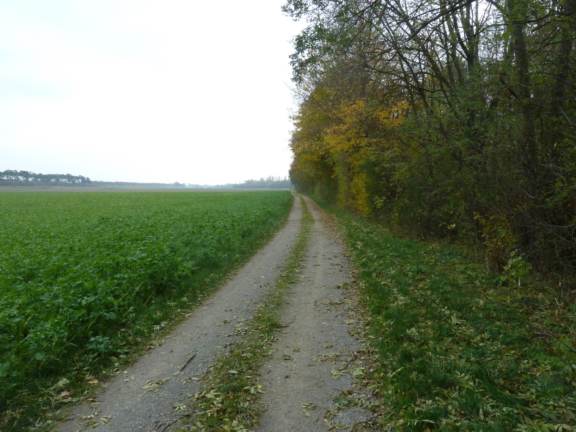
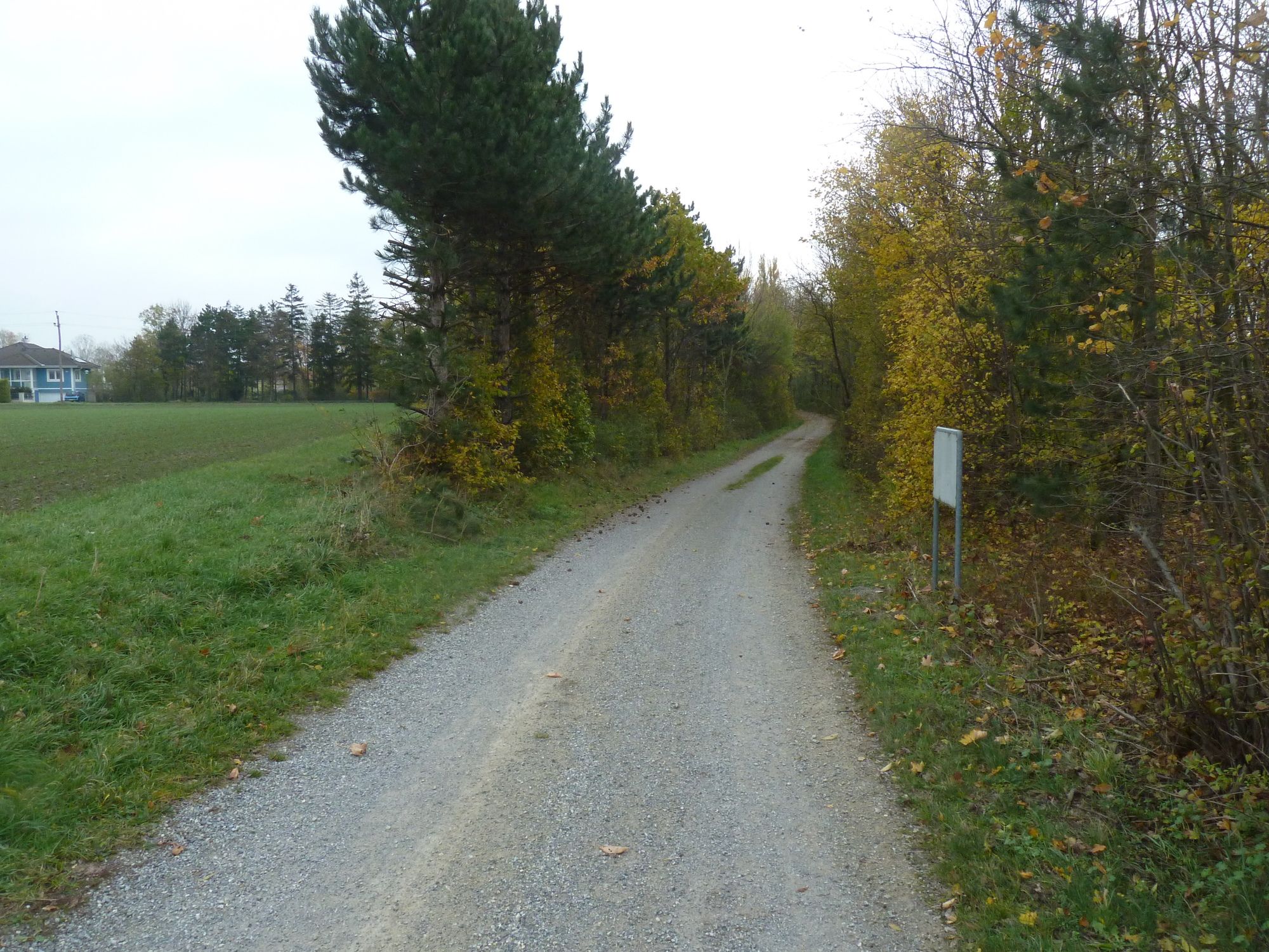
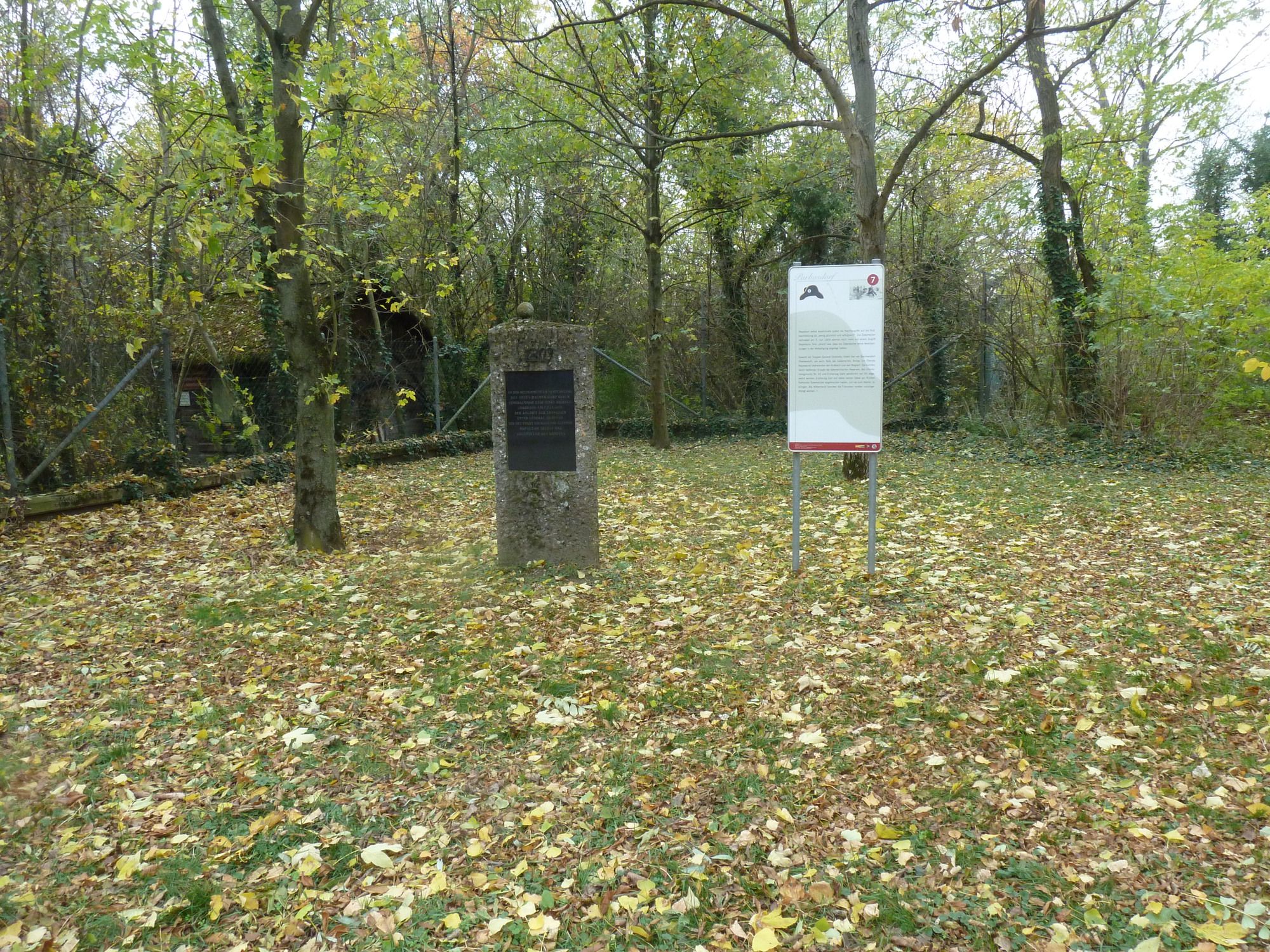
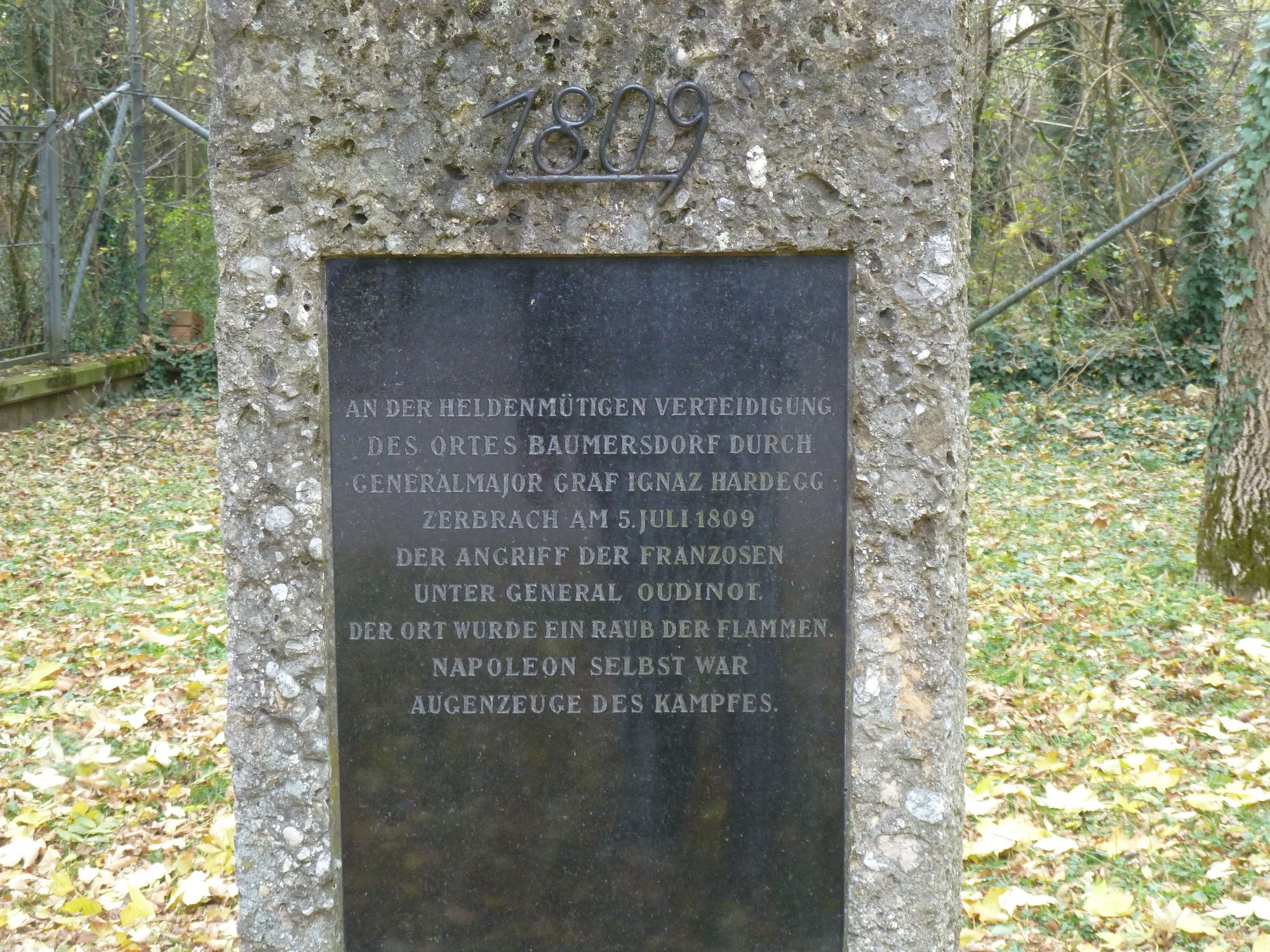

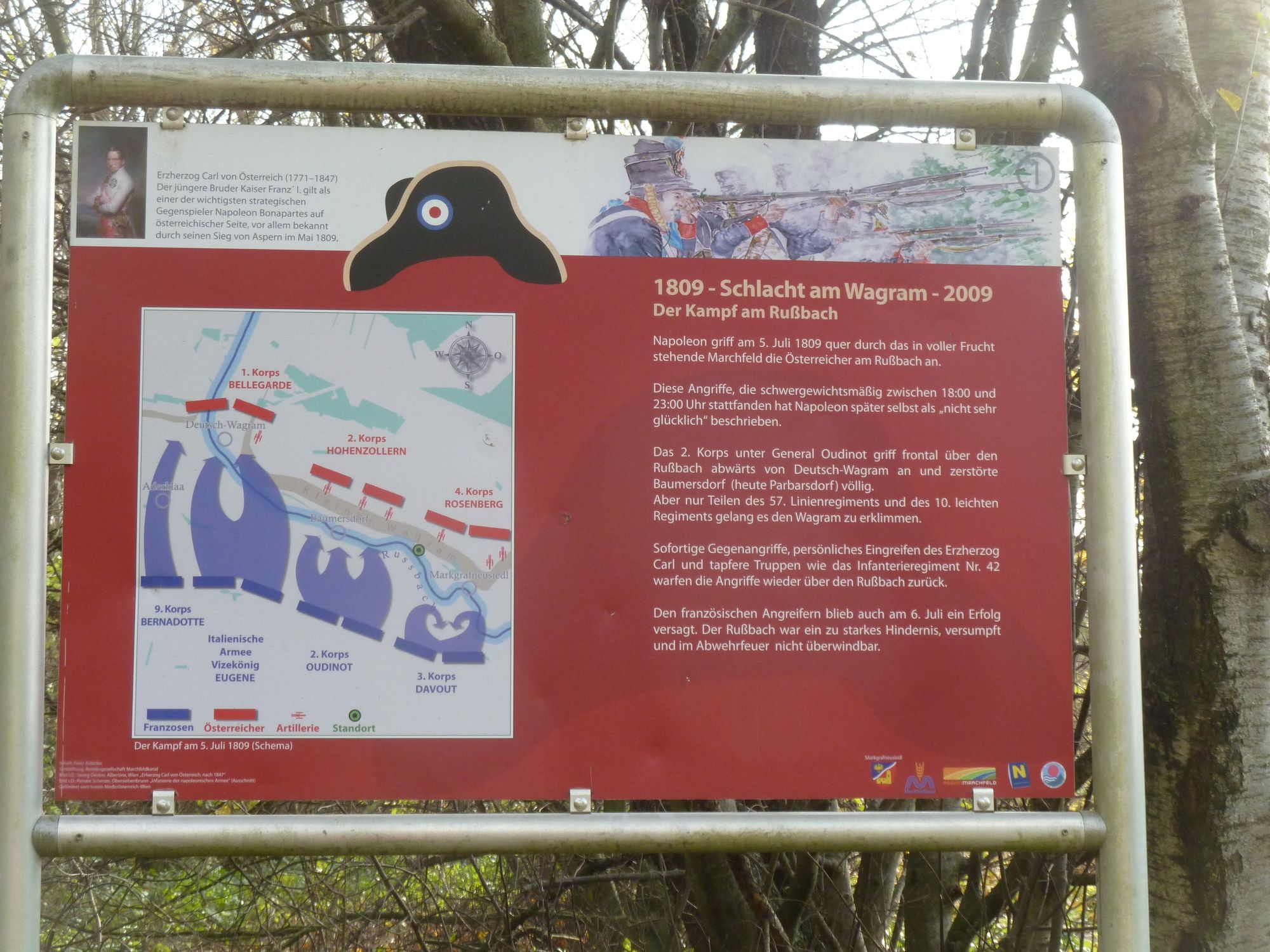
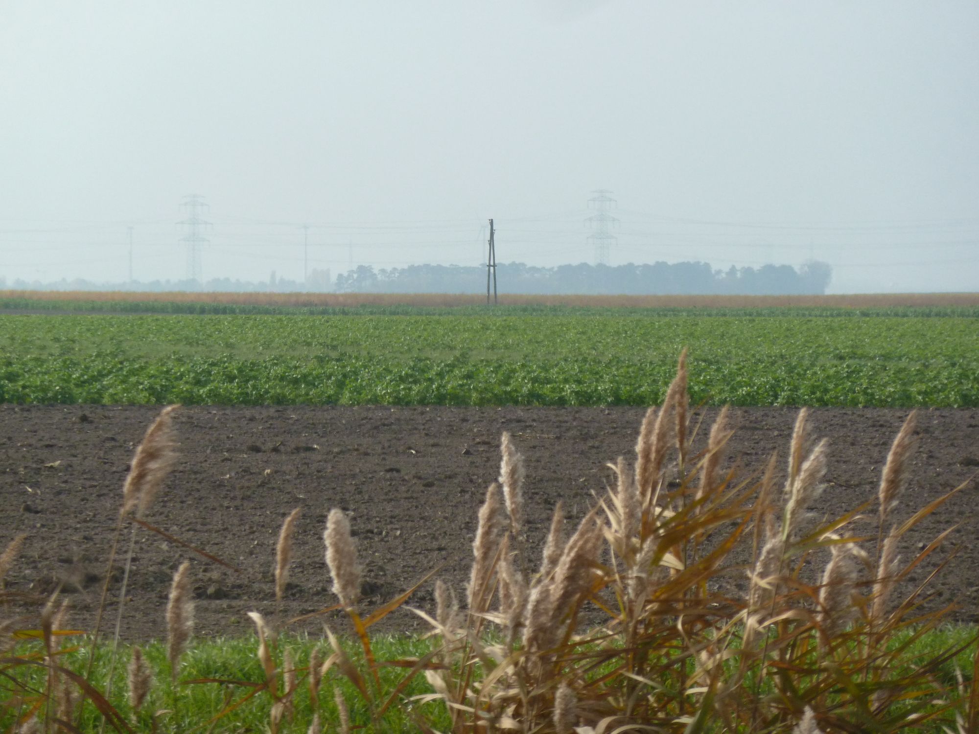

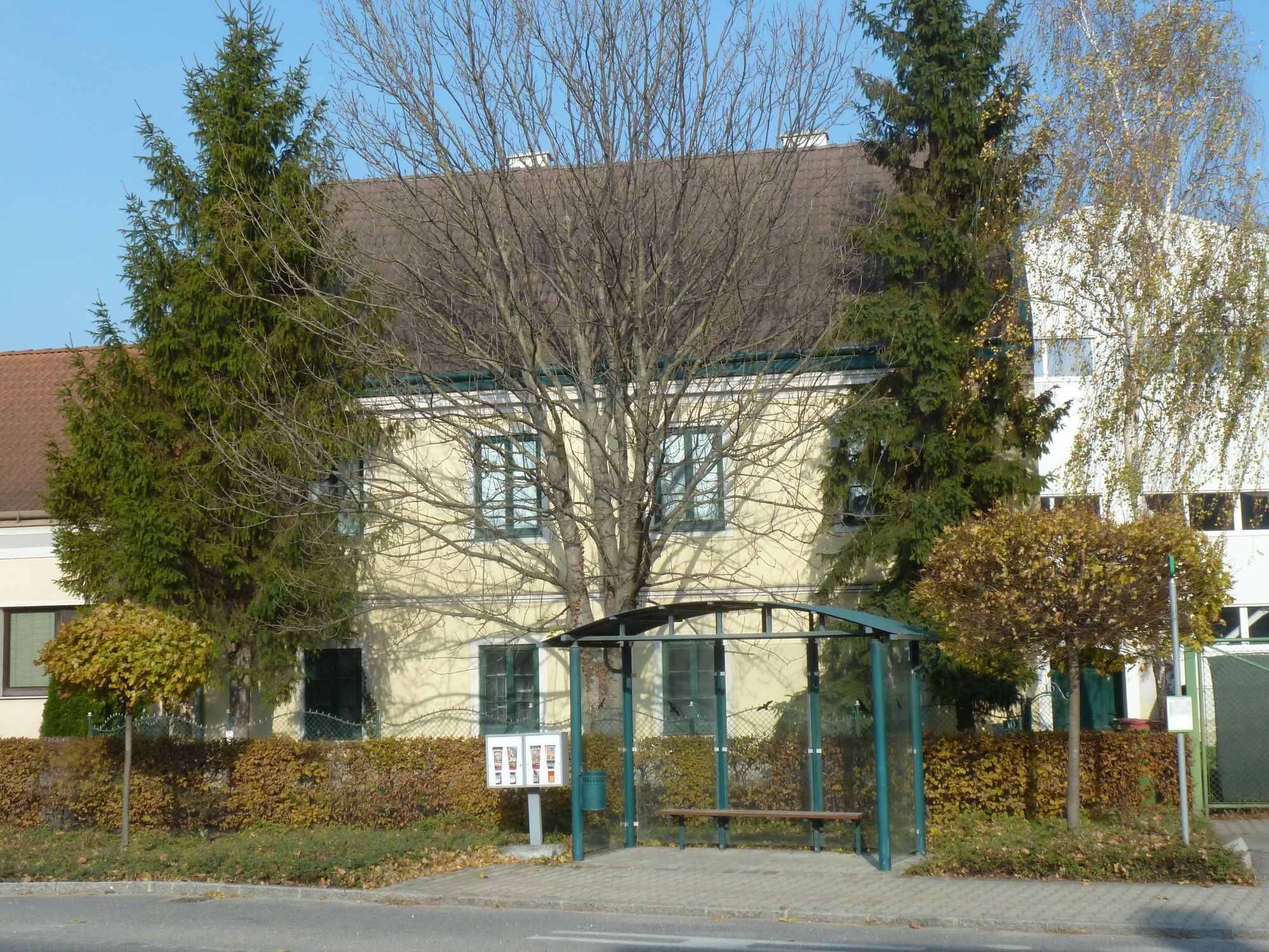
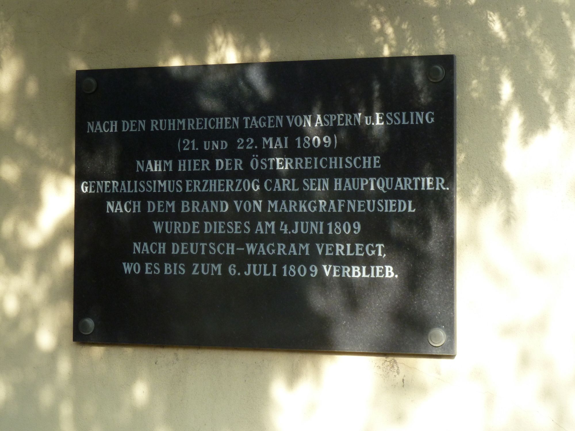
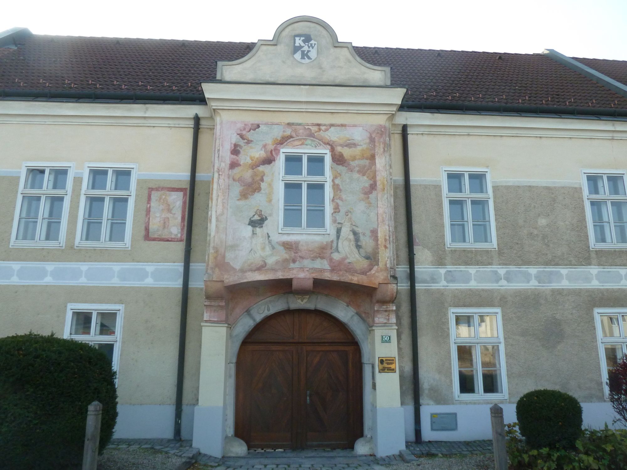
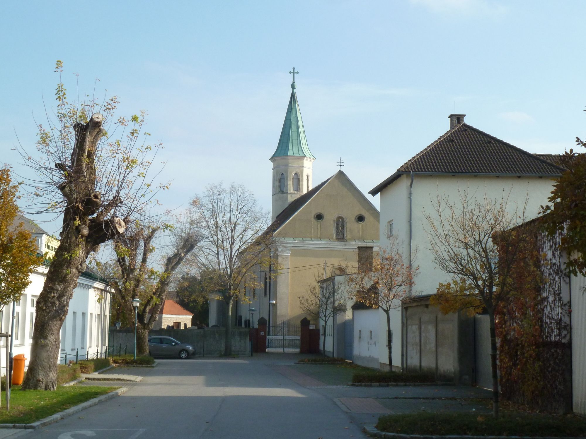
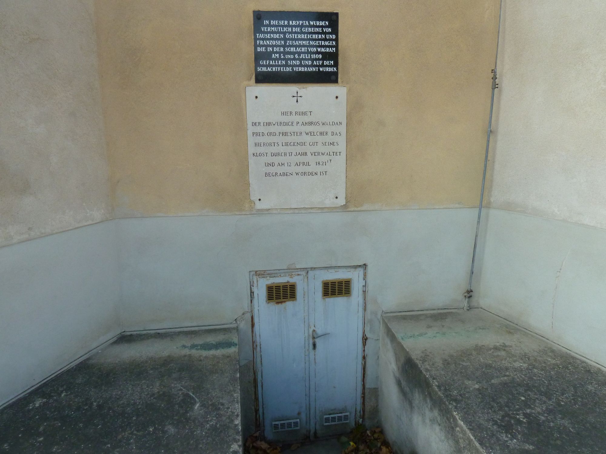
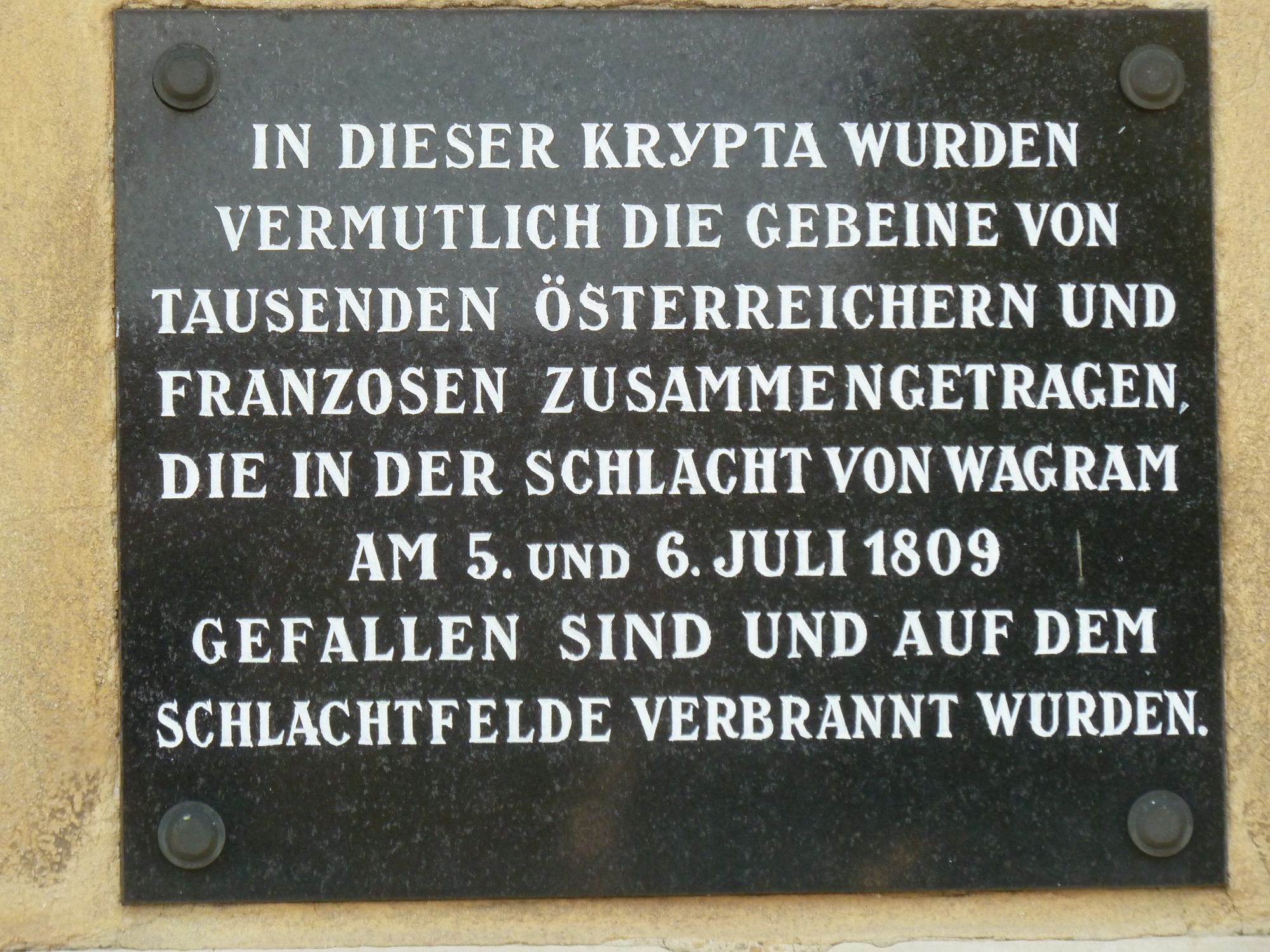
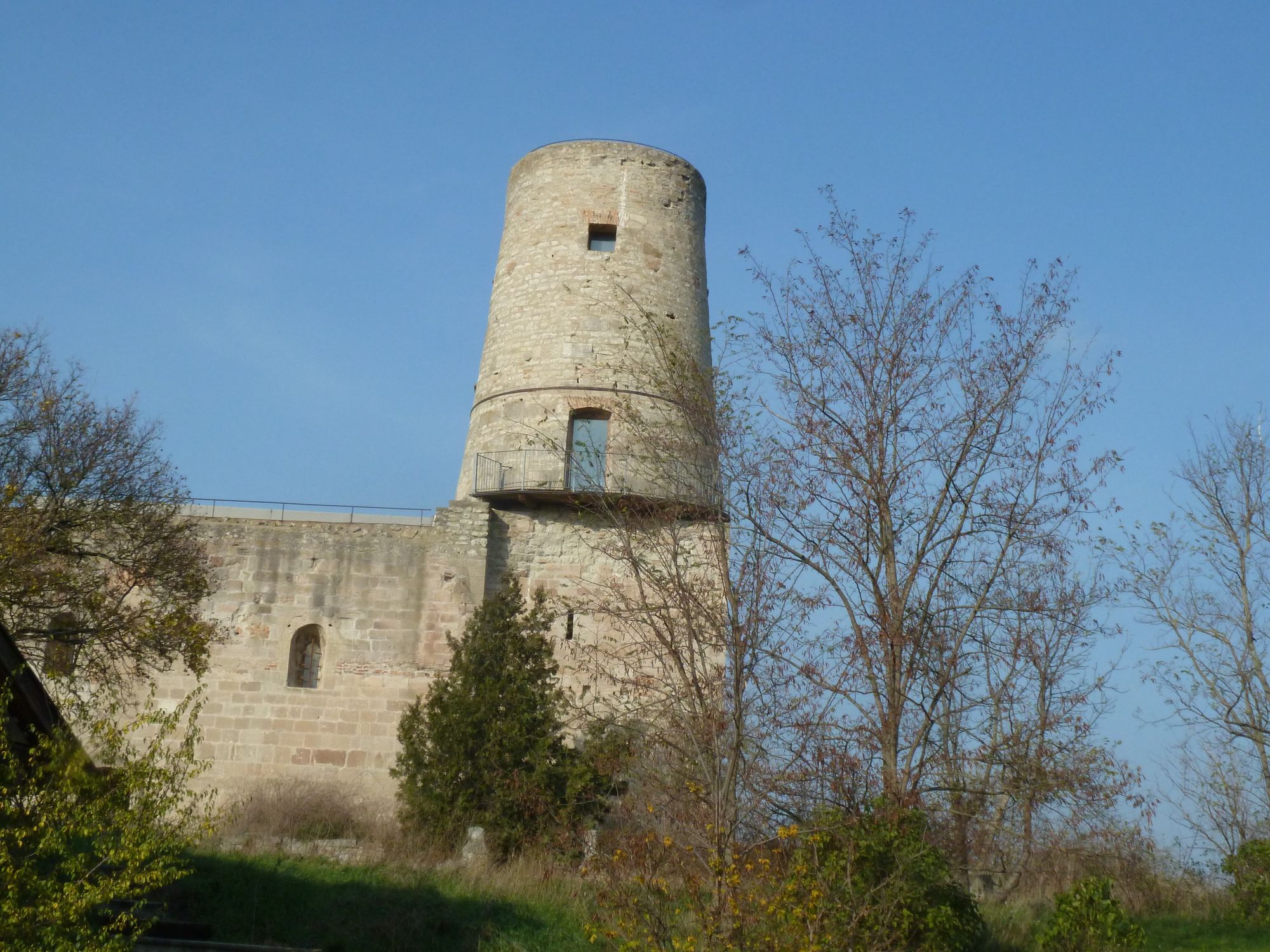

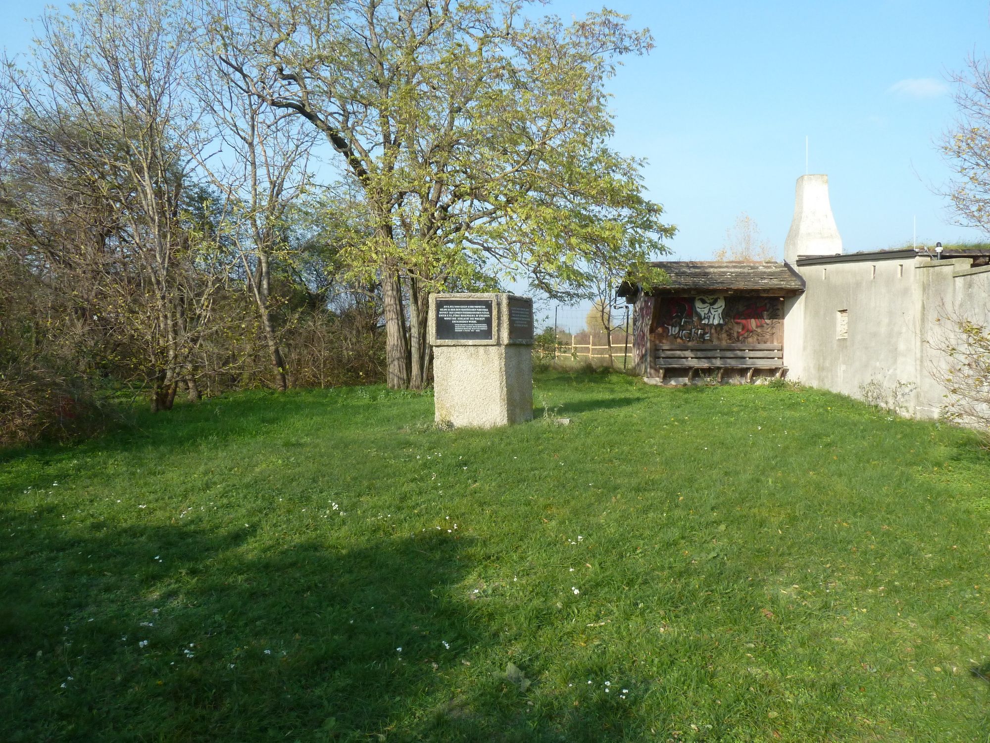
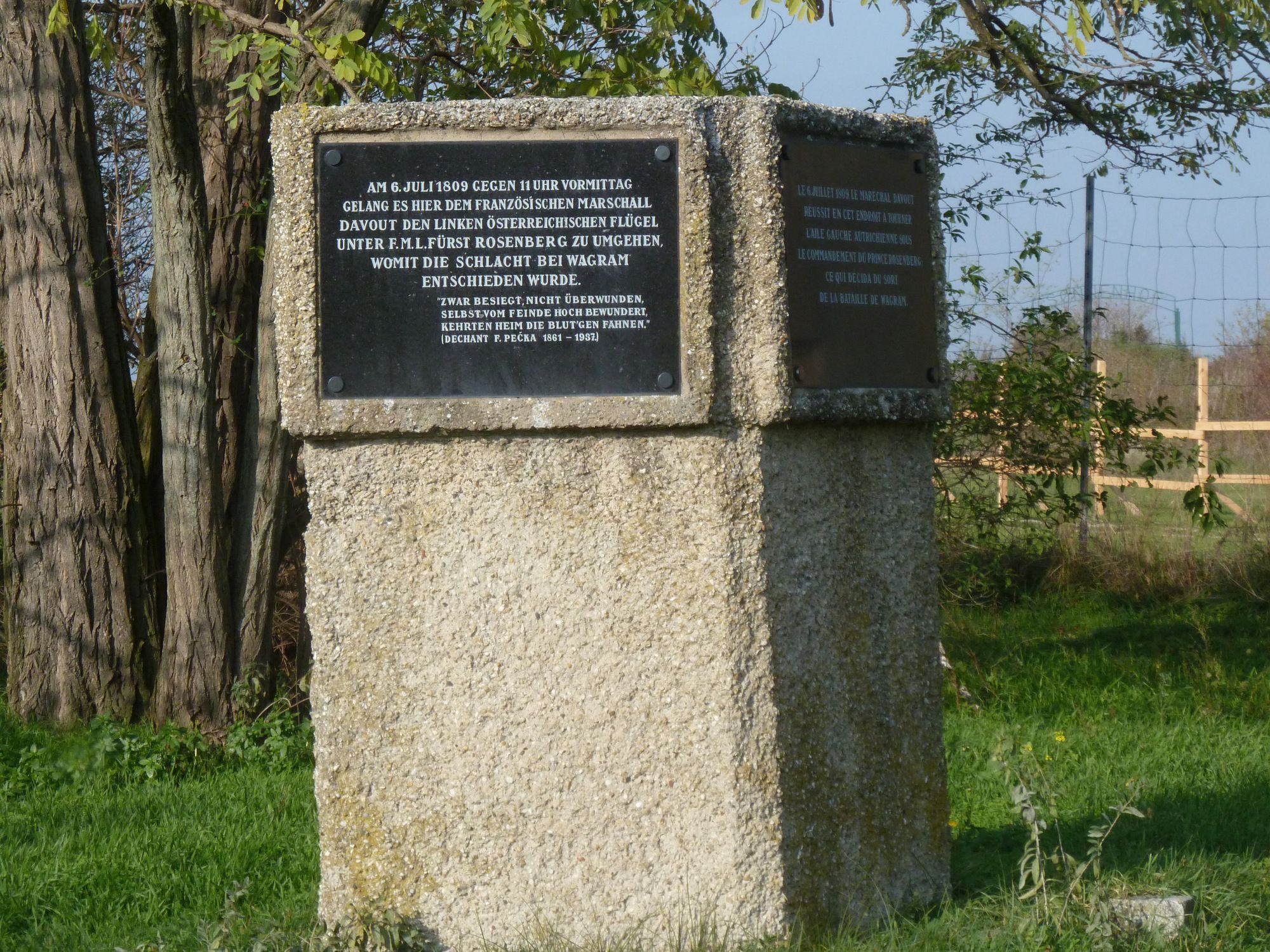
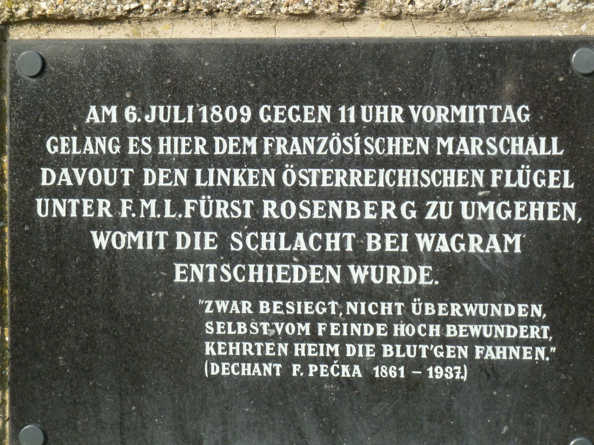

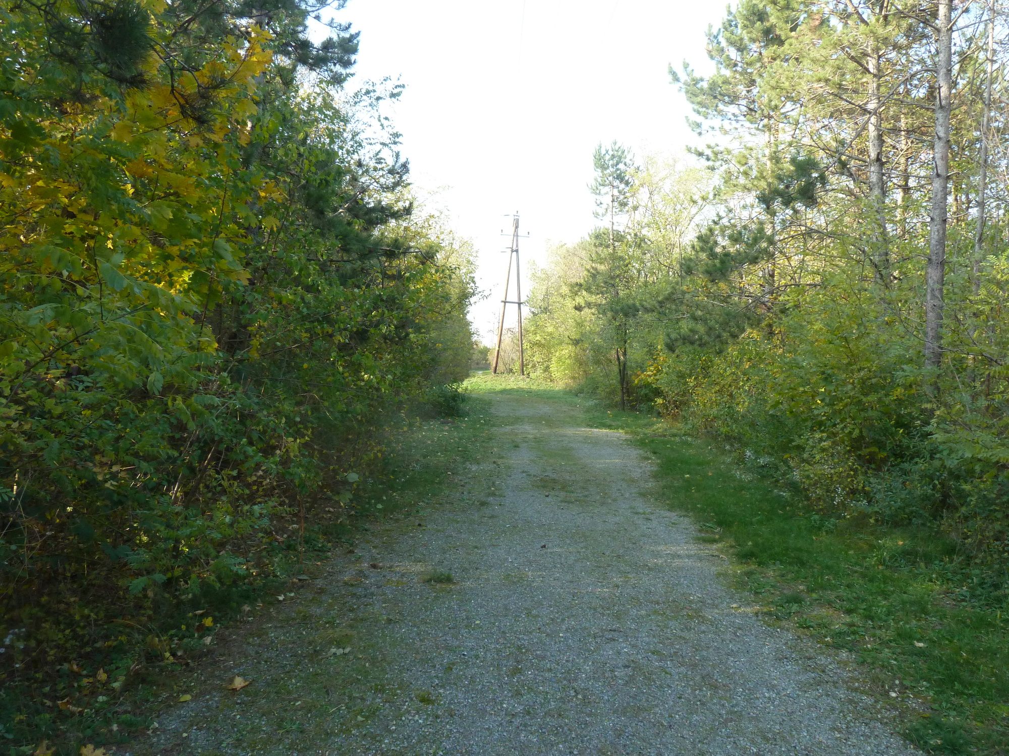
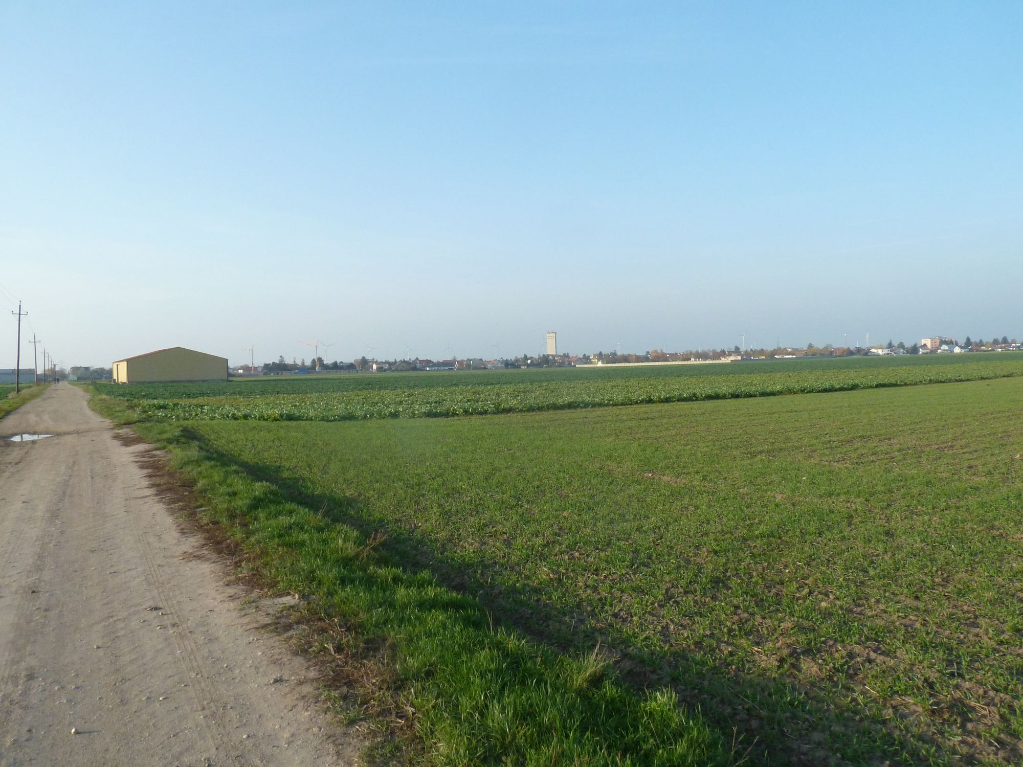
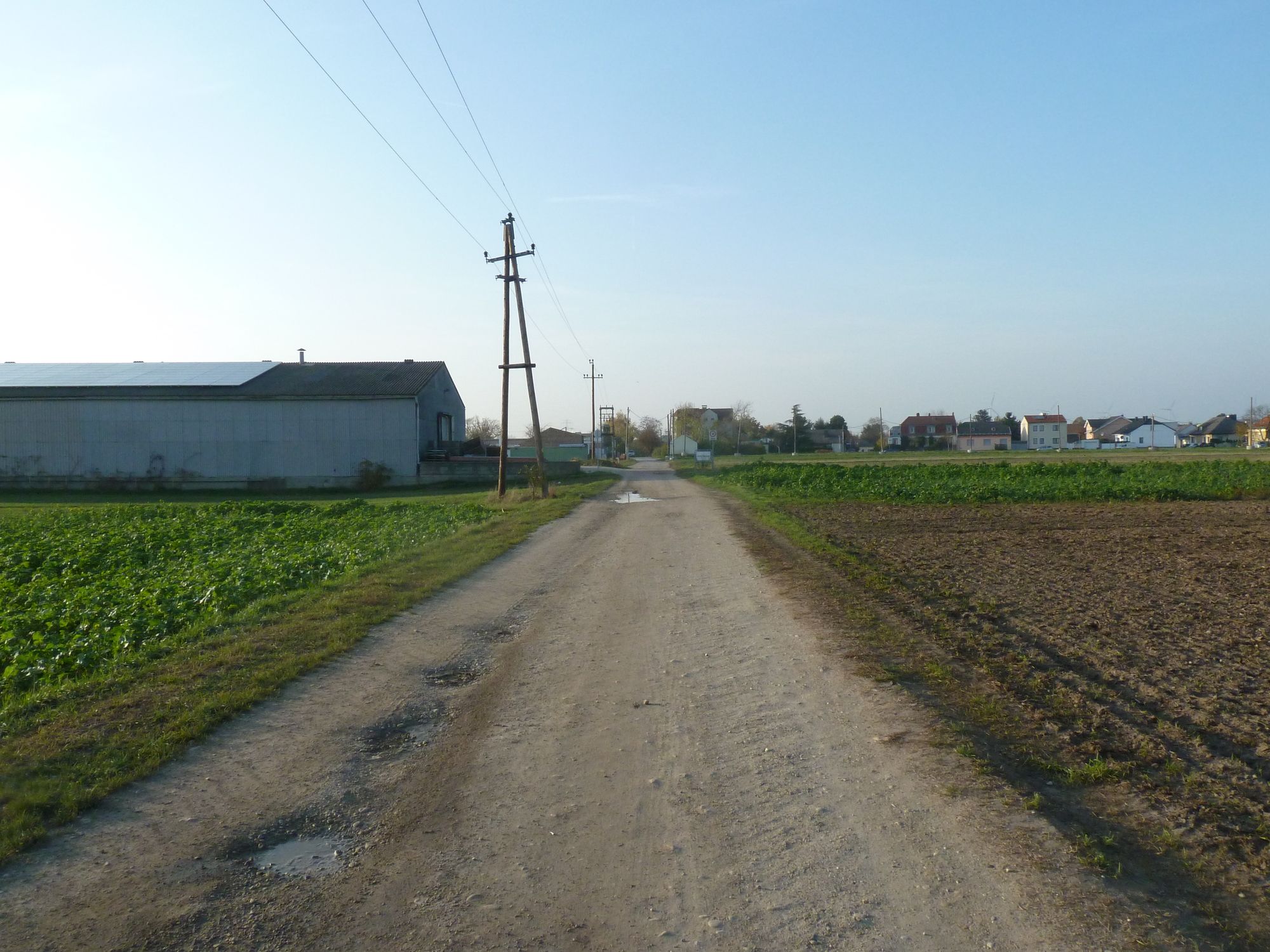
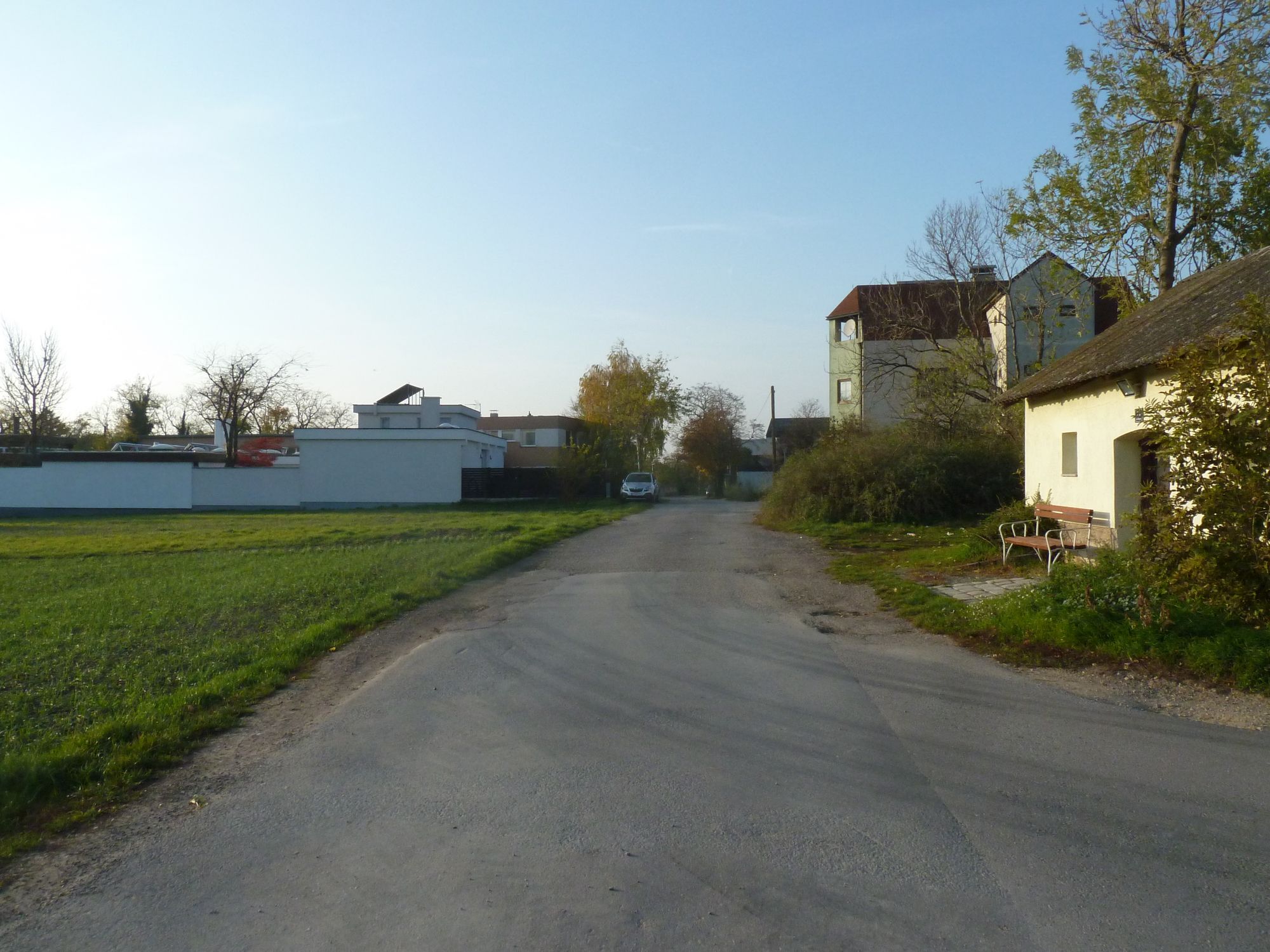


Información sobre la ruta
Alternativas
Der Rundweg kann über Feldwege leicht abgekürzt werden, zB in Parbasdorf
Parada de descanso y avituallamiento
Gastronomie in Deutsch-Wagram
Adecuado para personas mayores
Sí
Adecuado para familias
Sí
Zona forestal
Sí
Equipamiento
Wanderschuhe, Regenschutz und im Sommer Sonnenschutz
Información de llegada
Llegada
Bundesstraße B8 Ortseinfahrt von Deutsch-Wagram.
Öffentlich S-Bahn S1 Meidling - Gänserndorf, Bahnhof Deutsch-Wagram
10 Minuten bis zum Museum
Transporte público
S-Bahn S1 Meidling - Gänserndorf, Bahnhof Deutsch-Wagram
10 Minuten bis zum Museum
Aparcamiento
An der Ortseinfaht von Deutsch-Wagram gibt es ausreichend Parkplätze.
Información adicional y consejos
Enlace
Valoraciones
2 Comentarios

Alexander Pollak 2

27. may.. 2026
Muss man nicht machen
Hinweg ganz nett…Rückweg ziemlich fad und zach

Veri89
31. ene.. 2026
Strecke
Eher zum Radfahrern geeignet, als Wanderweg würde ich diese Strecke nicht weiterempfehlen.. auch wenn es "nur" gerade aus geht, ist es keine schöne Strecke finde ich
Rutas populares en los alrededores
-
4,5
Stadtwanderweg 5 Bisamberg (lt. Beschilderung)
luzSenderismo 10,5 km -
3,5
Stadtwanderweg 10
luzSenderismo 6,90 km -
4,8
Deutsch-Wagram, kleine Rundwanderung
luzSenderismo 9,06 km -
4,5
Untere Alte Donau
luzSenderismo 7,50 km -
4,8
Eine große Runde durch die Lobau
medioSenderismo 25,3 km -
3,3
Rundwanderung historisches Schlachtfeld - Schlacht bei Wagram
luzSenderismo 10,8 km -
4,5
Mühlwasserrunde
luzSenderismo 10,6 km -
4,8
Untere Lobau
luzSenderismo 7,93 km -
4,6
»Tut gut« Schritteweg Bockfließ
luzSenderismo 7,08 km -
3,2
Wolkersdorfer Weinberge
luzSenderismo 13,2 km

Senderismo y rastreo

Más de 550.000 sugerencias de excursiones, mapas detallados y un intuitivo planificador de rutas hacen de esta aplicación una herramienta imprescindible para todos los amantes de la naturaleza.

No se pierda las ofertas y la inspiración para sus próximas vacaciones
Suscribirse al boletín de noticias
Error
Se ha producido un error. Por favor, inténtelo de nuevo.
Gracias por inscribirse
Su dirección de correo electrónico se ha añadido a la lista de correo.
Viajes por Europa
Austria
Suiza
Alemania
Italia
Eslovenia
Francia
Países Bajos
Belgium
Polonia
Liechtenstein
República Checa
Slovakia
España
Croacia
Bosnia y Herzegovina
Luxemburgo
Andorra
Portugal
Iceland
United Kingdom
Ireland
Greece
Albania
North Macedonia
Malta
Norway
Montenegro
Moldova
Kosovo
Hungary
San Marino
Romania
Estonia
Latvia
Belarus
Cyprus
Lithuania
Serbia
Bulgaria
Monaco
Denmark
Sweden
Finland





