


Sonnenkogel

Starting from the village square in Galtür cross the bridge at Vermuntbach. Then followthe path heading uphill, to the left until the fork in the road with signposts for Sonnenkogel. From here the hike...
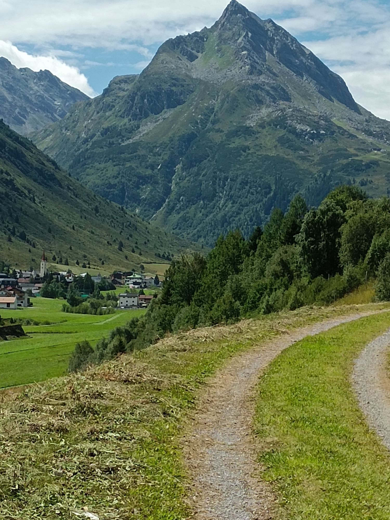
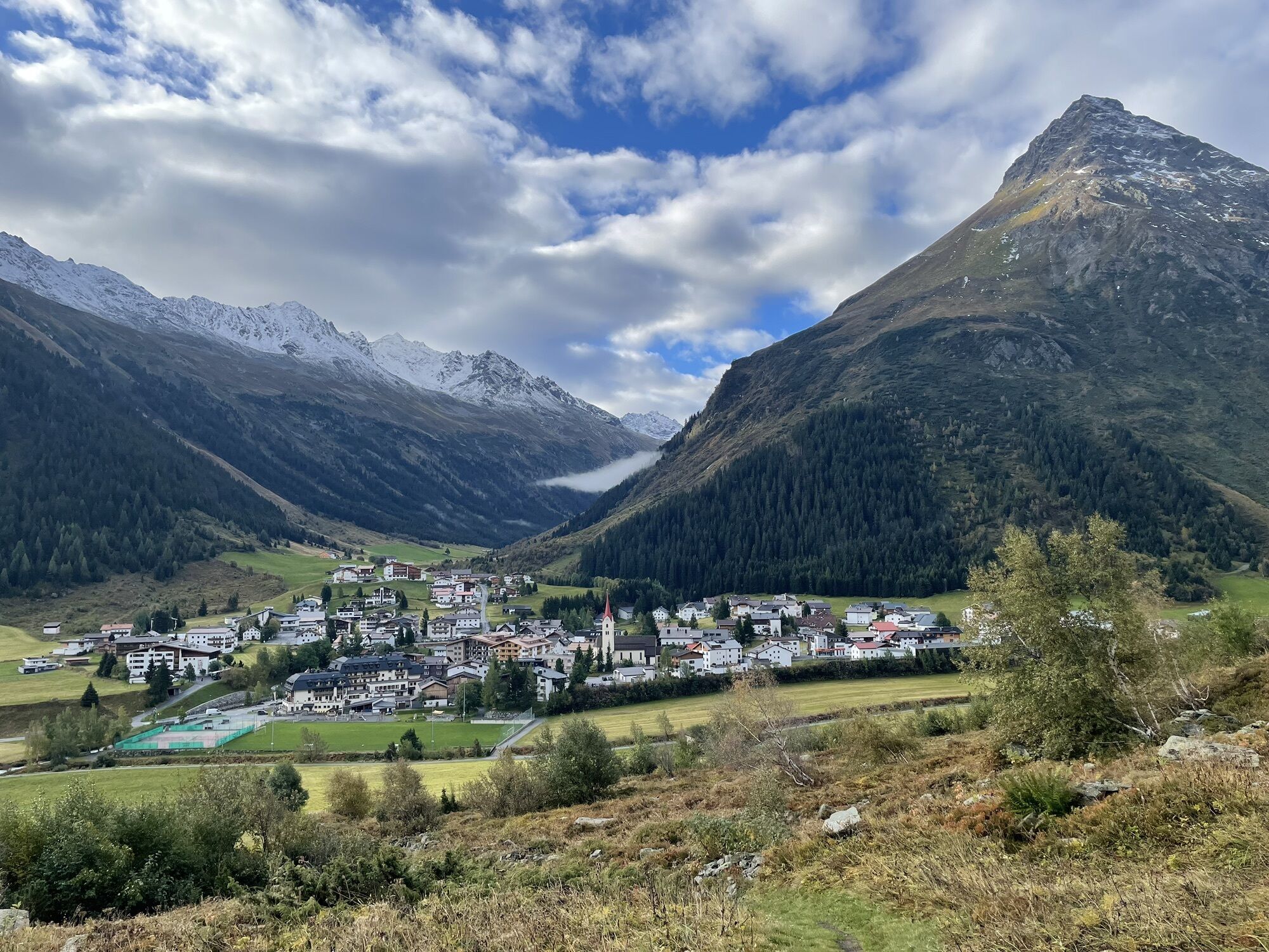
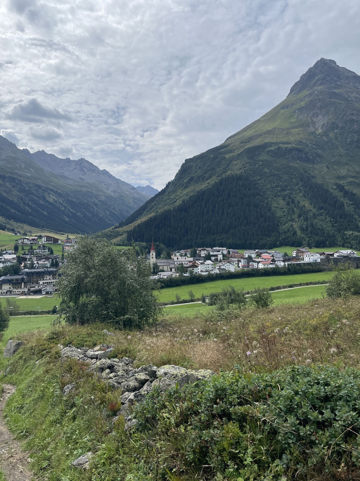
Starting from the village square in Galtür cross the bridge at Vermuntbach. Then followthe path heading uphill, to the left until the fork in the road with signposts for Sonnenkogel. From here the hike continues on narrow meadowpaths up to the Sonnenkogel, which promises a wonderful view to the south into Jamtal, which has the Jamtal glacier, along with the Hinteren (3,156 m) and Vorderen Jamspitze (3,178 m). In the south west giant impressive mountains above Galtür come into view, such as Ballunspitze (2,671m), Valülla (2,813 m) and Gorfenspitze (2,558m). Return section: Same route for the returnleg. Alternative: Descent to Tschaffein and continue along the valley hiking trail to Galtür.


TVB Paznaun-Ischgl Infobüro Galtür
With the bus to Galtür village square. By car to Galtür center, close to the village square to the parking place Arzthaus
Parking place Arzthaus


Rutas populares en los alrededores
-
4,8
Hiking trail Piz Buin - view
medioSenderismo 14,4 km -
4,8
Heilbronner lodge
medioSenderismo 13,0 km -
4,4
St Anton zur Darmstädter Hütte
pesadoMountainbike 28,4 km -
5,0
Menta Alm - Scheibenalm
luzSenderismo 11,4 km -
2,8
Bielerhöhe and circular hike around the Silvretta reservoir
medioSenderismo 13,1 km -
4,7
Jamtal lodge
medioSenderismo 19,6 km -
5,0
Lago Wiegensee - Lago Kops
medioSenderismo 8,17 km -
4,4
Vom Kopssee zur Breitspitze Gemeinde Gaschurn, Vorarlberg/Österreich
medioSenderismo 12,5 km -
5,0
Großer Piz Buin (3.312m), Normalweg 2019 über Ochsentaler Gletscher
pesadoExcursión de alta montaña 24,1 km -
4,3
Sonnenkogel - Friedrichshafener lodge
medioSenderismo 13,2 km
Senderismo y rastreo


No se pierda las ofertas y la inspiración para sus próximas vacaciones
Su dirección de correo electrónico se ha añadido a la lista de correo.