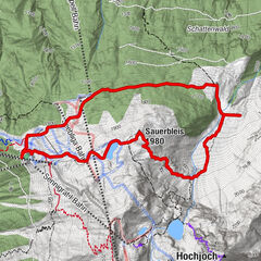
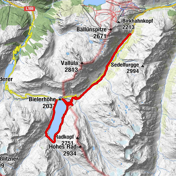
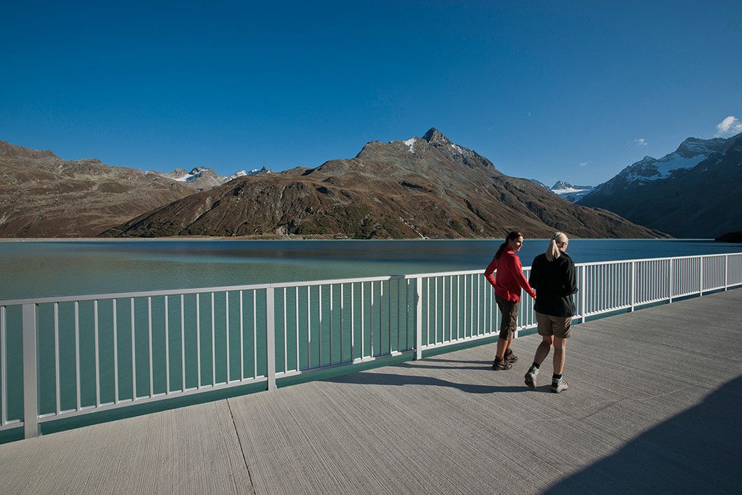
Bielerhöhe and circular hike around the Silvretta reservoir

Senderismo
Datos del tour
13,09km
1.725
- 2.085m
395hm
110hm
04:00h
- Breve descripción
-
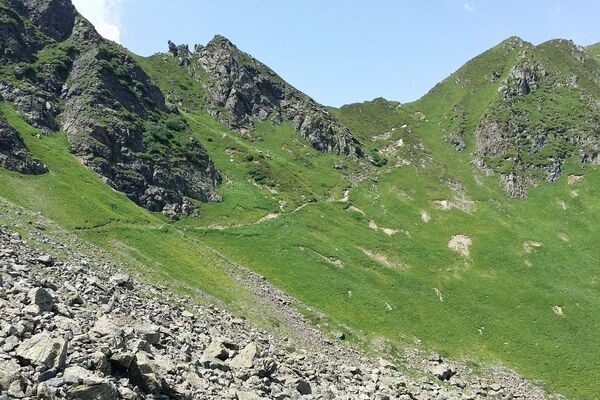
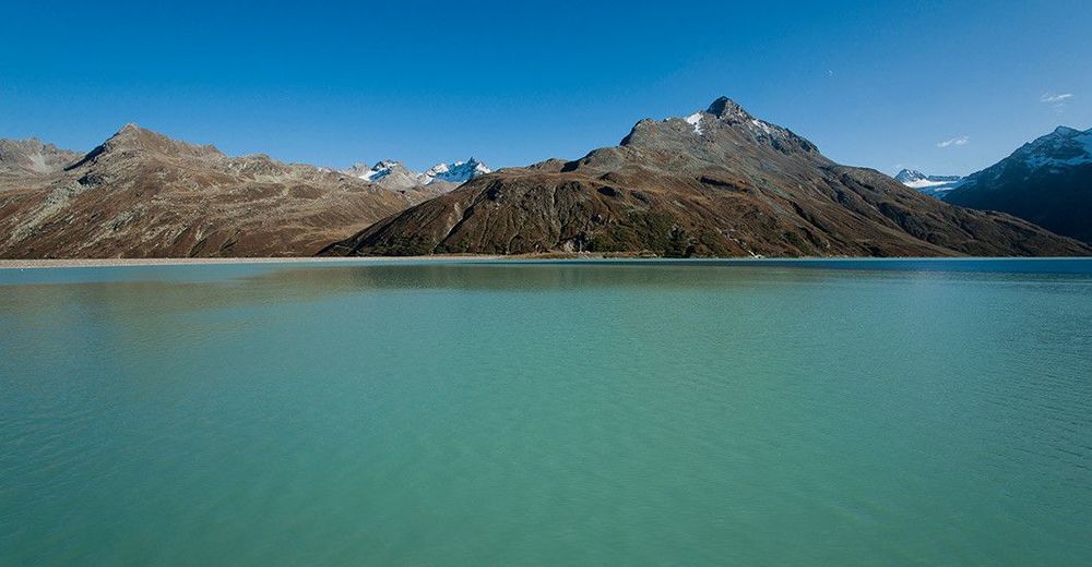
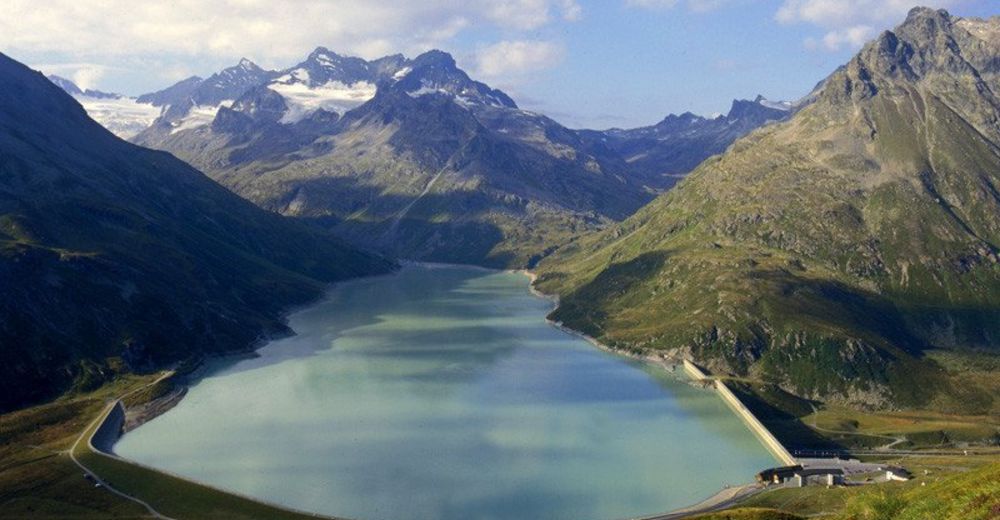
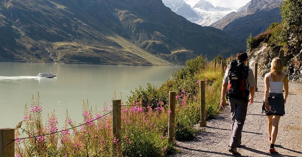
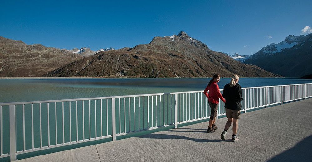
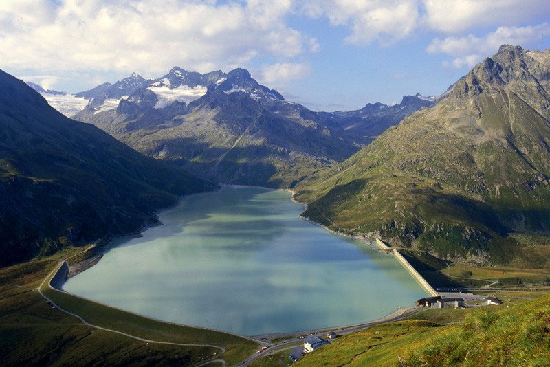
Wonderful scenery in Vermunt valley with mountain lakes and alpine pastures, Silvretta reservoir with fantastic panoramic view to the famous and majestic Piz Buin.
- Dificultad
-
medio
- Valoración
-
- Punto de salida
-
Toll station Galtür Silvrettahochalpenstraße
- Ruta
-
Restaurant Silvrettasee13,1 km
- Punto álgido
- 2.085 m
- Descanso/Avituallamiento
-
Gasthof Piz Buin, Seerestaurant
- Material cartográfico
-
TVB Galtür


GPS Downloads


Superficie de carretera
Asfalto
Gravilla
Pradera
Bosque
Roca
Expuesto