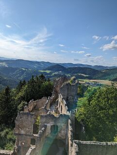
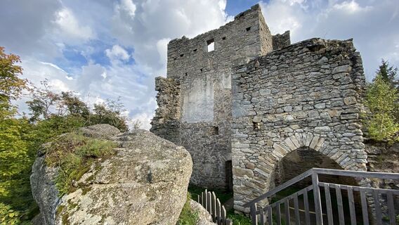
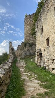
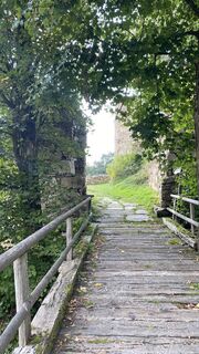
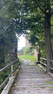
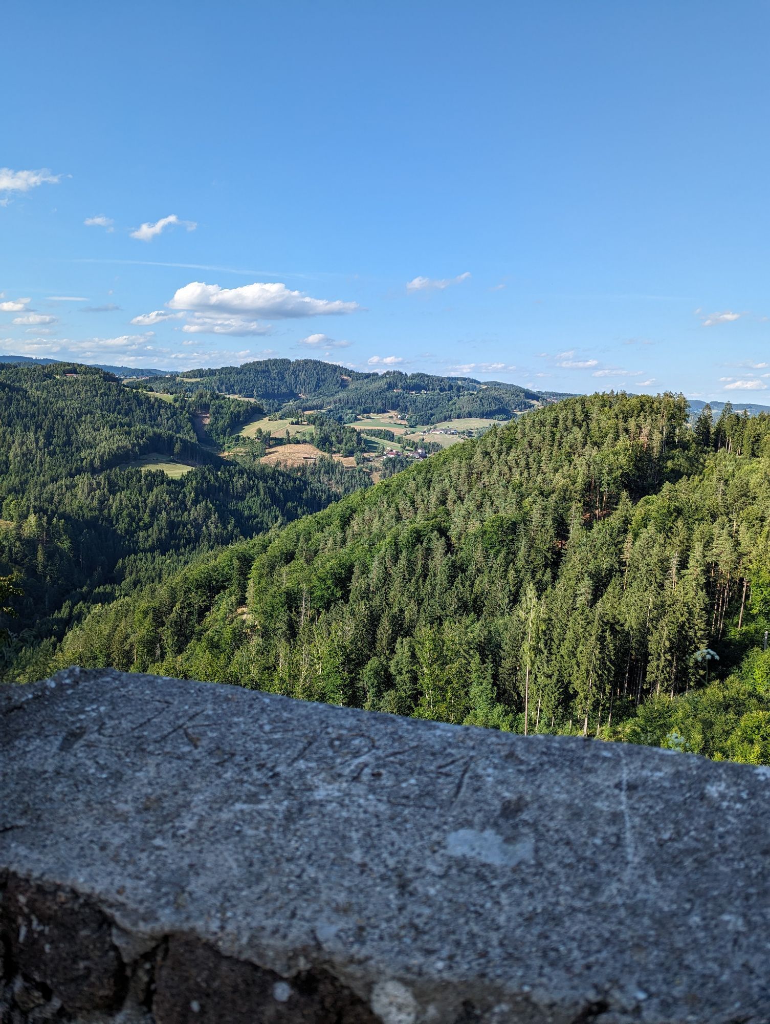
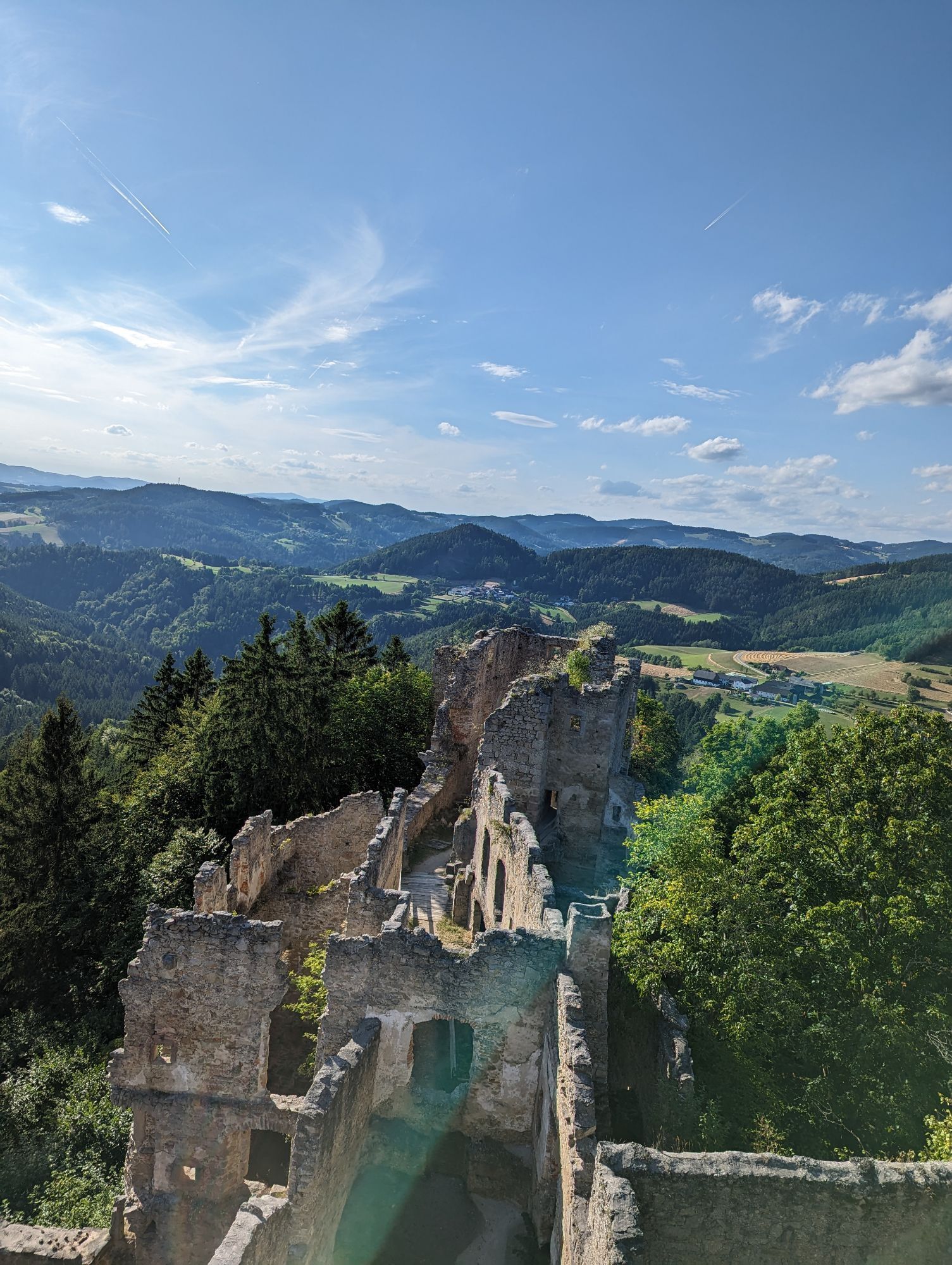
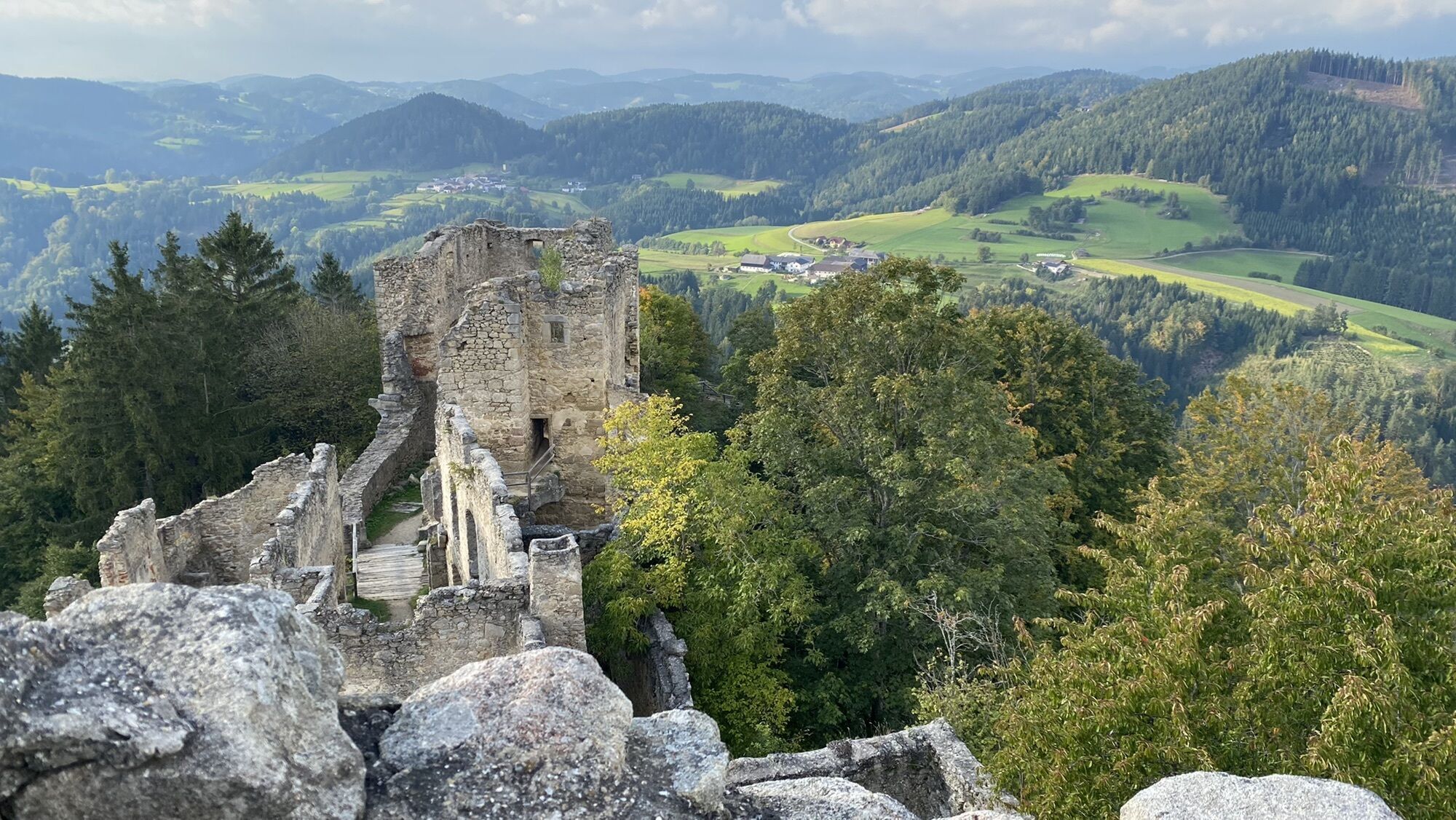
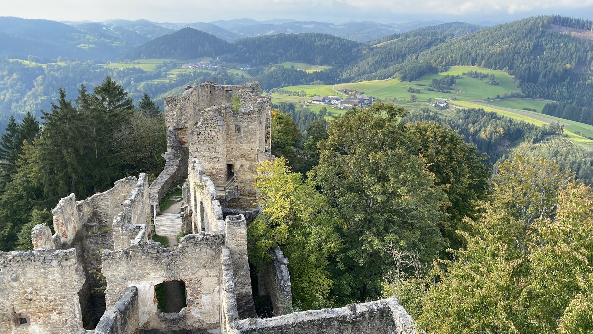
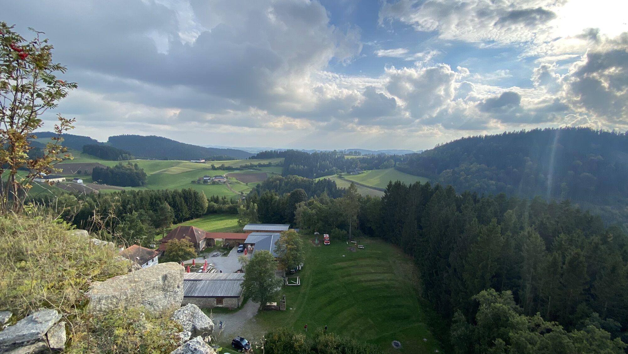
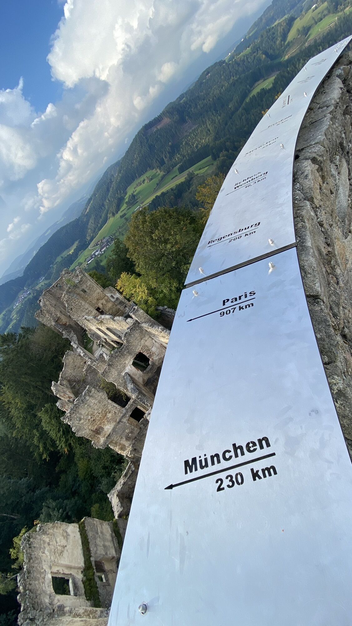
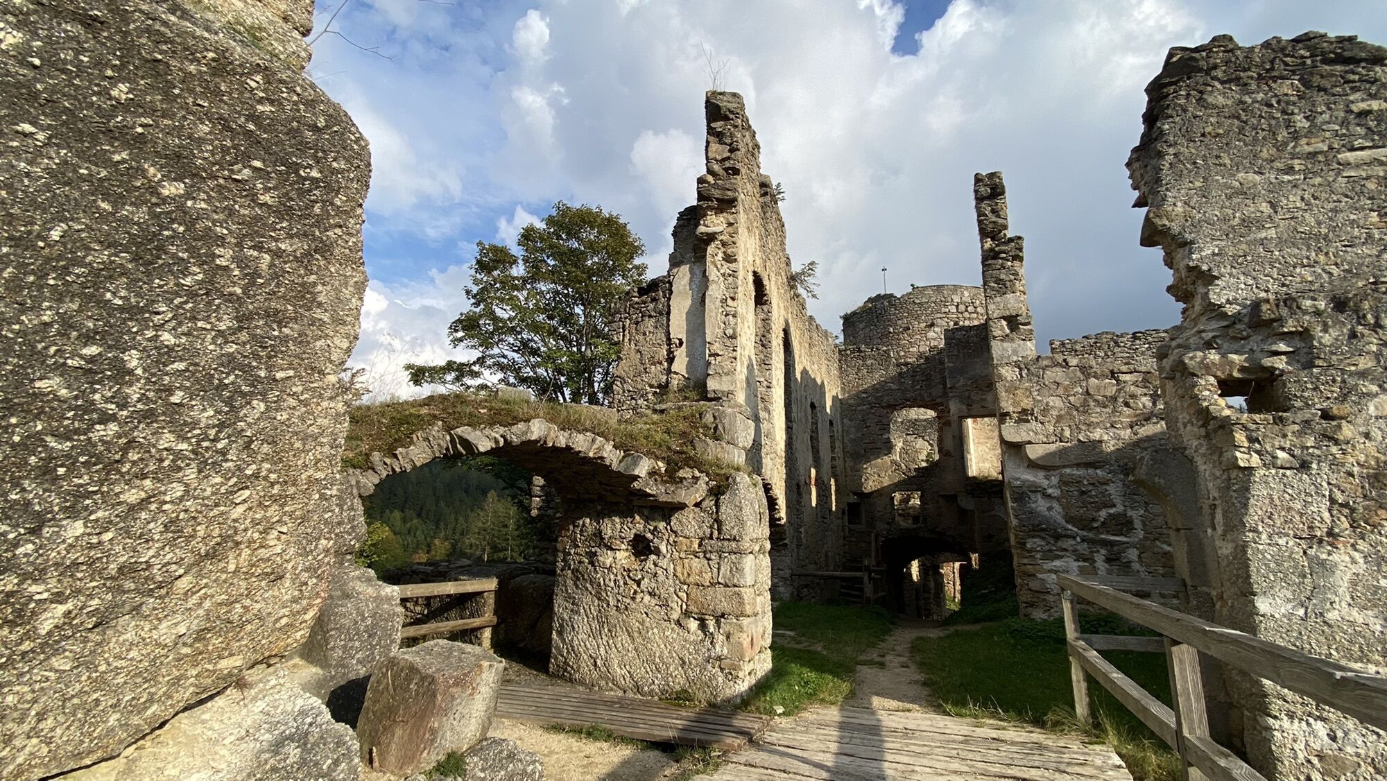
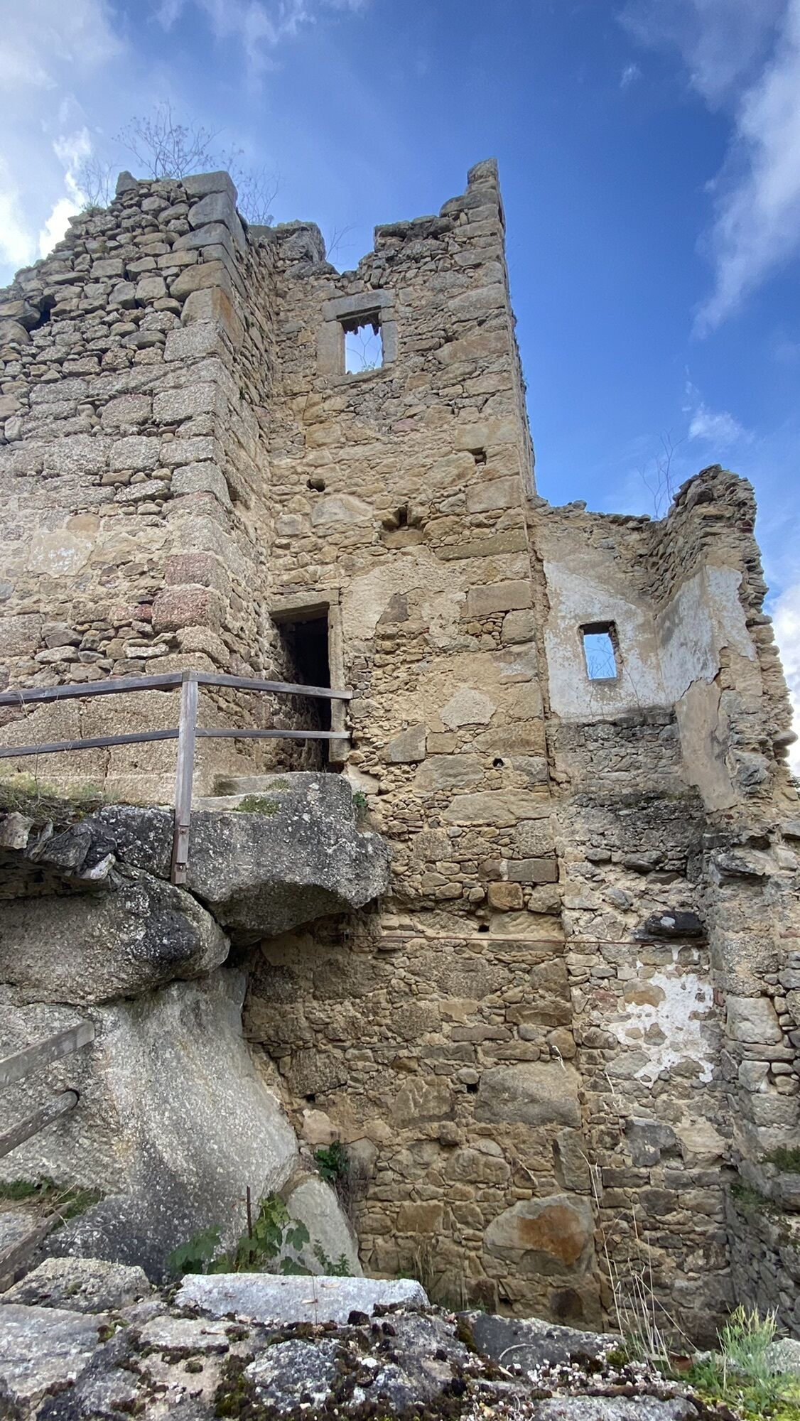
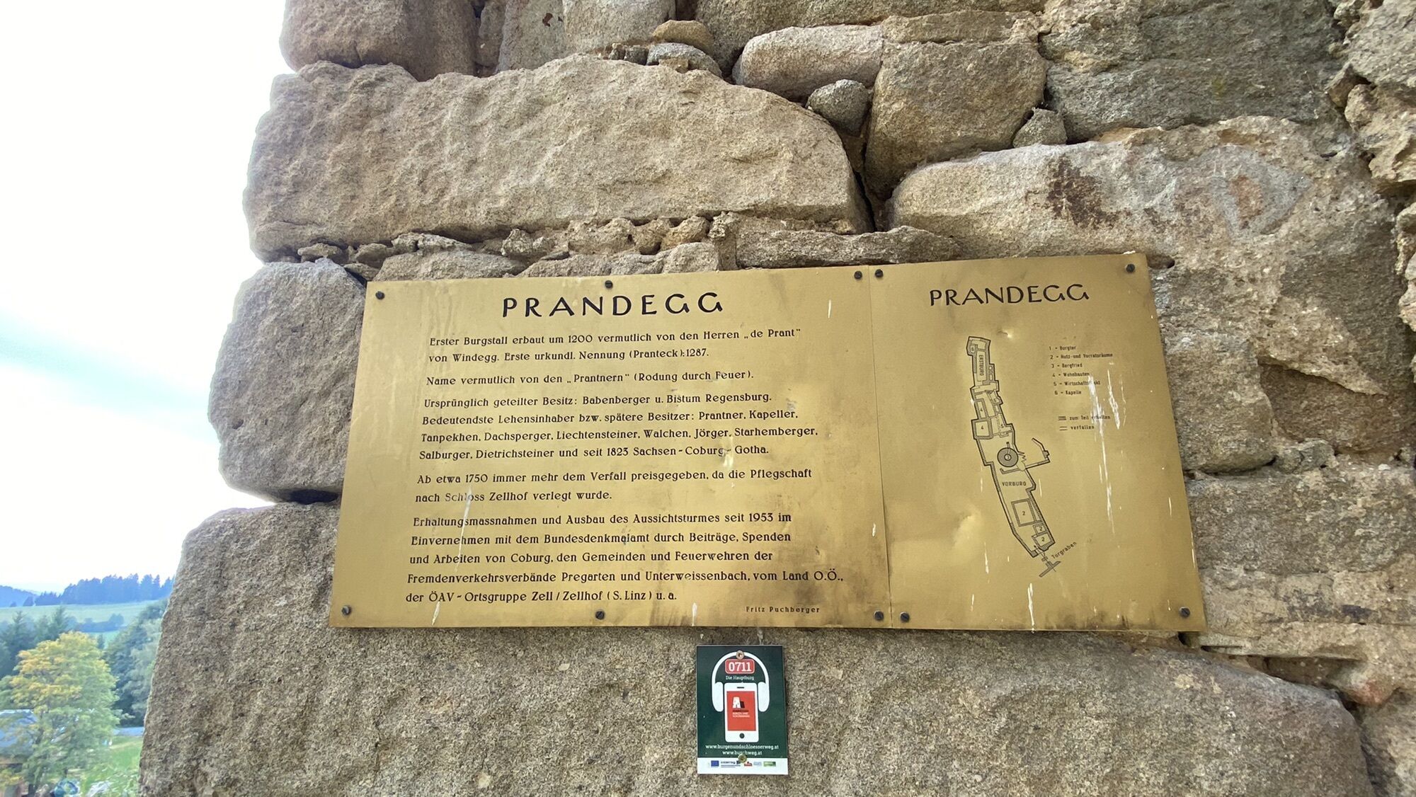
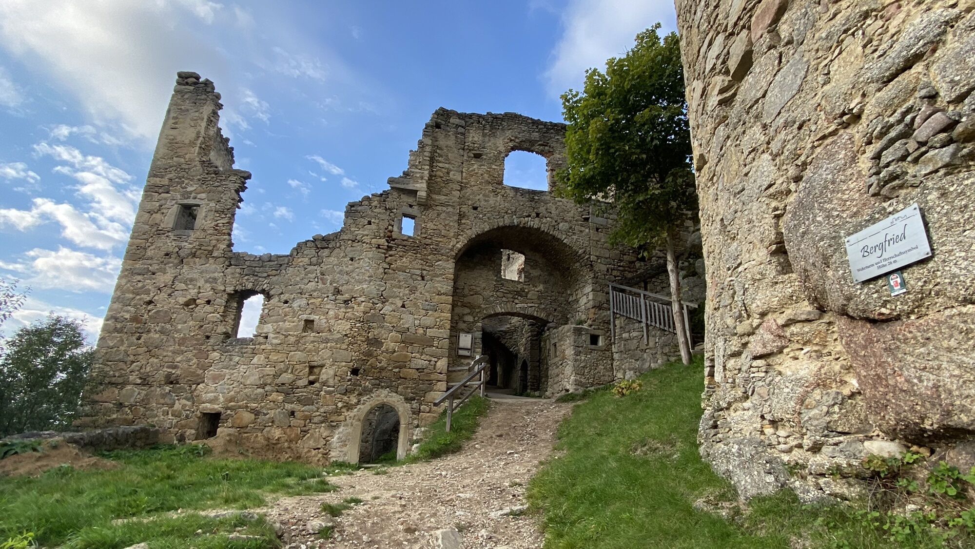
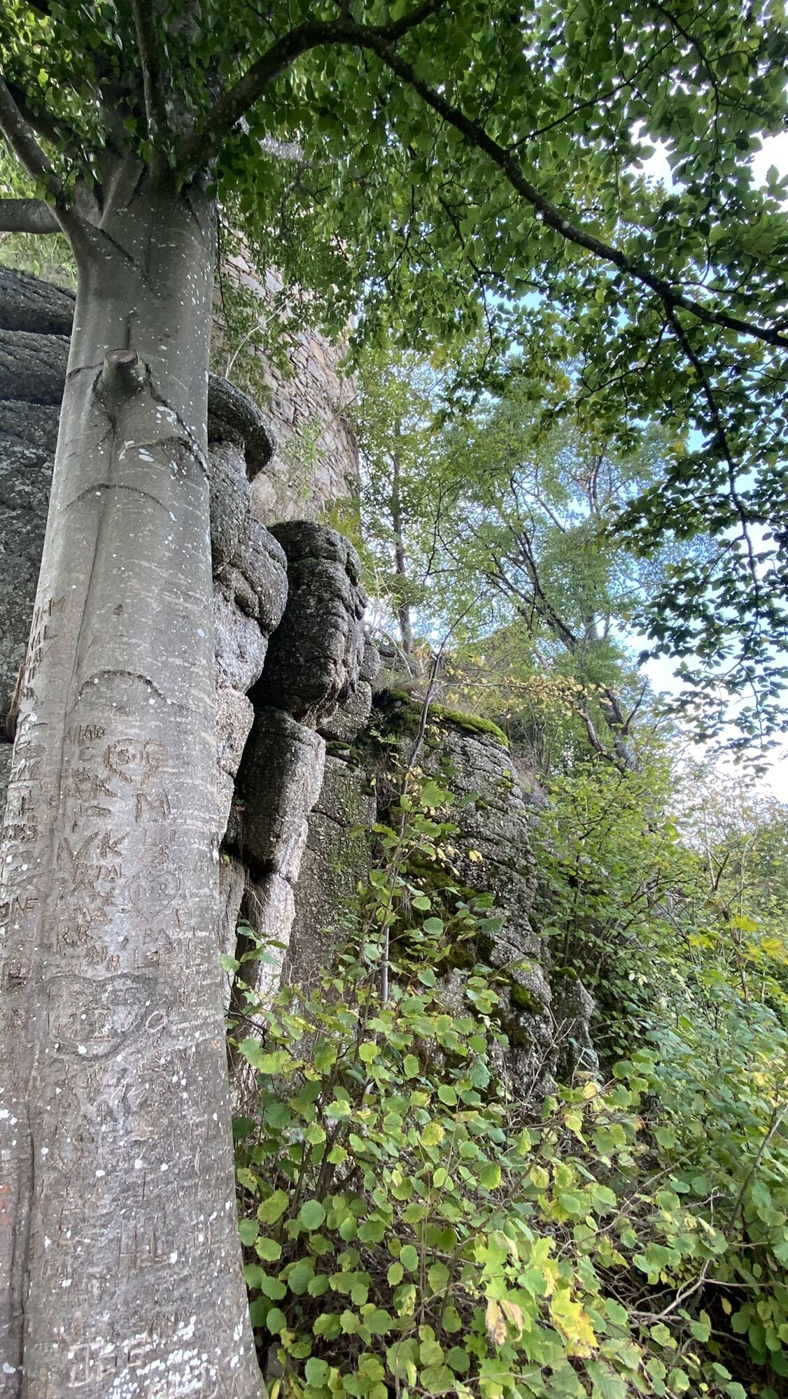
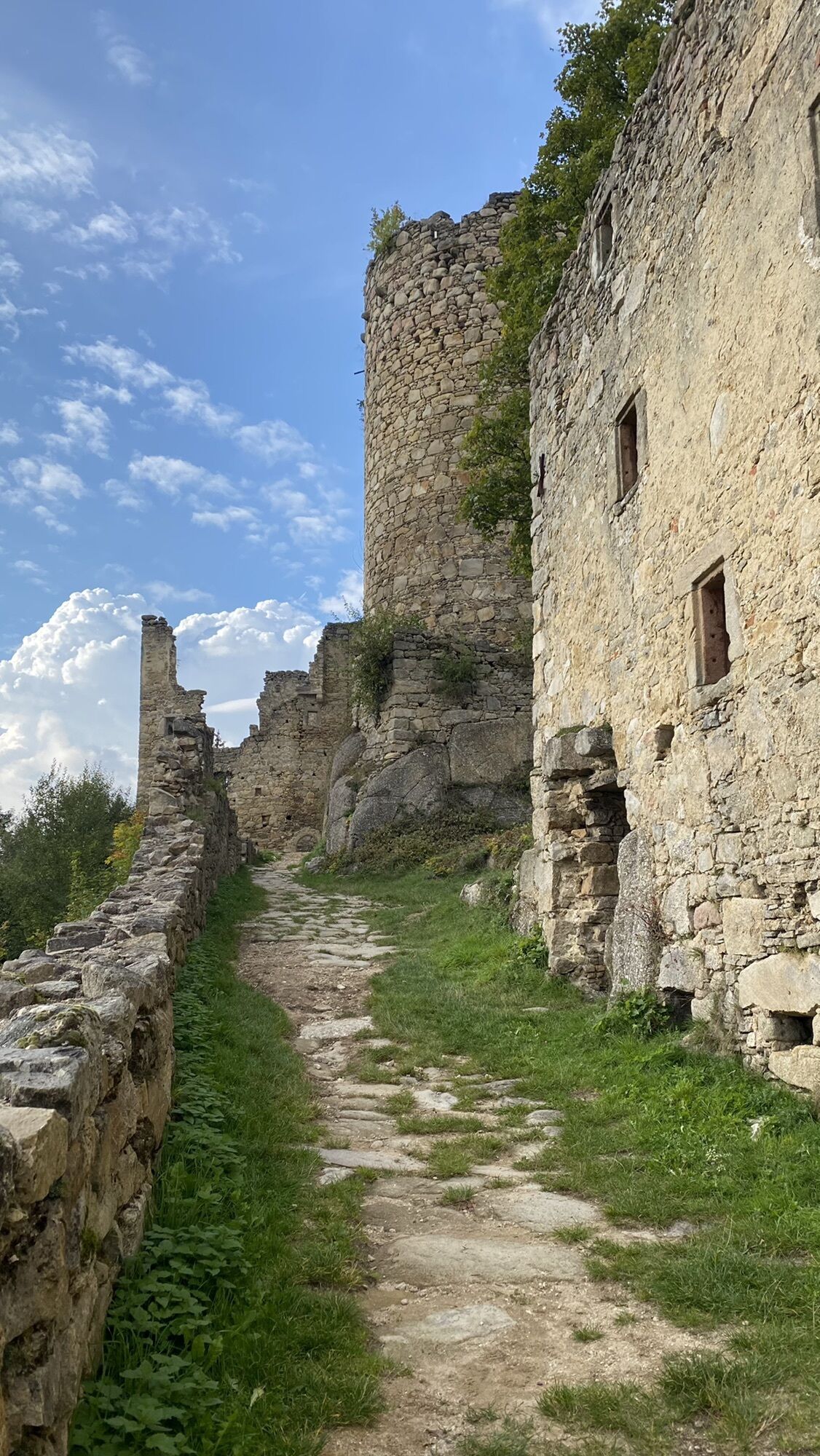
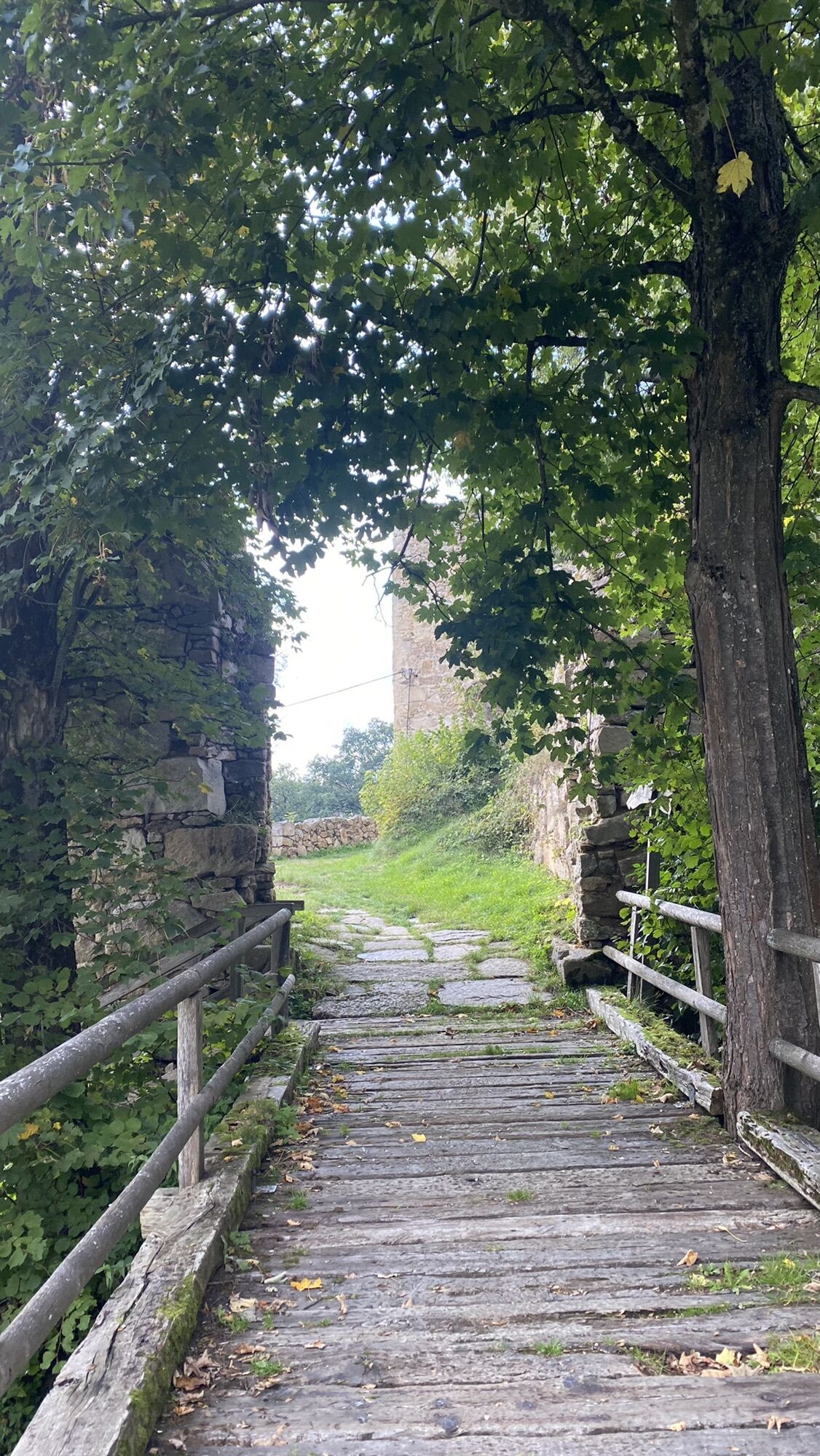
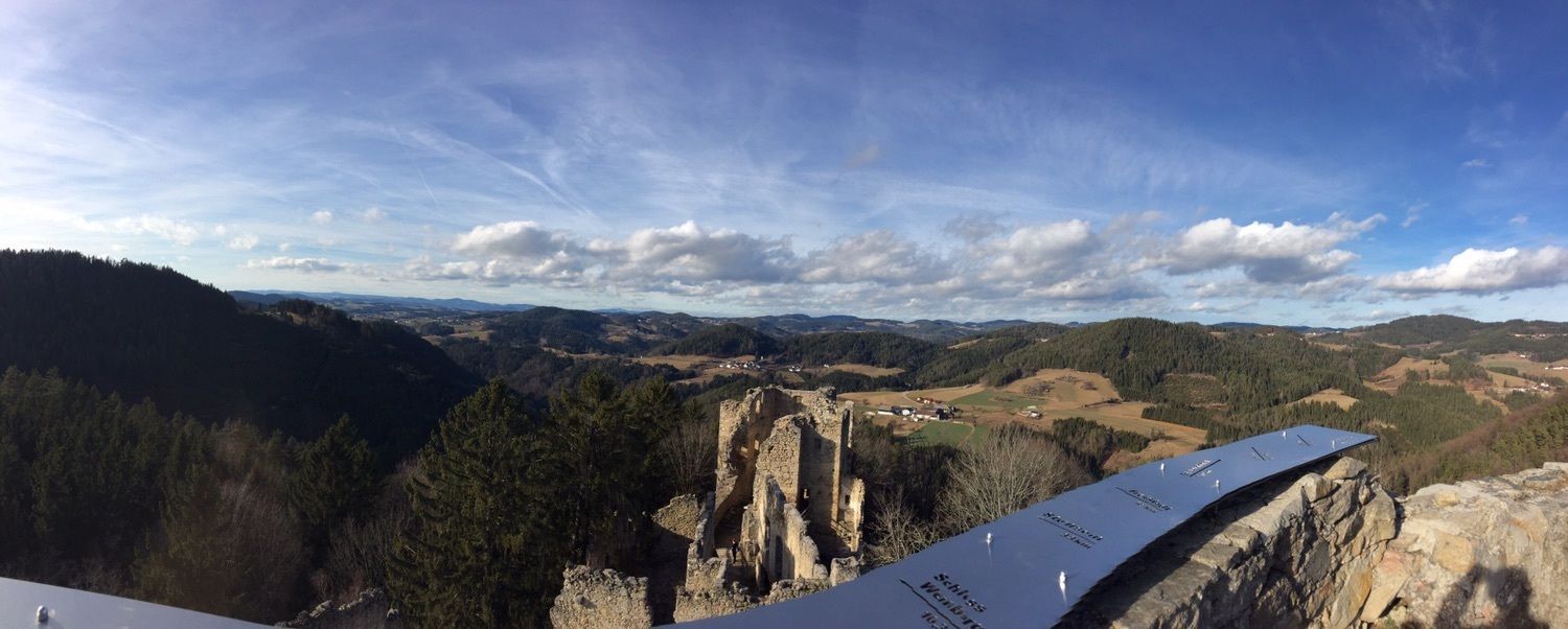
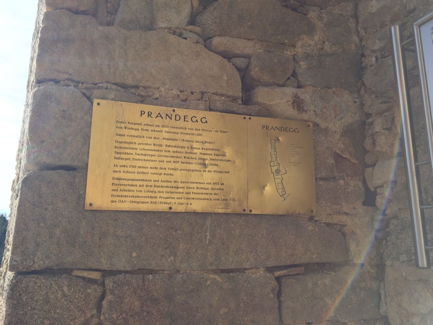
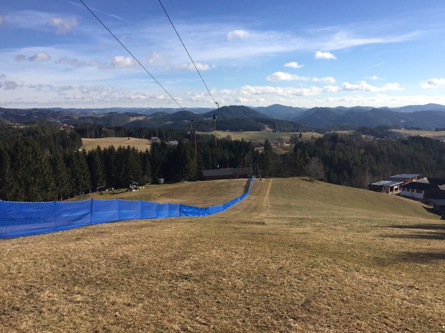
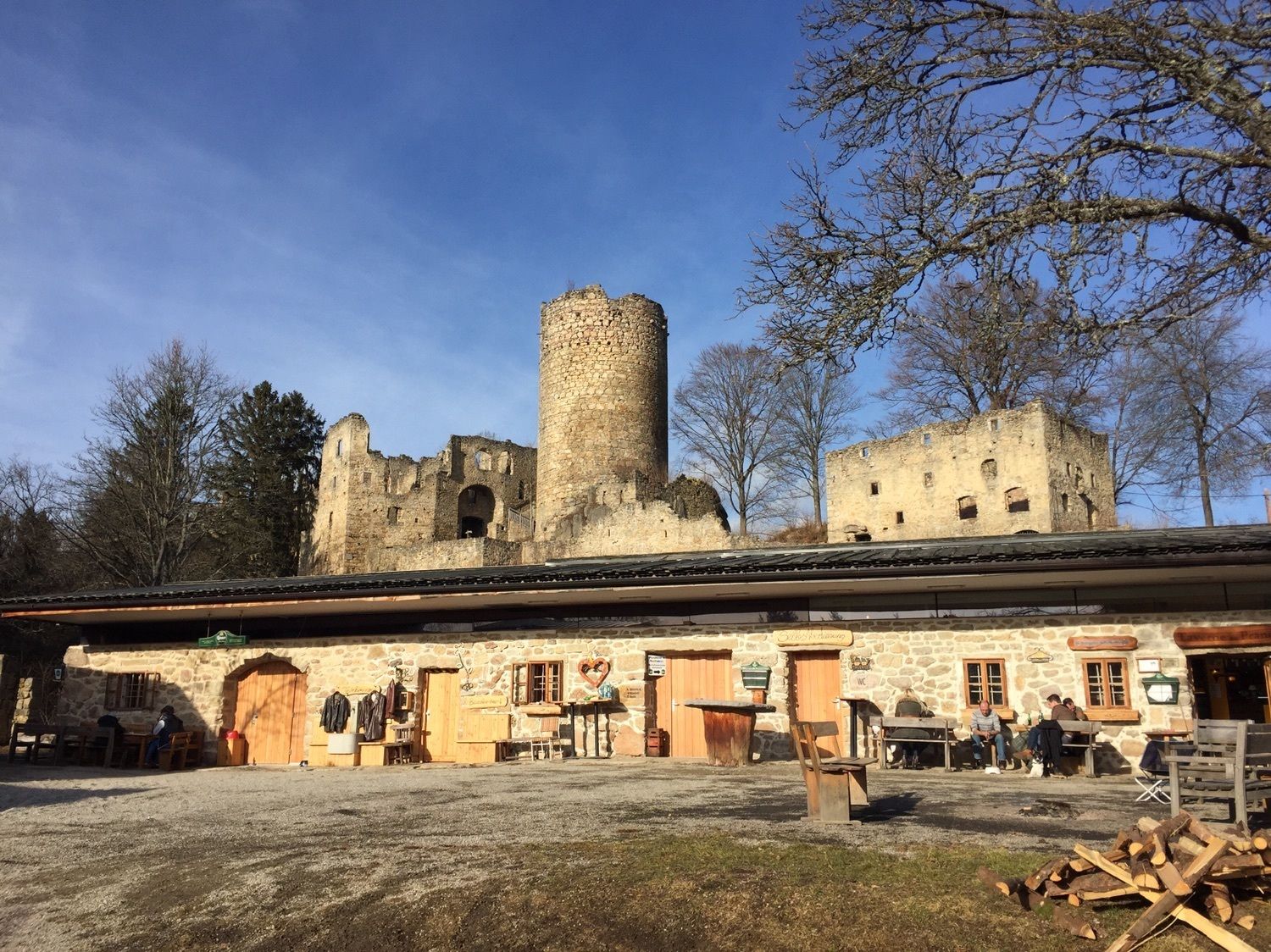
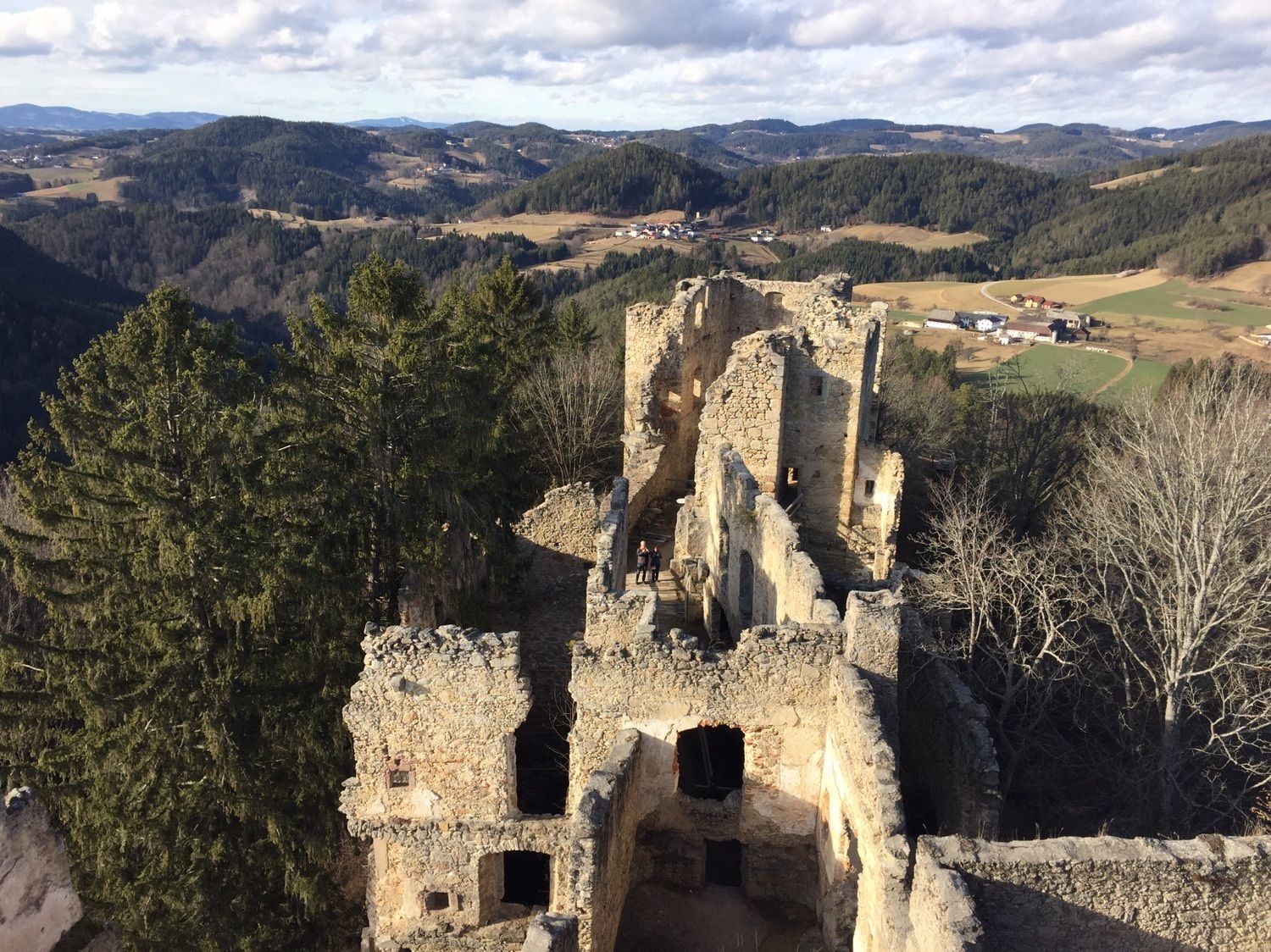
Ruine Prandegg
medio
Navegue por
Navegue por
Consigue este tour en tu móvil
Ruine Prandegg
medio
Senderismo
15,58
km
Escanee el código QR e inicie la navegación en la aplicación bergfex

Senderismo y rastreo


Ruine Prandegg
medio
Distancia
15,58
km
Duración
03:43
h
Ascenso
483
m
Nivel del mar
615 -
839
m
Descarga de pistas
Ruine Prandegg
medio
Senderismo
15,58
km
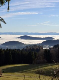
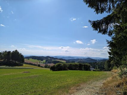
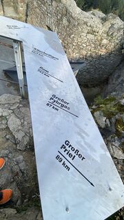
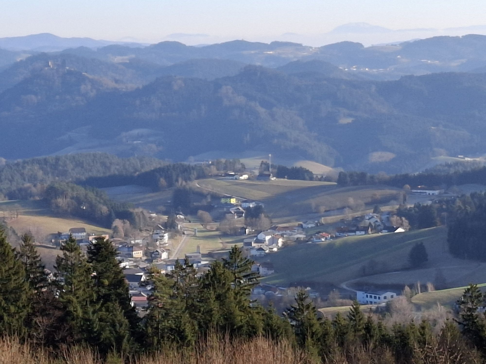
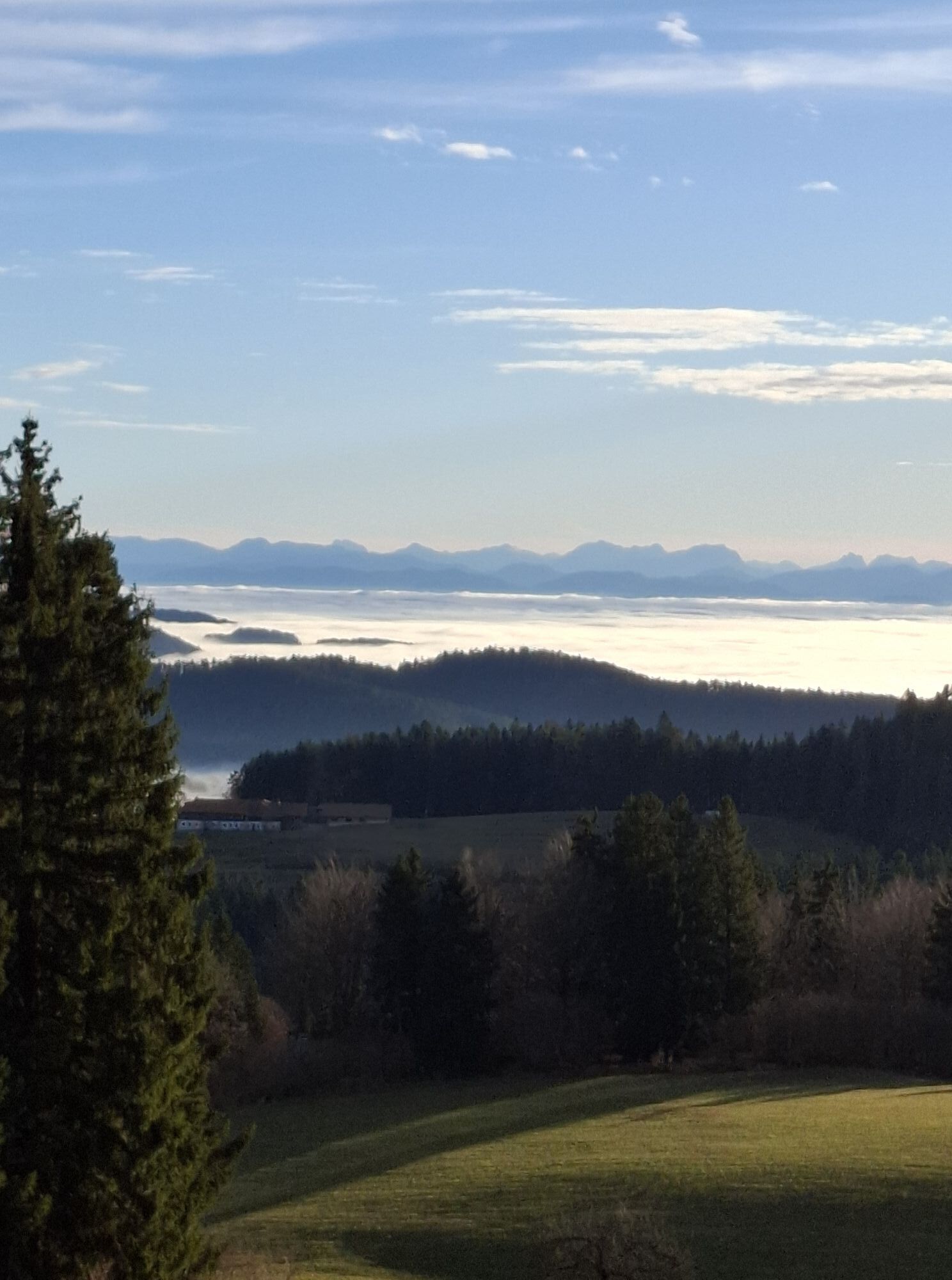
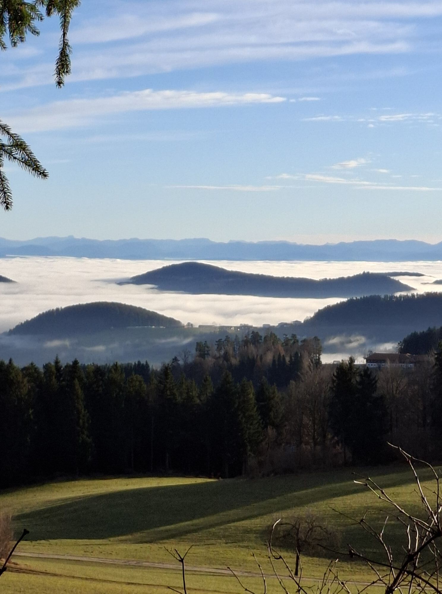
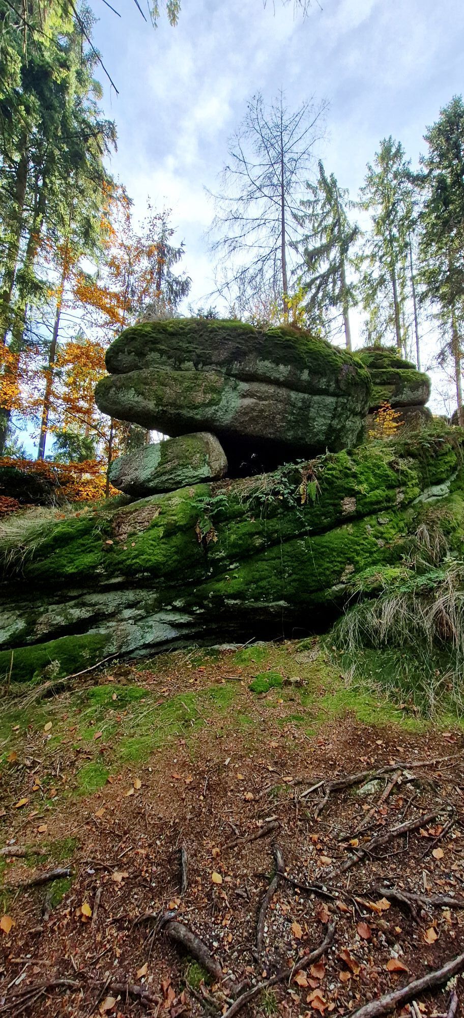
Fotos de nuestros usuarios
-

 © Josef KlingerCreado el 22.12.2025
 -
 © Josef KlingerCreado el 20.12.2025
 -
 © Josef KlingerCreado el 20.12.2025
 -

 © SandyCreado el 01.11.2025
 -
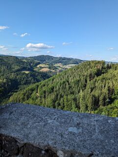
 © Ziegler Em1304Creado el 31.07.2023
 -
 © Ziegler Em1304Creado el 31.07.2023
 -
 © Ziegler Em1304Creado el 31.07.2023
 -
 © Ziegler Em1304Creado el 31.07.2023
 -
 © Harald Dauwa-StummerCreado el 25.09.2022
 -
 © Harald Dauwa-StummerCreado el 25.09.2022
 -
 © Harald Dauwa-StummerCreado el 25.09.2022
 -
 © Harald Dauwa-StummerCreado el 25.09.2022
 -
 © Harald Dauwa-StummerCreado el 25.09.2022
 -
 © Harald Dauwa-StummerCreado el 25.09.2022
 -
 © Harald Dauwa-StummerCreado el 25.09.2022
 -
 © Harald Dauwa-StummerCreado el 25.09.2022
 -
 © Harald Dauwa-StummerCreado el 25.09.2022
 -
 © Harald Dauwa-StummerCreado el 25.09.2022
 -
 © Harald Dauwa-StummerCreado el 25.09.2022
 -
 © Harald Dauwa-StummerCreado el 25.09.2022
 -
 © Harald Dauwa-StummerCreado el 25.09.2022
 -
 © Harald Dauwa-StummerCreado el 25.09.2022
 -
 © Harald Dauwa-StummerCreado el 25.09.2022
 -
 © Harald Dauwa-StummerCreado el 25.09.2022


Ruta
Jakobuskirche
(634 m)
Lugar de culto
0,5 km
Schönau im Mühlkreis
(631 m)
Pueblo
0,5 km
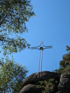
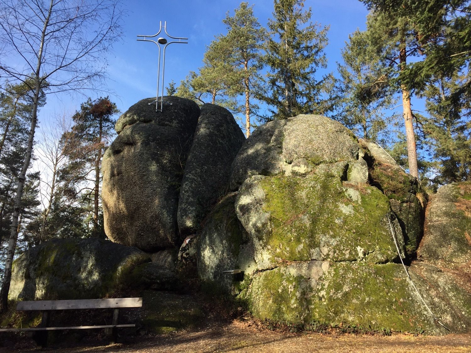
Herrgottsitz
(855 m)
Cumbre
3,1 km
Kollnedt
(687 m)
Liquidación
5,6 km
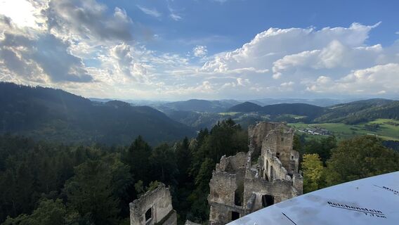
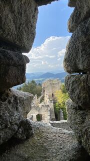
Burgruine Prandegg
(726 m)
Punto de vista
8,0 km
Taverne
(707 m)
Restaurante
8,3 km
Jakobuskirche
(634 m)
Lugar de culto
15,2 km
Ruta
Ruine Prandegg
medio
Senderismo
15,58
km
Jakobuskirche
(634 m)
Lugar de culto
0,5 km
Schönau im Mühlkreis
(631 m)
Pueblo
0,5 km
Stoaninger Alm
(719 m)
Restaurante
2,0 km
Herrgottsitz
(855 m)
Cumbre
3,1 km
Kollnedt
(687 m)
Liquidación
5,6 km
Burgruine Prandegg
(726 m)
Punto de vista
8,0 km
Taverne
(707 m)
Restaurante
8,3 km
Schönau im Mühlkreis
(631 m)
Pueblo
15,2 km
Jakobuskirche
(634 m)
Lugar de culto
15,2 km

Error
Se ha producido un error. Por favor, inténtelo de nuevo.

Último seguimiento
3 hace semanas
Valoraciones
Actividades a lo largo del recorrido


Rutas populares en los alrededores
-
4,4
Der Naturparkweg in Rechberg
medioSenderismo 7,54 km -
4,8
Tragwein - Lebensquell-Runde
luzSenderismo 12,8 km -
4,6
3Gipfelweg 07 mit Klimaanpassungsthemen
medioSenderismo 21,3 km -
4,6
Aisttalrundweg + P6
luzSenderismo 9,36 km -
4,3
Wartberg Ob der Aist, Natura Aist Trail Rundwanderung
luzSenderismo 8,37 km -
4,6
Die Blasenstein-Runde, Oberösterreich
medioSenderismo 11,8 km -
4,0
Wanderung Kefermarkt Buchberg
luzSenderismo 8,33 km -
4,1
Ruine Ruttenstein
luzSenderismo 12 km -
3,8
Brandtnerhöhe - Waltersberg Runde
luzSenderismo 9 km -
4,4
Pregarten Hagenberg
luzSenderismo 9,25 km
Senderismo y rastreo

Más de 550.000 sugerencias de excursiones, mapas detallados y un intuitivo planificador de rutas hacen de esta aplicación una herramienta imprescindible para todos los amantes de la naturaleza.

No se pierda las ofertas y la inspiración para sus próximas vacaciones
Suscribirse al boletín de noticias
Error
Se ha producido un error. Por favor, inténtelo de nuevo.
Gracias por inscribirse
Su dirección de correo electrónico se ha añadido a la lista de correo.
Viajes por Europa
Austria
Suiza
Alemania
Italia
Eslovenia
Francia
Países Bajos
Belgium
Polonia
Liechtenstein
República Checa
Slovakia
España
Croacia
Bosnia y Herzegovina
Luxemburgo
Andorra
Portugal
Iceland
United Kingdom
Ireland
Greece
Albania
North Macedonia
Malta
Norway
Montenegro
Moldova
Kosovo
Hungary
San Marino
Romania
Estonia
Latvia
Belarus
Cyprus
Lithuania
Serbia
Bulgaria
Monaco
Denmark
Sweden
Finland