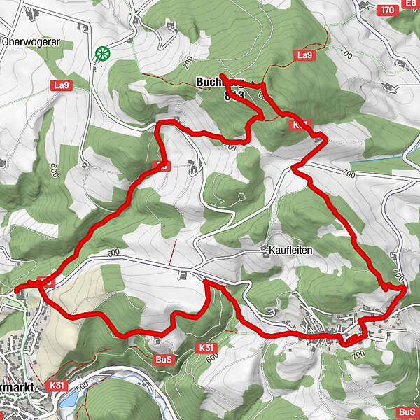
Datos del tour
8,33km
663
- 907m
247hm
242hm
03:05h
- Breve descripción
-
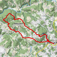
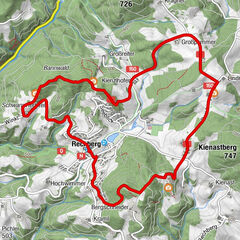
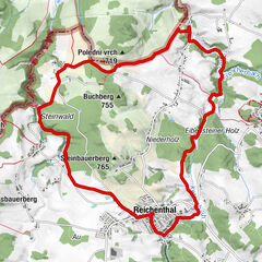
Schöne, abwechslungsreiche Rundwanderung auf den Buchberg.
- Dificultad
-
fácil
- Valoración
-
- Punto de salida
-
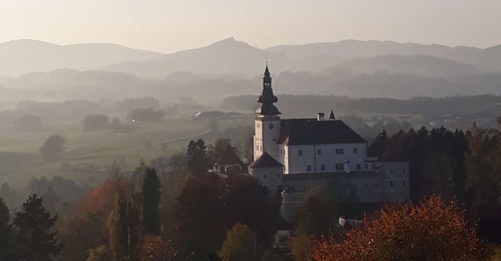
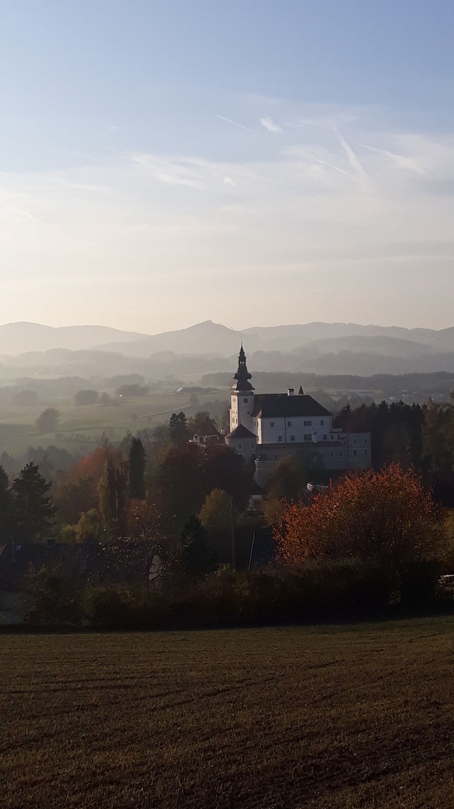
Schlossbrauerei Weinberg
- Ruta
-
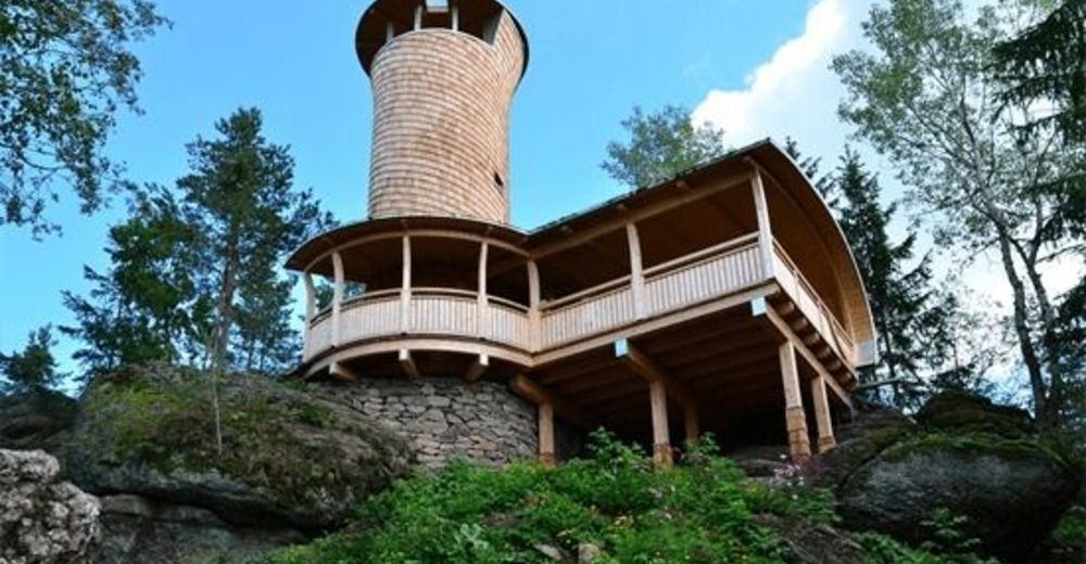
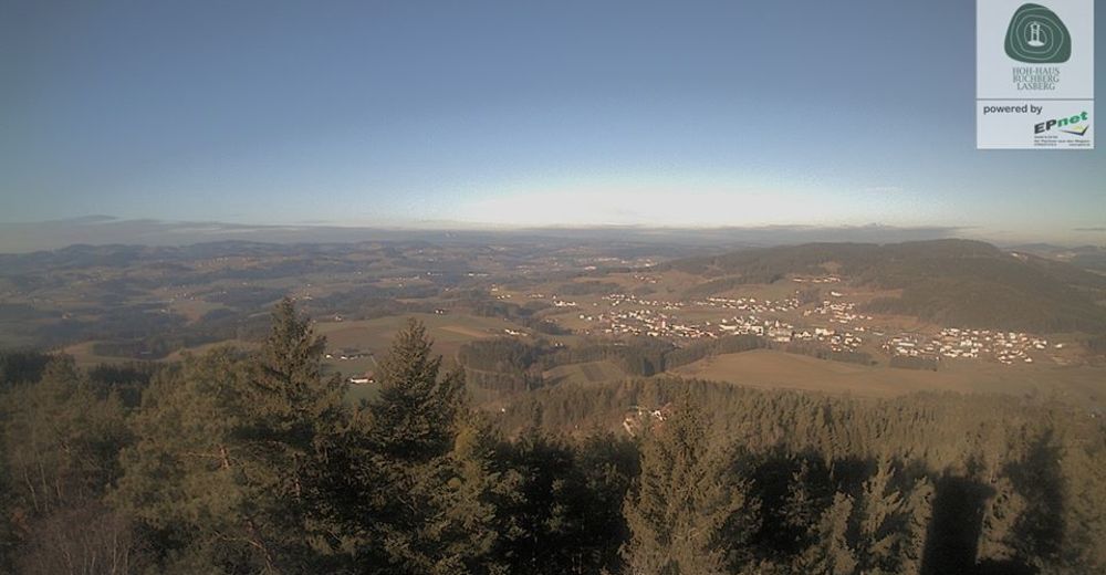
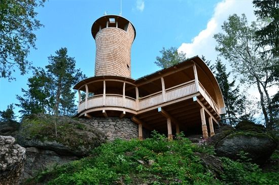
Grieb1,6 kmBuchberg Hütte2,6 kmBuchberg (813 m)2,9 kmElzer Stubn5,5 kmElz5,8 km
- La mejor temporada
-
enefebmarabrmayjunjulagosepoctnovdic
- Punto álgido
- 907 m
- Punto final
-
Schlossbrauerei Weinberg
- Descanso/Avituallamiento
-
Hütte am Buchberg, Elzer Stub´n

GPS Downloads


Superficie de carretera
Asfalto
(10% / 0,8)
Gravilla
(40% / 3,2)
Pradera
Bosque
(50% / 4)
Roca
Expuesto
Más circuitos por las regiones
-
Mühlviertel
1781
-
Mühlviertler Alm Freistadt
1069
-
Kefermarkt
393