
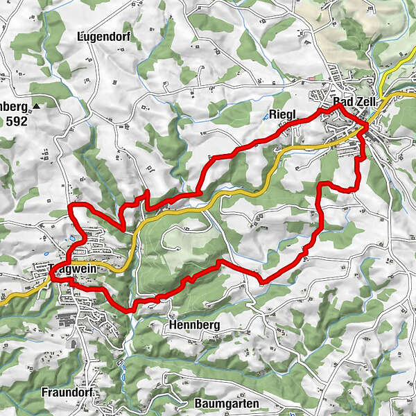
Datos del tour
12,85km
400
- 581m
301hm
298hm
03:15h
- Dificultad
-
fácil
- Valoración
-
- Punto de salida
-
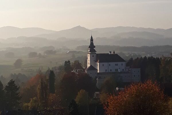
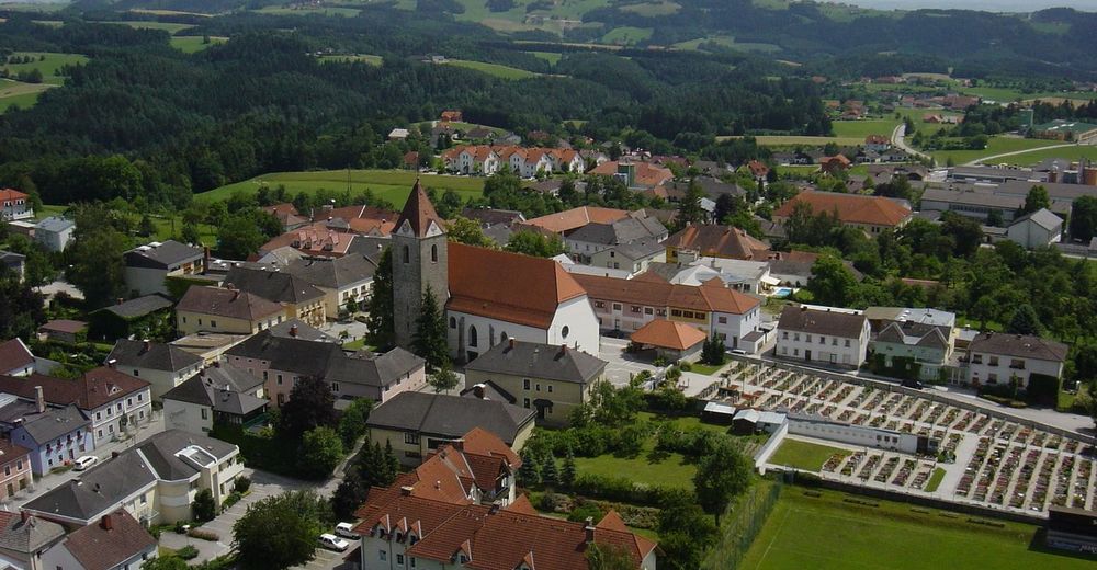
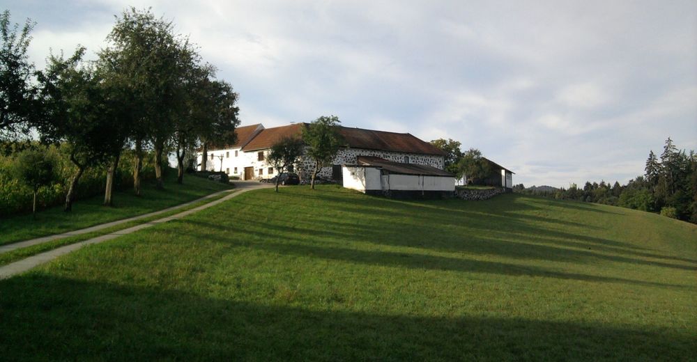
Start in Tragwein beim Quellparkplatz (Grünhilde) bzw. am Marktplatz oder in Bad Zell (Kurparkbereich) - RUNDWANDERWEG
- Ruta
-
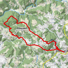
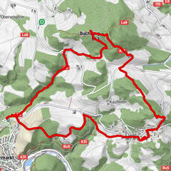
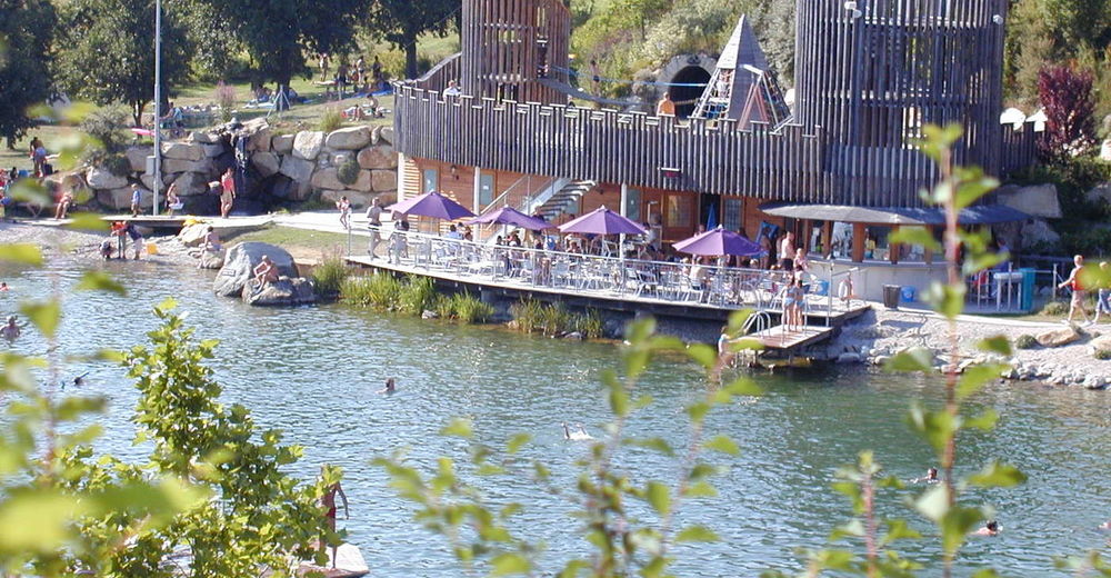
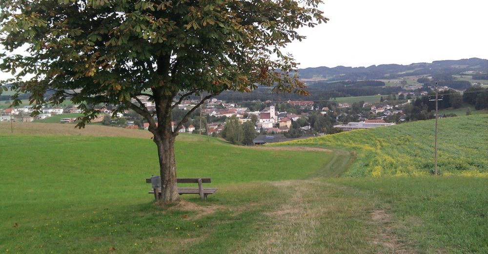
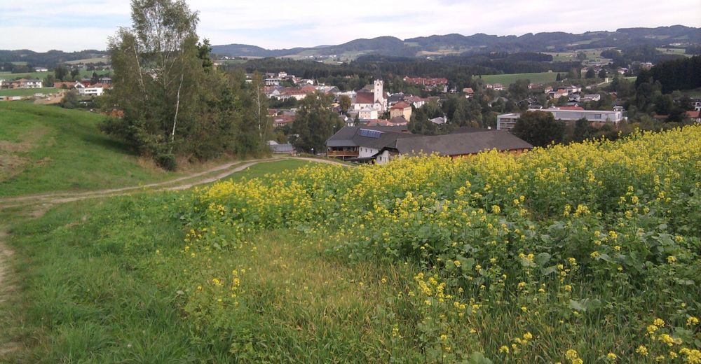
Pizzeria Bella Casa0,2 kmPfarrkirche hl. Peter und Paul0,2 kmTragwein (491 m)0,2 kmJausenstation Langebner Hütte3,4 kmBad Zell6,7 kmRiegl7,6 kmTragwein (491 m)12,3 km
- La mejor temporada
-
enefebmarabrmayjunjulagosepoctnovdic
- Punto álgido
- 581 m
- Punto final
-
Tragwein oder Bad Zell
- Descanso/Avituallamiento
-
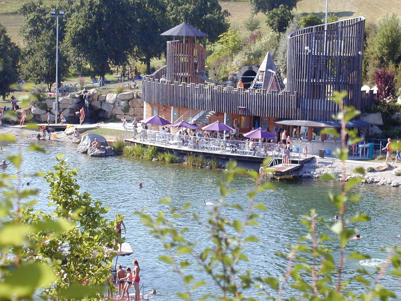
Tragwein und Bad Zell
- Material cartográfico
-
Wanderkarte Tragwein und Wanderkarte Bad Zell


GPS Downloads


Superficie de carretera
Asfalto
Gravilla
Pradera
Bosque
Roca
Expuesto
Más circuitos por las regiones
-
Mühlviertel
1781
-
Mühlviertler Alm Freistadt
1069
-
Bad Zell
334