





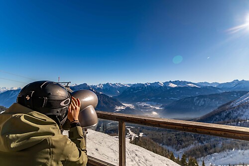
Path to "Hoher Stein" and to Möltern

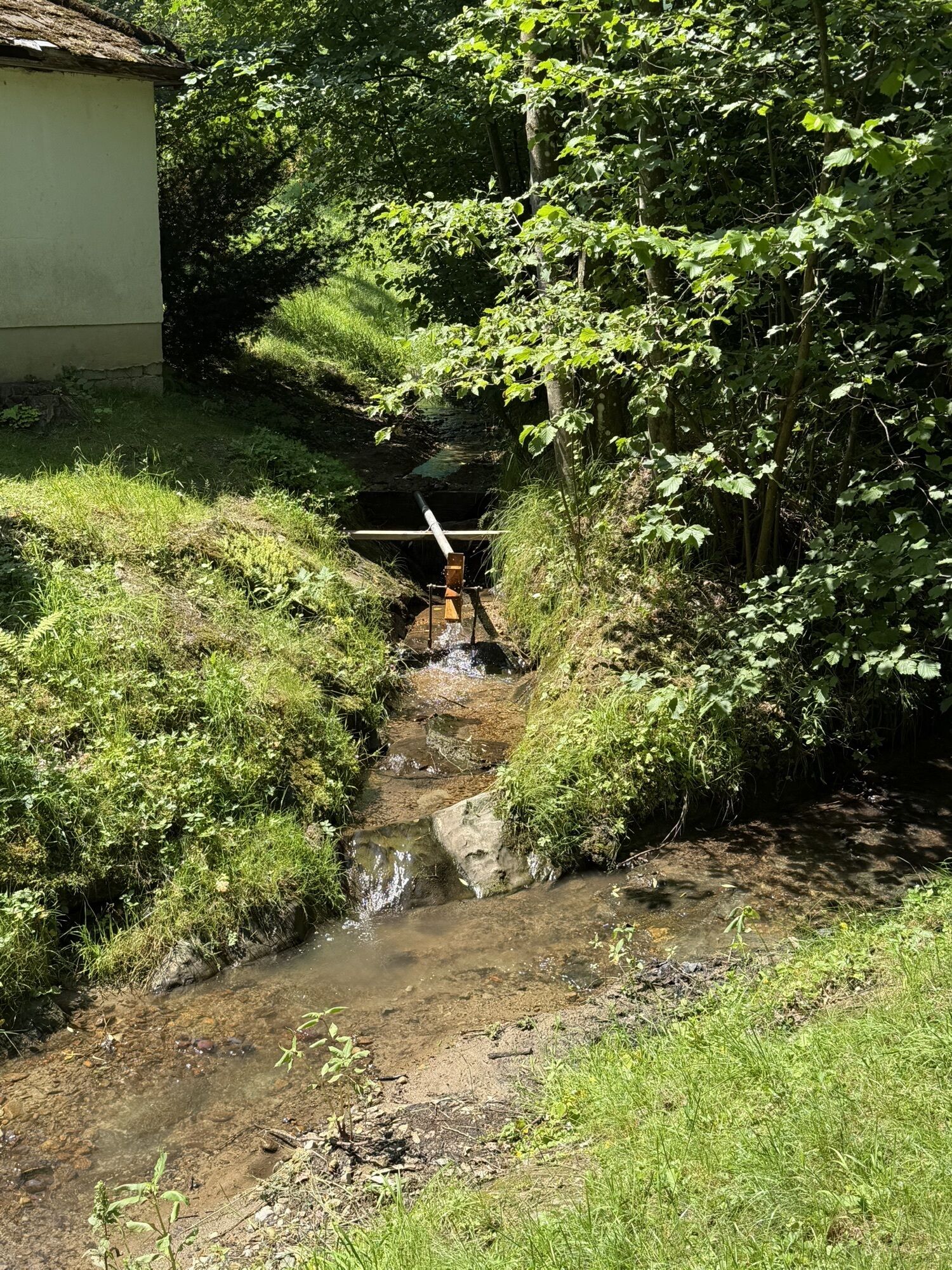
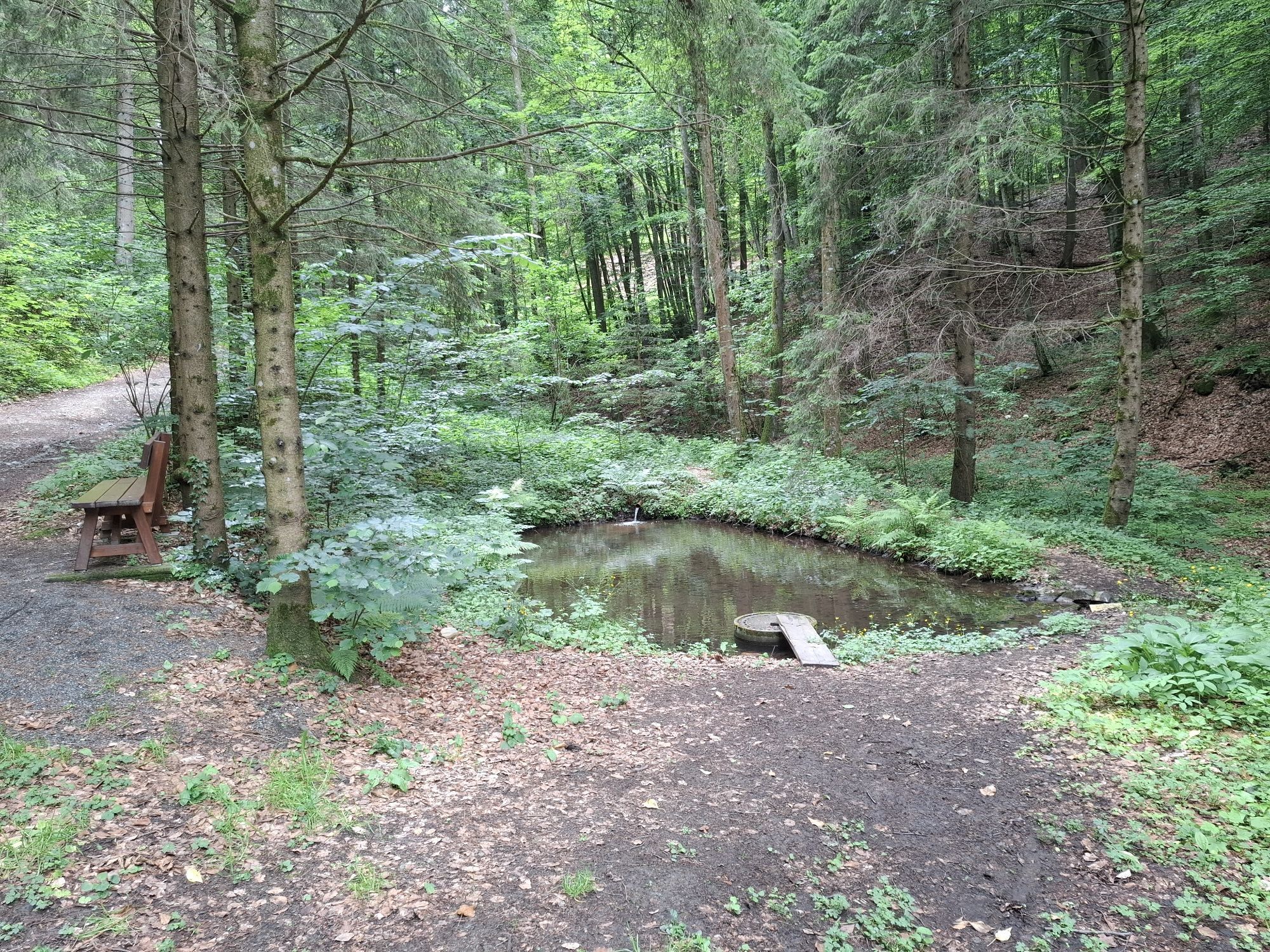
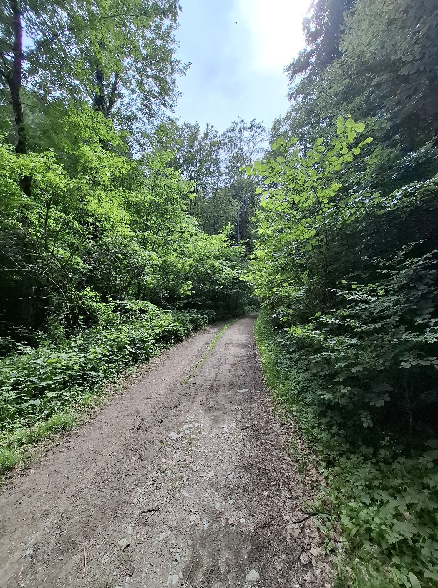
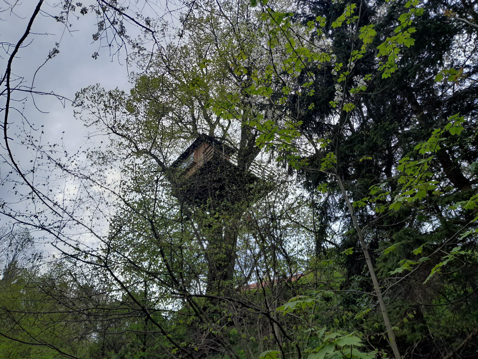
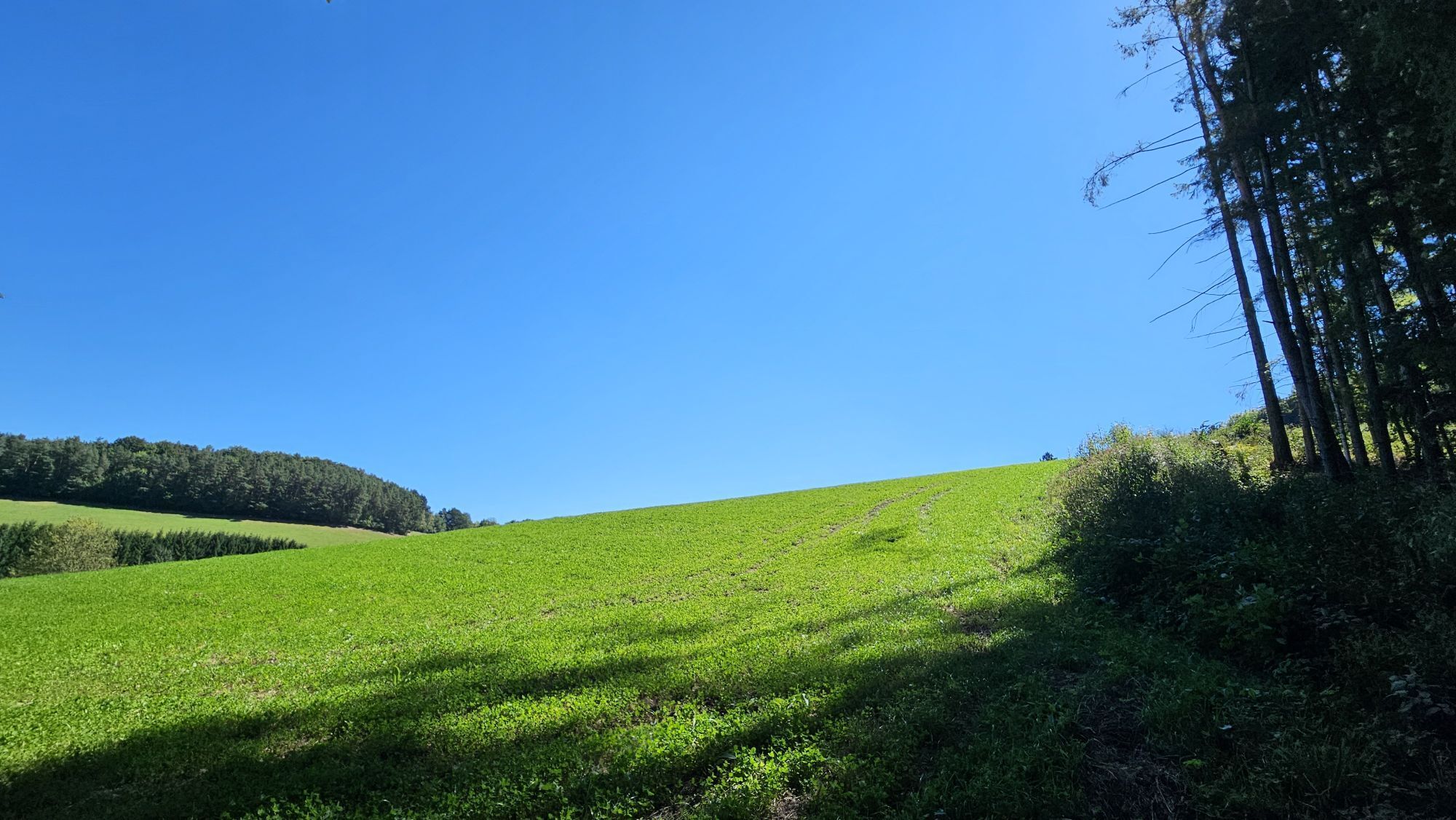
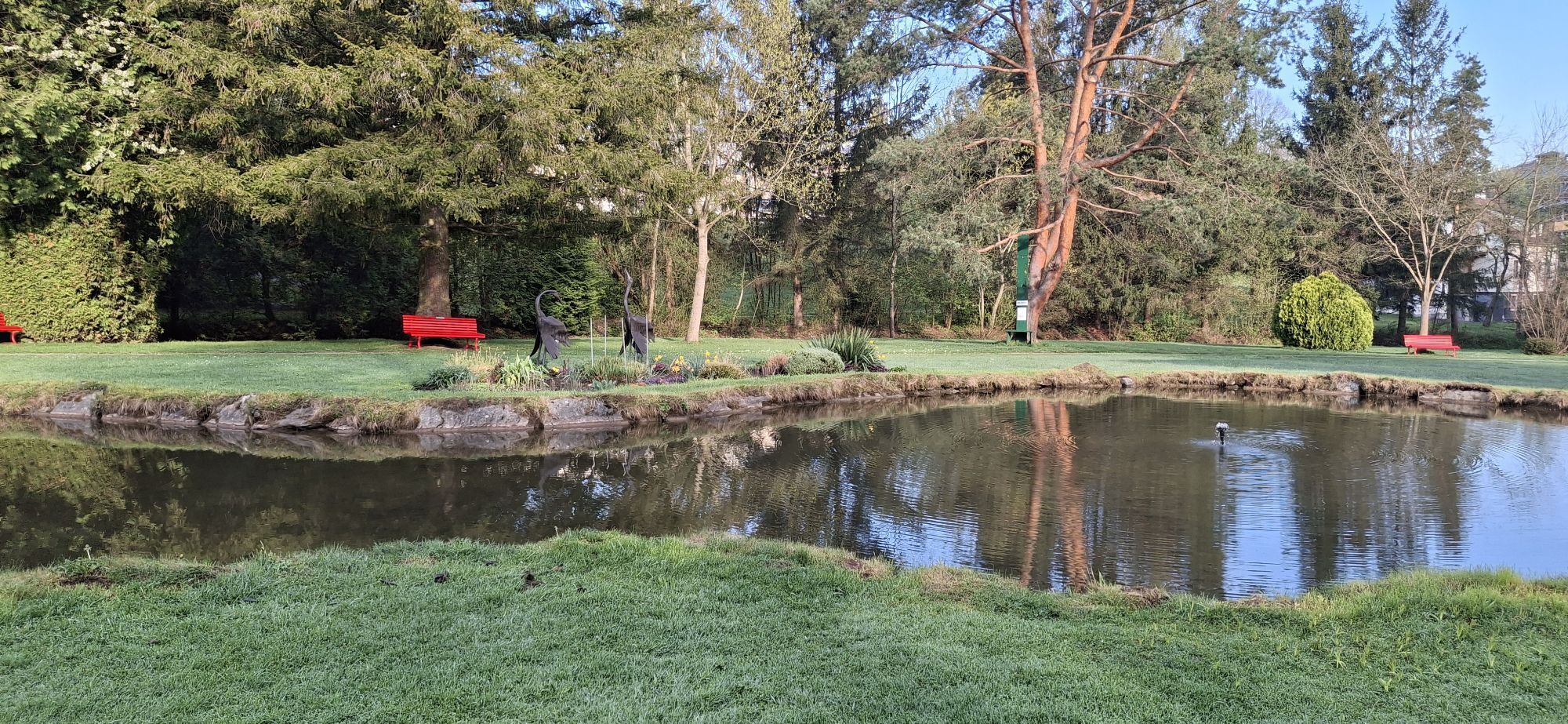
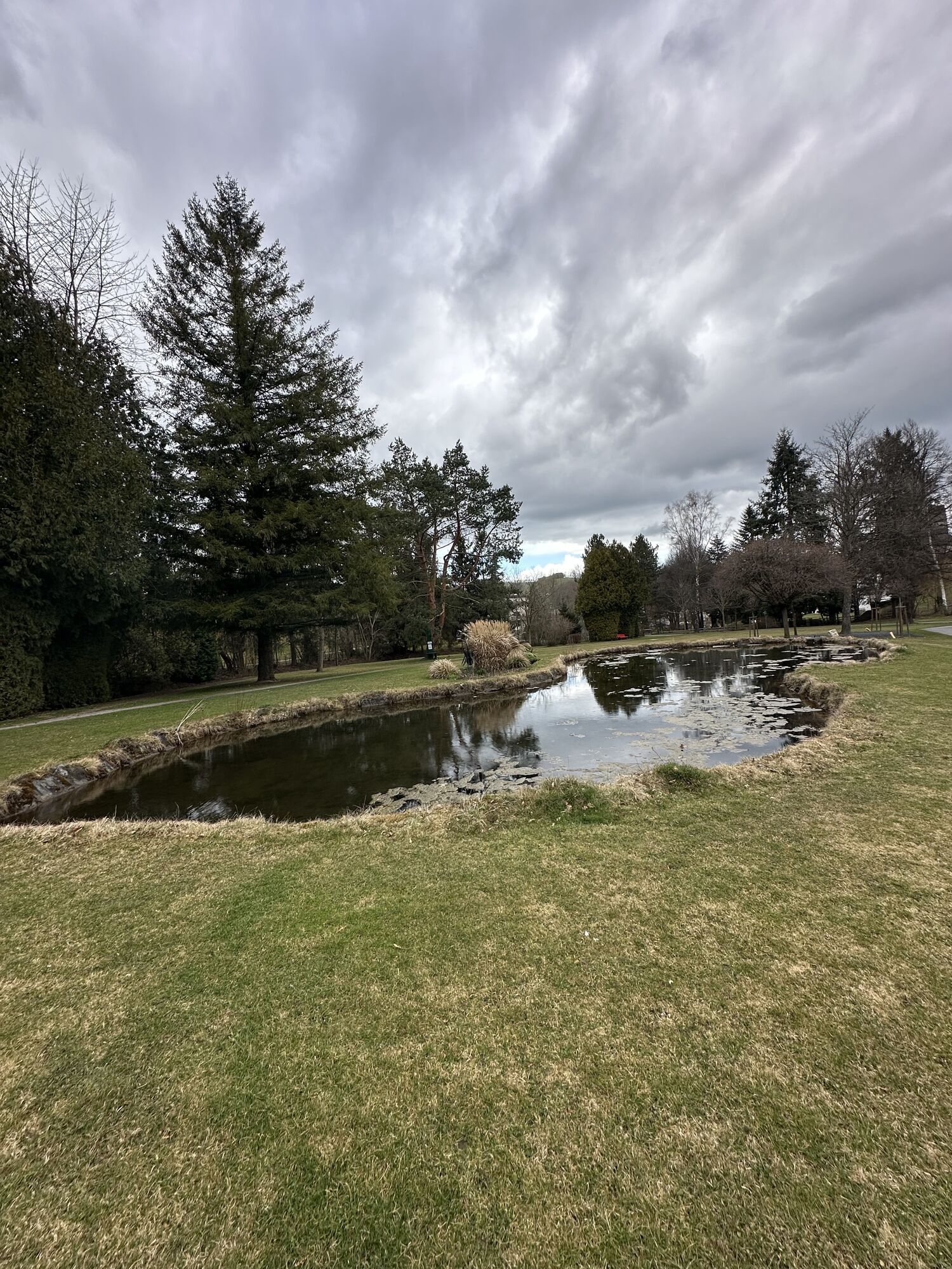
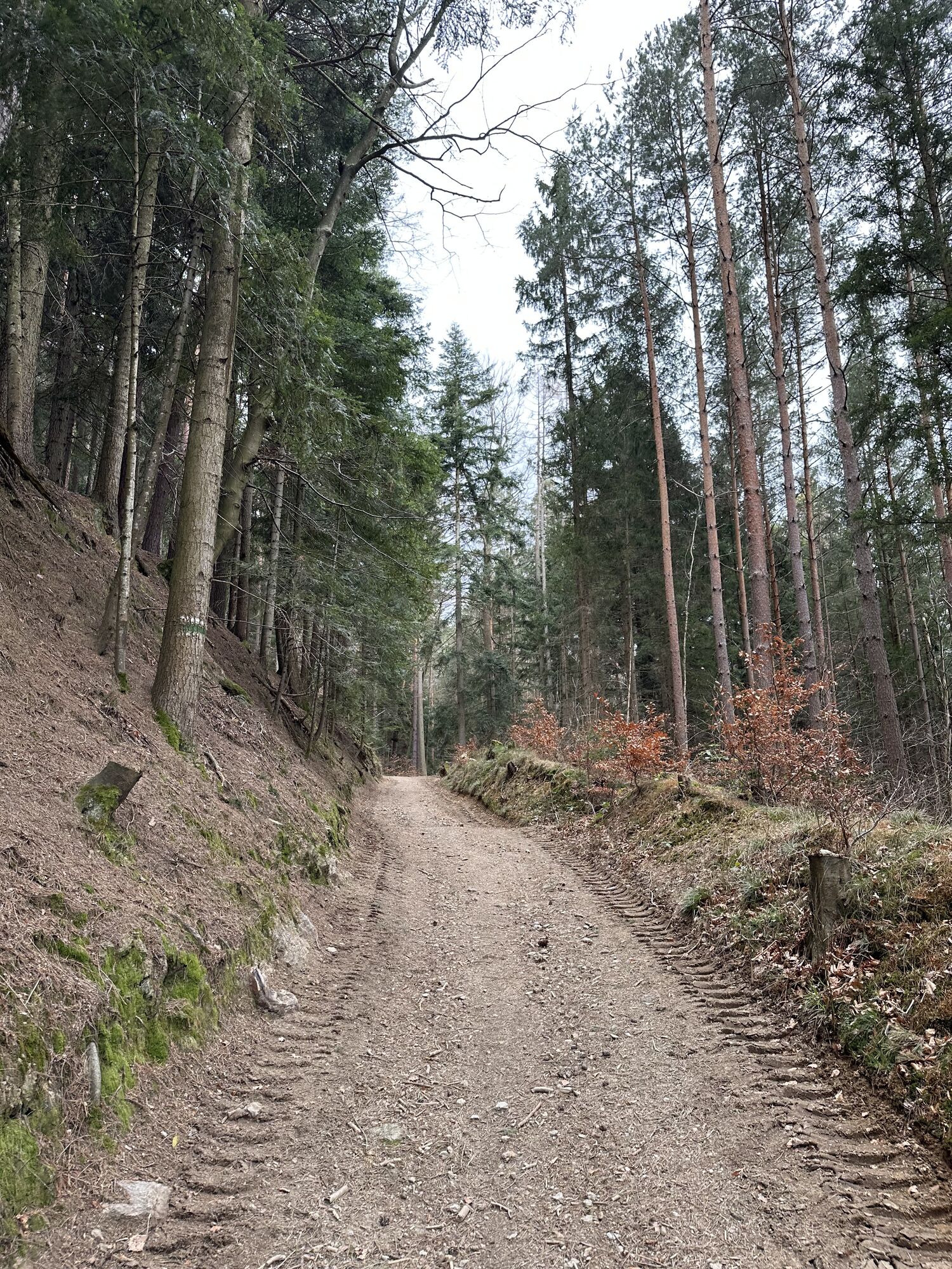
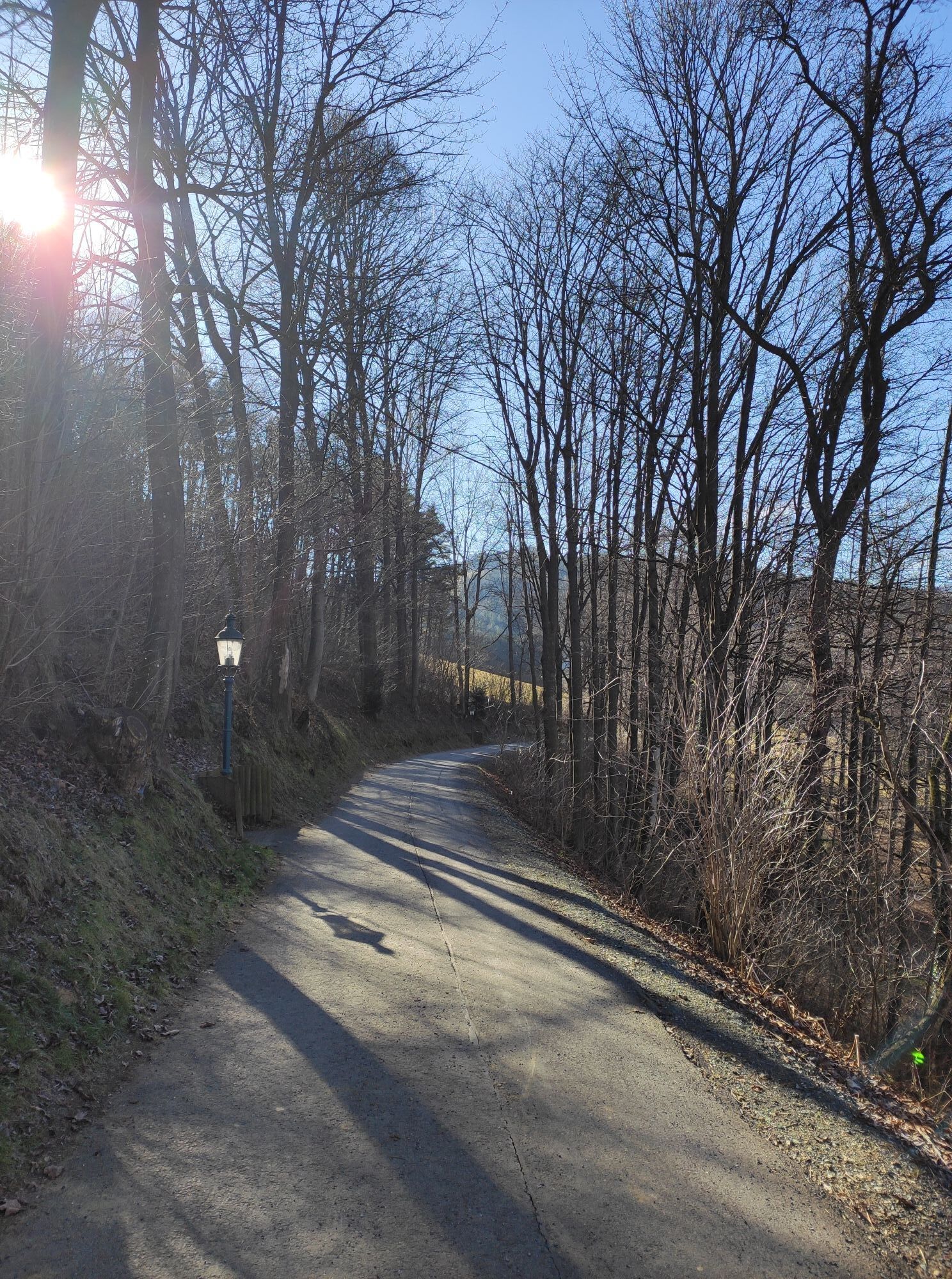
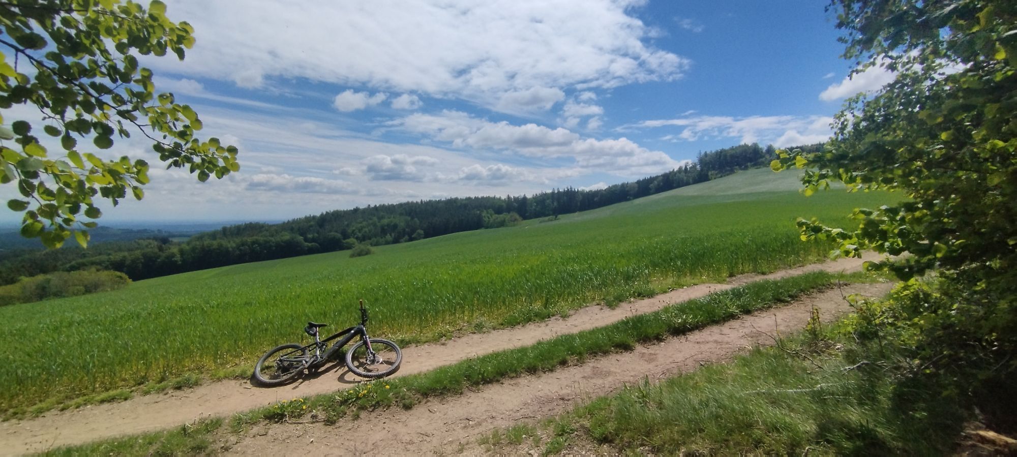
From Gasthof Koder in Bad Schönau you reach a pleasant path along the Erlenbach through the spa park and past tennis courts. The path leads up to the “Hoher Stein” where you can take a short break at the...
<p>From Gasthof Koder in <strong>Bad Schönau</strong> you reach a pleasant path along the Erlenbach through the <strong>spa park</strong> and past tennis courts. The path leads up to the “<strong>Hoher Stein</strong>” where you can take a short break at the <strong>Teufelsmühle</strong>. Built in 1977, the Teufelsmühle was lovingly renovated in 2012 by the association "Schön & Aktiv". According to an old legend, in times of famine a poor mother took flour from the Teufelsmühle and found a piece of gold in every loaf she baked with that flour. A greedy man who then came to the same mill received no flour, but met the devil and did not return alive.</p><p>Past this legendary place, you hike from Bad Schönau further to Möltern in a little more than an hour's walking time. Those who want can go further up to Hutwisch and enjoy the view from the observation platform.</p>

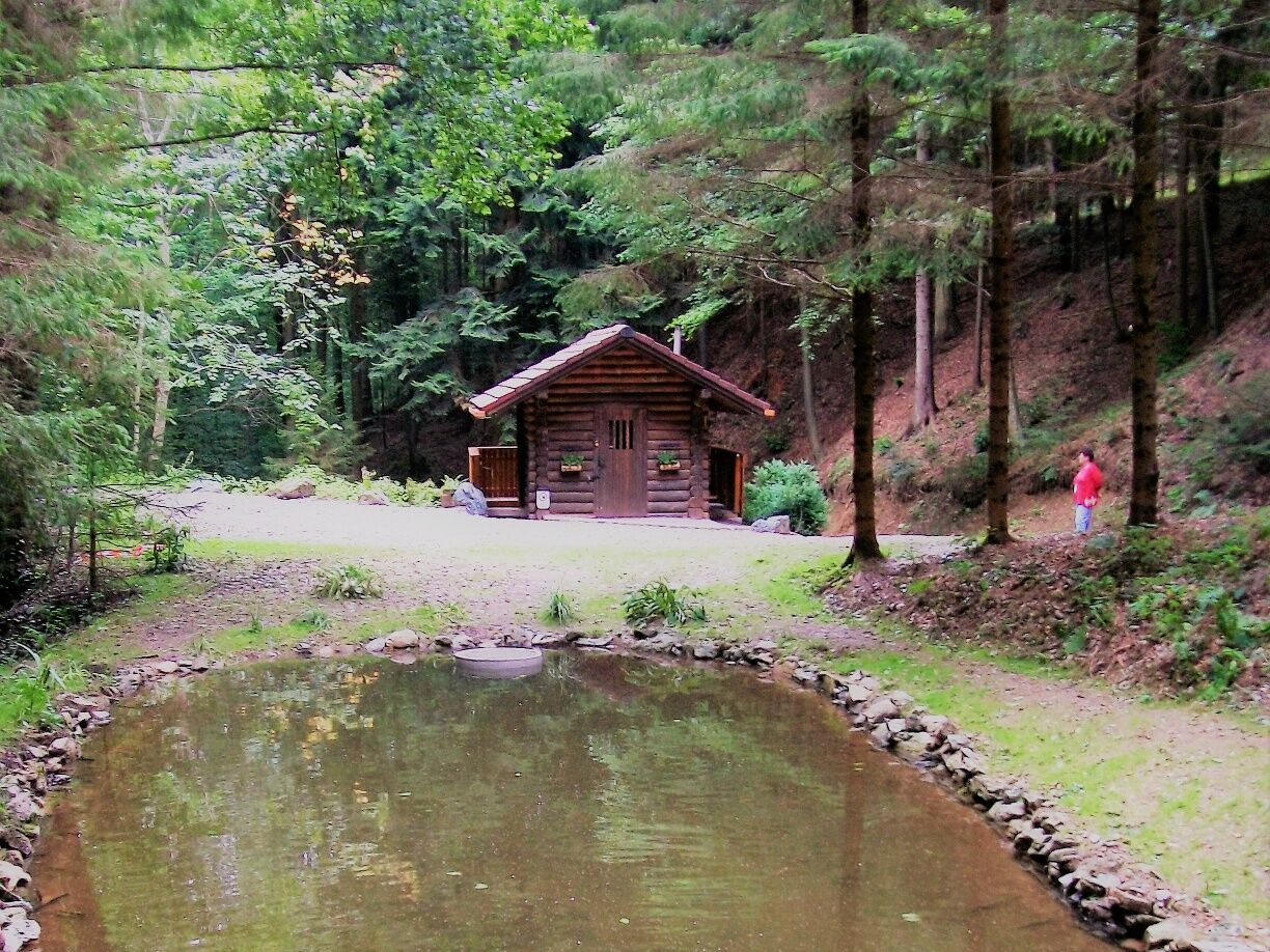
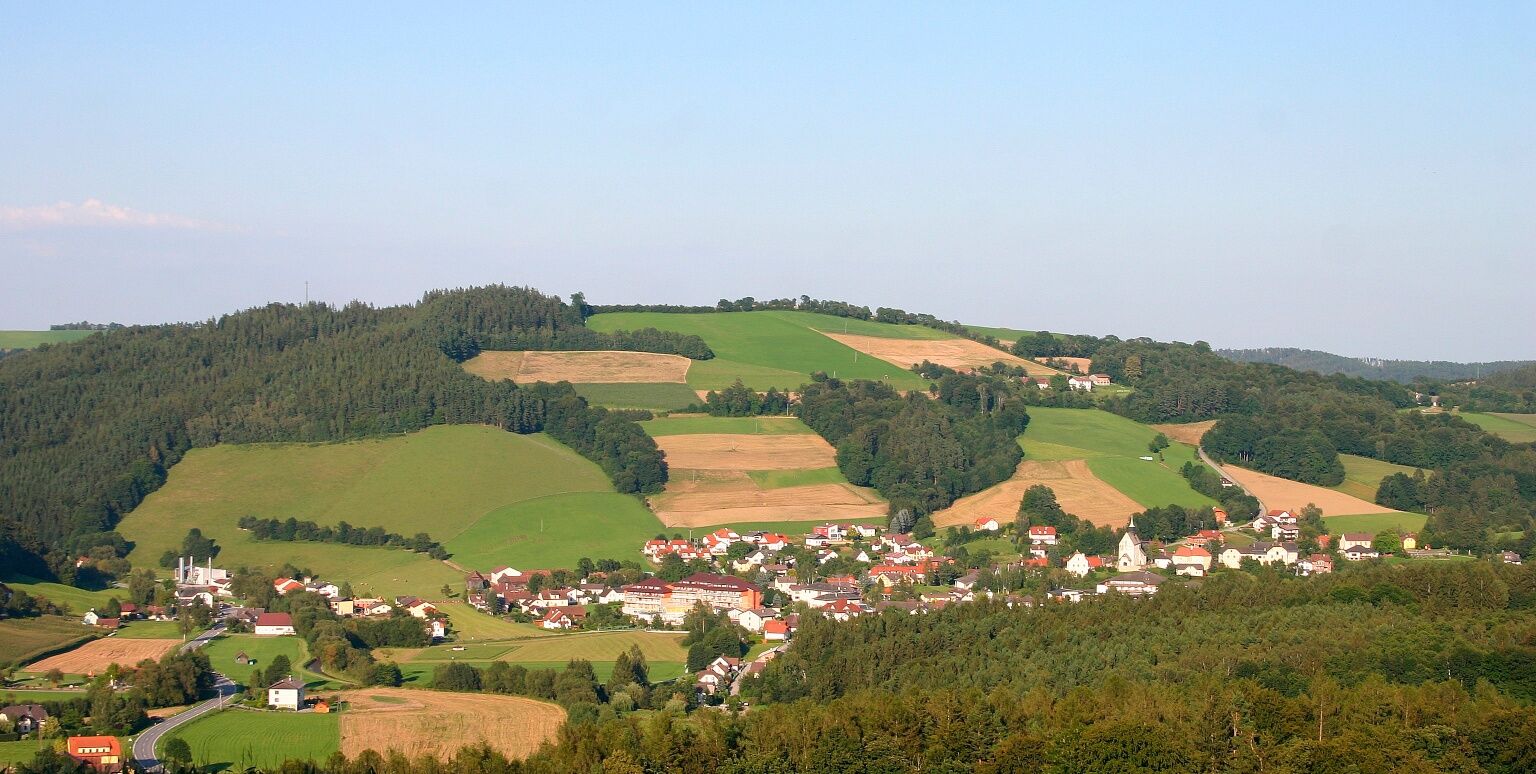

<p>Follow the blue-marked E7 path, although the marking is partly missing in nature. The hike starts at Gasthof Koder and leads across the main street opposite past the Rosalien Chapel, continues along the promenade to the spa park, and from there into the forest to the Erlenbach. Cross the Erlenbach and continue left on the service road to the Hoher Stein or the renovated Teufelsmühle. From there, follow the wide path uphill to the left and after about 800 meters turn right. The last section of the path leads to the Mölterer Dörfl or to Hochneukirchner Street.</p>
<p>Always take suitable <strong>maps</strong>. Wear sturdy <strong>shoes</strong> appropriate for the route, bring sun and rain protection as well as water and a small snack. Take your <strong>mobile phone</strong> and save the mountain rescue emergency number: 140</p>
<p>Your hikes in the Viennese Alps should be a thoroughly pleasant and safe experience. Please therefore observe the following:</p><p><strong>Preparation </strong></p><p>Make sure when choosing the route that it matches your experience and <strong>fitness</strong>. Check the <strong>weather forecast</strong> in advance. The weather in the mountains can change surprisingly quickly. Always set out adequately equipped (e.g. rain protection).</p><p>Check whether the <strong>huts and snack stations</strong> you want to visit along the way are open. <strong>Inform</strong> someone about your chosen route and your planned return before you leave.</p><p>Find more safety tips <a href="www.wieneralpen.at/sei-gut-drauf-komm...
<p><strong>From Vienna</strong>: Take the South Motorway A2, exit at Krumbach. At exit 76-Krumbach, drive towards Krumbach/Hungary and continue via the Krumbach junction onto the B55. In Bad Schönau, turn right onto the main street and follow it straight to Gasthof Koder.</p><p><strong>From Graz</strong>: Take the South Motorway A2, exit at Aspang-Zöbern. Turn right onto L137. Follow the road. Turn right onto Kirchschlager Str./B55. In Bad Schönau, turn right onto the main street and follow it straight to Gasthof Koder.</p>
<p>More information at <a href="www.oebb.at">www.oebb.at</... and <a href="www.vor.at">www.vor.at</a&...
<p>Parking available at Gasthof Koder.</p>
Viennese Alps in Lower Austria, www.wieneralpen.at, +43 / 2622 / 78960
Opening hours: Mon - Thu 8:30 am - 4:00 pm / Fri 8:30 am - 1:00 pm
Tourist information Bad Schönau, www.badschoenau.at, +43 / 2646 / 8284
Combine your hike with a stay in Bad Schönau at the Hotel Weber or the Gesundheitshotel Königsberg!

Rutas populares en los alrededores
-
4,3
"Weg der Blicke"
luzSenderismo 5,86 km -
4,5
Bad Schönau - Hutwisch
luzSenderismo 9,99 km -
4,4
B53 Edelserpentin
medioCiclismo 23,5 km -
4,4
BAD-SCHÖNAU Hutwisch und wieder zurück 20220611
medioSenderismo 10,8 km -
4,8
S24 Vuelta de Neustift
luzSenderismo 9,22 km -
4,8
Carril bici B41 Zöberntal-Rabnitztal
medioCiclismo 40,7 km -
3,8
Willersdorf - Willersdorfer Schlucht - Kreuzberg - Aschau im Burgenland
medioSenderismo 9,41 km -
5,0
Bad Tatzmannsdorf - Bergwerk
luzSenderismo 12,8 km -
5,0
Bad Schönau - Hutwisch - E17
luzSenderismo 10,8 km -
3,5
Sulzriegel Waldrunde Jormannsdorf, Burgenland
luzSenderismo 4,88 km
Senderismo y rastreo


No se pierda las ofertas y la inspiración para sus próximas vacaciones
Su dirección de correo electrónico se ha añadido a la lista de correo.





