






Hike to Gauermannhütte (from Miesenbach)
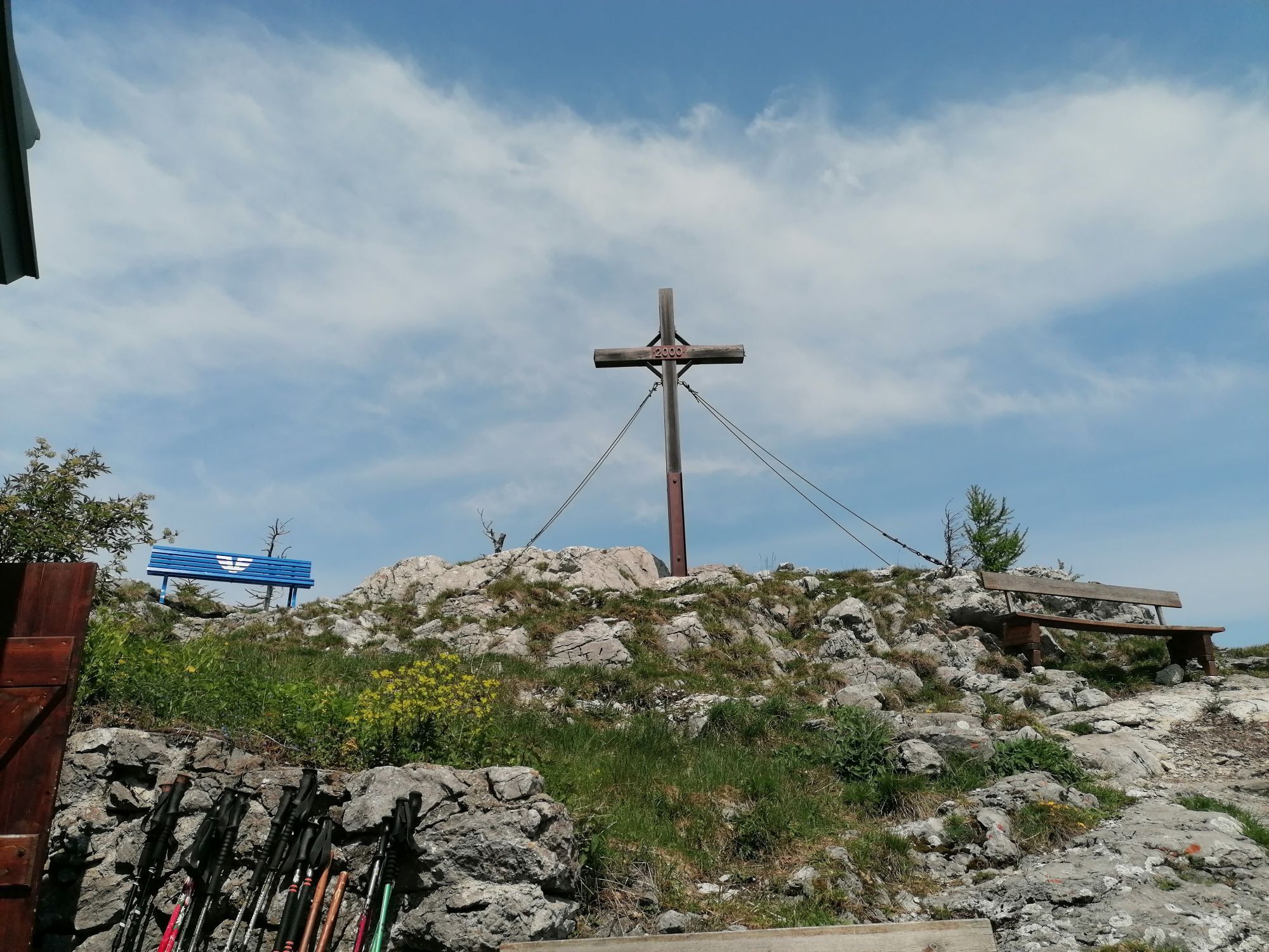
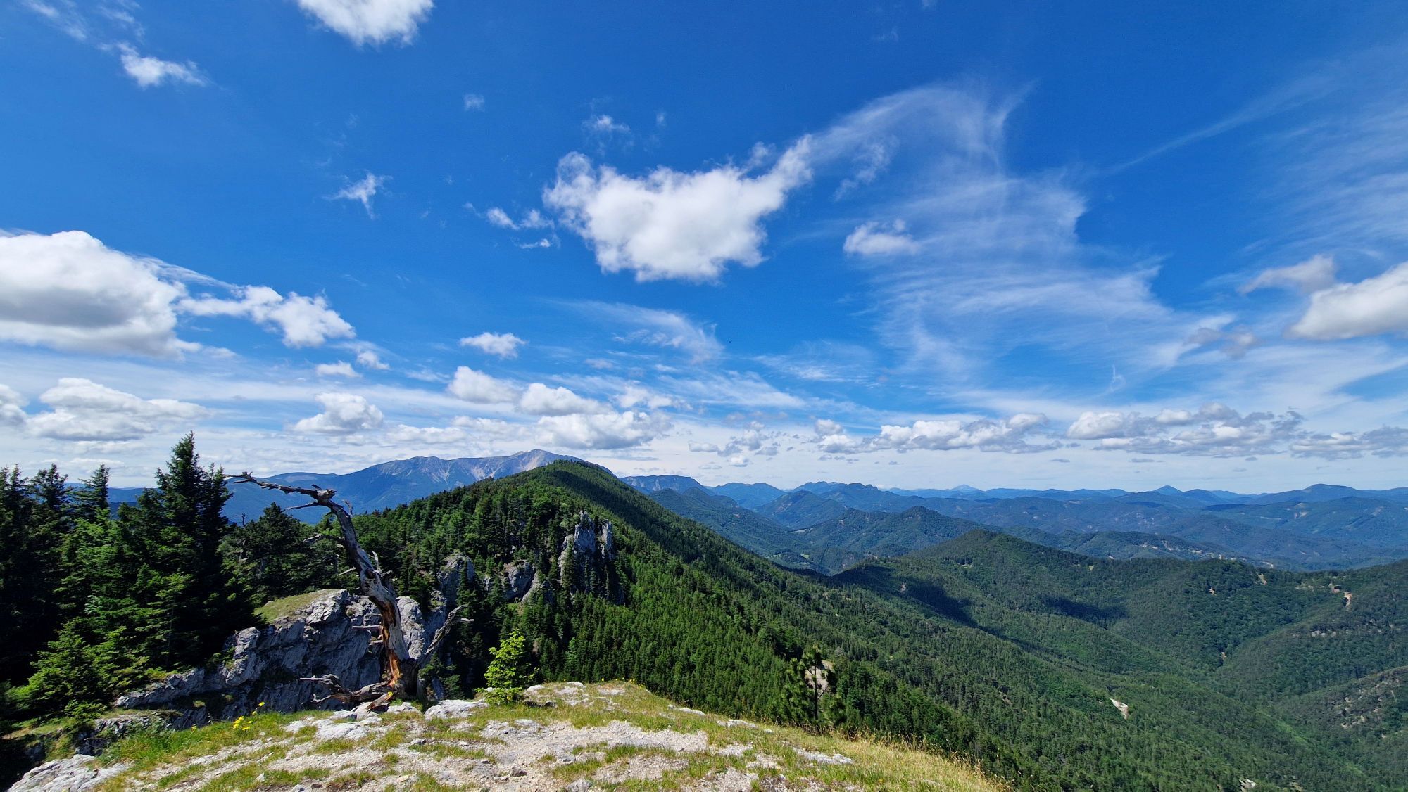
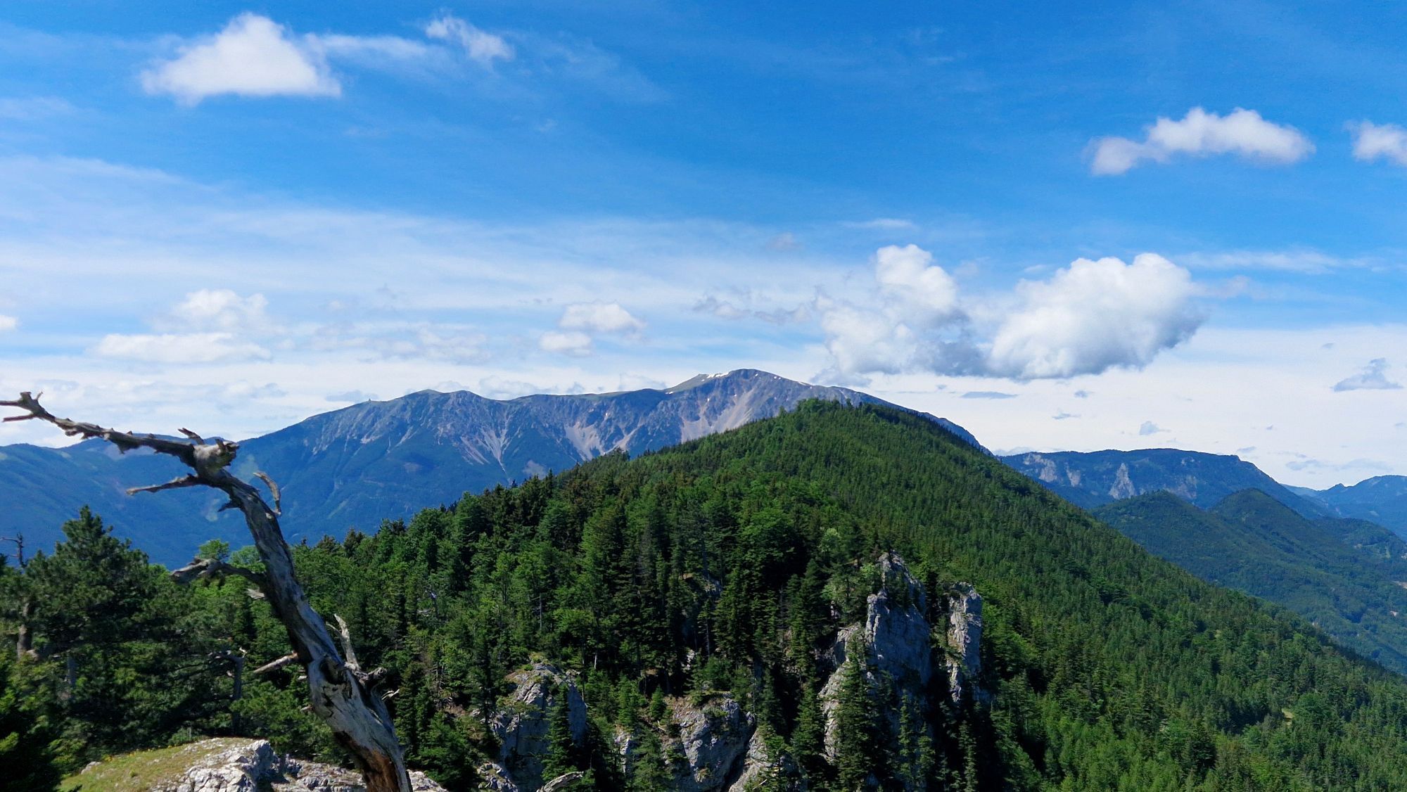
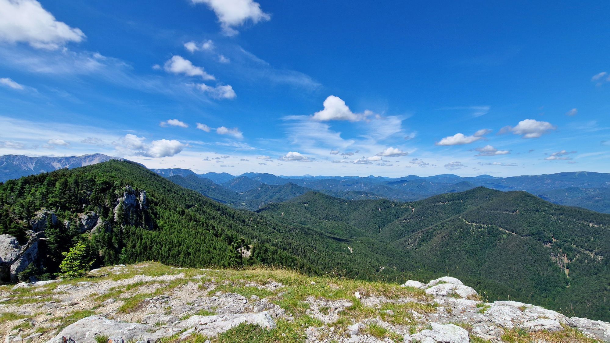
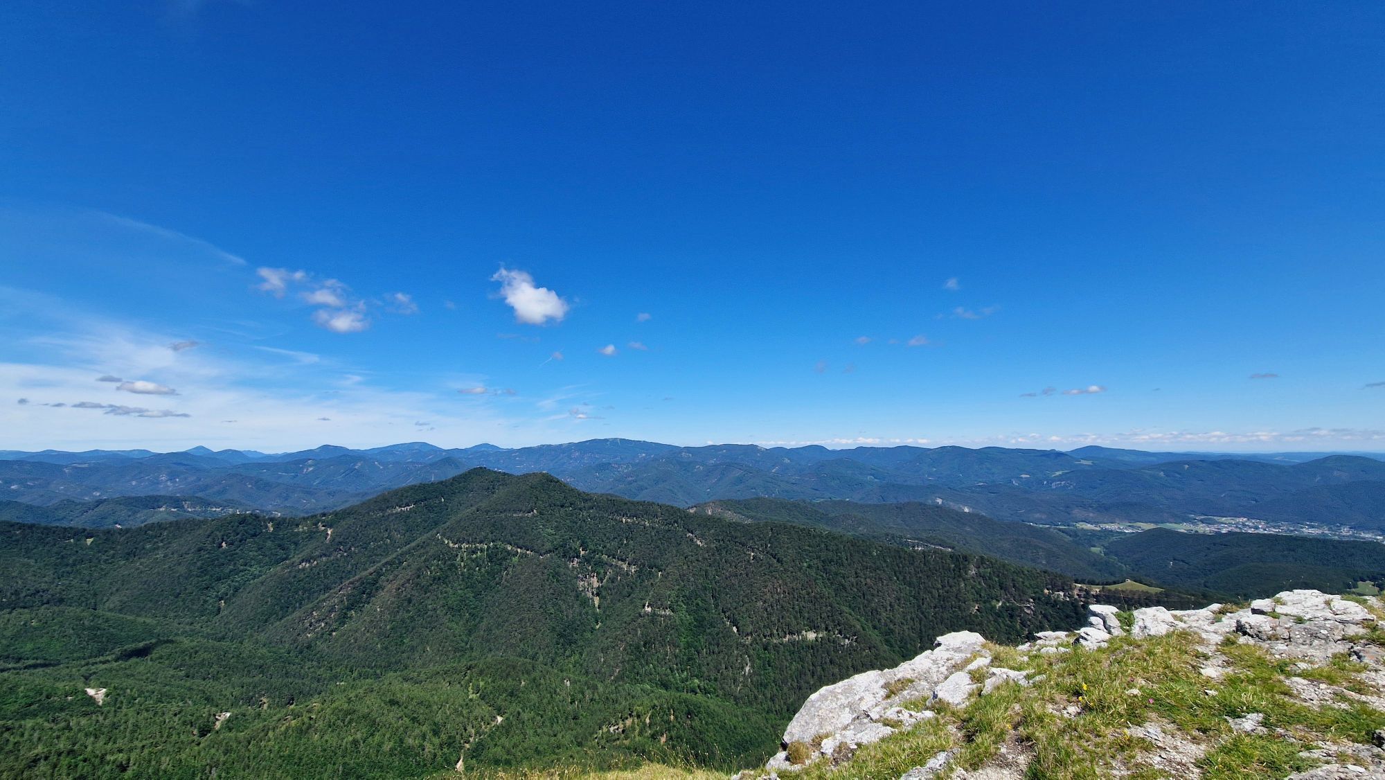
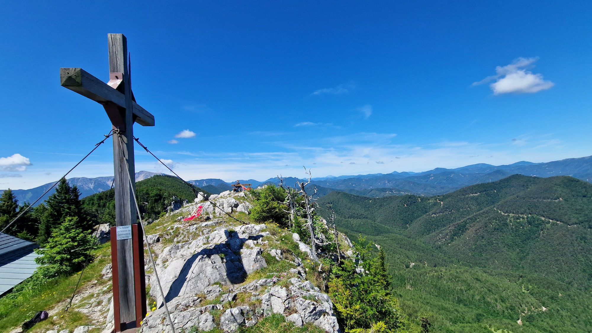
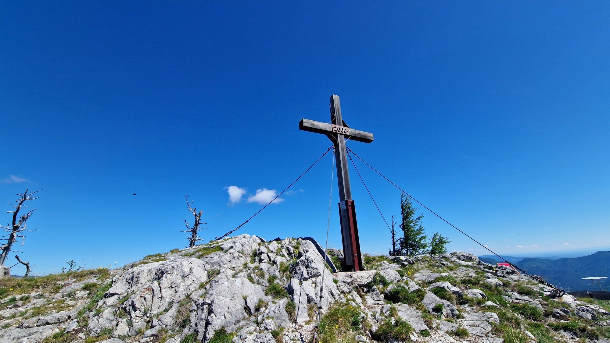
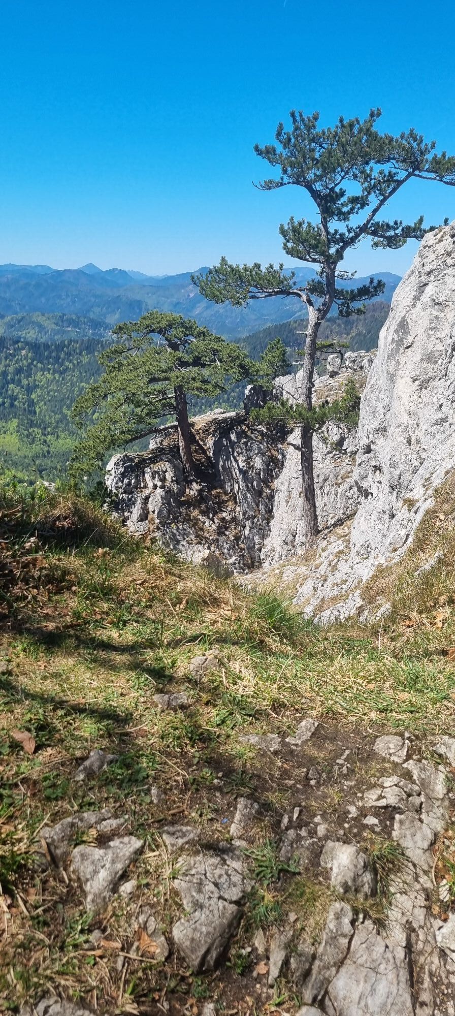

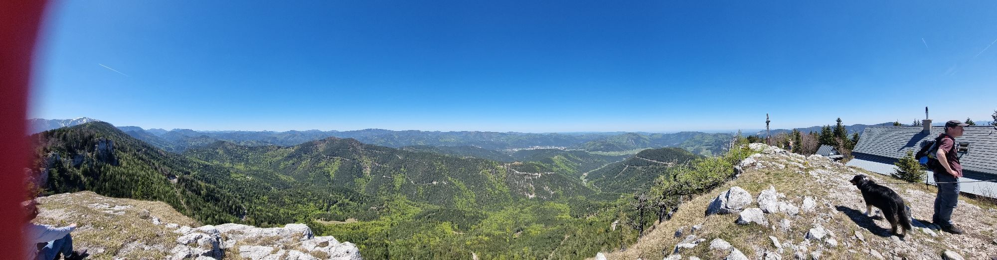
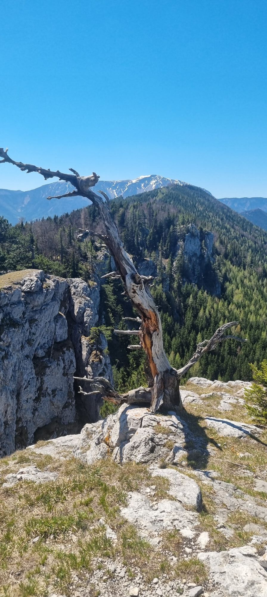
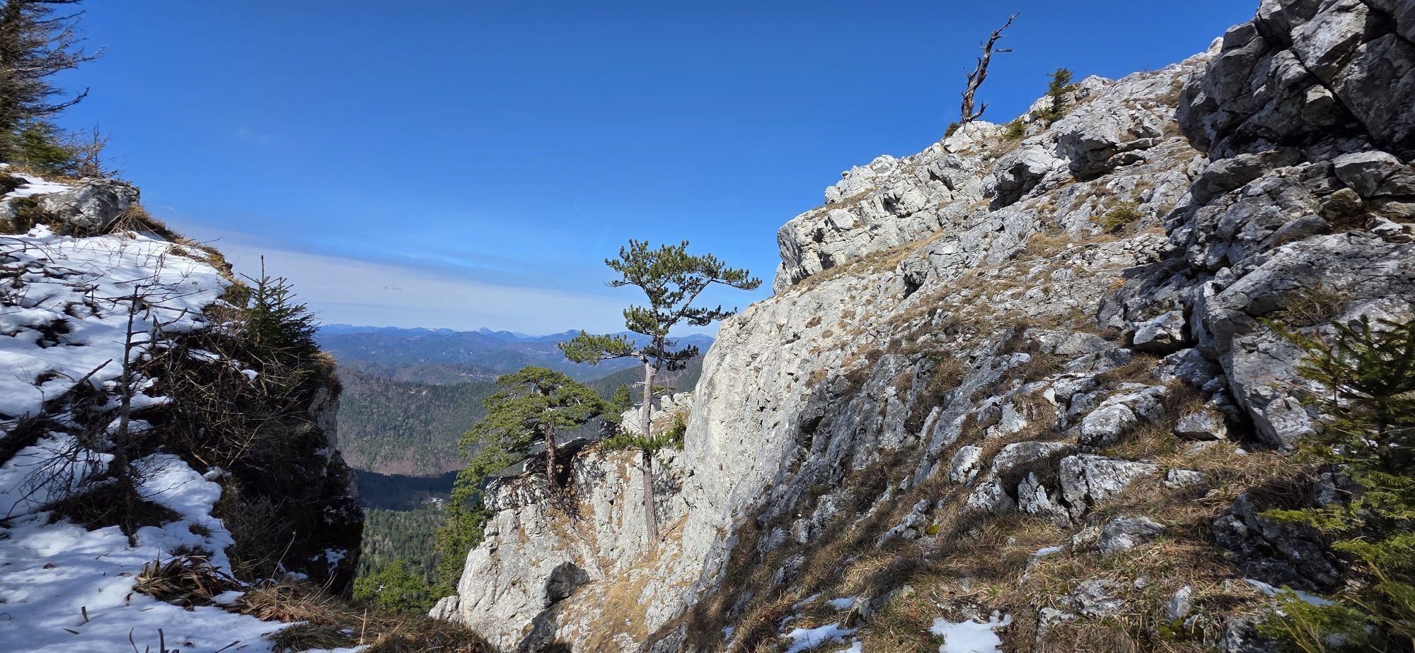
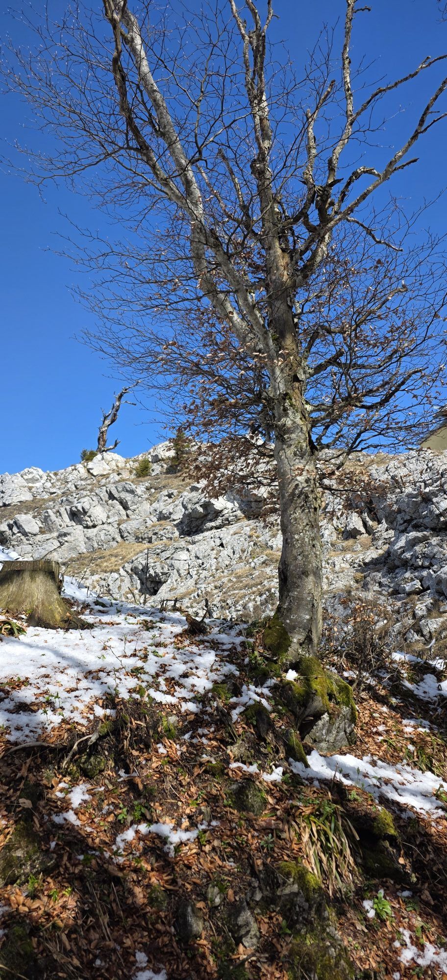

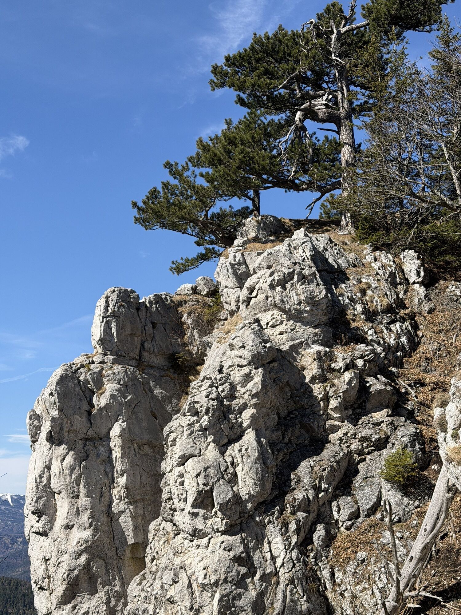
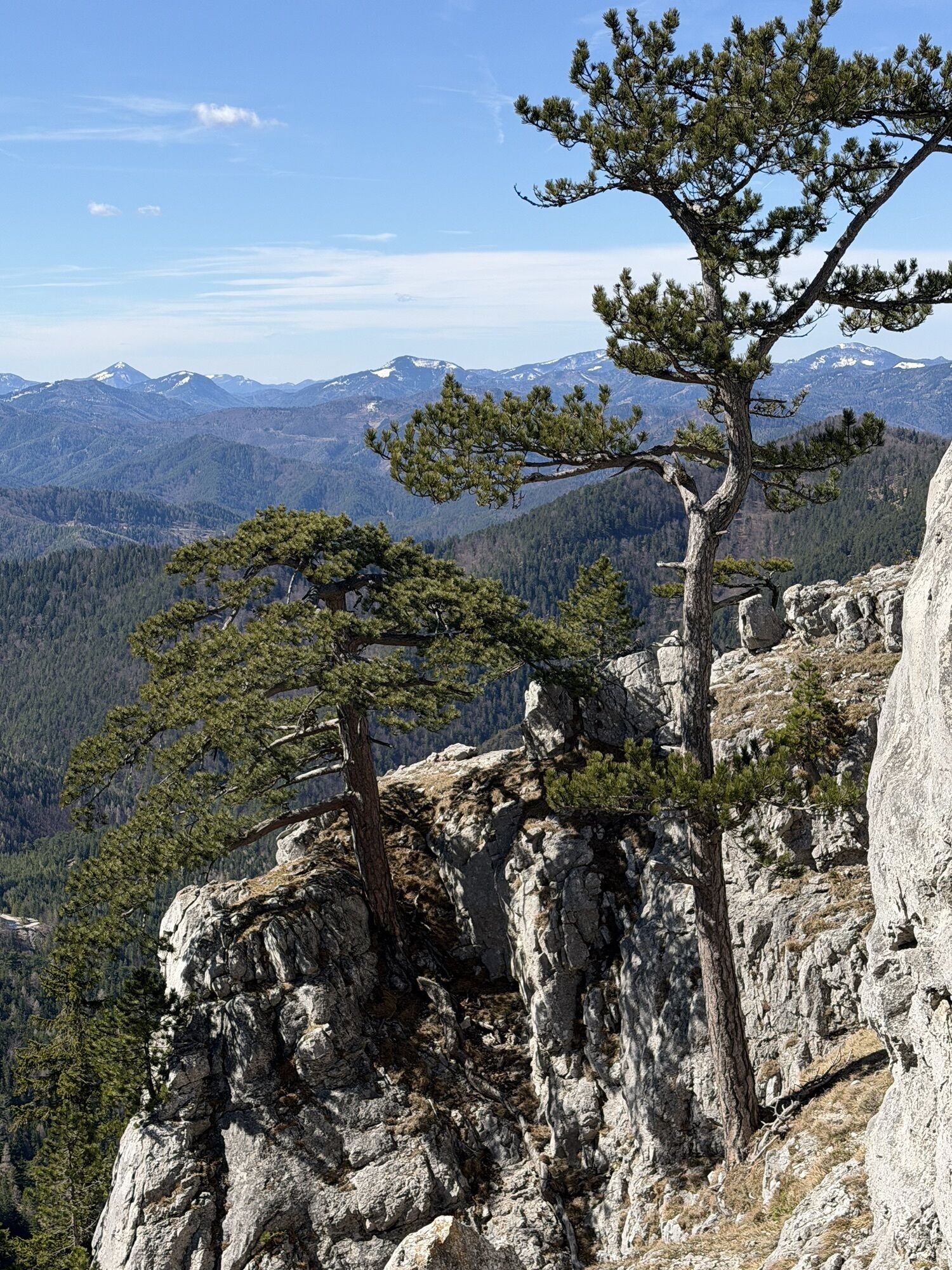
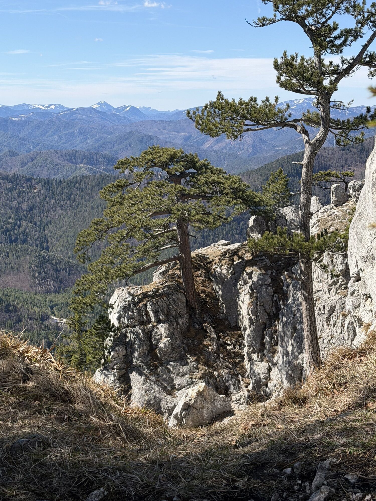
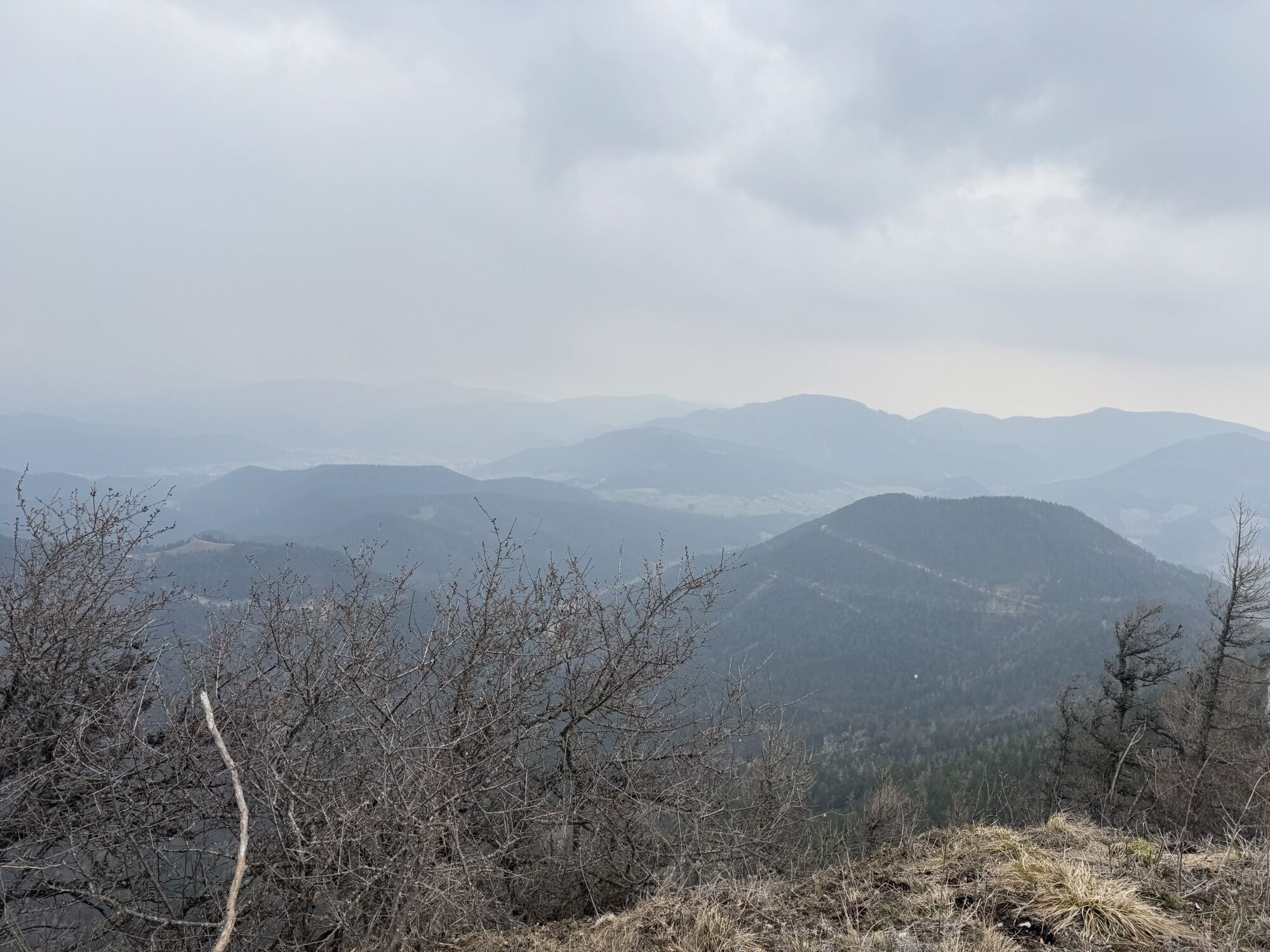
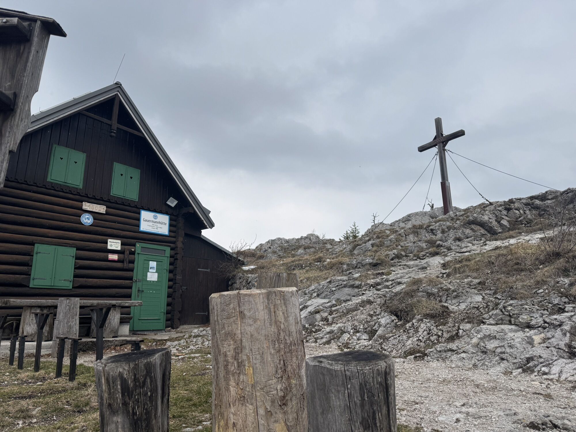
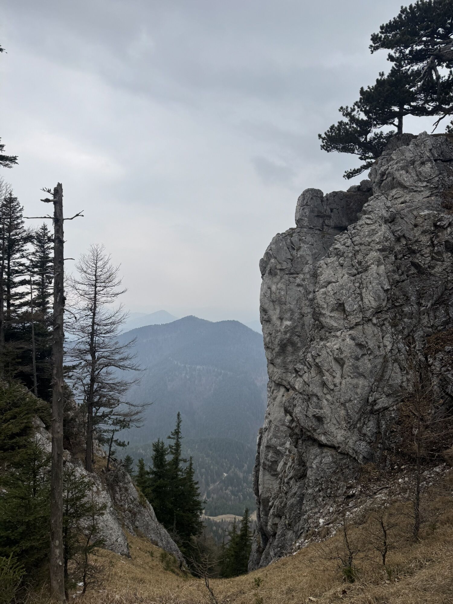
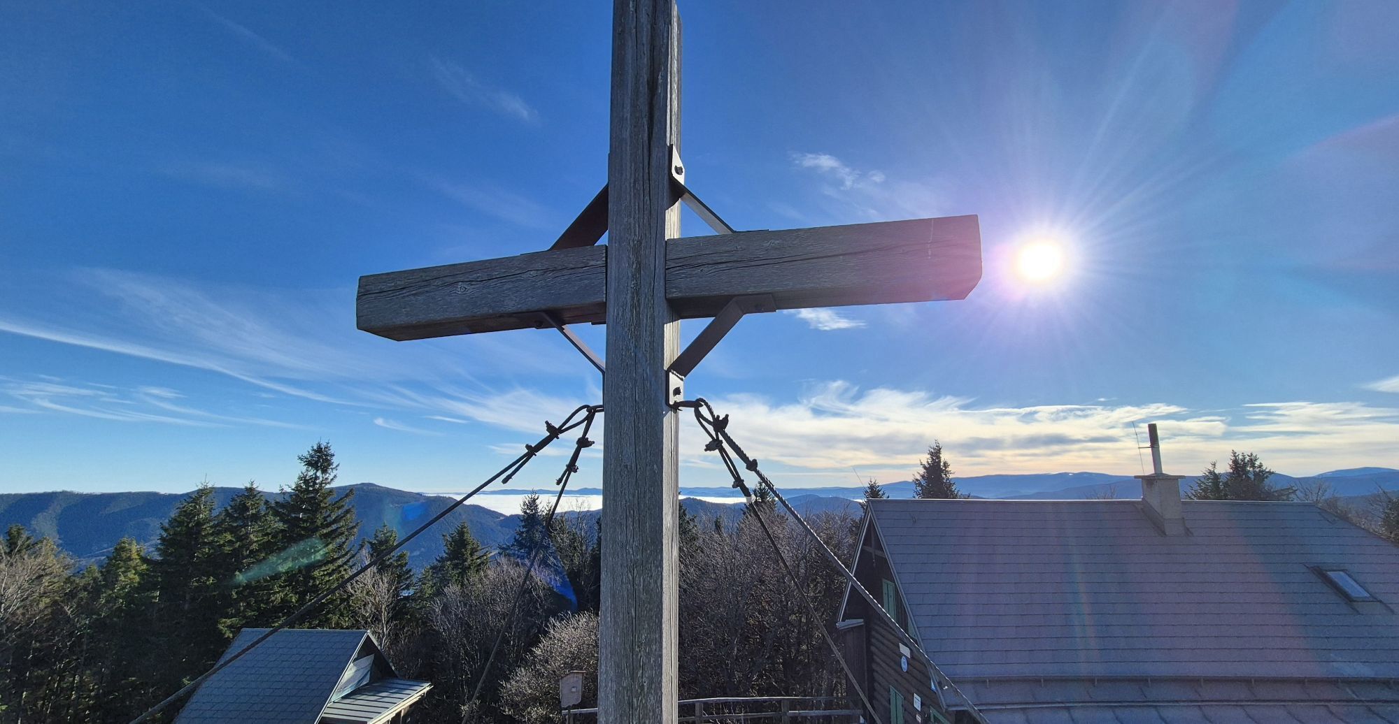
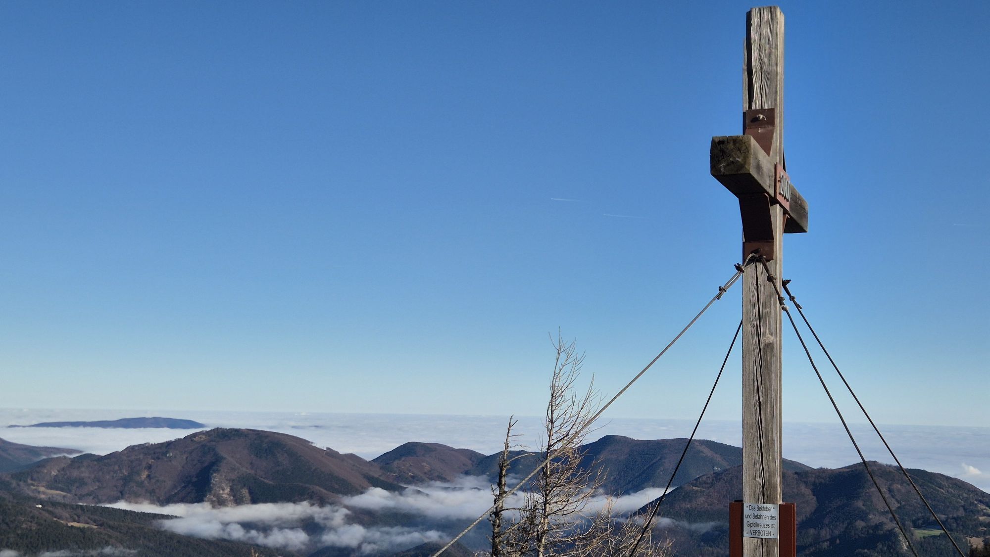


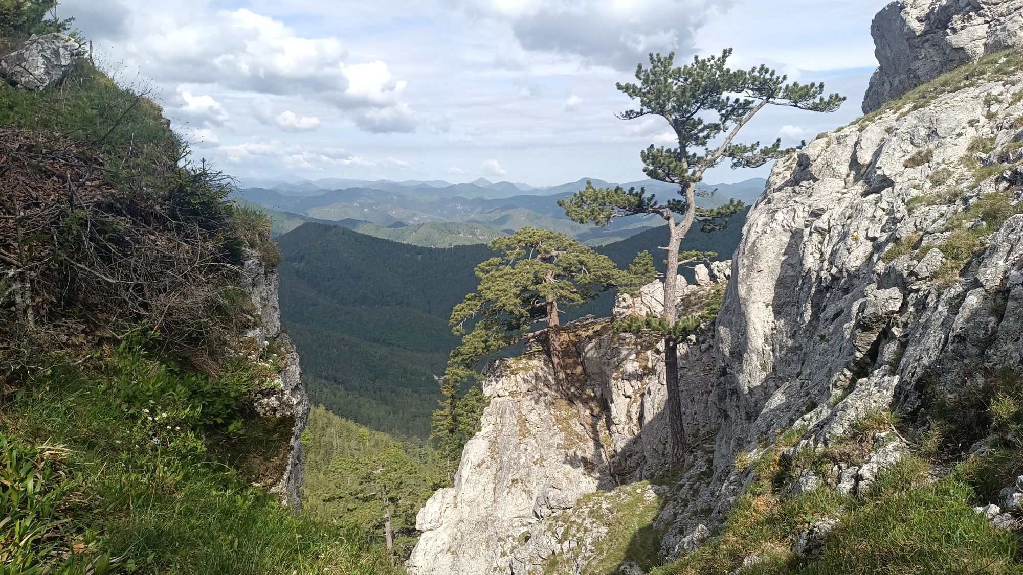
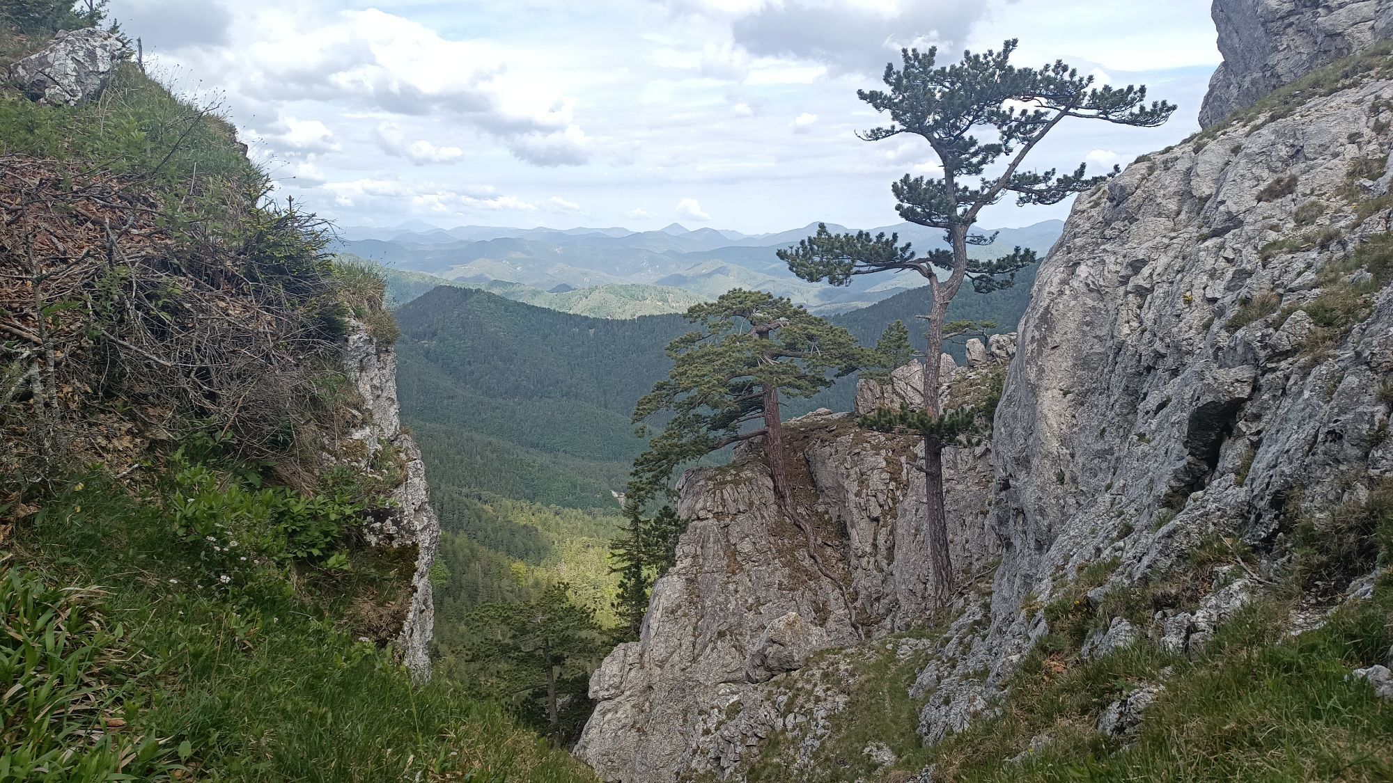
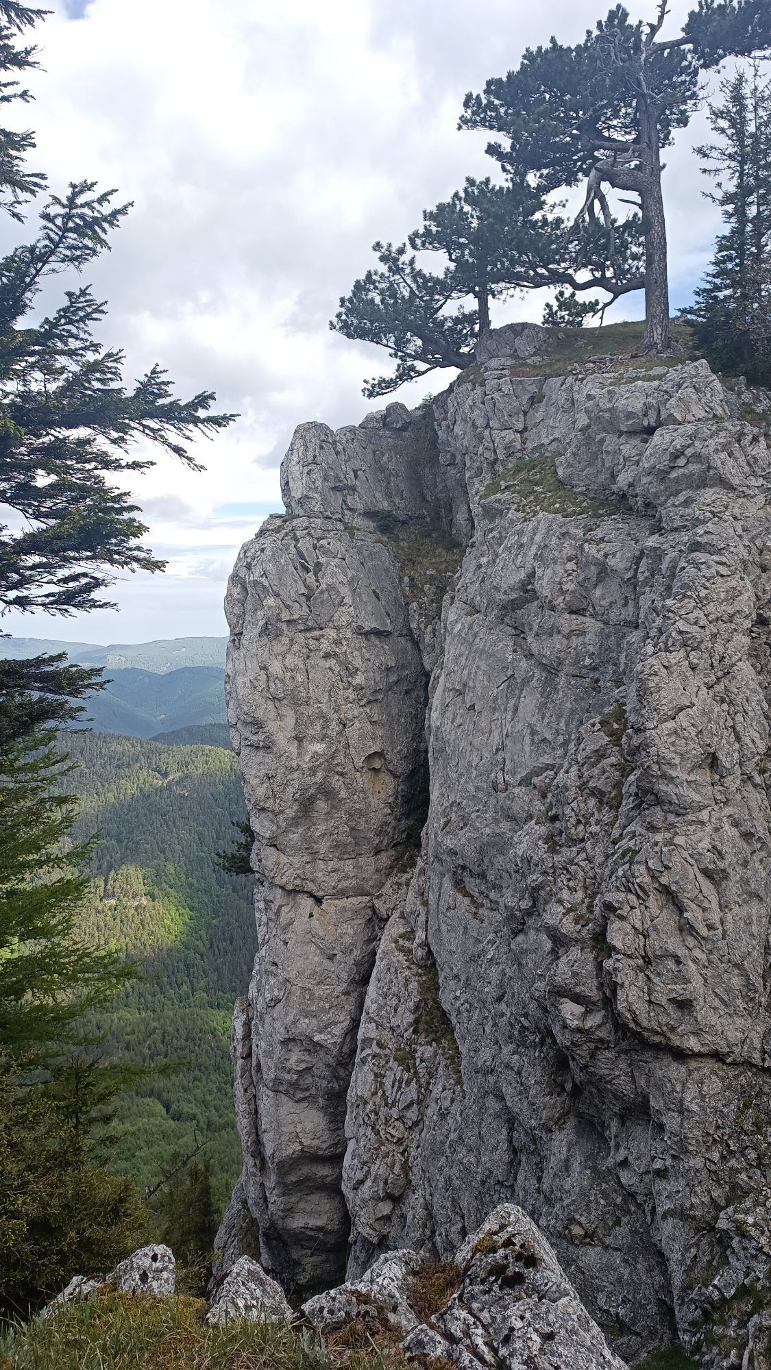
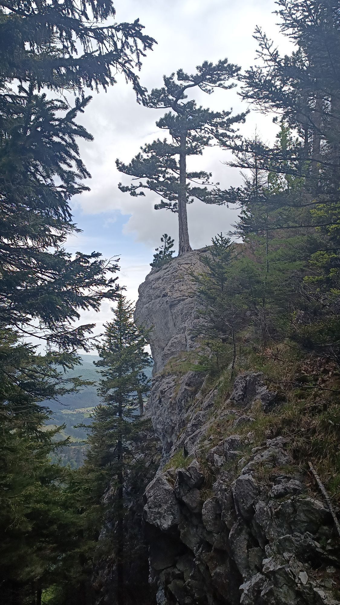
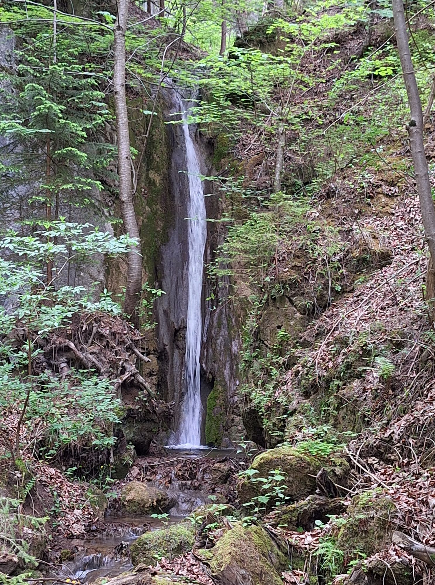
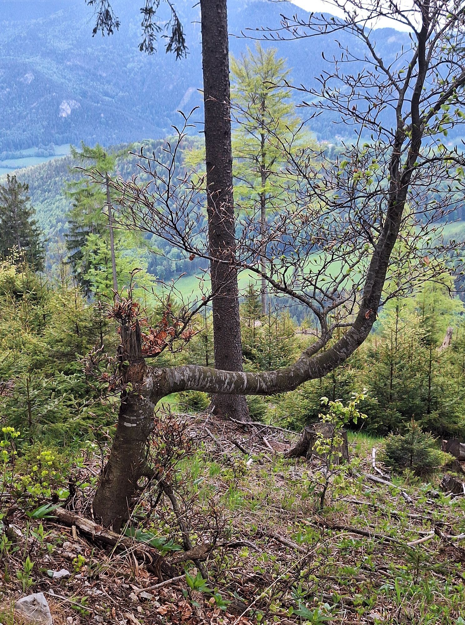
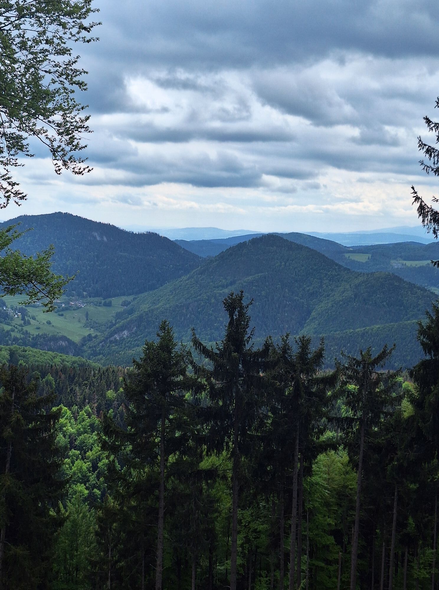
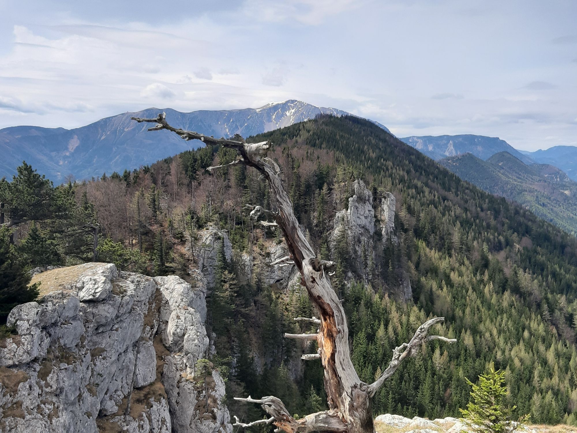


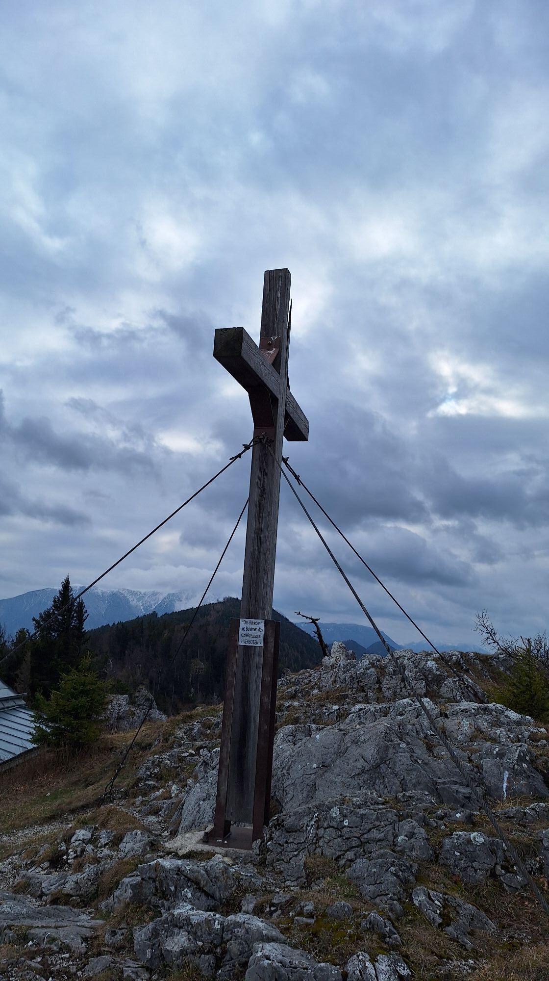
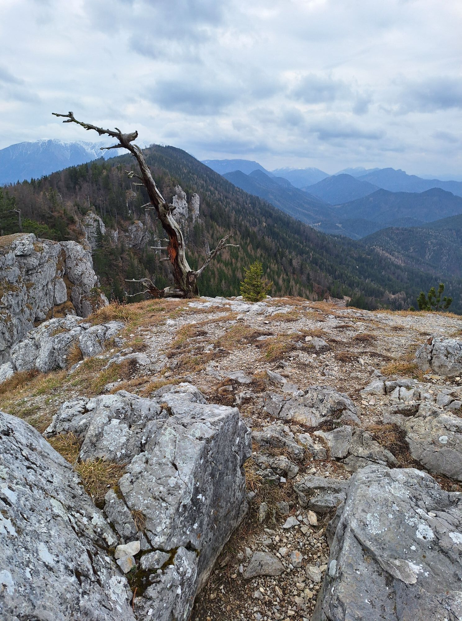
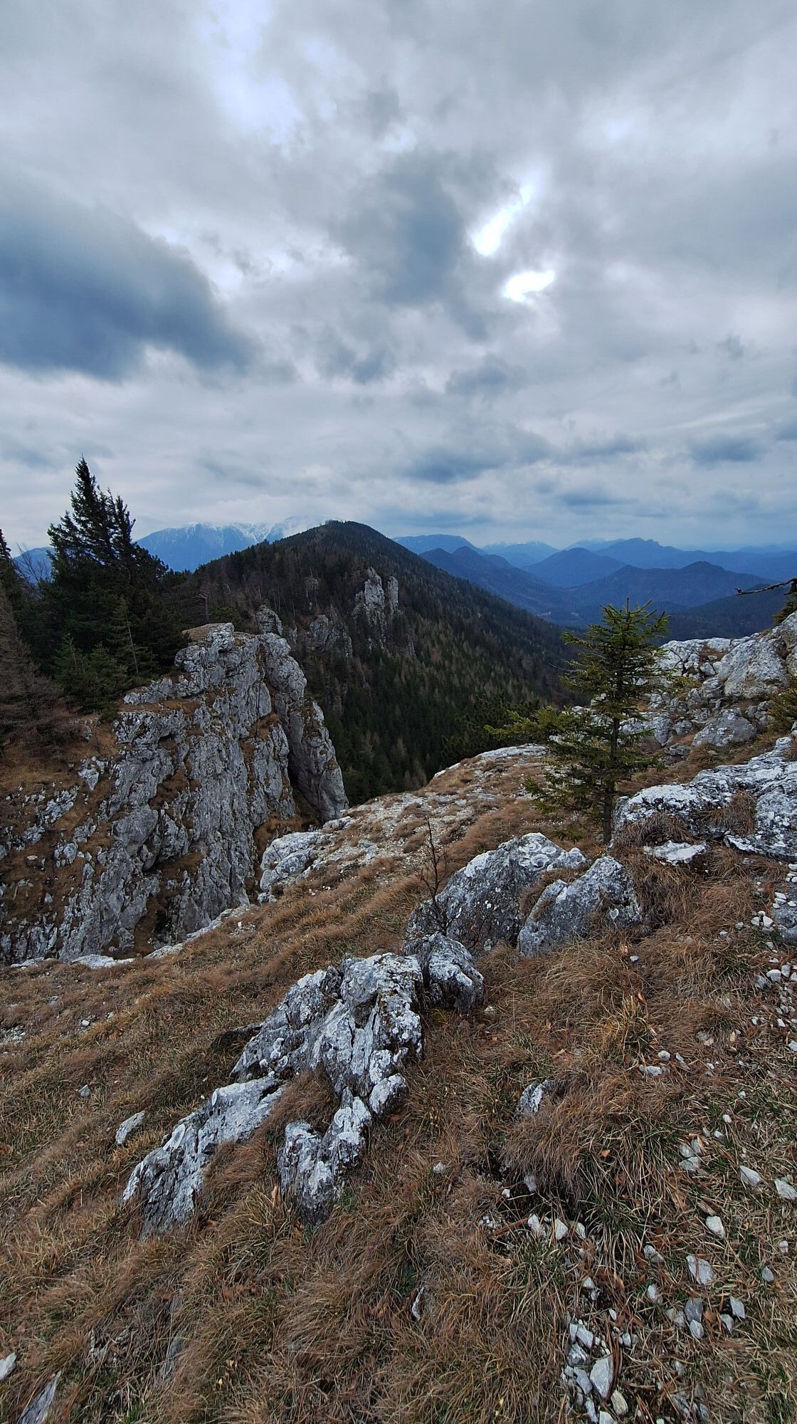
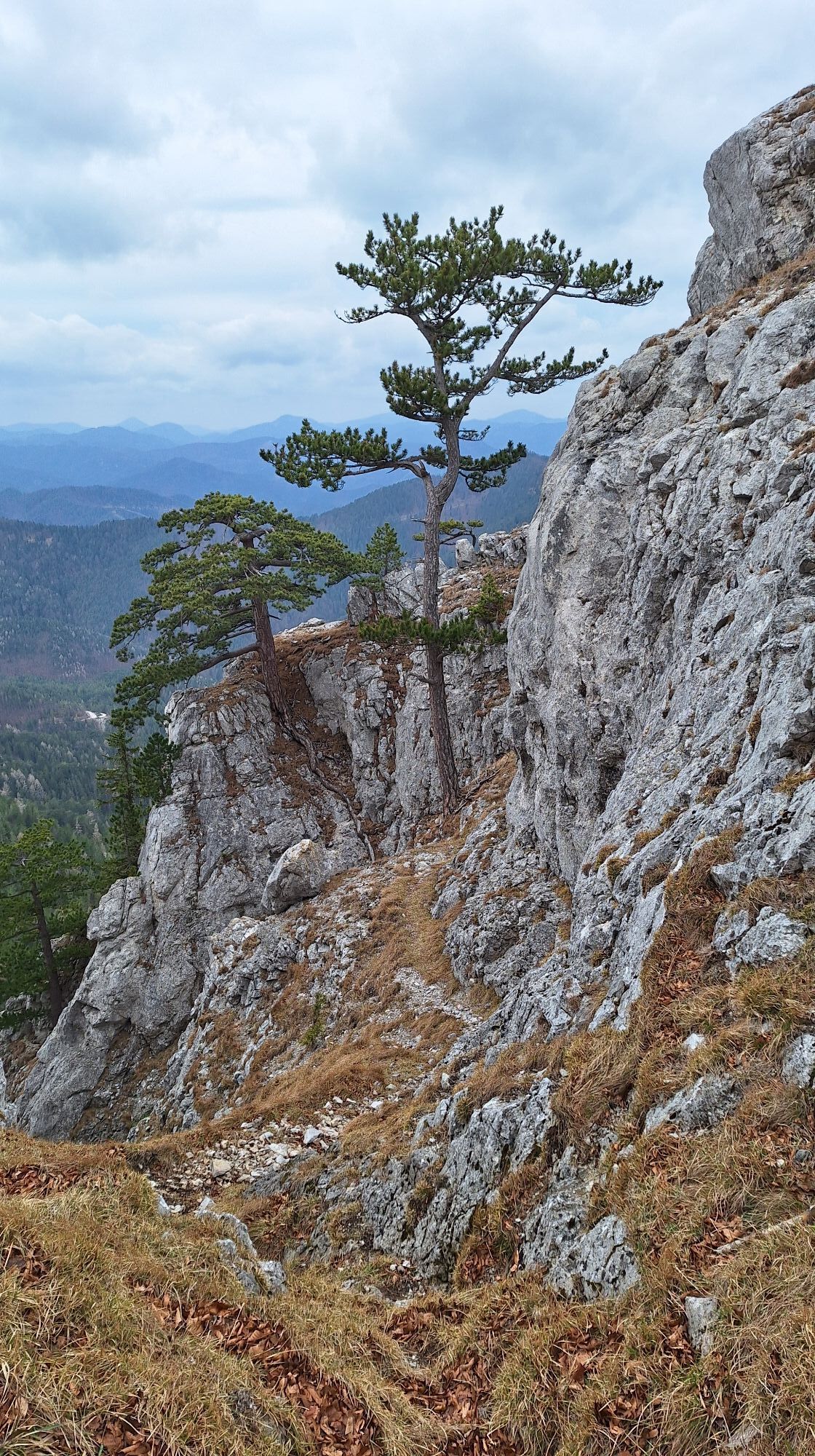
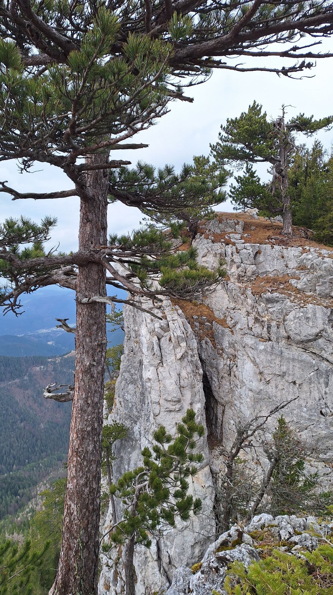
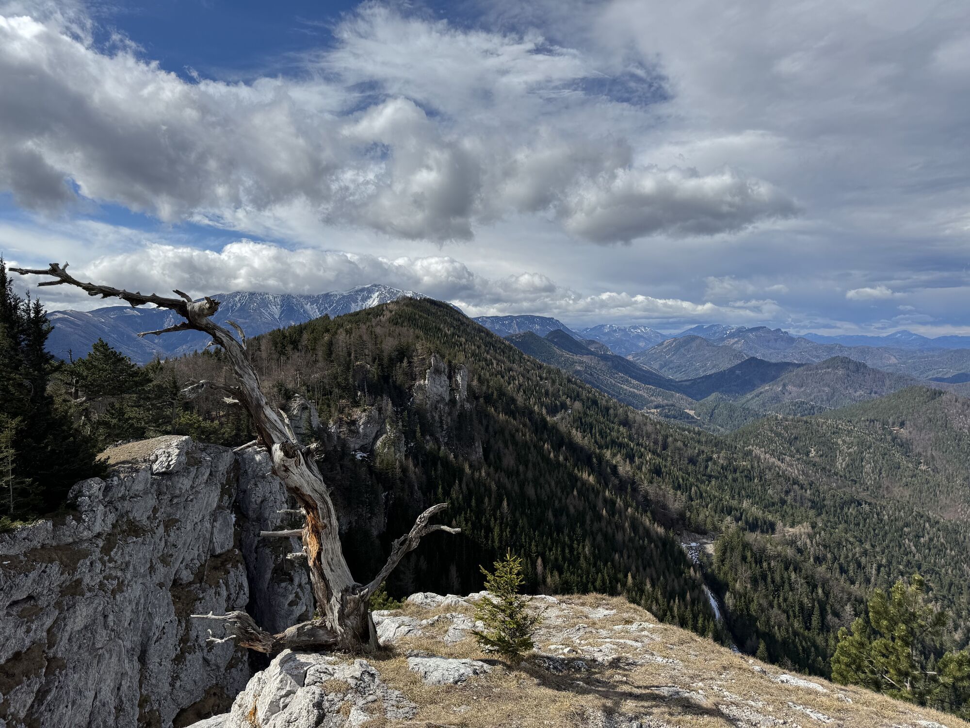


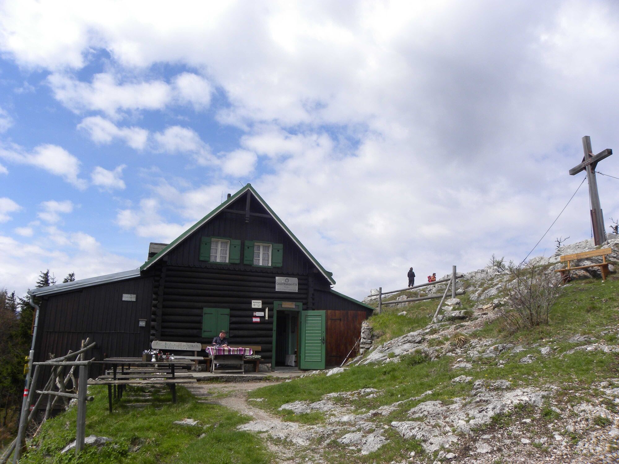
The Gauermannhütte is located directly at the Plattenstein summit on the Dürren Wand and is one of the most beautiful hiking destinations in the Gutensteiner Alps. At 1,154 meters elevation, you can enjoy...
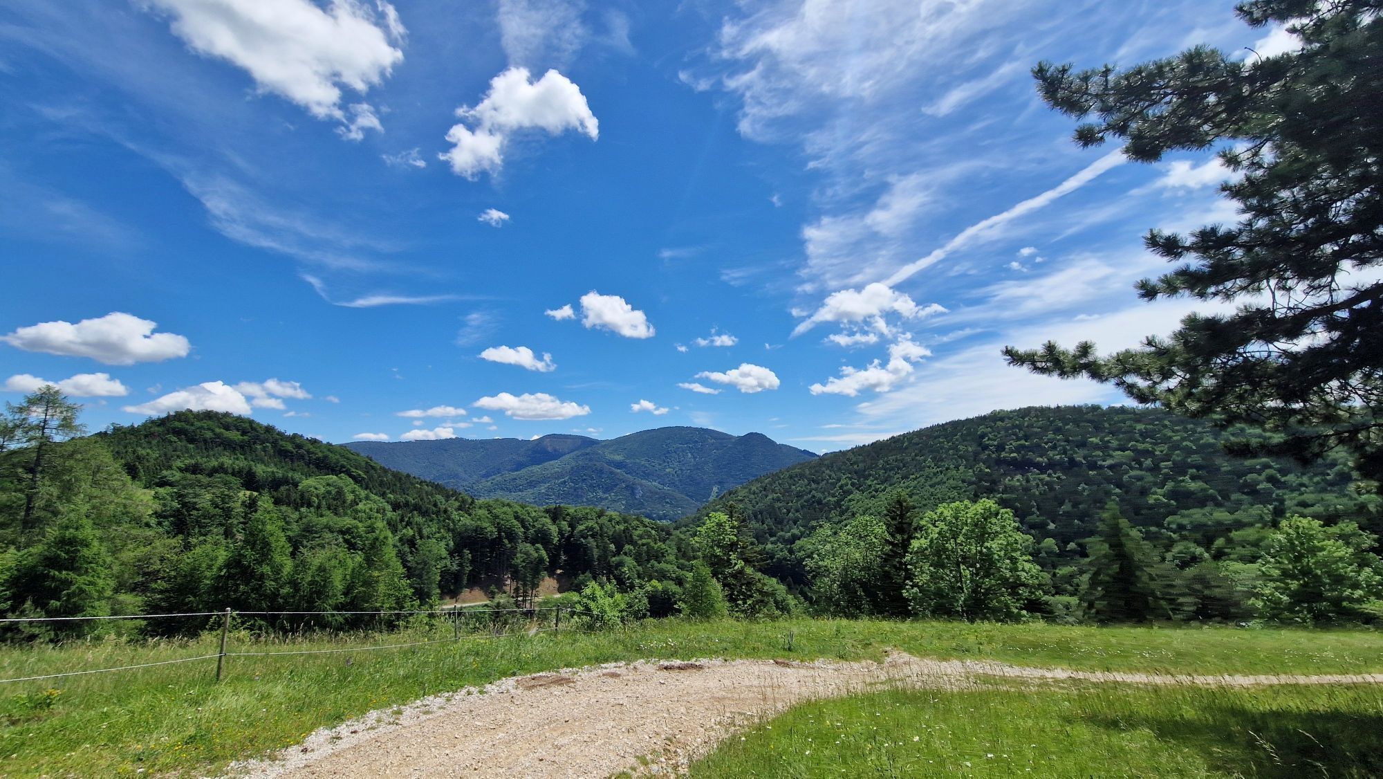
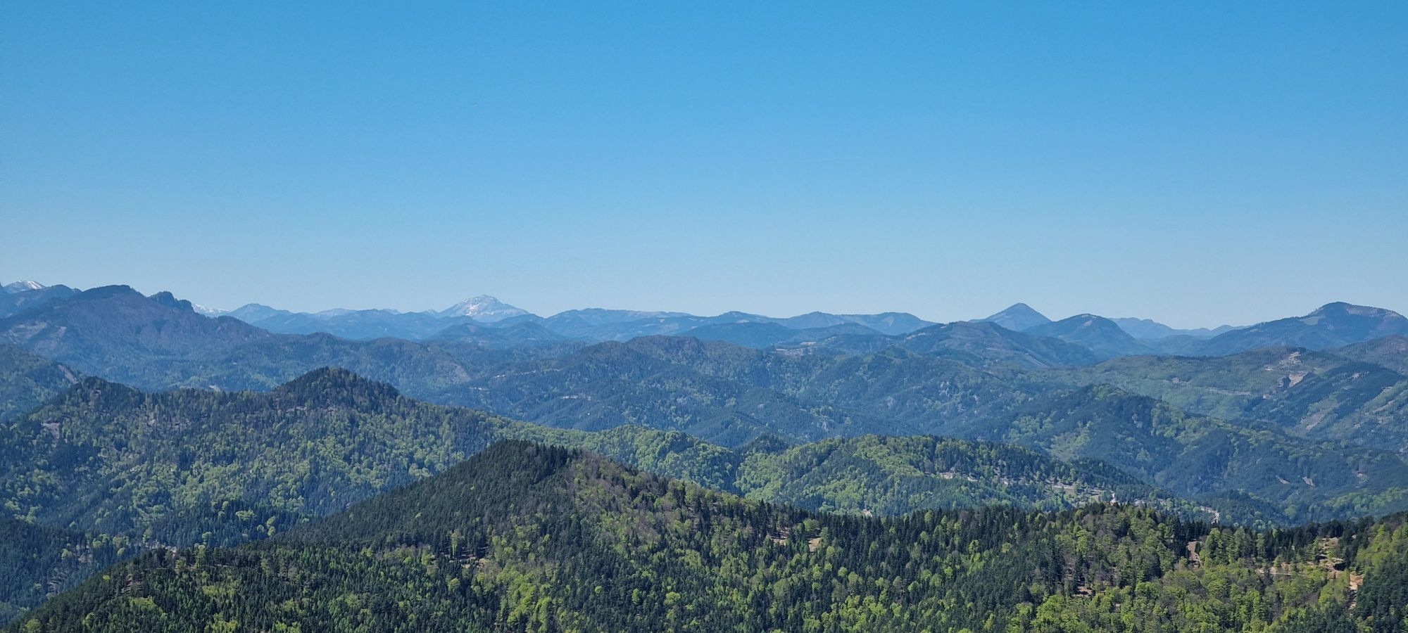
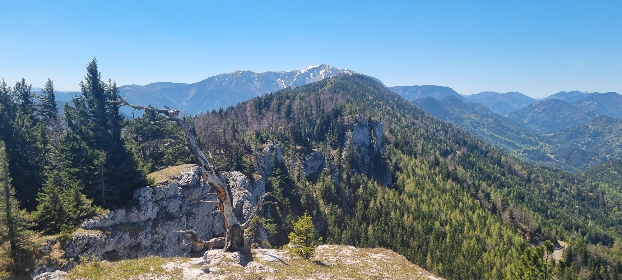
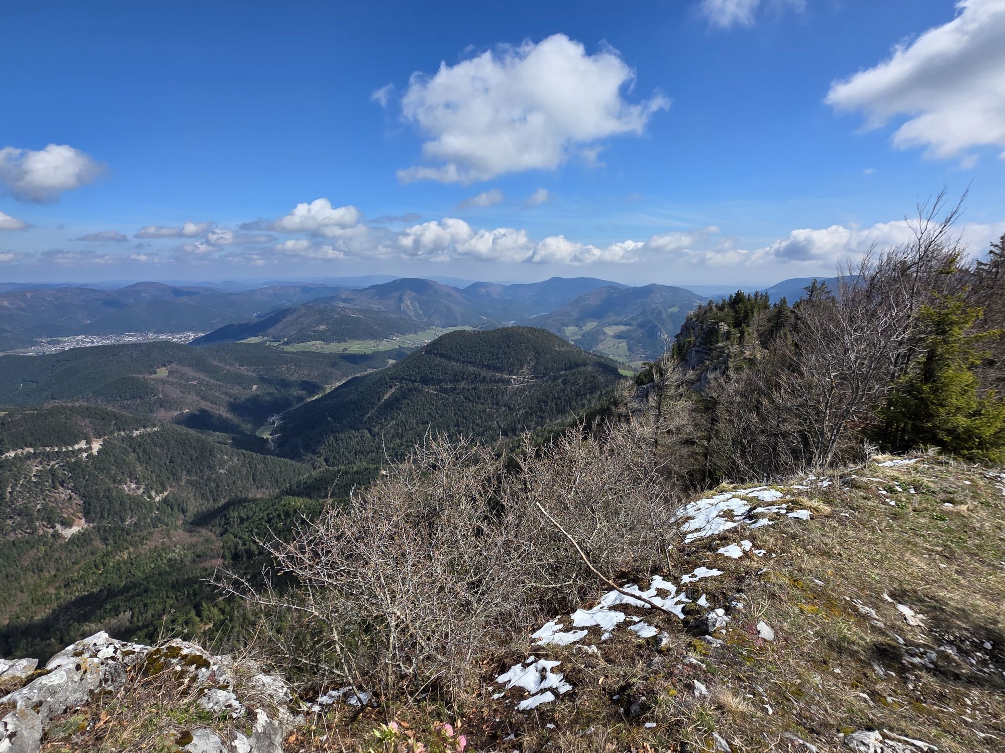
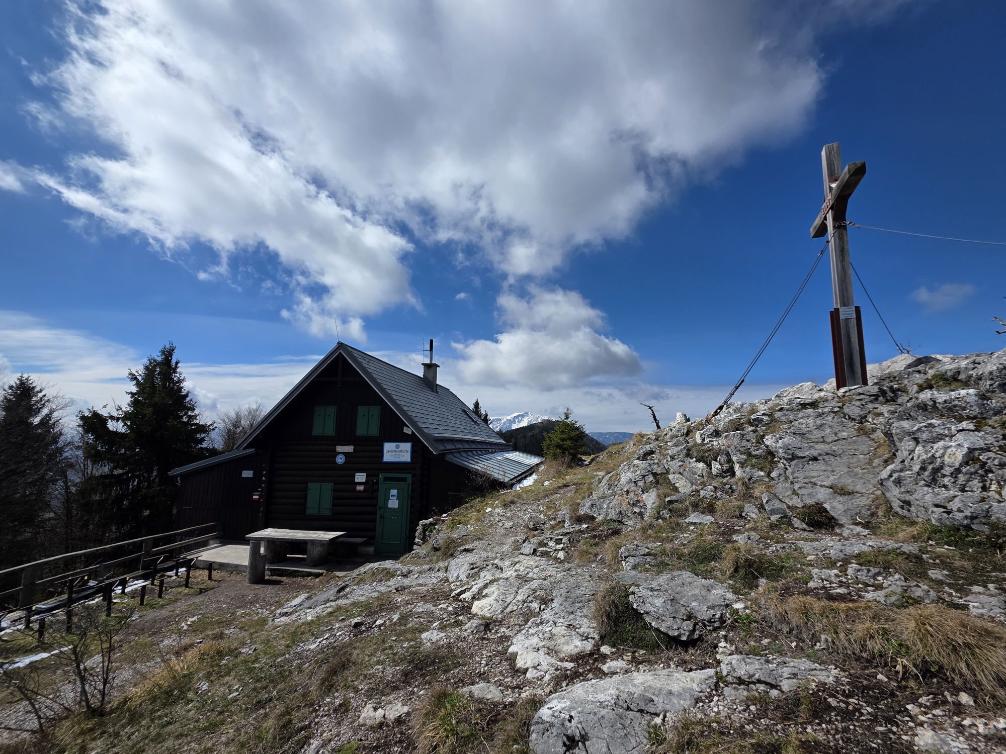
<p>The <strong>Gauermannhütte</strong> is located directly at the <strong>Plattenstein summit</strong> on the Dürren Wand and is one of the most beautiful hiking destinations in the Gutensteiner Alps. At 1,154 meters elevation, you can enjoy a breathtaking <strong>panoramic view</strong> of Schneeberg, Untersberg, and Ötscher. The cabin is easiest to reach from <strong>Miesenbach</strong> via the <strong>Gasthof Hornung</strong>. At a leisurely walking pace, it takes about 2.5 hours along the red-marked path up to the cabin. At the start of the hike, you are accompanied by the <strong>Haselbach</strong>, then continue on quiet forest trails and roads. During the well-deserved rest at the Gauermannhütte, for example, first-class lentils with dumplings and delicious roast pork are served. In Miesenbach, you should also visit the <strong>Gauermann Museum</strong>. Train travelers can also reach the cabin via a longer route from Miesenbach-Waidmannsfeld station.</p><p>From the cabin, you can continue hiking to the beautiful peaks of <strong>Schober</strong> and <strong>Öhler</strong> via the path on the Wiener Alpenbogen: Stage Öhlerschutz-Pernitz in the direction of Schneeberg.</p>

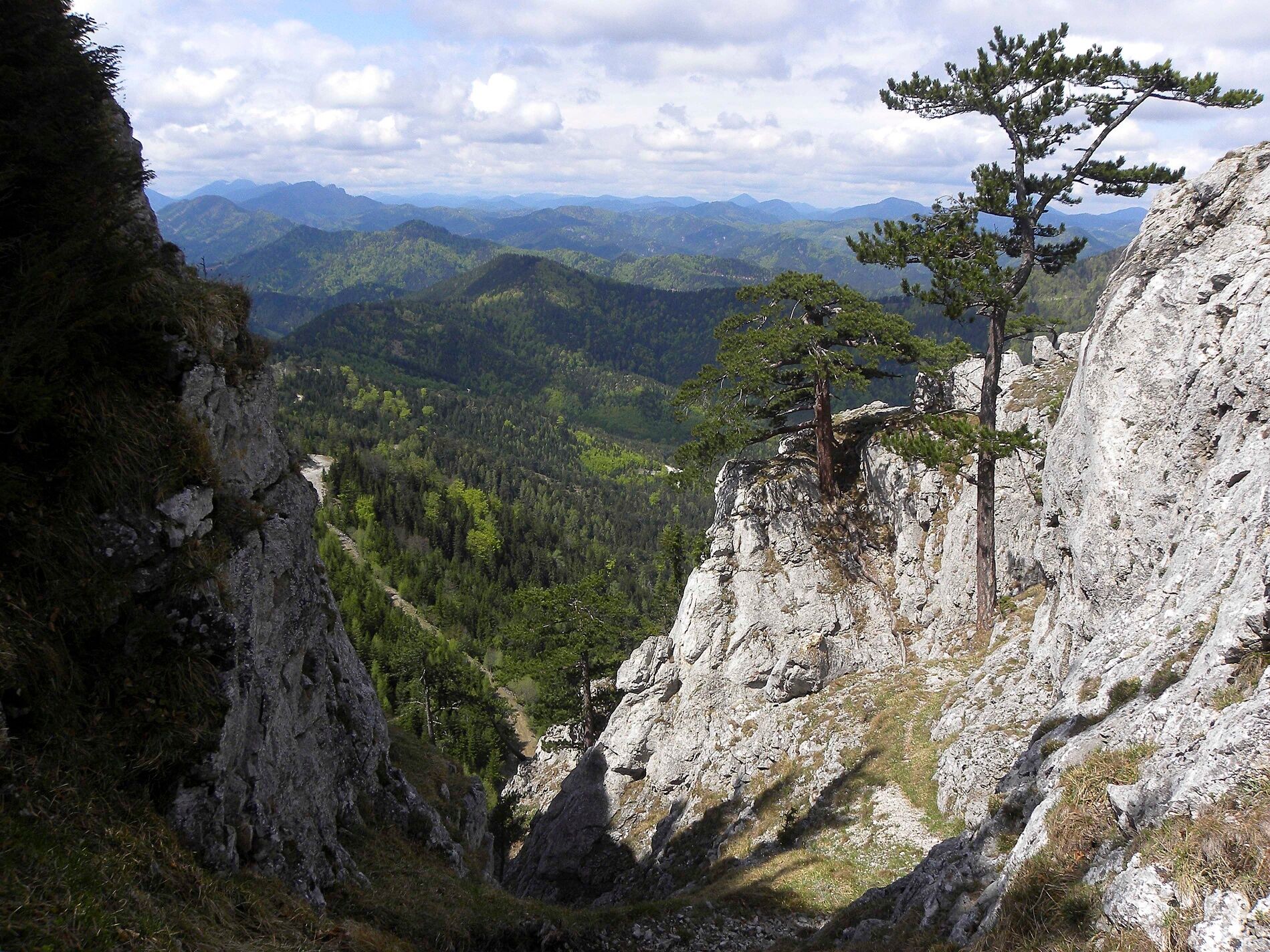
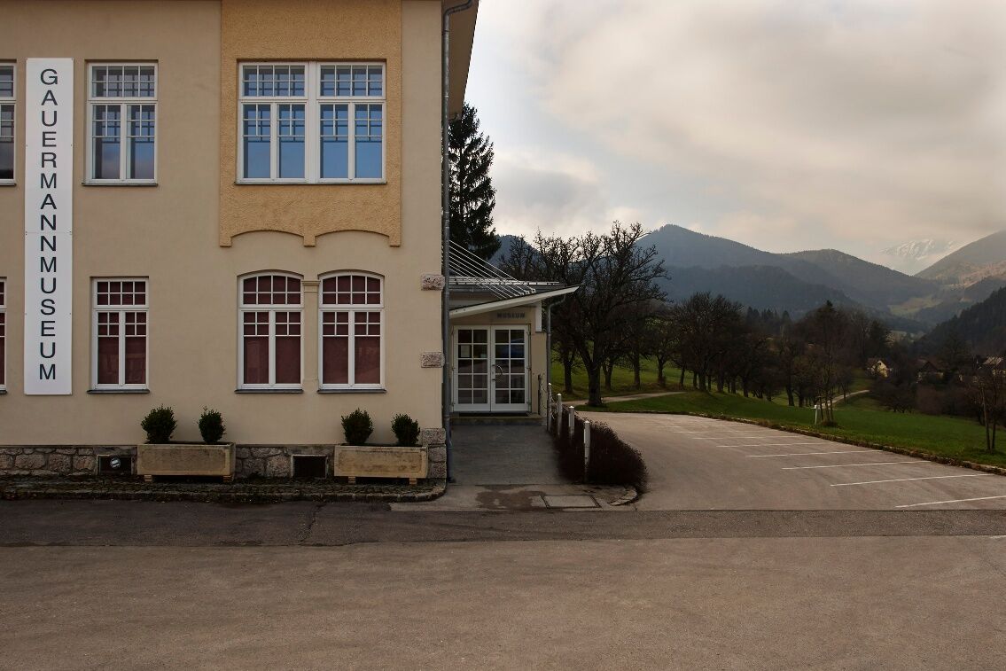
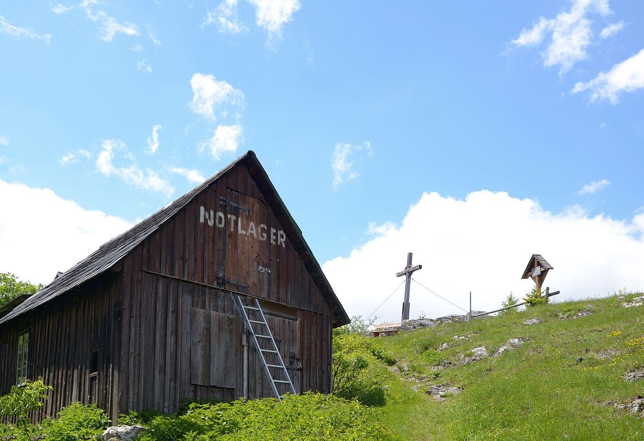

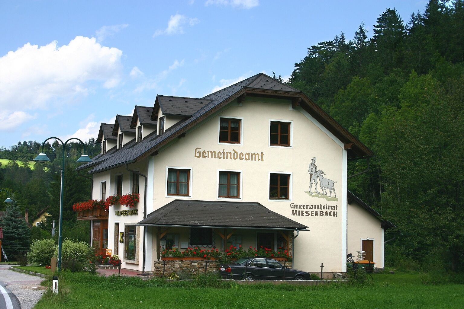

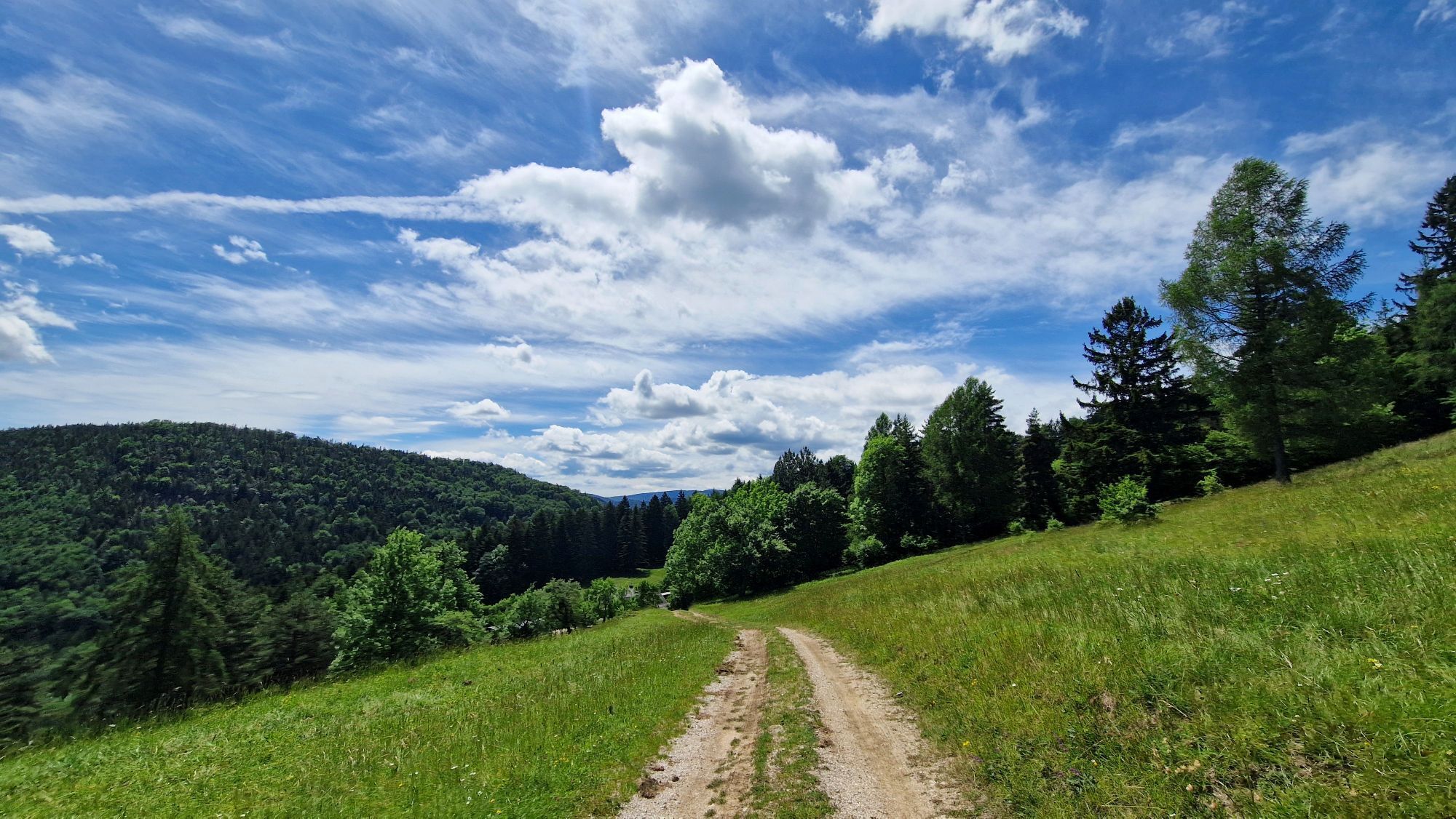
<p>Behind the Gasthof and Hotel Hornung we go up the street and turn onto the red-marked path after the curve. Following this path, we reach the street again along the Haselbach. We turn left uphill and continue along the street by the Haselbach. At the intersection, we go straight ahead towards Tiefenbach. After about 500 meters, we turn right into the dead-end street. The street leads us to a path. At Haselbauer, we keep going straight and then always stay left on the so-called Ochsenweg until we finally come back to a street. We follow this for a short distance and then turn right onto the path going up to Plattenstein and the Gauermannhütte.</p>
<p>Always take suitable <strong>maps</strong> with you. Wear sturdy <strong>shoes</strong> adapted to the route, bring sun and rain protection as well as water and a small snack. Take your <strong>mobile phone</strong> with you and save the mountain rescue emergency number: 140</p>
<p>Your hikes in the Vienna Alps should be a completely beautiful and safe experience. Please note the following:</p><p><strong>Preparation </strong></p><p>Make sure that the route you choose matches your experience and <strong>fitness</strong>. Check the <strong>weather report</strong> in advance. The weather in the mountains can change surprisingly quickly. Therefore, always start out appropriately equipped (e.g., rain protection).</p><p>Check whether the <strong>cabins and snack stations</strong> you want to visit along the way are open. <strong>Inform</strong> someone about your chosen route and your planned return before you set out.</p><p>More safety tips for your hike can be found <a href="www.wieneralpen.at/sicherheit-am-berg...
<p>Take the A2 to the Wöllersdorf exit. Keep right at the fork and continue on Gutensteiner Straße/B21. Drive on Gutensteiner Straße/B21. At Miesenbach-Waidmannsfeld station, turn left onto Reichental. Continue on L138 to Miesenbach. Gasthof Hornung is on the right.</p>
<p>From Wiener Neustadt main station, you can reach Puchberg am Schneeberg by train or bus. From there, take regional bus 7847 to the Miesenbach Gasthof Hornung stop.</p><p>You can also reach bus 7847 from Miesenbach-Waidmannsfeld station via regional train (direction Gutenstein) or from the Reichental Astasiedlung stop via regional bus (direction Gutenstein Markt).</p><p>More information at <a href="www.vor.at">www.vor.at</a> and <a href="www.oebb.at">www.oebb.at</...
<p>Attention: Limited parking spaces at Gasthof Hornung! Please also use the parking lot at the address "Tiefenbach 31"</p>
Vienna Alps in Lower Austria, www.wieneralpen.at, +43 / 2622 / 78960
Combine your hike with a stay in the Schneebergland! For example, at the country inn "Zur Schubertlinde" in Grünbach.
Infórmate
Siempre en directo con más de 9.500 webcams. bergfex Como usuario Pro, ahora puede ver las webcams correspondientes a muchos tours en la app de tours desde. Esto le permite ver las condiciones actuales directamente.
Rutas populares en los alrededores
-
4,6
Losenheim: Edelweißhütte - Fadensteig - Fischerhütte
medioSenderismo 11,5 km -
4,7
Zahnradbahn und Wandern am Schneeberg - Plateauwanderung
medioSenderismo 6,90 km -
4,9
Insider tip: Schneeberg via the Novembergrat
pesadoSenderismo 13,5 km -
4,9
SCHNEEBERG Losenheim Nandlgrat Klosterwappen Fadenweg 28.09.2017
pesadoSenderismo 15 km -
4,8
Flatzer Wand Wanderung
luzSenderismo 5,62 km -
4,8
"Krummbachstein 1602m" - Eng - Payerbach - Rundwanderweg
medioSenderismo 24,8 km -
4,8
ÖTK Klettersteig (vormals HTL Klettersteig) und Blutspur (D/E)
pesadoVía ferrata 1,41 km -
4,8
Hohe Wand: Babygrat (1+), Rundwanderung und Wagnersteig (A)
pesadoSenderismo 11,8 km -
4,8
Hohe Wand Wagnersteig - Springlessteig
medioSenderismo 5,59 km -
4,8
Losenheim - Maumauwiesen - Sebastianfall - Losenheim
medioSenderismo 8,32 km
Senderismo y rastreo


No se pierda las ofertas y la inspiración para sus próximas vacaciones
Su dirección de correo electrónico se ha añadido a la lista de correo.





