






Insider tip: Schneeberg via the Novembergrat

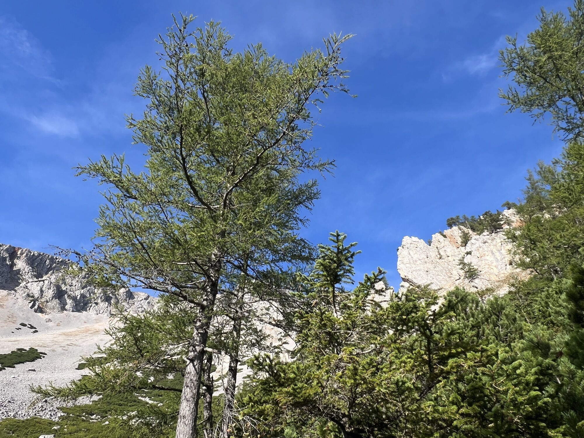
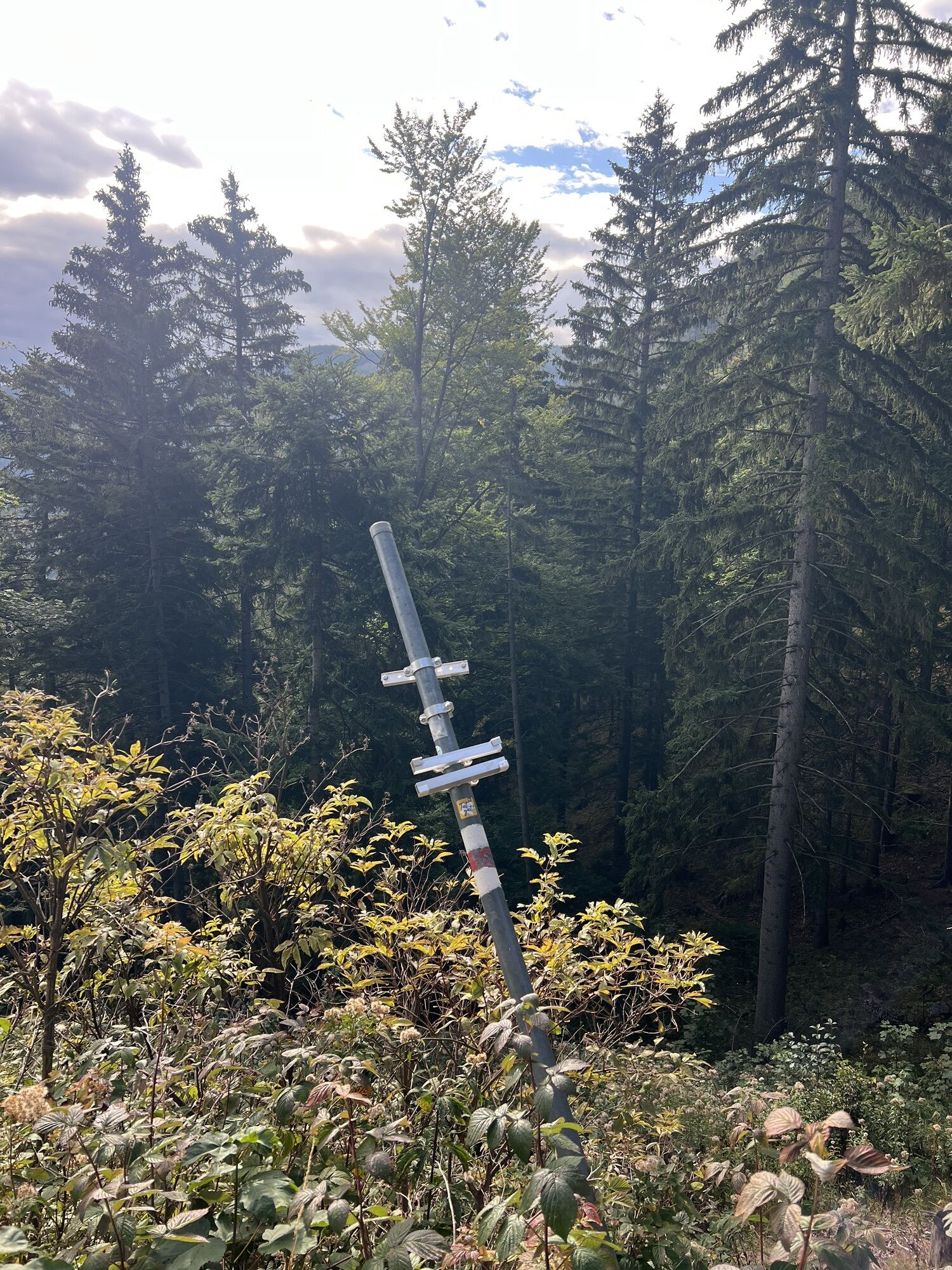
Immediately after the parking lot, the path leads directly past the reservoir. At the first fork in the road, it is best to keep left and follow the signs to "Breite Ries". The next approx. 2 km (1.2 mi)...
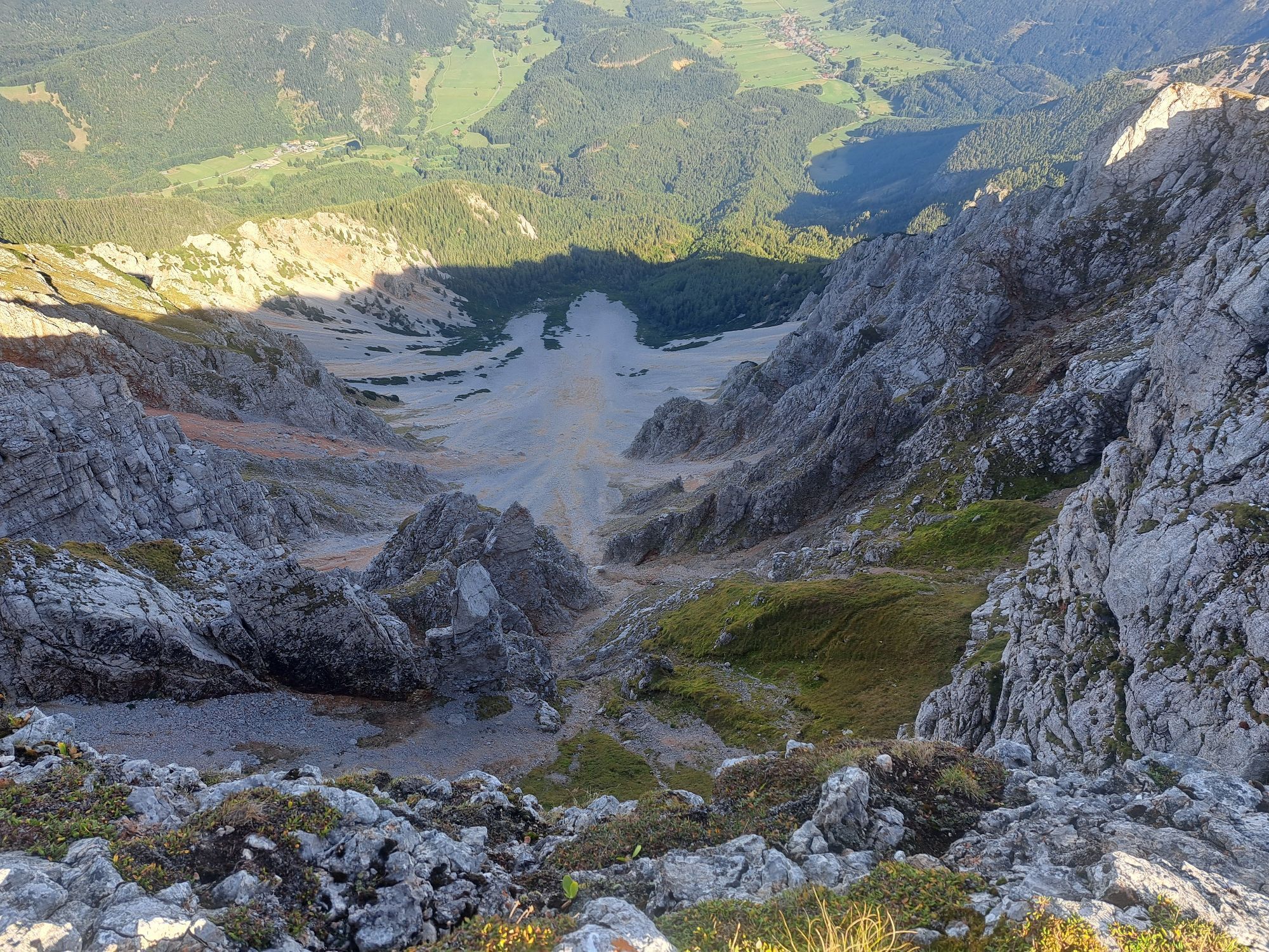
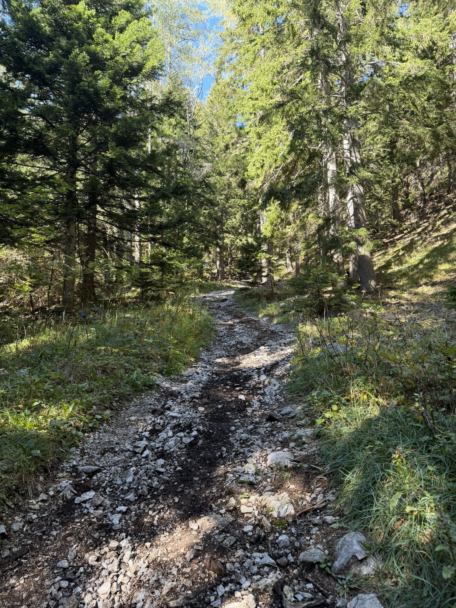
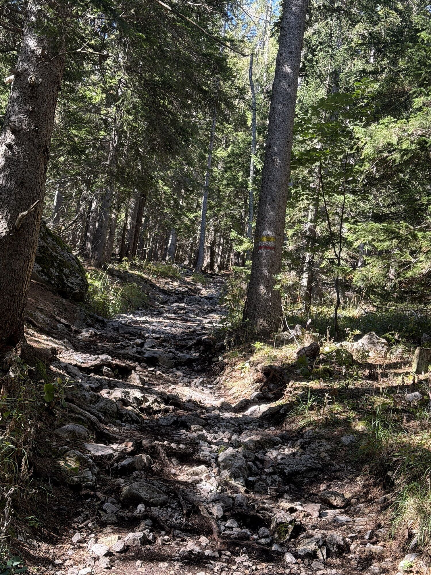
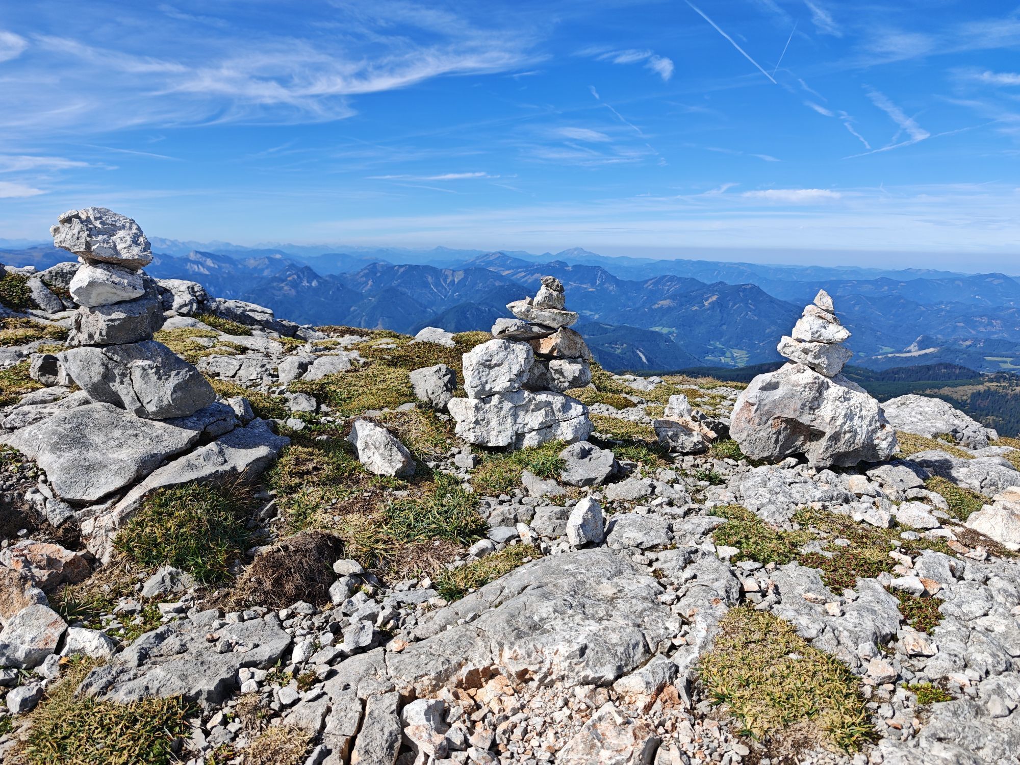
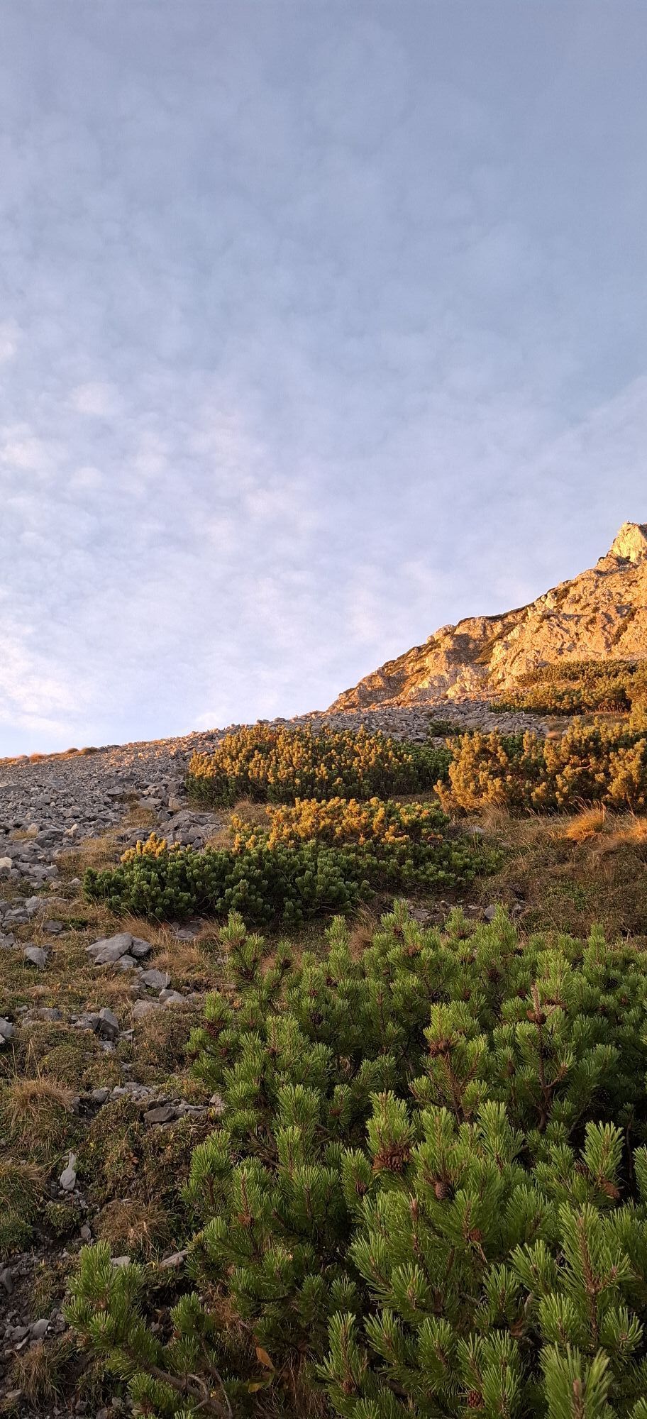
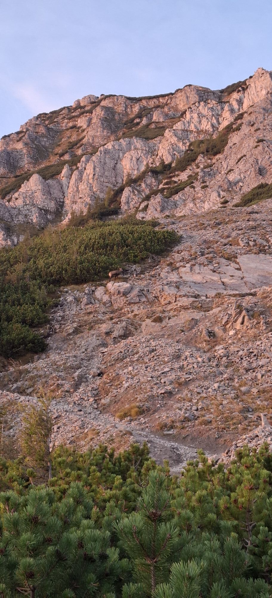
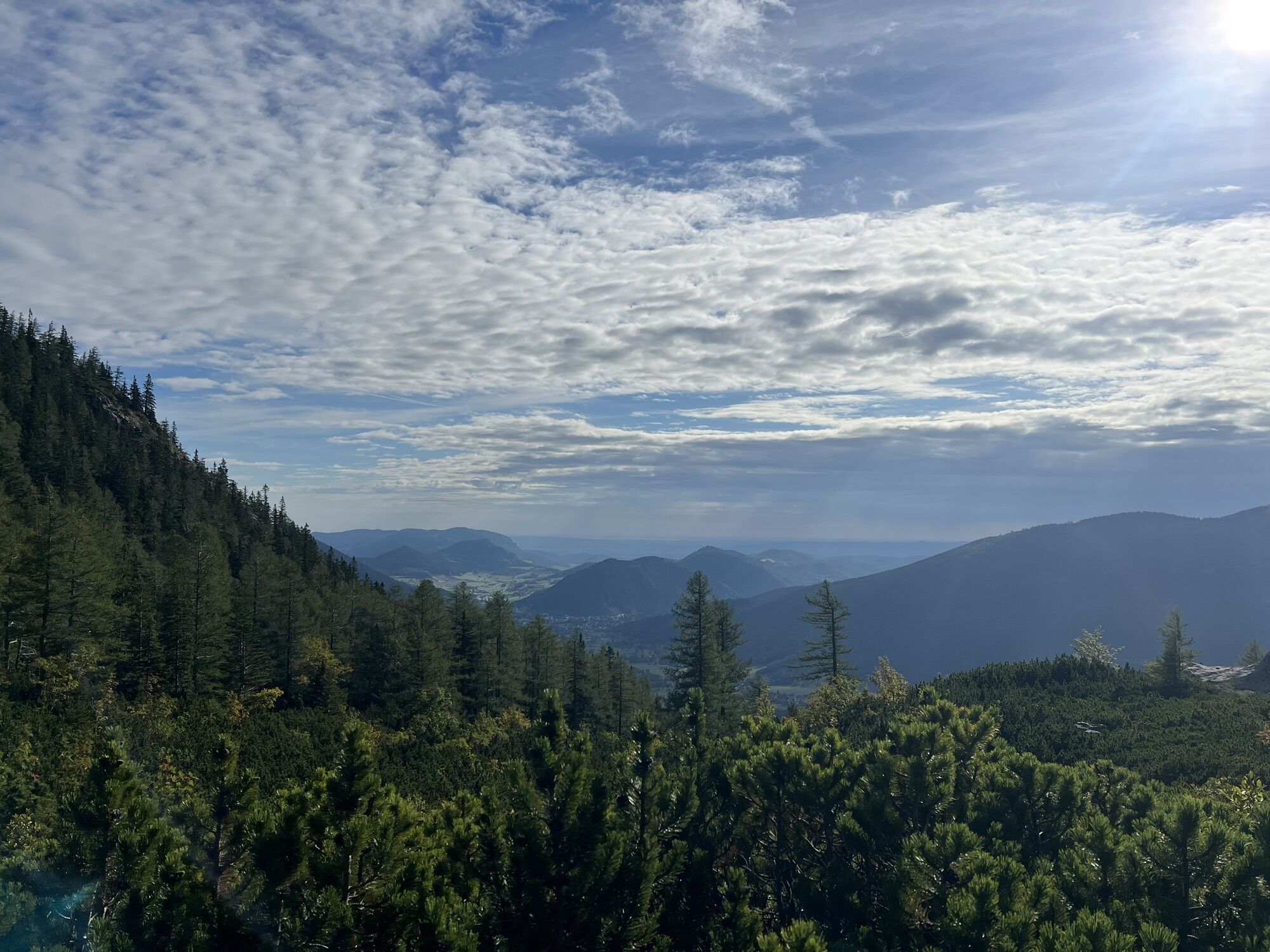
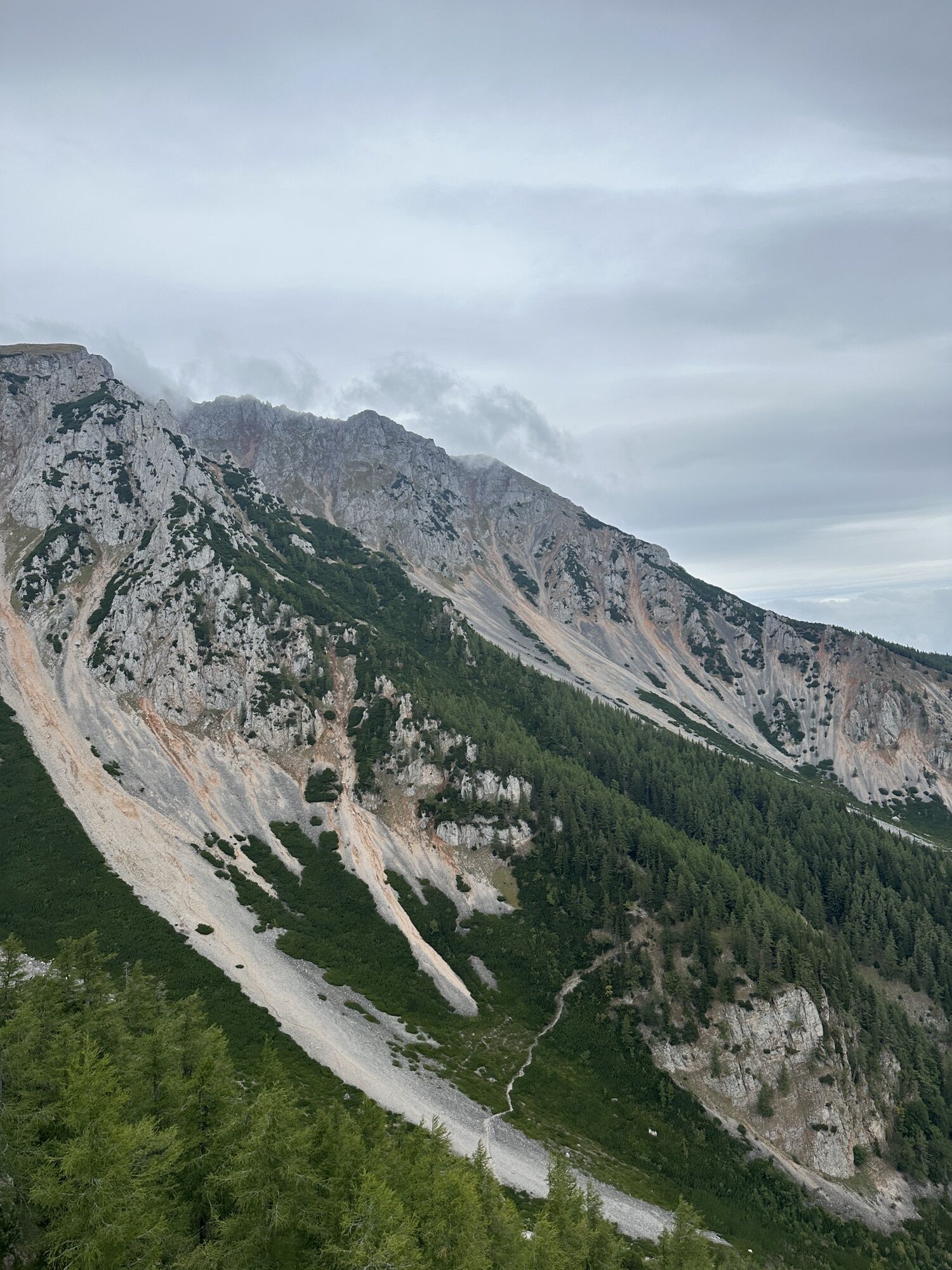
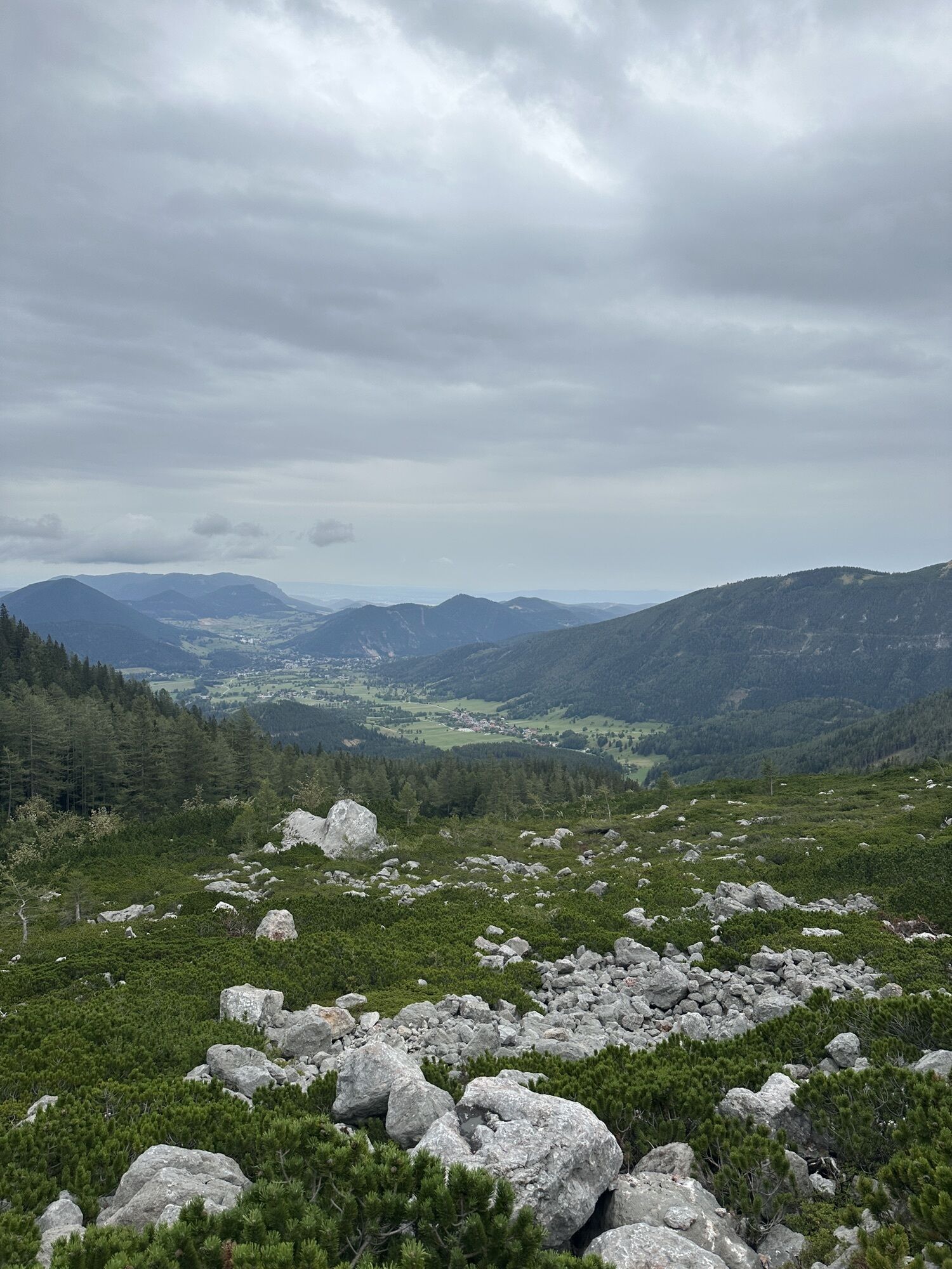
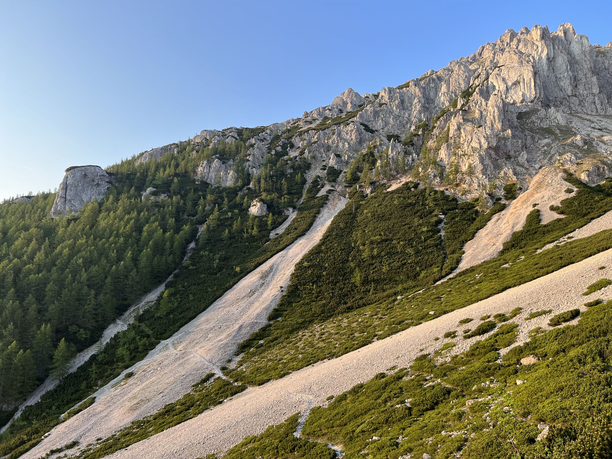
Immediately after the parking lot, the path leads directly past the reservoir. At the first fork in the road, it is best to keep left and follow the signs to "Breite Ries". The next approx. 2 km (1.2 mi) along the gravel road are more like a leisurely stroll. Ultimately, the gravel path leads into a hiking trail. This now leads noticeably steeper up through the forest and finally ends in the so-called "Nördlicher Grafensteig". Keep left at the crossing and follow the path in the direction of "Breite Ries" and "Nandlgrat". It doesn't take long before the forest clears and the largest gravel field on the Schneeberg, the "Breite Ries", seems to block the way. The path over the scree field requires a certain amount of caution, but does not present any major difficulties. The path then continues through the forest, only to end up again a few minutes later on a scree field, the "Krumme Ries". The path over the scree field is clearly visible and on the other side the Novembergrat with its characteristic rock towers is already rising. After overcoming the "Krumme Ries", the hiking trail once again takes a long curve through the forest. Finally, a lookout point is reached, the "Sitzstatt", which not only invites you to take a short break but also marks the point on the northern Grafensteig where the Novembergrat branches off to the right. Now the actual ascent begins.
Ascent via the Novermbergrat
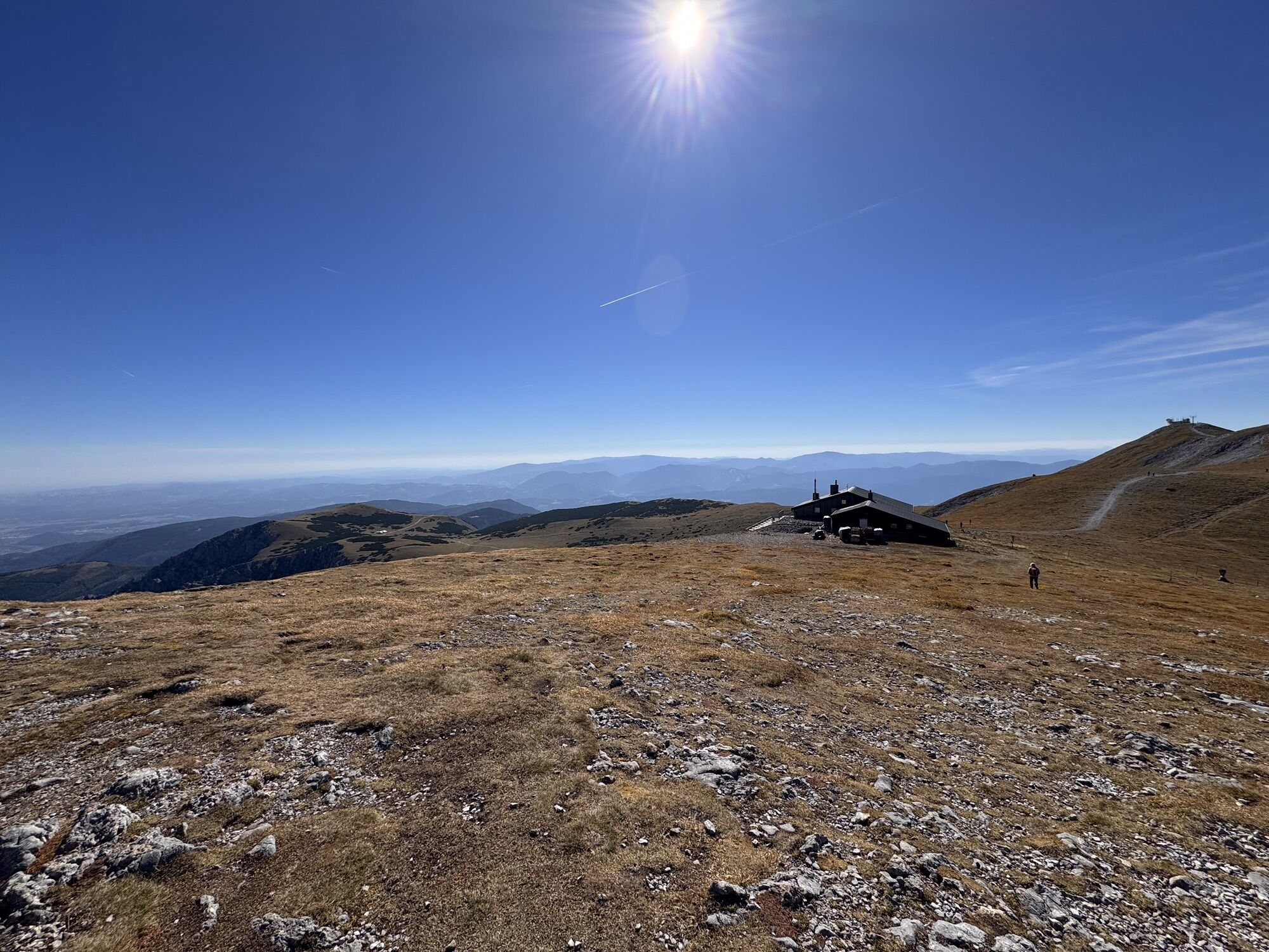
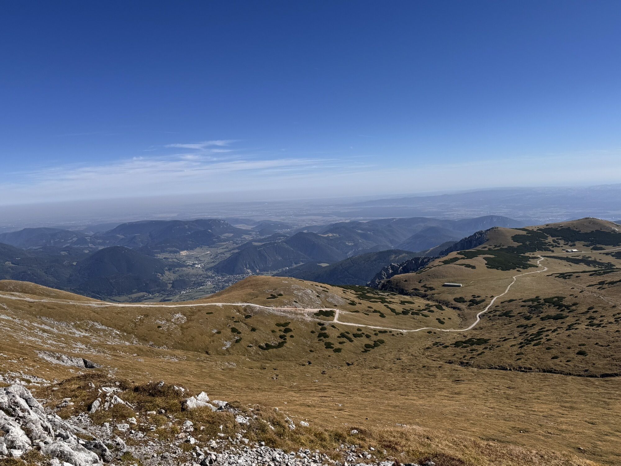
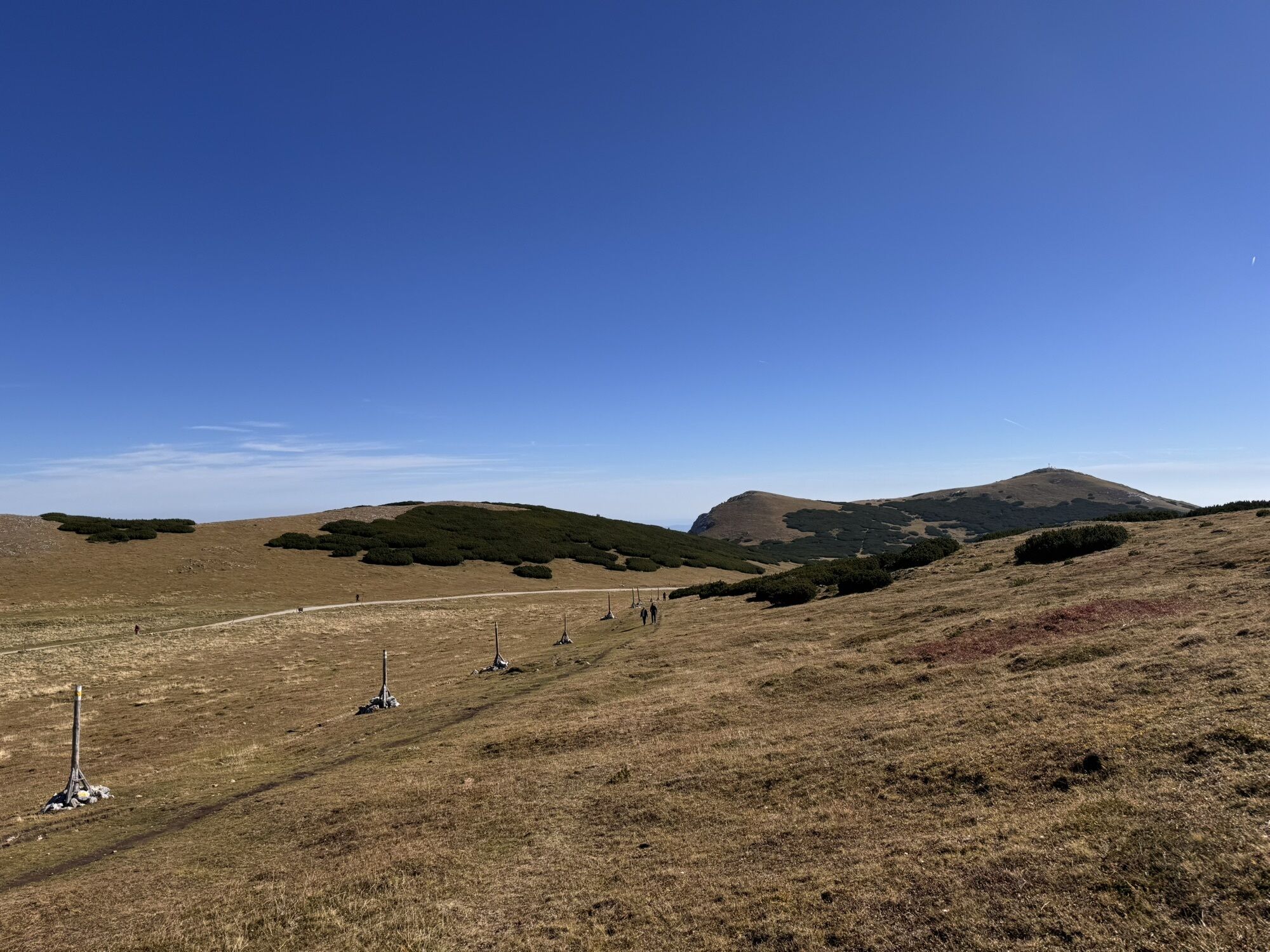
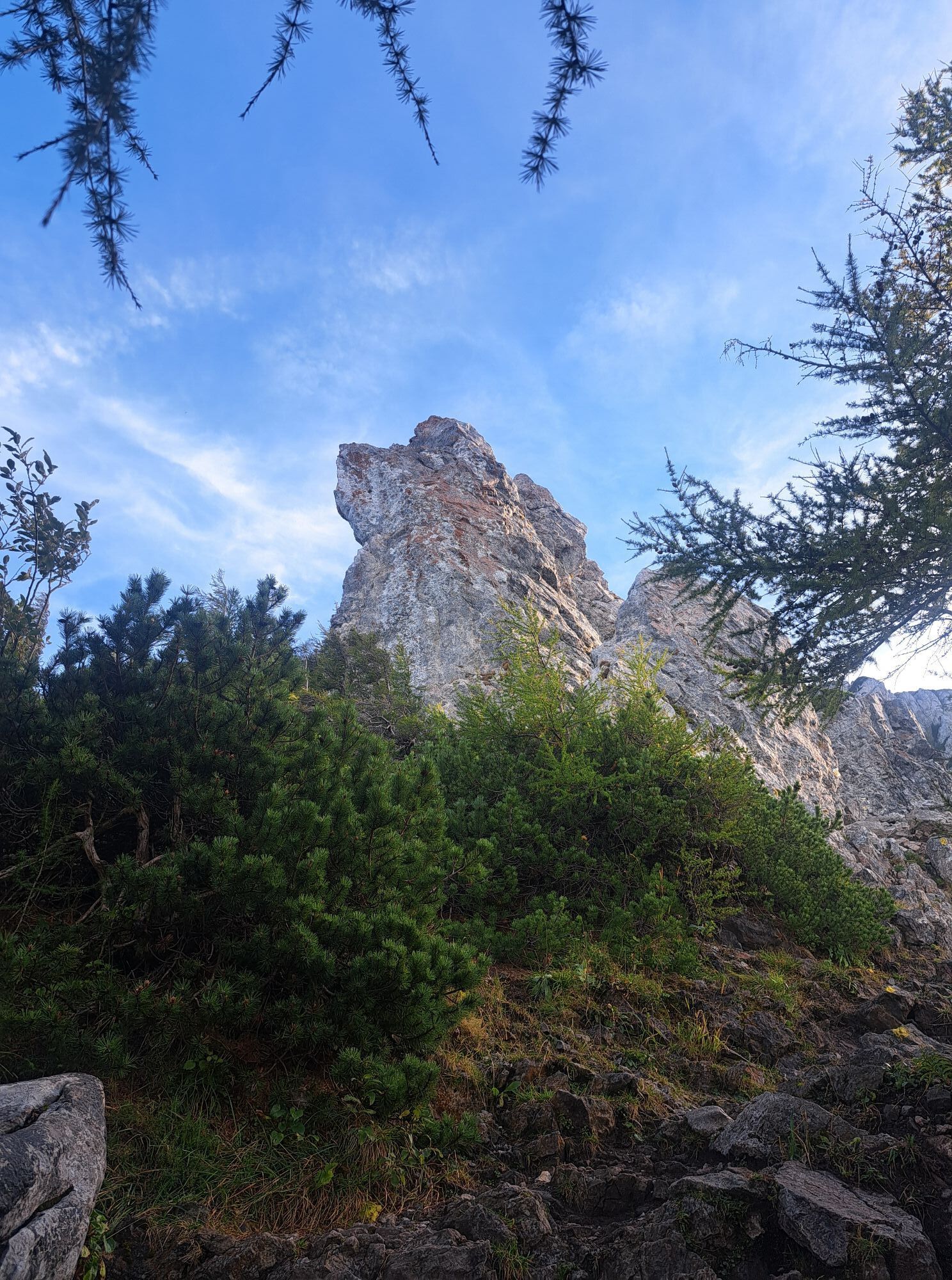
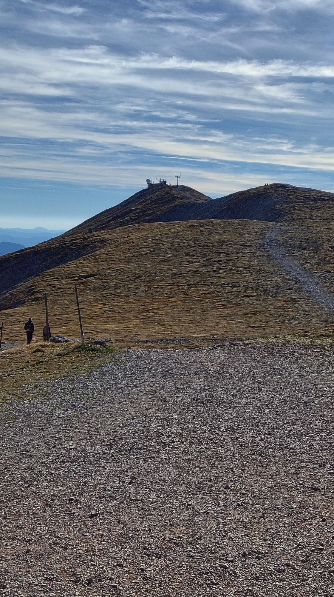
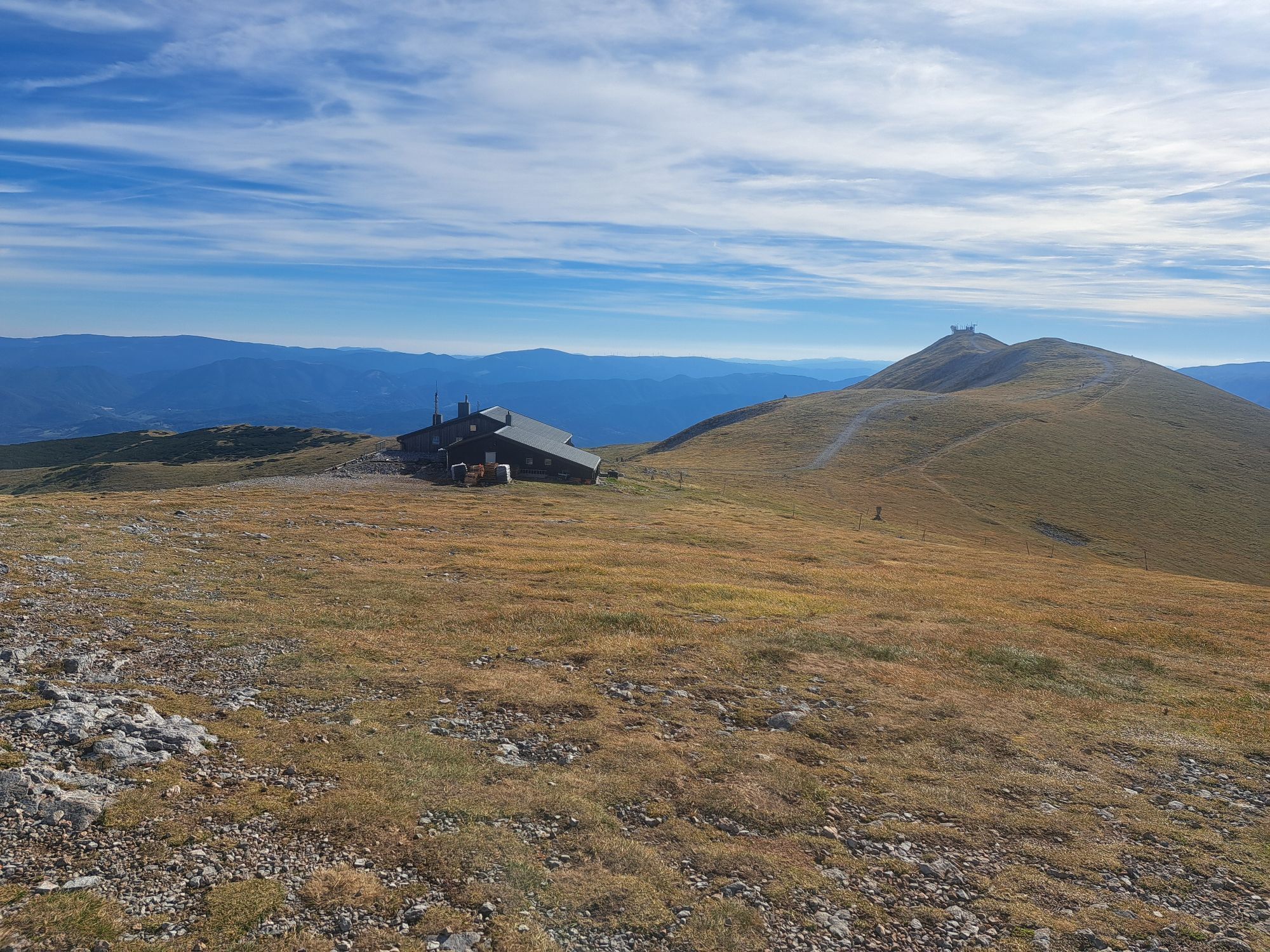
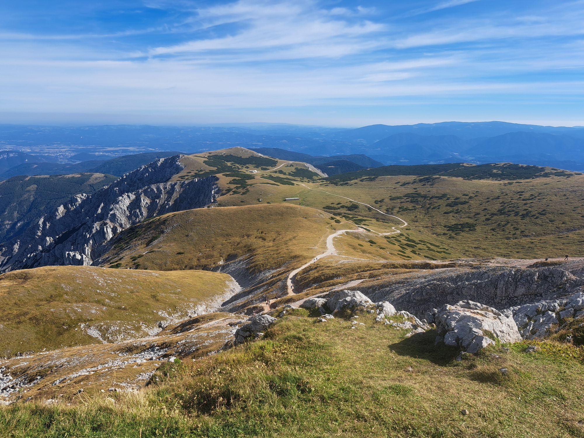
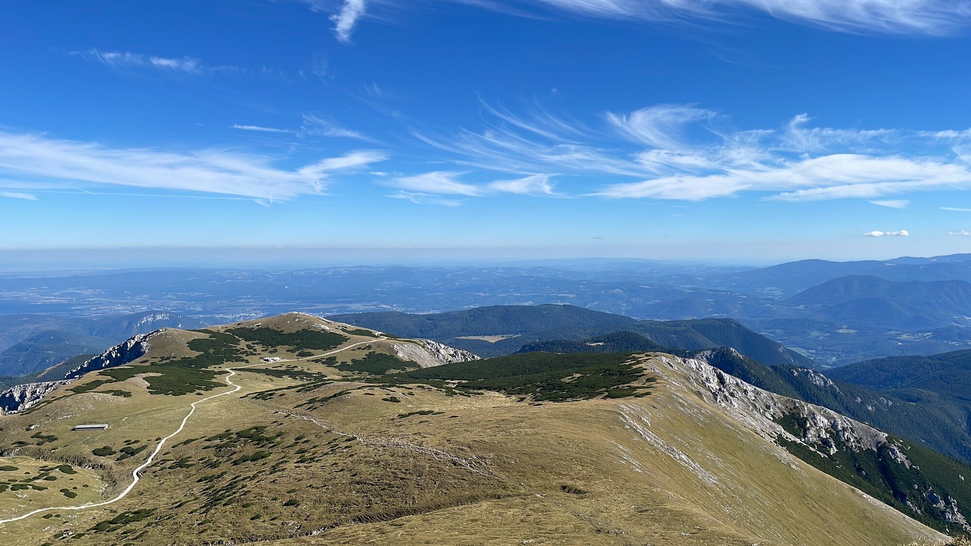
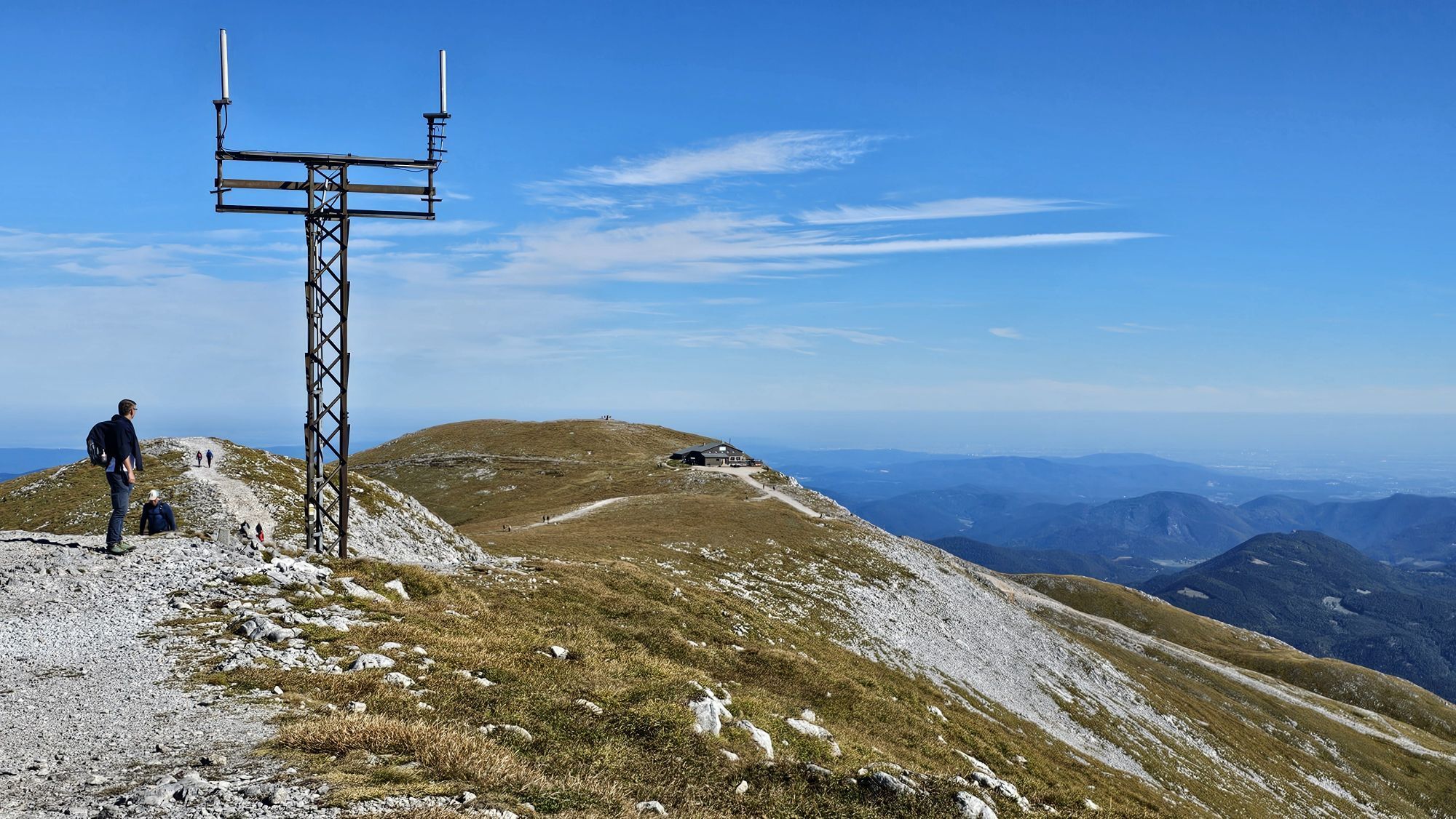
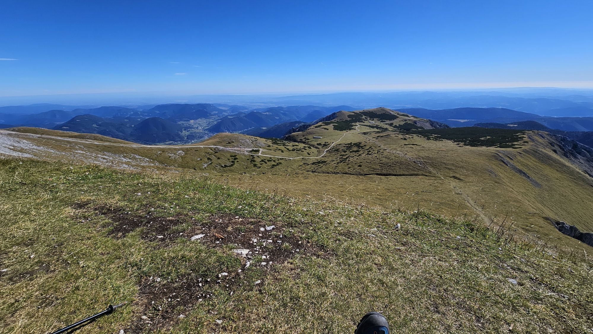
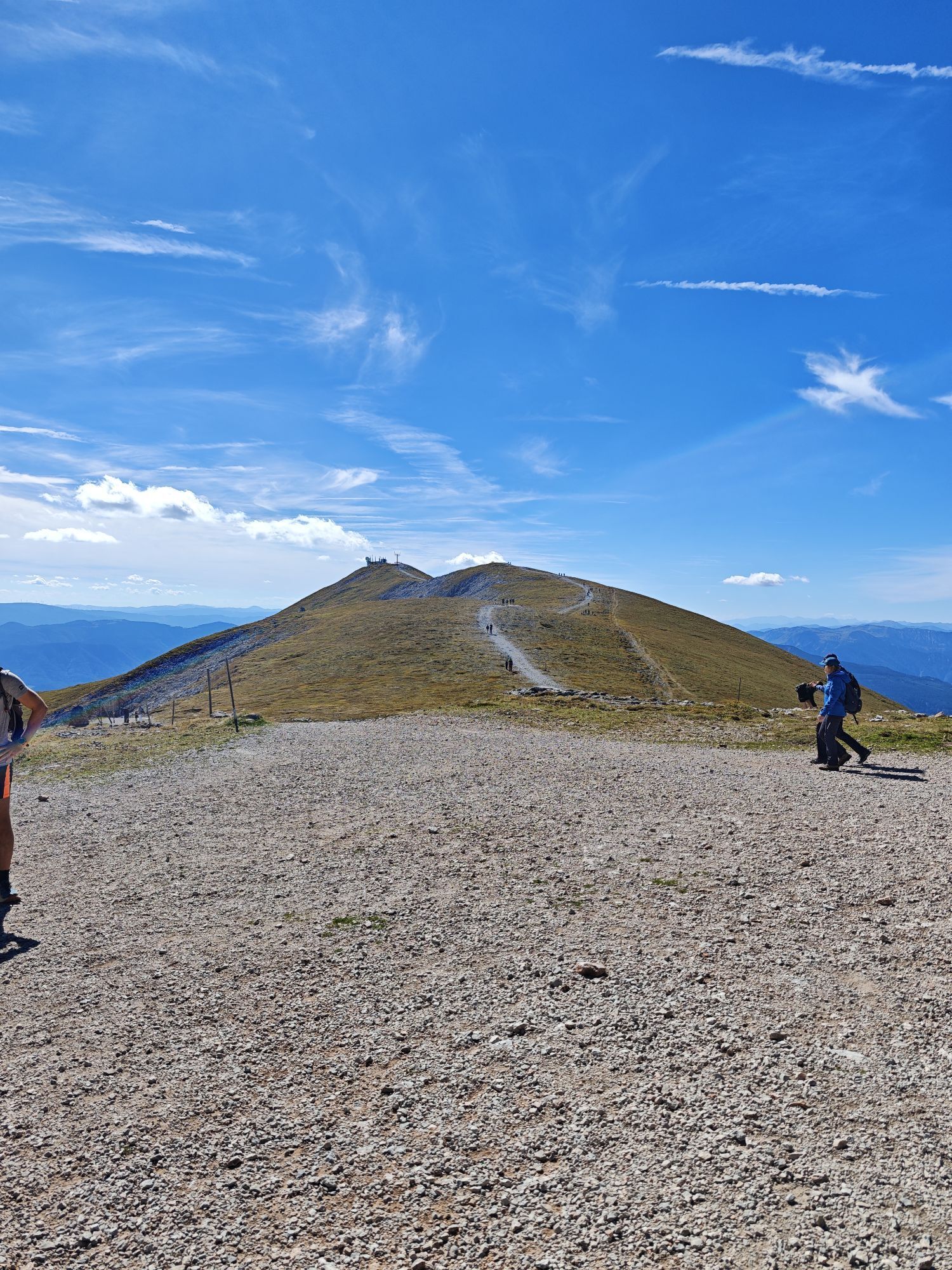
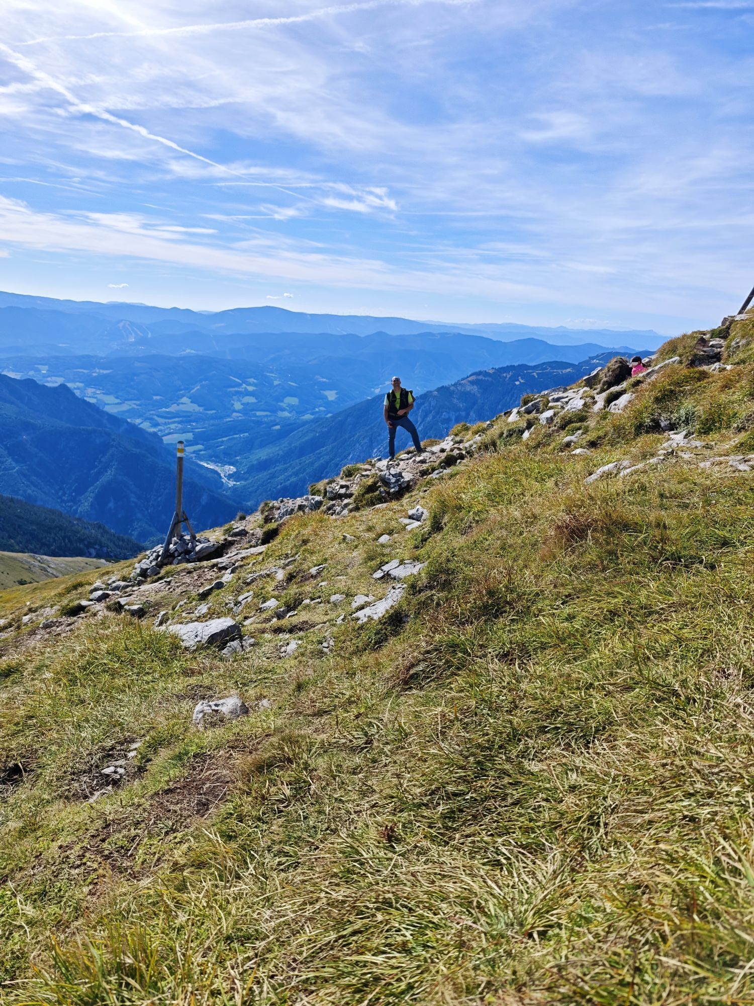
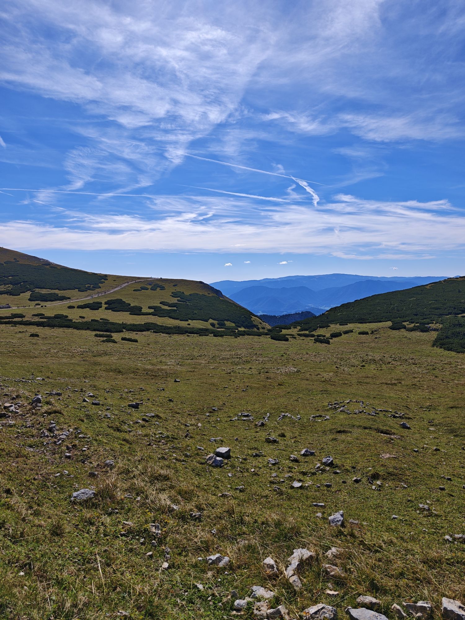
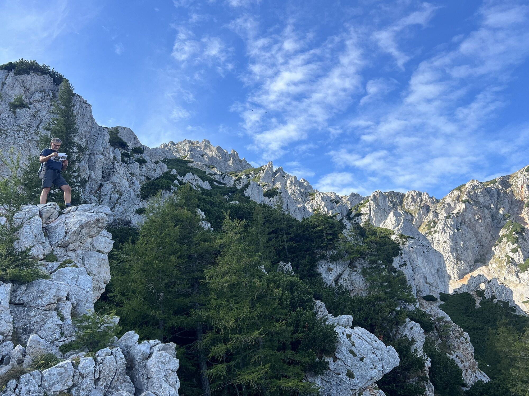
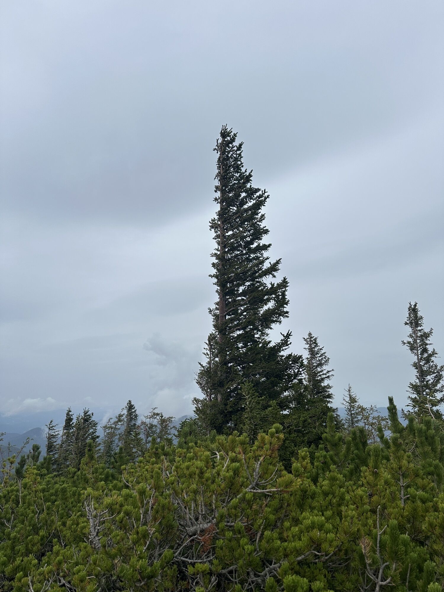
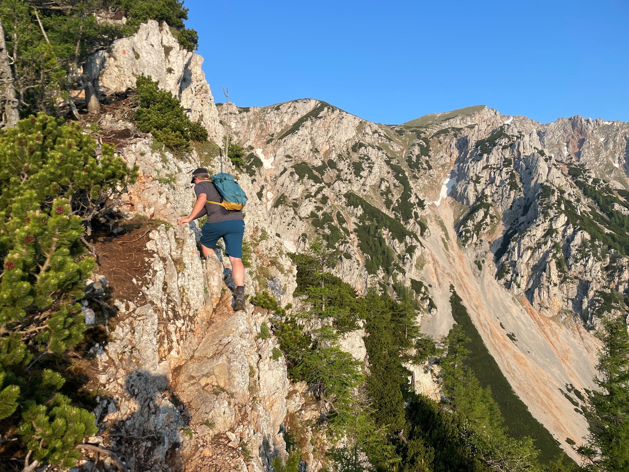
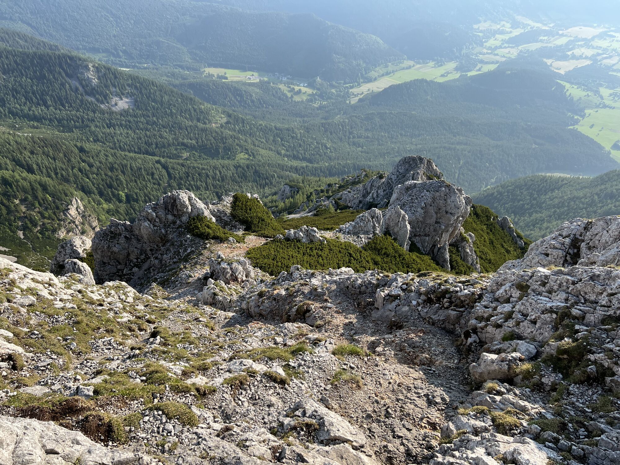
The path becomes noticeably rockier and, above all, steeper. In the course of preparing for this tour, the impression arose that the marking of the path is not very good. In fact, finding the way didn't prove to be particularly challenging. Some of the red markers were a bit faded, but still clearly recognizable. However, the Noverberggrat fulfills the expectations of an enjoyable ascent in the 1st grade of difficulty (UIAA). Again and again the hands have to be used to climb one or the other rock step. The number of really exposed places is limited, although a head for heights and sure-footedness are of course among the requirements of this tour. After 2.5 to 3 hours, the exit of the Novermberggrat and thus the high plateau is reached. The path through the dwarf pine terrain can easily be lost from sight. Nevertheless, it shouldn't be a problem to reach the gravel path quickly, which is often used by crowds of tourists during the day, who have come up the mountain with the Schneebergbahn and enjoy the surrounding mountains as part of a hike over the high plateau.
Klosterwappen
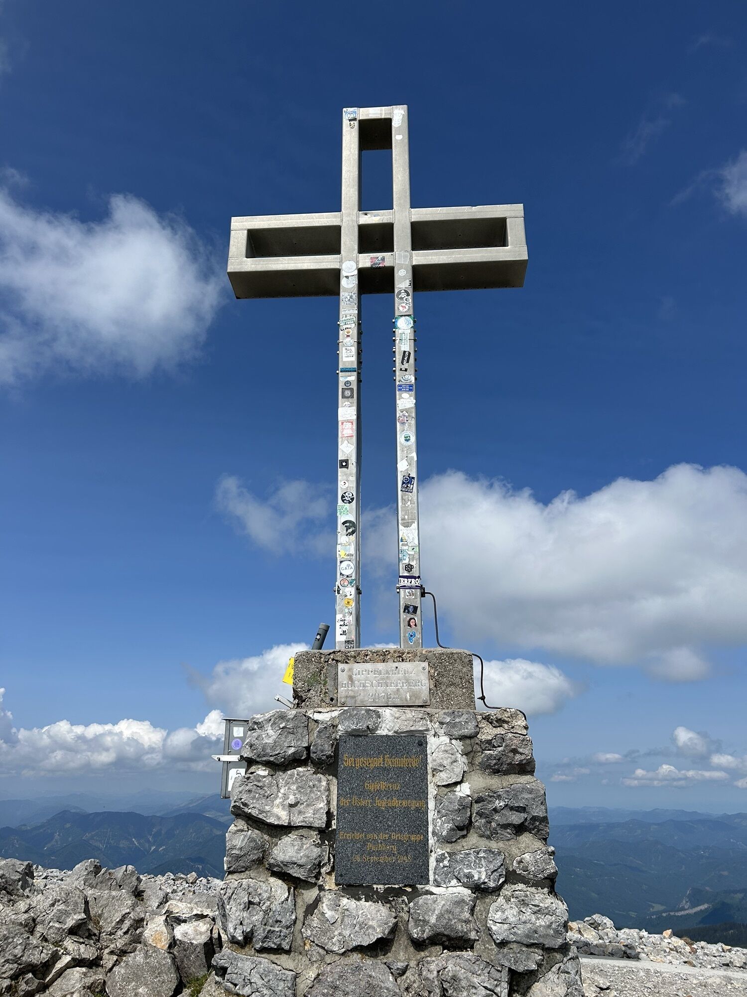
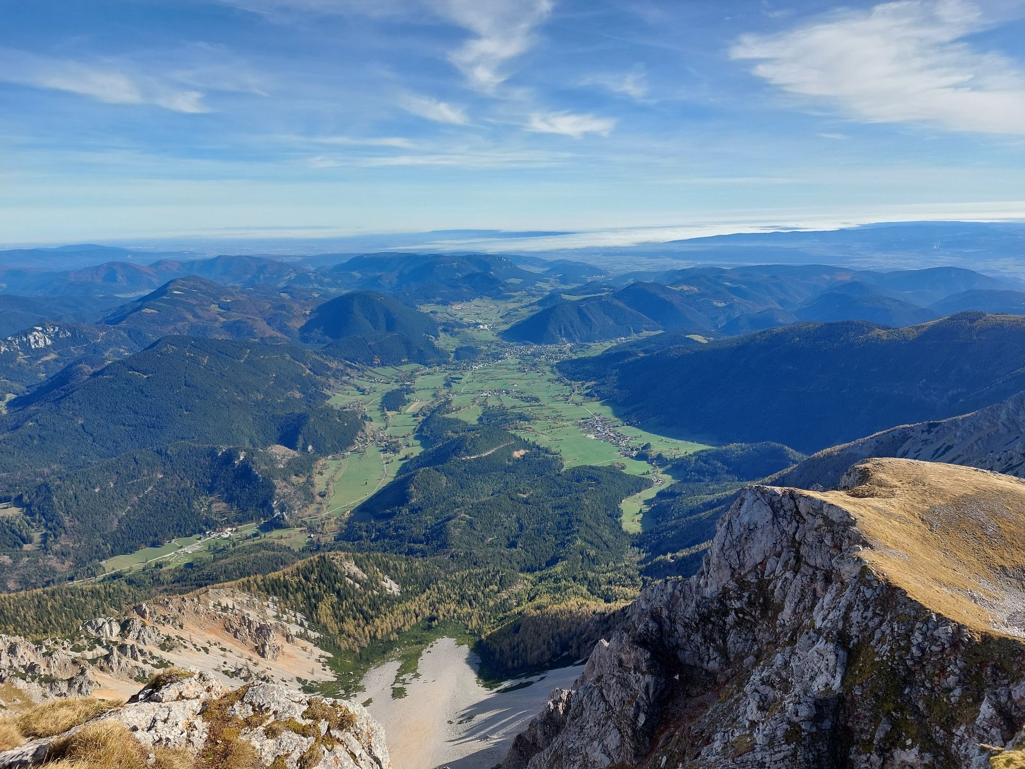
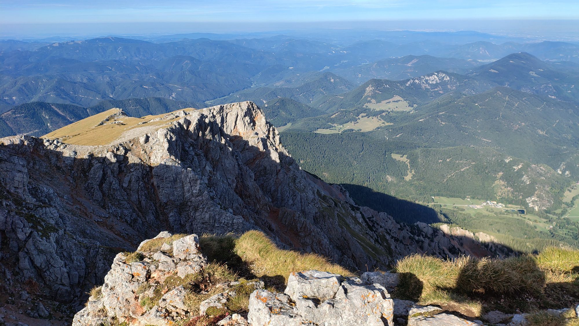
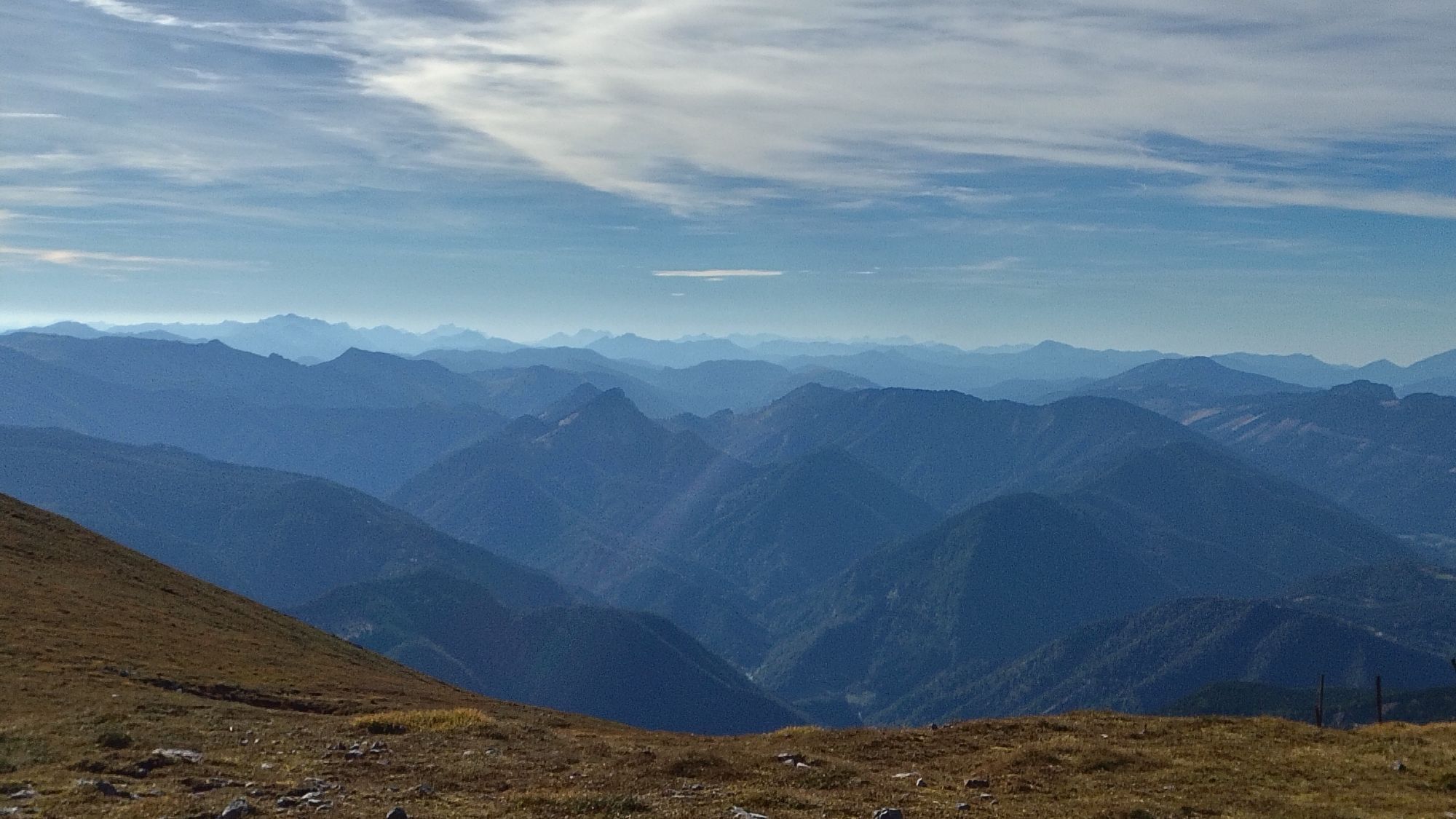
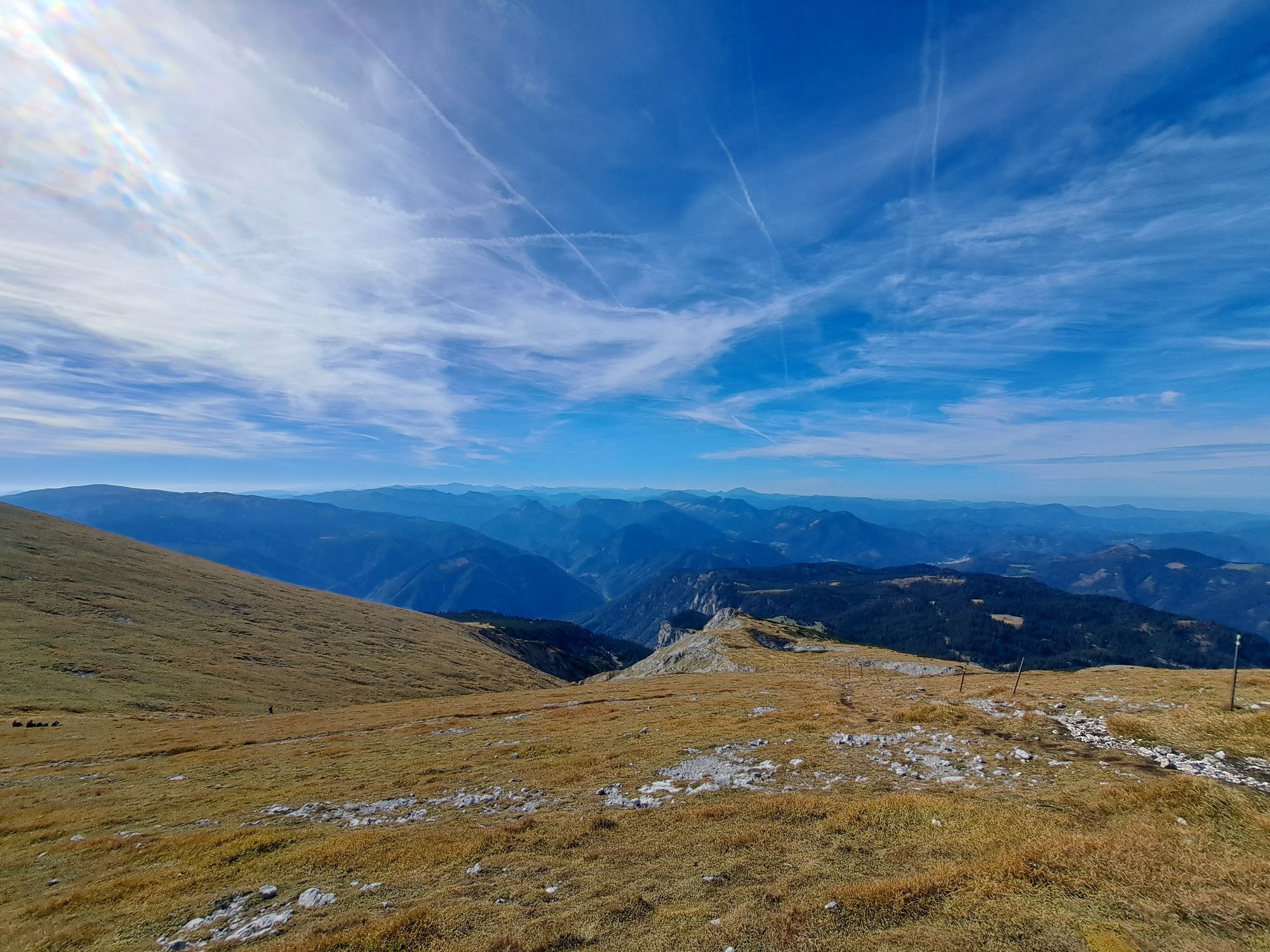
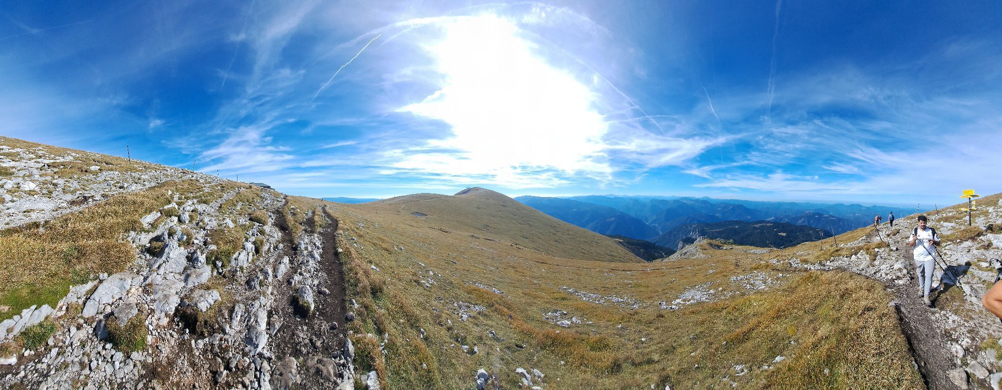
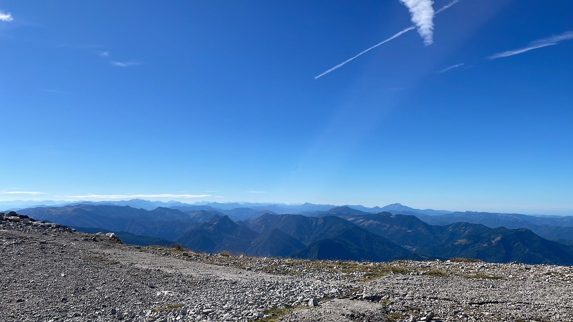
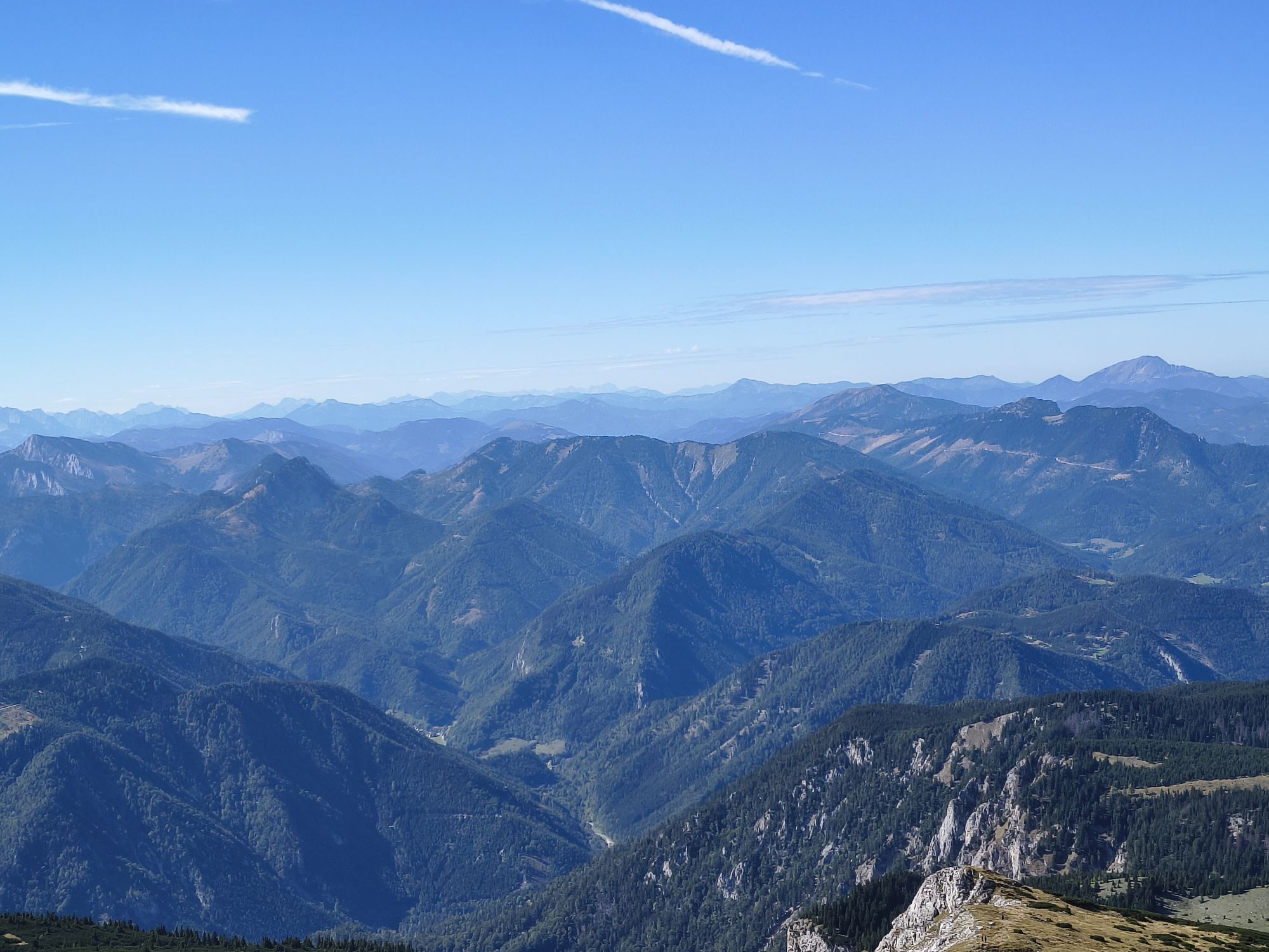
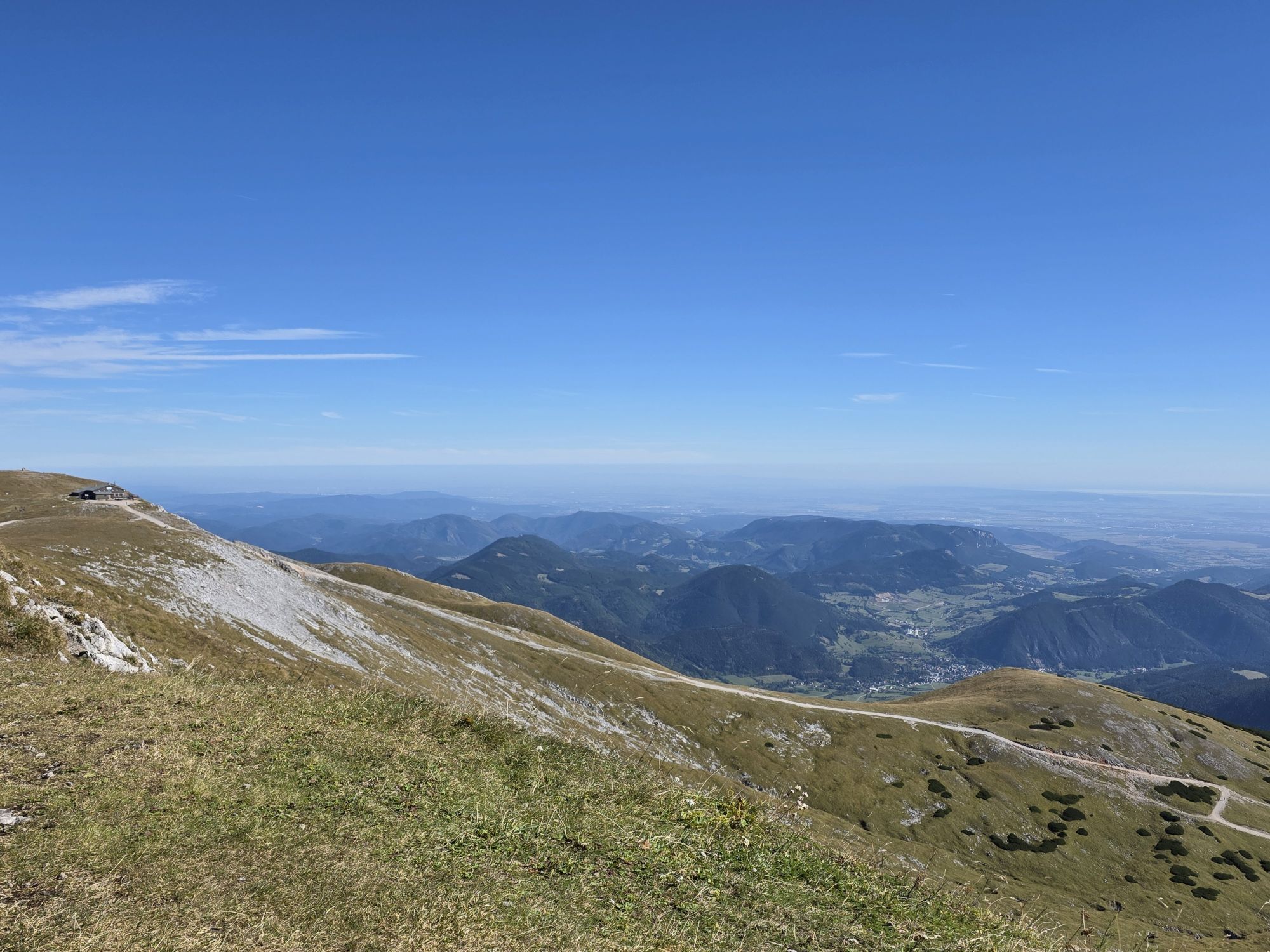
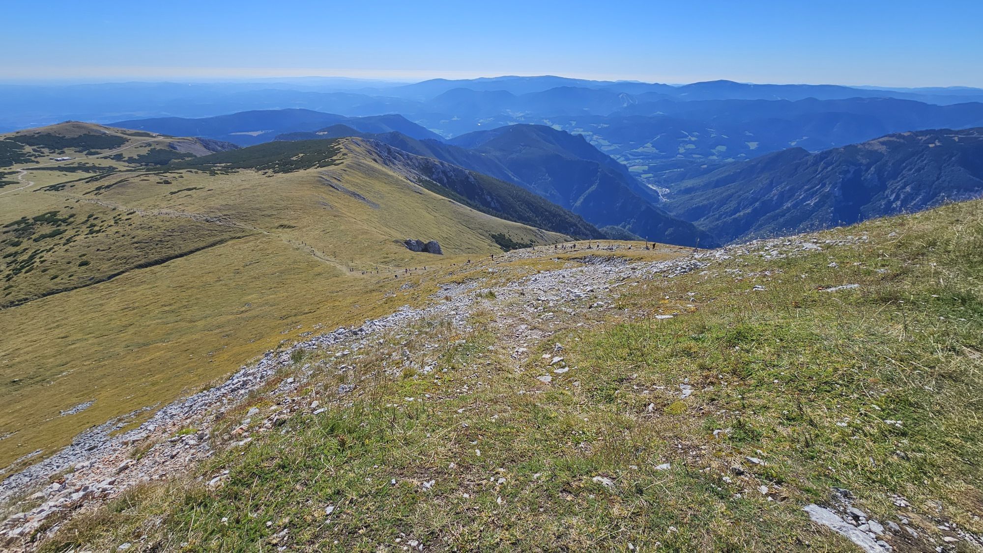
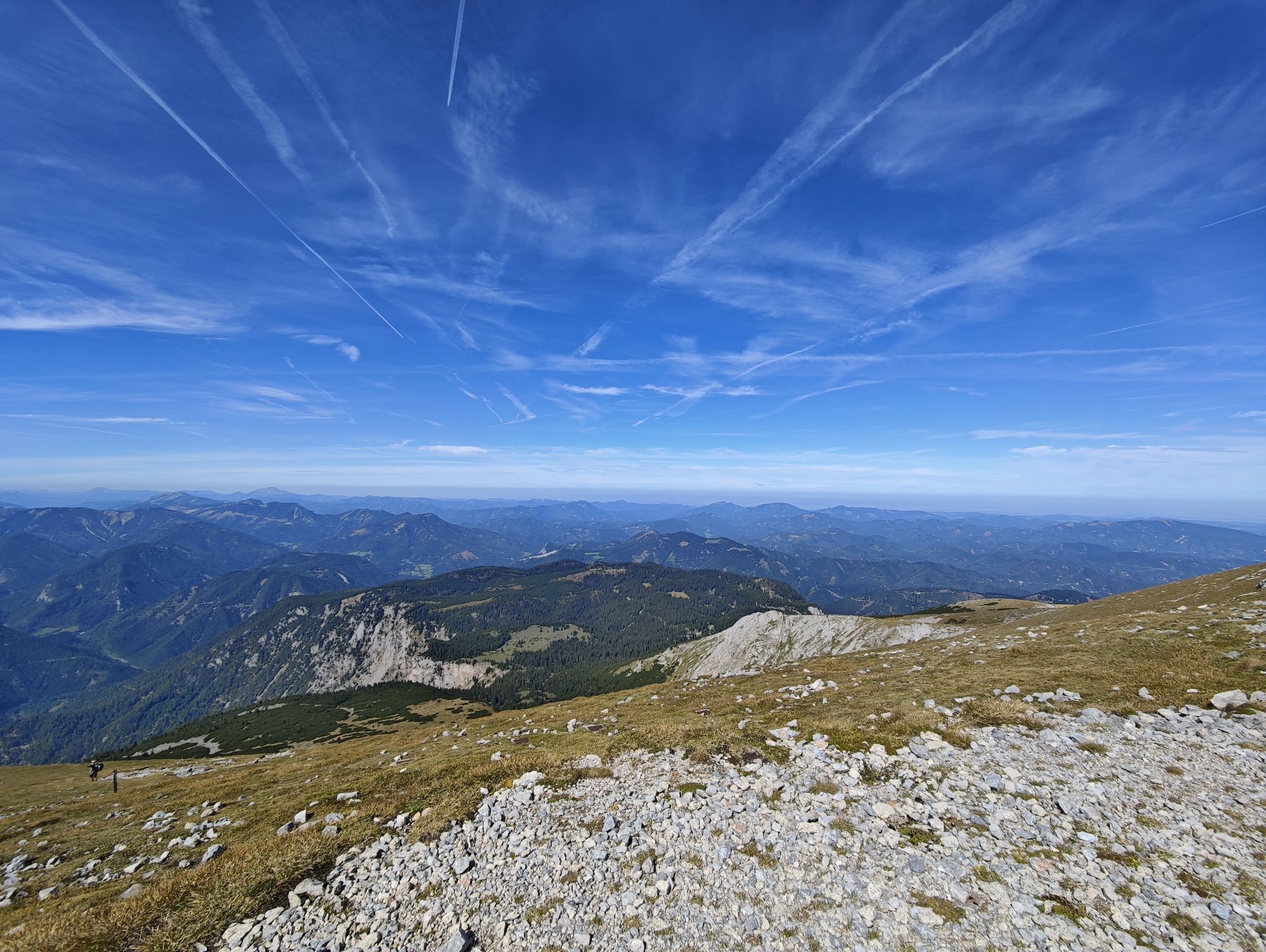
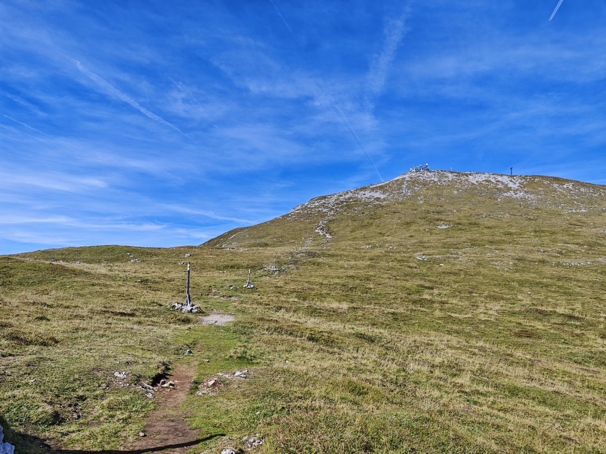
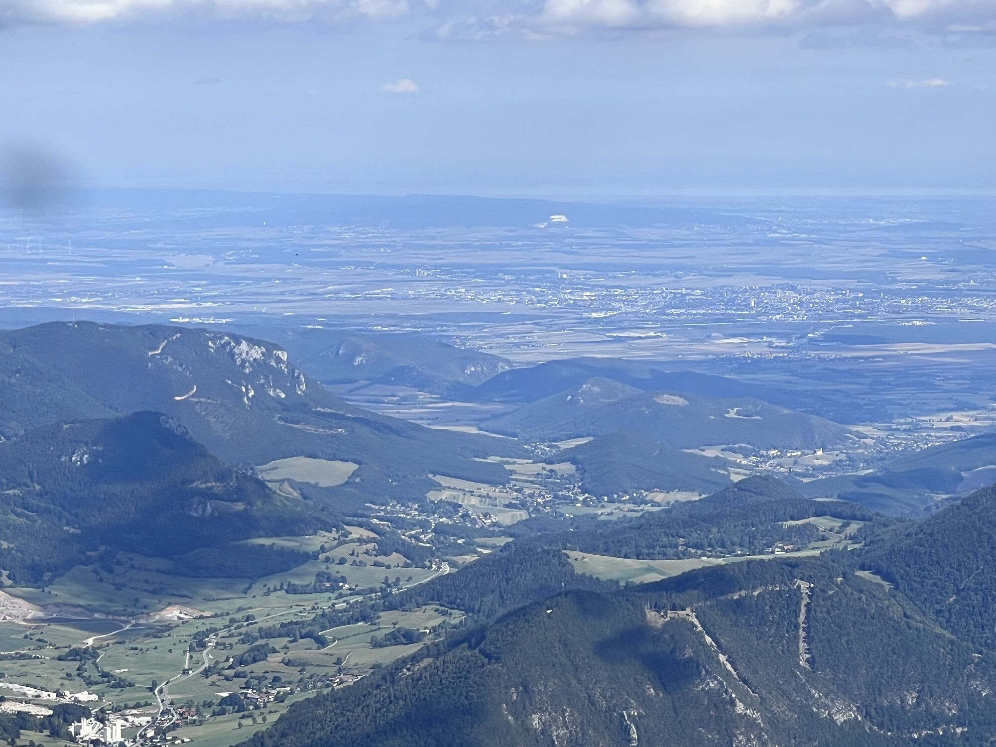
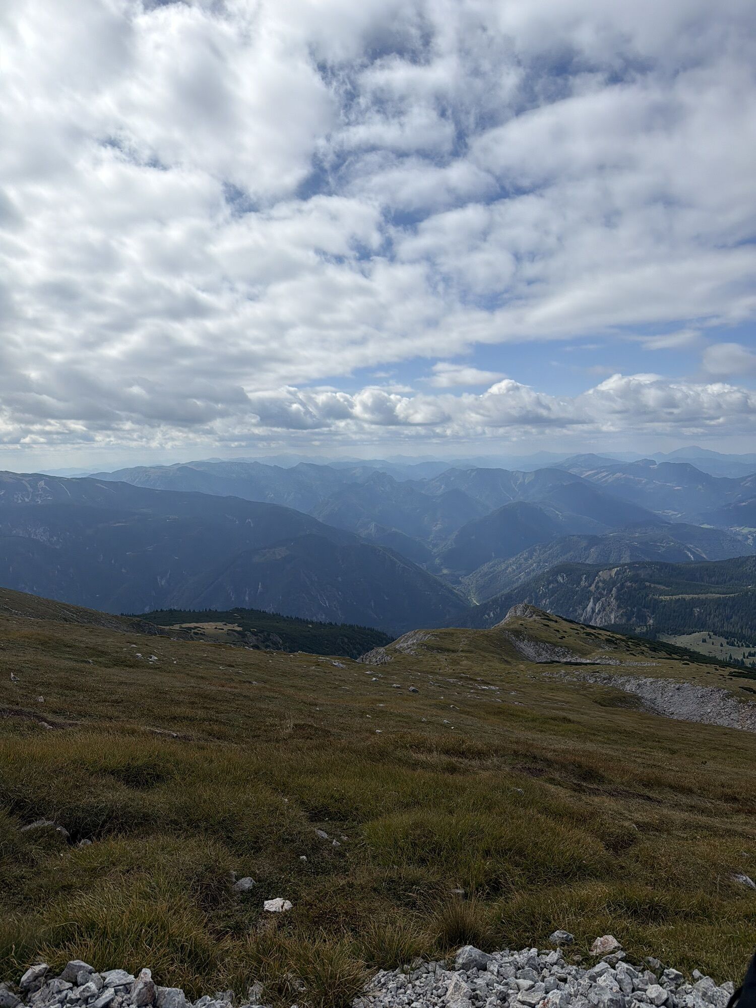
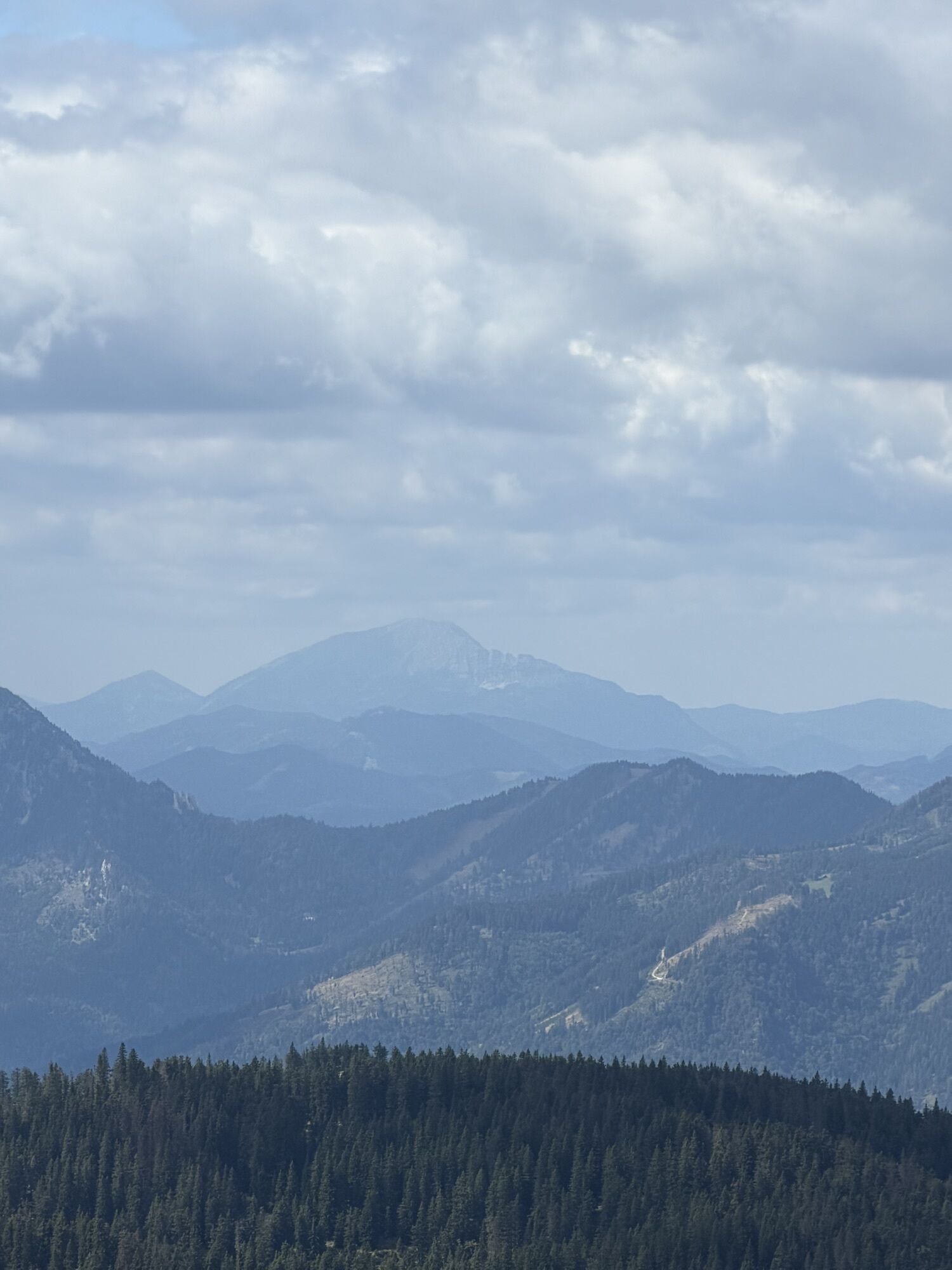
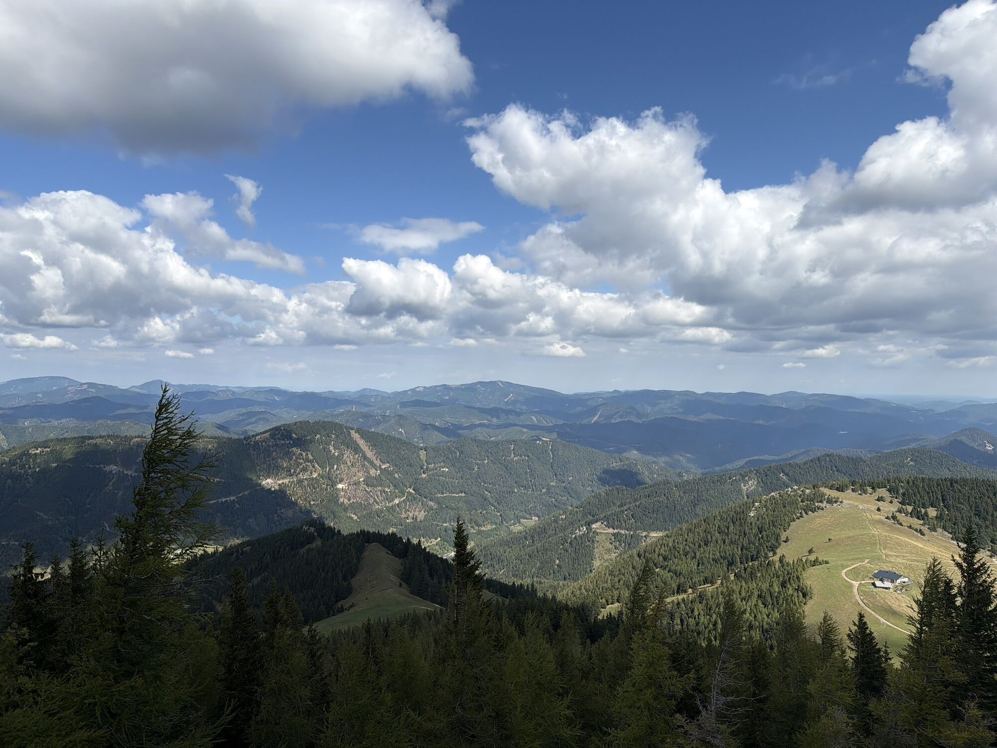
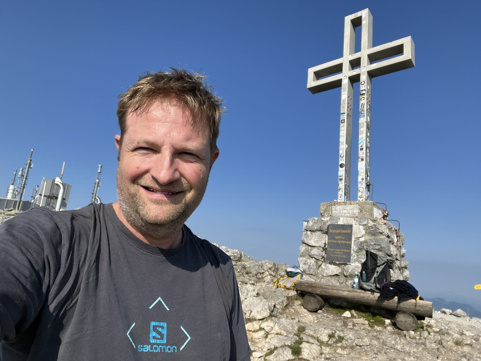
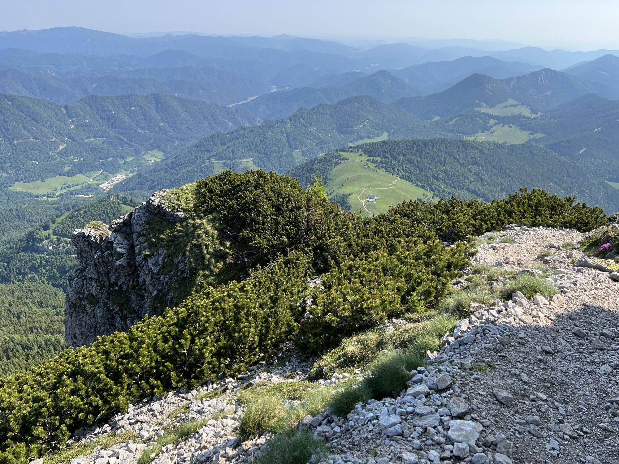
With the summit cross always in view, it is another 30-45 minutes to the summit of the Schneeberg. There are still around 250 vertical meters to be overcome, with the ascent being more continuous and therefore more leisurely. Only the last climb before the summit is a bit steeper. Not least because of its topographical isolation, the summit offers a magnificent all-round view. In particular, the view over the high plateau (the "Ochsenboden") to the Waxriegel (1888 m / 6194 ft) and the peaks of the Rax and the Schneealpe, which seem close enough to touch, are impressive. In good weather conditions, the view extends from Lake Neusiedl in the east to the Ennstal Alps and the Dachstein Glacier in the west.
Descent via the Fadensteig
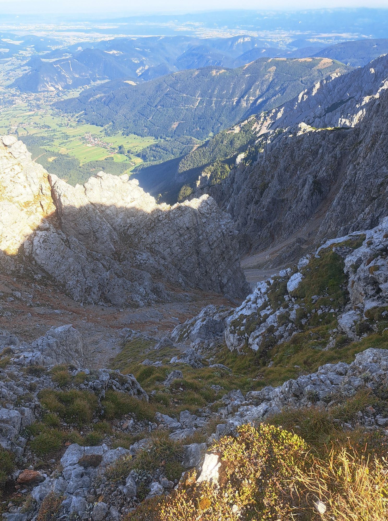
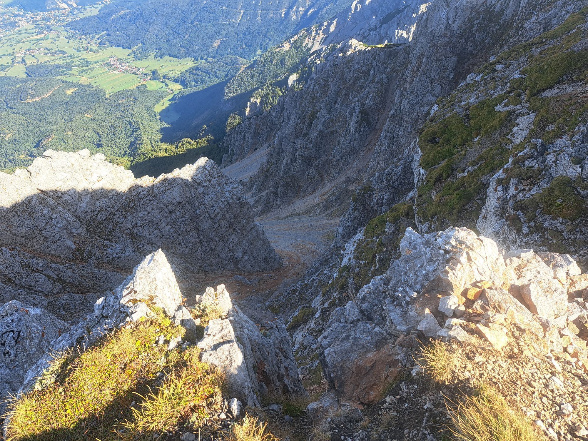
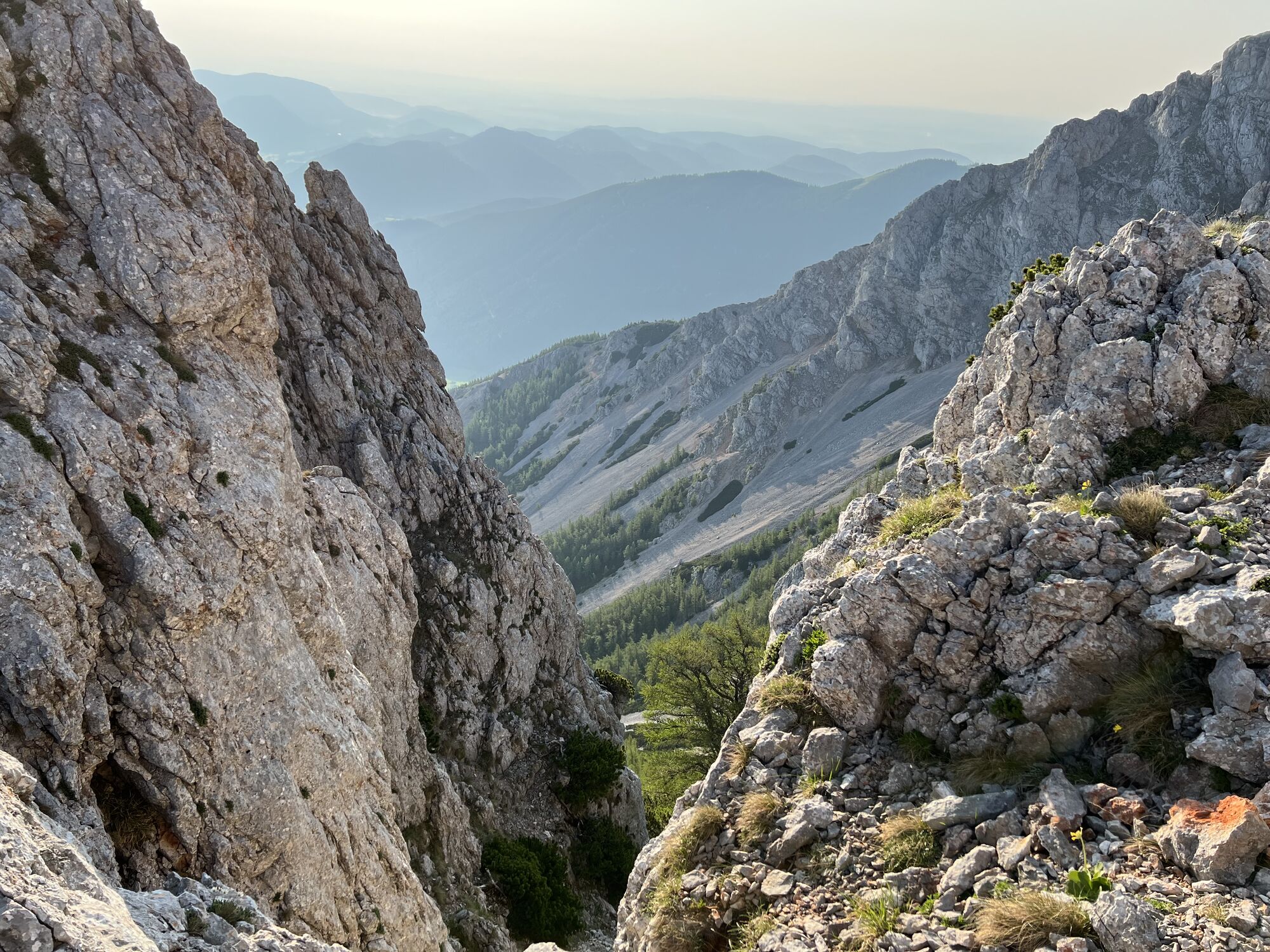
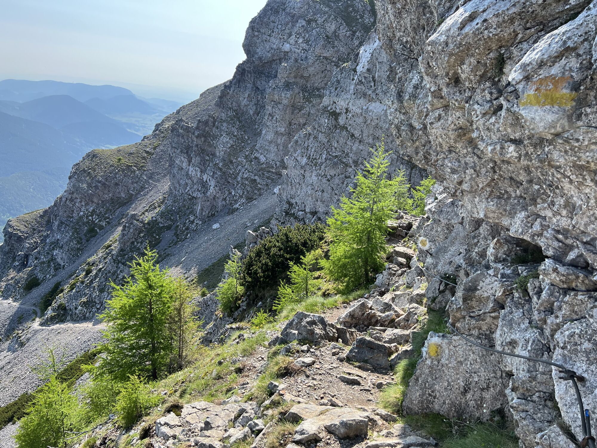
The descent is via the Fadensteig and first leads past the Fischerhütte. After about 30 minutes, the cliffs on the northern flank of the mountain are reached and the path becomes noticeably rockier and steeper. Particular caution is required, especially when descending, and sometimes using your hands proves to be helpful. Exposed or more dangerous places are always secured with steel cables, although there are also a few gravel passages that should not be underestimated and should therefore be treated with particular caution. After 1.5 to 2 hours the Fadensattel is reached. The parking is reached after another about 30 minutes.



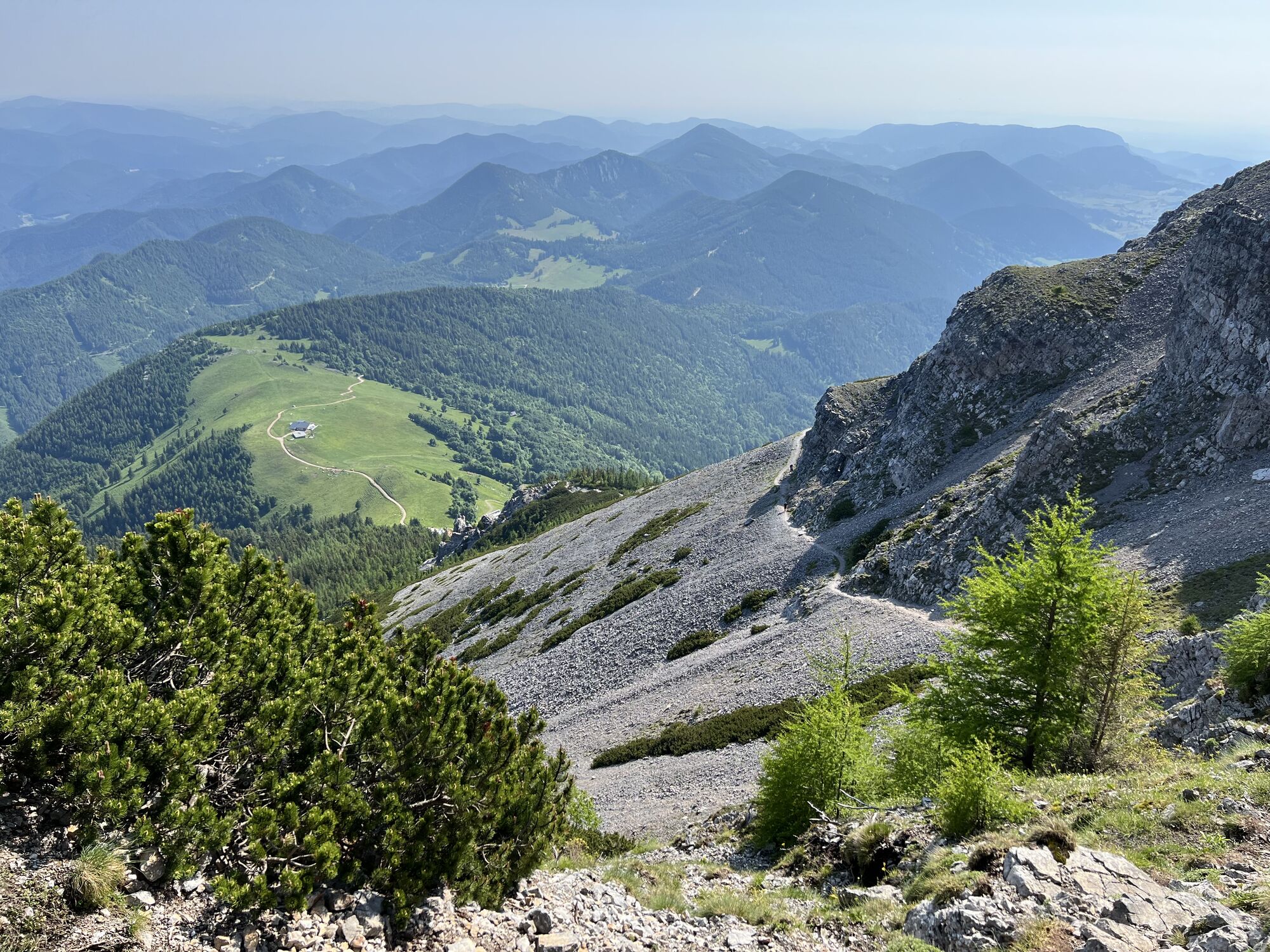
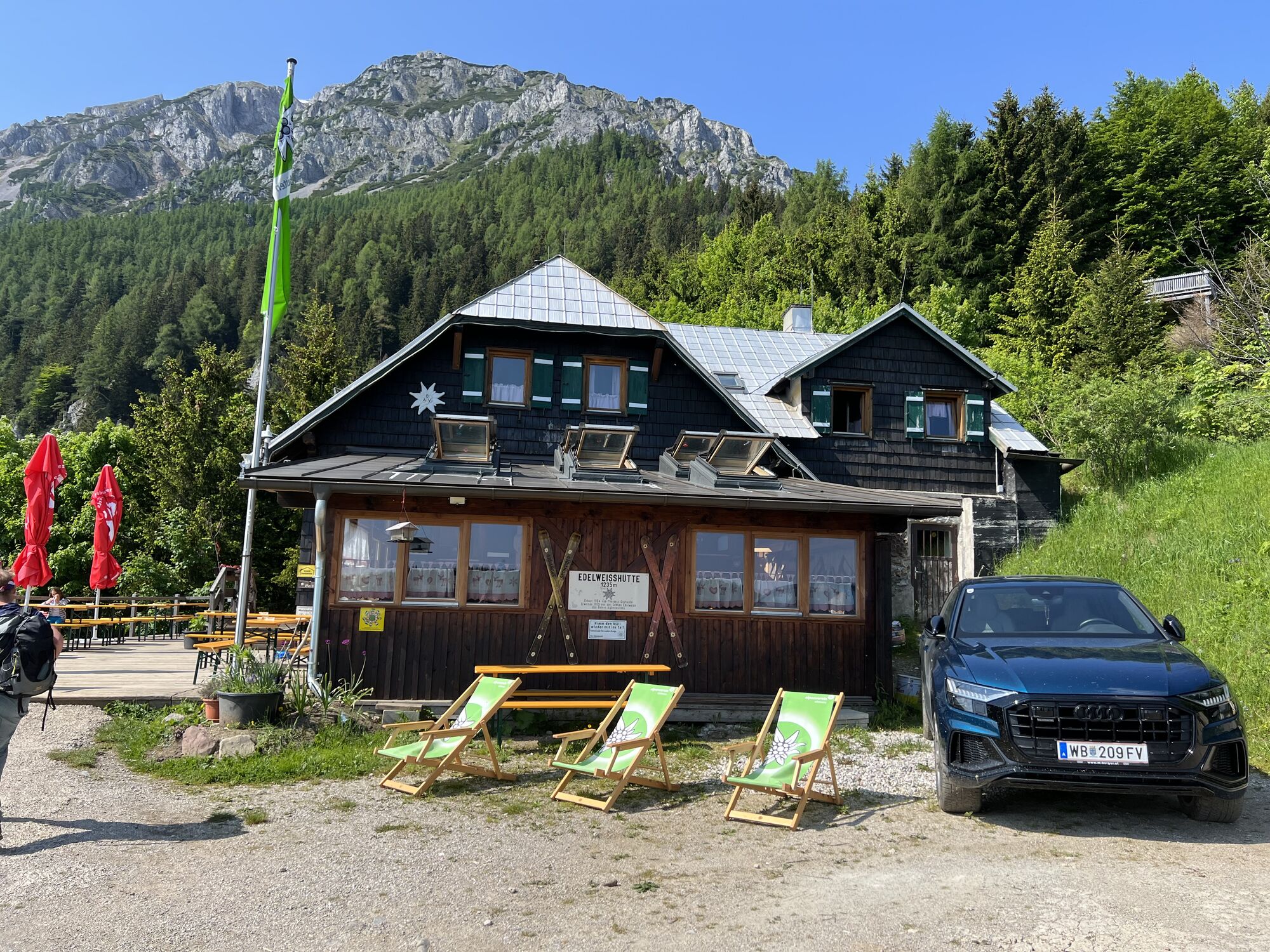

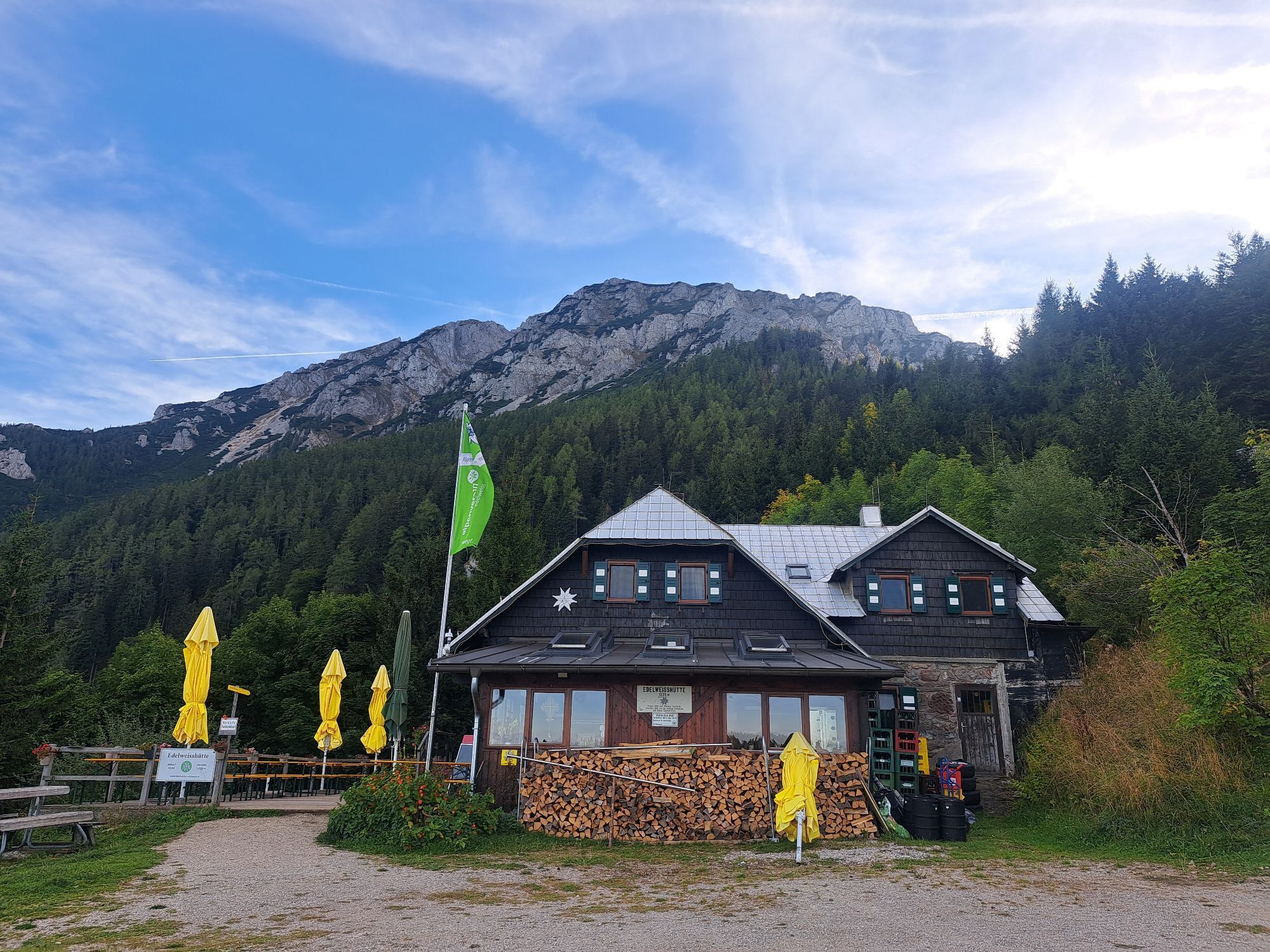
Damböckhaus, Fischerhütte and Edelweißhütte
Sí
Sí
Sí
Paid parking at the valley station of the chairlift in Losenheim. Cost of a day ticket: EUR 6 (as of 2023)







Webcams del recorrido

Actividades a lo largo del recorrido
-

Kaiserstein, Niederösterreich/Österreich
29.09.2026 – Senderismo -

Puchberg am Schneeberg, Niederösterreich/Österreich
27.09.2026 – Senderismo -

Puchberg am Schneeberg, Niederösterreich/Österreich
19.09.2026 – Senderismo -

Puchberg am Schneeberg, Niederösterreich/Österreich
13.09.2026 – Senderismo -

Puchberg am Schneeberg, Niederösterreich/Österreich
12.09.2026 – Senderismo -

Puchberg am Schneeberg, Niederösterreich/Österreich
12.09.2026 – Senderismo -
Puchberg am Schneeberg, Niederösterreich/Österreich
05.09.2026 – Senderismo -

Gutenstein, Lower Austria/Austria
03.09.2026 – Senderismo -
Puchberg am Schneeberg, Lower Austria/Austria
03.09.2026 – Senderismo -

Novembergrat - Puchberg am Schneeberg,
29.08.2026 – Senderismo -

Puchberg am Schneeberg, Niederösterreich/Österreich
27.08.2026 – Senderismo -

Puchberg am Schneeberg, Niederösterreich/Österreich
25.08.2026 – Senderismo -
Puchberg am Schneeberg, Niederösterreich/Österreich
23.08.2026 – Senderismo -

Puchberg am Schneeberg, Niederösterreich/Österreich
16.08.2026 – Senderismo -
Schwarzau im Gebirge, Niederösterreich/Österreich
16.08.2026 – Senderismo de montaña -
Puchberg am Schneeberg, Niederösterreich/Österreich
15.08.2026 – Senderismo -

Puchberg am Schneeberg, Niederösterreich/Österreich
13.08.2026 – Senderismo -

Puchberg am Schneeberg, Lower Austria/Austria
09.08.2026 – Senderismo -

Puchberg am Schneeberg, Niederösterreich/Österreich
04.08.2026 – Senderismo -

Puchberg am Schneeberg, Niederösterreich/Österreich
02.08.2026 – Senderismo
Rutas populares en los alrededores
-
4,6
Losenheim: Edelweißhütte - Fadensteig - Fischerhütte
medioSenderismo 11,5 km -
4,6
Zahnradbahn und Wandern am Schneeberg - Plateauwanderung
medioSenderismo 6,90 km -
4,7
Rax - Heukuppe
Senderismo 15,6 km -
4,9
"Weichtalklamm" über Stock und Stein durch das Höllental - Weichtalhaus - Kientallerhütte 1340m
medioSenderismo 14,0 km -
4,9
RAX Runde
luzSenderismo 19,6 km -
4,9
Reißtalersteig und Gretchensteig
pesadoSenderismo 8,10 km -
4,9
SCHNEEBERG Losenheim Nandlgrat Klosterwappen Fadenweg 28.09.2017
pesadoSenderismo 15 km -
4,9
"Über den höchsten Nieder-Ösi" - Schneeberg - Weichtalklamm - Klosterwappen - Stadlwandleiten
medioSenderismo 17,7 km -
4,9
Flatzer Wand Wanderung
luzSenderismo 5,62 km -
4,9
Rax
medioSenderismo 6,70 km
Senderismo y rastreo


No se pierda las ofertas y la inspiración para sus próximas vacaciones
Su dirección de correo electrónico se ha añadido a la lista de correo.





