






WAB - Stage 16: Öhler Schutzhaus - Pernitz
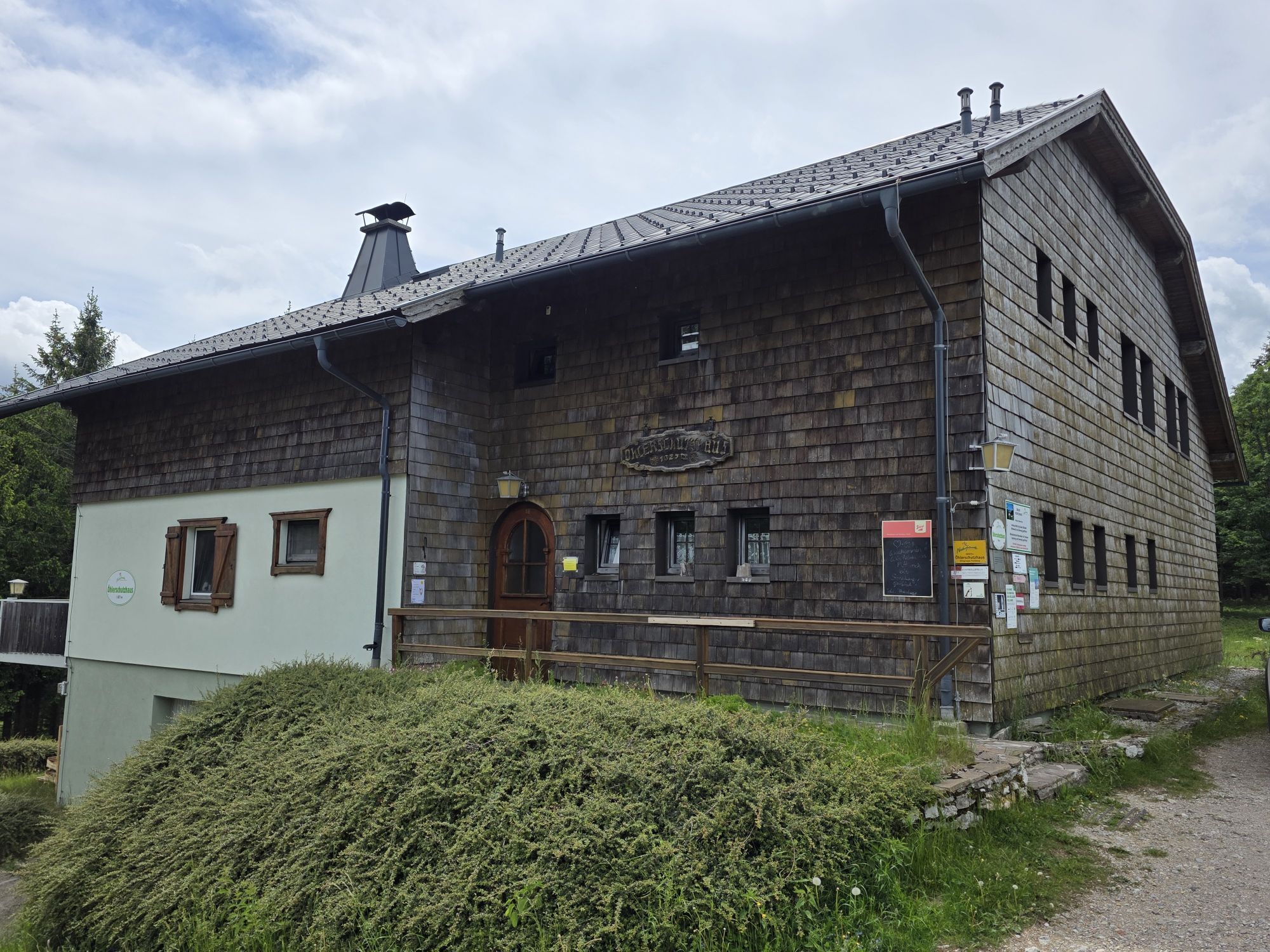
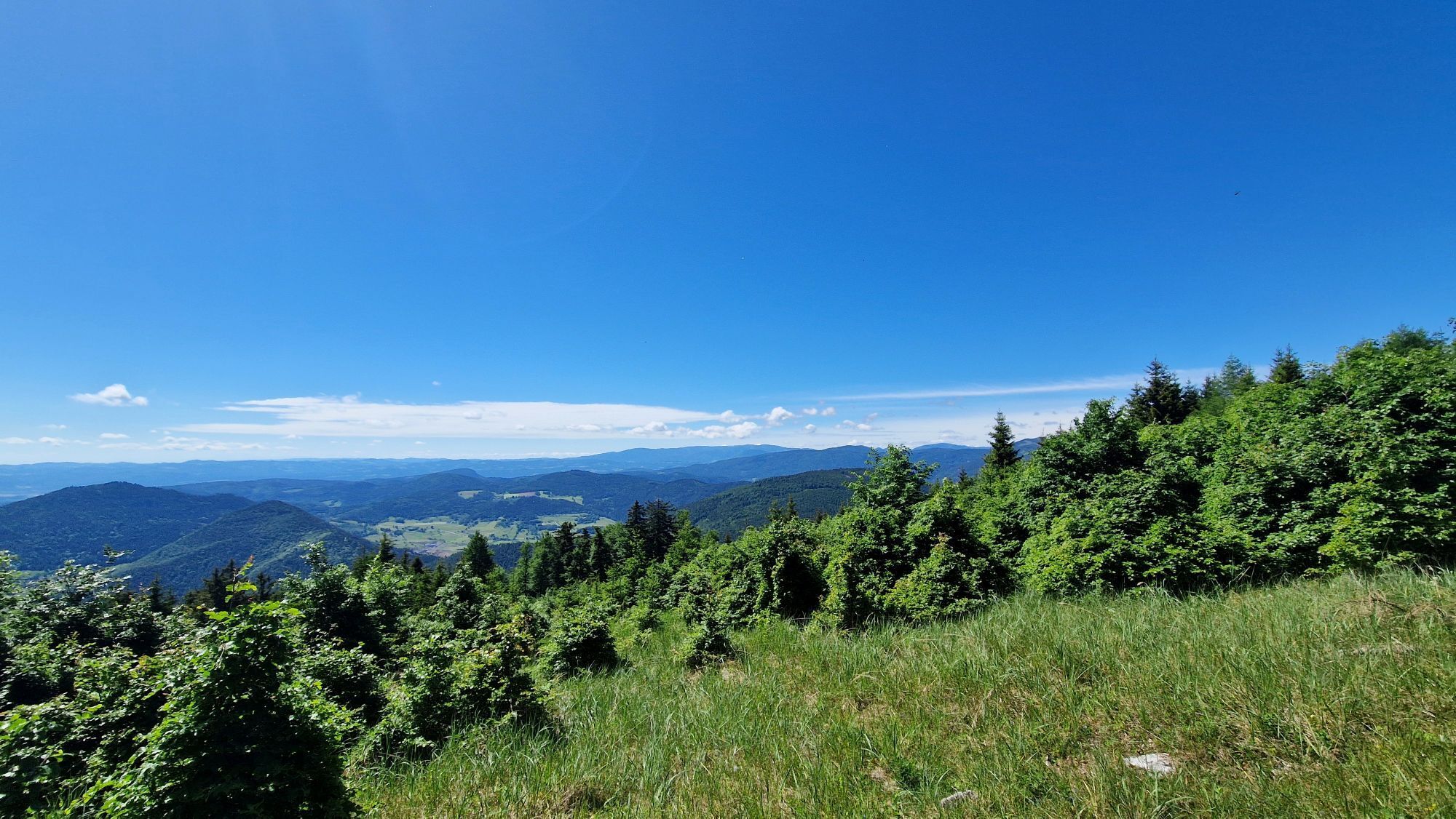
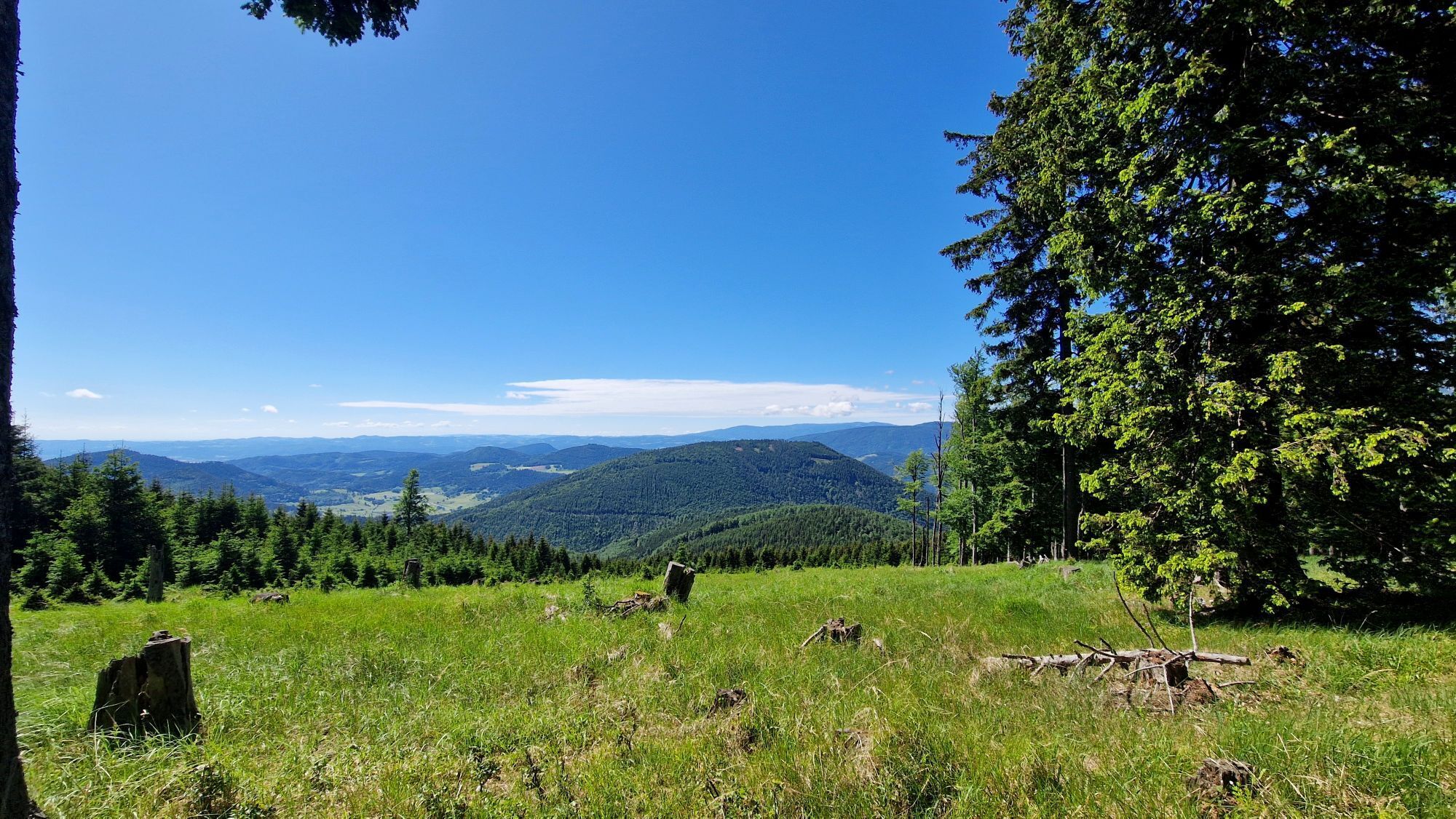
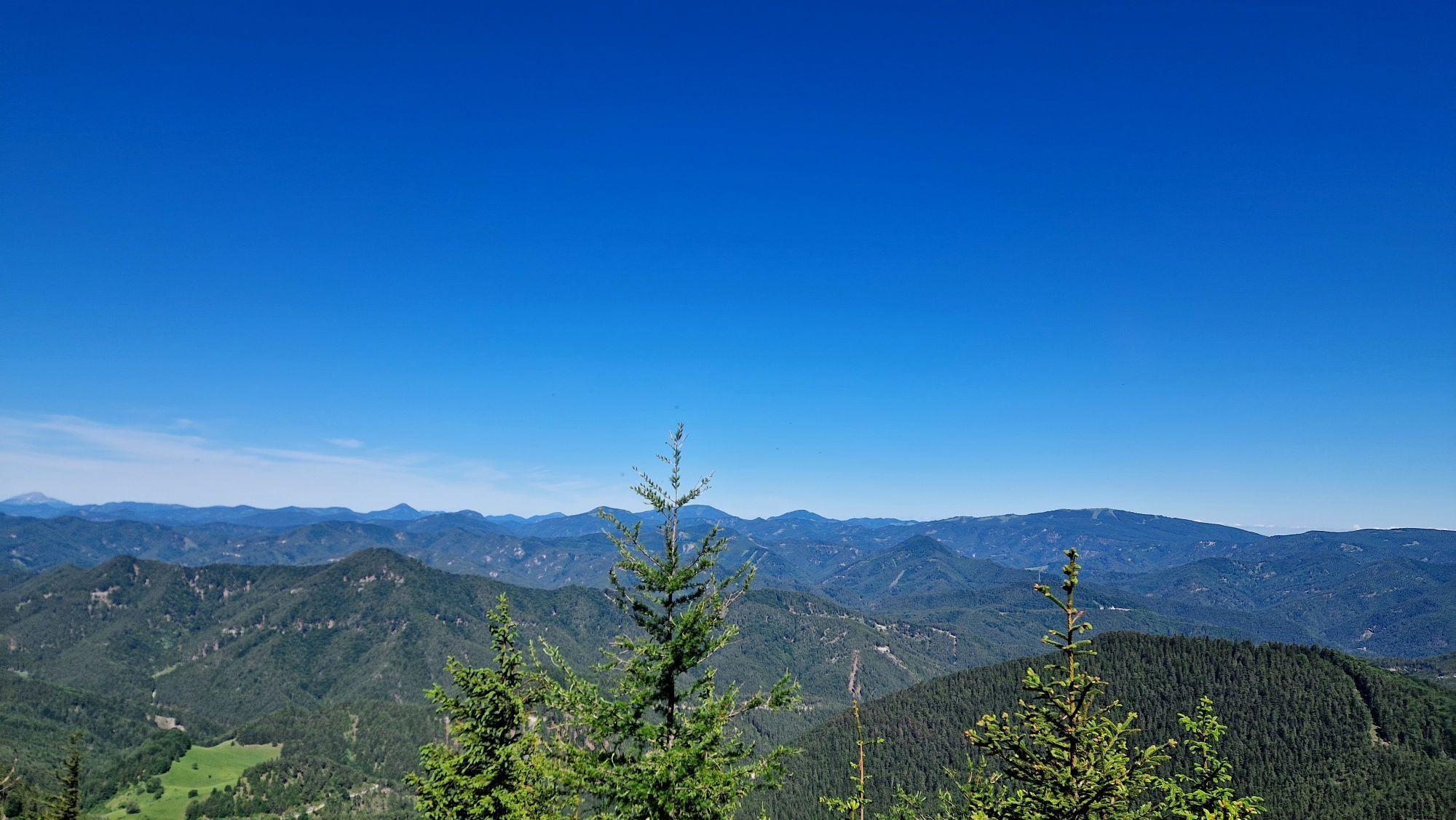
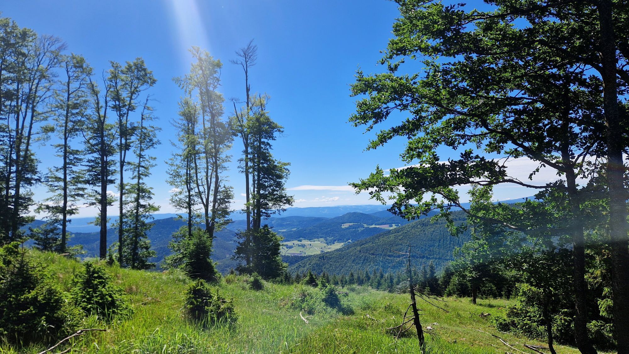

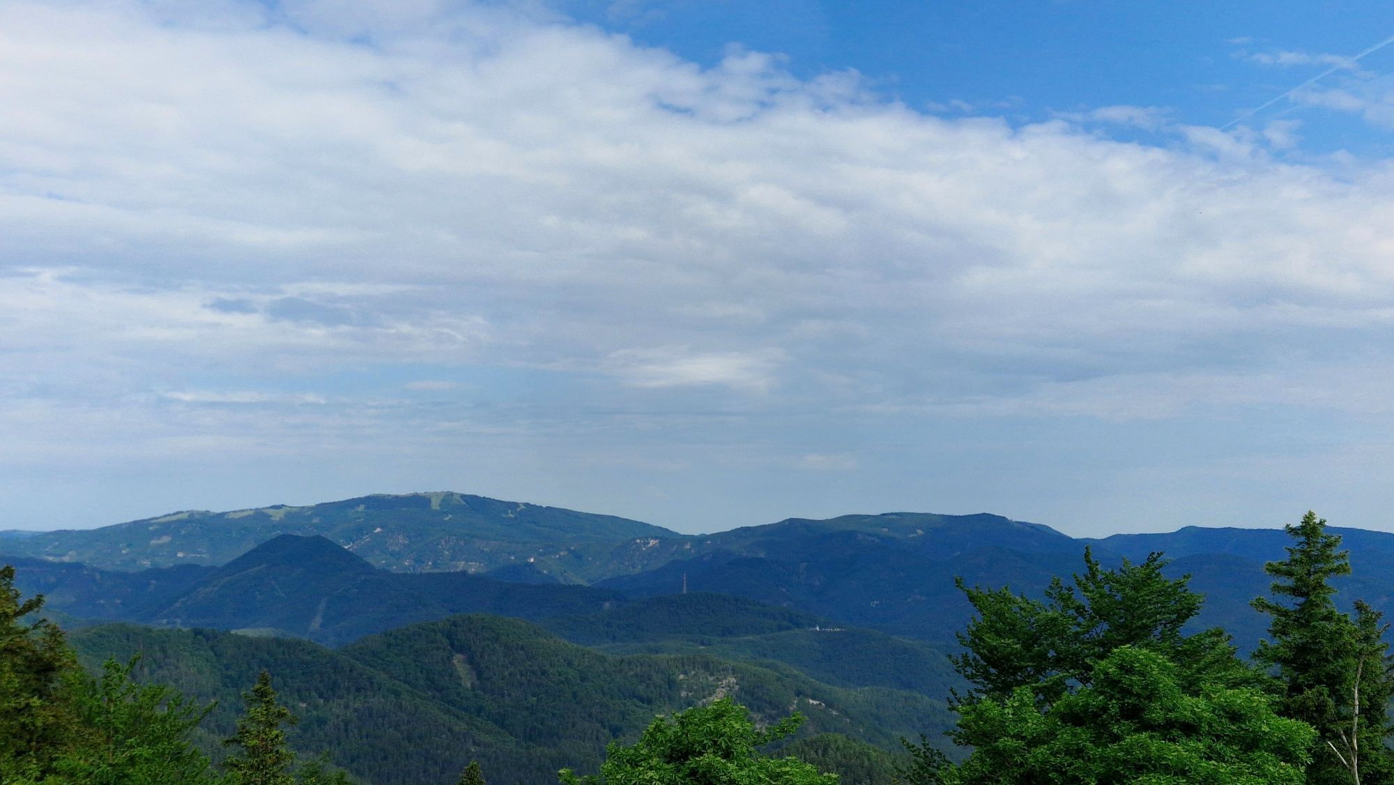
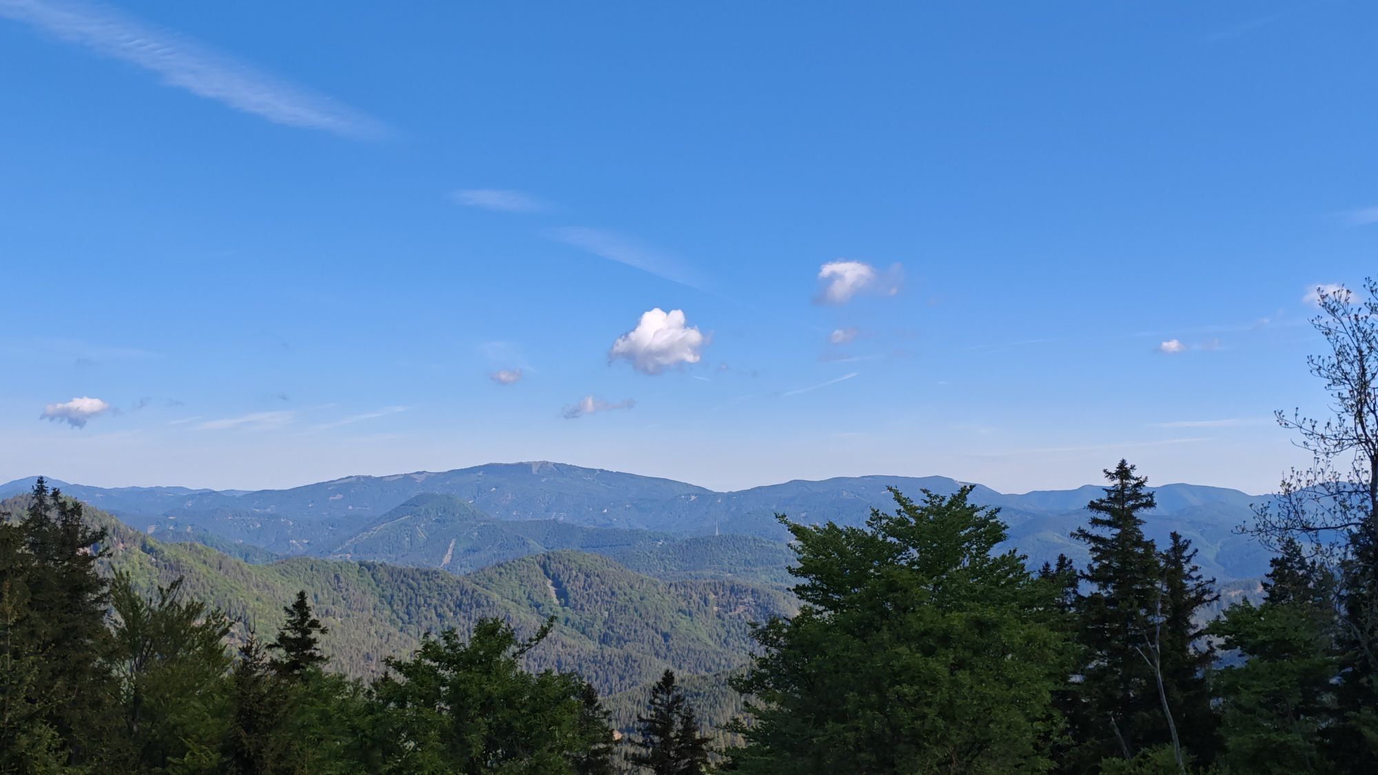
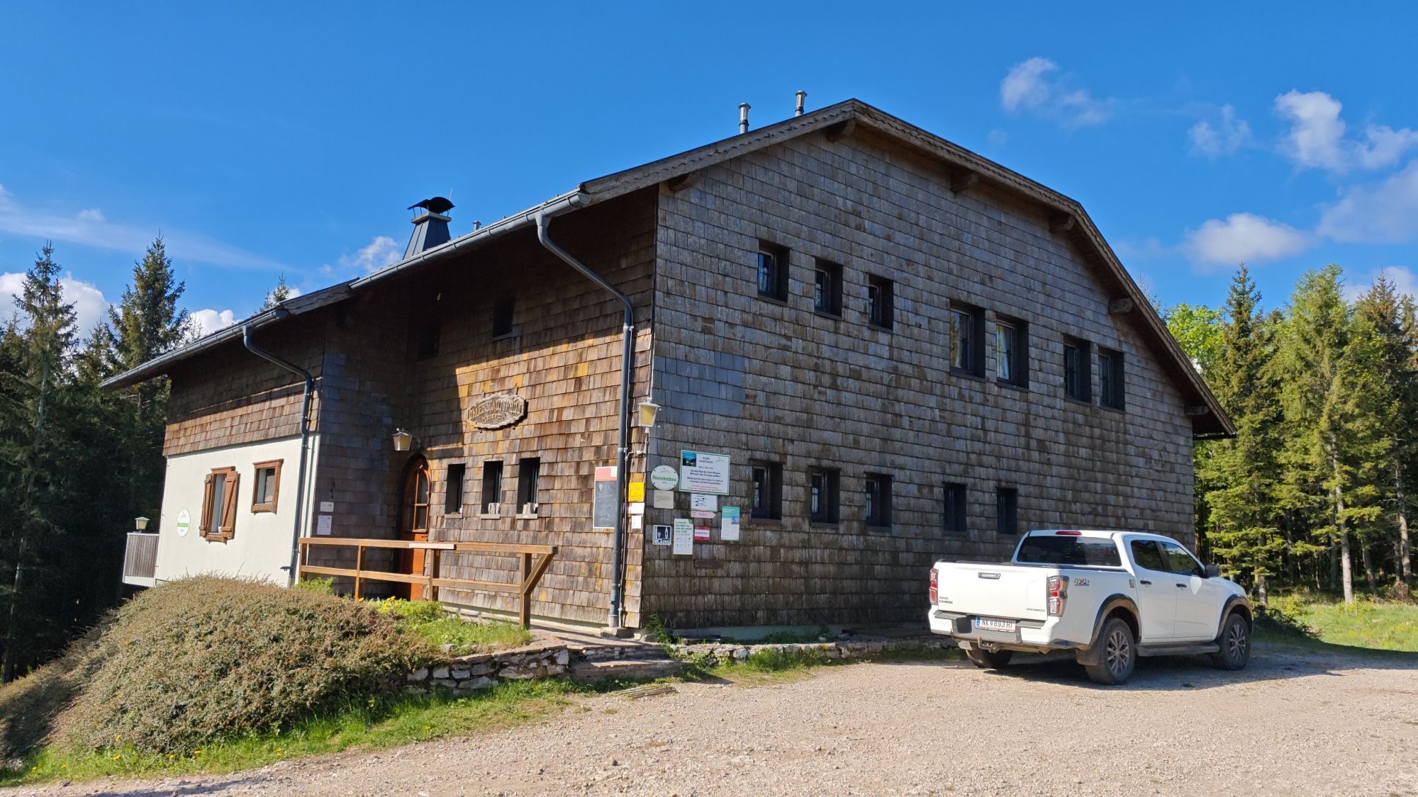
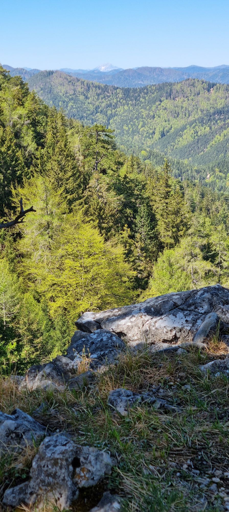
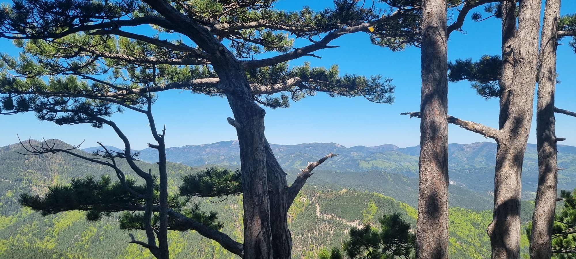
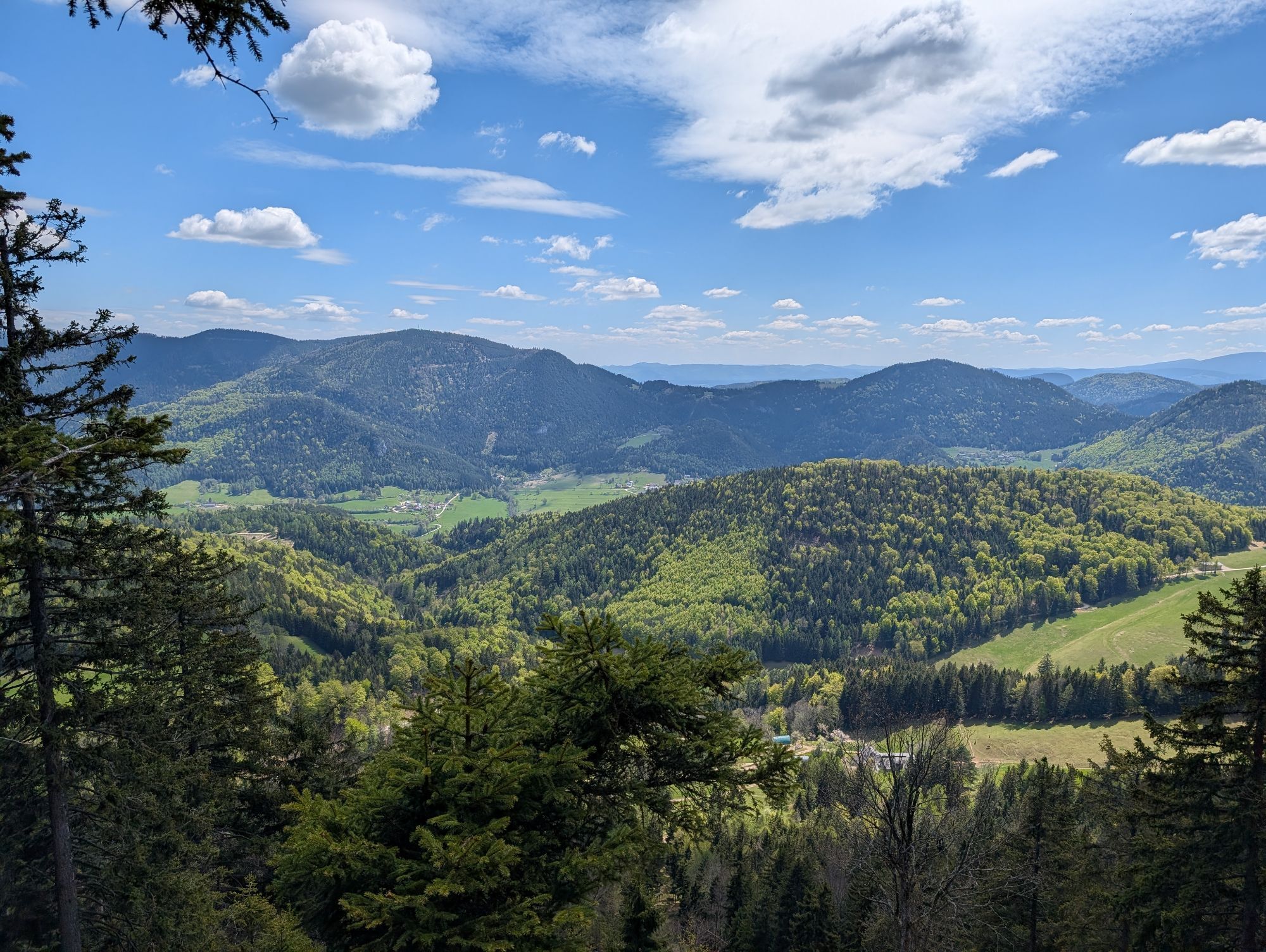
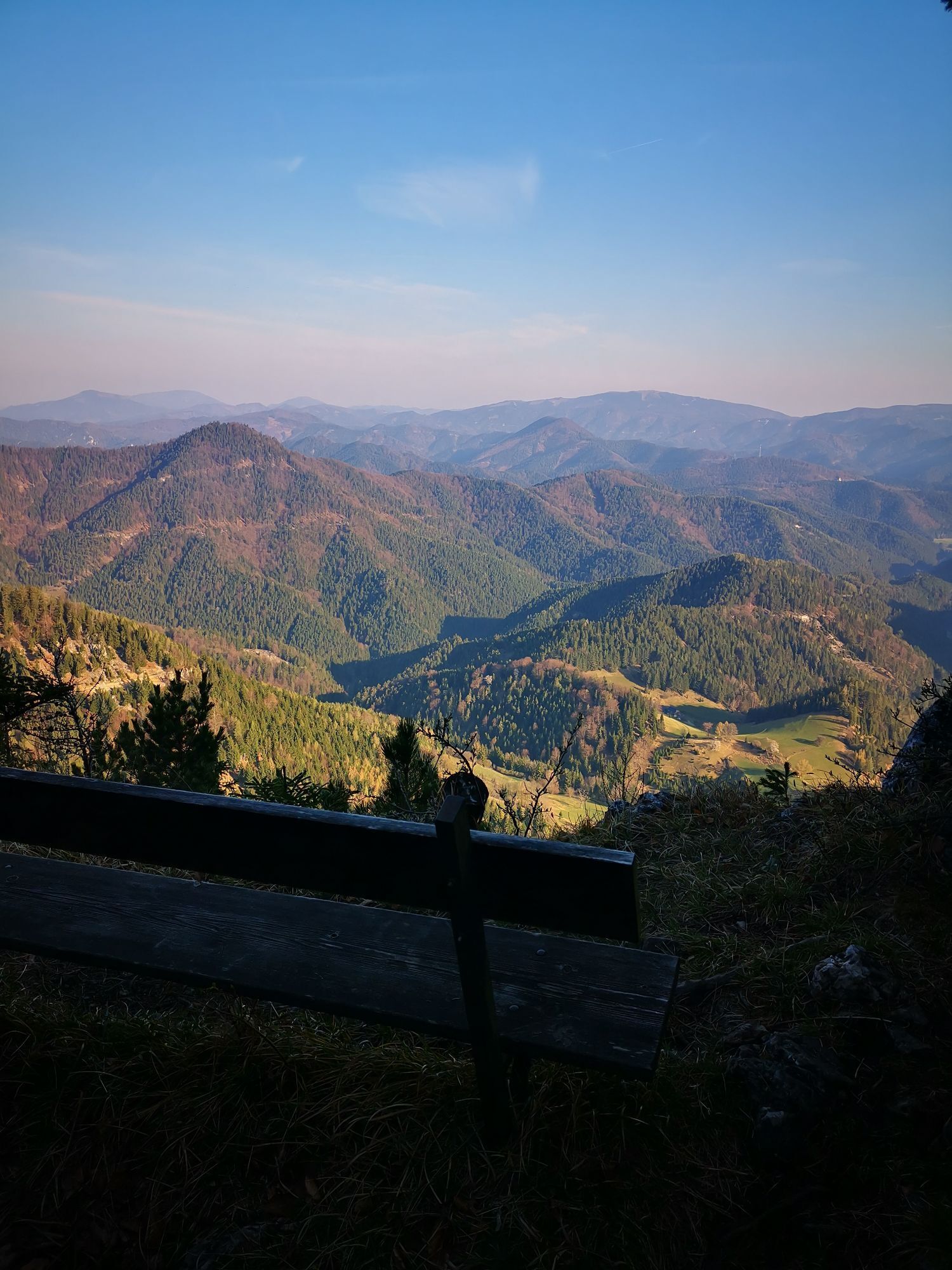
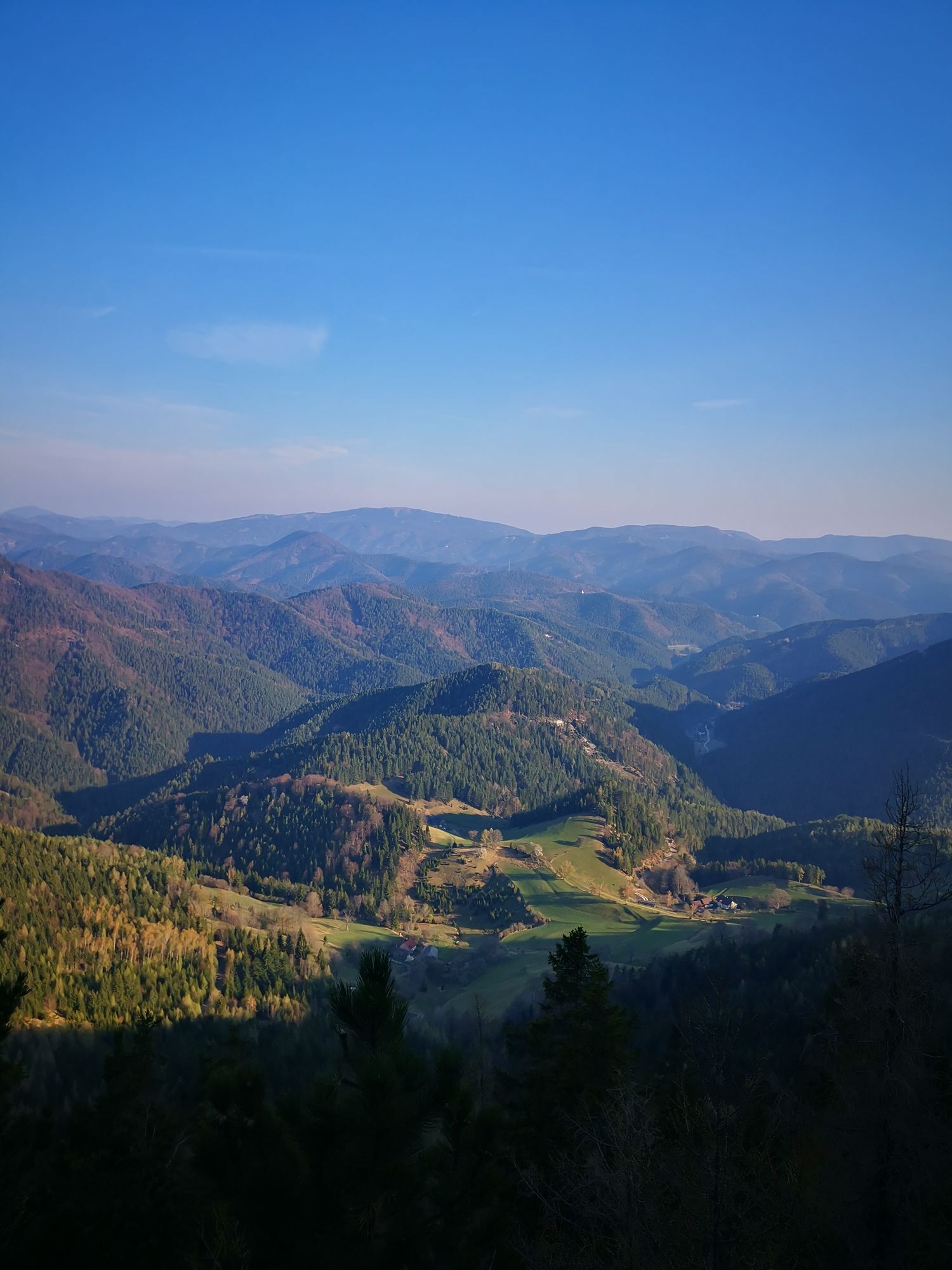
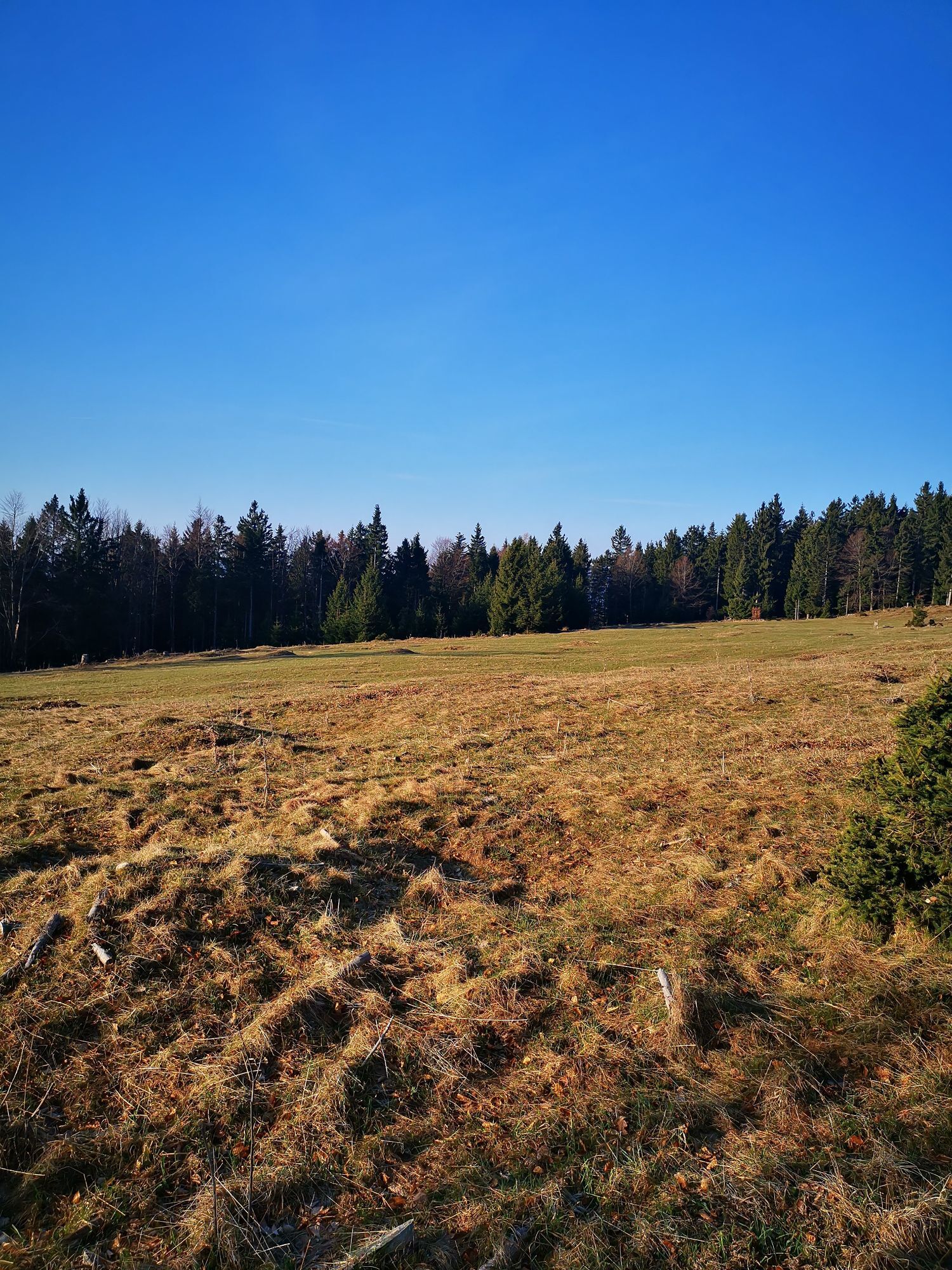
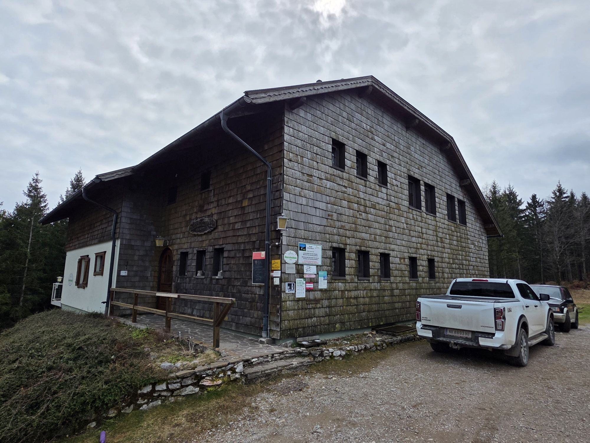
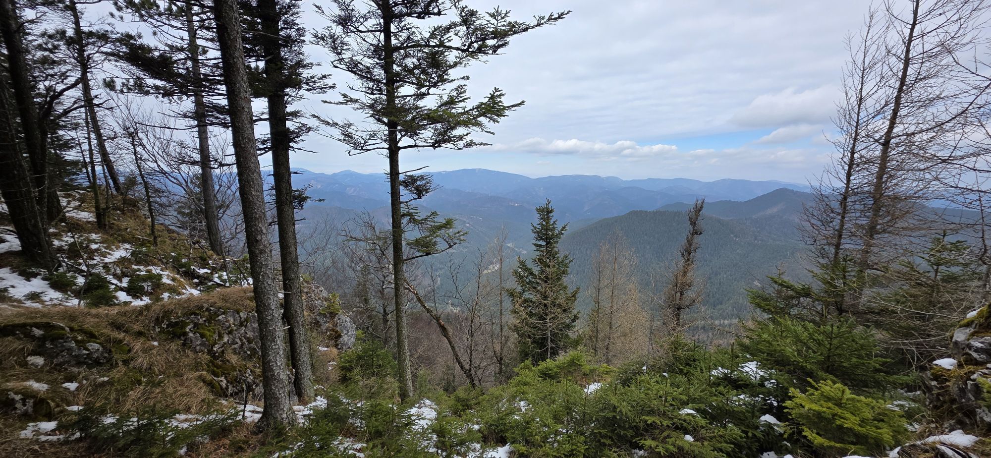
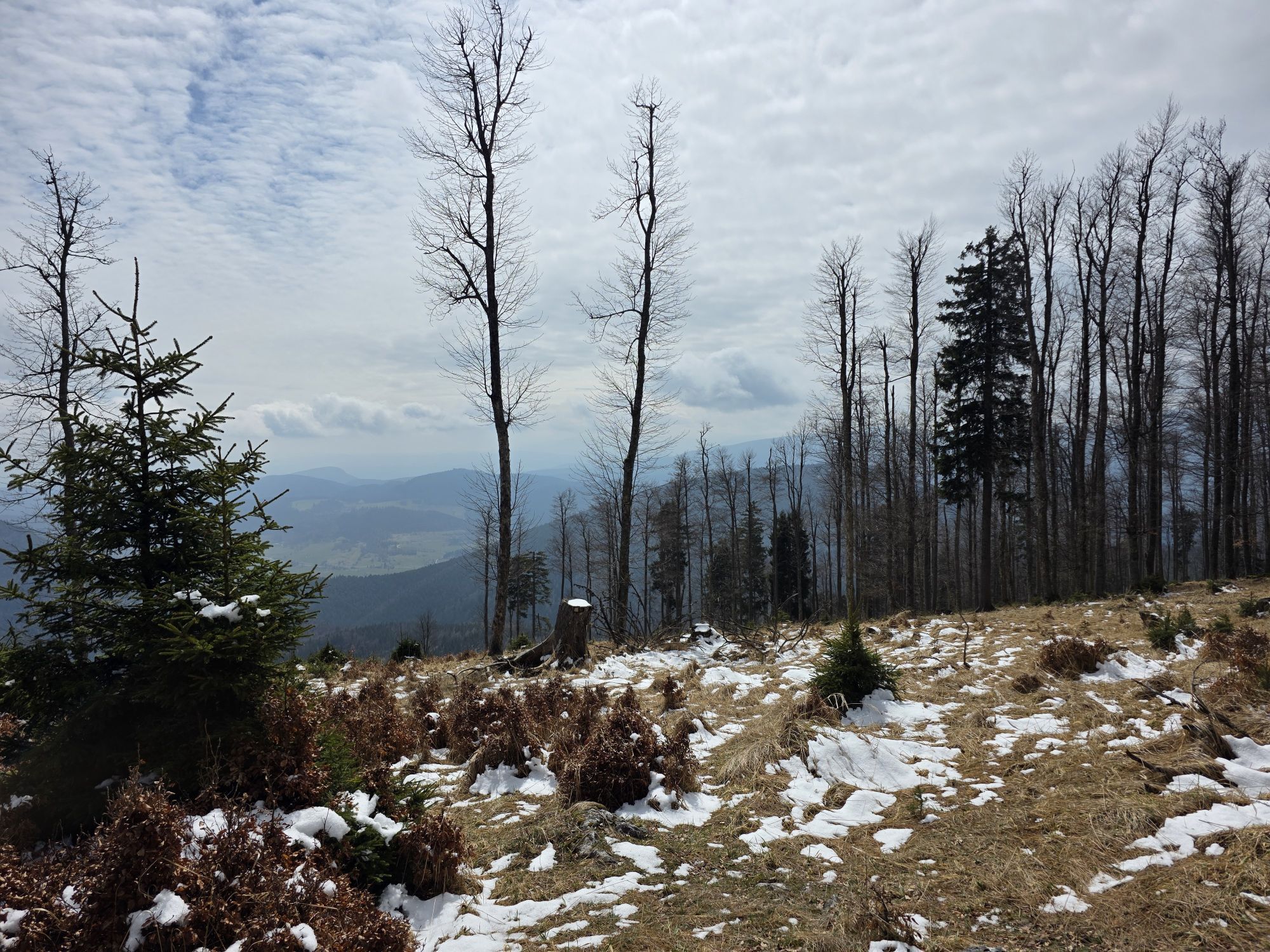

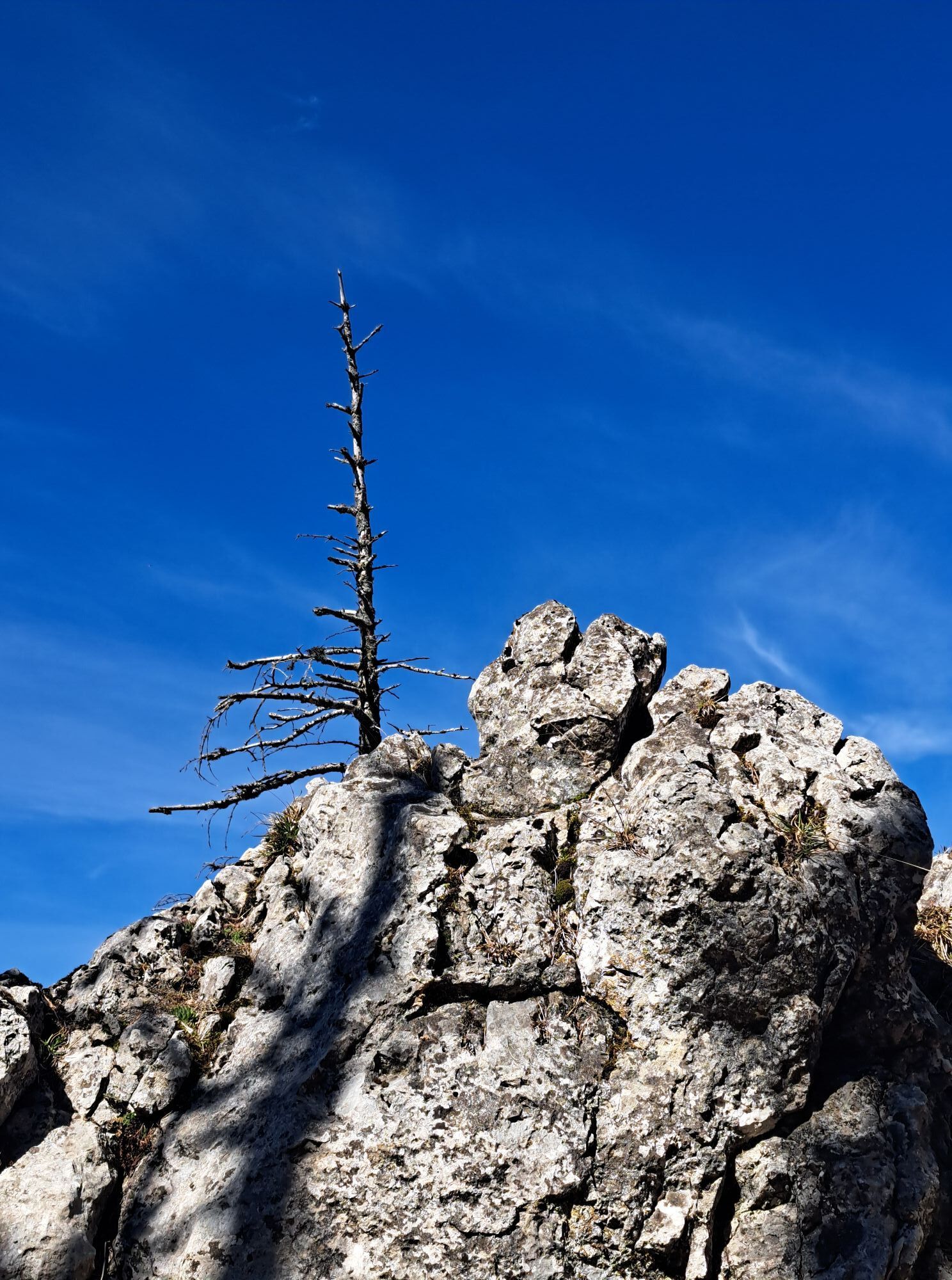
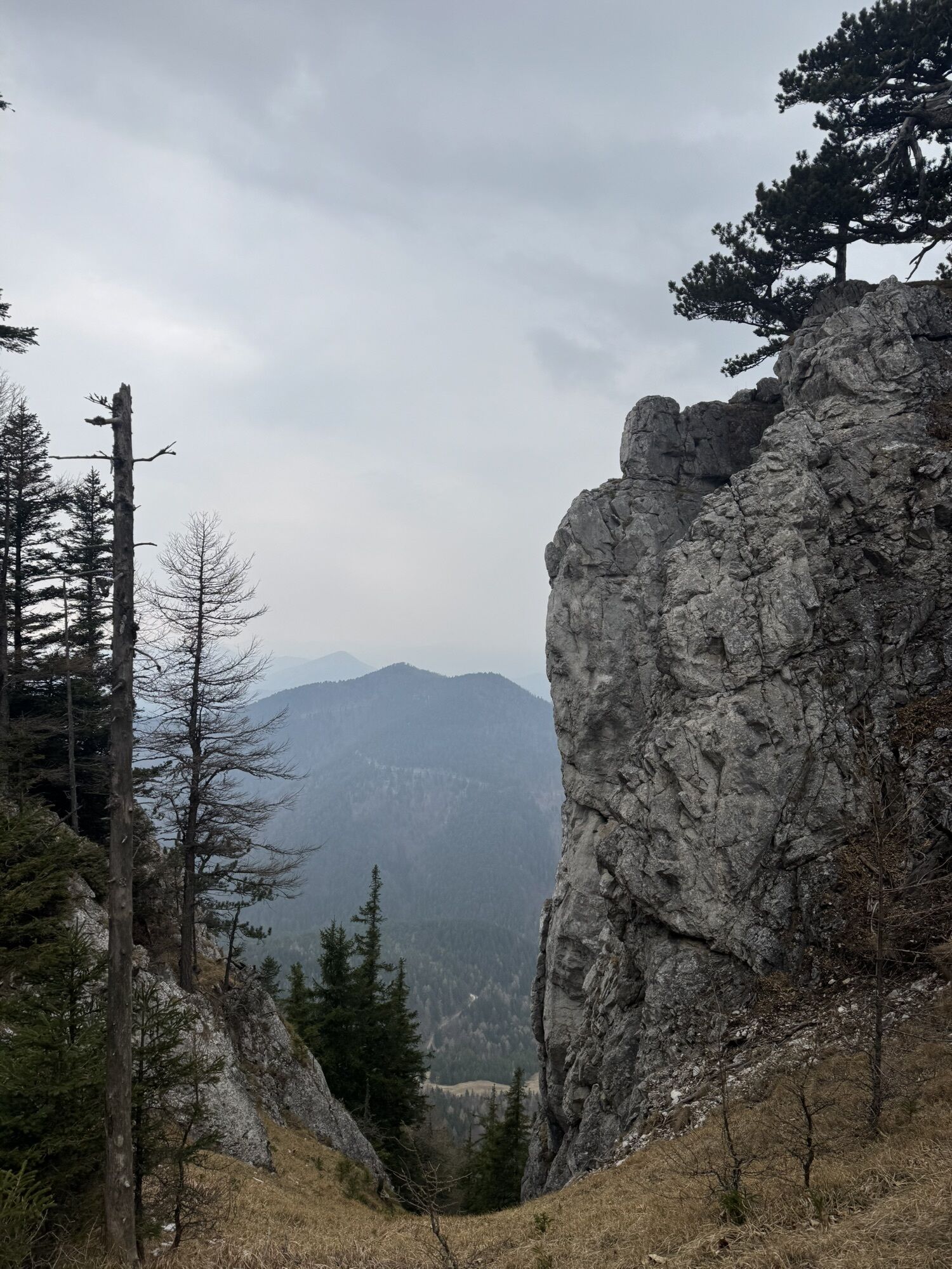
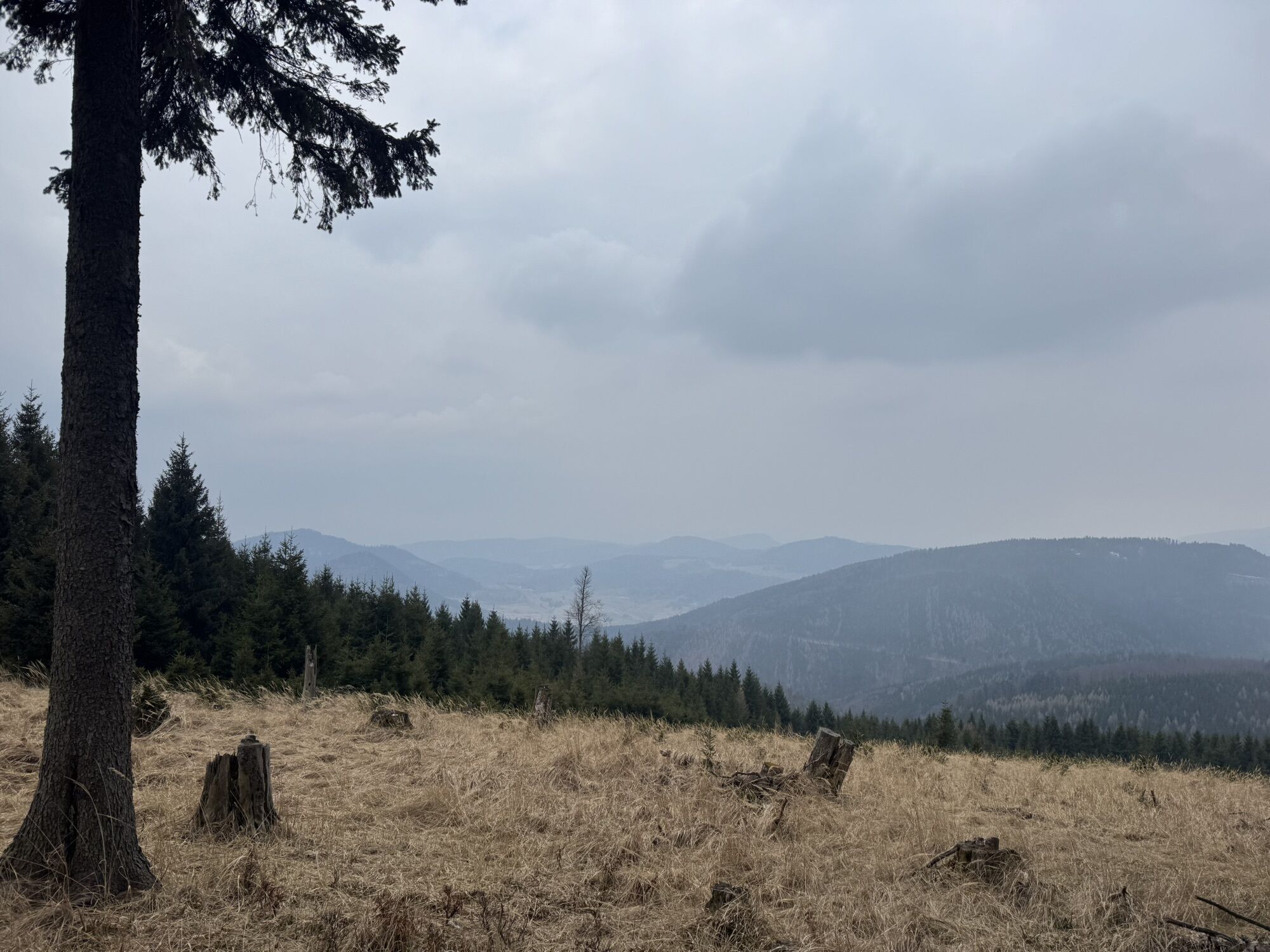
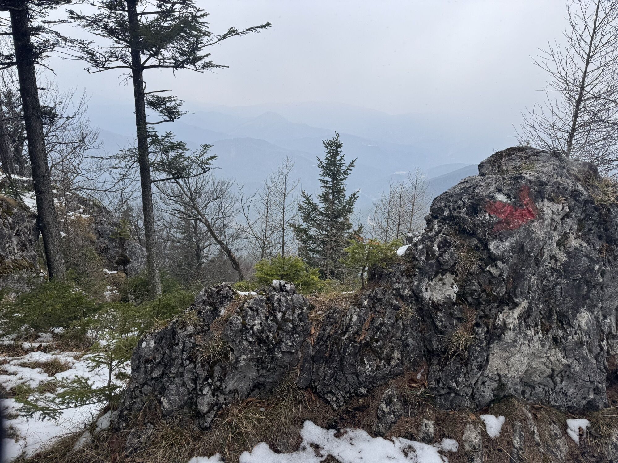
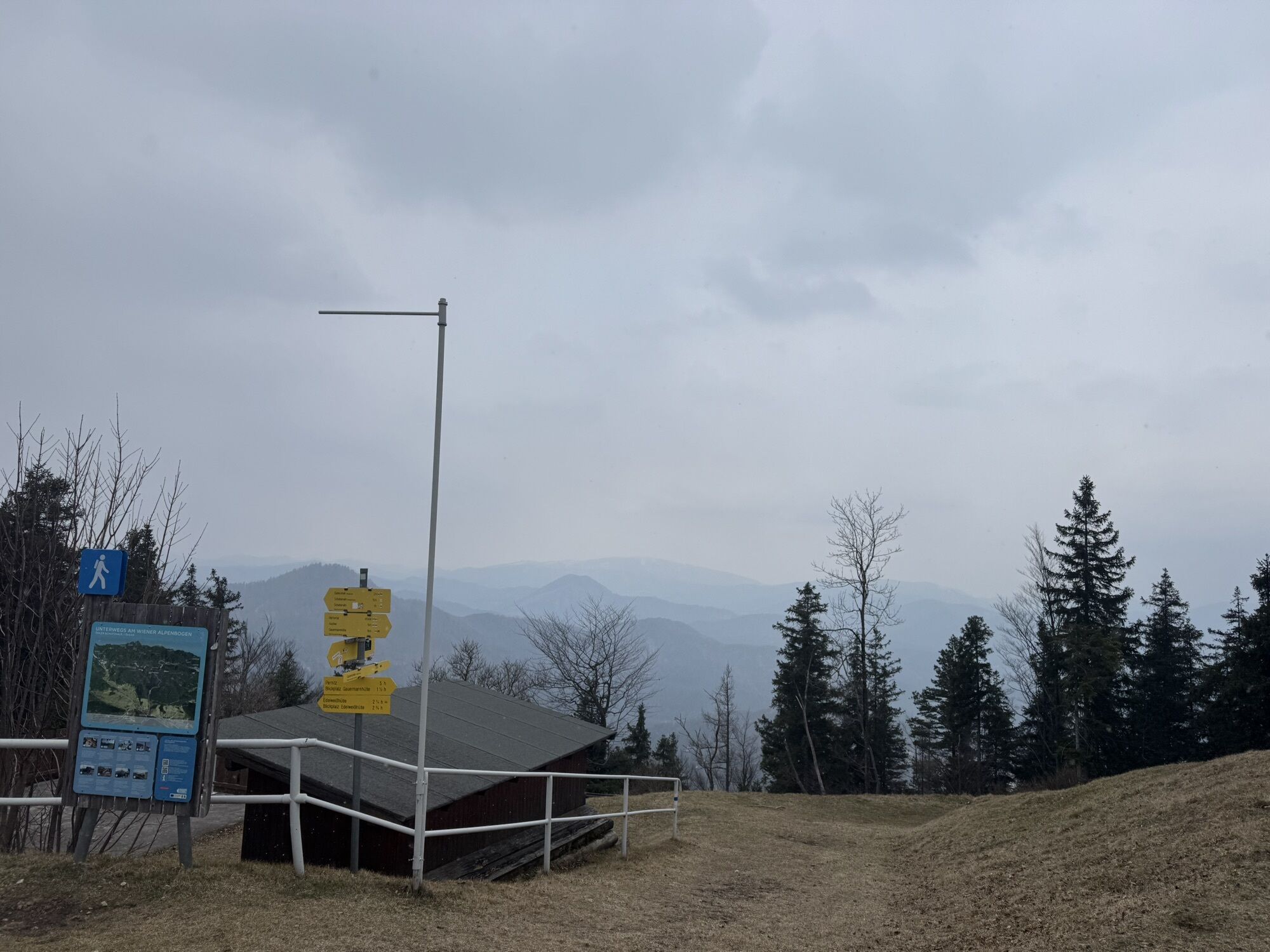
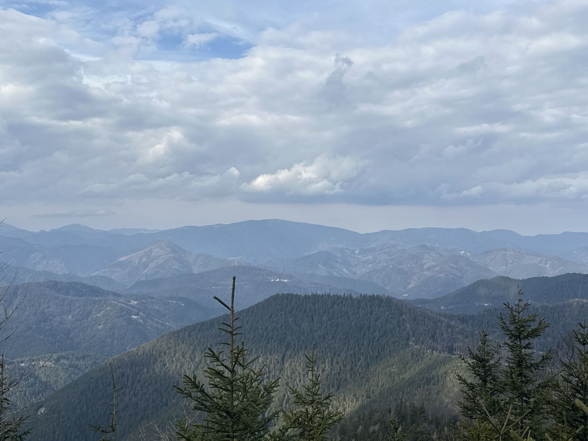
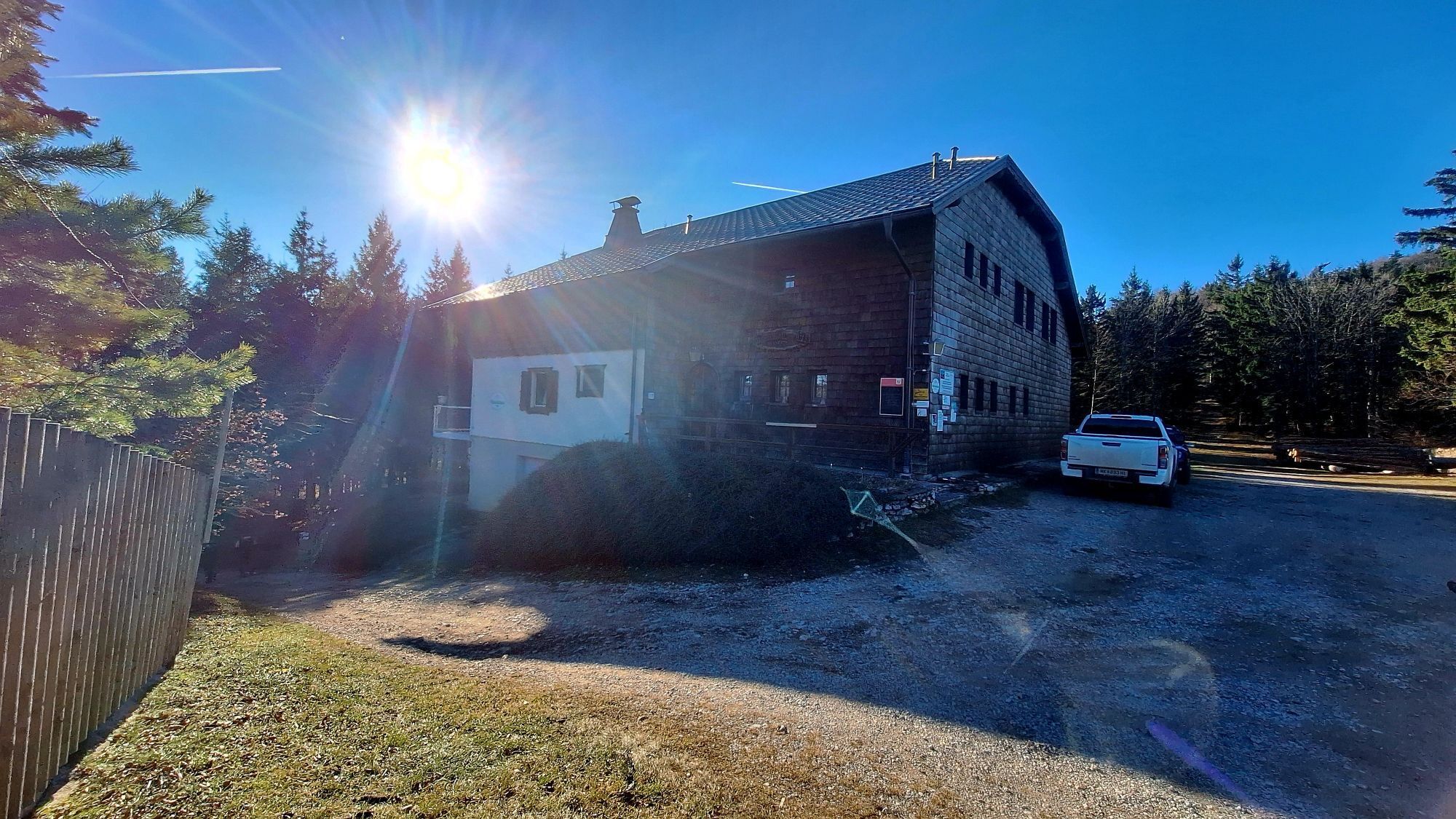
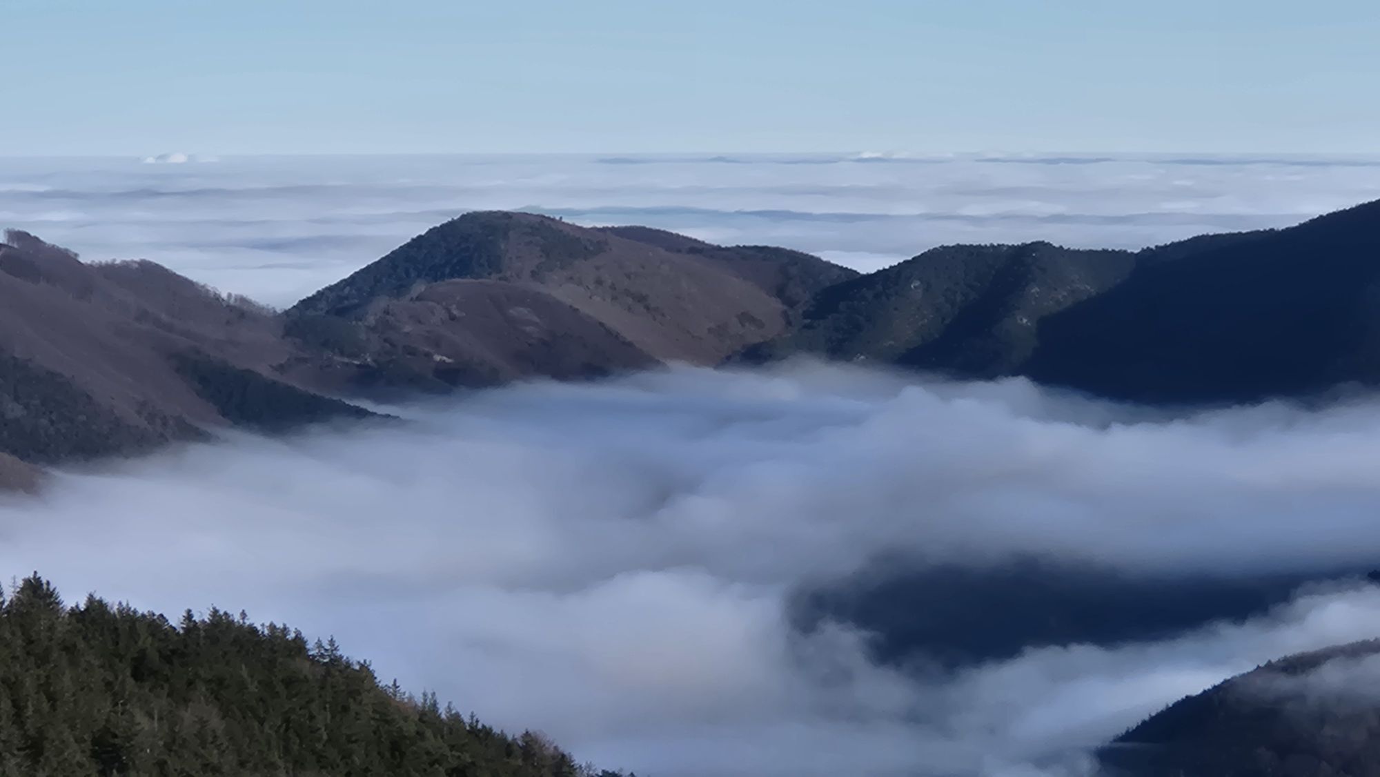
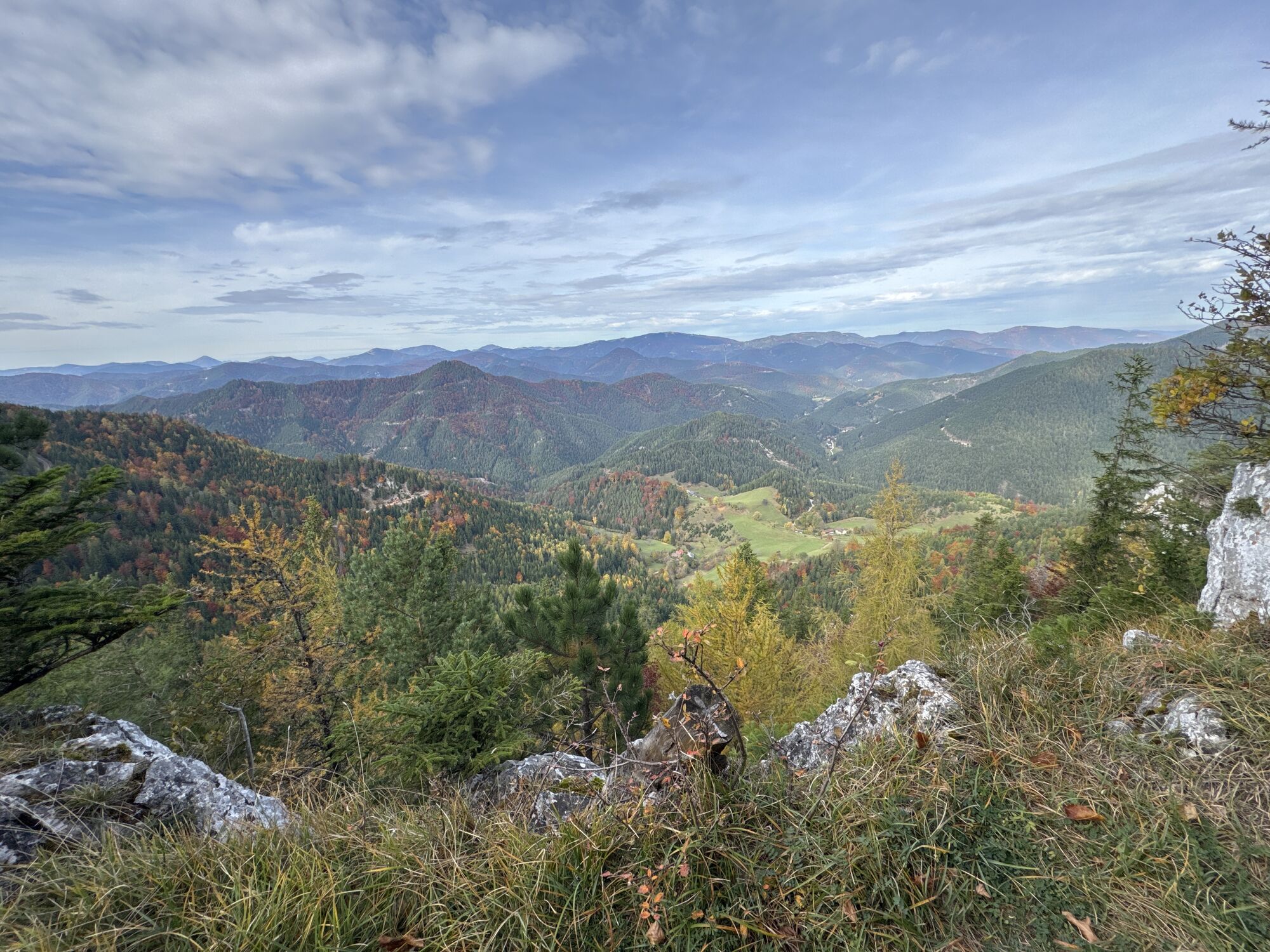
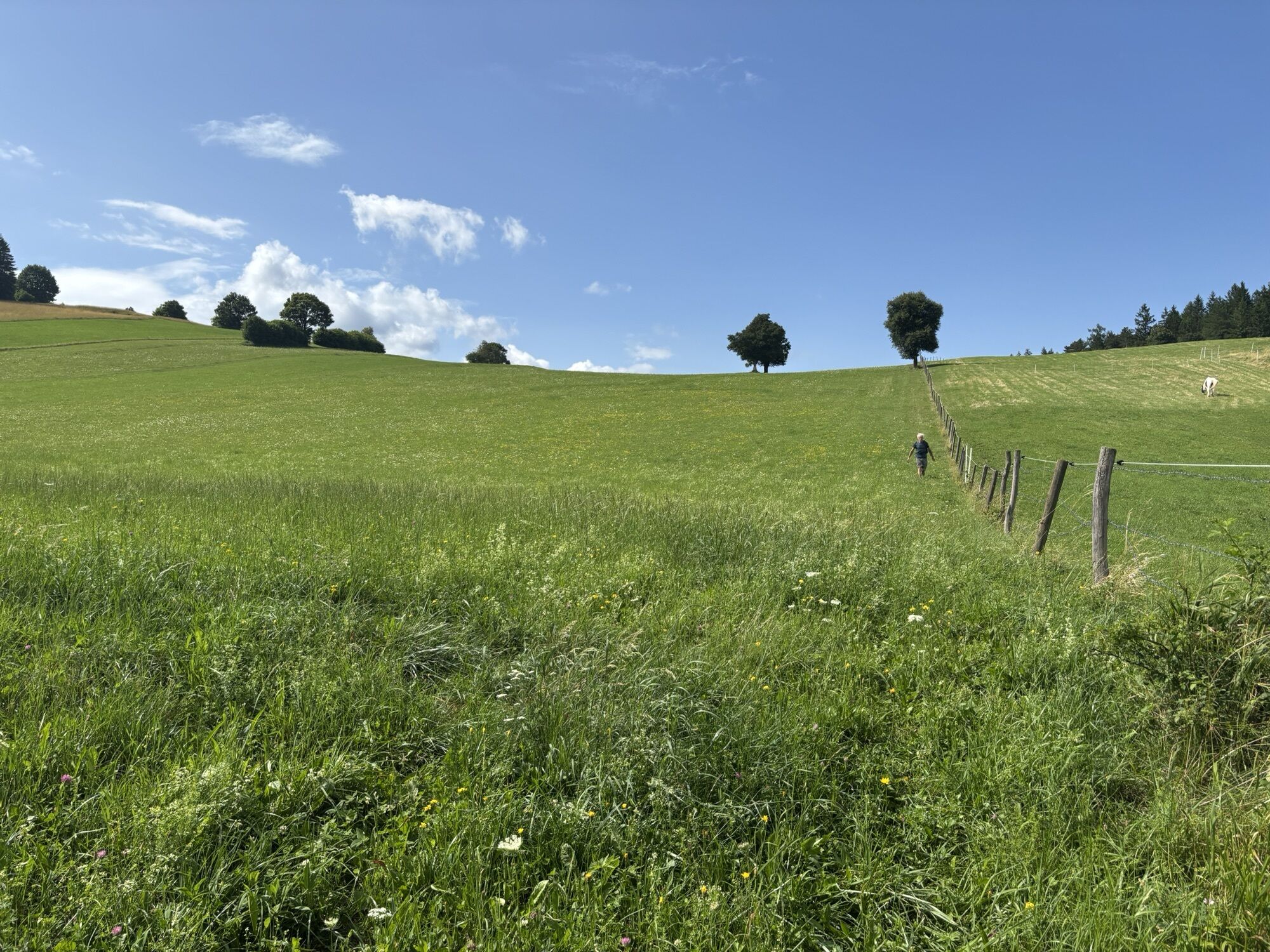
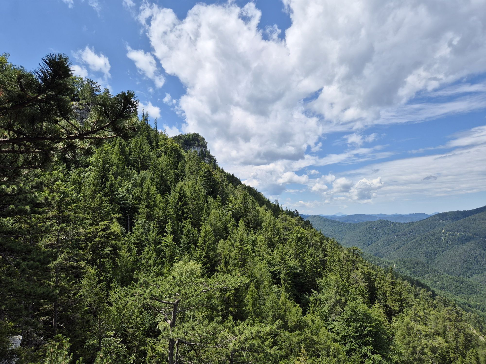
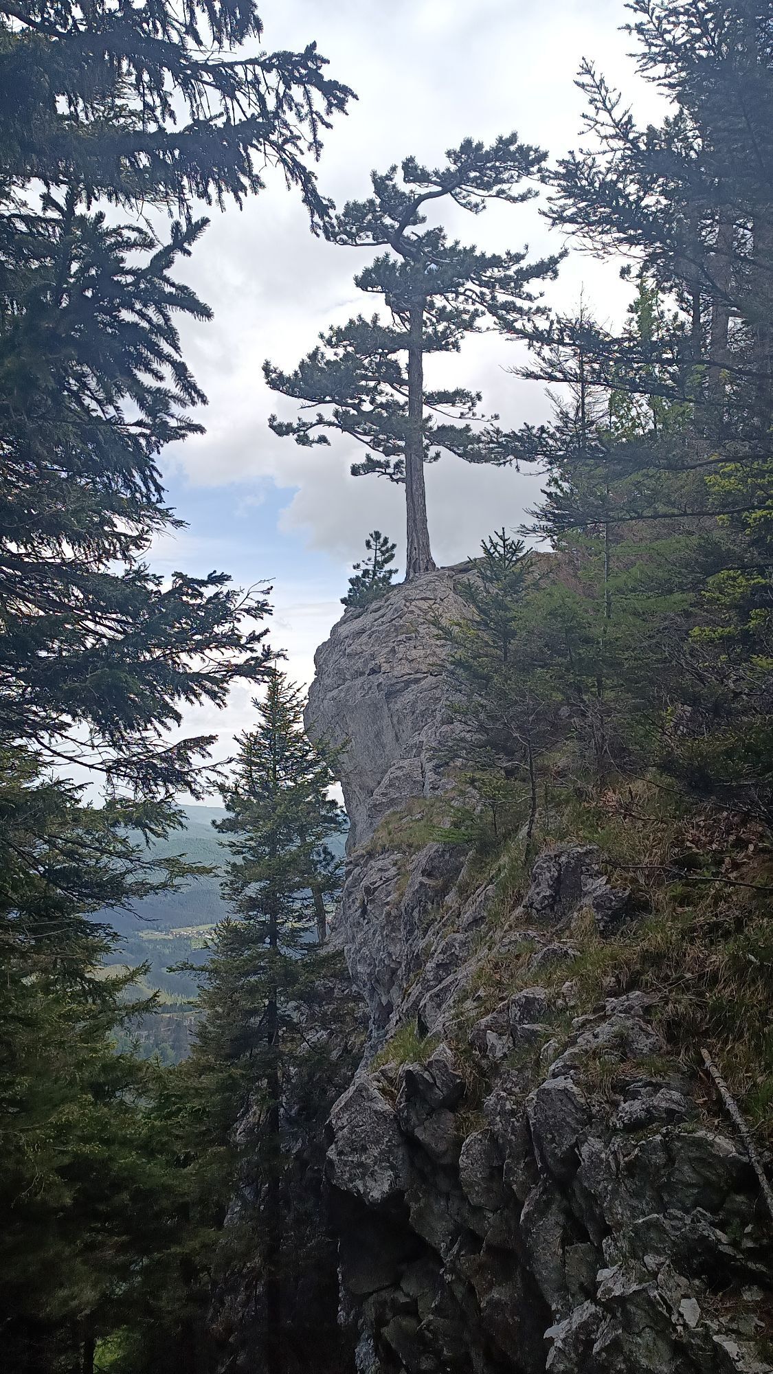
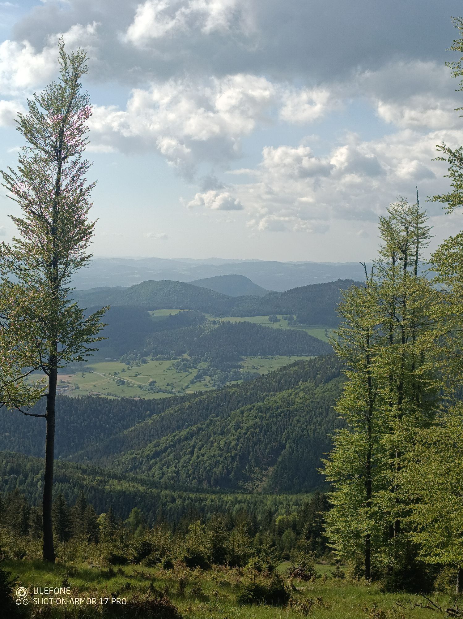
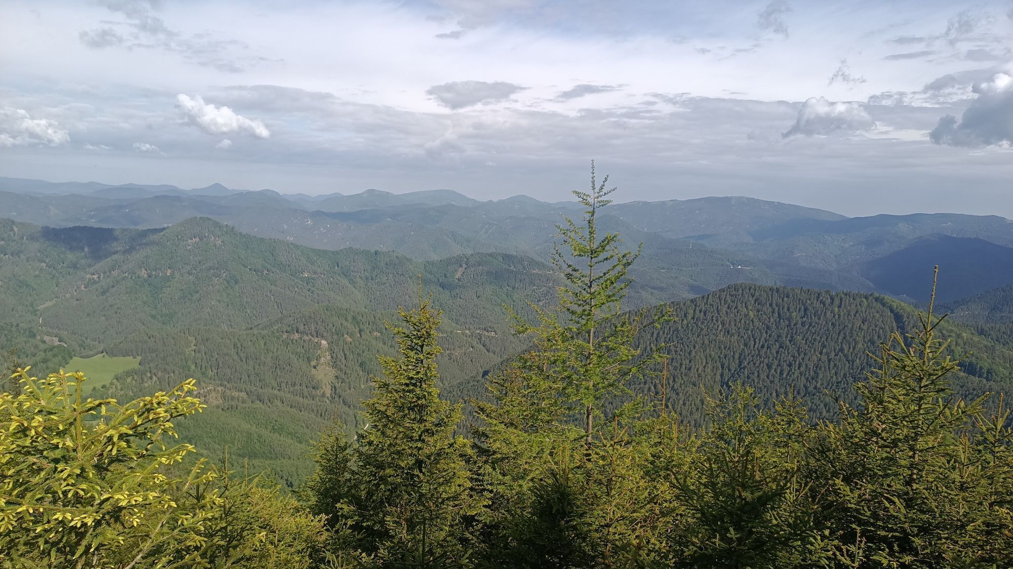
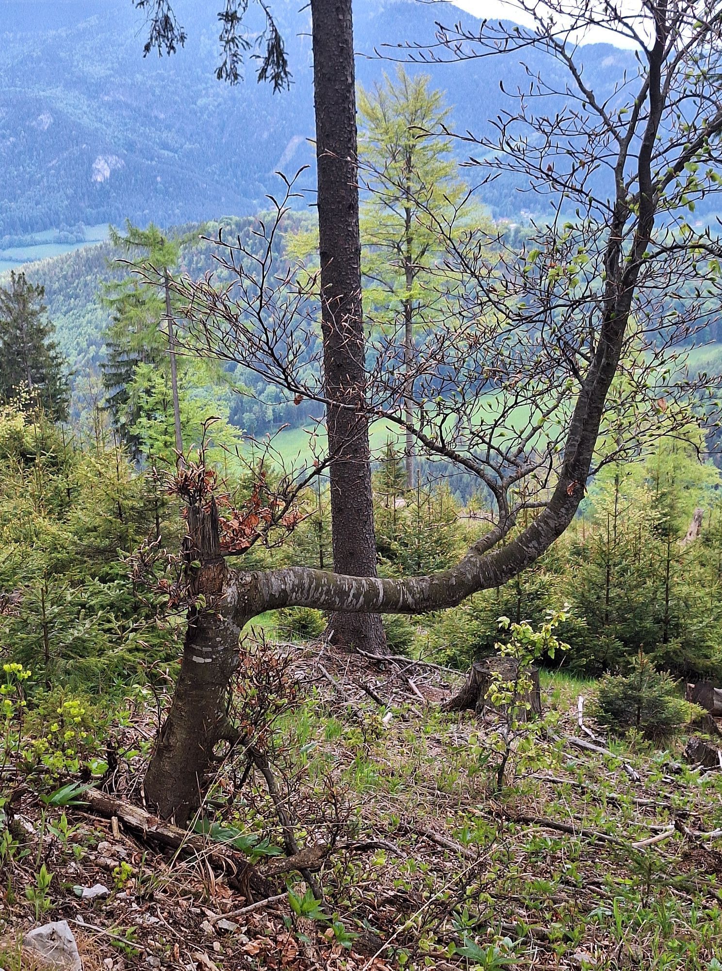
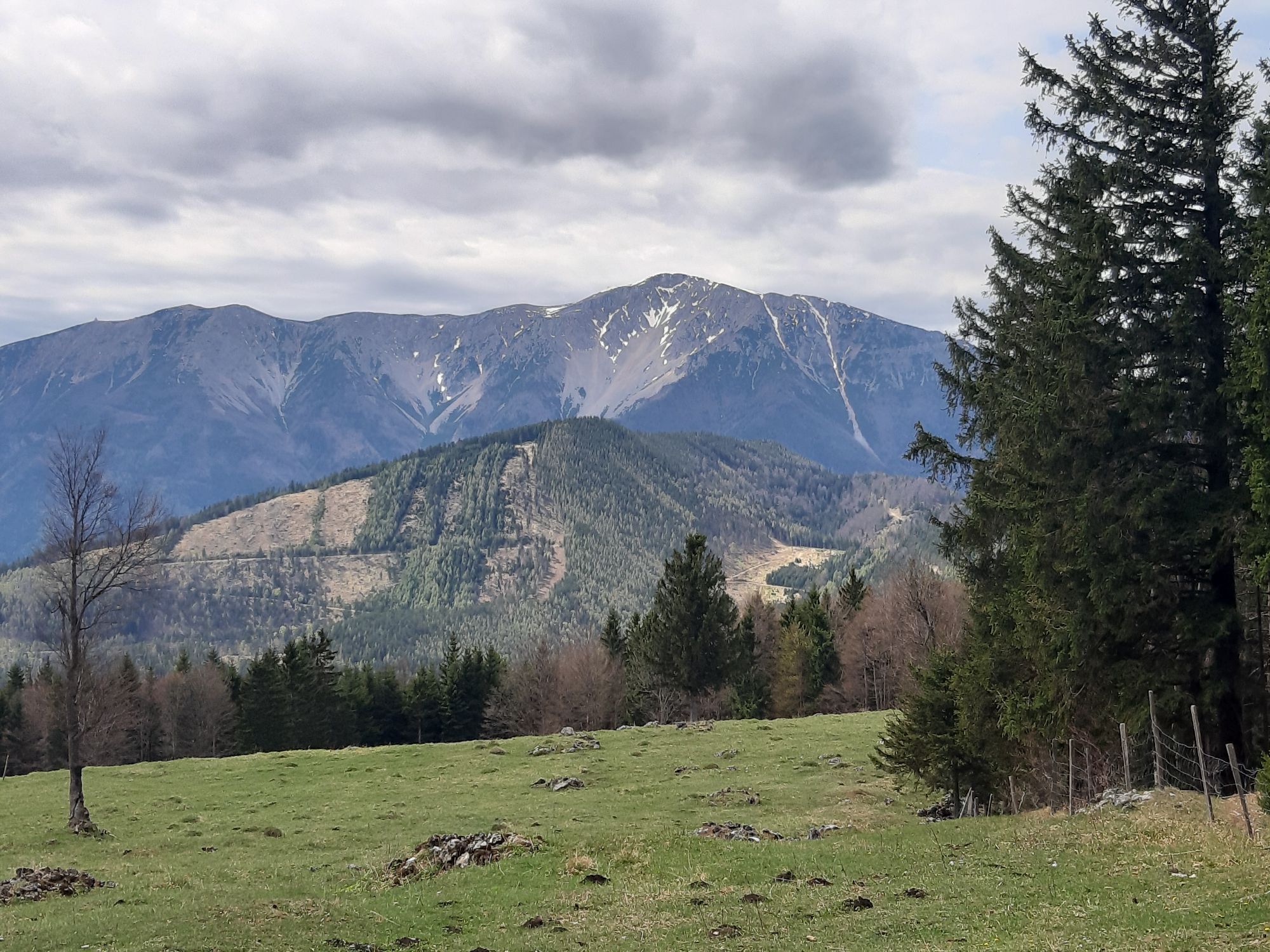
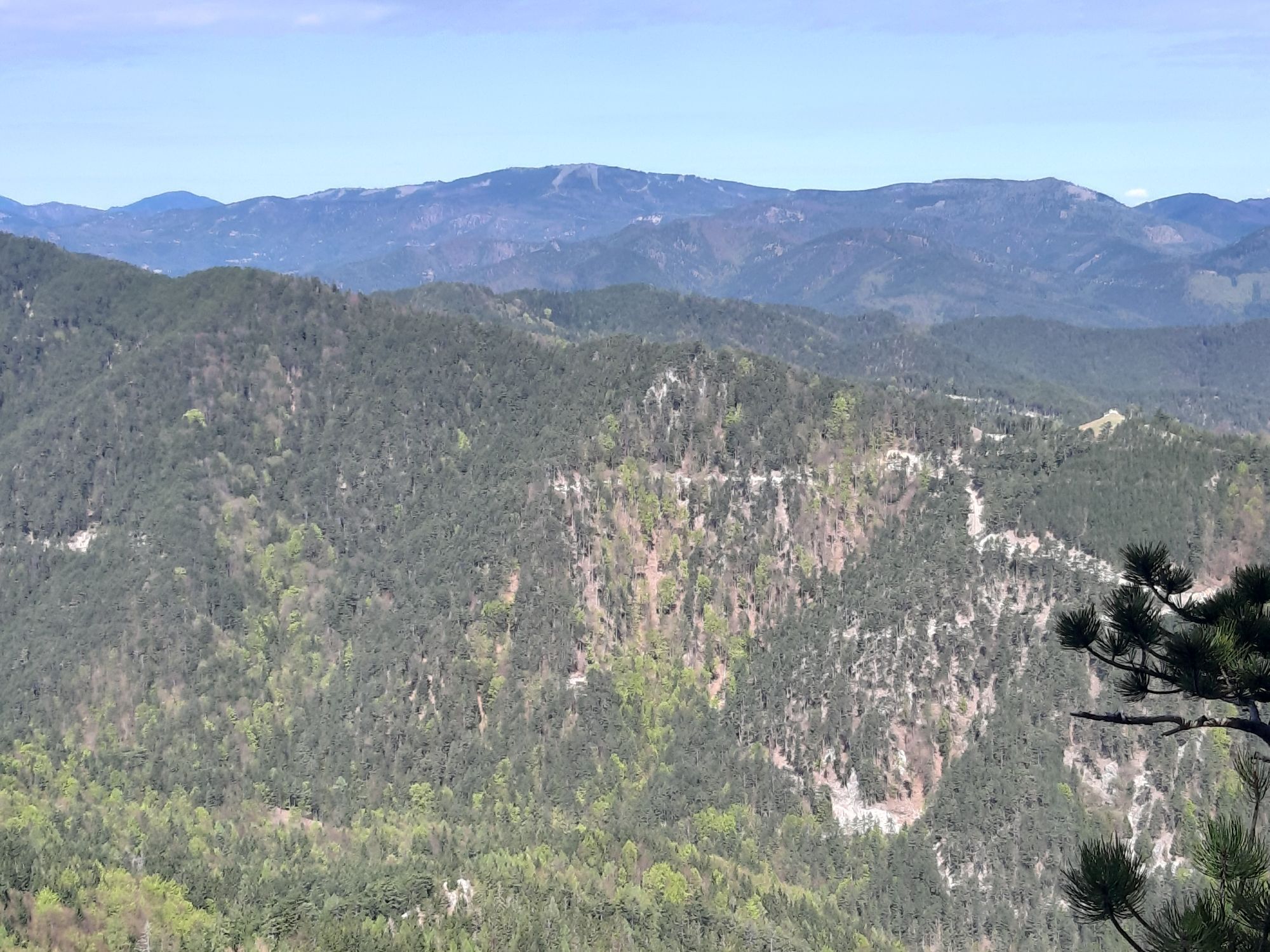
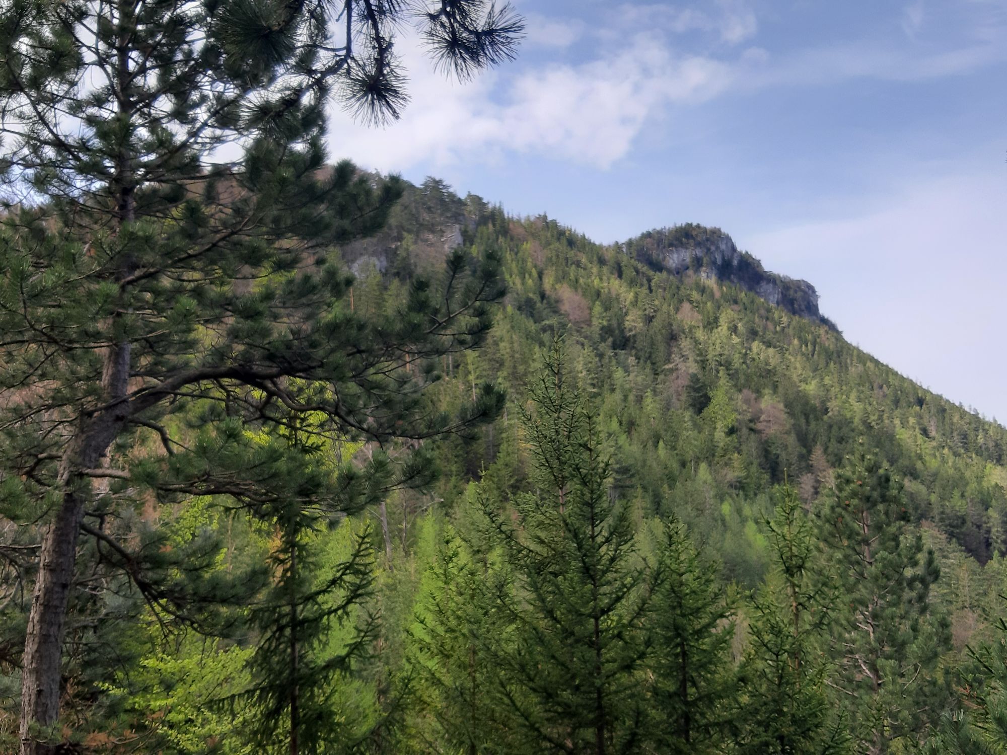
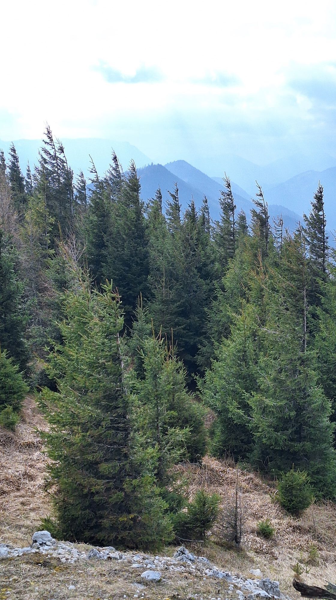
The stage from the Öhler Schutzhaus to Pernitz runs over the Dürre Wand and its two attractions, the Erzloch and Tablerhöhle caves. It continues northwards to Plattenstein, from the viewing spot at Gauermannhütte...
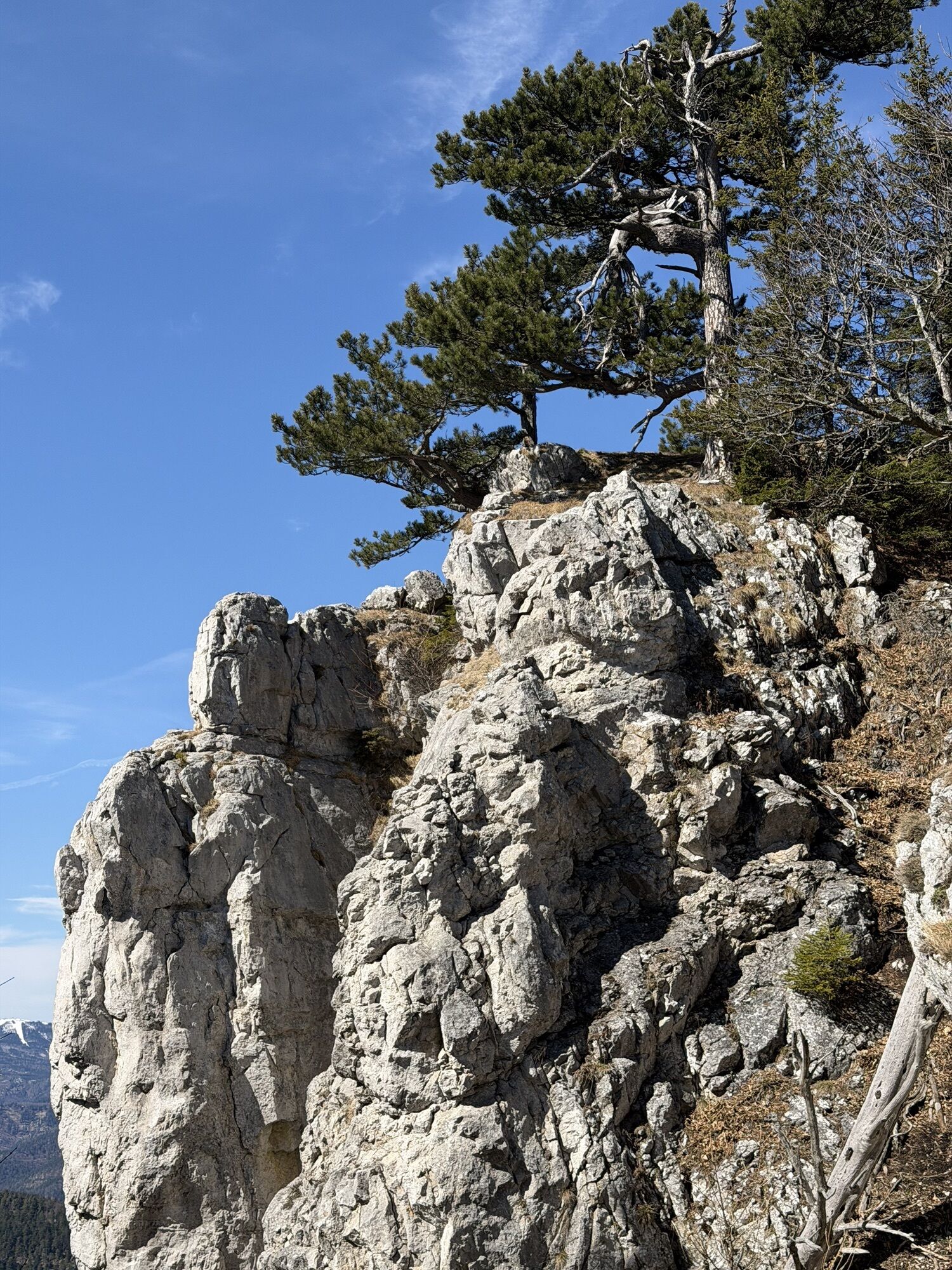
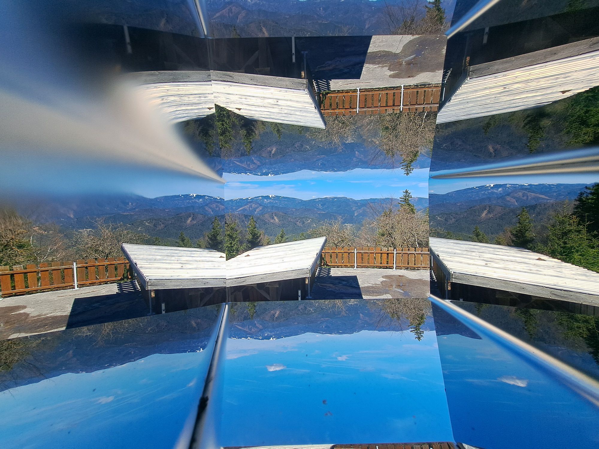
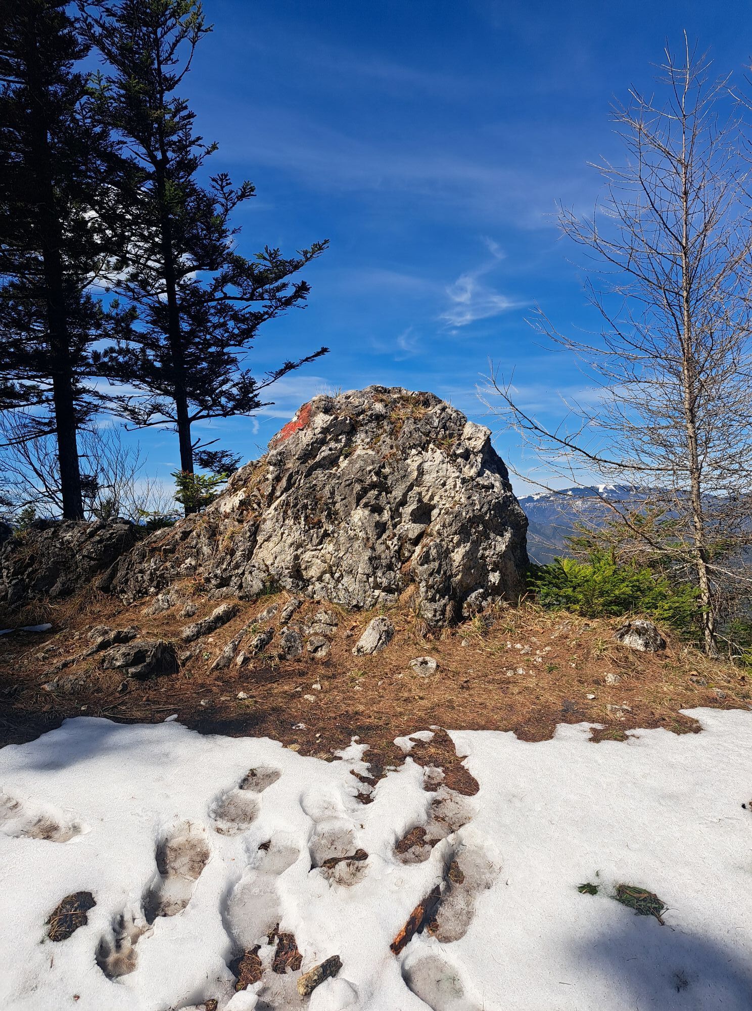
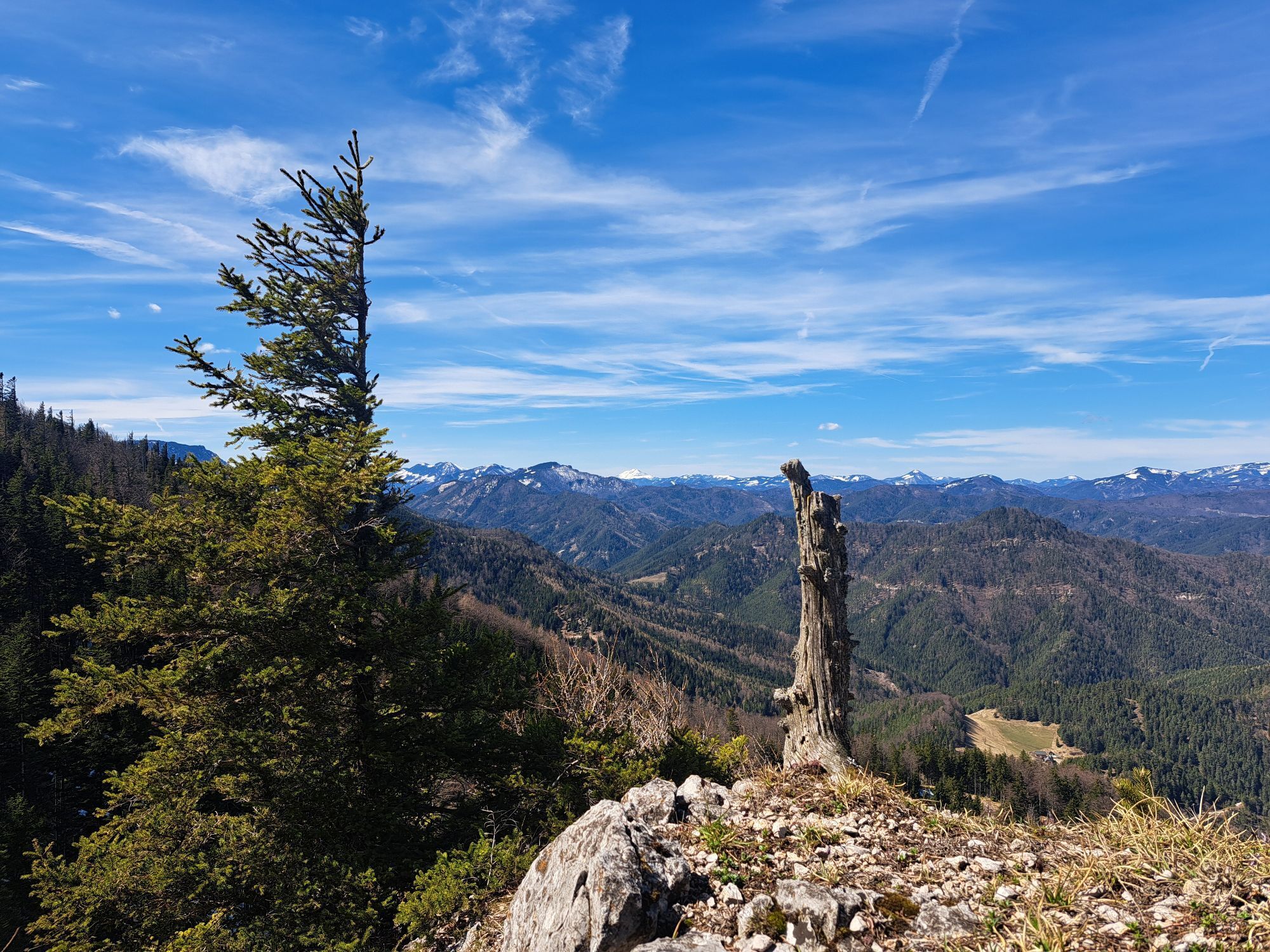
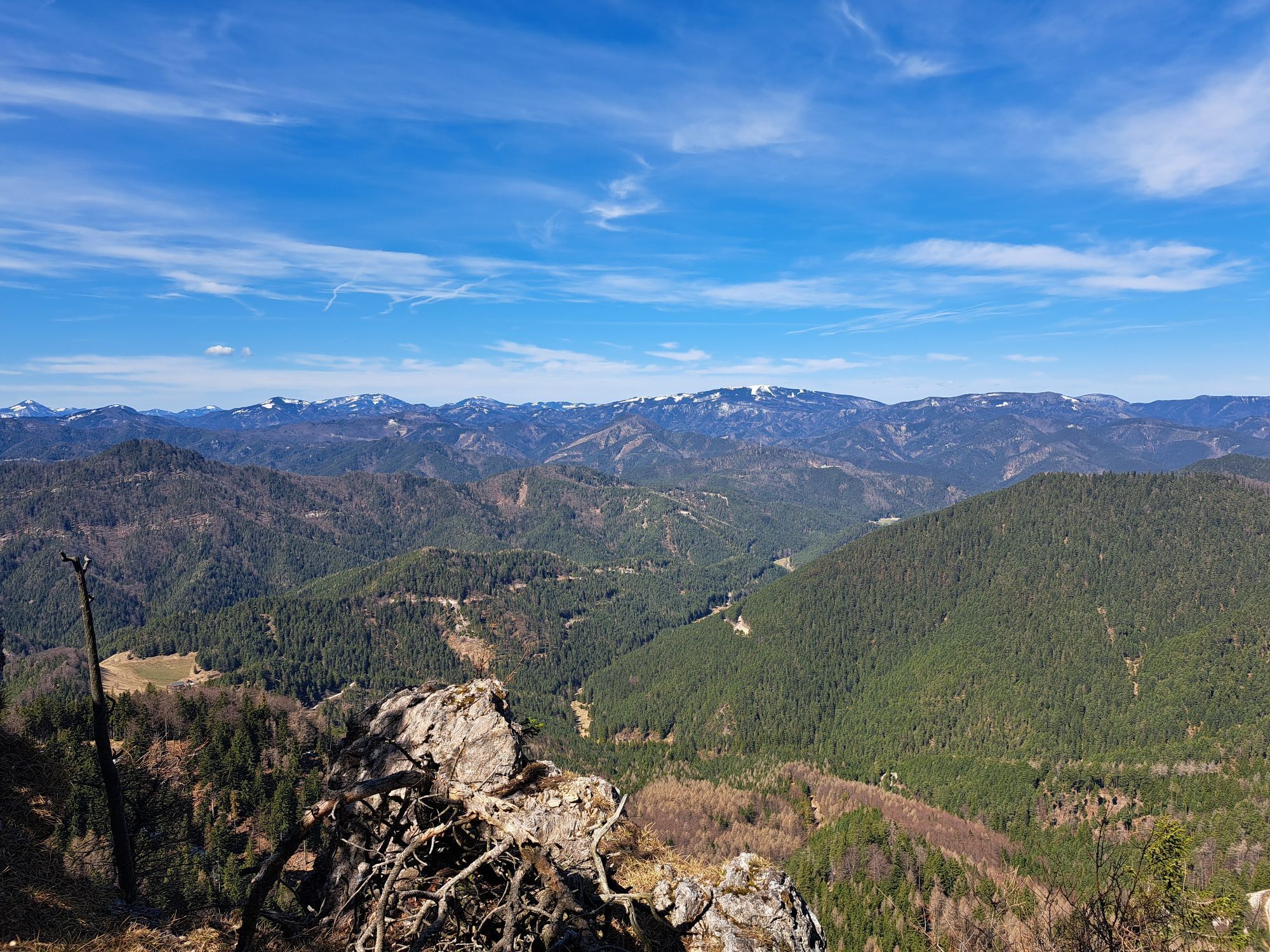
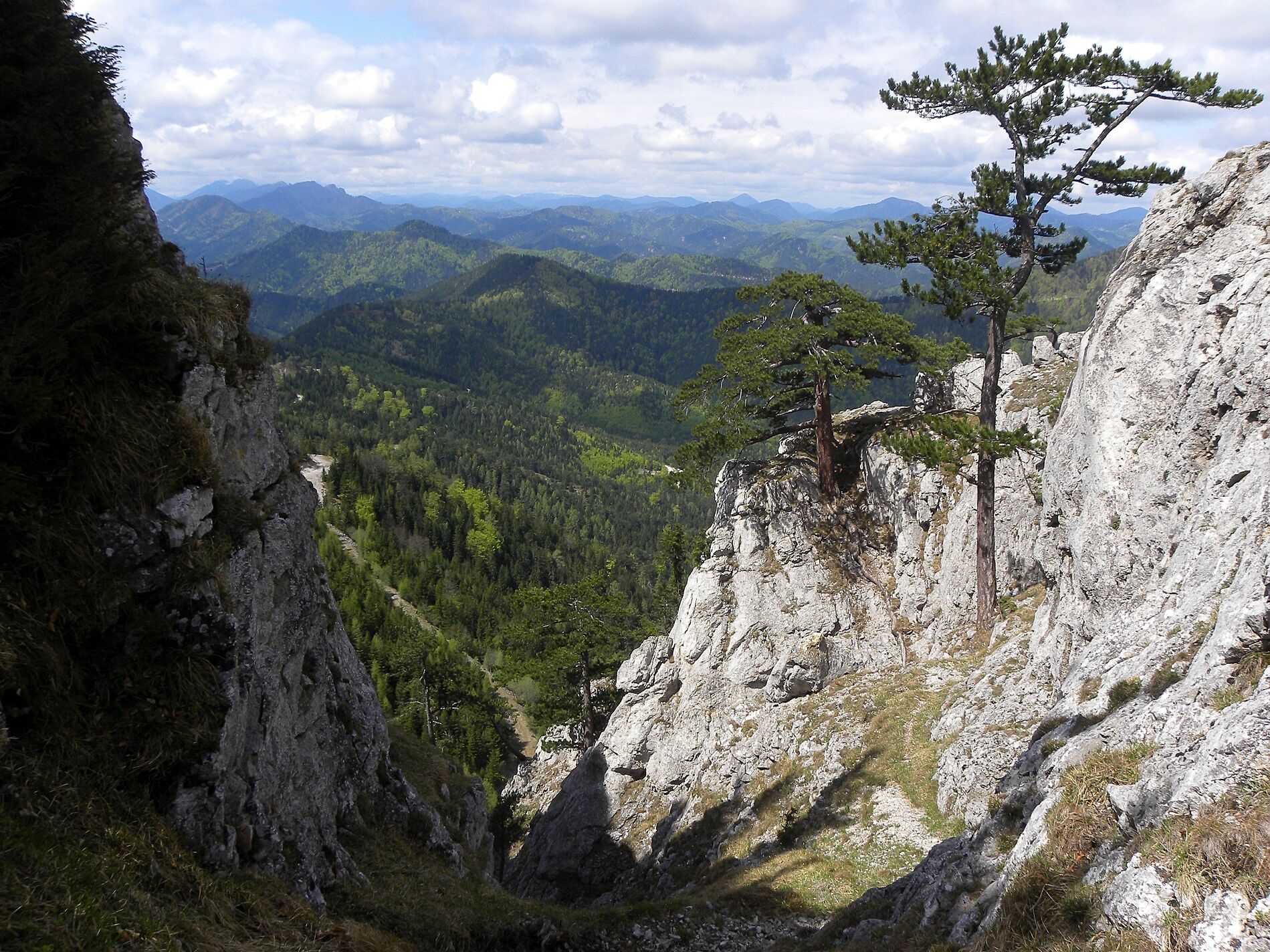
<p>The stage from the Öhler Schutzhaus to Pernitz runs over the Dürre Wand and its two attractions, the Erzloch and Tablerhöhle caves. It continues northwards to Plattenstein, from the viewing spot at Gauermannhütte you have an impressive 360° view of the surrounding landscape. A very special place! The path continues over Waidmannsfeld to Pernitz.</p>

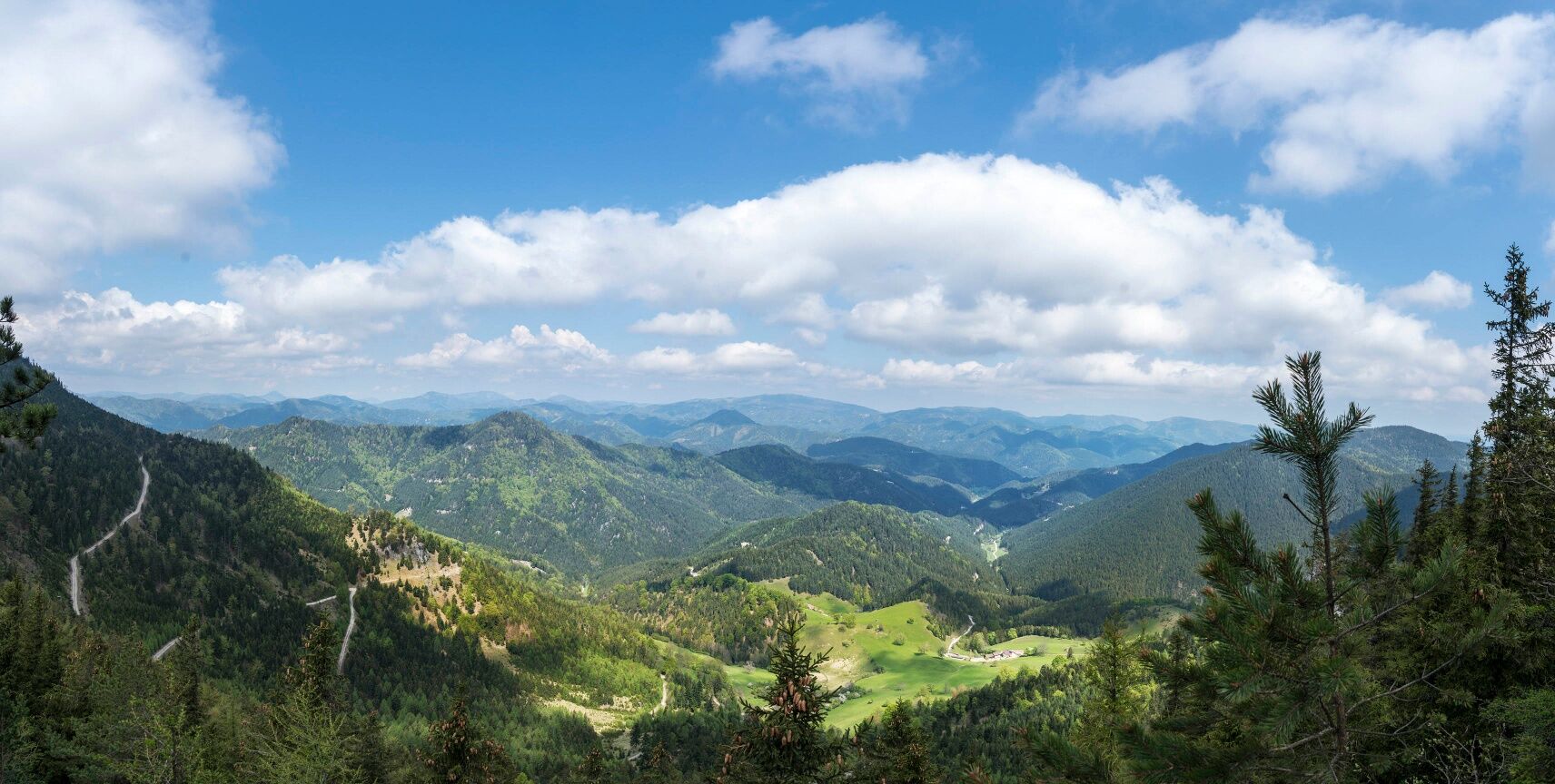
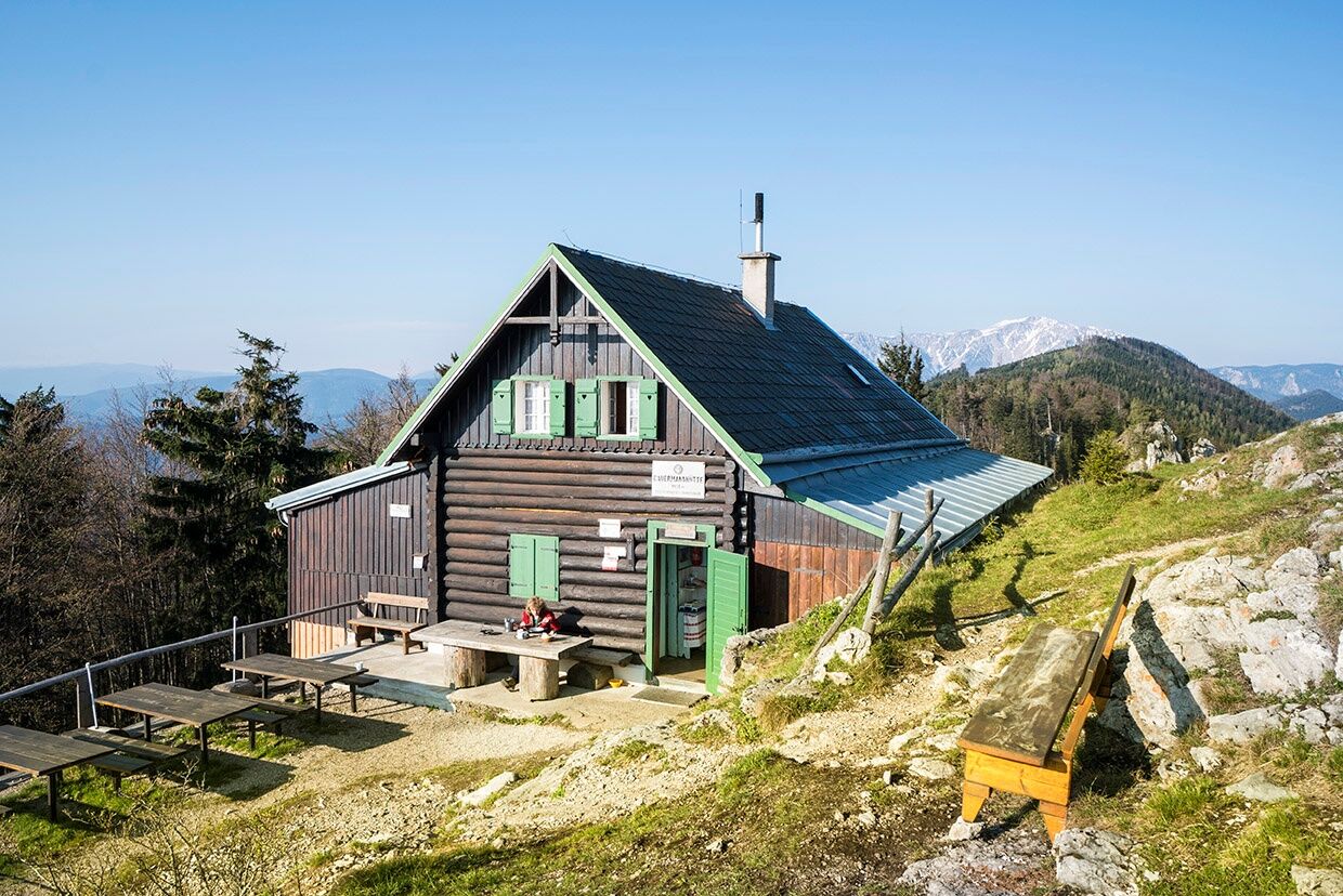

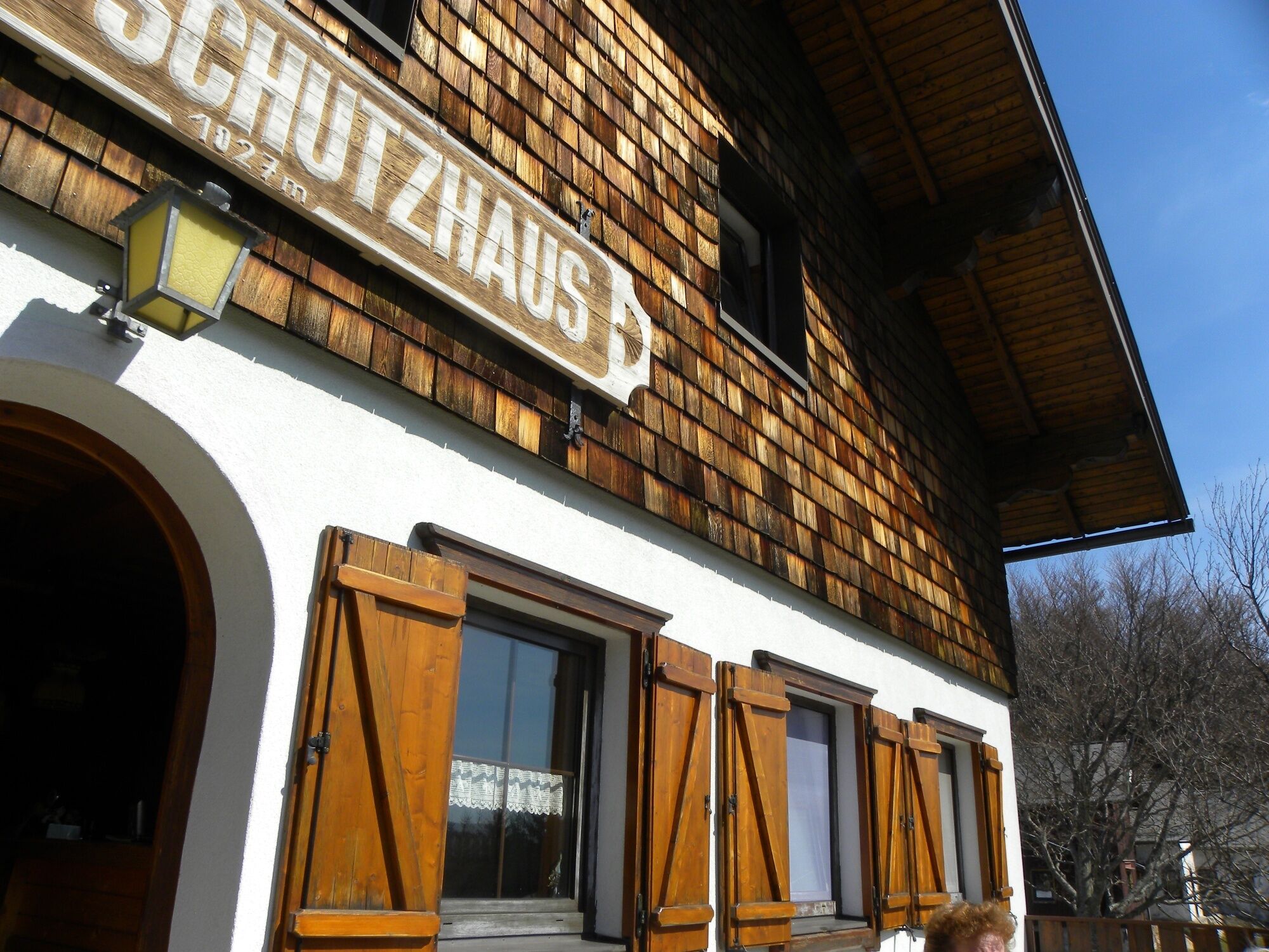
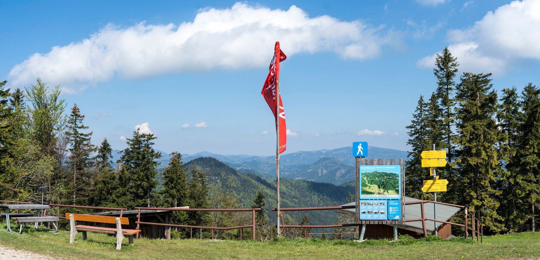
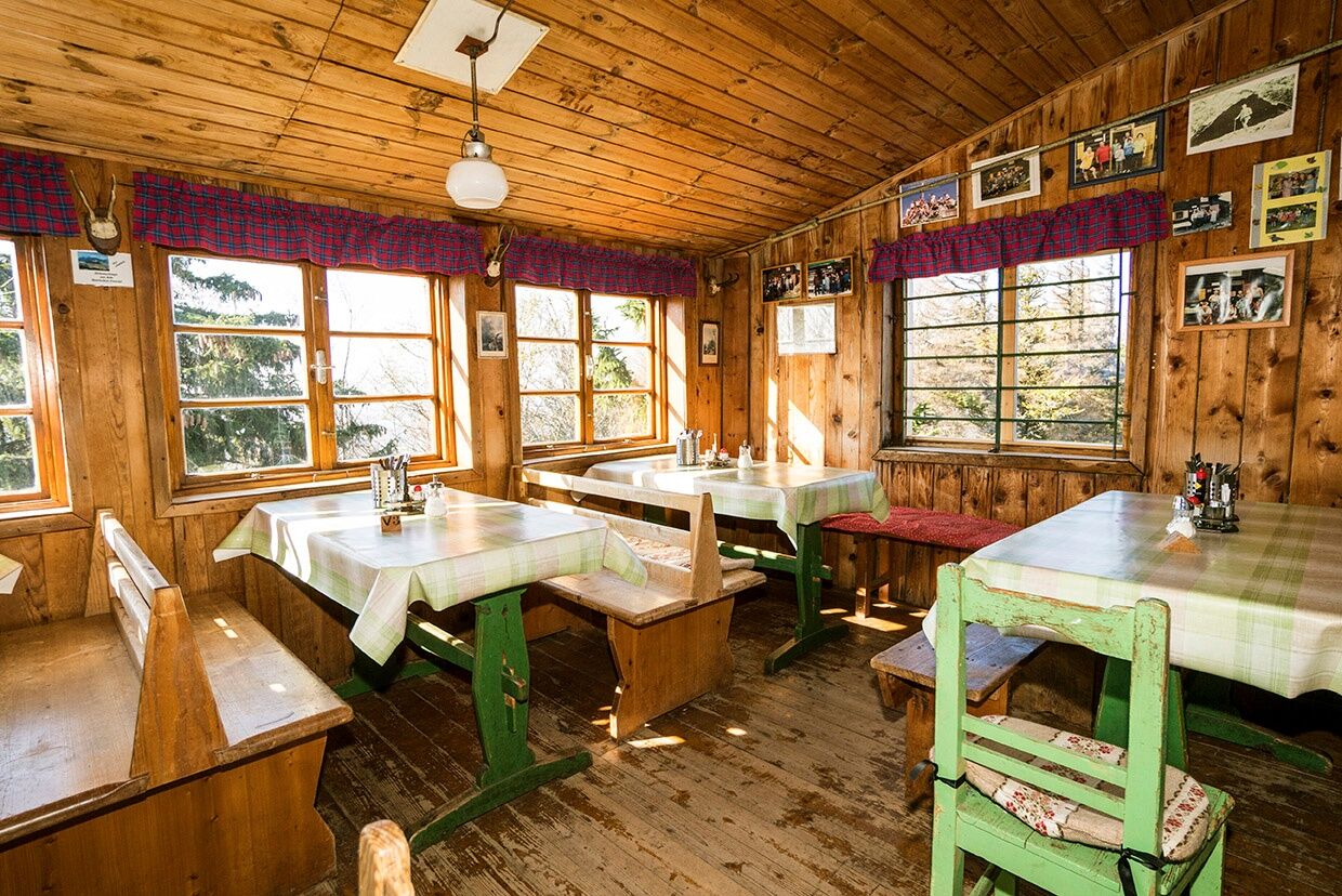
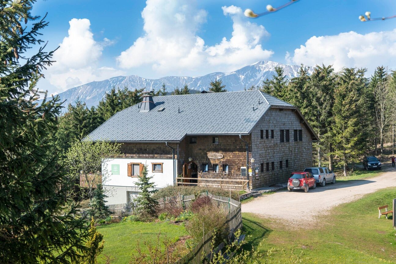
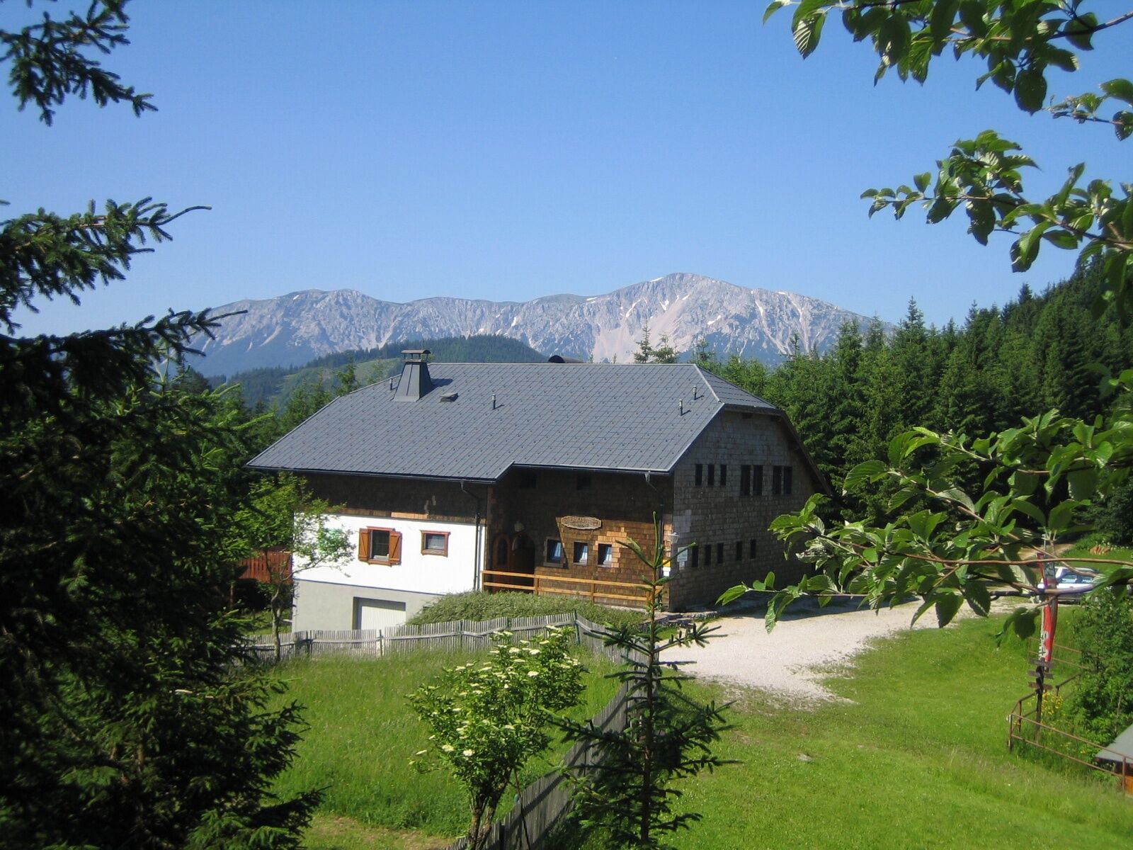
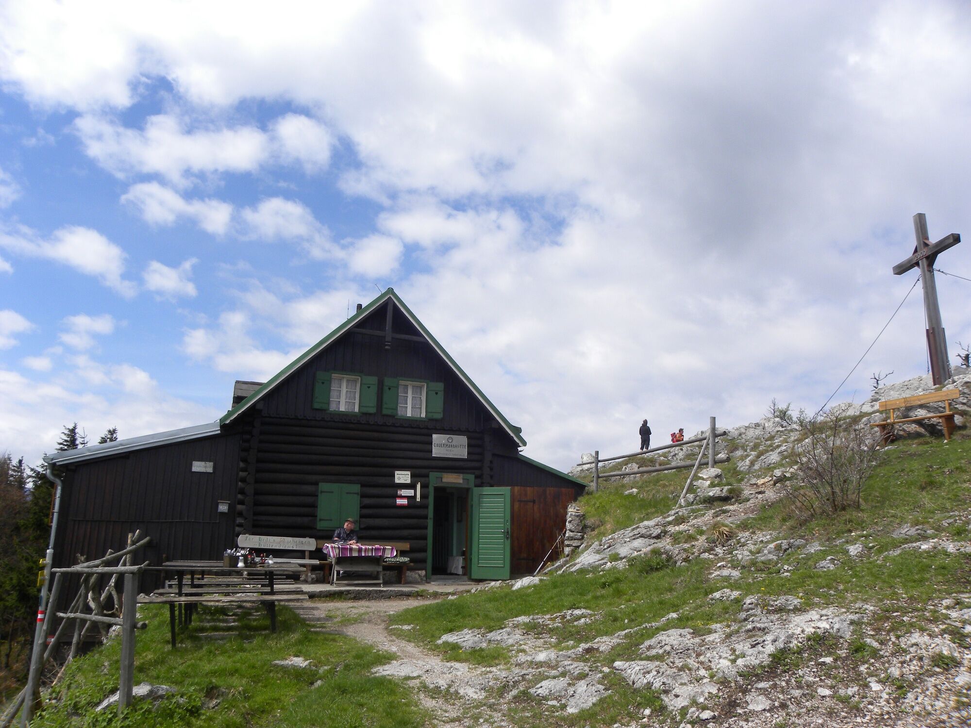


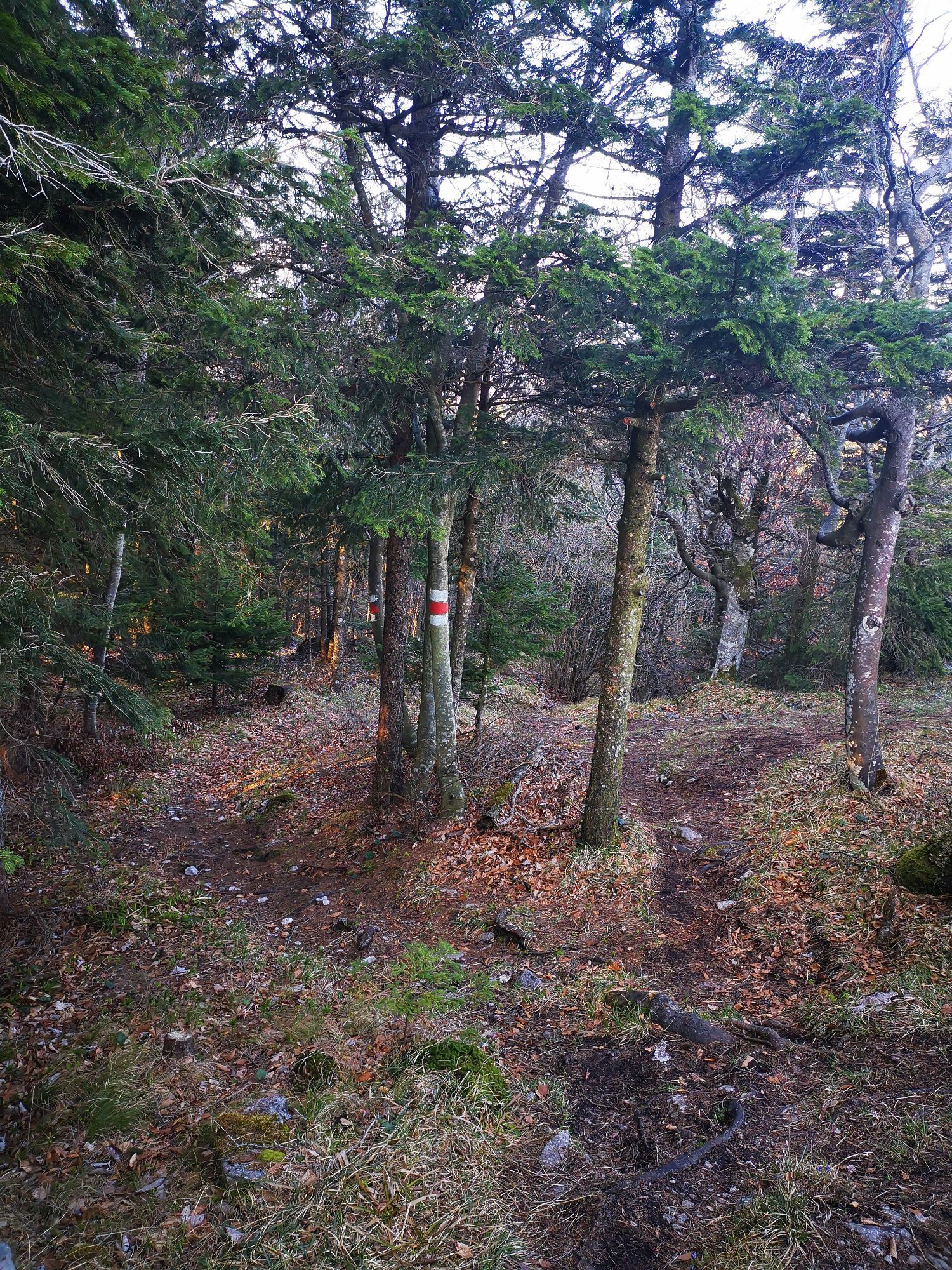
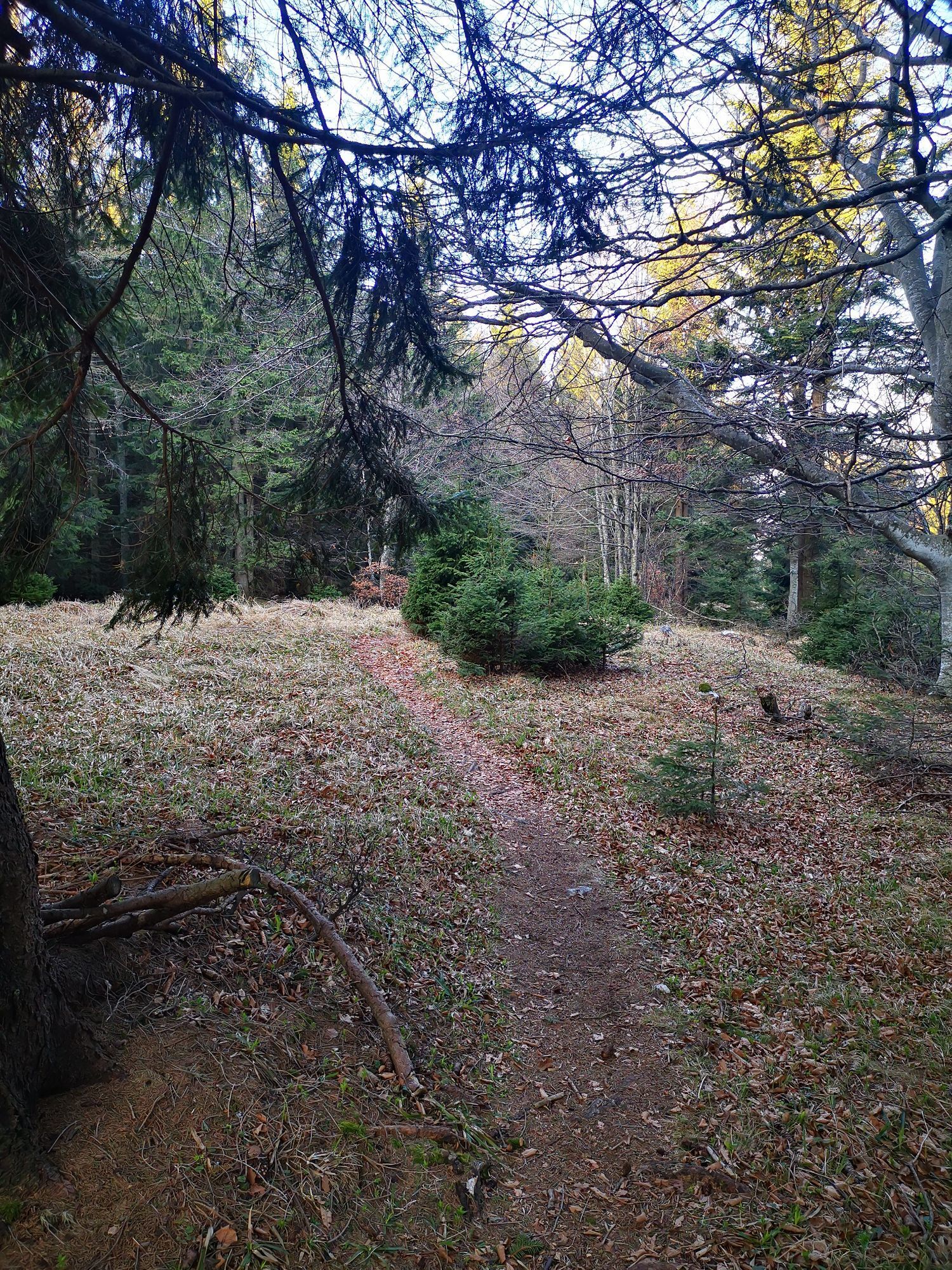
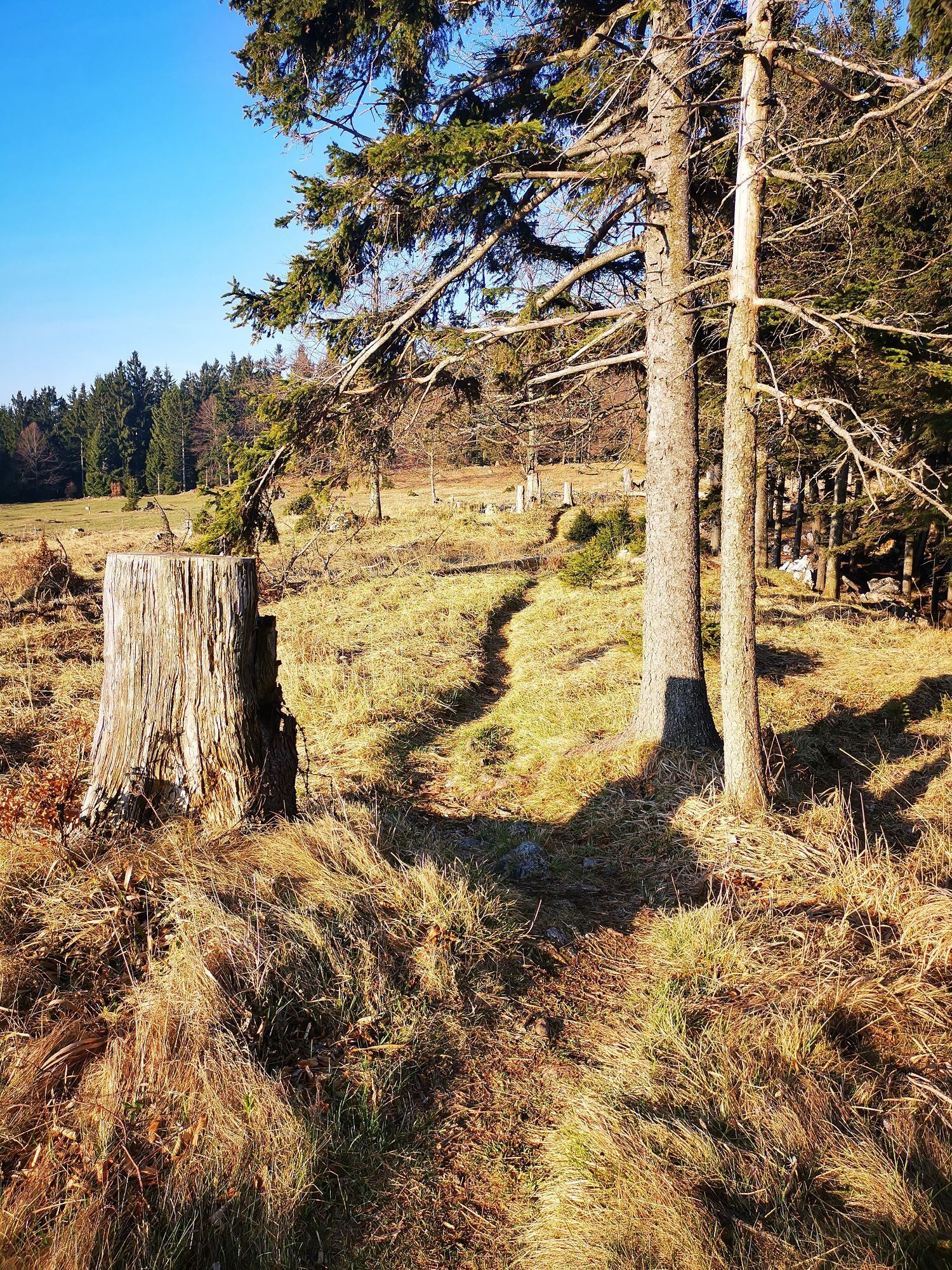
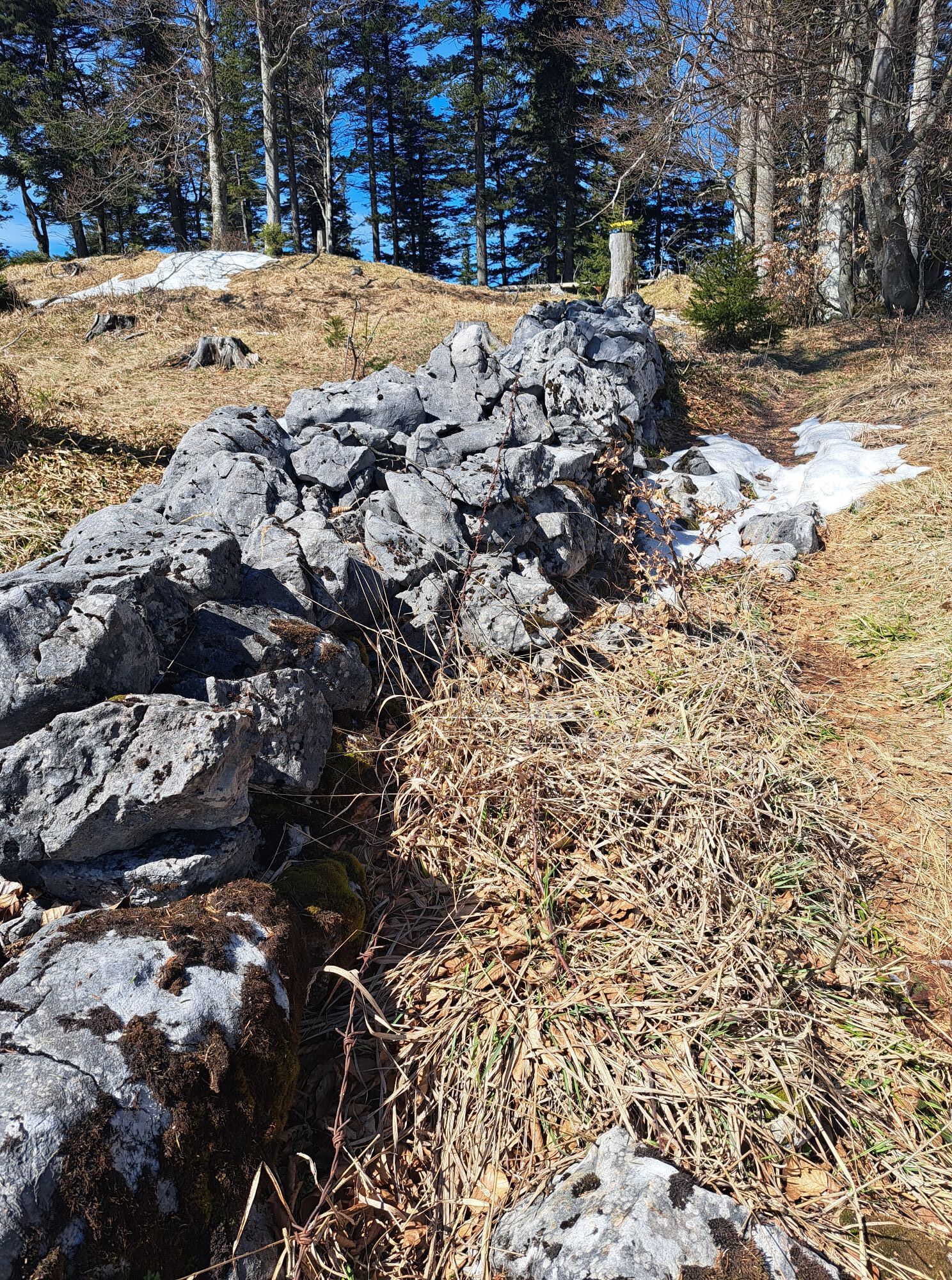
<p>After a warm farewell, we continue on the Wiener Alpenbogen with today's endpoint Pernitz. From the Öhler Schutzhaus, we follow the marked ridge trail gently ascending through the forest with few views towards Katharinenschlag. From the east side of the highest point of the Dürre Wand, we often look towards the Hohe Wand. Together with the red-marked Nordalpenweg and the Piestingtal circular hiking trail, meadow and forest paths lead gently downhill to the Gauermannhütte at the rocky Plattenstein (open Saturdays, Sundays, and public holidays). We follow the beautiful ridge trail northeast, passing near the Tablerhöhe further downhill. At the saddle south of the Martersberg, we take the footpath to the right and follow it above the settlement of Ungerberg to a cart track. Here we turn left, initially walking a few meters uphill before hiking downhill northwards, keeping right on the cart track towards Waidmannsfeld. At a small saddle, there is the option to turn right onto the forest road to Michlwirt. We continue on the Wiener Alpenbogen, about ten minutes later turning left near the forest edge and descend the meadow over the Waidmannsbach to the road near Waidmannsfeld. Here we keep left, shortly afterward veering half-right onto the Auweg, and hike on blue-marked paths to the Ochsenheide. We reach the connecting road Pernitz-Waidmannsfeld and walk 500 meters along the road northwards. After a parking lot, we switch to a forest path, shortening the road, but before Neusiedl, we meet the road again. We follow the main road through the town and reach the B21 near Pernitz after a few minutes. To the right is the Pernitz-Muggendorf station, the town center with the municipal office is located just right of the B21 following shortly.</p>
<p>Mountain-appropriate equipment is absolutely necessary!</p><p>Please note that this route leads into high alpine terrain.</p><p>Always carry suitable maps. Wear sturdy shoes adapted to the tour, bring sun and rain protection as well as water and a small snack. Take your mobile phone and save the mountain rescue emergency number: 140</p>
<p><strong>Safe in the mountains</strong></p><p>Your hikes in the Vienna Alps should be a completely enjoyable and safe experience. Please observe the following:</p><p><strong>Preparation </strong></p><p>Make sure when choosing the route that it matches your mountain experience and <strong>fitness</strong>. Check the <strong>weather report</strong> in advance. Weather can change rapidly in the mountains. Always set off equipped accordingly (e.g., rain protection).</p><p>Check whether the <strong>huts and snack stations</strong> you want to visit are open. <strong>Inform</strong> someone about your chosen route and planned return before setting off.</p>
<p>The Öhler Schutzhaus is located in alpine terrain and is only directly accessible on foot.</p><p>If coming from Vienna and Graz, take the A2 to the exit Wr. Neustadt West. Take the B26 to Puchberg am Schneeberg.</p>
<p>The Öhler Schutzhaus is located in alpine terrain and cannot be reached directly by public transport.</p><p>It is recommended to combine this route with the preceding stage Edelweißhütte-Öhler Schutzhaus or the following stage Öhler Schutzhaus-Pernitz. Travel by train via Wiener Neustadt to Puchberg station. From there, continue by regional bus 1720 to Losenheim and change until the Sesselbahn stop. With the Schneebergbahn chairlift, you can get very close to the Edelweißhütte. Alternatively, you can also climb directly from Puchberg/Schneeberg to the Öhler Schutzhaus.</p><p>More information can be found at <a href="oebb.at">www.oebb.at</a>...
<p>Parking is available at Losenheim at the Schneeberg chairlift parking lot and in Puchberg/Schneeberg.</p>
Also explore the connecting routes:
WAB - Stage 15: Edelweißhütte - Öhler Schutzhaus
WAB - Stage 17: Pernitz - Waxeneckhaus
Vienna Alps in Lower Austria, www.wieneralpen.at, +43 / 2622 / 78960
Tourism Office Puchberg am Schneeberg, www.puchberg.at, +43 / 2636 / 2256
You can stop and spend the night at the Öhler Schutzhaus, the Gauermannhütte is open on weekends.
Combine your hike with an overnight stay at the Tirolerhof in Pernitz.
Webcams del recorrido
Infórmate
Siempre en directo con más de 9.500 webcams. bergfex Como usuario Pro, ahora puede ver las webcams correspondientes a muchos tours en la app de tours desde. Esto le permite ver las condiciones actuales directamente.
Rutas populares en los alrededores
-
4,6
Losenheim: Edelweißhütte - Fadensteig - Fischerhütte
medioSenderismo 11,5 km -
4,7
Zahnradbahn und Wandern am Schneeberg - Plateauwanderung
medioSenderismo 6,90 km -
4,9
Insider tip: Schneeberg via the Novembergrat
pesadoSenderismo 13,5 km -
4,9
SCHNEEBERG Losenheim Nandlgrat Klosterwappen Fadenweg 28.09.2017
pesadoSenderismo 15 km -
4,8
Flatzer Wand Wanderung
luzSenderismo 5,62 km -
4,8
ÖTK Klettersteig (vormals HTL Klettersteig) und Blutspur (D/E)
pesadoVía ferrata 1,41 km -
4,8
Hohe Wand: Babygrat (1+), Rundwanderung und Wagnersteig (A)
pesadoSenderismo 11,8 km -
4,8
Hohe Wand Wagnersteig - Springlessteig
medioSenderismo 5,59 km -
4,8
Losenheim - Maumauwiesen - Sebastianfall - Losenheim
medioSenderismo 8,32 km -
4,7
Hohe Wand: Grafenbergweg - Große Kanzel - Rastkreuz - Gländ
medioSenderismo 9,03 km
Senderismo y rastreo


No se pierda las ofertas y la inspiración para sus próximas vacaciones
Su dirección de correo electrónico se ha añadido a la lista de correo.





