






Castle stone wall 975m - Variant a
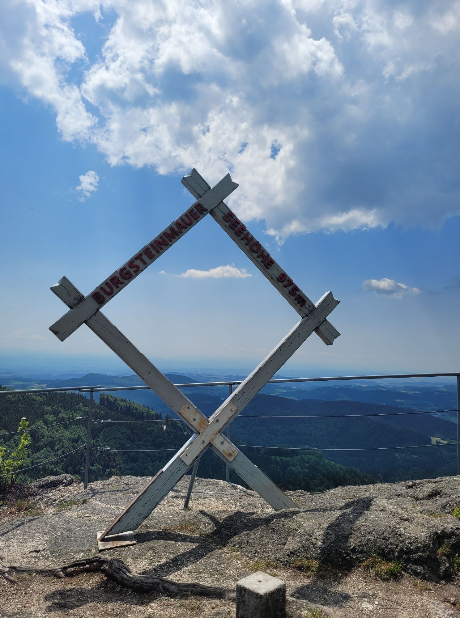
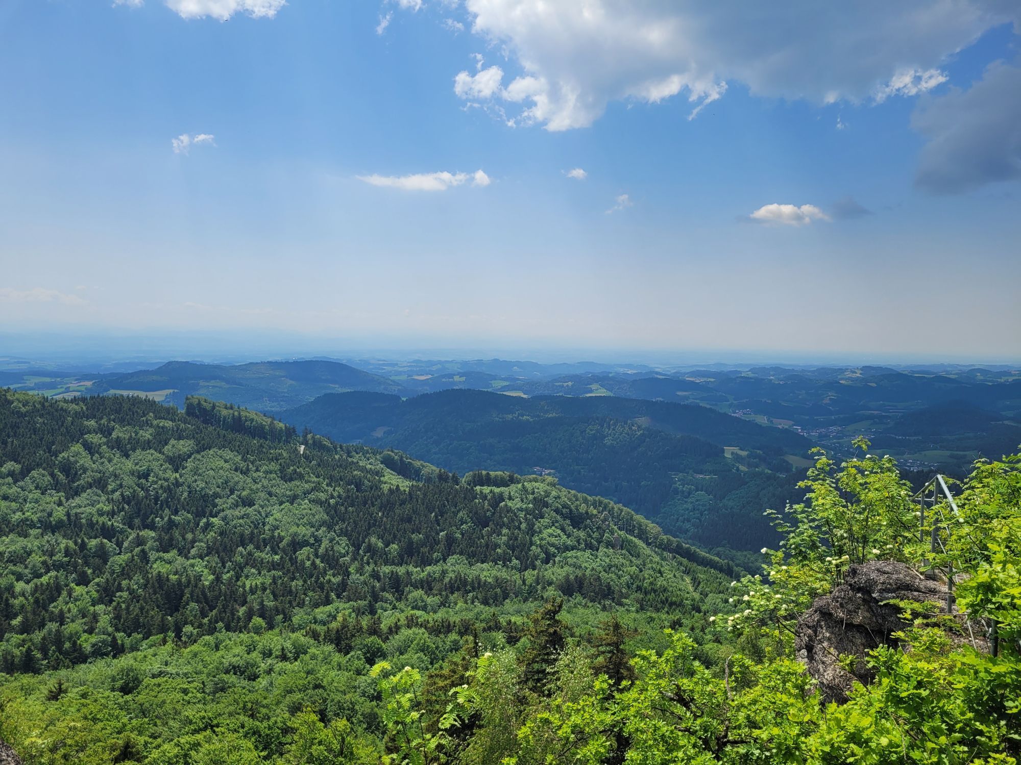
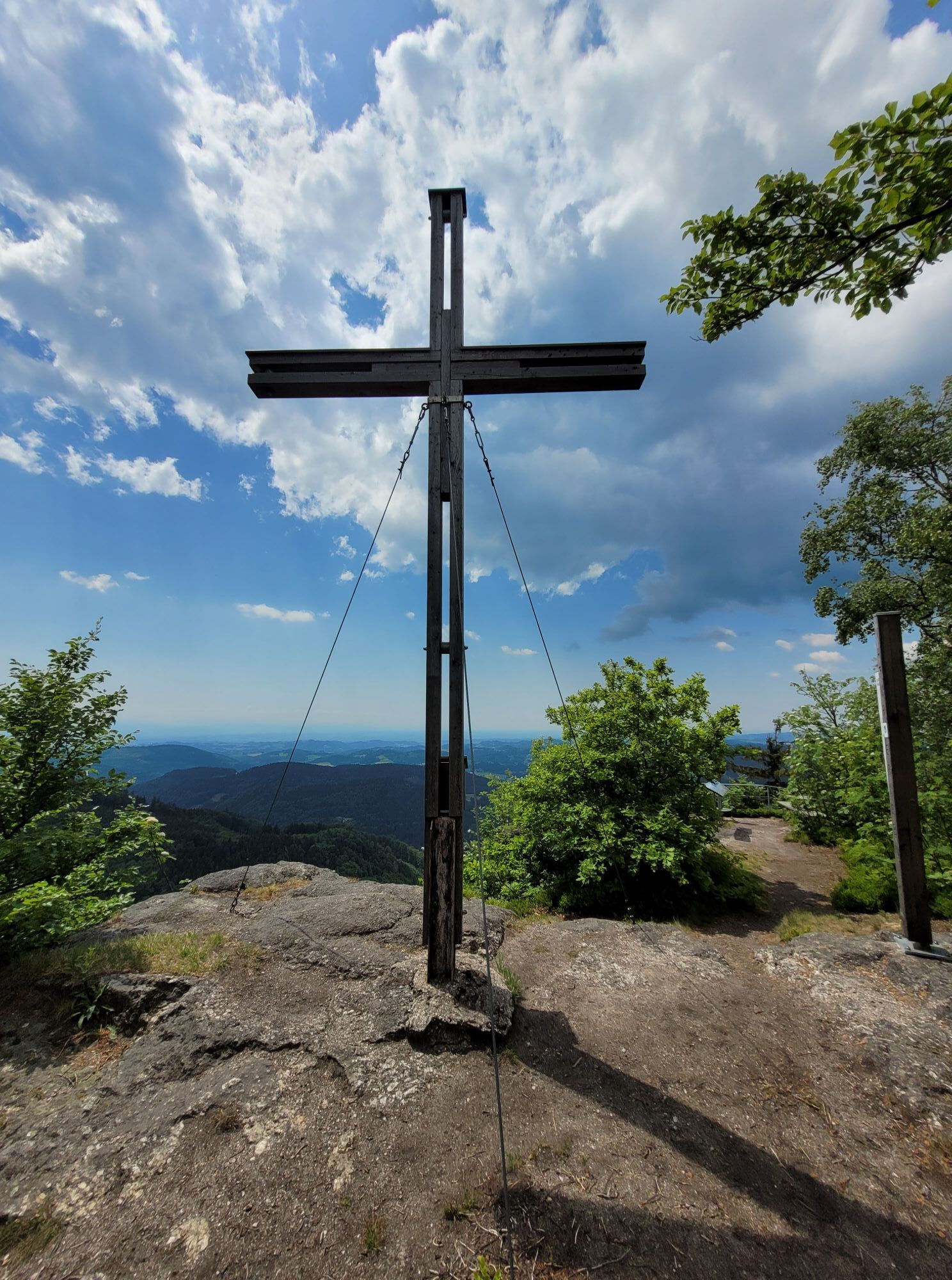
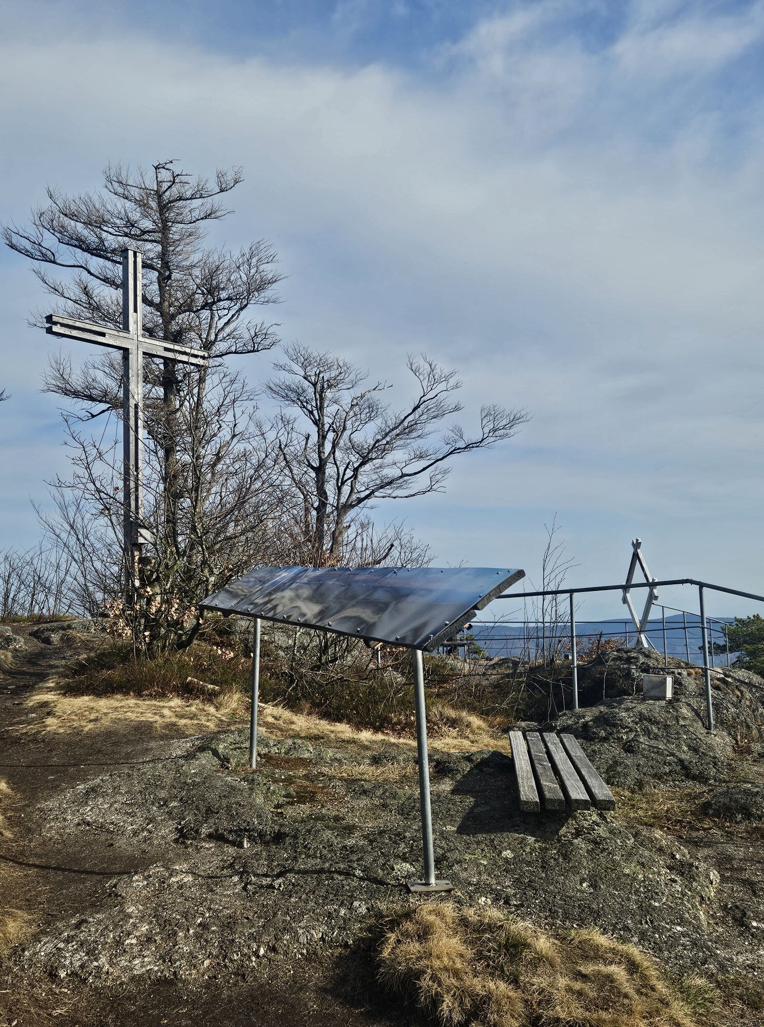
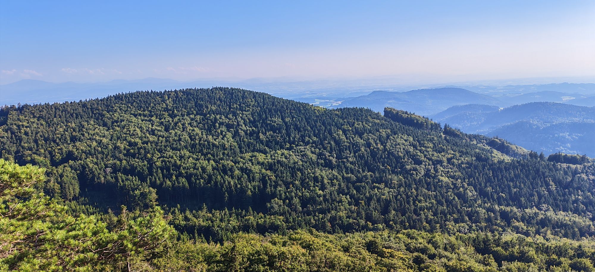
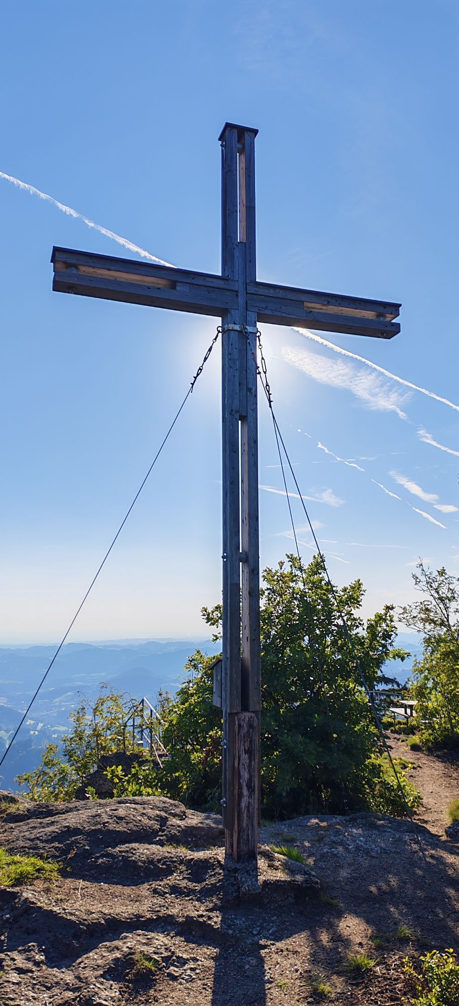
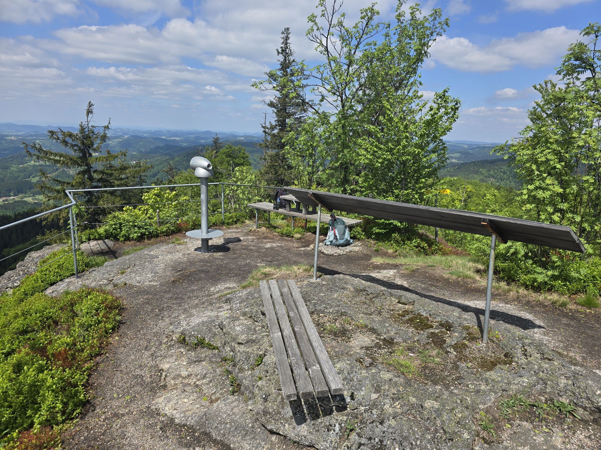
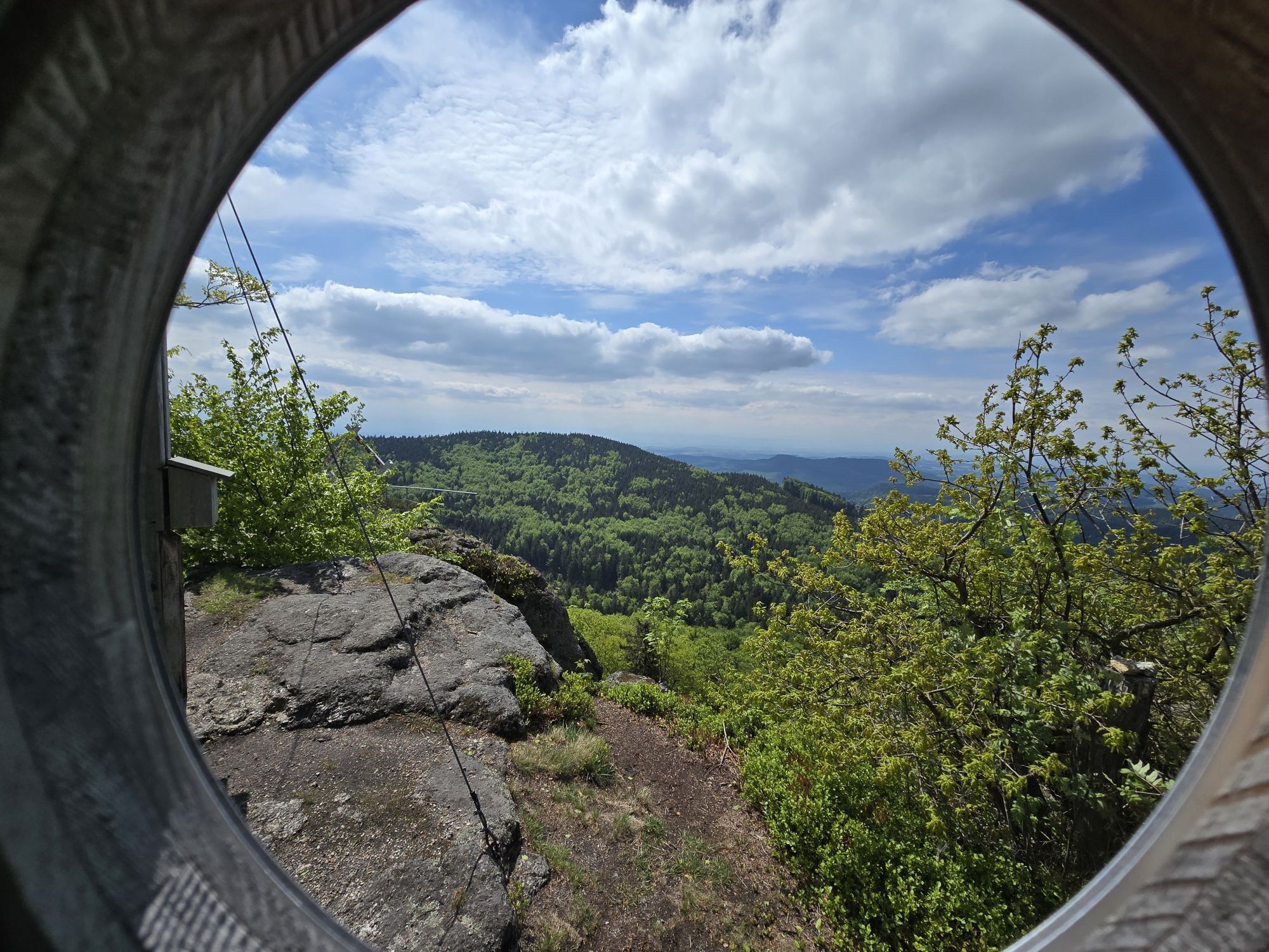
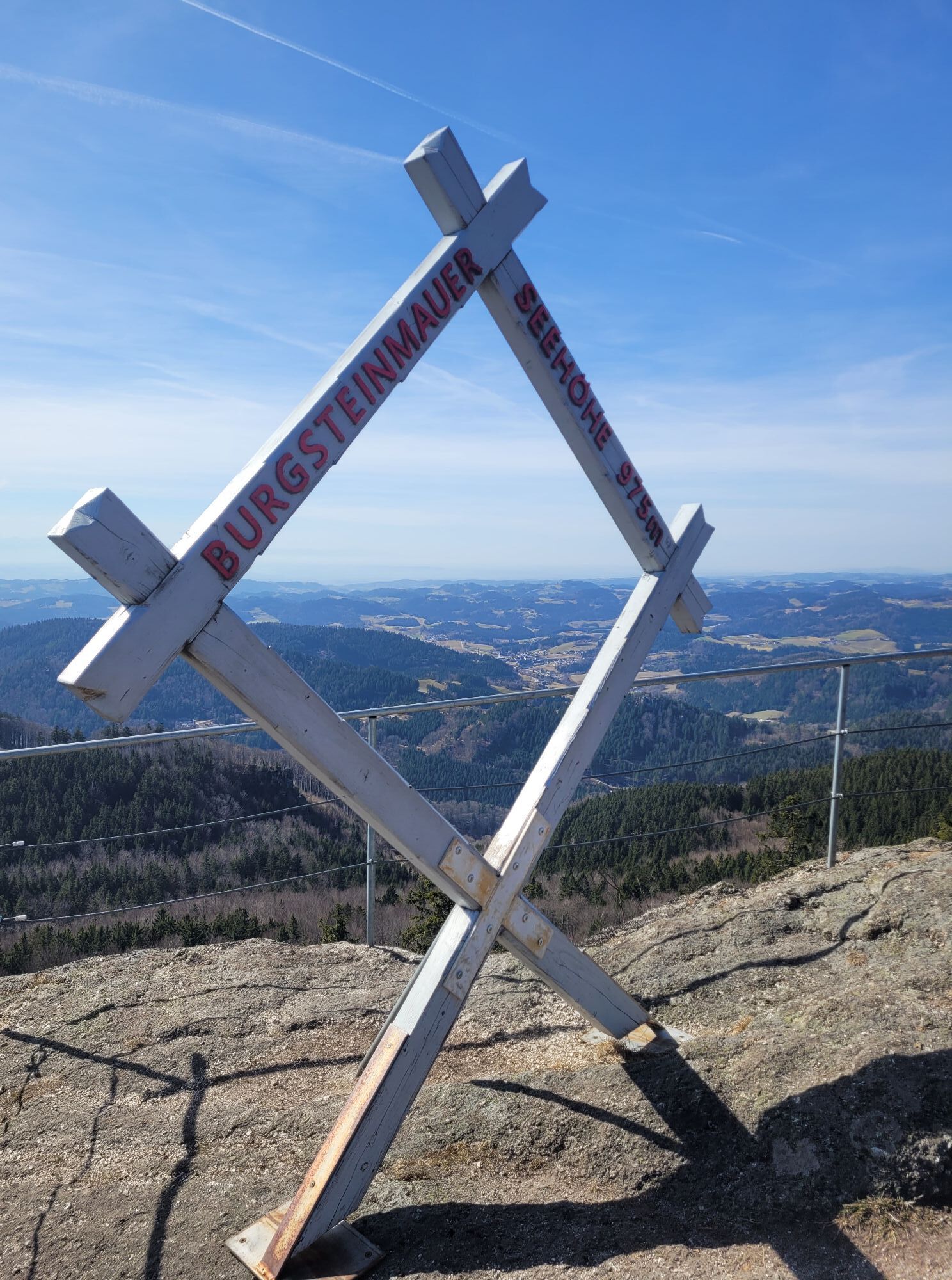
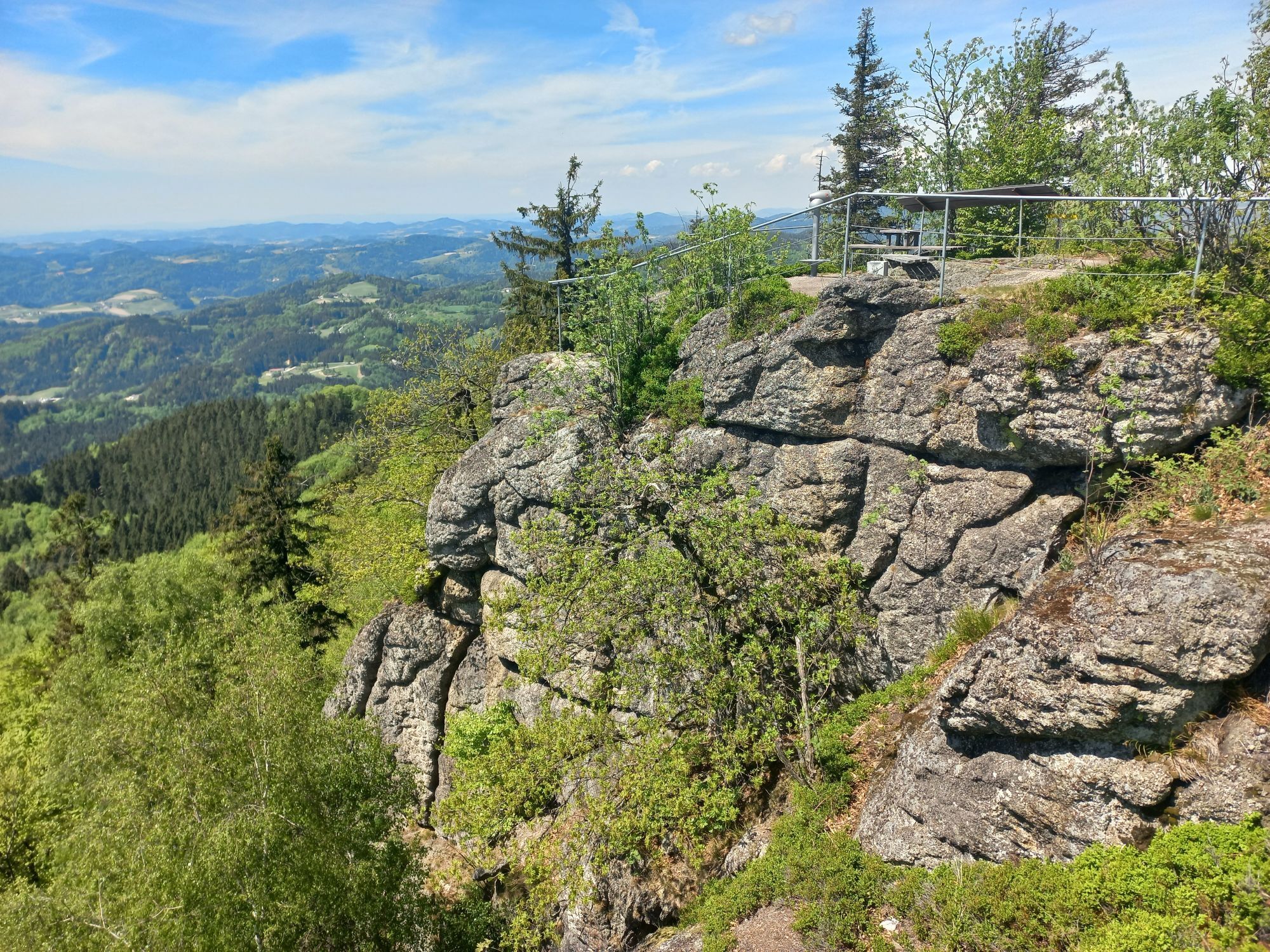
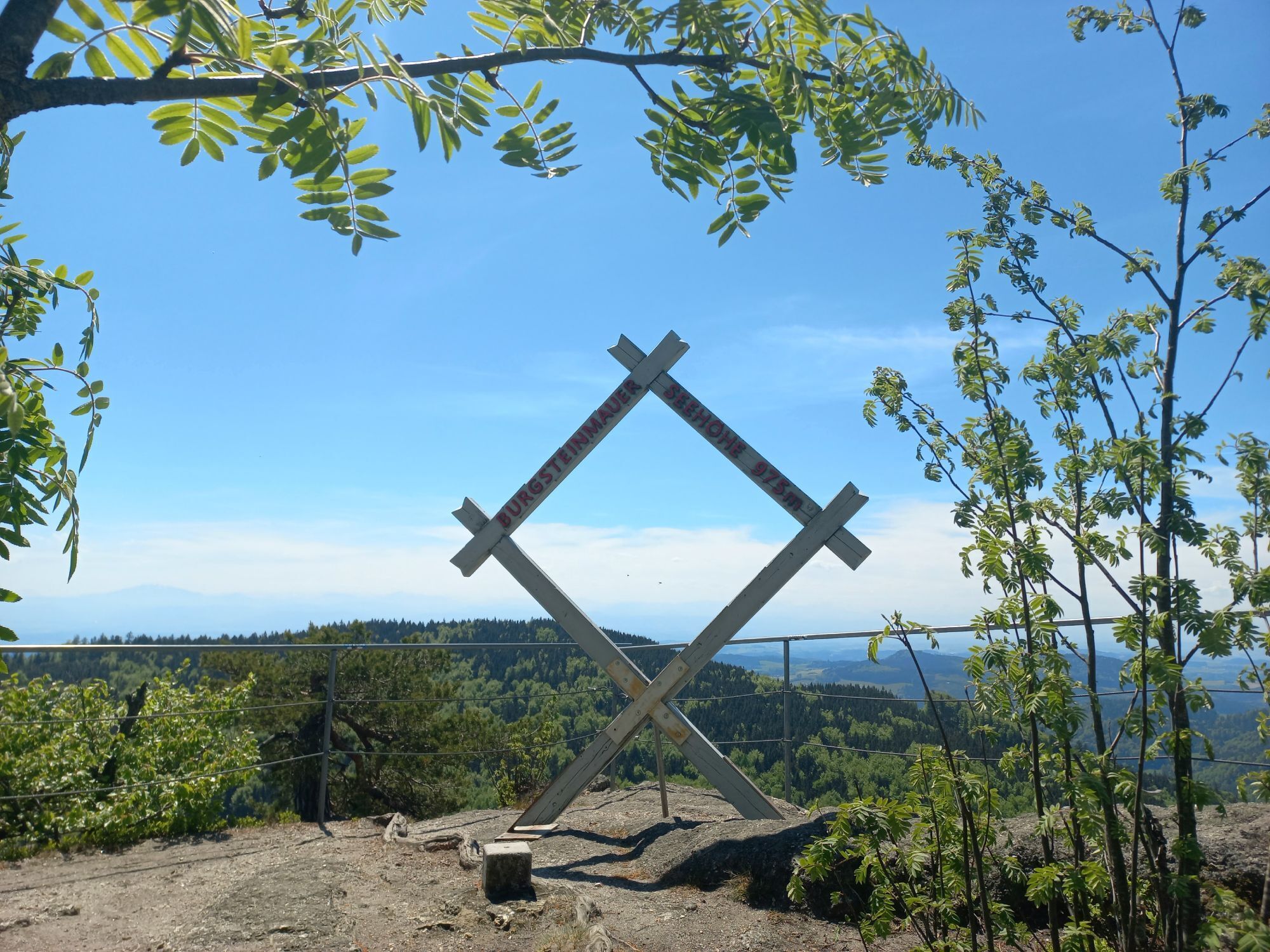
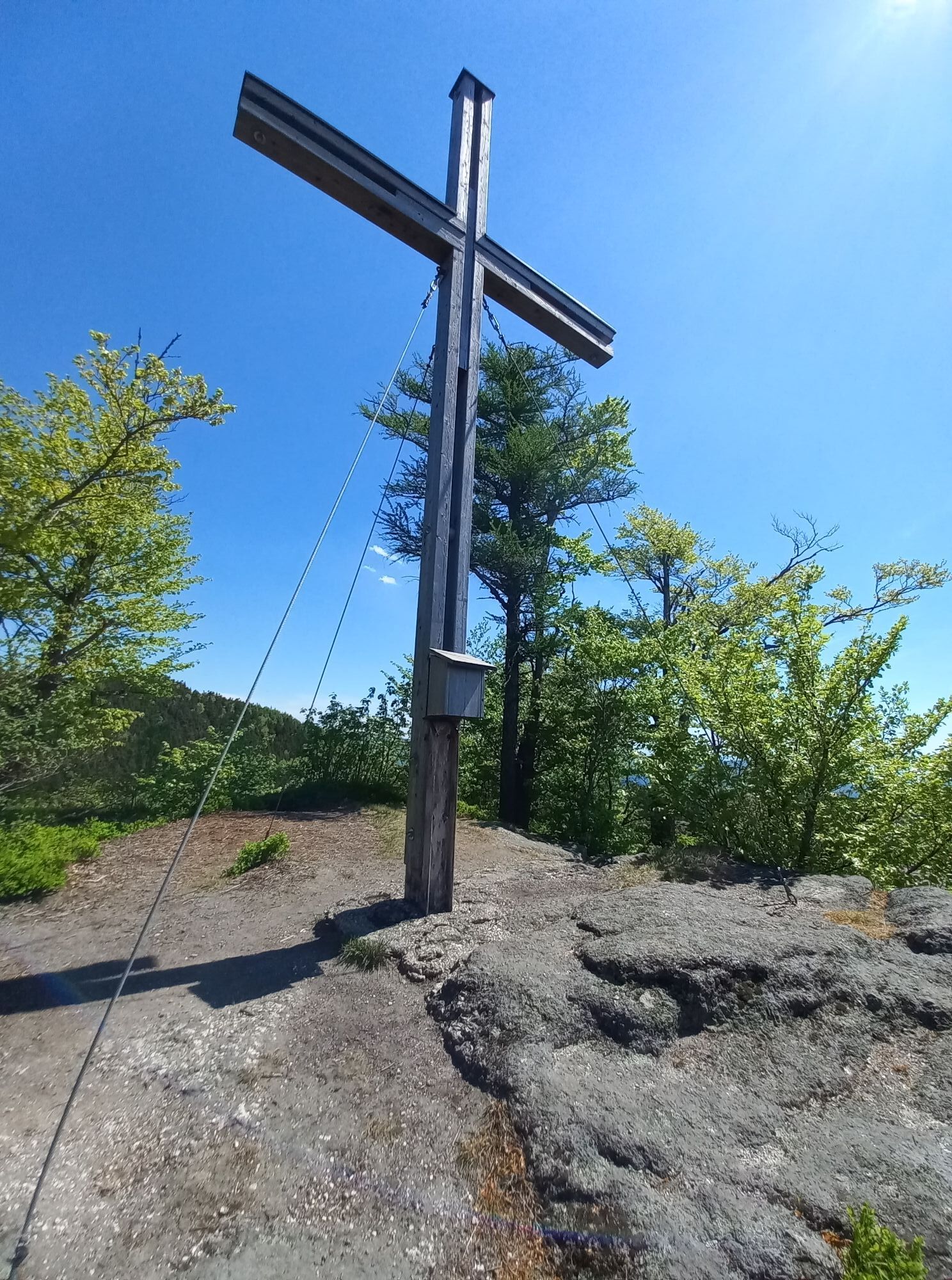
Secured vantage point with summit cross and summit book, magnificent alpine view.

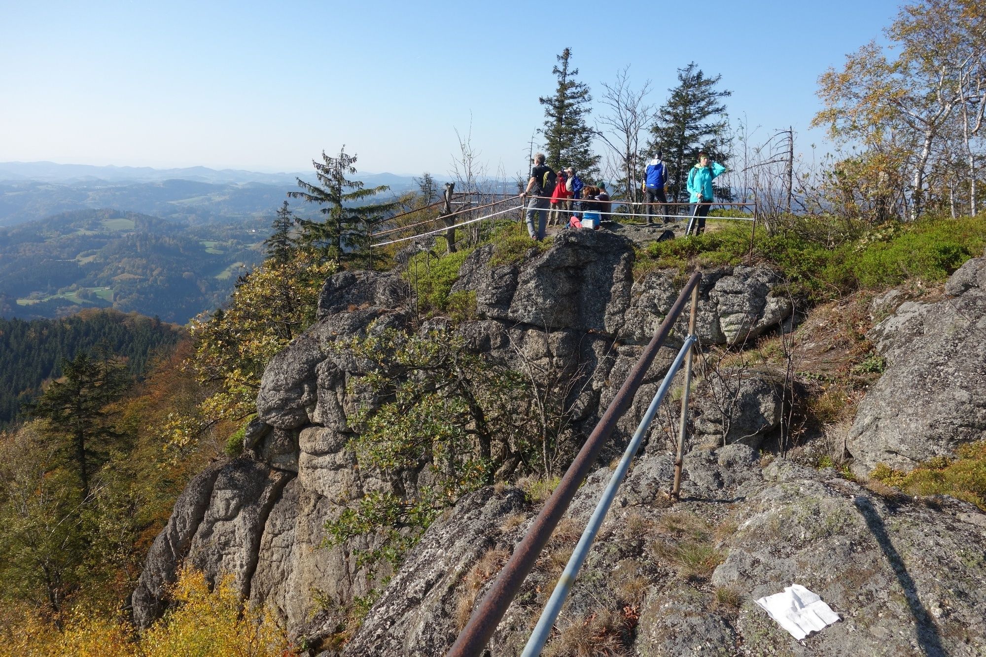


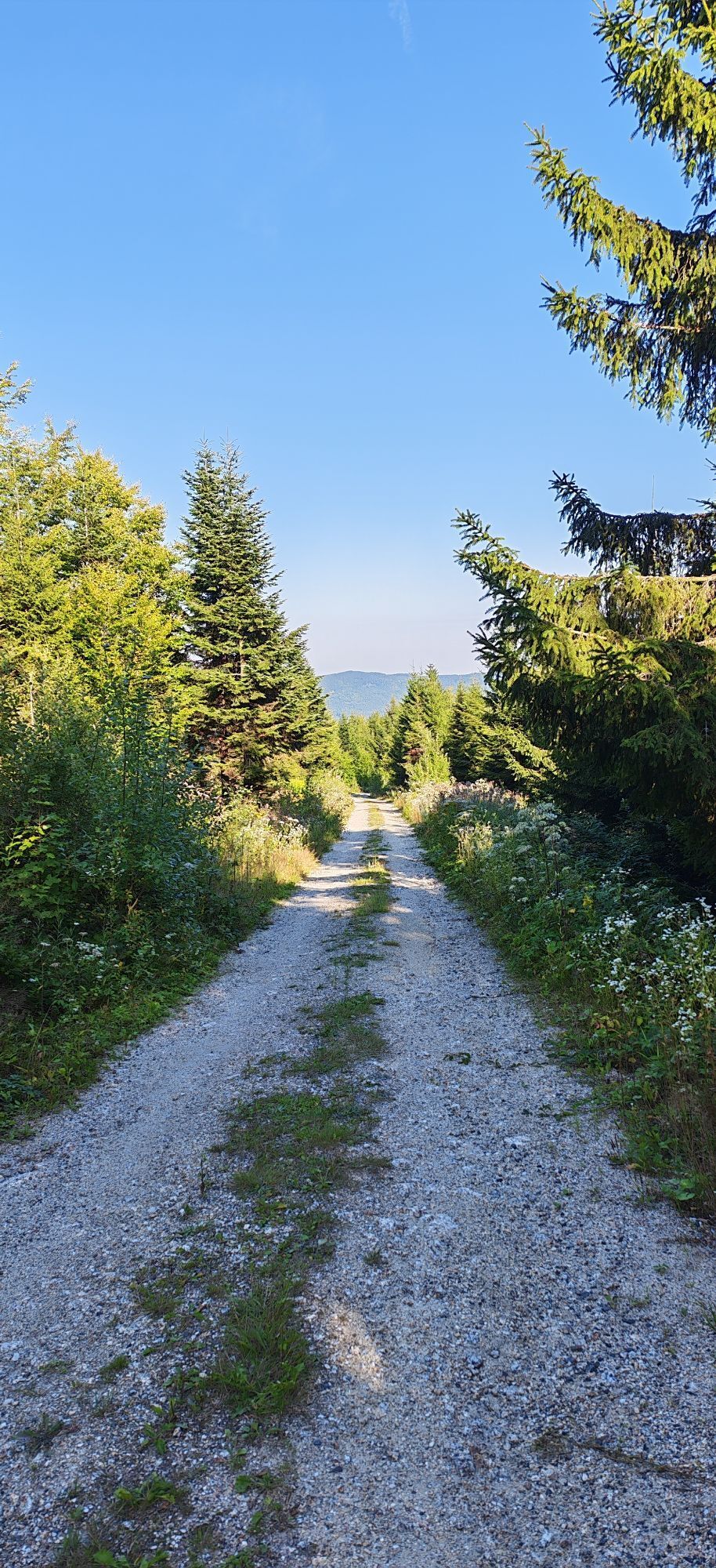
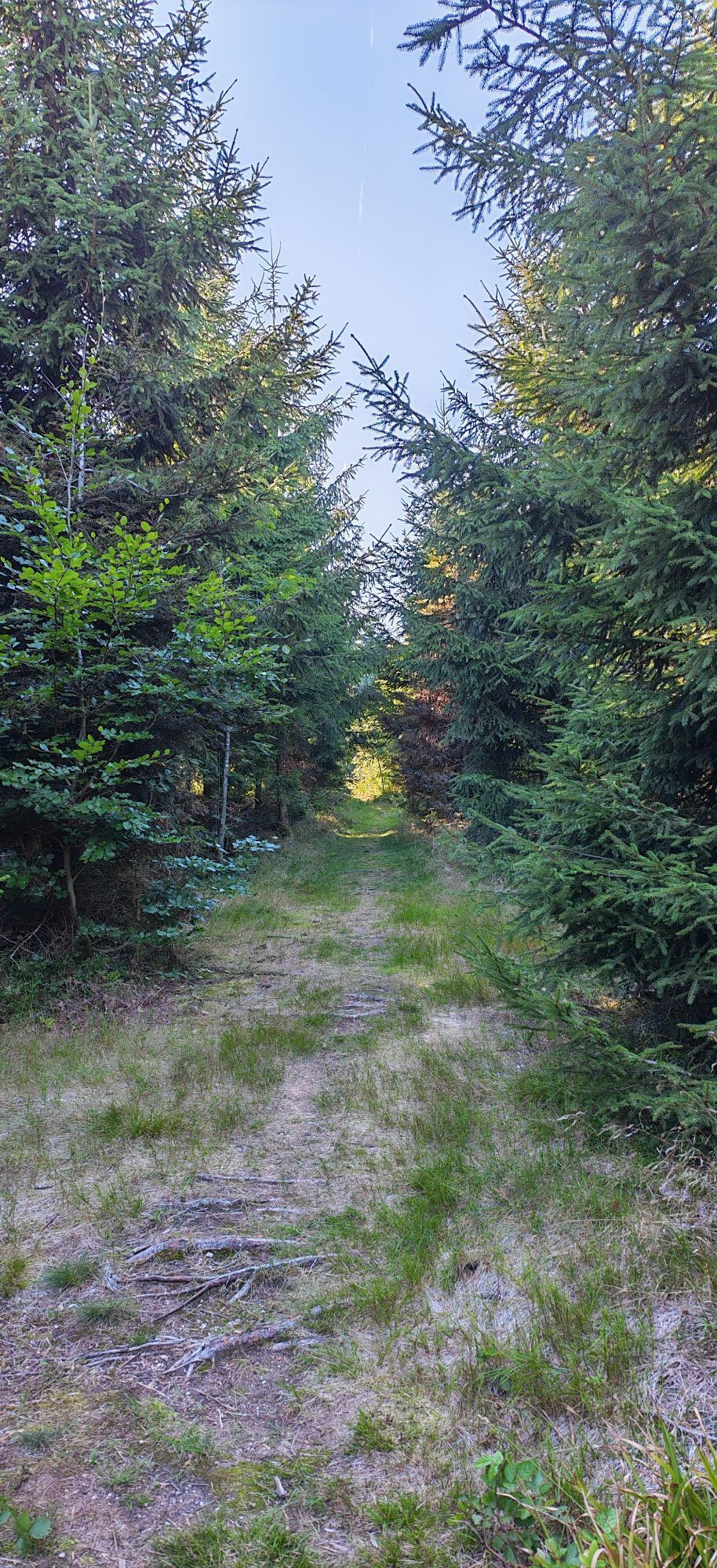
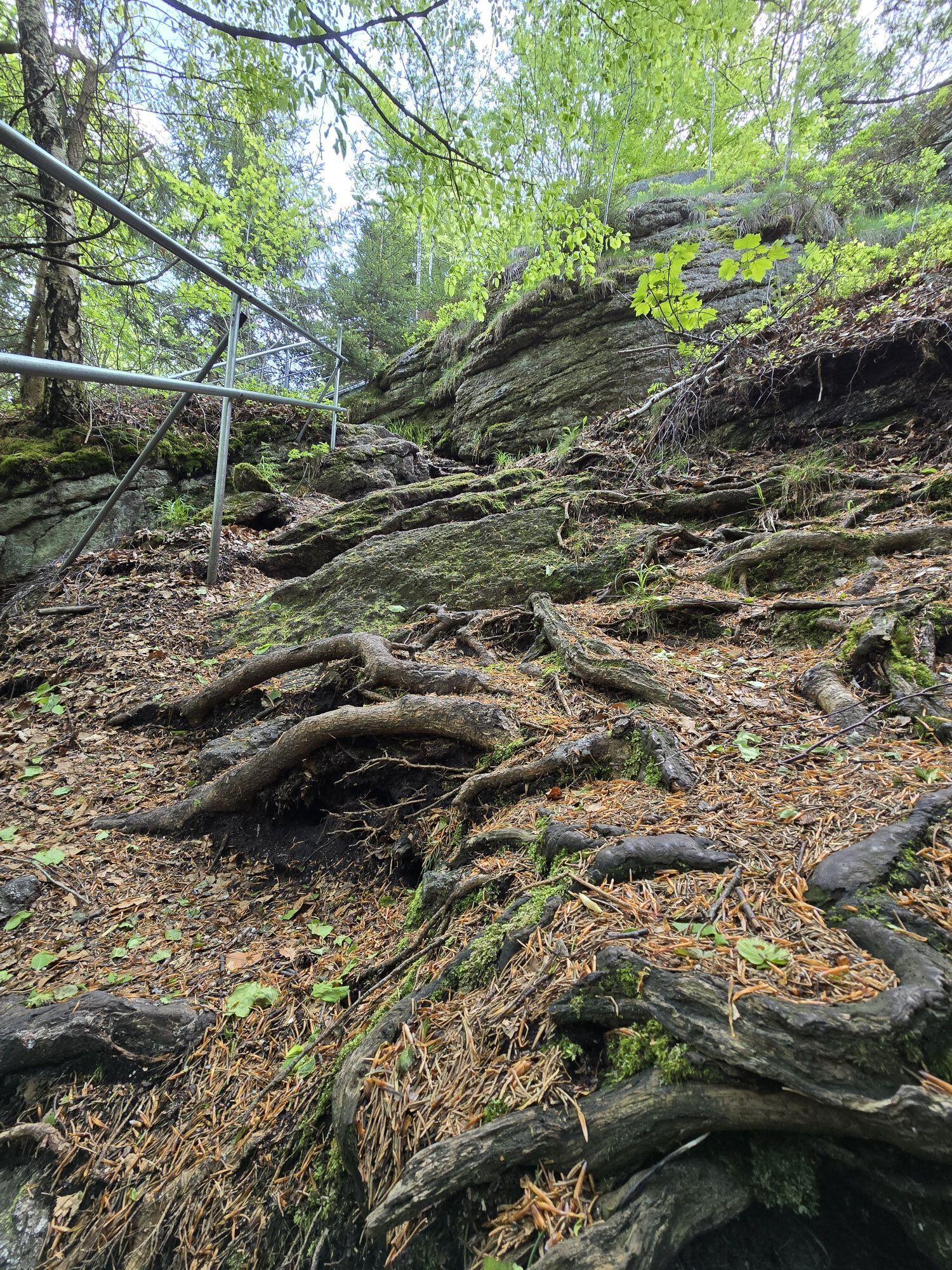
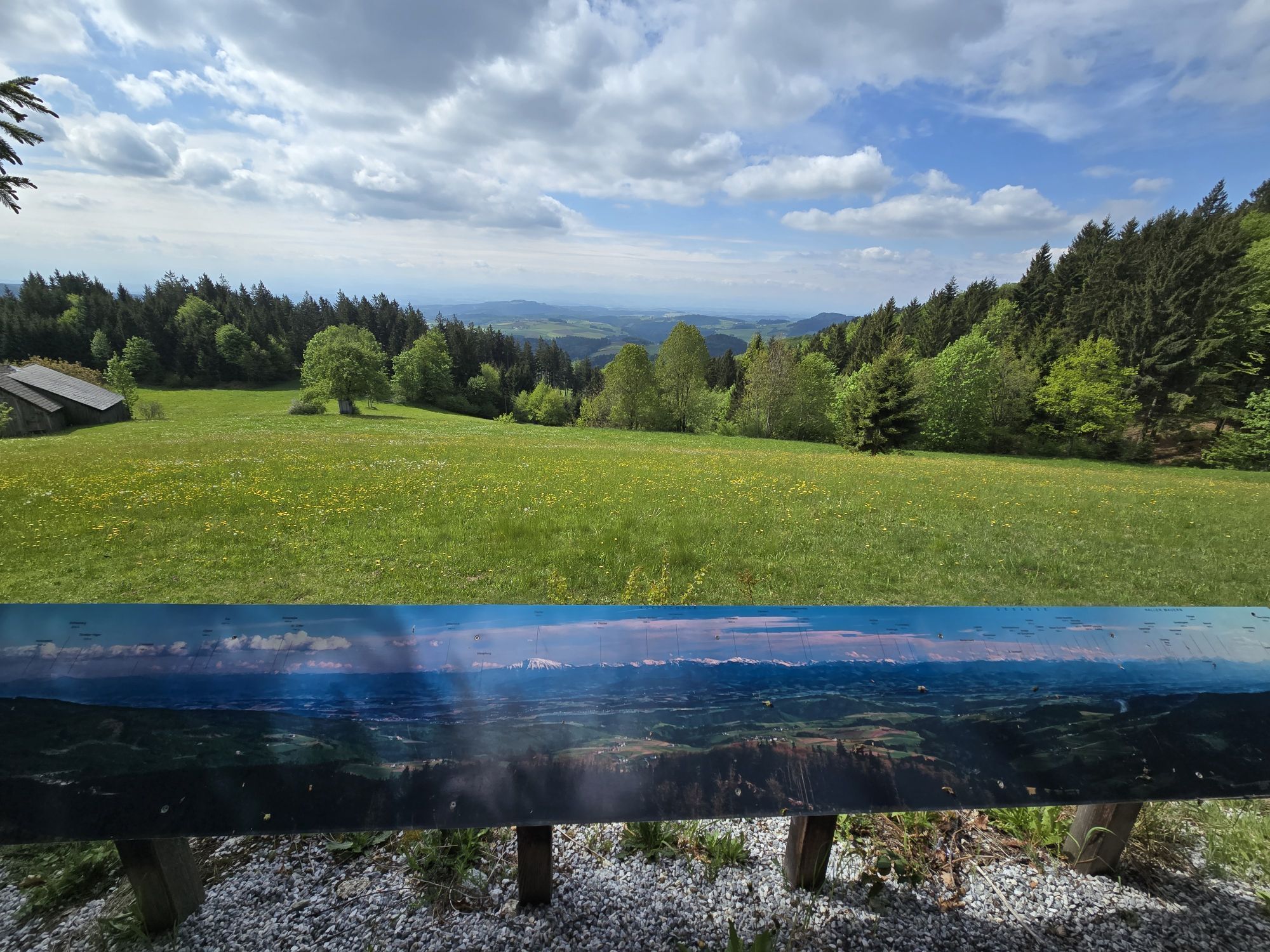
Start on the main road between St. Oswald - Dorfstetten at the beginning of the Unterdeutsch Güterweg (D7) and follow No. 17 to the right. Beautiful, somewhat steep forest path to the forest road, from there another 20 min to the castle stone wall. The climb up the Burgstein wall is steep and, depending on the weather, can also be slippery. But at the summit cross you are rewarded with a magnificent panoramic view as far as the Ötscher and Dachstein. Return along the Undeutsch Güterweg No. 17a to the Undeutsch vantage point (rest area with magnificent views). Then return to the car park.
Sí
Approach from the A1 Westautobahn via Ybbs an der Donau either via the B 36 via Yspertal to St.Oswald or via Ybbs along the Danube west at Ysperdorf, towards Yspertal via Fell to St.Oswald.
Free parking in front of the primary schools or the building yard. E-fuelling station at the car park "Leithenweg" free of charge.
3684 St. Oswald, Untere Hauptstraße 3
(T) +43 7415 7291
(E) gde.stoswald@wvnet.at
(I) www.stoswald.com
(Webcam) http://www.stoswald.com/Aktuelles/Webcam
Tourismusbüro Ysper-Weitental
3683 Yspertal, Hauptstraße 9
(T) +43 7415 6767 25
(E) info.yw@waldviertel.at
Waldviertel Tourismus
3910 Zwettl, Sparkassenplatz 1/2/2
(T) +43 2822 54109
(E) info@waldviertel.at
(I) www.waldviertel.at
Tolle Aussicht ins Mostviertel und Ostalpen vom Schneeberg bis Dachstein. Schöne Aussichts- „Plattform“. Zufahrt bis zum Haus mit Parkmöglichkeit beim Hause Gebetsberger (P-Schild vorhanden) – ca. 350 m zum Aussichtspunkt zu wandern.
Siehe Homepage:
http://www.stoswald.com/Neuer_Aussichtspunkt_Undeutsch_

 Infórmate
Siempre en directo con más de 9.500 webcams. bergfex Como usuario Pro, ahora puede ver las webcams correspondientes a muchos tours en la app de tours desde. Esto le permite ver las condiciones actuales directamente.
Infórmate
Siempre en directo con más de 9.500 webcams. bergfex Como usuario Pro, ahora puede ver las webcams correspondientes a muchos tours en la app de tours desde. Esto le permite ver las condiciones actuales directamente.
Actividades a lo largo del recorrido

Rutas populares en los alrededores
-
4,0
Yspertal: Druidenweg - Ysperklamm
medioSenderismo 9,56 km -
4,6
Waldhausen: recorrido con vistas
medioSenderismo 14,0 km -
4,9
Stillensteinklamm Rundweg über Struden
luzSenderismo 12,6 km -
4,7
Stillensteinklamm, Grein
luzSenderismo 10,4 km -
4,6
Ausgedehnte Peilsteinrunde
medioSenderismo 13,7 km -
4,2
Wolfsschlucht - auf den Spuren adeliger Kurgäste
Senderismo 2,29 km -
4,5
Durch die Steinwandklamm von Maria Taferl aus
luzSenderismo 8,26 km -
4,6
Brandstetterkogel über Matras Steig
luzSenderismo 6,28 km -
4,8
Herzsteinweg Ysper und Burgsteinmauer
medioSenderismo 14,7 km -
4,9
LAIMBACH Ostrong Peilstein 20220716
medioSenderismo 7,70 km
Senderismo y rastreo


No se pierda las ofertas y la inspiración para sus próximas vacaciones
Su dirección de correo electrónico se ha añadido a la lista de correo.





