


Valleys and water
Fotos de nuestros usuarios
-
 © MártiCreado el 27.09.2025
 -
 © MártiCreado el 26.09.2025
 -
 © MártiCreado el 26.09.2025
 -
 © Gyula GerecsCreado el 23.08.2025
 -
 © karazoltanCreado el 20.07.2025
 -
 © schoenfalterCreado el 03.05.2025
 -
 © Erwin KrumböckCreado el 22.09.2024
 -
 © Erwin KrumböckCreado el 22.09.2024
 -
 © Erwin KrumböckCreado el 22.09.2024
 -
 © Dragoljub IlicCreado el 13.09.2025
 -
 © Dragoljub IlicCreado el 13.09.2025
 -

 © guenvollCreado el 02.09.2025
 -
 © Gerhard EdermayerCreado el 20.06.2025
 -
 © Klaus Gruber 3Creado el 09.06.2025
 -
 © Klaus Gruber 3Creado el 27.05.2025
 -
 © Klaus Gruber 3Creado el 20.04.2025
 -
 © Klaus Gruber 3Creado el 20.04.2025
 -
 © Klaus Gruber 3Creado el 20.04.2025
 -
 © Klaus Gruber 3Creado el 20.04.2025
 -
 © Klaus Gruber 3Creado el 20.04.2025
 -

 © Monika GablerCreado el 18.02.2025
 -
 © Gerhard EdermayerCreado el 07.06.2024
 -
 © Gerhard EdermayerCreado el 07.06.2024
 -
 © Gerhard EdermayerCreado el 07.06.2024


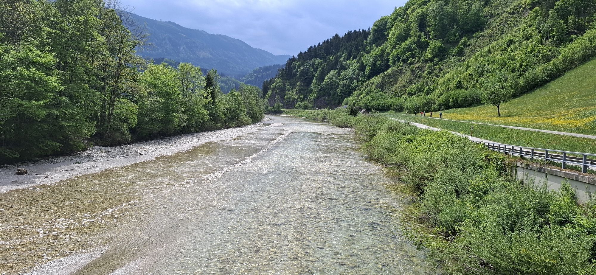


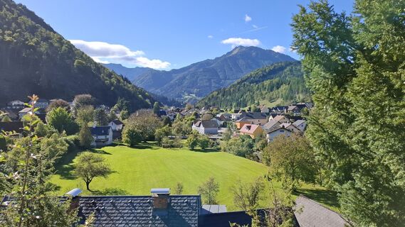
A short loop through the picturesque Ahorn and Sulbach valleys awaits at the start of the tour, before you cycle leisurely downstream along the Ybbstal cycle path. Small bathing spots invite you to linger,...
A short loop through the picturesque Ahorn and Sulbach valleys awaits at the start of the tour, before you cycle leisurely downstream along the Ybbstal cycle path. Small bathing spots invite you to linger, and between St. Georgen and Hollenstein you briefly feel as if you are in Canada, surrounded by beautiful nature.
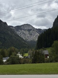
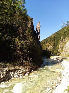
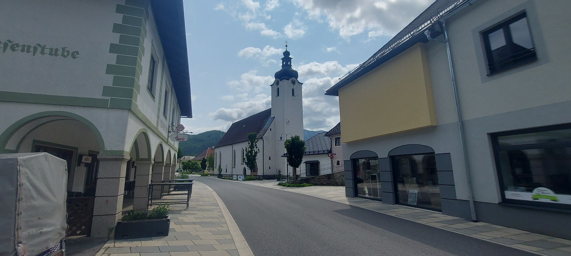
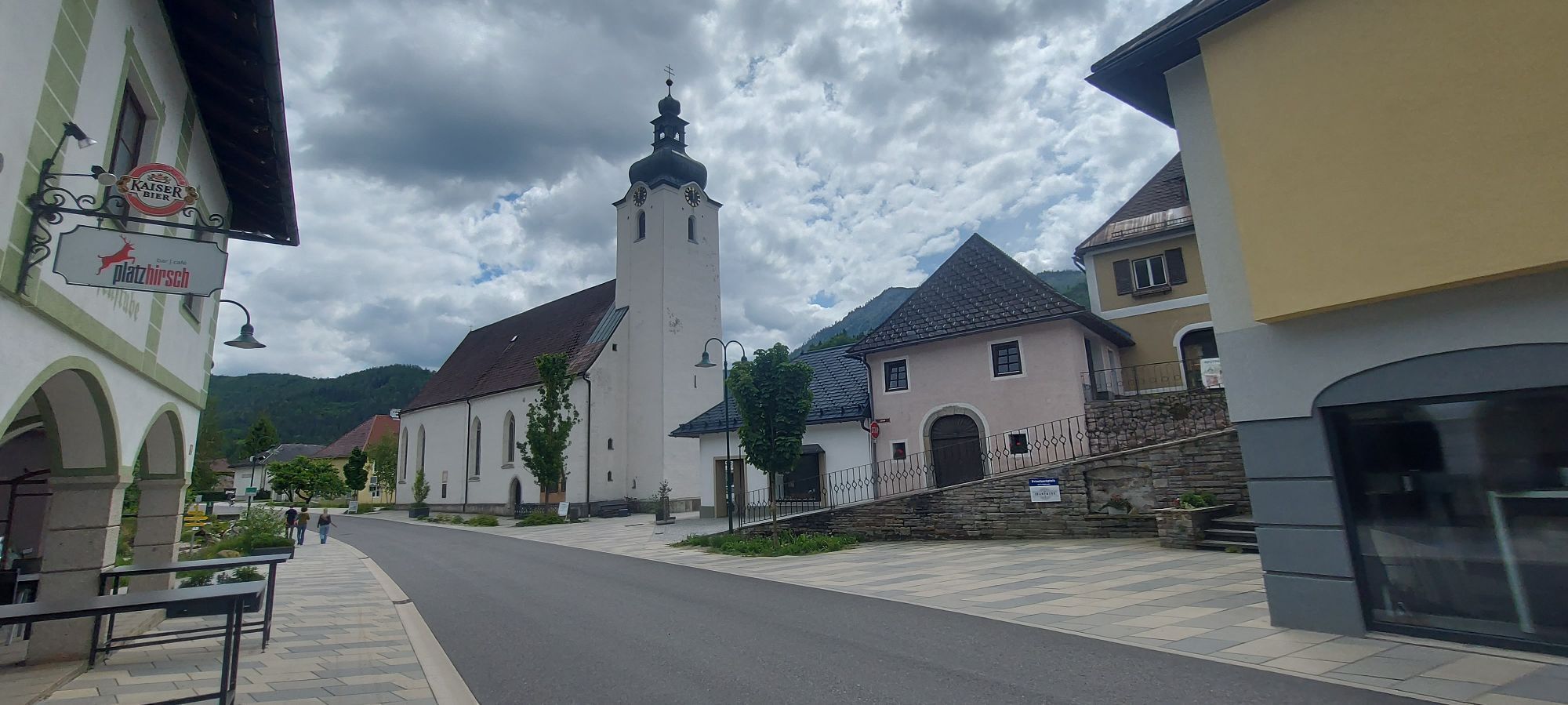
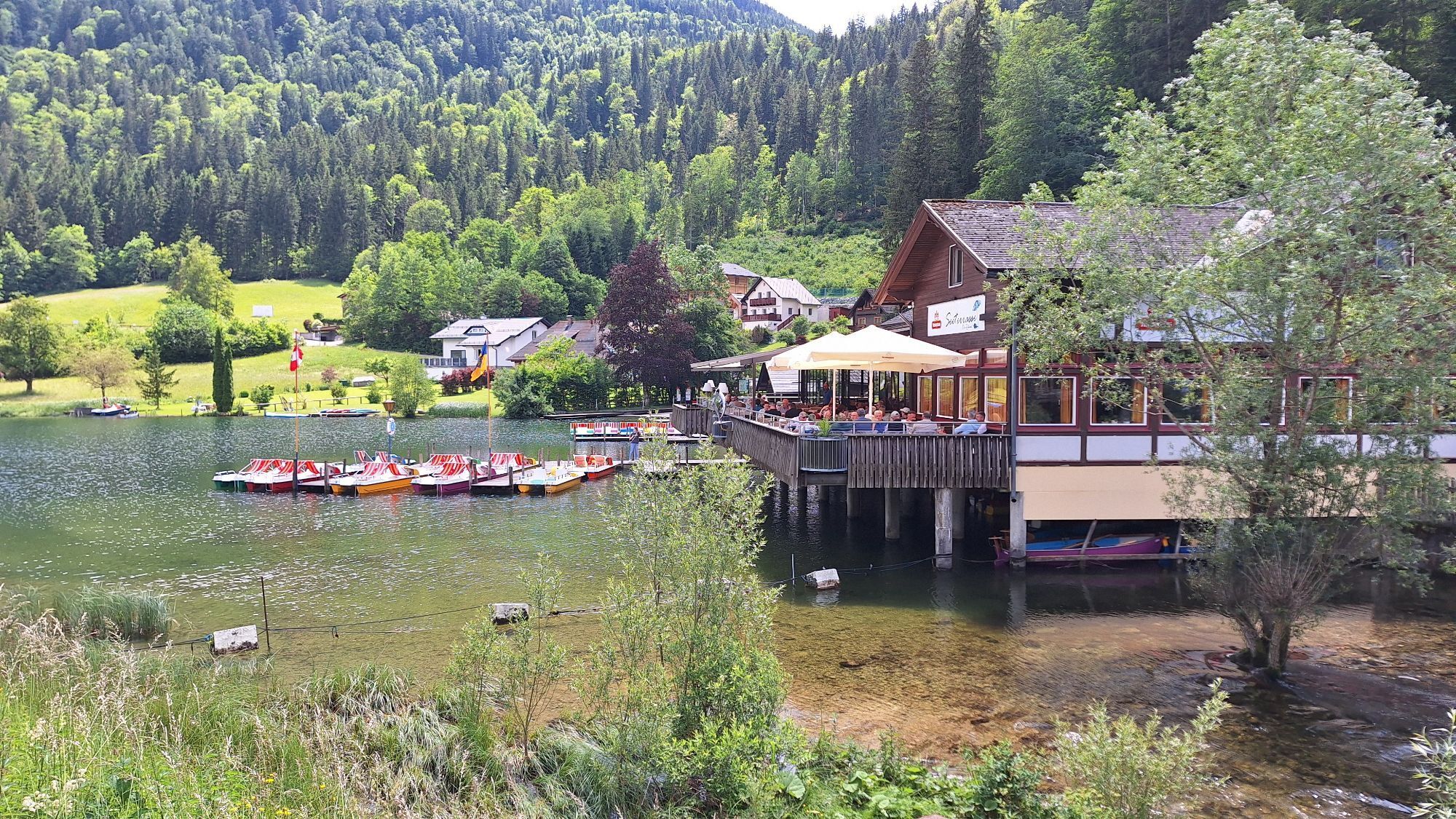
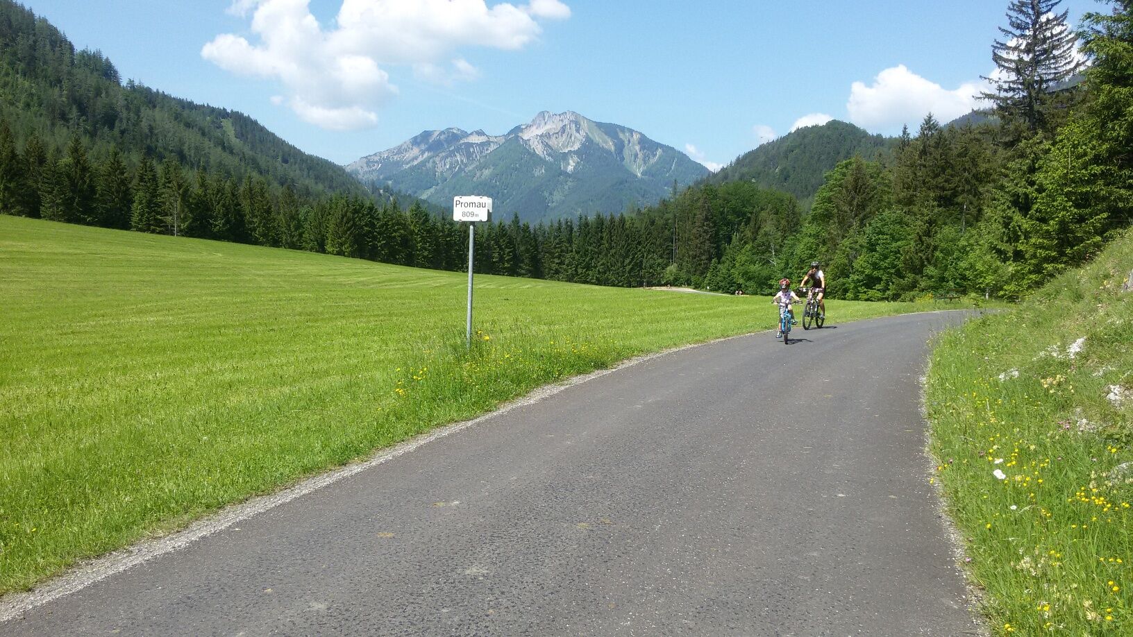
Refreshed in the Kripperldorf village of Hollenstein, you dive into the Eisenwurzen Nature Park in the direction of Sandgraben. First gently ascending, then a little steeper at the end, after ten kilometers you reach a beautiful resting place on the Promau, surrounded by Königsberg and Gamsstein. The following descent leads to the starting point of the Mendlingtal experience - a 3.5-kilometre-long, wild and romantic gorge along a stream, where you will find one of the last functioning timber rafting areas in Central Europe.
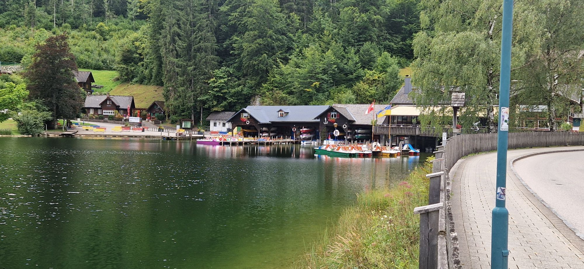
From Lassing, the route rolls gently downhill to Göstling and further upstream along the Ybbstal cycle path back to Lunz am See.
The route is NOT SIGNED as such!!!

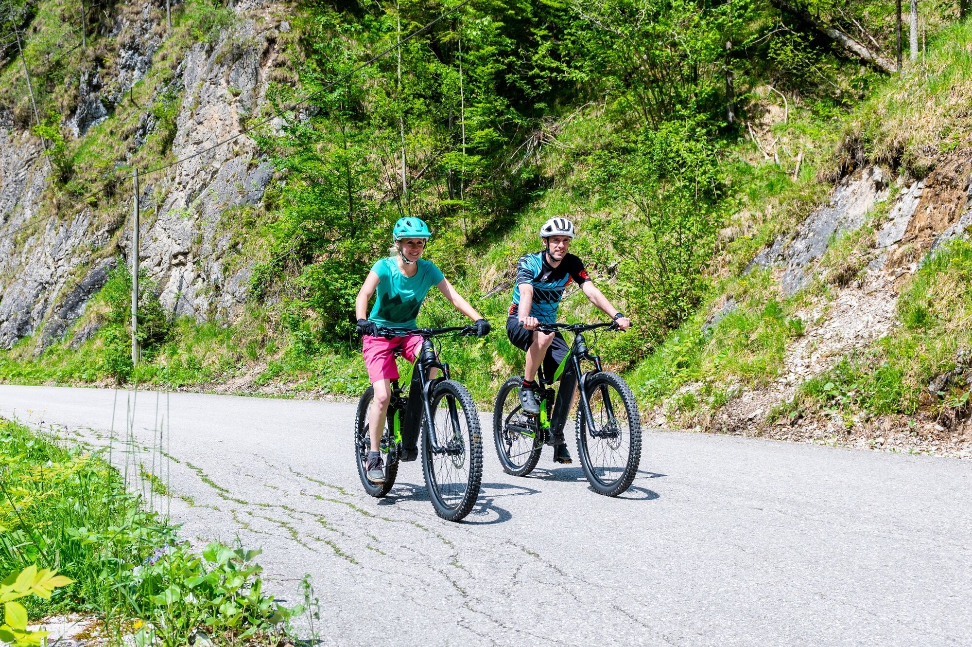
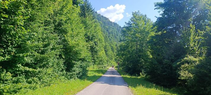
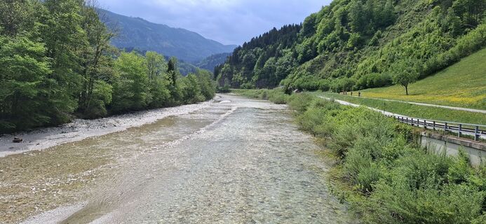
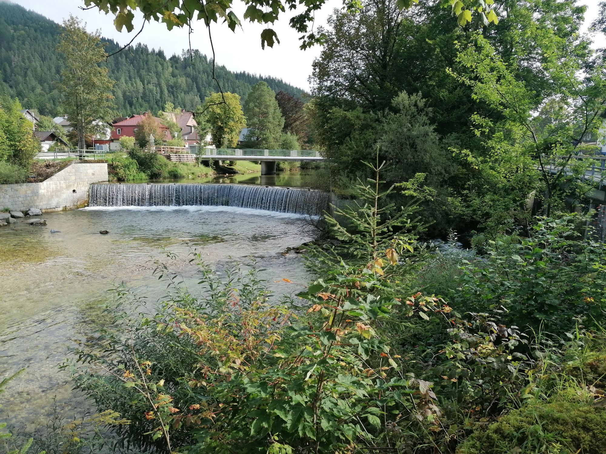
Cycle from Lunz am See towards Pfaffenschlag and follow the signage for the MTB trekking route "Ahorn and Sulzbachtal round." After just under 11 km at the Töpperbrücke over the Ybbs, turn right onto the Ybbstal cycle path and follow it downstream towards Göstling. Pass Göstling, Kogelsbach, and St. Georgen am Reith to Hollenstein an der Ybbs - always on the Ybbstal cycle path.
In Hollenstein, cross the bridge to the left and continue through the town center towards Lassing. Slightly uphill through the town towards Sandgraben/Promau, following the road. After a 10 km climb (max. 8% over one kilometer), you reach the rest area at Promau, followed by a winding, fast descent into the Mendling valley (max. 8%).
A short, very steep ascent (14%) accompanied by an equally steep descent (400 m, 16%) until you reach Lassing, then continue for the next 7 km on the main road, but downhill (max. 4% gradient).
Before Göstling, turn left towards the center and in the town center switch back to the Ybbstal cycle path towards Lunz am See. Return to the starting point in Lunz.
Serviced touring bike, helmet, provisions, small change.
Caution on the descent from Promau towards Mendling valley/Lassing. Partially tight curves, uneven surface as well as gravel crumbs on the road.
Motorway exit Ybbs - Erlauftal federal road B25 to Lunz am See
With rental bike: VOR bus line to Lunz am See, bike rental ANKA in Lunz am See
With own bike: Radtramper bus and/or bike taxi from/to Waidhofen/Ybbs or Lunz am See
Parking spaces in the town center (House of Wilderness)
Paid parking spaces by Lake Lunz
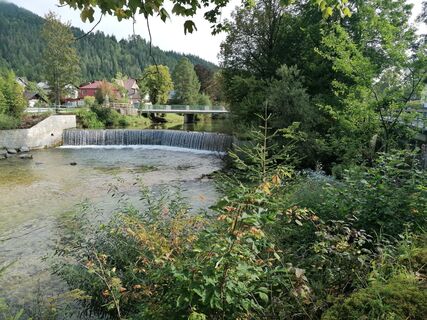
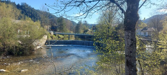
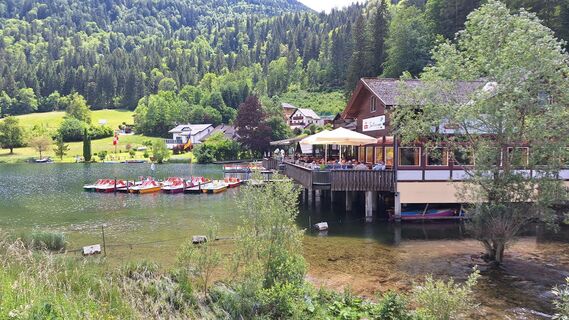
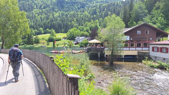
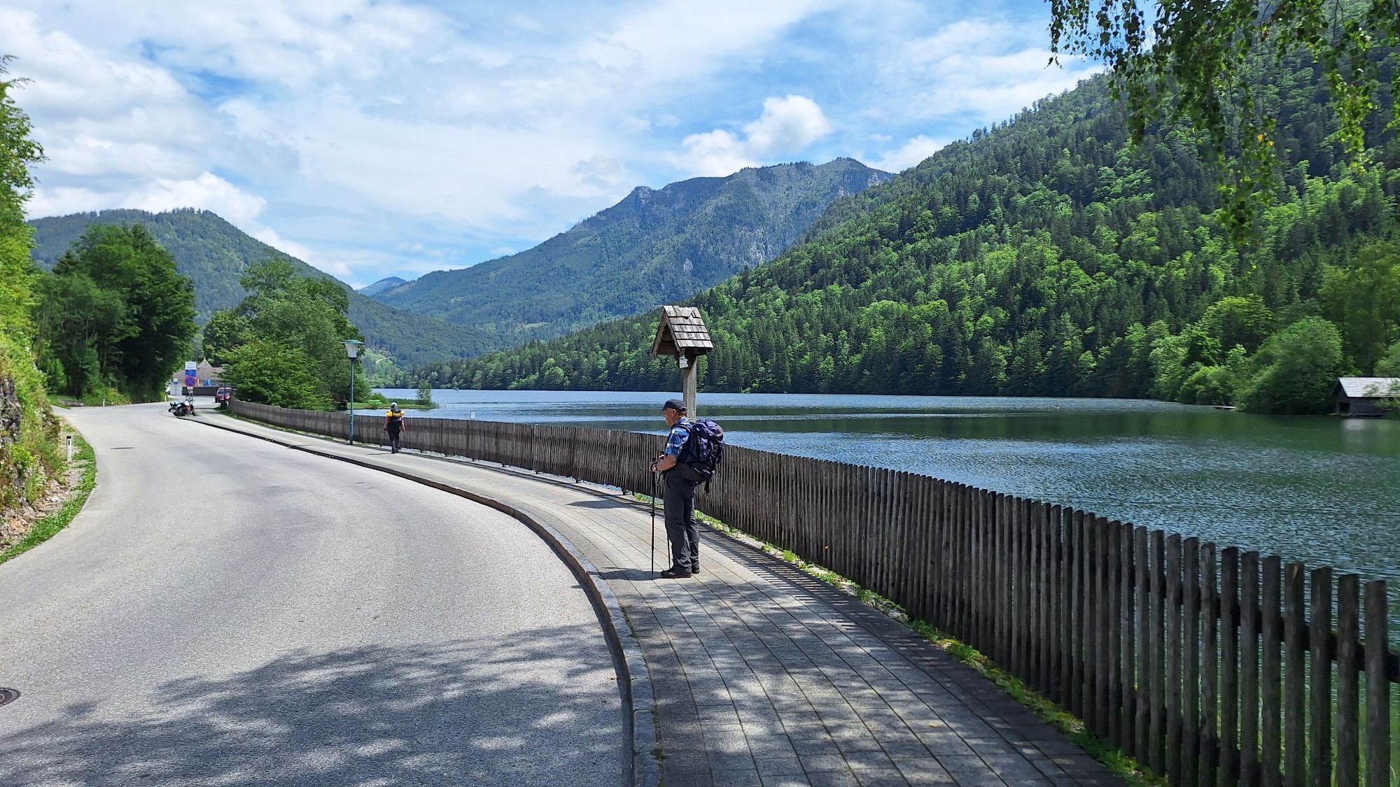
Allow yourself a short break at one of Europe's most beautiful river beach baths in Hollenstein/Ybbs.
Webcams del recorrido
-
Hochkar
-
Lunz am See - Maiszinken
-
Hollenstein an der Ybbs
-
Hochkar
-
Hochkar
-
Hochkar
-
Hochkar
-
Hochkar
-
Hochkar Tal
-
Hochkar Tal
-
Hochkar Tal
-
Hochkarbahn Bergstation
-
Hochkarbahn Bergstation
-
Hochkarbahn Bergstation
-
Hochkarbahn Bergstation
-
Hochkarbahn Bergstation
-
Hochkarbahn Bergstation
-
Hochkarbahn Bergstation
-
Göstling Hotel Waldesruh
Rutas populares en los alrededores
-
4,5
Hochkar - Schmalzmauer - Geißhöhe - Ringkogel - Schwarzalmhütte - Brunneckerhütte
medioSenderismo 13,2 km -
4,3
Das 3 Seen-Erlebnis (Lunzer See - Mittersee - Obersee)
medioSenderismo 9,33 km -
4,3
Rund um den smaragdgrünen Lunzer See
luzSenderismo 4,80 km -
4,9
Kurzeck- Siebenhütten- Turnhöhe- Kitzhütte Göstling an der Ybbs, Österreich
luzSenderismo 12,8 km -
4,8
Cima panorámica Maiszinken - experiencia alpina incluida
medioSenderismo 12,6 km -
4,6
Lechner Graben - Ybbstaler Hütte
medioSenderismo 14,2 km -
4,6
Sendero de las gargantas de Opponitz
medioSenderismo 4,42 km -
4,4
Palfauer Wasserlochklamm
medioSenderismo 1,78 km -
4,3
Prochenberg von Ybbsitz
luzSenderismo 6,29 km -
4,1
wanderung auf den alpl
medioSenderismo 8,18 km

Senderismo y rastreo


No se pierda las ofertas y la inspiración para sus próximas vacaciones
Su dirección de correo electrónico se ha añadido a la lista de correo.