© Christa Hochpöchler

© Outdooractive – 3D Videos
© Ewald Wachter
© Ewald Wachter
© Ewald Wachter
© Christa Hochpöchler
© Gemeinde Opponitz
- Breve descripción
-
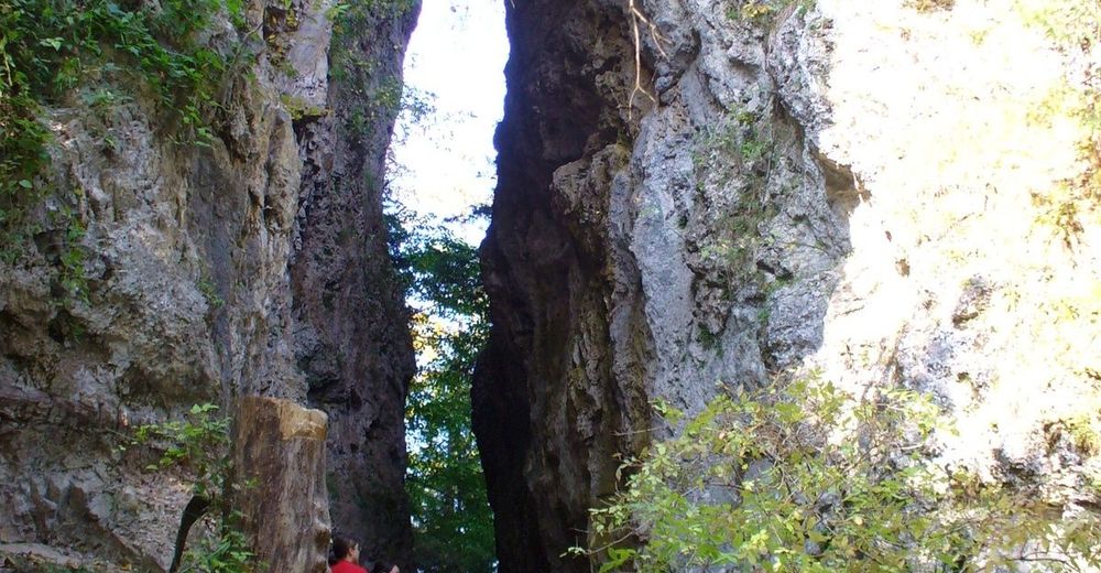
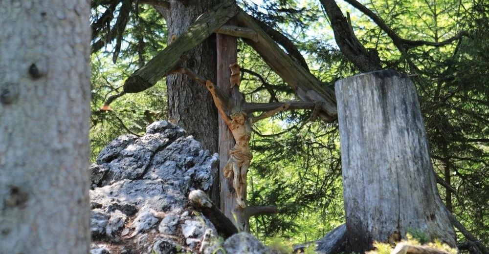
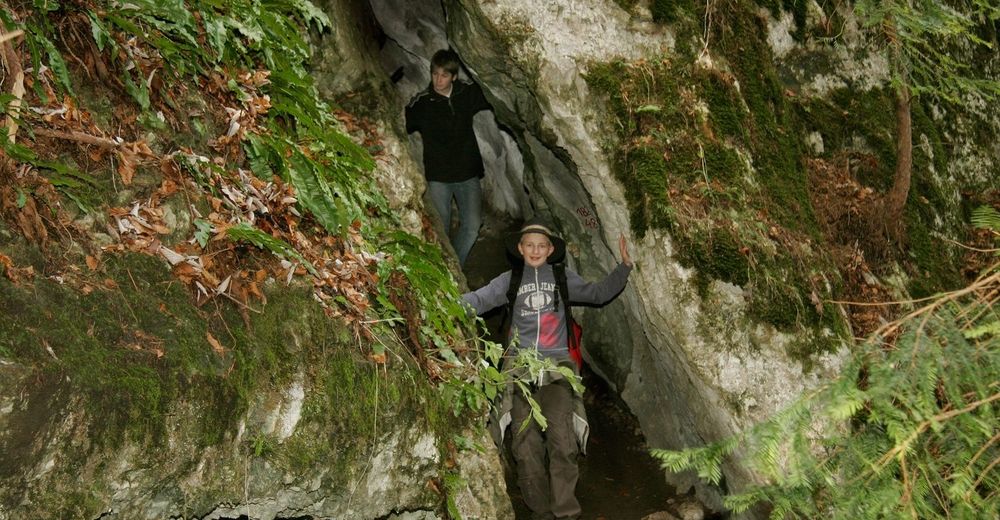
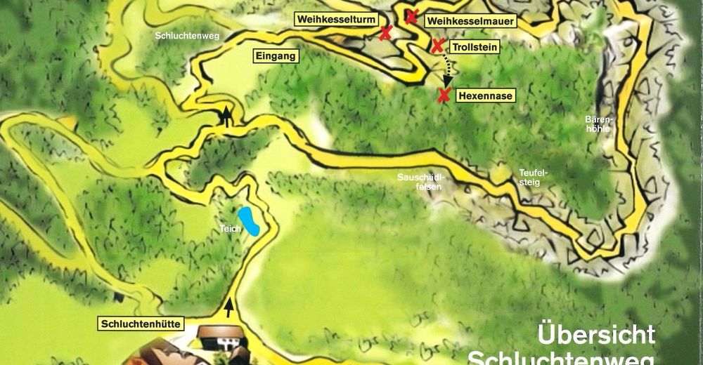
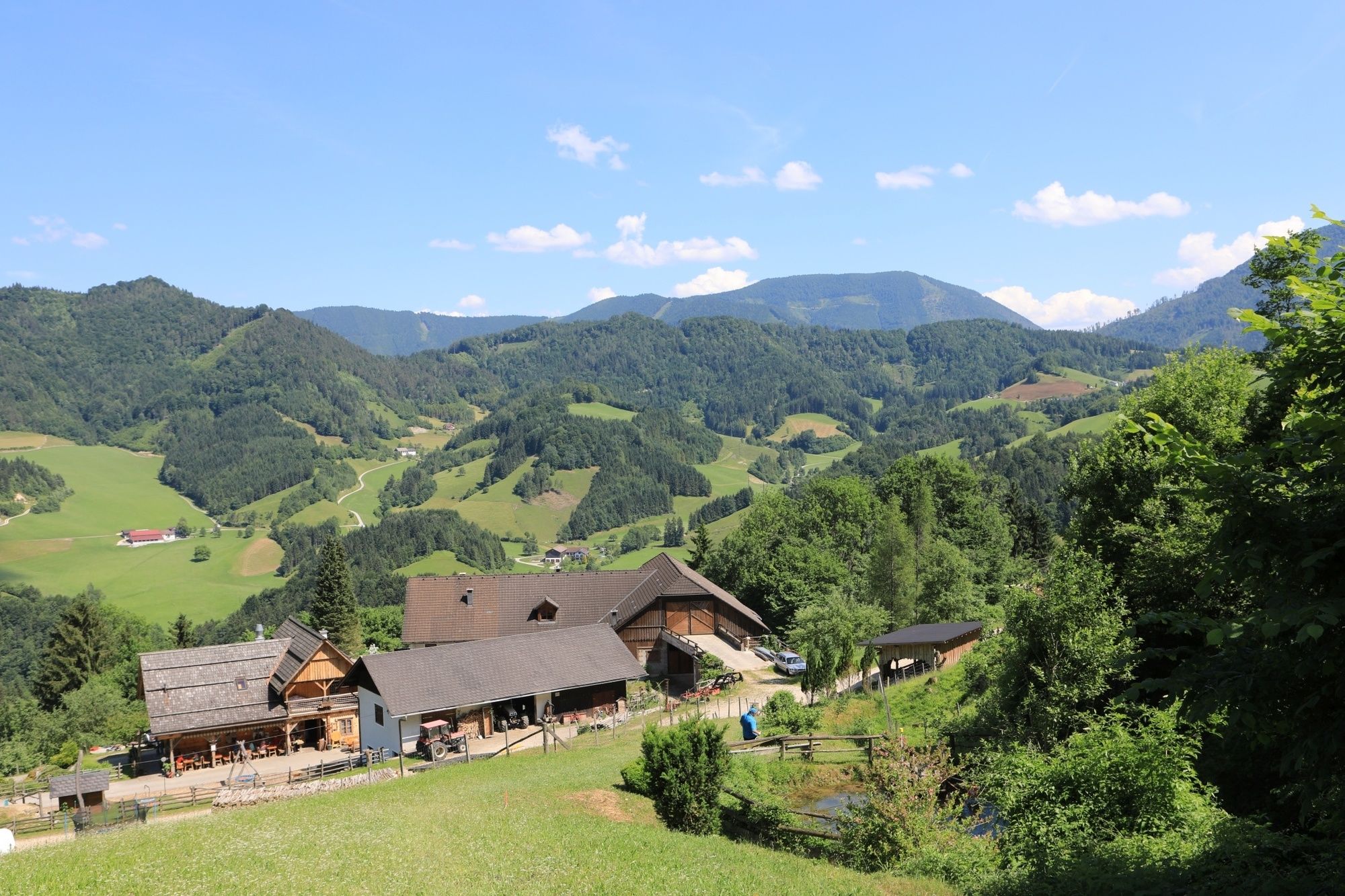
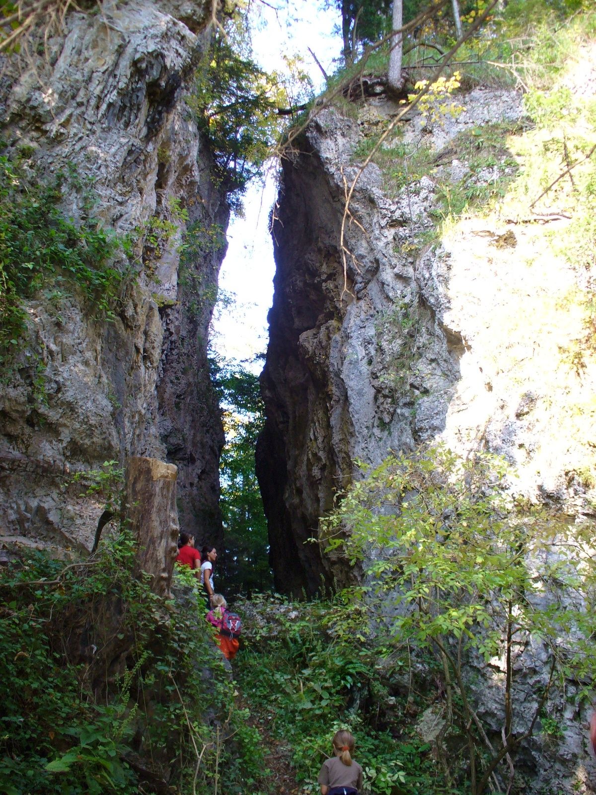
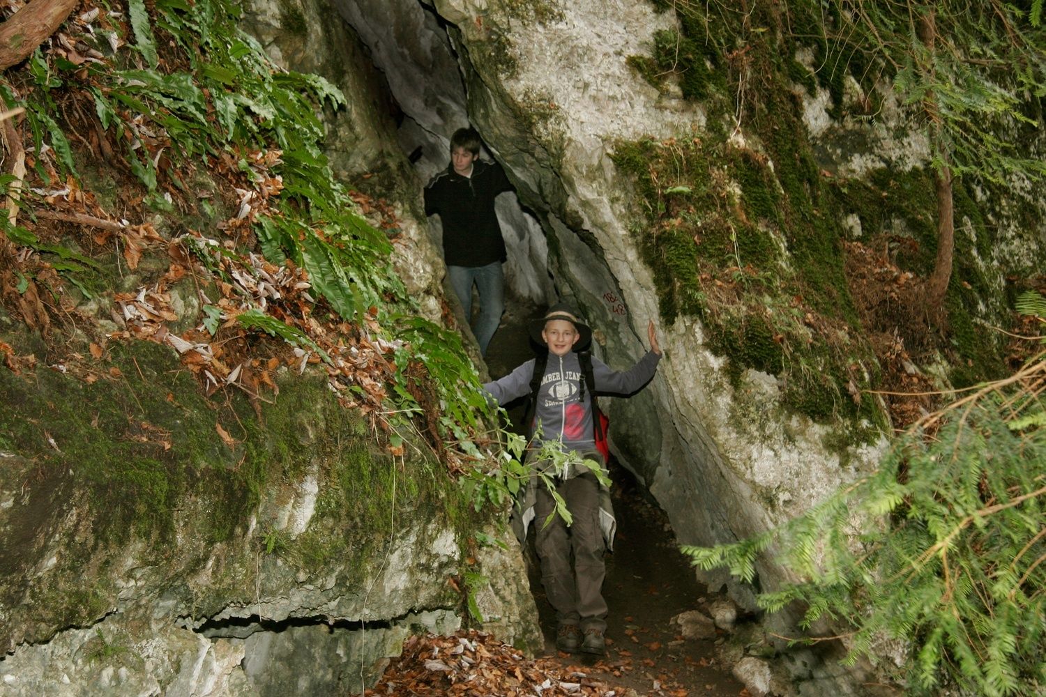
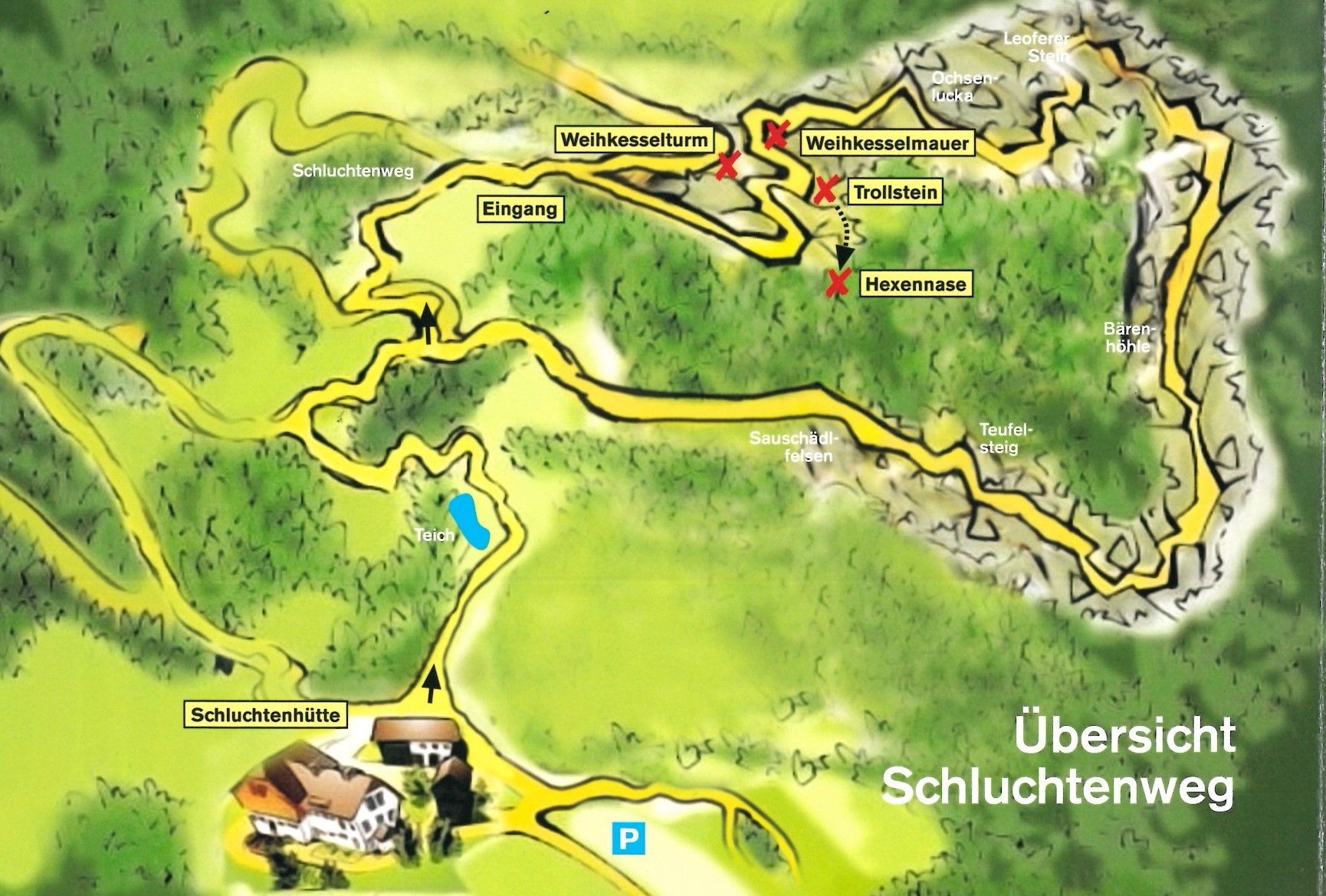
Mystischer erlebnisreicher Rundwanderweg für die ganze Familie inklusive urig-gemütlicher Einkehrmöglichkeit.
- Dificultad
-
fácil
- Valoración
-
- Ruta
-
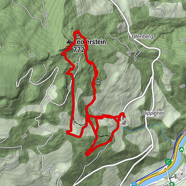
Leoferstein (772 m)4,4 km
- La mejor temporada
-
enefebmarabrmayjunjulagosepoctnovdic
- Punto álgido
- 743 m
- Punto final
-
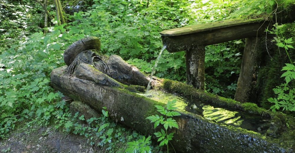
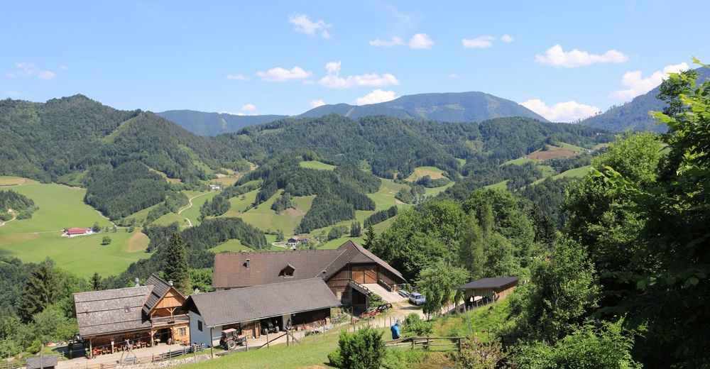
Schluchtenhütte beim Bauernhaus "Oberdippelreith"
- Perfil alto
-


- Autor
-
La gira Opponitzer Schluchtenwanderweg es utilizado por outdooractive.com proporcionado.
GPS Downloads


Información general
Punto de avituallamiento
Secreto
Flora
Vistas panorámicas
Más circuitos por las regiones
-
Mostviertel
2454
-
Melker Alpenvorland
797
-
Opponitz
236