






Römerland Carnuntum cycle route - airport circuit

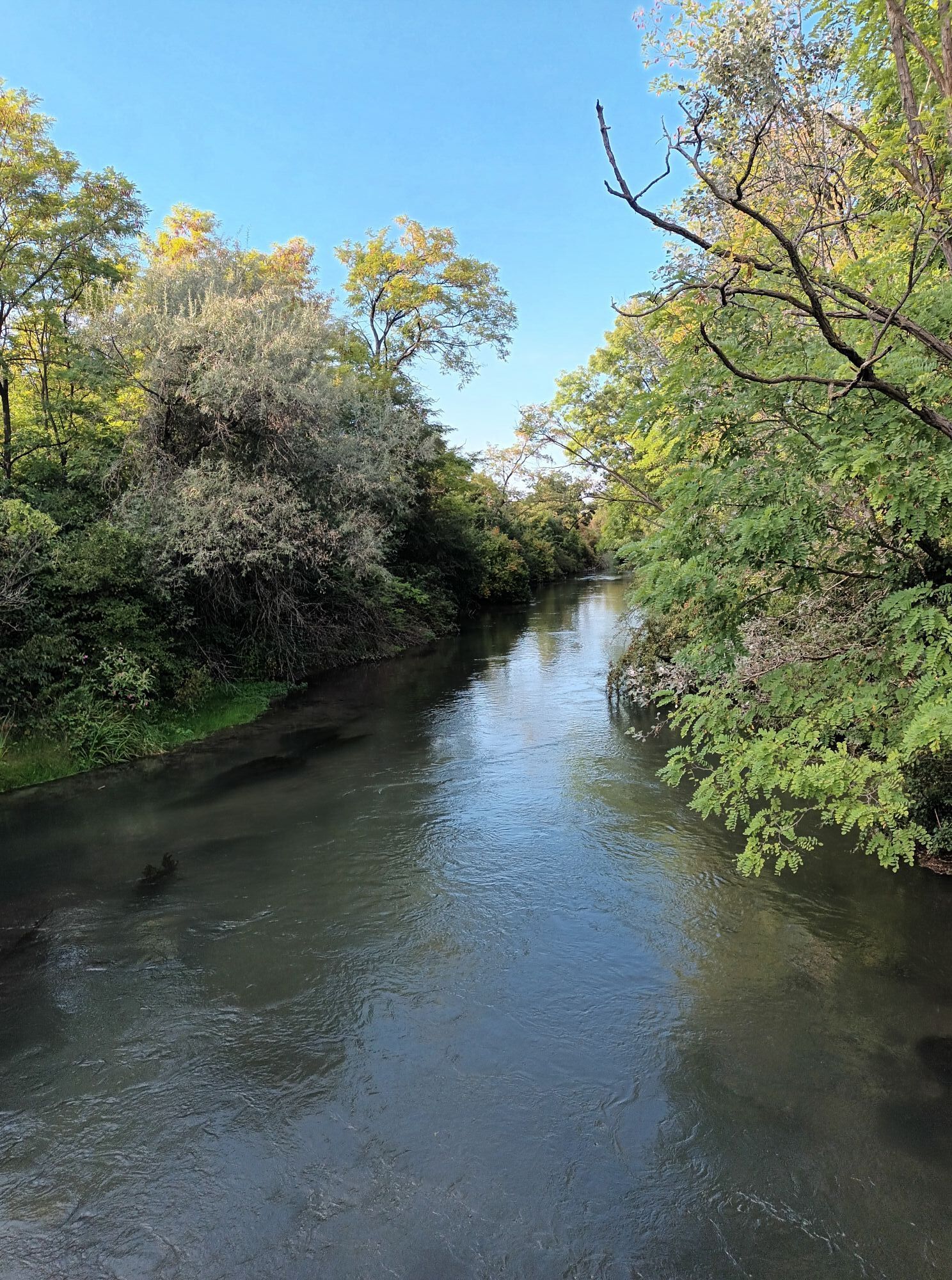
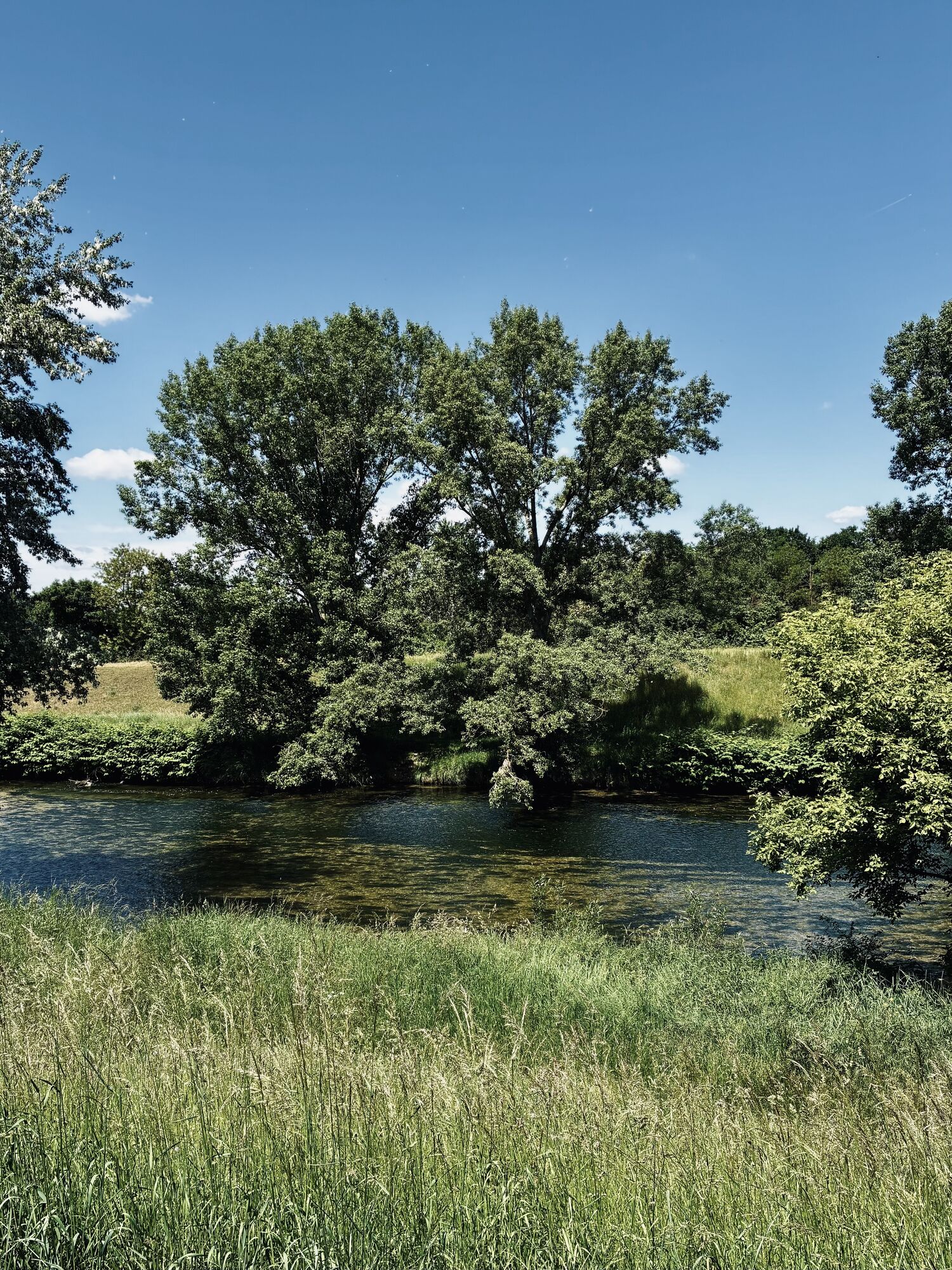

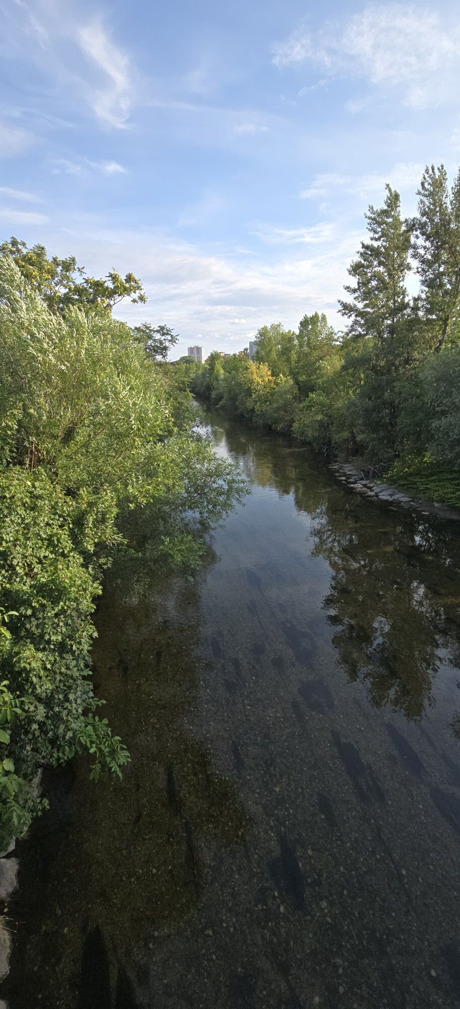
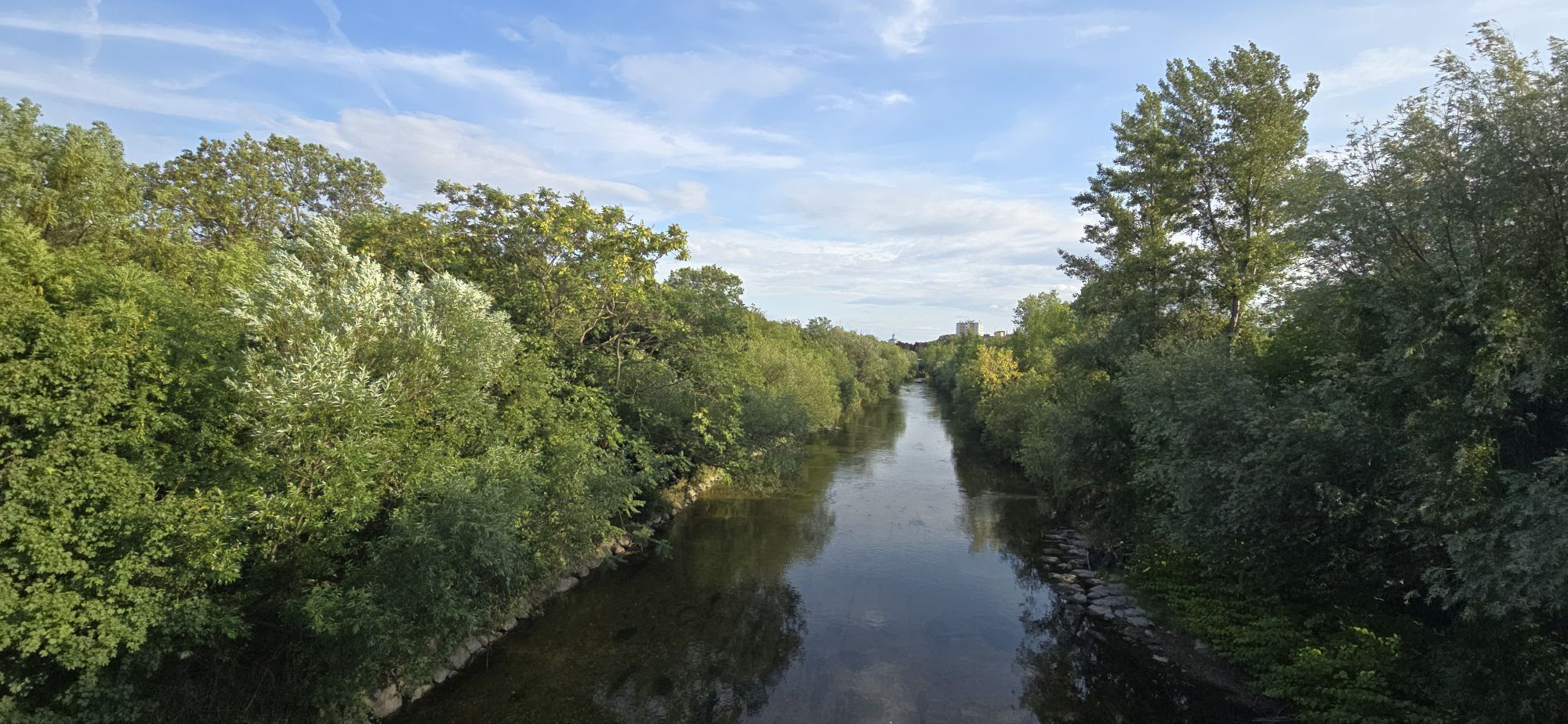
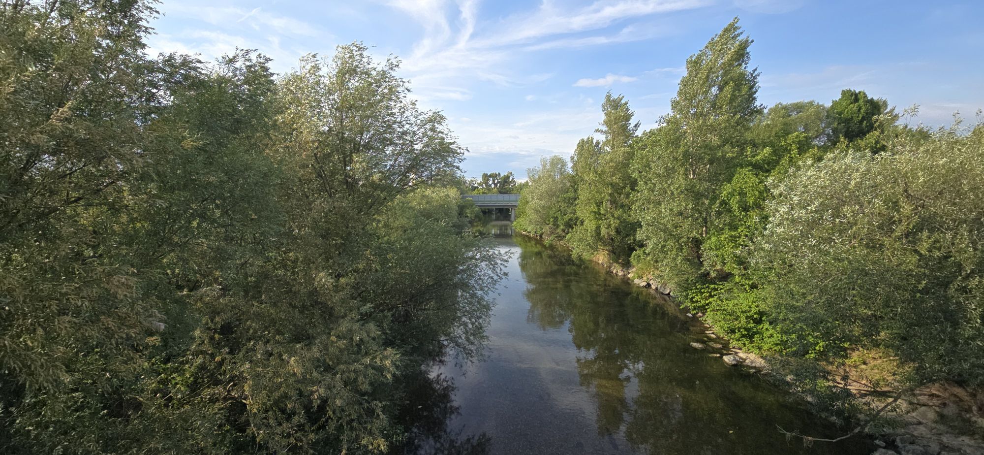

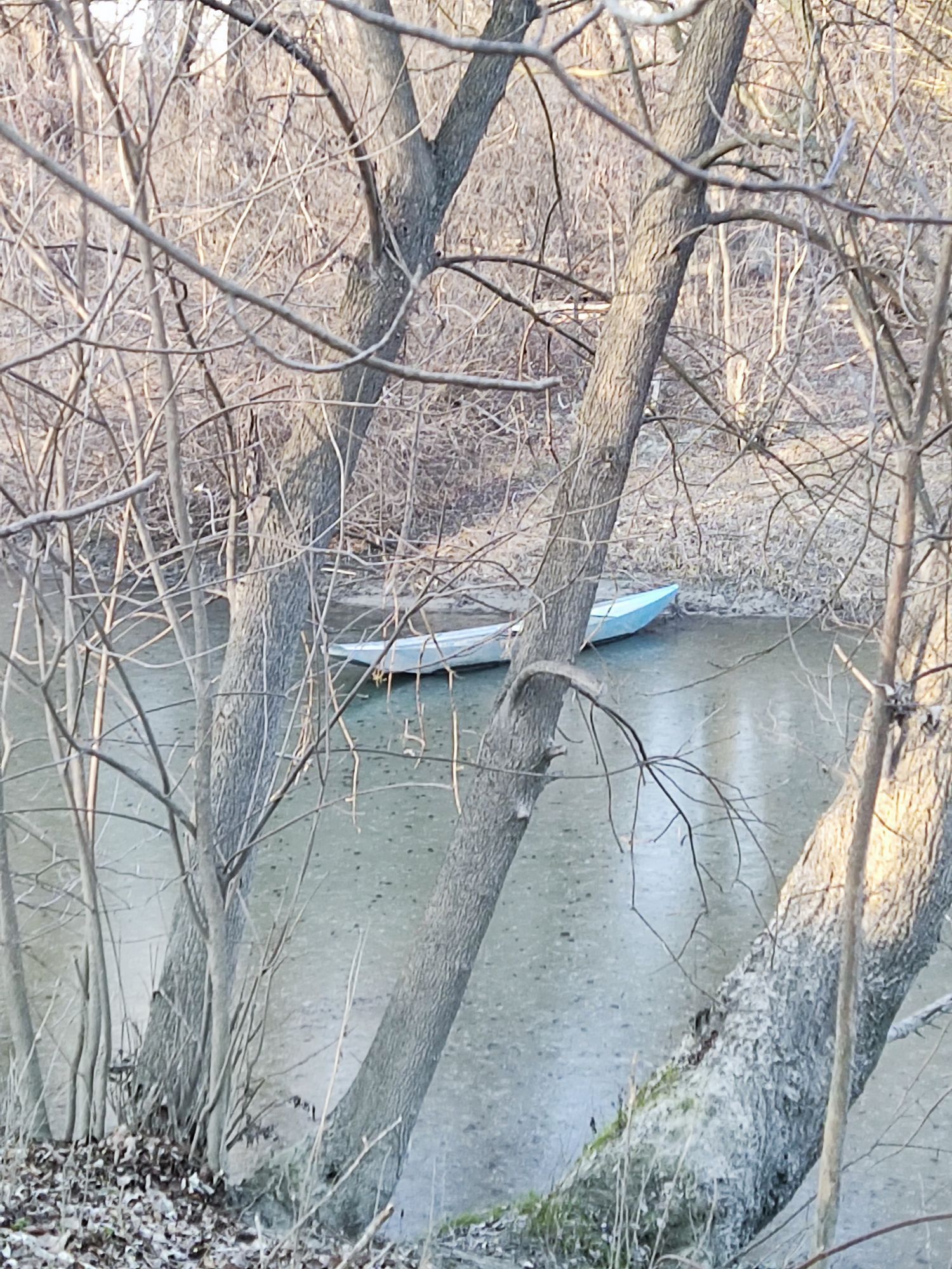
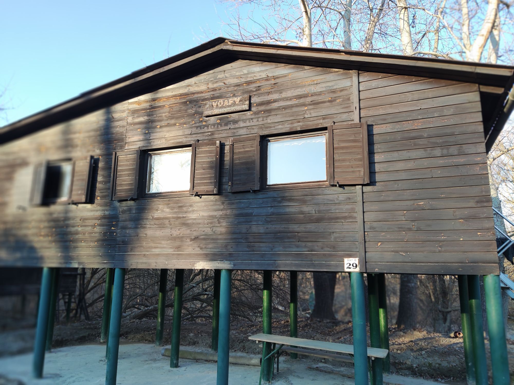
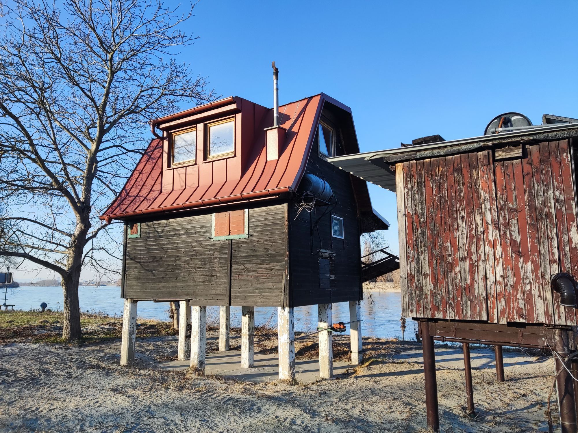
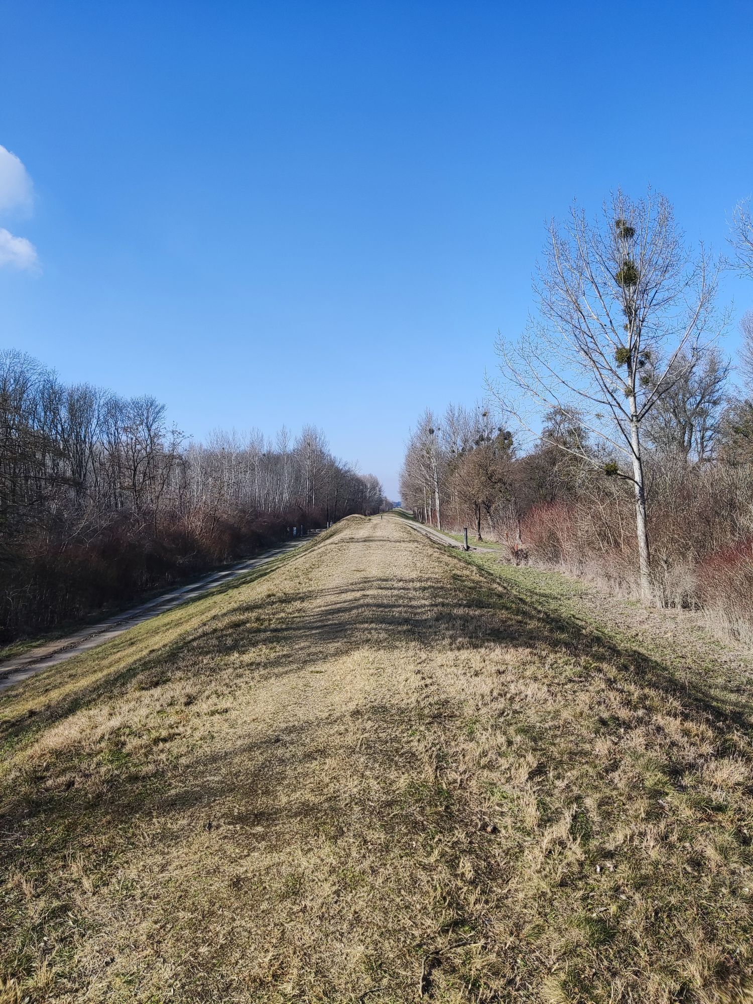
This cycle route south of the airport uniquely combines nature and technology. The starting point is Schwechat, from where the route leads over field paths and avenues through extensive farmland. A highlight...
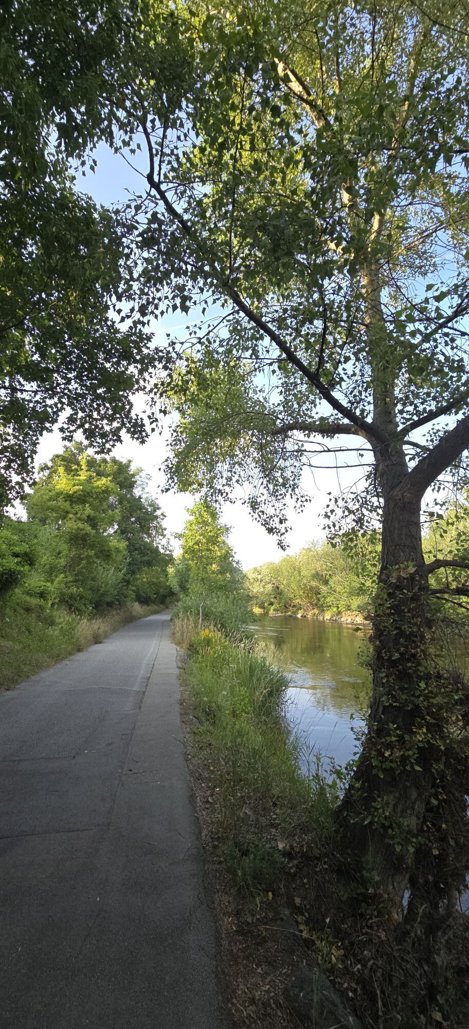
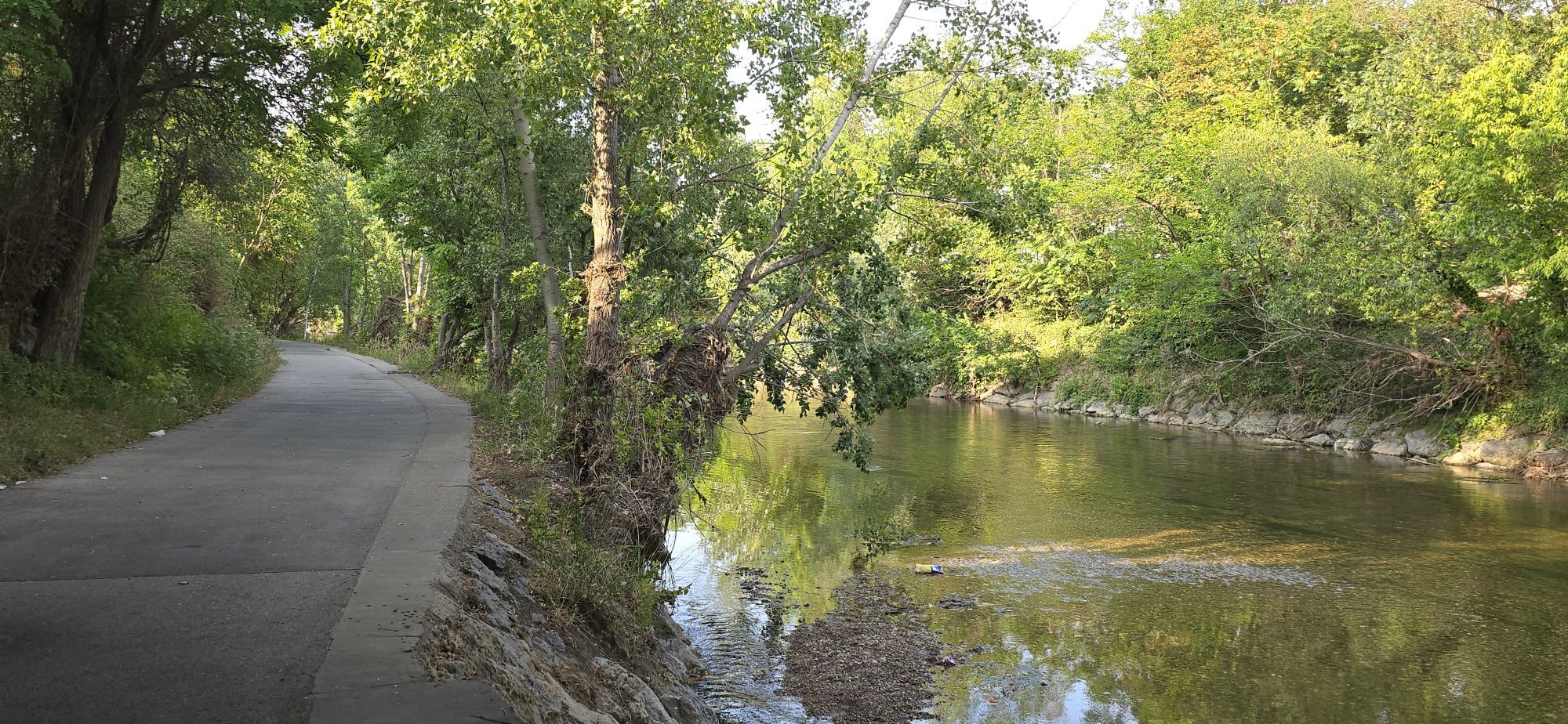
<p>This cycle route south of the airport uniquely combines nature and technology. The starting point is Schwechat, from where the route leads over field paths and avenues through extensive farmland. A highlight is the section parallel to the runways, which offers a direct view into airport operations. After circling the southern airport boundary, the route passes the wine cellar street of Klein-Neusiedl and leads over the Fischa into the Fischa floodplain near Fischamend. Here you cross the side arms of the Fischa on the "Three Bridges". The path then returns to the airport, which is crossed via the "airport cycle path". Afterwards it goes on to Mannswörth and along the Danube floodplain, with views of the Albern port. Along the Schwechat river, you return to the starting point at the station. This route offers a balanced mix of nature experience and insights into the airport infrastructure. A cycling adventure that perfectly combines enjoyment of nature and airport atmosphere!</p>

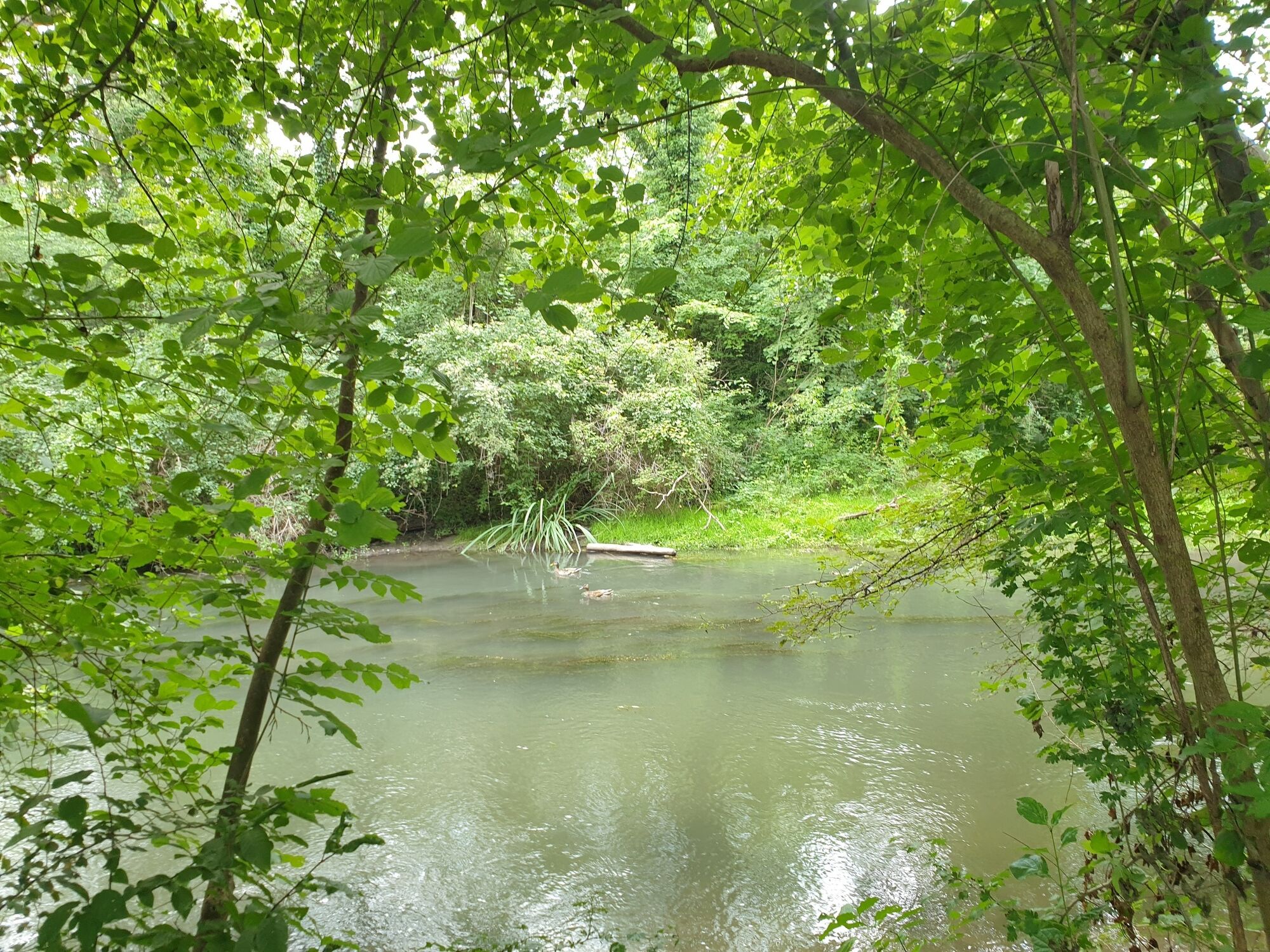

<p>Route description of the "Airport Circuit" when ridden counterclockwise:</p><p>The route is signposted in both directions with <strong>'Römerland Carnuntum cycle route 54'</strong>. In the section from Klein-Neusiedl to Fischamend no 54 signs are posted - you must follow the <strong>Fischatal cycle path</strong>. When crossing the airport, follow the signs of the <strong>airport cycle path</strong>.</p><p>Starting from Schwechat station, you cycle on a cycle path to the path along the Schwechat river. Turn left and after passing under the 'B10' Bruck-Hainburg road, go through the town hall park. At the end, go through 'Altkettenhofer Straße' to 'L2003' and cross it (caution - traffic lights). Turn right and ride alongside 'L2003' on a cycle path until you reach 'Zirkelweg' on your left. This leads onto a field path that crosses the motorway, then shortly afterwards turn right. This field path passes the 'GC Golf Range Vienna Schwechat' and later turns left towards 'Aichhof'. Continue here until crossing 'B10' Bruck federal road (caution - stop sign). Up to this point it is 7.5 km.</p><p>Then continue 8.5 km to Schwadorf. You cycle south of the airport, passing the 'Katharinenhof' and with views of airport operations. A right turn follows and shortly before 'B10' turn left to a paved field path leading to Schwadorf.</p><p>From Schwadorf to Fischamend 'Three Bridges' it is 6 km. You first cycle along the southern airport border next to the fence and before Klein-Neusiedl turn left and before the cemetery turn right. Turn left onto 'Katharinenhofstraße' then right into 'Bildbaumweg' and immediately left again onto 'Kellerzeile', passing the wine cellars. Then turn left onto 'Hutweideweg', past the sports field, to 'L156'. Cross this road (caution) to reach the field path 'Fischamender Straße'. After one left turn, reach the wooden bridge over the Fischa. Cross this and turn left onto the Fischatal cycle path before 'B60' Fischamender Straße. Follow this path to Fischamend, then turn left into 'Grimmgasse'. Follow this street until crossing 'Gregerstraße' and then continue on 'Fehrgasse' to the 'Three Bridges'.</p><p>Continue on Fährgasse over the four side arms of the Fischa to 'L156'. Here cross the railway line and main road (caution) and turn left into 'Kirchenweg'. Then turn right into 'Feldgasse' to 'B9' Wiener Straße, turning left on the cycle path before the road. This leads alongside the federal road onto 'Reichsstraße'. Then turn right onto 'Zeppelinstraße' and ride to the airport cycle path next to the federal road and motorway. From the 'Three Bridges' to the airport it is 4 km.</p><p>The crossing of the airport (3 km) takes place on the airport cycle path and there are detailed route plans for crossing at both sides of the path (caution). You cross 'B9' at a traffic light and continue on 'Stichstraße West'.</p><p>At the end, turn right onto 'L2064' to cross the East Motorway and immediately after the bridge turn left onto the cycle path next to the motorway (CAUTION). This path then bends right and leads to 'L2064', which is crossed again here. Continue on an embankment path left over 'Baumeistergasse' and 'Zainethbrückengasse' then right onto 'Jägerhausgasse'. Then turn left onto the embankment path 'Mannswörther Straße' to ride through the green areas to the cycle path next to the Schwechat river. From here you comfortably return without road crossings to the junction to the station. The path goes through four underpasses ('L2064', East Motorway, 'S1' and East railway). The distance from the airport to the station is 7 km.</p>
<p>On unpaved paths there may be disruptions after heavy rain or repair work. The municipalities strive to check the routes quickly and repair damages. Please ride carefully!</p>
<p>A4 exit Schwechat</p>
<p>Train:<br />ÖBB - S7: Schwechat</p>
<p>Schwechat</p>

Rutas populares en los alrededores
-
4,7
Eckartsauer Donaurunde
luzSenderismo 8,96 km -
4,1
Eine große Runde durch die Lobau
medioSenderismo 25,3 km -
4,3
Mühlwasserrunde
luzSenderismo 10,6 km -
4,0
Mannersdorf Wüste - Gipfelkreuz - Ruine - Labyrinth
luzSenderismo 9,32 km -
4,8
Untere Lobau
luzSenderismo 7,93 km -
4,5
Spaziergang Lobau zur Panozzalacke
luzSenderismo 11,4 km -
4,7
Rundwanderung Naturpark Donauauen
luzSenderismo 12,9 km -
4,0
Donauinsel - Lobau
luzCiclismo 21,0 km -
4,0
Mannswörther Au
luzSenderismo 5,52 km -
5,0
Winzer-Tour-Carnuntum
luzCiclismo 42,8 km
Senderismo y rastreo


No se pierda las ofertas y la inspiración para sus próximas vacaciones
Su dirección de correo electrónico se ha añadido a la lista de correo.





