






Weinberg route
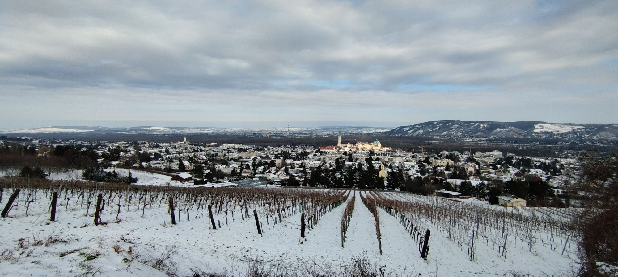
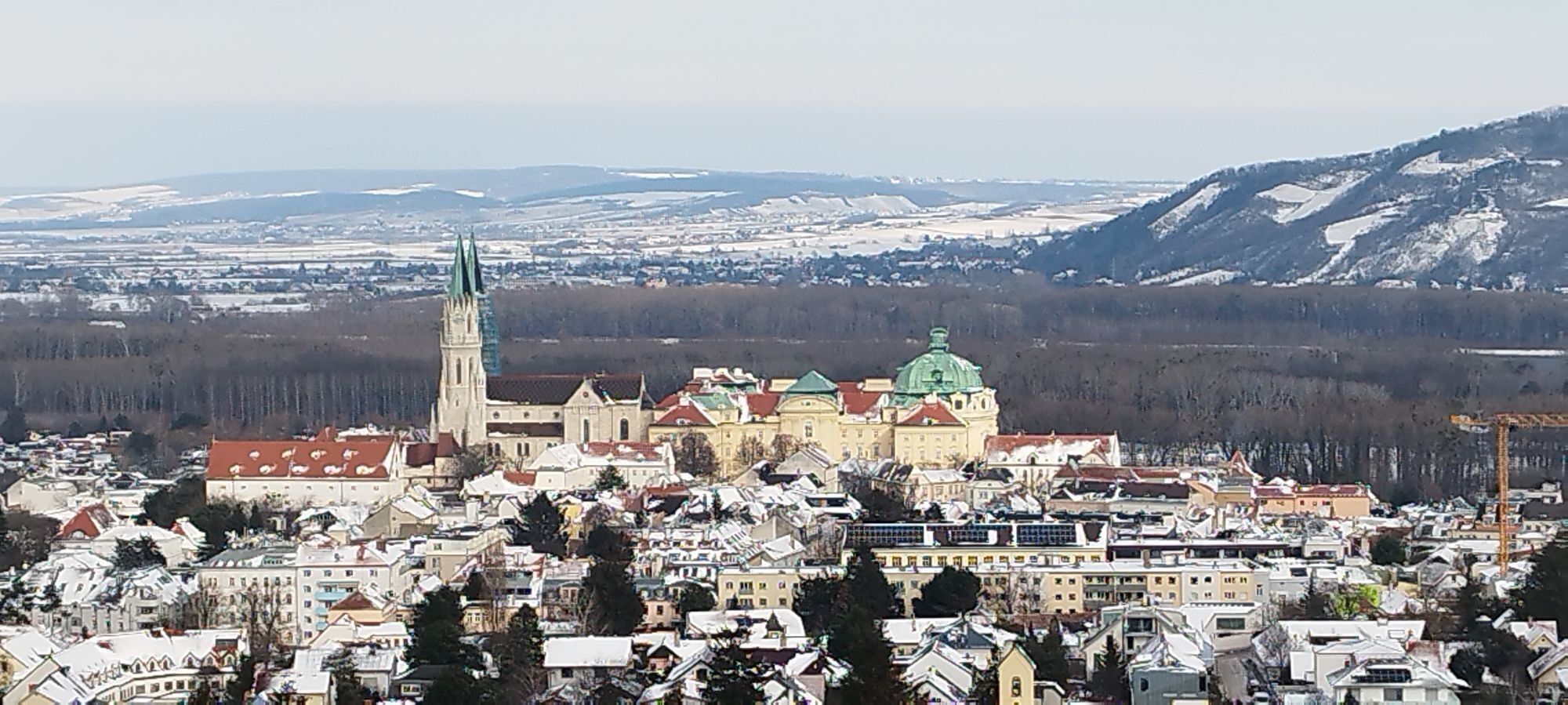
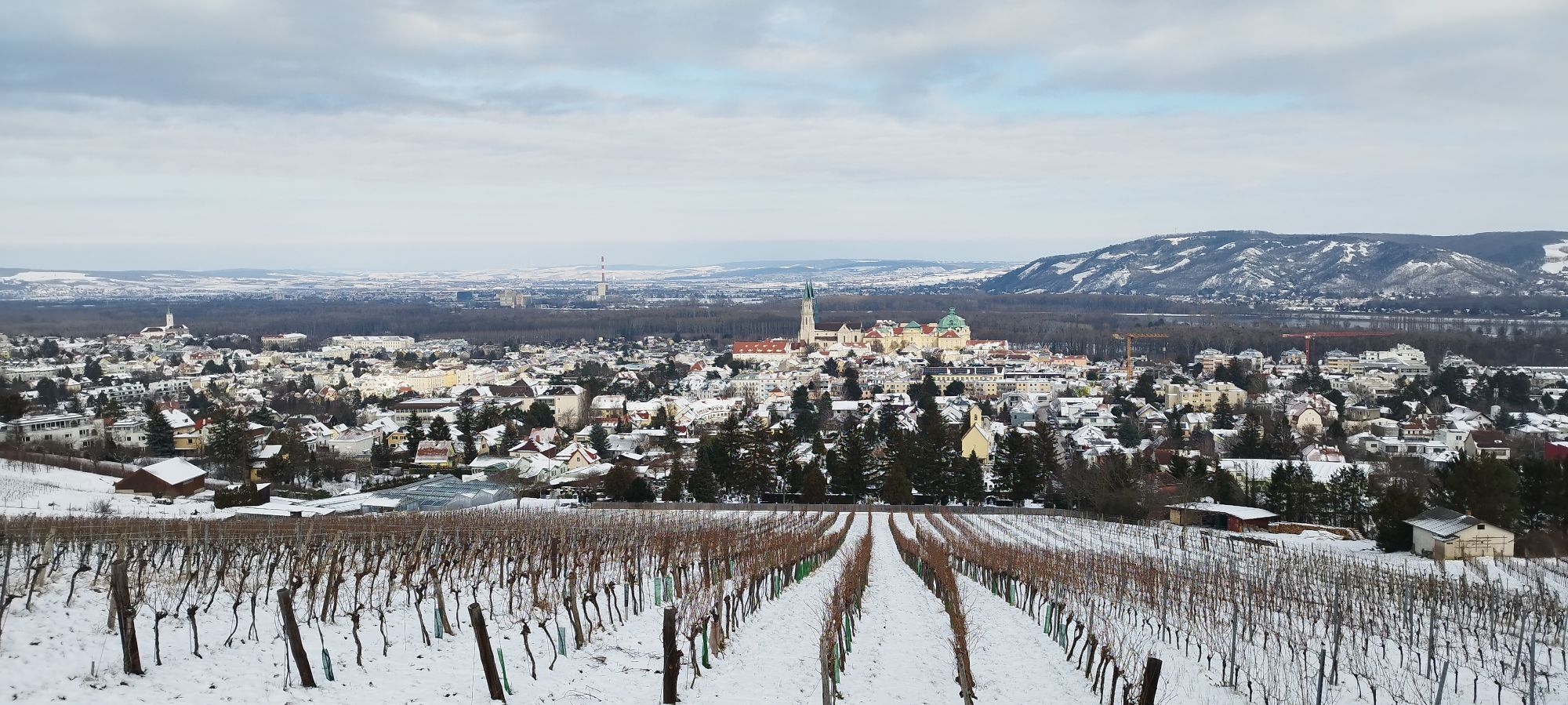
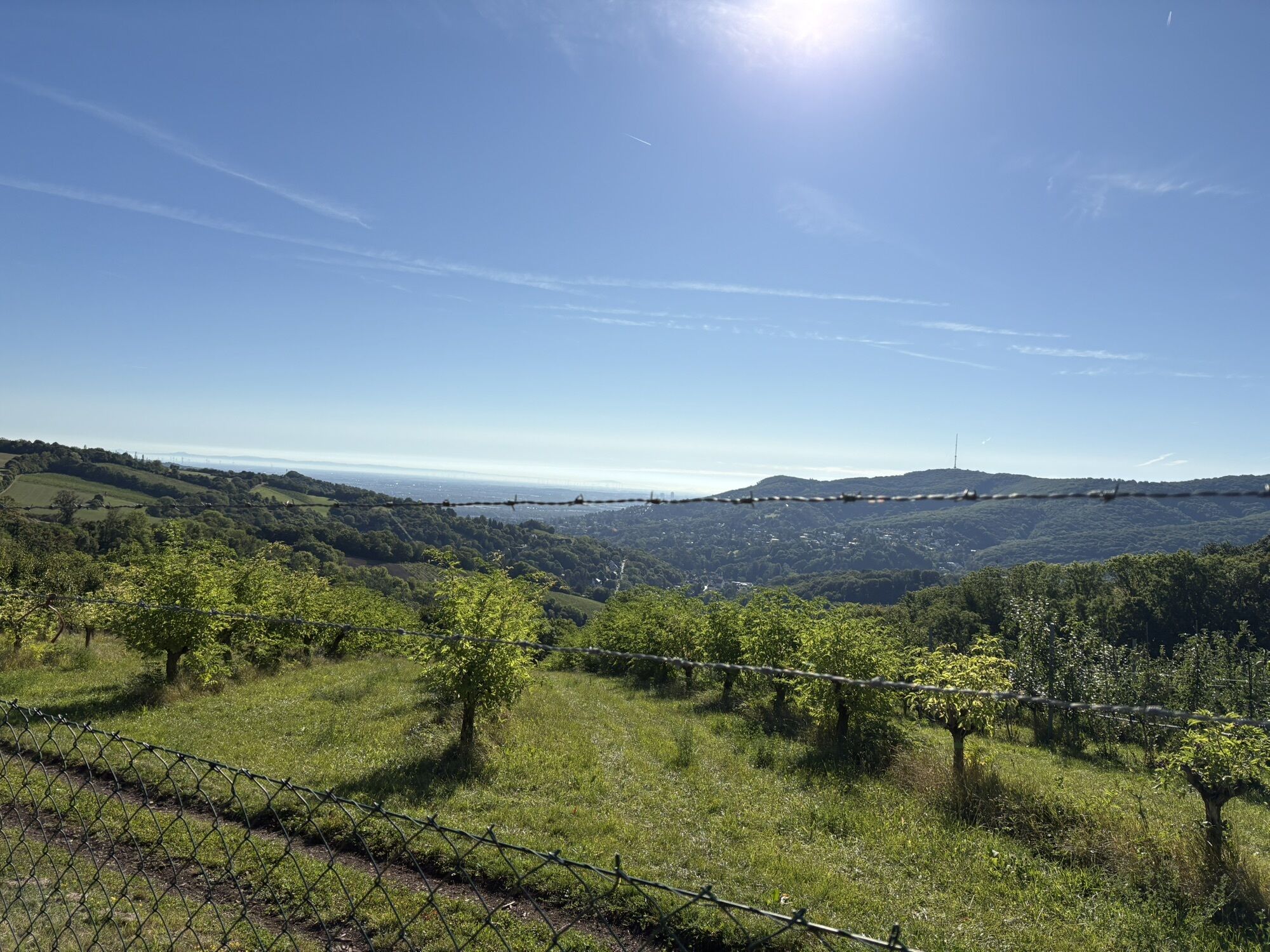
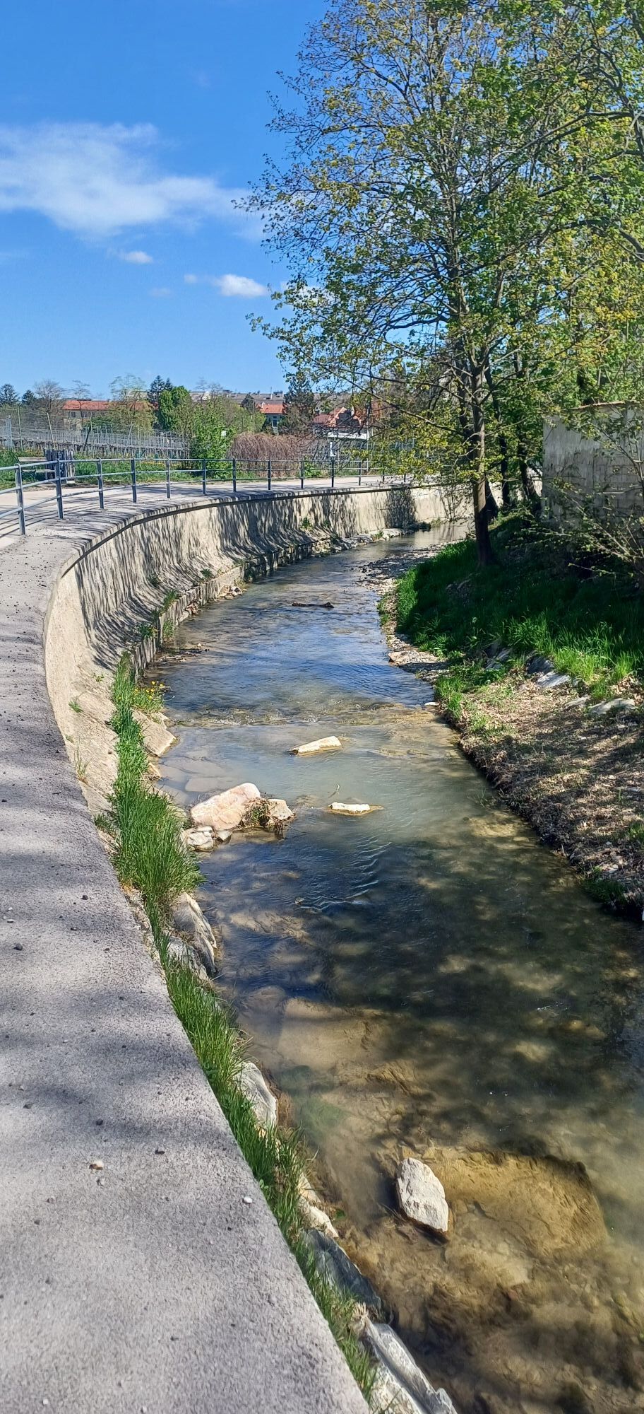
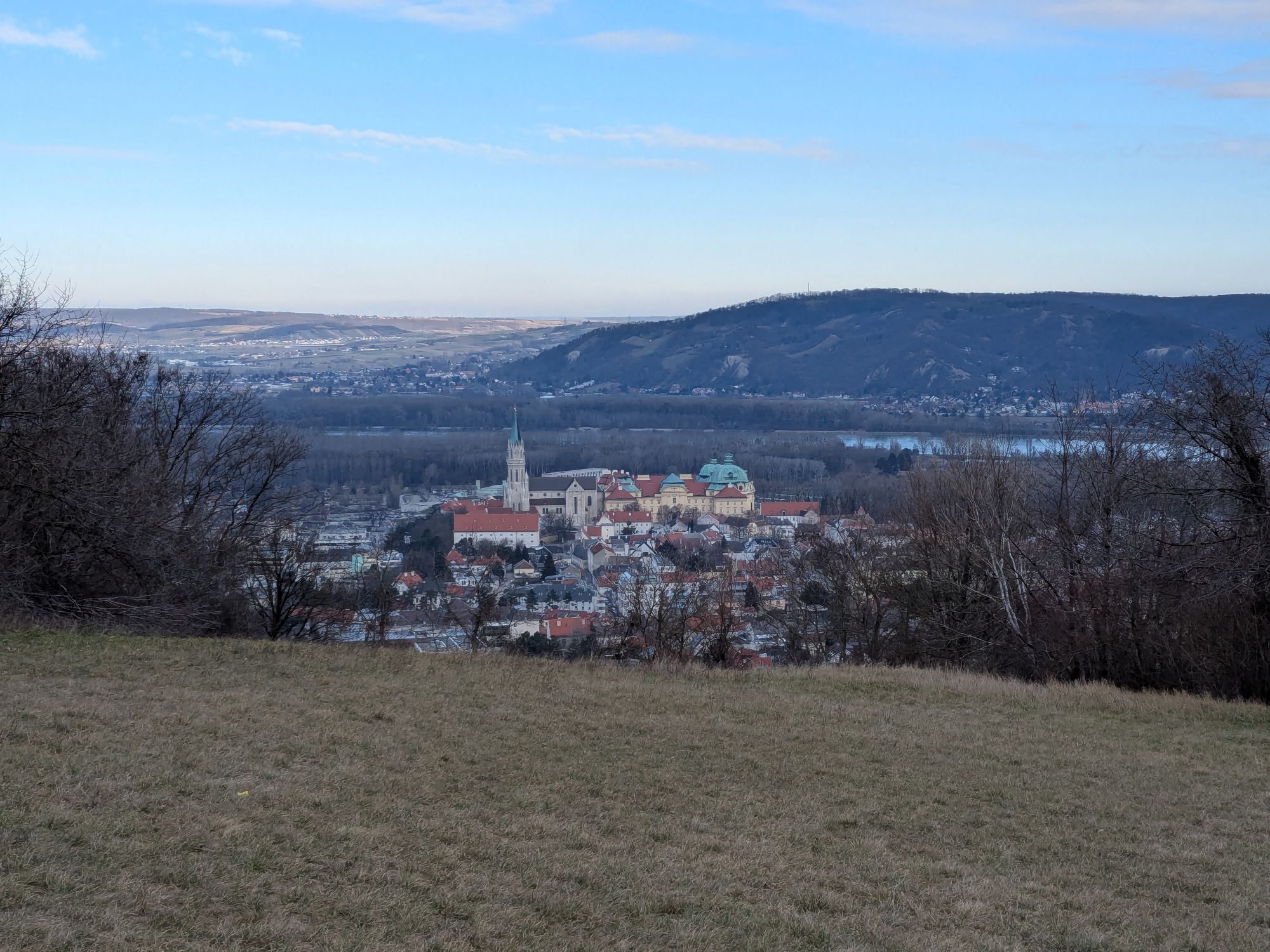
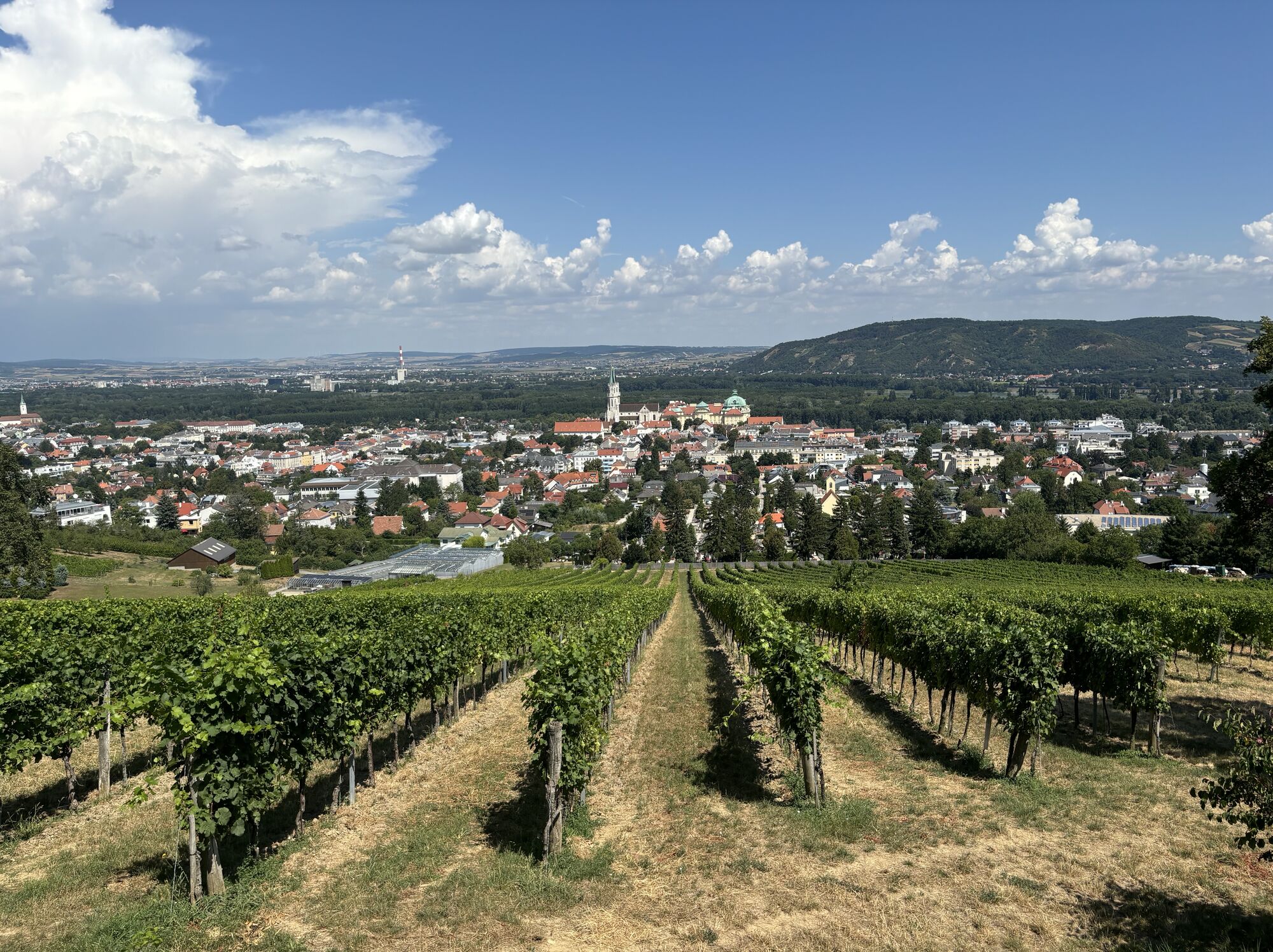
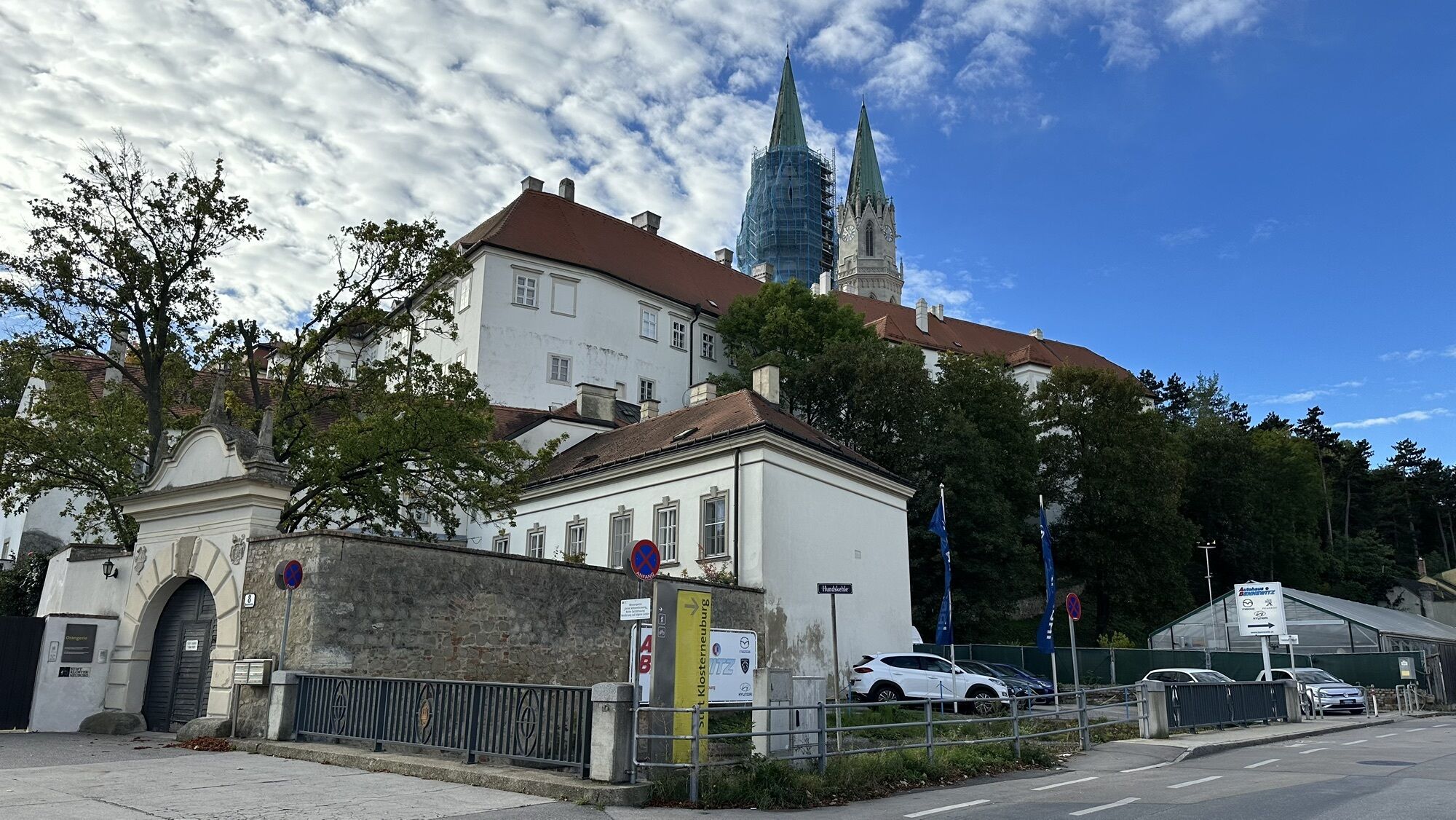
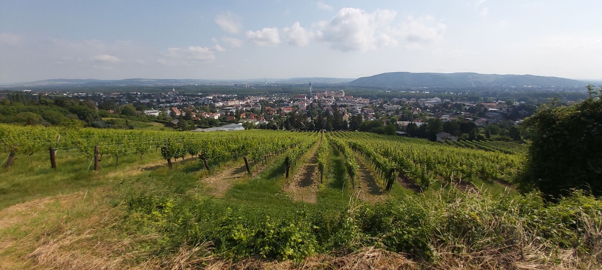
The Weinberg route is an easy mountain bike trail in the Wienerwald that runs over a length of 4.09 kilometers from the Veiglhütte to the entrance in Pfaffstätten. The route runs through picturesque vineyards...
<p>The Weinberg route is an easy mountain bike trail in the Wienerwald that runs over a length of 4.09 kilometers from the Veiglhütte to the entrance in Pfaffstätten. The route runs through picturesque vineyards and offers an insight into the wine-growing tradition of the region. Along the way there are dining options that invite you to rest and taste local wines. The trail is suitable for beginners as well as families and can be ridden in both directions.</p>

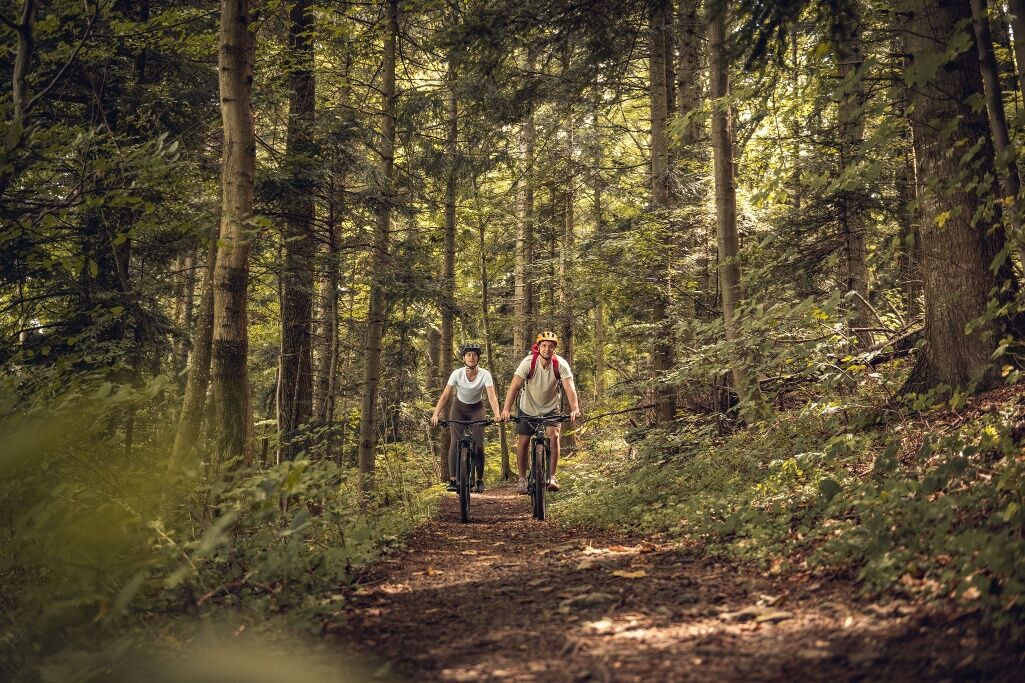

<p>From Happyland in Klosterneuburg we cycle via Niedermarkt and Hundskehle towards the west, leave the city through Franz Rumpler St. and Jahngasse and enter the Eichenhain adventure park. After numerous sweat-inducing altitude meters we reach the Hohenauer meadow and turn south at the Steinböck hut, leaving the Babenberger route that runs parallel so far. The rest of the route is rolled leisurely first through forest and then through settlements back to Klosterneuburg.</p><p>Surface: Asphalt 63%, gravel 35%, forest/meadow 2%</p>
<p>A safe and functional mountain bike is a prerequisite for all routes. Helmet and gloves protect in the event of falls and can be extended with knee and elbow protectors on single/shared trails. A modern mountain bike with disc brakes and adequate tire profile is recommended. For single and shared trails from the red difficulty level, a full-suspension bike with modern geometry is recommended. Tools, tire levers, pump, and spare tube help in case of a breakdown. Plenty of provisions (drinks and food) should also be carried, as well as a mobile phone and wind/rain jacket.</p>
<p>Before each ride, check the functionality of brakes, tires and suspension fork/damper. Always ride with hazard visibility and controlled speed, and adjust route choice to the riding skill of the group and the ground conditions. The <strong><a href="www.wienerwald.info/mountainbiker-fai... Play</a></strong> rules must be observed at all times. Single/shared trails as well as built routes in trail parks and trail centers often feature stones, roots, steep sections, steps and tight turns that require certain riding skills. When in doubt, simply dismount and push the bike.</p>
<p>Coming from Vienna take B14 to Klosterneuburg.
</p><p>Coming from the west take A1 and B1 to Stampfergasse, then via Hüttelbergstraße, Amundsenstraße, Höhenstraße, Sieveringer Straße and Hauptstraße to Klosterneuburg.</p><p>Coming from the south take A2, then continue on A23 to the A22 exit, then follow B7, A22 to the Nordbrücke exit, then on B14 to Klosterneuburg.</p>
The elevation data for this trail was calculated based on the A-MAP. Due to different map bases from routing/navigation apps and devices, slight differences in data are inevitable. More information can be found in the following blog post!
Wienerwald Tourismus GmbH
Hauptplatz 11, 3002 Purkersdorf
Tel. +43/2231/621 76
Email: office@wienerwald.info
Website: www.wienerwald.info
Information for possible excursion destinations:
KlosterneuburgTIP:
Klosterneuburg MonasteryDining options with award:
Markgraf Wirtshaus & HotelWinegrower Buschenschank VINOthekDining options:
Hotel AnkerCafe Restaurant VeitCafehaus HollerKostbarINdERBURGGasthaus TratKerbl am WeinbergHeuriger Trat-Wiesner
Infórmate
Siempre en directo con más de 9.500 webcams. bergfex Como usuario Pro, ahora puede ver las webcams correspondientes a muchos tours en la app de tours desde. Esto le permite ver las condiciones actuales directamente.
Rutas populares en los alrededores
-
4,9
Stadtwanderweg 1
luzSenderismo 11,1 km -
4,9
Stadtwanderweg #2, Hermannskogel, Top of Vienna 😆
luzSenderismo 11,1 km -
4,8
Stadtwanderweg 1a - Leopoldsberg / lt. Beschilderung
medioSenderismo 10,2 km -
4,7
Königstetten-Figlwarte-Hainbuch-Königstetten
medioSenderismo 9,30 km -
4,7
Nasenweg Leopoldsberg Rundweg
medioSenderismo 4,08 km -
4,6
Stadtwanderweg 4
luzSenderismo 8,48 km -
4,6
Rundwanderung Gablitz Gemeindeamt - Troppberg - Rabenstein - Gablitz Gemeindeamt
luzSenderismo 12 km -
4,5
Stadtwanderweg 3, Hameau (lt. Beschilderung)
luzSenderismo 9,78 km -
4,5
Stadtwanderweg 5 Bisamberg (lt. Beschilderung)
luzSenderismo 10,5 km -
4,6
Vienna's highest peaks: Leopoldsberg, Kahlenberg and Hermannskogel
luzSenderismo 13,6 km
Senderismo y rastreo


No se pierda las ofertas y la inspiración para sus próximas vacaciones
Su dirección de correo electrónico se ha añadido a la lista de correo.





