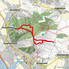
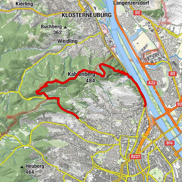
Vienna's highest peaks: Leopoldsberg, Kahlenberg and Hermannskogel

Senderismo
Datos del tour
13,58km
162
- 542m
400hm
350hm
04:00h
- Breve descripción
-
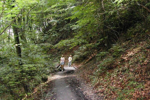
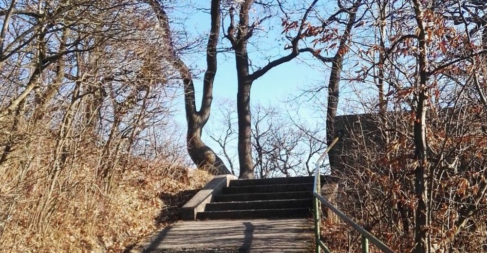
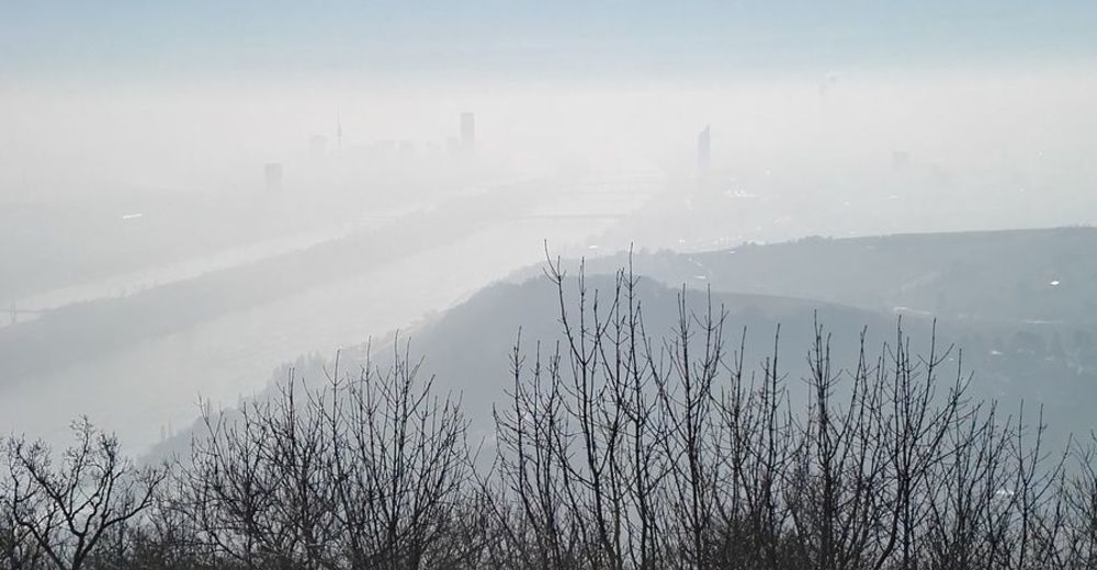
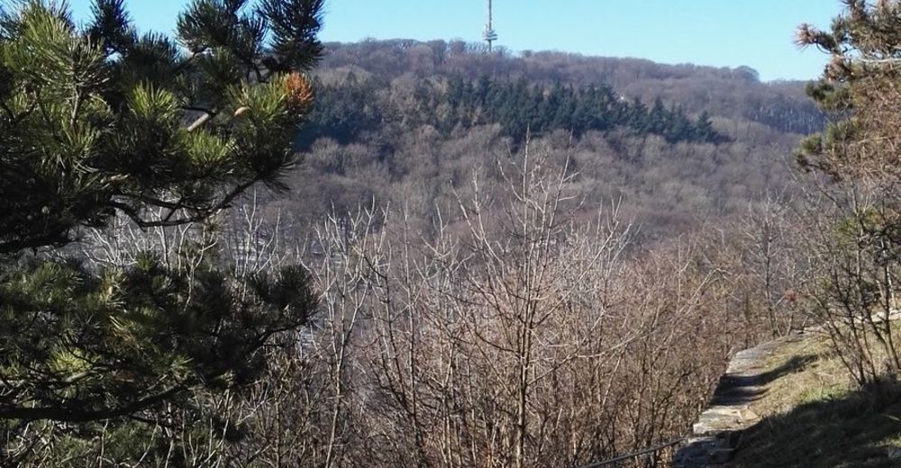
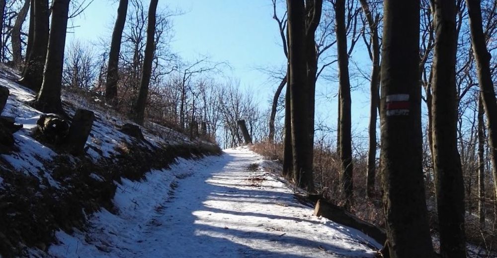
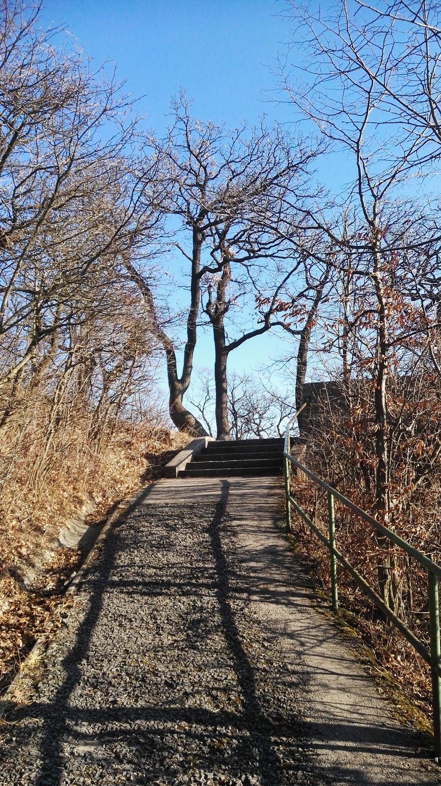
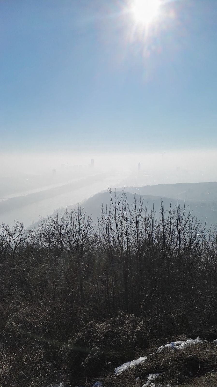
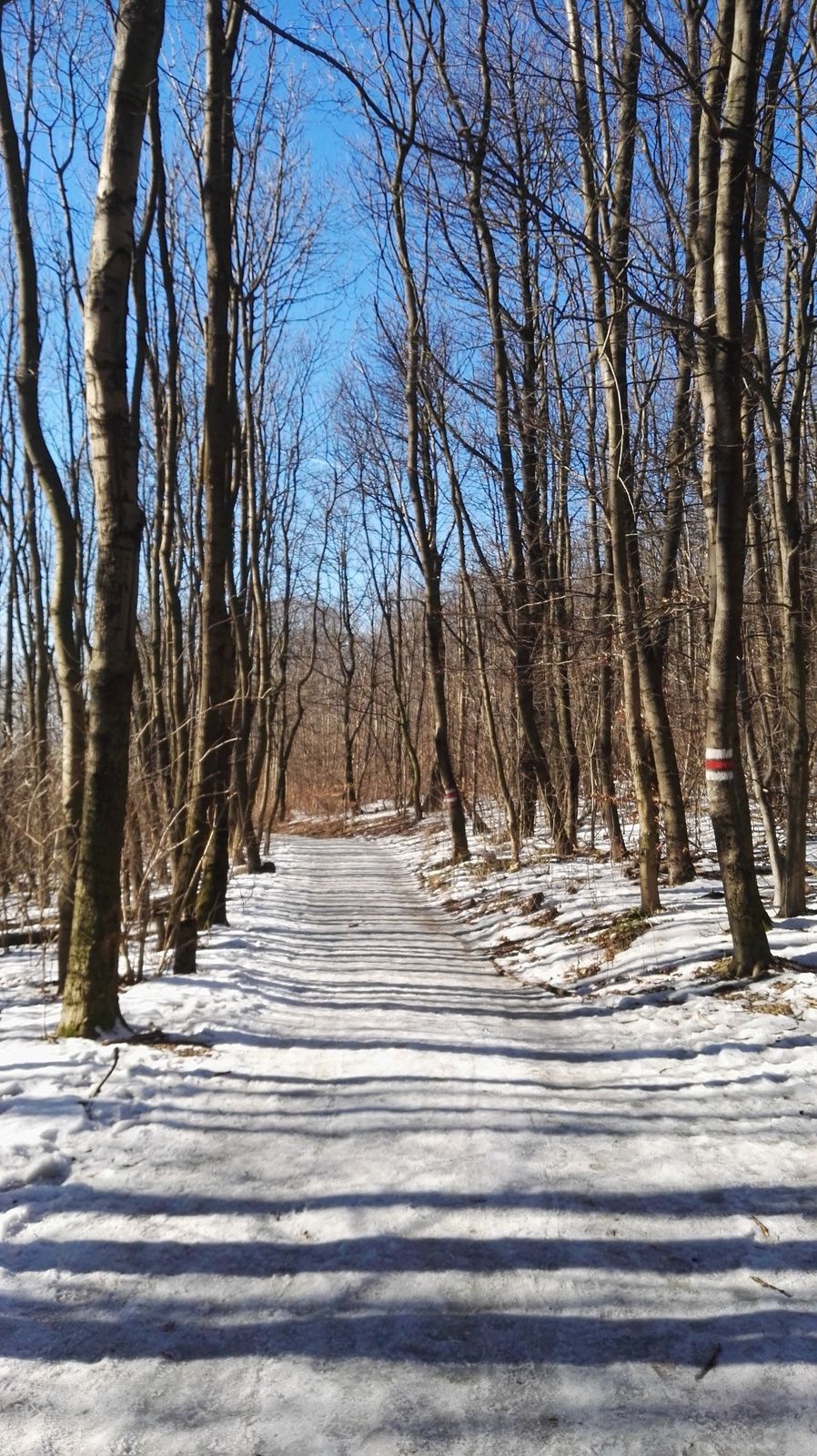
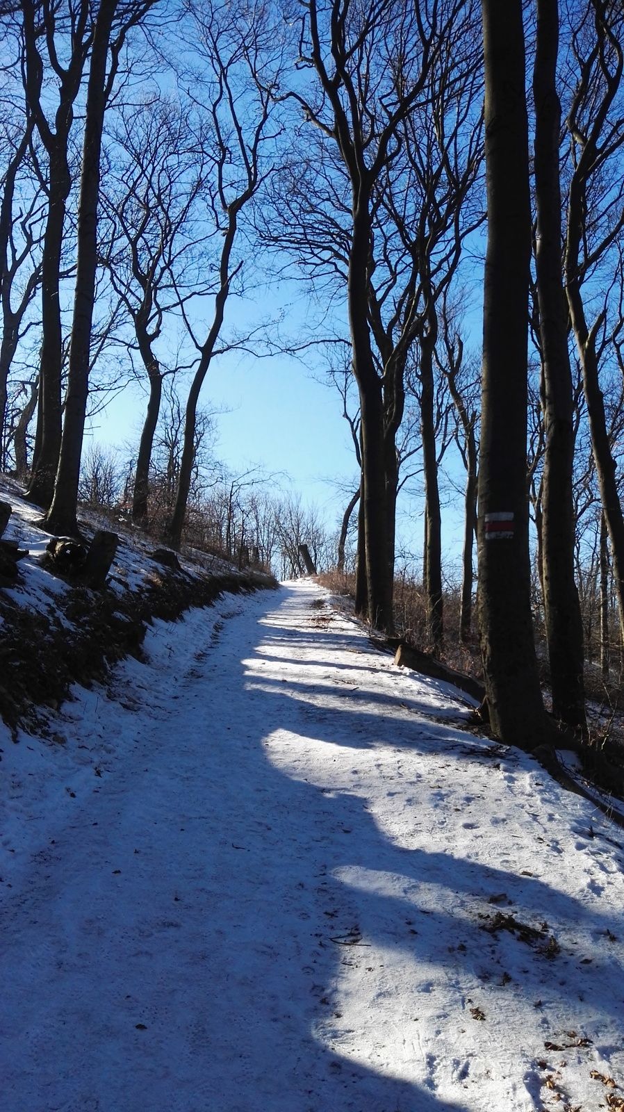
One of the nicest hikes in Vienna. If you have half a day spare time, nice weather and want to check out some of the best views over the city this hike is the way to go. However note that there is a steep passage and about 300 meters in altitude difference.
- Dificultad
-
fácil
- Valoración
-
- Punto de salida
-
Nußdorf train station
- Ruta
-
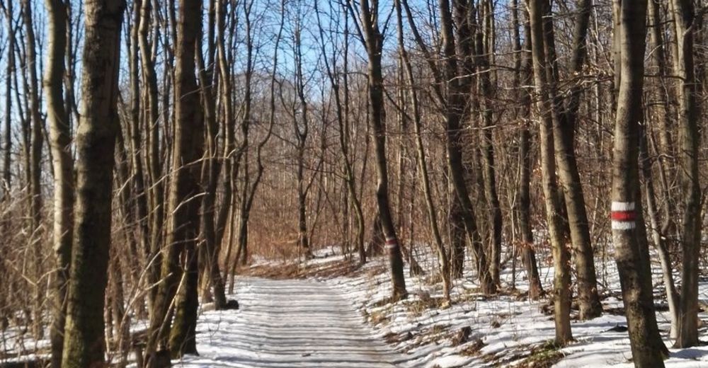
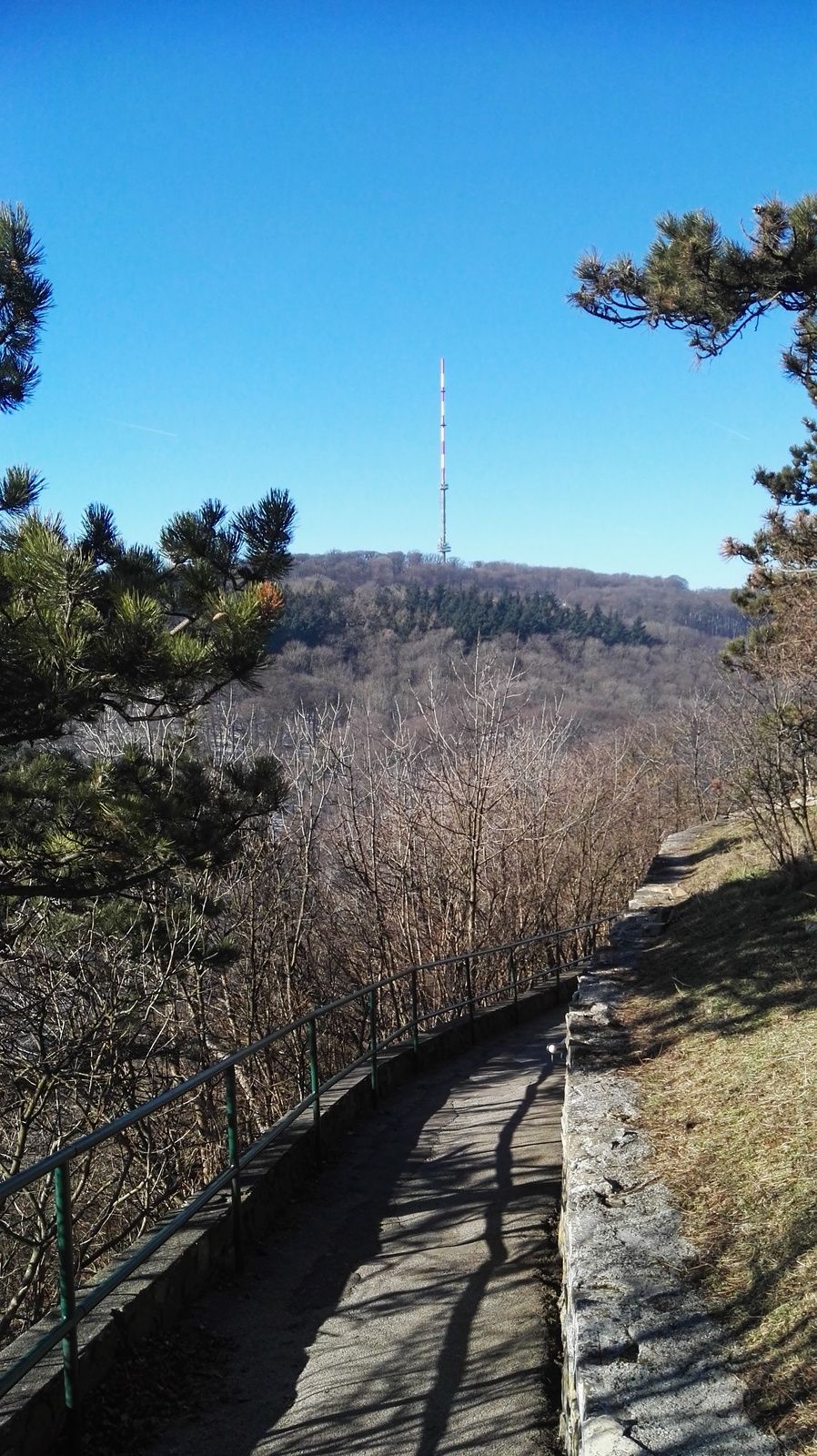
NussdorfViena (542 m)Wien Nußdorf (164 m)0,1 kmSchiffsanlegestelle0,6 kmKahlenbergerdorf2,1 kmSt. Leopold3,5 kmLeopoldsberg (425 m)3,7 kmHeimkehrer-Gedächtnismal3,7 kmJosefinenhütte4,7 kmSt. Josef5,4 kmJosefsdorf5,4 kmKahlenberg (484 m)5,7 kmHandleinsberg (495 m)7,3 kmVogelsangberg (516 m)7,7 kmGasthaus zum Agnesbrünnl8,5 kmHermannskogel (544 m)9,5 kmGrüass Di a Gott Wirt11,1 kmUpper Sievering13,5 km
- La mejor temporada
-
enefebmarabrmayjunjulagosepoctnovdic
- Punto álgido
- Hermannskogel (542 m)
- Punto final
-
39A bus stop "Sievering".
Take the bus until the final station at "Bhf. Heiligenstadt", then change to the U4, which connects to downtown Vienna. - Descanso/Avituallamiento
-
Several inns/restaurants on the way.
- Material cartográfico
-
I recommend Freytag&Berndt 1:25.000 sectors NM 33-12-20, West, Wien and NM 33-12-19, Ost, Klosterneuburg!
GPS Downloads


Superficie de carretera
Asfalto
Gravilla
Pradera
Bosque
Roca
Expuesto
Más circuitos por las regiones
-
Wienerwald
4219
-
Wien und Umgebung
2481
-
Klosterneuburg
1039