



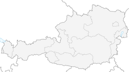


Schneeberg - Nandlgrat
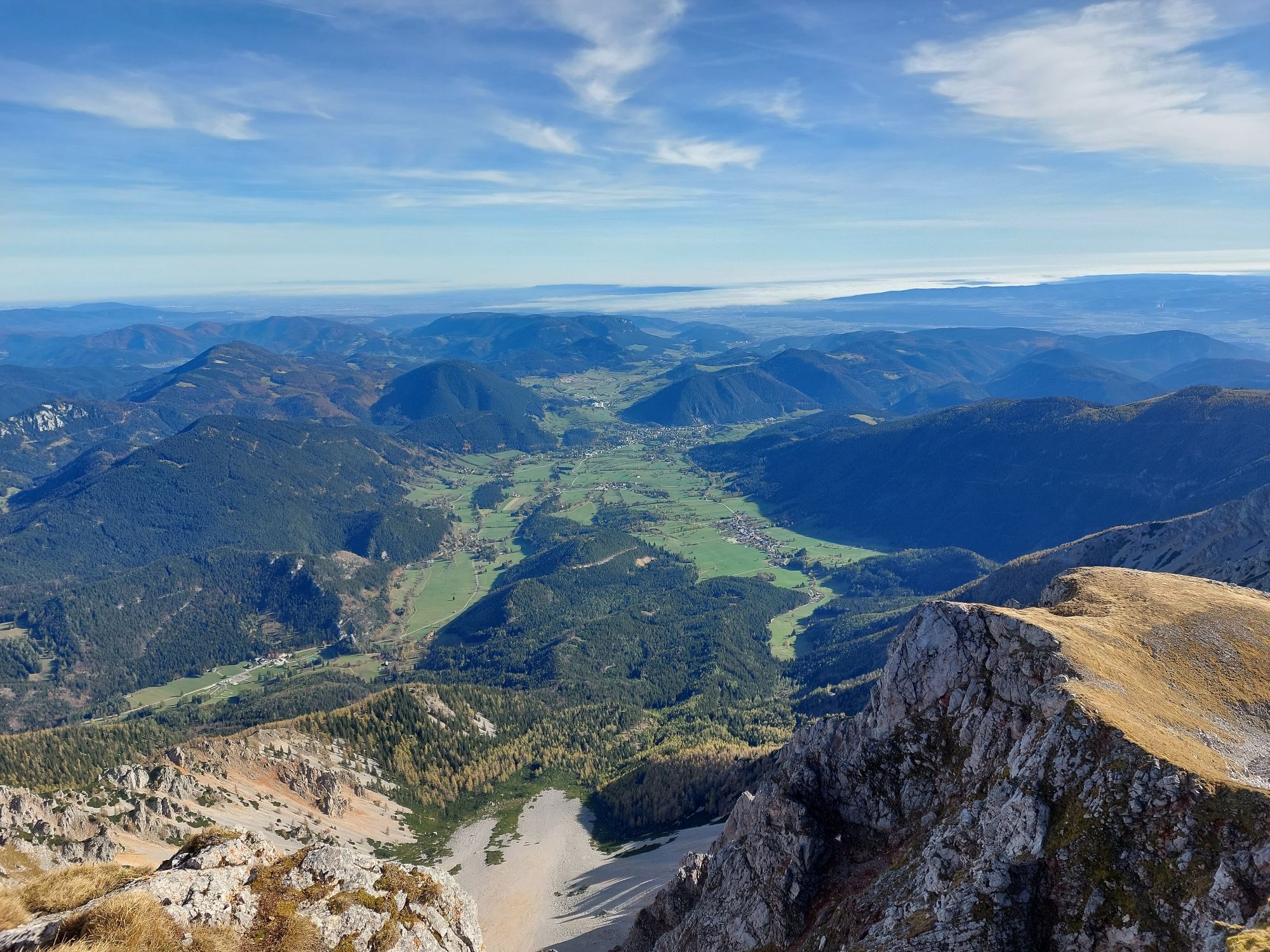
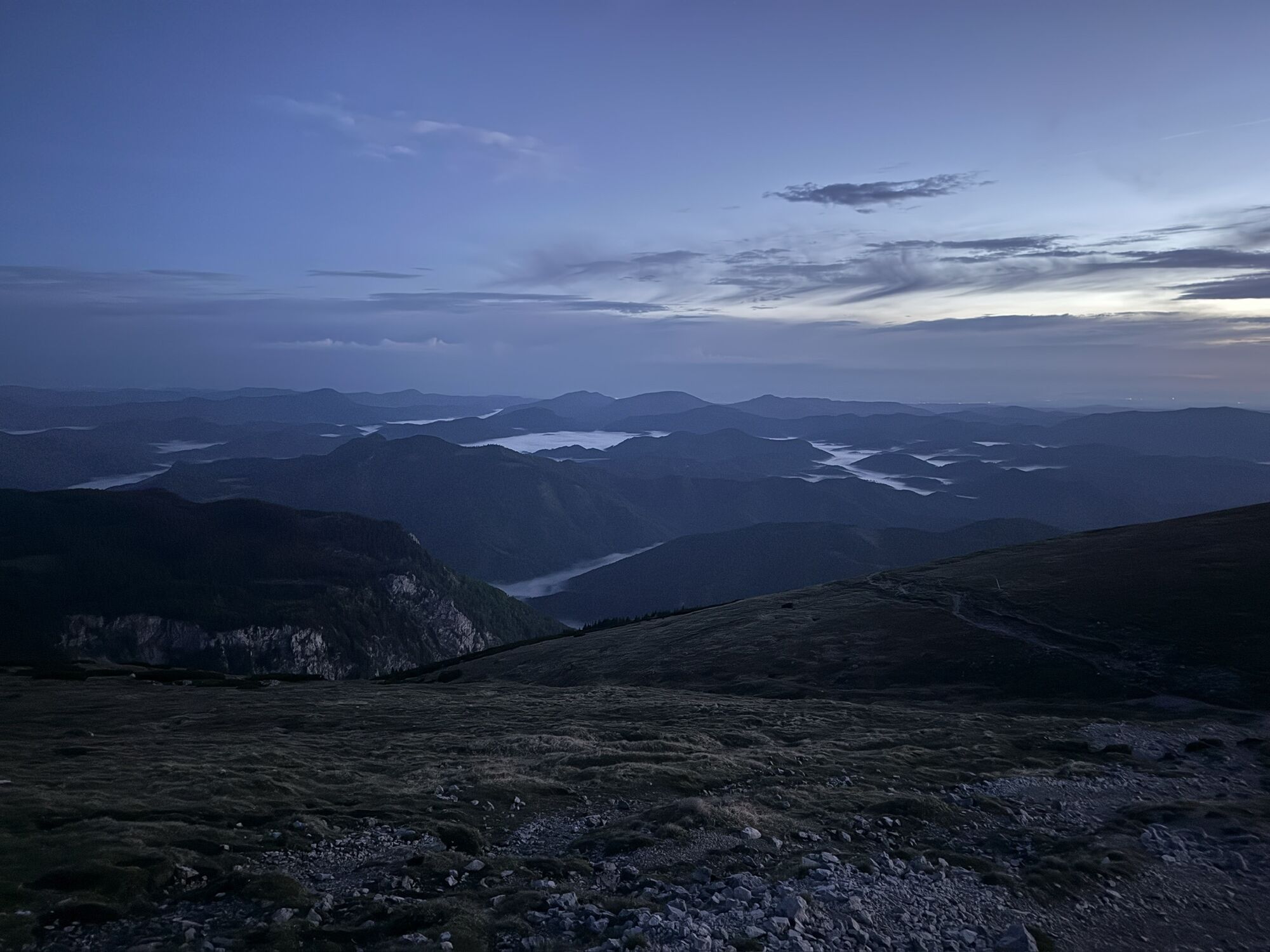
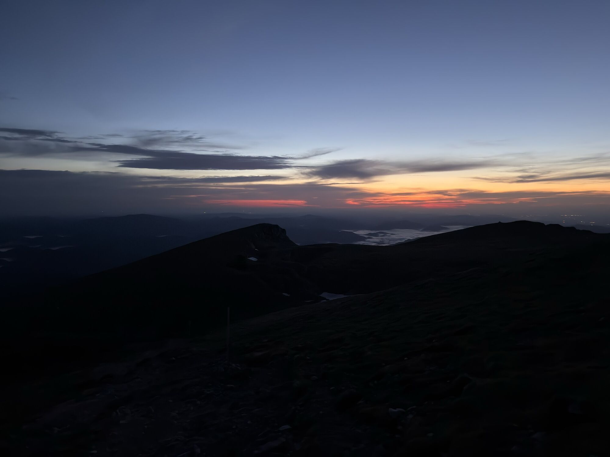
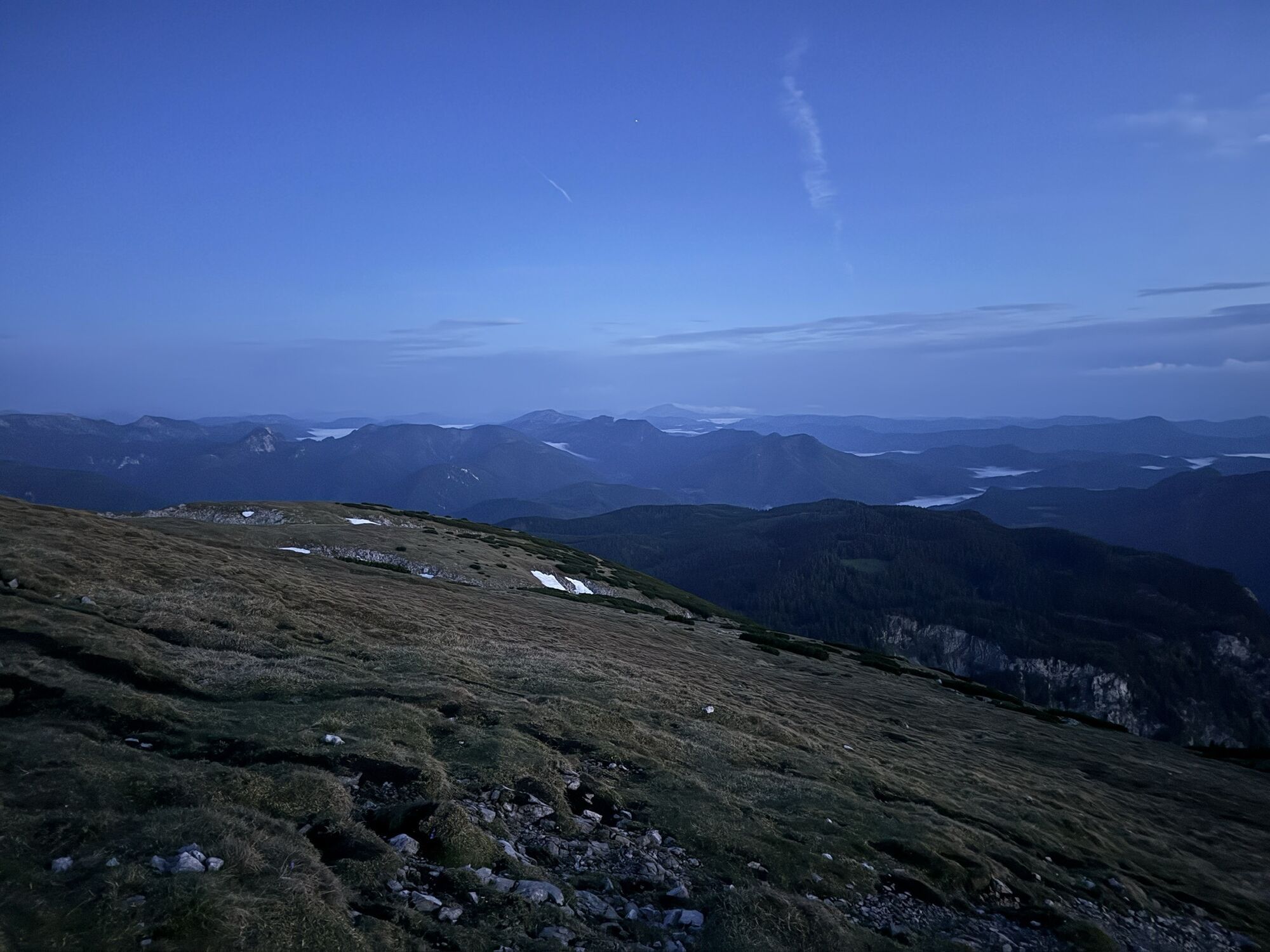
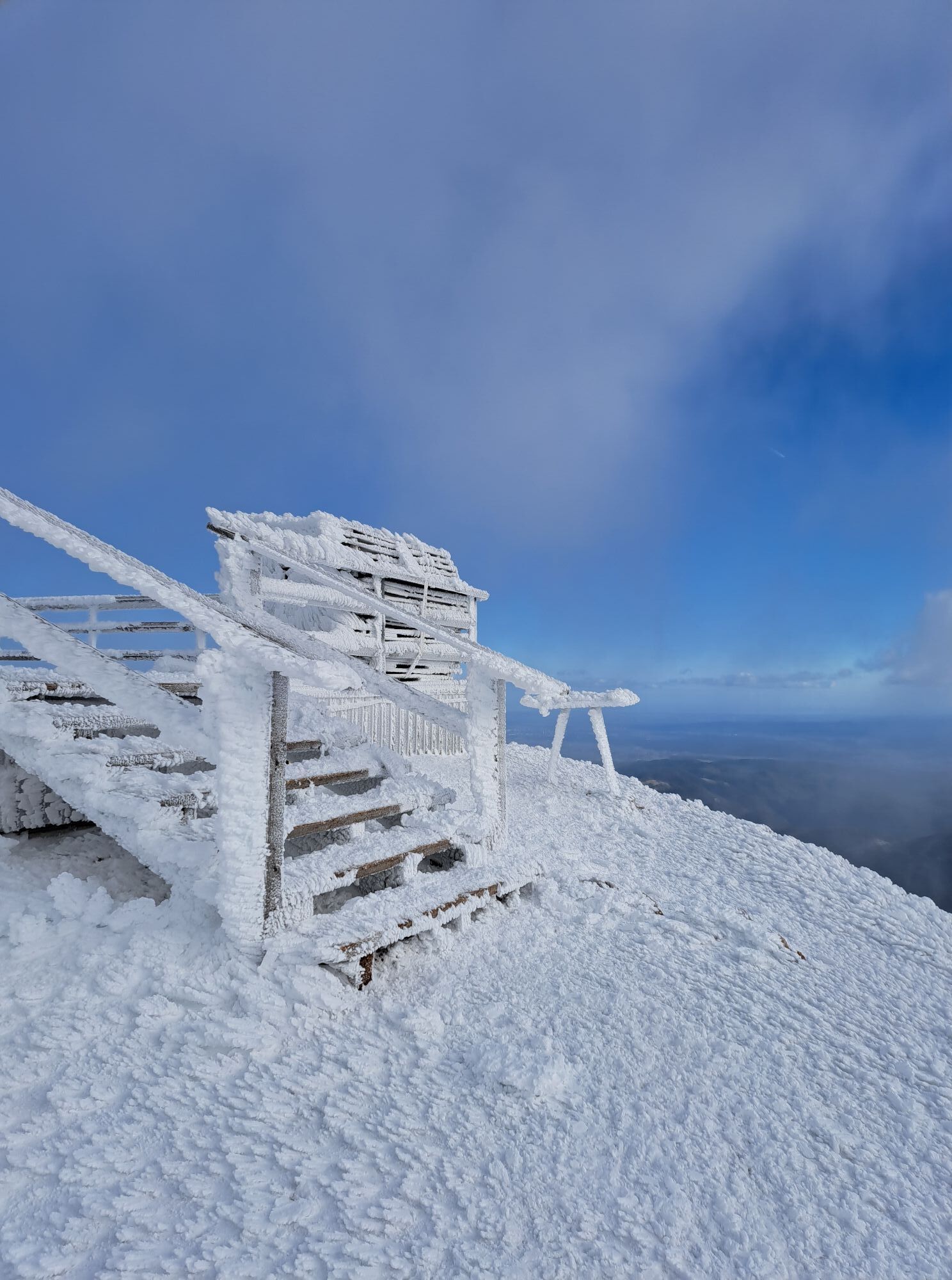
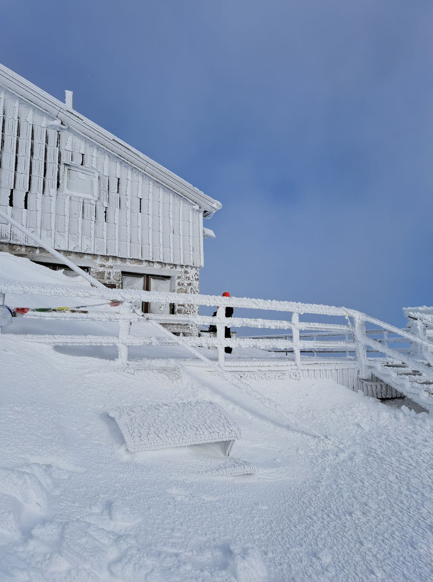
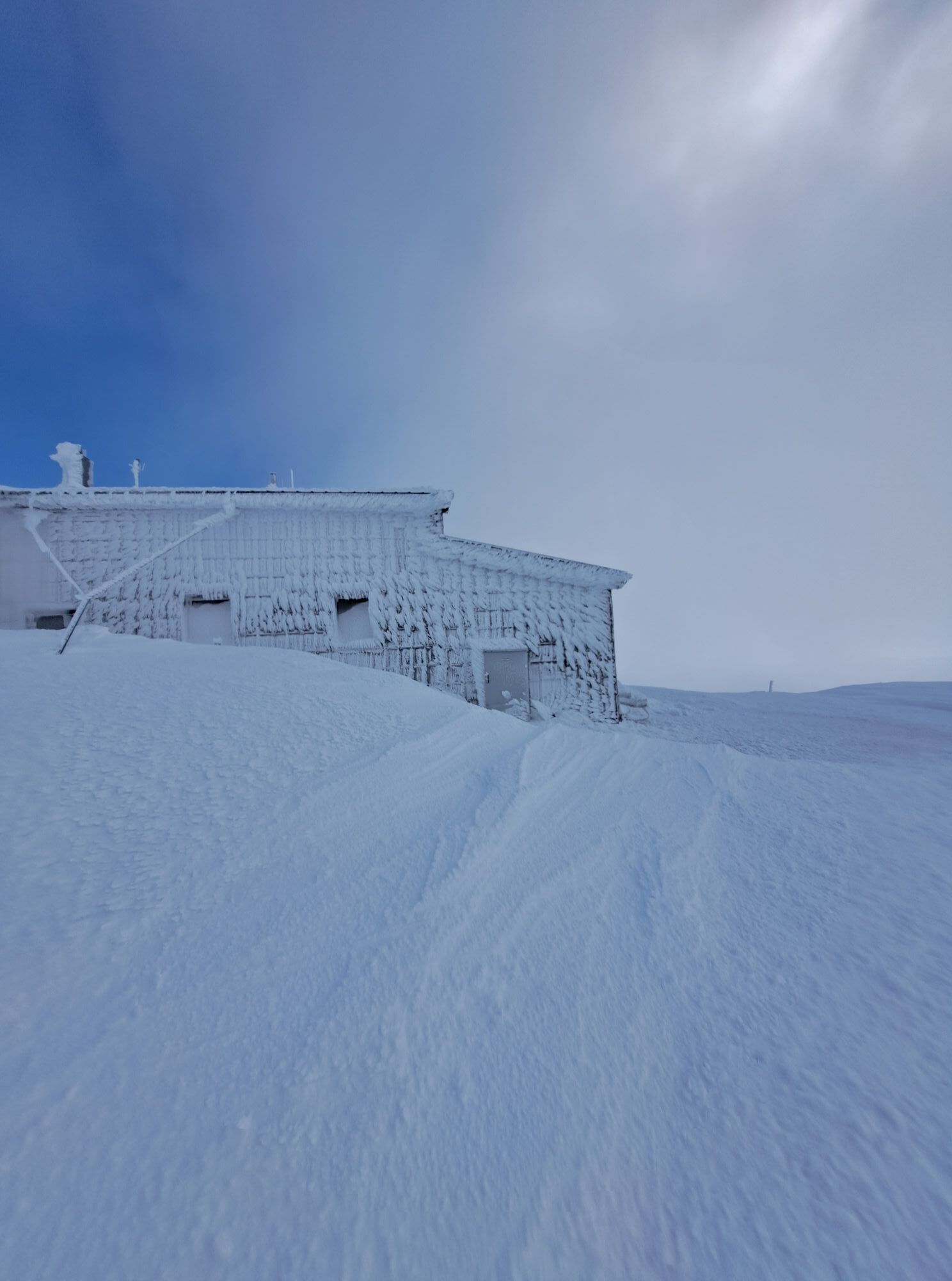
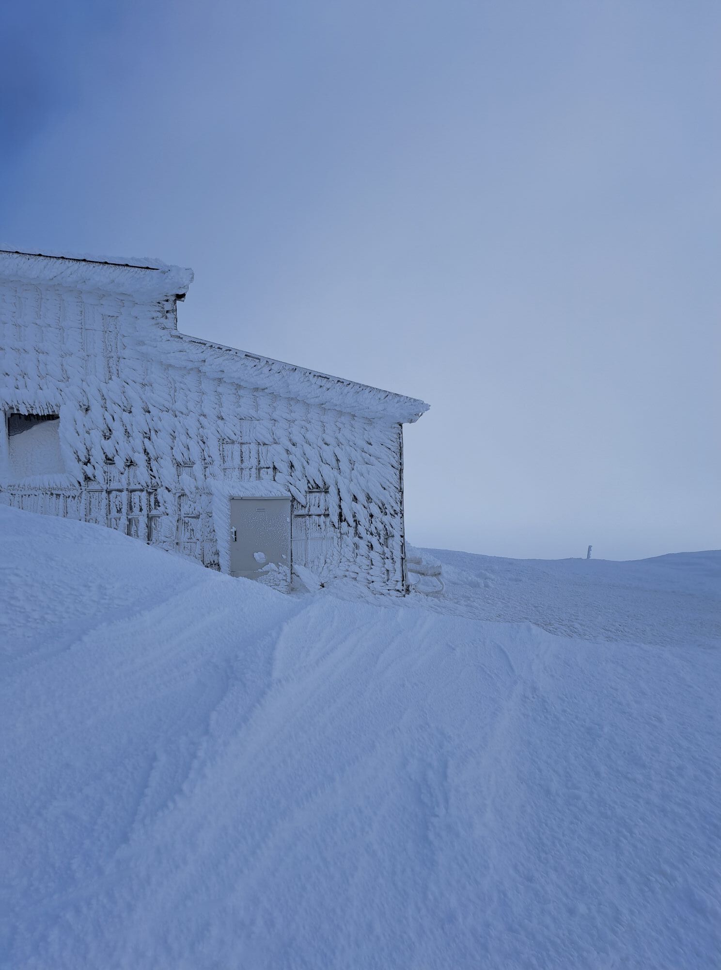
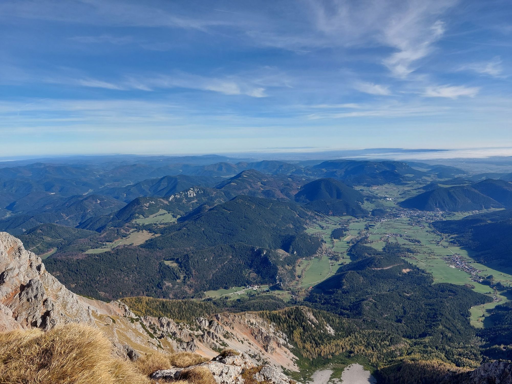
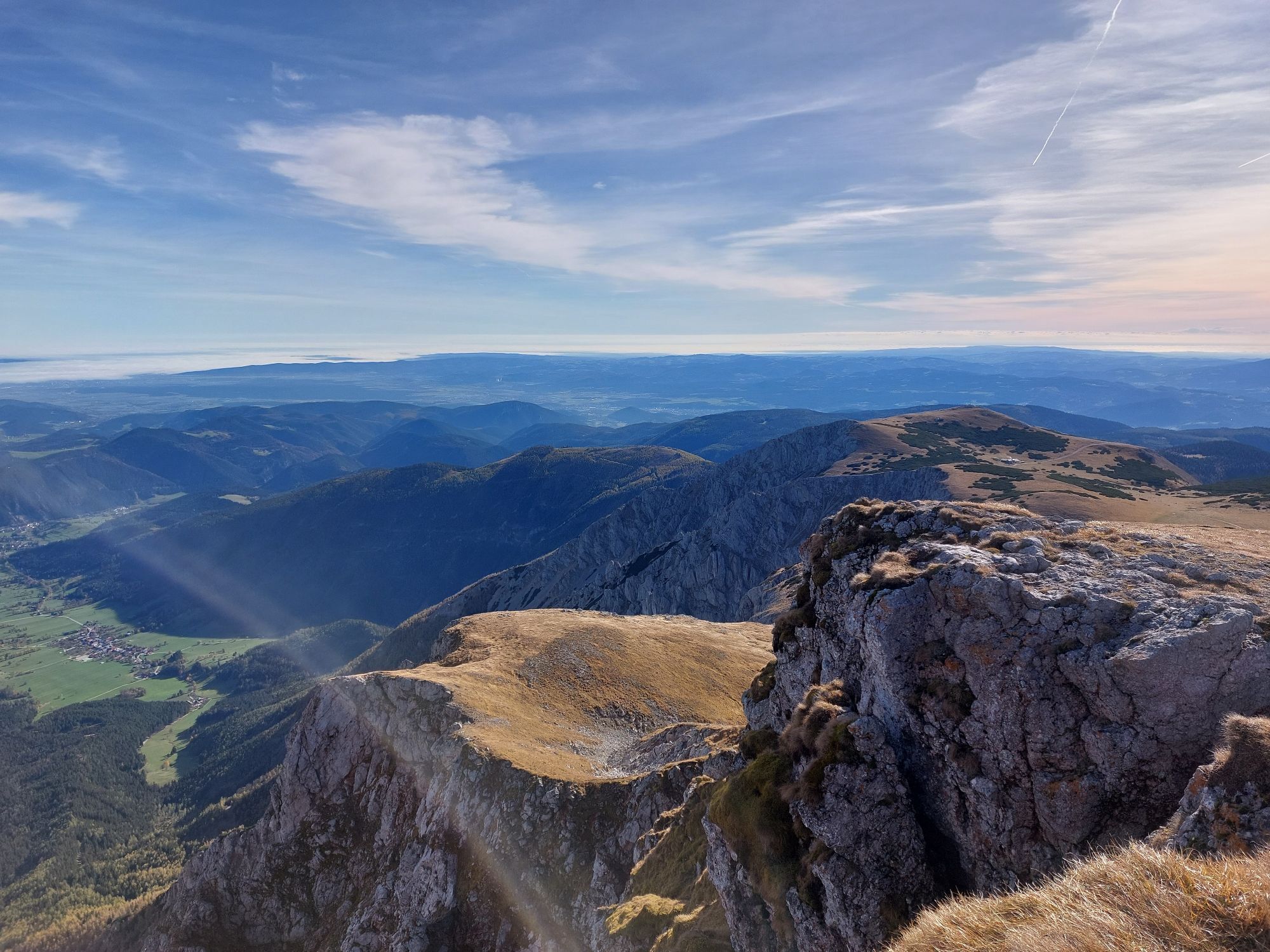
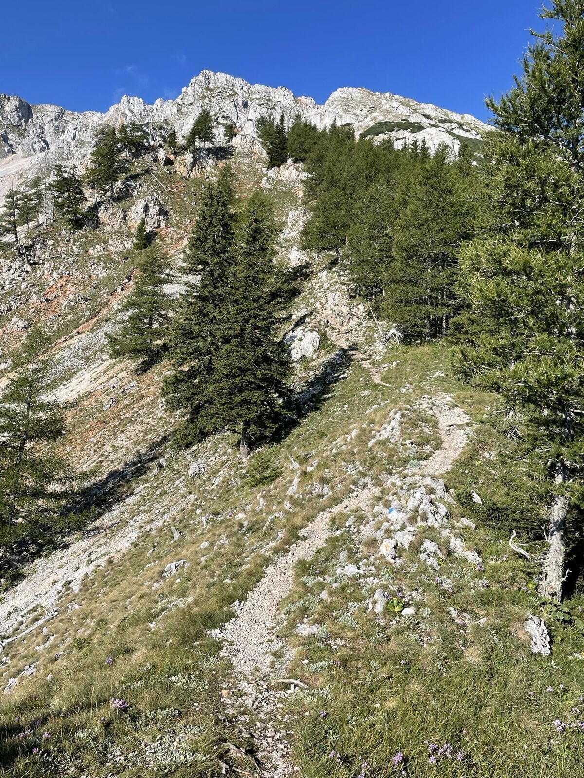
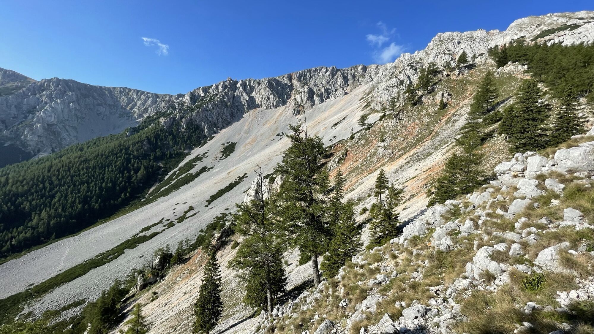
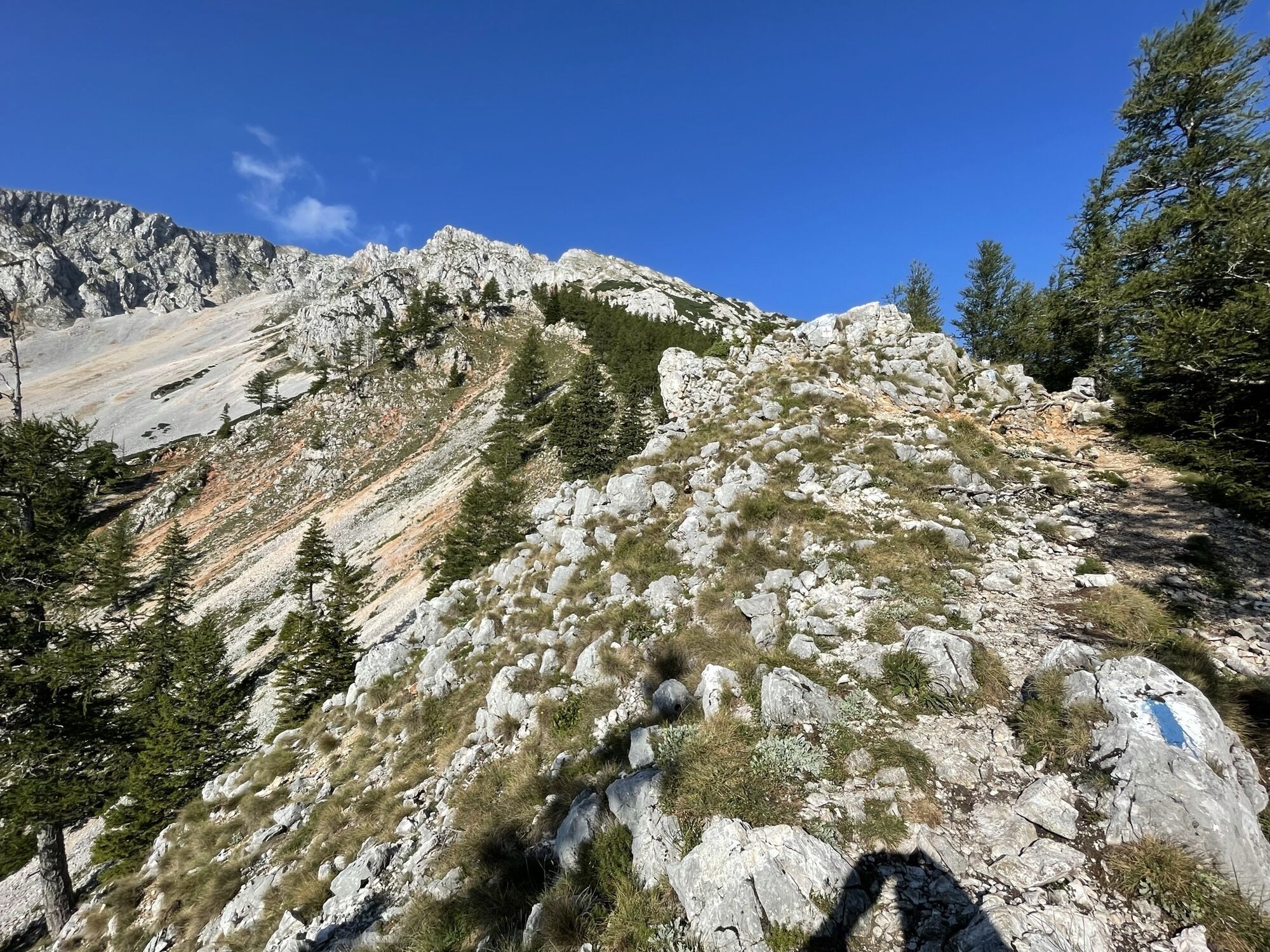
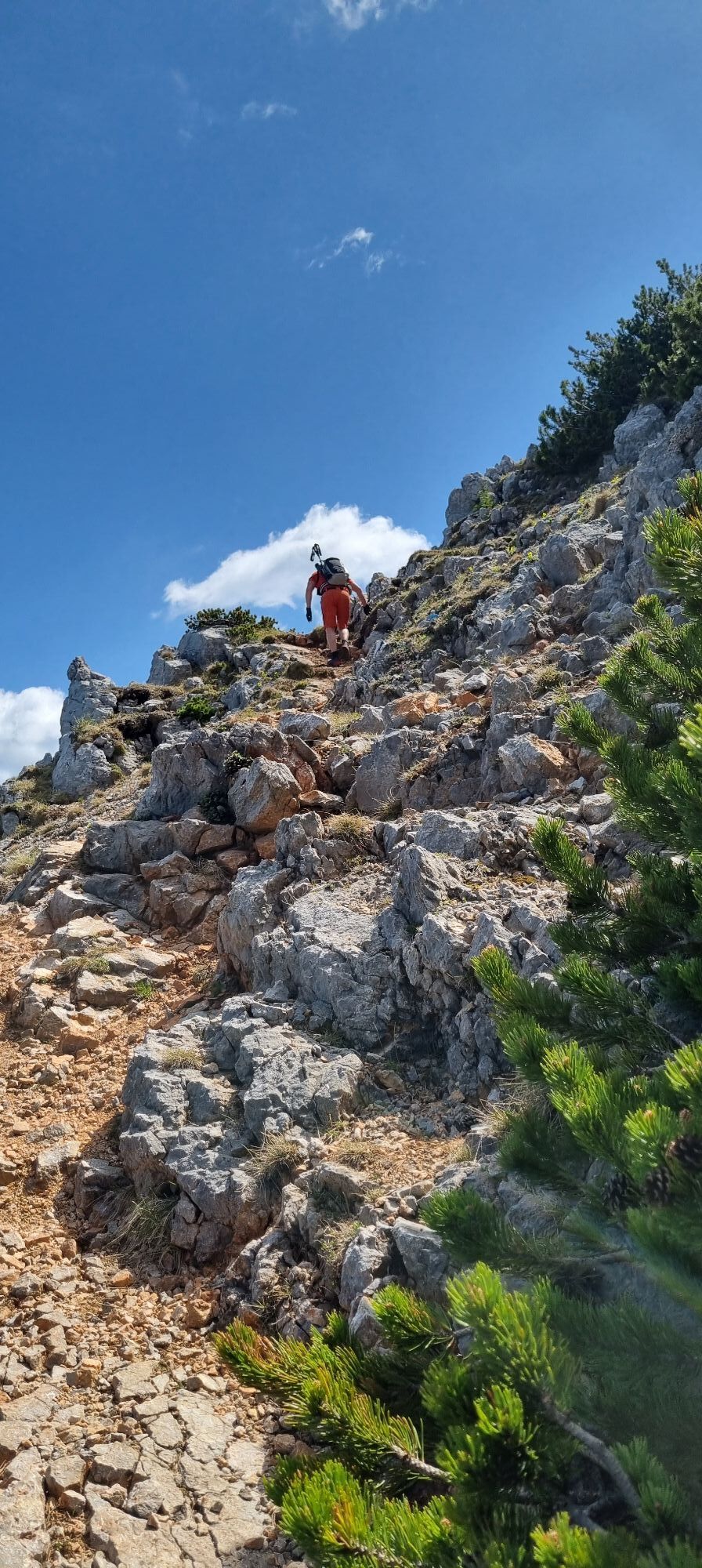
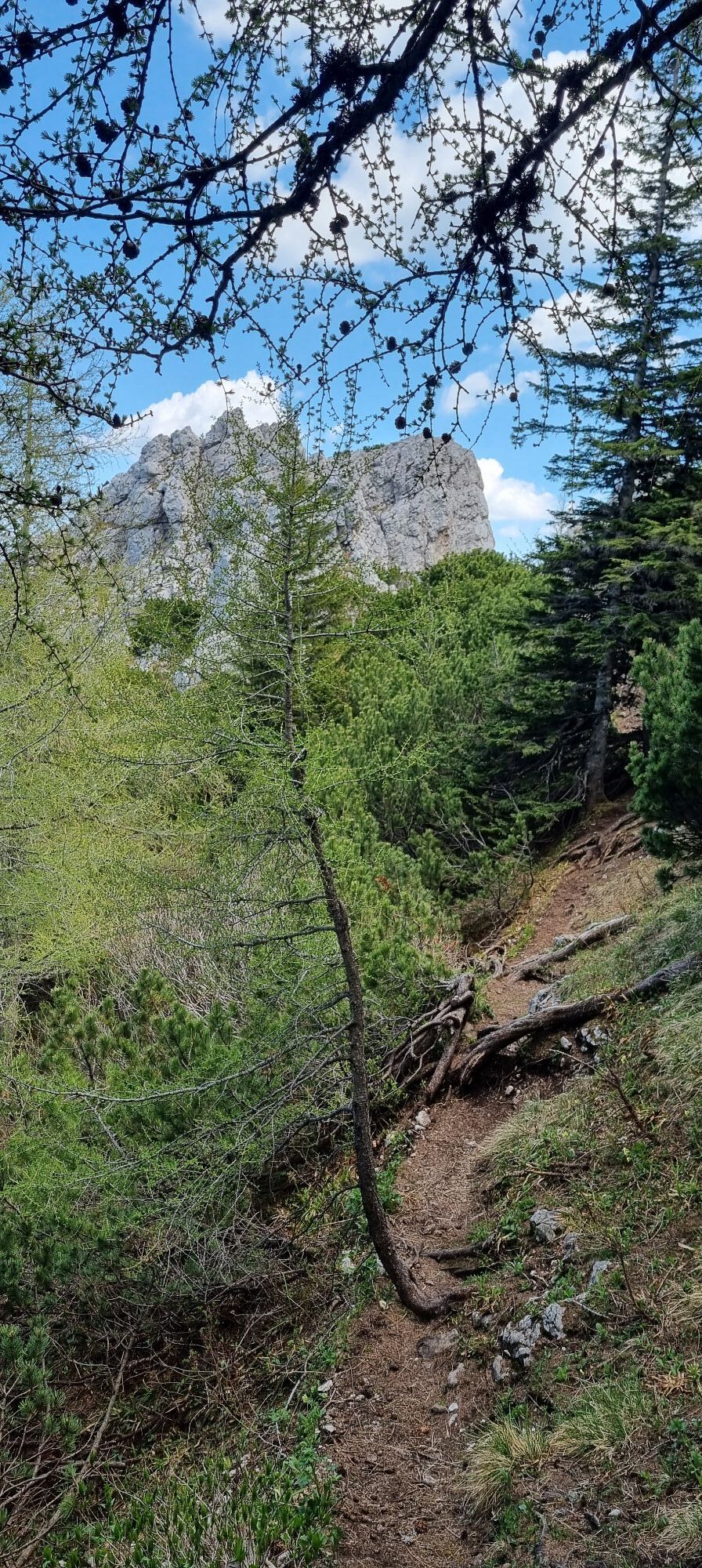
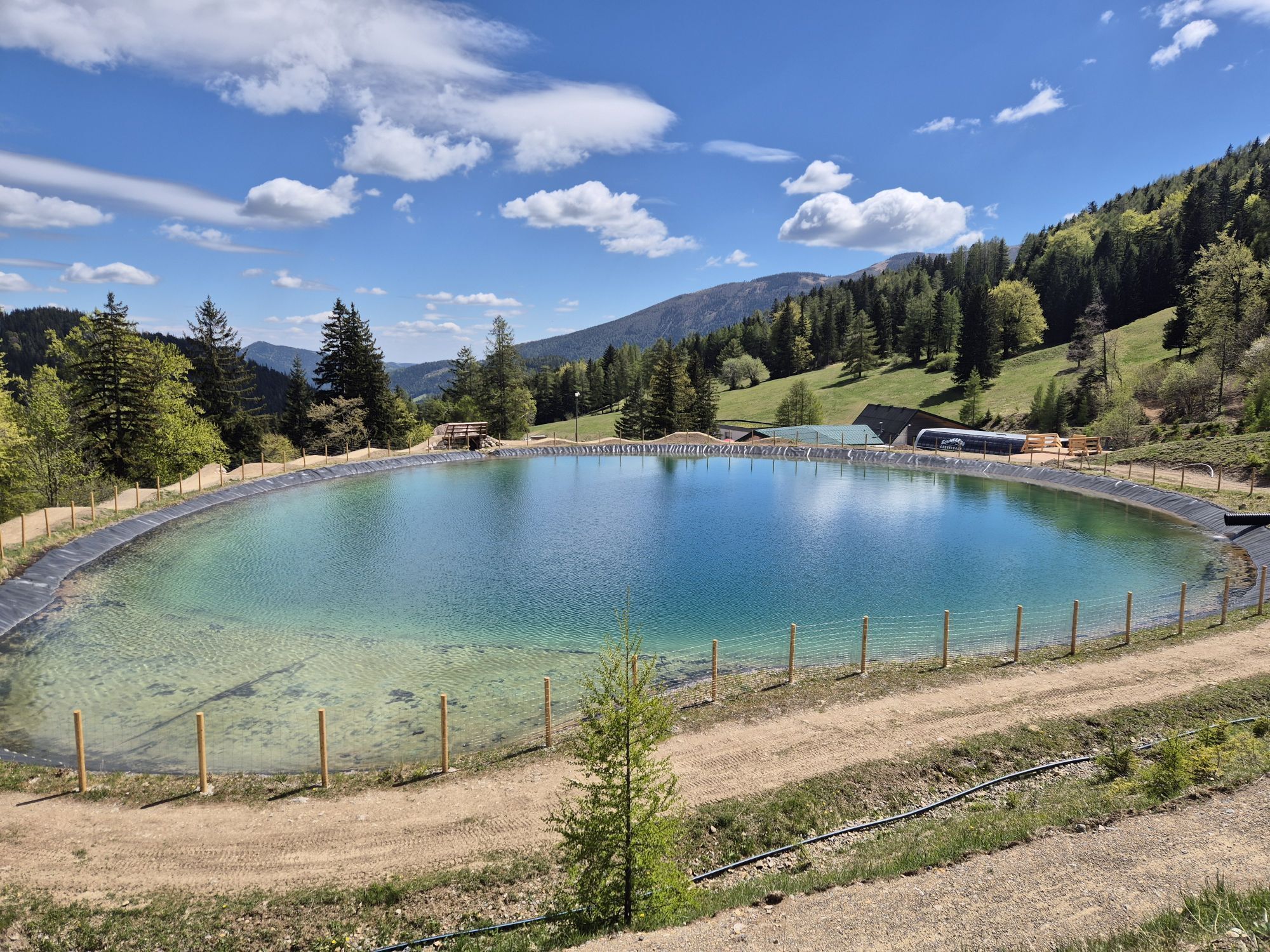
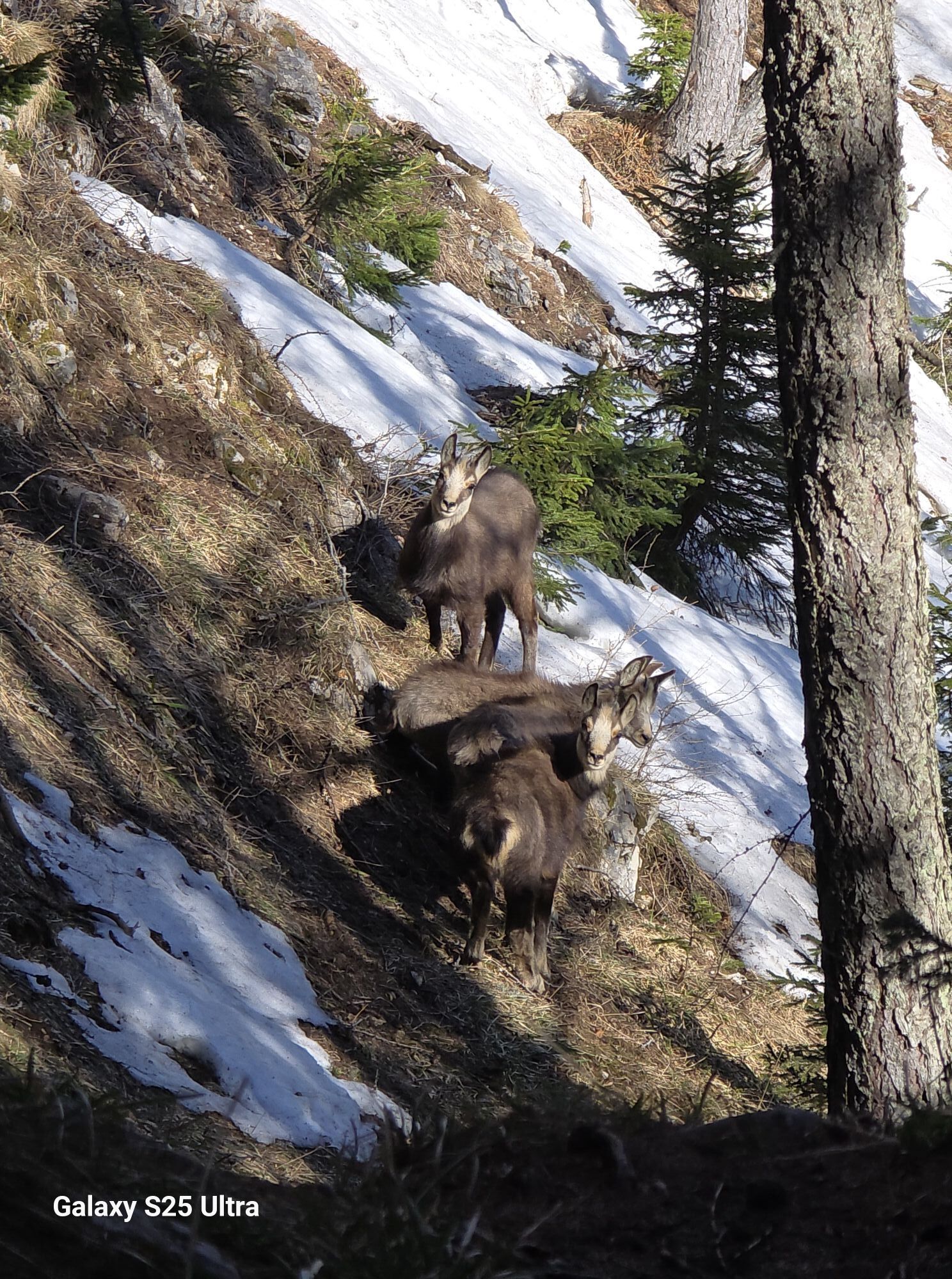
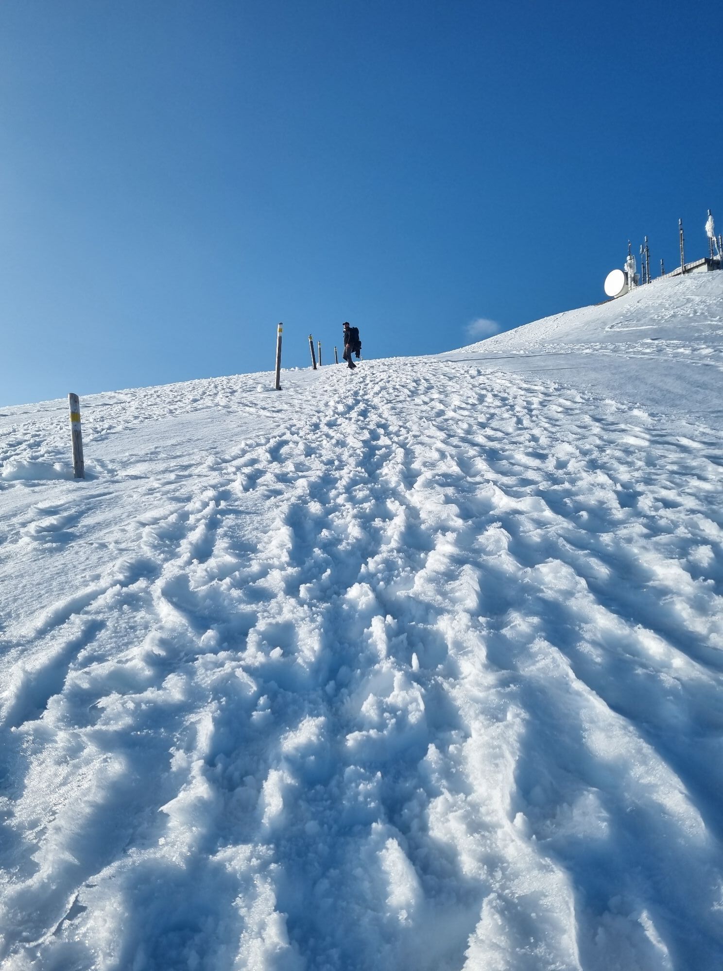
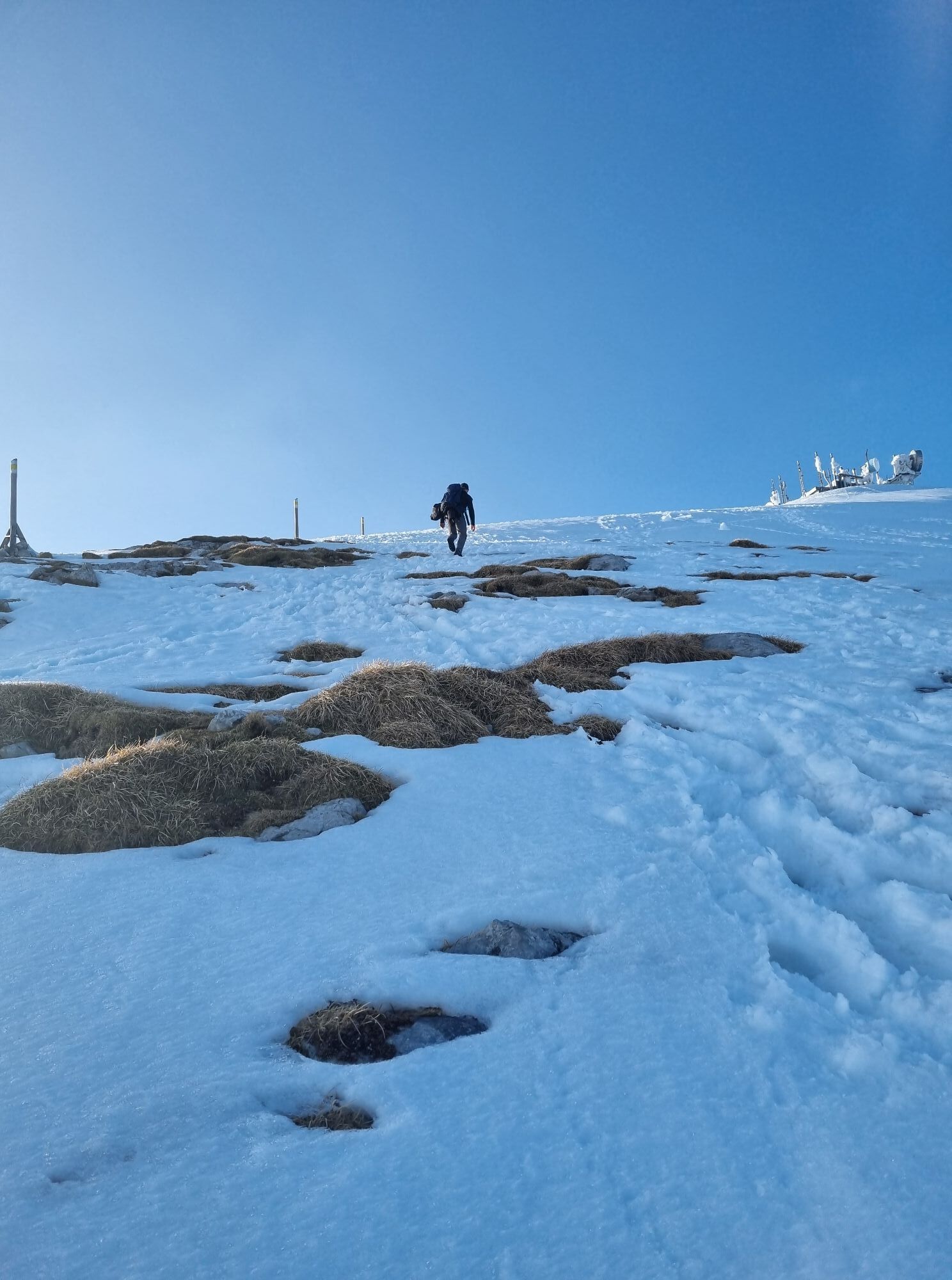
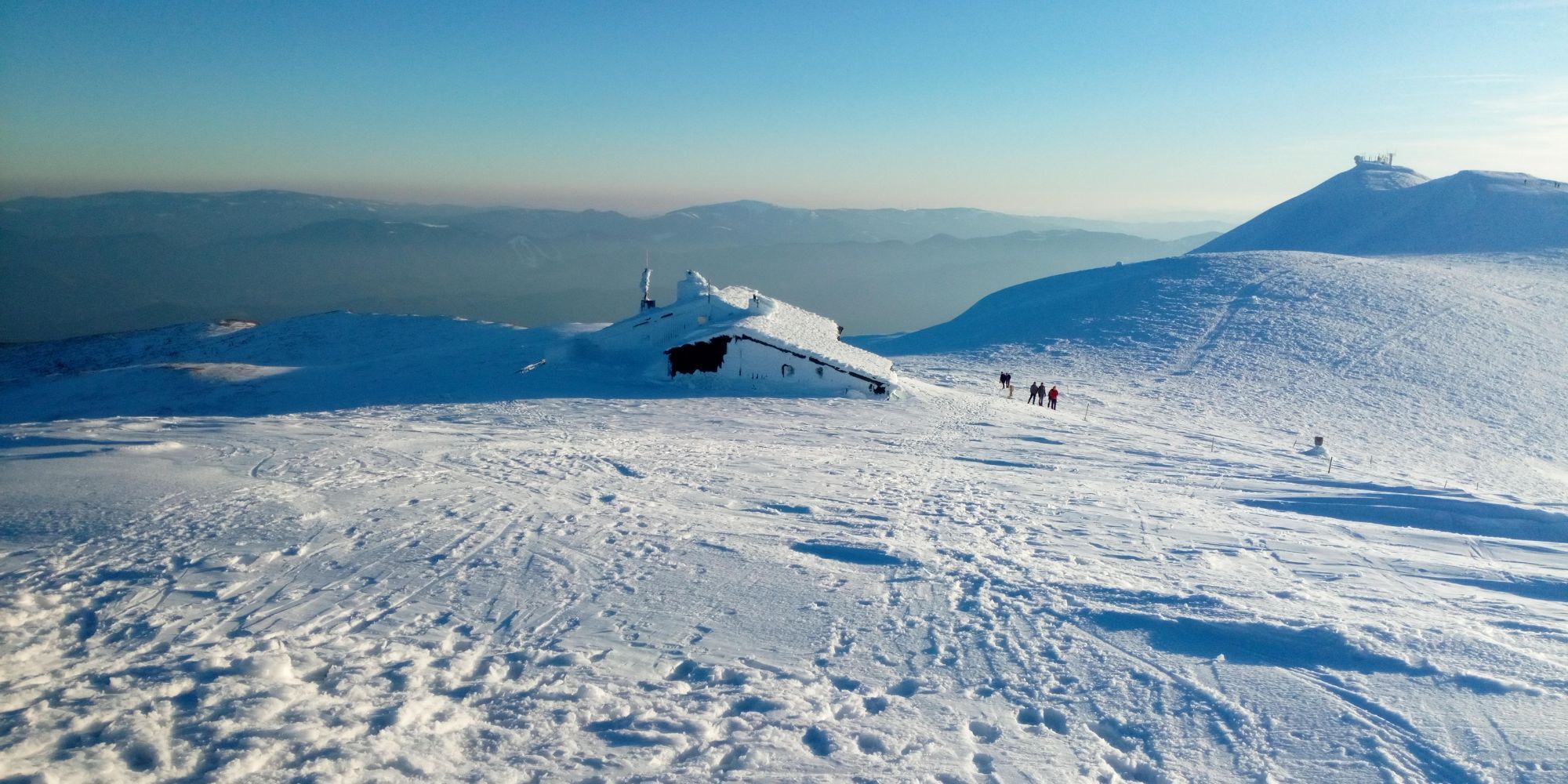
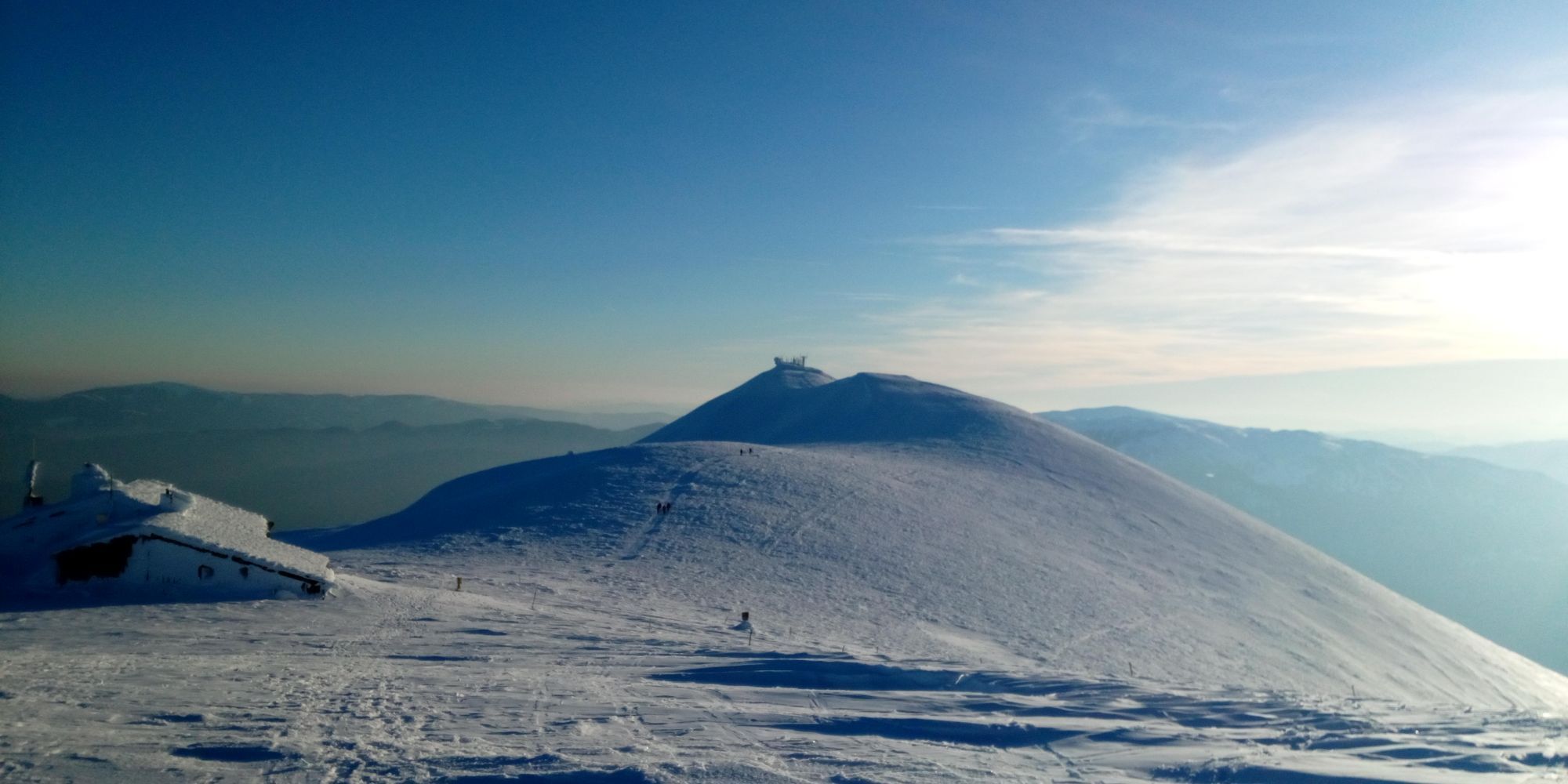
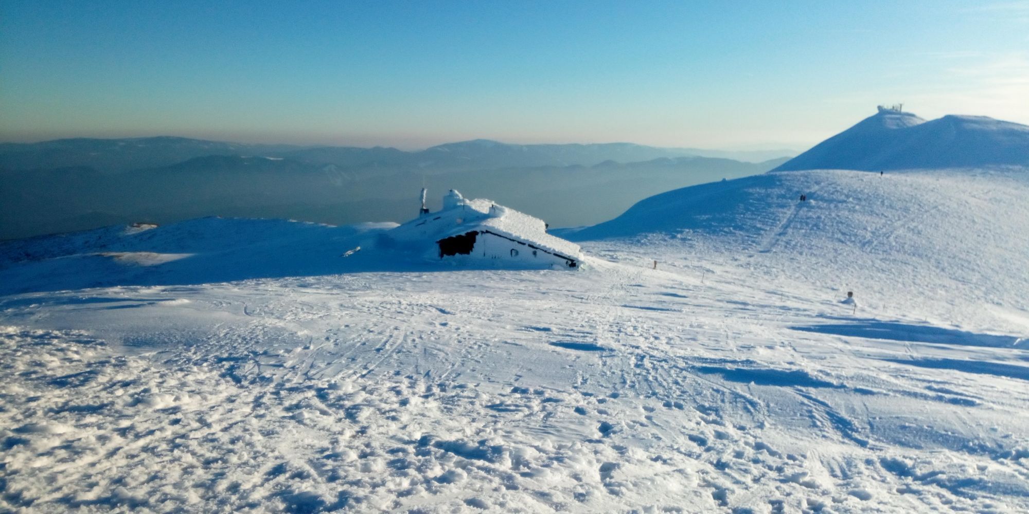
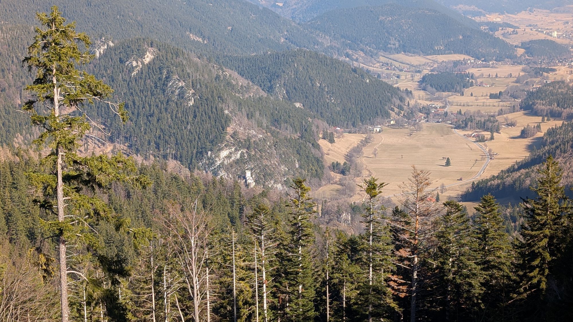
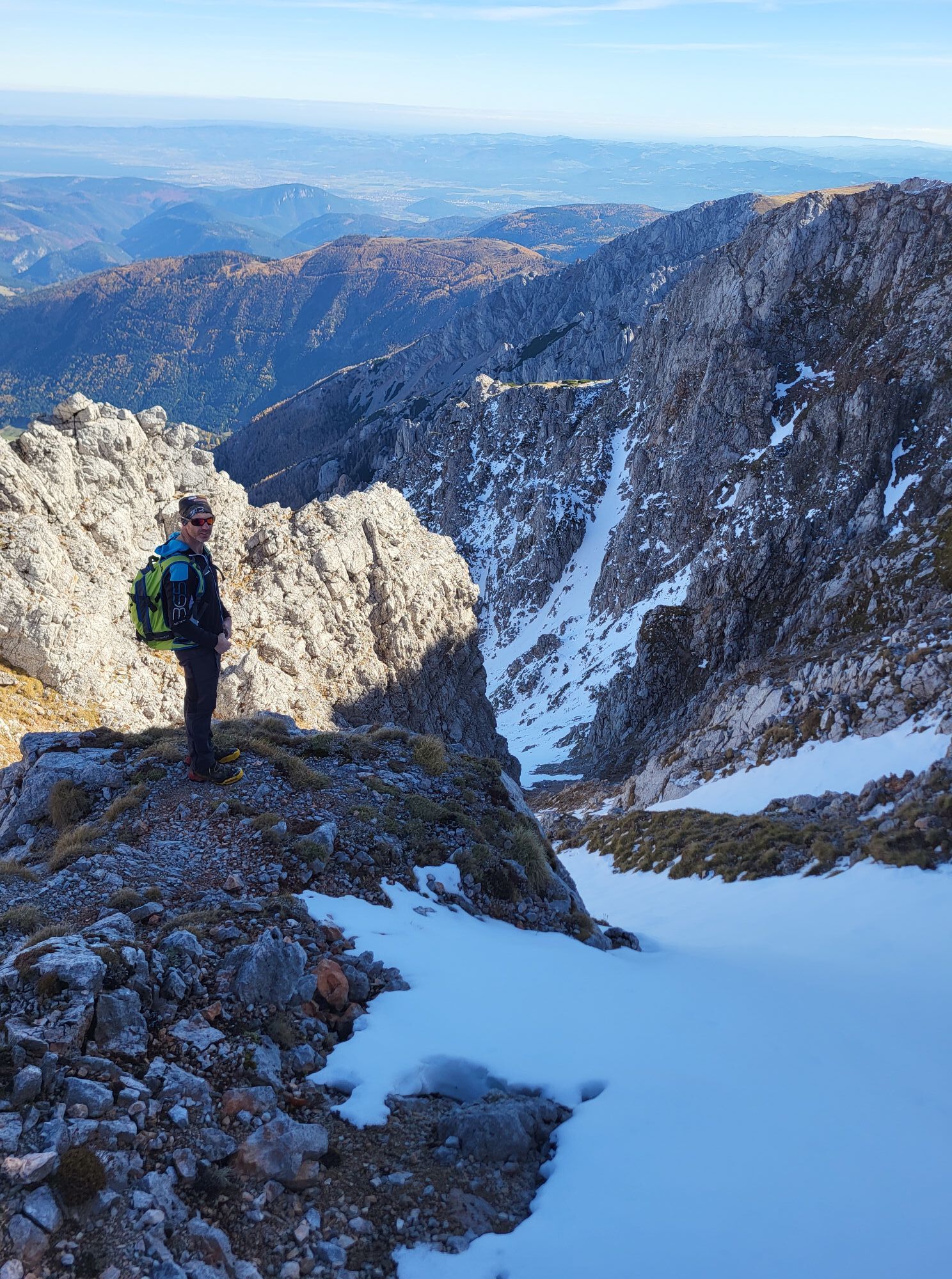
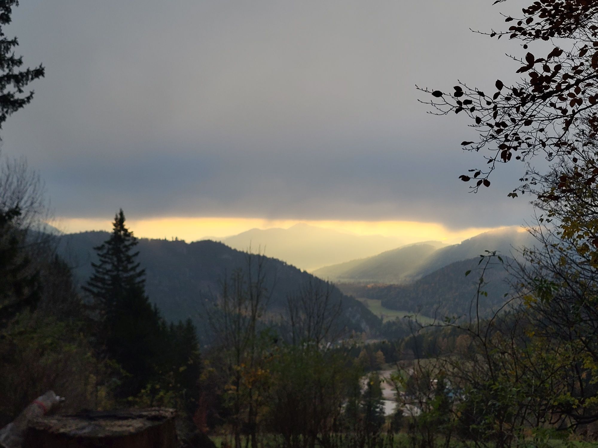

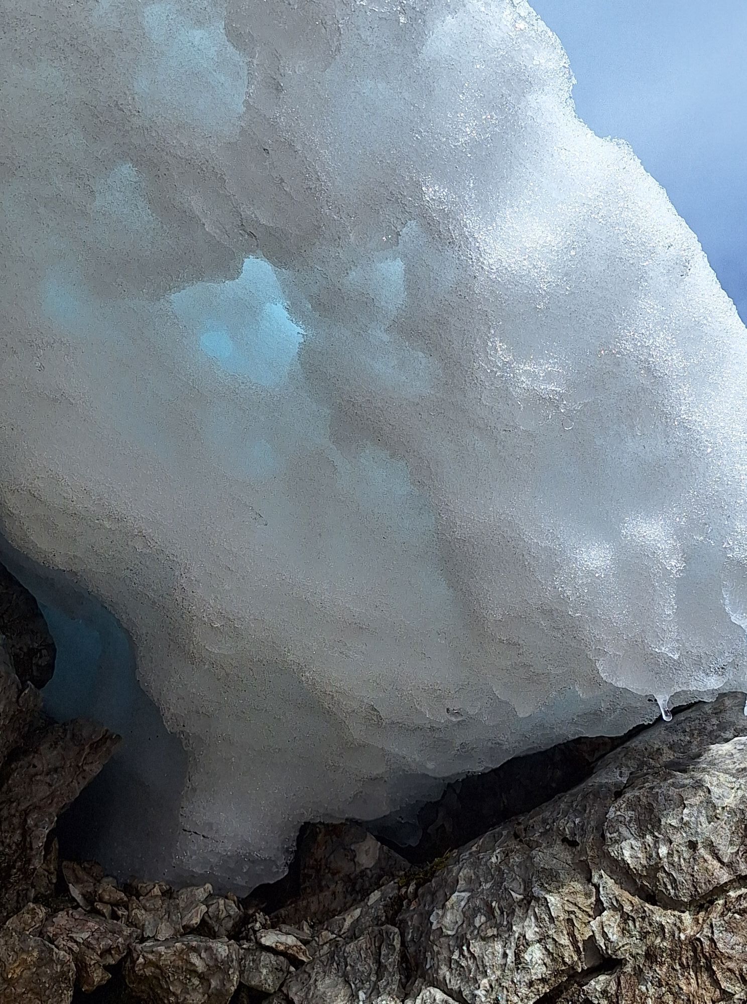
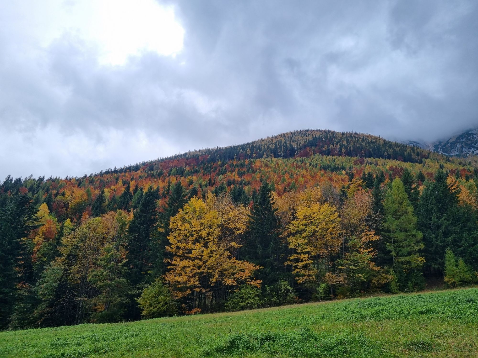
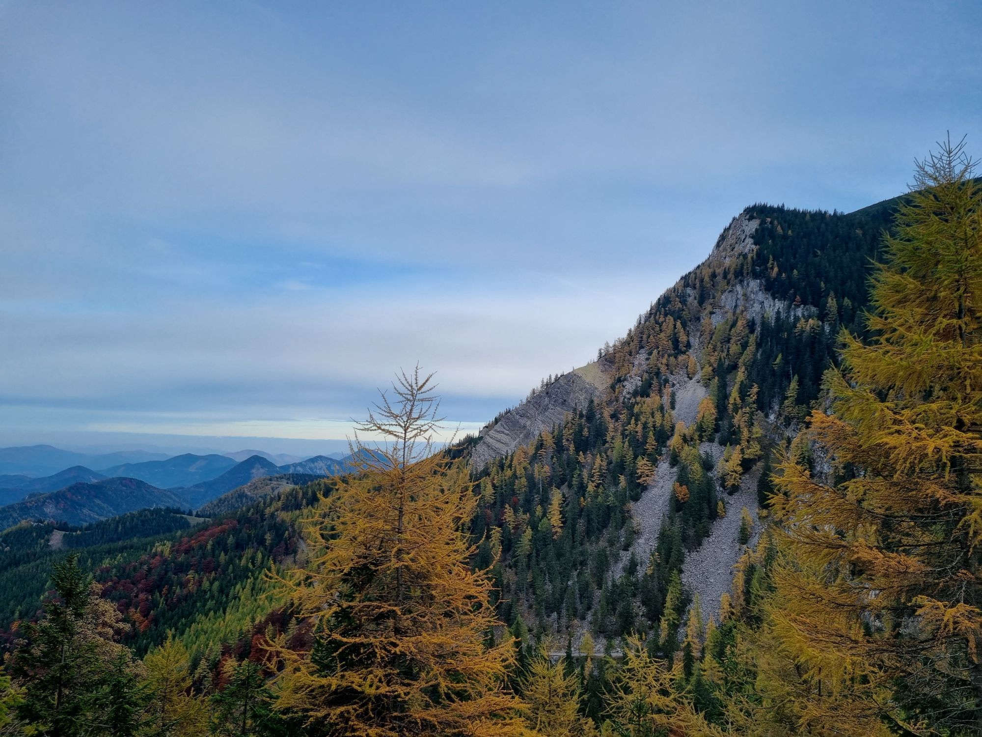
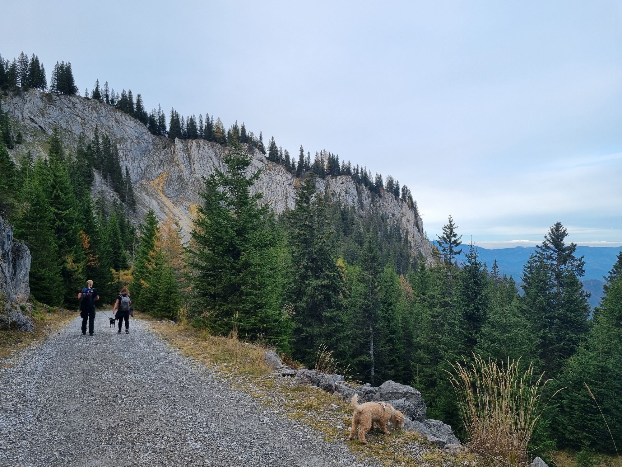
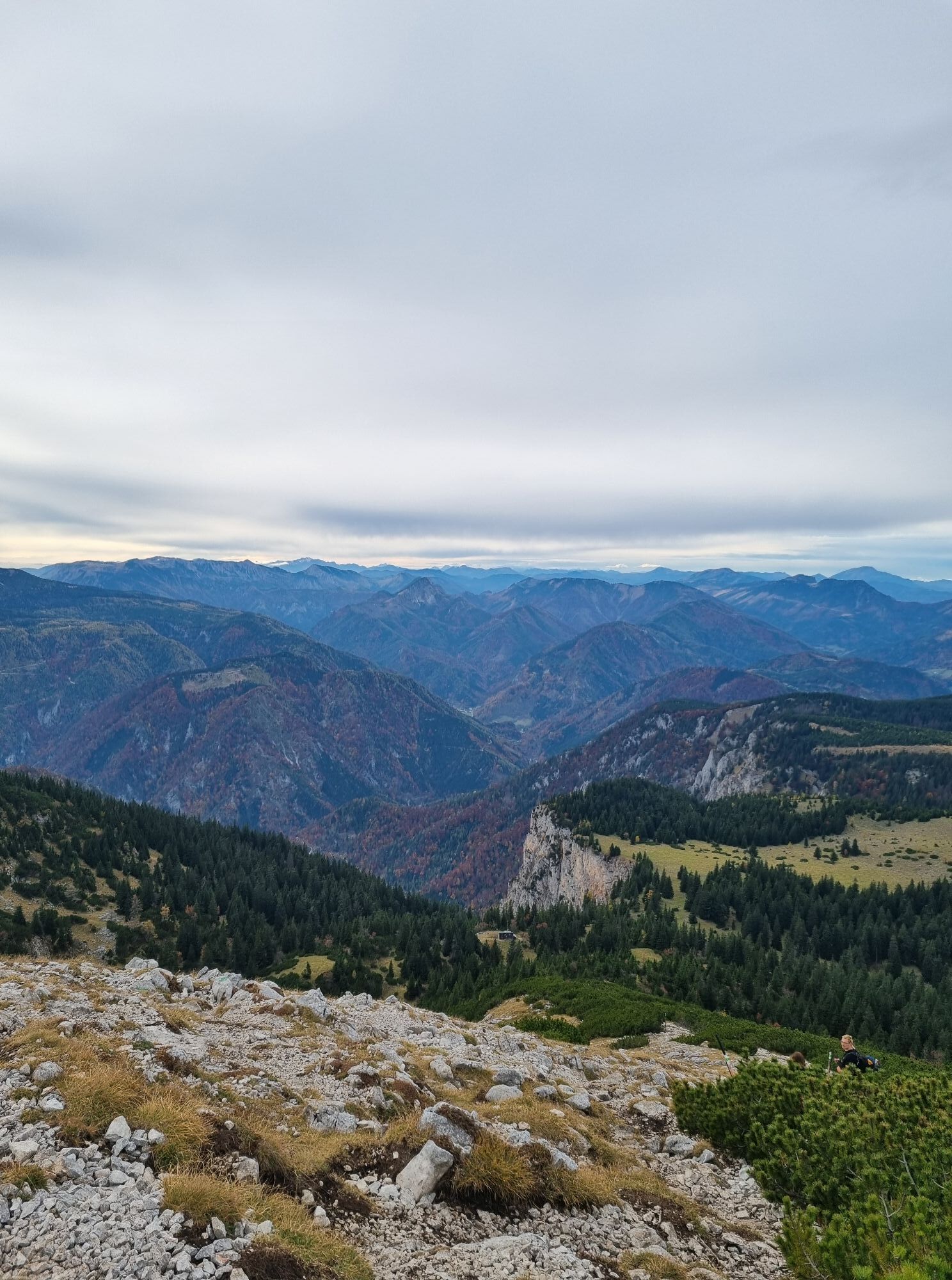
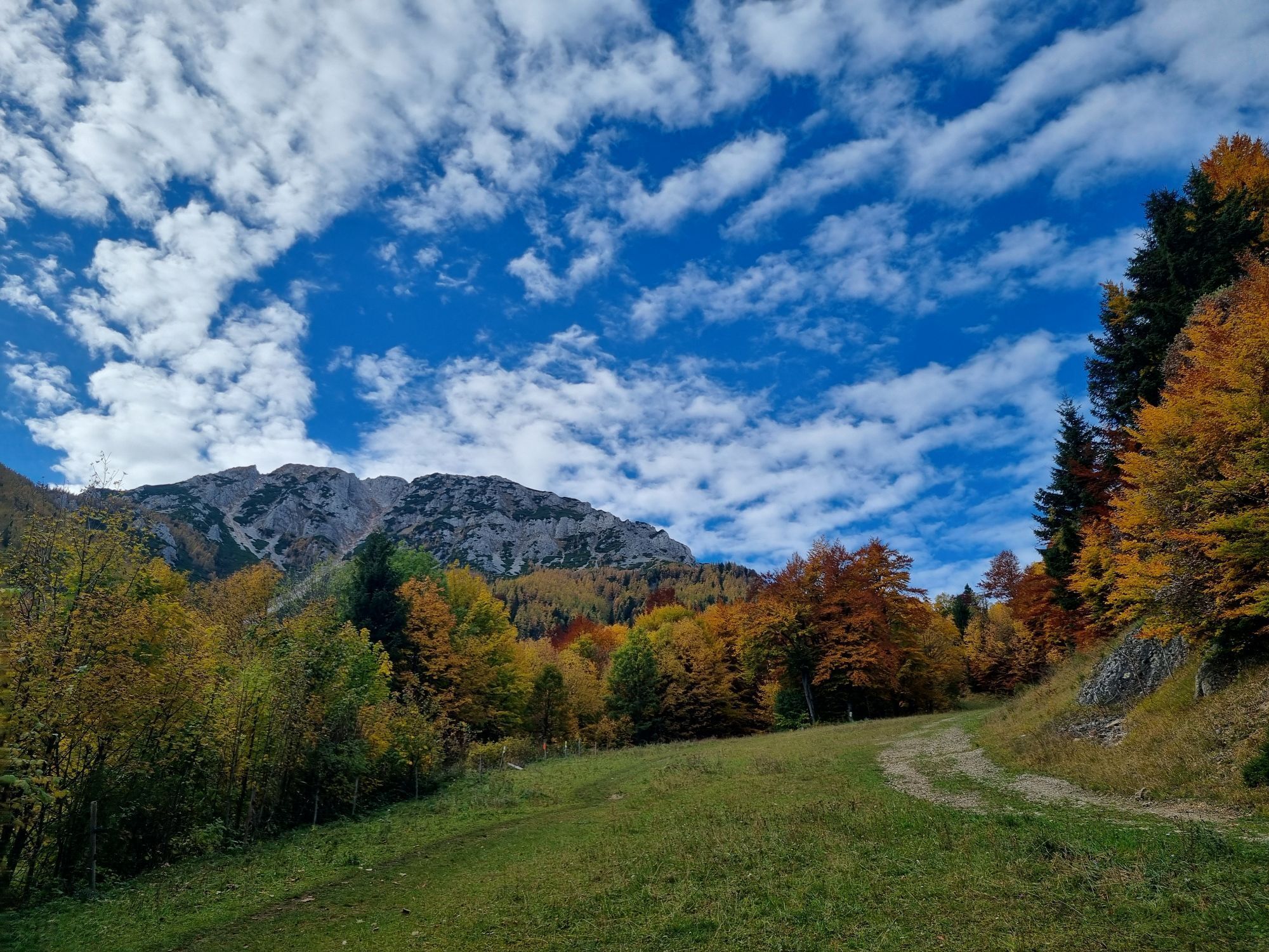
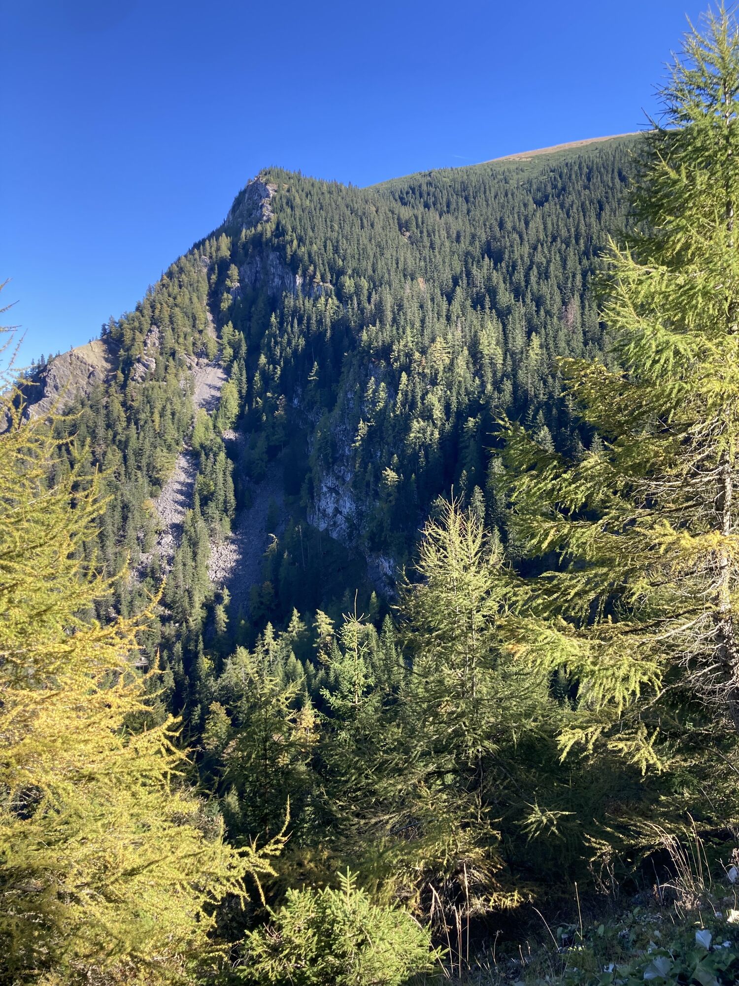
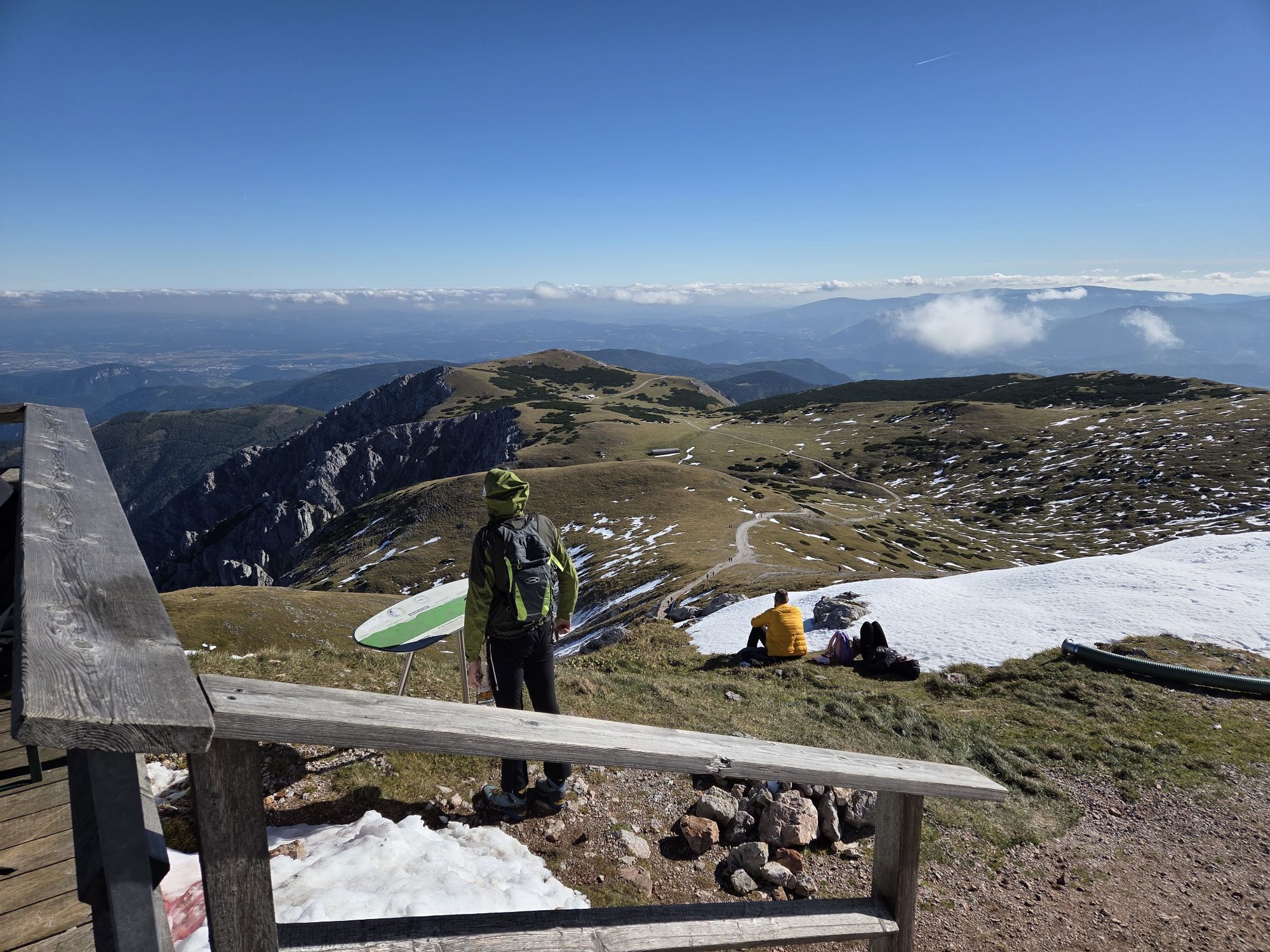
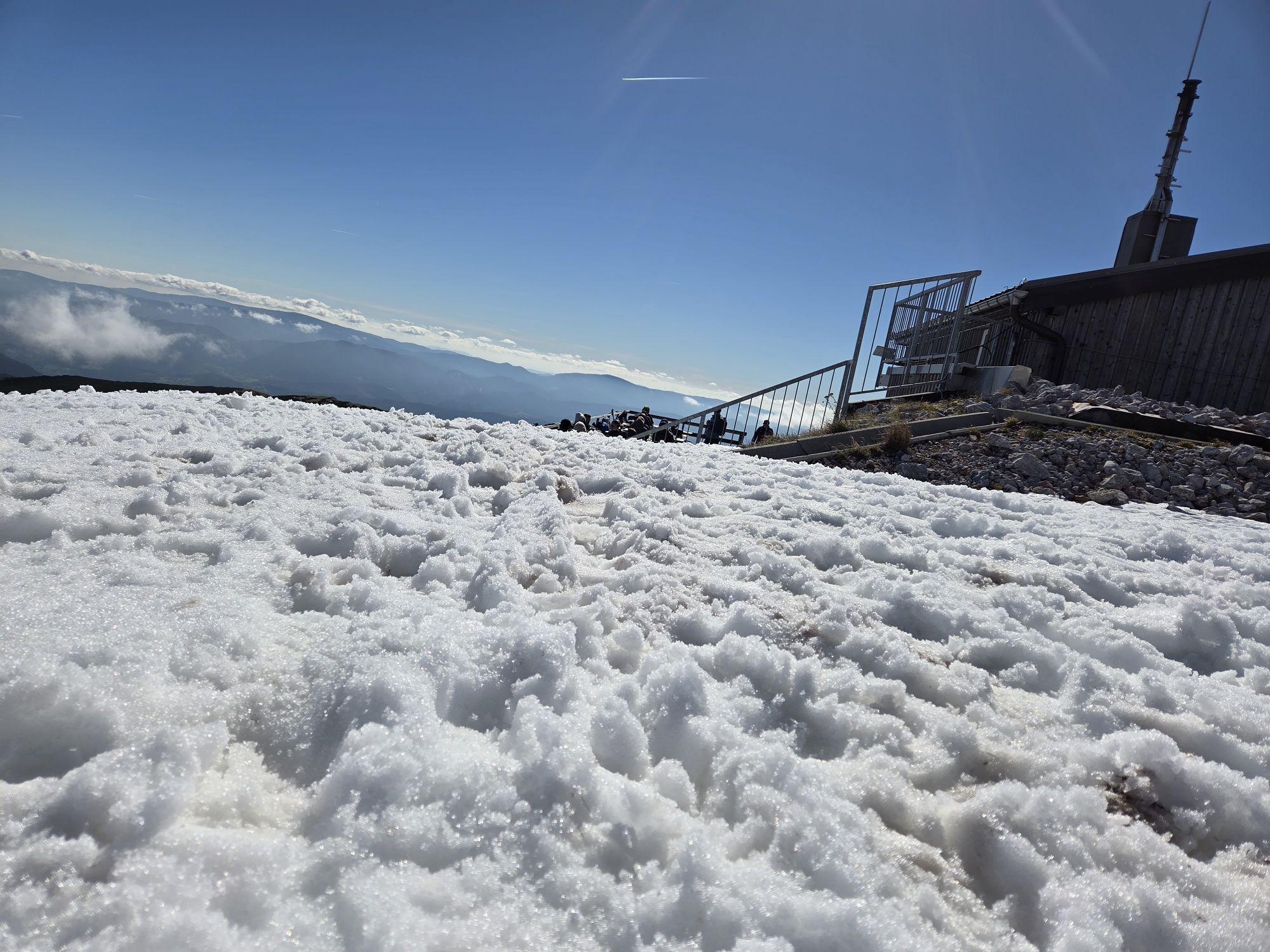
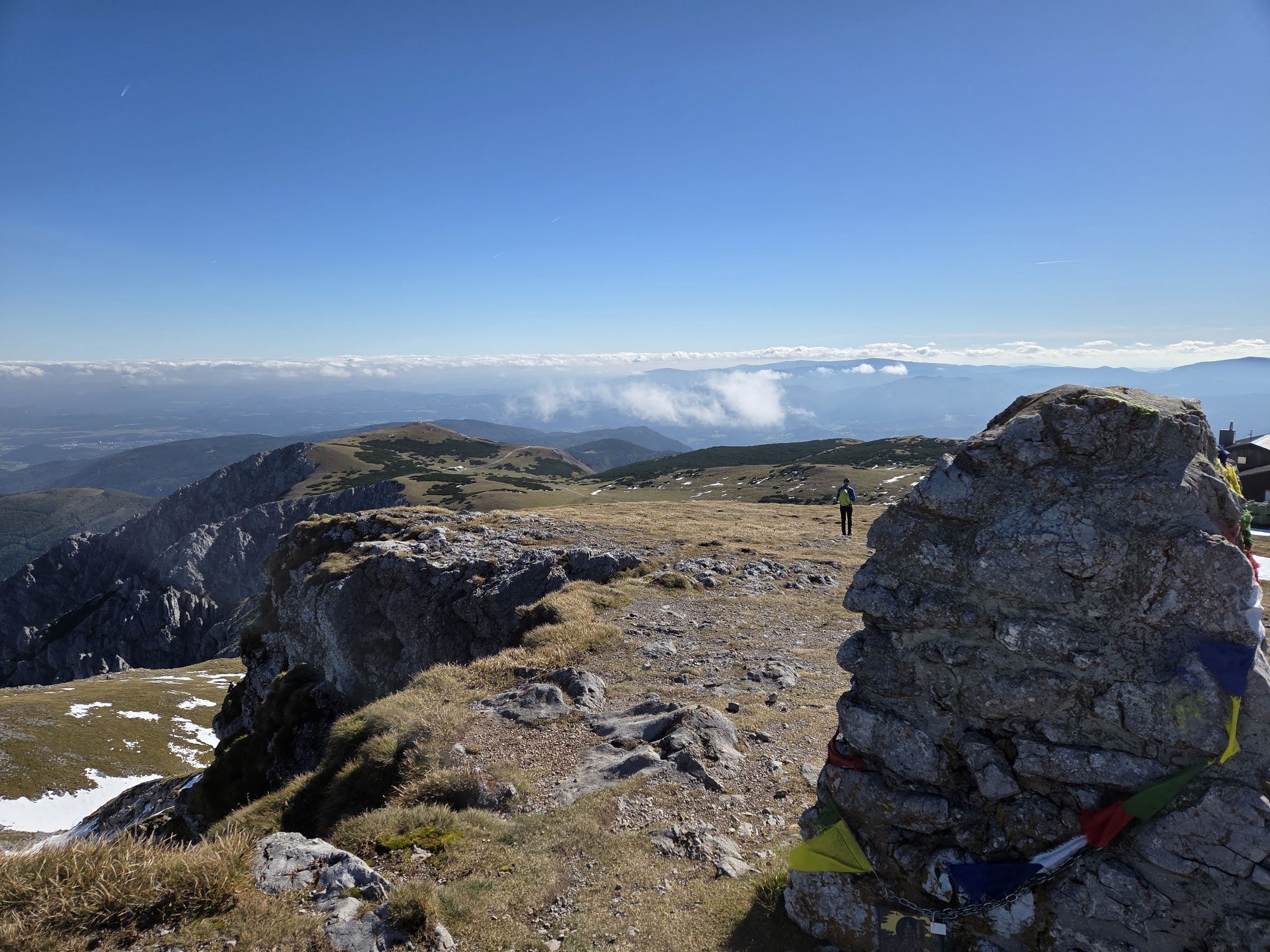
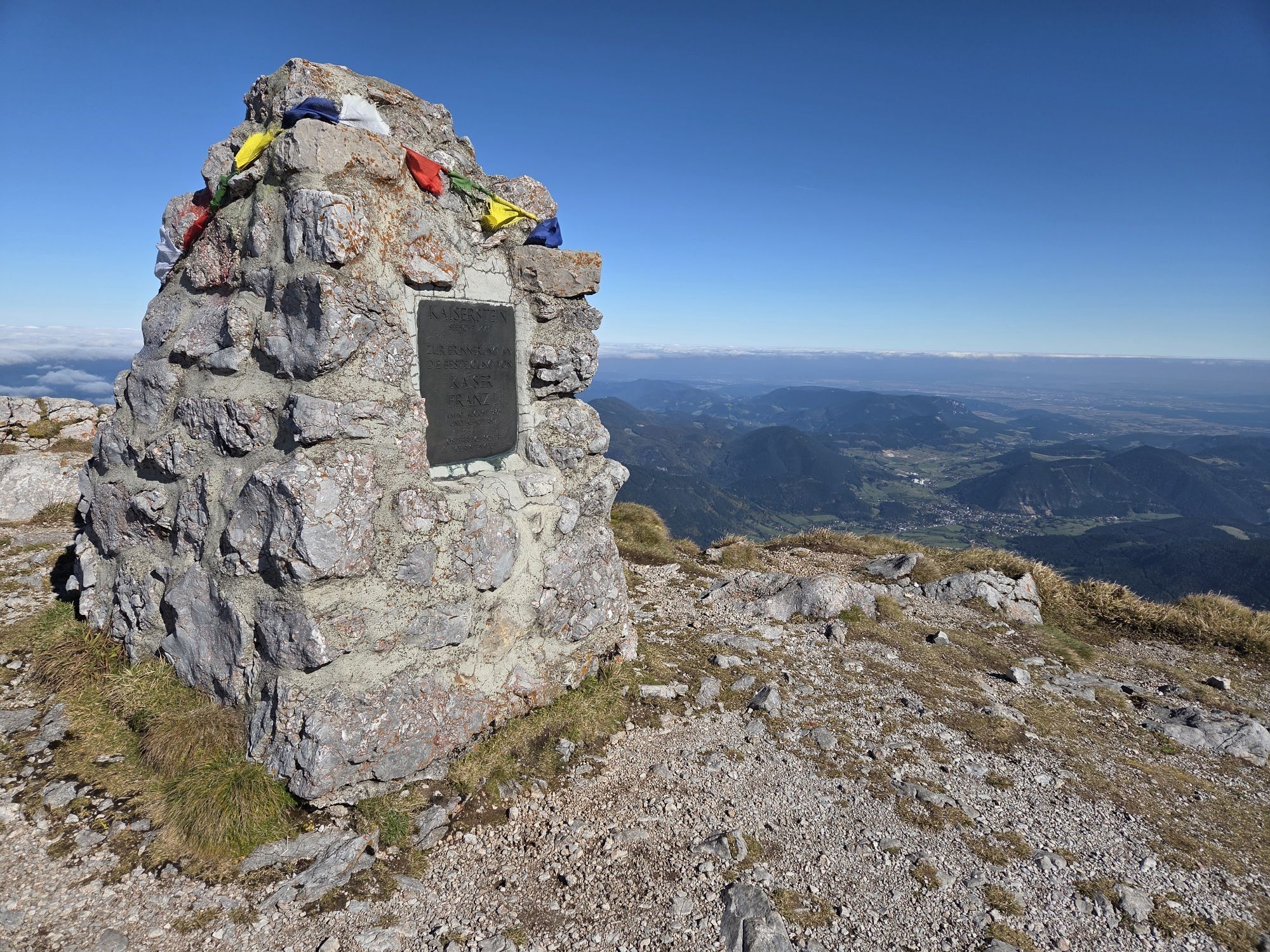
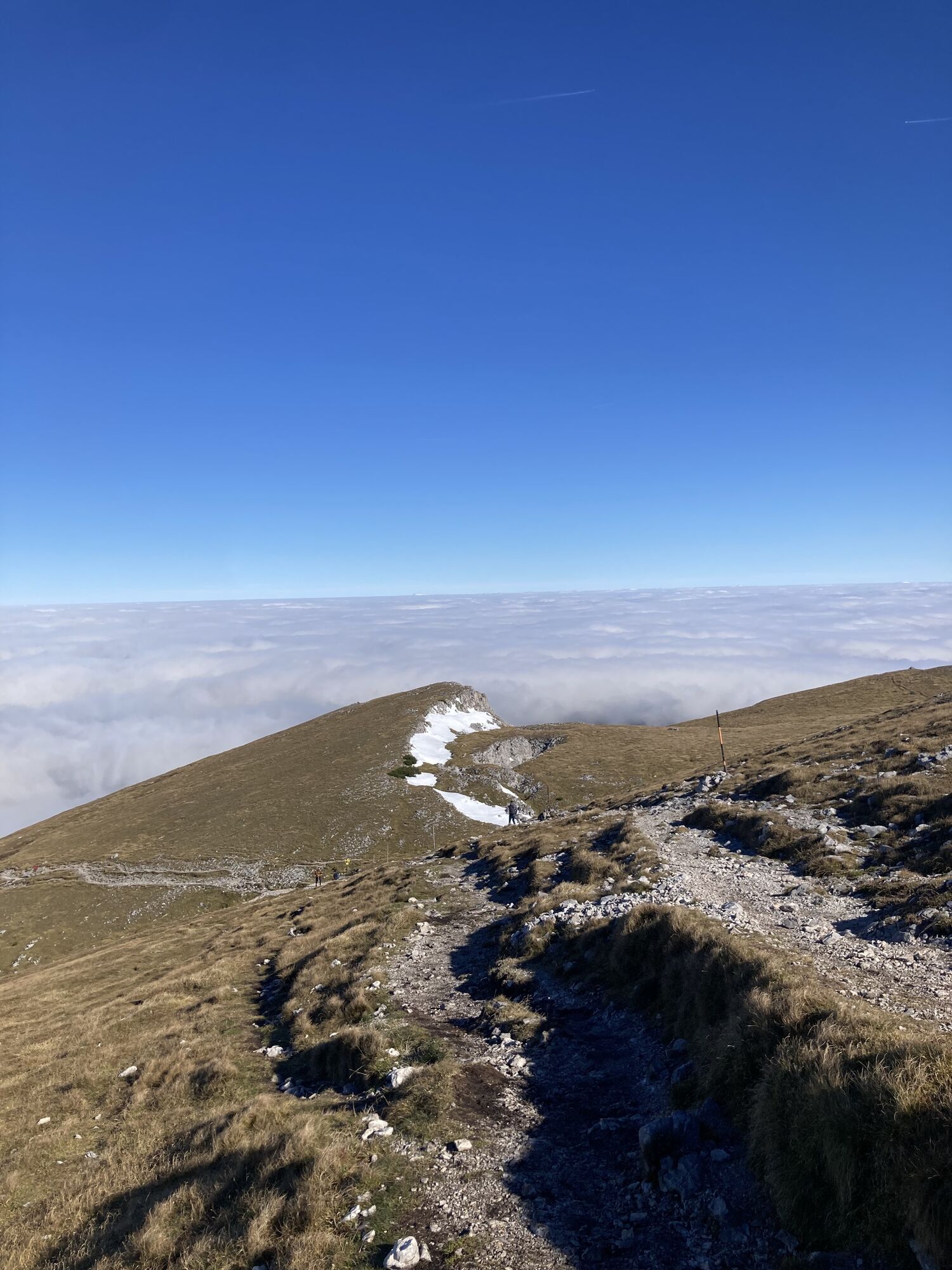


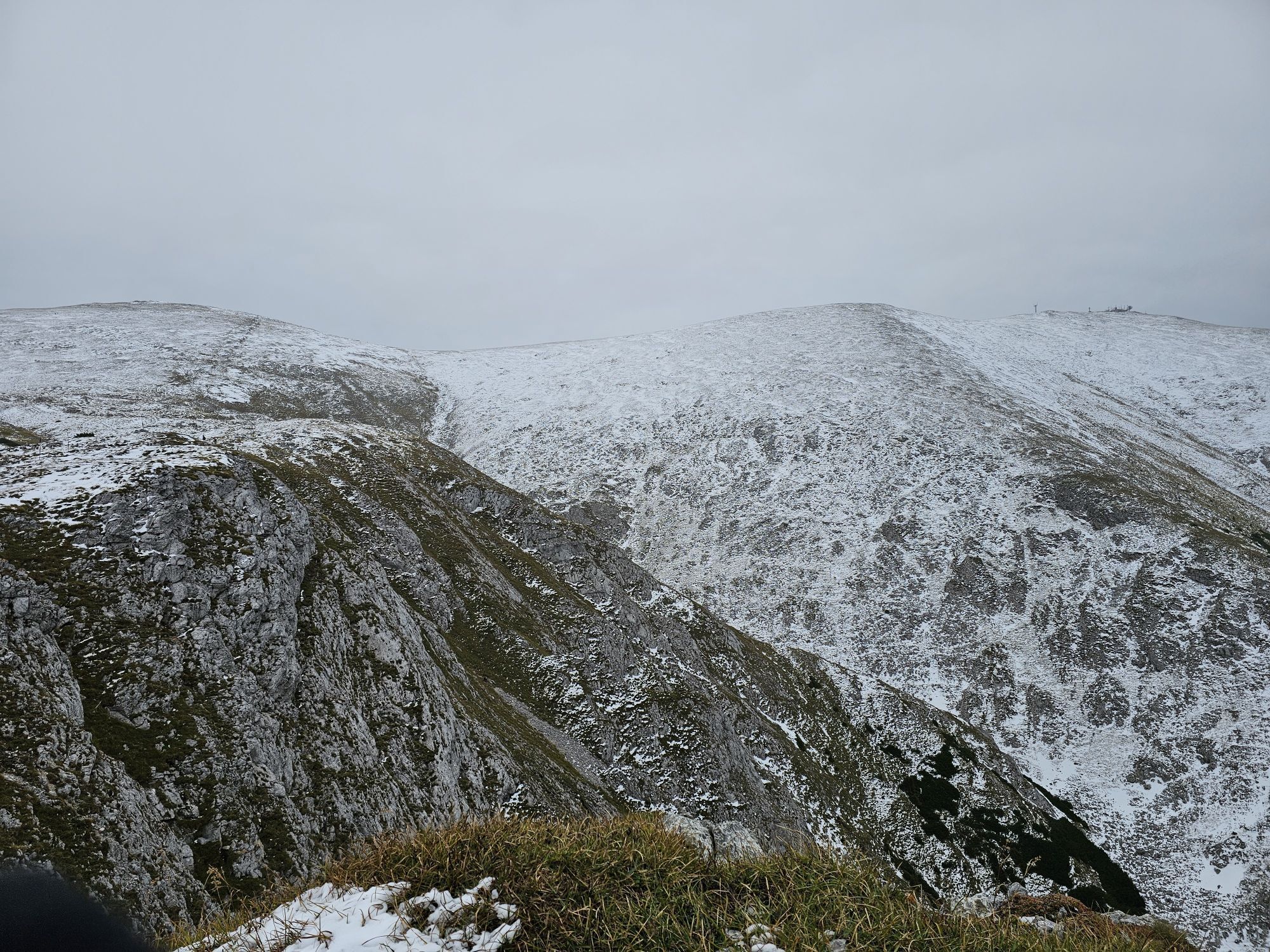
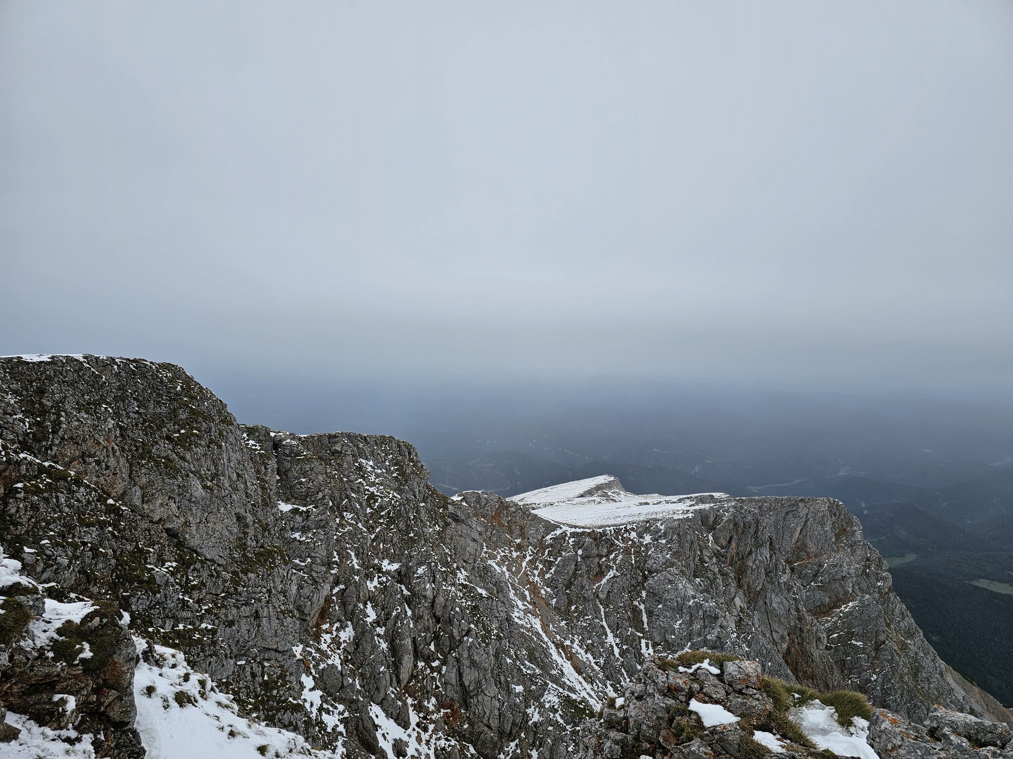
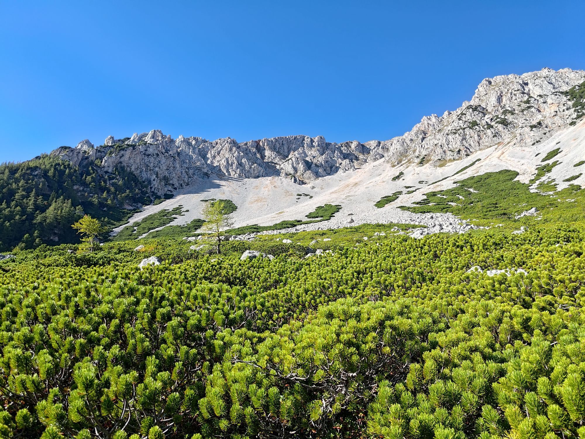
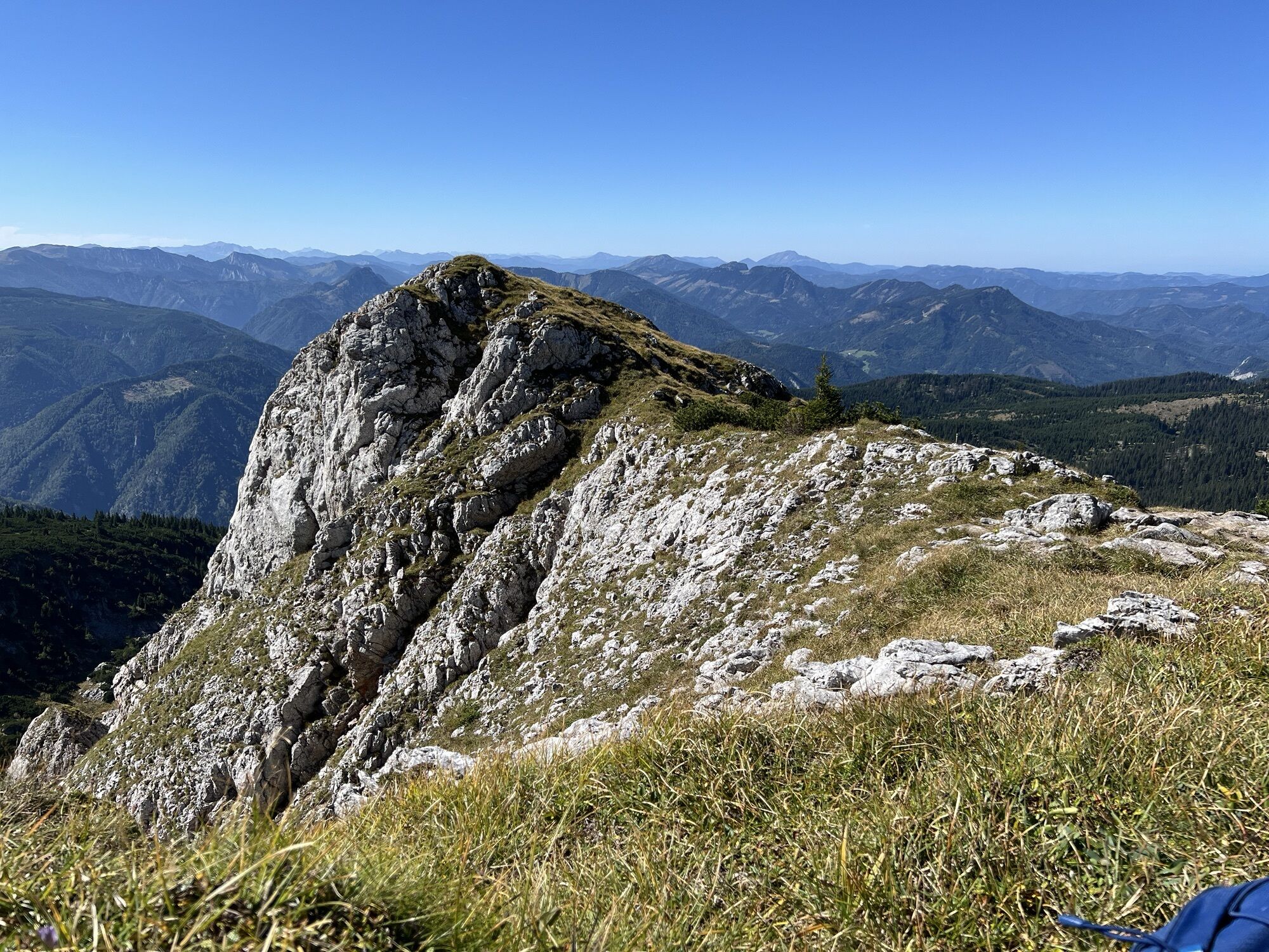
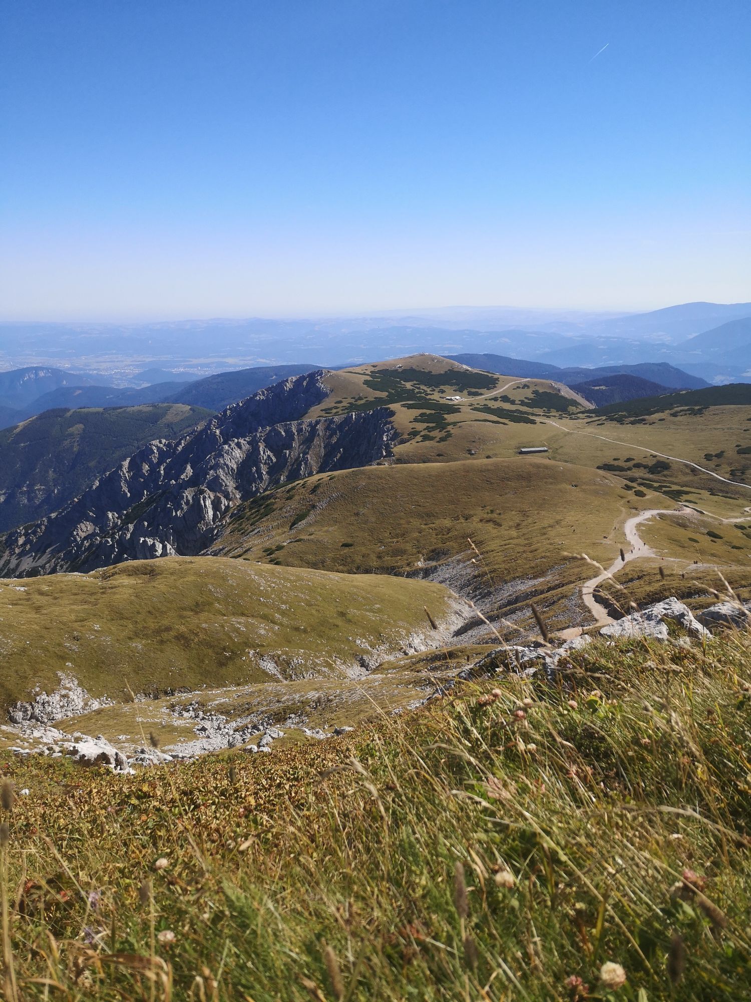
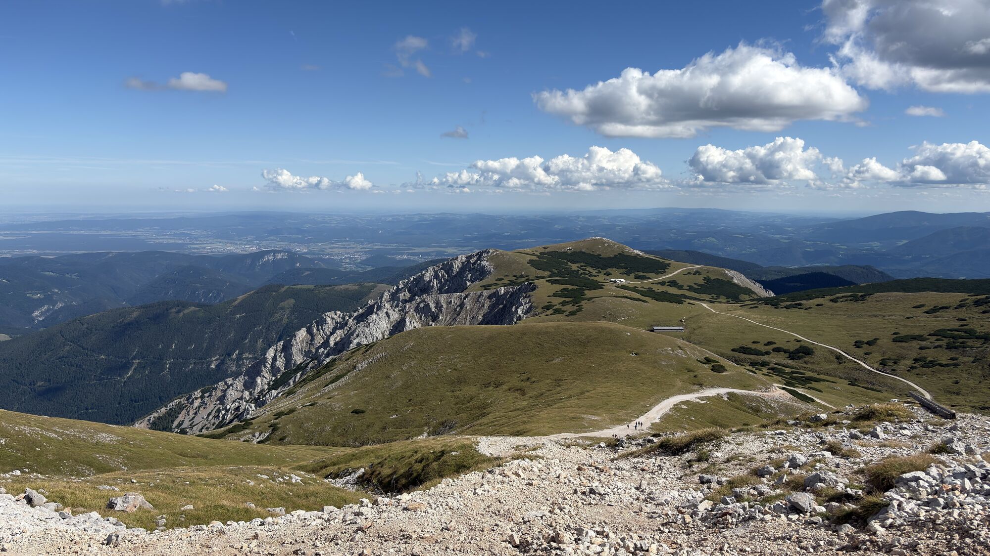
The route begins at the lower station of the Schneeberg chairlift. Follow the red signs below the chairlift, to easily reach the Bürklehütte inn. The Weninger Steig path is the quicker, more direct ascent...
<p>The route begins at the lower station of the Schneeberg chairlift. Follow the red signs below the chairlift, to easily reach the Bürklehütte inn. The Weninger Steig path is the quicker, more direct ascent to the Bürklehütte. Food and drink are not served in this inn.
</p><p>Right at the highest point as you head towards the Edelweisshütte inn, the path turns right towards the Rieshütte inn and on to the Nandlgrat trail. Continue to follow the blue signs between Breiter Ries and Lahningries along the high rock formations and rock faces, until the Nandlgrat trail ends. </p><p>Head across the alpine meadow to the Fadensteig path, and turn left towards the Fischerhütte inn. </p><p>After a rest in the Fischerhütte, the descent begins along the so-called Schauerstein. Follow the green signs, and then the yellow ones, to the Edelweisshütte. From there, you can take the Schneeberg chairlift down to the valley, or follow the yellow signs to the lower station.</p>

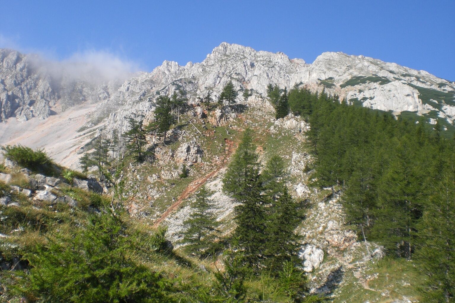
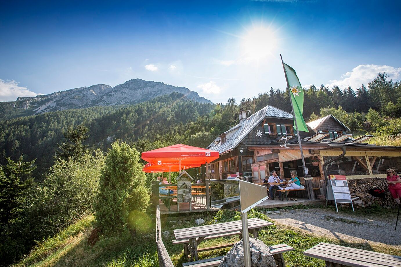
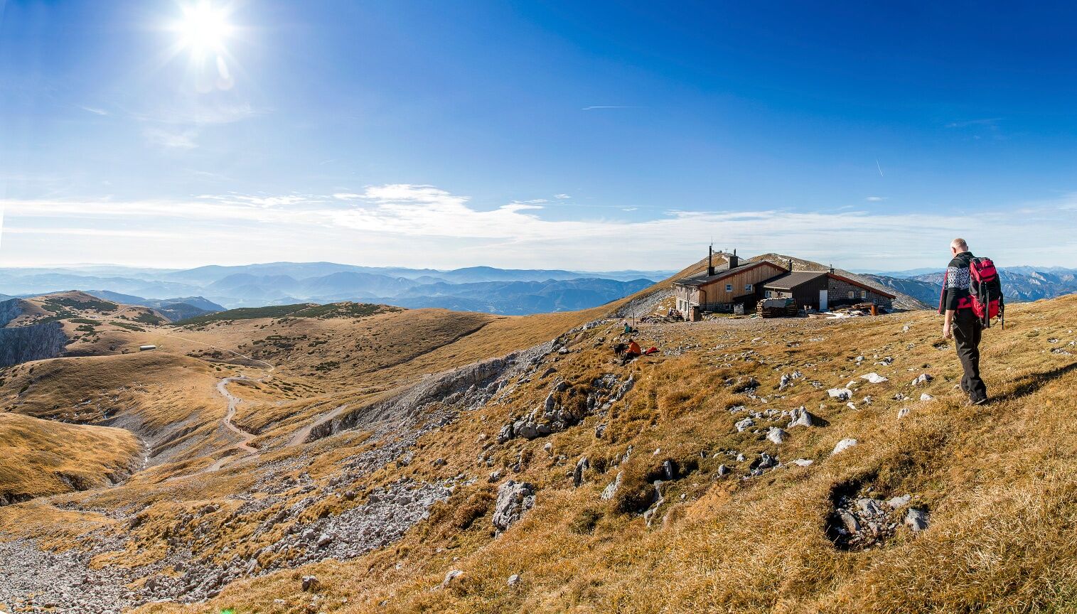

<p>The route begins at the lower station of the Schneeberg chairlift. Follow the red signs below the chairlift, to easily reach the Bürklehütte inn. The Weninger Steig path is the quicker, more direct ascent to the Bürklehütte. Food and drink are not served in this inn.
</p><p>Right at the highest point as you head towards the Edelweisshütte inn, the path turns right towards the Rieshütte inn and on to the Nandlgrat trail. </p><p>Continue to follow the blue signs between Breiter Ries and Lahningries along the high rock formations and rock faces, until the Nandlgrat trail ends. </p><p>Head across the alpine meadow to the Fadensteig path, and turn left towards the Fischerhütte inn. </p><p>After a rest in the Fischerhütte, the descent begins along the so-called Schauerstein. Follow the green signs, and then the yellow ones, to the Edelweisshütte. From there, you can take the Schneeberg chairlift down to the valley, or follow the yellow signs to the lower station.</p>
<p>Sturdy mountain boots, rain protection and drinking water</p>
www.schneebergsesselbahn.at
http://www.iocus.at/Fischerhuette/
www.schneebergbahn.at
A wonderful, demanding ascent for mountaineers with a very good level of physical fitness and coordination.
Infórmate
Siempre en directo con más de 9.500 webcams. bergfex Como usuario Pro, ahora puede ver las webcams correspondientes a muchos tours en la app de tours desde. Esto le permite ver las condiciones actuales directamente.
Actividades a lo largo del recorrido

Rutas populares en los alrededores
-
4,6
Losenheim: Edelweißhütte - Fadensteig - Fischerhütte
medioSenderismo 11,5 km -
4,7
Zahnradbahn und Wandern am Schneeberg - Plateauwanderung
medioSenderismo 6,90 km -
4,8
Rax - Heukuppe
Senderismo 15,6 km -
4,8
Paseo cultural Payerbach-Reichenau
luzSenderismo 7,43 km -
5,0
"Weichtalklamm" über Stock und Stein durch das Höllental - Weichtalhaus - Kientallerhütte 1340m
medioSenderismo 14,0 km -
5,0
Reißtalersteig und Gretchensteig
pesadoSenderismo 8,10 km -
4,9
Insider tip: Schneeberg via the Novembergrat
pesadoSenderismo 13,5 km -
4,9
RAX Preiner Gscheid Waxriegel Predigtstuhl Heukuppe Karl L.Haus ret. 20210908
medioSenderismo 12 km -
4,9
SCHNEEBERG Losenheim Nandlgrat Klosterwappen Fadenweg 28.09.2017
pesadoSenderismo 15 km -
4,8
"Krummbachstein 1602m" - Eng - Payerbach - Rundwanderweg
medioSenderismo 24,8 km

Senderismo y rastreo


No se pierda las ofertas y la inspiración para sus próximas vacaciones
Su dirección de correo electrónico se ha añadido a la lista de correo.





