Gipfelrestaurant Walmendingerhorn - Muttelbergkopf - Östlicher Ochsenhofer Kopf - Grünhorn
medio
Consigue este tour en tu móvil
Gipfelrestaurant Walmendingerhorn - Muttelbergkopf - Östlicher Ochsenhofer Kopf - Grünhorn
medio
Senderismo
10,54
km
Escanee el código QR e inicie la navegación en la aplicación bergfex


Senderismo y rastreo





Gipfelrestaurant Walmendingerhorn - Muttelbergkopf - Östlicher Ochsenhofer Kopf - Grünhorn
medio
Distancia
10,54
km
Duración
03:30
h
Ascenso
791
m
Nivel del mar
1.678 -
2.034
m
Descarga de pistas
Gipfelrestaurant Walmendingerhorn - Muttelbergkopf - Östlicher Ochsenhofer Kopf - Grünhorn
medio
Senderismo
10,54
km
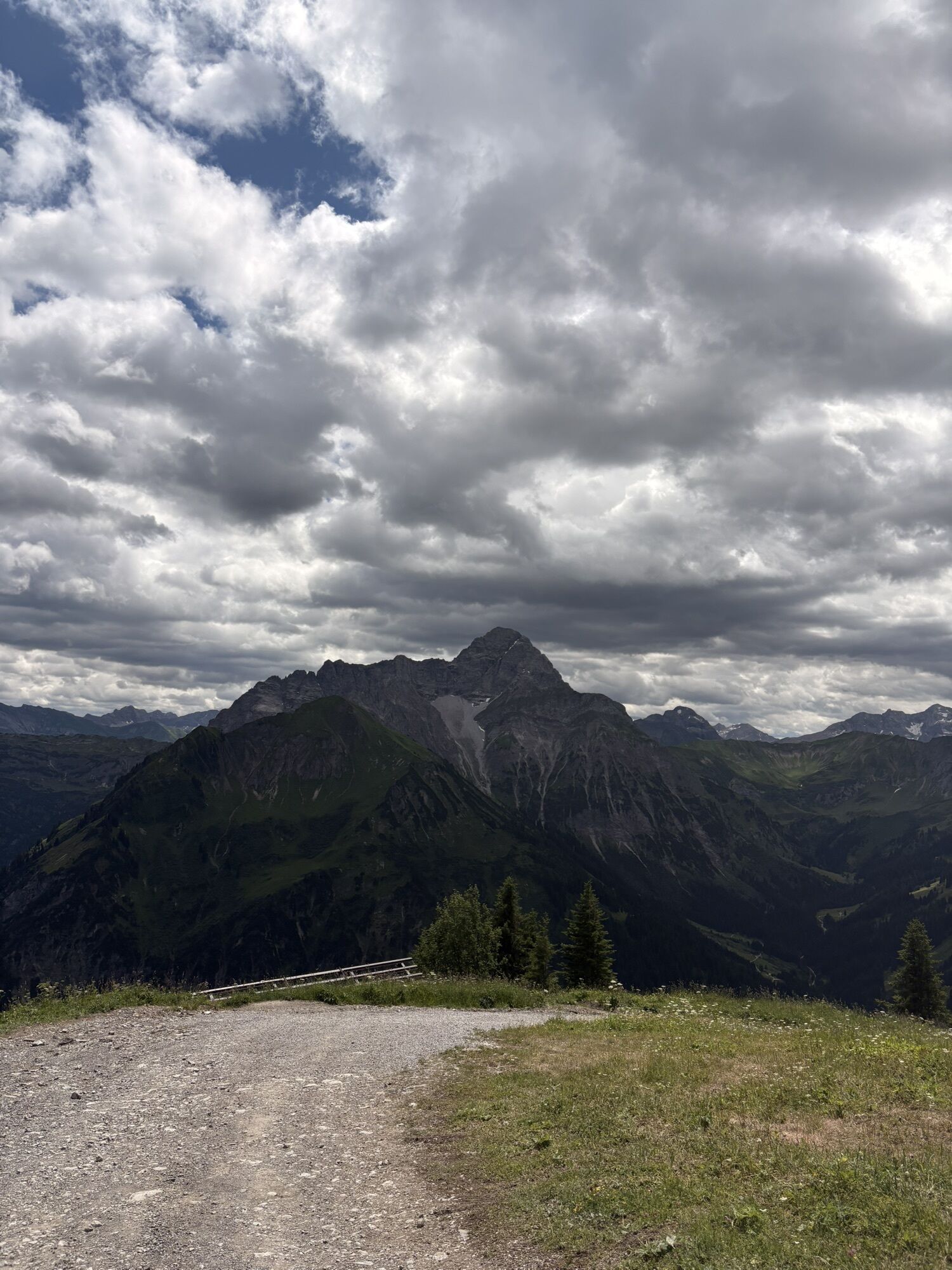
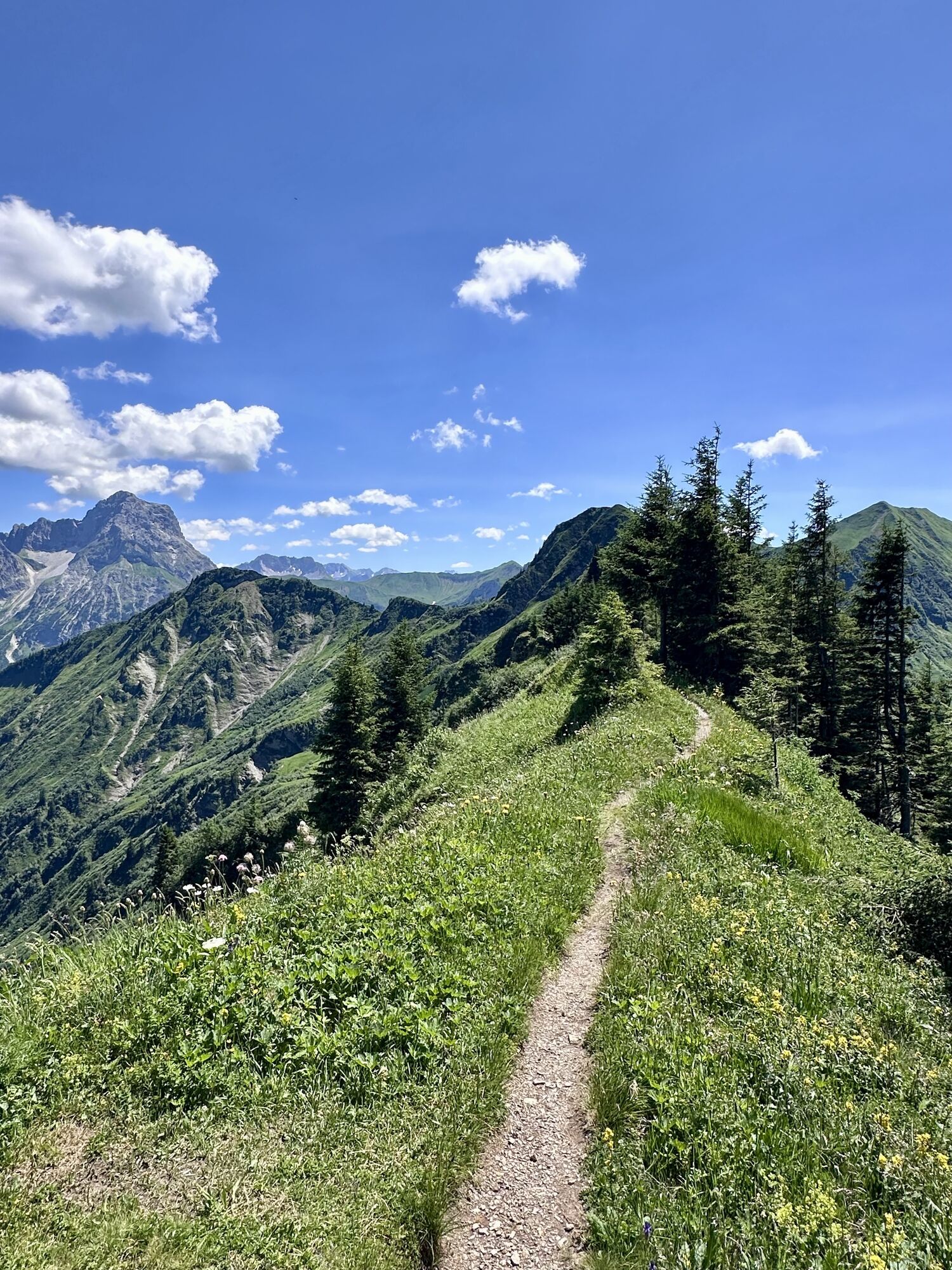
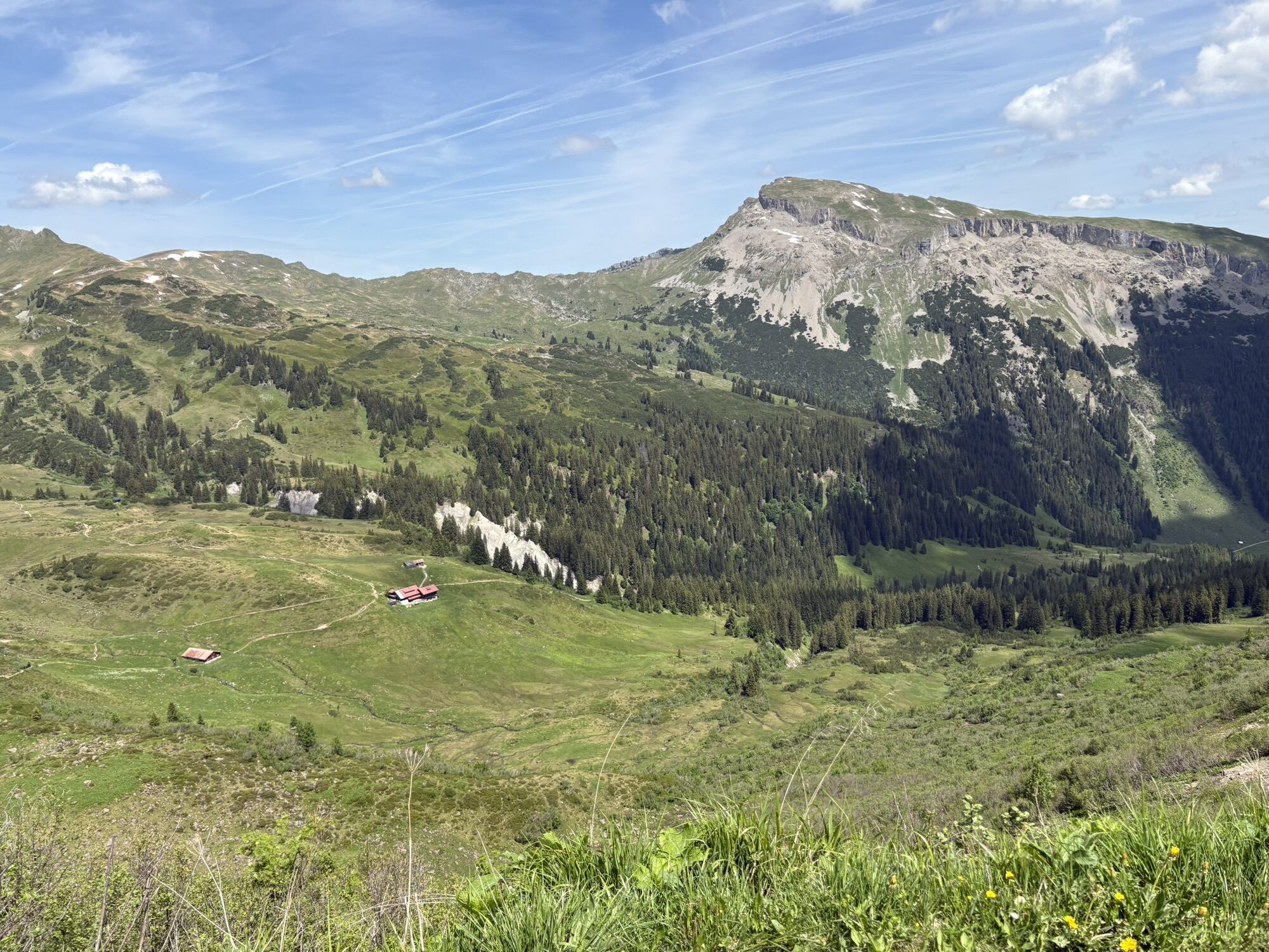
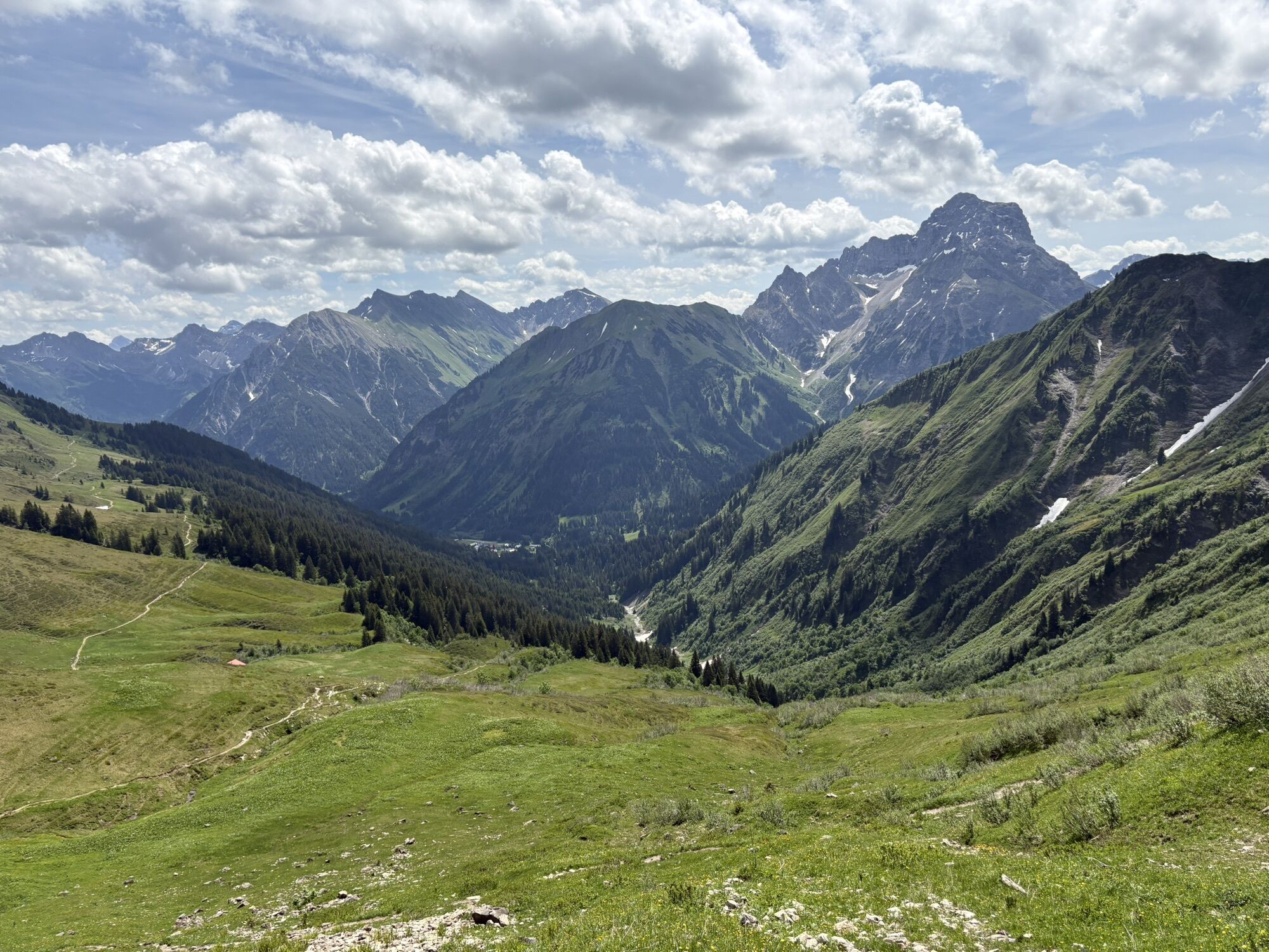
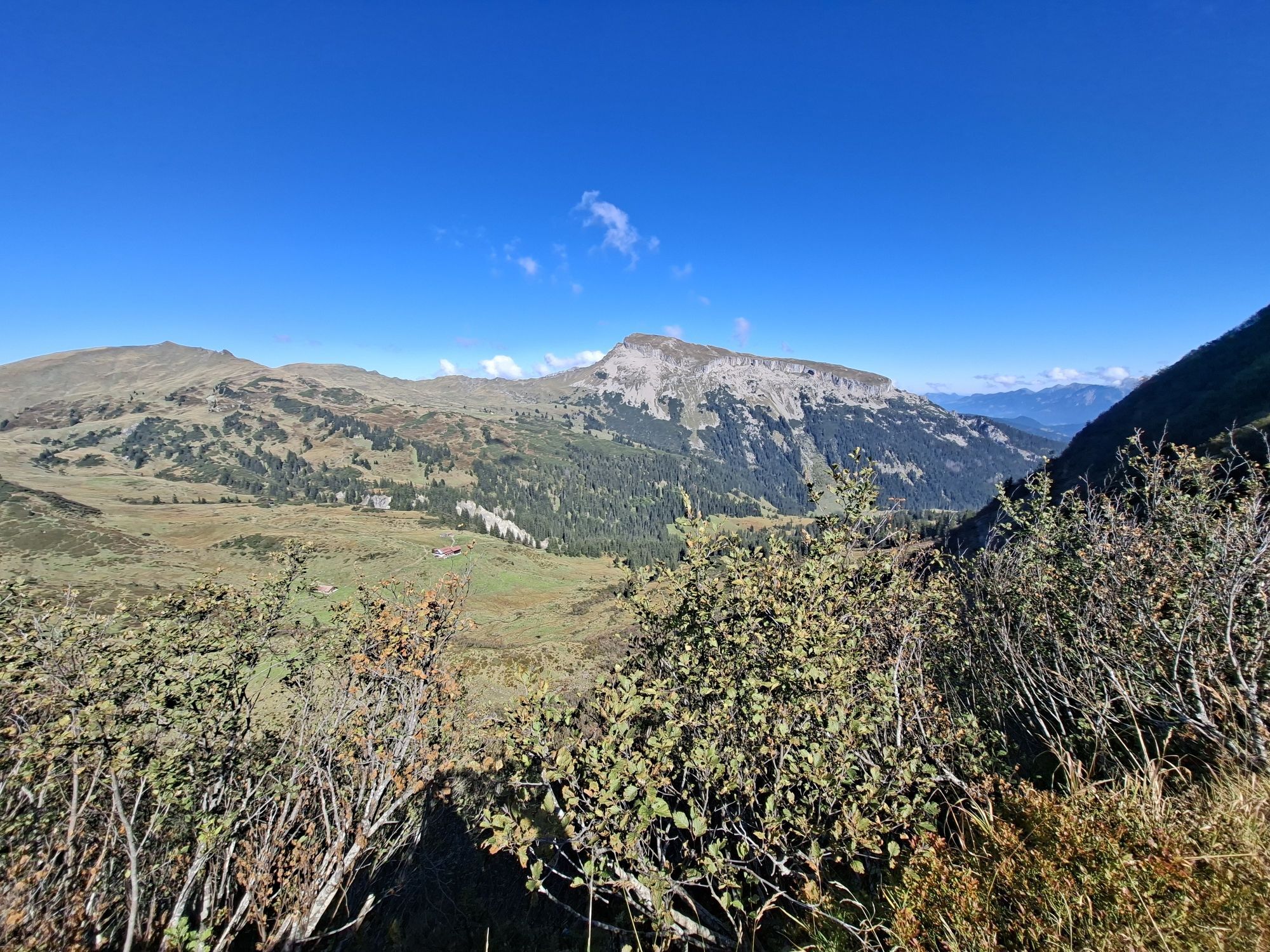
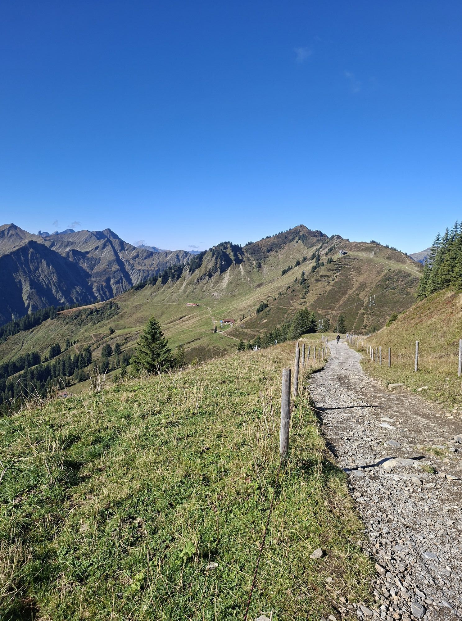
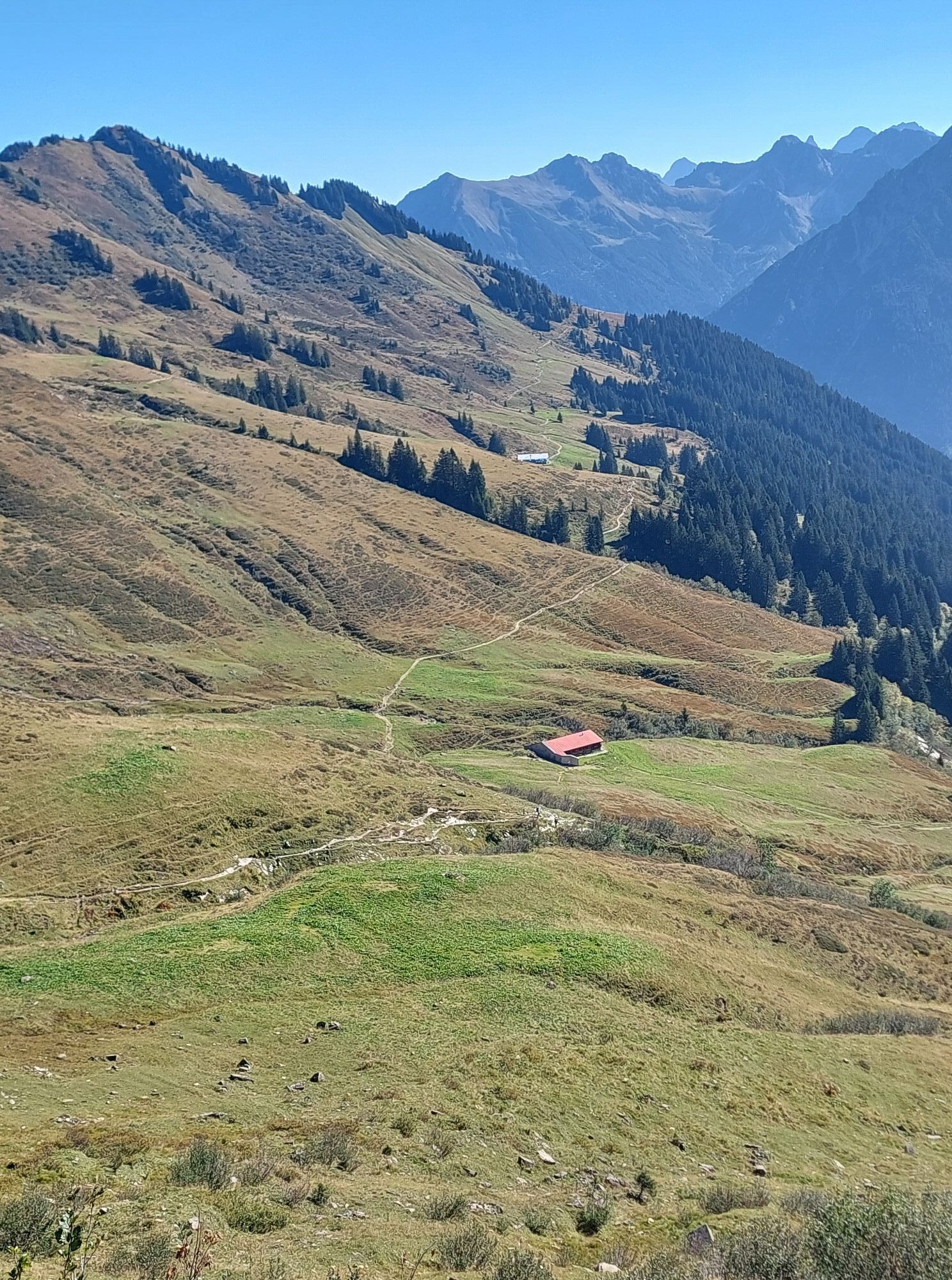
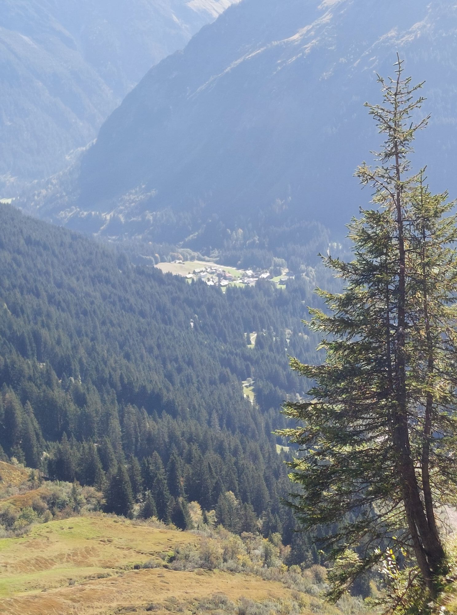
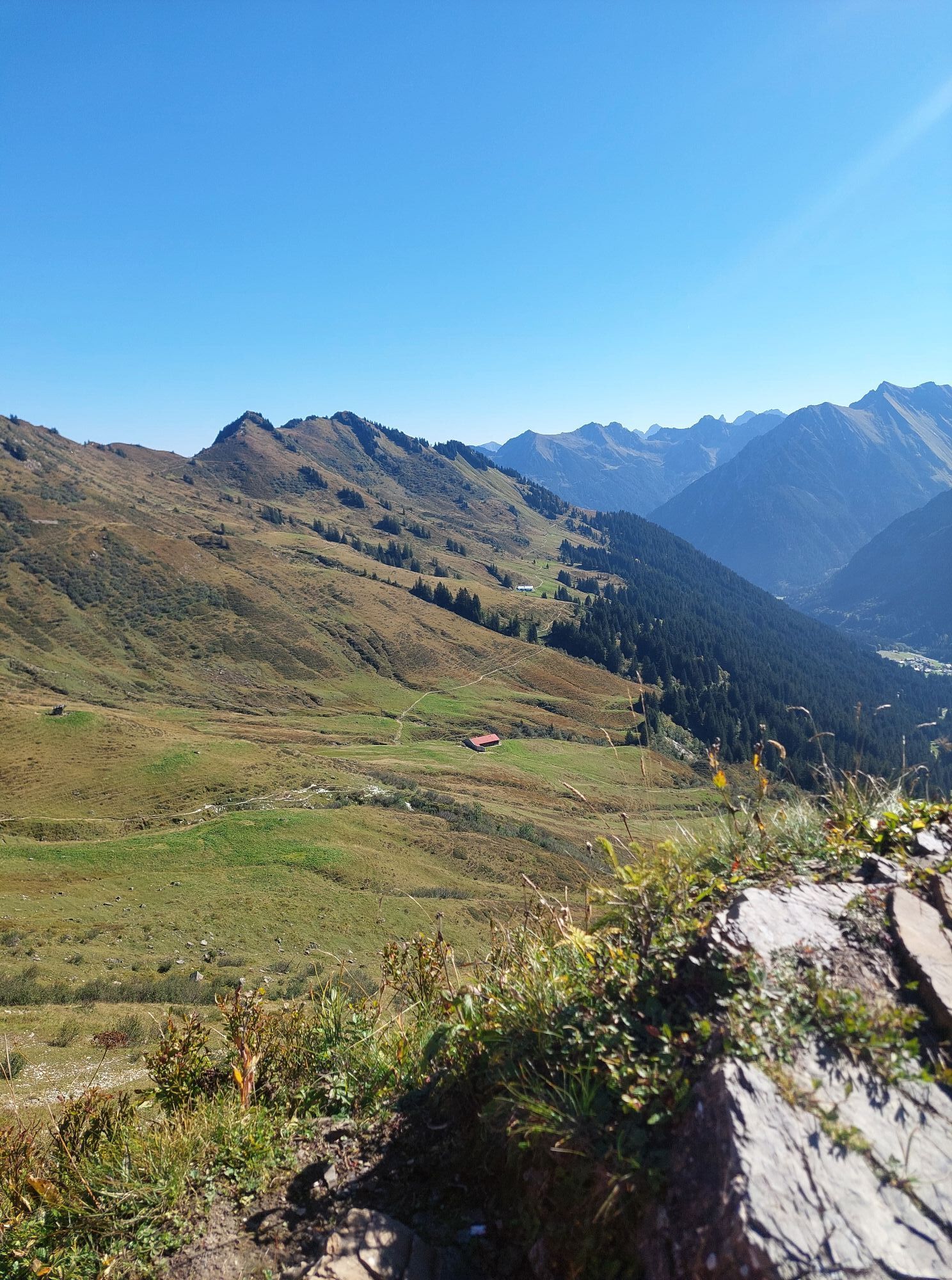
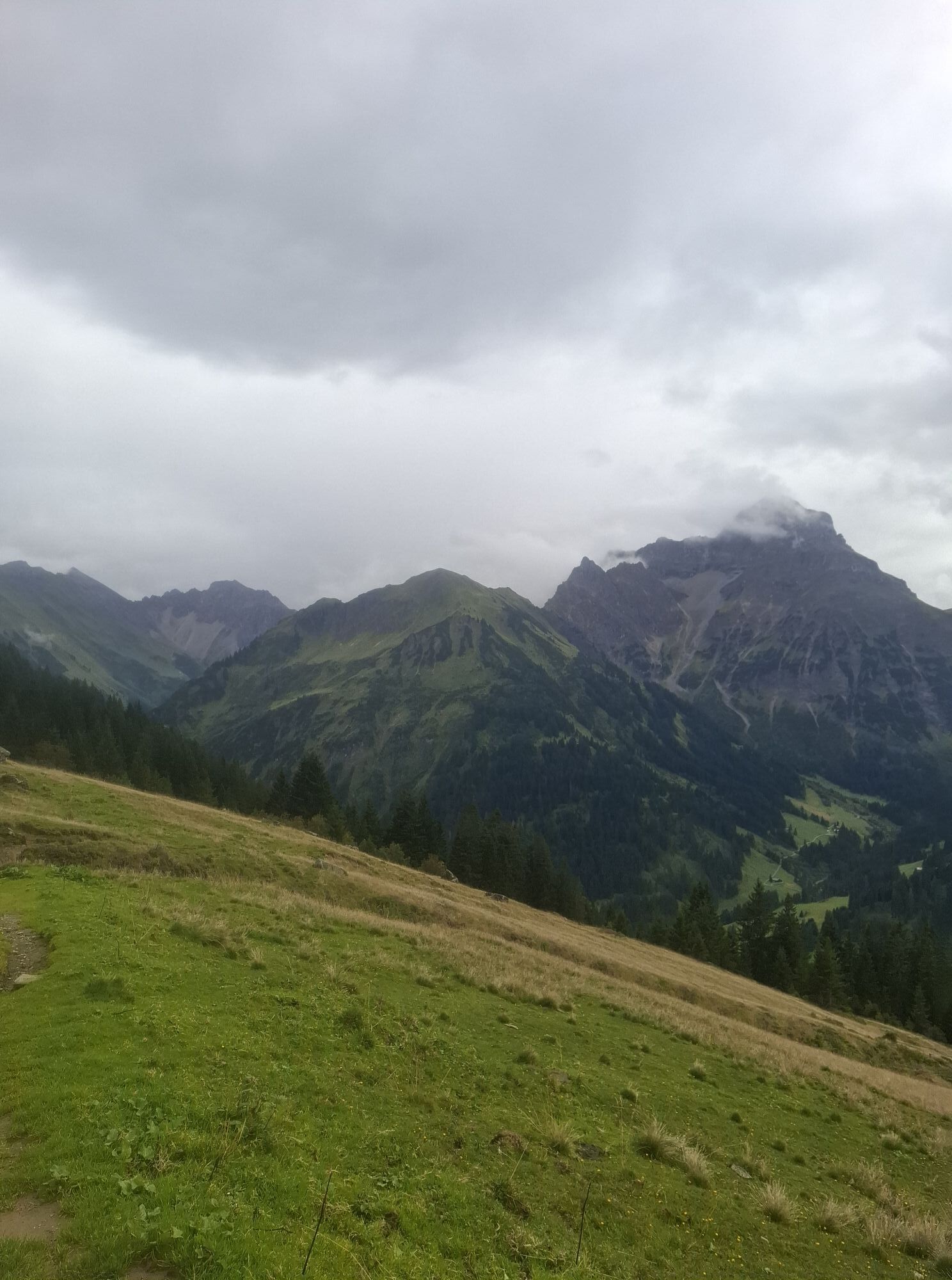
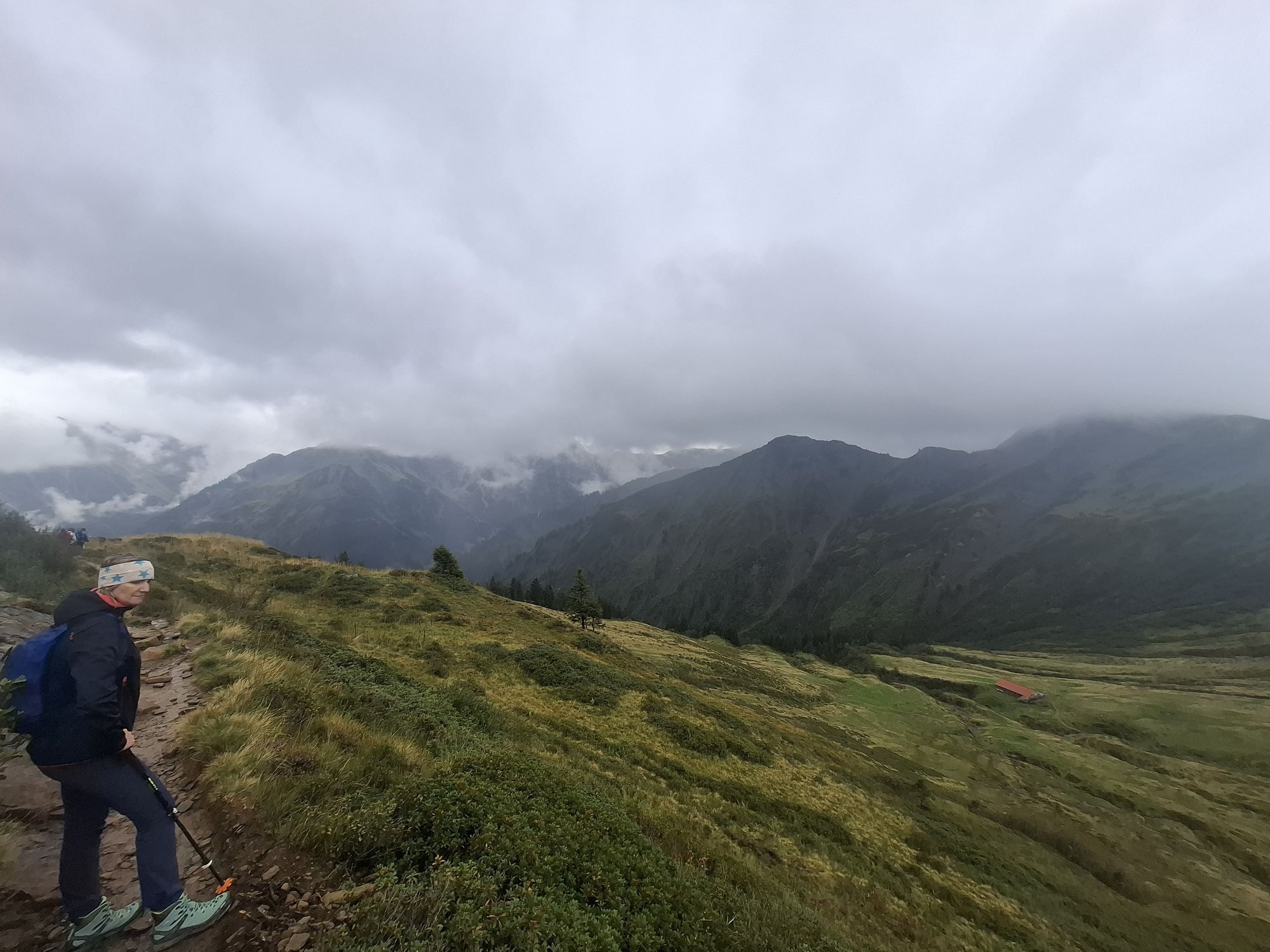
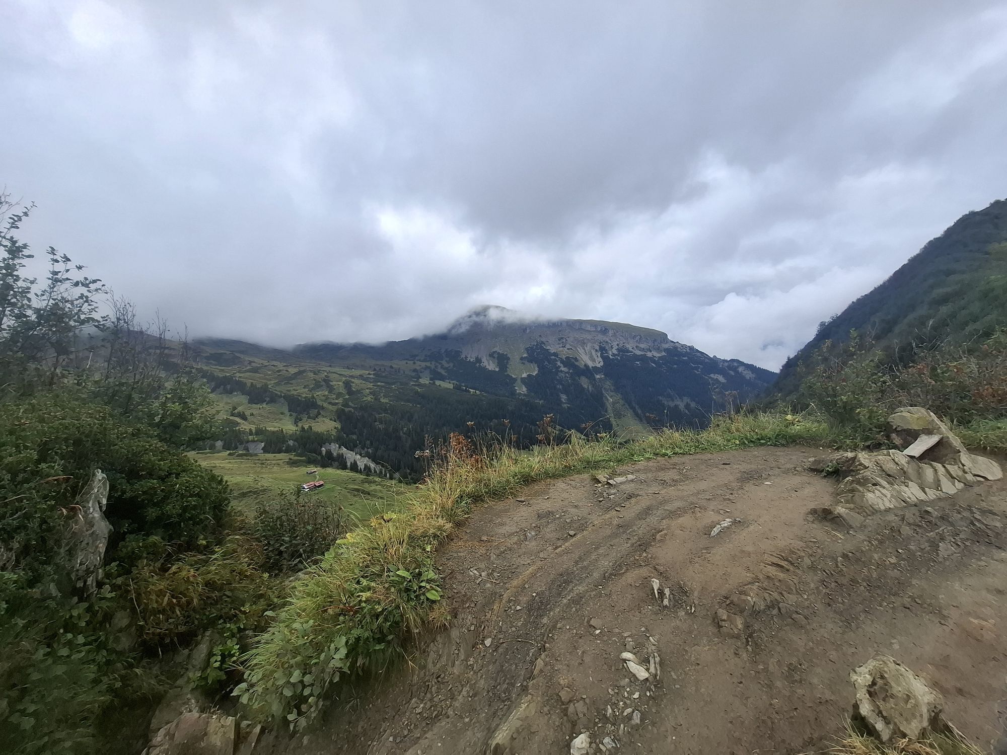
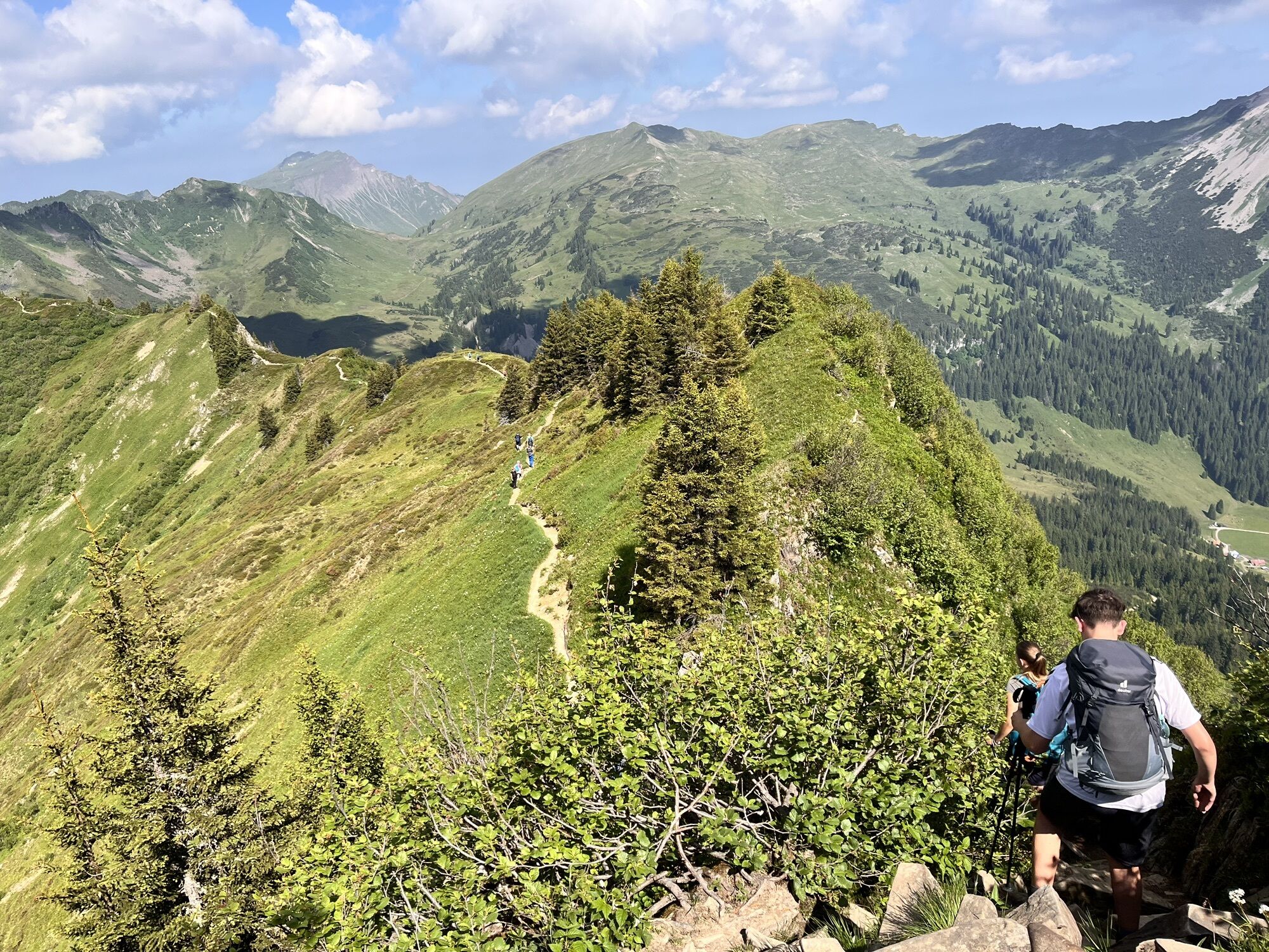
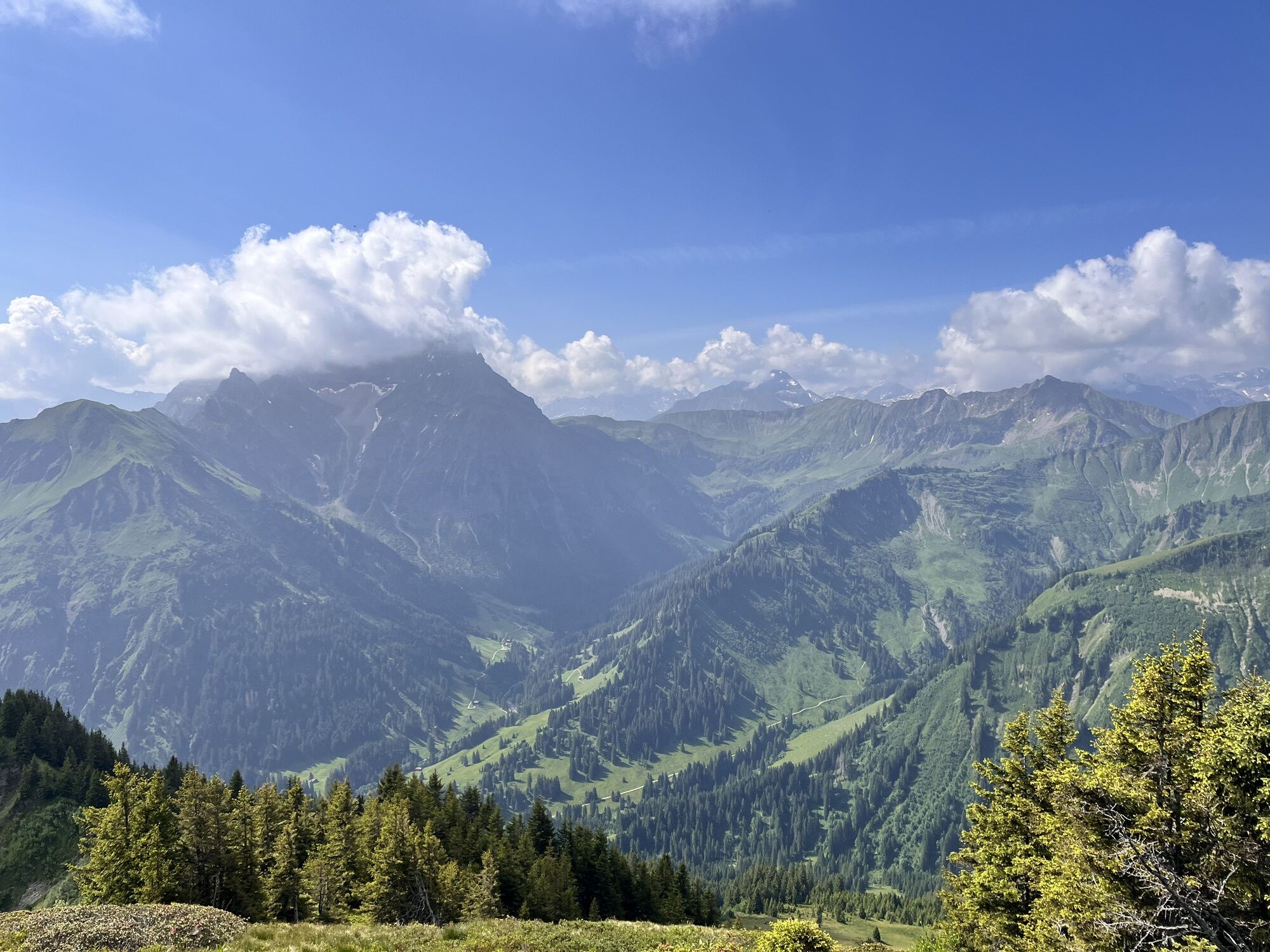
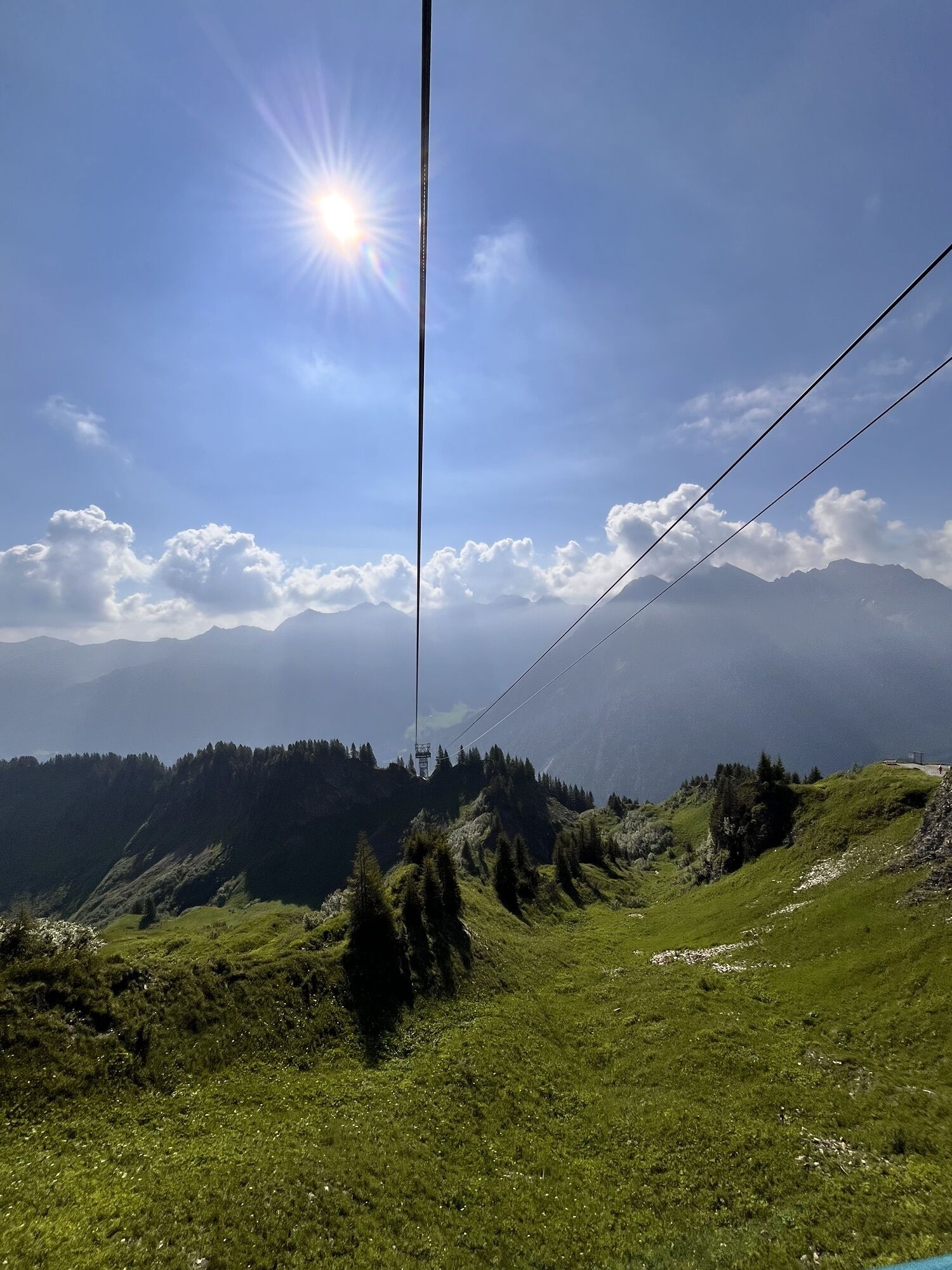
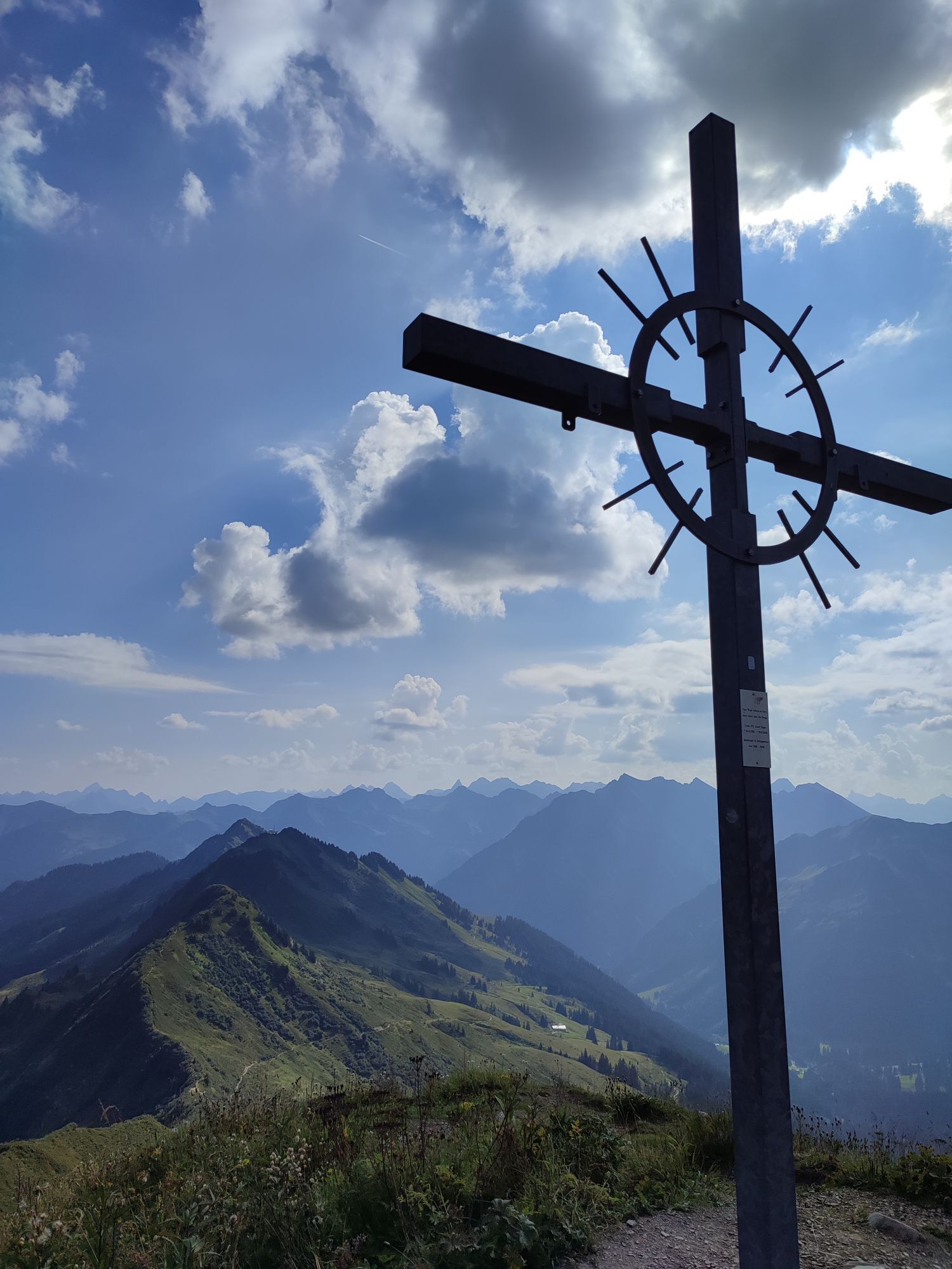
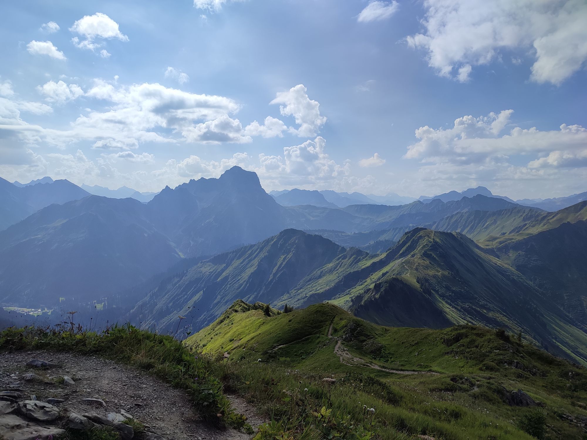
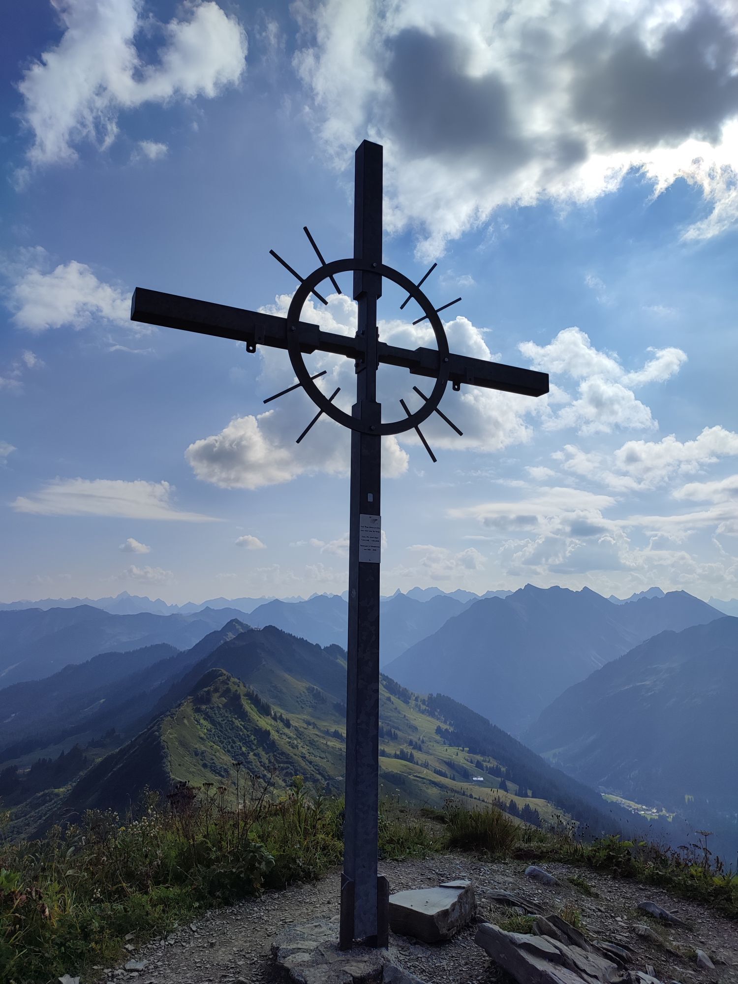
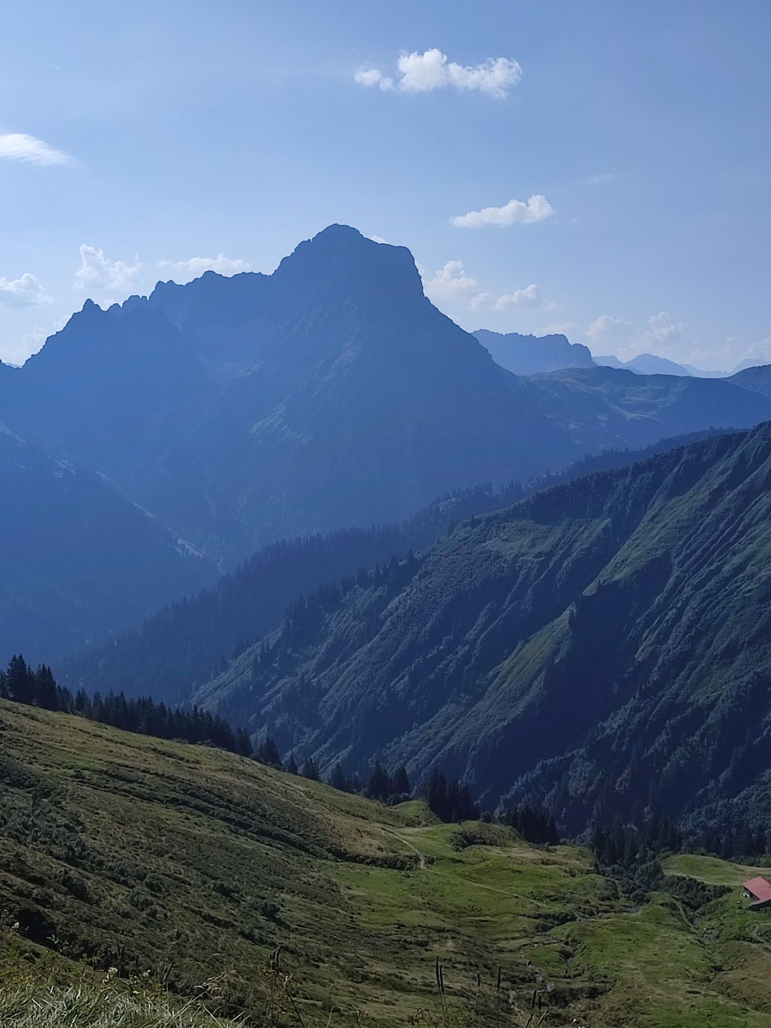
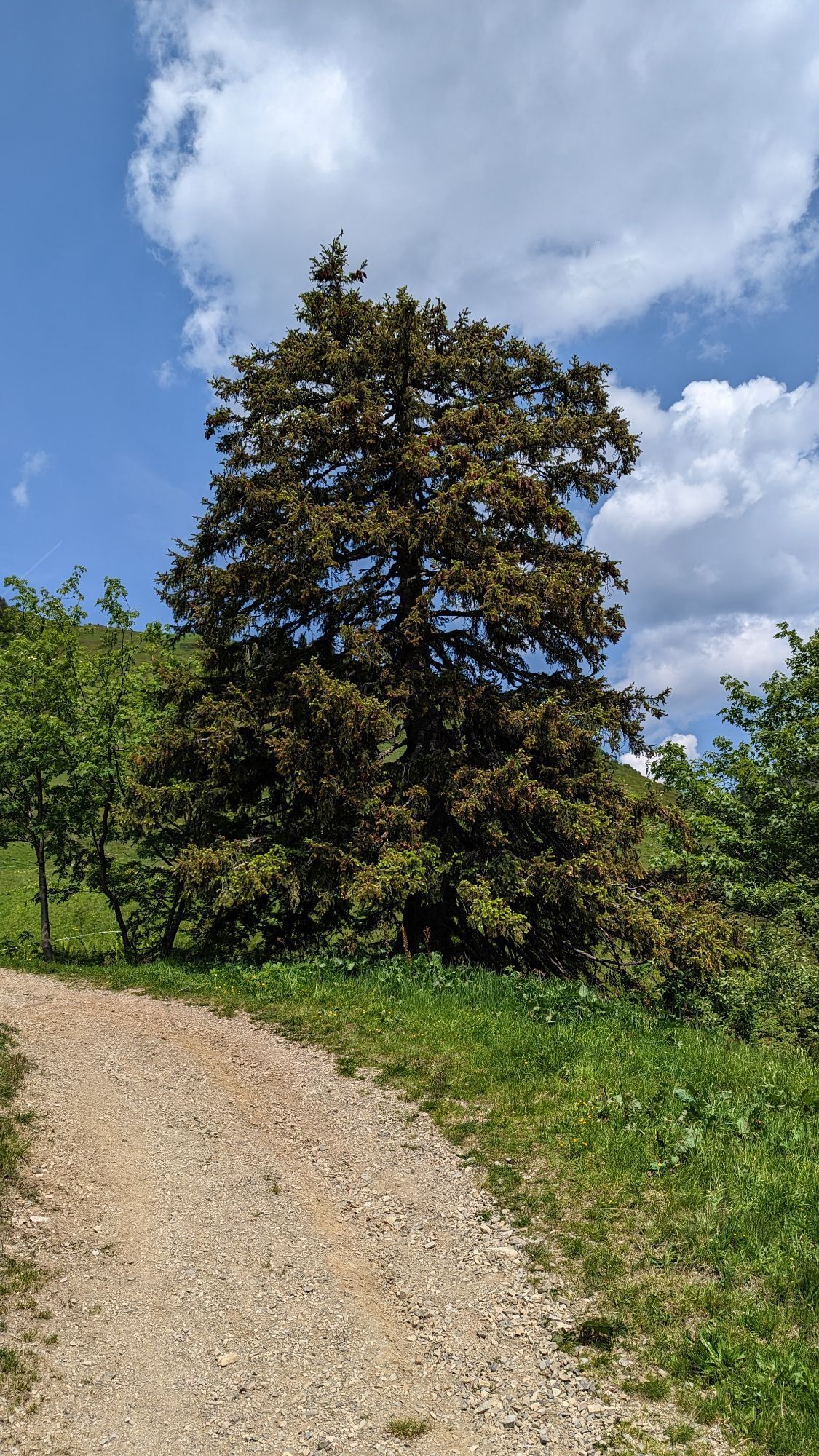
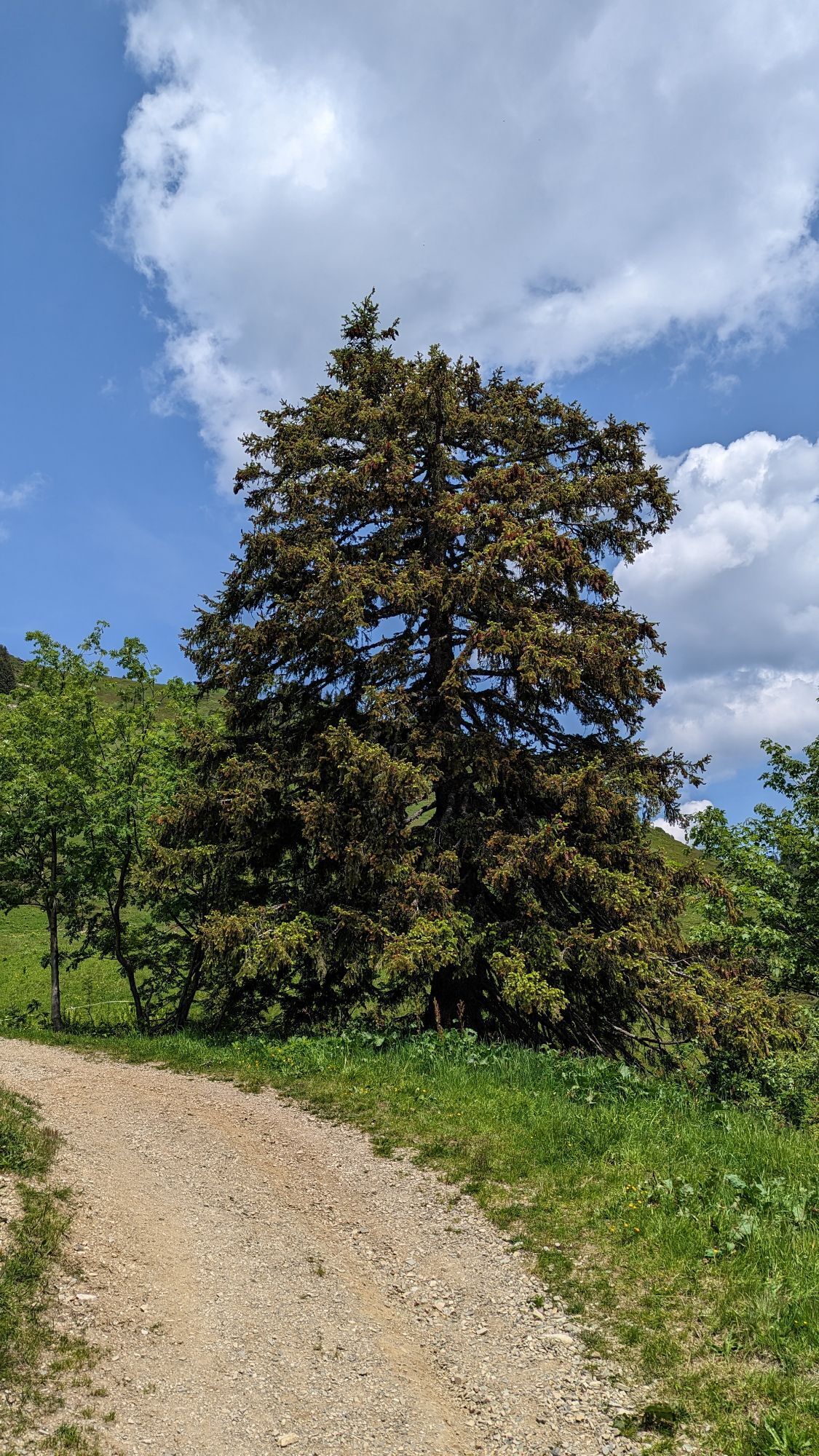
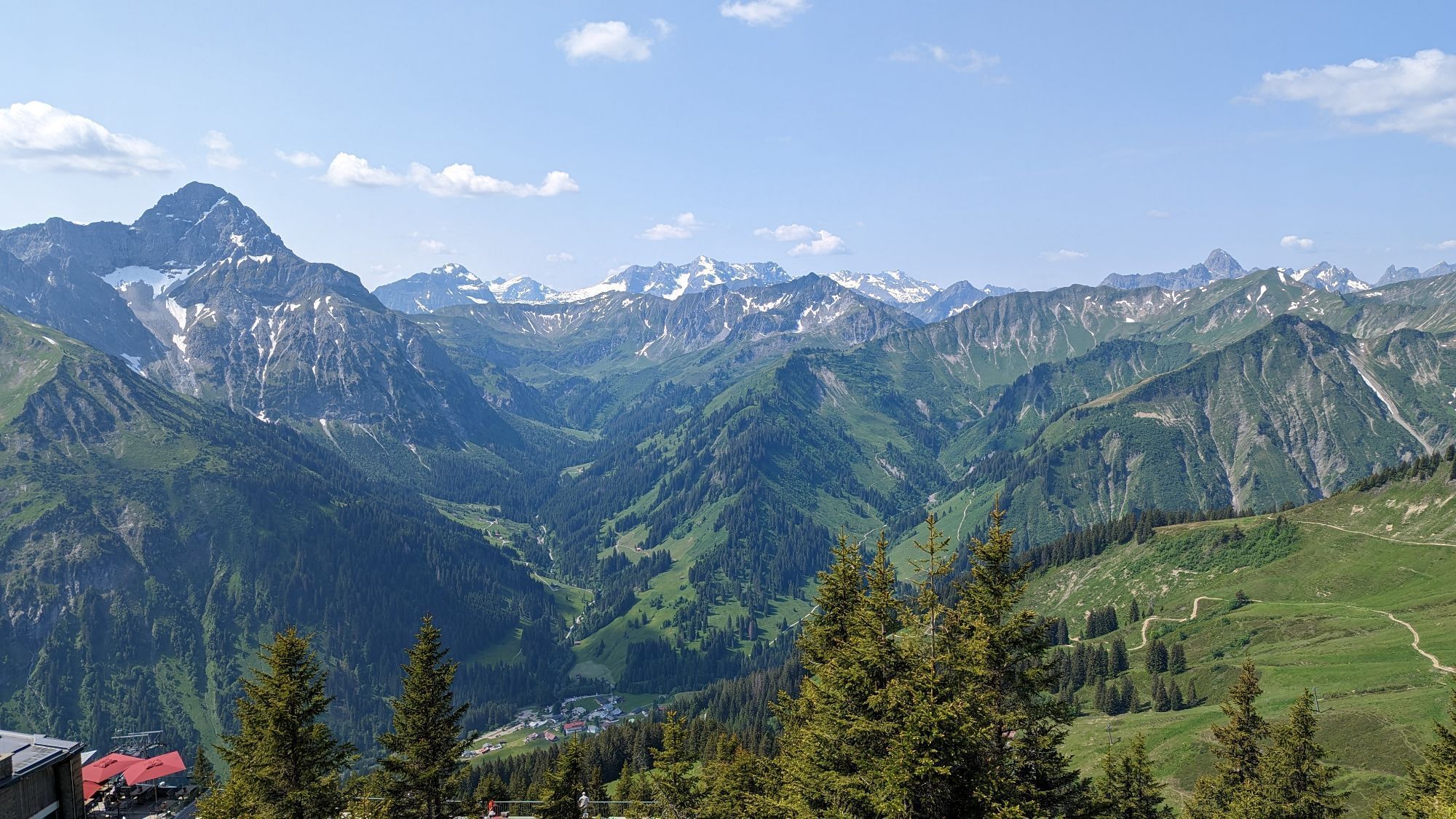
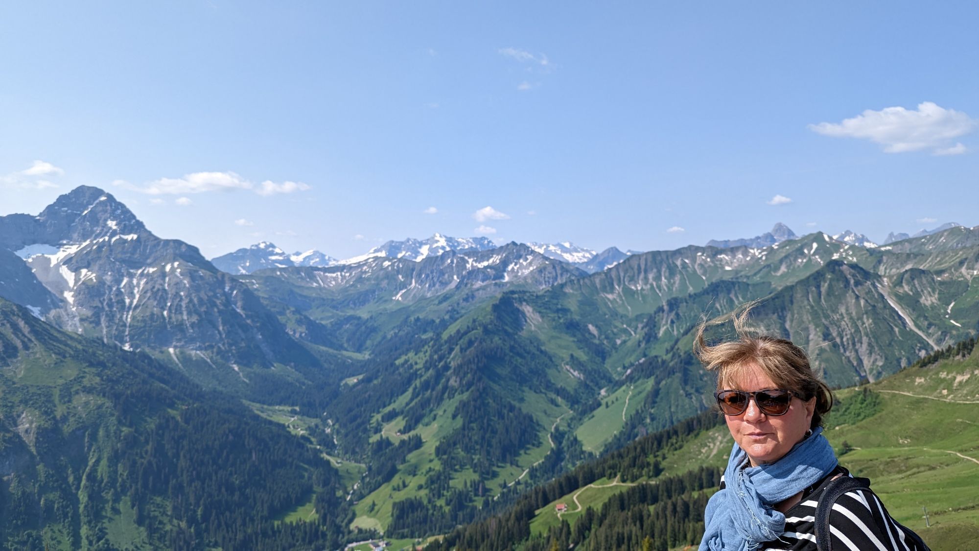
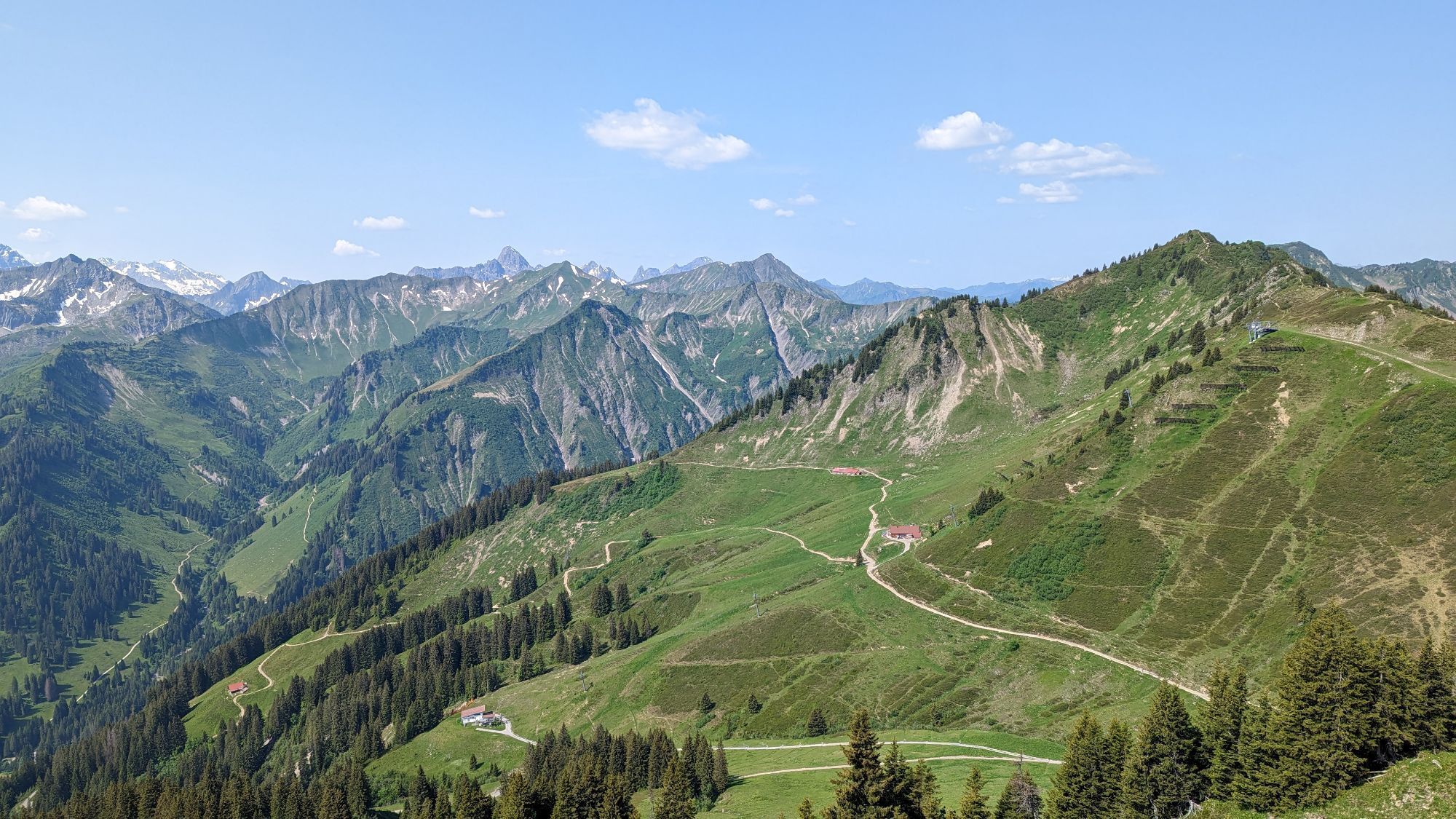
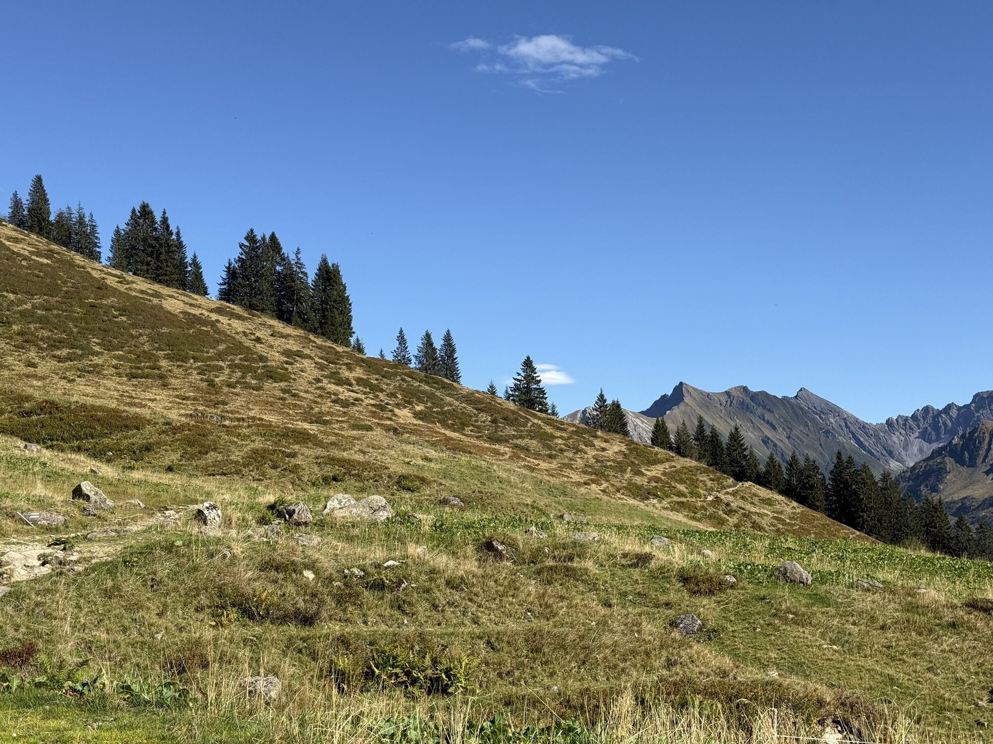
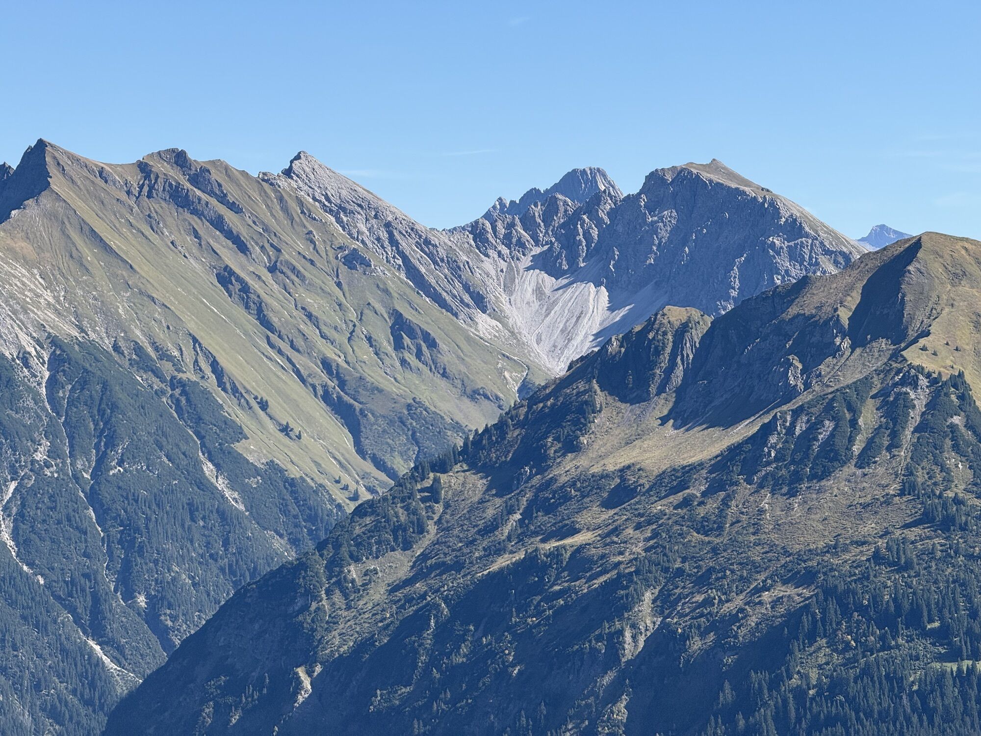
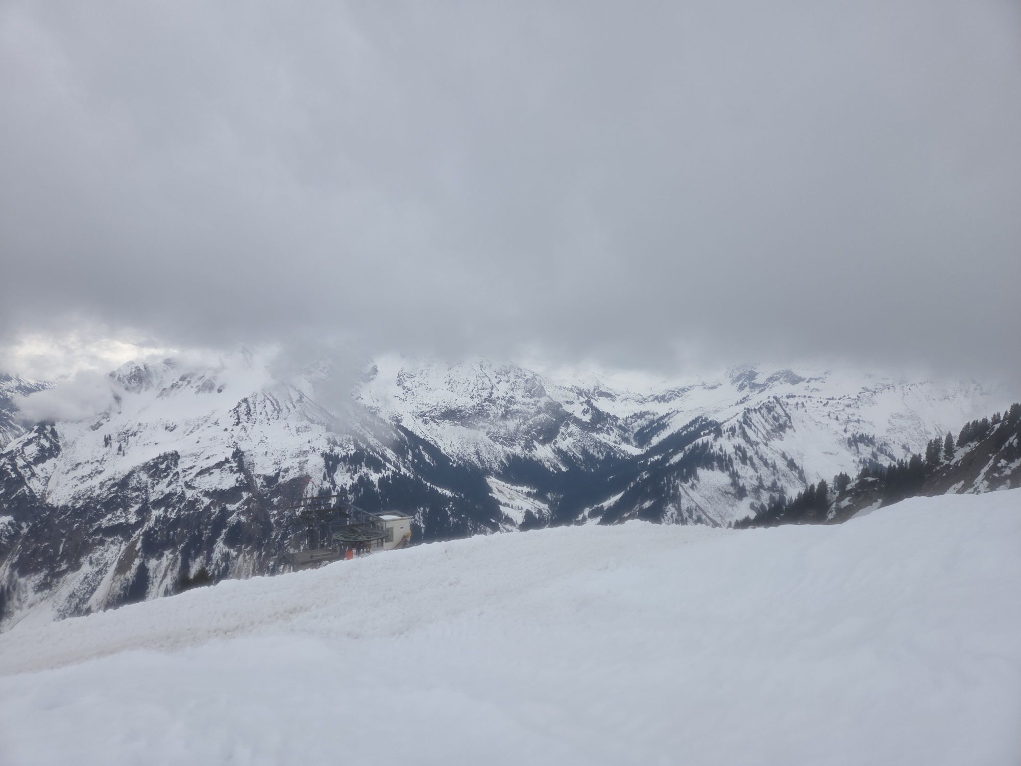
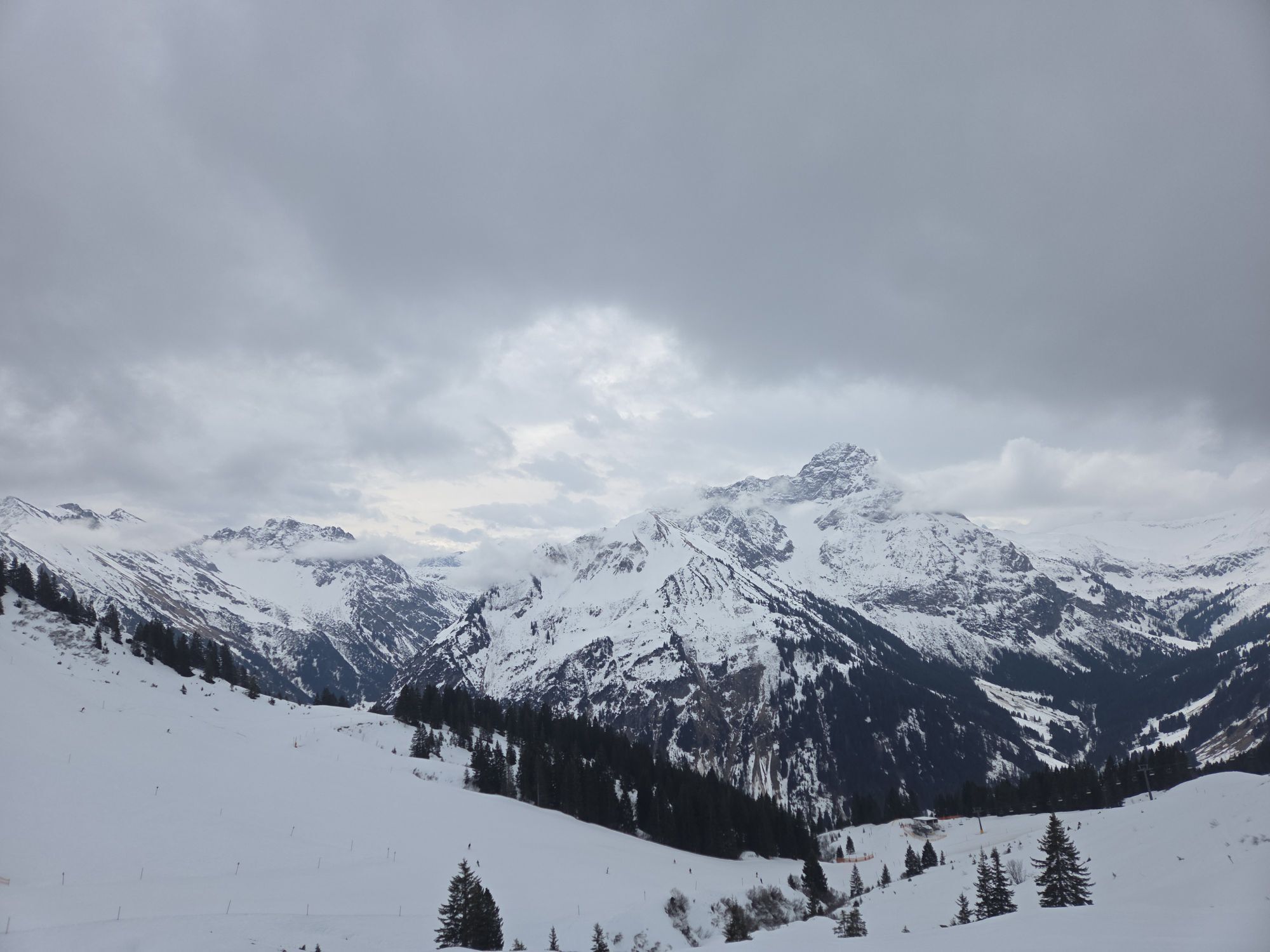
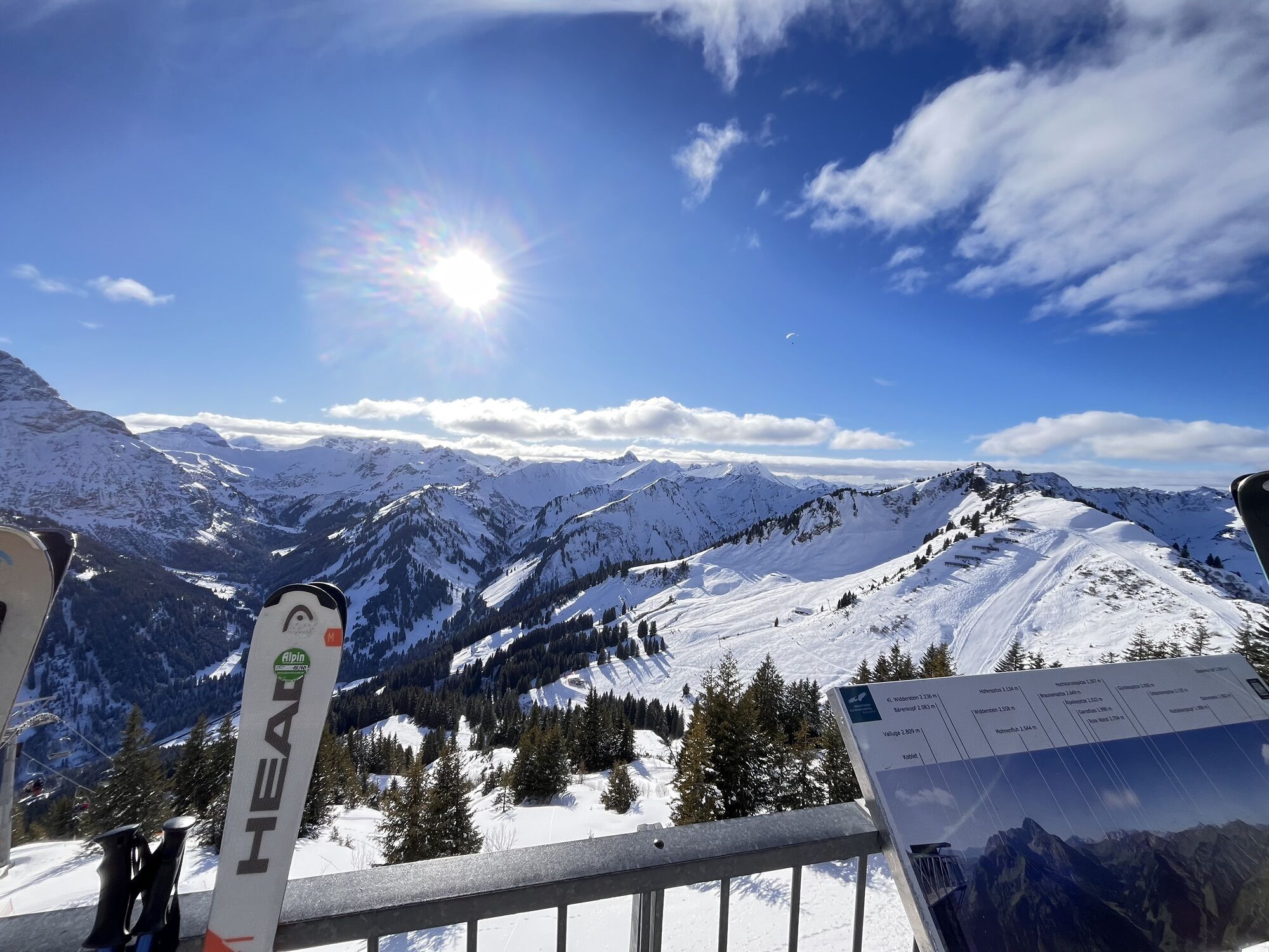
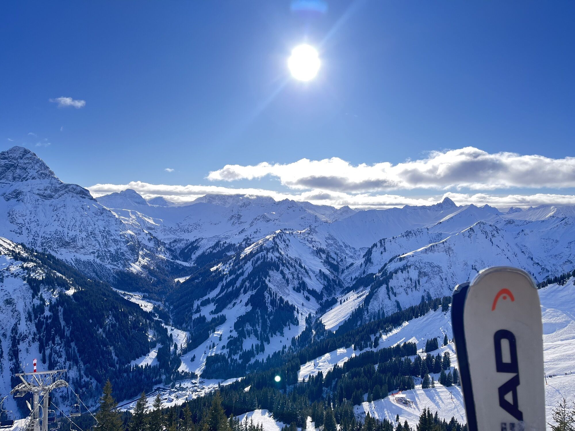
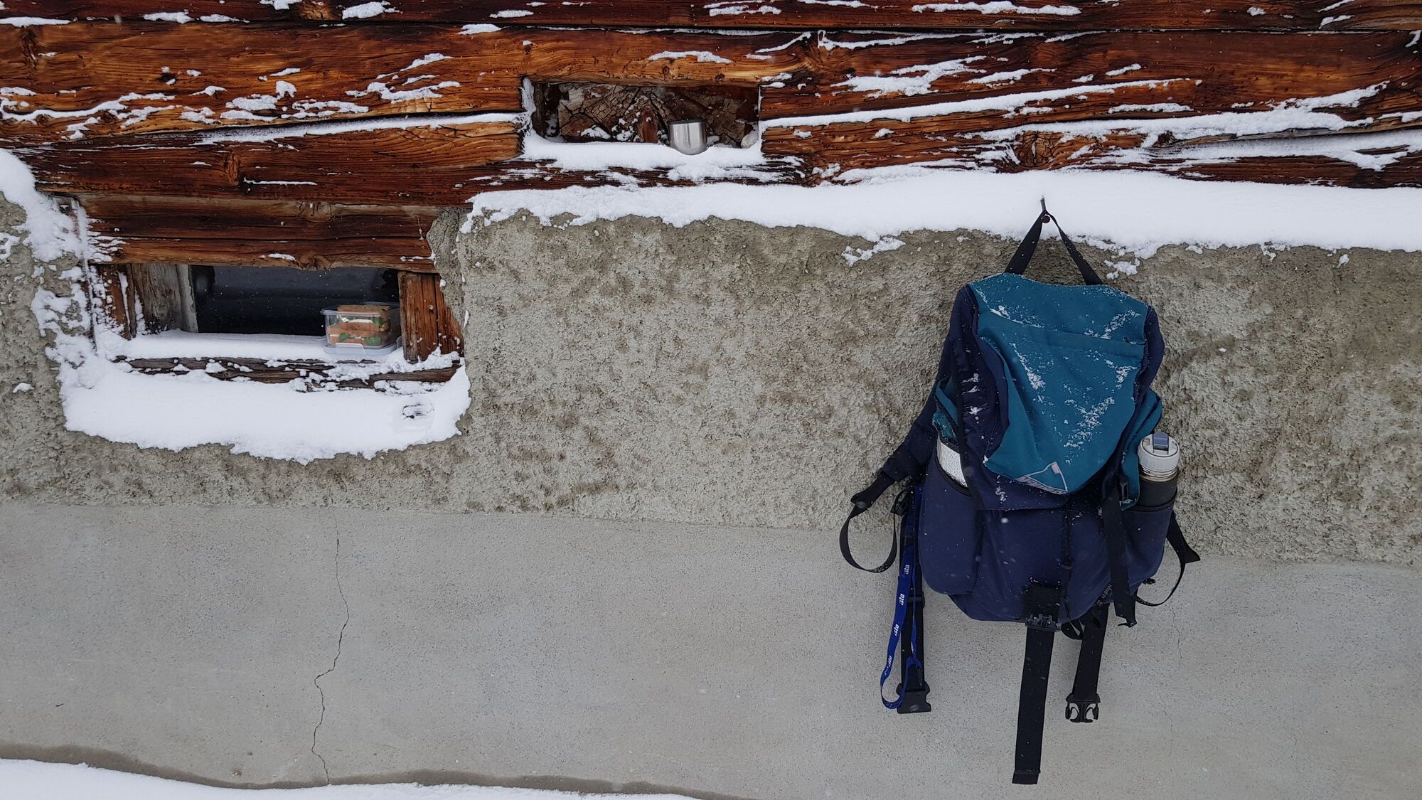
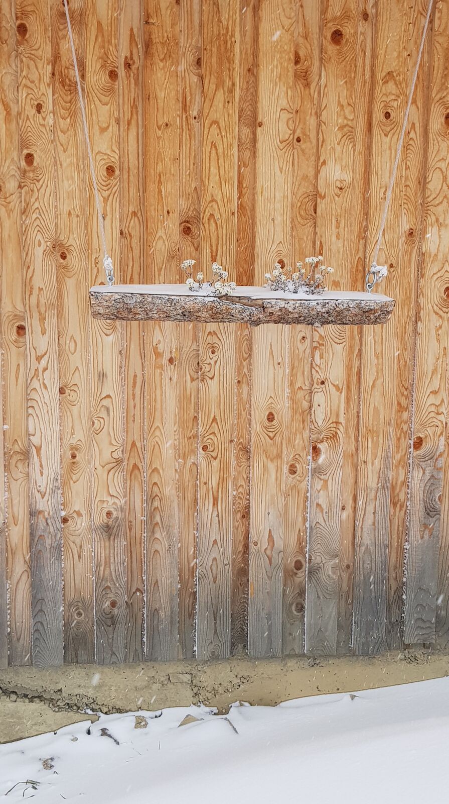
Ruta
Gipfelrestaurant Walmendingerhorn
(1.946 m)
Restaurante
0,0 km
Lüchlekopf
(1.989 m)
Cumbre
1,9 km
Östlicher Ochsenhofer Kopf
(1.959 m)
Cumbre
2,5 km
Westlicher Ochsenhofer Kopf
(1.950 m)
Cumbre
3,4 km
Grünhorn
(2.039 m)
Cumbre
4,8 km
Gipfelrestaurant Walmendingerhorn
(1.946 m)
Restaurante
10,5 km
Ruta
Gipfelrestaurant Walmendingerhorn - Muttelbergkopf - Östlicher Ochsenhofer Kopf - Grünhorn
medio
Senderismo
10,54
km
Gipfelrestaurant Walmendingerhorn
(1.946 m)
Restaurante
0,0 km
Walmendingerhornbahn
(1.946 m)
Estación de góndola
0,0 km
Muttelberg Sessellift
(1.885 m)
Estación de góndola
1,3 km
Lüchlekopf
(1.989 m)
Cumbre
1,9 km
Östlicher Ochsenhofer Kopf
(1.959 m)
Cumbre
2,5 km
Westlicher Ochsenhofer Kopf
(1.950 m)
Cumbre
3,4 km
Grünhorn
(2.039 m)
Cumbre
4,8 km
Innere Stierhofalpe
(1.688 m)
Restaurante
7,3 km
Walmendingerhornbahn
(1.946 m)
Estación de góndola
10,4 km
Gipfelrestaurant Walmendingerhorn
(1.946 m)
Restaurante
10,5 km
Autor
Proporcionado por Bergfex Tour Generator

Compartir gira
Gipfelrestaurant Walmendingerhorn - Muttelbergkopf - Östlicher Ochsenhofer Kopf - Grünhorn
medio
Senderismo
10,54
km
Error
Se ha producido un error. Por favor, inténtelo de nuevo.

Valoraciones
1 Comentario

Marco Schmidt 3

12. ago.. 2025
Gratwanderung Walmendinger Horn
Tolle Bergkulisse, wunderschöner Gratweg, aber auch anspruchsvoll, da teilweise felsig.
Für Geübte absolut empfehlenswert!
Webcams del recorrido
-
Diedamskopf Mittelstation / Wedelstube
-
Diedamskopf Bergstation
-
Hahnenköpflebahn Bergstation / Ifenbergbahn
-
Hirschegg - Naturhotel Chesa Valisa
-
Zaferna Bergstation
-
Breitenalpe
-
Wildentalhütte
-
Mittelberg - Naturhotel Lärchenhof
-
Hirschegg - Hotel Walserhof
-
Hirschegg - Hotel Birkenhöhe
-
Hirschegg - Hotel Sonnenberg
-
Mittelberg Bödmen - Hotel Alte Krone
-
Mittelberg - Haus Walser Berge
-
Mittelberg - Bergpension Starzelhaus
-
Mittelberg - Gästehaus Otto Fritz
-
Walmendingerhorn
-
Walmendingerhorn
-
Kleinwalsertal
-
Ifenbahn Bergstation
-
Ifenbahn Bergstation
-
Hirschegg - Hotel Birkenhöhe
-
Kleinwalsertal - Ifenbahn
-
Naturhotel Chesa Valisa
-
Kleinwalsertaler Rosenhof
-
Gästehaus Panorama
-
Alpenwald
-
Haus Berg & Tal / Hirschegg
-
Hotel Alpenstüble
-
Mittelberg
-
Parsennbahn - Kleinwalsertal
Infórmate
Siempre en directo con más de 9.500 webcams. bergfex Como usuario Pro, ahora puede ver las webcams correspondientes a muchos tours en la app de tours desde. Esto le permite ver las condiciones actuales directamente.
Rutas populares en los alrededores
-
4,0
Kanisfluh, 2.044 m
medioSenderismo 4,41 km -
4,4
Ruta de montaña sobre la cresta del Fellhorn
medioSenderismo 8,24 km -
4,7
Widderstein Runde von Baad
medioSenderismo 15,8 km -
4,3
Recorrido circular por el valle Bärgunttal
medioSenderismo 4,75 km -
4,4
Kanzelwand- Fellhorn- Kanzelwand
luzSenderismo 7,60 km -
4,6
Breitachklamm Rundweg (Alpe Dornach)
medioSenderismo 7,65 km -
4,8
Biberkopf
pesadoSenderismo 7,70 km -
4,1
Winter circular hike through the Breitachklamm gorge
medioSenderismo de invierno 5,66 km -
4,2
Excursión por el valle Schwarzwassertal pasando por Melköde hasta Schwarzwasserhütte
medioSenderismo 5,08 km -
5,0
Winterstaude
medioSenderismo 9,30 km
Senderismo y rastreo

Más de 550.000 sugerencias de excursiones, mapas detallados y un intuitivo planificador de rutas hacen de esta aplicación una herramienta imprescindible para todos los amantes de la naturaleza.

No se pierda las ofertas y la inspiración para sus próximas vacaciones
Suscribirse al boletín de noticias
Error
Se ha producido un error. Por favor, inténtelo de nuevo.
Gracias por inscribirse
Su dirección de correo electrónico se ha añadido a la lista de correo.
Viajes por Europa
Austria
Suiza
Alemania
Italia
Eslovenia
Francia
Países Bajos
Belgium
Polonia
Liechtenstein
República Checa
Slovakia
España
Croacia
Bosnia y Herzegovina
Luxemburgo
Andorra
Portugal
Iceland
United Kingdom
Ireland
Greece
Albania
North Macedonia
Malta
Norway
Montenegro
Moldova
Kosovo
Hungary
San Marino
Romania
Estonia
Latvia
Belarus
Cyprus
Lithuania
Serbia
Bulgaria
Monaco
Denmark
Sweden
Finland





