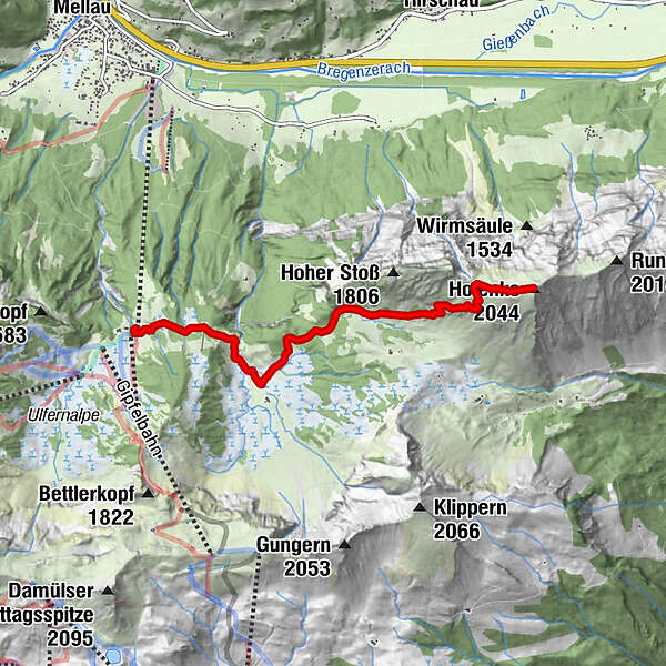
Datos del tour
4,41km
1.395 - 2.010m
Distancia
589hm
589hm
Ascenso
03:30h
 
Duración
Breve descripción

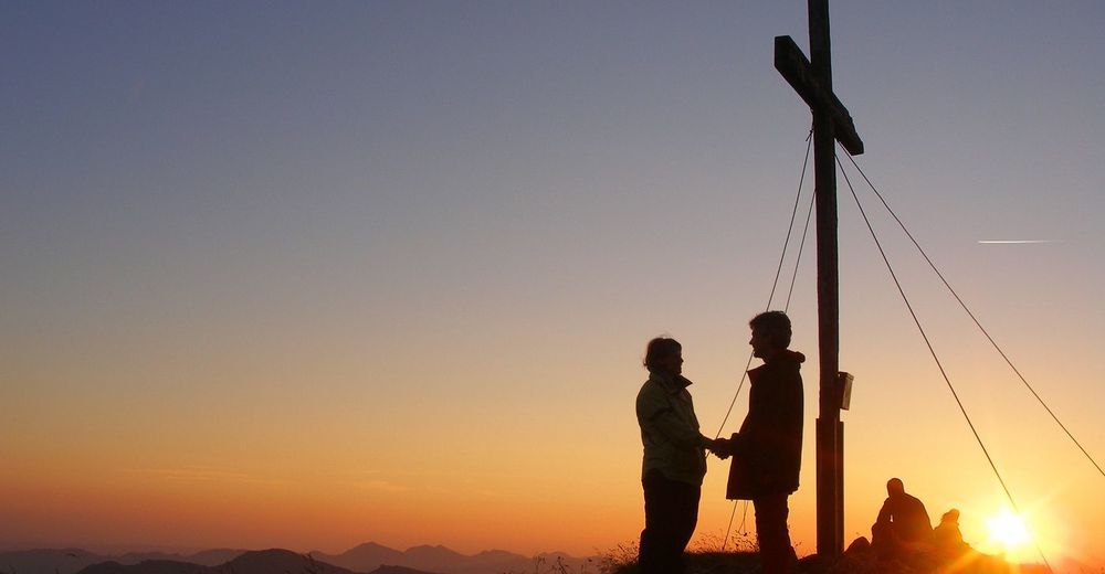
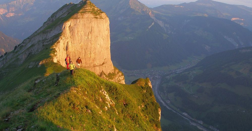
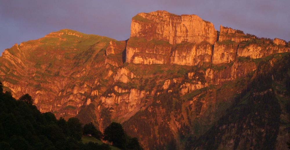
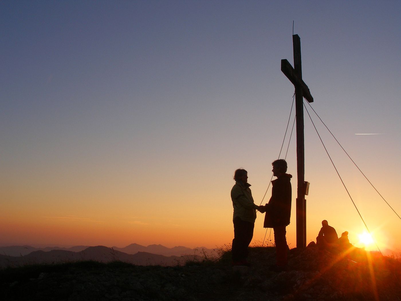
Unterwegs auf einem der schönsten und bekanntesten Aussichtsberge im Bregenzerwald.

Dificultad
medio
Valoración
Técnica
Nivel
Paisaje
Experiencias
Ruta

Punto álgido
2.010 m

3,7
Valoración global

5

44

%

4

22

%

3

0

%

2

22

%

1

11

%

GPS Downloads
  • GPX GPS Exchange Format (XML)
  • KML Google Earth, Google Maps
Códigos de descarga QR para teléfonos móviles
Más circuitos por las regiones

Excursiones opcionales por los alrededores

Üble Schlucht / Laterns

medio Senderismo
6,3km | 322hm | 02:30h

Damüls | Sünserspitze with Sünsersee

medio Senderismo
8,12km | 405hm | 03:10h

Glatthorn

medio Senderismo
6,49km | 507hm | 02:30h

Hoher Freschen

difícil Senderismo
16,13km | 1005hm | 07:00h