






Heiterwang am See - Stuibenfälle

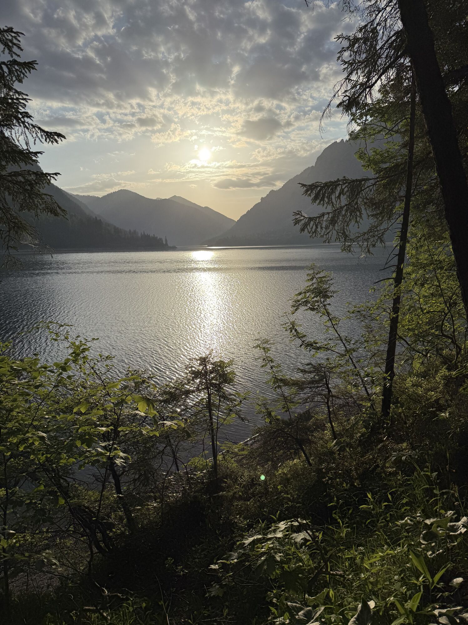
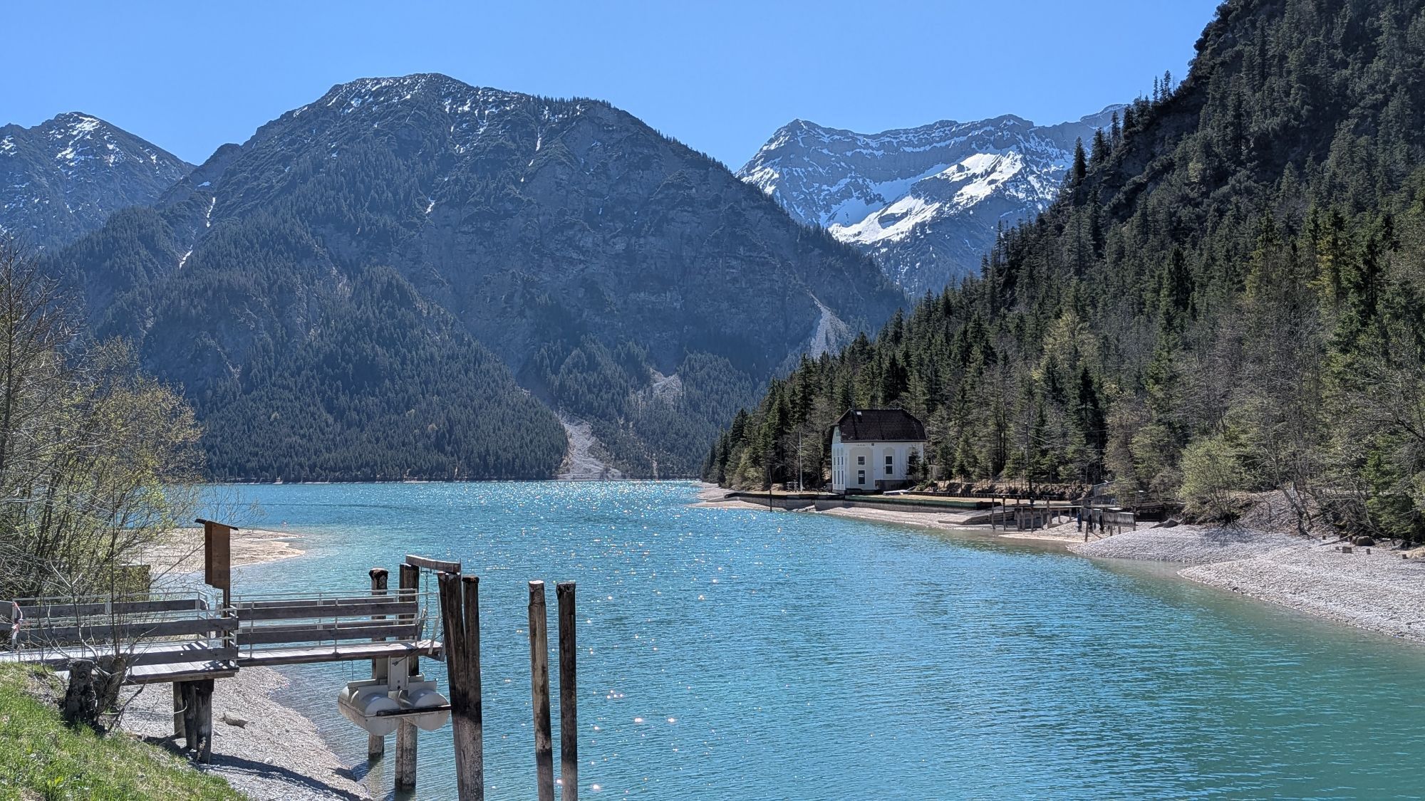
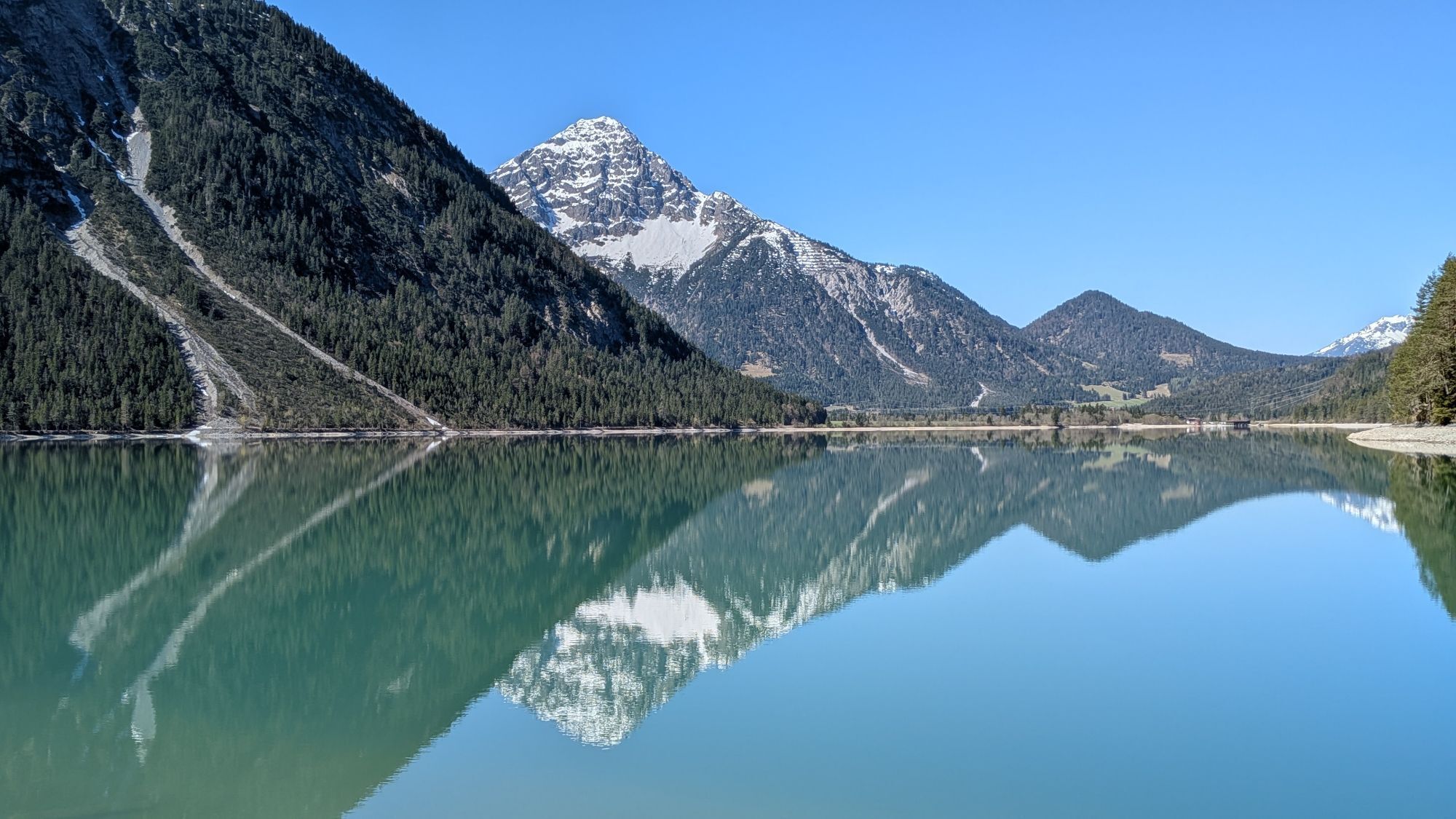
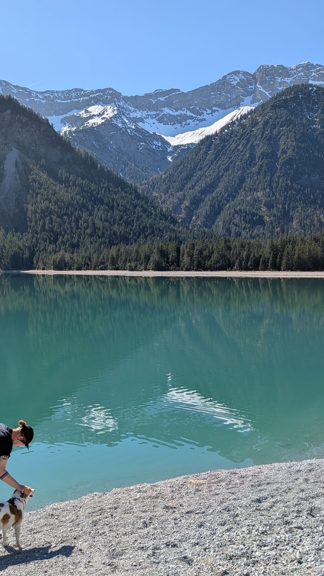
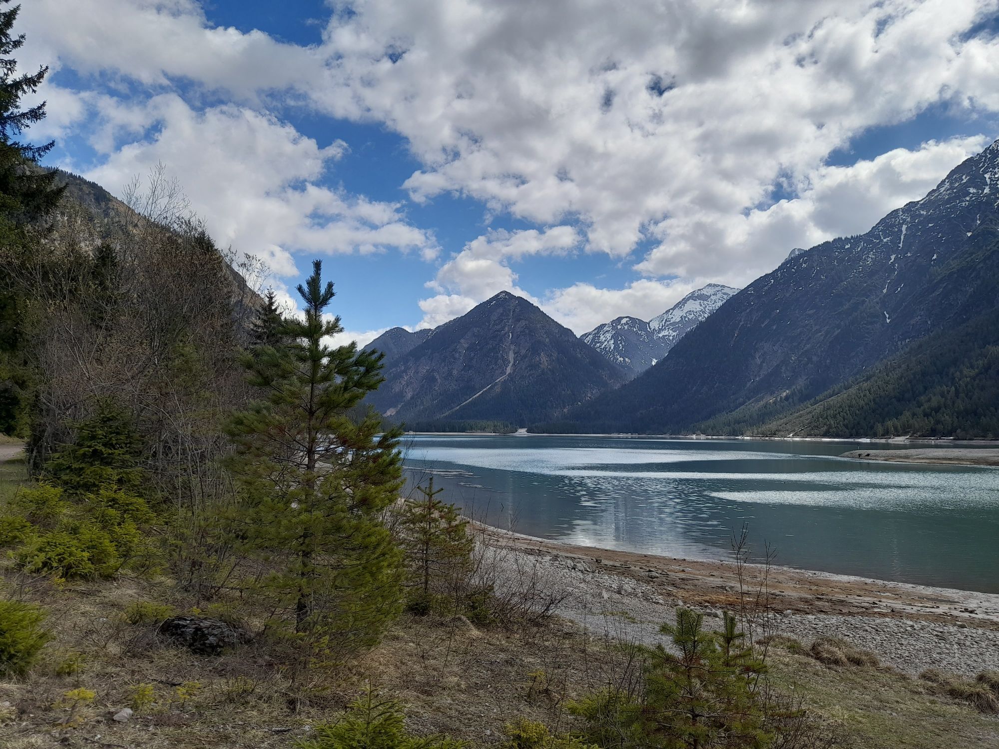
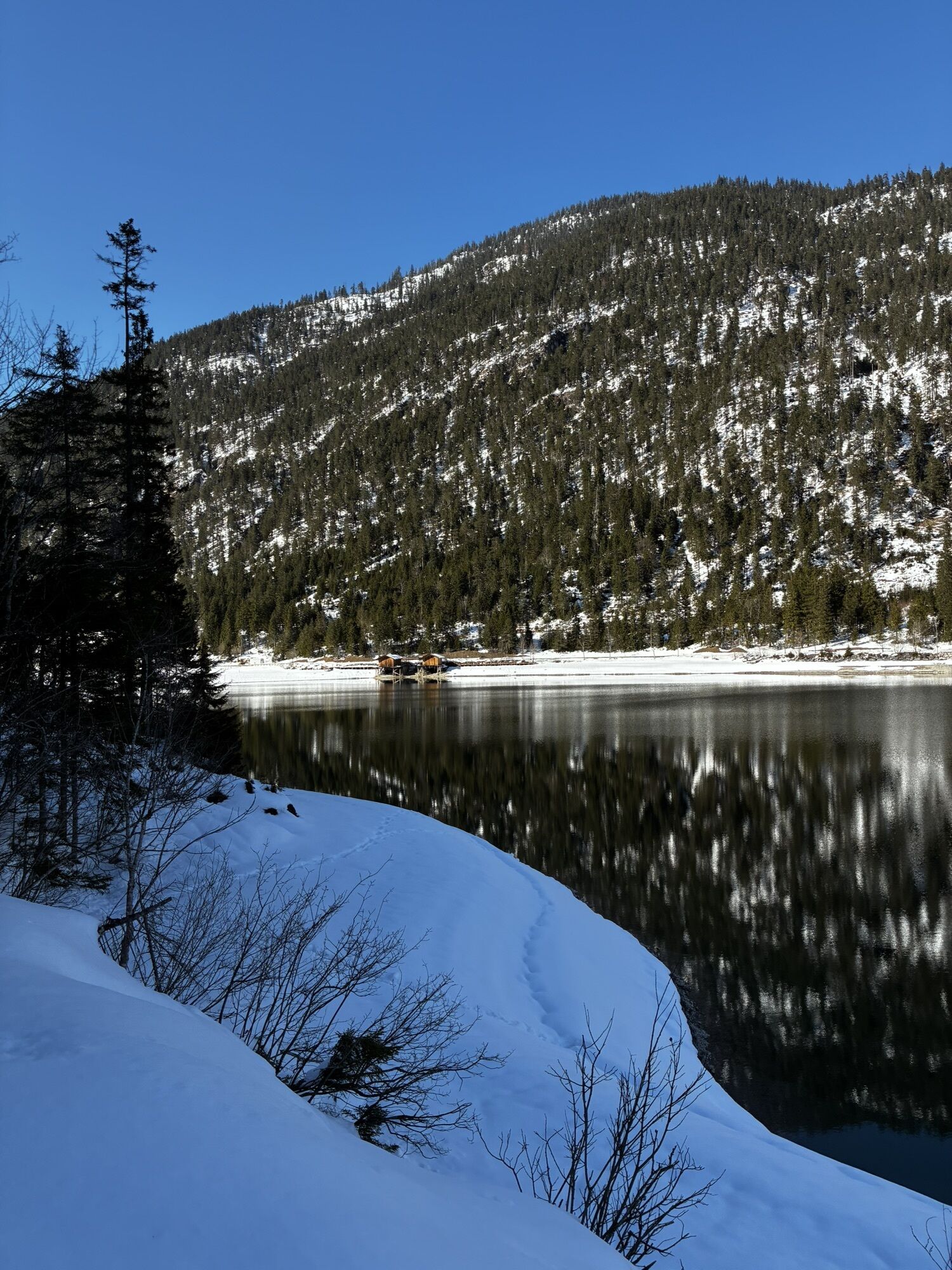
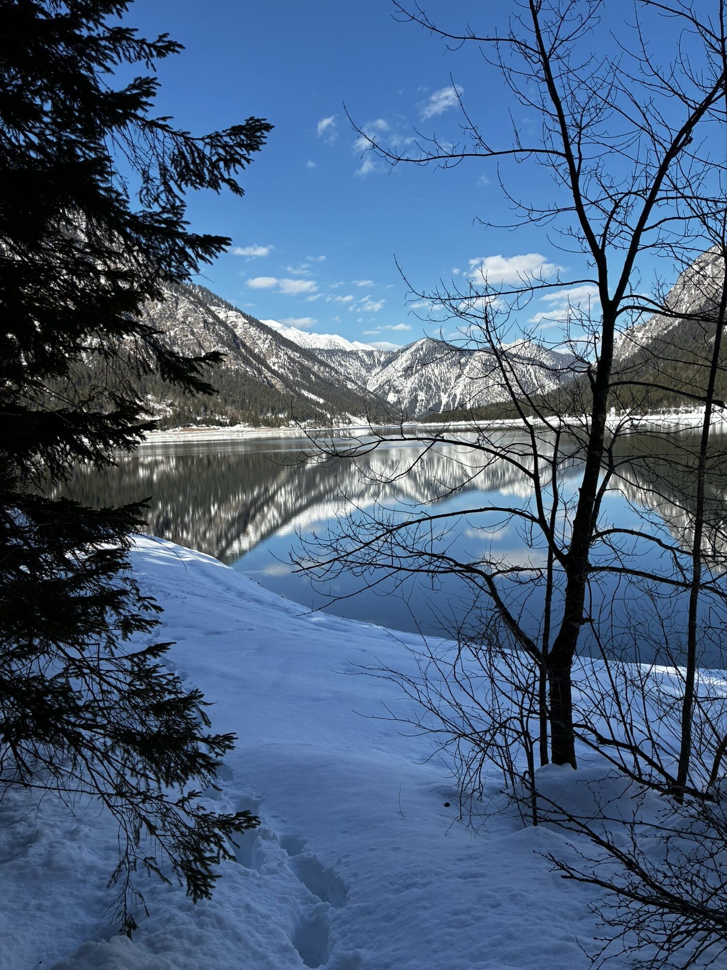
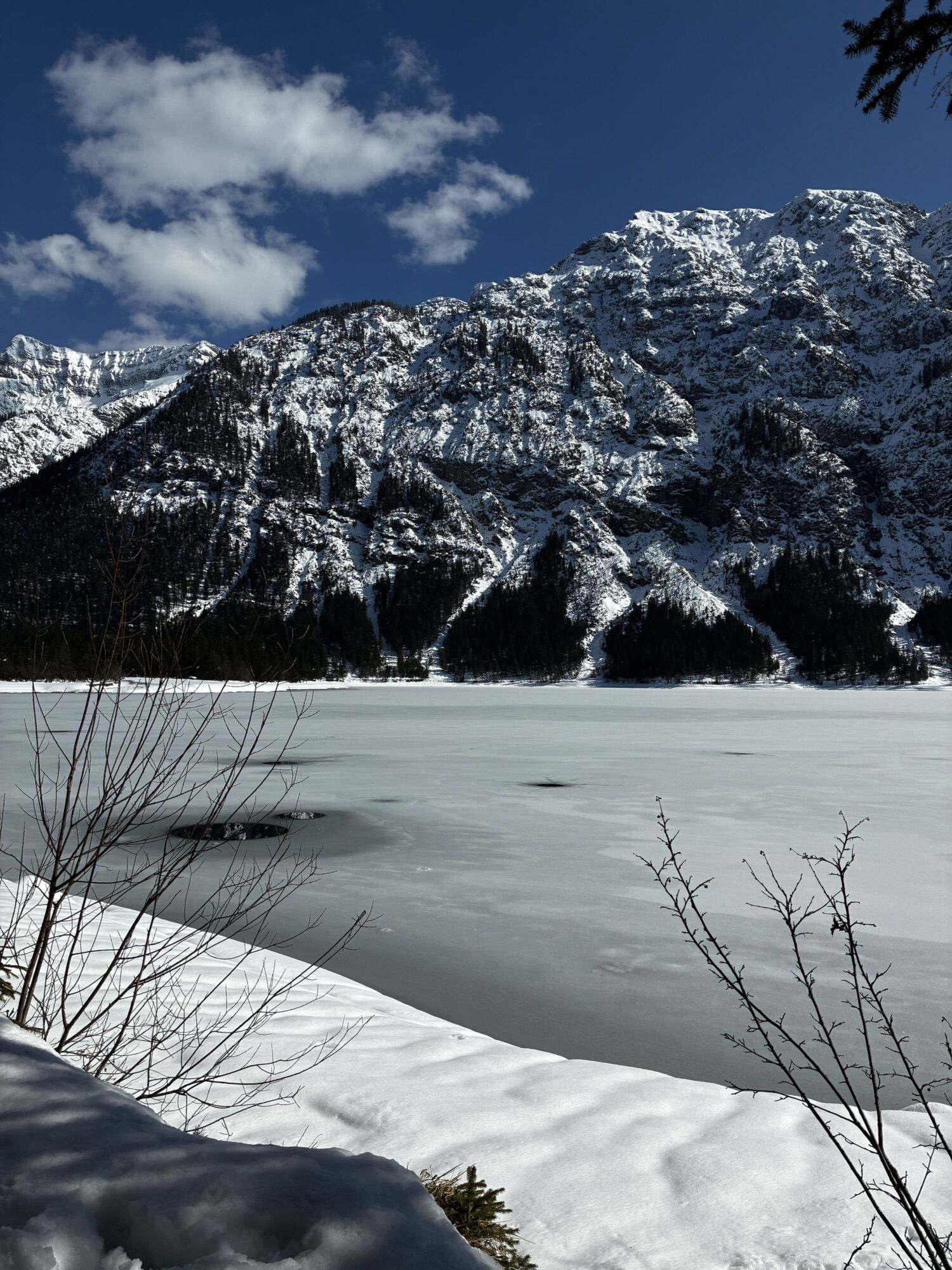
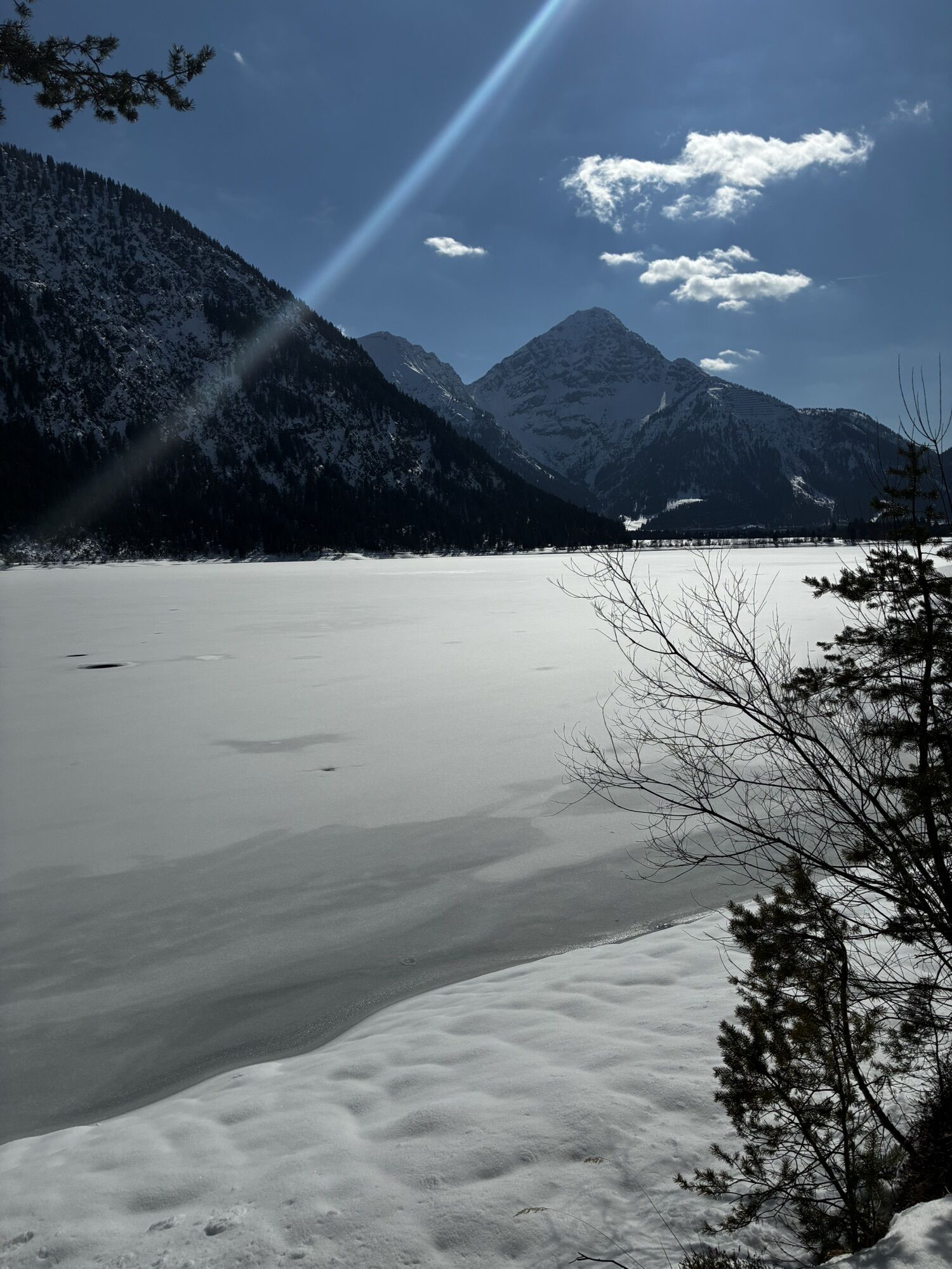
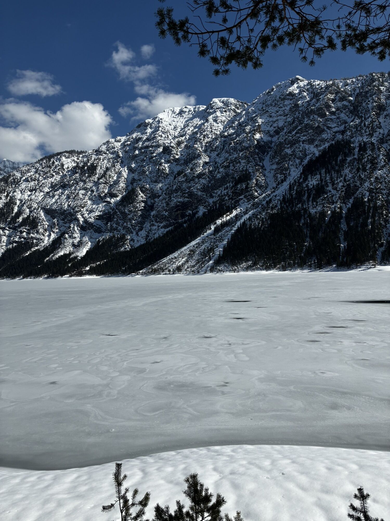
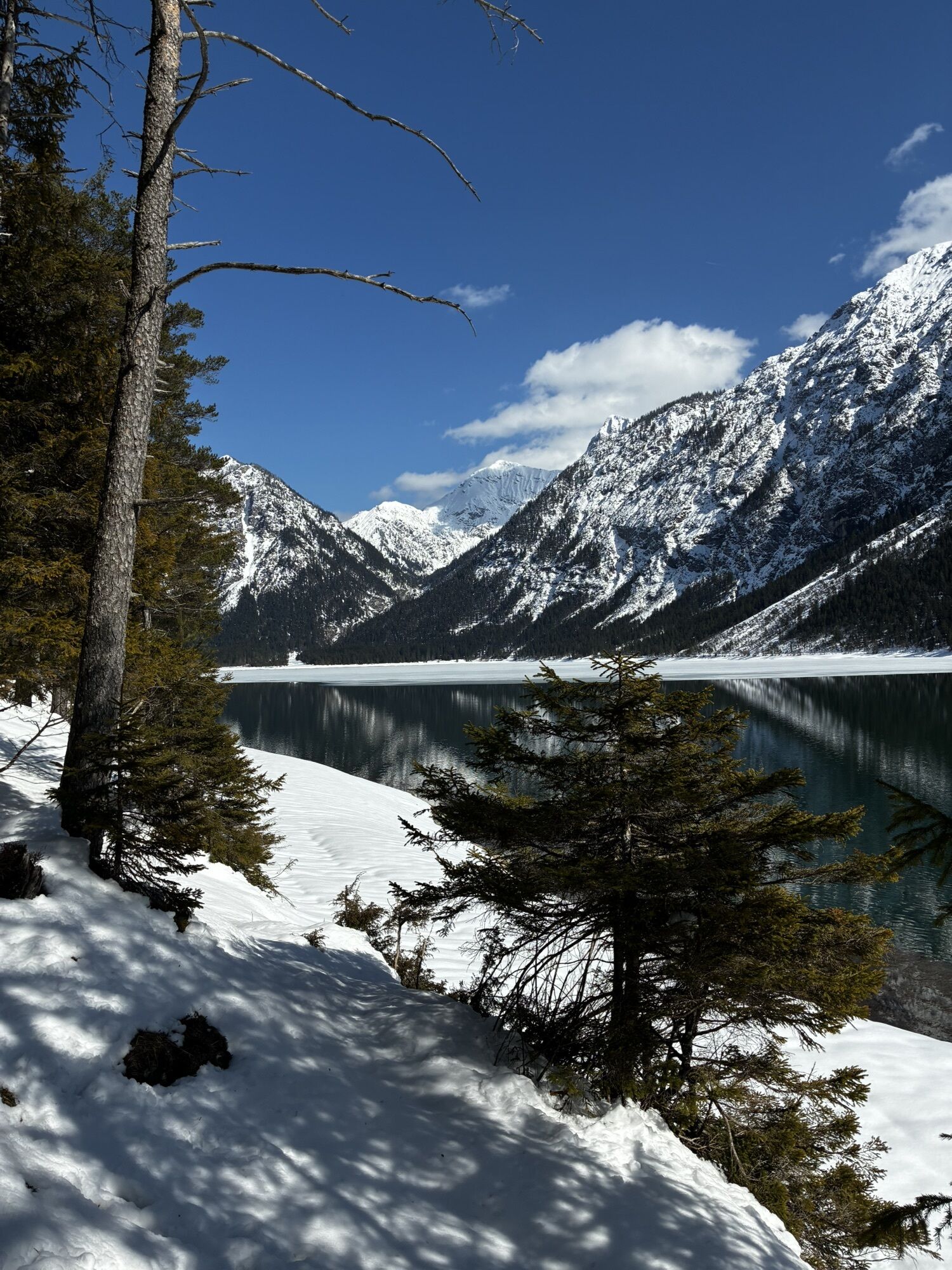
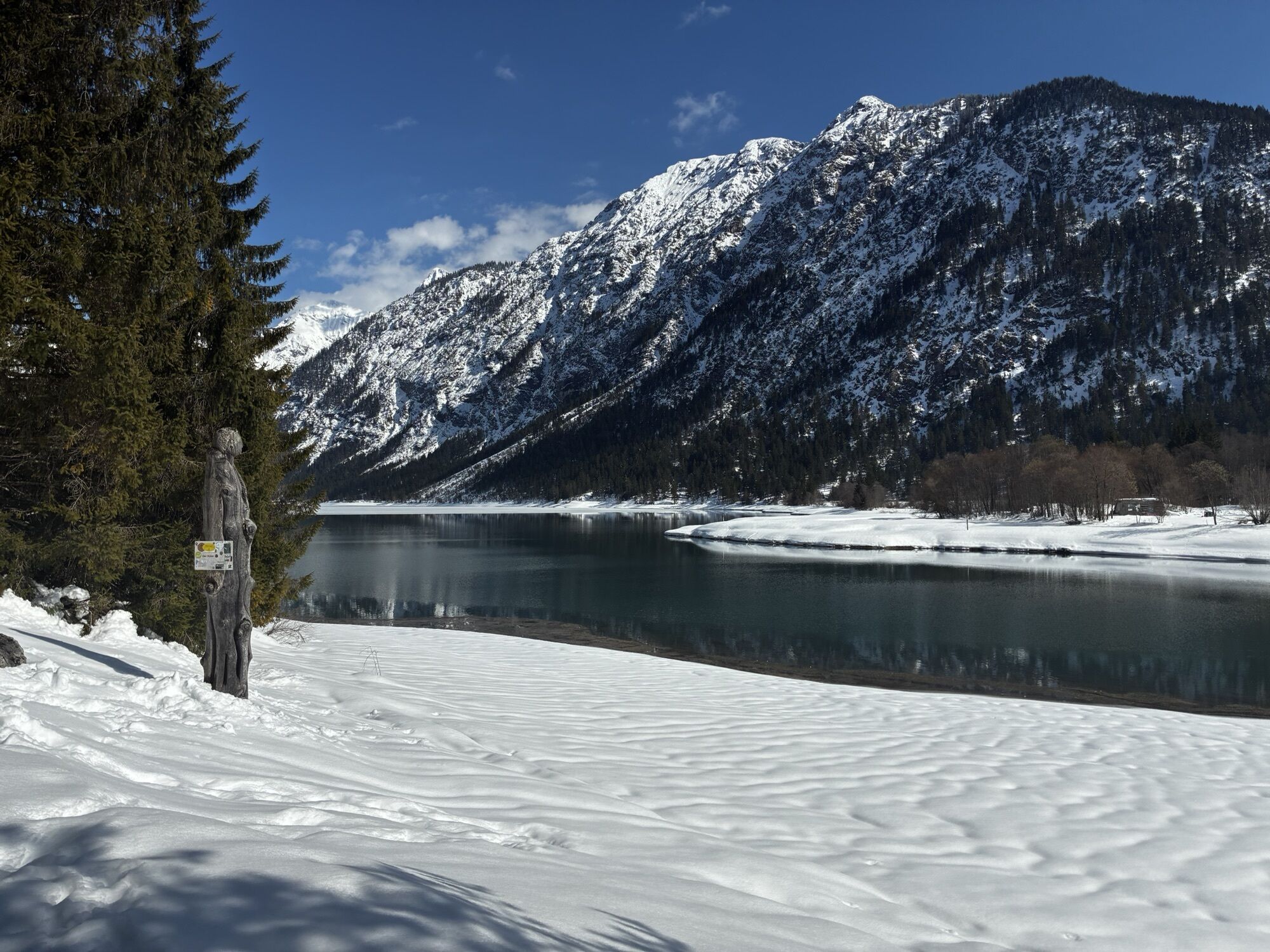
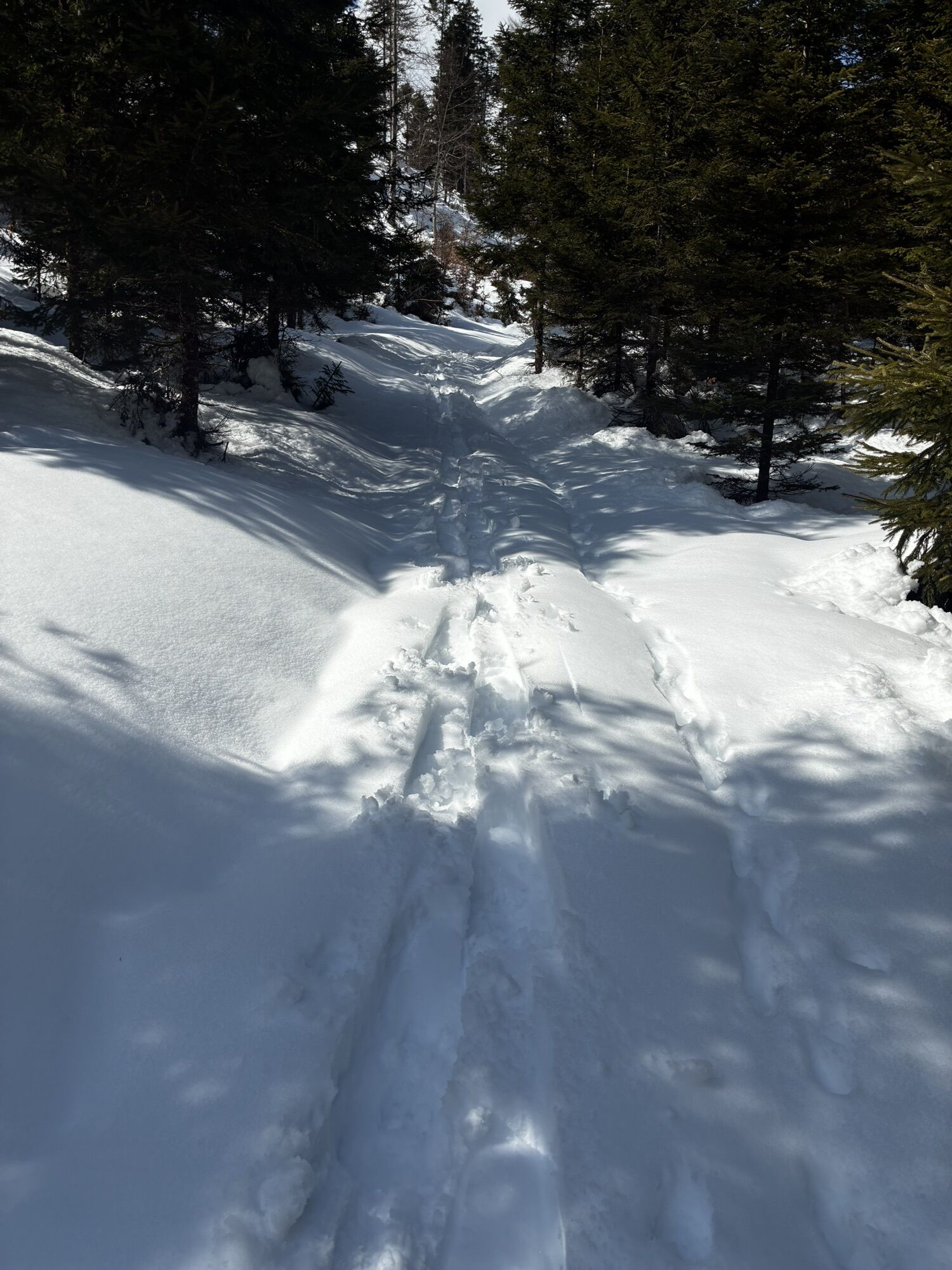
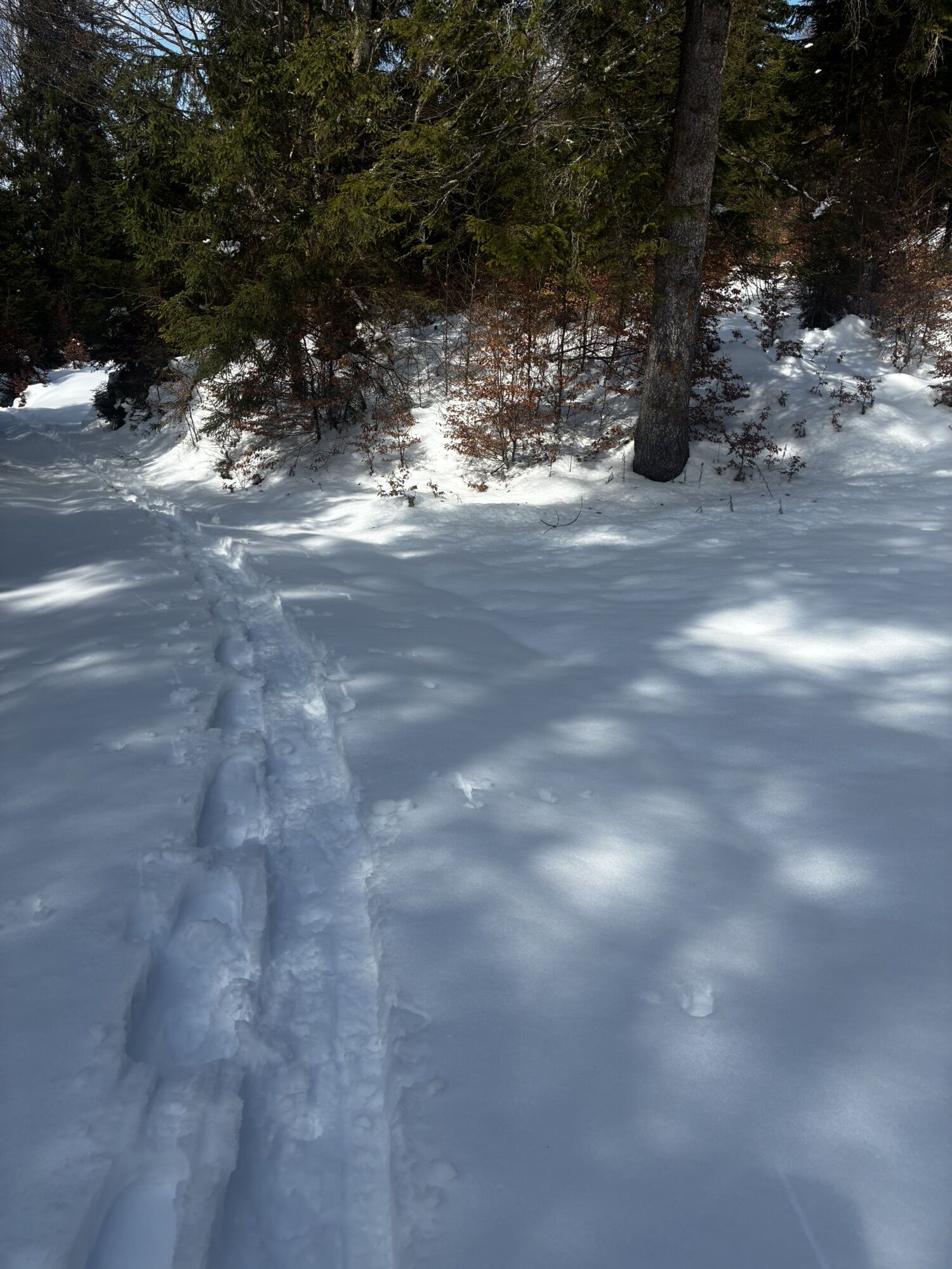
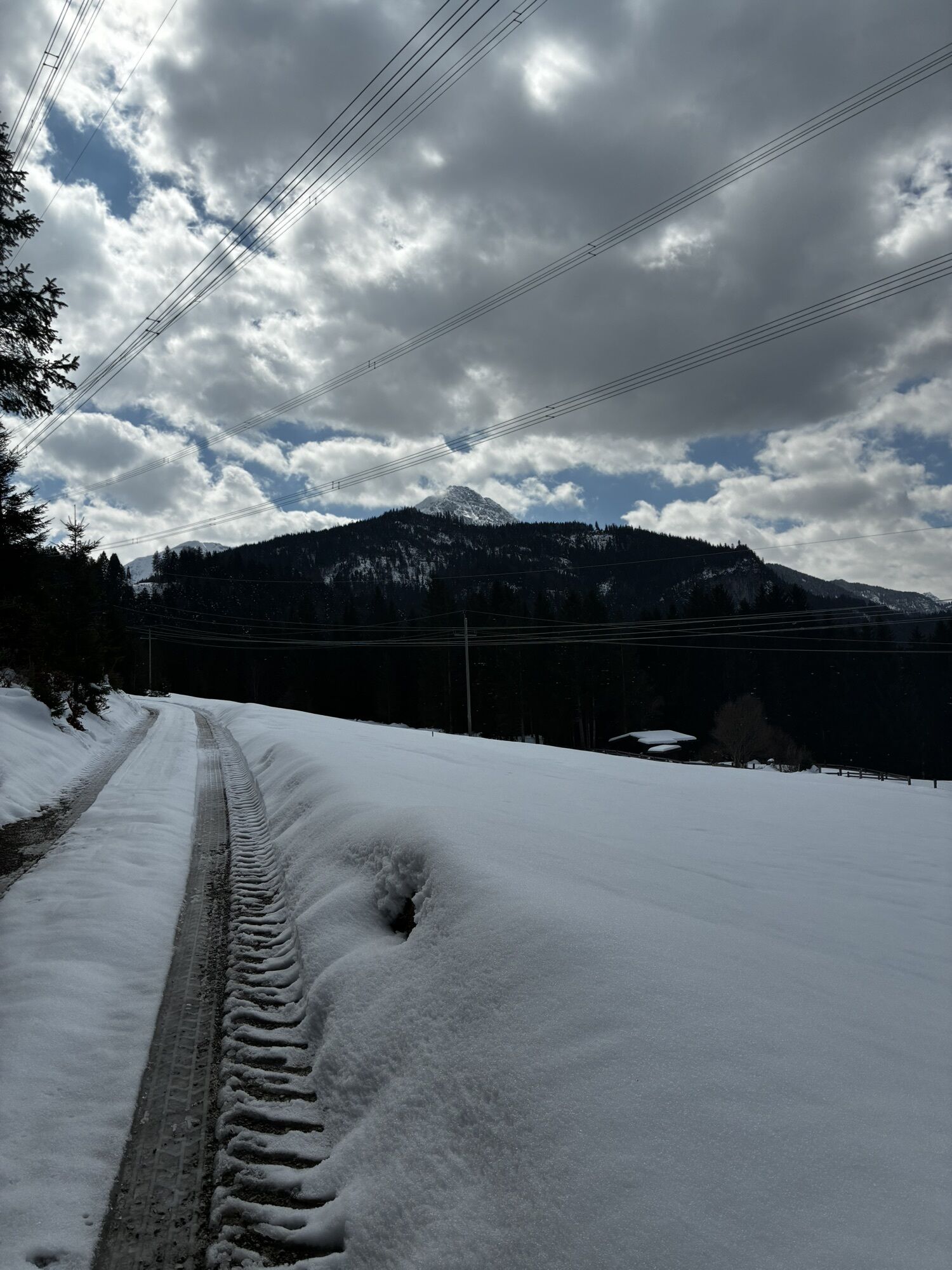
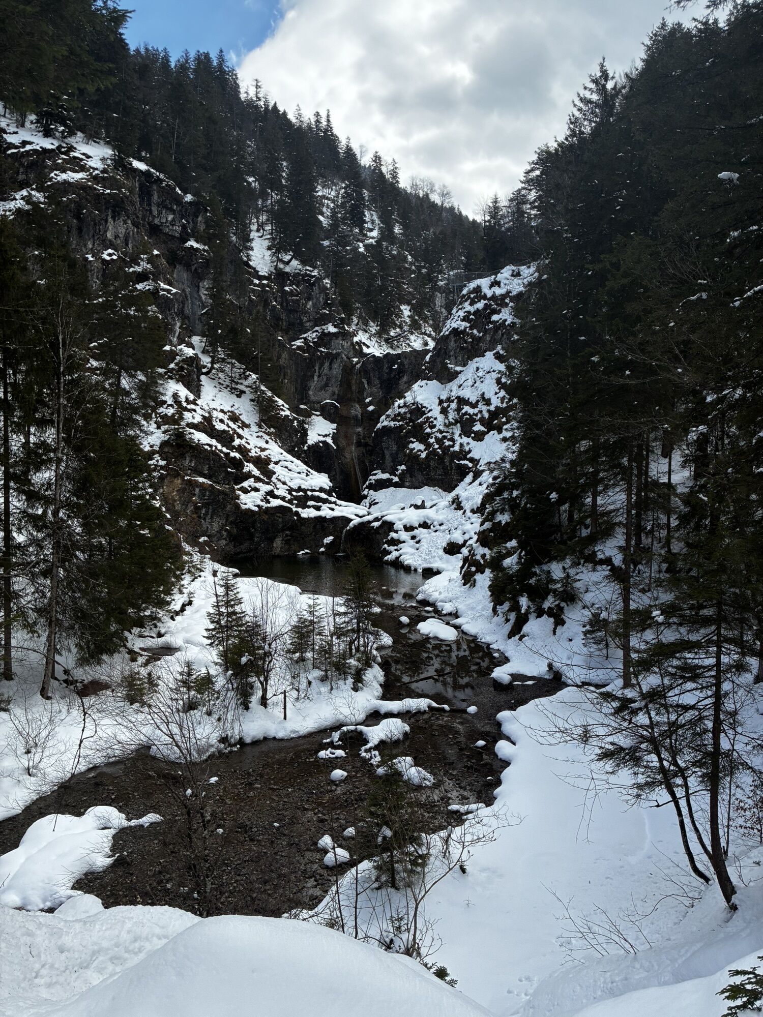
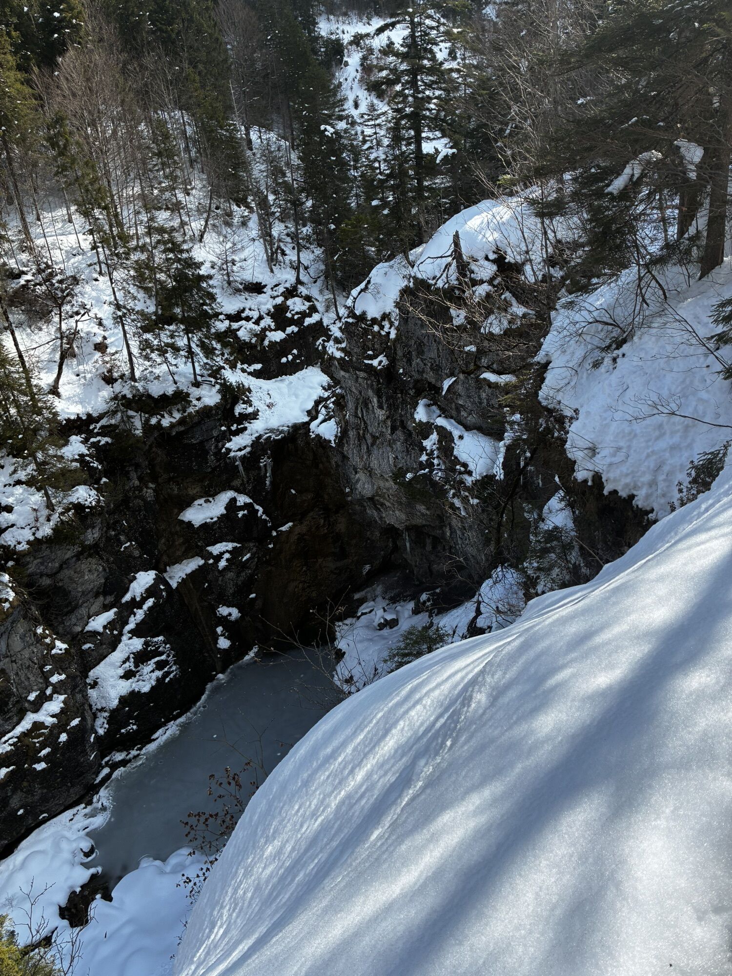
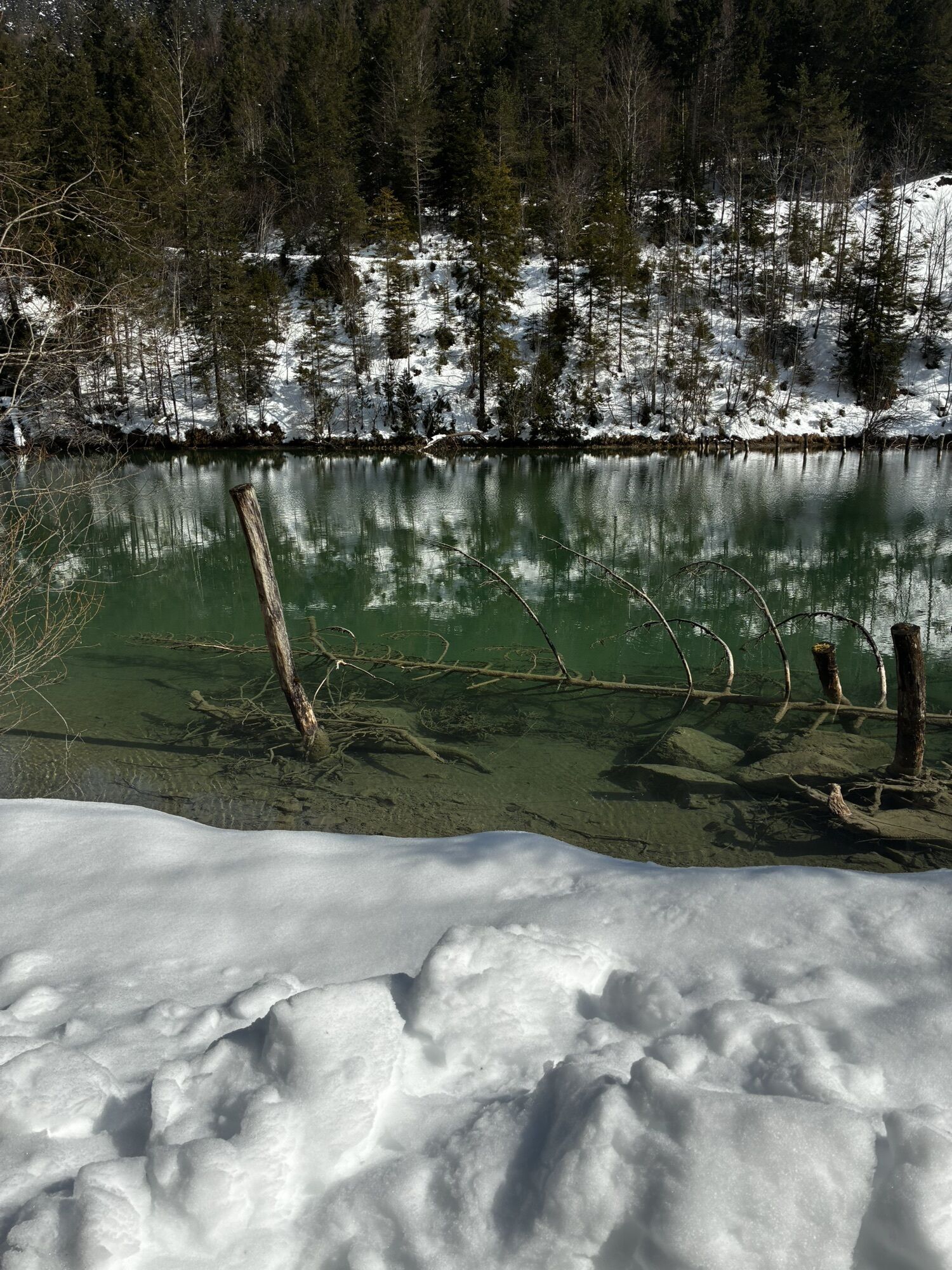
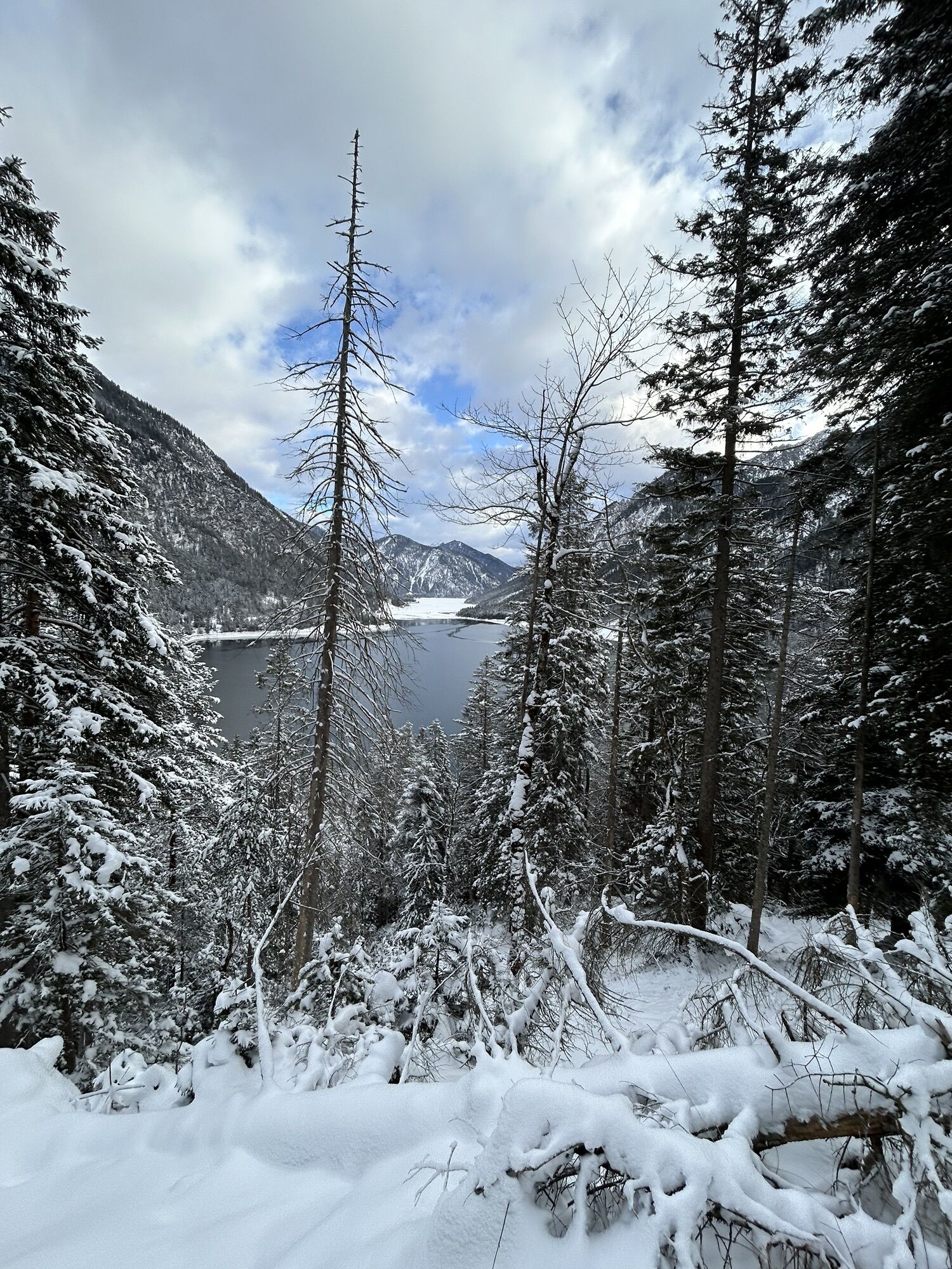
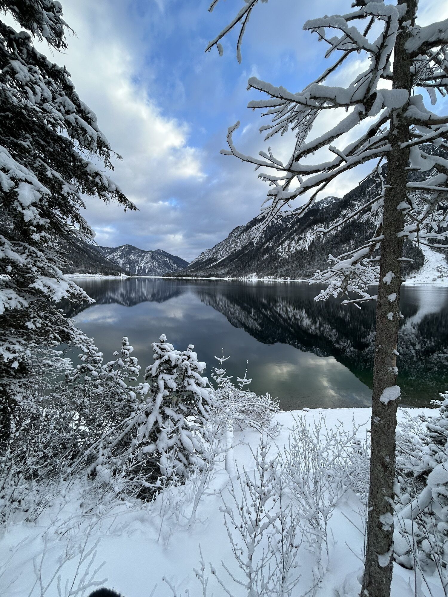
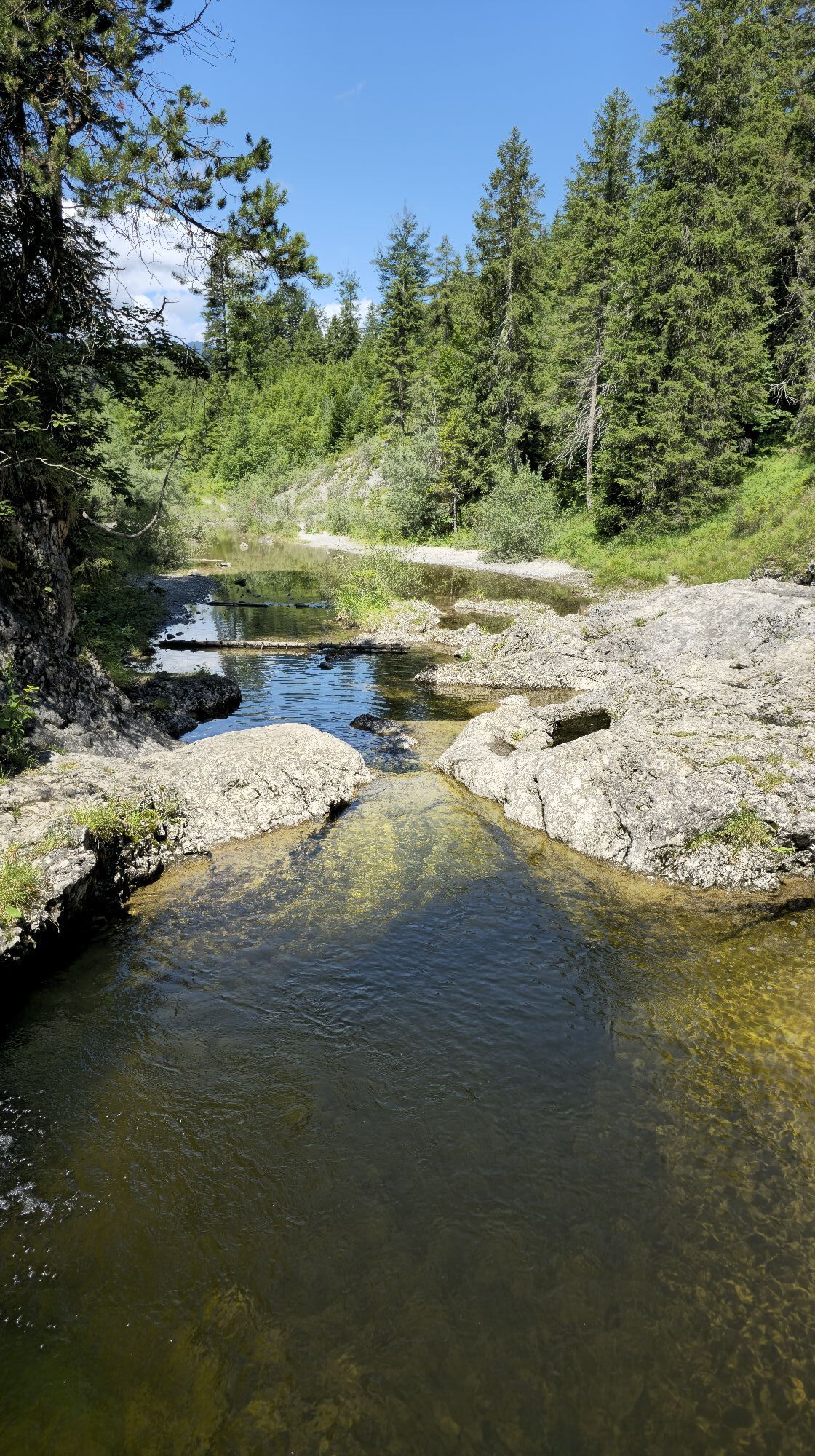
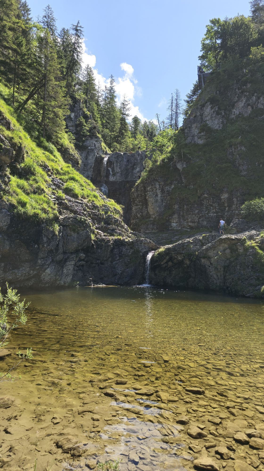

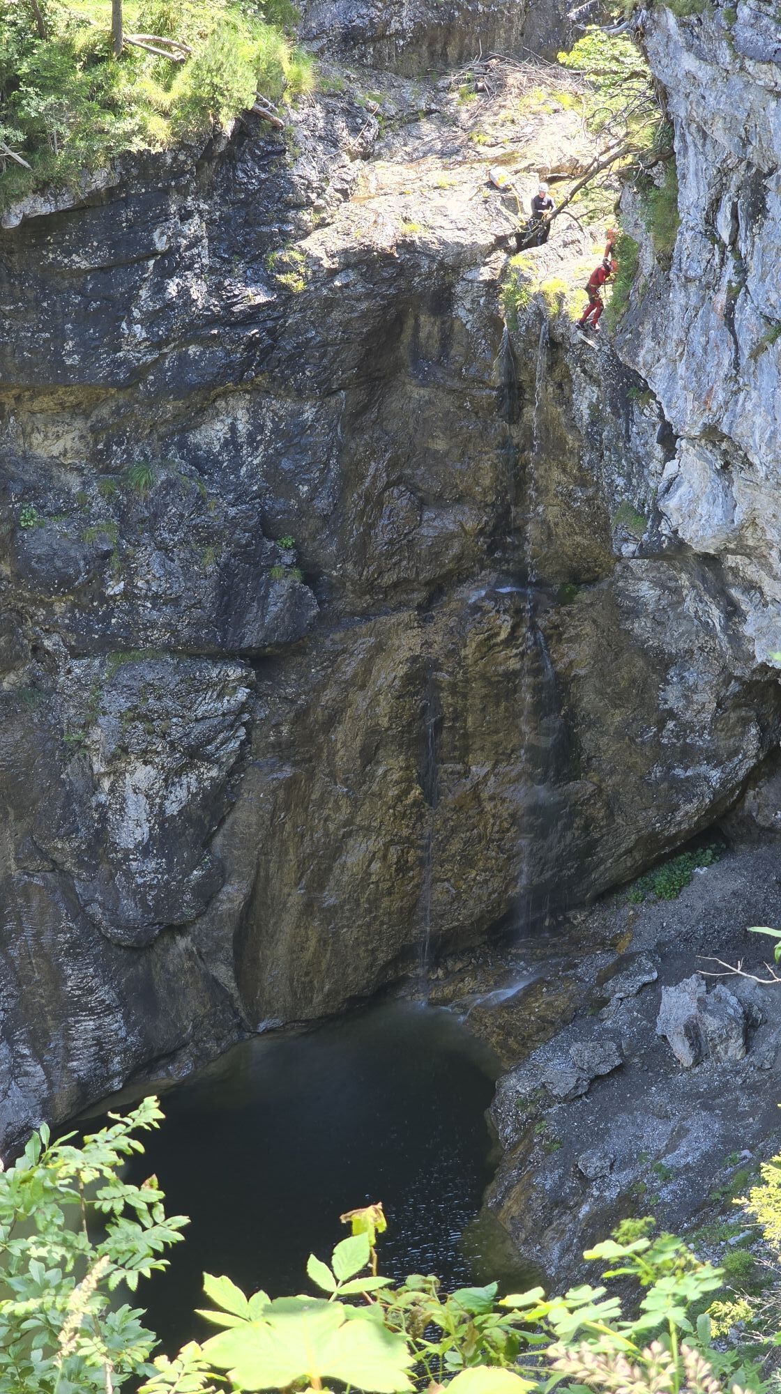
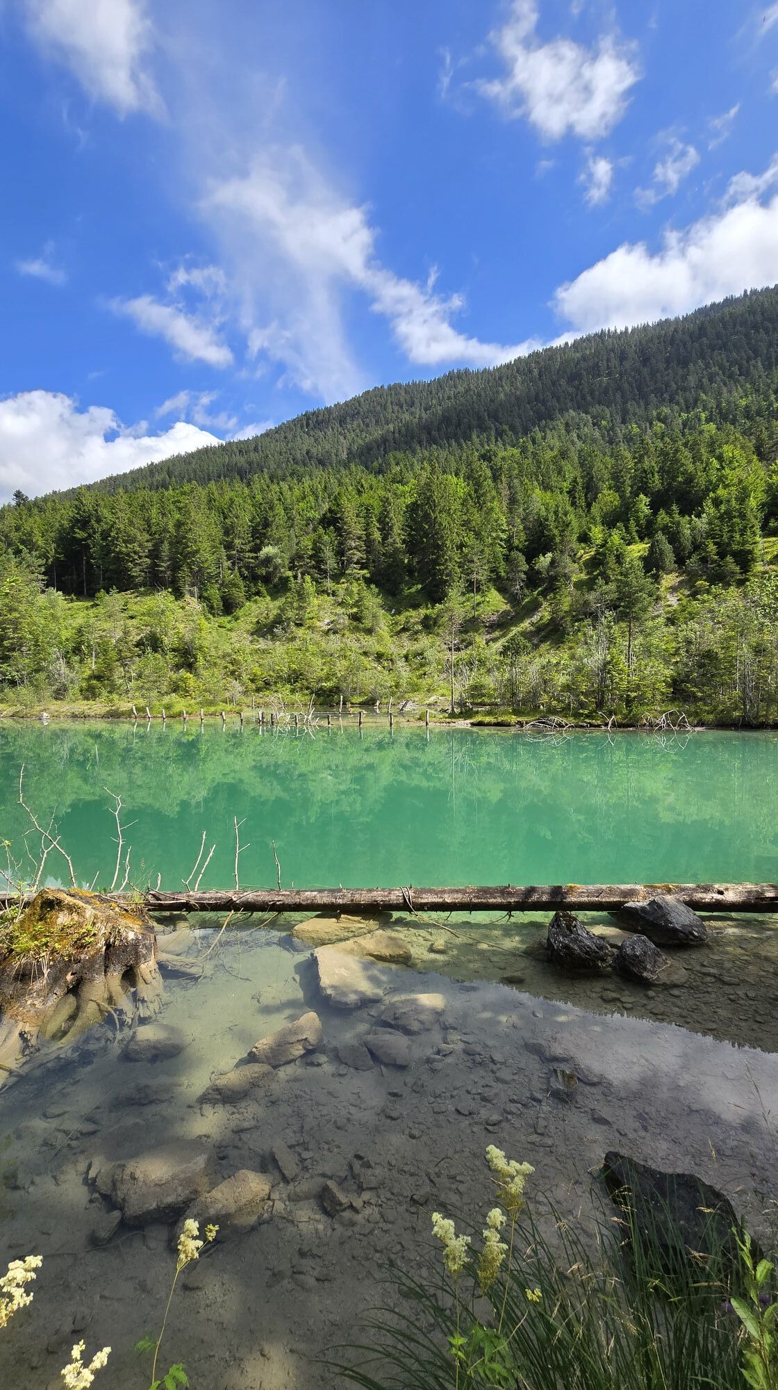
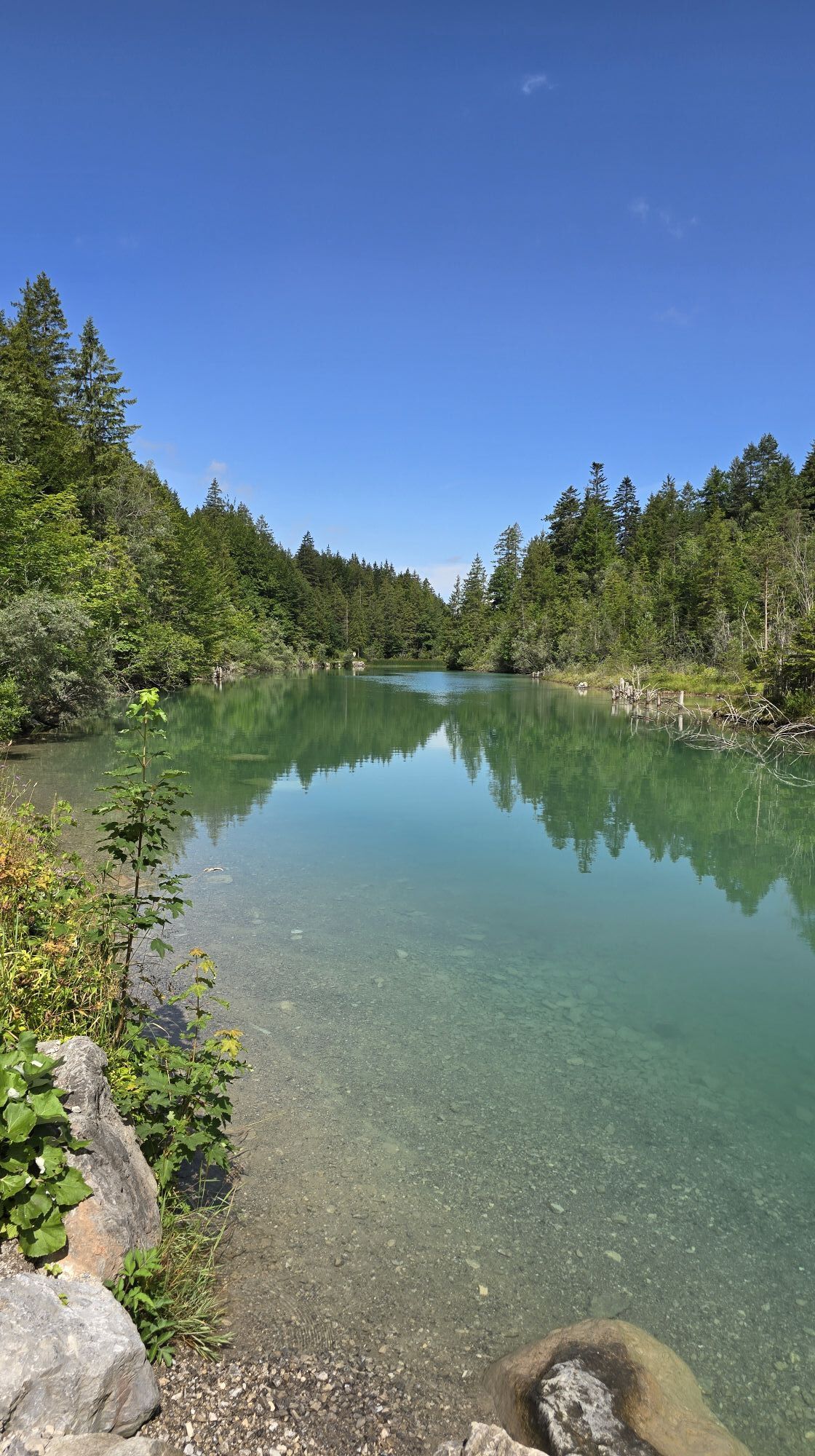
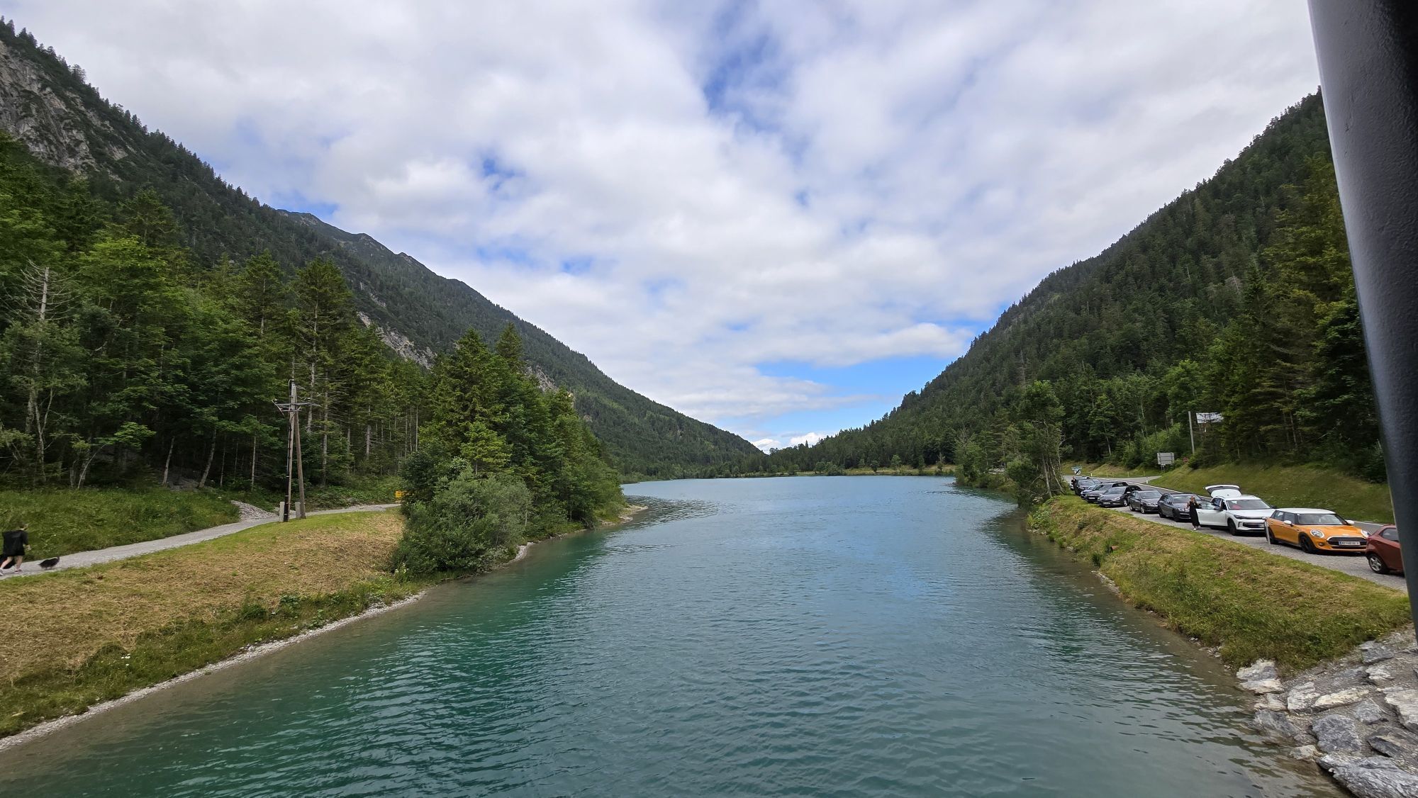
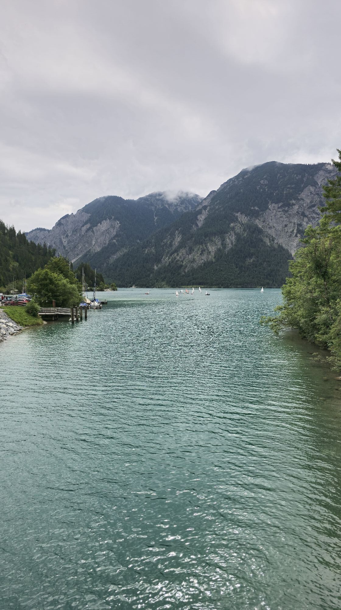
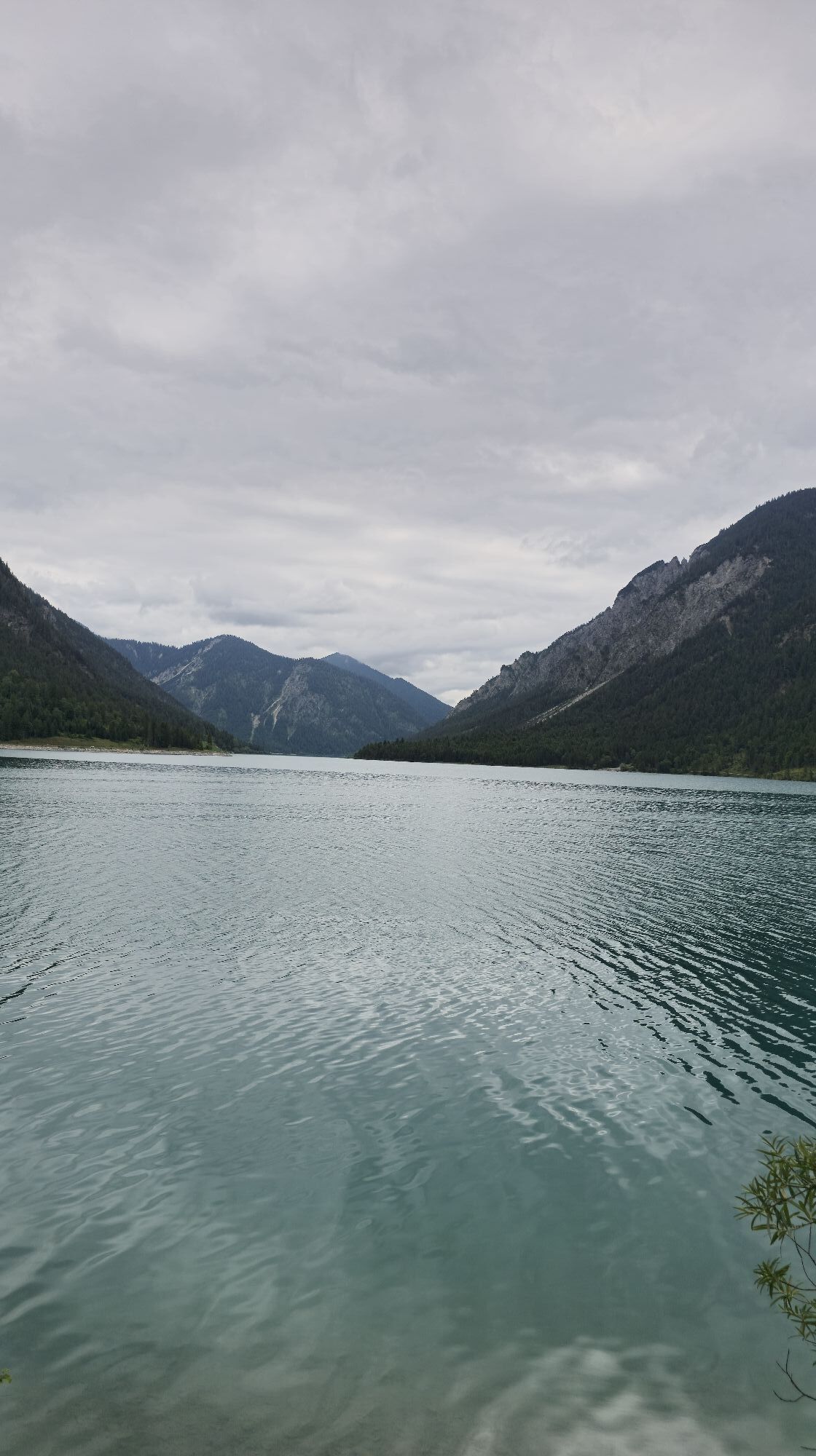
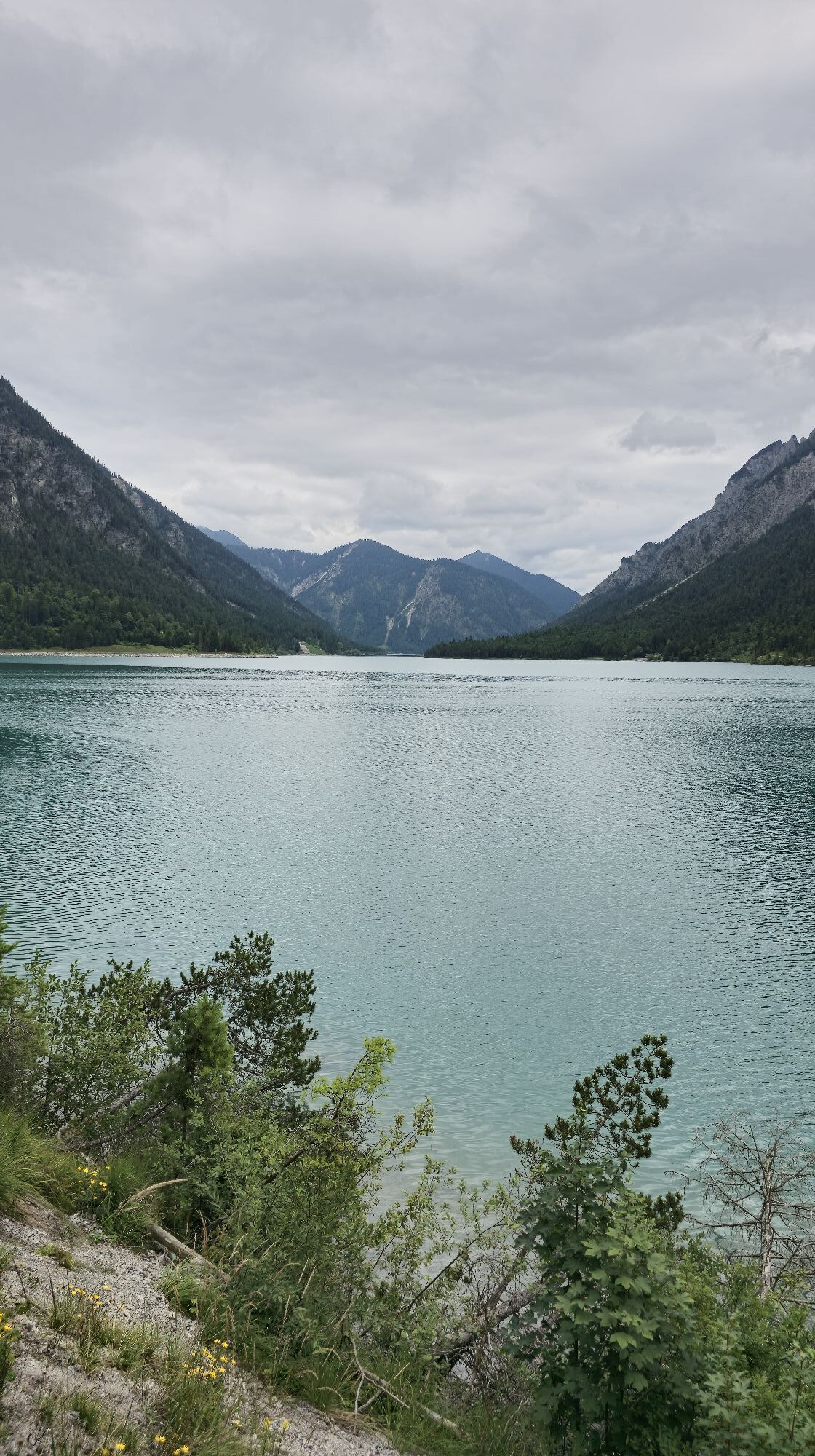
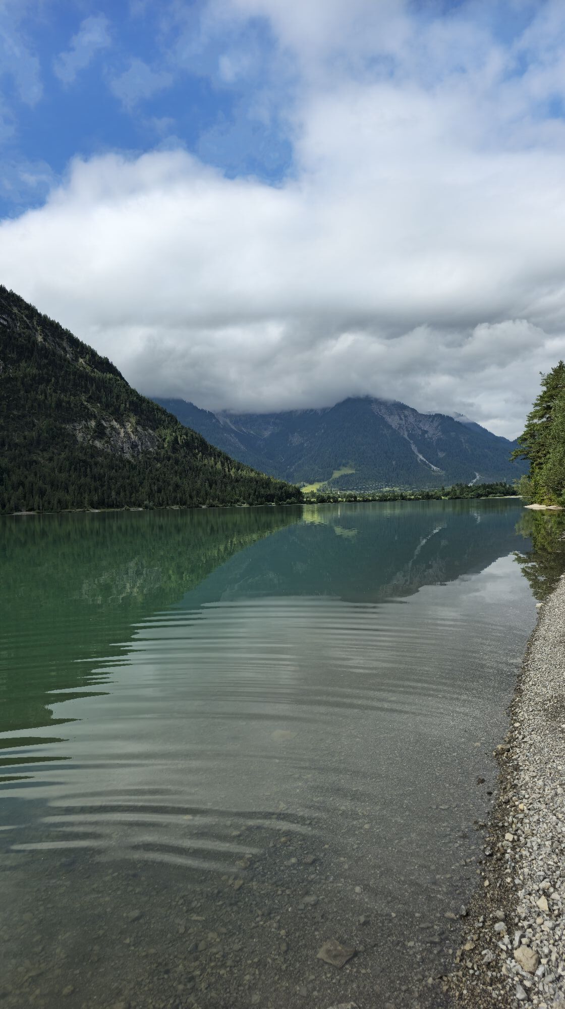
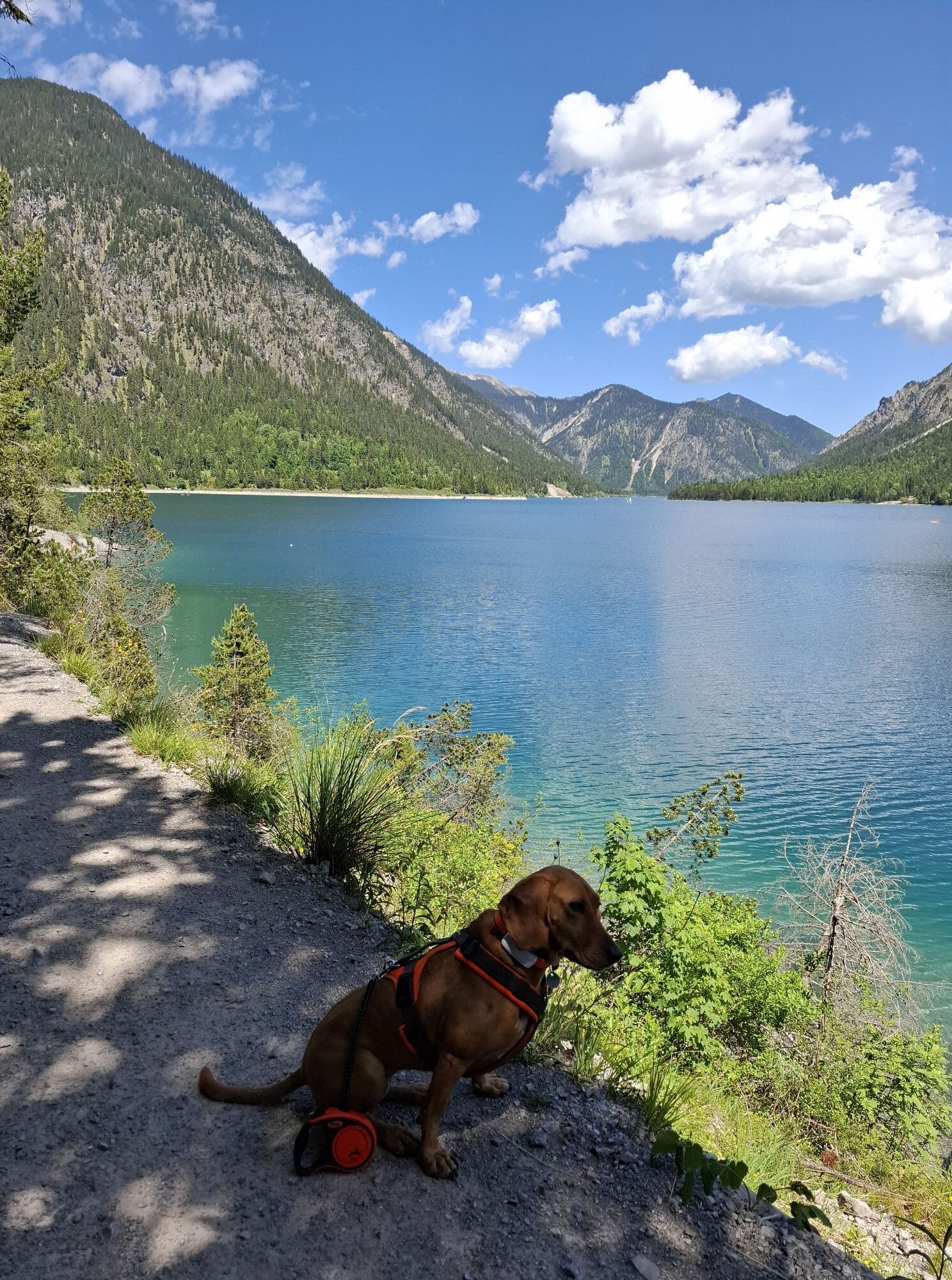
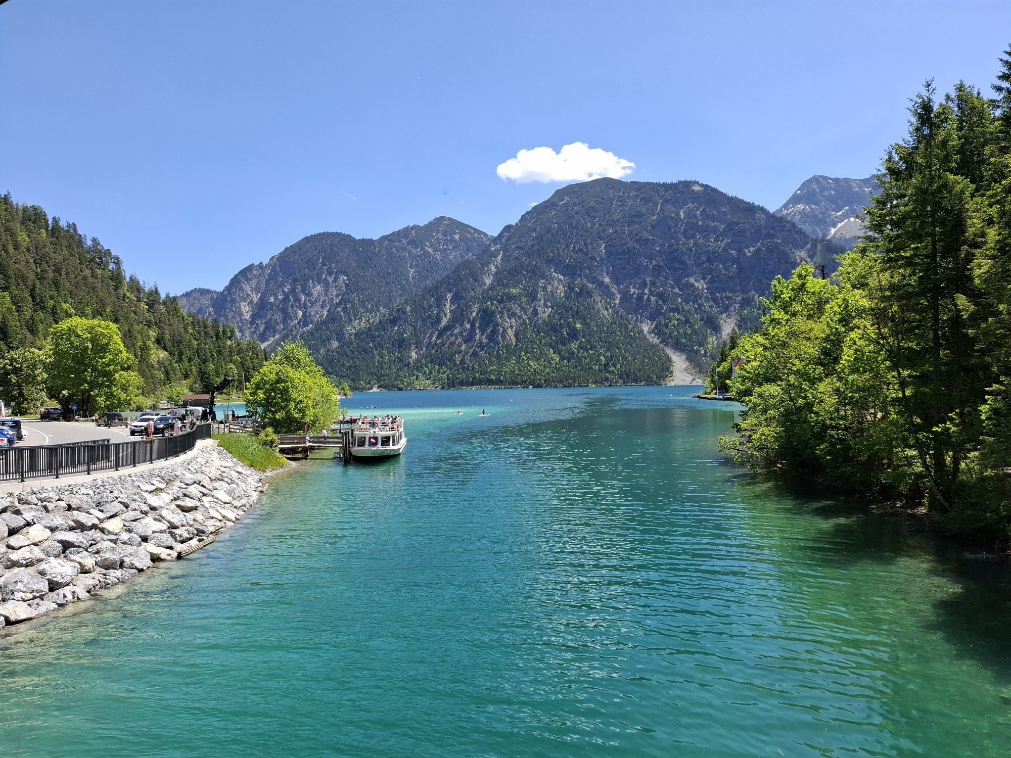

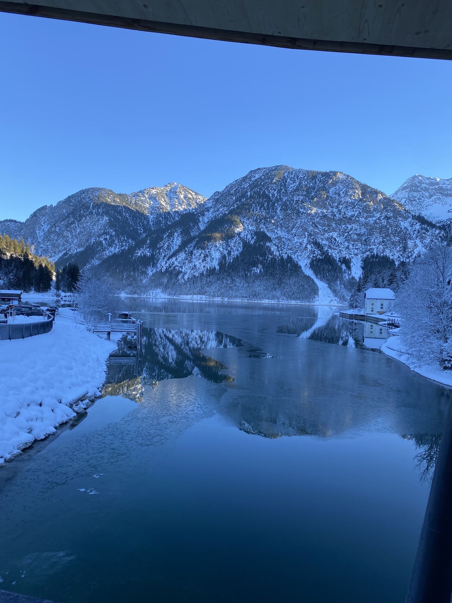
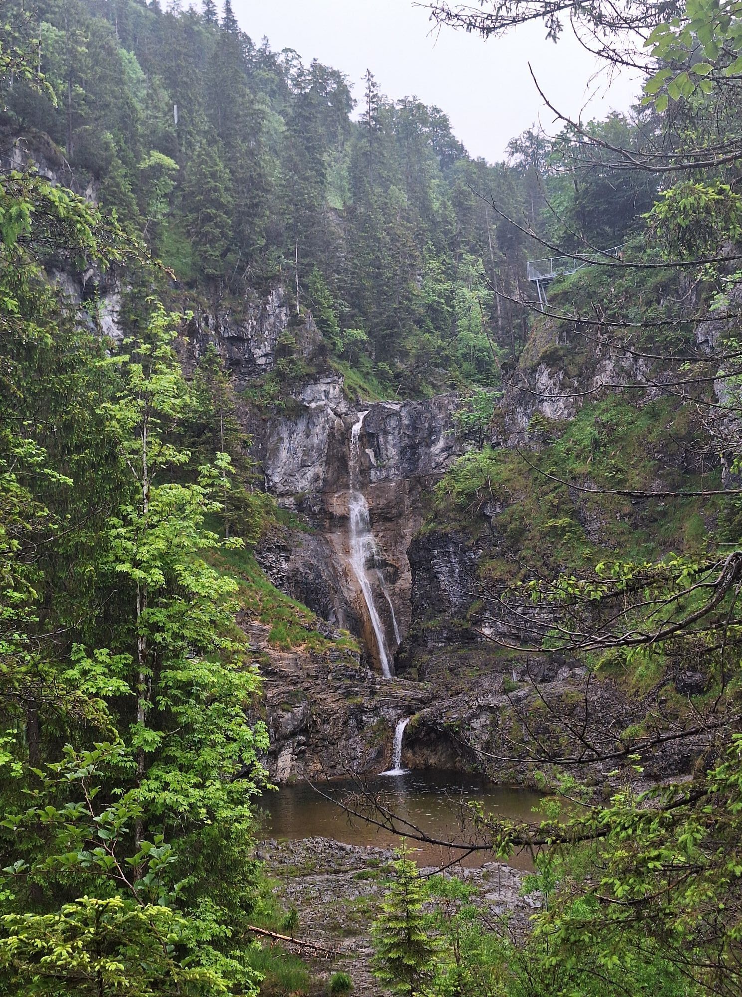
Go past the campsite and follow the trail on the Tauern side. At the canal bridge continue straight ahead in the direction of Kleiner Plansee, Frauenbrünnele. Cross the road at the end of the Kleiner Plansee....
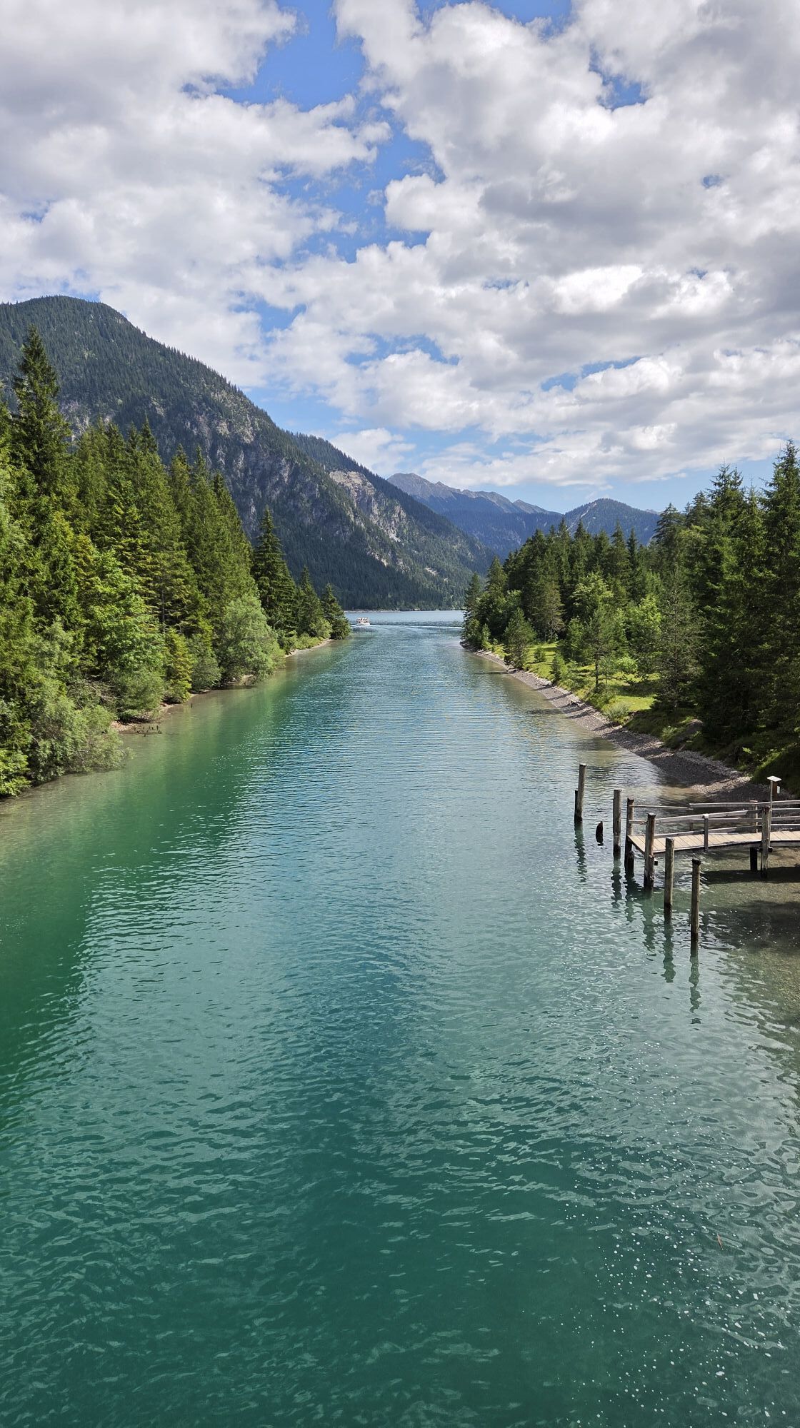
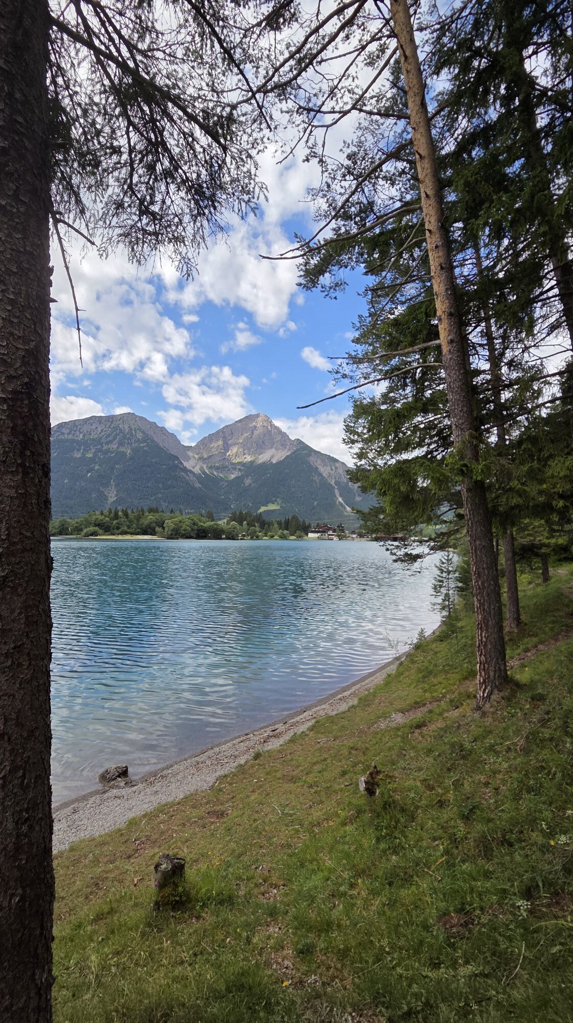
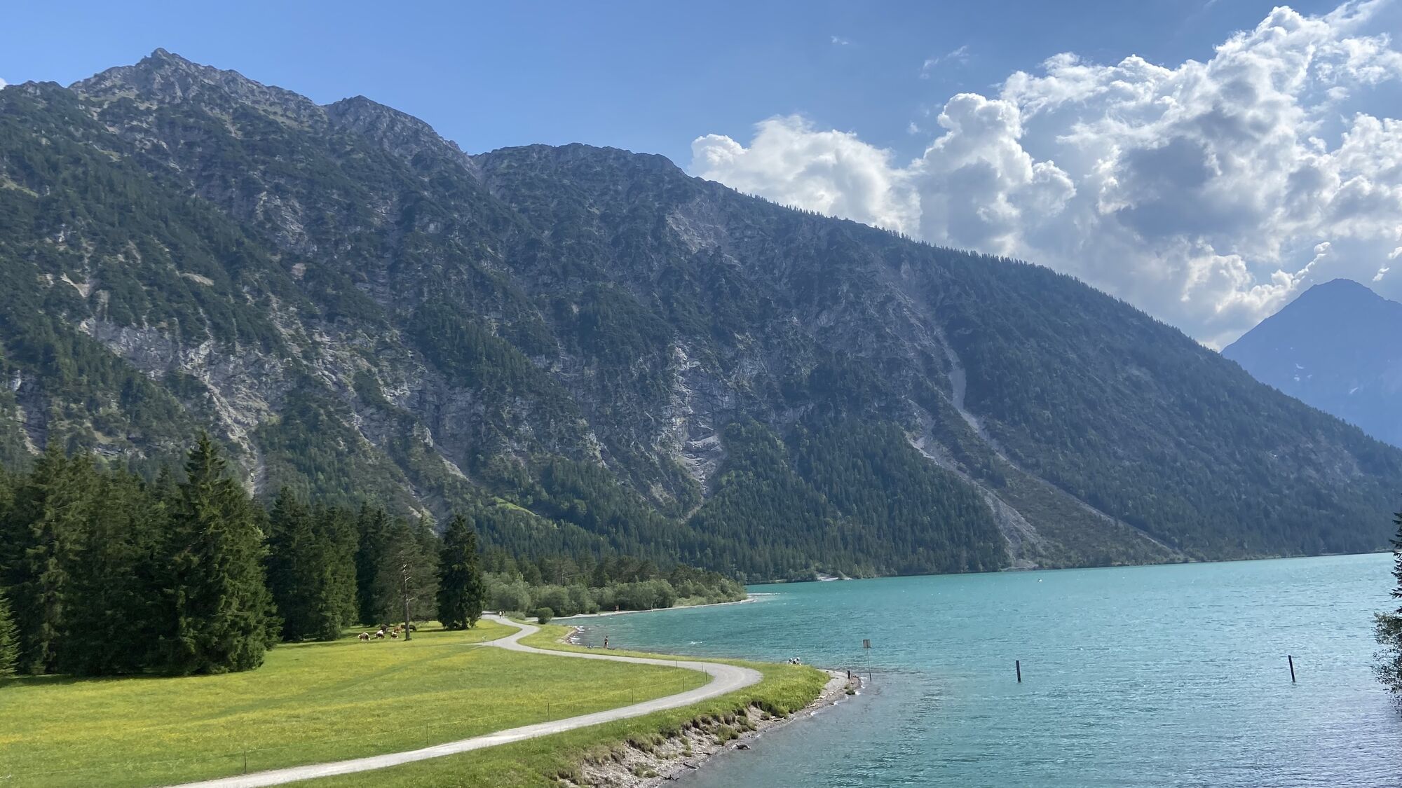
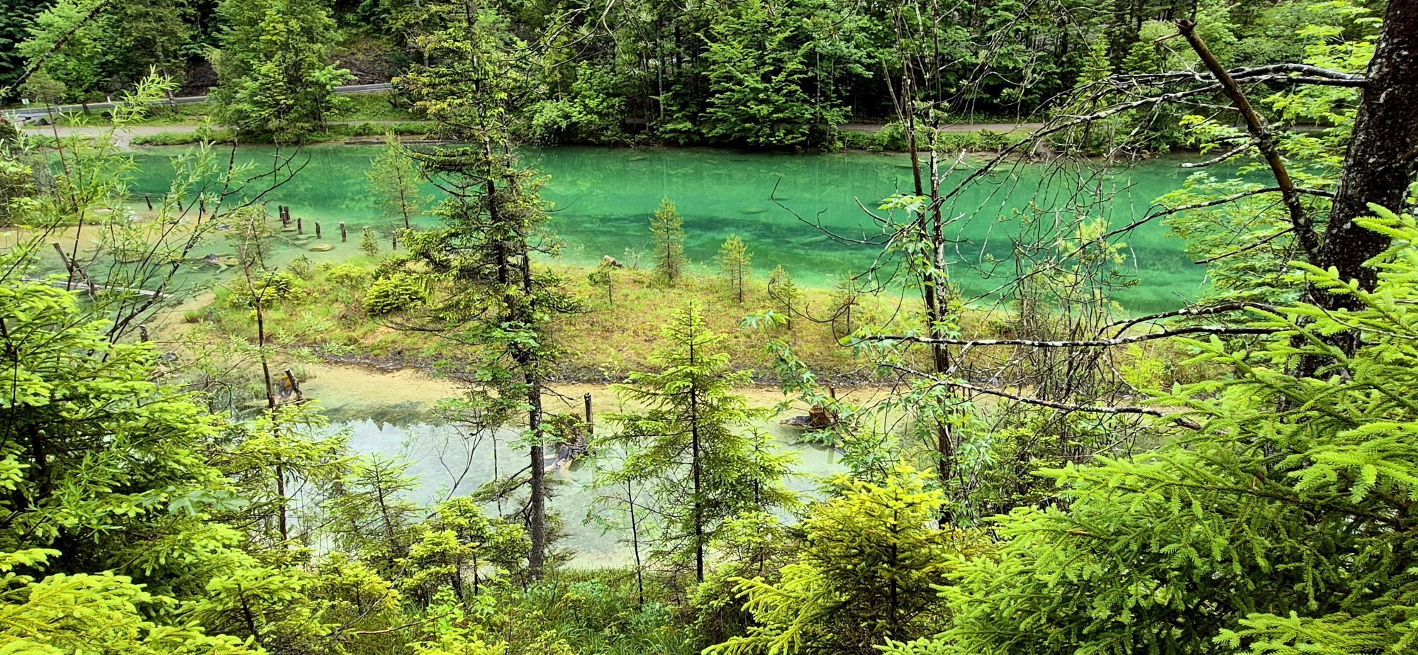
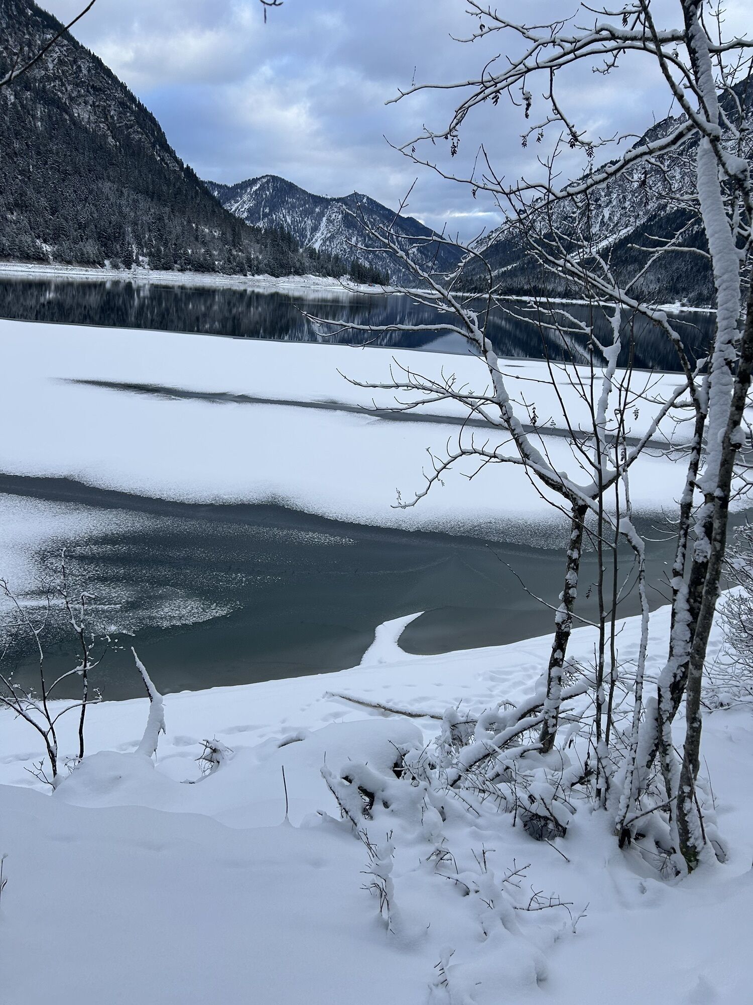
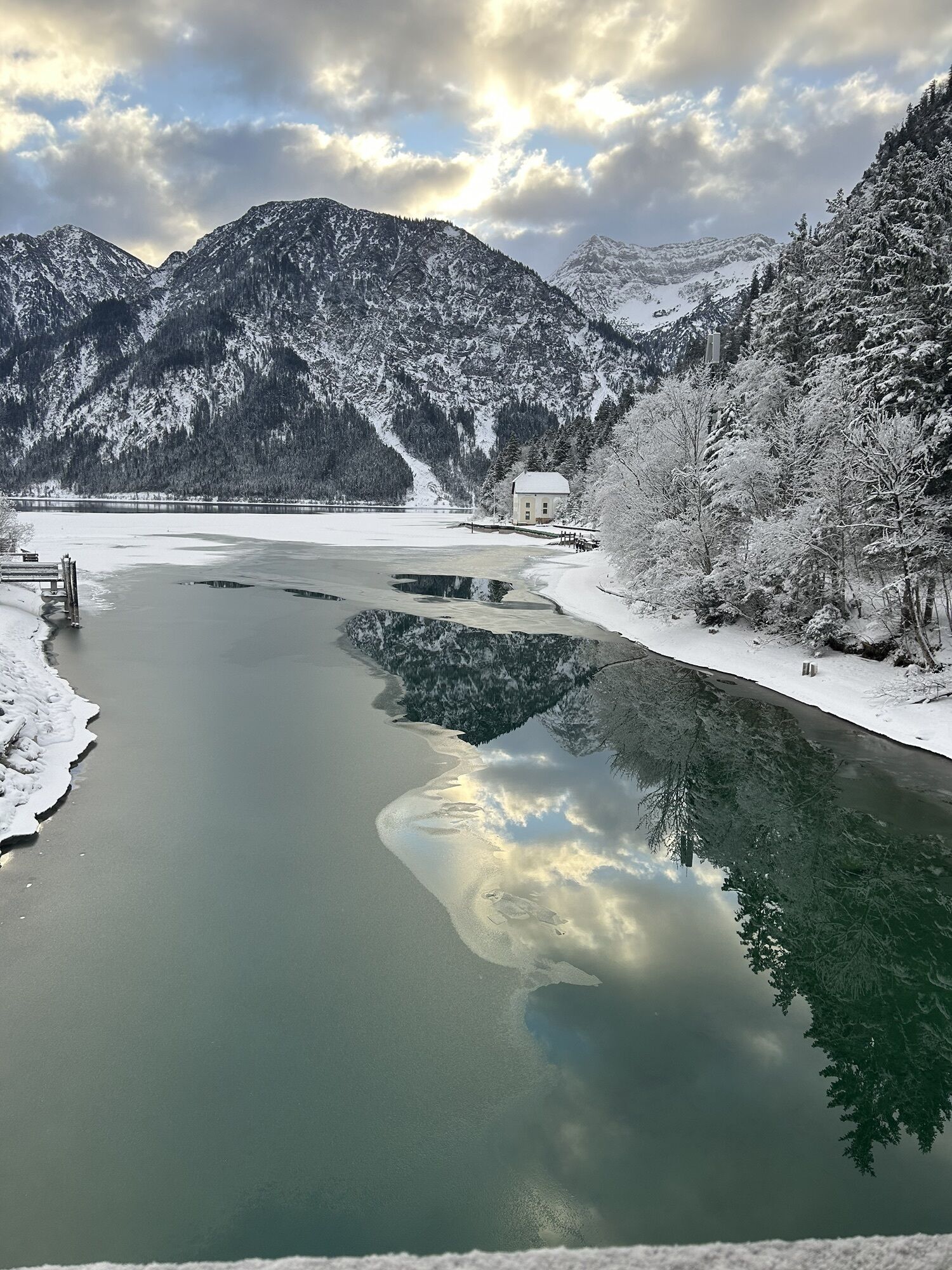
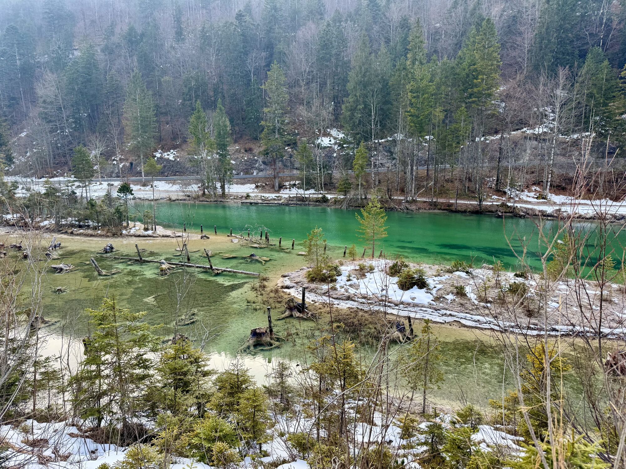
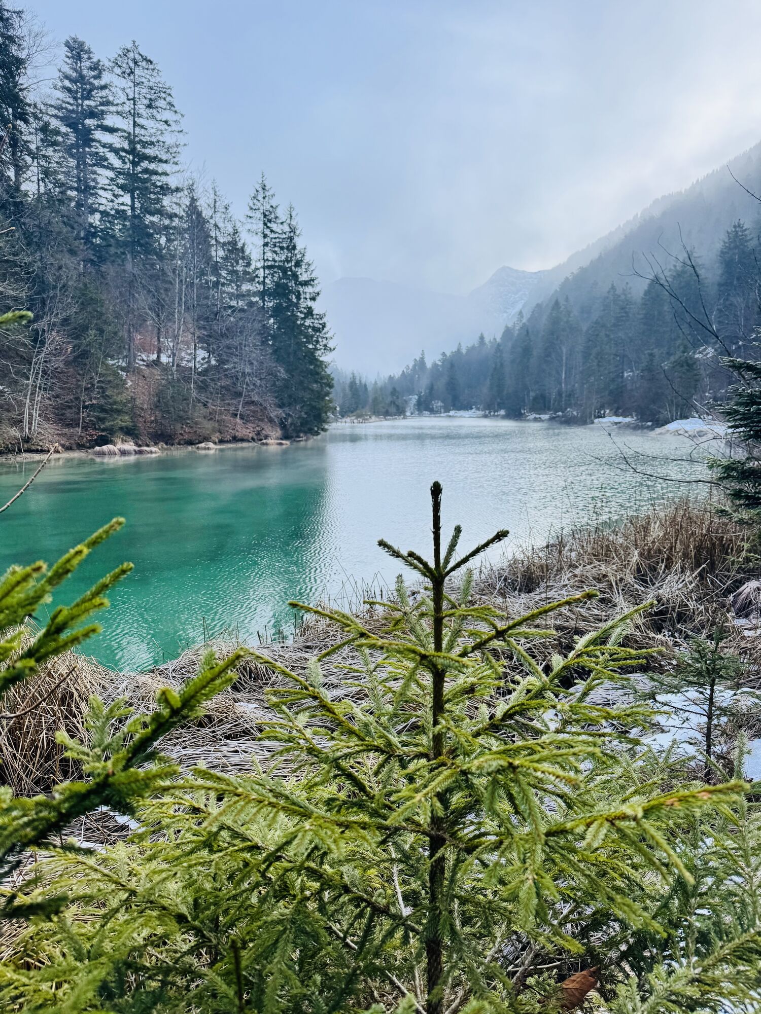
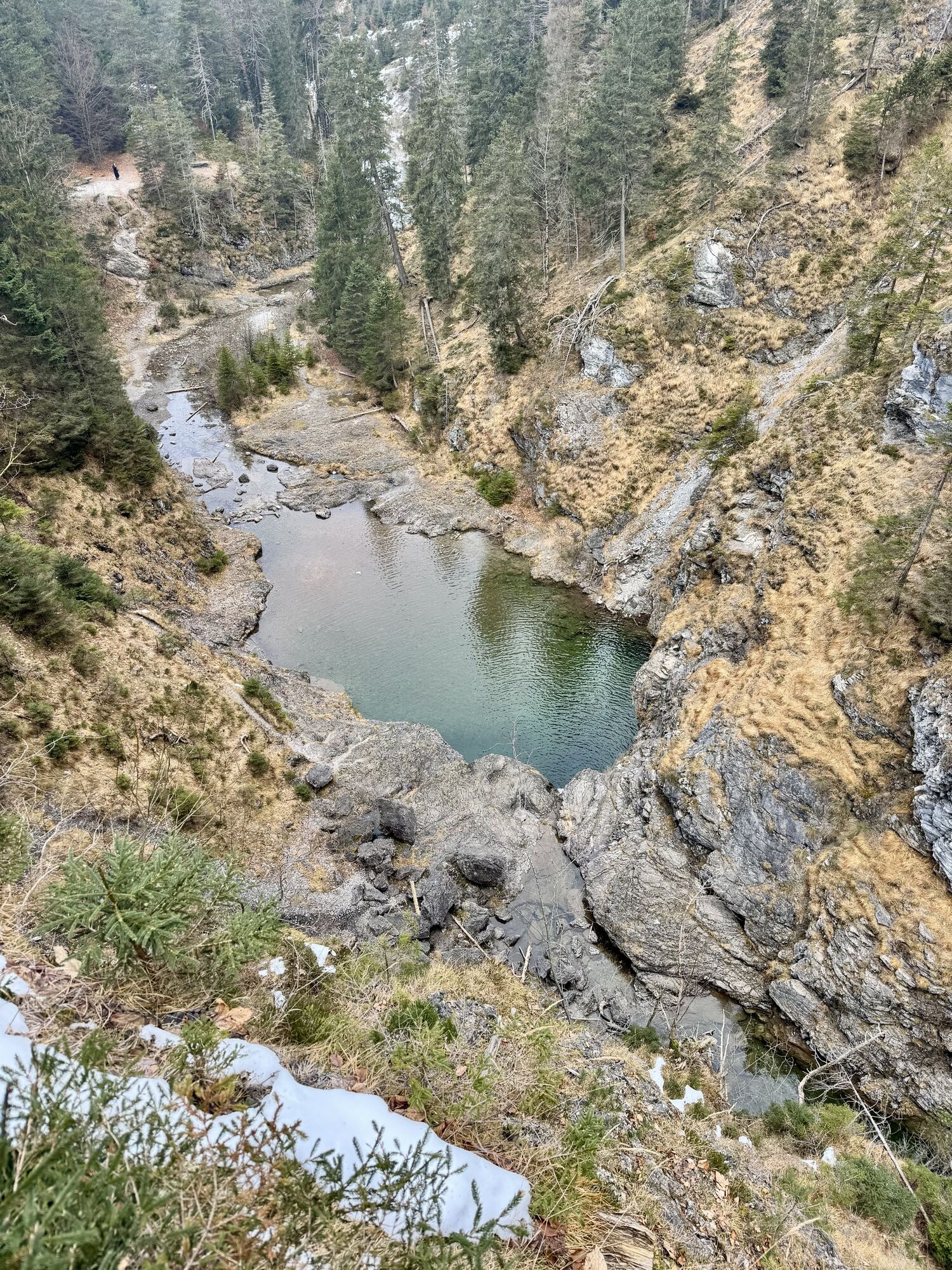
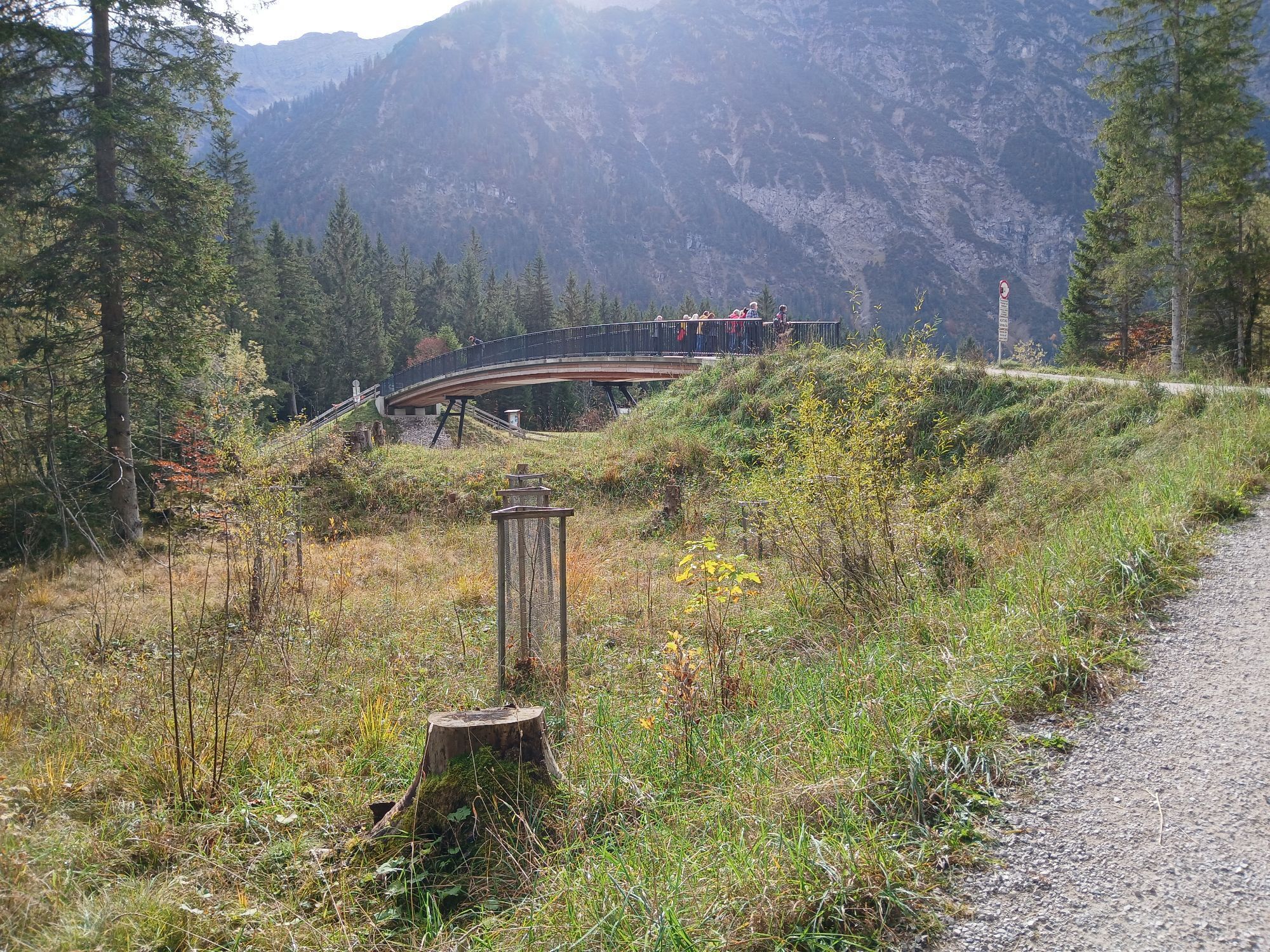
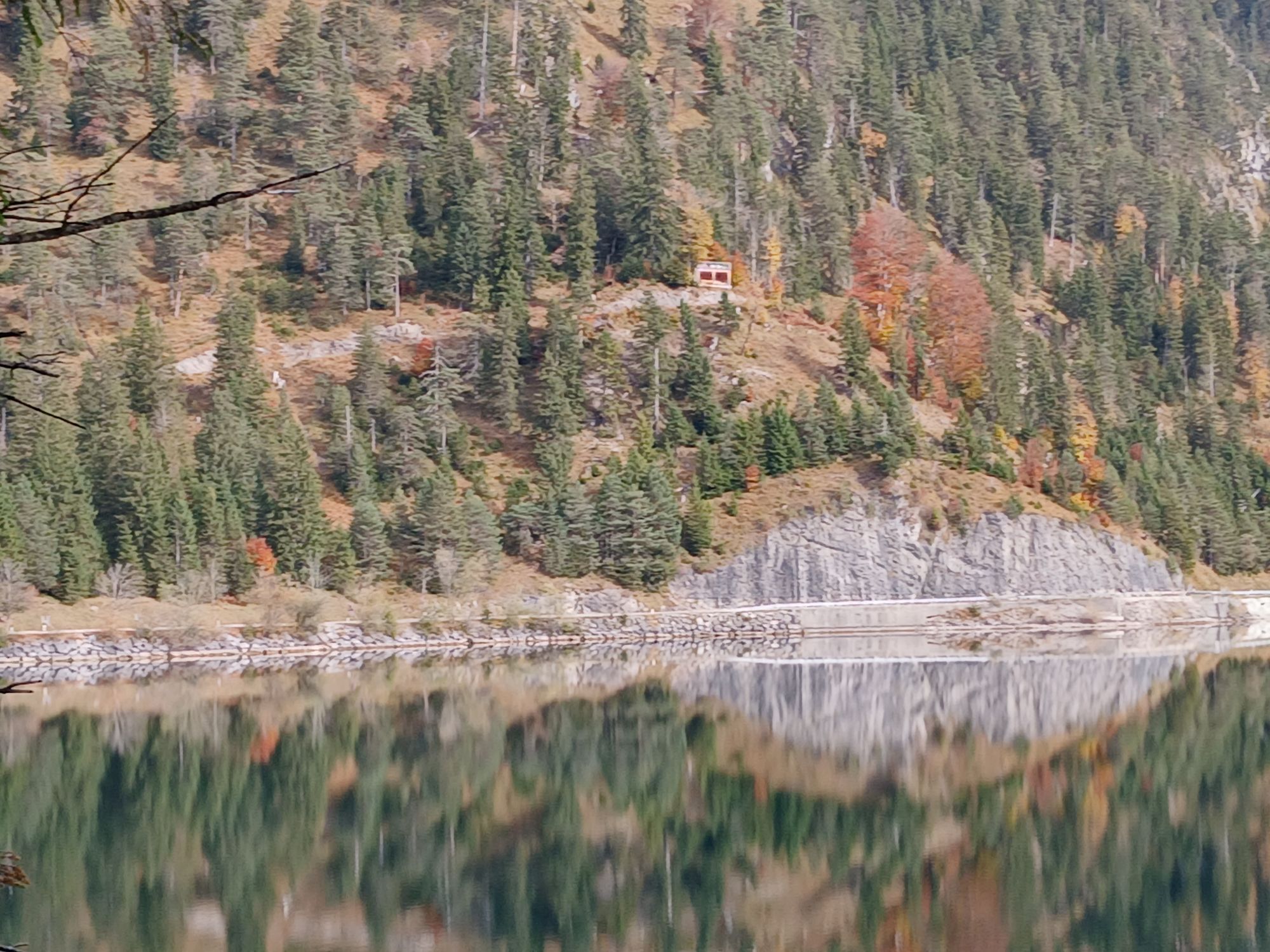
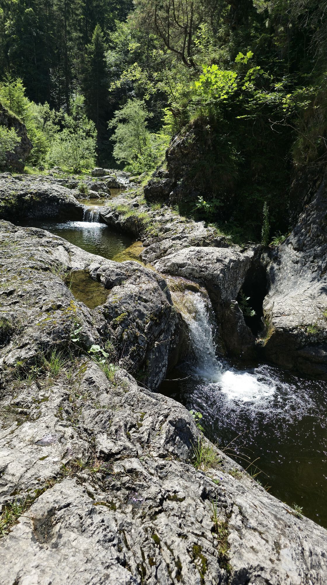
Go past the campsite and follow the trail on the Tauern side. At the canal bridge continue straight ahead in the direction of Kleiner Plansee, Frauenbrünnele. Cross the road at the end of the Kleiner Plansee. Continue to the Jägerkapelle, then follow the path and the yellow marking Stuibenfälle. Continue the circular hike in the direction of the Angerer sawmill. Go past the Gasthof Waldhof and follow the yellow Mäuerle marker. Walk over the Mäuerle in the direction of the lake. Pss the camping site and return to the starting point at the parking lot of the Hotel Fischer am See.


Hotel Fischer am See; Wirtshaisl am See; Hotel Seespitze;
Hiking map available in the tourist offices of the Tiroler Zugspitz Arena
Sí
Appropriate clothing, sturdy shoes, rain gear, sunscreen, walking poles, enough to drink. No climbing equipment required.
● Stay on the marked trails
● Keep distance from grazing animals
● Respect the opening ours of the alpine huts
● Alpine emergency call: 140
Summer & hiking bus of the Tiroler Zugspitz Arena (free of charge with guest card or Z-Ticket), Postbus (free of charge in the region with guest card or Z-Ticket), regional trains (Garmisch-Partenkirchen-Grainau-Ehrwald-Lermoos-Reutte)
Car park at Hotel Fischer am See
The hike can be combined with the boat ride from Hotel Fischer am See to Hotel Seespitze.

Webcams del recorrido
Infórmate
Siempre en directo con más de 9.500 webcams. bergfex Como usuario Pro, ahora puede ver las webcams correspondientes a muchos tours en la app de tours desde. Esto le permite ver las condiciones actuales directamente.


Rutas populares en los alrededores
-
4,8
Thaneller
medioSenderismo 4,90 km -
4,7
Alrededor del Weißensee.
luzSenderismo 6,12 km -
4,8
Vía ferrata "Muro Amarillo
medioVía ferrata 3,65 km -
4,1
Drehhütte
luzSenderismo 3,34 km -
4,5
Ruta circular Dreh- y Rohrkopfhütte
luzSenderismo 8,76 km -
4,4
Rundwanderung Stuibenfälle
medioSenderismo 3,92 km -
4,9
Tegelberg | Branderschrofen | Neuschwanstein
medioSenderismo 14,8 km -
4,7
Hönig over the Älplestal-valley
medioSenderismo 11,6 km -
4,2
Sendero cultural Schutzengelweg
medioSenderismo 5,13 km -
3,6
Rundwanderung Plansee
medioSenderismo 9,80 km
Senderismo y rastreo


No se pierda las ofertas y la inspiración para sus próximas vacaciones
Su dirección de correo electrónico se ha añadido a la lista de correo.





