


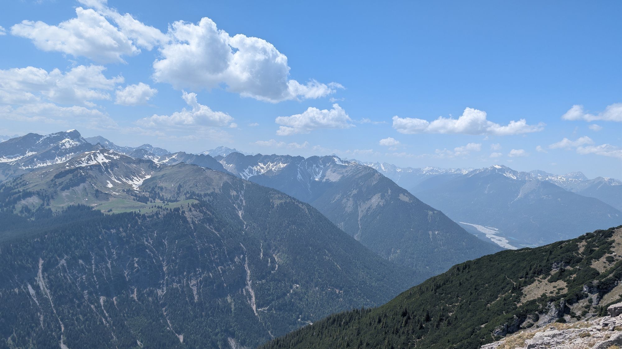
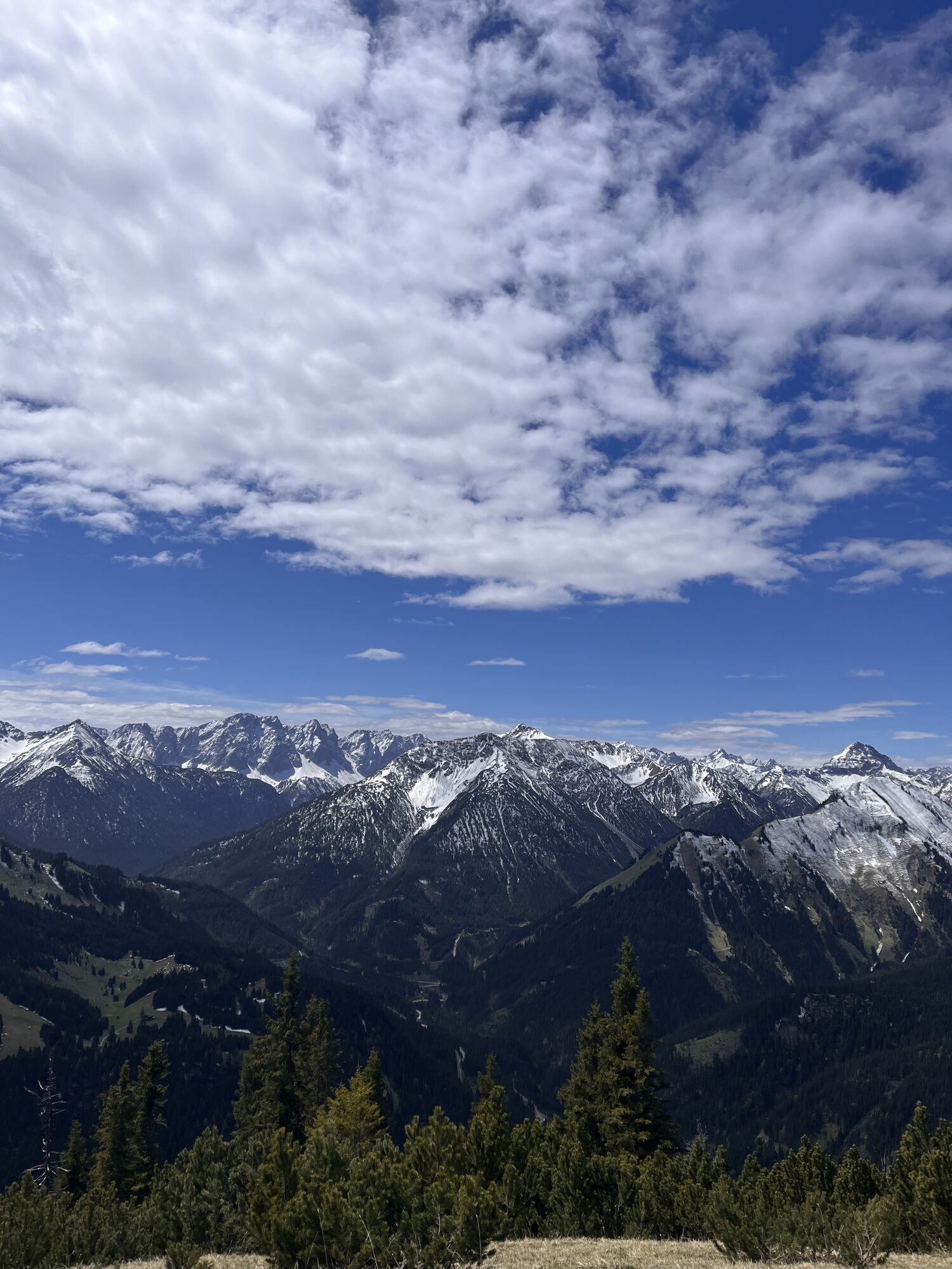
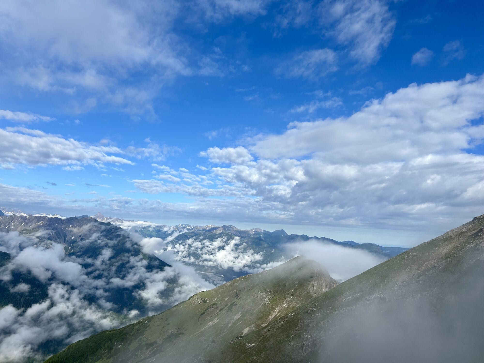
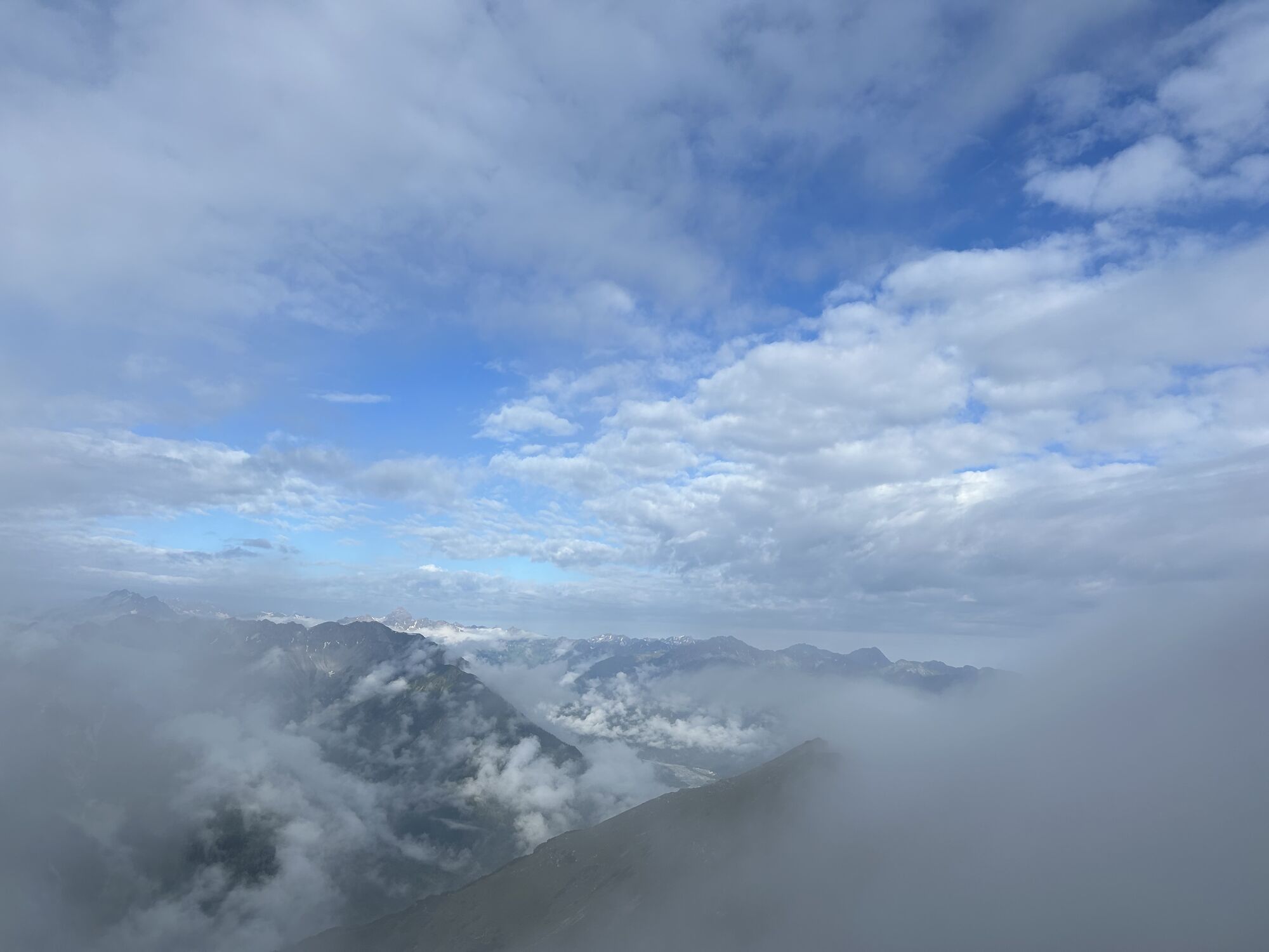
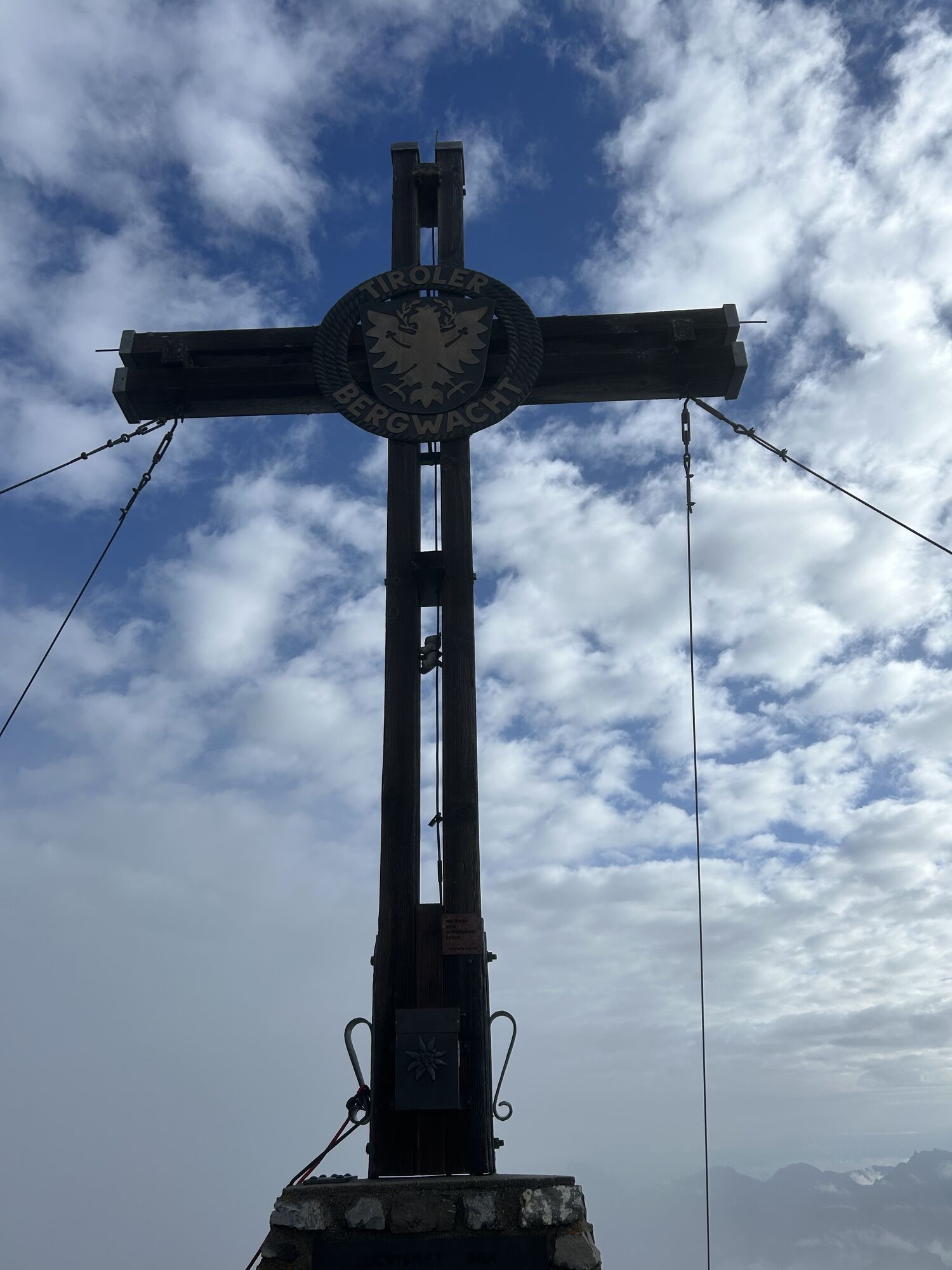
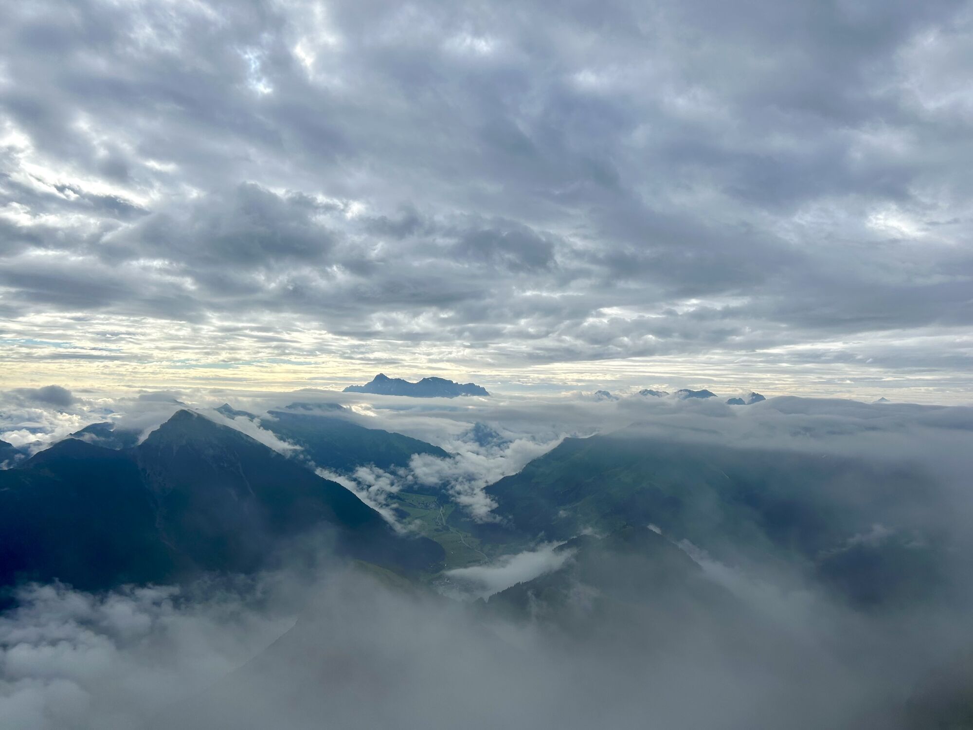
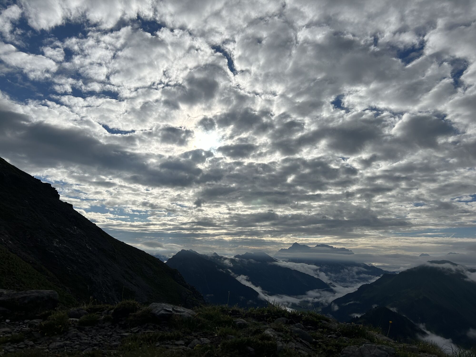
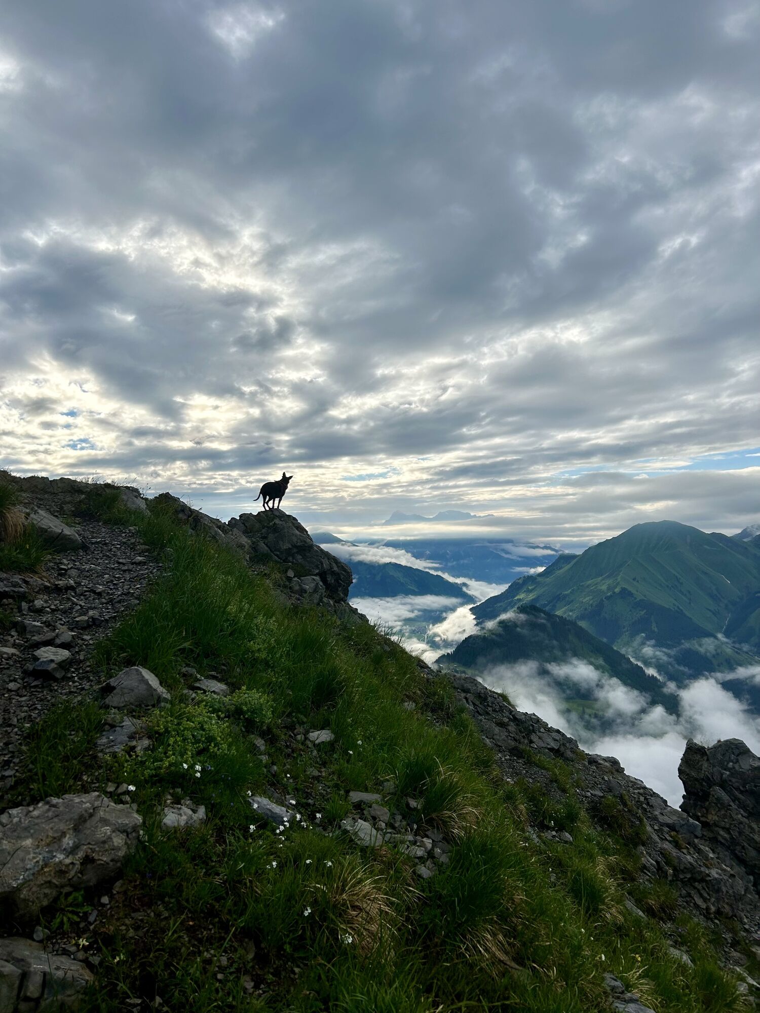
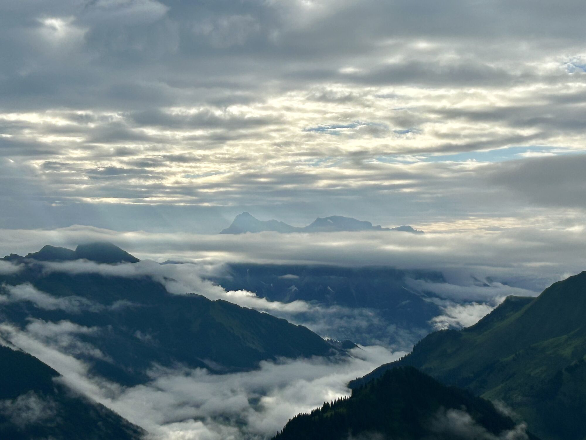
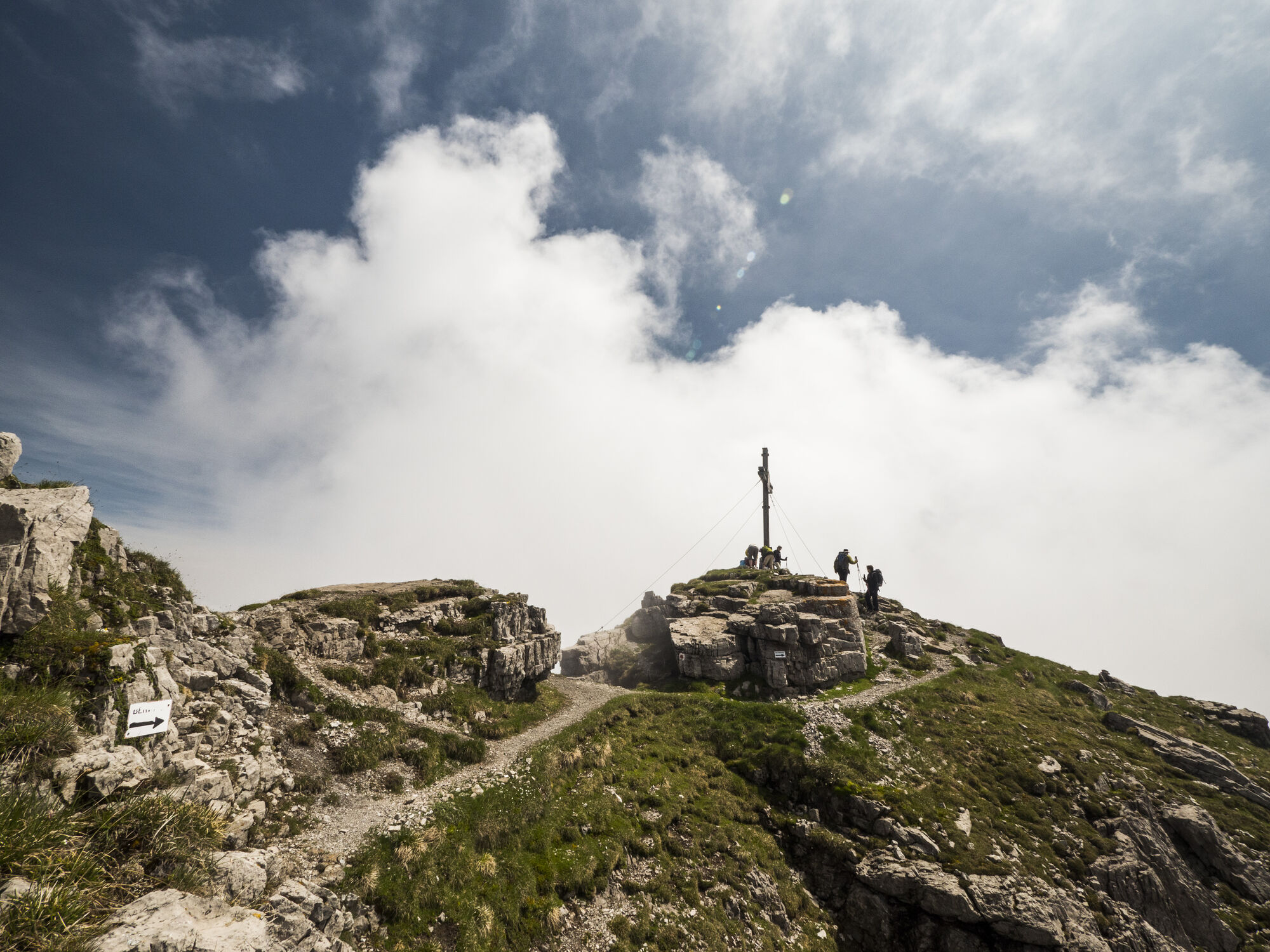
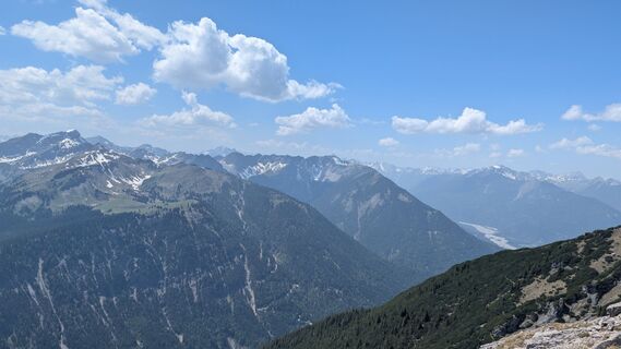
Thaneller
Starting point of the tour is the tourist office in Berwang. From there, walk in the direction of Hotel Kaiserhof, past the Huberbauer on a wide gravel path towards the Thanellerkarlift. Pass underneath...
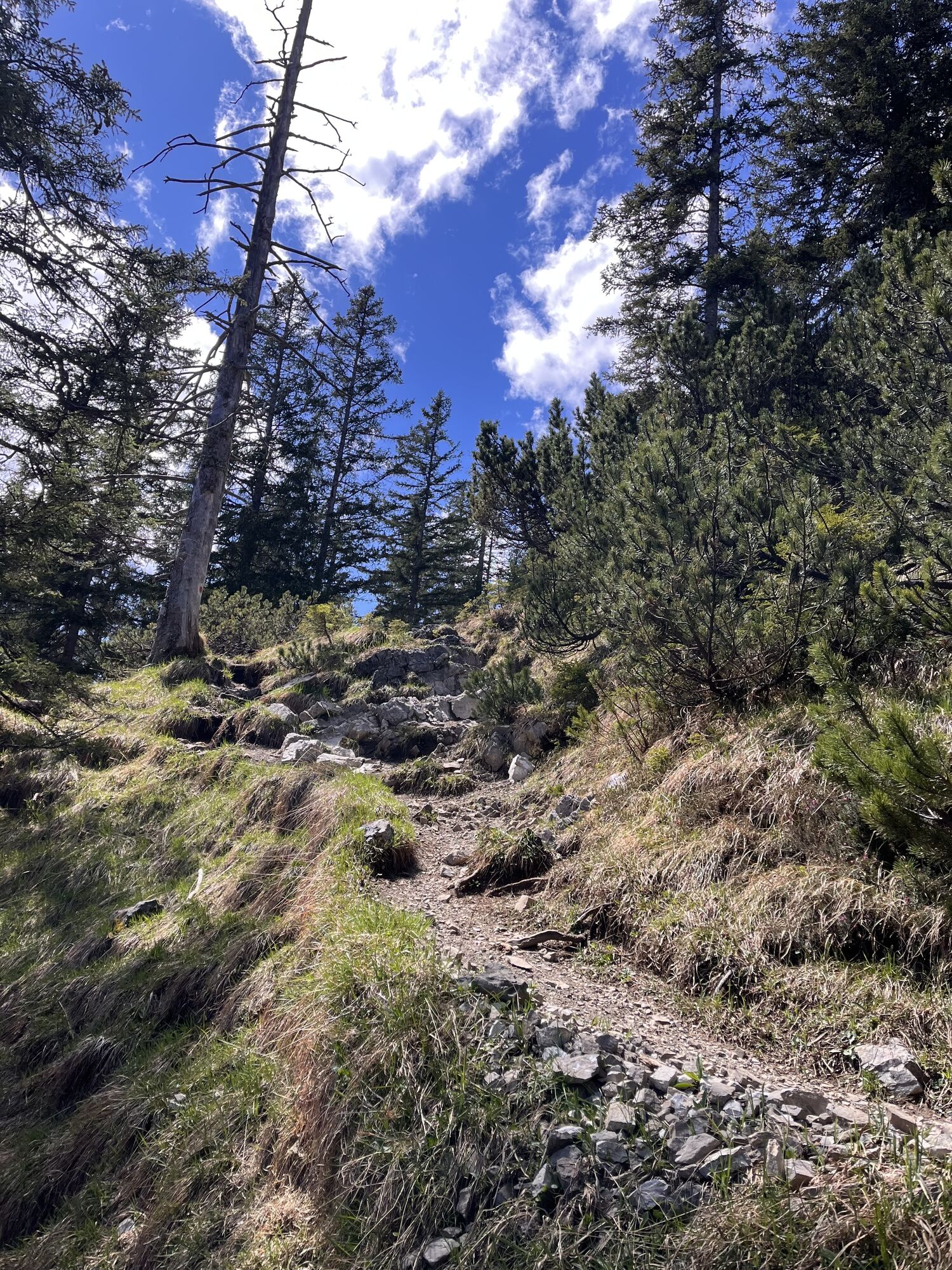
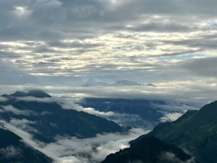
Starting point of the tour is the tourist office in Berwang. From there, walk in the direction of Hotel Kaiserhof, past the Huberbauer on a wide gravel path towards the Thanellerkarlift. Pass underneath the lift rope. After about 15 minutes, turn onto the trail (No. 611), which leads over numerous serpentines to the summit of the Thaneller (2,343 m).
maps.zugspitzarena.com
Wanderkarte mit Tourenbooklet im Tourismusbüro Berwang erhältlich.
Sí
Appropriate clothing, sturdy shoes, rain protection, sun protection, hiking poles, sufficient water. No climbing equipment required.
● Stay on the marked hiking trails
● Keep your distance from grazing animals
● Be aware of the mountain hut opening hours
● Alpine emergency call: 140
Parkplatz Egghof, Parkplatz Thanellerkarlift | Thanellerbahn
Webcams del recorrido
Actividades a lo largo del recorrido
-

Berwang, Tyrol/Austria
04.06.2026 – Senderismo -

Berwang, Tirol/Österreich
30.05.2026 – Senderismo -

Berwang, Tirol/Österreich
26.05.2026 – Senderismo -

Berwang, Tirol/Österreich
21.05.2026 – Senderismo -
Berwang, Tirol/Österreich
01.05.2026 – Vía ferrata -
Berwang, Tirol/Österreich
01.05.2026 – Senderismo -

Berwang, Tirol/Österreich
07.03.2026 – Senderismo -

Berwang, Tirol/Österreich
07.03.2026 – Excursión de alta montaña -

Berwang, Tirol/Österreich
19.11.2025 – Senderismo -

Thaneller, Tirol/Österreich
01.11.2025 – Senderismo -
Berwang, Tirol/Österreich
01.11.2025 – Senderismo -
Berwang, Tirol/Österreich
20.09.2025 – Senderismo -

Berwang, Tirol/Österreich
18.09.2025 – Senderismo -
Berwang, Tirol/Österreich
26.08.2025 – Senderismo -

Thaneller, Tirol/Österreich
06.08.2025 – Senderismo -

Berwang, Tirol/Österreich
08.07.2024 – Senderismo
Rutas populares en los alrededores
-
4,4
Rundwanderung Stuibenfälle
medioSenderismo 3,92 km -
3,6
Rundwanderung Plansee
medioSenderismo 9,80 km -
4,7
Hönig over the Älplestal-valley
medioSenderismo 11,6 km -
4,5
Schönjöchl am Plansee
medioSenderismo 7,21 km -
4,6
Traumhafte Panorama Plansee-Umrundung
luzSenderismo 13,8 km -
4,8
BIEBERWIER | Blindsee
luzSenderismo 4,84 km -
4,4
Durchs Schneetal zum Hahnenkamm
medioSenderismo 14,1 km -
4,7
Almkopf Rundweg
medioSenderismo 2,60 km -
4,2
Reutte Urisee / Dürrenbergalm / Koflerjoch
luzSenderismo 10,3 km -
4,9
Säuling 2047m
pesadoSenderismo 10,3 km
Senderismo y rastreo


No se pierda las ofertas y la inspiración para sus próximas vacaciones
Su dirección de correo electrónico se ha añadido a la lista de correo.