© Rudi Wyhlidal - Rudi Wyhlidal / WEST - Kollreide
Datos del tour
5,29km
1.482
- 2.391m
887hm
04:30h
- Breve descripción
-
Schöne Tour mit prächtiger Aussicht nach Imst
- Dificultad
-
medio
- Valoración
-
- Punto de salida
-
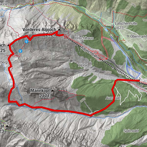
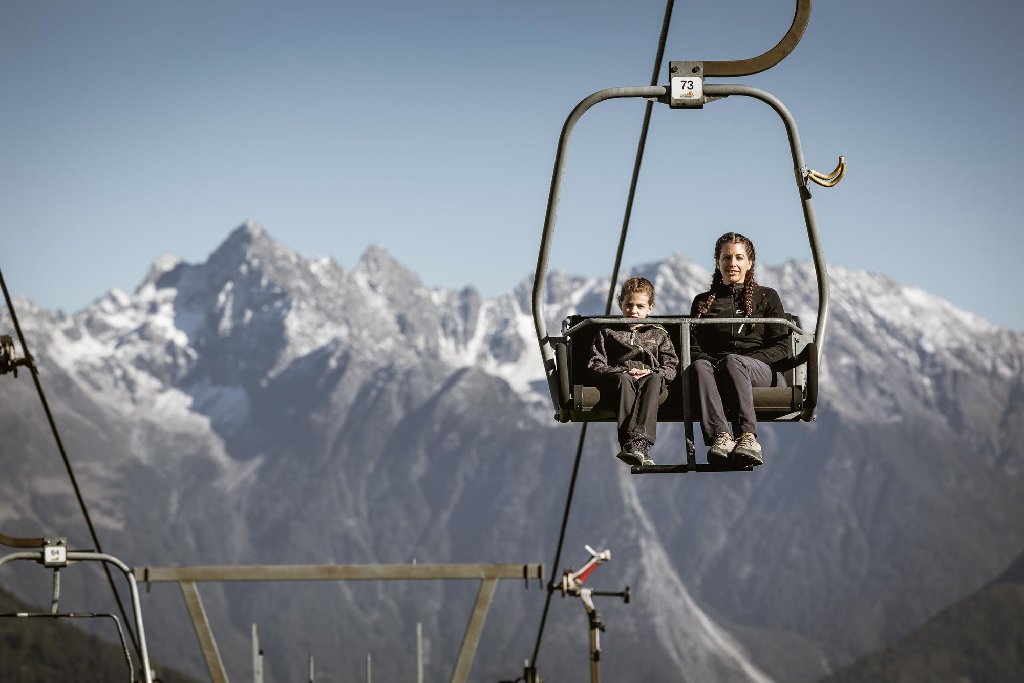
Untermarkter Alm
- Ruta
-
Untermarkter Alm0,0 kmUntermarkter Alm Bahn0,1 kmAlpjochbahn0,1 kmGaltbergalm2,8 kmHinteres Alpjoch (2.425 m)4,0 km
- La mejor temporada
-
enefebmarabrmayjunjulagosepoctnovdic
- Punto álgido
- 2.391 m
- Material cartográfico
-
TVB Imst-Gurgltal: www.imst.at
GPS Downloads


Superficie de carretera
Asfalto
Gravilla
Pradera
Bosque
Roca
Expuesto
Más circuitos por las regiones
-
Outdoorregion Imst
1228
-
Imsterberg
236