


Drei Hütten und ein spannender Steig
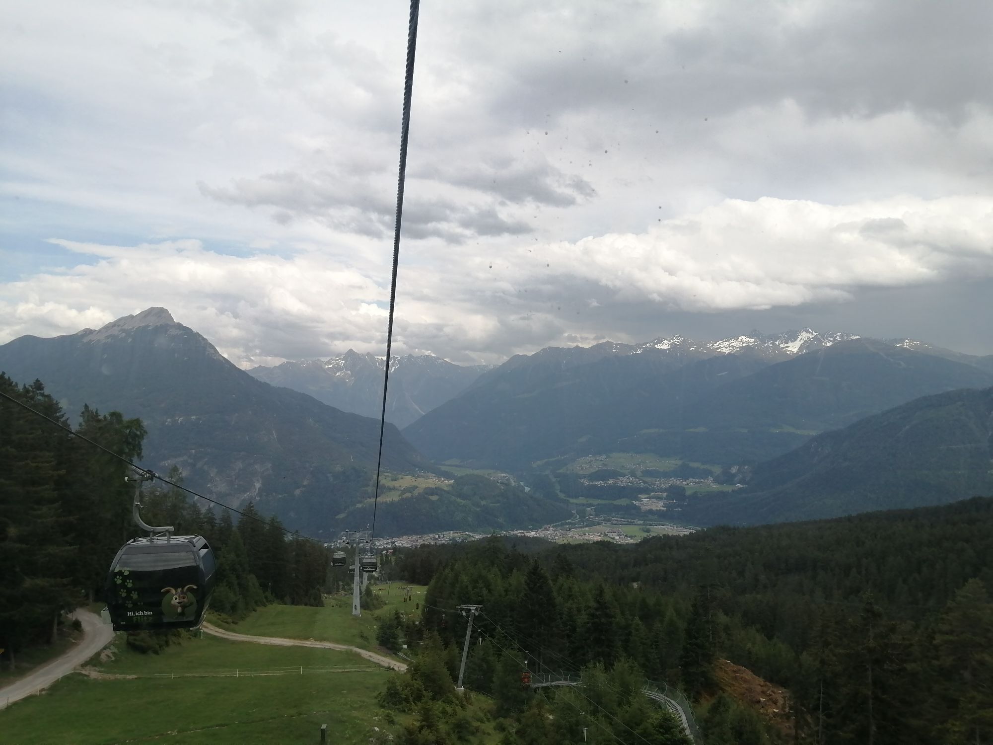


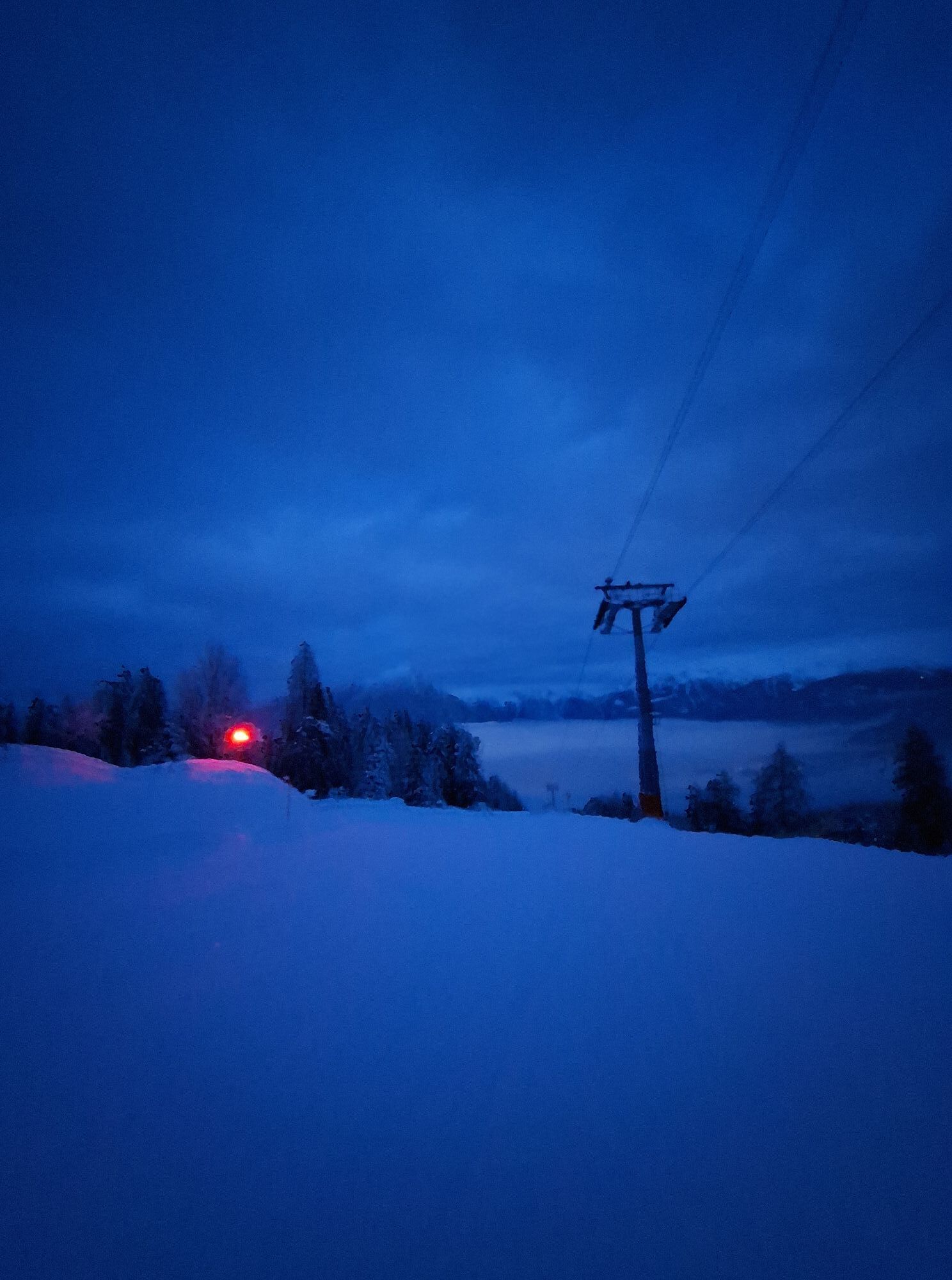
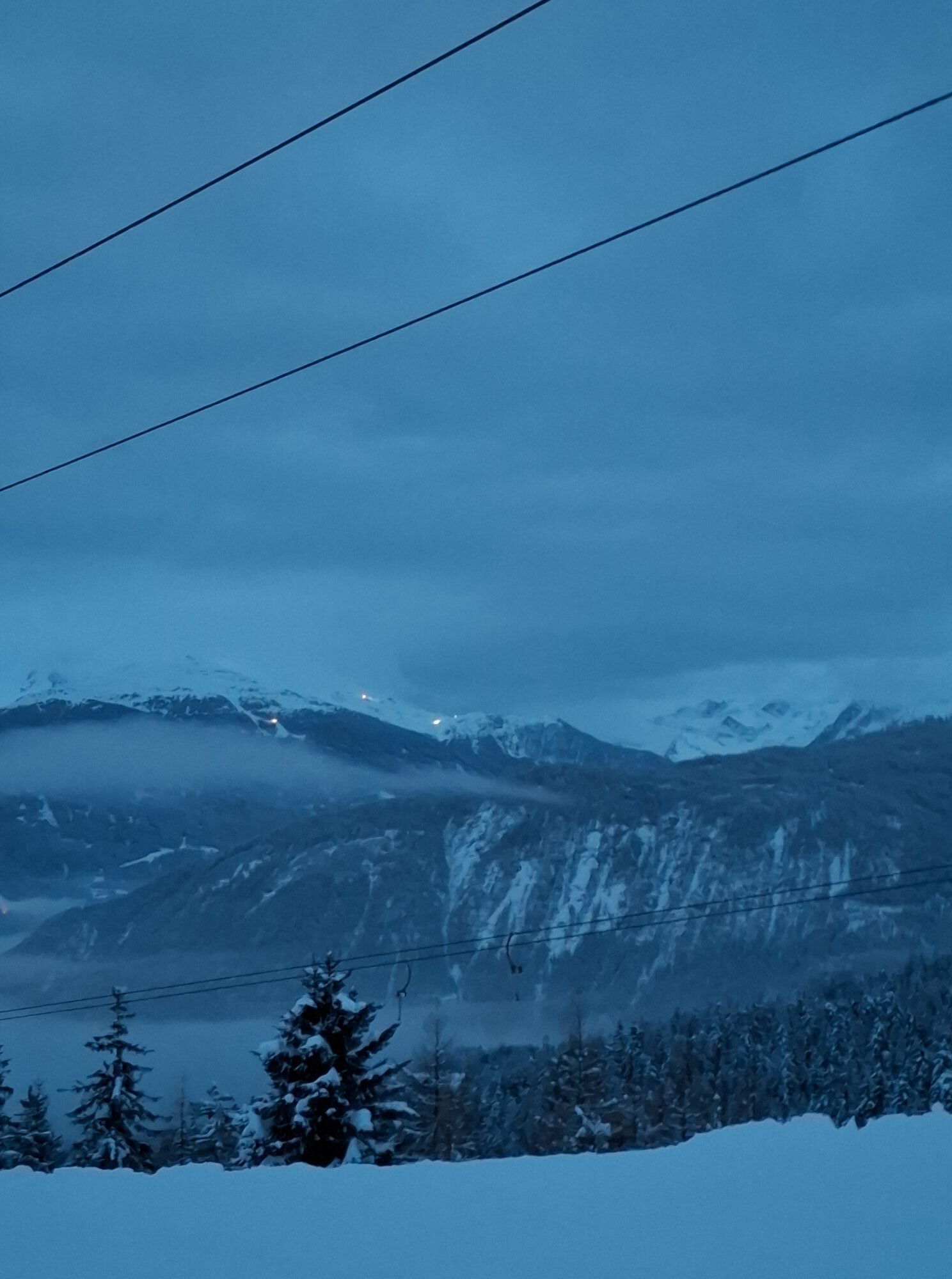

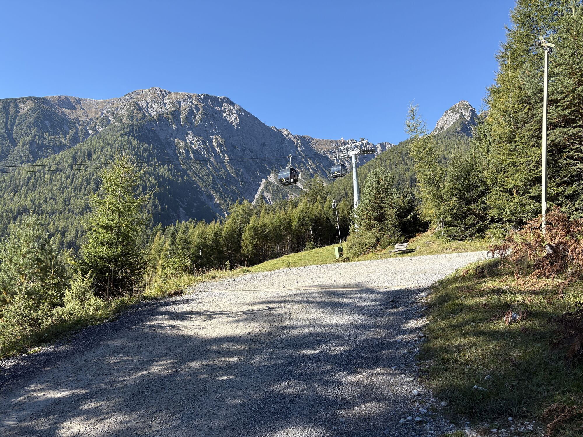
Von Hoch-Imst fährt man in zwei Sektionen mit dem Sessellift zum Alpjoch in rund 2100 Meter Höhe. Hier beginnt die Wanderung zurück hinab nach Hochimst. Zunächst wandern wir entlang des ausgesetzten, aber...
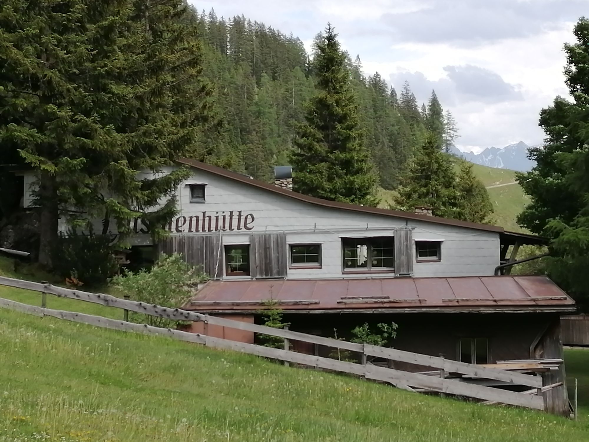
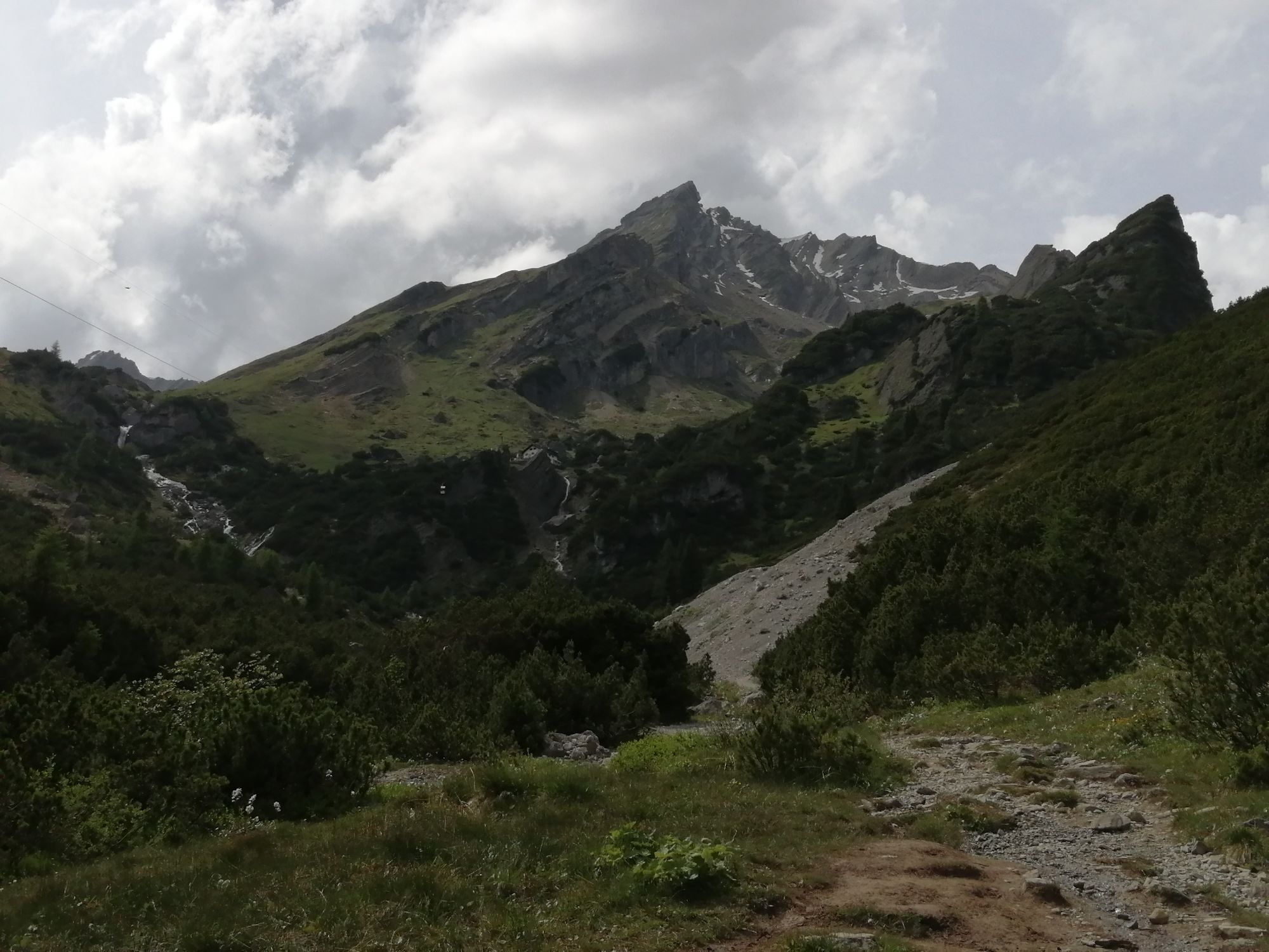
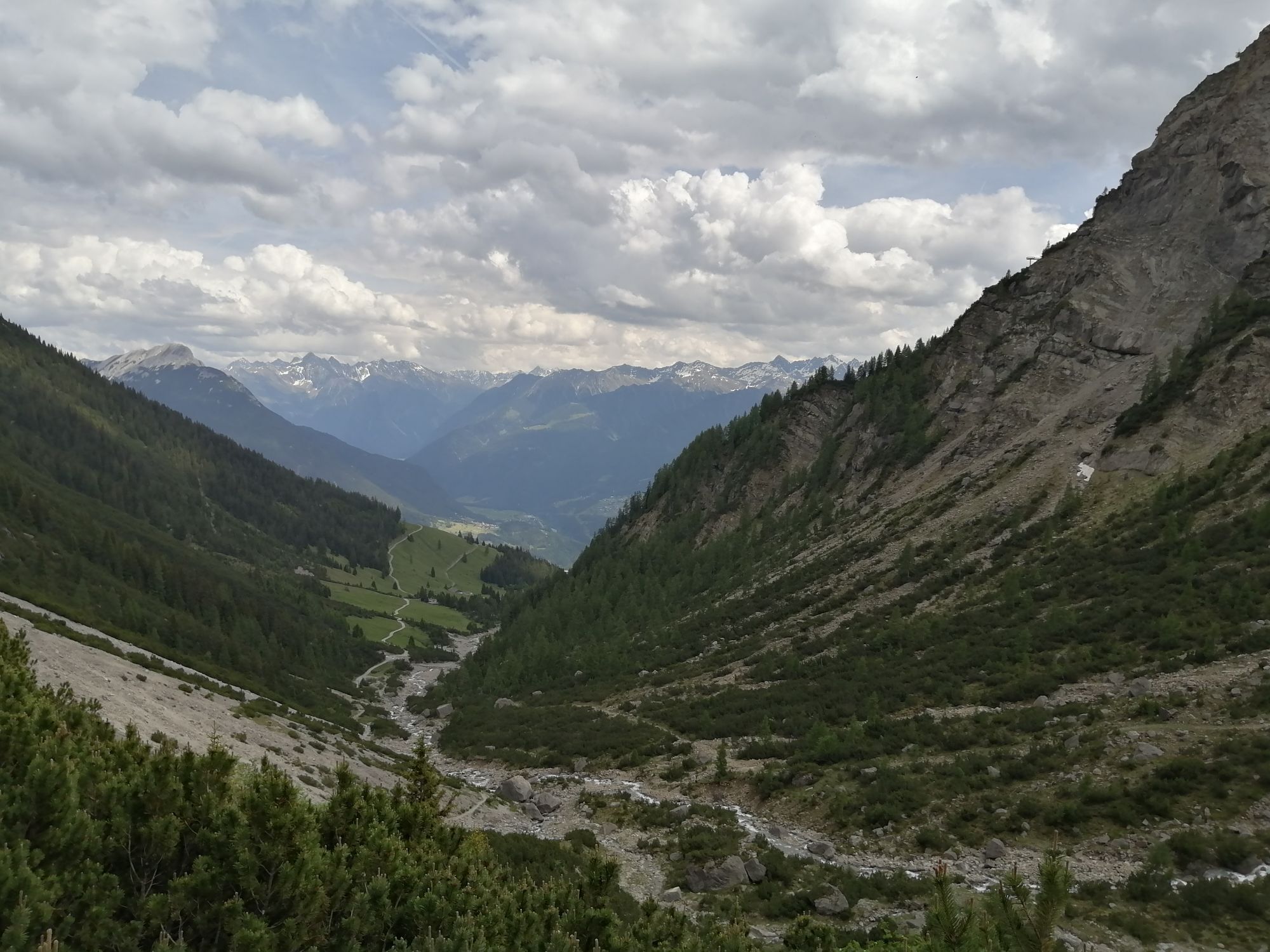
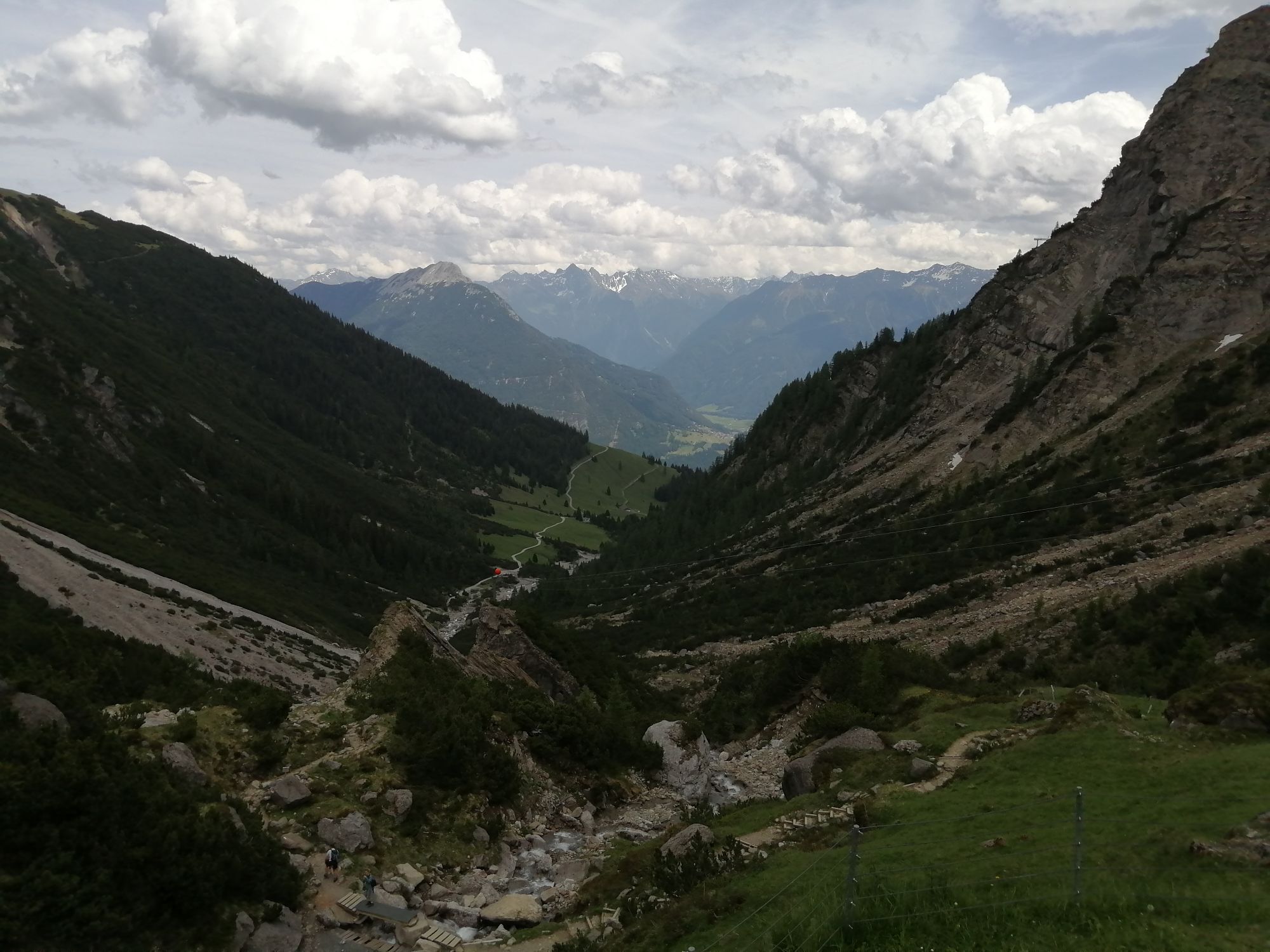
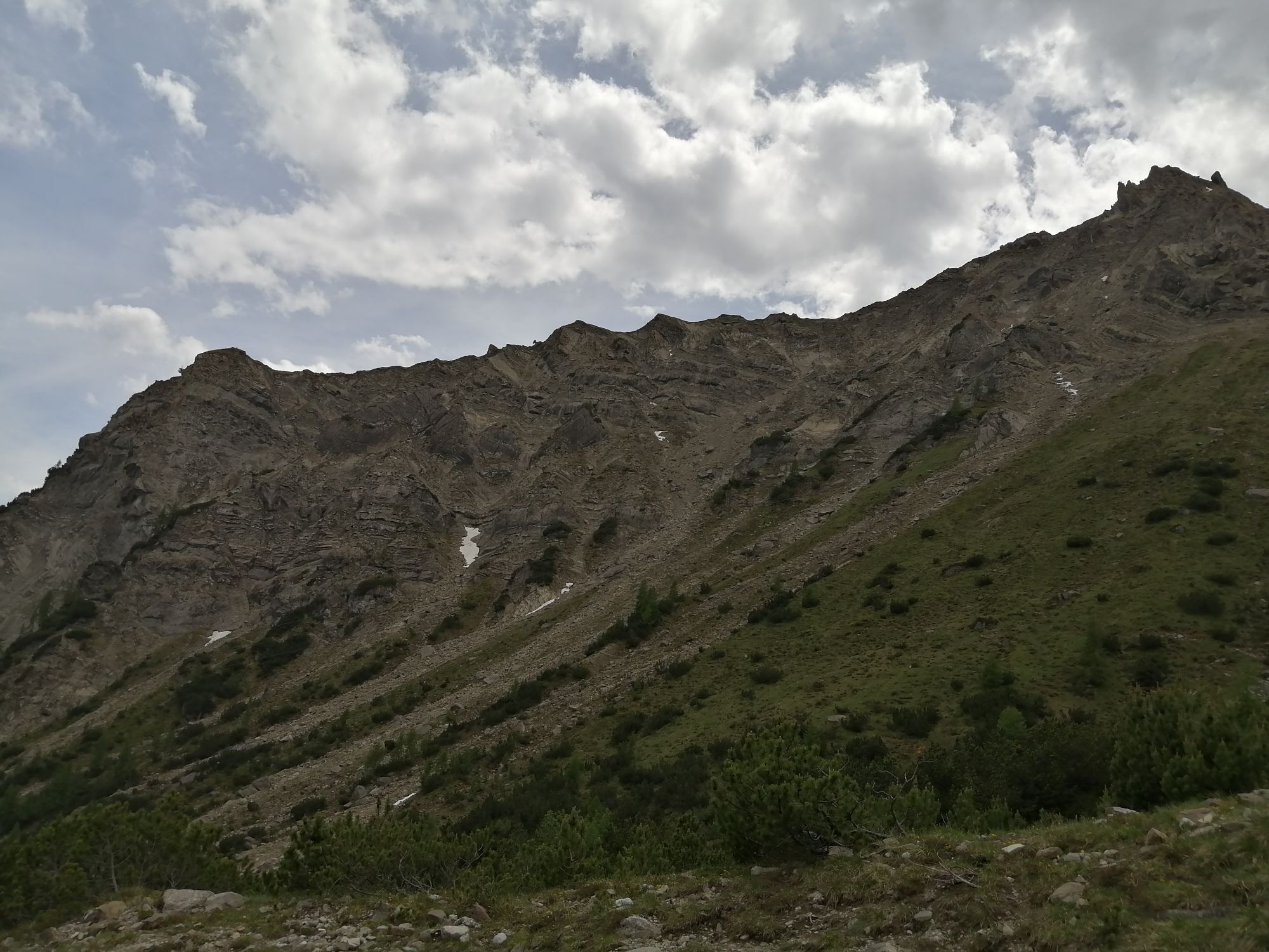
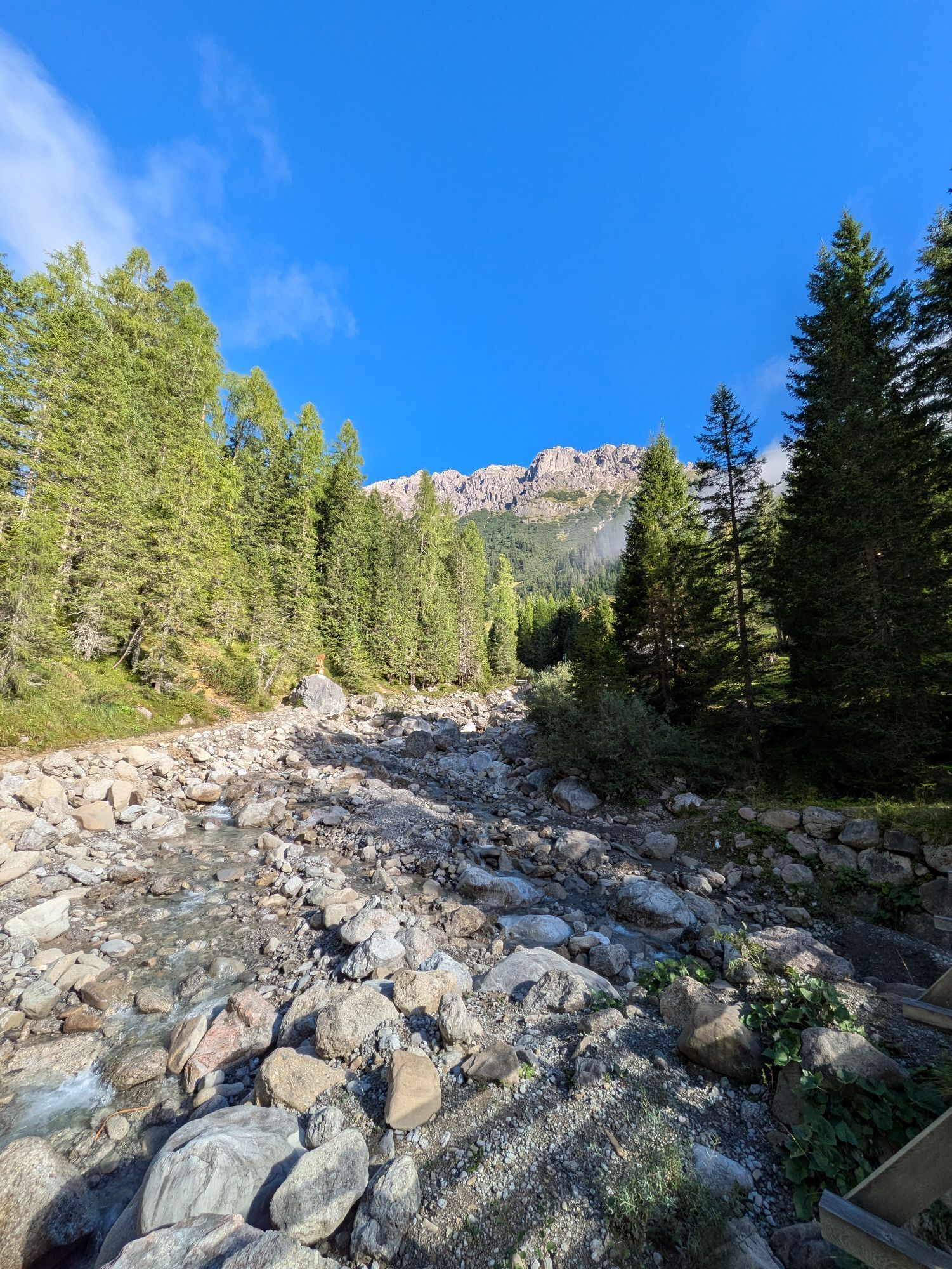
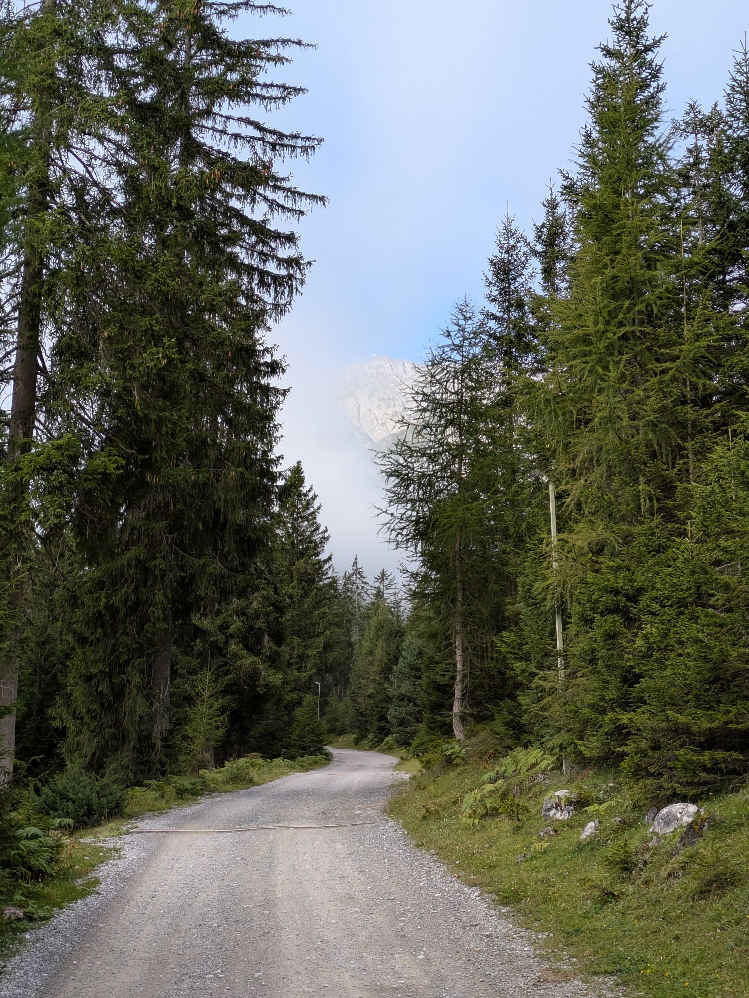
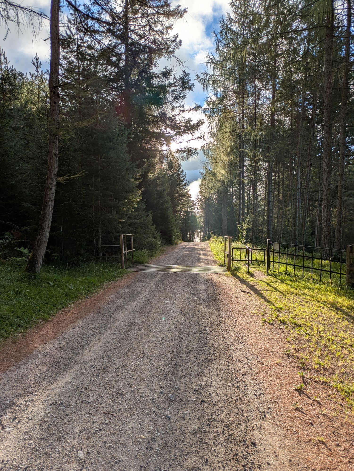
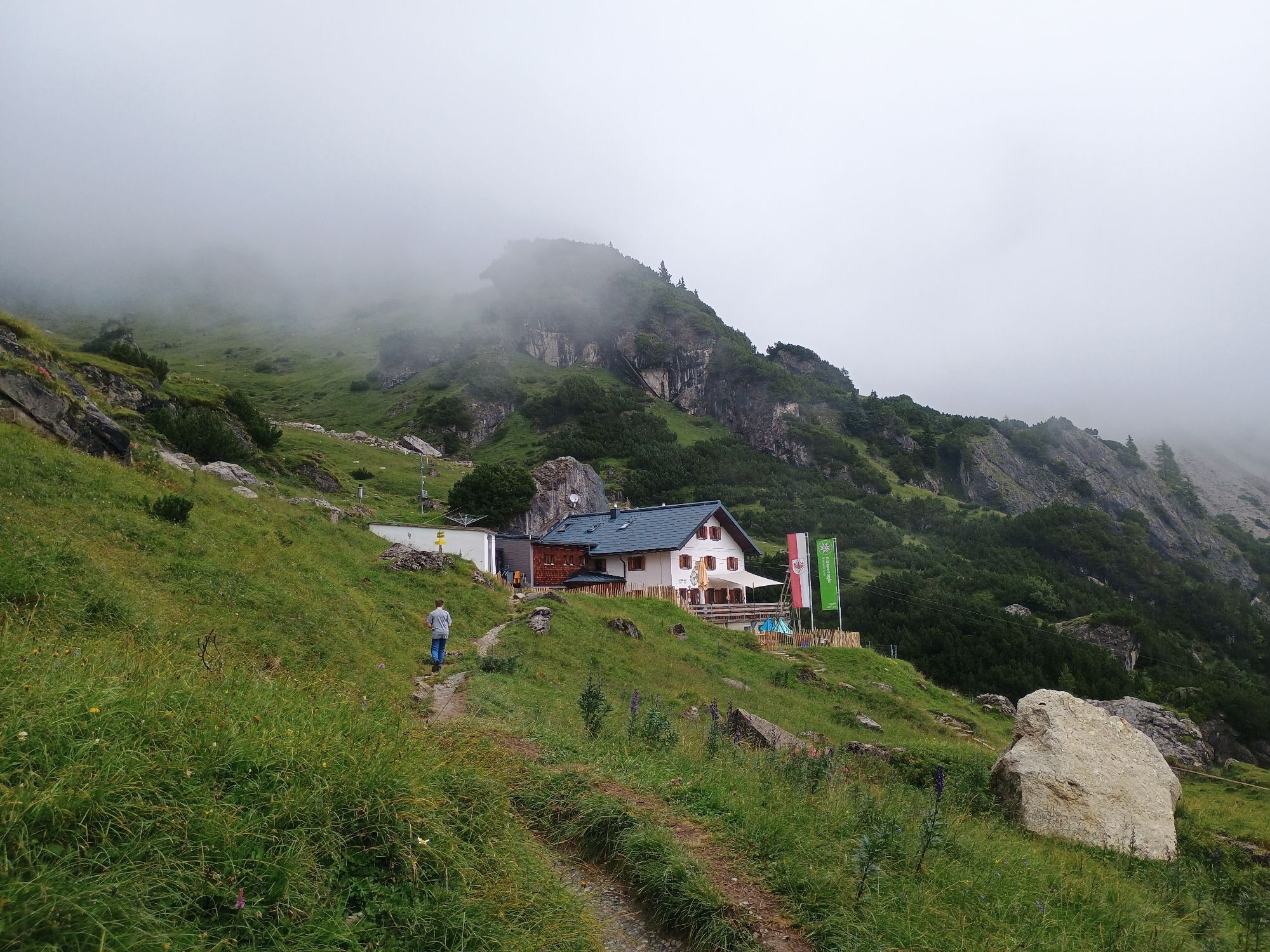
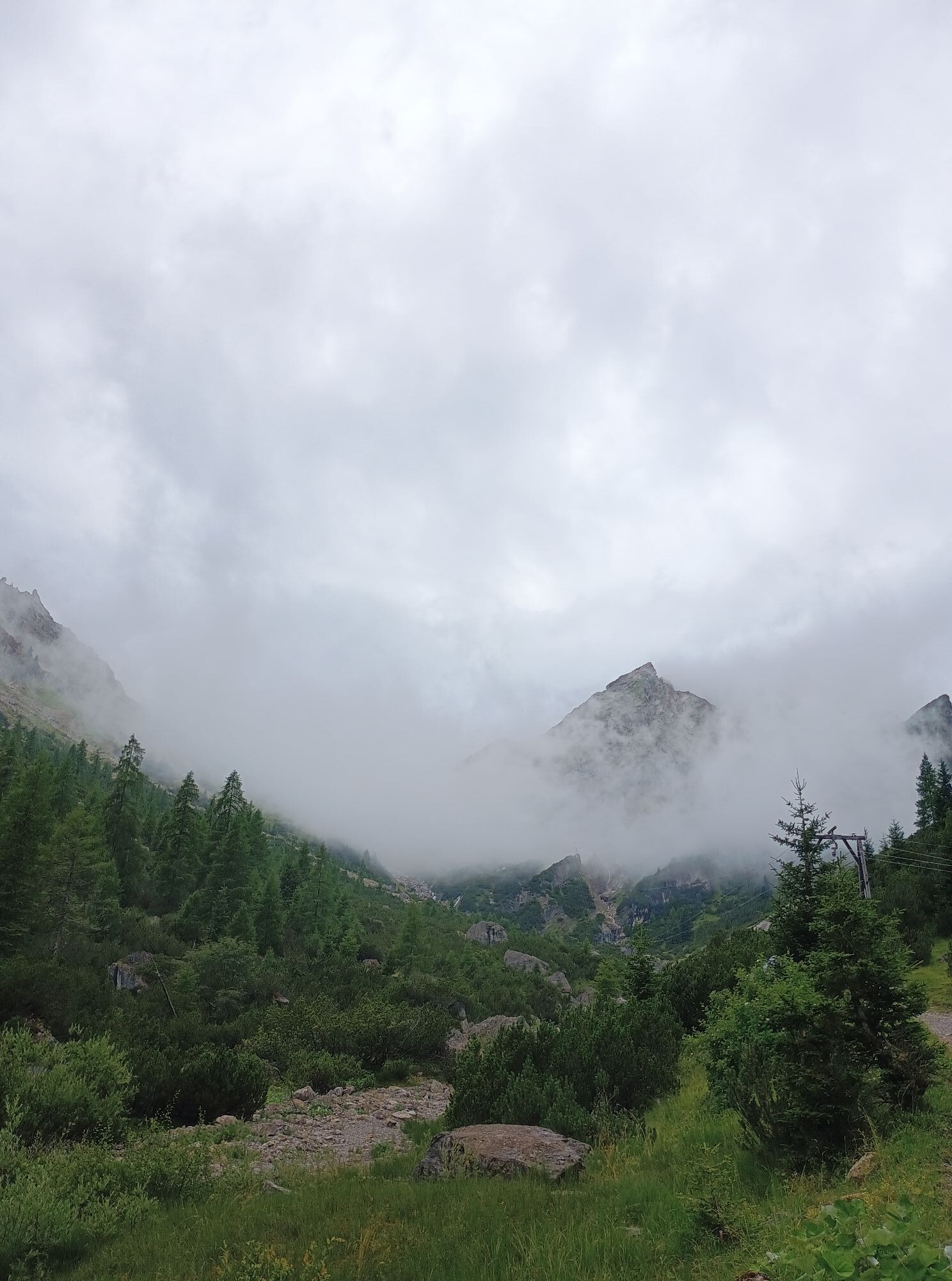
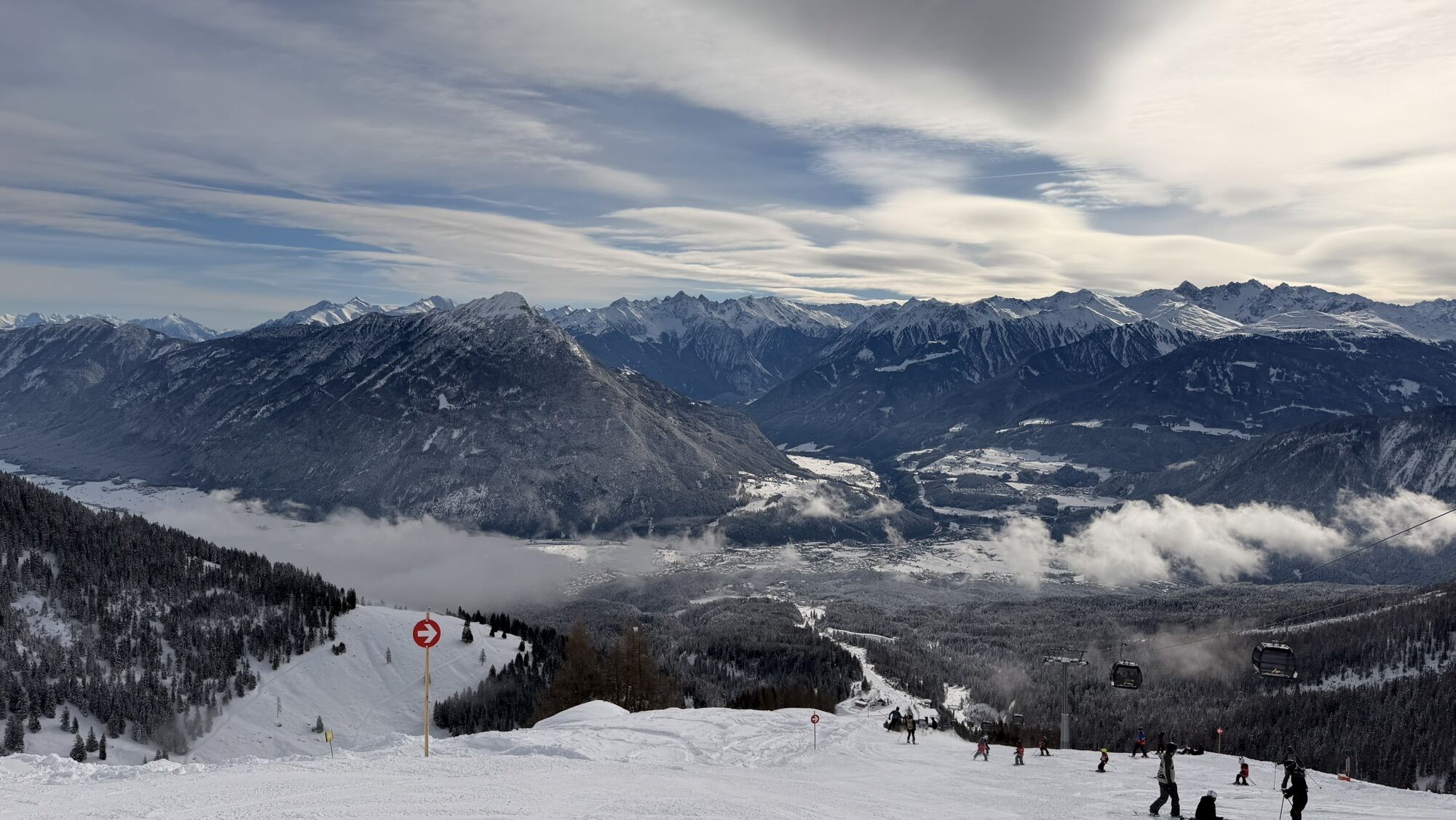
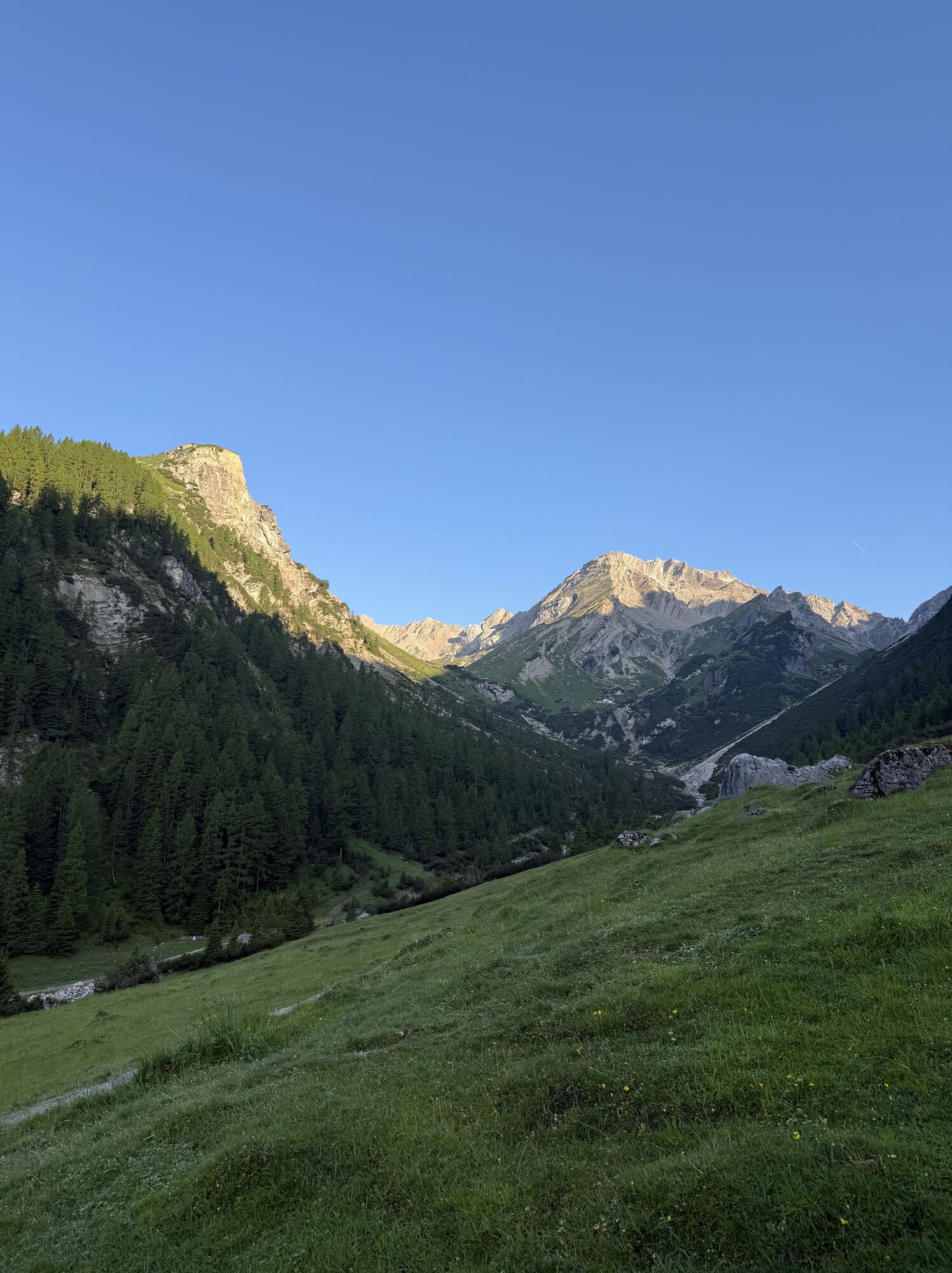
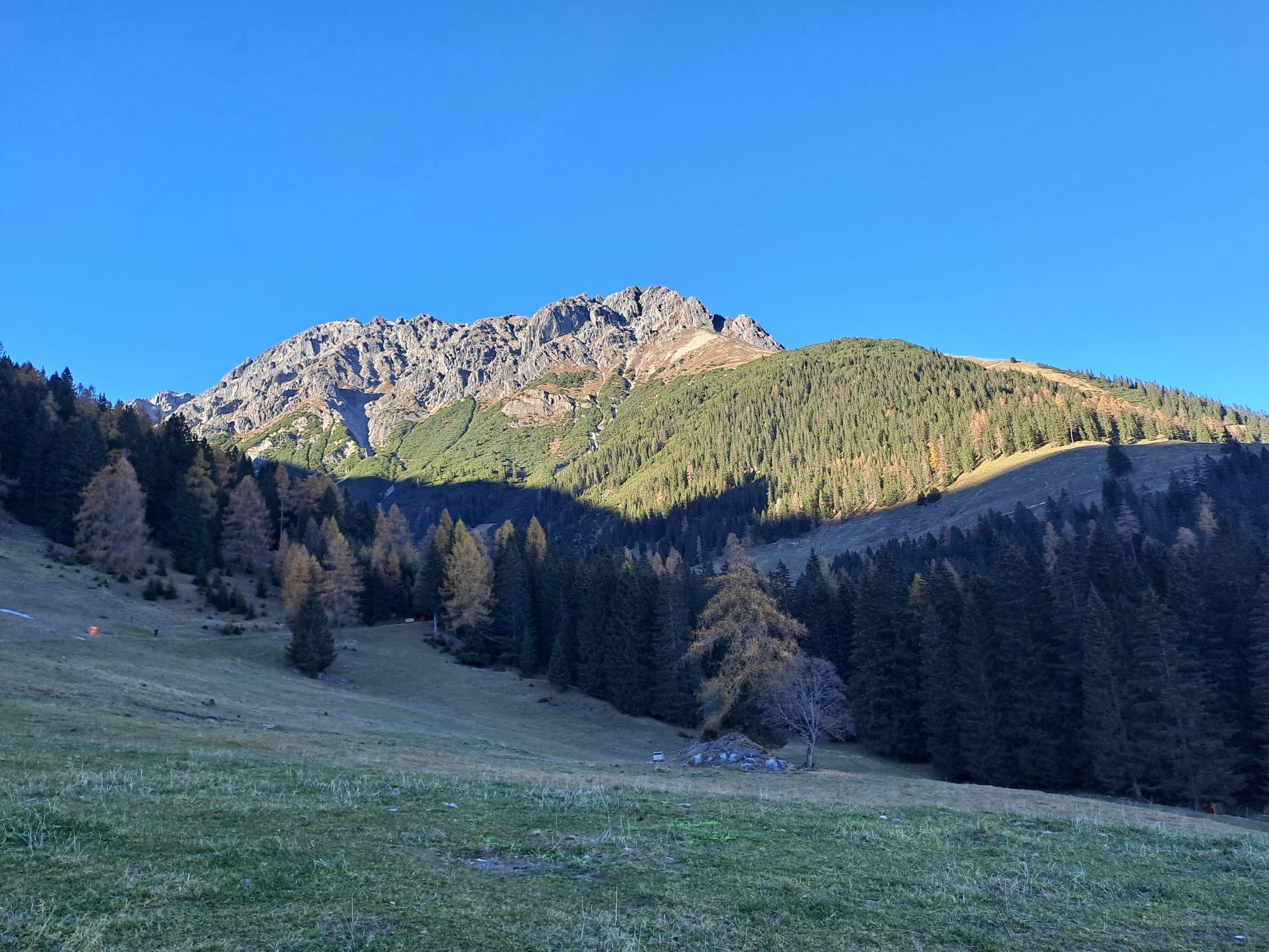
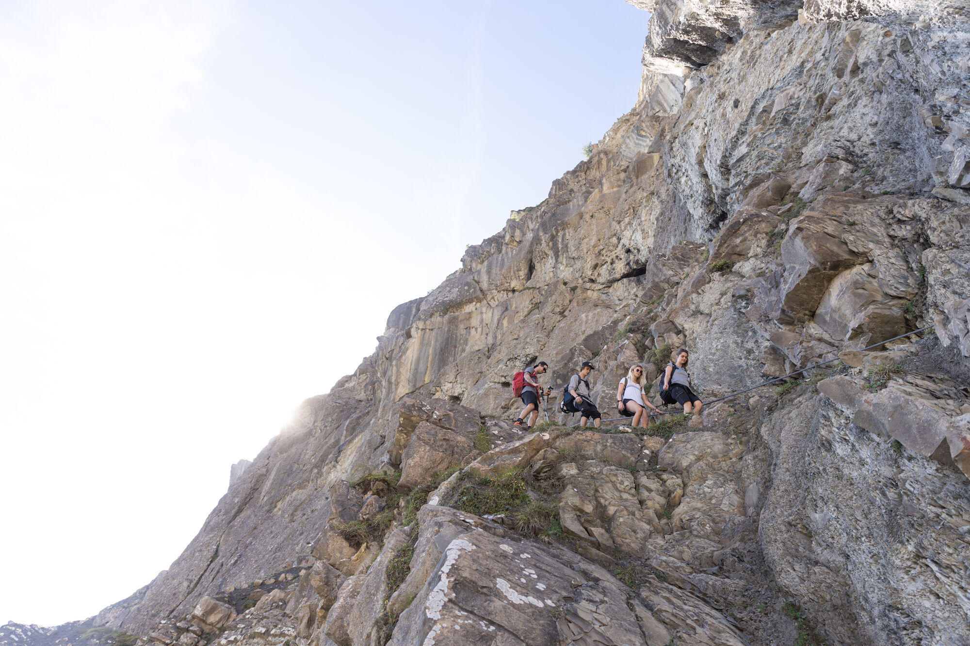
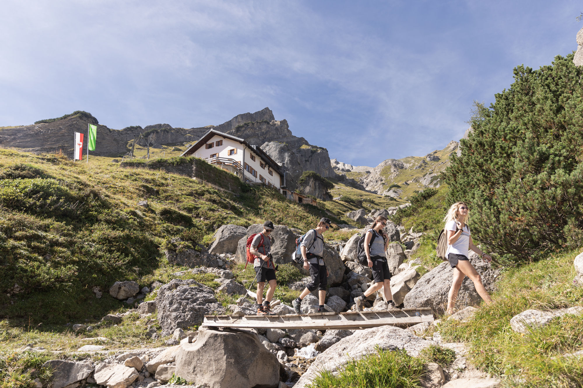
Von Hoch-Imst fährt man in zwei Sektionen mit dem Sessellift zum Alpjoch in rund 2100 Meter Höhe. Hier beginnt die Wanderung zurück hinab nach Hochimst. Zunächst wandern wir entlang des ausgesetzten, aber bestens versicherten Drischlsteigs insgesamt sanft absteigend hinunter zur Muttekopfhütte. Von der Muttekopfhütte auf dem Steig Richtung „Latschenhütte“ und den felsdurchsetzten Wiesenhang vor der Hütte hinab. Man überquert gleich einen Bach und erreicht bald eine Routengabelung – hier nicht auf dem bezeichneten „Plattigsteig“ weiter, sondern rechts hinunter dem markierten, aber unbezeichneten Steig folgen. Wenig später wird ein weiterer Bach überquert, die Strecke leitet schließlich zur Talstation der Materialseilbahn. Nun geht es auf dem Fahrweg orografisch links des Bachs sanft im Boden des vom Imster Hausberg Muttkopf abgeschlossenen Tals auswärts zur originellen Latschenhütte. Dort bei der Terrasse an „Jägersteig“ halten, den Bach überqueren und im lichten Wald gemütlich absteigend auswärts (Art Steiganlage), bis der Steig im Bereich einer Brücke in einen breiten Fußweg mündet; an der Stelle in gleich bleibender Richtung weiter zur Skipiste. Wir wandern dann den Fahrweg entlang auf der Piste abwärts zur Untermarkter Alm bei der Liftstation, wo sich auch der Startpunkt des Alpine Coasters befindet. Von hier erfolgt über die Forststraße der sanfte Schlussabstieg nach Hoch Imst (immer an den Lichtmasten orientieren).
Wer alternativ von der Untermarkter Alm rasant nach Hoch-Imst möchte, der steigt in einen Schlitten des Alpine Coasters ein.
Zwischen Muttekopfhütte und Hoch-Imst ist die Strecke ident mit einer Etappe des Adlerwegs.

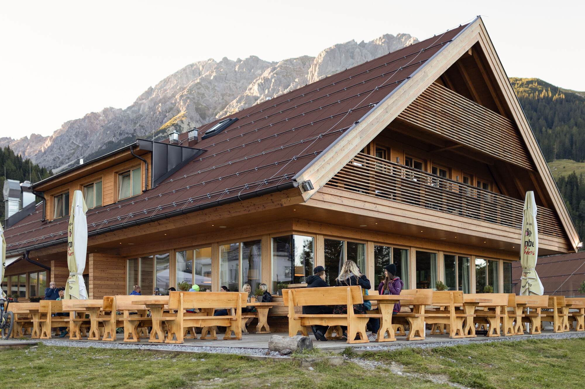
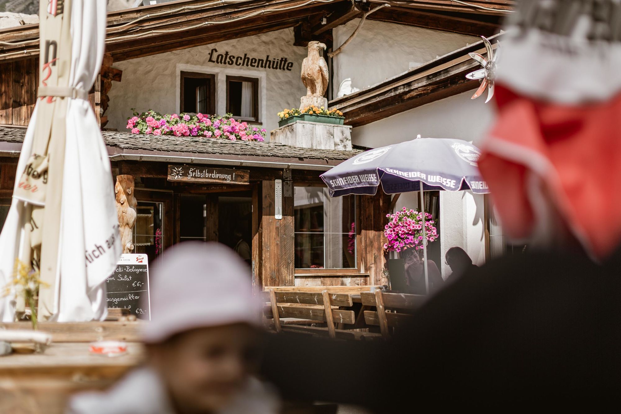
Muttekopfhütte, Latschenhütte, Untermarkter Alm;
Tourismusverband Imst-Gurgltal
Actividades a lo largo del recorrido


Rutas populares en los alrededores
-
4,6
Trip Tirol ➤ Caminata a la Gruta Azul de la garganta Rosengarten en Imst
medioSenderismo 4,86 km -
4,2
Panoramatour Venet Alm
medioSenderismo 10,1 km -
4,7
Bschlabs-Hölltal-Bschlaber Höhenweg zurück nach Bschlabs
medioSenderismo 7,06 km -
3,7
Auerklamm
medioSenderismo 3,46 km -
4,6
Obsteig - Simmering Alm
medioSenderismo 13,9 km -
4,5
E5 - 3. Etappe: Memminger Hütte - Zams
medioSendero de largo recorrido 14,8 km -
4,2
Muttekopf
medioSenderismo 8,03 km -
4,8
Wanderung von Gramais zum wunderschönen Kogelsee.
medioSenderismo 7,30 km -
3,0
Elmen-Stablalm
medioSenderismo 4,77 km -
Hanauer Klettersteig (C/D+) oder Variante über die leichtere Variante (B/C)
pesadoVía ferrata 10,1 km

Senderismo y rastreo


No se pierda las ofertas y la inspiración para sus próximas vacaciones
Su dirección de correo electrónico se ha añadido a la lista de correo.