


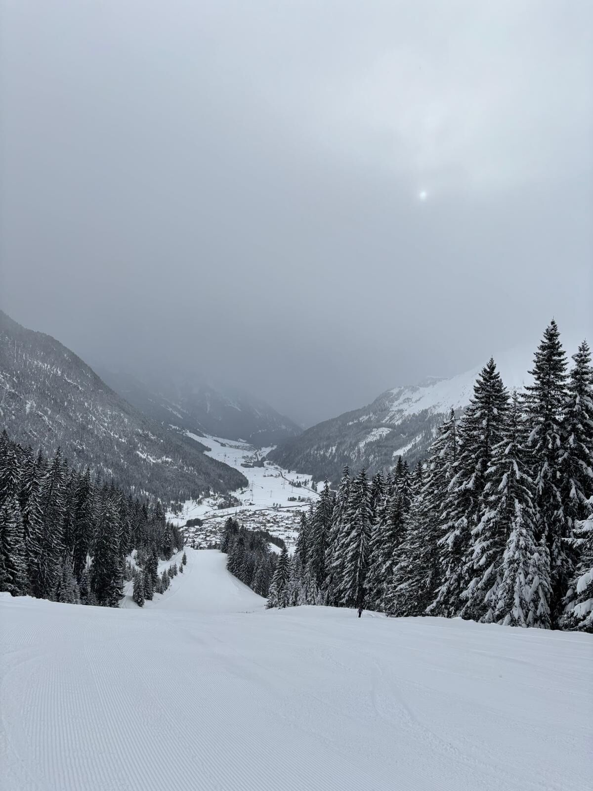
Valley trail to Bichlbach
The hike begins at the car park Sonnalmbahn / bus stop. Slightly rising towards the village until the first crossing at Hotel Edelweiß (No. 43 on the local map) / Heimatmuseum. Turn left (gently sloping)...
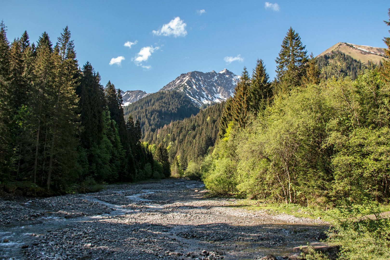
The hike begins at the car park Sonnalmbahn / bus stop. Slightly rising towards the village until the first crossing at Hotel Edelweiß (No. 43 on the local map) / Heimatmuseum. Turn left (gently sloping) on the paved road to the district "Tal". After the houses, the road leads into a wide, graveled hiking trail, gently sloping, past the Bearfoot Ranch (riding) and the Lähner Alm (closed). Keep right there, along the brook "Talbach", cross the bridge and continue straight. (Possibility turn right to Kleinstockach / Bichlbächle - refreshment stops).
Walk always along the brook "Talbach" until you reach the first car park in Bichlbach. Cross the road there and continue on a gravel path, turn left and cross the small bridge. Past the sports and leisure park to the car park in the village Bichlbach.
You can get back to Berwang either on the same path, via the hiking trail from Bichlbach to the Hochalm and descent to Berwang or by cable car Almkopfbahn Bichlbach up to the Hochalm and down with the chair lift Berwanger Sonnalmbahn to Berwang (note the opening times of the mountain railways).
There are also bus connections back to Berwang (note days and schedule).
Restaurants in Berwang, Kleinstockach, Bichlbächle oder Bichlbach
maps.zugspitzarena.com
Wanderkarte mit Tourenbooklet im Tourismusbüro Berwang erhältlich.
Sí
Sí
Sí
Appropriate clothing, sturdy shoes, rain protection, sun protection, hiking poles, sufficient water. No climbing equipment required.
IMPORTANT NOTES:
● Stay on the marked hiking trails
● Keep your distance from grazing animals
● Be aware of the mountain hut opening hours
● Alpine emergency call: 140
Summer & hiking bus of the Tiroler Zugspitz Arena (free with guest card or Z-ticket), Postbus (free with guest card or Z-ticket in the region)
Parkplatz Sonnalmbahn

Rutas populares en los alrededores
-
4,8
Thaneller
medioSenderismo 4,90 km -
4,4
Rundwanderung Stuibenfälle
medioSenderismo 3,92 km -
4,9
Sebensee/ Coburger Hütte
medioSenderismo 18,7 km -
4,8
Zugspitze über Stopselziehersteig
pesadoSenderismo 12,2 km -
4,8
Ehrwald - Hoher Gang - Seebensee - Drachensee - Coburger Hütte
pesadoSenderismo de montaña 14,6 km -
3,6
Rundwanderung Plansee
medioSenderismo 9,80 km -
4,7
Hönig over the Älplestal-valley
medioSenderismo 11,6 km -
4,7
Ehrwald / Drachensee / Coburger Hütte / Seebensee
medioSenderismo 14,8 km -
4,5
Schönjöchl am Plansee
medioSenderismo 7,21 km -
4,6
Traumhafte Panorama Plansee-Umrundung
luzSenderismo 13,8 km
Senderismo y rastreo


No se pierda las ofertas y la inspiración para sus próximas vacaciones
Su dirección de correo electrónico se ha añadido a la lista de correo.