


Lasörling altitude trail Stage 3 alternative Prägrater Törl
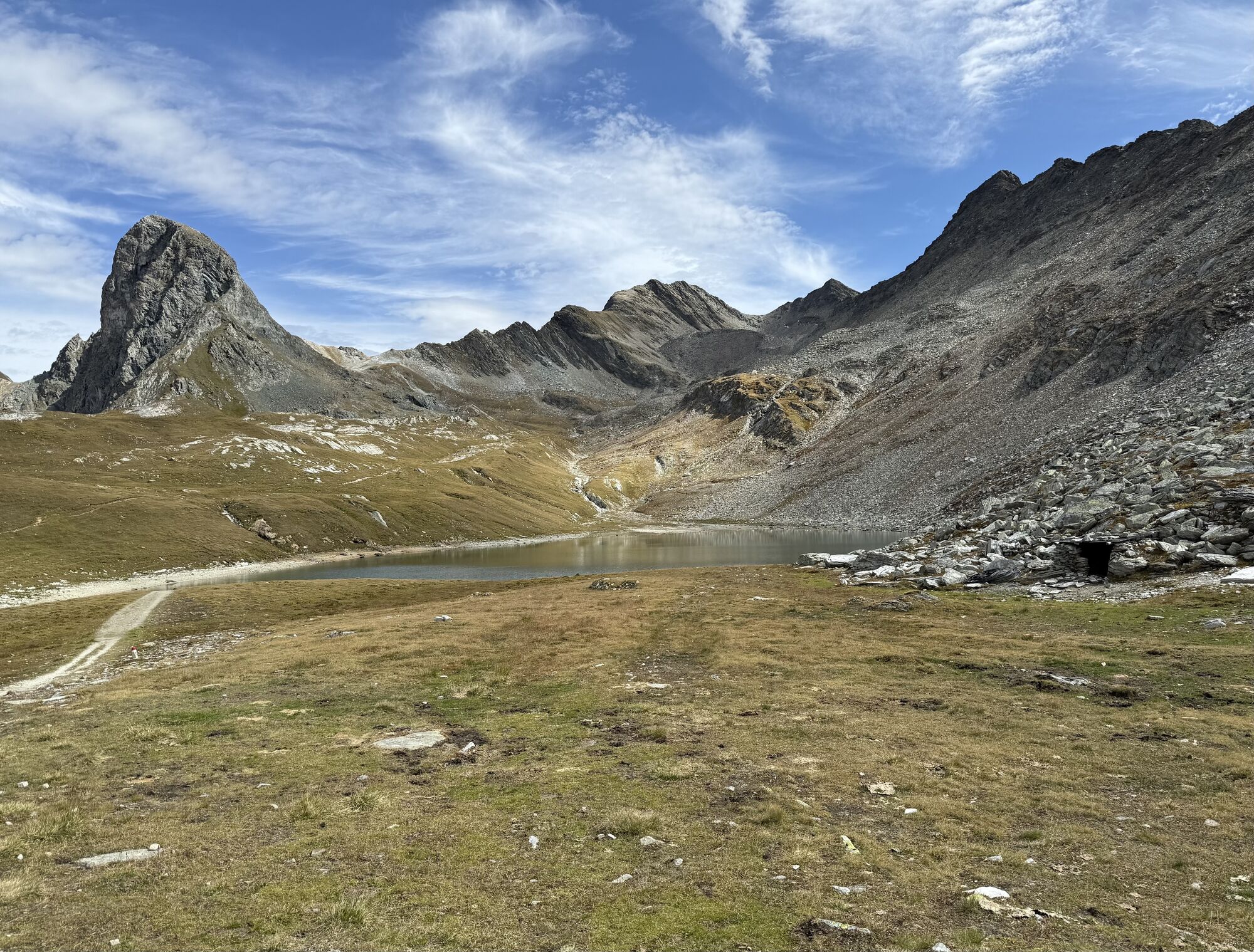
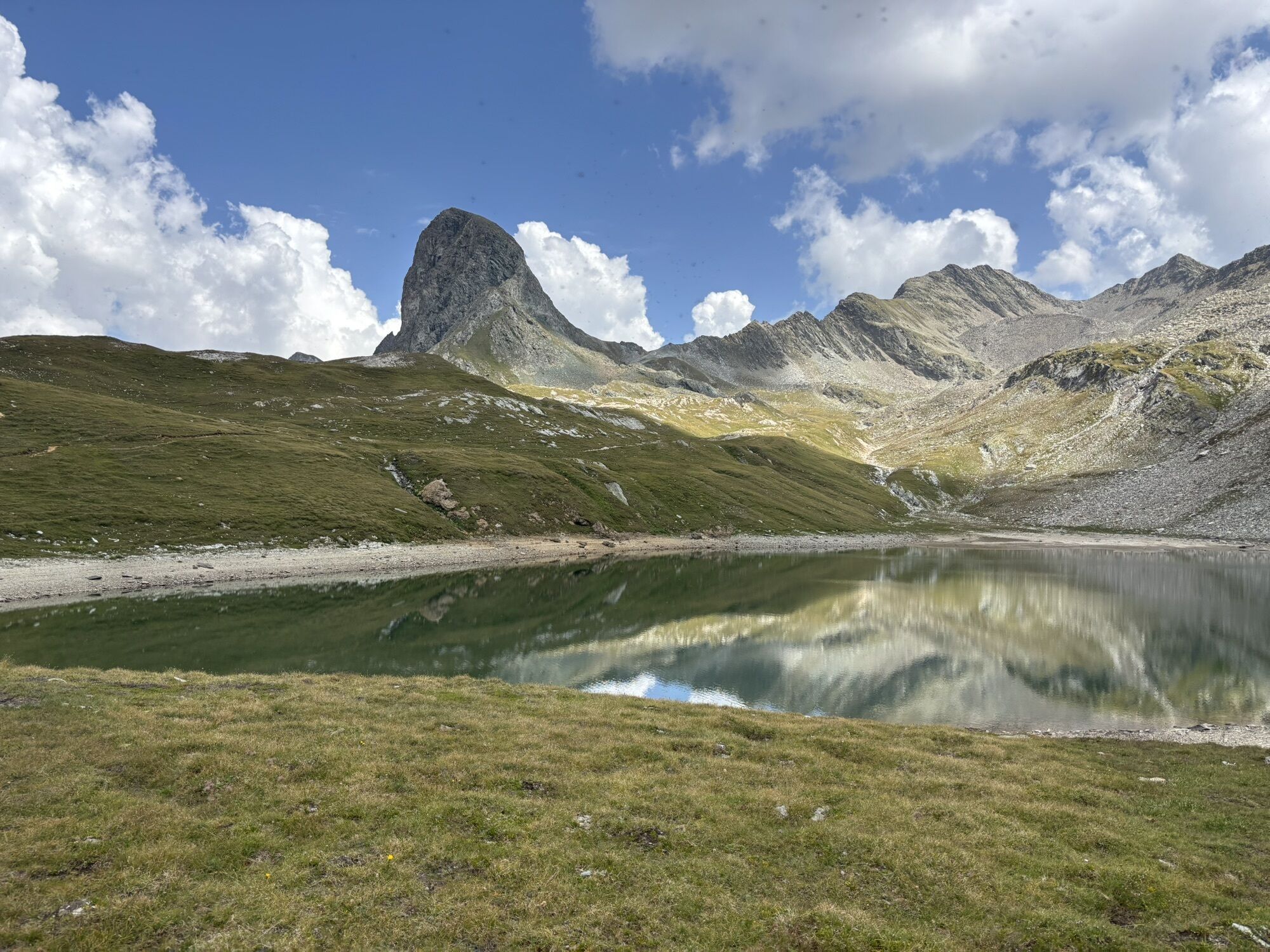
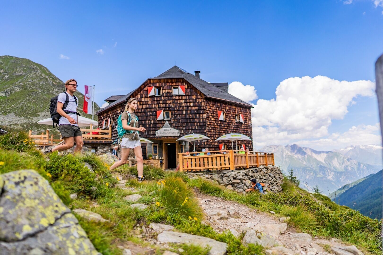
This alternative leads along the rear Mullitztal, past the old mines on the left, to the Prägarter Törl at 2,855m. The crossing is secured in places with a rope. However, you should not enjoy the view...
This alternative leads along the rear Mullitztal, past the old mines on the left, to the Prägarter Törl at 2,855m. The crossing is secured in places with a rope. However, you should not enjoy the view of the neighbouring Defereggen valley for too long, as there are still many hours of walking ahead of you. The trail then descends quite steeply next to the Michltalscharte, before heading back up to the Rote Lenke after the Kleinbachboden. Here you can still walk the short ascent to the Gösleswand on the right side. The view as far as the Dolomites compensates you for the exertions so far. From this crossing, the trail continues comfortably in the direction of Bödensee and the Neue Reichenberger Hütte.

Rutas populares en los alrededores
-
4,7
NaturKraftWeg Umbalfälle
luzSendero temático 5,99 km -
4,8
Stoden - Clarahütte
medioSenderismo 7,12 km -
4,9
Circular hike suspension bridge Isel Canyon via "Hohe Bank"
medioSenderismo 8,11 km -
4,7
Wiesbauerspitze 2.767 m
medioSenderismo 9,66 km -
5,0
Rote Wand
medioExcursión de alta montaña 12,0 km -
4,9
Oberhausalm - Jagdhaushütte
luzSenderismo 14,0 km -
4,2
Seespitze
medioSenderismo 13,7 km -
5,0
Muhs-Panoramaweg
medioSenderismo 14,0 km -
5,0
Kleiner Zunig, Matrei in Osttirol, Österreich Matrei in Osttirol, Österreich
medioSenderismo 12,6 km -
4,6
Iseltrail Stage 3
medioSenderismo 17,0 km
Senderismo y rastreo


No se pierda las ofertas y la inspiración para sus próximas vacaciones
Su dirección de correo electrónico se ha añadido a la lista de correo.