


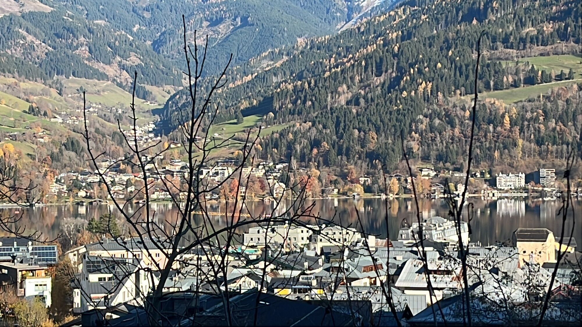
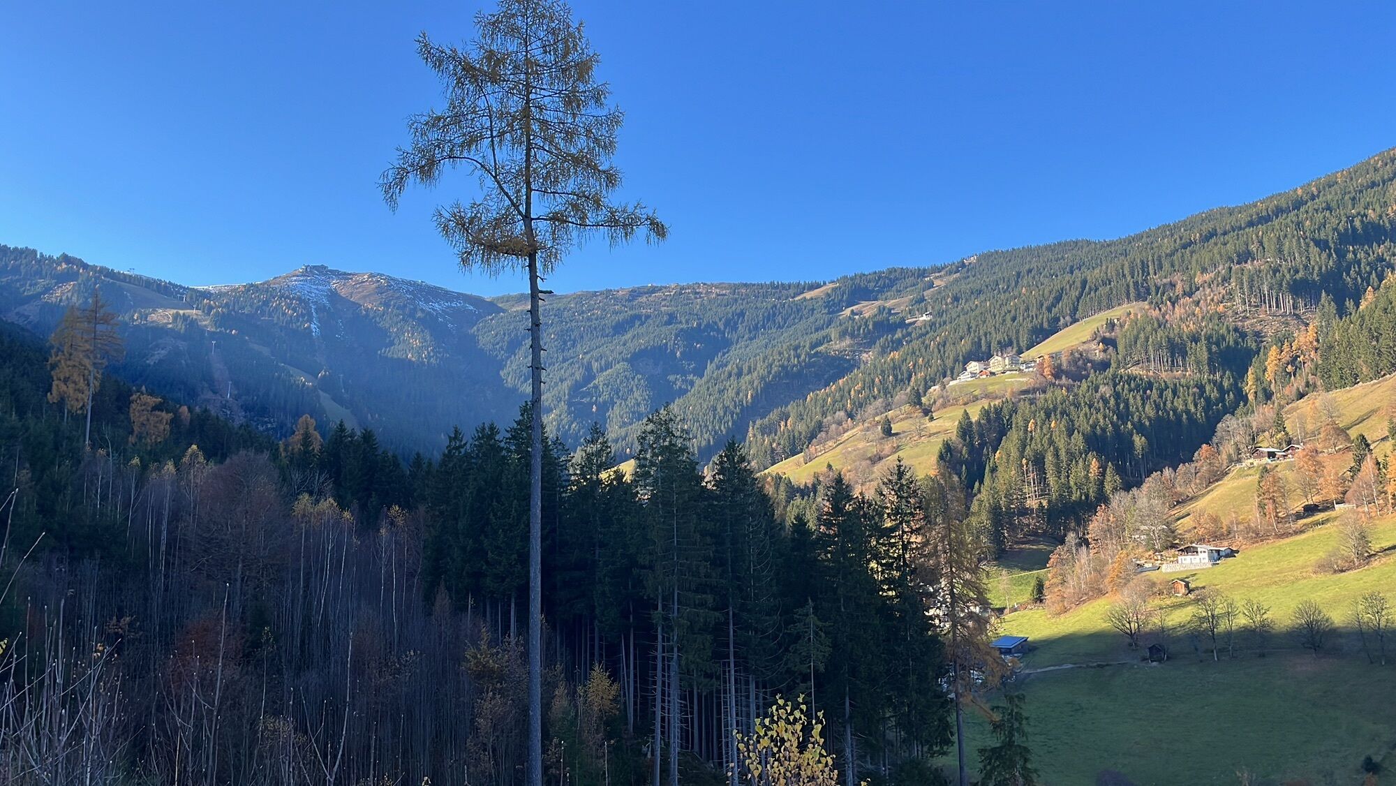
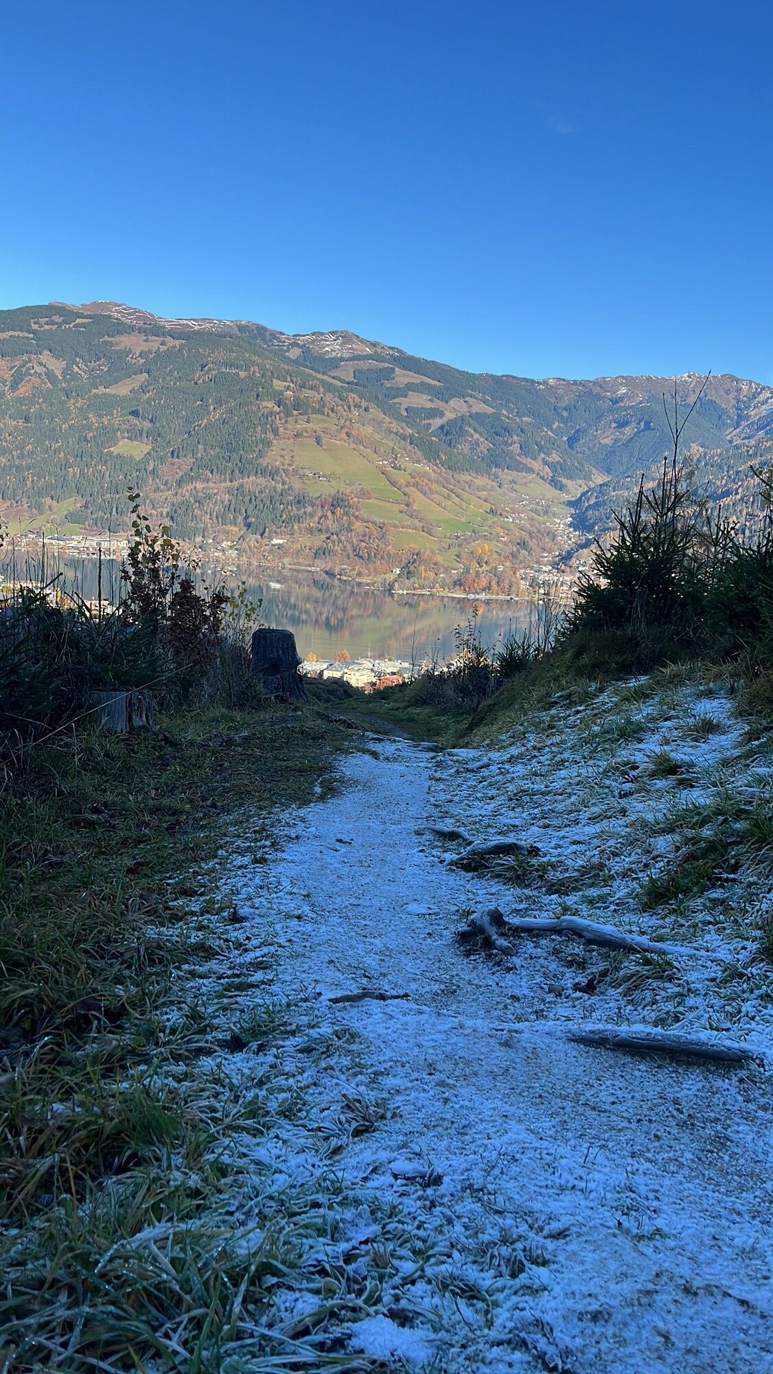
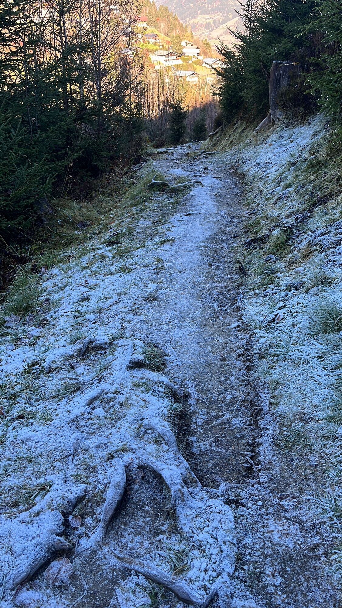
50 | Schmitten Hiking Trail
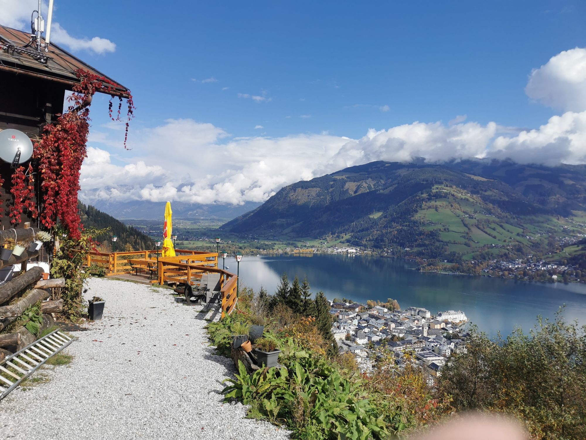
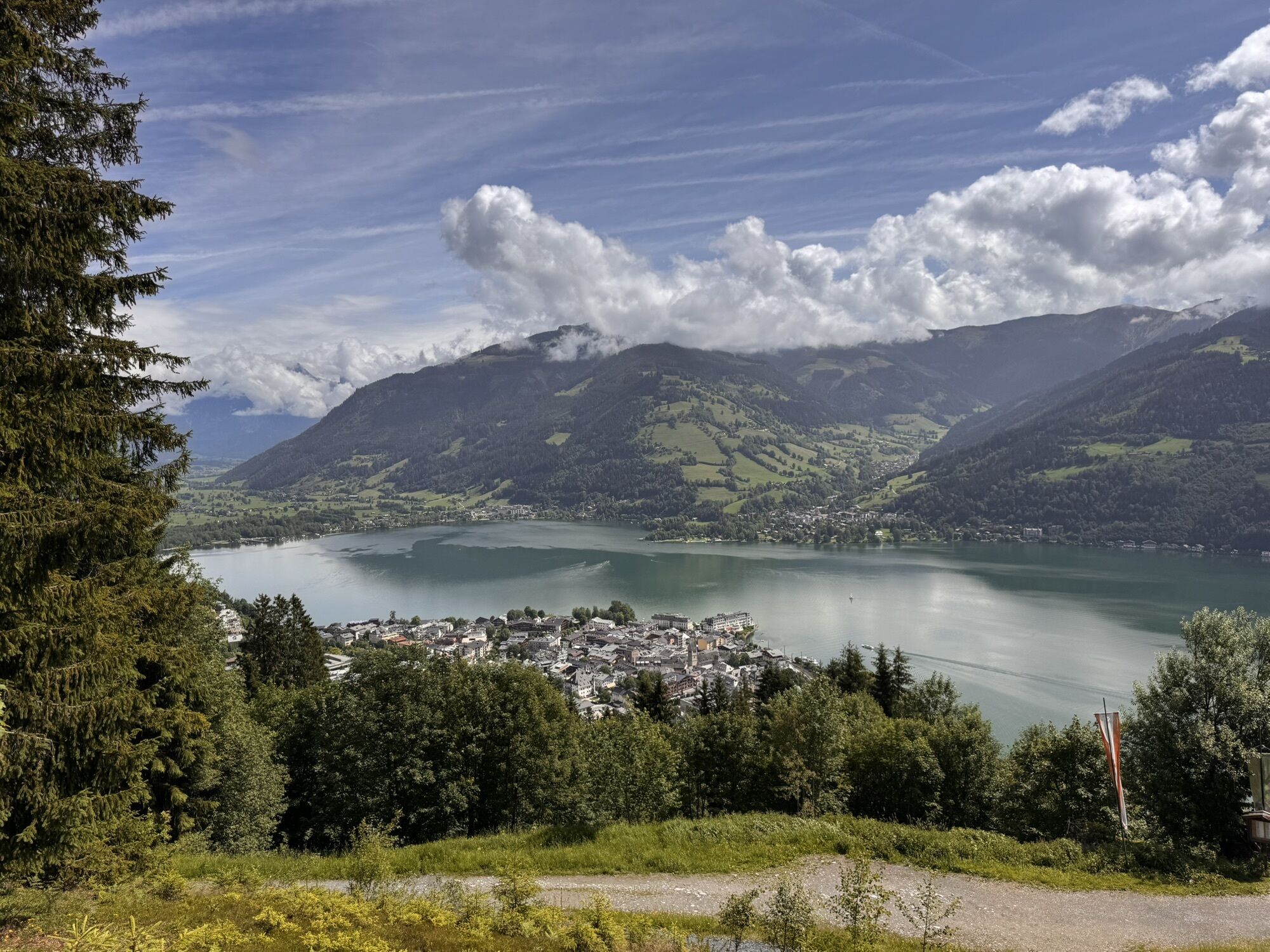
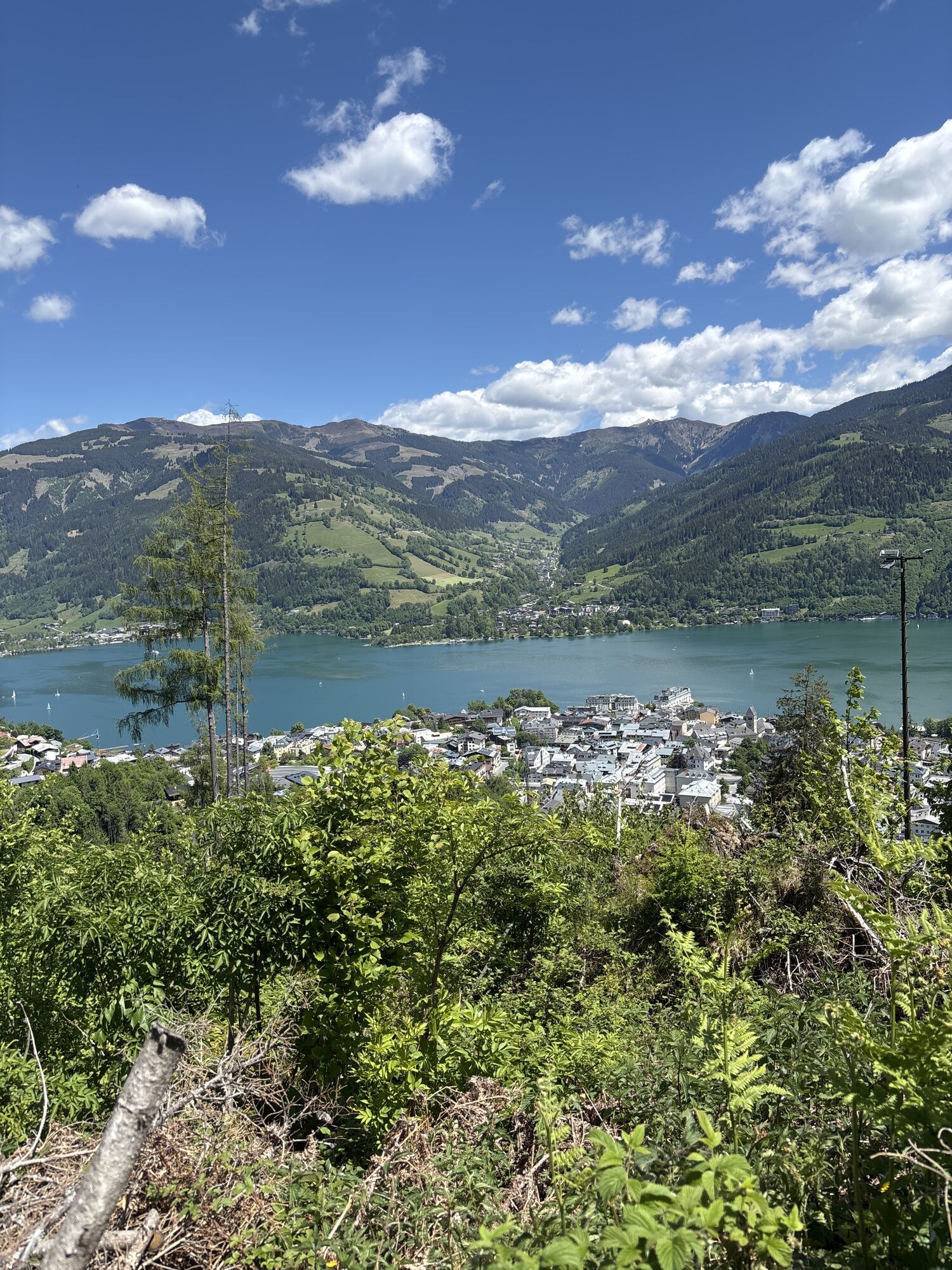
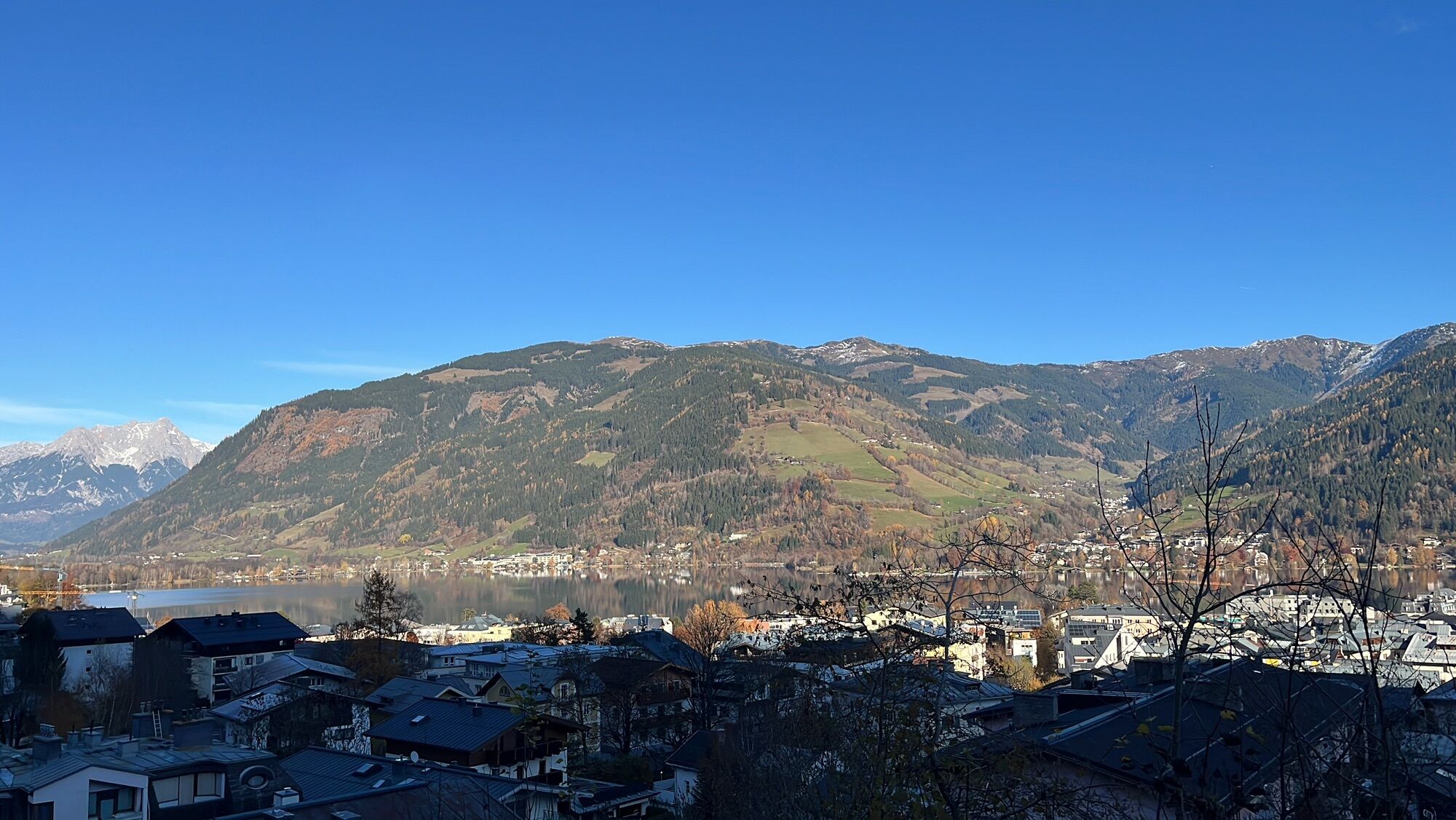
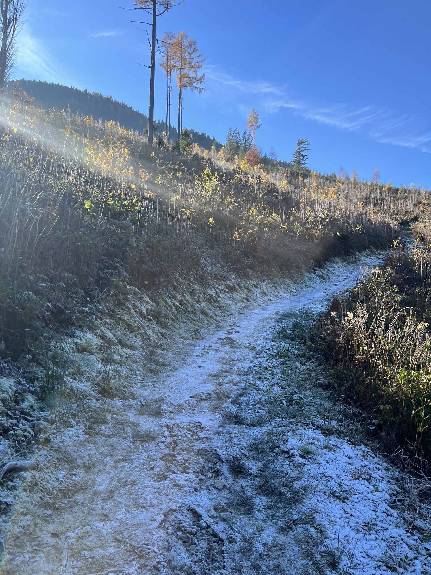
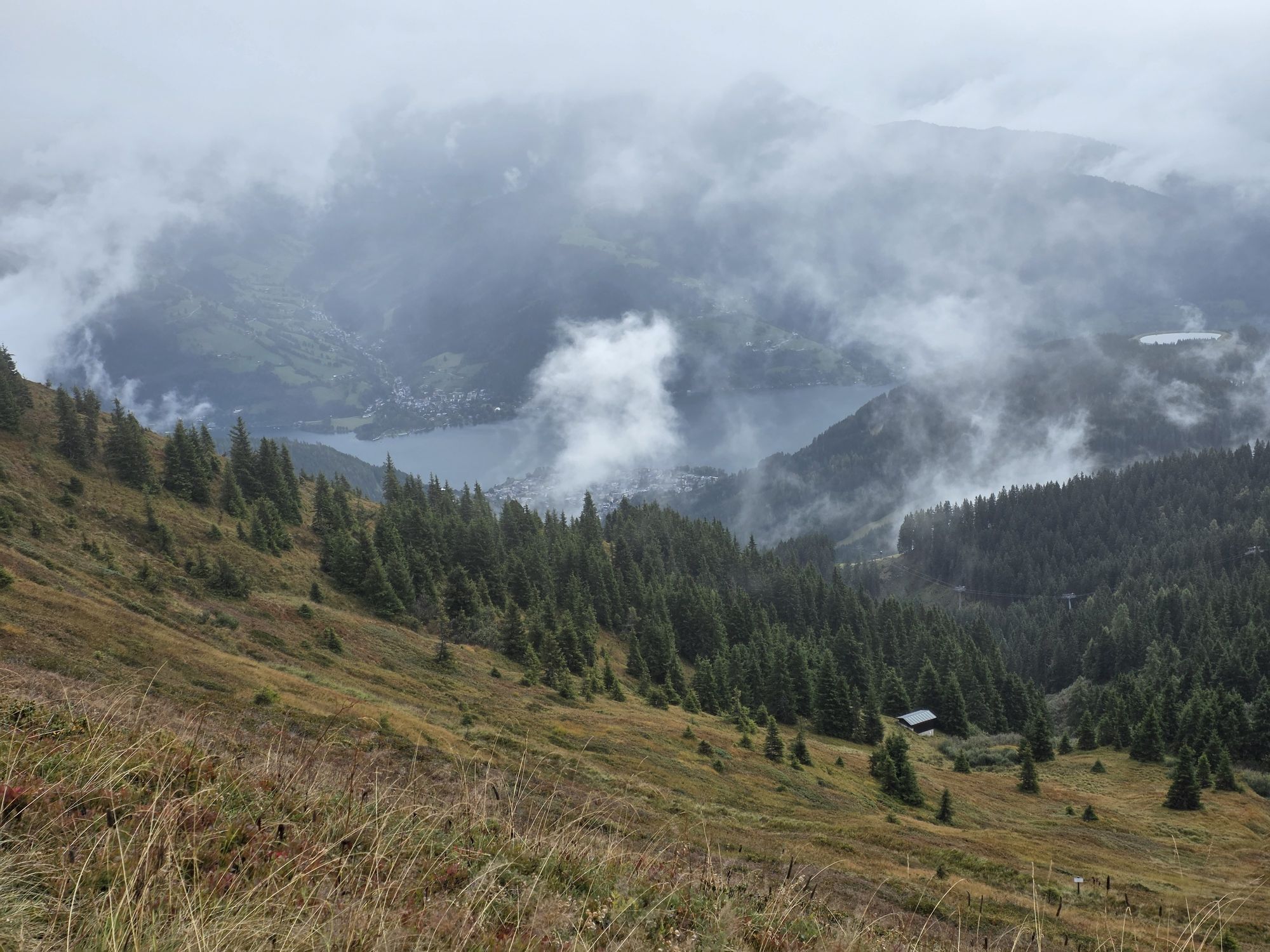


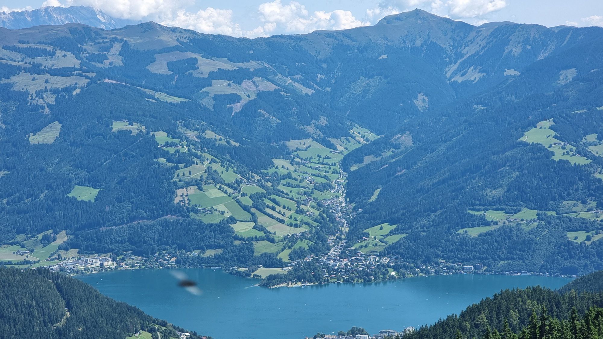
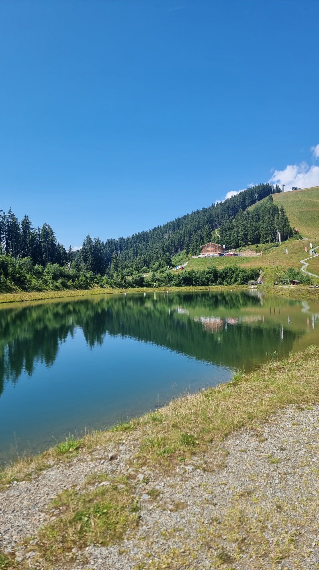
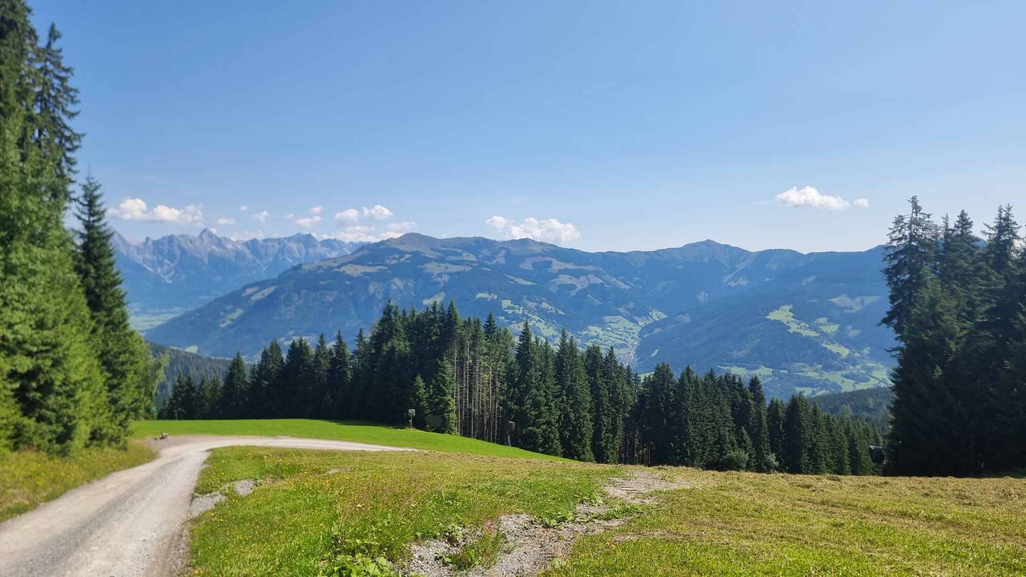
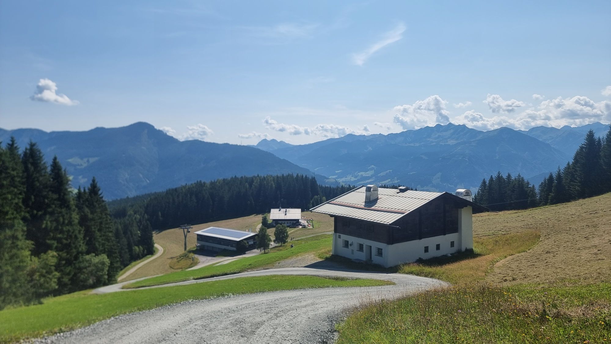
The trail leads to the Ebenbergalm via an easily accessible path. It then continues through the forest to the cityXpress mountain station. From there, the trail runs parallel to the Schmittenhöhenweg No....
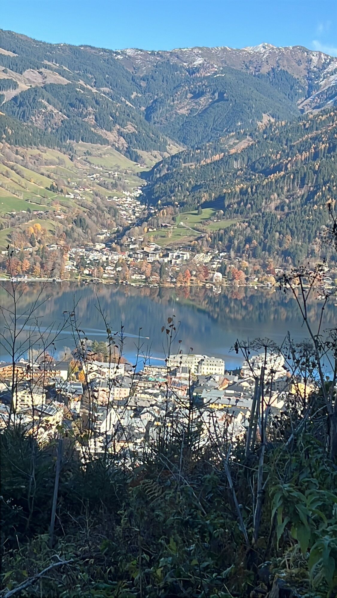
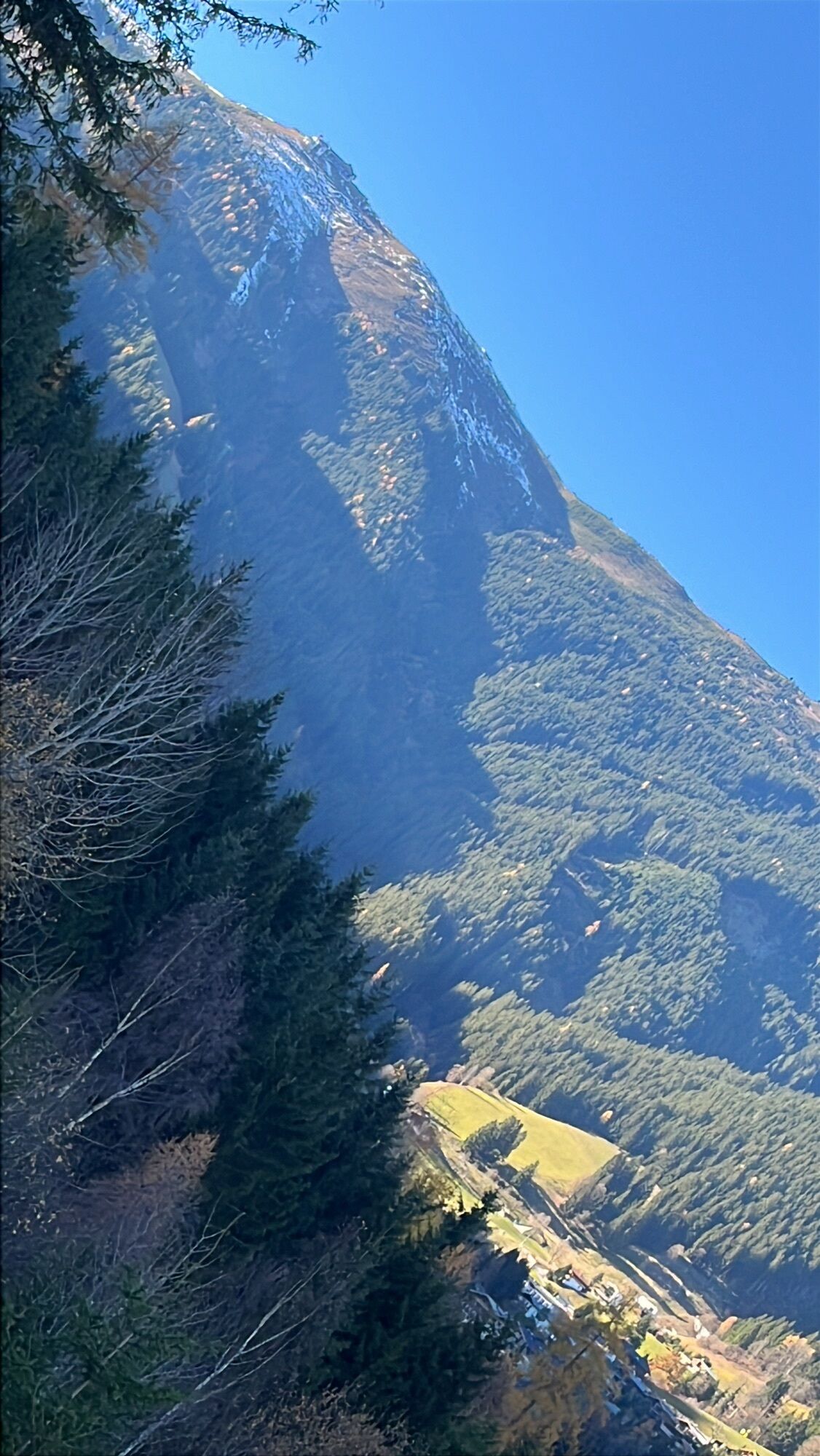
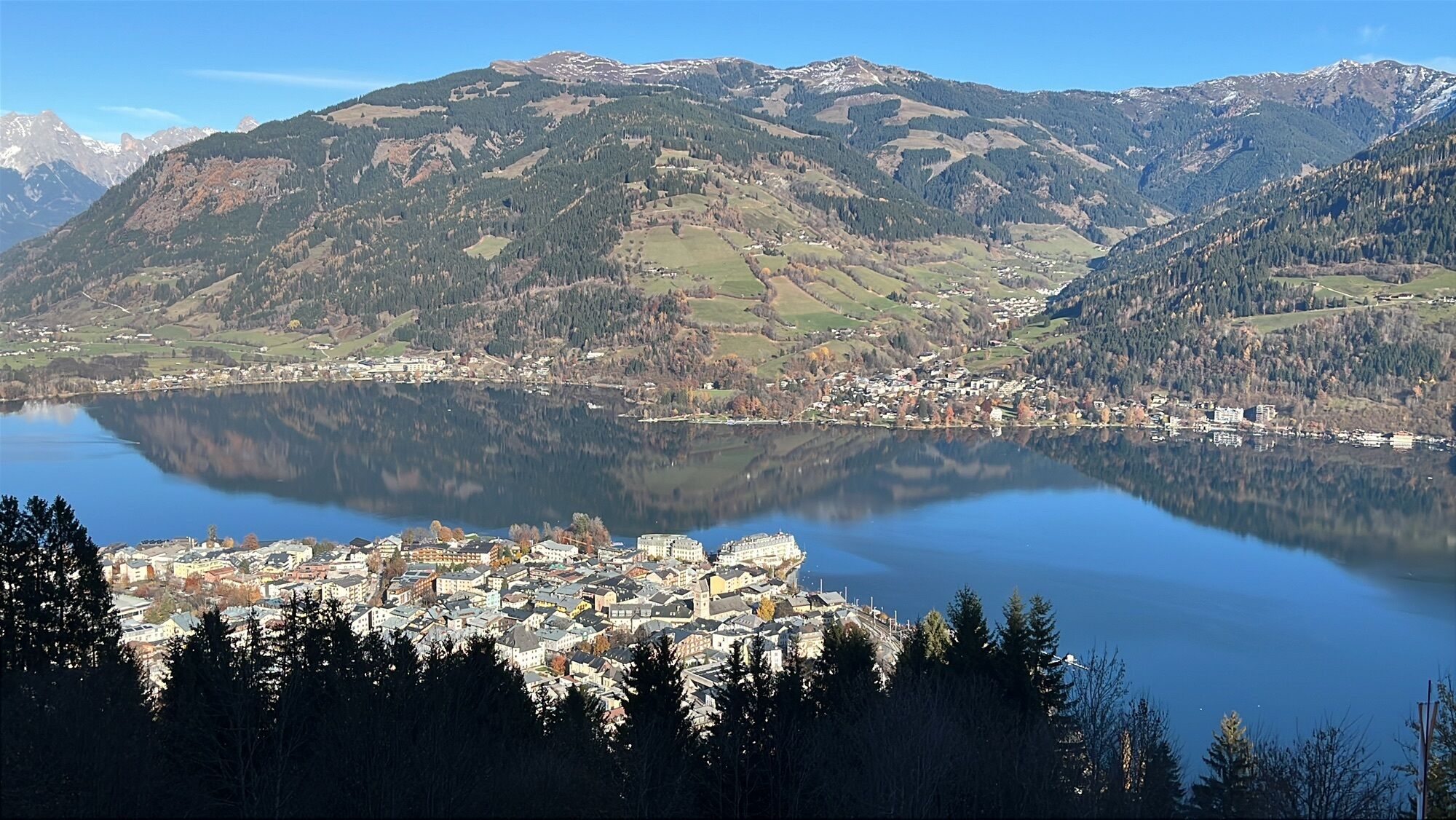
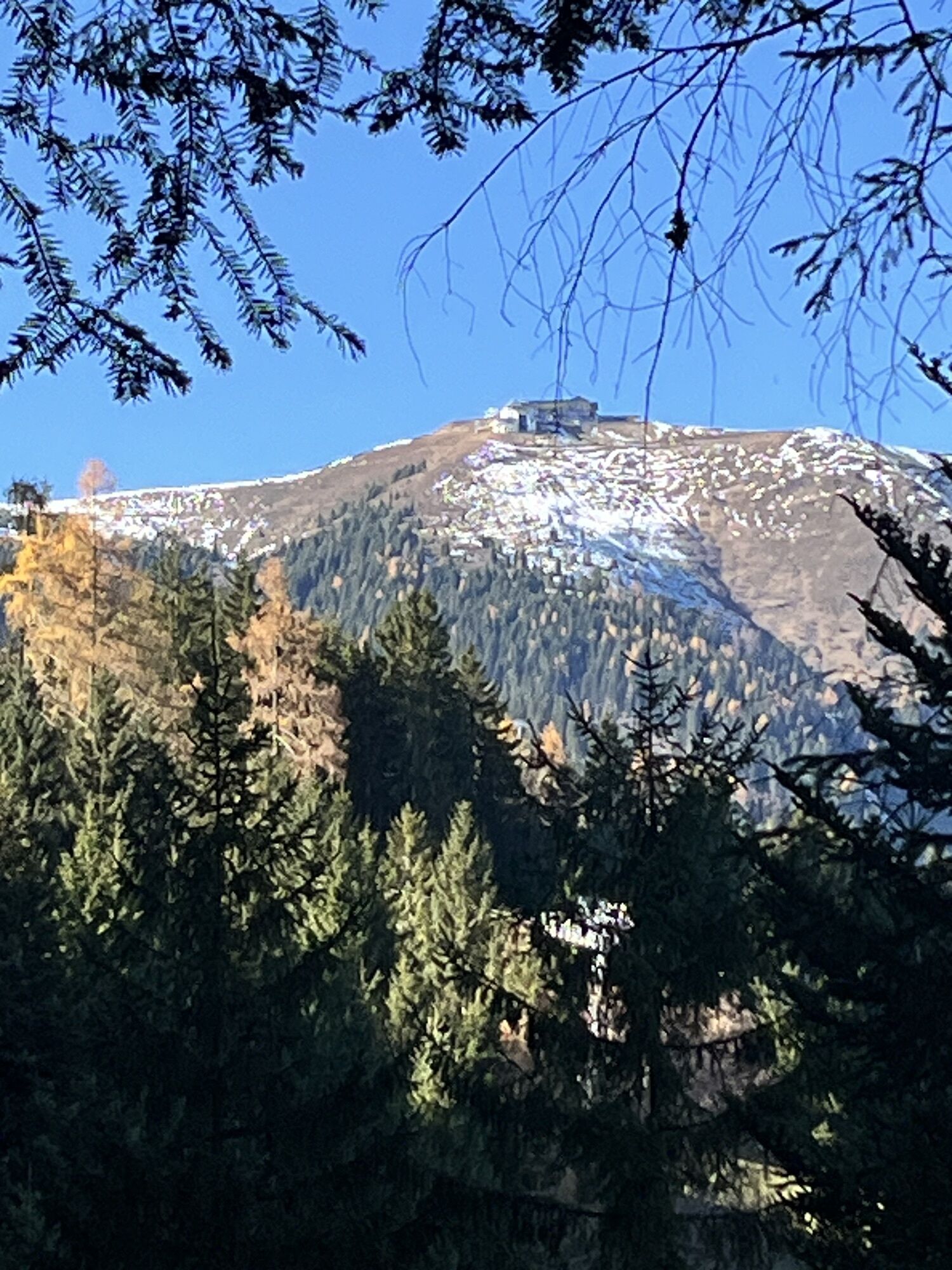
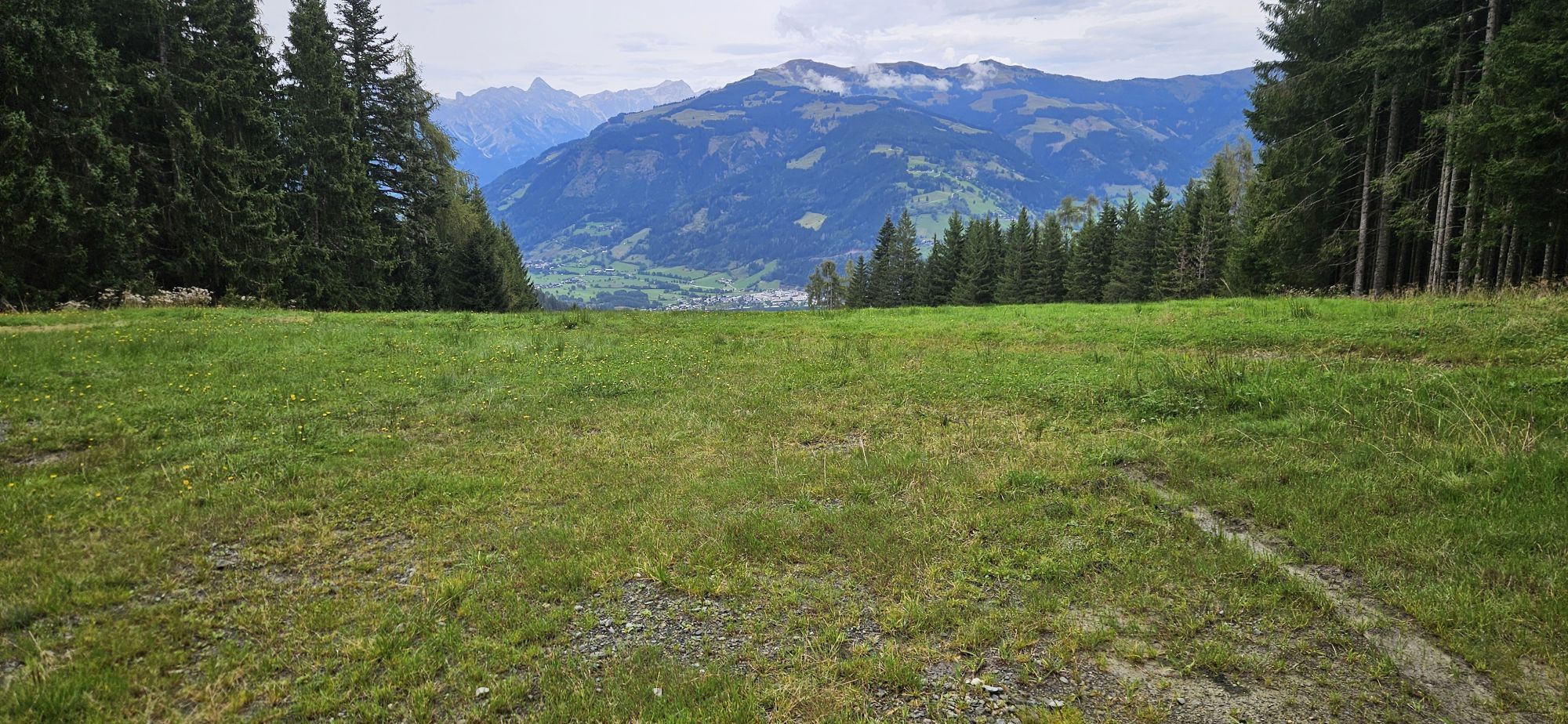
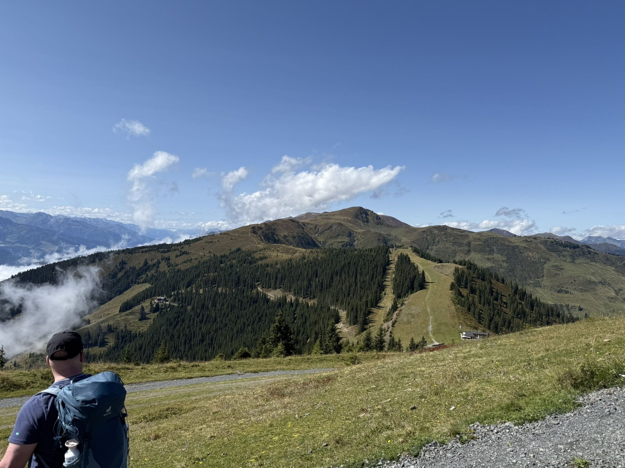
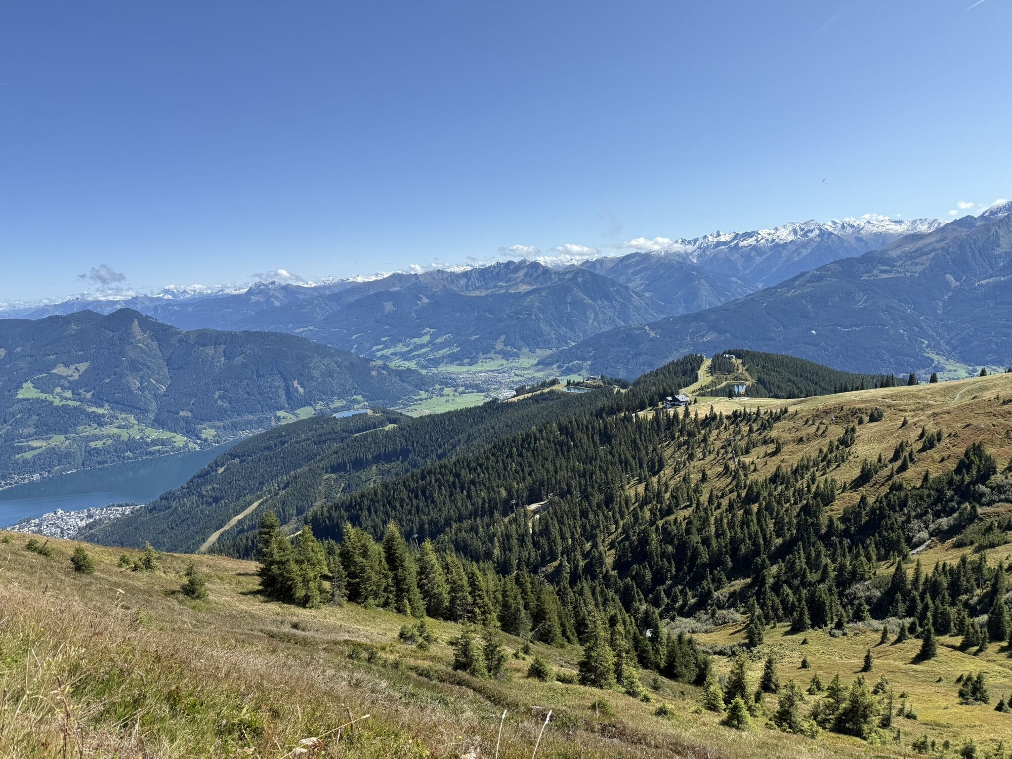
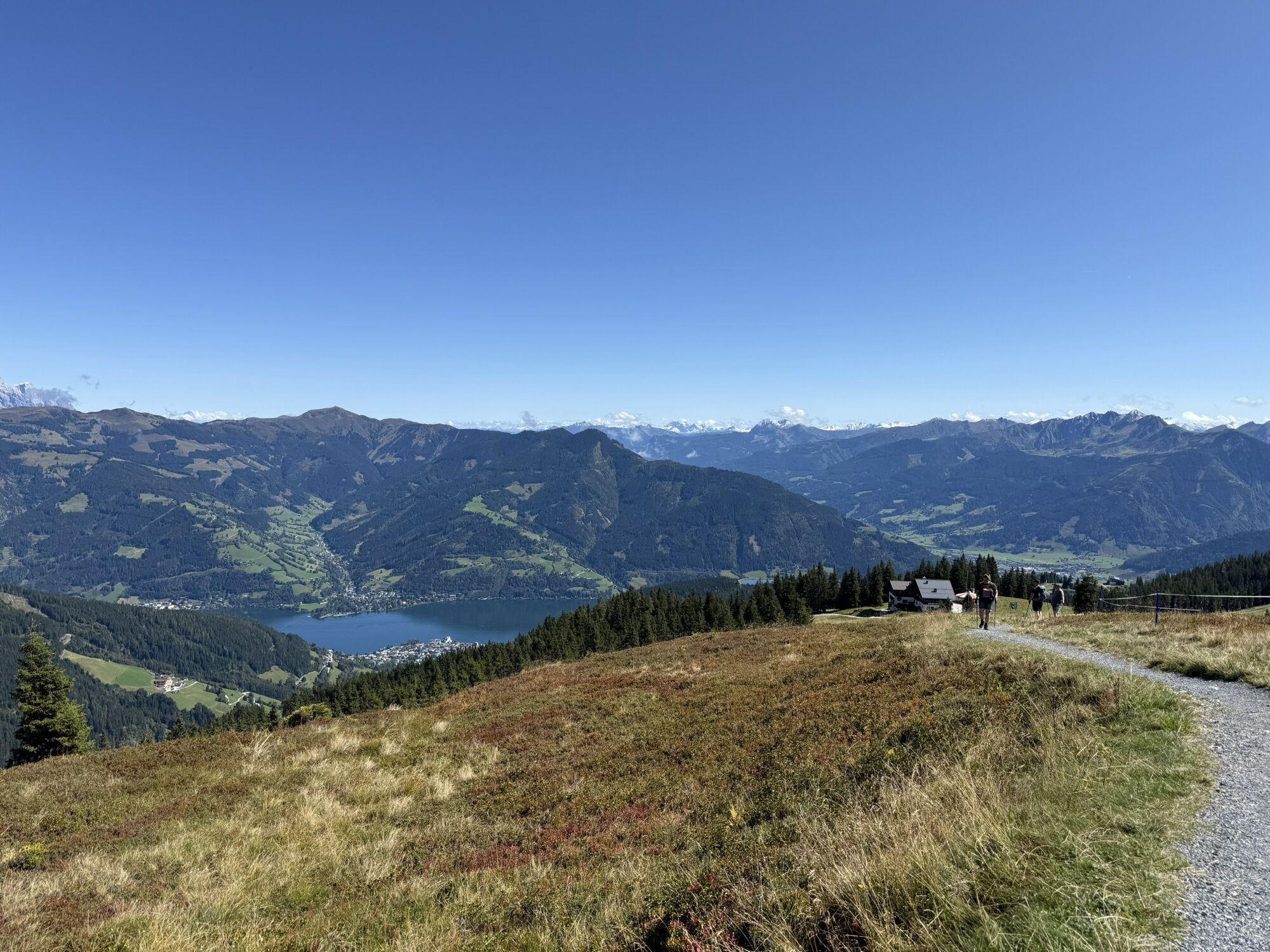
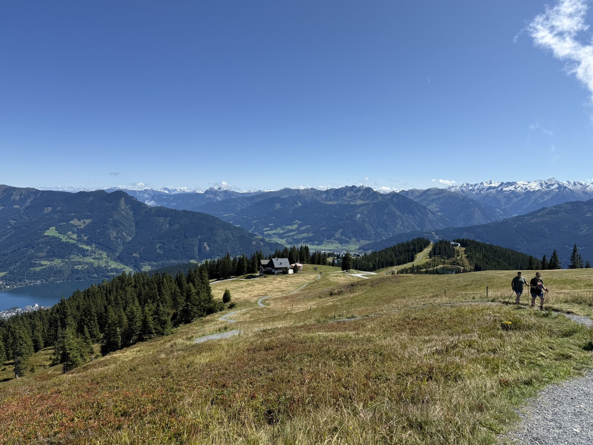
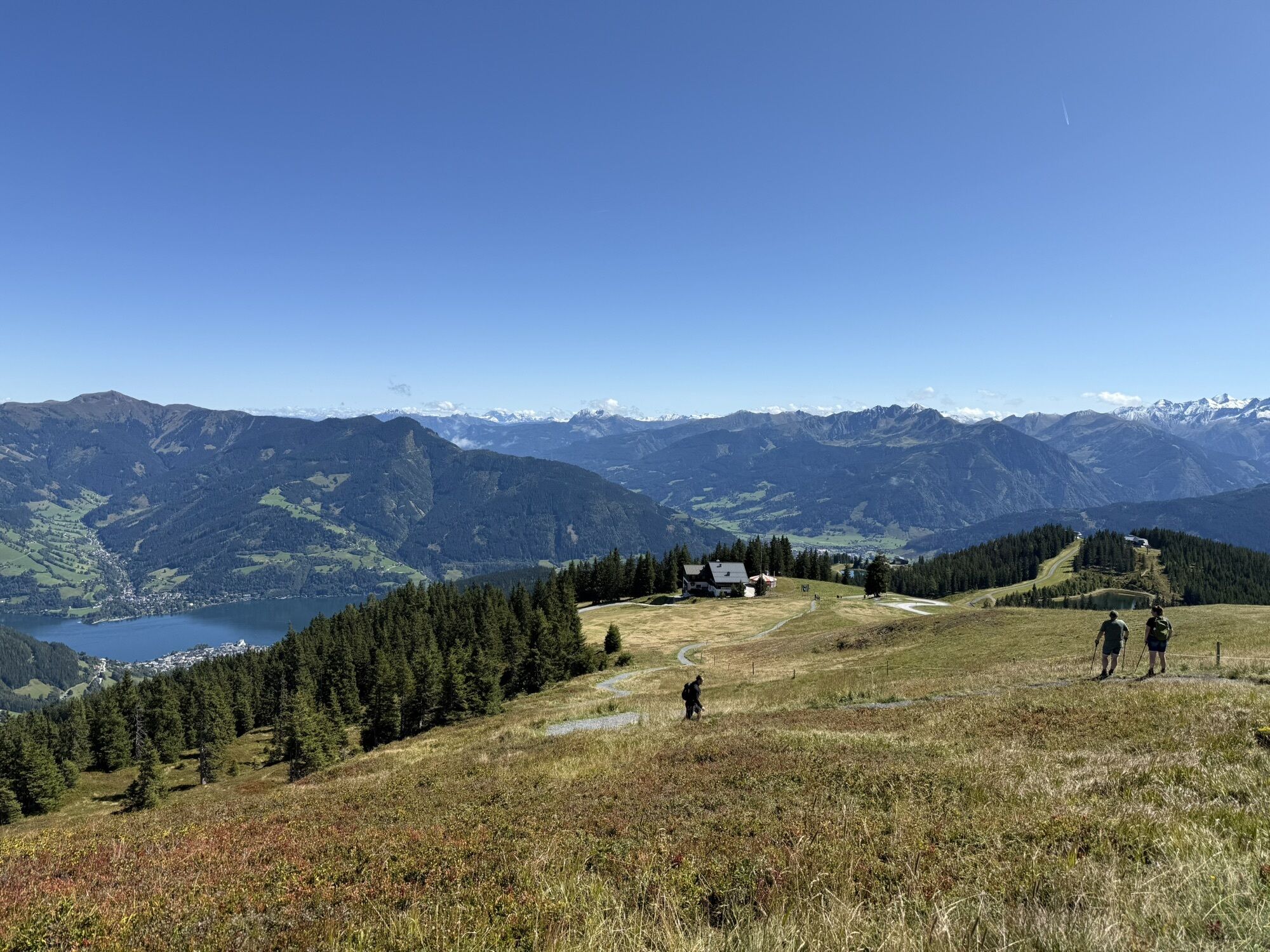
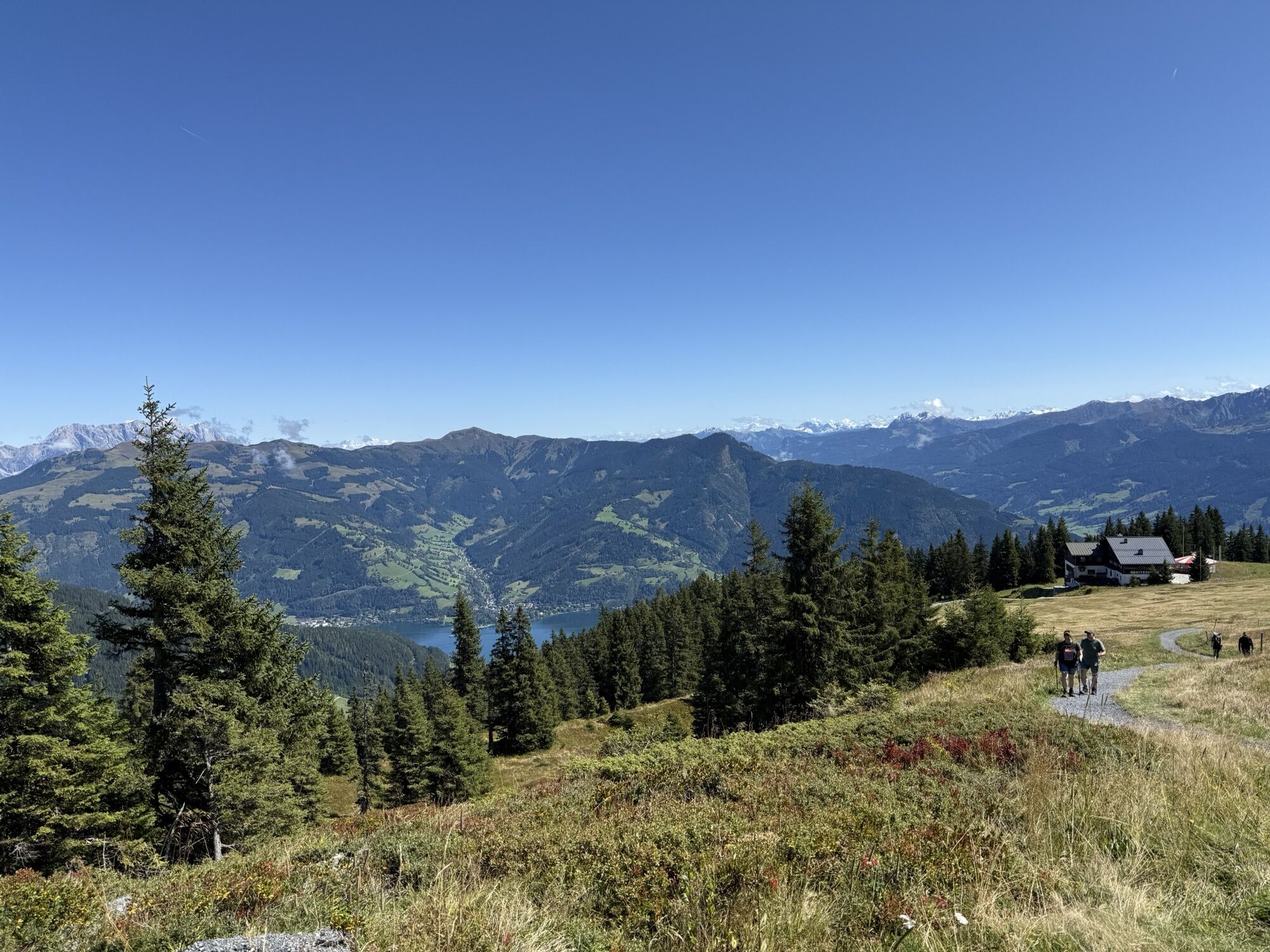
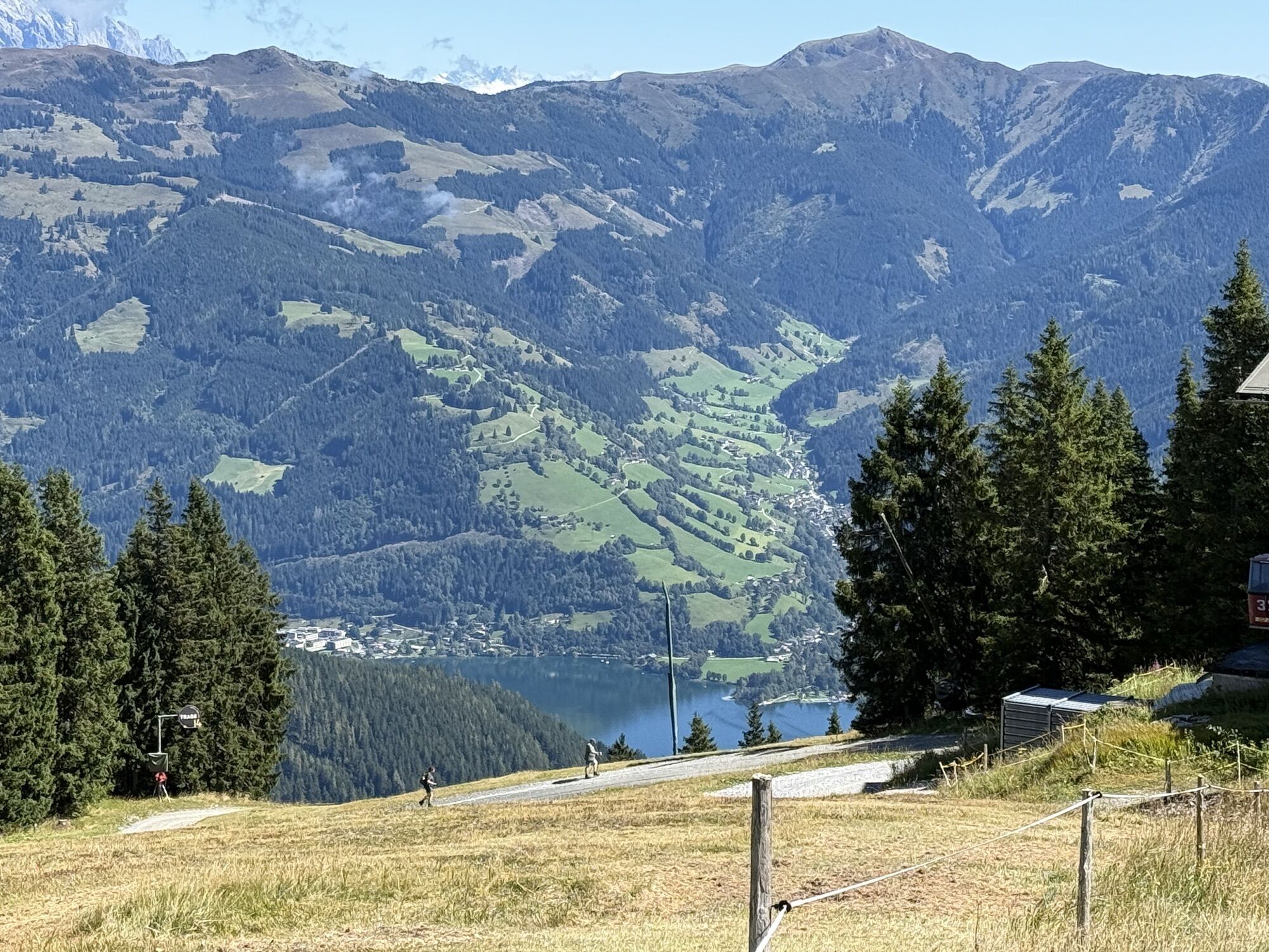
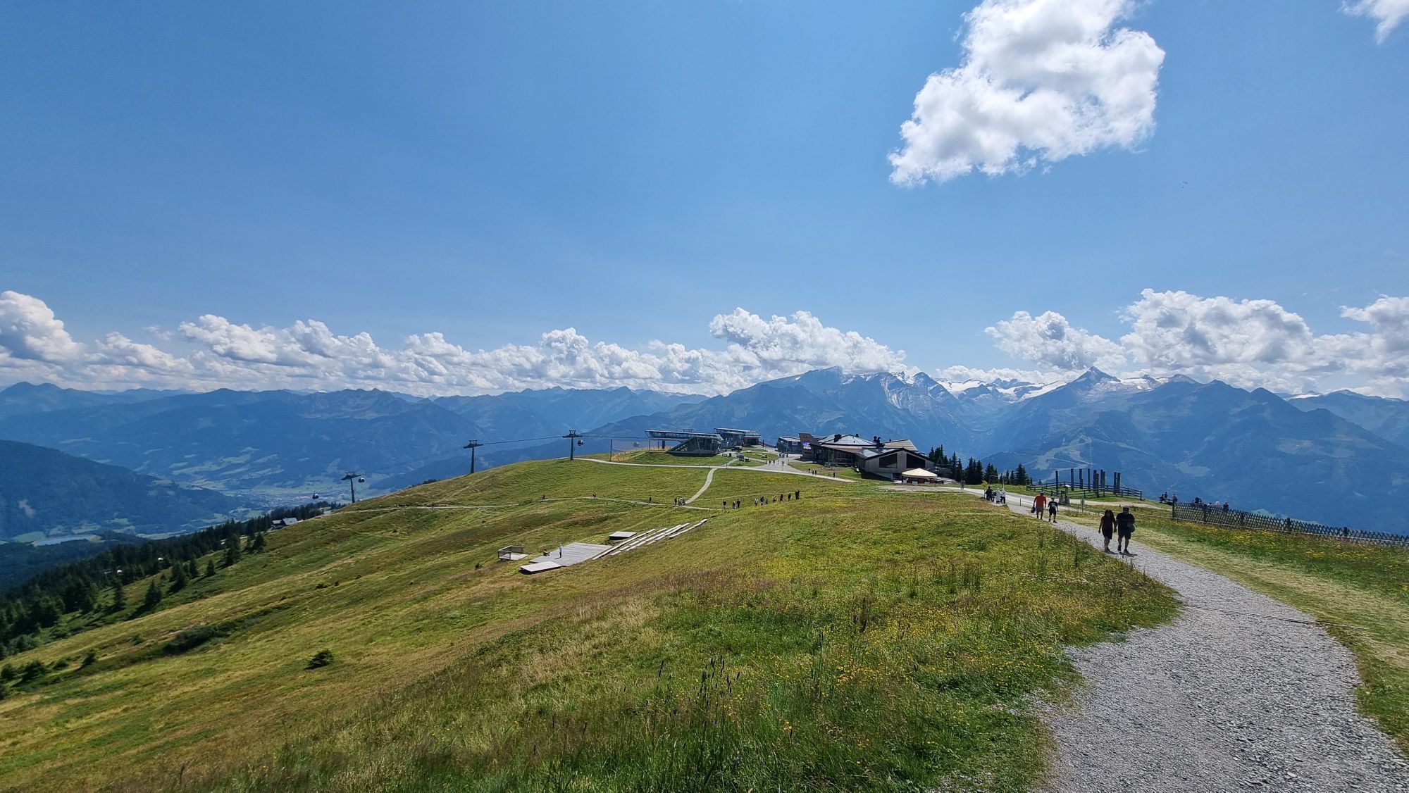
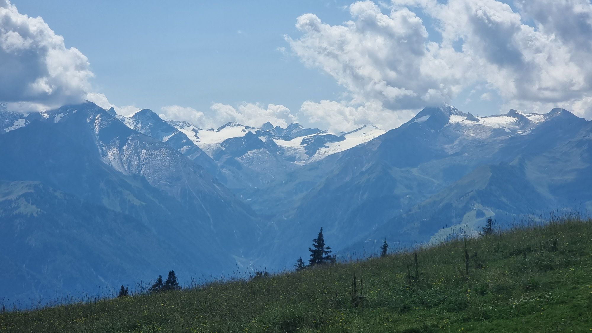
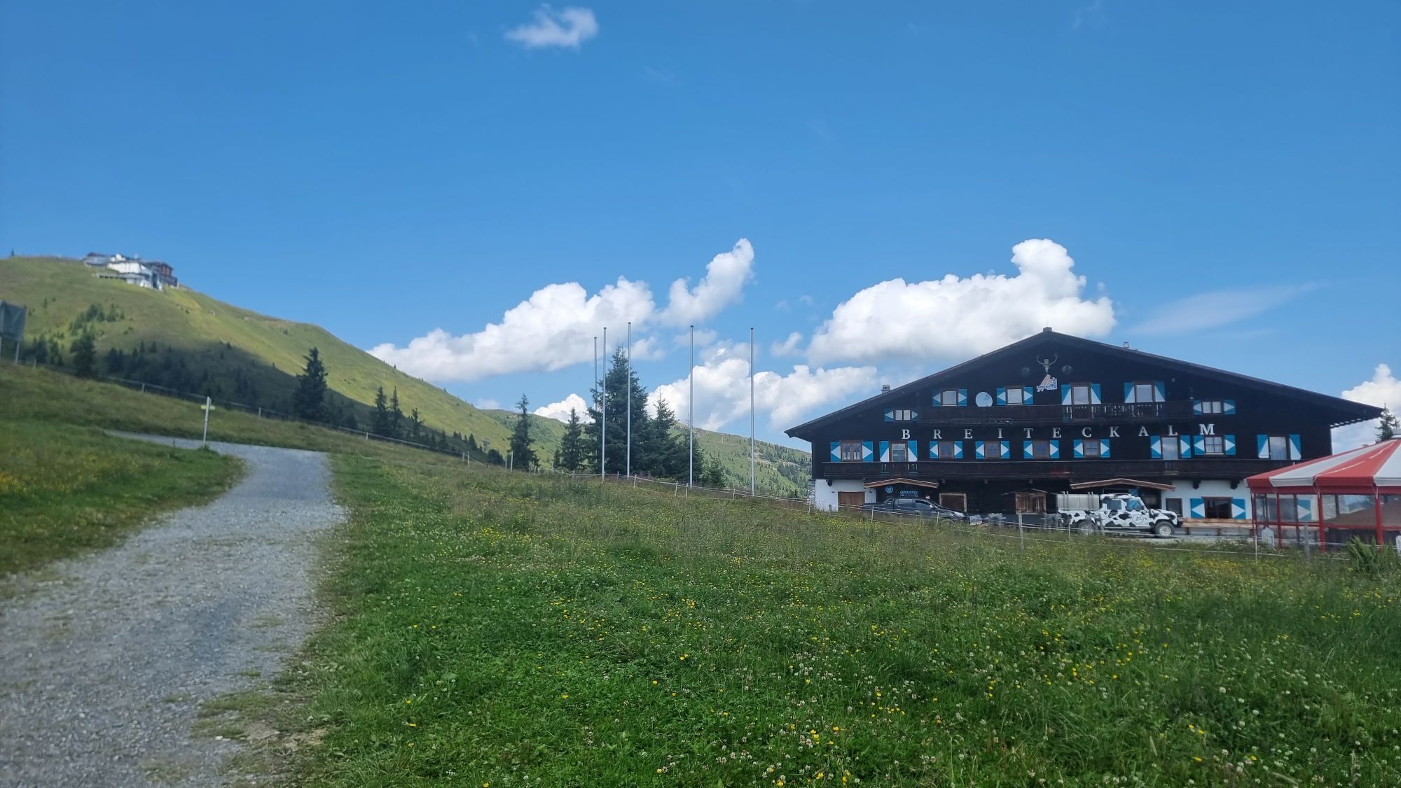
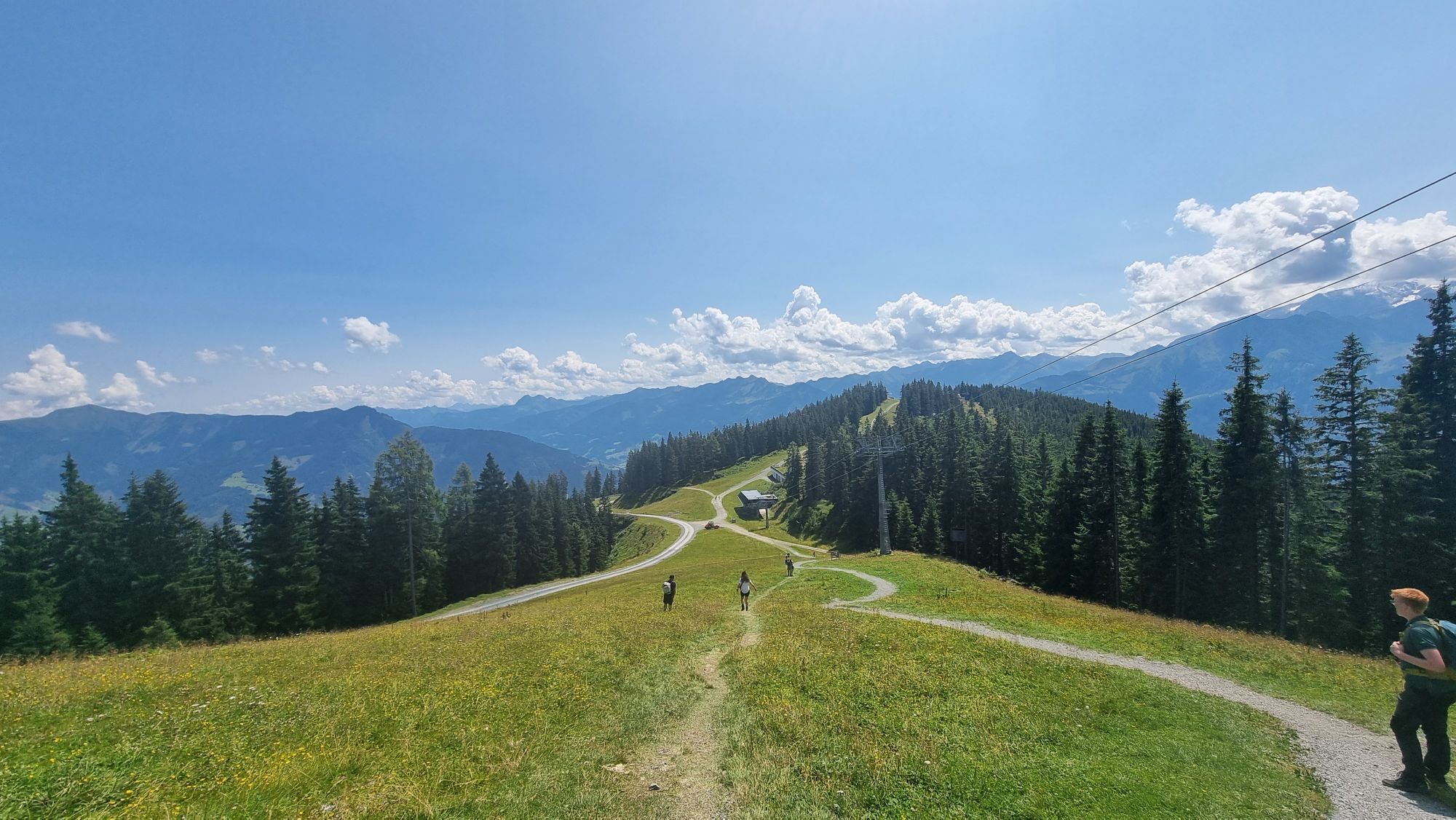
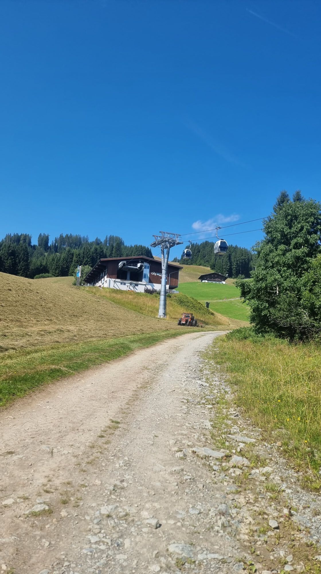
The trail leads to the Ebenbergalm via an easily accessible path. It then continues through the forest to the cityXpress mountain station. From there, the trail runs parallel to the Schmittenhöhenweg No. 58 up to the summit.
Via an easy path to the Ebenbergalm, then through the forest to the cityXpress mountain station. Parallel to the Schmittenhöhenweg trail no. 58, it leads up to the summit.
Bus stop: Postplatz Zell am See
Actividades a lo largo del recorrido


Rutas populares en los alrededores
-
4,3
Schwalbenwand Nr. 80, 81, 82
medioSenderismo 13,0 km -
4,8
Sigmund Thun Klamm, Klammsee, Bürgkogel
luzSenderismo 4,56 km -
4,0
Maurerkogel (Top)
Senderismo 10,5 km -
4,9
Hochsonnberg Runde
medioMountainbike 59,8 km -
4,5
MTB Tour Ramseiden-Round (Tour 1)
medioMountainbike 18,9 km -
4,5
Thumersbach, Runde um den Zeller See
luzSenderismo 13,3 km -
4,4
Sigmund Thun Klamm
luzSenderismo 3,10 km -
4,6
Lettlkaser
medioSenderismo 4,40 km -
4,0
Montaña de los sentidos
luzSenderismo 4,39 km -
4,2
Hundstein-Runde von Maria Alm
pesadoMountainbike 44,4 km
Senderismo y rastreo


No se pierda las ofertas y la inspiración para sus próximas vacaciones
Su dirección de correo electrónico se ha añadido a la lista de correo.