
© Saalfelden Leogang Touristik GmbH - Saalfelden Leogang
© Saalfelden Leogang Touristik GmbH - Saalfelden Leogang

© Saalfelden Leogang Touristik GmbH - Saalfelden Leogang

© Saalfelden Leogang Touristik GmbH - Saalfelden Leogang
© Saalfelden Leogang Touristik GmbH - Saalfelden Leogang
© Saalfelden Leogang Touristik GmbH - Saalfelden Leogang

© Saalfelden Leogang Touristik GmbH - Saalfelden Leogang

© Saalfelden Leogang Touristik GmbH - Robert Kittel

- Breve descripción
-
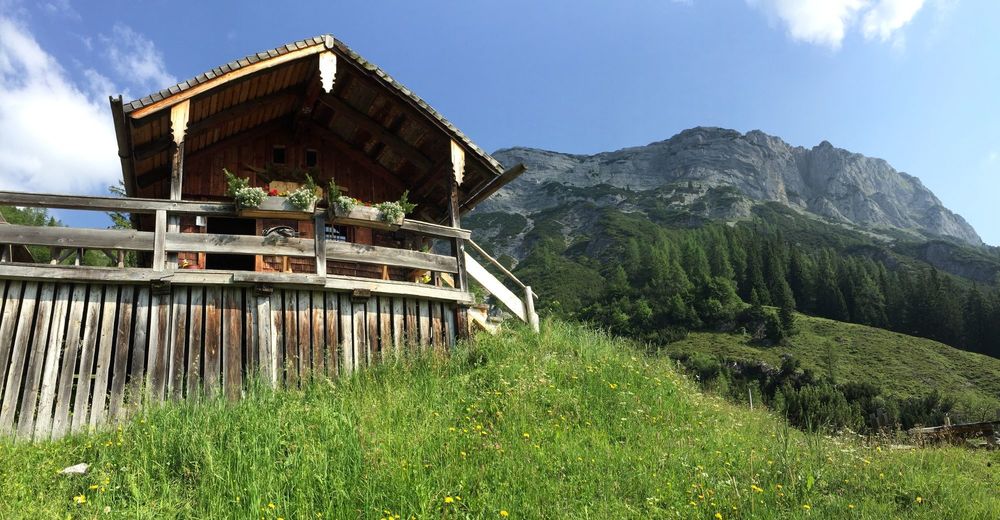
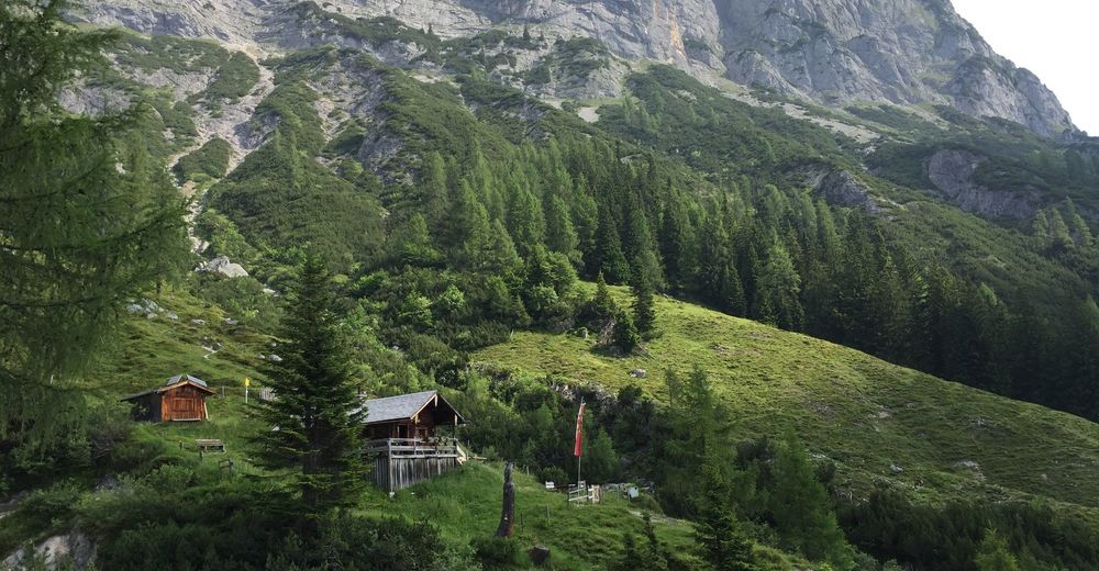
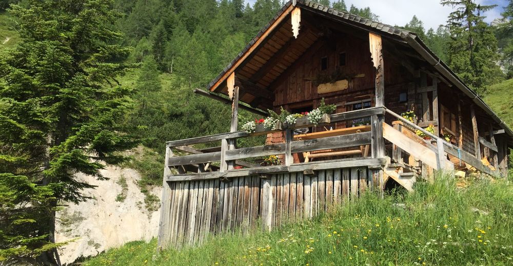
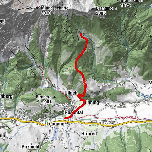
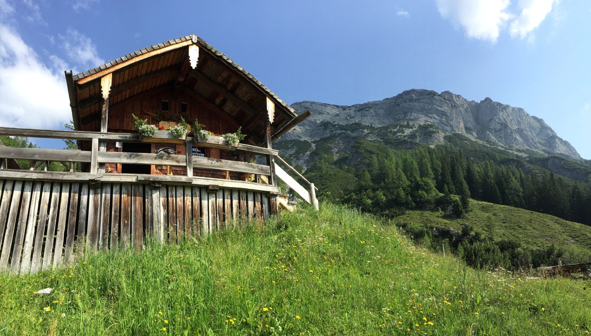
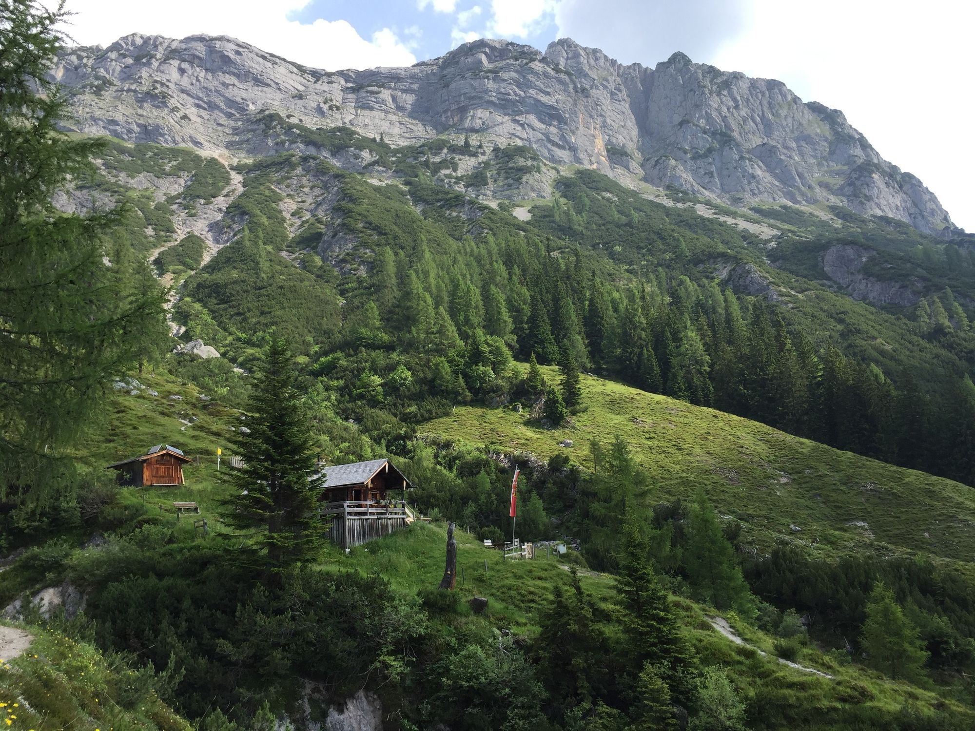
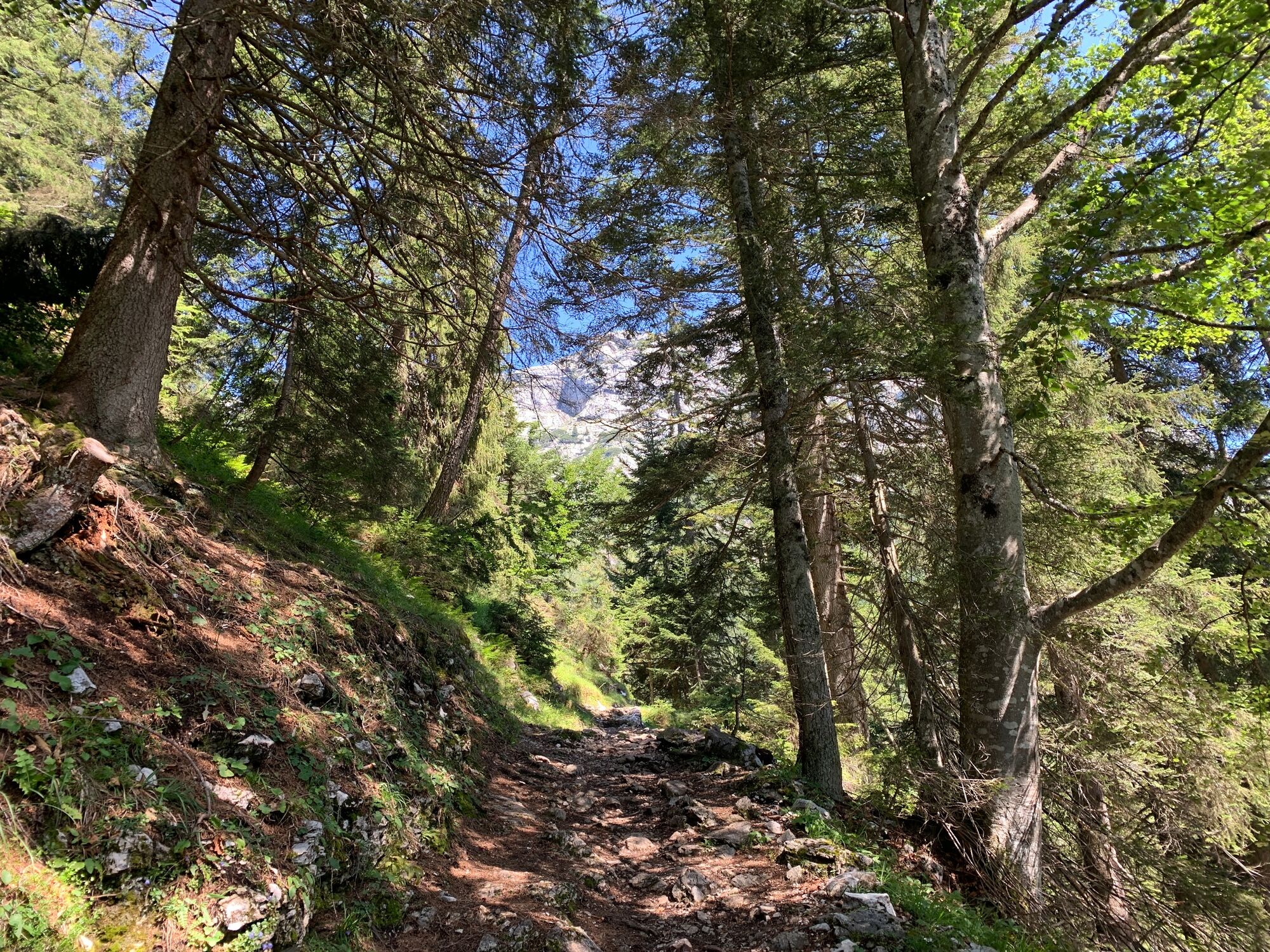
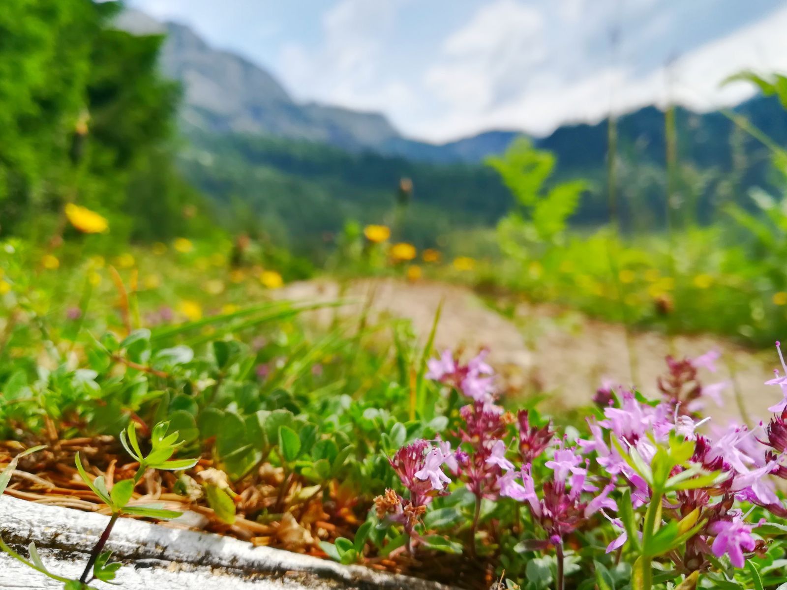
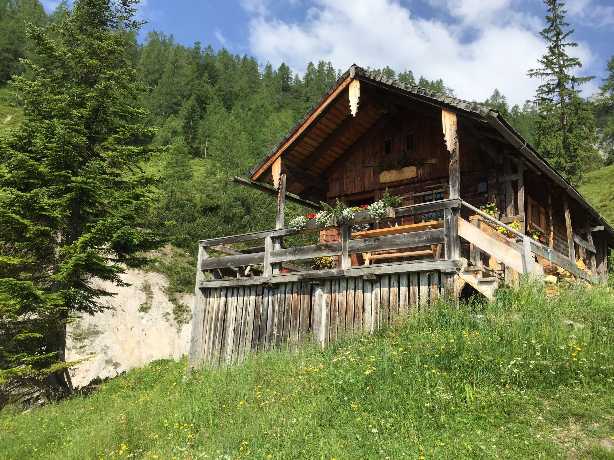
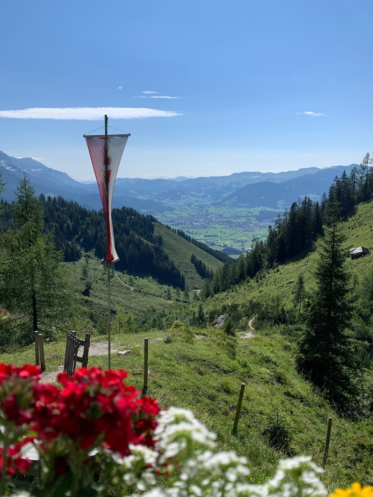
Exciting hike to the Lettlkaser mountain hut, which guides you through alpine meadows and impressive forests. You will be rewarded with a stunning view of the mountains of Leogang and the basin of Saalfelden.
- Dificultad
-
medio
- Valoración
-
- Ruta
-
LeogangRosental0,4 kmSinning0,8 kmUllach1,3 kmLettlkaser4,3 km
- La mejor temporada
-
enefebmarabrmayjunjulagosepoctnovdic
- Punto álgido
- 1.438 m
- Punto final
-
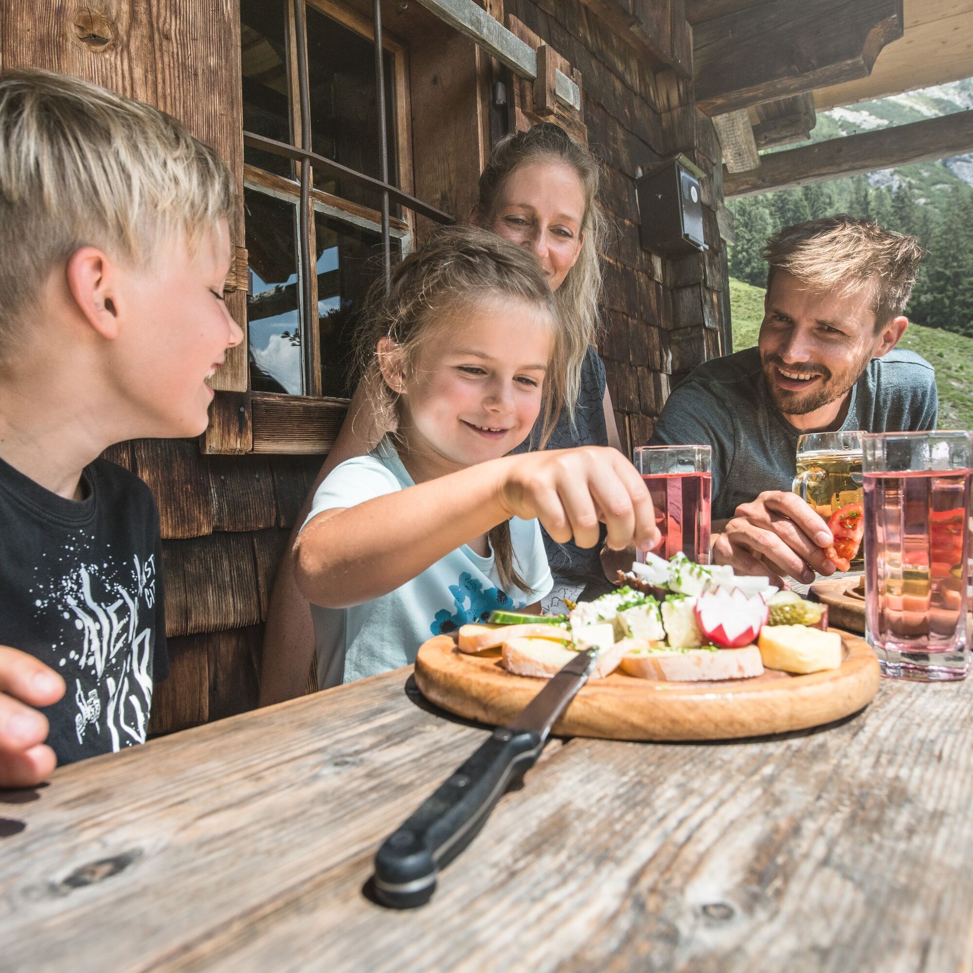
Lettlkaser mountain hut
- Perfil alto
-

-

-
AutorLa gira Lettlkaser es utilizado por outdooractive.com proporcionado.
GPS Downloads


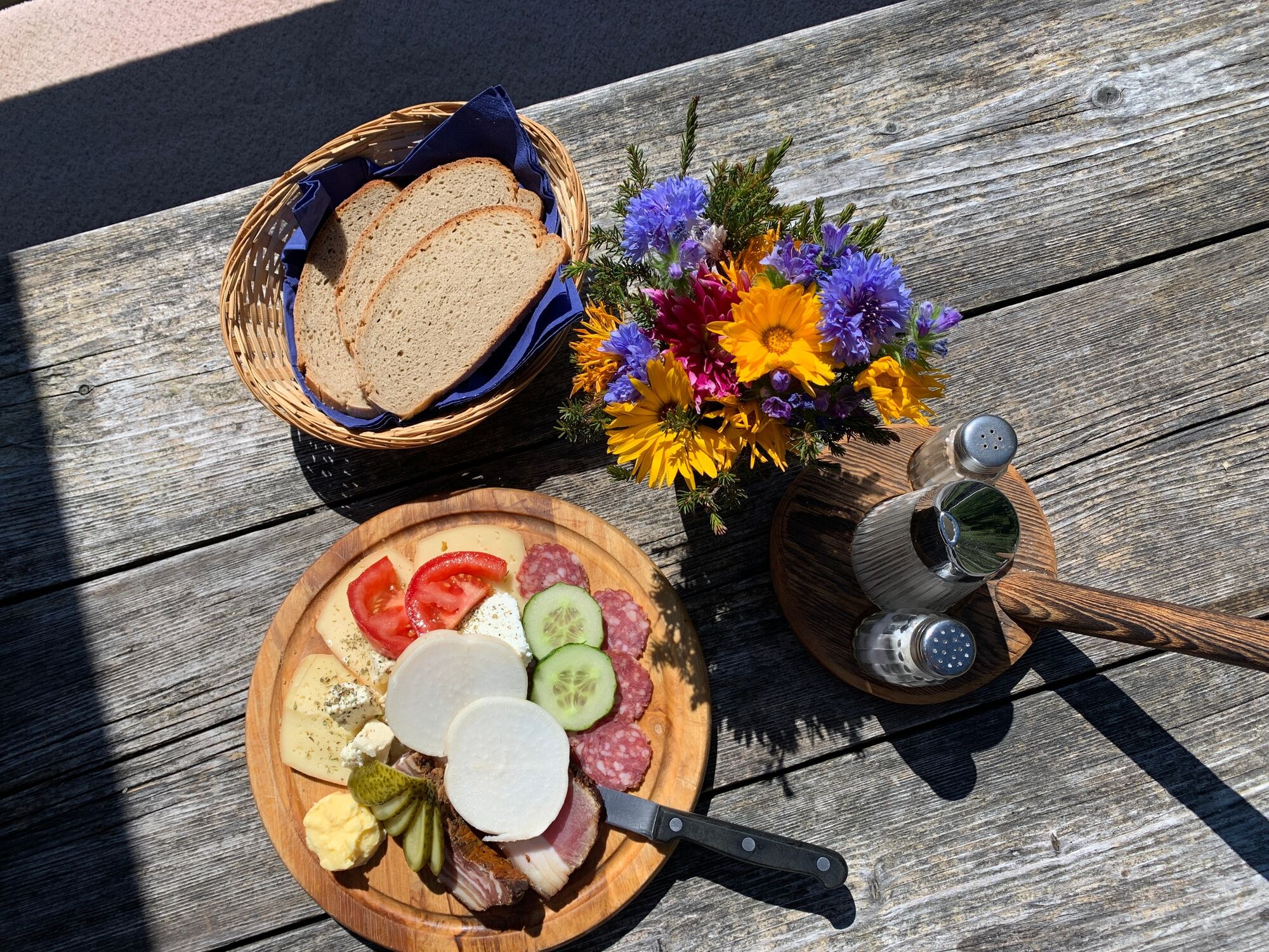
Información general
Punto de avituallamiento
Vistas panorámicas
Más circuitos por las regiones
-
Saalfelden - Leogang
1814
-
Leogang
434


