


Camino de las 11 cabañas (de Viehhofen al final del valle)
Nivel de dificultad: T1
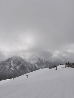
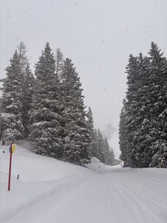
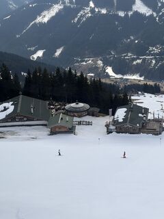
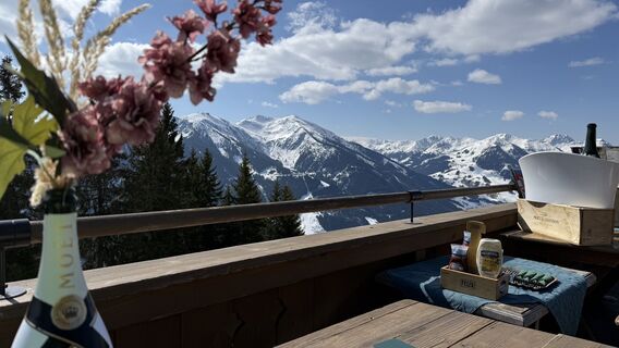
Fotos de nuestros usuarios
-
 © firebird 93Creado el 28.09.2023
 -
 © firebird 93Creado el 26.09.2023
 -
 © firebird 93Creado el 26.09.2023
 -
 © Johann PegrinCreado el 28.03.2026
 -
 © Johann PegrinCreado el 28.03.2026
 -
 © Johann PegrinCreado el 28.03.2026
 -
 © Franco Nicastro 1Creado el 05.08.2025
 -
 © Franco Nicastro 1Creado el 05.08.2025
 -
 © Peter GerdemannCreado el 25.06.2025
 -
 © Peter GerdemannCreado el 25.06.2025
 -
 © Janine GanschniggCreado el 14.06.2025
 -

 © Arnold BurböckCreado el 03.02.2025
 -

 © Stefan RuhringerCreado el 28.10.2023
 -
 © Marina ICreado el 22.10.2023
 -

 © Melanie HörzerCreado el 04.06.2023
 -
 © Melanie HörzerCreado el 04.06.2023
 -

 © Zoran DujakovicCreado el 02.11.2024
 -
 © firebird 93Creado el 26.09.2023
 -
 © firebird 93Creado el 26.09.2023
 -
 © firebird 93Creado el 26.09.2023
 -
 © firebird 93Creado el 26.09.2023
 -
 © firebird 93Creado el 26.09.2023
 -
 © firebird 93Creado el 26.09.2023
 -
 © firebird 93Creado el 26.09.2023
 -
 © Jonas HüttmeyerCreado el 26.08.2022
 -
 © Bernd EttingerCreado el 14.09.2020
 -

 © annnaa0801Creado el 06.04.2026
 -
 © annnaa0801Creado el 06.04.2026
 -
 © annnaa0801Creado el 06.04.2026
 -
 © annnaa0801Creado el 06.04.2026
 -
 © annnaa0801Creado el 06.04.2026
 -
 © annnaa0801Creado el 06.04.2026
 -
 © Alexandra BazeltCreado el 04.04.2026
 -
 © Antoine WaqueCreado el 03.04.2026
 -
 © Jan GörgelCreado el 03.04.2026
 -
 © annnaa0801Creado el 31.03.2026
 -
 © annnaa0801Creado el 31.03.2026
 -
 © Henk KoremanCreado el 23.03.2026
 -

 © Stefan RibischCreado el 22.03.2026
 -
 © Stefan RibischCreado el 22.03.2026
 -
 © Stefan RibischCreado el 22.03.2026
 -
 © Jakob MahlerCreado el 18.03.2026
 -
 © Cristian Di BiaseCreado el 11.03.2026
 -
 © Cristian Di BiaseCreado el 11.03.2026
 -
 © Cristian Di BiaseCreado el 11.03.2026
 -
 © Cristian Di BiaseCreado el 10.03.2026
 -
 © Timm Heinrich 1Creado el 08.03.2026
 -
 © Renée BruijsCreado el 05.03.2026


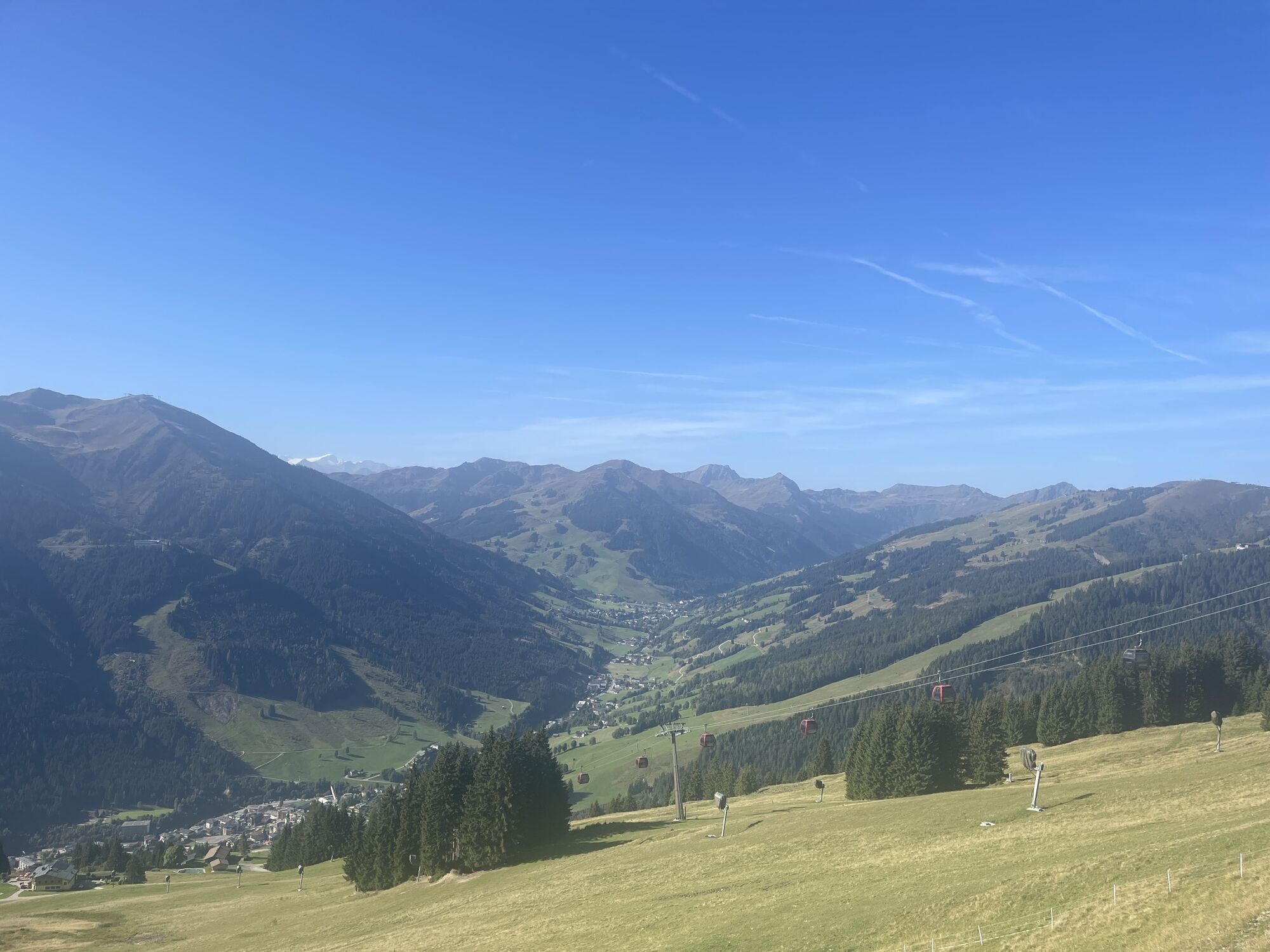
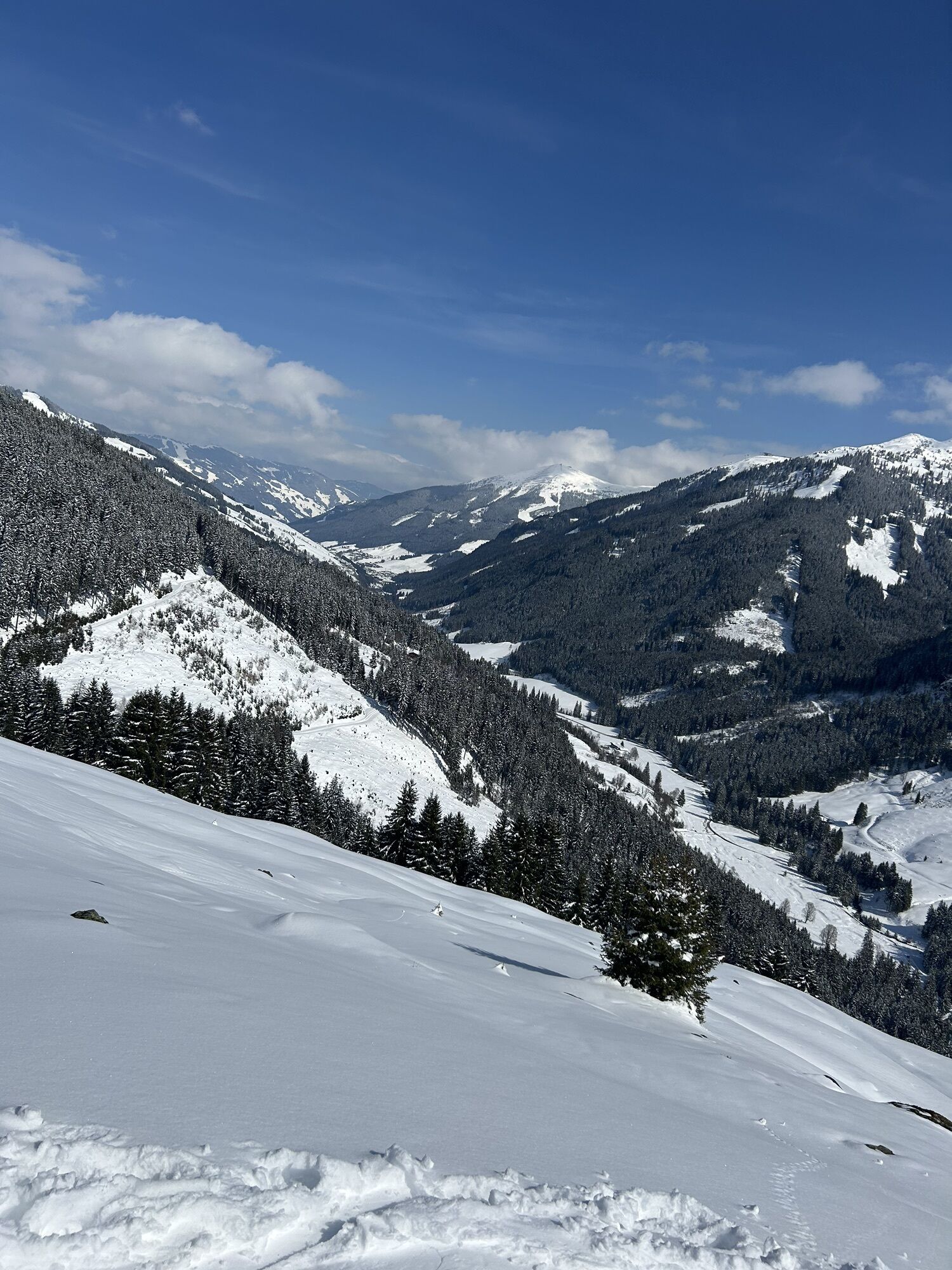

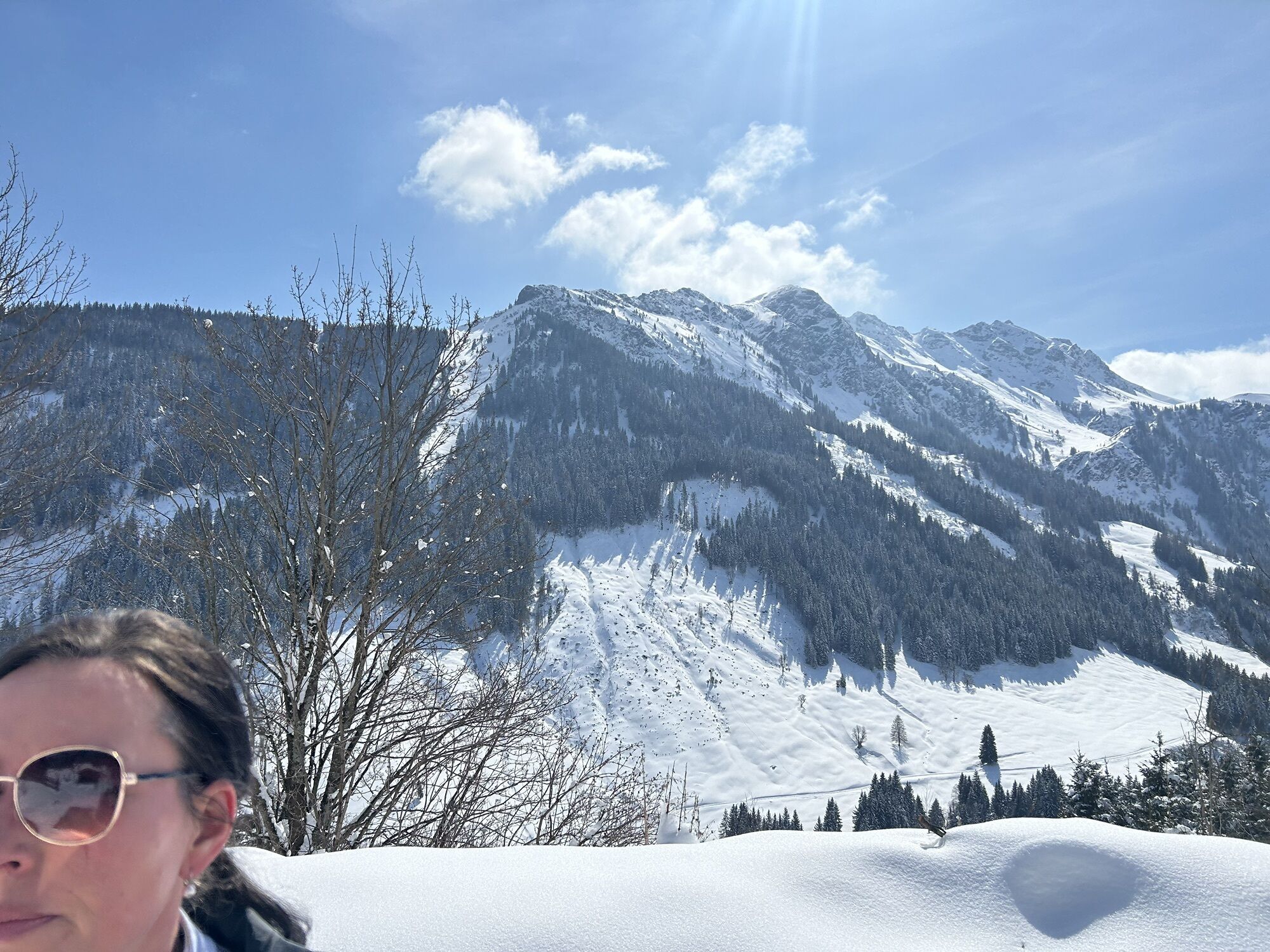
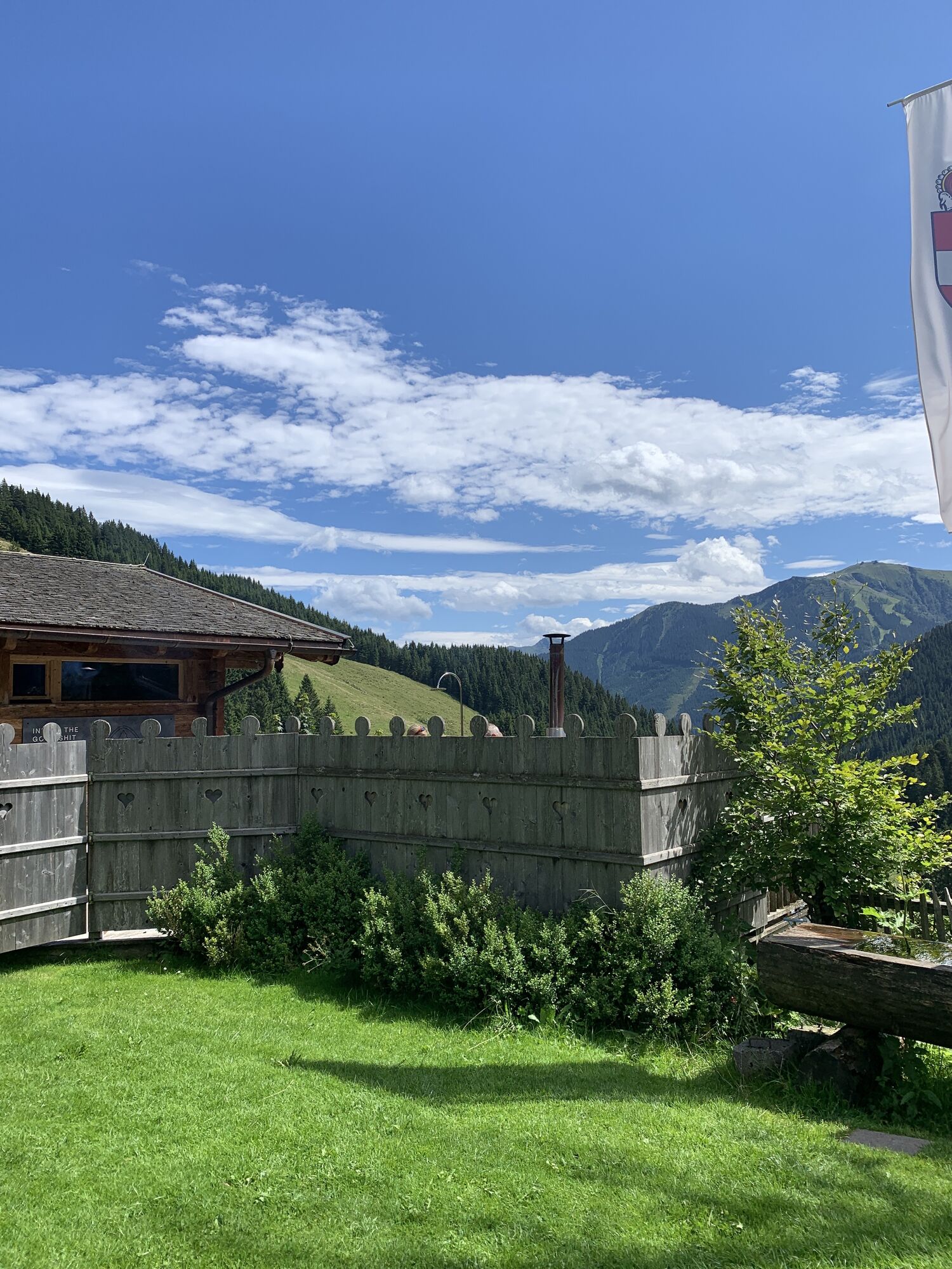
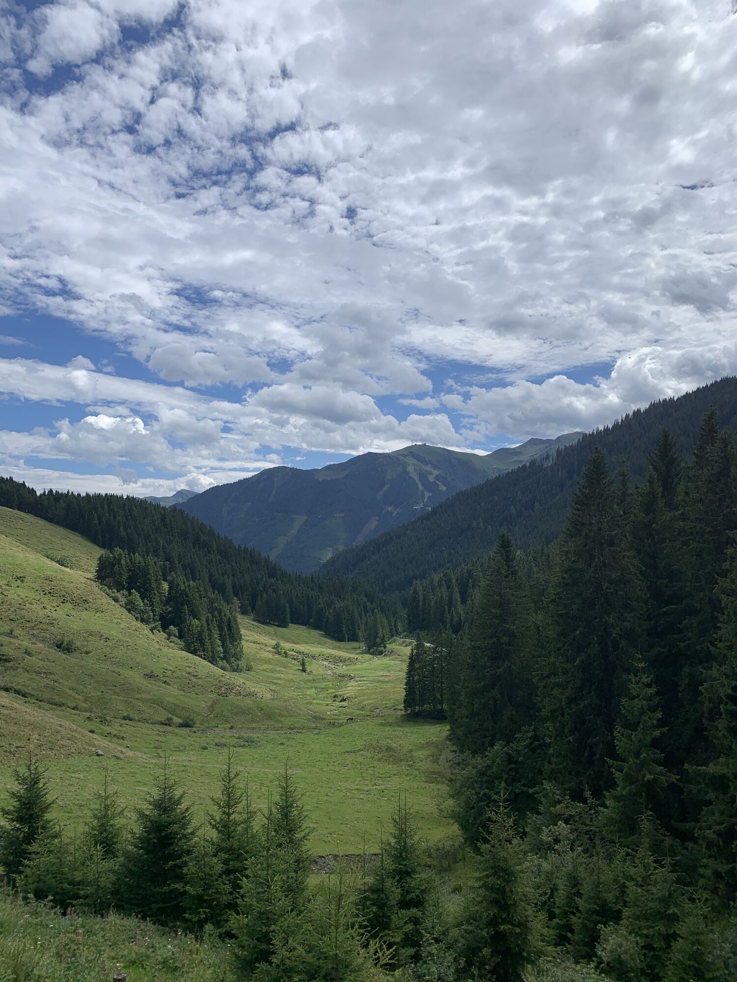

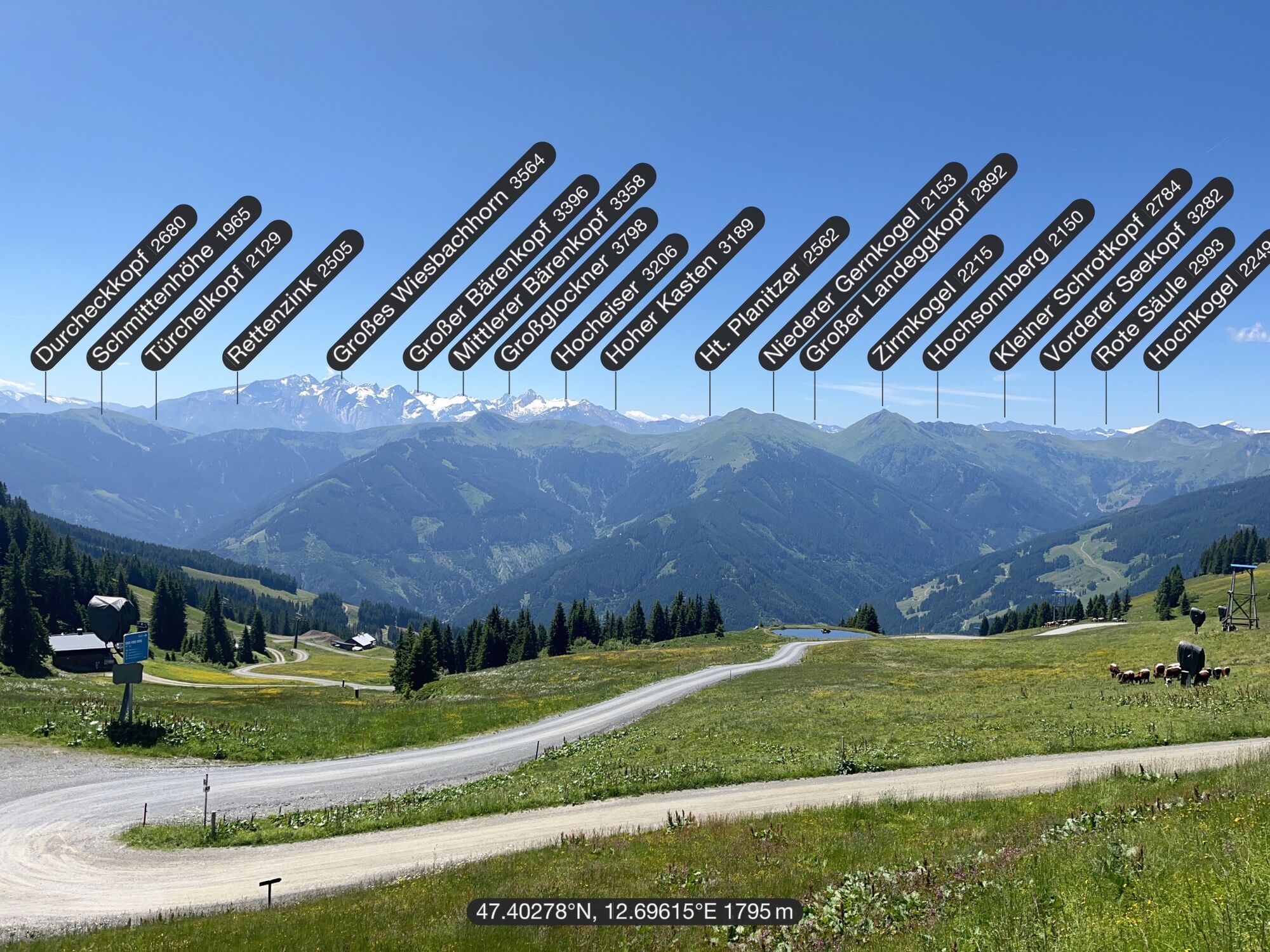


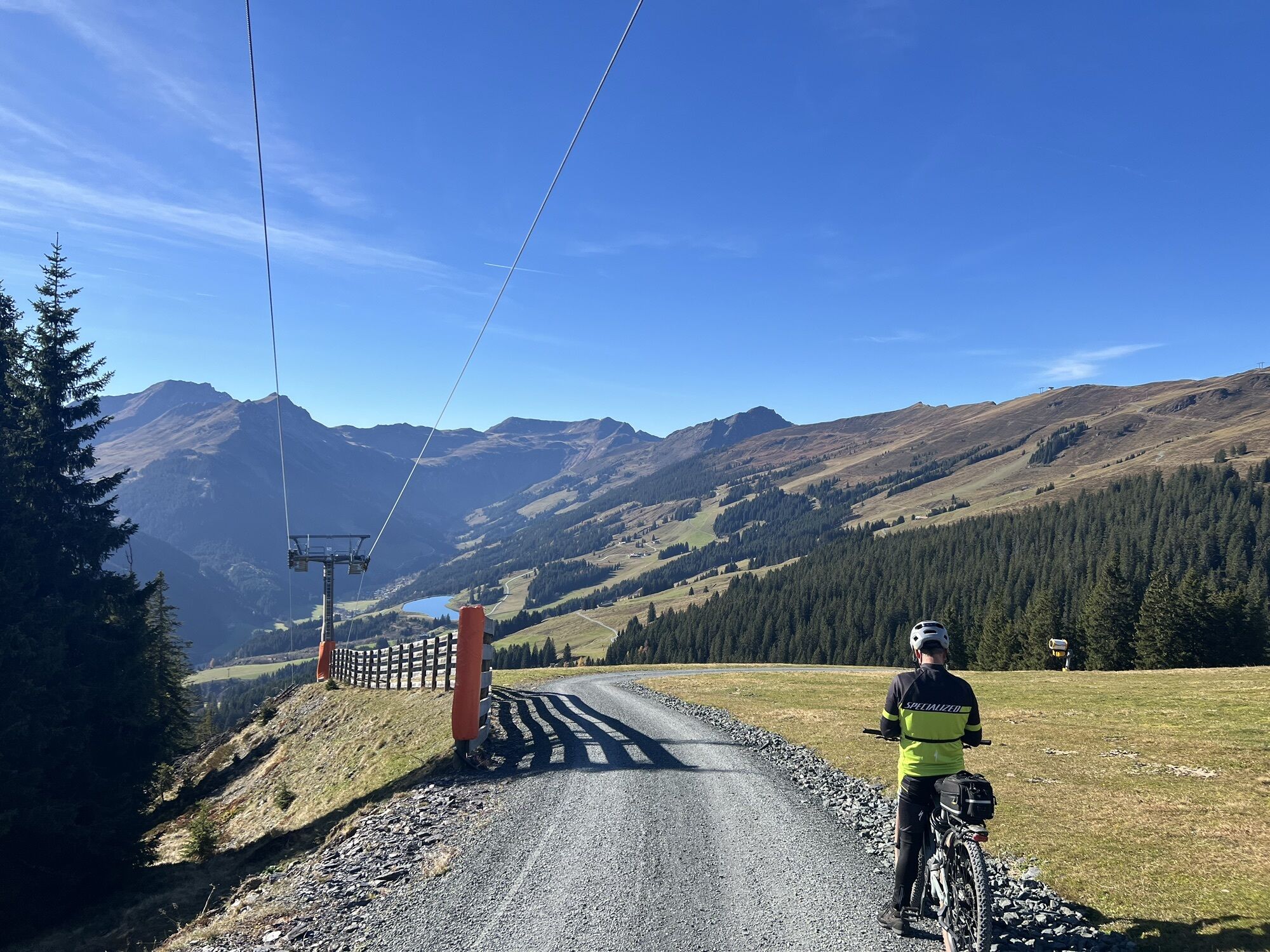
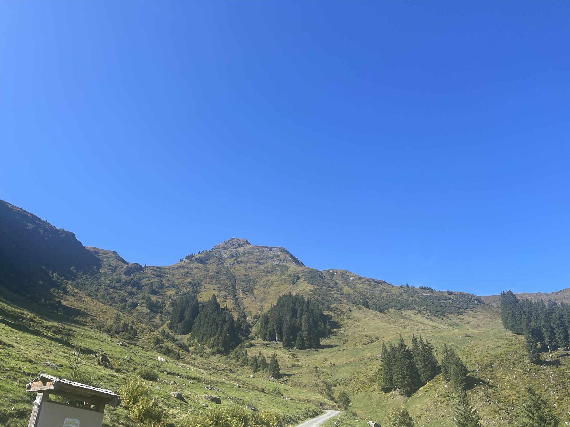


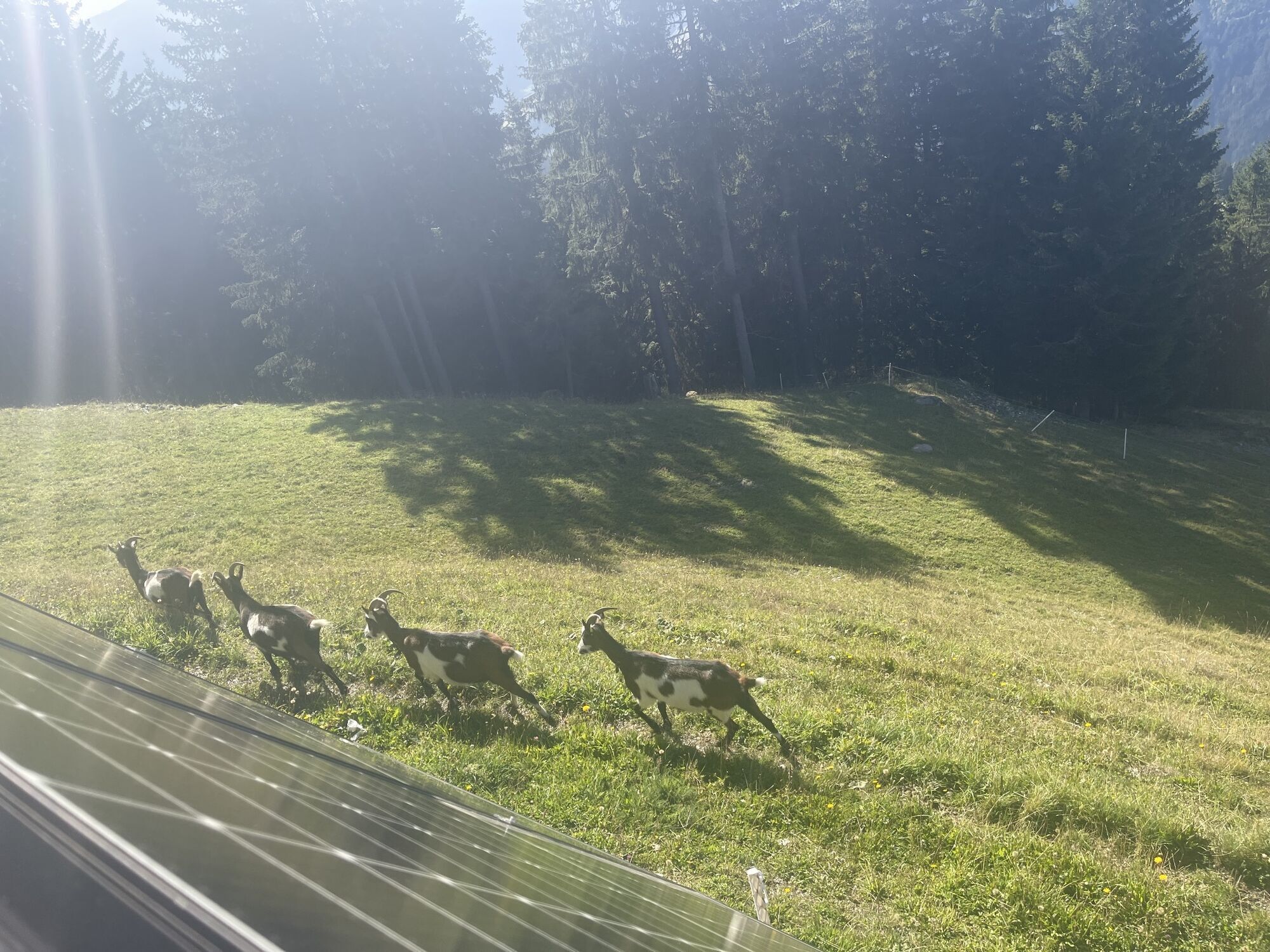
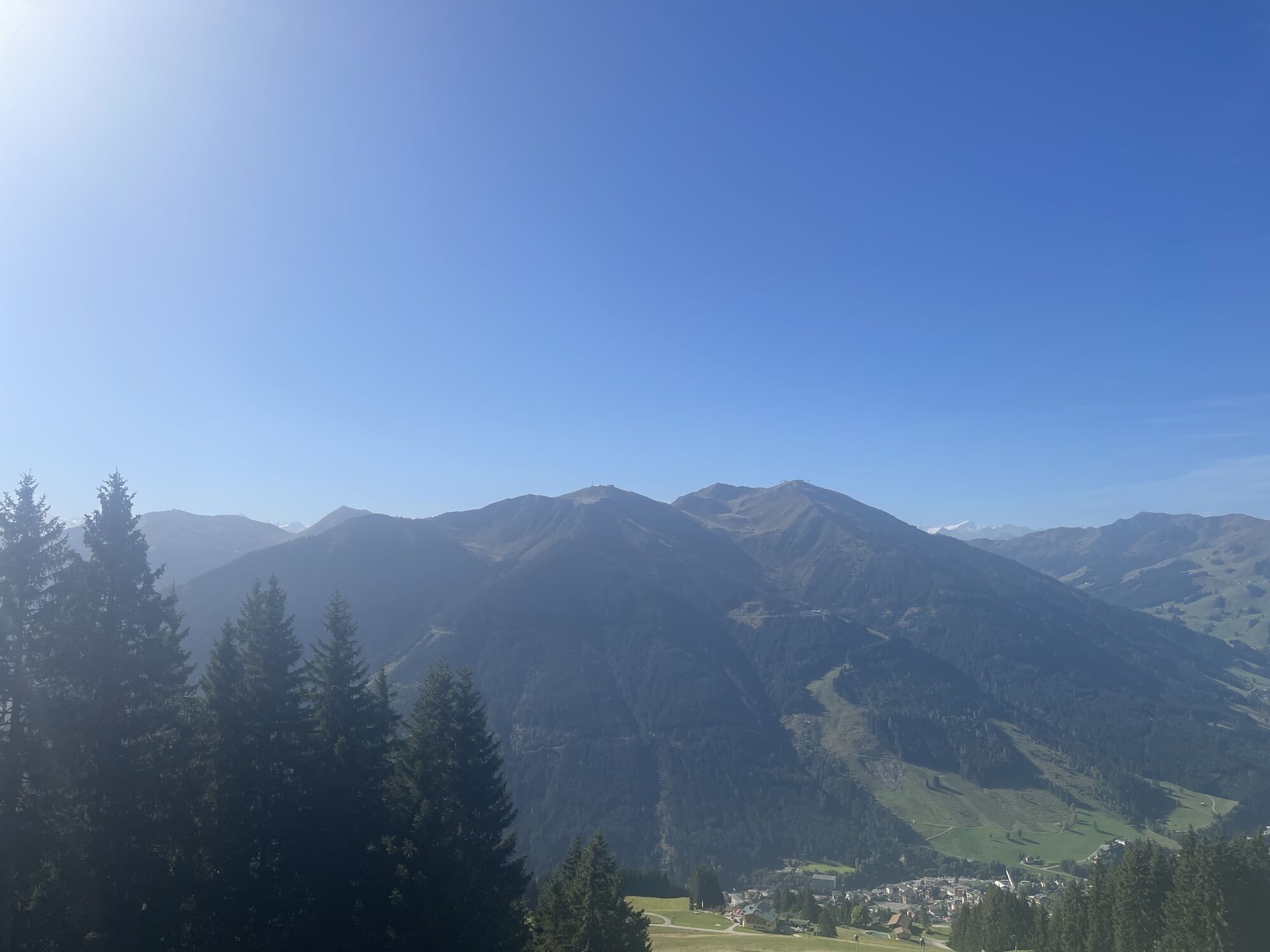

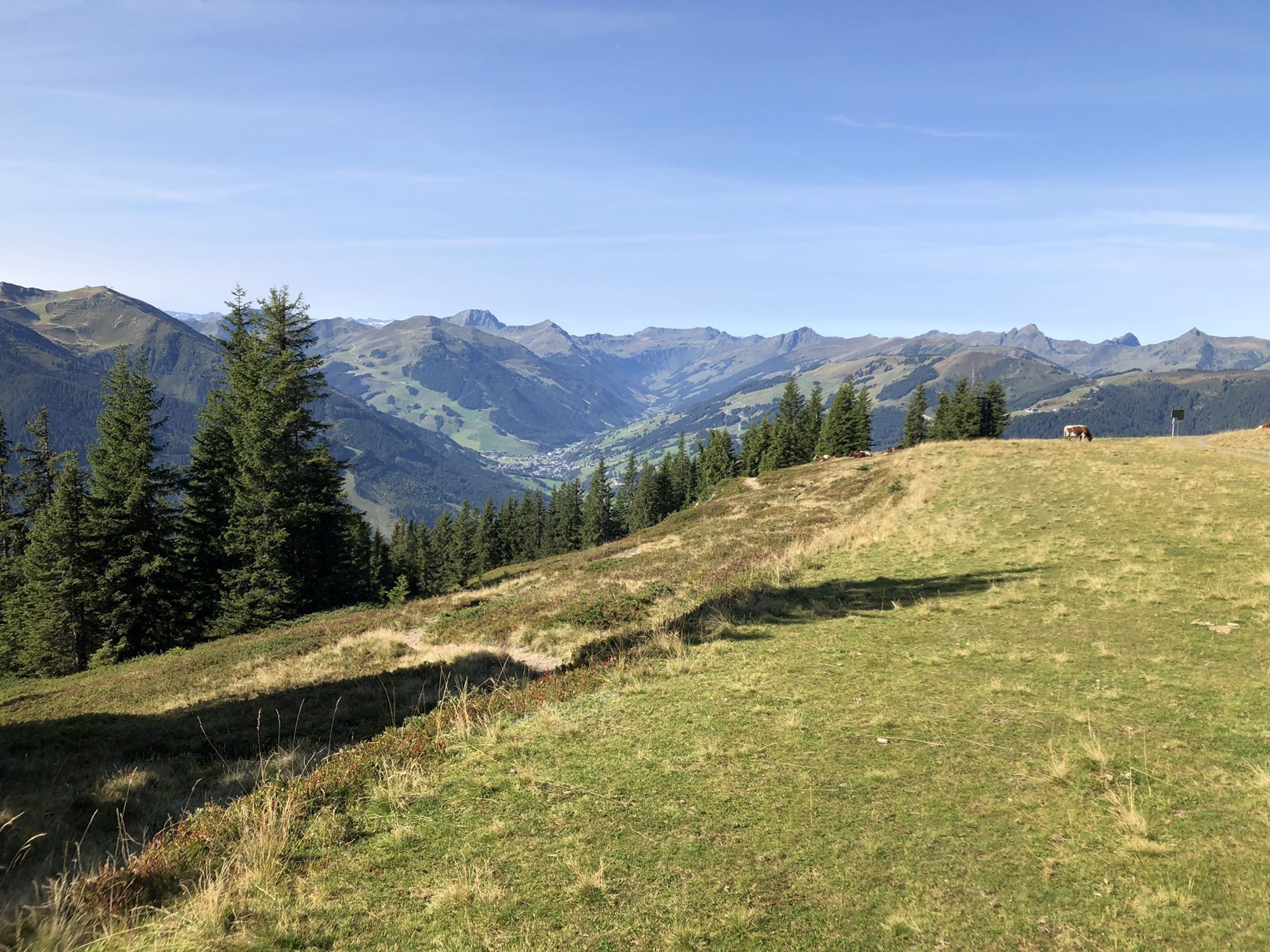
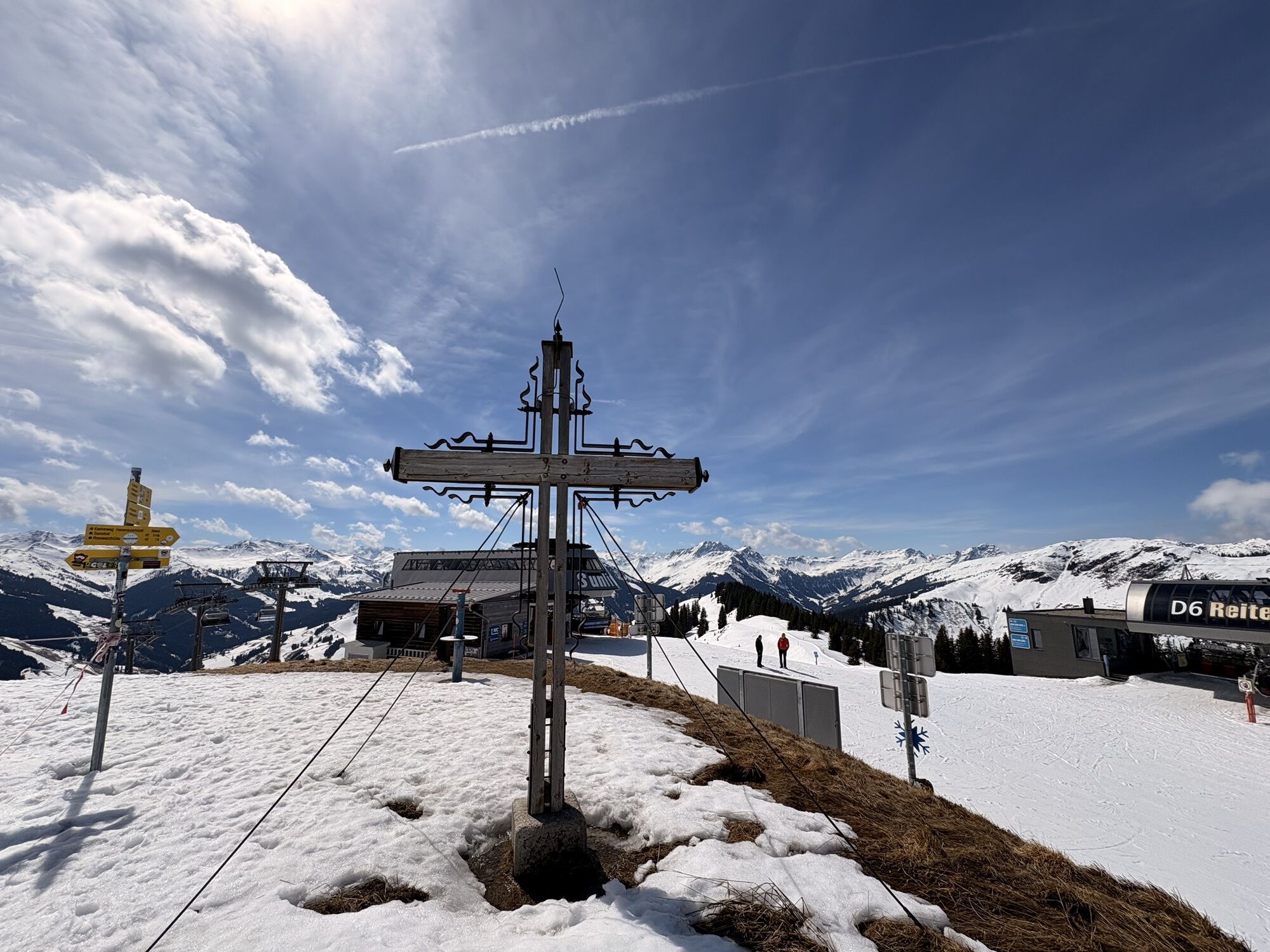
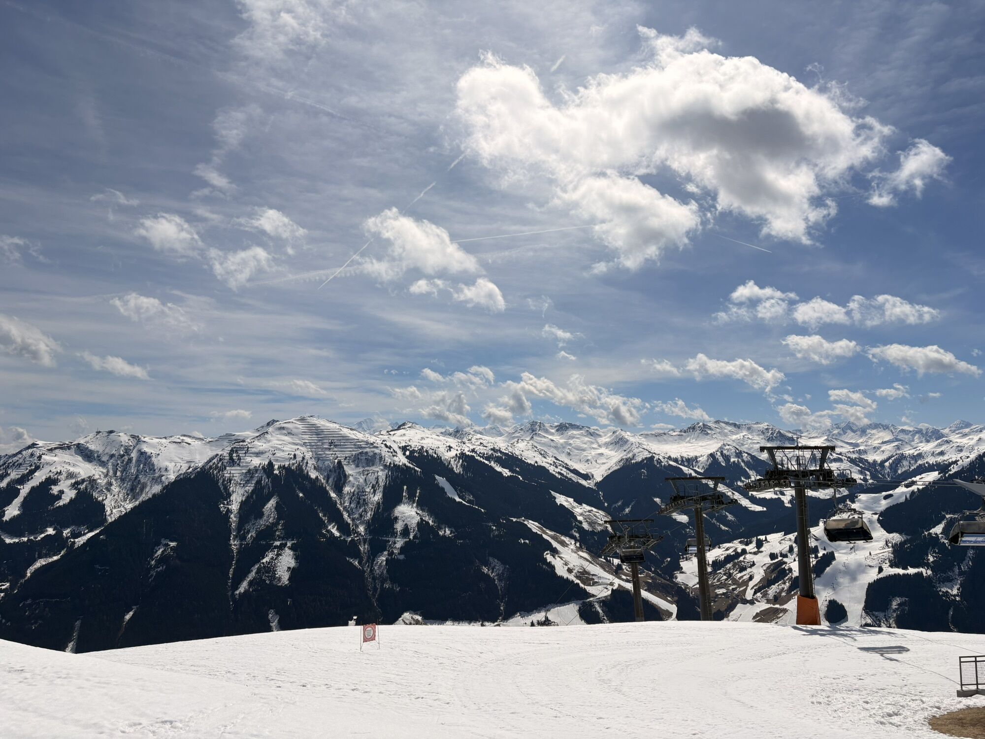
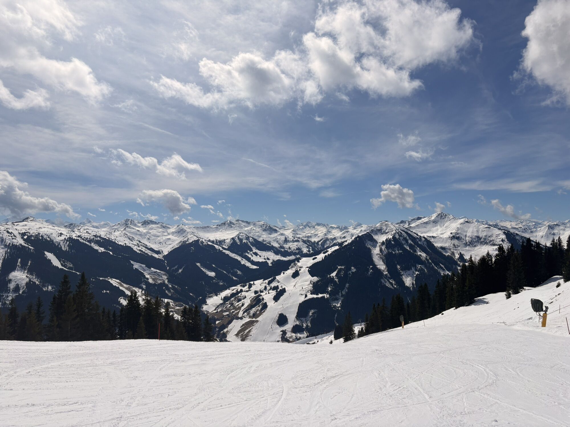
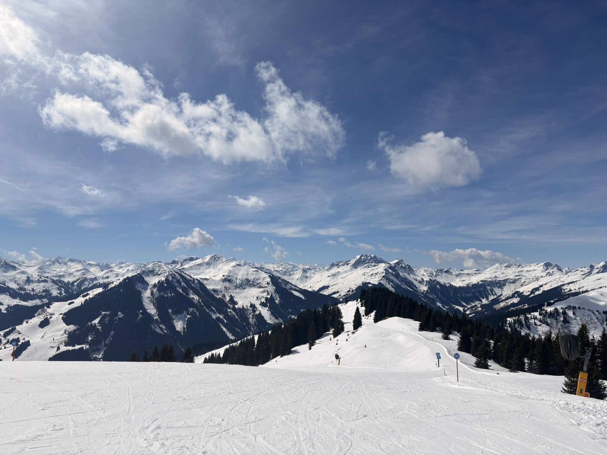
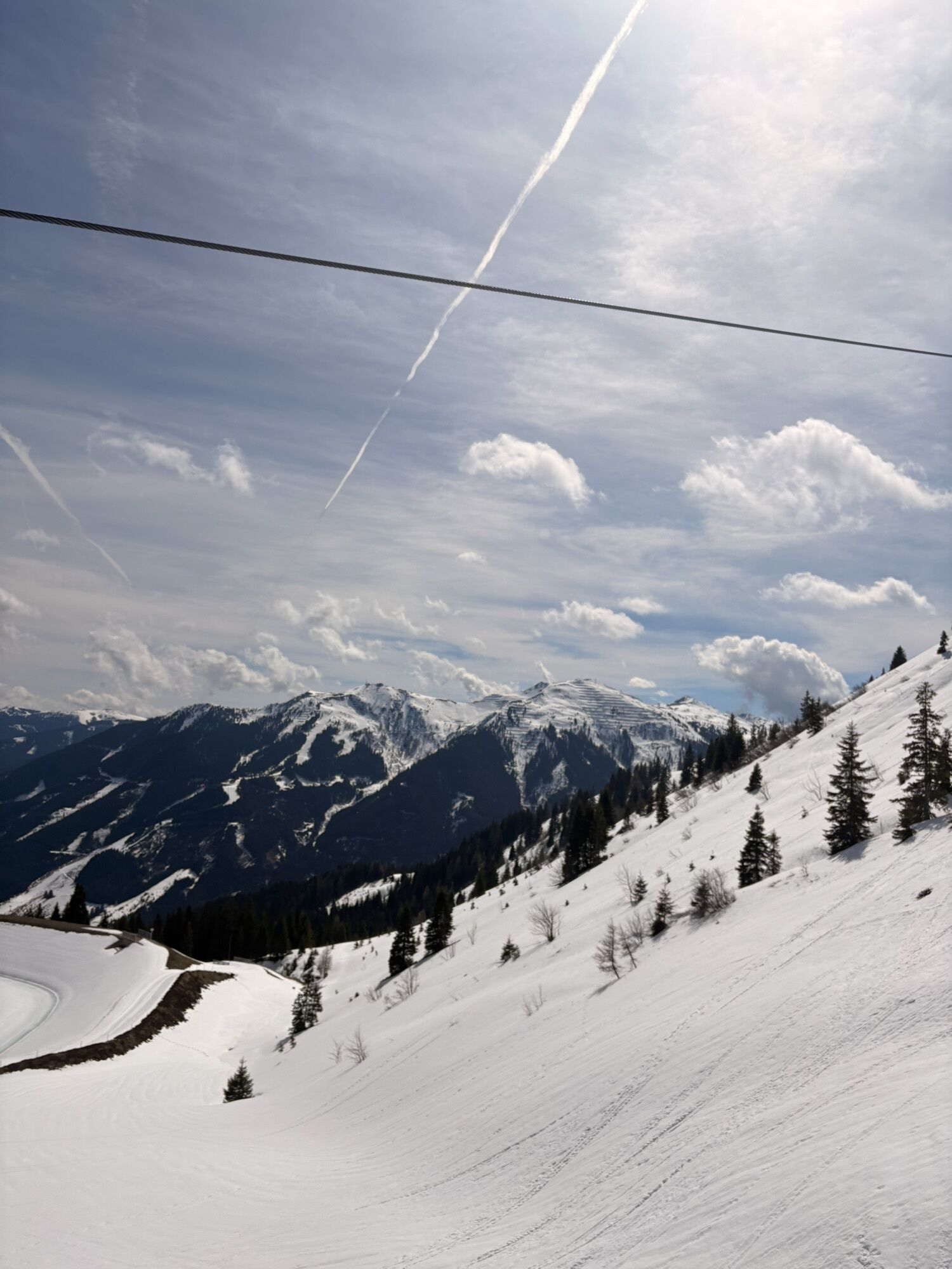
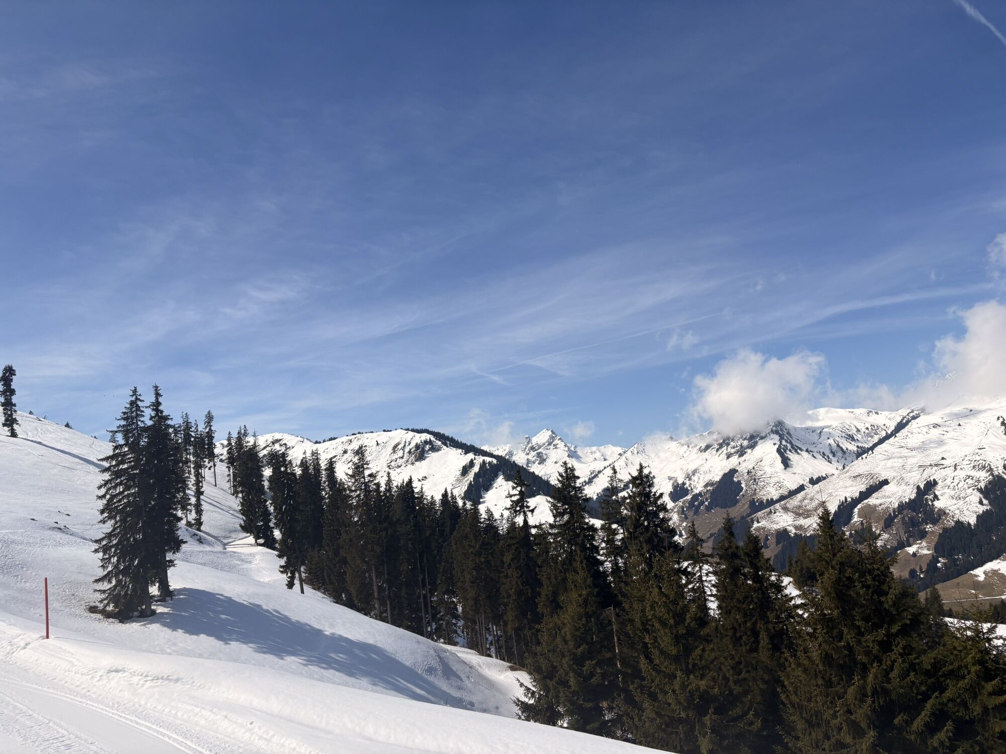

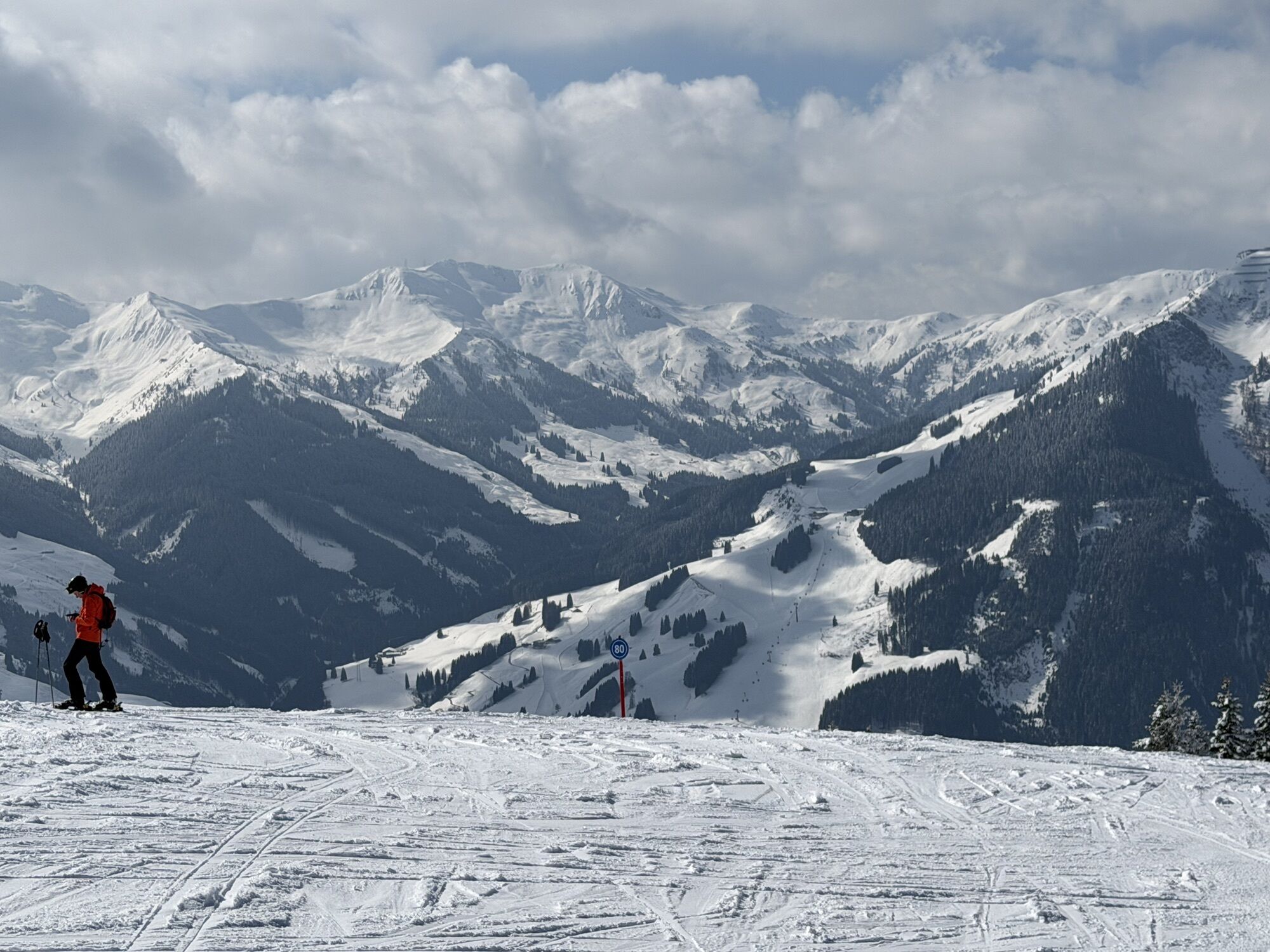
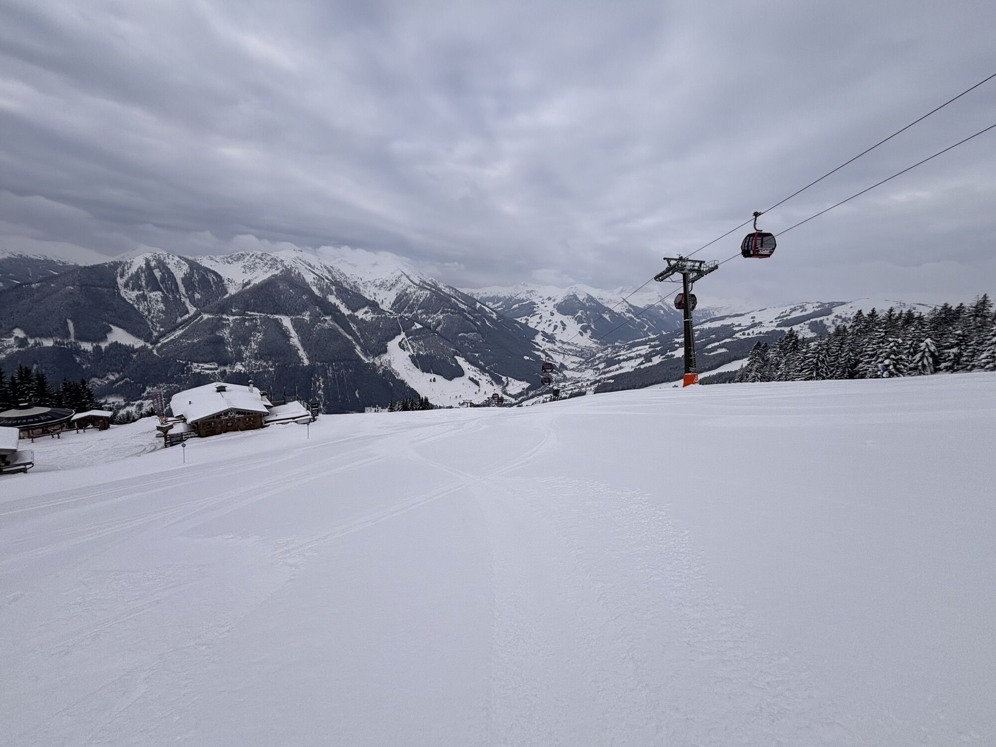
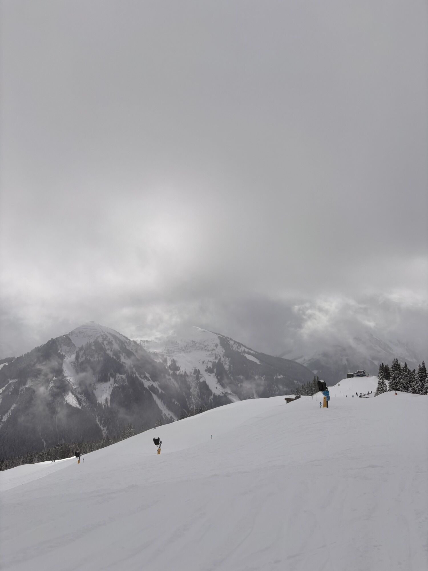


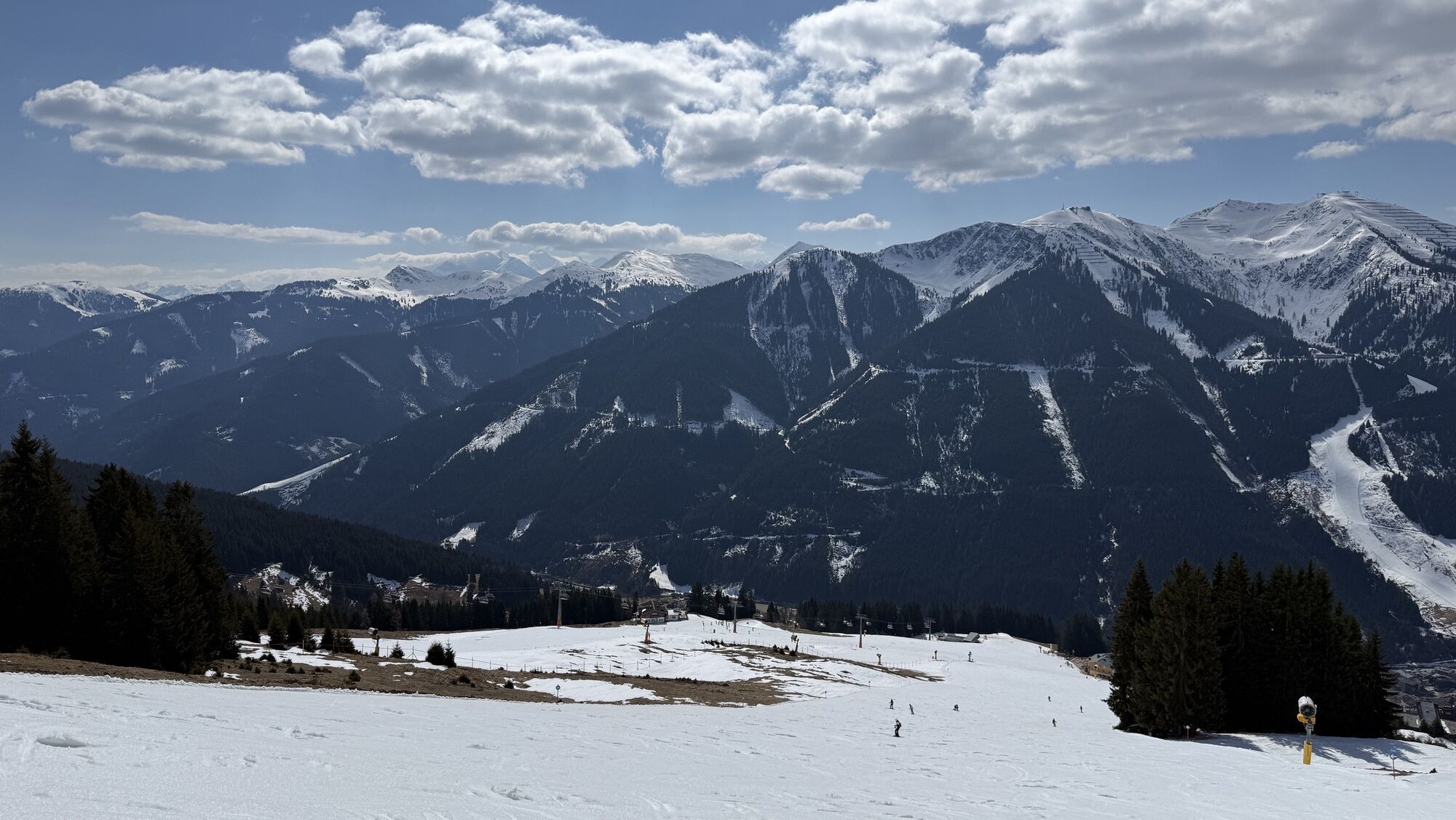
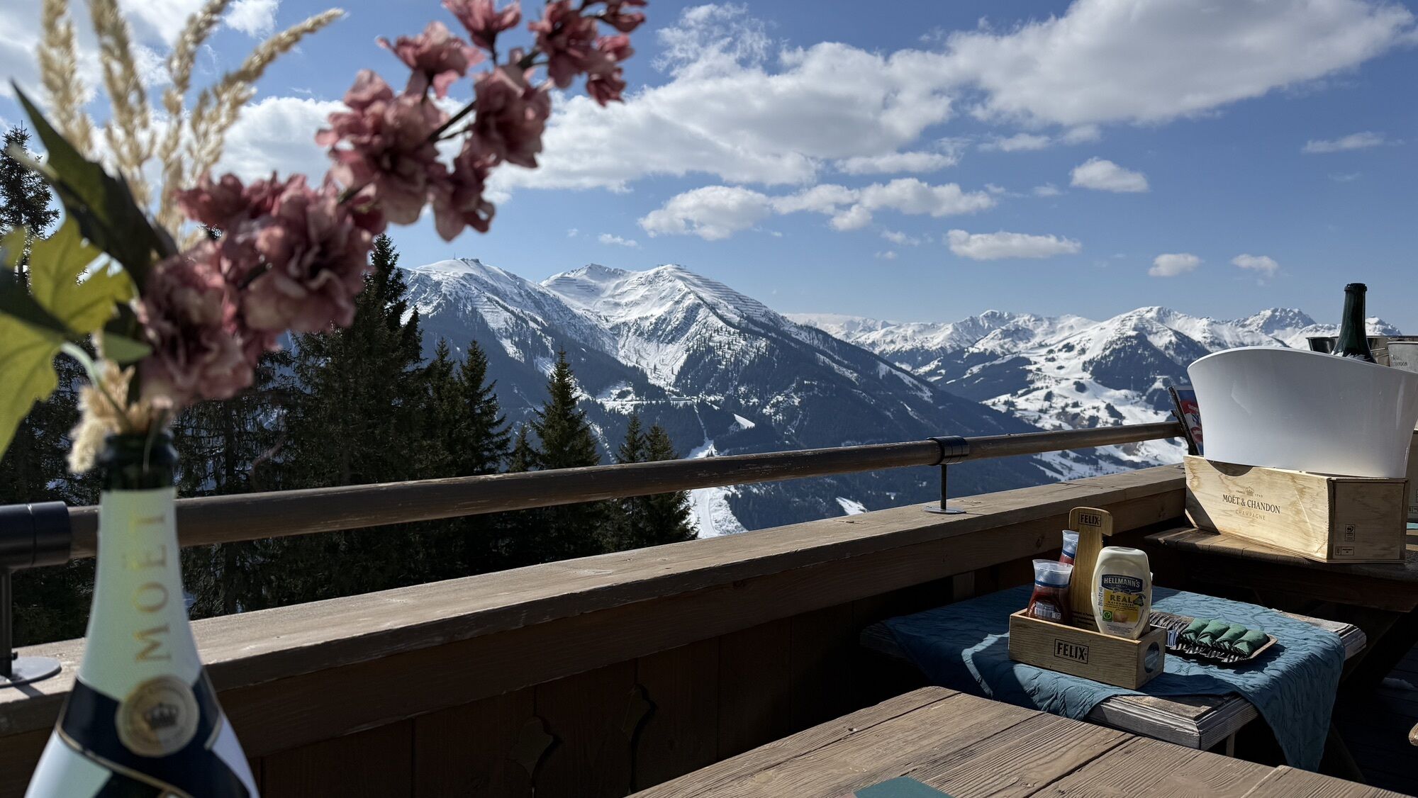
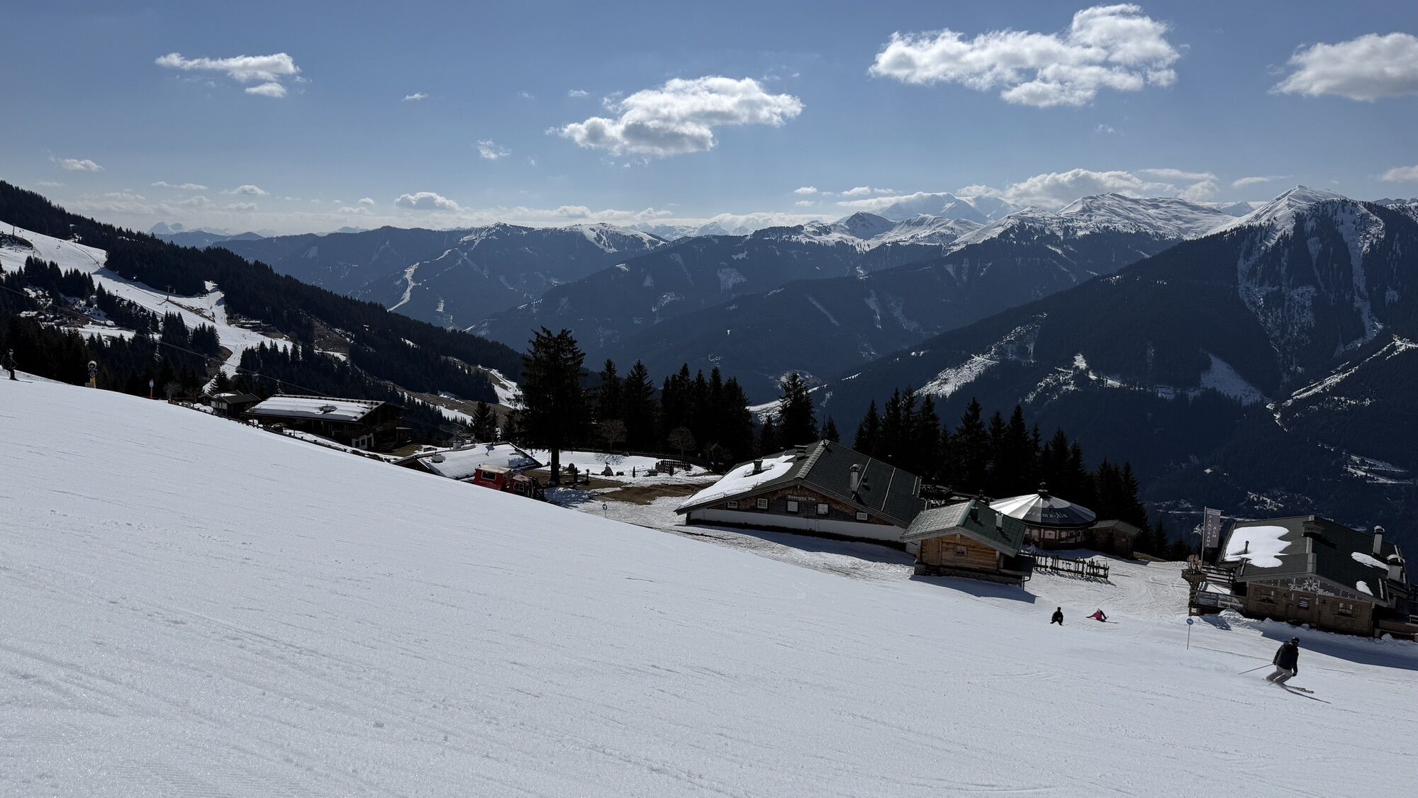
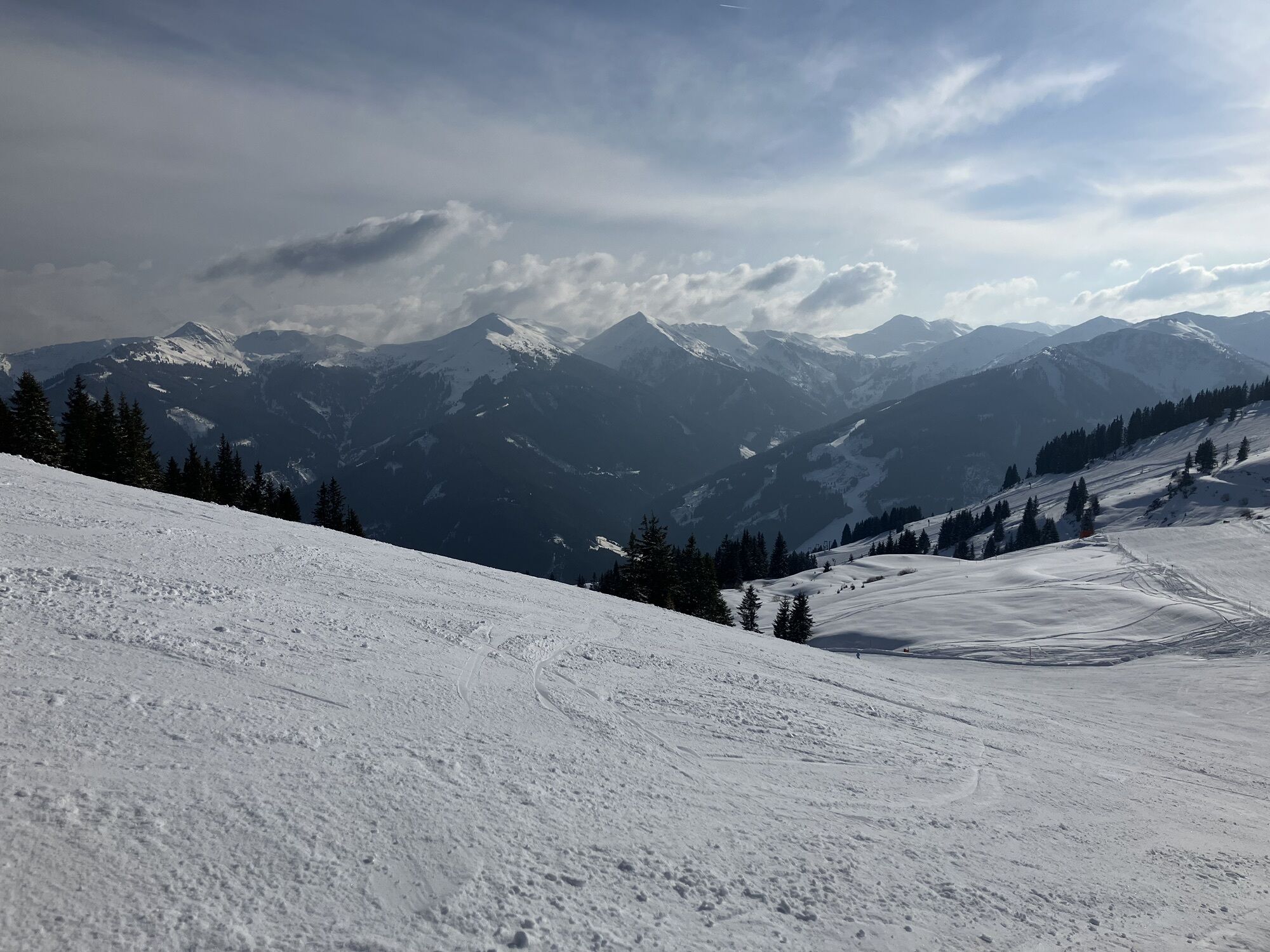
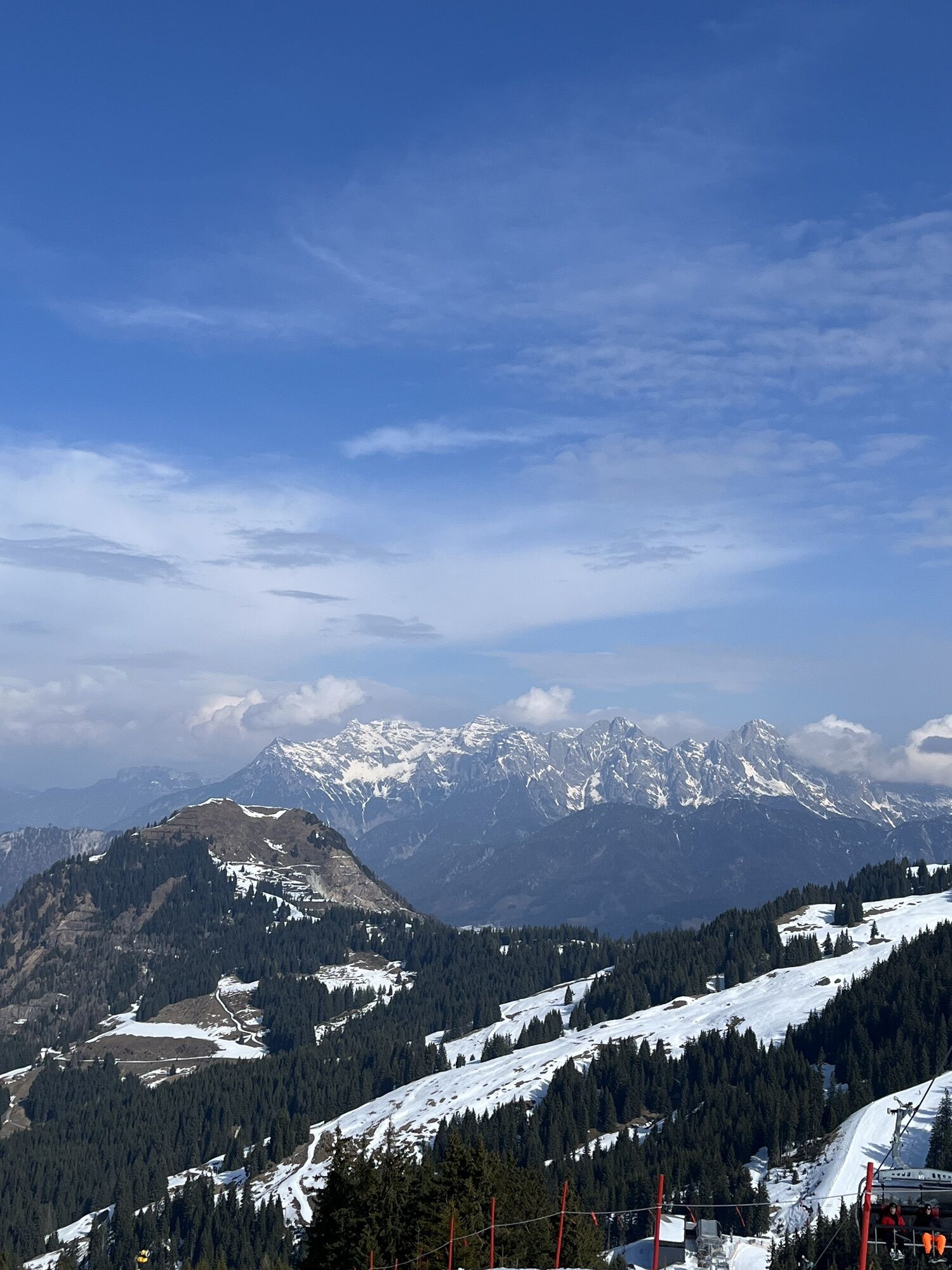


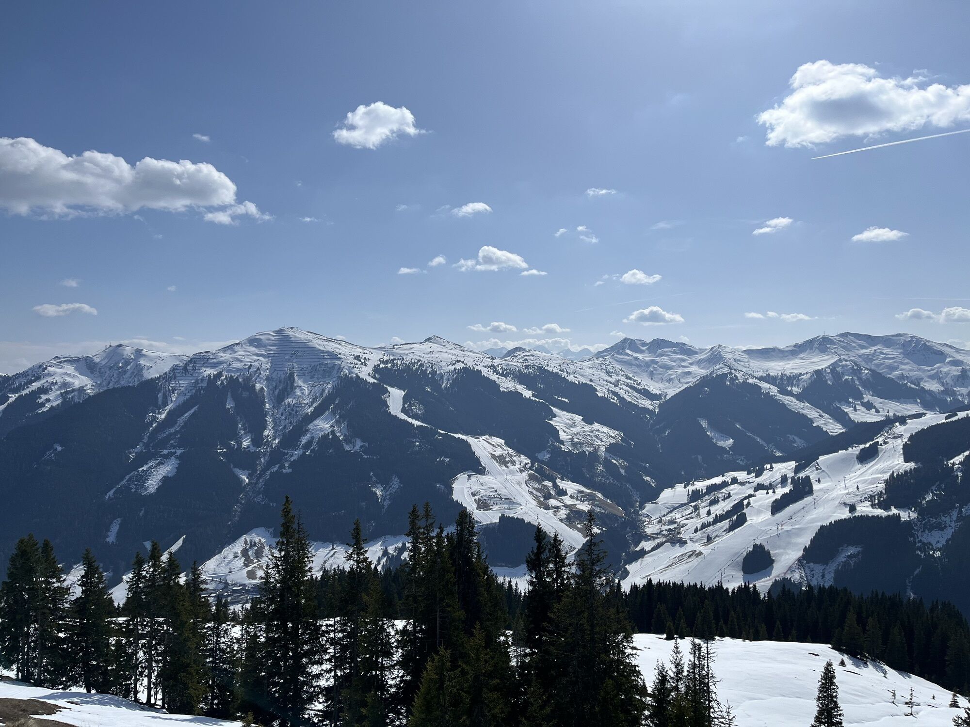
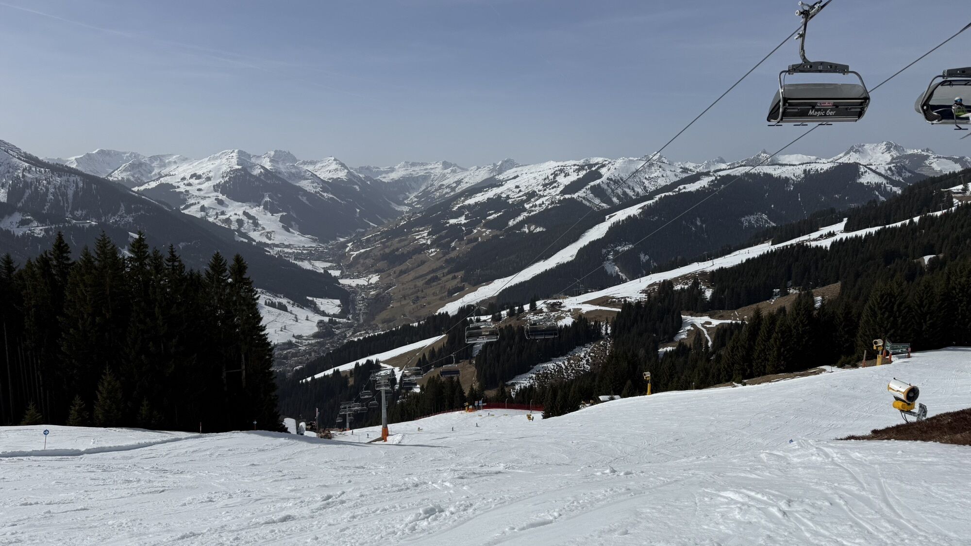
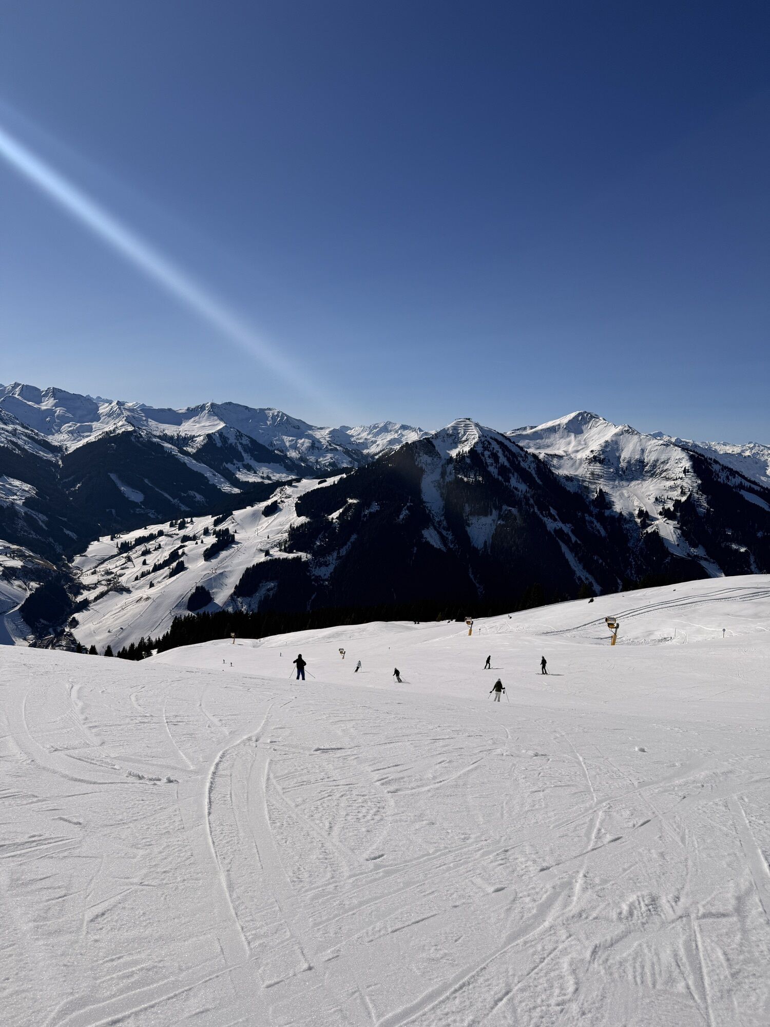
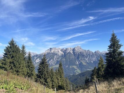
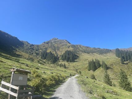
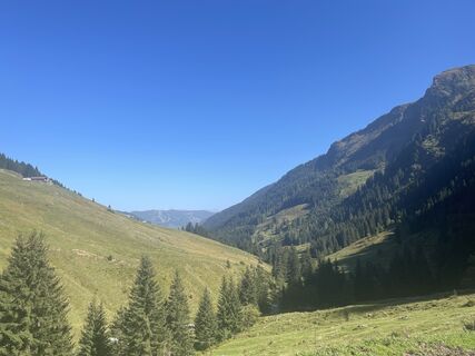
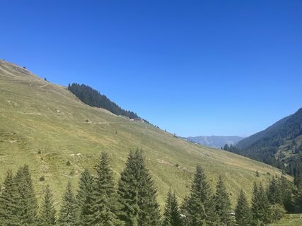
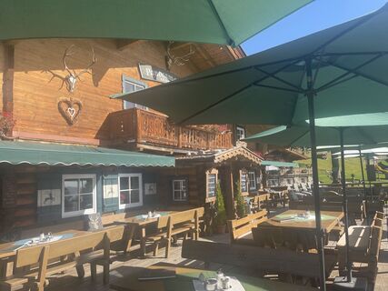
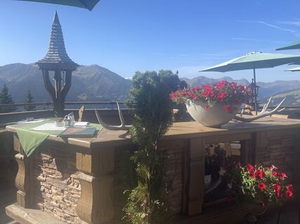
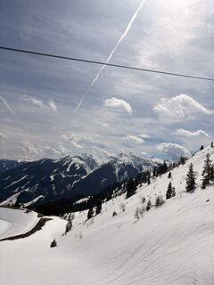
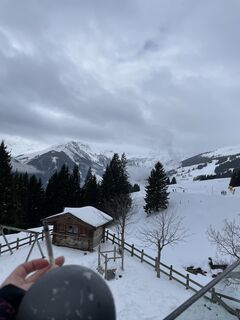
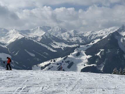
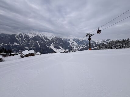
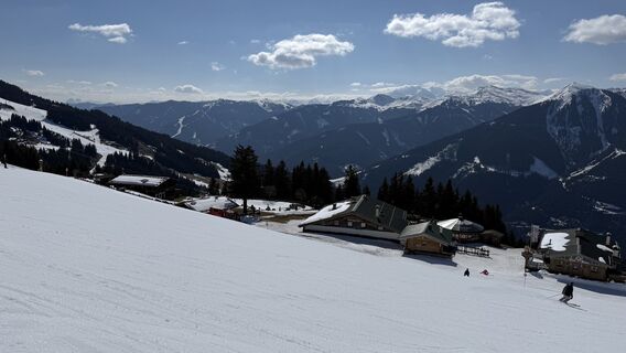
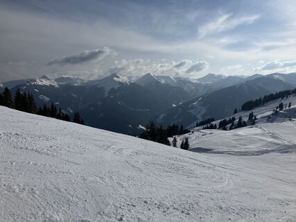
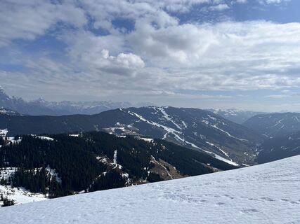
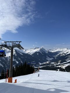
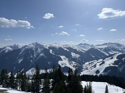
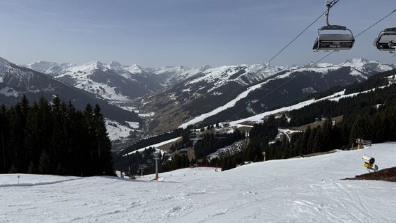
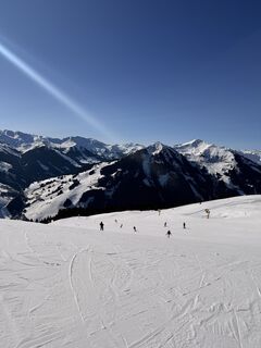
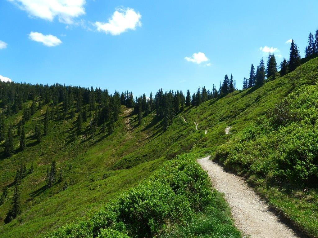
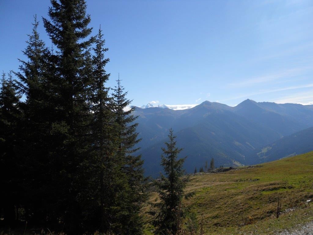
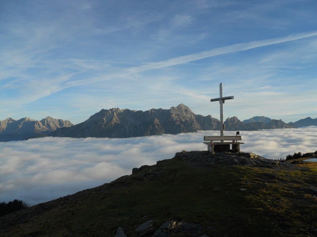
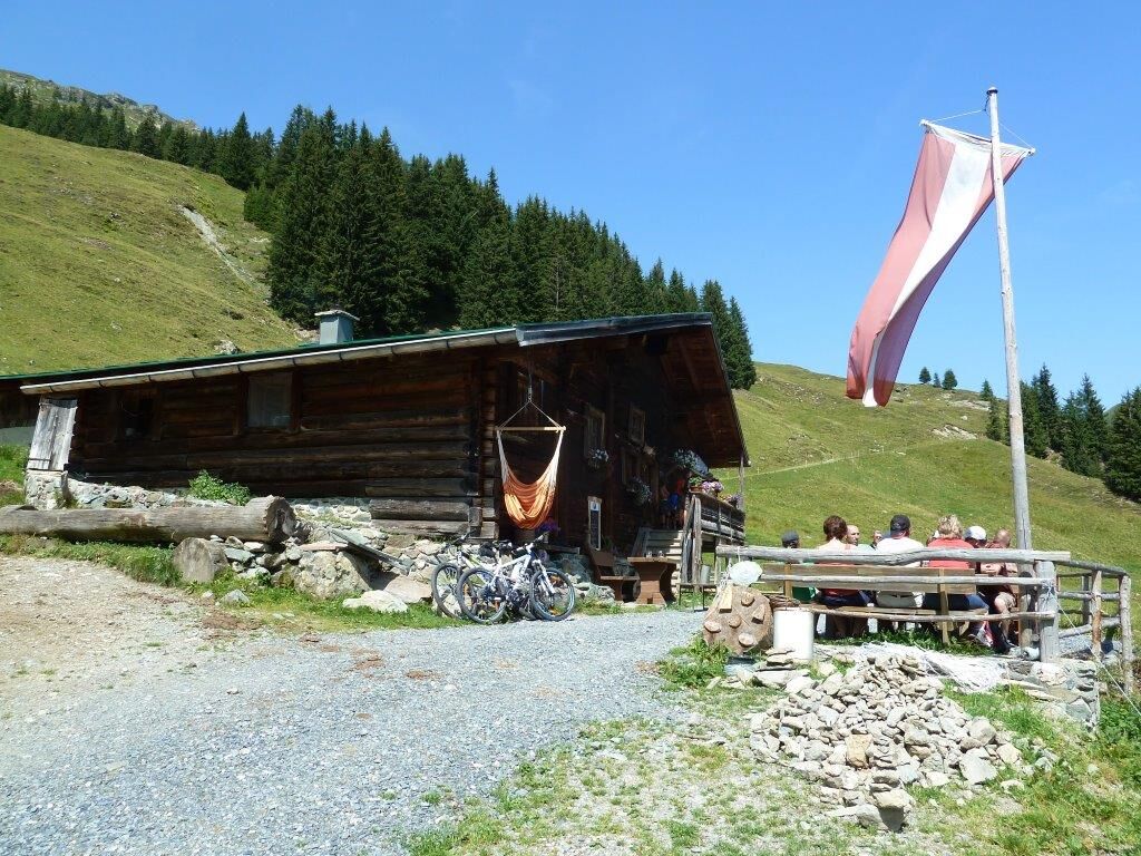
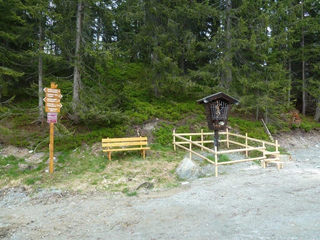
The 11-Hut Trail from Viehhofen to the end of the valley is an extensive and challenging hike along the sunny side of the Glemm Valley. The route follows well-maintained hiking trails and forest roads...
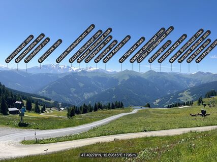
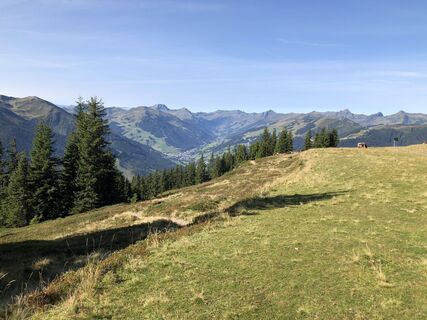
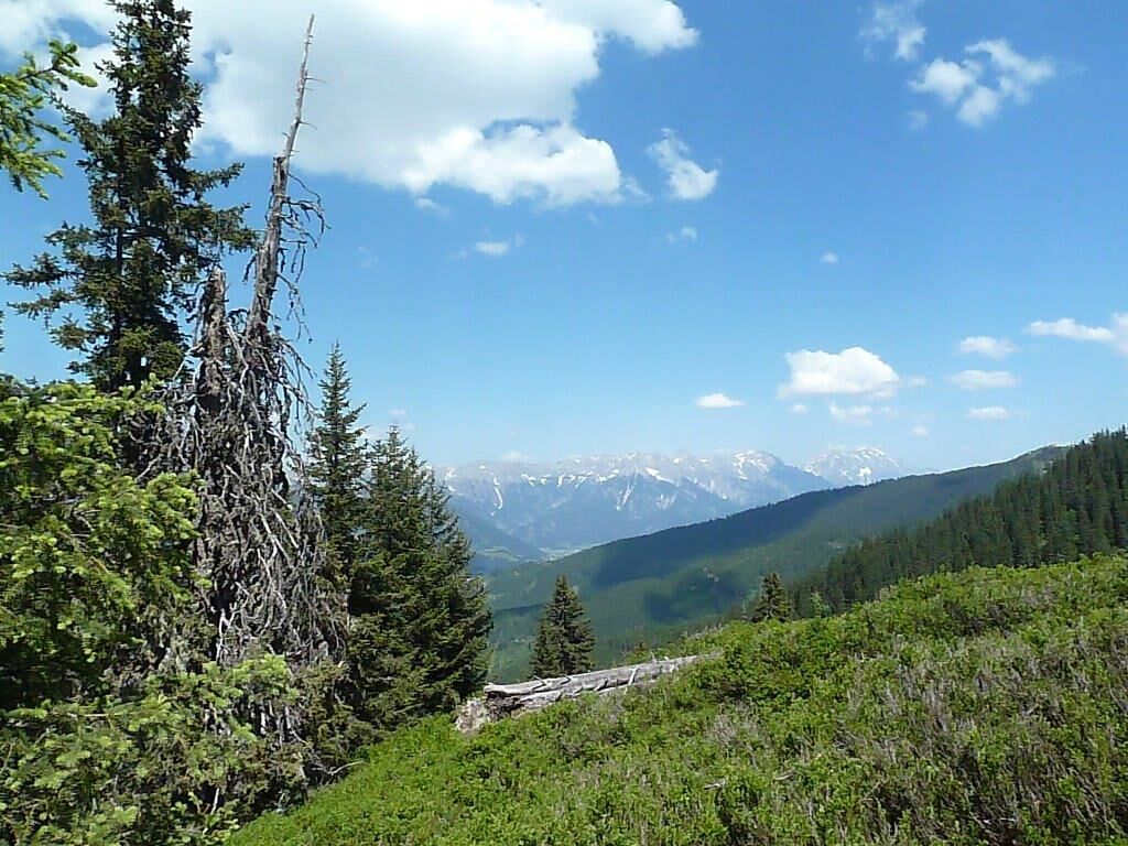
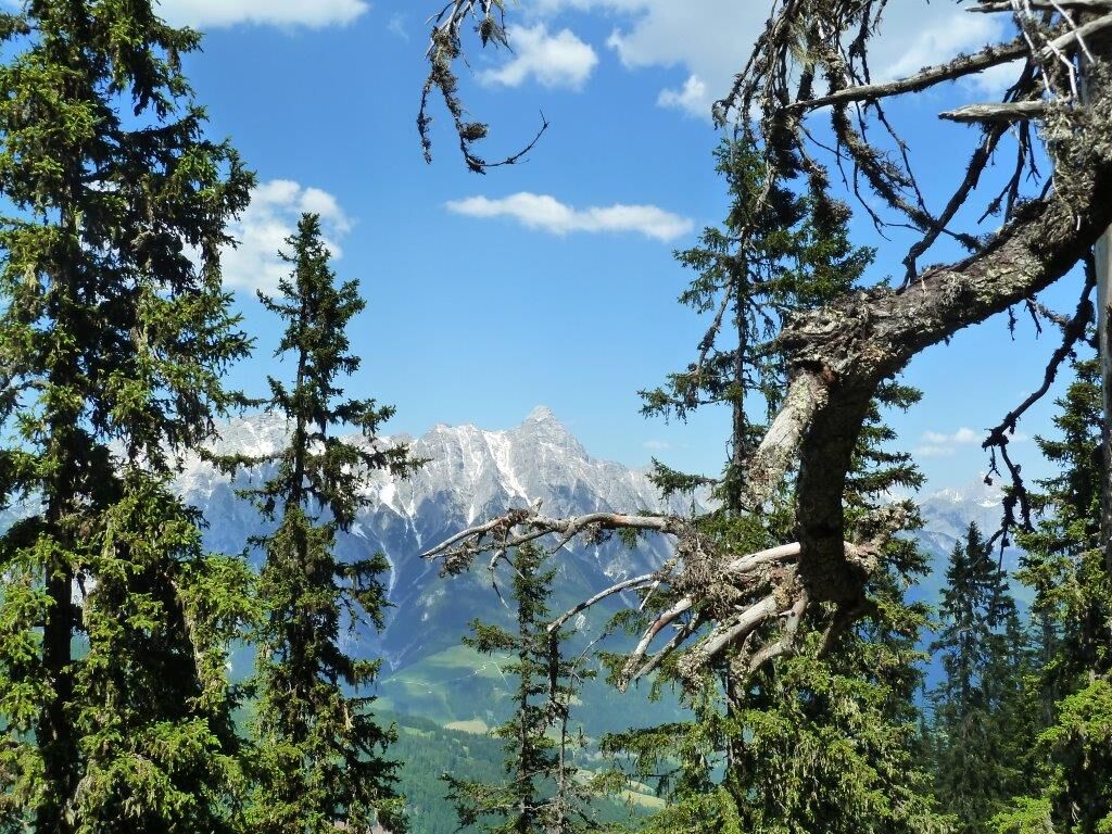
The 11-Hut Trail from Viehhofen to the end of the valley is an extensive and challenging hike along the sunny side of the Glemm Valley. The route follows well-maintained hiking trails and forest roads through diverse landscapes of woods, alpine pastures, and high-altitude paths. Starting in Viehhofen, the trail climbs steadily past several alpine pastures and huts, which give the tour its name. Along the way, expansive views of the Glemm Valley and the surrounding mountains repeatedly unfold. The trail largely follows the sunny side, offering a particularly immersive nature and panoramic experience. The route then leads to the end of the valley in Saalbach Hinterglemm, a scenically impressive destination with an alpine character. Due to its length and elevation gain, the tour is best suited for experienced and fit hikers. For the return journey, it is possible to take the bus (line 680) from the end of the valley back to Viehhofen.

Viehhofen se encuentra en el valle de Glemmtal entre Zell am See y Saalbach-Hinterglemm. Ambos lugares están a unos 9 km de distancia. Desde Zell am See y desde Saalfelden, gire hacia el valle de Glemmtal en Maishofen. Desde Maishofen hay aproximadamente 5 km hasta Viehhofen.
Llegada en tren hasta Zell am See. El autobús nº 680 circula cada hora entre Zell am See y Viehhofen. El punto de partida del recorrido está justo en la parada "Viehhofen Ortszentrum".
Desde el final del valle, el autobús postal nº 680 regresa cada hora a Viehhofen o Zell am See.
En el centro de Viehhofen hay un aparcamiento público que se puede utilizar gratuitamente durante el día. El punto de partida está justo en este aparcamiento.
T1
Webcams del recorrido
-
Schmittenhöhe
-
Schattberg - West
-
Asitz Gipfel
-
Berghotel Seidl-Alm
-
Schattberg Westgipfel
-
Hinterglemm Dorf
-
Asitz Mittelstation
-
Kohlmais Tal
-
Sonnkogel
-
Schmittenhöhe
-
Asitz Talstation
-
Schmittenhöhe
-
Schmittenhöhe
-
Reckmoos
-
Hinterglemm - Saalbach
-
Großer Asitz / Gipfelkreuz
-
Schattberg Ost
-
Zwölferkogel
-
Wildenkarkogel
-
Saalbach - Alpinresort Sport & Spa
-
Schattberg-Ost
-
Zwölferkogel
-
Wildenkarkogel
-
Talstation Asitzbahn
-
Maishofen Sausteige
-
Saalbach-Hinterglemm - Kohlmais
-
Kohlmaiskopf
-
Leogang - Grosser Asitz
-
zellamseeXpress
-
Martenhof
-
Reckmoos
-
Wohlfühlhotel-Johanneshof
-
Eberharthof - Saalbach-Hinterglemm
Rutas populares en los alrededores
-
4,1
Passauer Hütte
pesadoSenderismo 4,14 km -
3,8
Maurerkogel (Top)
Senderismo 10,5 km -
4,5
Birnbachloch Leogang, Österreich
medioSenderismo 5,18 km -
4,0
Montaña de los sentidos
luzSenderismo 4,39 km -
4,9
Hochsonnberg Runde
medioMountainbike 59,8 km -
5,0
Spielewanderweg de Leo
luzSendero temático 4,89 km -
4,5
Lettlkaser
medioSenderismo 4,40 km -
4,2
Sendero de altura Saalachtaler ESTE (Asitz - Biberg)
medioSenderismo 13,1 km -
3,8
Leogang - Kleiner Asitzkopf
Mountainbike 16,8 km -
5,0
Ruta panorámica con 3 cumbres y 2 lagos
medioSenderismo 7,35 km

Senderismo y rastreo


No se pierda las ofertas y la inspiración para sus próximas vacaciones
Su dirección de correo electrónico se ha añadido a la lista de correo.