


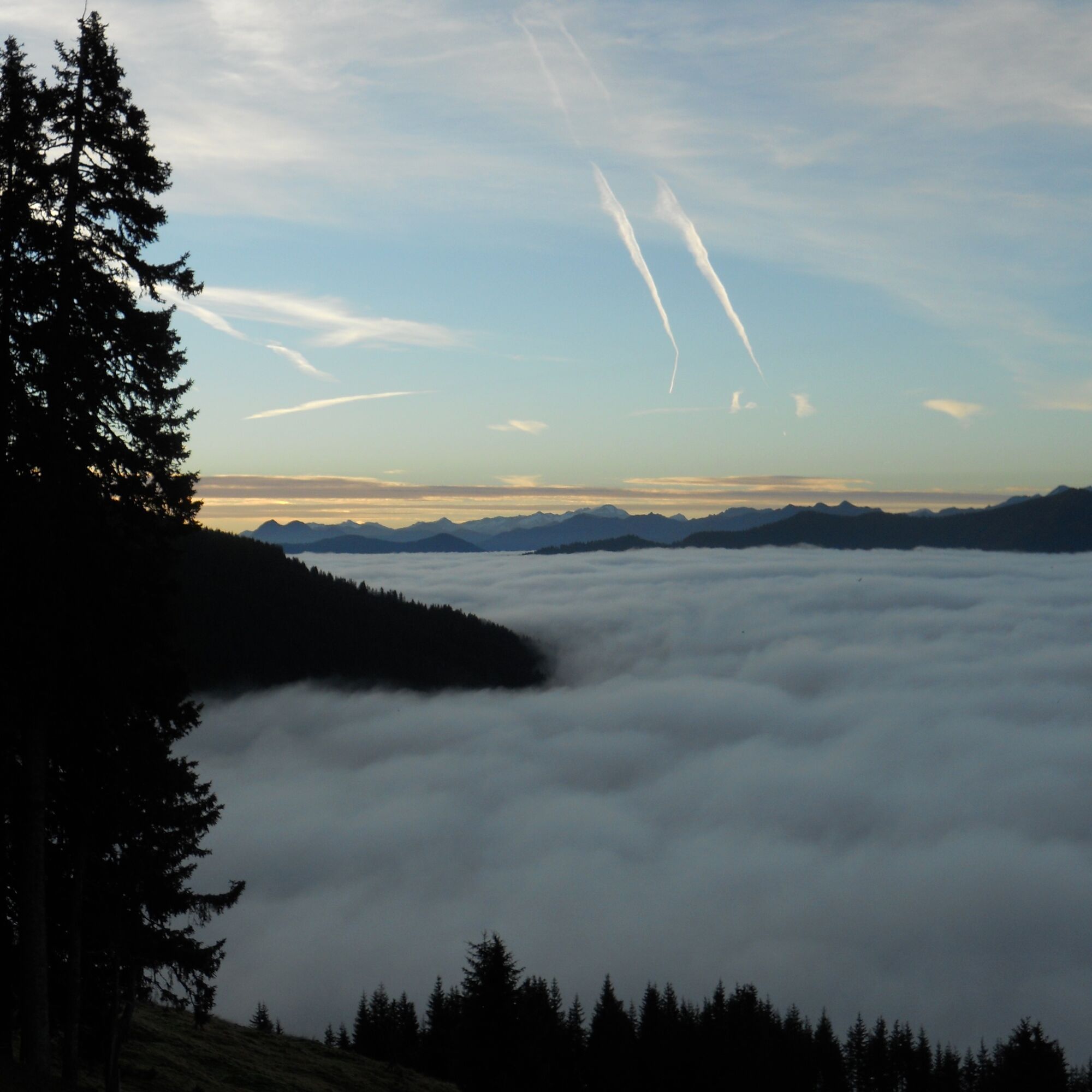
11 Huts Tour
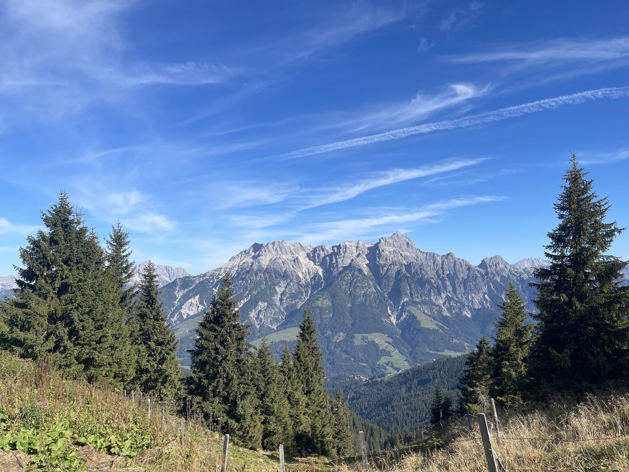
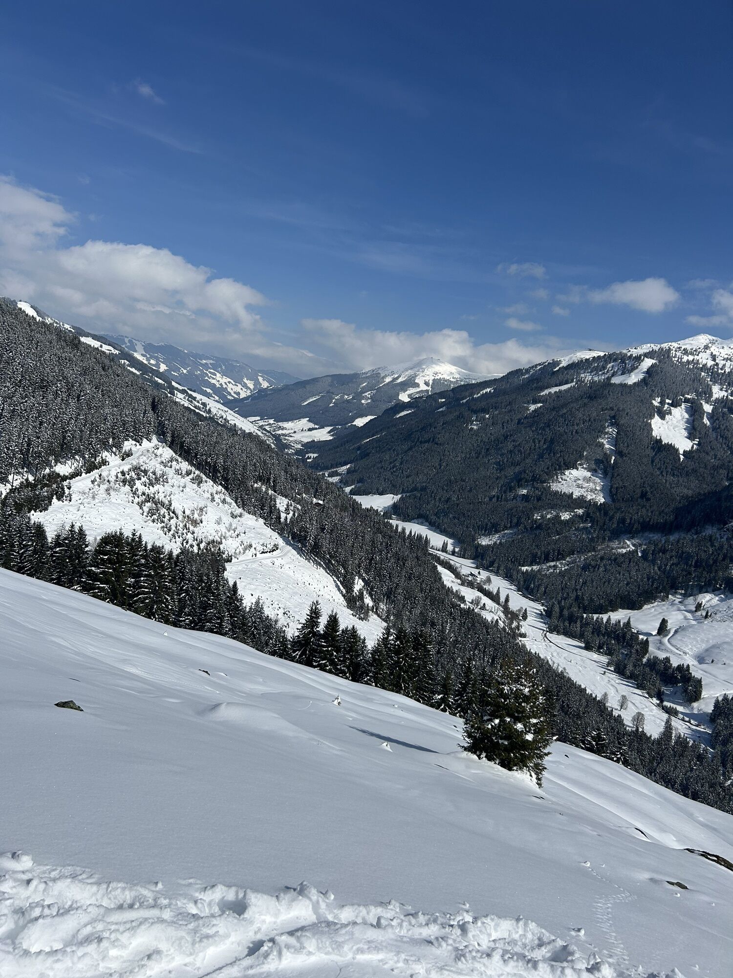
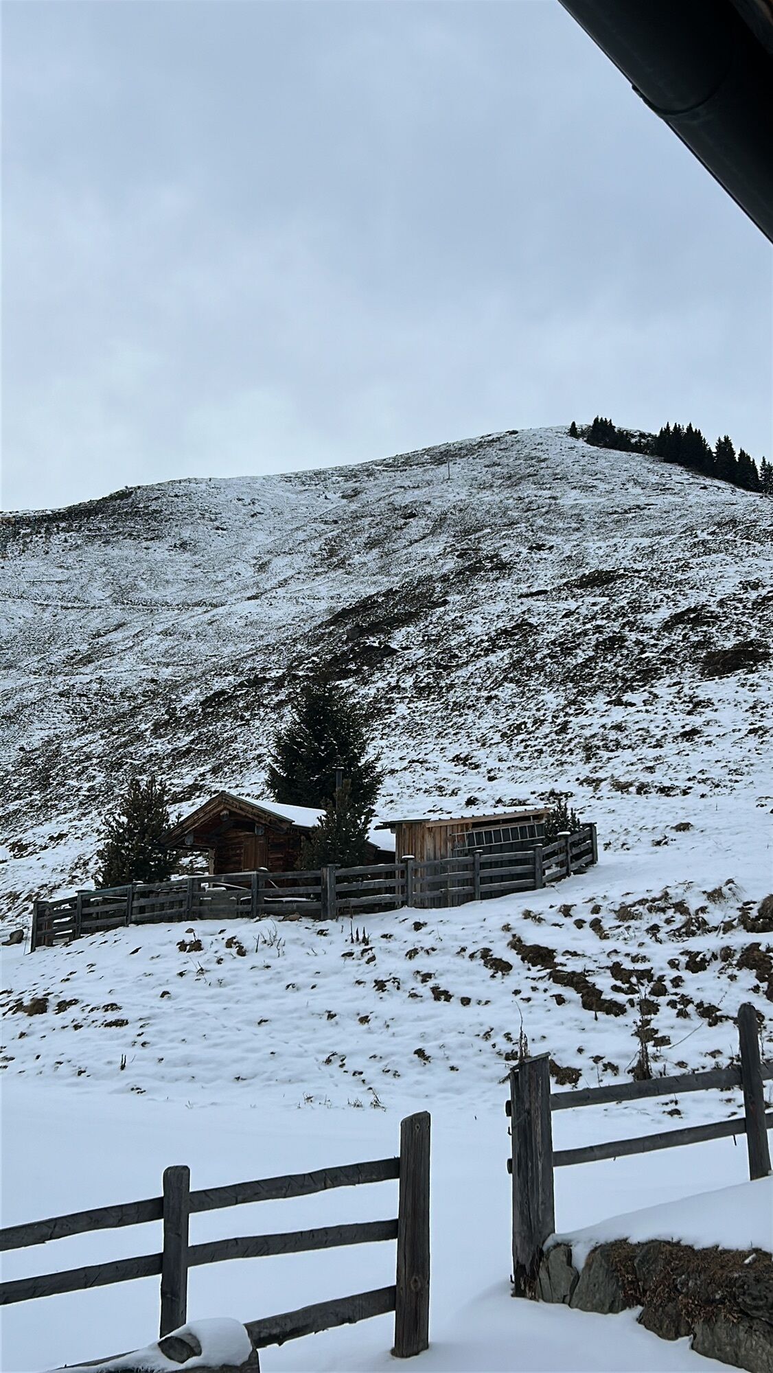
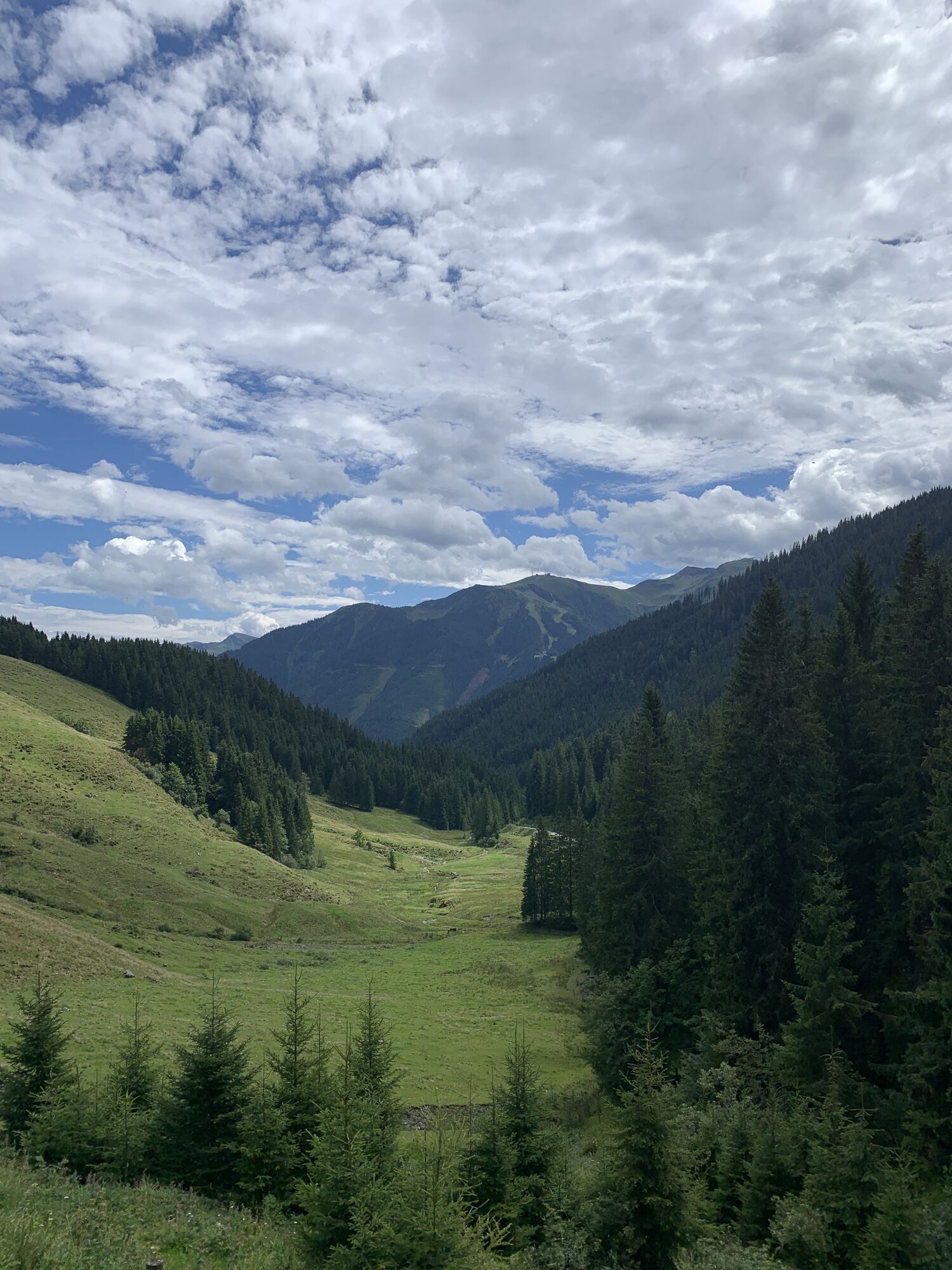


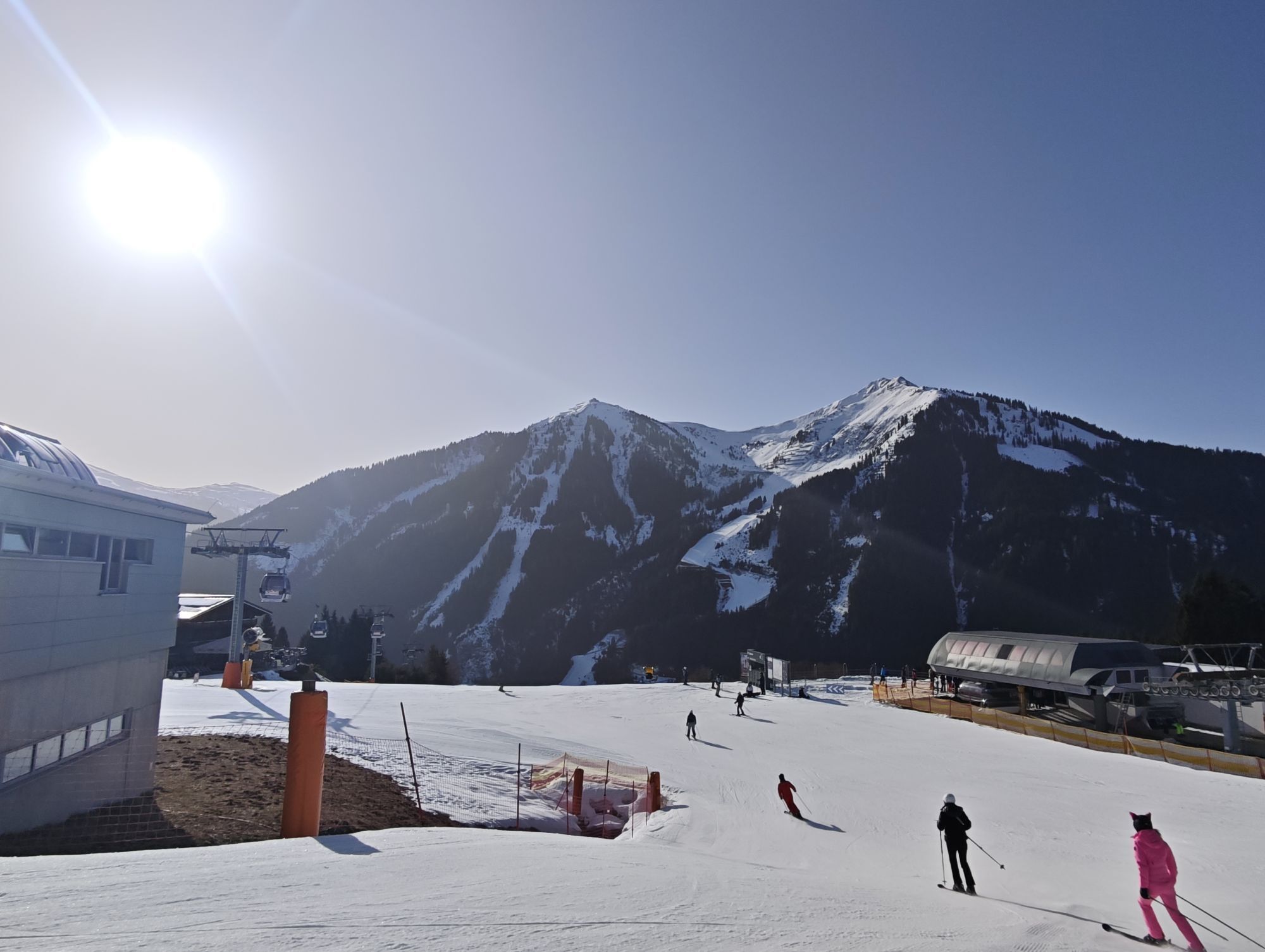
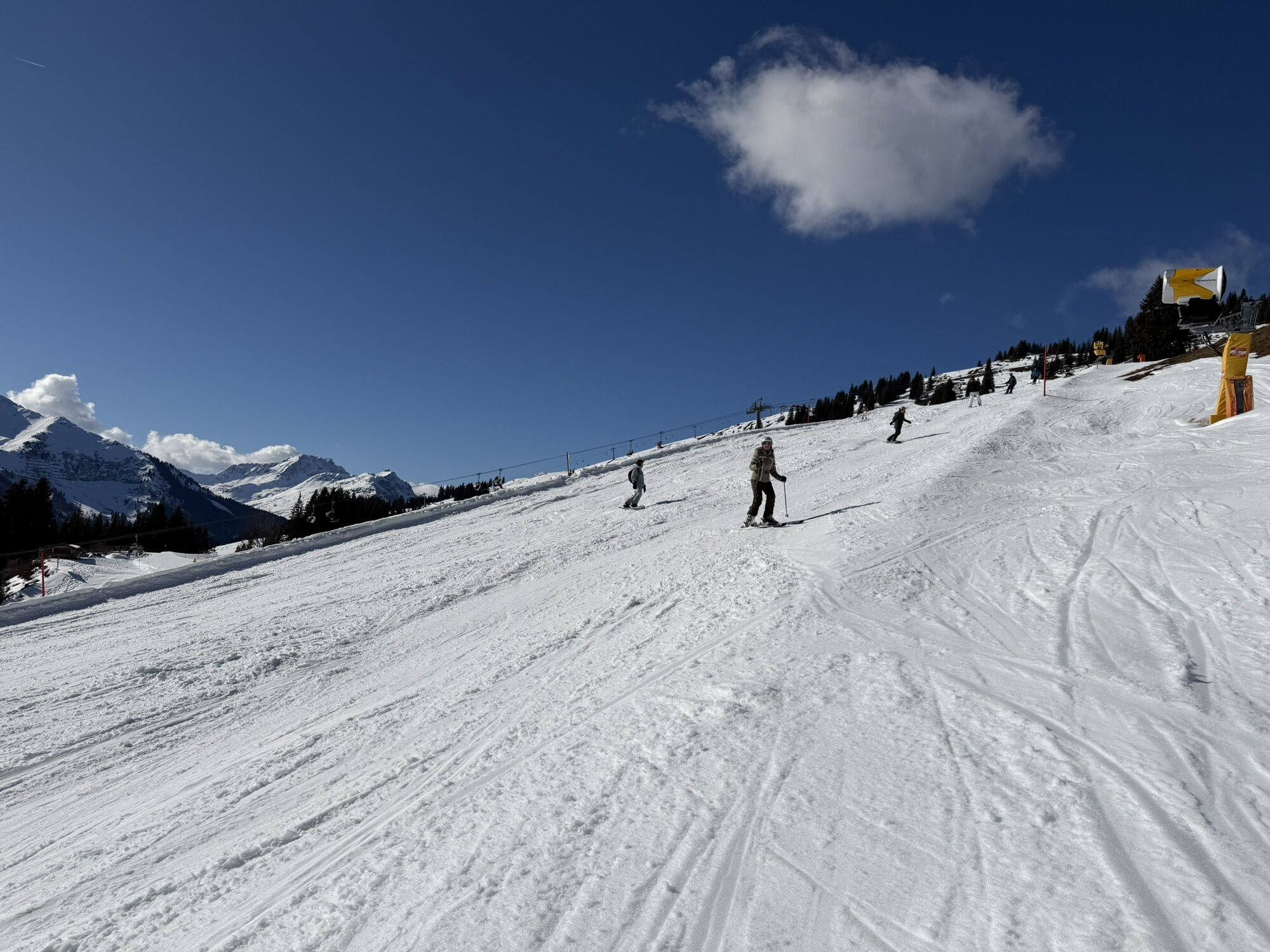
The tour passes 11 mountain huts between Maishofen (or Viehhofen) along the sunny side of the Glemm valley, ending at the Lindlingalm.

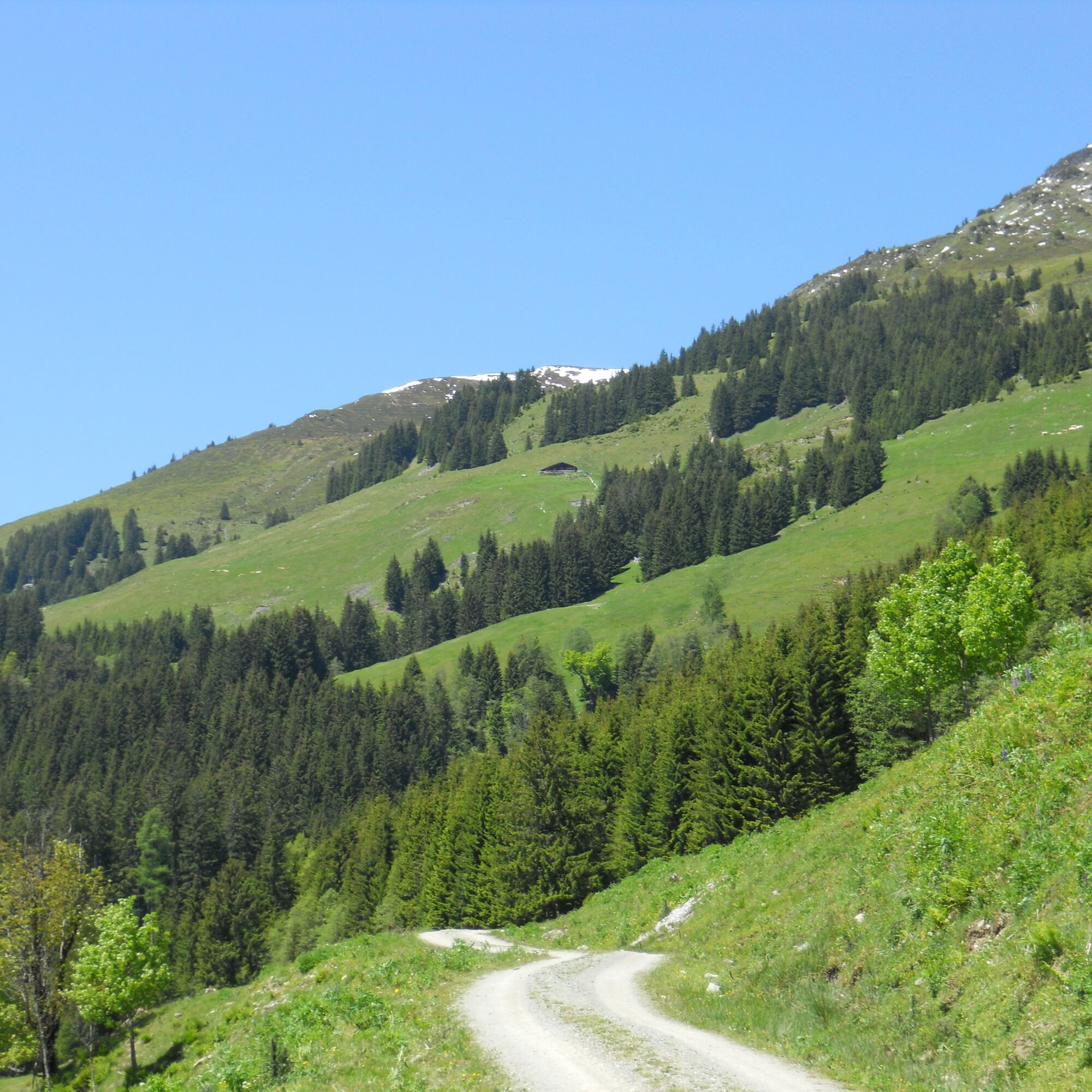
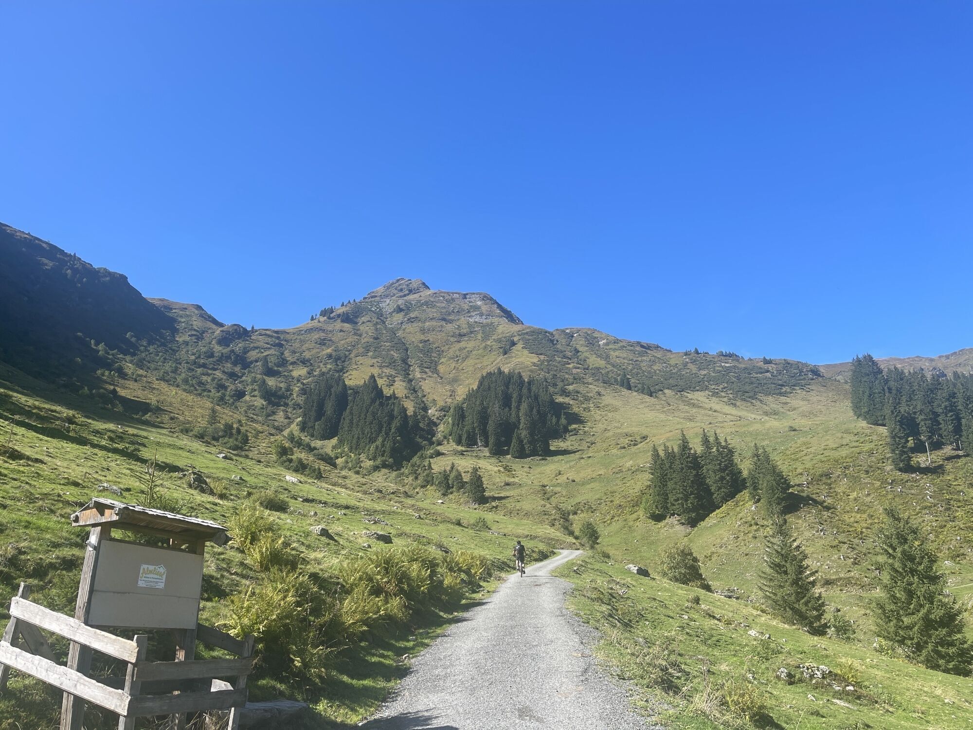
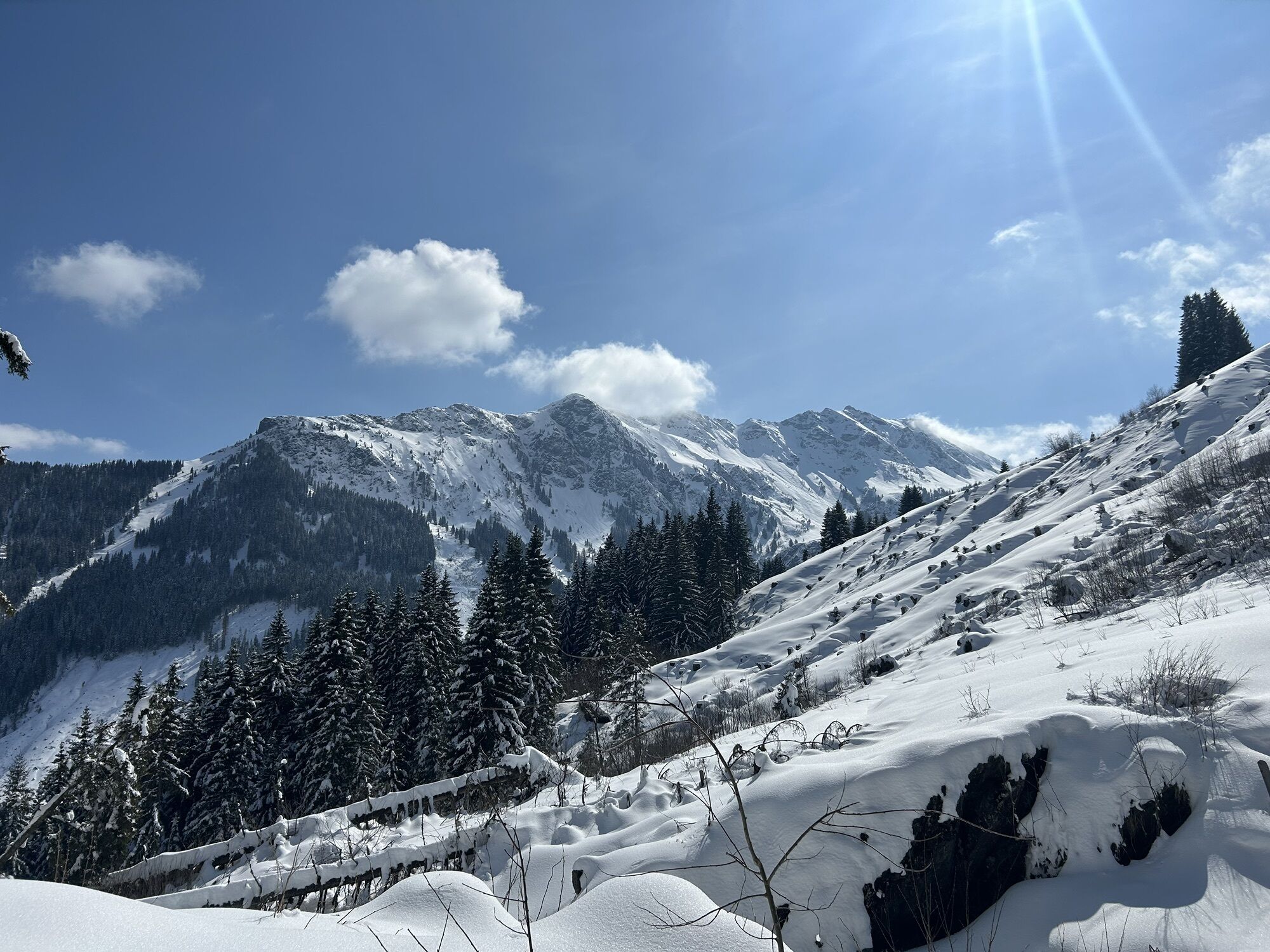
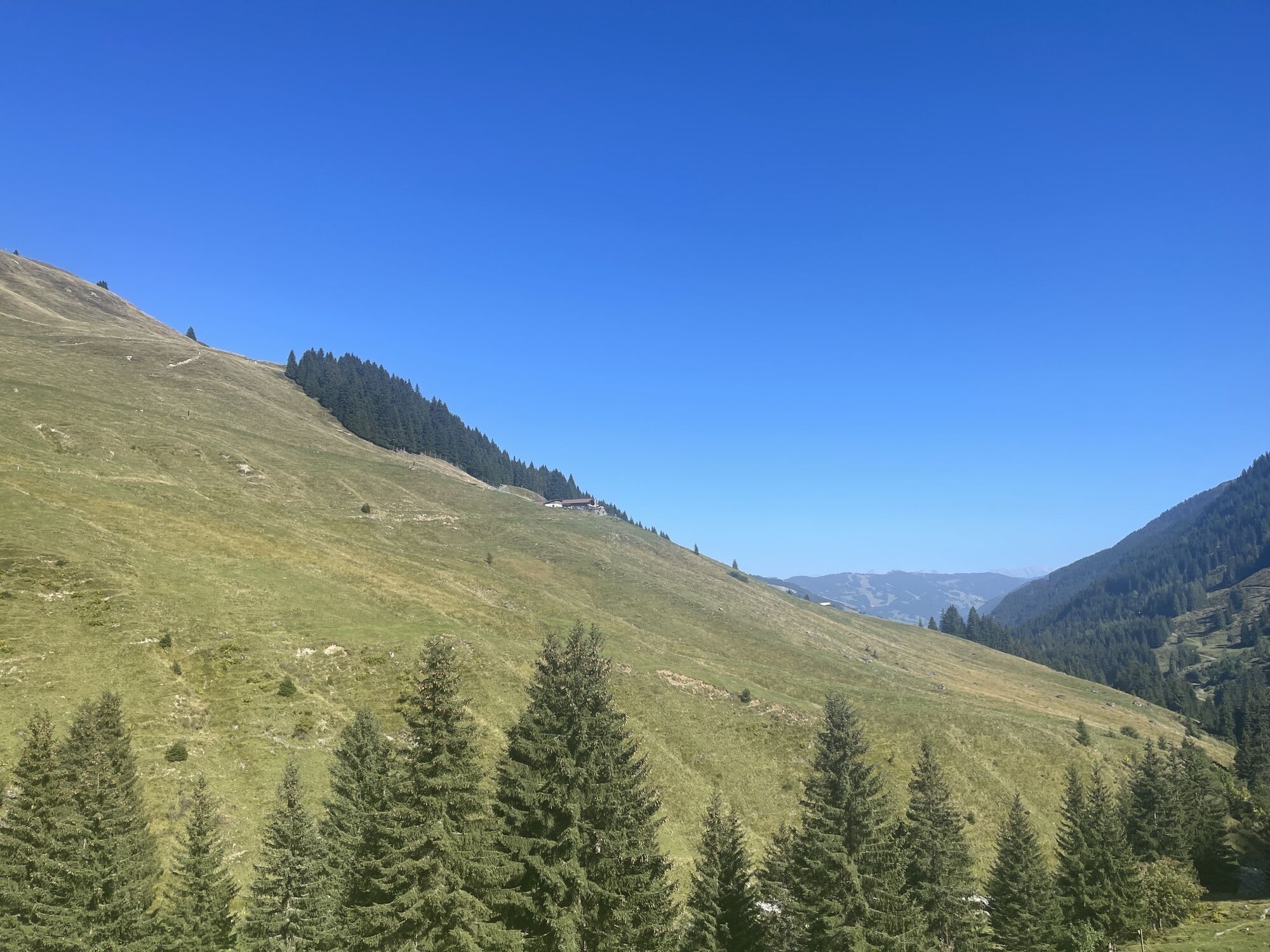
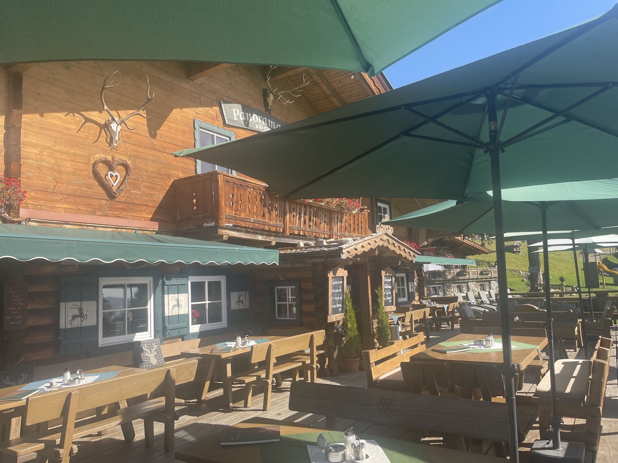
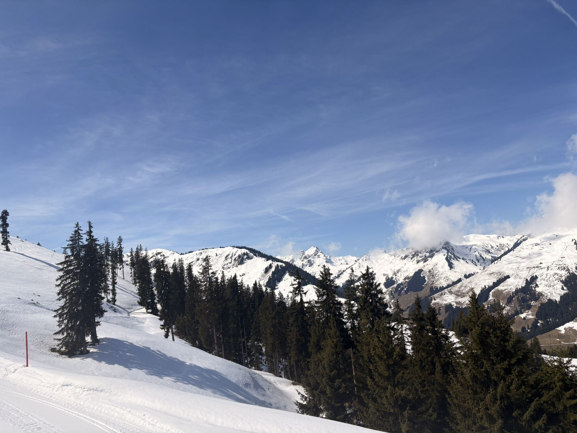
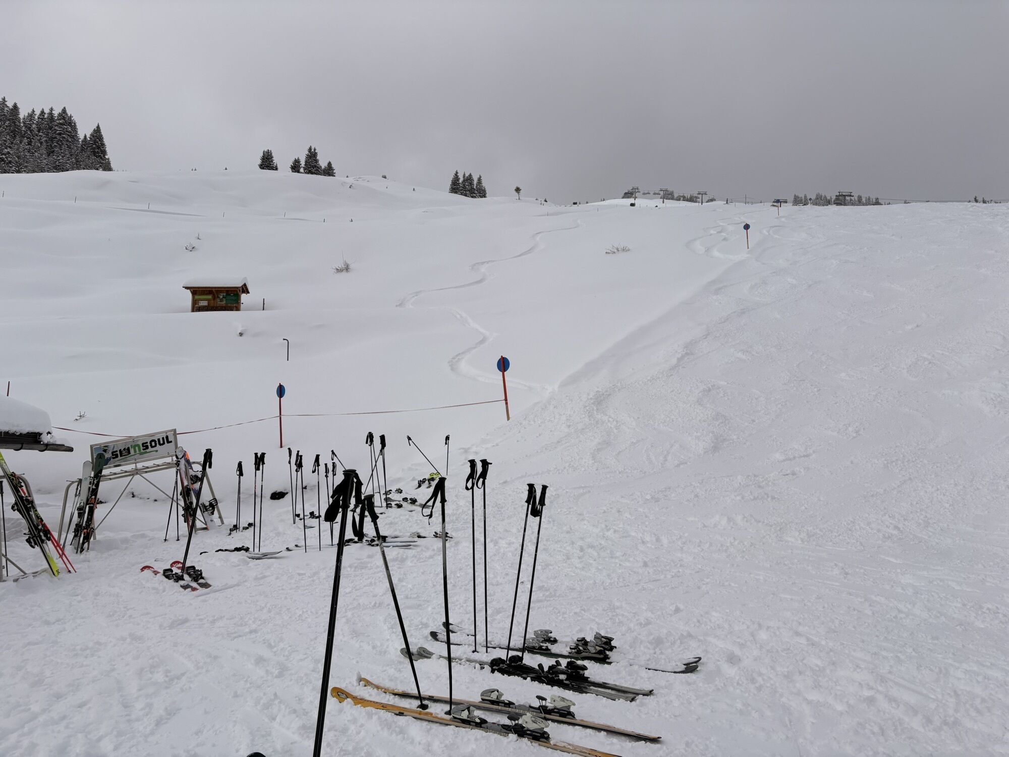
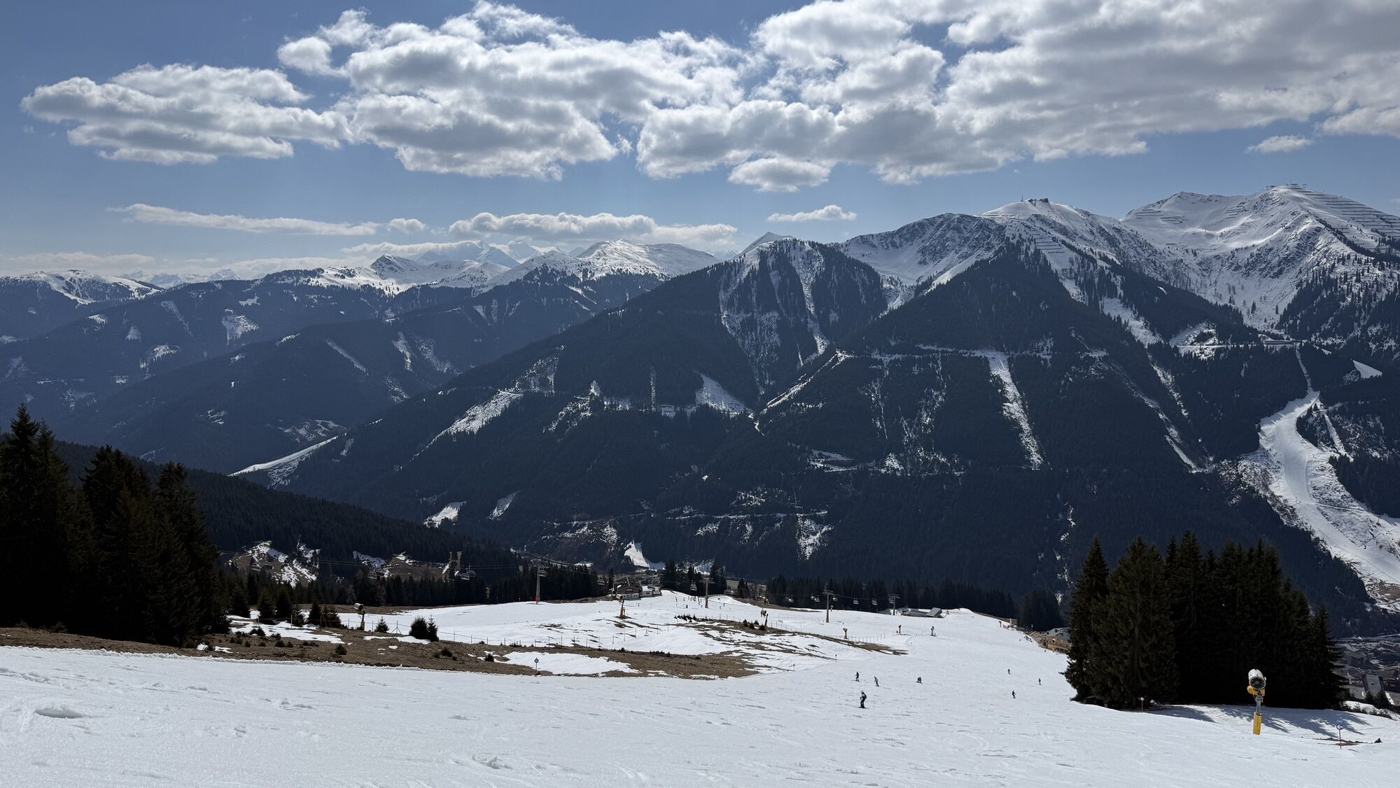
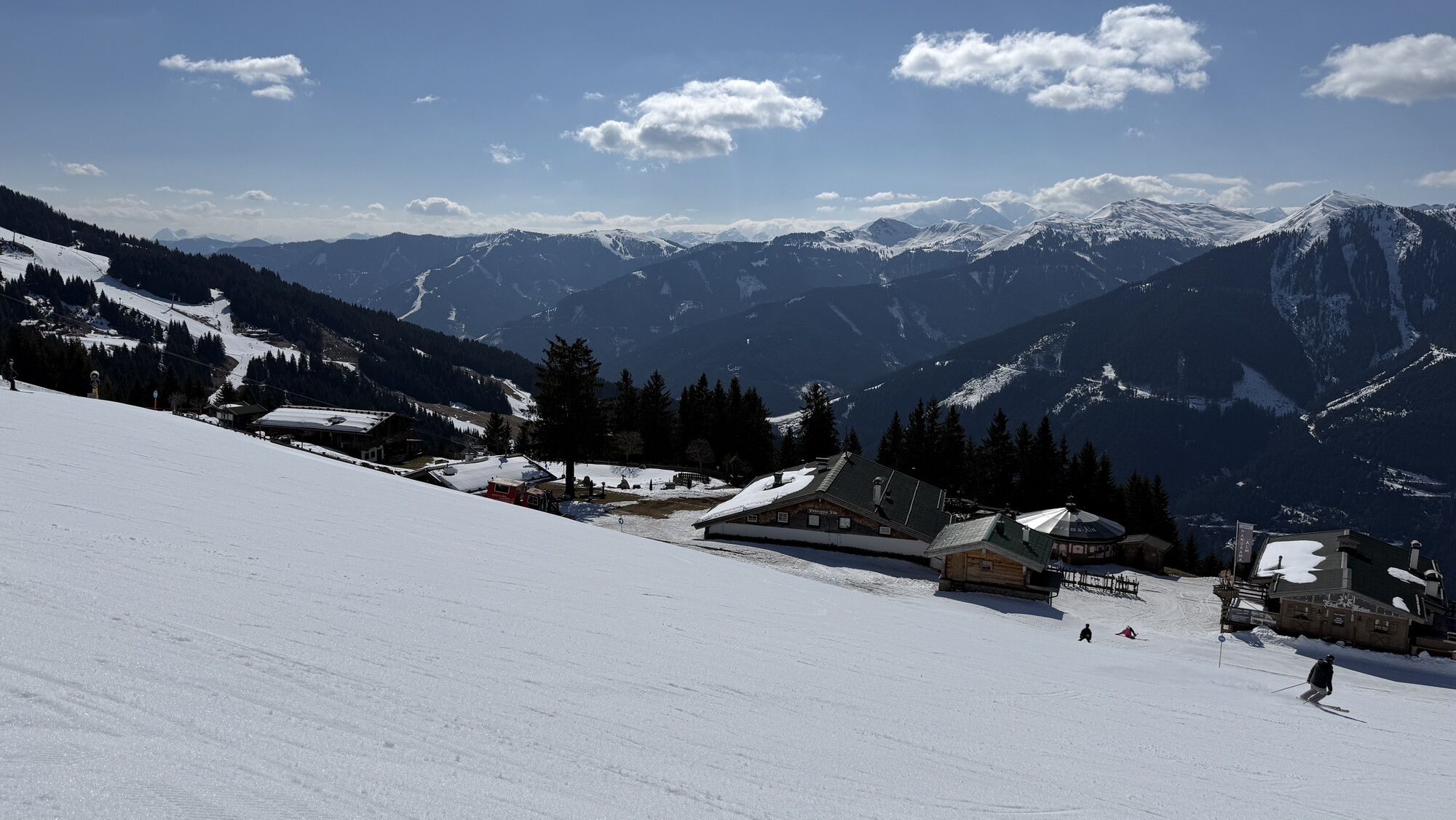
Continue along the forest path to the Panoramaalm. (This part can also be extended with an ascent to the Wildenkarhütte).
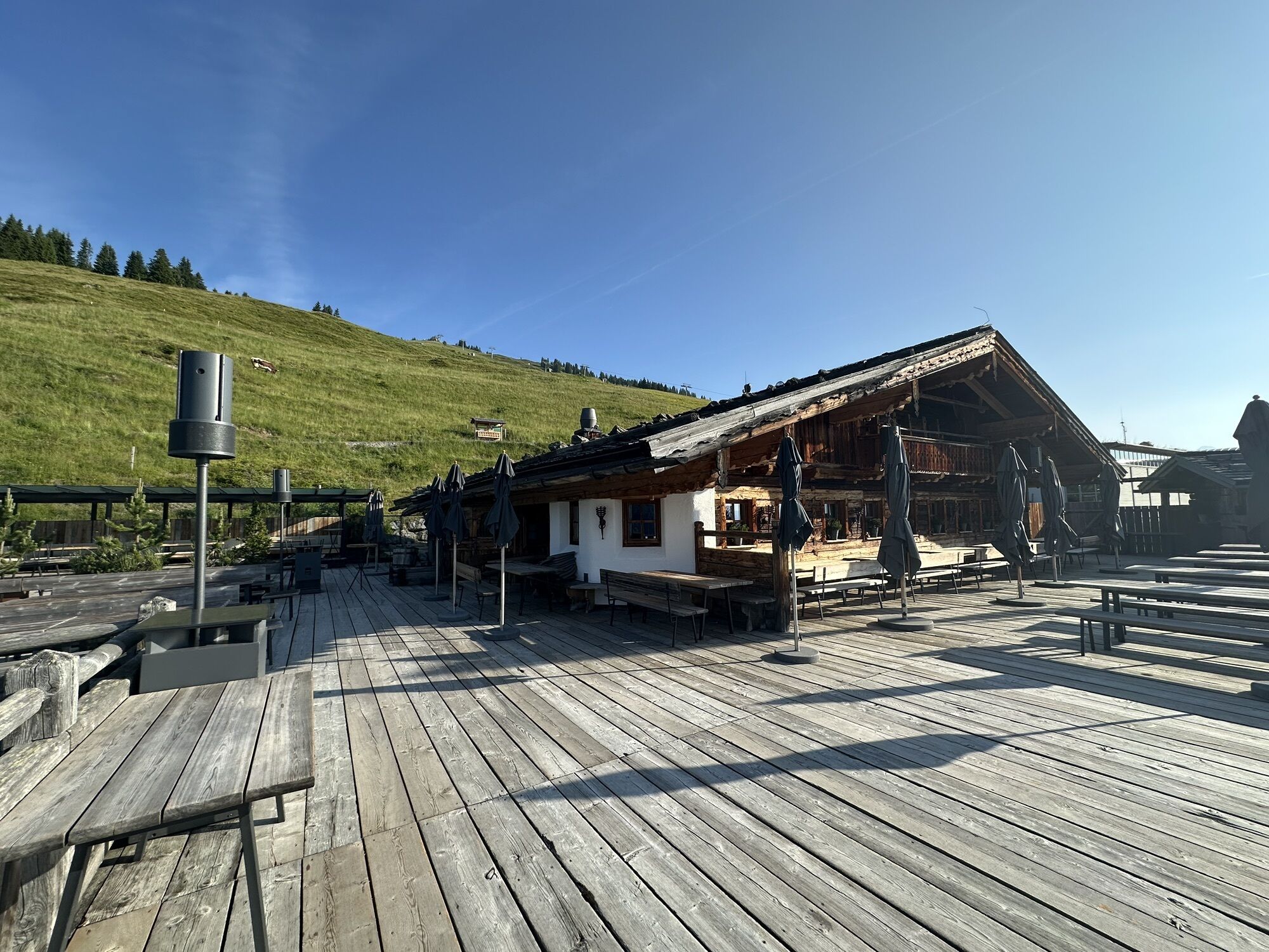
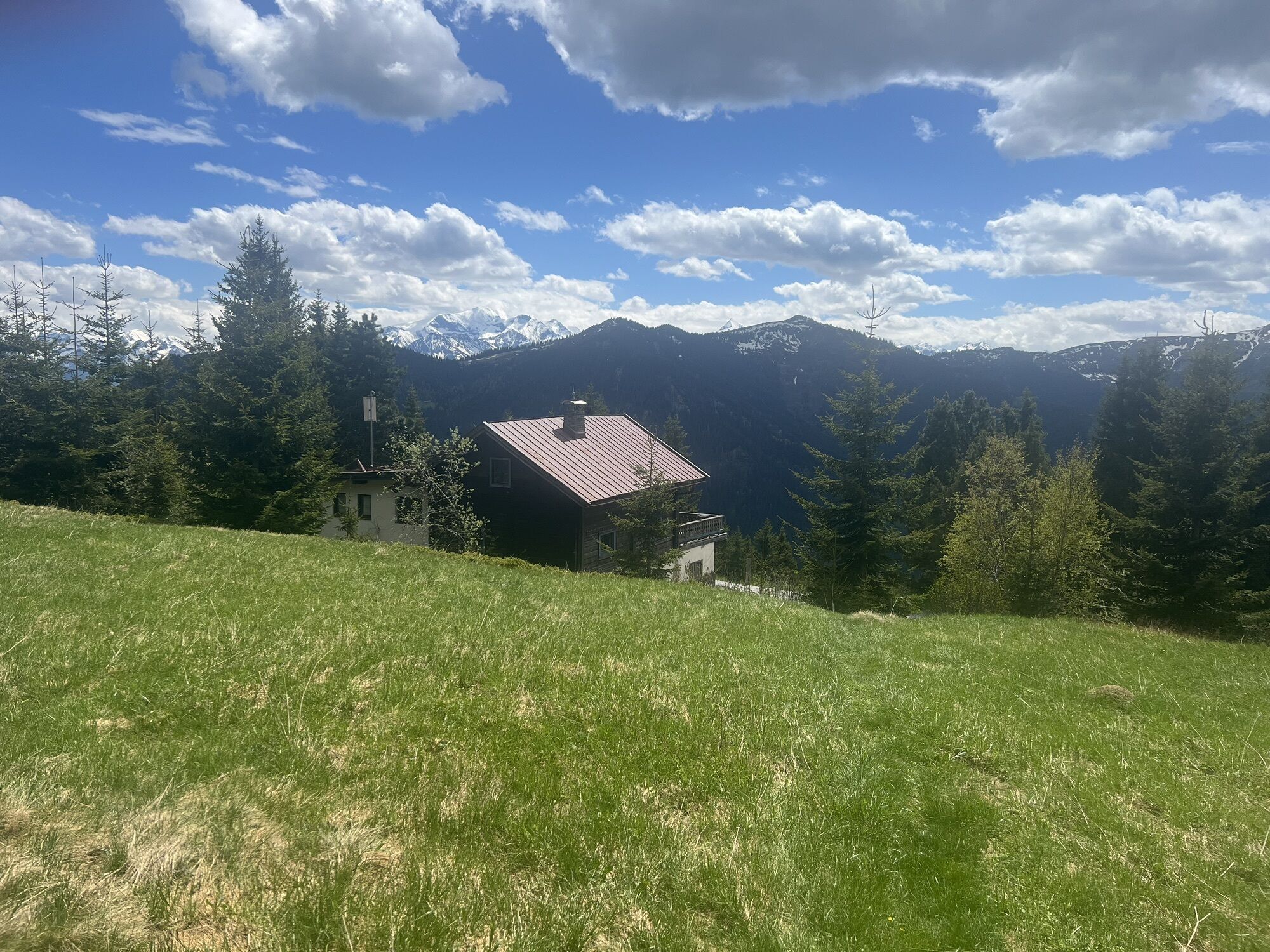
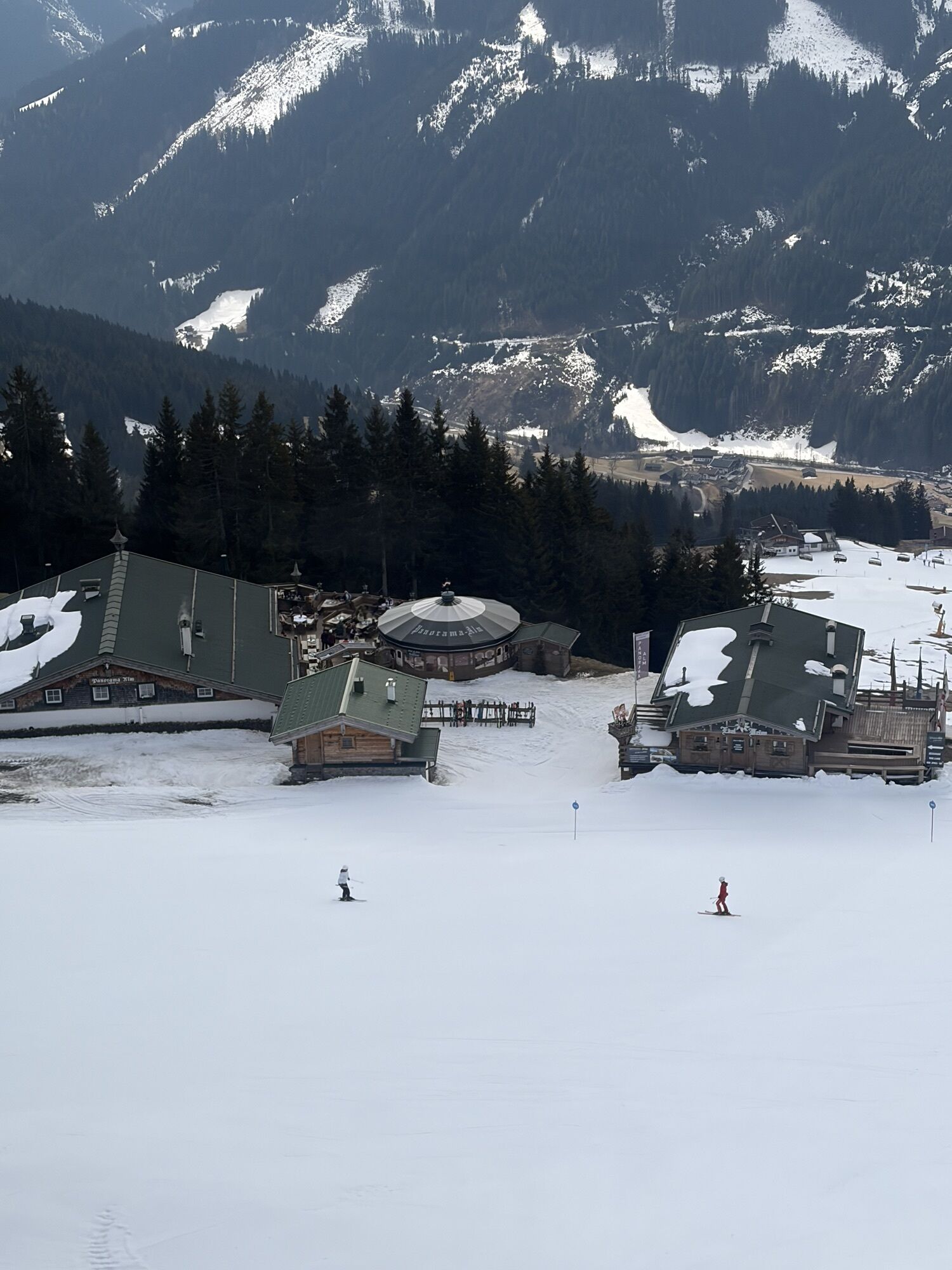
After the Panoramaalm, you reach the Spielberghaus, a well-known excursion destination with rooms, on a slightly sloping forest road.
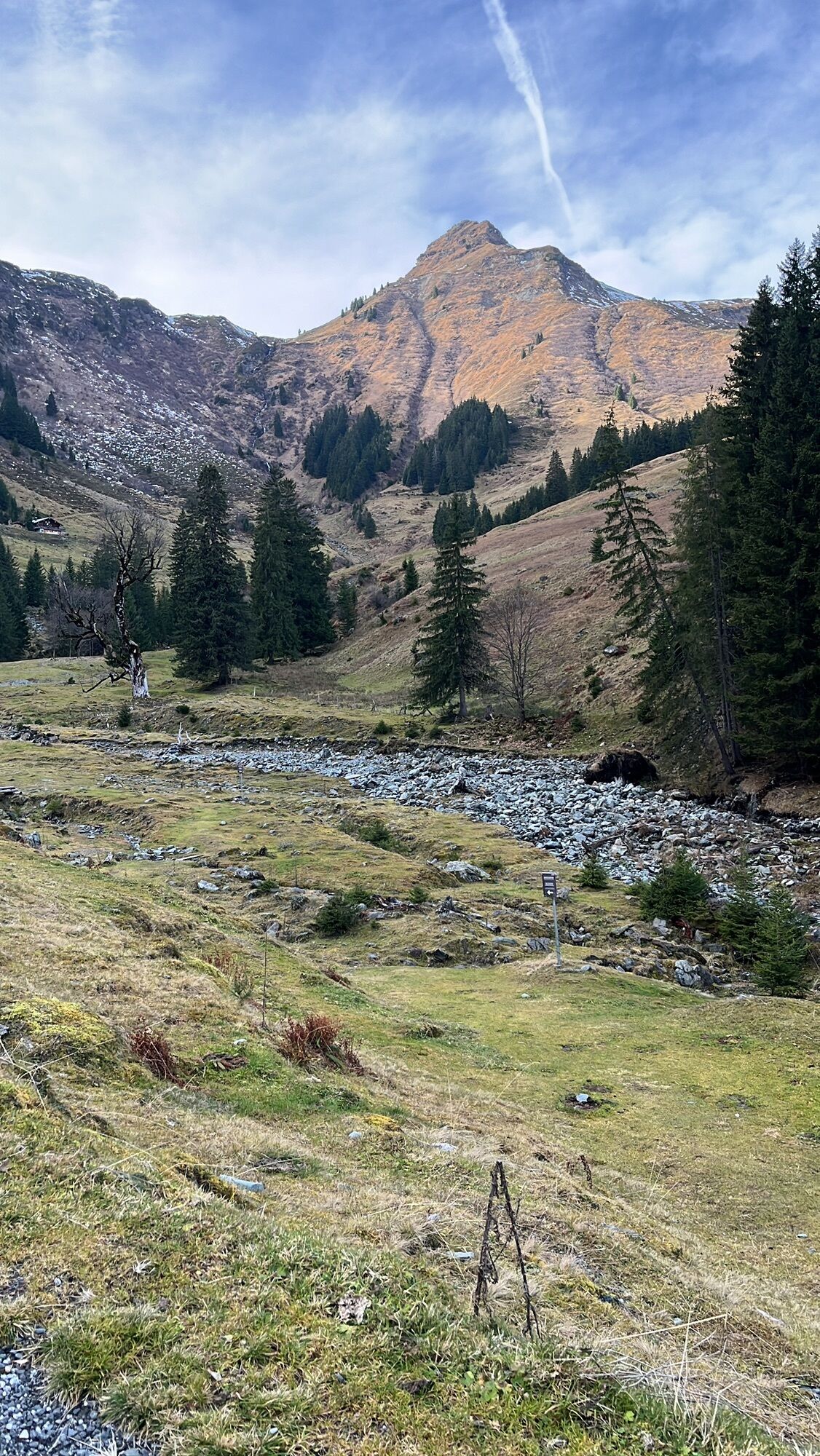
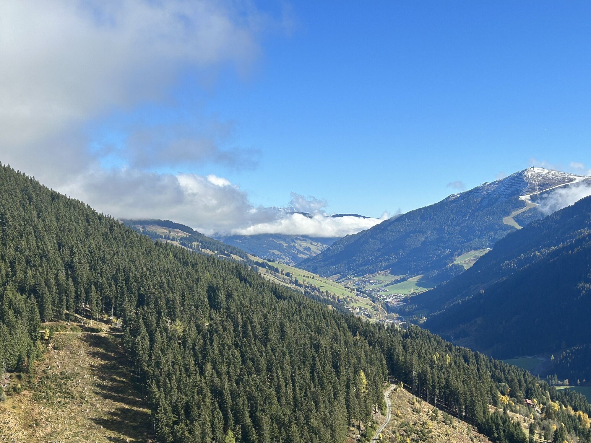
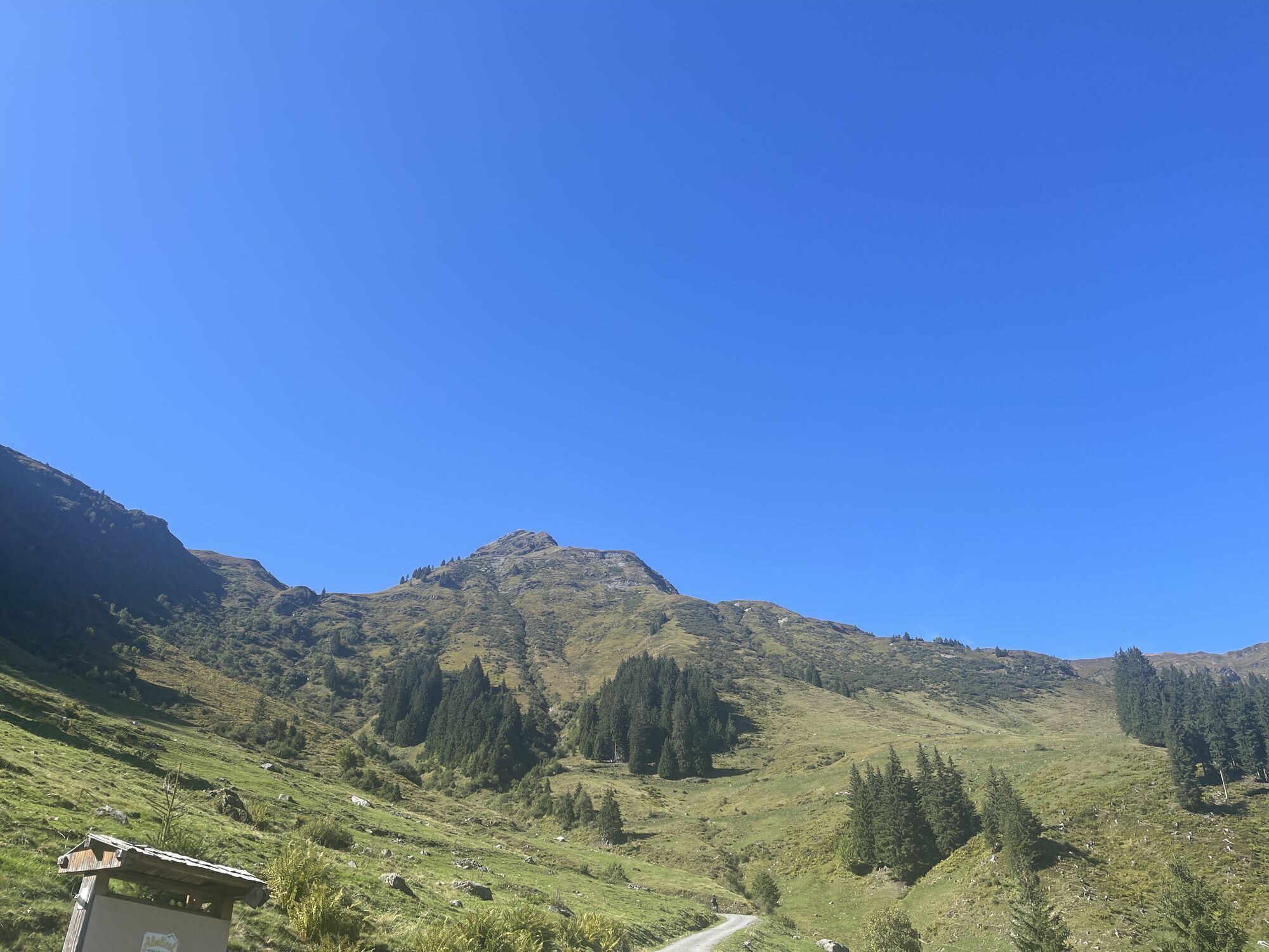
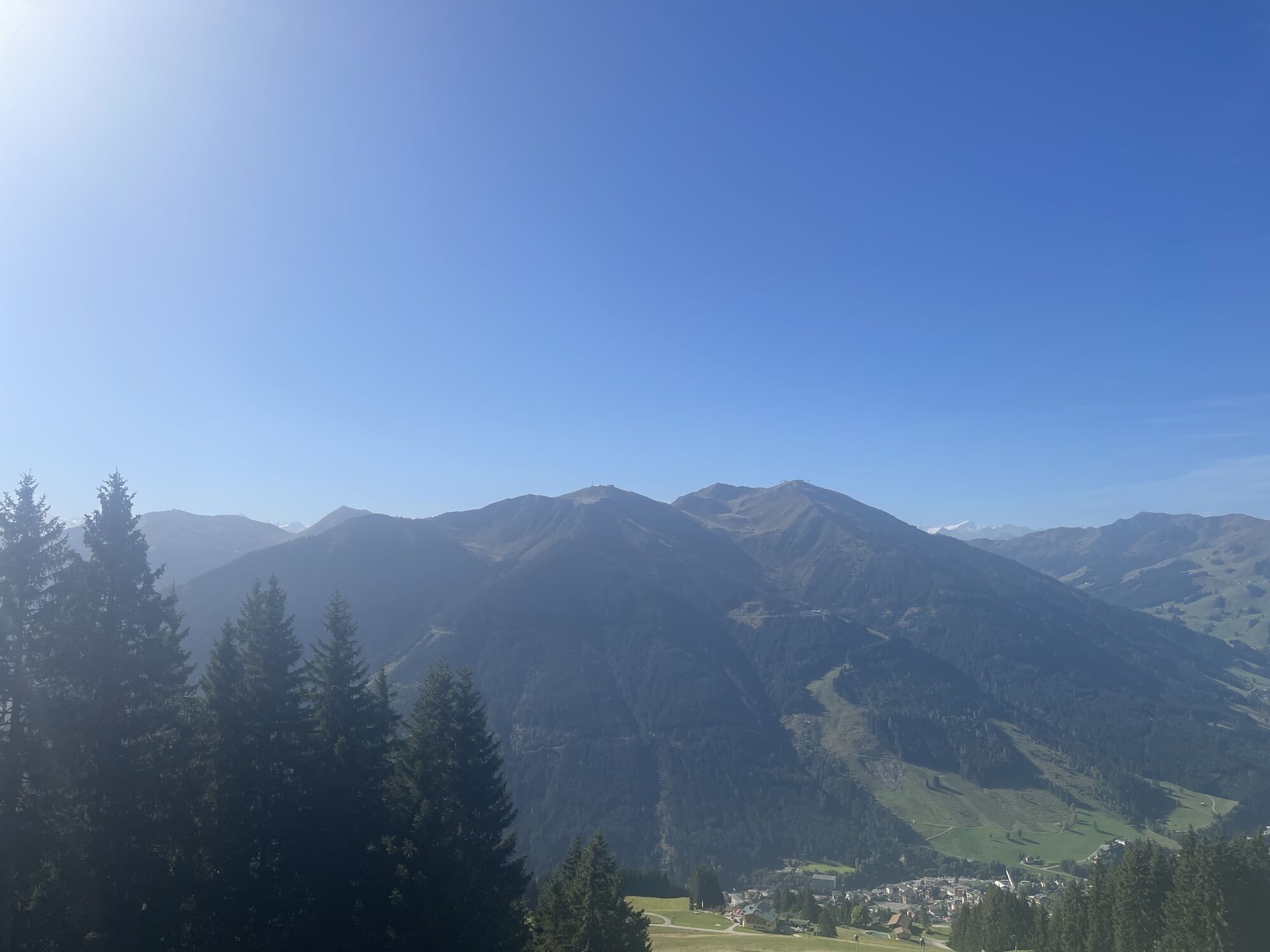
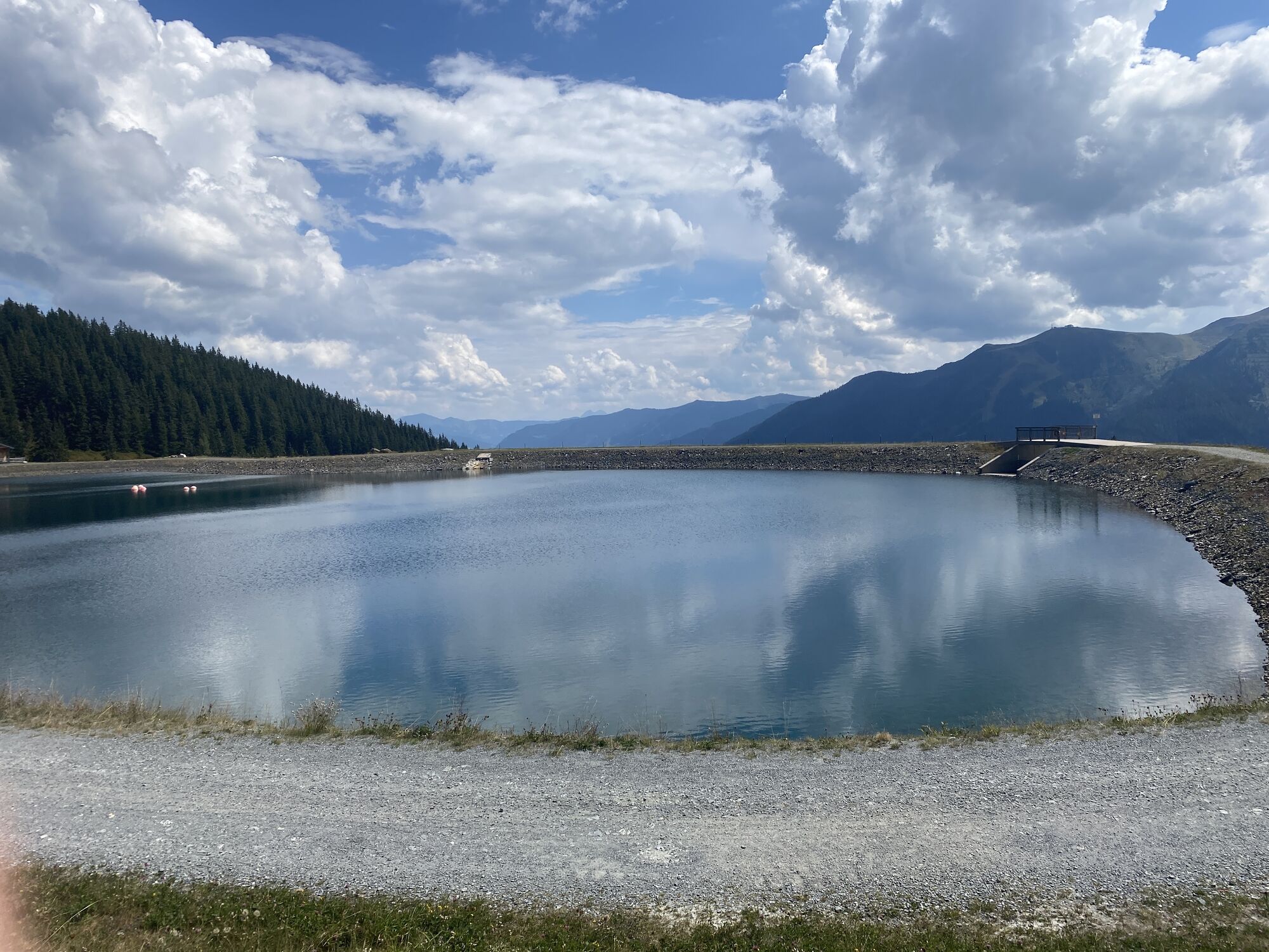
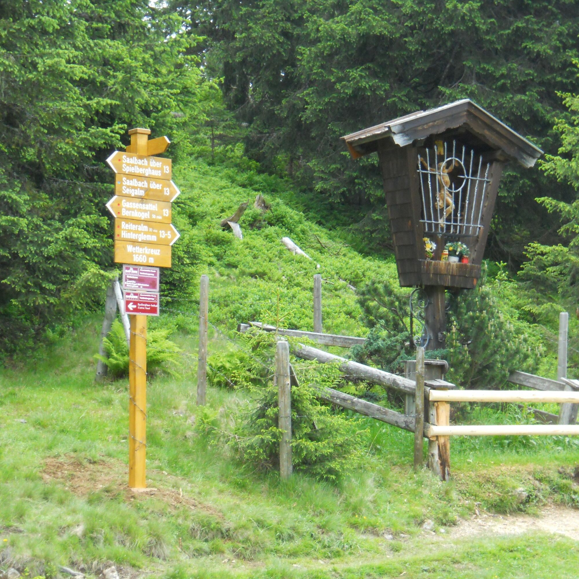
Now the trail becomes relatively steep up to the Amsel and on to the Wetterkreuz and from the reservoir in 20 min to the Reiteralm.
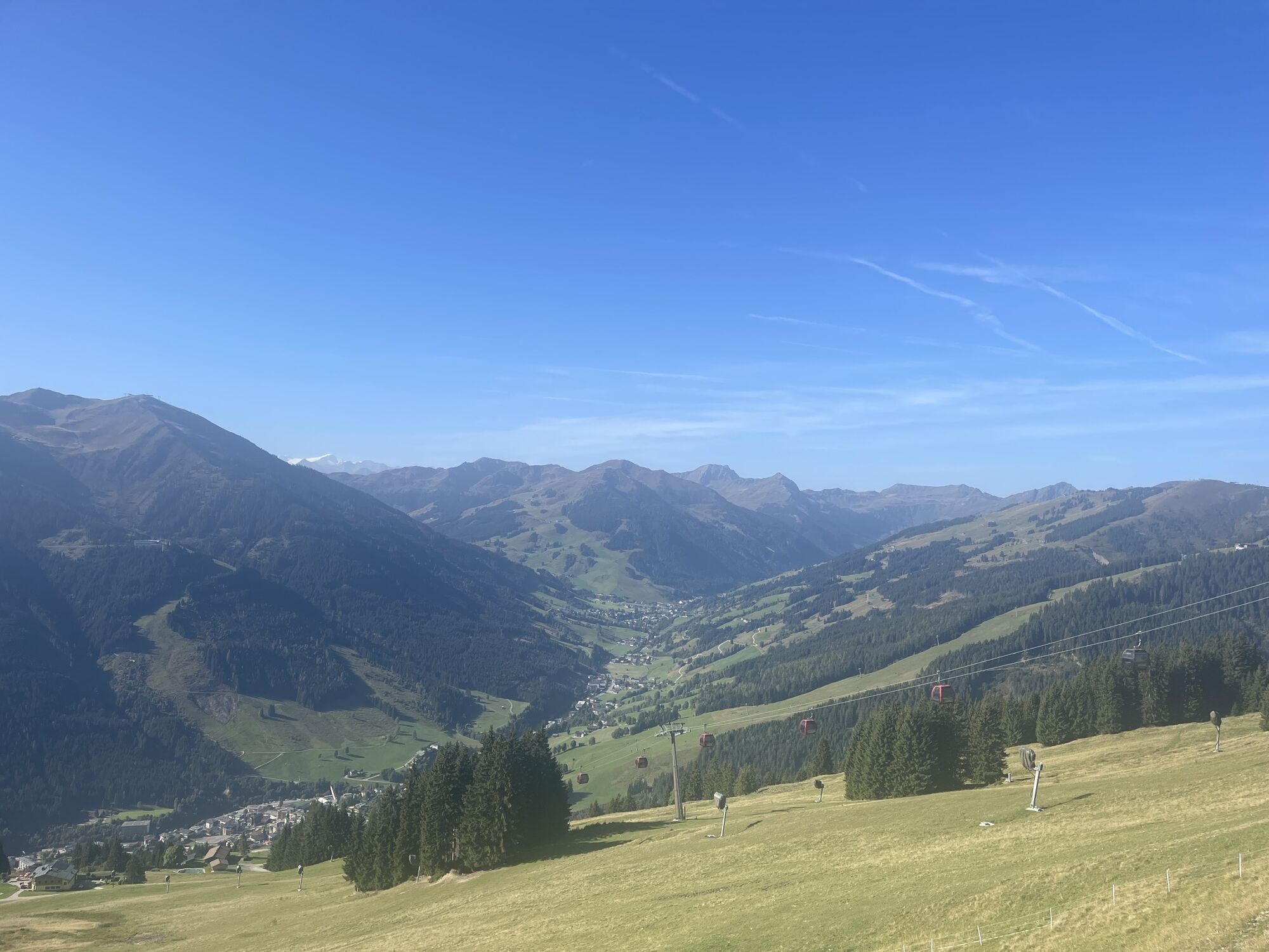
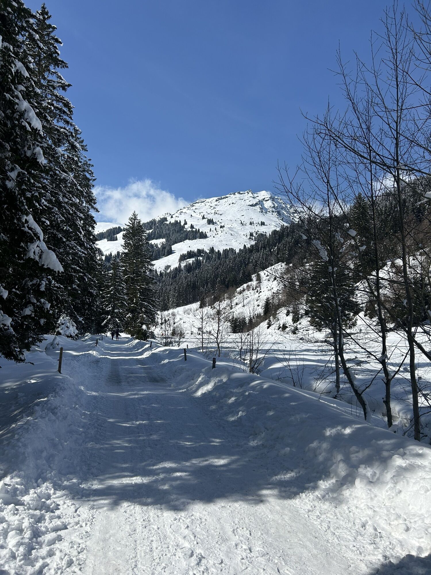
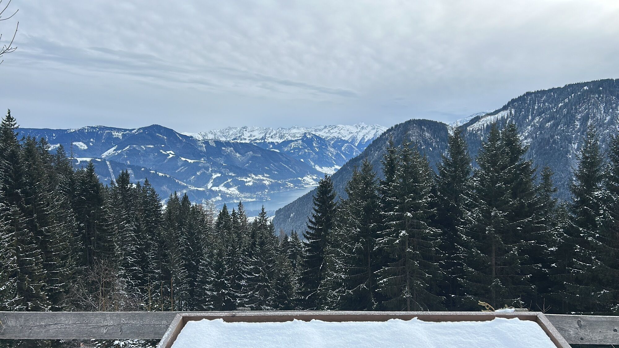
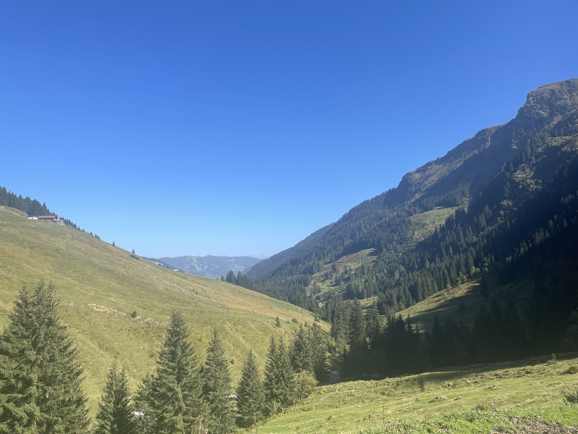
Leisurely past the Alpine Flowers and Medicinal Herbs Trail to the Reiterkogelbahn with the adjacent Wieseralm.
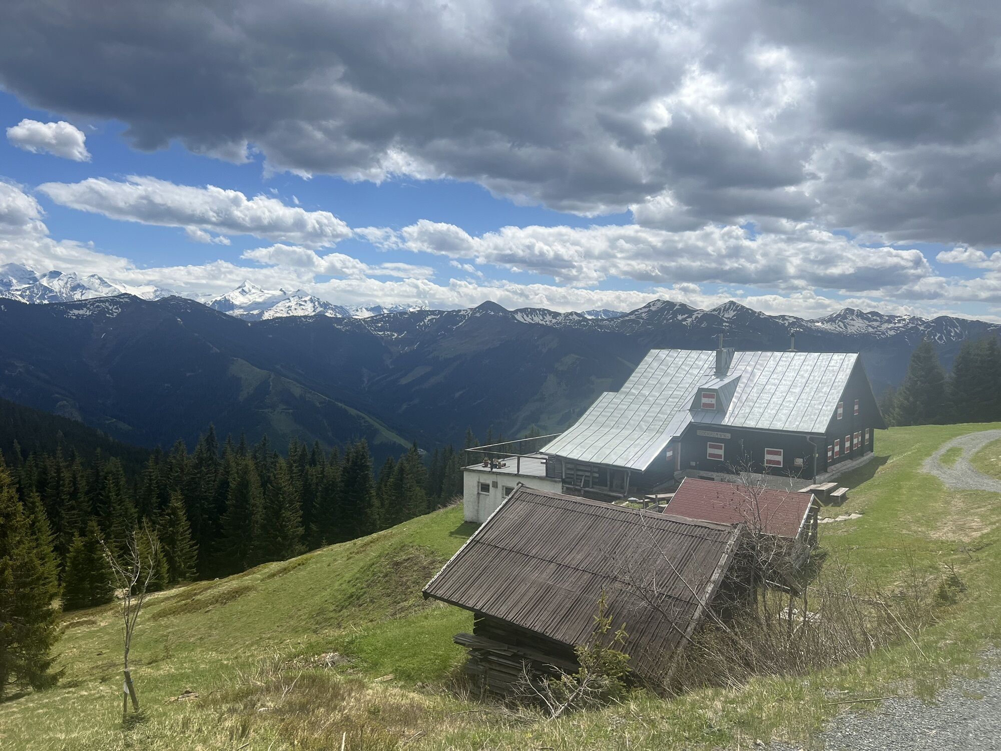
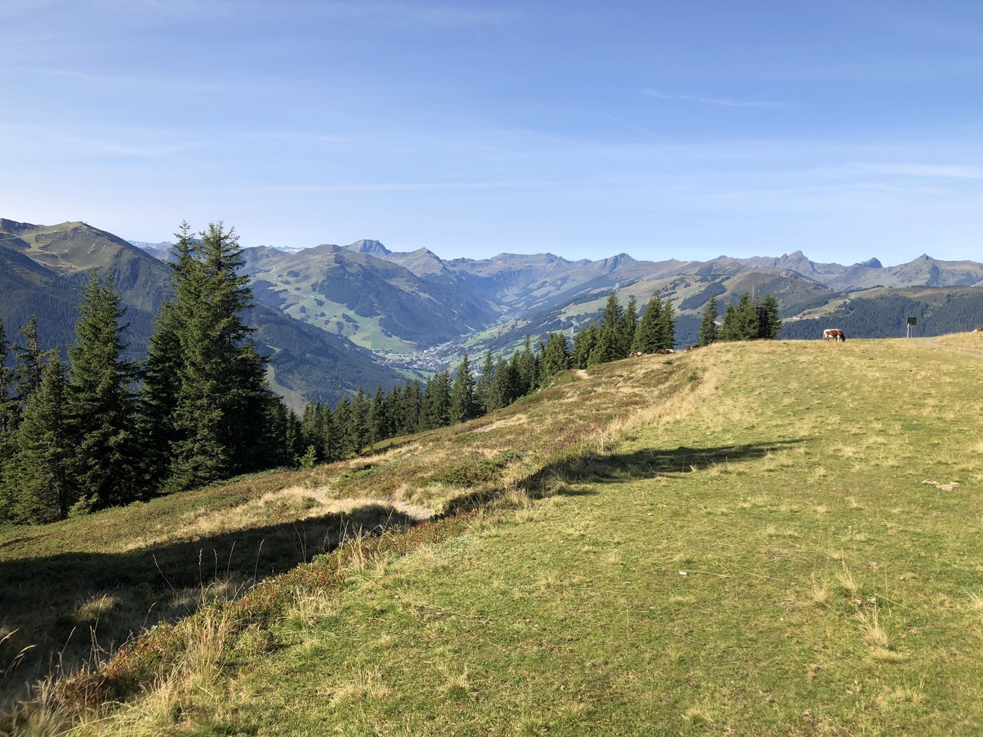
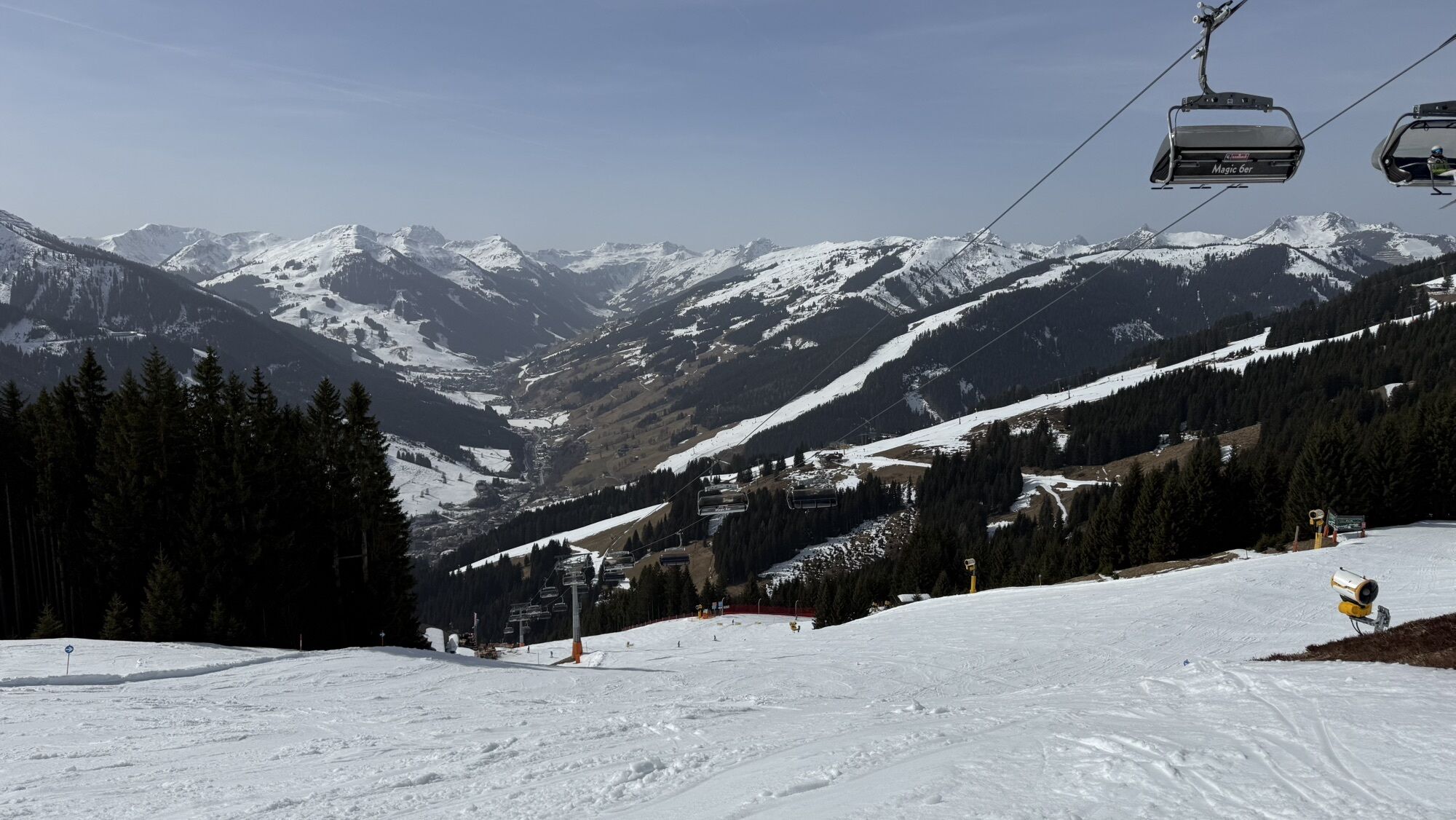
20 minutes after the Reiterkogelbahn you reach the Rosswaldhütte and half an hour later the Sonnhof.
Now a new part of the 11 hut trail begins:
In order to avoid having to hike down to the main road, first walk to the Walleggalm, which is not open in summer, then to the Spieleckalm (not open) and
pass above the hut through the ditch to the Lengau turn-off and down to the forest road,
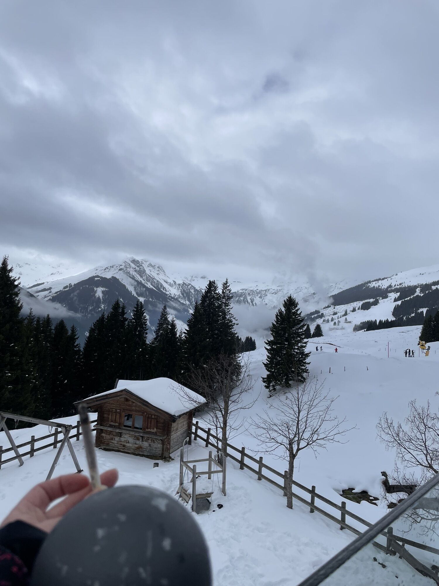
Follow the signs to Forsthofalm, then Ossmannalm and finally to Lindlingalm.
Good hiking shoes, rain & sun protection.
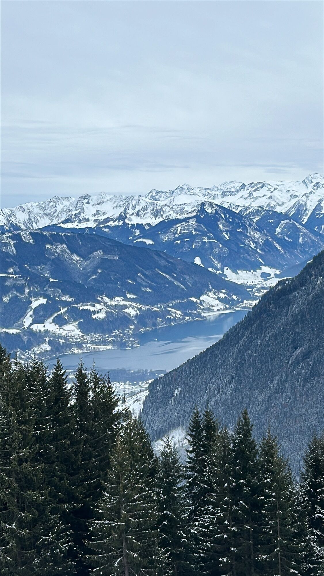
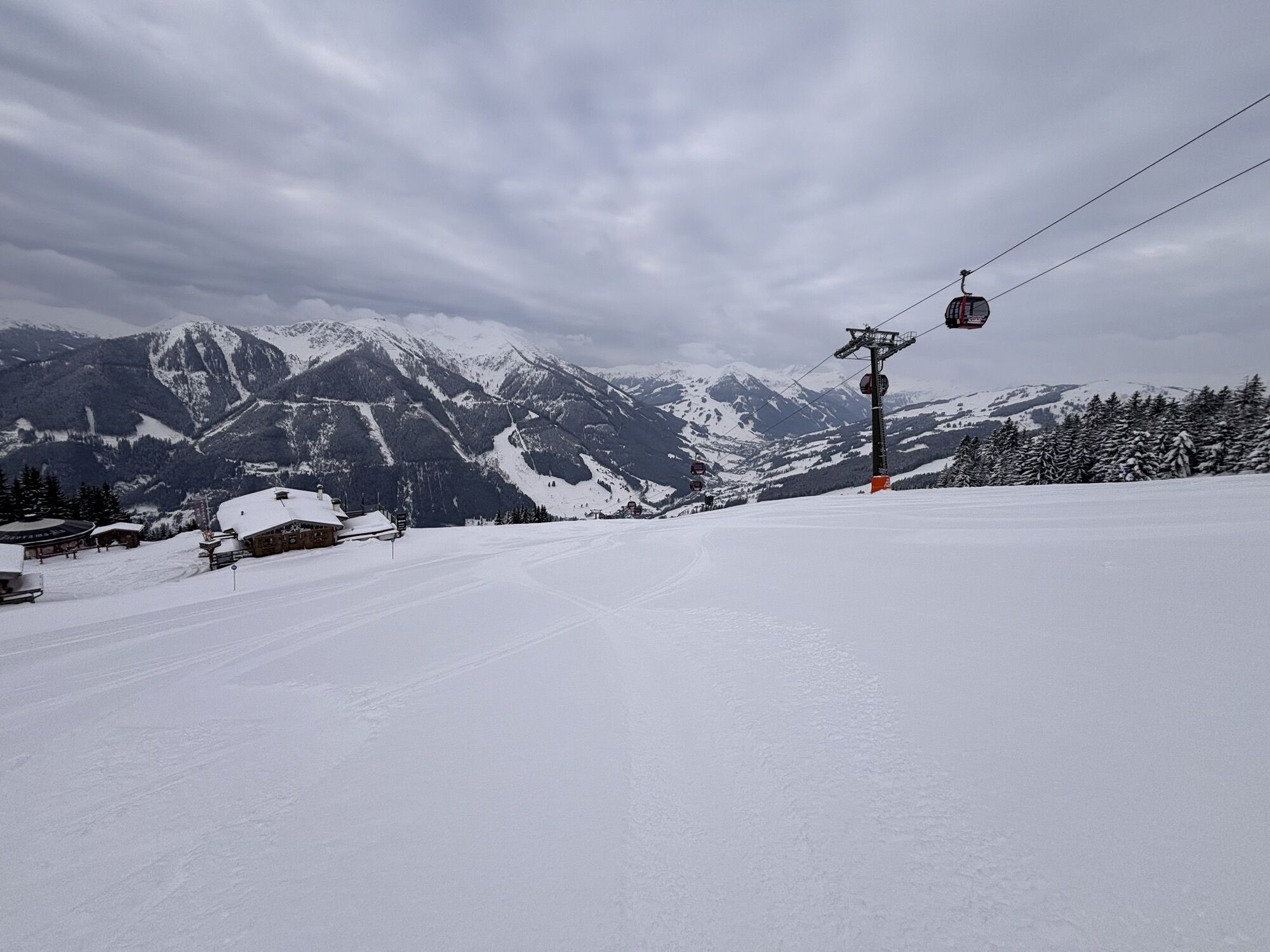
Tired hikers can descent either with the Kohlmais gondola in Saalbach or the Reiterkogel gondola in Hinterglemm.
Webcams del recorrido
-
Schattberg - West
-
Asitz Gipfel
-
Berghotel Seidl-Alm
-
Schattberg Westgipfel
-
Hinterglemm Dorf
-
Kohlmais Tal
-
Mitterberg bei Thumersbach
-
Zell am See / Hotel Berner
-
Reckmoos
-
Zell am See
-
Hinterglemm - Saalbach
-
Großer Asitz / Gipfelkreuz
-
Saalbach-Hinterglemm - Schattberg Ost
-
Saalbach-Hinterglemm - Zwölferkogel
-
Saalbach-Hinterglemm - Wildenkarkogel
-
Saalbach - Hotel Alpinresort
-
Zwölferkogel
-
Wildenkarkogel
-
Talstation Asitzbahn
-
Maishofen Sausteige
-
Maishofen - Schloss Kammer
-
Saalbach-Hinterglemm - Kohlmais
-
Kohlmaiskopf
-
Leogang - Grosser Asitz
-
Maishofen Dorfplatz
-
zellamseeXpress
-
Martenhof
-
Reckmoos
-
Wohlfühlhotel-Johanneshof
-
Eberharthof - Saalbach-Hinterglemm
Rutas populares en los alrededores
-
4,2
Passauer Hütte
pesadoSenderismo 4,14 km -
4,5
Birnbachloch Leogang, Österreich
medioSenderismo 5,18 km -
4,0
Maurerkogel (Top)
Senderismo 10,5 km -
4,9
Hochsonnberg Runde
medioMountainbike 59,8 km -
4,6
Lettlkaser
medioSenderismo 4,40 km -
4,0
Montaña de los sentidos
luzSenderismo 4,39 km -
5,0
Ruta panorámica con 3 cumbres y 2 lagos
medioSenderismo 7,35 km -
5,0
Spielewanderweg de Leo
luzSendero temático 4,89 km -
4,7
Tristkogel
pesadoSenderismo 15,6 km -
4,2
Sendero de altura Saalachtaler ESTE (Asitz - Biberg)
medioSenderismo 13,1 km
Senderismo y rastreo


No se pierda las ofertas y la inspiración para sus próximas vacaciones
Su dirección de correo electrónico se ha añadido a la lista de correo.