






BIG (E)PIC
Nivel de dificultad: 2
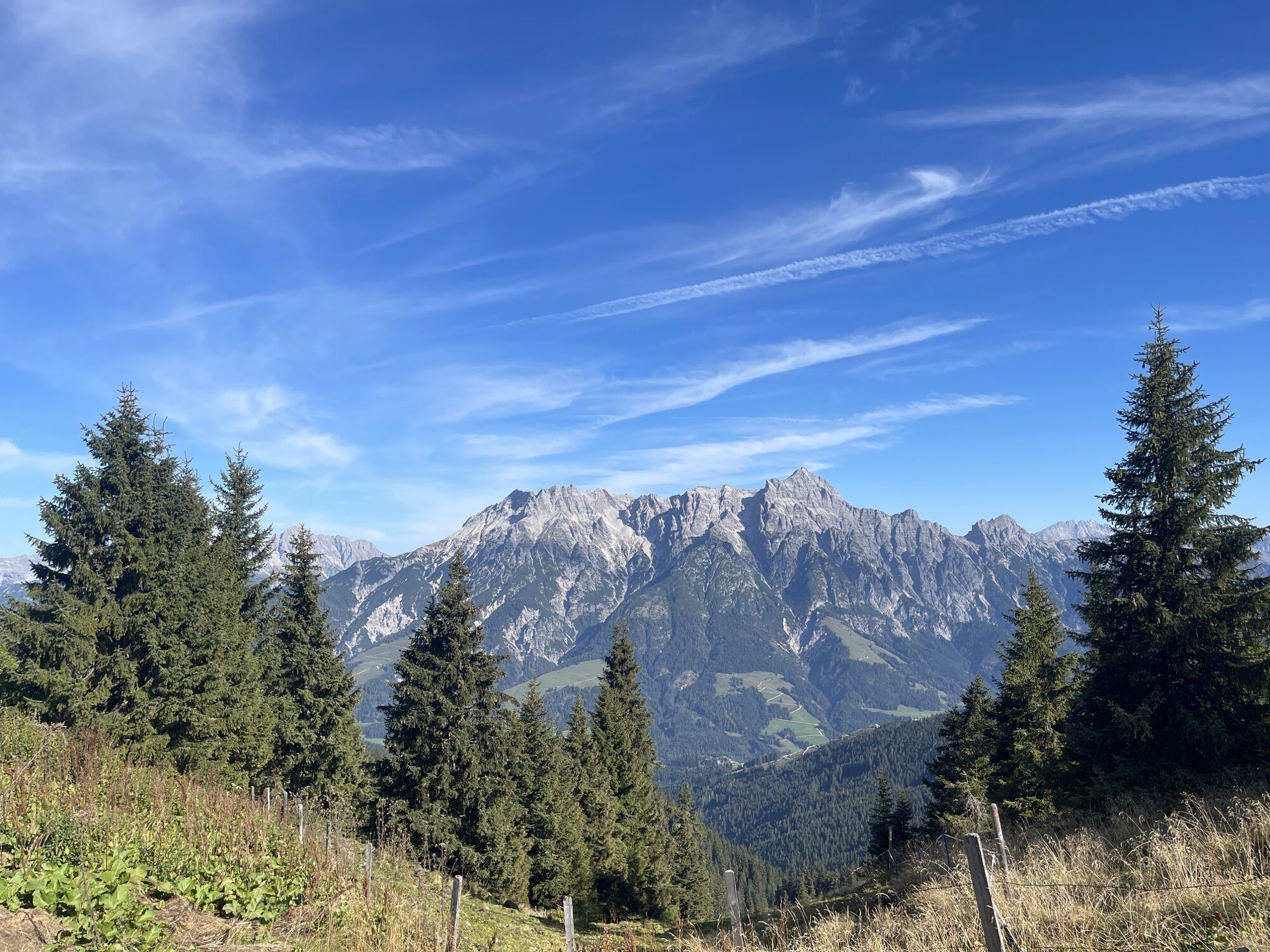
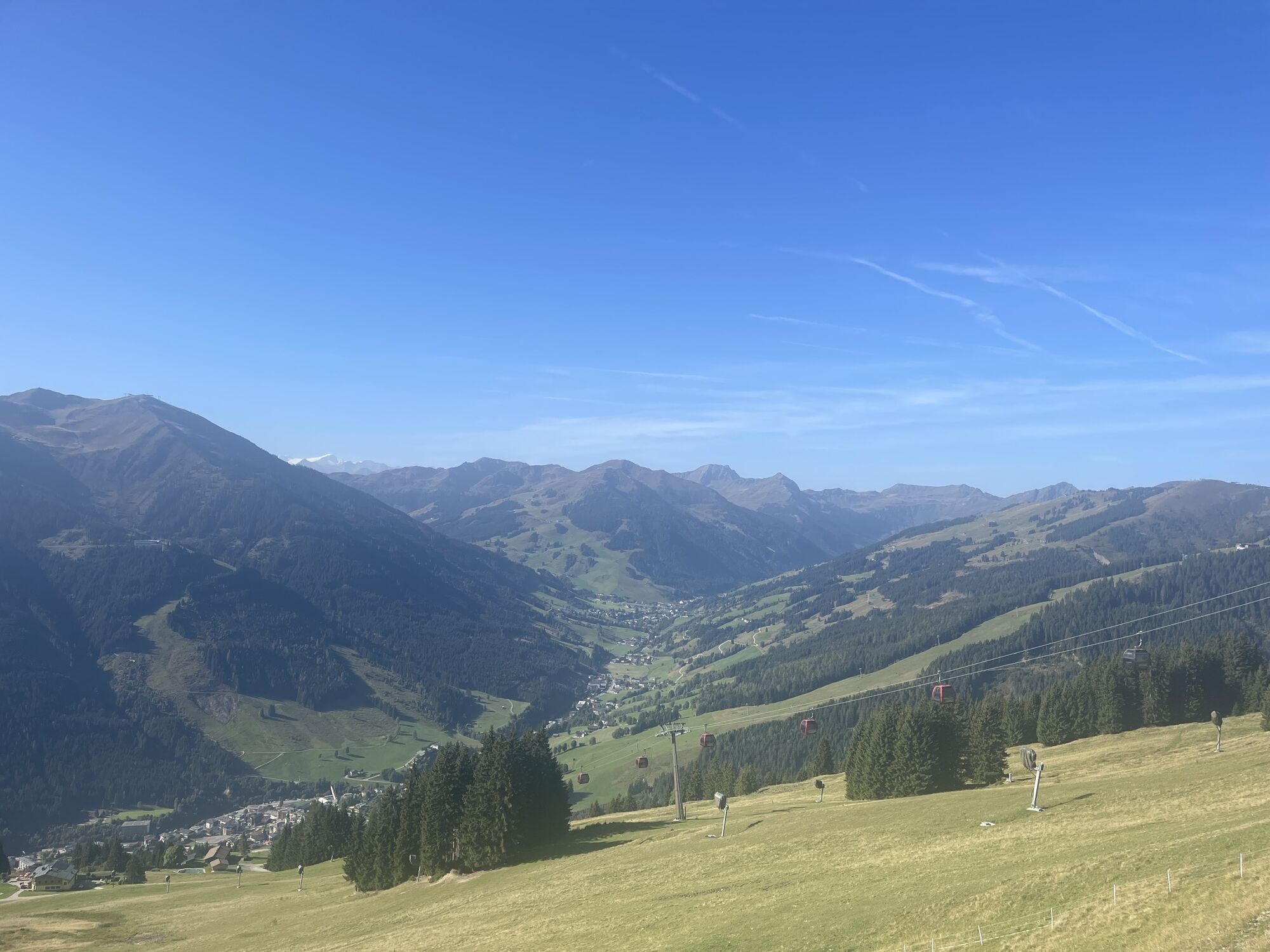
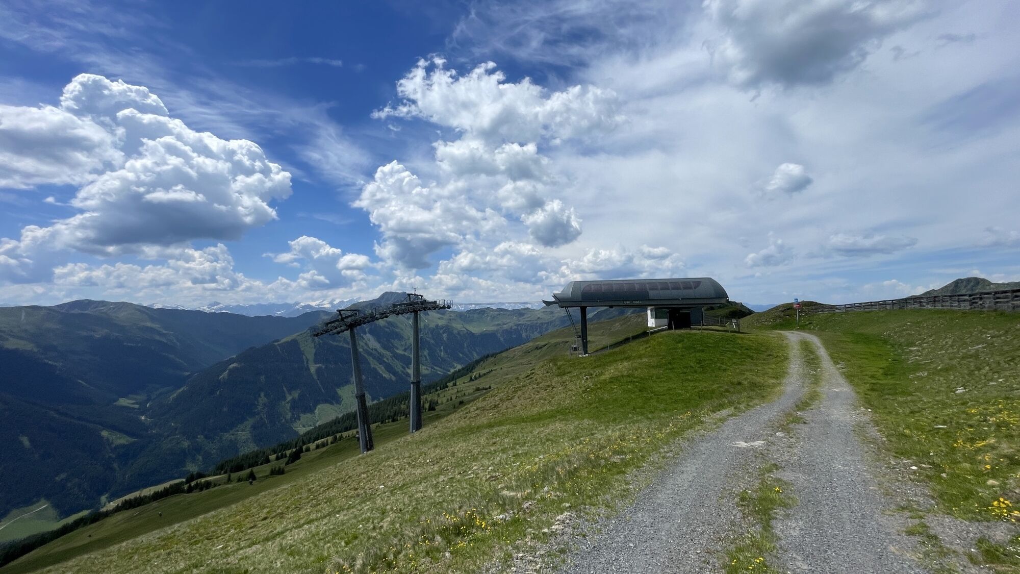
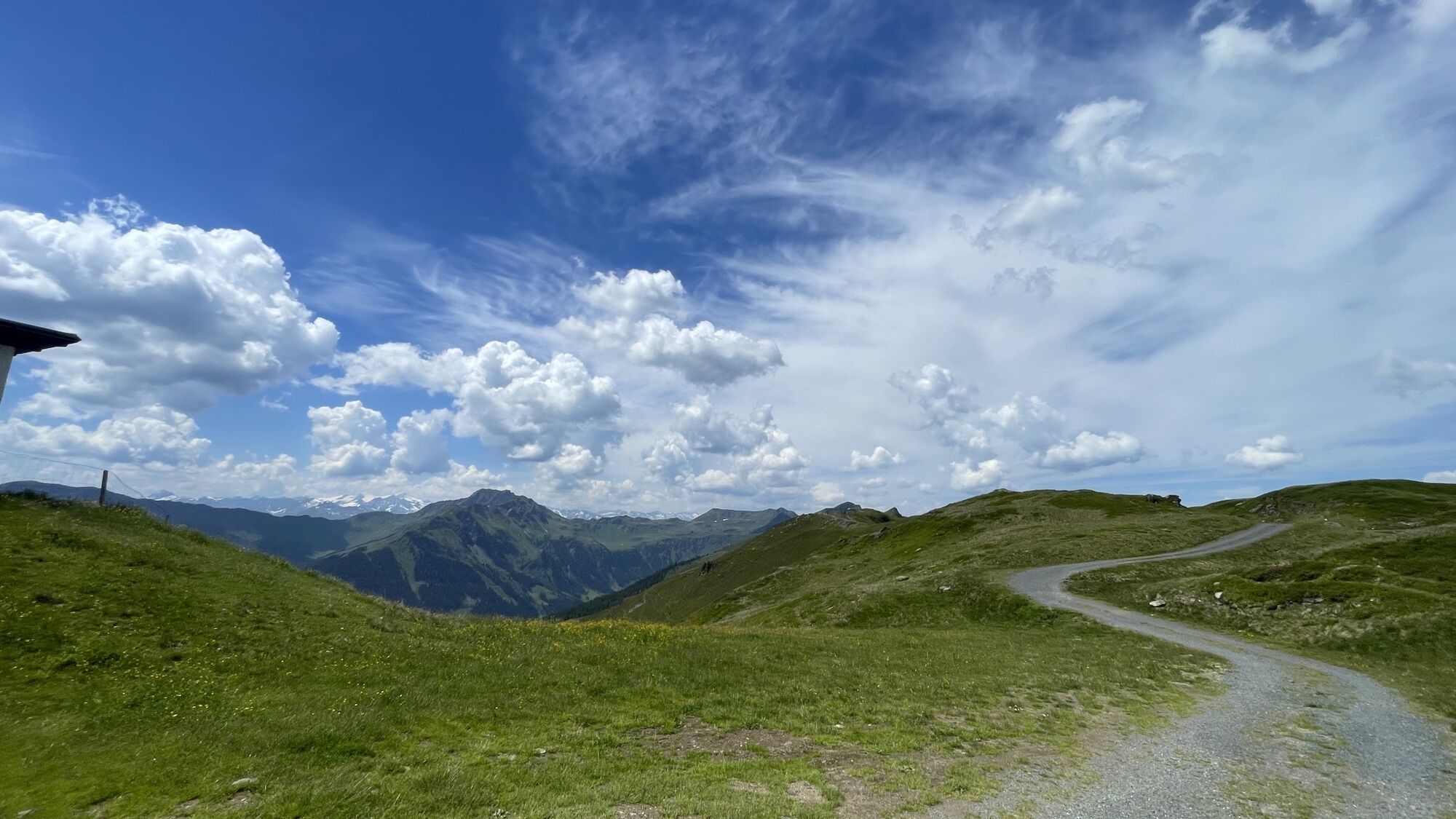
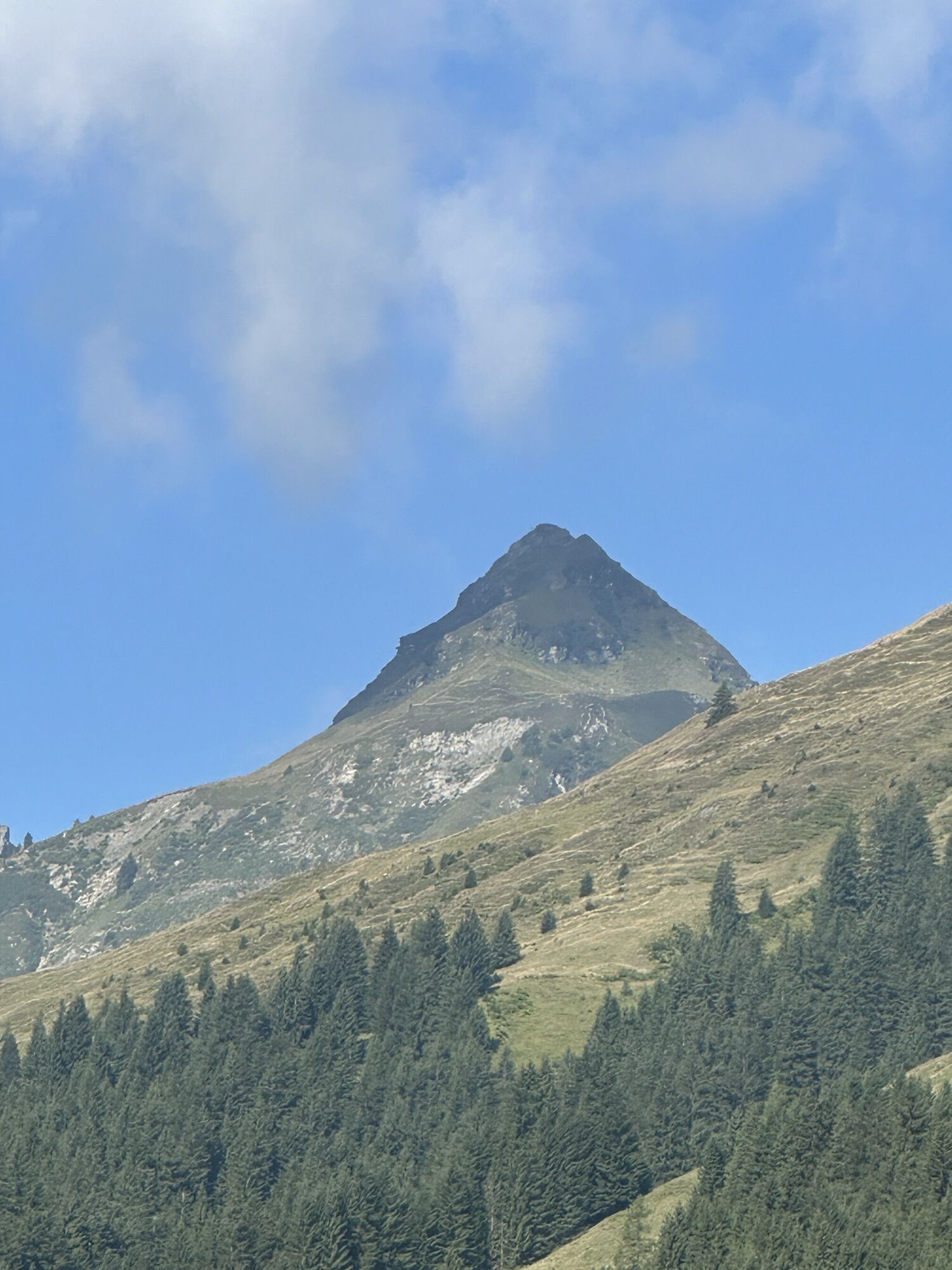
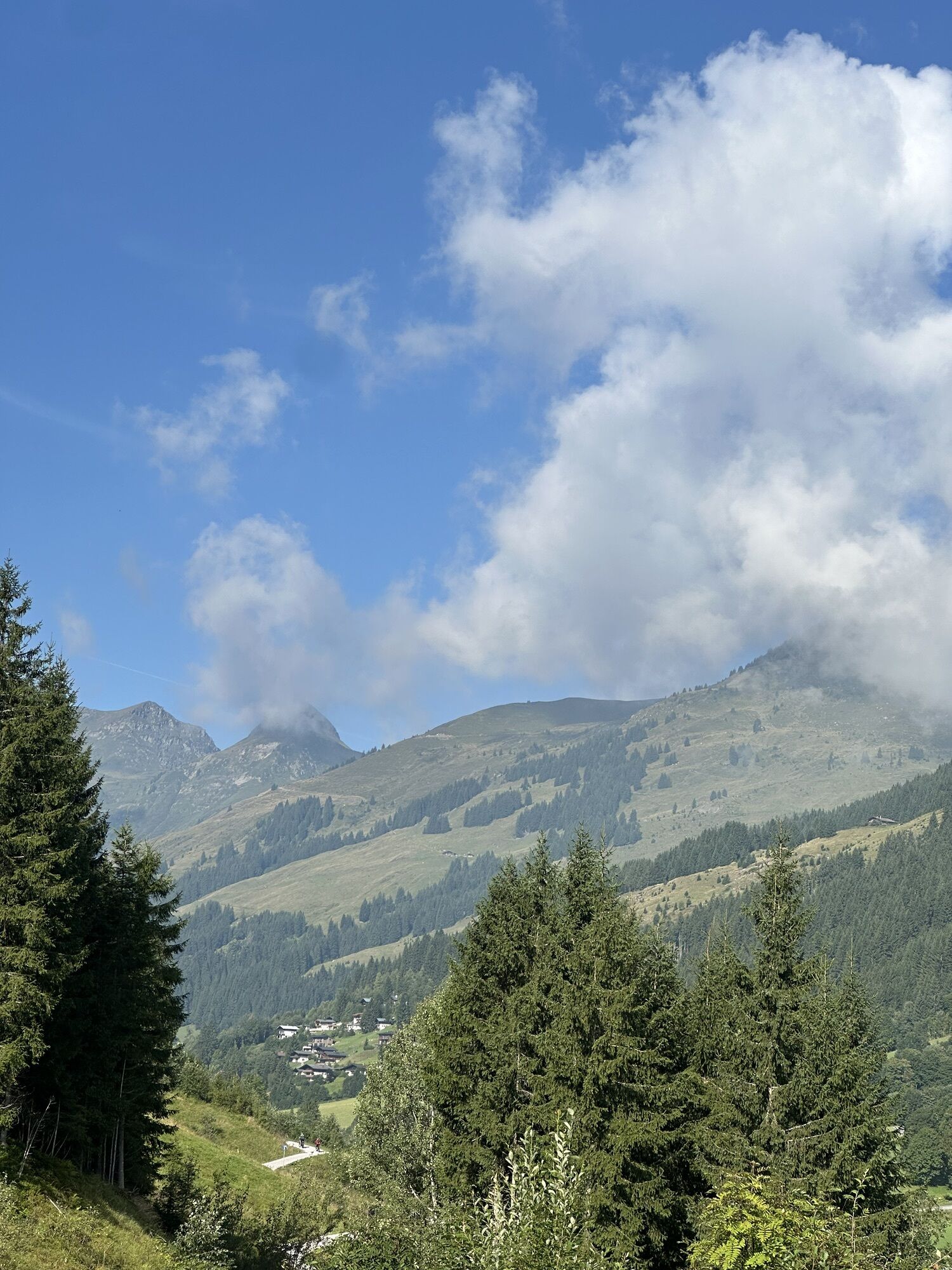
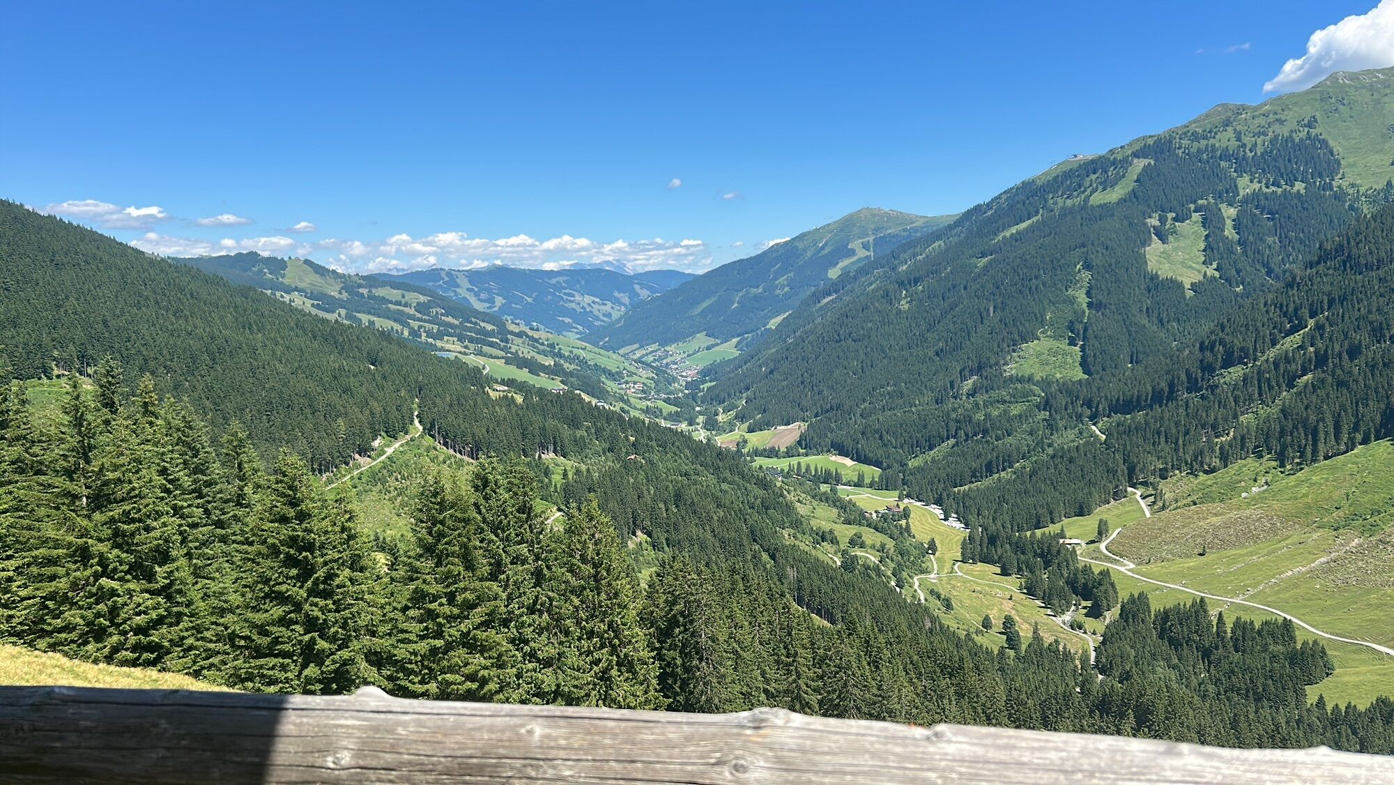
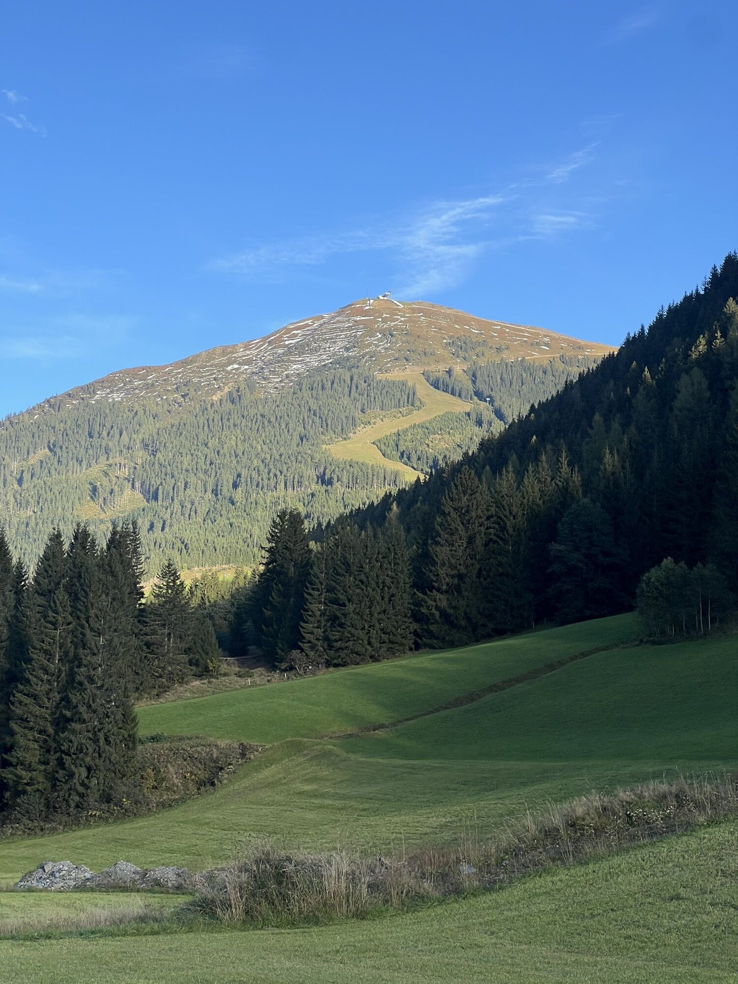
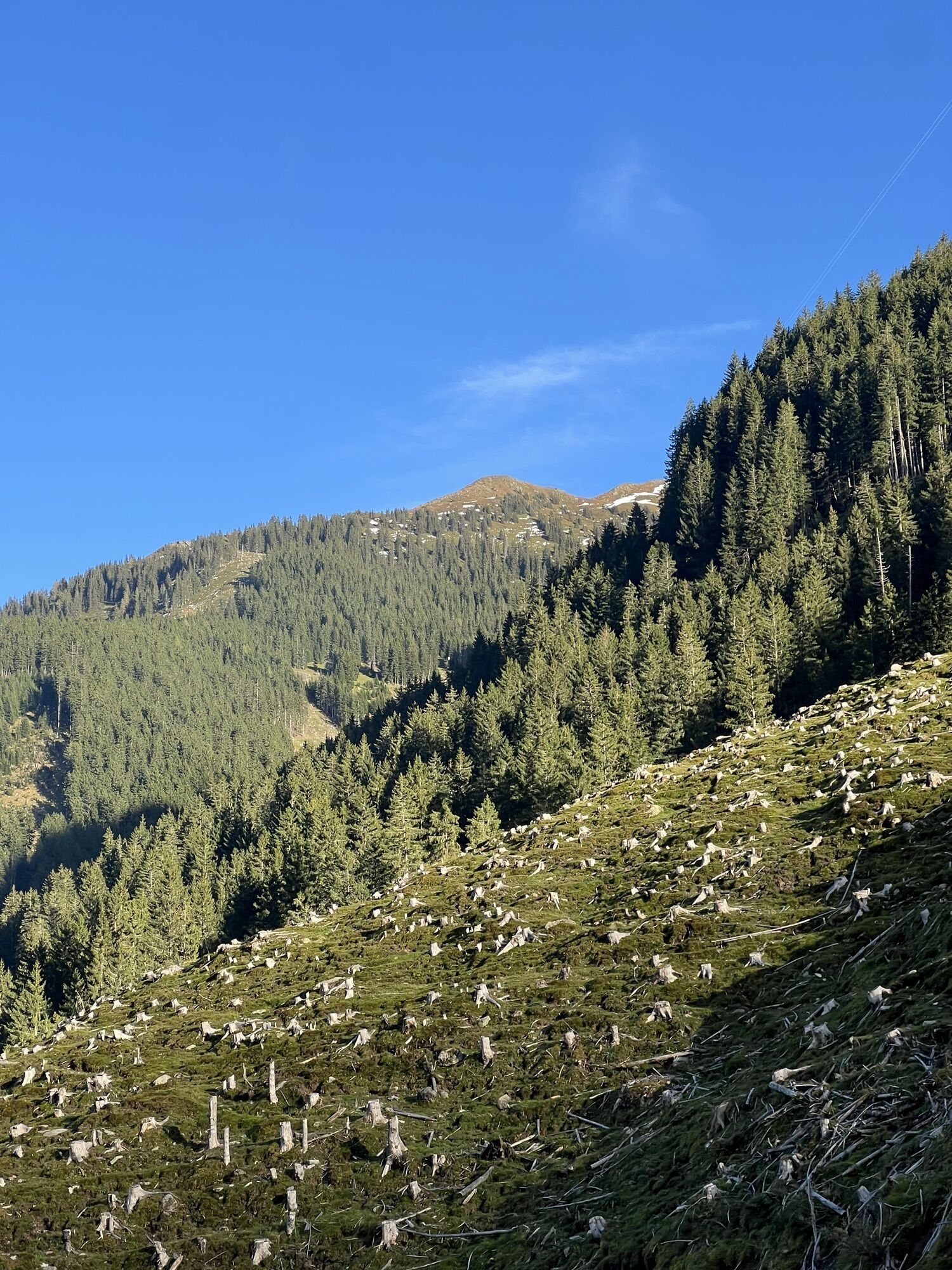
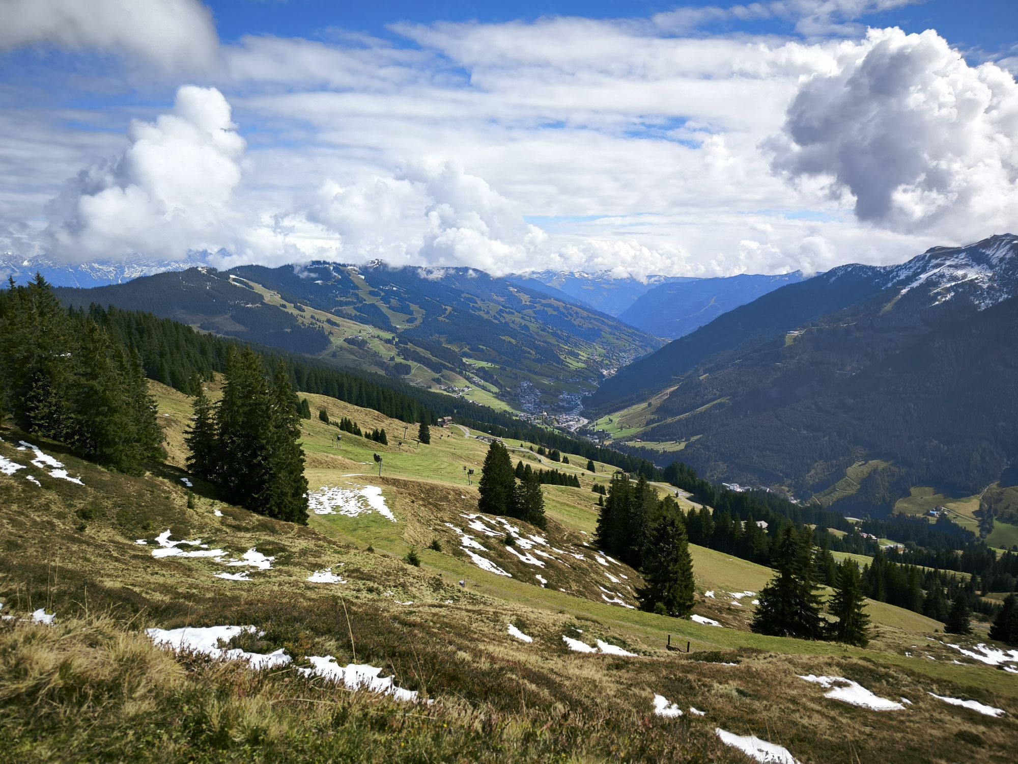
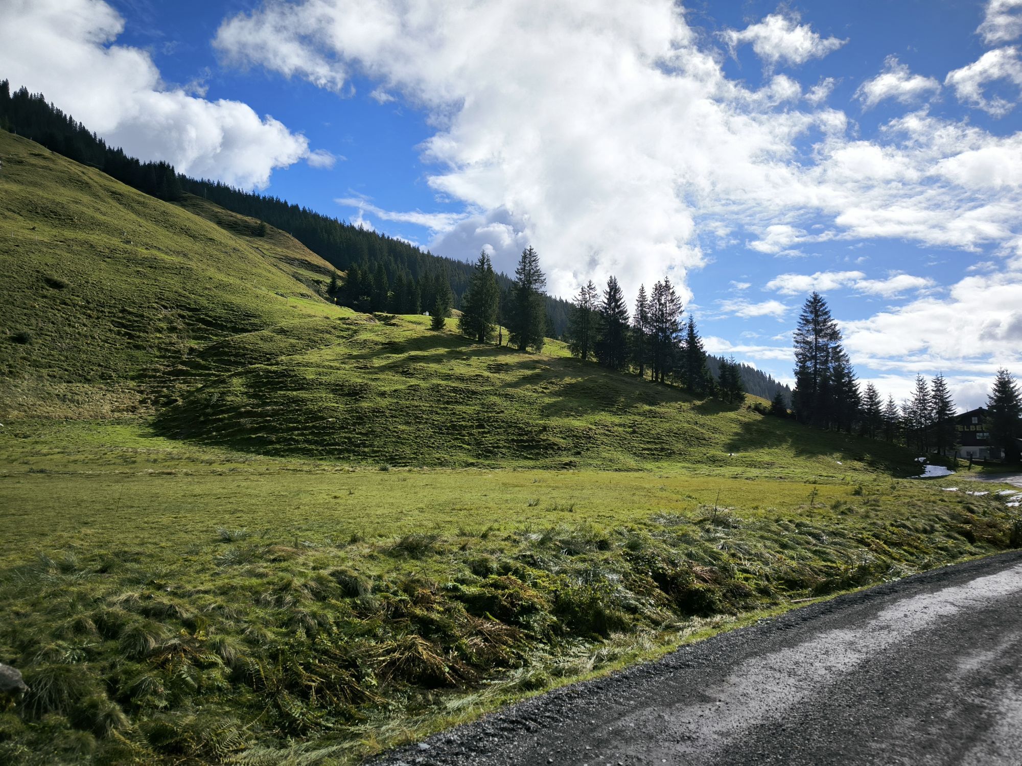
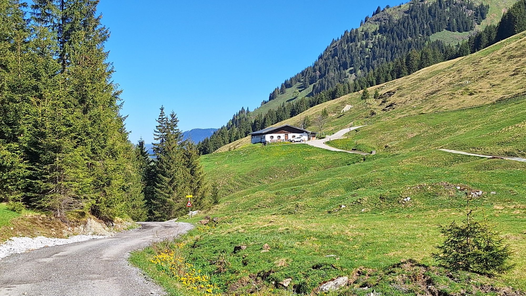
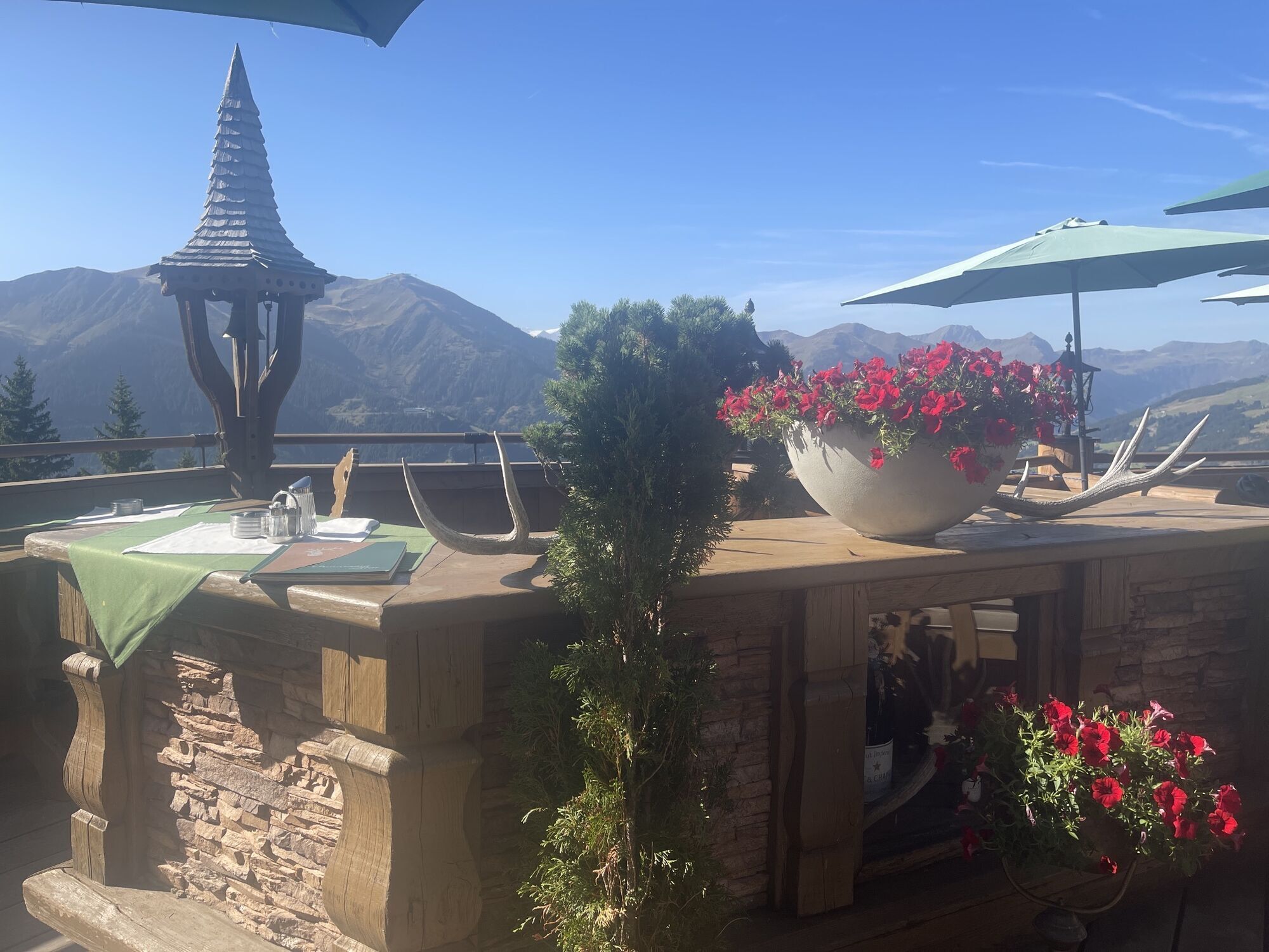
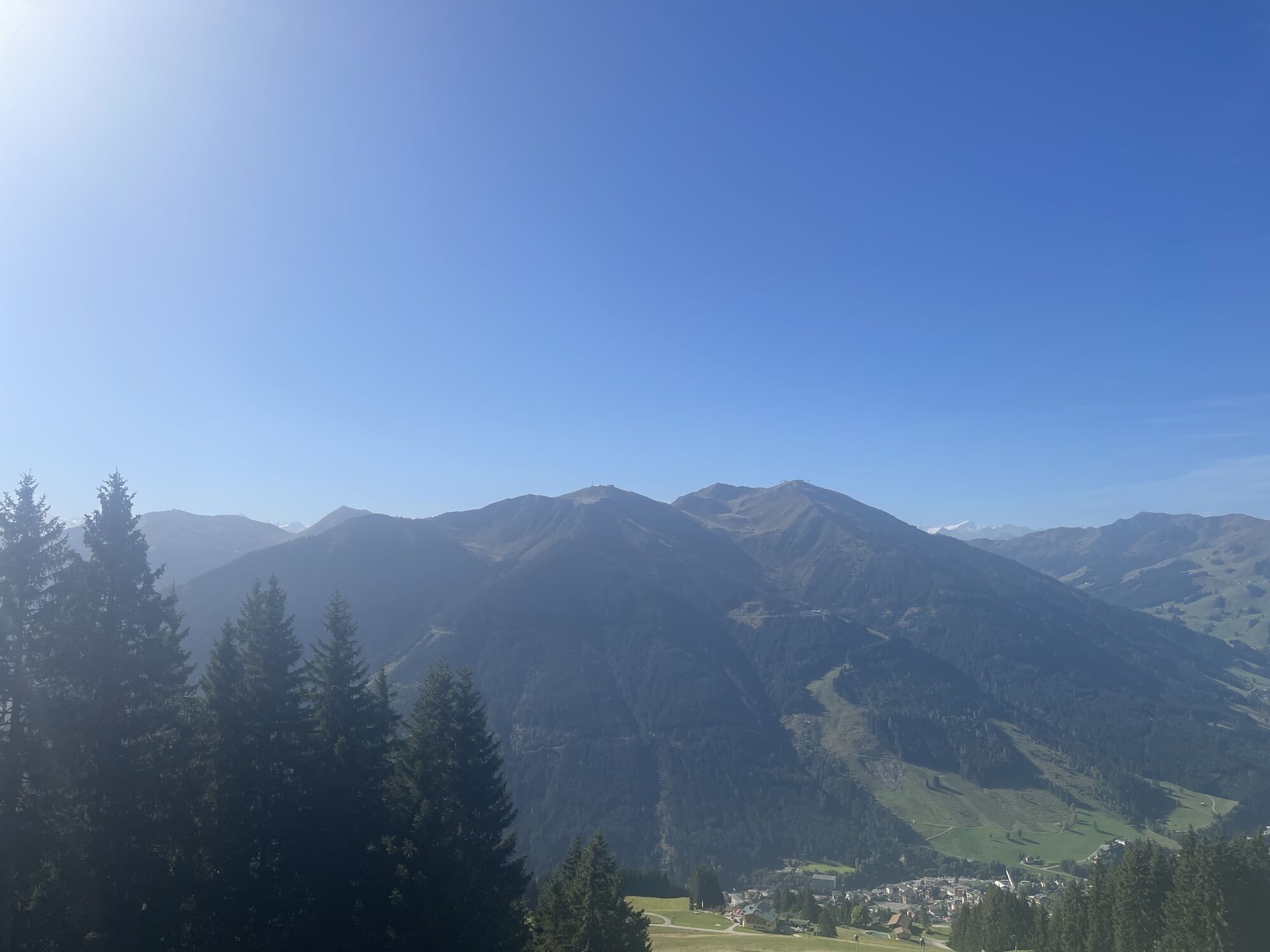
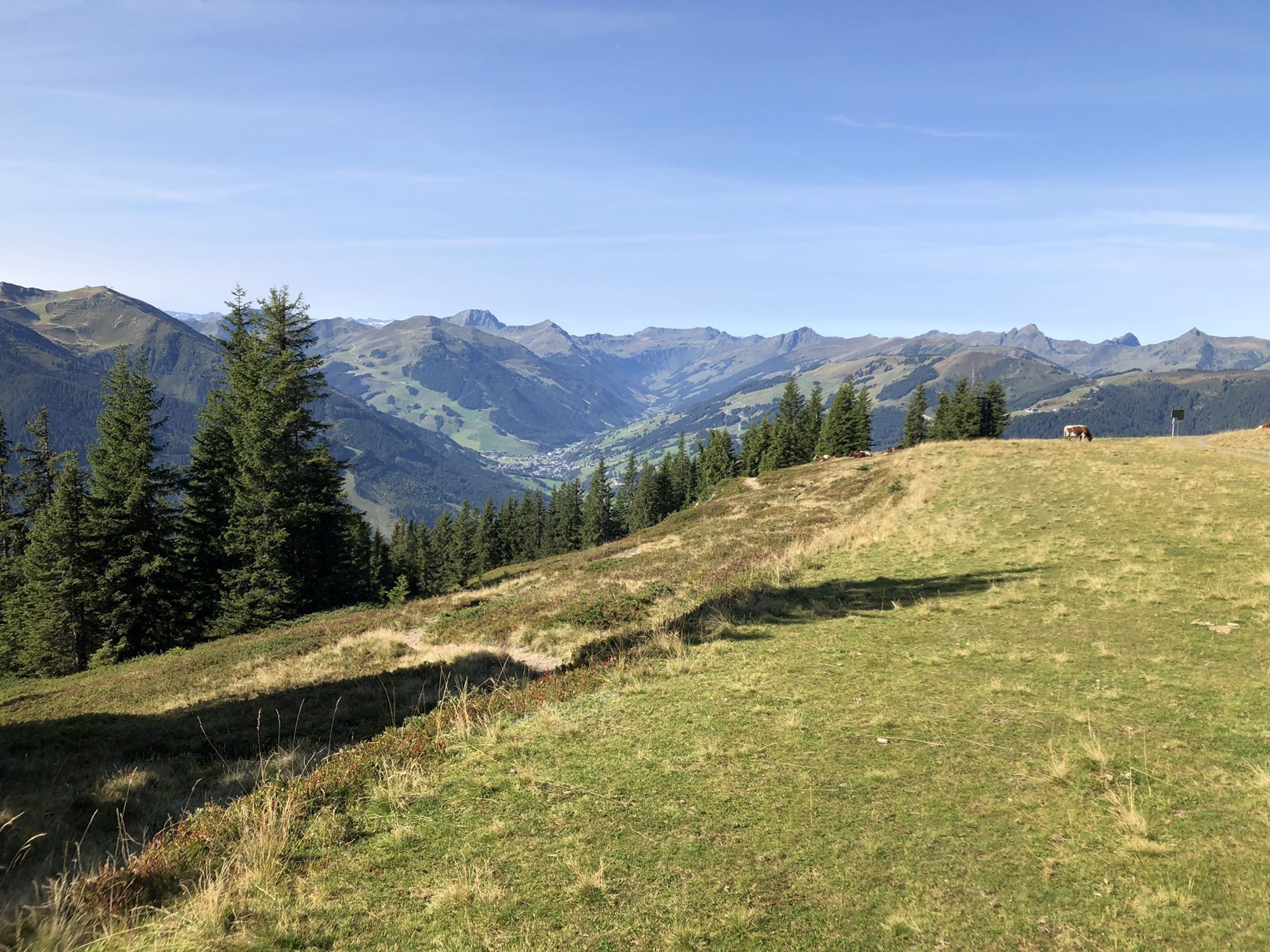
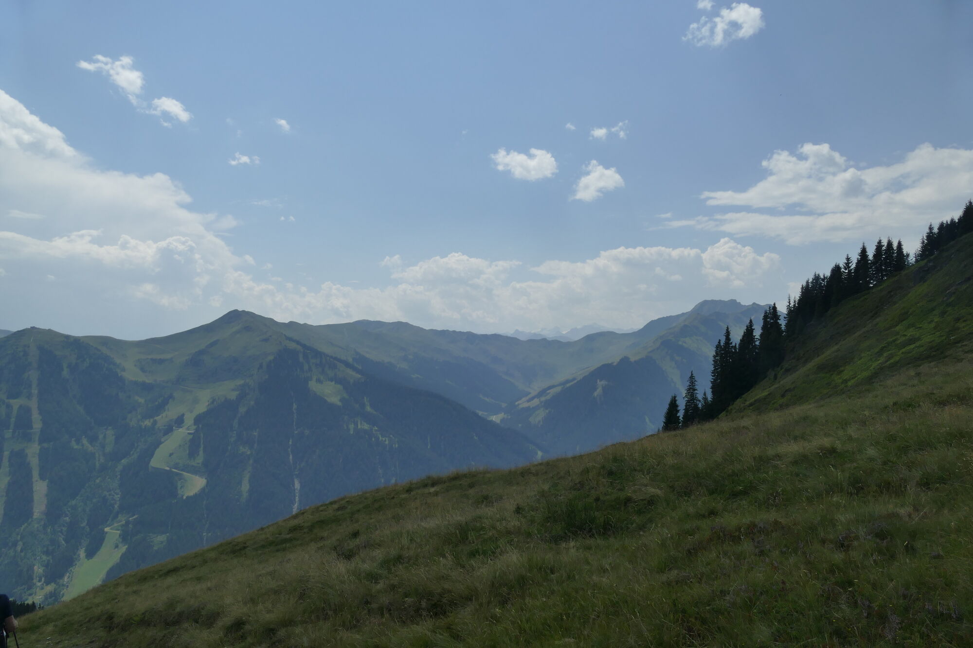
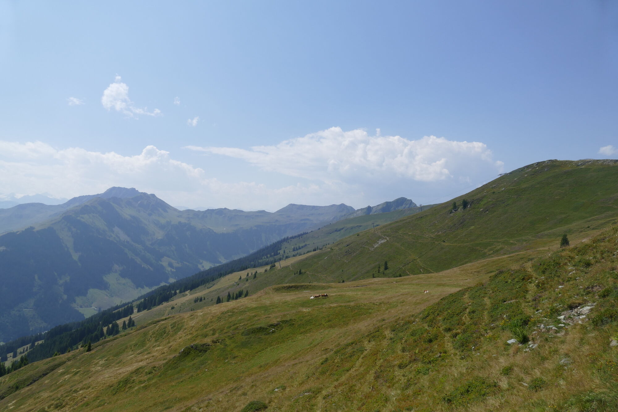
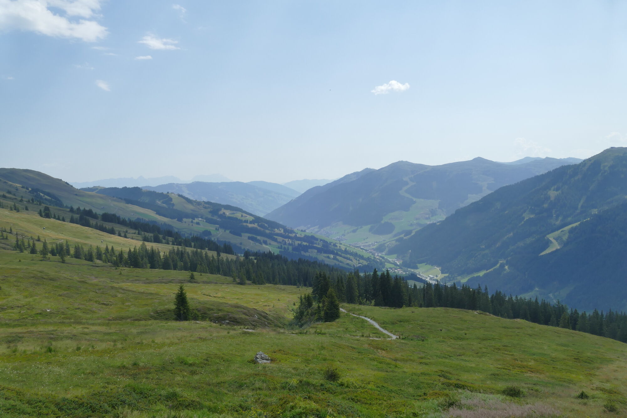
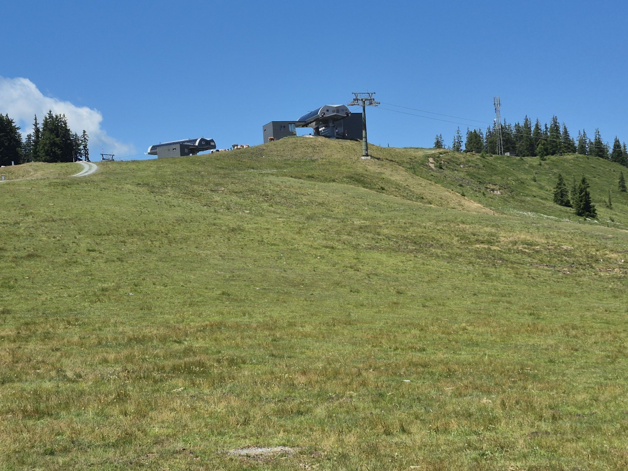
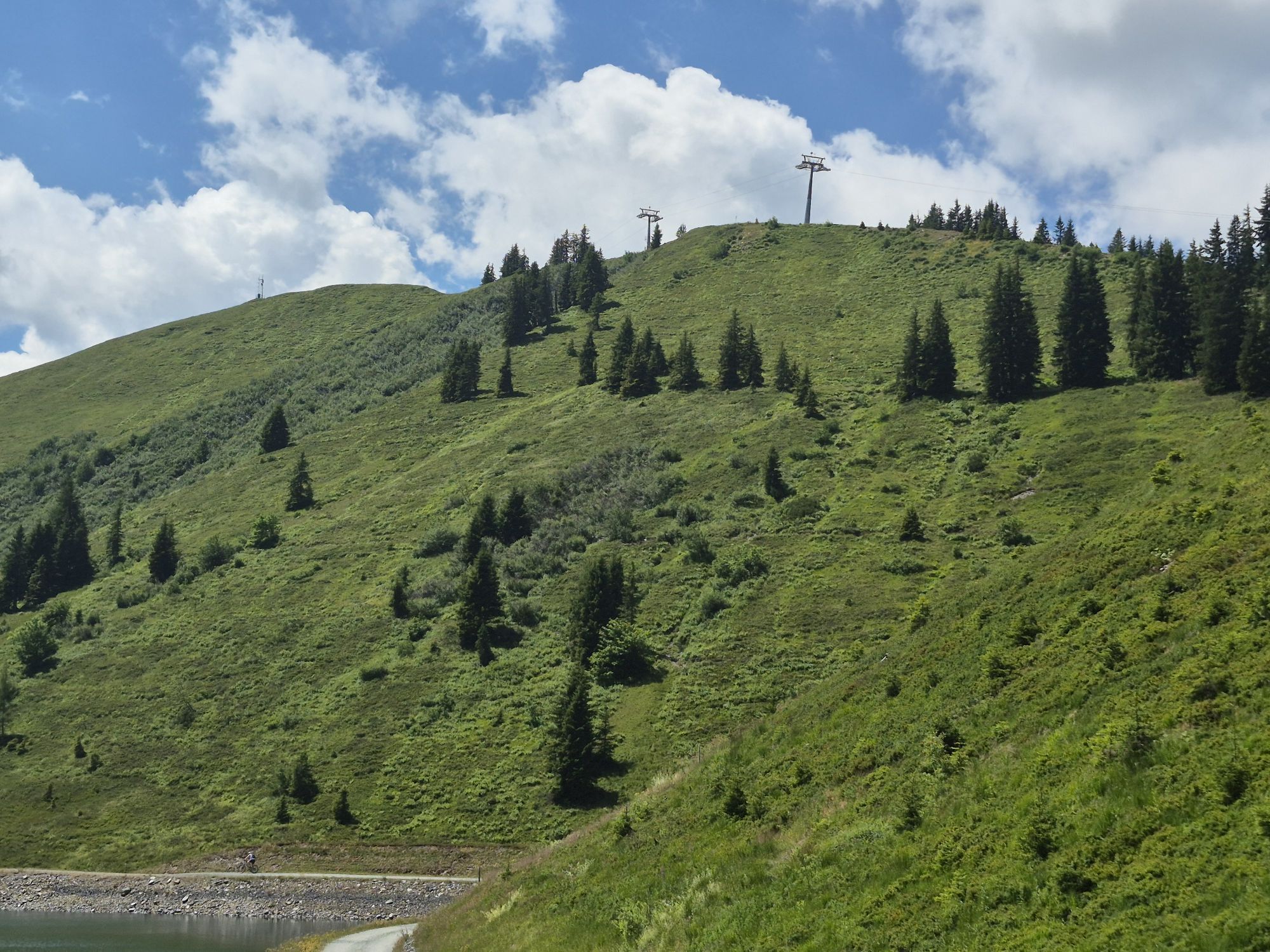
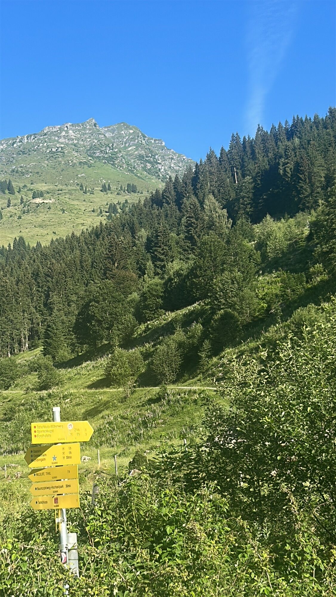
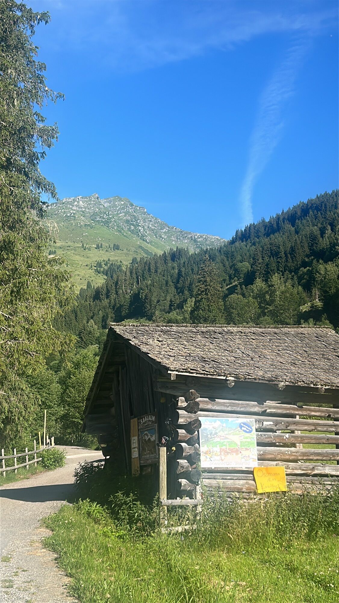
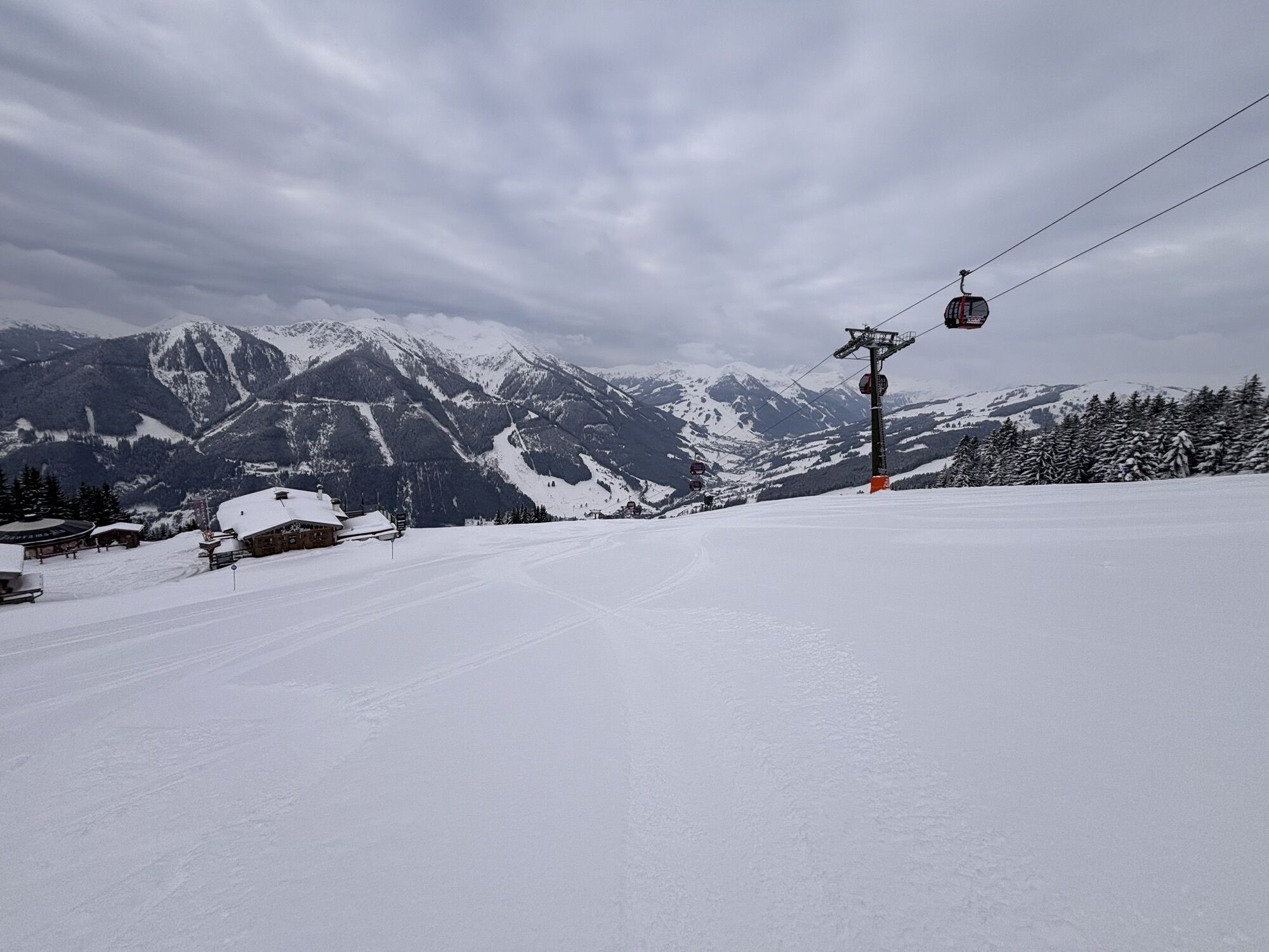
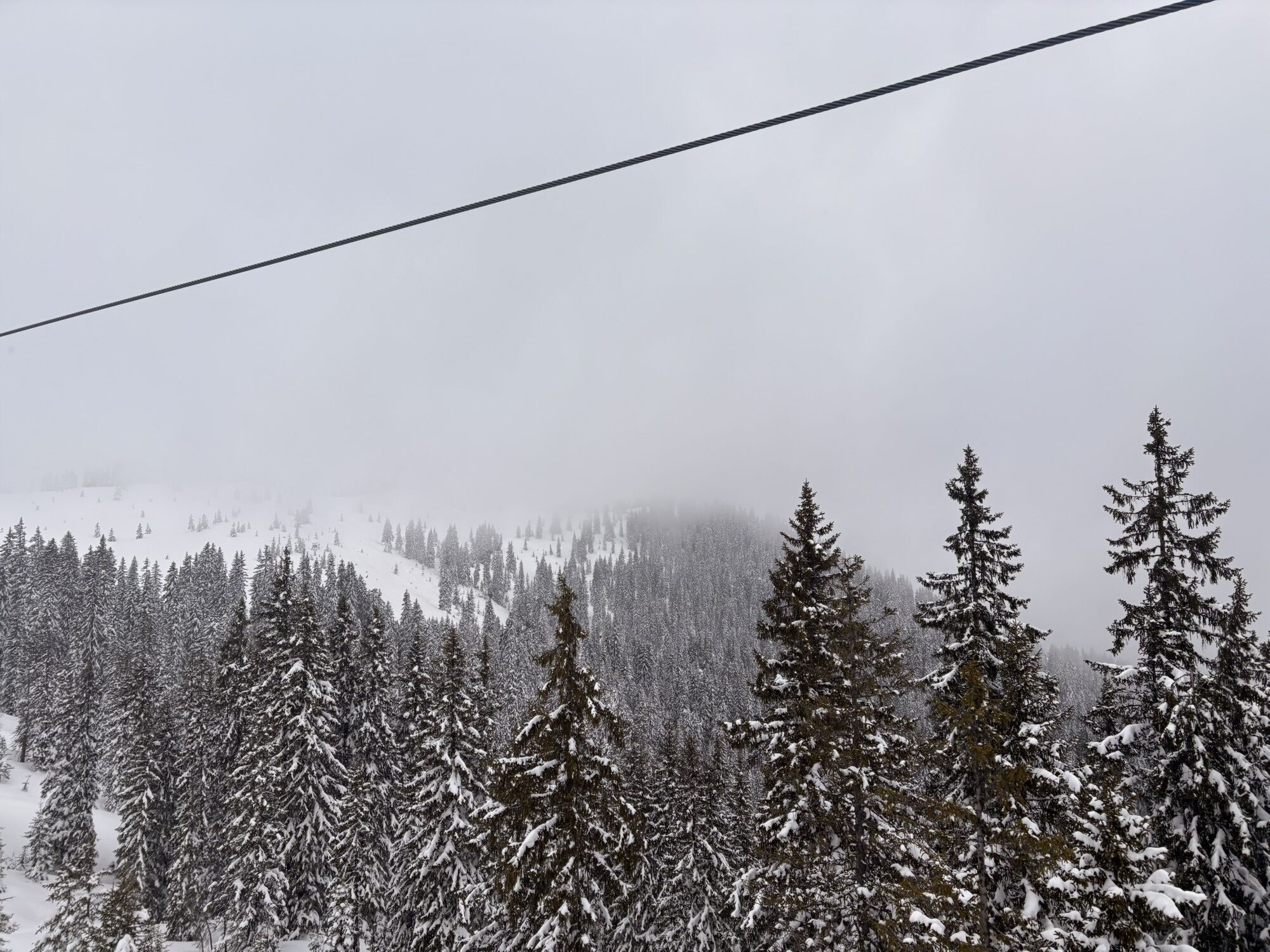
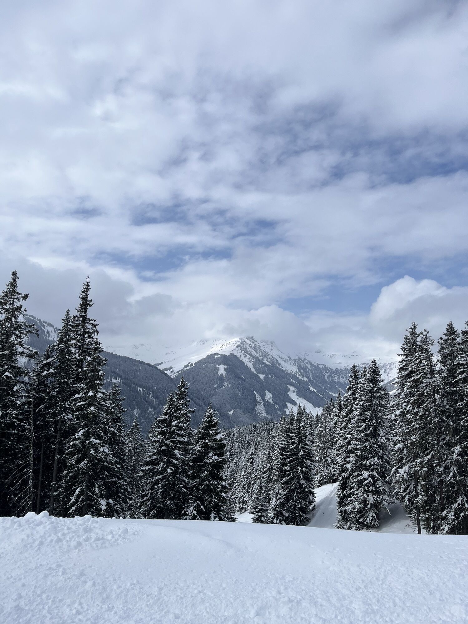
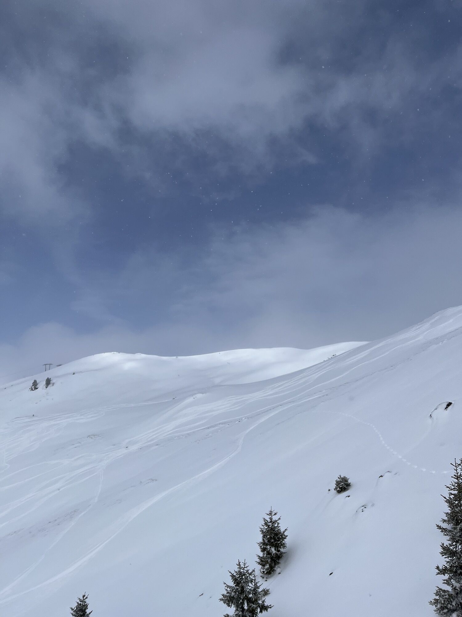
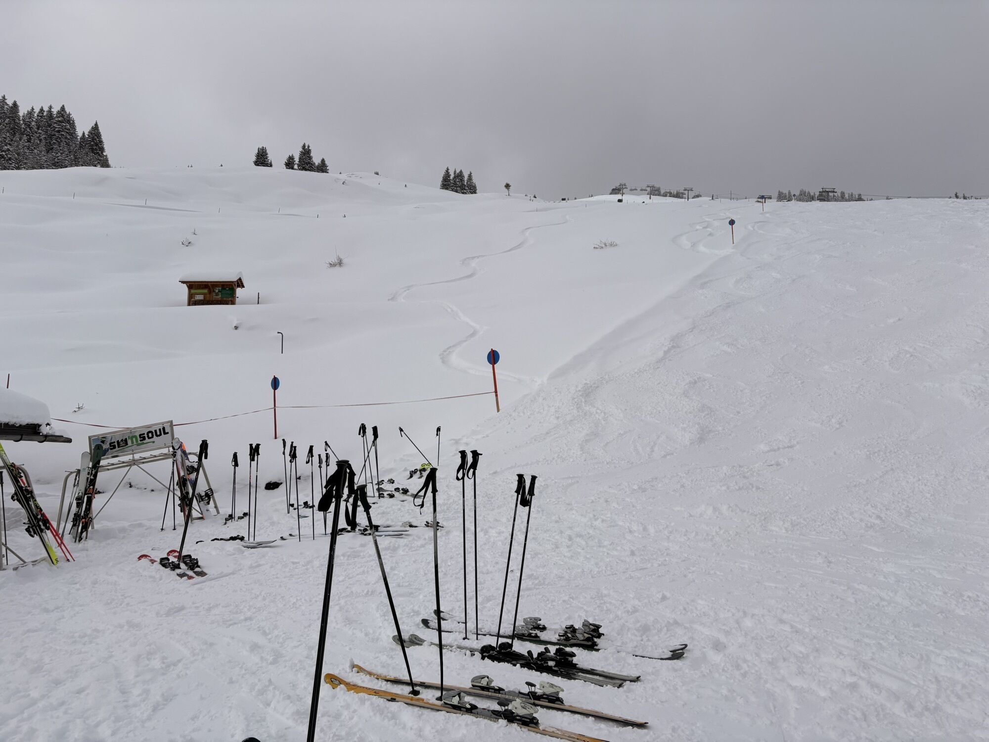
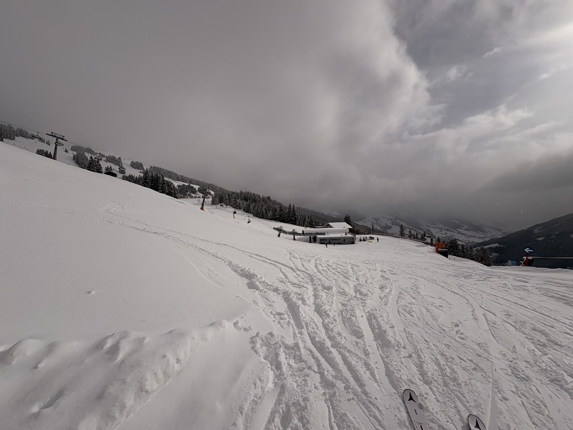
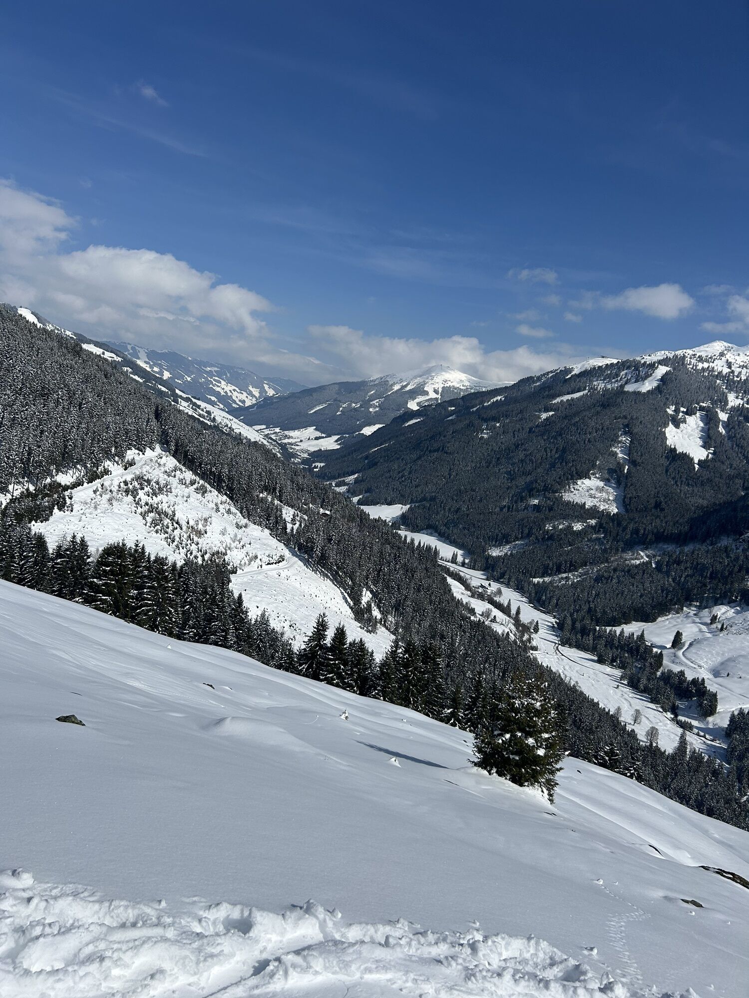
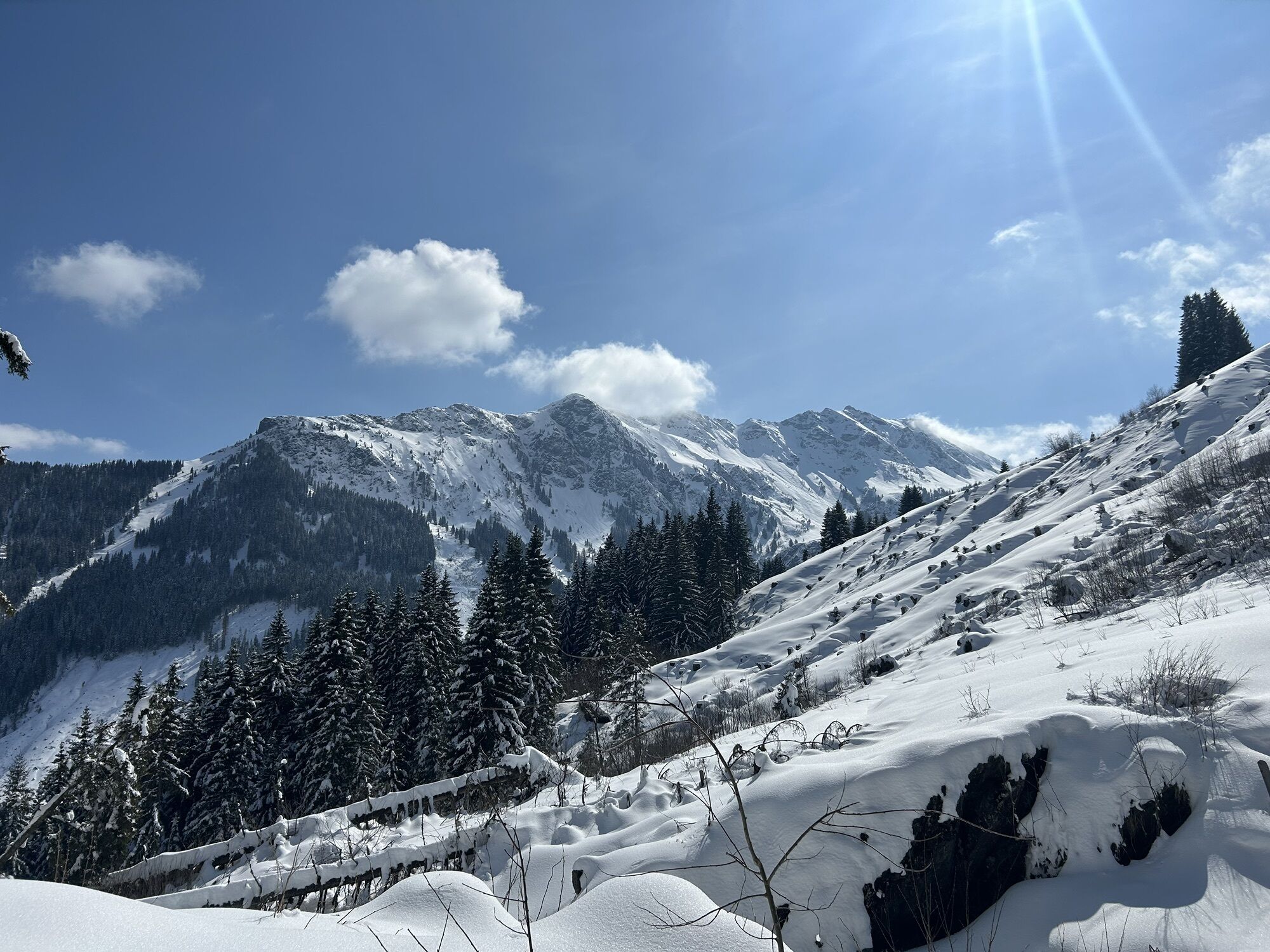
This is an enduring e-bike tour with a sensational panorama and varied trails. A total of 5 e-bike charging stations line this BIG E Tour. During the whole tour there are alternative possibilities of descending...
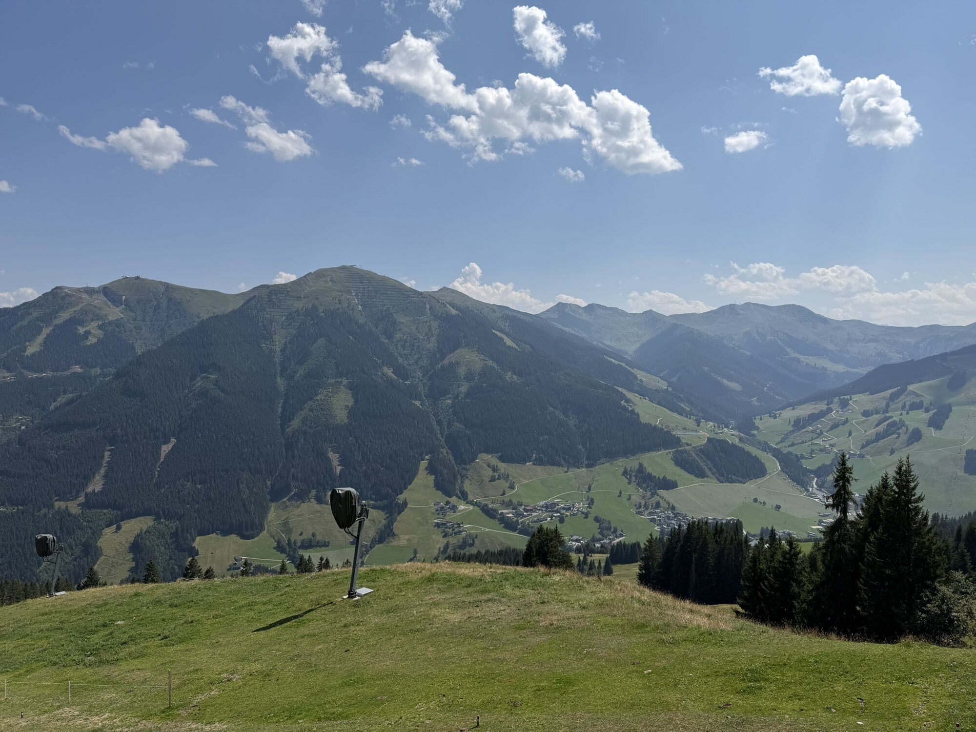
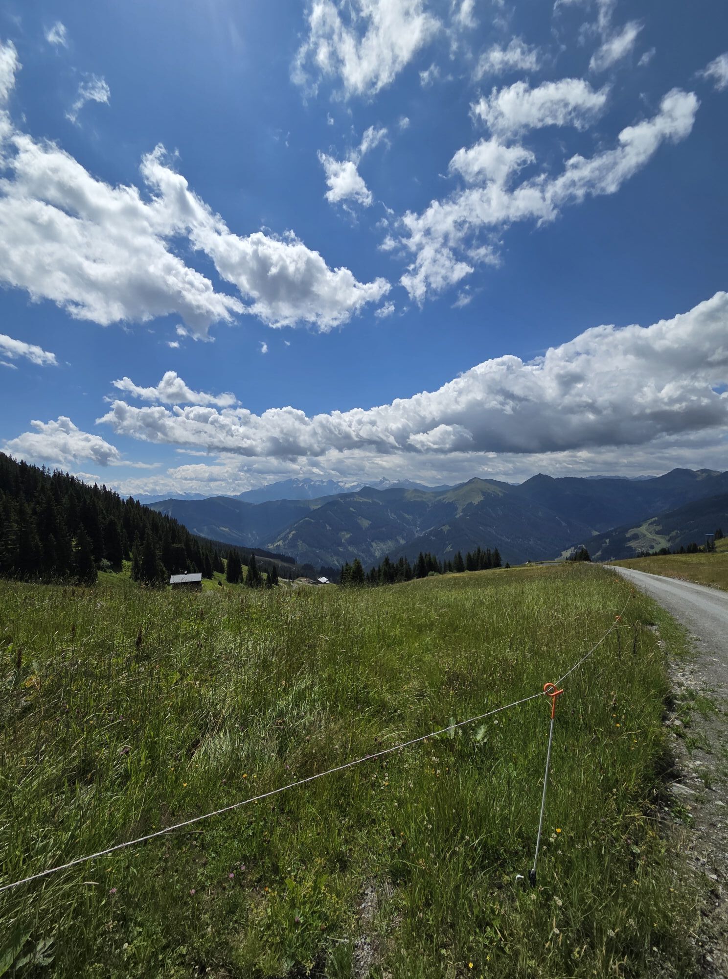
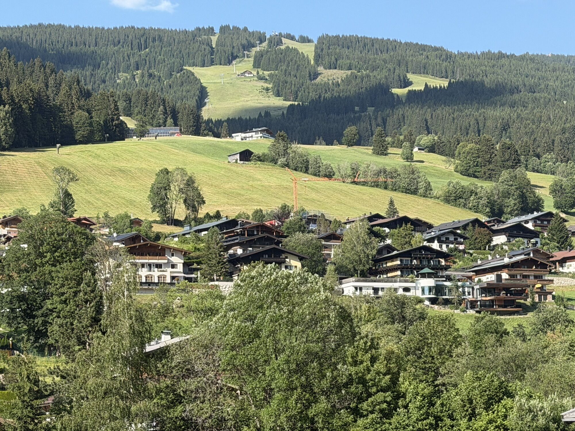
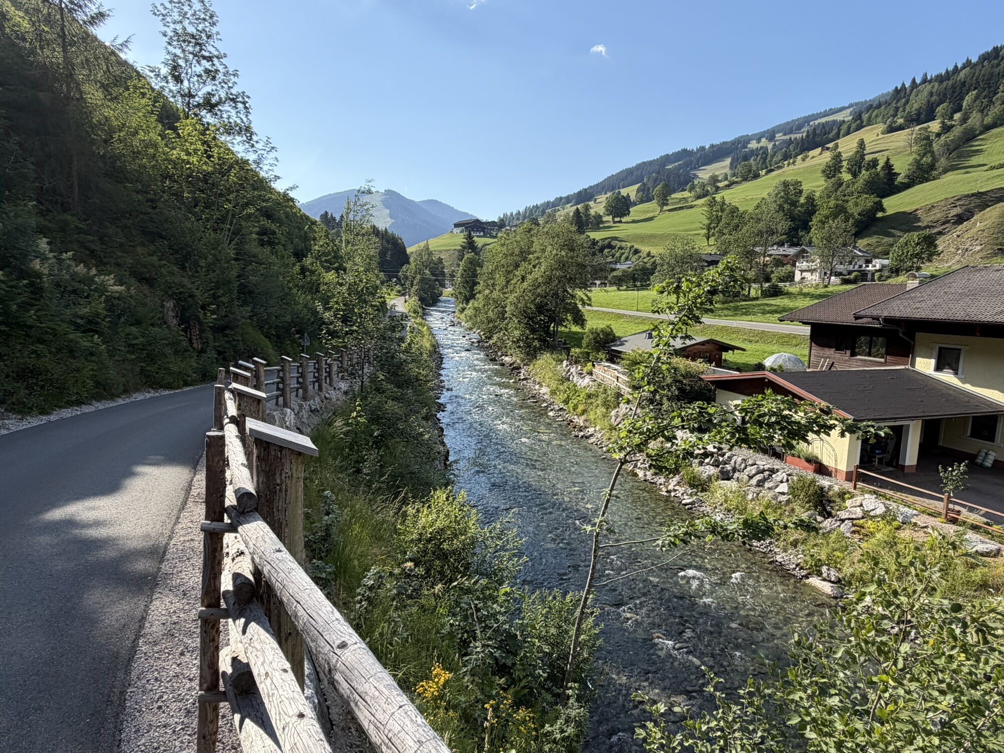
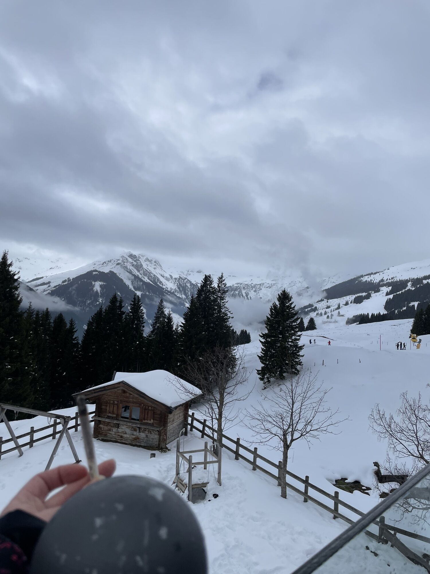
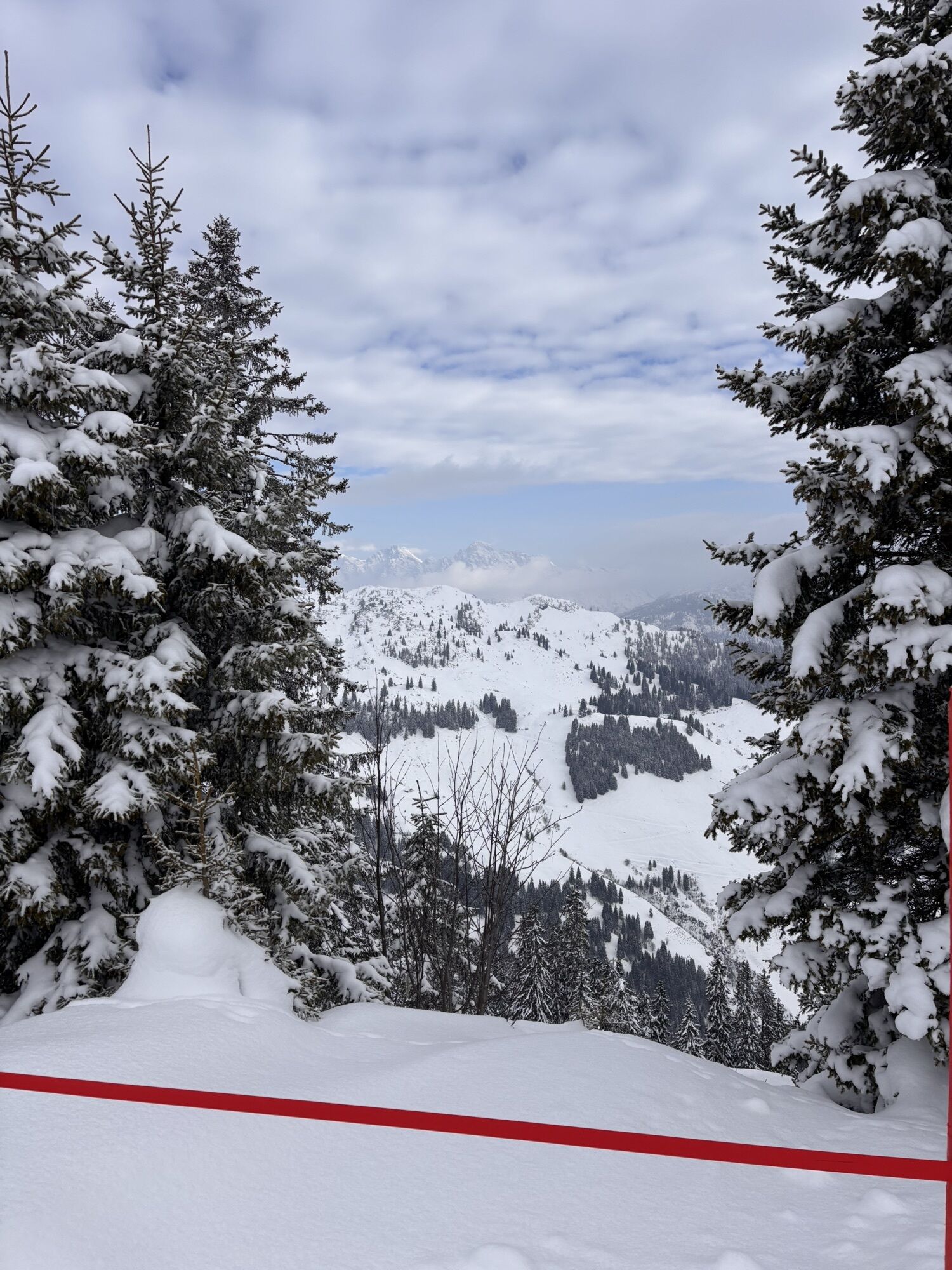
This is an enduring e-bike tour with a sensational panorama and varied trails. A total of 5 e-bike charging stations line this BIG E Tour. During the whole tour there are alternative possibilities of descending into the valley.

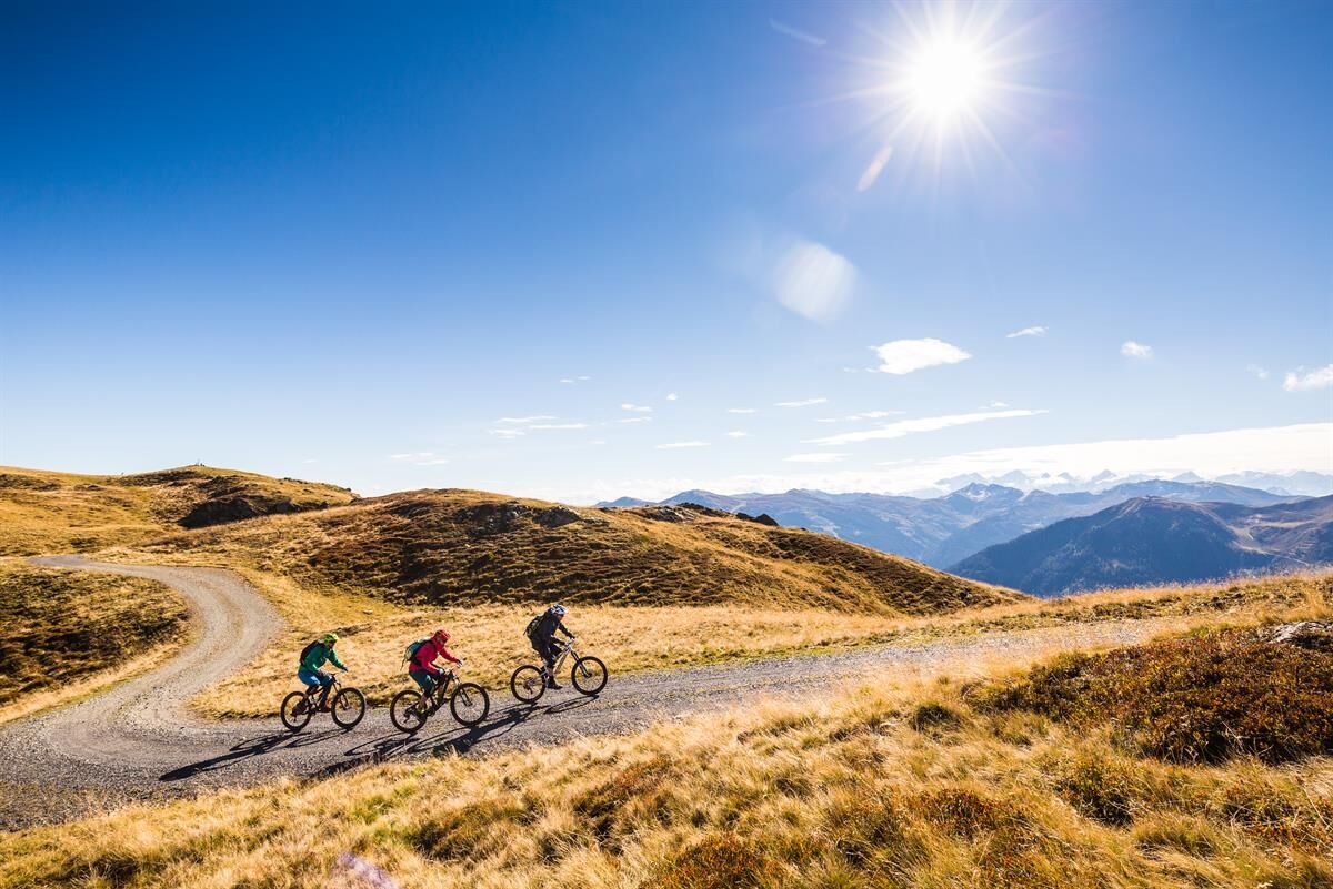

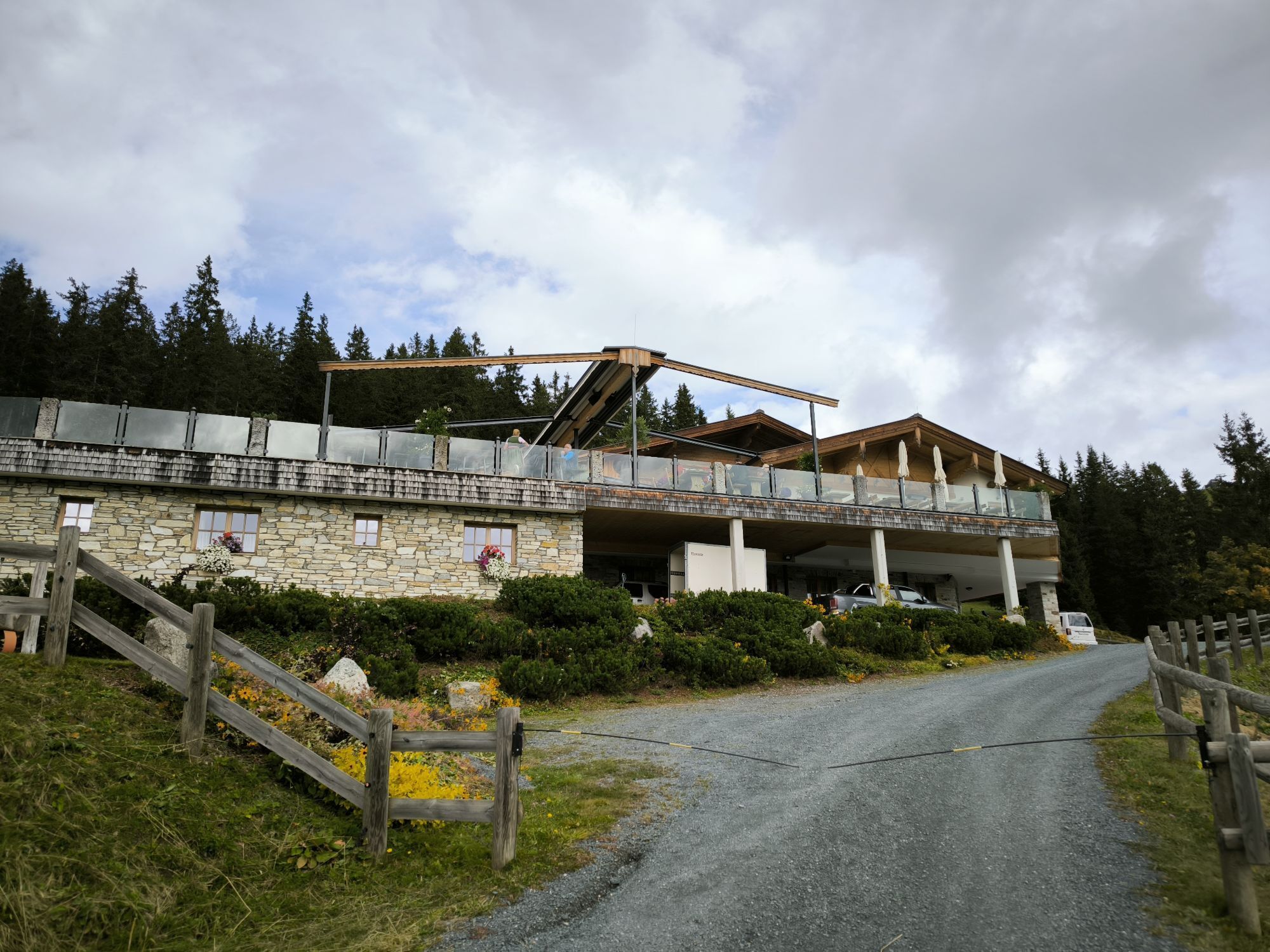
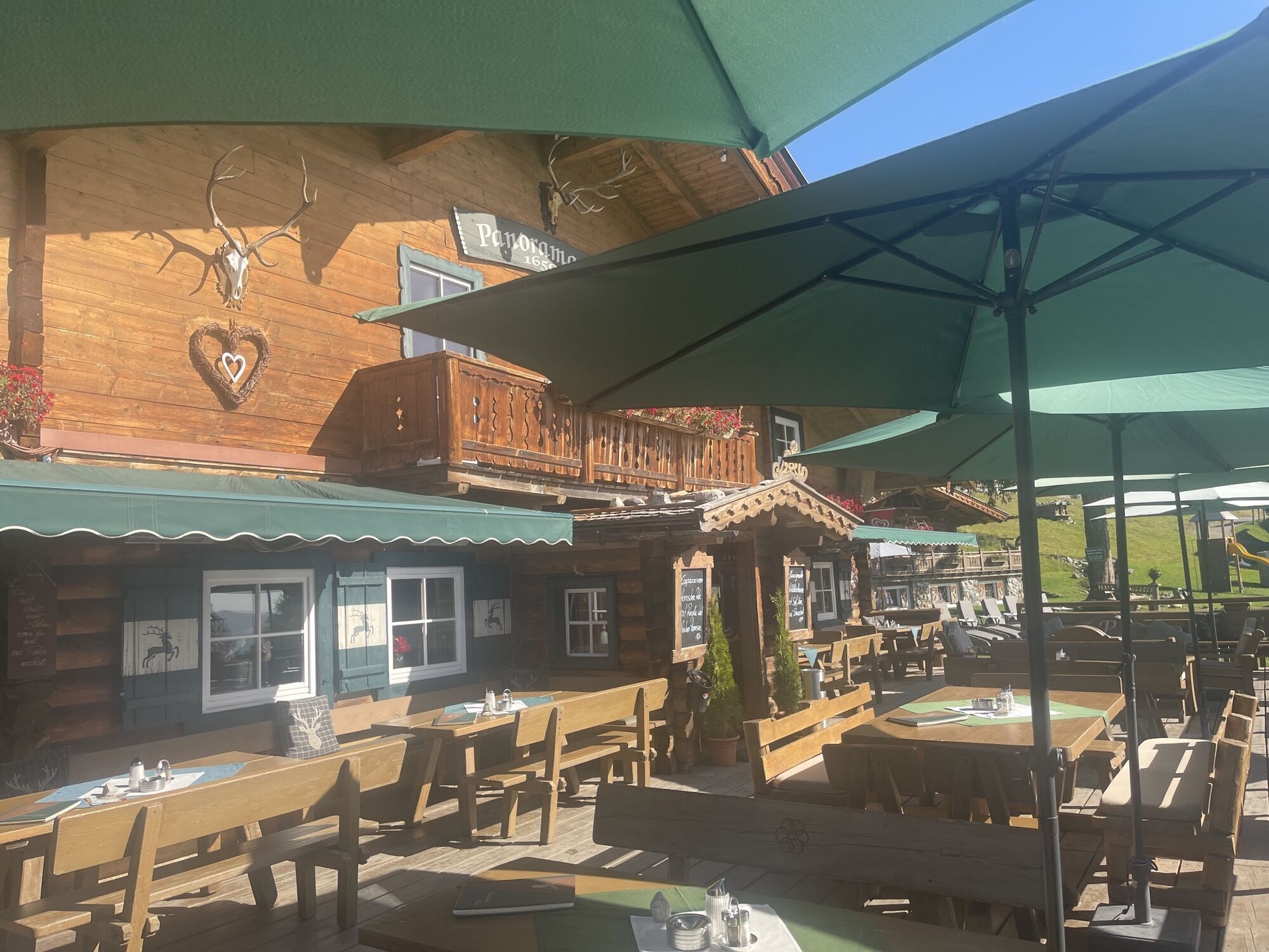
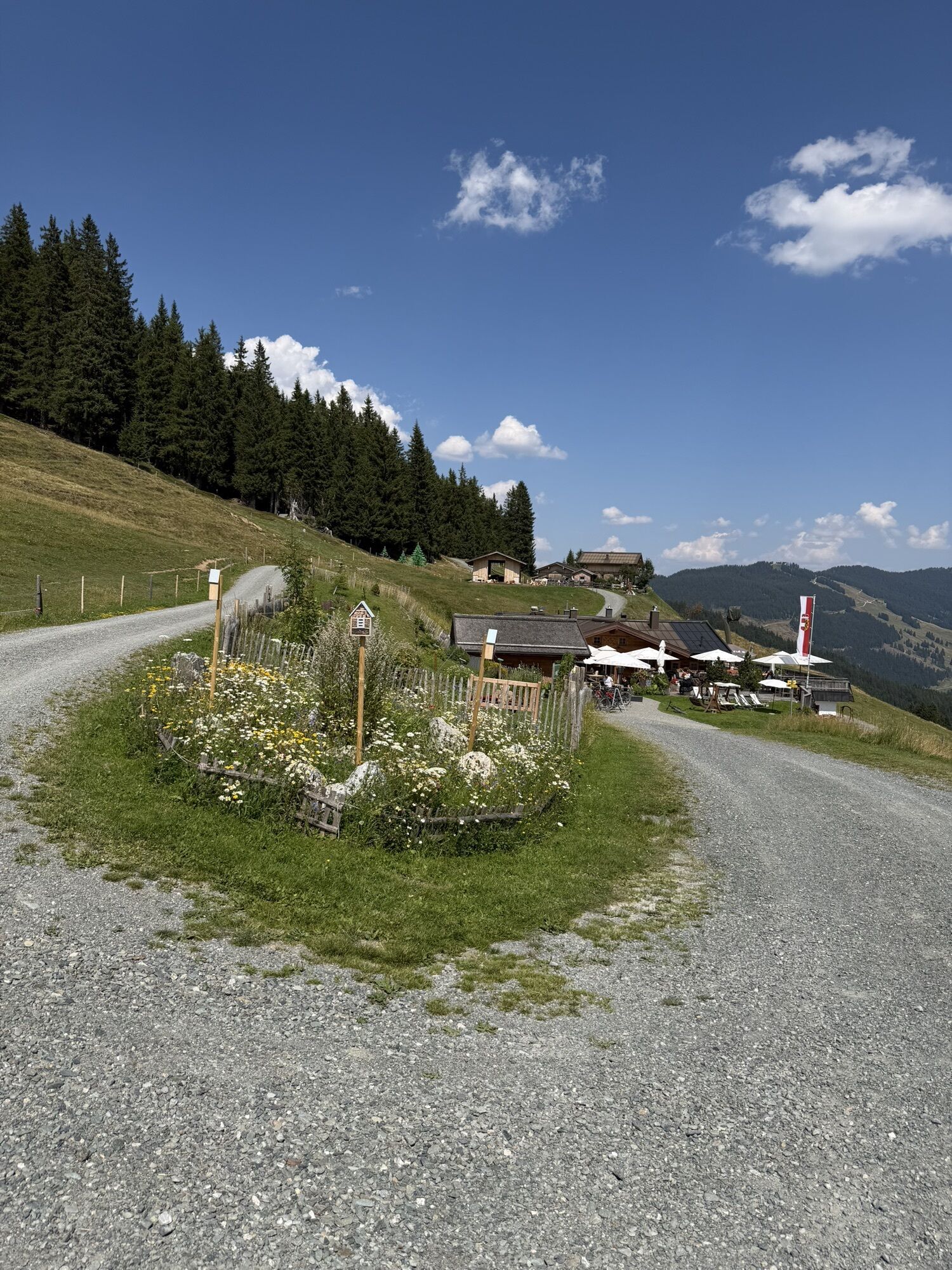
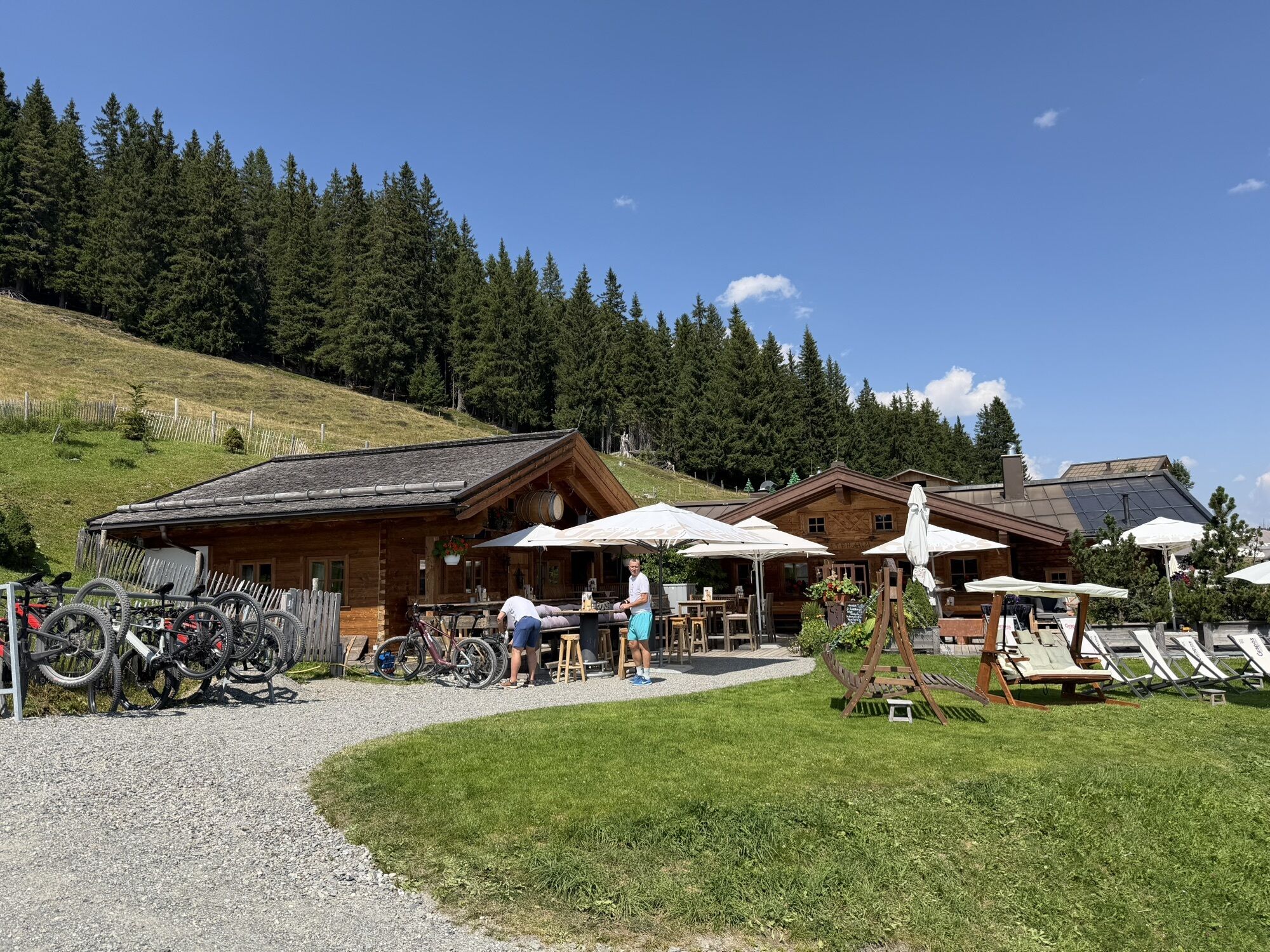
From Saalbach, you can ride comfortably along the gravel promenade to the Jausern district, where the long ascent to the Wildenkarhütte takes place. In this uphill, you can use the second highest electric motor power of your e-bike. Just below the Wildenkarhütte, the route leads over the Wurzel Trail towards the Kohlmaisbahn. From there the Panorama Trail meanders to the Panorama Alm and then the route continues over the forest road to the Spielberghaus. This is the ideal place for a rest and to recharge the accu of your bike.
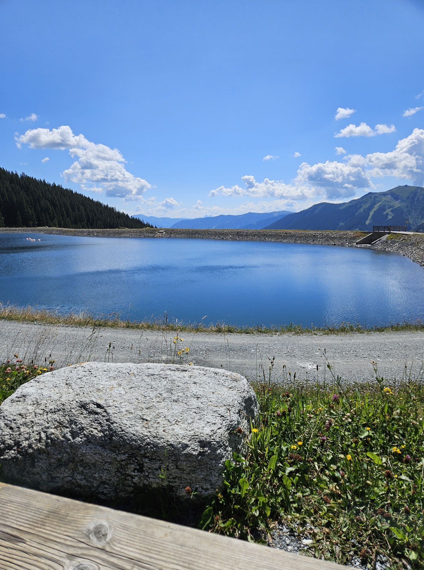
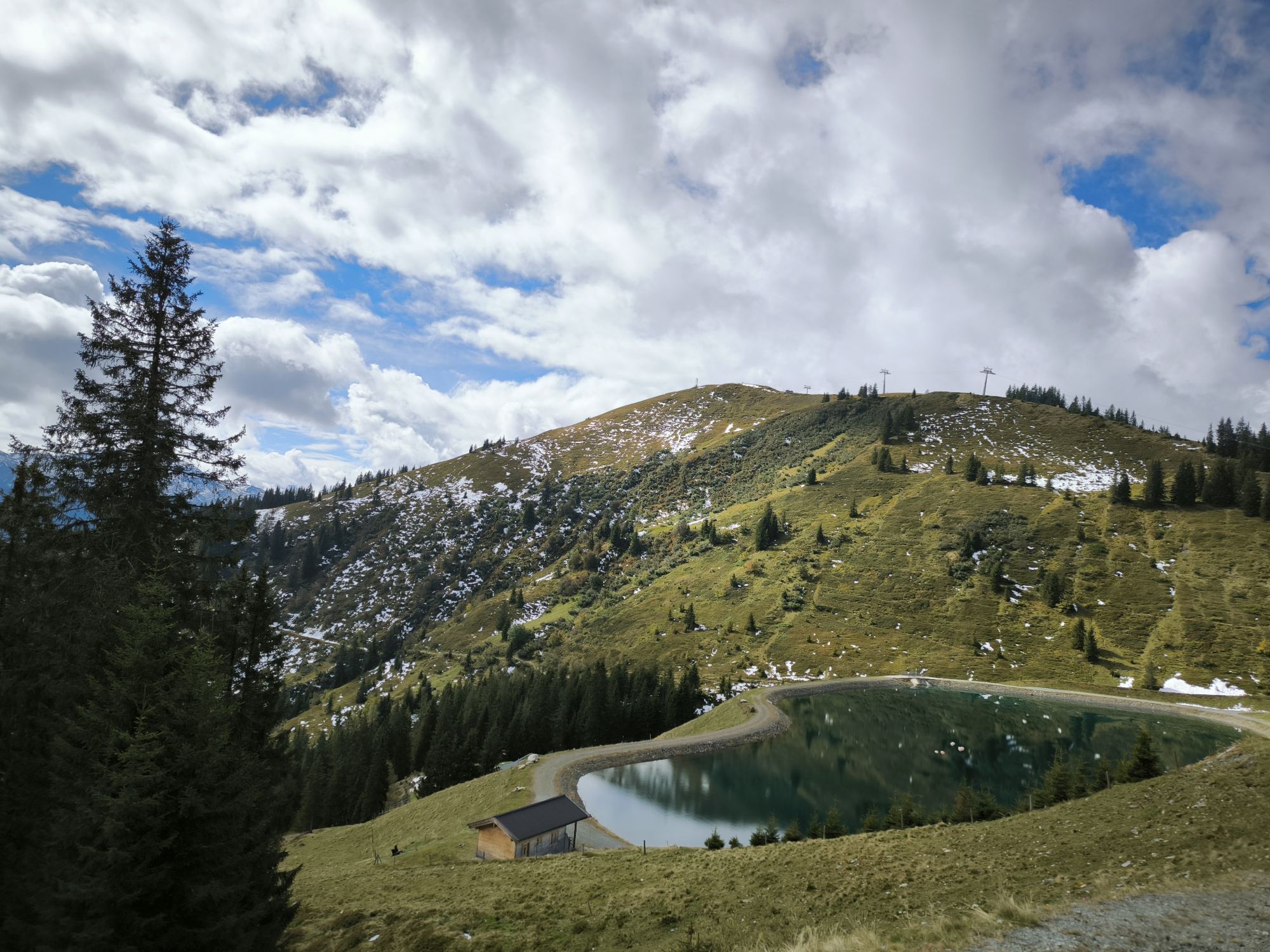
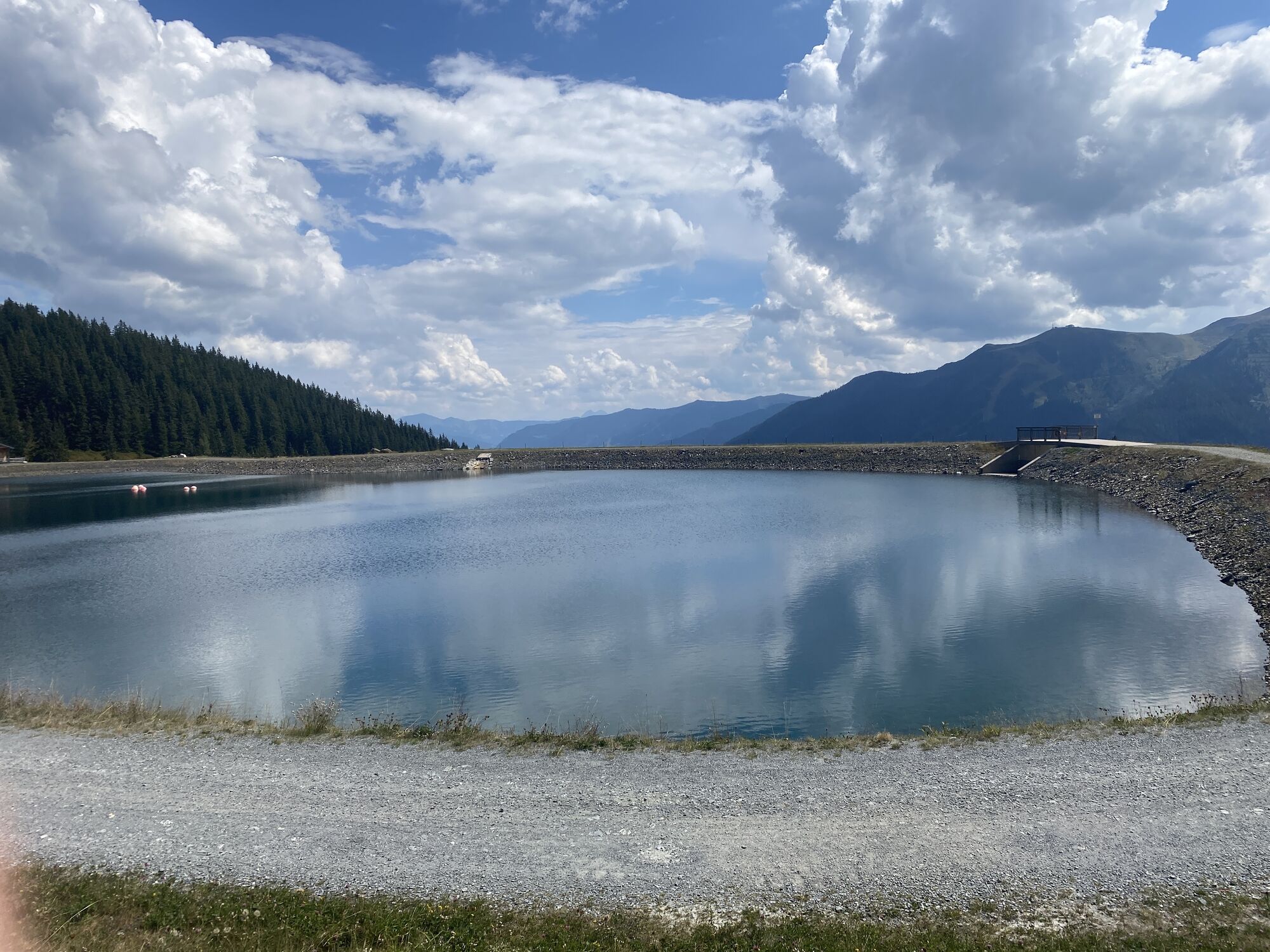
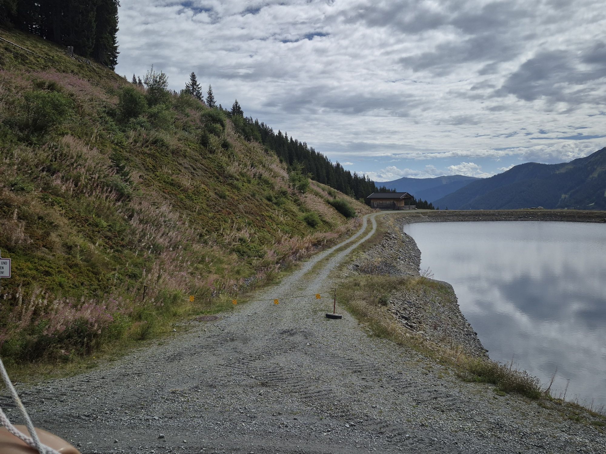
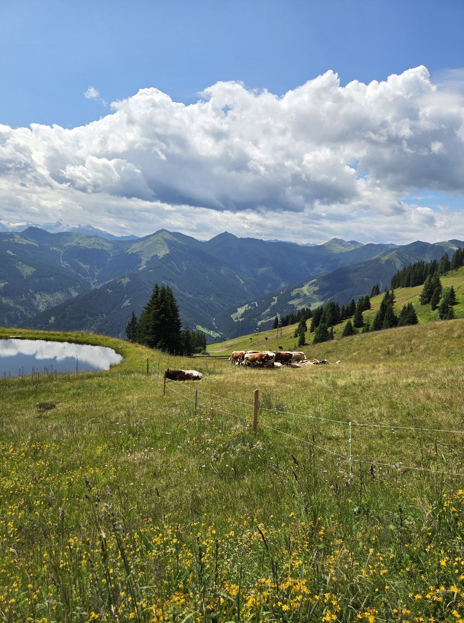
After the Spielberghaus, the next long climb up to the Bernkogel awaits you. After reaching the Bernkogel and a brief descent, you circle the beautiful Wetterkreuz reservoir pond and drive along the Wetterkreuz trail to the Reiteralm. Here, there is also the possibility of a nice rest with loading possibility. After the short descent to the Reiterkogelbahn, you ride along the trail to the Rosswaldhütte, which also offers delicacies to encourage you to linger. Directly after the Rosswaldhütte you crank uphill to the entrance of the Hochalm Trail.
The Hochalm Trail is playful and can also be driven with E-Hardtails, but this requires some skill. After the end of the trail you stay on the forest road on the right hand side and drive 2 serpentines into the valley. Now we continue towards Forsthofalm via a beautiful uphill trail. The last part of the trail is a bit demanding, but the view over the whole valley pays off this achievement.
After the Forsthofalm you turn over the Lindlingalm to the valley and move on the Promenade 3 towards Hinterglemm centre again. After passing the centre of the village, you drive along the promenade back to the starting point in the centre of Saalbach.
Sí
2
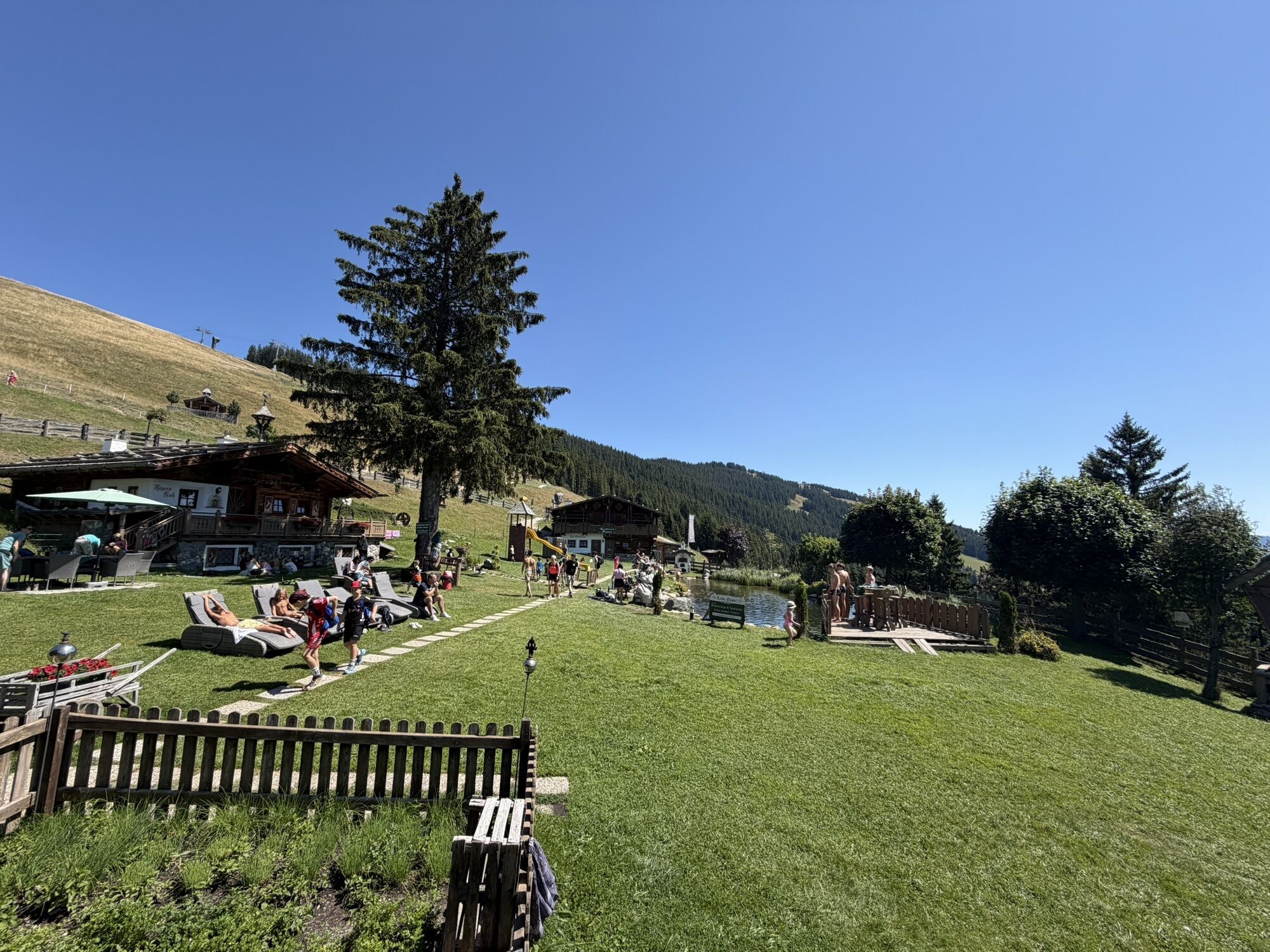
A rest at the huts with charging stations for the e-bike.
Webcams del recorrido
-
Schattberg - West
-
Asitz Gipfel
-
Berghotel Seidl-Alm
-
Schattberg Westgipfel
-
Asitz Mittelstation
-
Kohlmais Tal
-
Asitz Talstation
-
Reckmoos
-
Hinterglemm - Saalbach
-
Großer Asitz / Gipfelkreuz
-
Saalbach-Hinterglemm - Schattberg Ost
-
Saalbach-Hinterglemm - Zwölferkogel
-
Saalbach-Hinterglemm - Wildenkarkogel
-
Saalbach - Hotel Alpinresort
-
Zwölferkogel
-
Wildenkarkogel
-
Talstation Asitzbahn
-
Leogang - Grosser Asitz
-
zellamseeXpress
-
Martenhof
-
Wohlfühlhotel-Johanneshof
-
Eberharthof - Saalbach-Hinterglemm
-
Hochalm Mittelstation
Infórmate
Siempre en directo con más de 9.500 webcams. bergfex Como usuario Pro, ahora puede ver las webcams correspondientes a muchos tours en la app de tours desde. Esto le permite ver las condiciones actuales directamente.
Rutas populares en los alrededores
-
4,3
Maurerkogel (Top)
Senderismo 10,5 km -
4,2
Passauer Hütte
pesadoSenderismo 4,14 km -
4,6
Lettlkaser
medioSenderismo 4,40 km -
4,1
Montaña de los sentidos
luzSenderismo 4,39 km -
4,6
Birnbachloch Leogang, Österreich
medioSenderismo 5,18 km -
4,5
Kitz Bhf- Kitzbühler Horn und zurück zum Alpenhaus
medioSenderismo 11,8 km -
4,9
Hochsonnberg Runde
medioMountainbike 59,8 km -
4,6
Ruta panorámica con 3 cumbres y 2 lagos
medioSenderismo 7,21 km -
4,9
Schmittenhöhe - Hochsonnbergalm - choza Pinzgauer
medioSenderismo 9,09 km -
4,3
Sendero de altura Saalachtaler ESTE (Asitz - Biberg)
medioSenderismo 13,1 km
Senderismo y rastreo


No se pierda las ofertas y la inspiración para sus próximas vacaciones
Su dirección de correo electrónico se ha añadido a la lista de correo.





