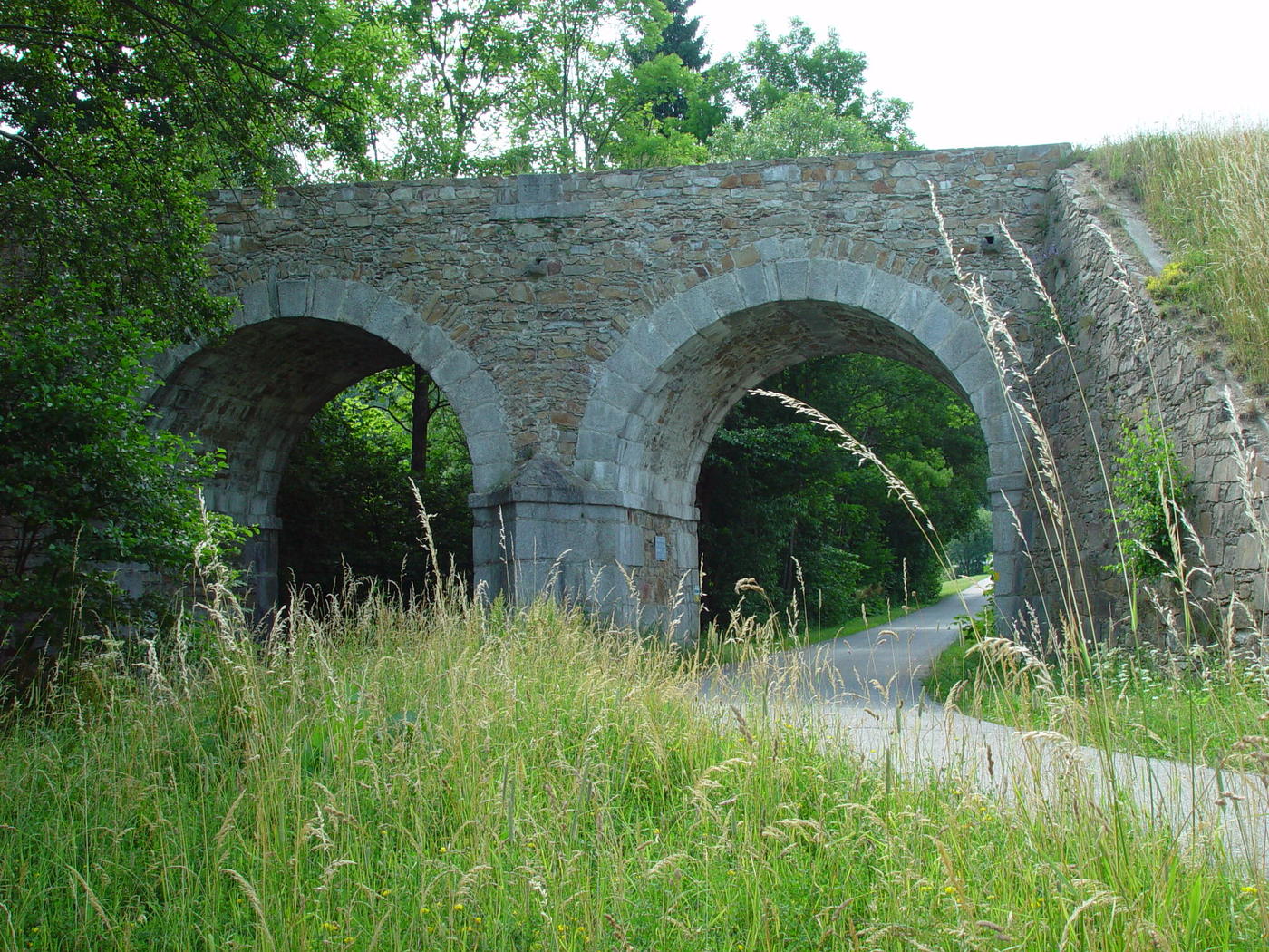
© TVB Mühlviertler Kernland
Datos del tour
5,59km
575
- 699m
123hm
131hm
01:30h

- Dificultad
-
fácil
- Valoración
-
- Punto de salida
-
Ortsplatz Waldburg
- Ruta
-
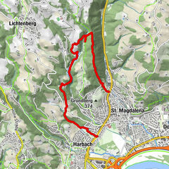
Waldburg0,0 kmMarreith1,8 kmWaldburg5,5 km
- La mejor temporada
-
enefebmarabrmayjunjulagosepoctnovdic
- Punto álgido
- 699 m
- Descanso/Avituallamiento
-
Gastronomie im Ort
- Material cartográfico
-
Tourismusverband Mühlviertler Kernland
Hauptplatz 14
4240 Freistadt, ÖsterreichTel.: +43 (7942)75700
Fax: +43 (7942) 75700 20
GPS Downloads


Superficie de carretera
Asfalto
Gravilla
Pradera
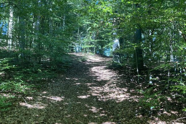
Bosque
Roca
Expuesto
Más circuitos por las regiones
-
Mühlviertel
1782
-
Mühlviertler Alm Freistadt
1067
-
Waldburg
337