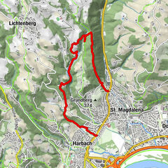
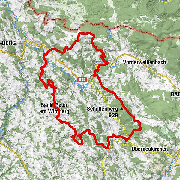
Datos del tour
59,07km
516
- 912m
1.665hm
1.637hm
14:46h
- Breve descripción
-
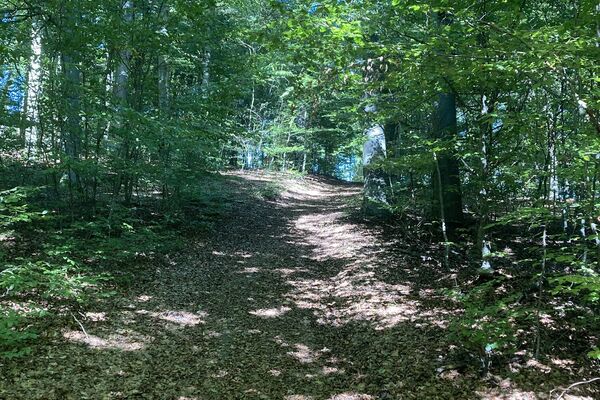
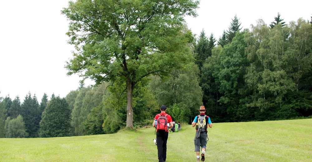
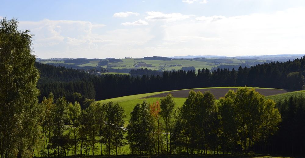
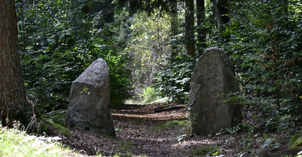
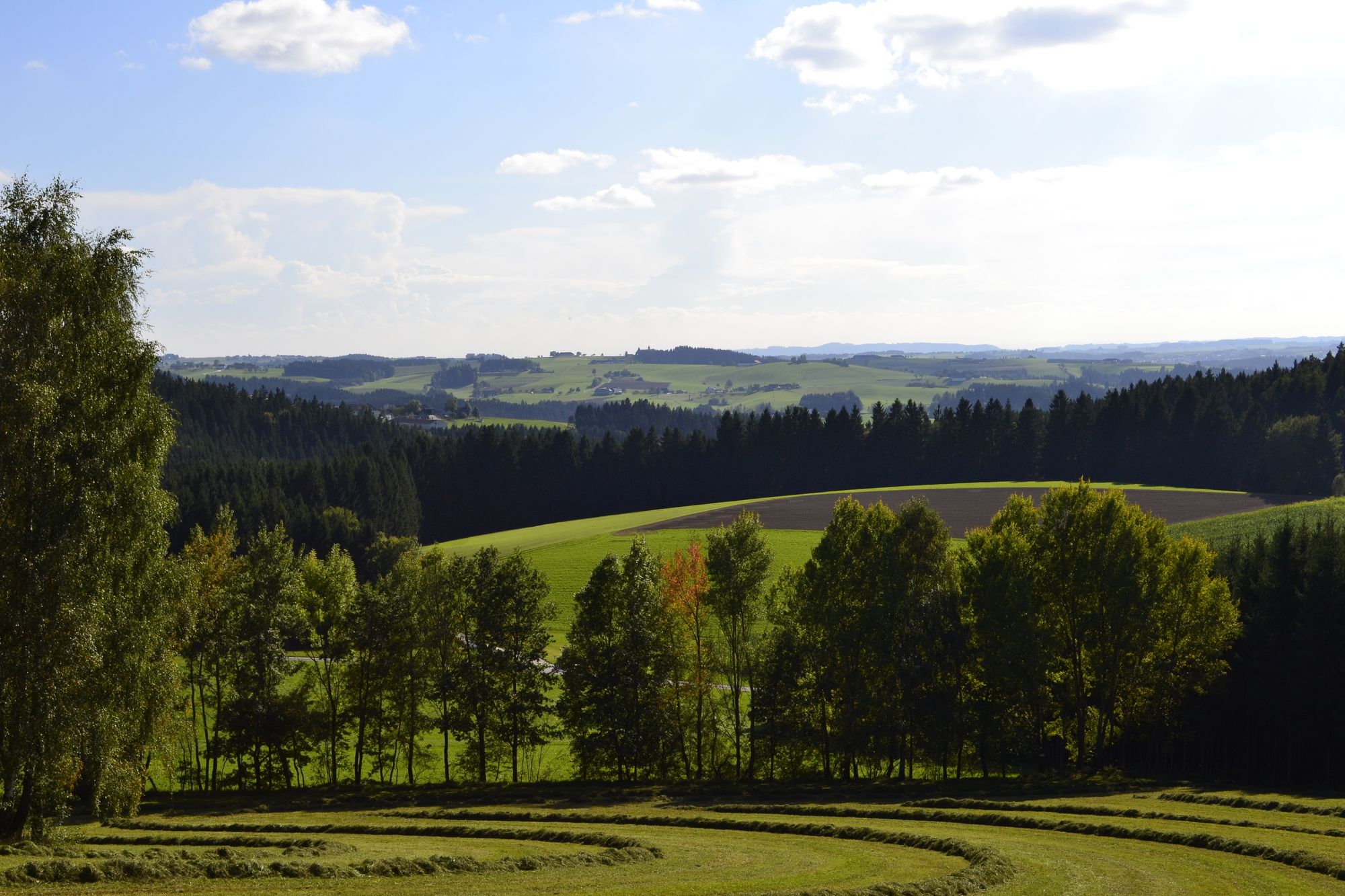
Auf DU und DU mit unseren Bäumen
- Dificultad
-
medio
- Valoración
-
- Ruta
-
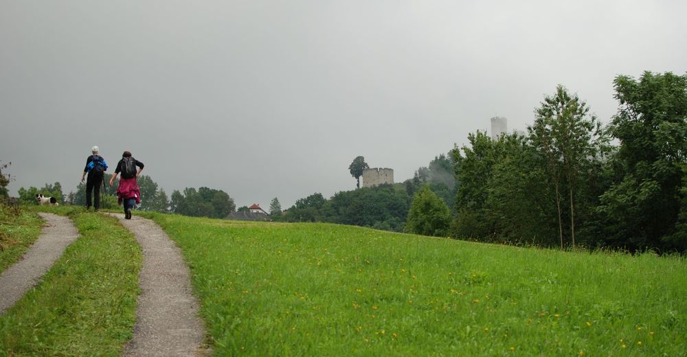
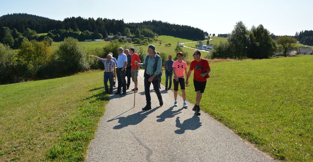
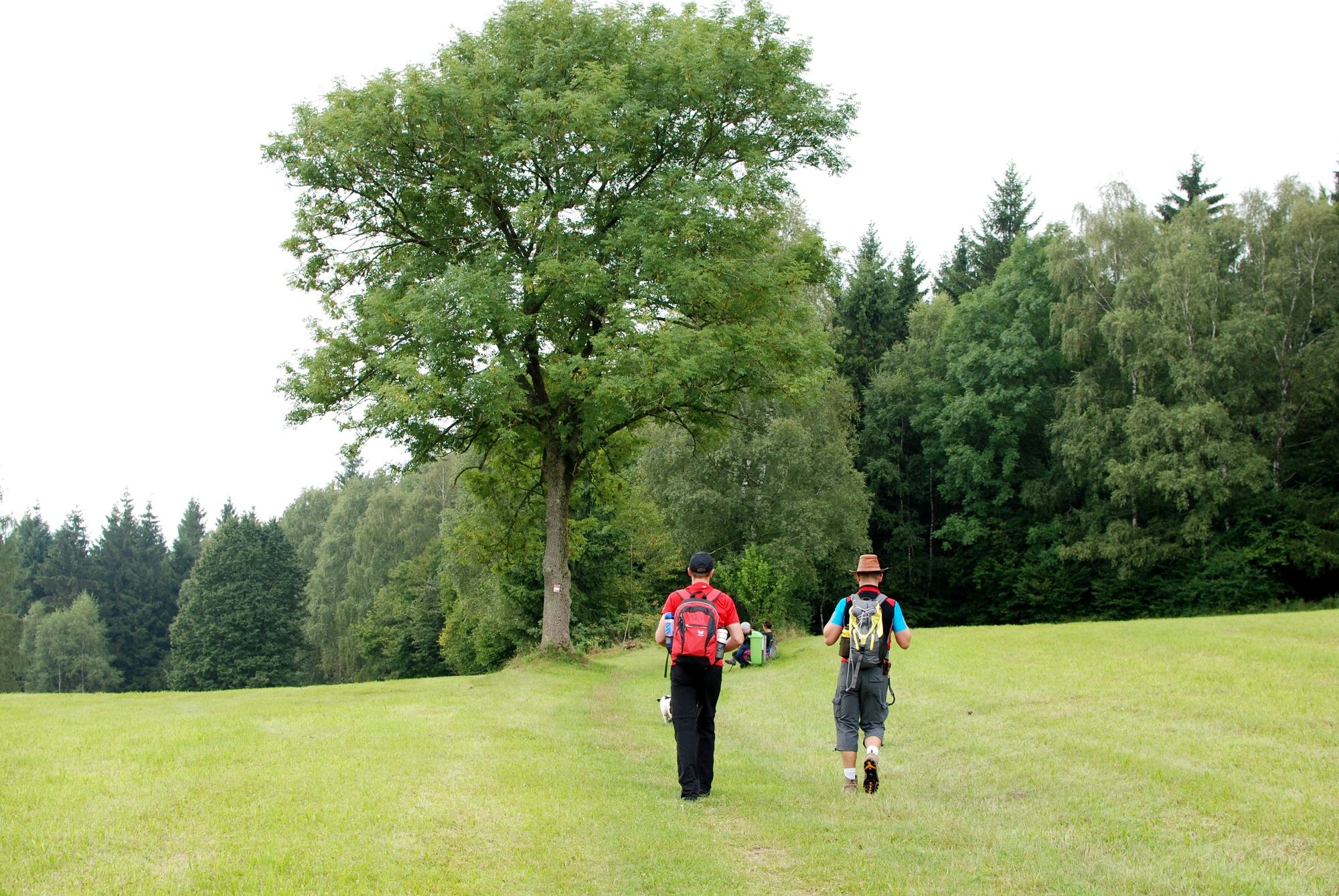
Sankt Johann am WimbergKeplingerwirtSchlag1,2 kmSchigasthaus2,0 kmJausenstation Hansberg2,1 kmHansberg (850 m)2,3 kmSankt Veit im Mühlkreis3,9 kmLandhotel Hoftaverne Atzmüller8,0 kmWaxenberg8,3 kmPunzing8,6 kmAhorn15,9 kmGasthaus Haudum19,6 kmPfarrkirche Helfenberg19,6 kmHelfenberg19,6 kmGasthaus Thorwartl20,1 kmKreuzweg Station IX23,3 kmKreuzweg Station X23,3 kmWaldkreuzkapelle24,6 kmSalmesmühle26,8 kmUnterafiesl27,6 kmHintring (922 m)31,9 kmSankt Stefan am Walde32,9 kmStefansplatzl32,9 kmDrudenstein34,0 kmNeudorf39,5 kmLandgasthof Diendorfer39,5 kmMaria Rast41,9 kmSimbrunnerquelle46,2 kmLüftnerberg (751 m)46,2 kmSankt Peter am Wimberg50,2 kmDorfstüberl58,9 kmKeplingerwirt58,9 kmPfarrkirche St. Johann58,9 kmSankt Johann am Wimberg59,0 km
- La mejor temporada
-
enefebmarabrmayjunjulagosepoctnovdic
- Punto álgido
- 912 m


GPS Downloads


Superficie de carretera
Asfalto
Gravilla
Pradera
Bosque
Roca
Expuesto
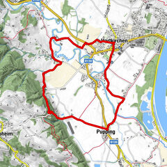
Más circuitos por las regiones
-
Mühlviertel
1782
-
Mühlviertler Hochland
751
-
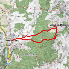
Helfenberg - Ahorn
253