
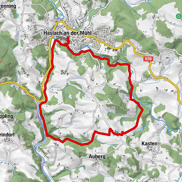
Datos del tour
11,2km
490
- 629m
186hm
178hm
03:30h
- Breve descripción
-
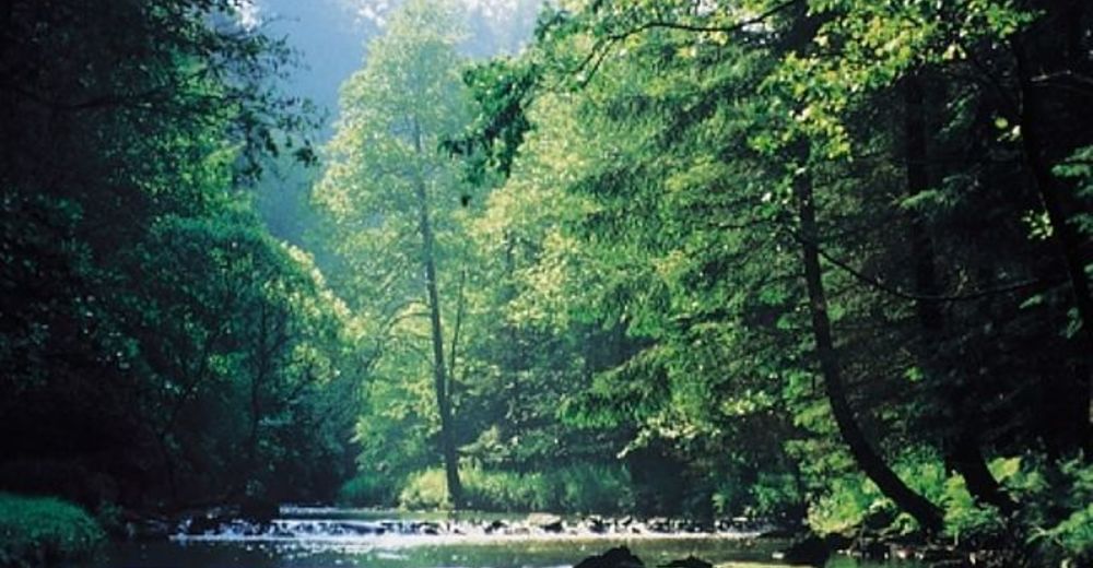
Ideal für Familien und Senjoren
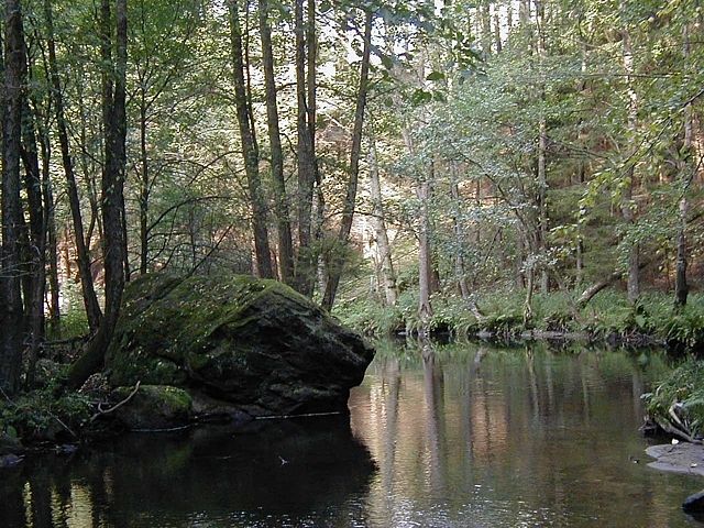
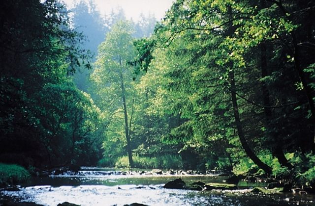
Großteils Waldwege - Dificultad
-
medio
- Valoración
-
- Punto de salida
-
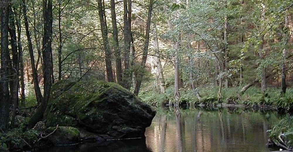
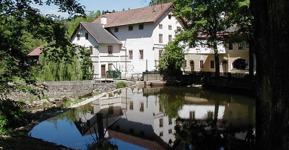
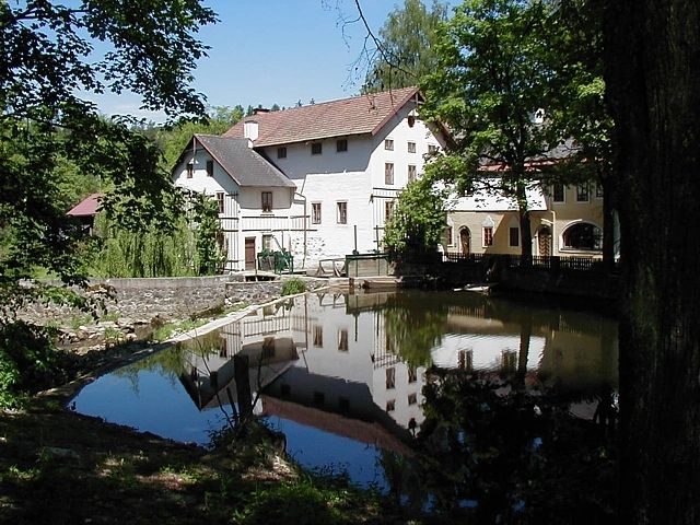
Der Ort Haslach oder unser Landgasthof.
- Ruta
-
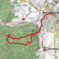
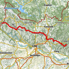
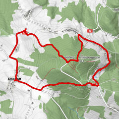
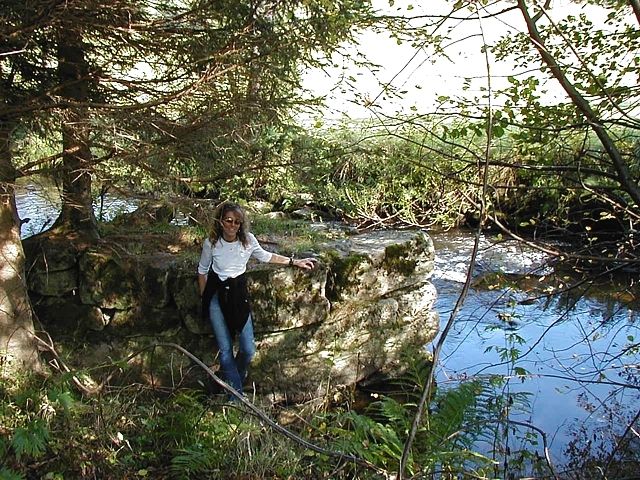
Haslach an der Mühl0,0 kmPfarrkirche Haslach, St. Nikolaus0,1 kmNeudorf5,8 kmLandgasthof Diendorfer5,9 kmNotarquelle10,3 kmPfarrkirche Haslach, St. Nikolaus11,0 kmHaslach an der Mühl11,1 km
- La mejor temporada
-
enefebmarabrmayjunjulagosepoctnovdic
- Punto álgido
- 629 m
- Descanso/Avituallamiento
-
Im Landgasthof Diendorfer
- Material cartográfico
-
Wanderkarte Böhmerwald
GPS Downloads


Superficie de carretera
Asfalto
Gravilla
Pradera
Bosque
Roca
Expuesto
Más circuitos por las regiones
-
Mühlviertel
1782
-
Mühlviertler Hochland
751
-
Haslach an der Mühl
199