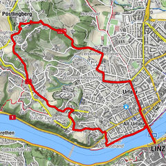

Datos del tour
9,7km
252
- 411m
170hm
161hm
02:25h
- Breve descripción
-
Wanderung von Linz via Puchenau über den "Türmeweg"
- Dificultad
-
fácil
- Valoración
-
- Ruta
-
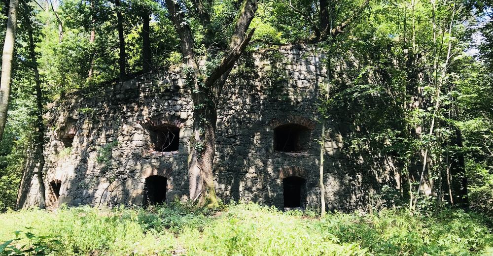
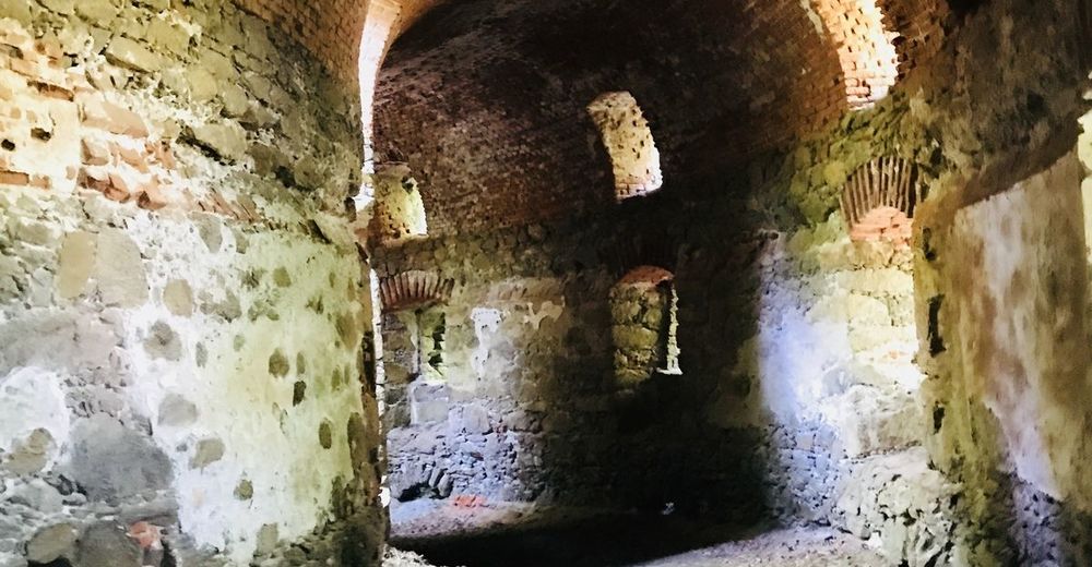
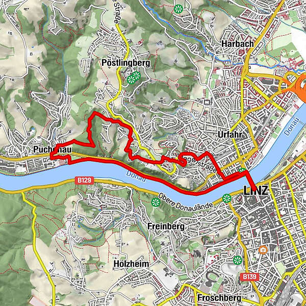
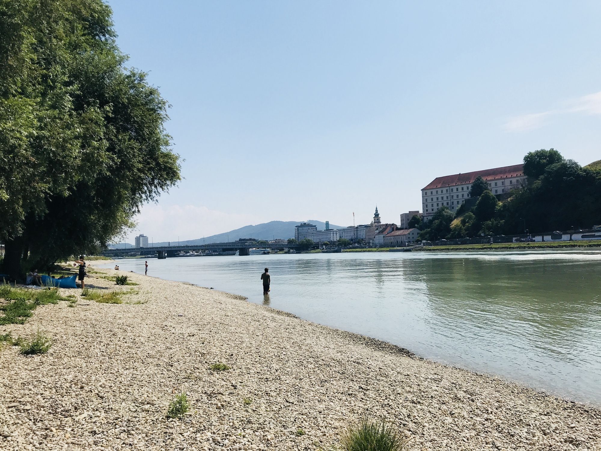
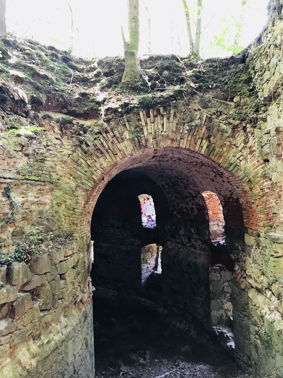
Linz (266 m)Alt-Urfahr0,2 kmNikolaikapelle0,3 kmDonaubus Anlegestelle0,4 kmUrfahrwänd1,9 kmPuchenau3,6 kmSankt Andreas3,8 kmZoobuffet6,8 kmNikolaikapelle9,0 kmAlt-Urfahr9,1 kmDonaubus Anlegestelle9,3 km
- Punto álgido
- 411 m
GPS Downloads


Más circuitos por las regiones
-
Mühlviertel
1781
-
Linz & Region Linz
842
-
Puchenau
332