


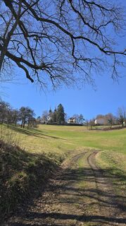
Linz: Sendero urbano Pöstlingberg
Fotos de nuestros usuarios
-
 © Stefan KönigsdorferCreado el 25.04.2026
 -
 © chrimCreado el 25.04.2026
 -
 © chrimCreado el 25.04.2026
 -
 © chrimCreado el 25.04.2026
 -
 © josef duermoserCreado el 25.03.2026
 -
 © josef duermoserCreado el 25.03.2026
 -
 © josef duermoserCreado el 25.03.2026
 -
 © josef duermoserCreado el 25.03.2026
 -
 © Andrea ButzerinCreado el 16.03.2026
 -
 © Andrea ButzerinCreado el 16.03.2026
 -
 © willifelCreado el 14.03.2026
 -
 © willifelCreado el 14.03.2026
 -
 © ErnstCreado el 18.01.2026
 -
 © ErnstCreado el 18.01.2026
 -
 © ErnstCreado el 18.01.2026
 -
 © ErnstCreado el 18.01.2026
 -
 © ErnstCreado el 18.01.2026
 -
 © Ingmar GoetzloffCreado el 03.03.2025
 -
 © WanderfuxCreado el 02.03.2023
 -
 © WanderfuxCreado el 02.03.2023
 -
 © WanderfuxCreado el 02.03.2023
 -
 © WanderfuxCreado el 02.03.2023
 -
 © WanderfuxCreado el 02.03.2023
 -
 © WanderfuxCreado el 02.03.2023


PUNTOS INTERESANTES EN EL CAMINO:
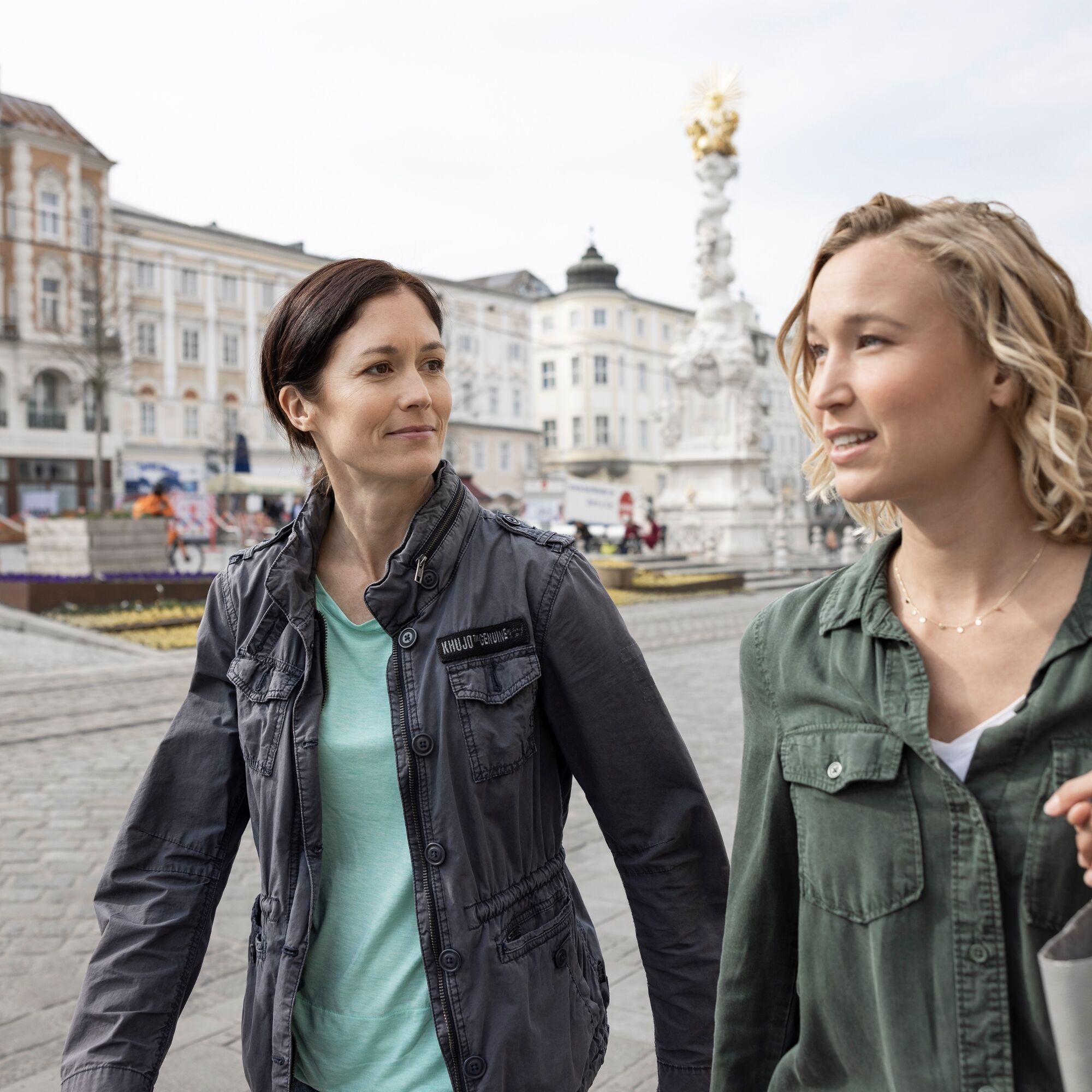
Plaza principal barroca de Linz y casco antiguo pintoresco, Nueva Catedral, Antigua Catedral, Centro Ars Electronica - Museo del Futuro, Museo del Castillo, Museo de Arte...
PUNTOS INTERESANTES EN EL CAMINO:
Plaza principal barroca de Linz y casco antiguo pintoresco, Nueva Catedral, Antigua Catedral, Centro Ars Electronica - Museo del Futuro, Museo del Castillo, Museo de Arte Lentos, Museo de la Ciudad NORDICO, Casa de Conciertos Brucknerhaus de Linz, Teatro Estatal de Linz, Mundo del Acero voestalpine, recorrido diario por la ciudad, Linz City Express, Pöstlingbergbahn - el funicular de adhesión más empinado de Europa
SENDERISMO ESPIRITUAL EN EL DONAUSTEIG:
Linz se encuentra en el Camino de Santiago de Alta Austria. Ruta este-oeste-norte.
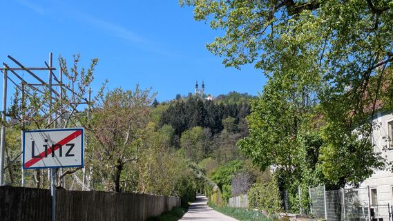
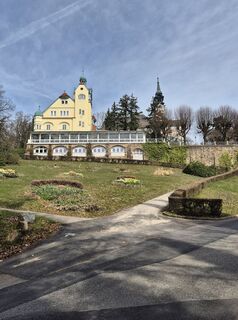
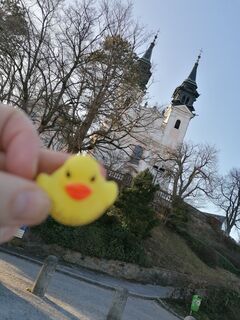
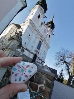
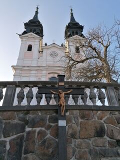
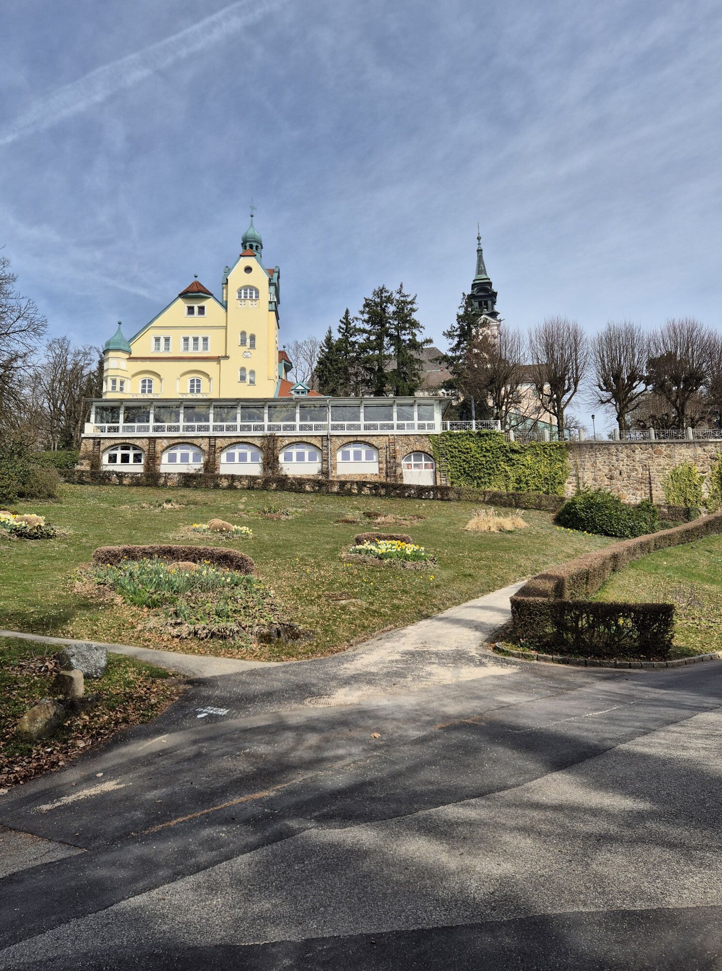
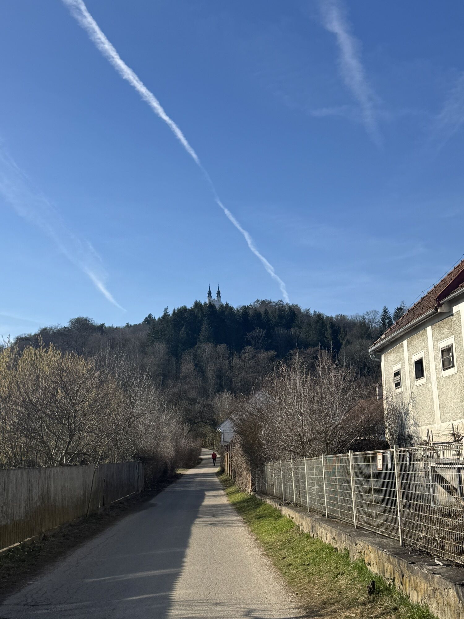
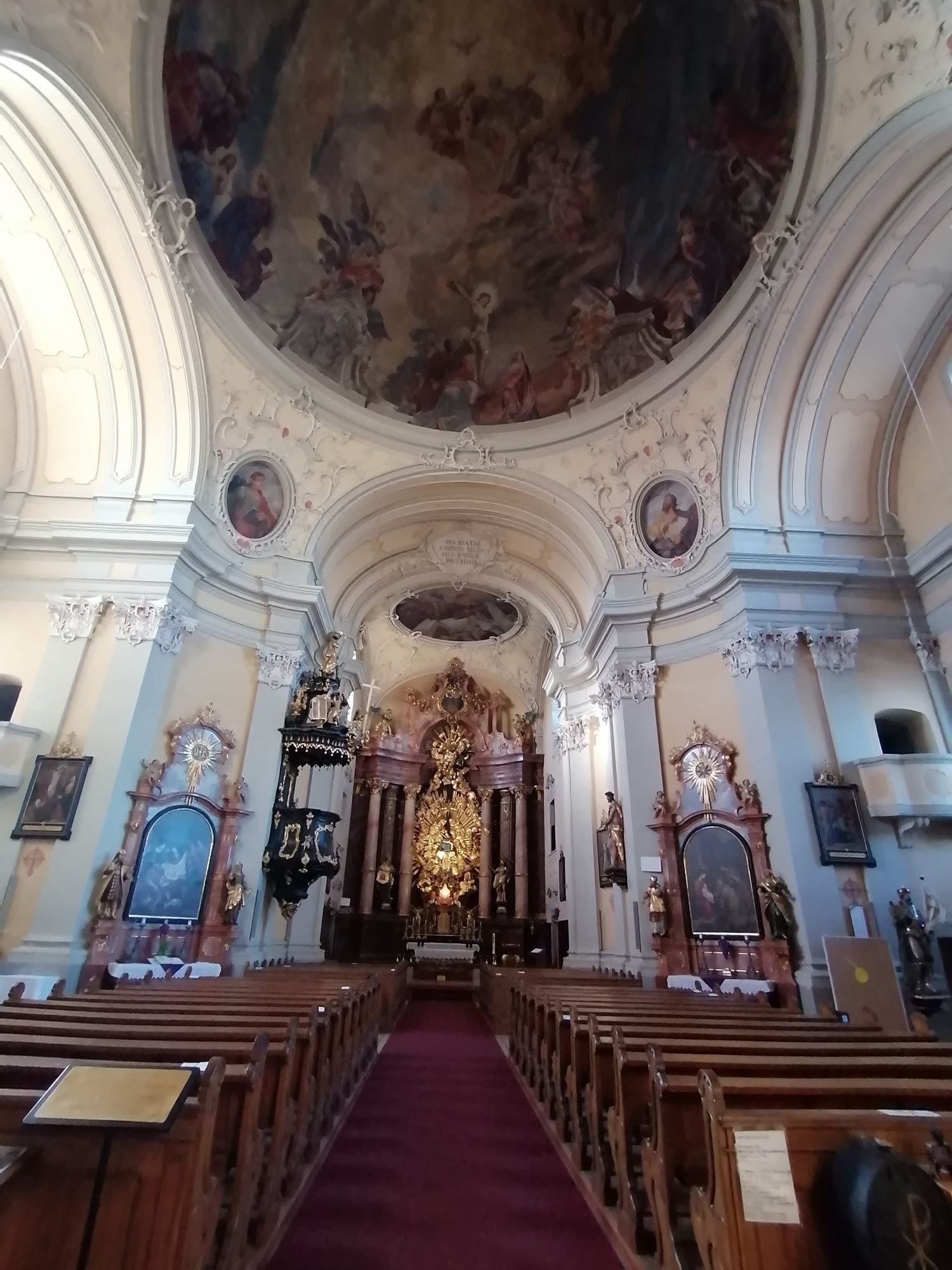
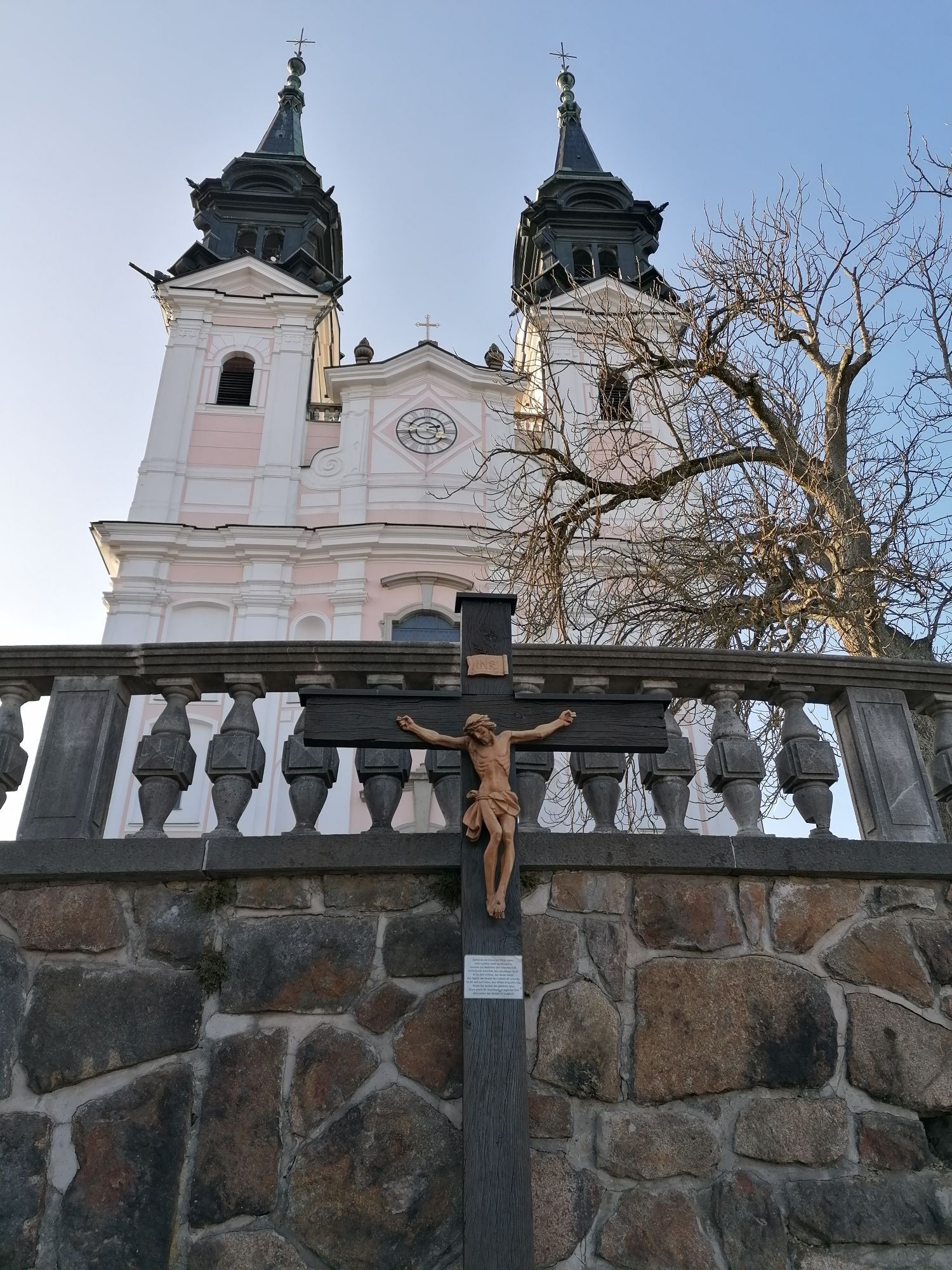
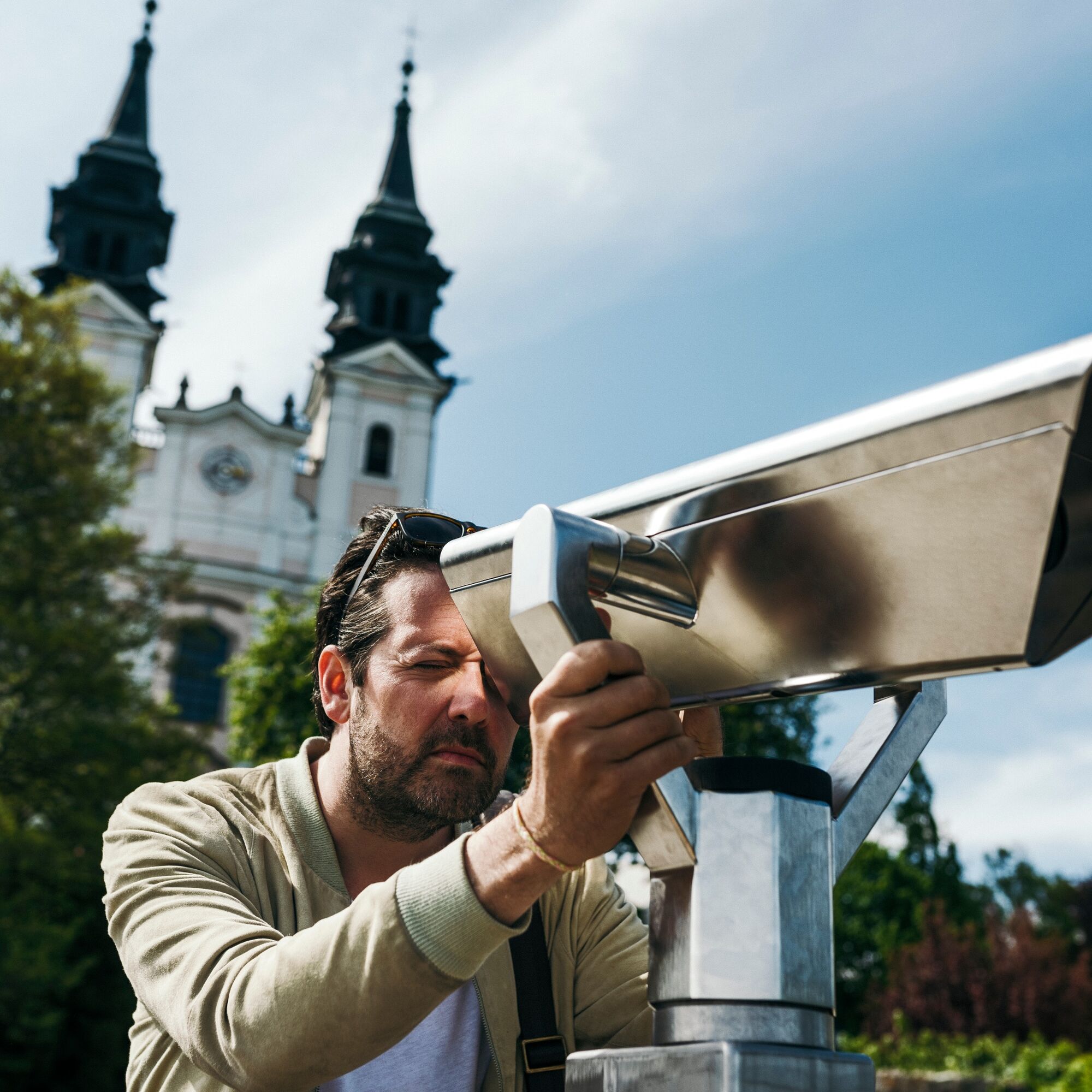
Los orígenes de la iglesia de Pöstlingberg datan del año 1716 y esta se convirtió en los años siguientes en un popular lugar de peregrinación.
Hoy la iglesia está atendida por la comunidad religiosa de las Oblatas de San Francisco de Sales (que consideran su trabajo como un servicio al prójimo y se dedican especialmente a la educación juvenil, como residencias para chicas, escuelas, jardines de infancia, enseñanza religiosa en escuelas públicas y misiones, y también como enfermeras).
Desde tiempos prehistóricos, las personas peregrinaban al Pöstlingberg, aunque entonces era a una grieta en la roca, que se encuentra en el sendero que parte del Collegium Petrinum (paralelo al actual Kreuzweg) en el bosque a aproximadamente 3/4 de la altura del Pöstlingberg. Allí se encuentran personas en todas las estaciones del año buscando tranquilidad o energía. Especialmente por la noche, cuando muchas velas iluminan la grieta con una Madonna y el bosque circundante, este lugar emana un misticismo especial. Frente a este sitio de culto brota una fuente curativa del suelo.
Si buscas un lugar sanador cerca del bullicioso ambiente urbano, ¡aquí estás en el lugar adecuado!
Absorbe la energía de este lugar con todos tus sentidos.
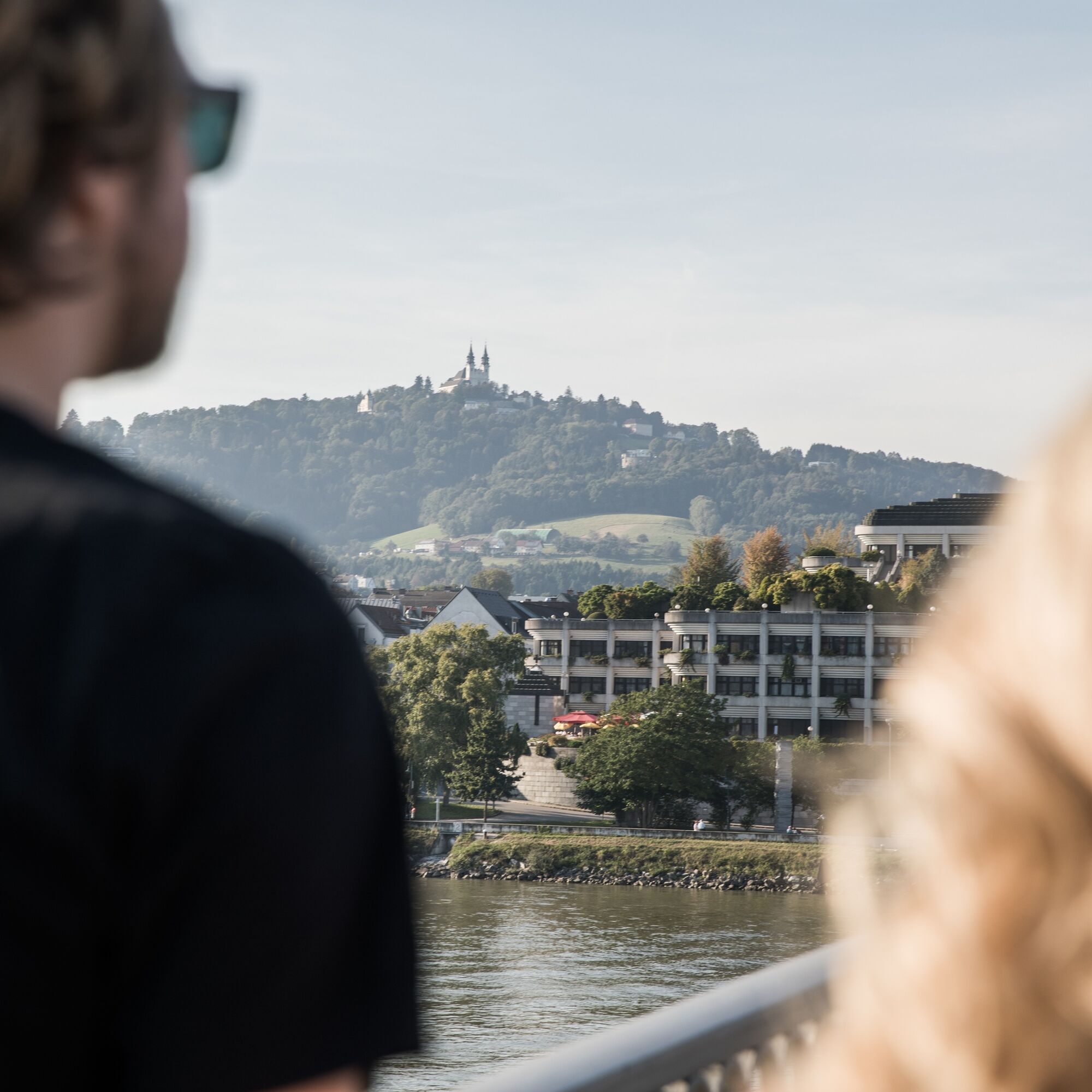
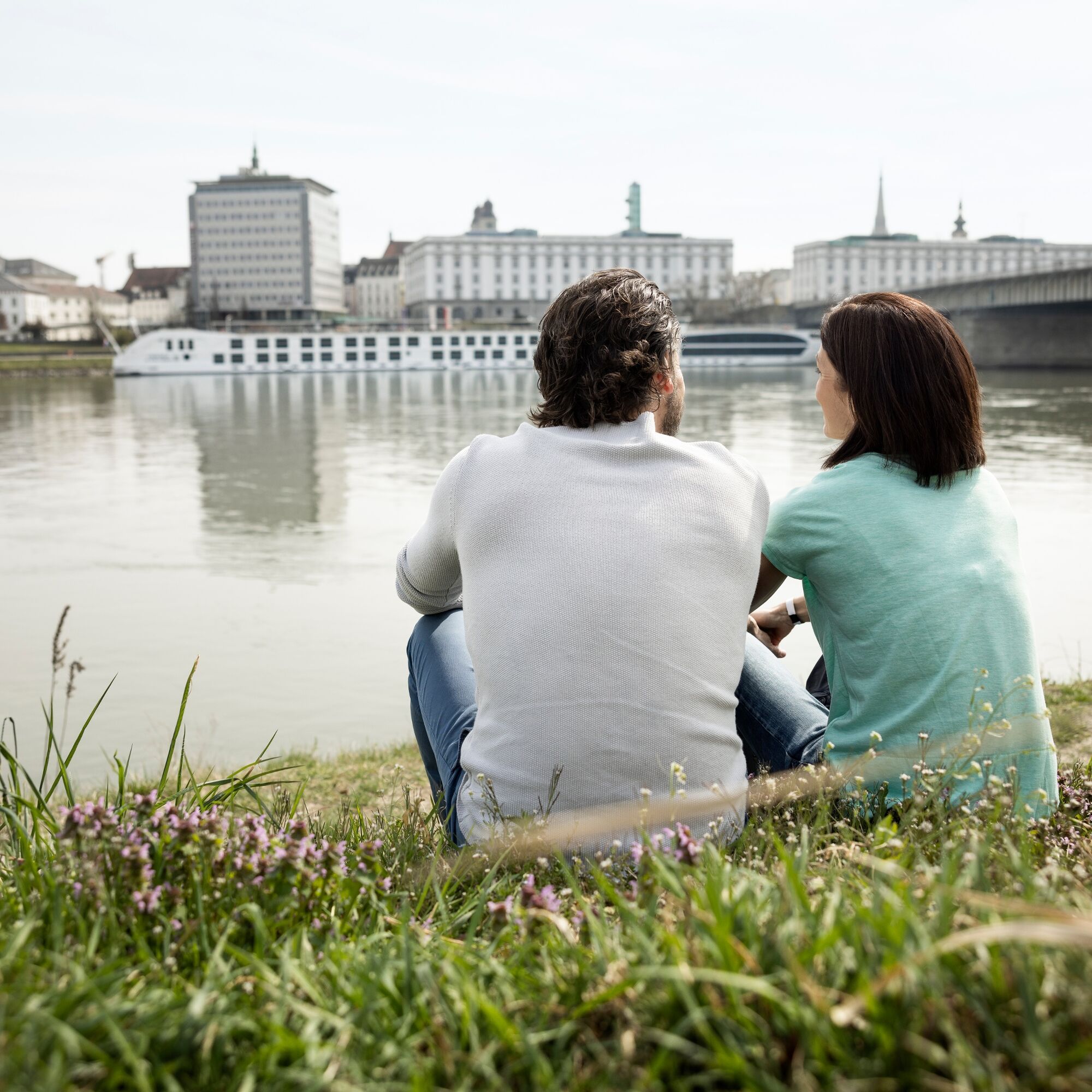
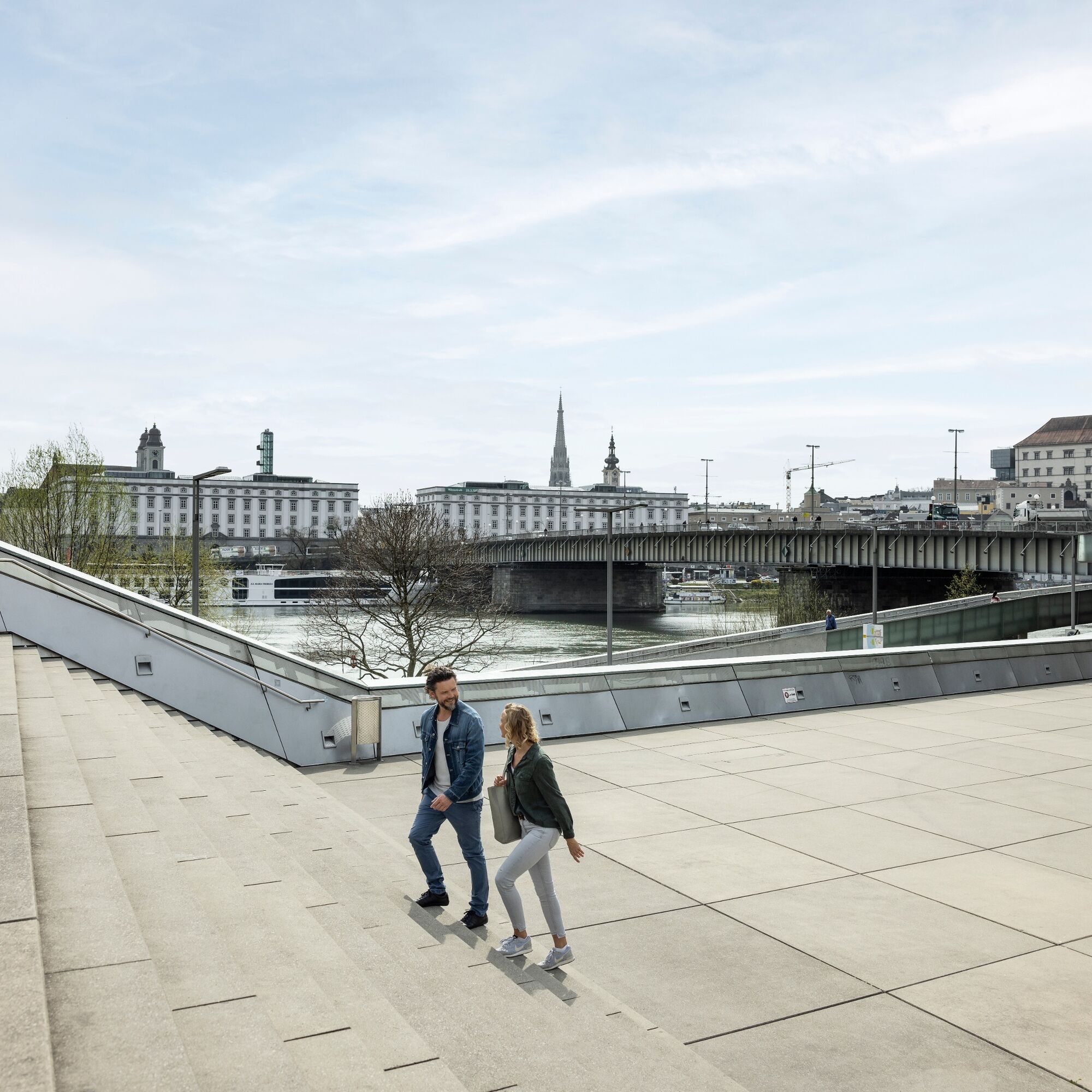

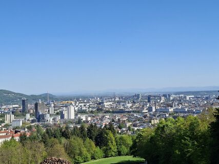
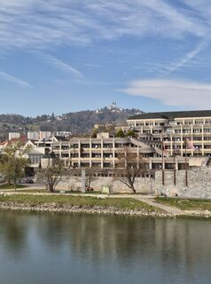
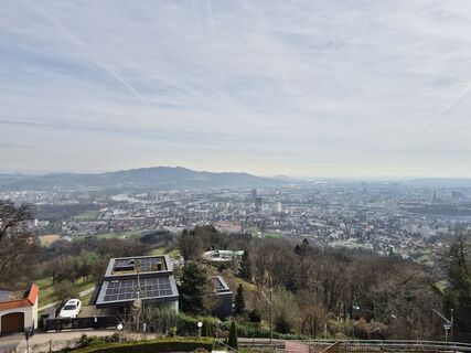
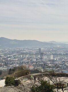
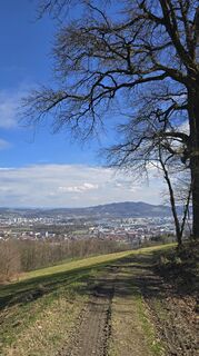
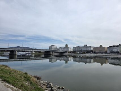
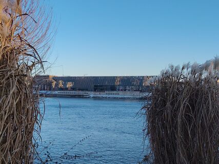
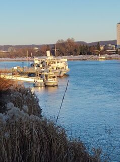
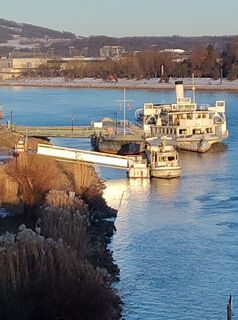
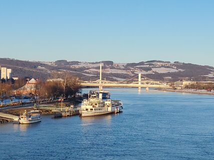
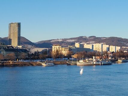
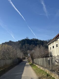
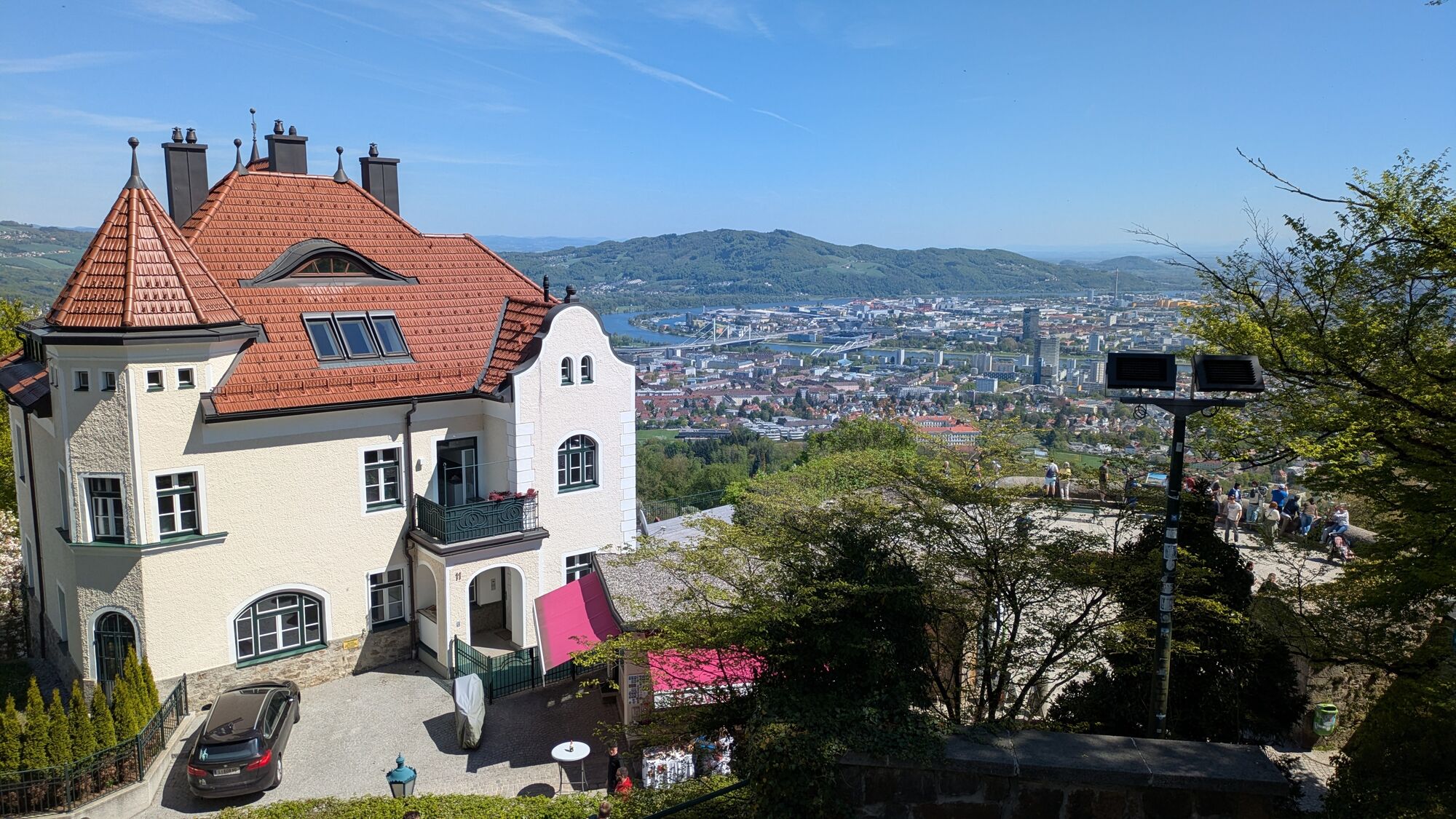
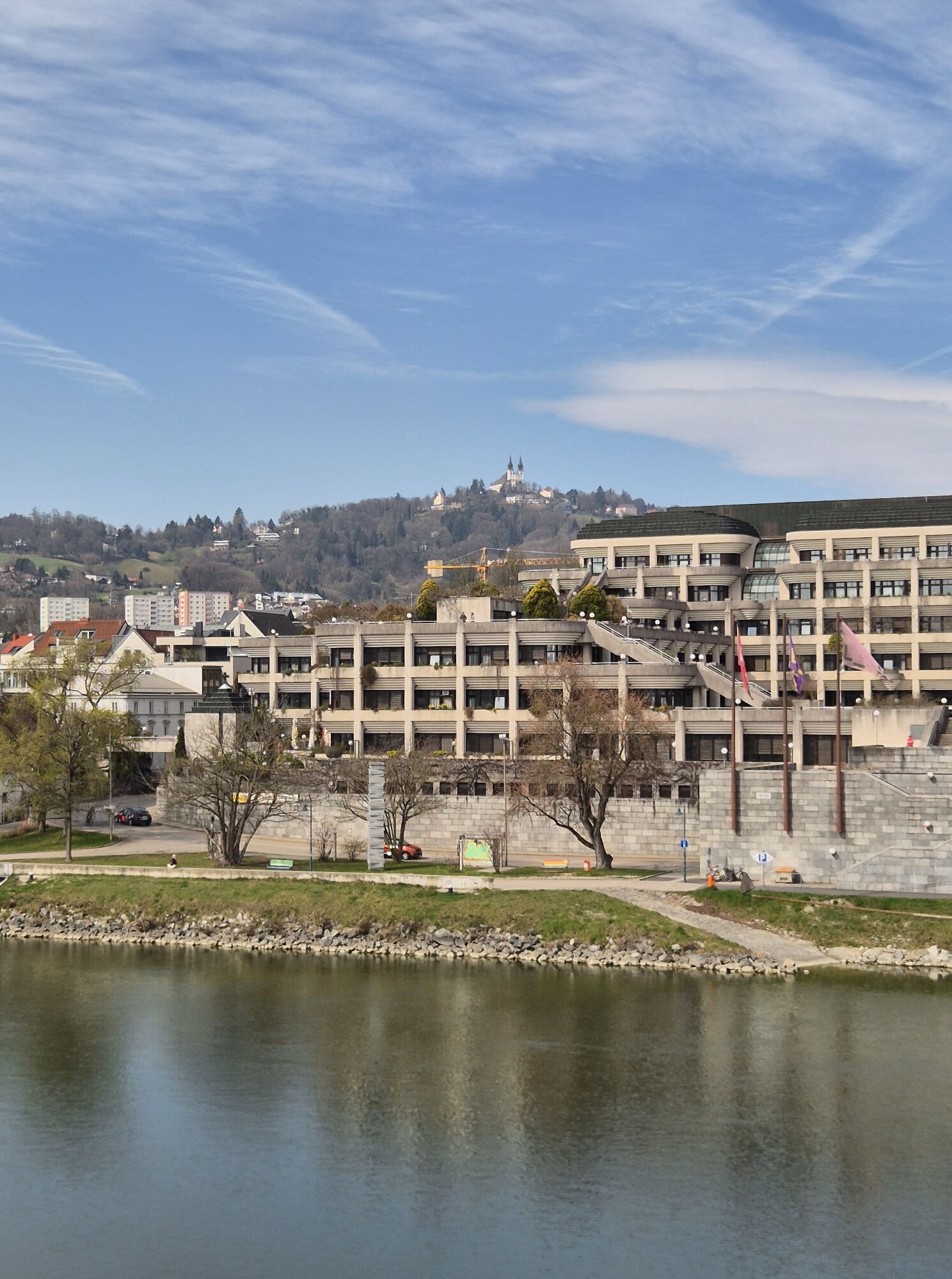
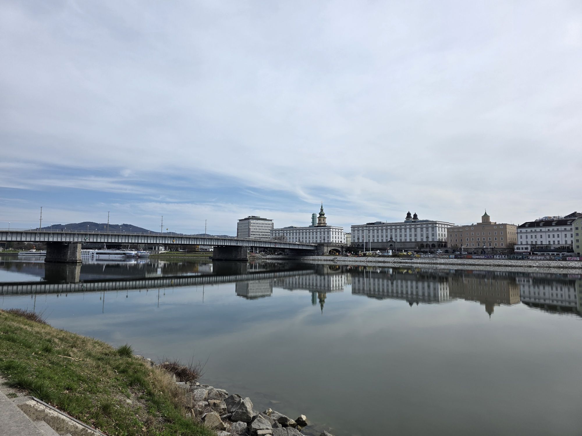
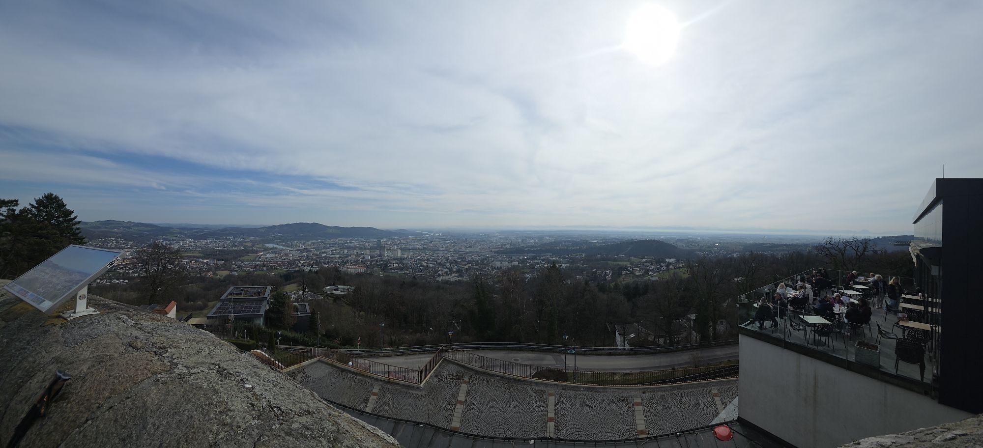
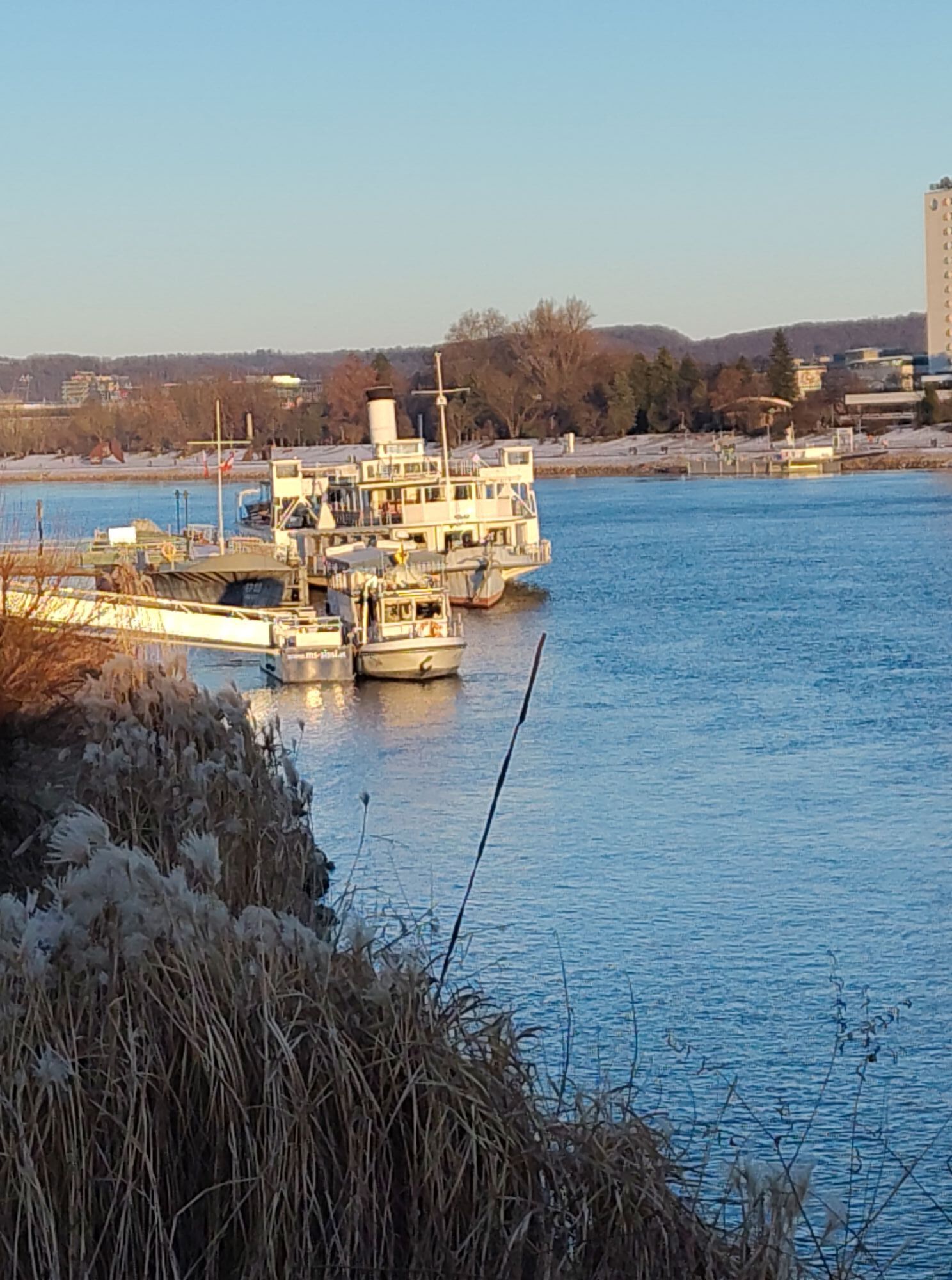
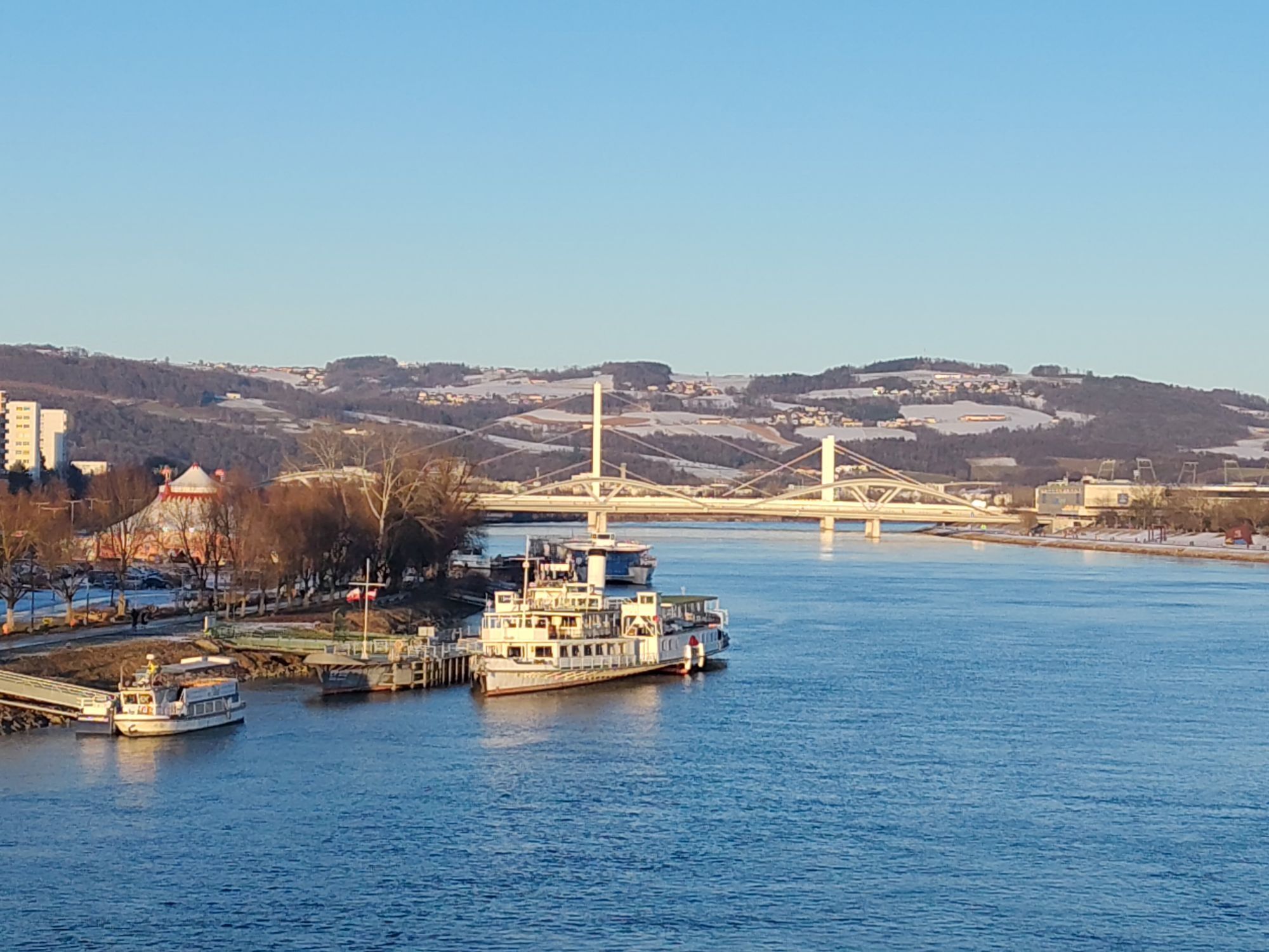
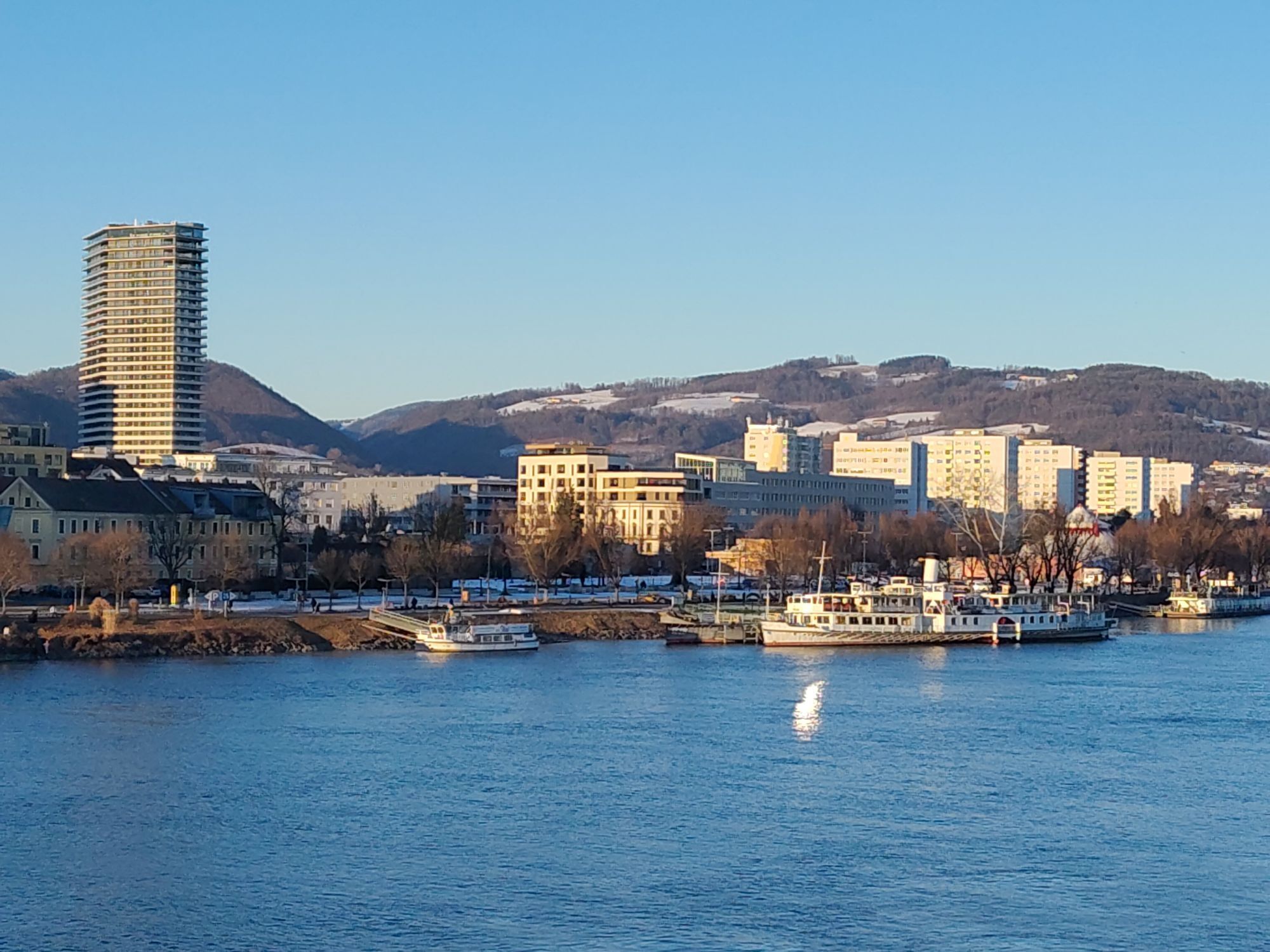
Desde el punto de partida tienes una hermosa vista del paseo cultural de Linz junto al Danubio:
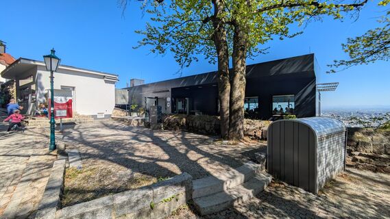
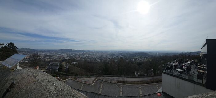
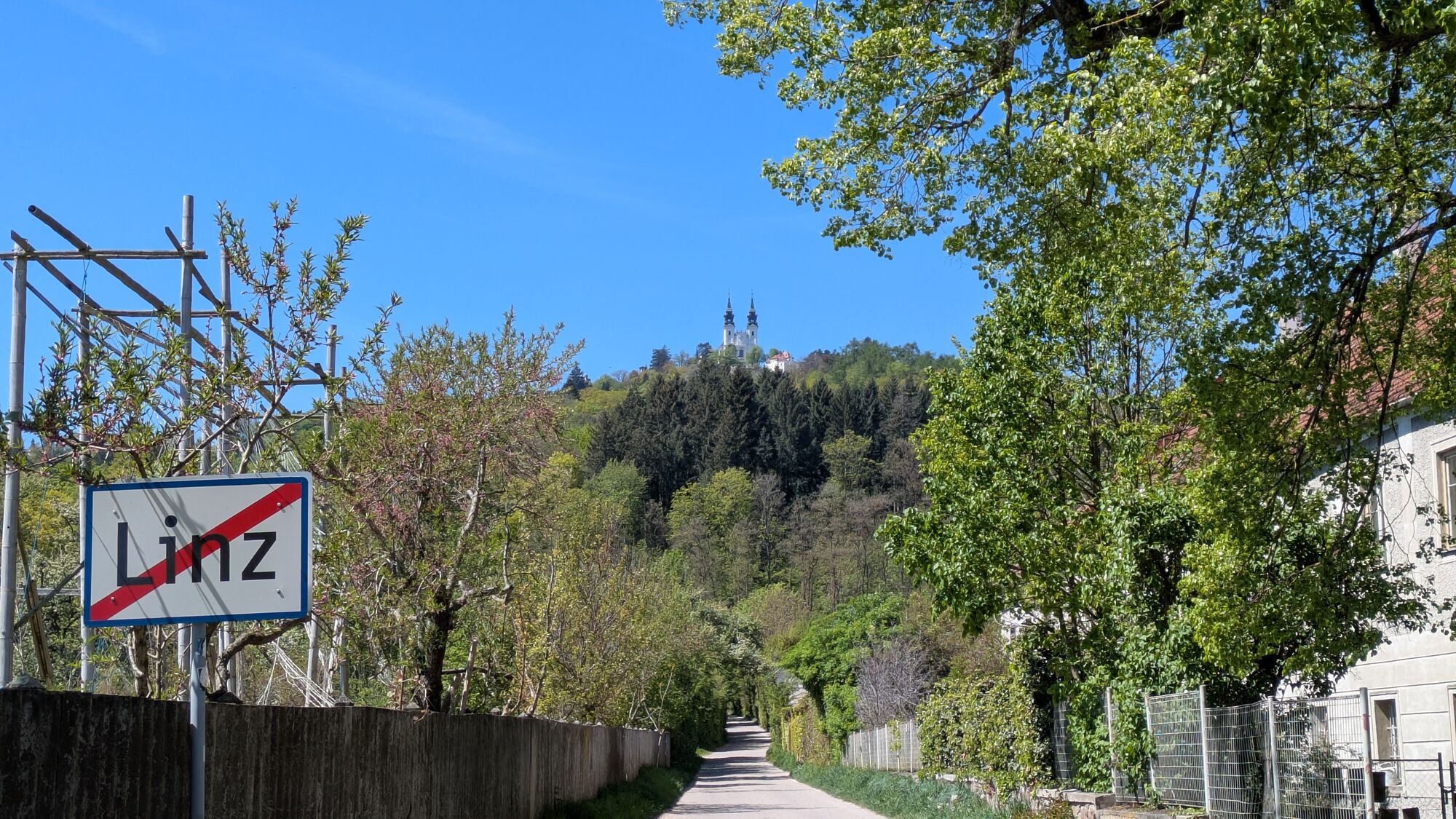
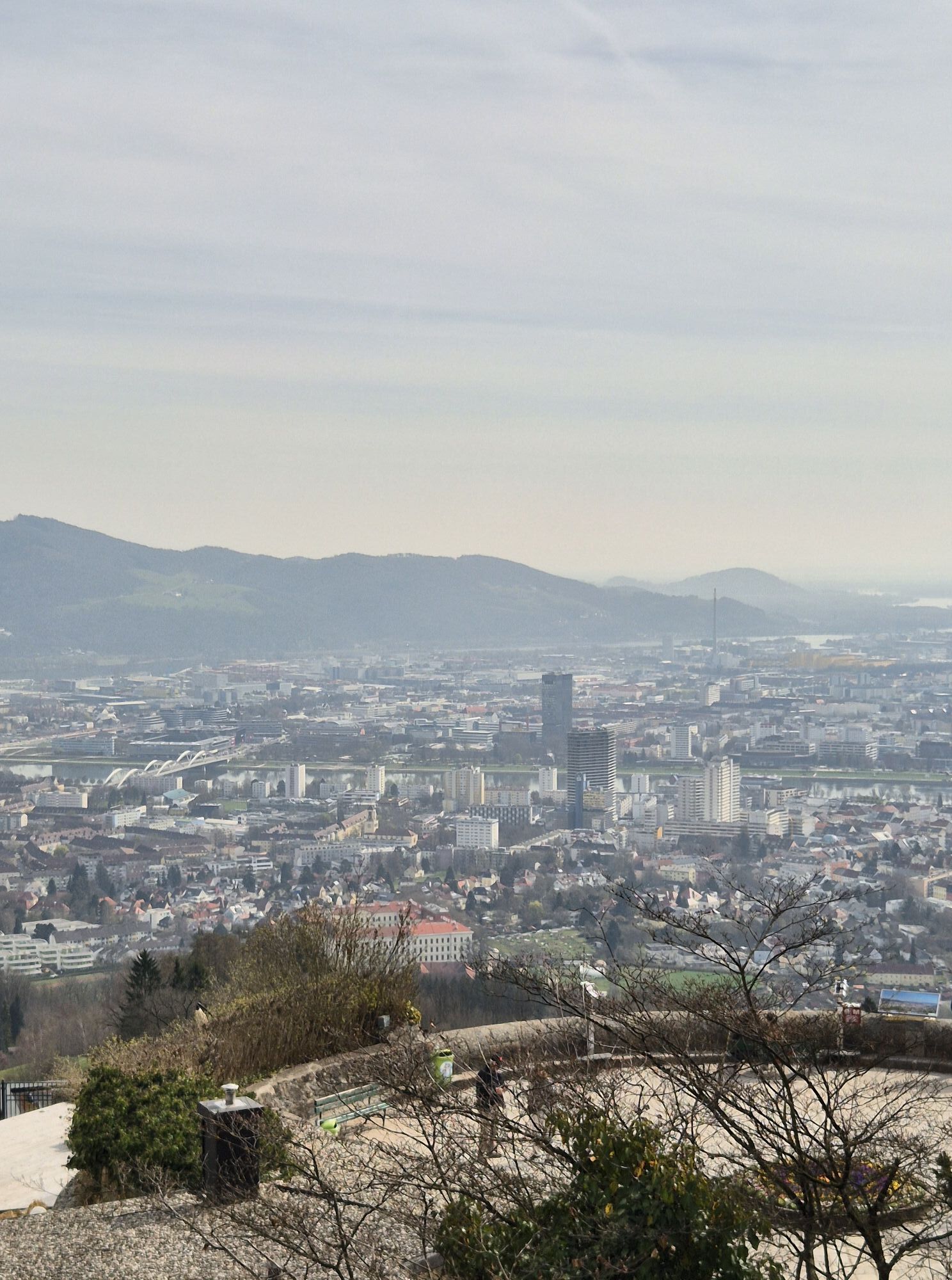
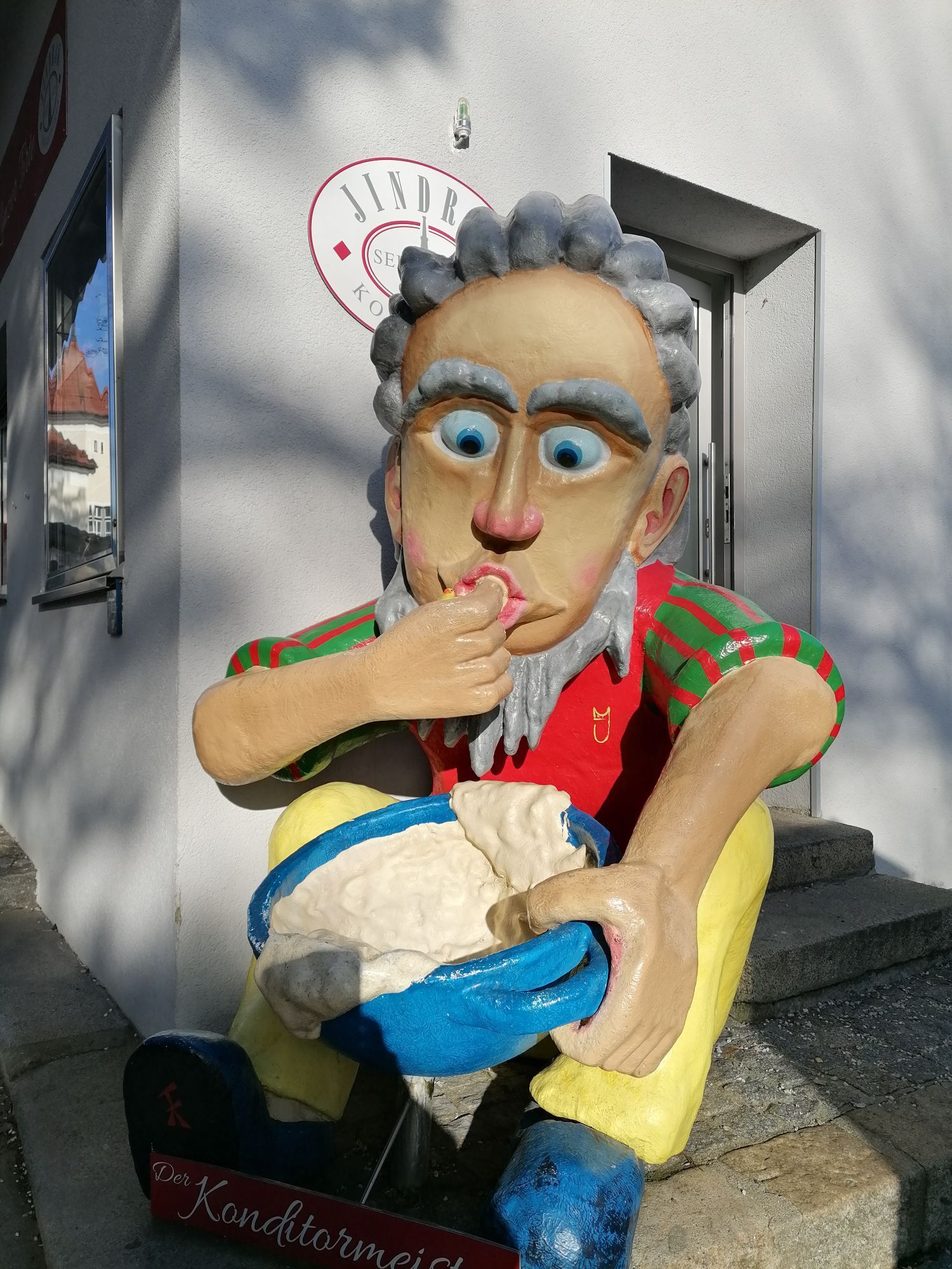
El Centro Ars Electronica, el Museo de Arte Lentos de Linz, la Casa de Conciertos Bruckner y el Castillo de Linz con la nueva ala sur. Caminas junto al AEC, pasando bajo el puente, pasando el Nuevo Ayuntamiento y llegando a la calle superior junto al Danubio. Por la Talgasse y la Berggasse llegas a un punto donde cruzas el recorrido del Pöstlingbergbahn. Desde Hohe Straße, giras a la izquierda por el Schablederweg, mayormente junto a las vías del Pöstlingbergbahn. Después de unos 200 metros puedes girar a la izquierda hacia Hohe Straße donde encontrarás el zoológico de Linz. Si te mantienes en Schablederweg, llegarás al Pöstlingberg (537 m). La "Experiencia Pöstlingberg" incluye además del zoológico y el funicular Pöstlingbergbahn, el Grotto Bahn con su mundo de cuentos de hadas único, la basílica barroca de peregrinación y el jardín de rosas. La vista desde el mirador panorámico abarca la ciudad de Linz y, con buen tiempo, hasta las estribaciones de los Alpes. Por el empinado Kreuzweg llegas al Collegium Petrinum. El gimnasio episcopal fue construido a finales del siglo XIX. Luego continúas por Leisenhofstraße, Doppelbauerweg y Rosenauerstraße hasta la calle principal, que te lleva de regreso al área de descanso frente al Centro Ars Electronica. Desde aquí también puedes explorar directamente el Hauptplatz y el casco antiguo de Linz cruzando el puente Nibelungen.
Sí
Mochila de senderismo (incluida funda para lluvia), calzado resistente
desde Salzburgo y Viena por la autopista oeste A1, salida Linz/Centro
desde Graz por la autopista Phyrn A9 a la autopista oeste A1, salida Linz/Centro desde Praga, Freistadt por la autopista Mühlkreis A7,
salida Linz/Hafenstraße
Tren: desde Salzburgo, Viena, Passau, Graz, Praga -> estación central de Linz,
información de trenes: Tel.inz - Schönering, Linz - Hitzing)
Transporte público en Linz:
operado por Linz AG
desde Regensburg, Passau por la autopista Innkreis A8 a la A1, salida Linz/Centro o libre de peaje a lo largo del Danubio por la B127.
Barco: barcos del Danubio desde Passau y Viena
Compañía de navegación Wurm + Köck
Avión: El aeropuerto "Blue Danube Airport" está al suroeste de Linz (fuera de la ciudad).
Estación central de Linz (Westbahn), estación Mühlkreis, tranvía líneas 1, 2 o 3 parada Rudolfstraße, Pöstlingbergbahn (línea 50)
Gran aparcamiento en el recinto de la feria Urfahr, a unos 10 minutos a pie del Hauptplatz
Información turística Linz
Hauptplatz 1
4020 Linz
Tel.: 0043(0)732-7070-2009
Fax: 0043(0)732-7070-542009
tourist.info@linz.at
www.linz-tourismus.info y www.linz.at/tourismus
http://www.linz.at/images/Stadtwanderwege-net.pdf
Este recorrido te lo presenta la región turística del Danubio Alta Austria
Actividades a lo largo del recorrido

Rutas populares en los alrededores
-
4,7
Prinzensteig Rundweg
luzSenderismo 13,7 km -
4,7
Steyregg Donau-Höhen-Rundwanderweg Pulgarn - Hohenstein (und zurück)
luzSenderismo 7 km -
4,7
Steyregg Pfenningberg-Gipfelwanderweg
medioSenderismo 4 km -
4,4
Ottensheim: sendero panorámico del Danubio
medioSenderismo 8,14 km -
5,0
Steyregg AV 50 Plesching - GH Daxleitner
luzSenderismo 4 km -
4,1
Auseeweg in Luftenberg an der Donau
luzSenderismo 9,96 km -
4,1
Kürnbergwald - kurzer Rundwanderweg
luzSenderismo 9,46 km -
5,0
Steyregg 3 Buchen Weg
medioSenderismo 8 km -
4,9
Kreuzweg auf den Pöstlingberg Linz, Österreich
luzSenderismo 1,30 km -
4,5
Gramastetten: Ruta de 3 arroyos - 4 montañas
Senderismo 15,4 km
Senderismo y rastreo


No se pierda las ofertas y la inspiración para sus próximas vacaciones
Su dirección de correo electrónico se ha añadido a la lista de correo.