






Winter hiking on the Elsbeerweg Laaben
The service tree is a rare wild fruit tree that can live up to 300 years. Its fruits are processed into true culinary delights in numerous inns of the region. See for yourself! The harvest of the service...
<p>The service tree is a rare wild fruit tree that can live up to 300 years. Its fruits are processed into true culinary delights in numerous inns of the region. See for yourself! The harvest of the service tree takes place in October. From November to February, the tree is therefore bare. From March, the first buds appear.</p>

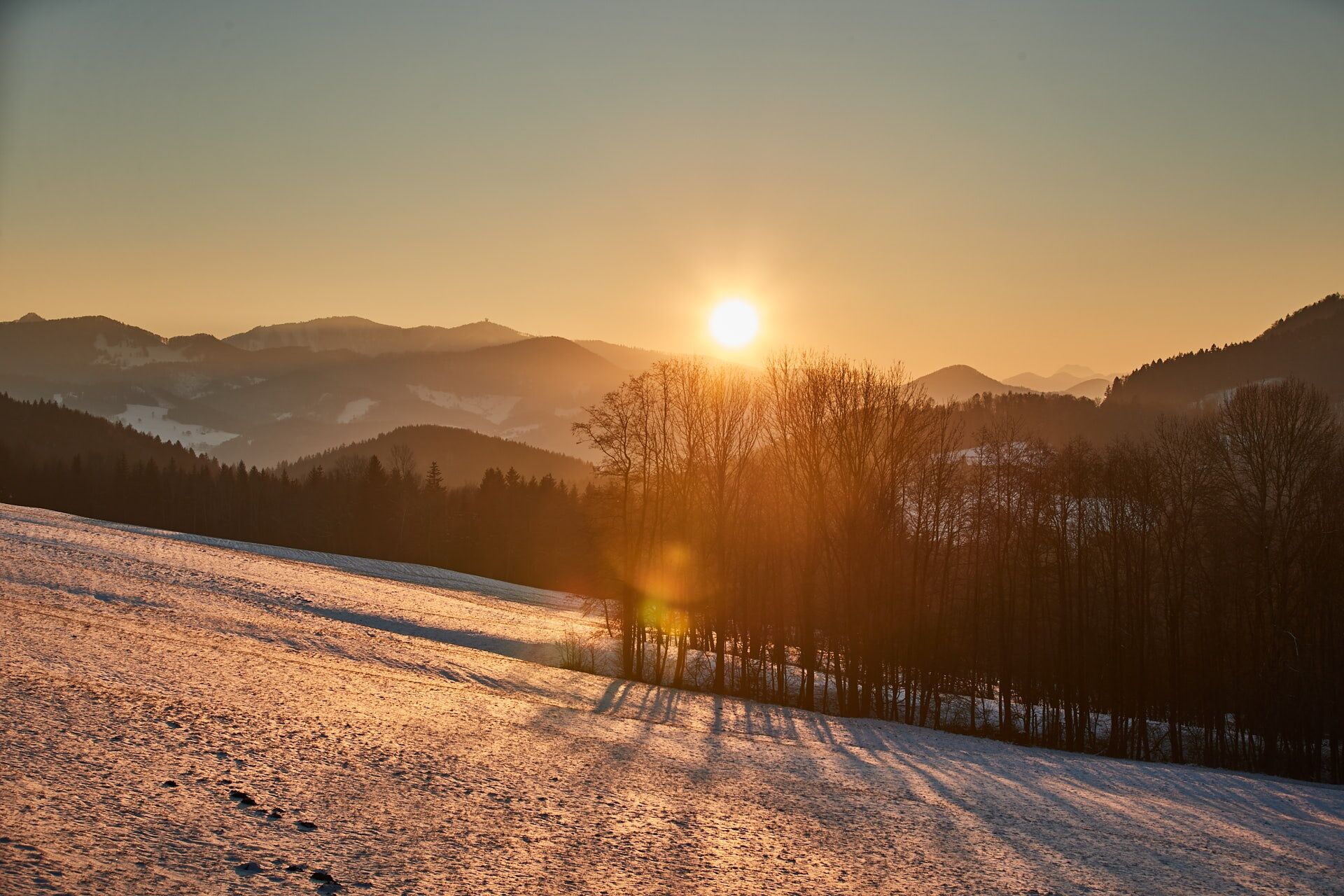


<p>We start our route at the Municipal Office Laaben heading west, cross the Laabenbach, and then turn right onto the second street. For about 300 m, we use the Laabental cycle path. Afterwards, we go left uphill over a forest and meadow path to the hamlet Pirat. In the middle of the forest, we reach the long-distance path 04 and follow it until shortly after a farm. On a paved private road, we come down again to the state road, where we turn right towards Brand. In Brand, we turn onto Kirchenweg opposite the church and follow it. Passing the tennis court and the chapel St. Florian (a nice rest spot), a beautiful shady path leads us beside the stream back into the village.<br />Please be careful in the forest, as icy patches may form because of the cold.</p>
<p>sturdy footwear, rain jacket, drink, and backpacks with personal important utensils</p>
<p>Despite the most careful research, unforeseeable short-, medium-, or even long-term closures of the routes (e.g. due to forestry closures by landowners) may occur. Parking options recommended by us can partly be private or subject to fees – please pay attention to the signage on site. Some paths may partly or entirely pass through fee-charging businesses/areas (e.g. nature parks or gorges). All information is provided without guarantee and use of the paths is at your own risk. Any path closures as well as notices from hunting and landowners must be observed.</p>
Wienerwald Tourismus GmbH
Hauptplatz 11, 3002 Purkersdorf
Tel.: 02231/62176
E-Mail: office@wienerewal.info
Website: www.wienerwald.info
Rutas populares en los alrededores
-
4,7
Schöpfl
luzSenderismo 9,52 km -
4,6
Panorama hike Hafnerberg
luzSenderismo 8,78 km -
4,0
Schöpfl von Sankt Corona
medioSenderismo 10,1 km -
4,2
Hainfelder Hütte: Schöner Rundkurs abseits der Massen
luzSenderismo 10,1 km -
4,0
Kaumberg Höfnergraben Hocheck Rotes Kreuz Forellenhof retour 07.05.2014
luzSenderismo 9 km -
4,4
Hegerberg
luzSenderismo 8,06 km -
4,6
Tut Gut Wanderweg Pressbaum 3
medioSenderismo 12,5 km -
4,2
INNERMANZING Schoderleh Falkensteiner Htt. Hasenriegel Forsthof Edhof ret. 20230114
luzSenderismo 13,1 km -
4,9
3-Kirchen-Rundwanderweg
Senderismo 10,2 km -
4,7
Schöpfl von Kammhöhe aus
luzSenderismo 13,2 km
Senderismo y rastreo


No se pierda las ofertas y la inspiración para sus próximas vacaciones
Su dirección de correo electrónico se ha añadido a la lista de correo.





