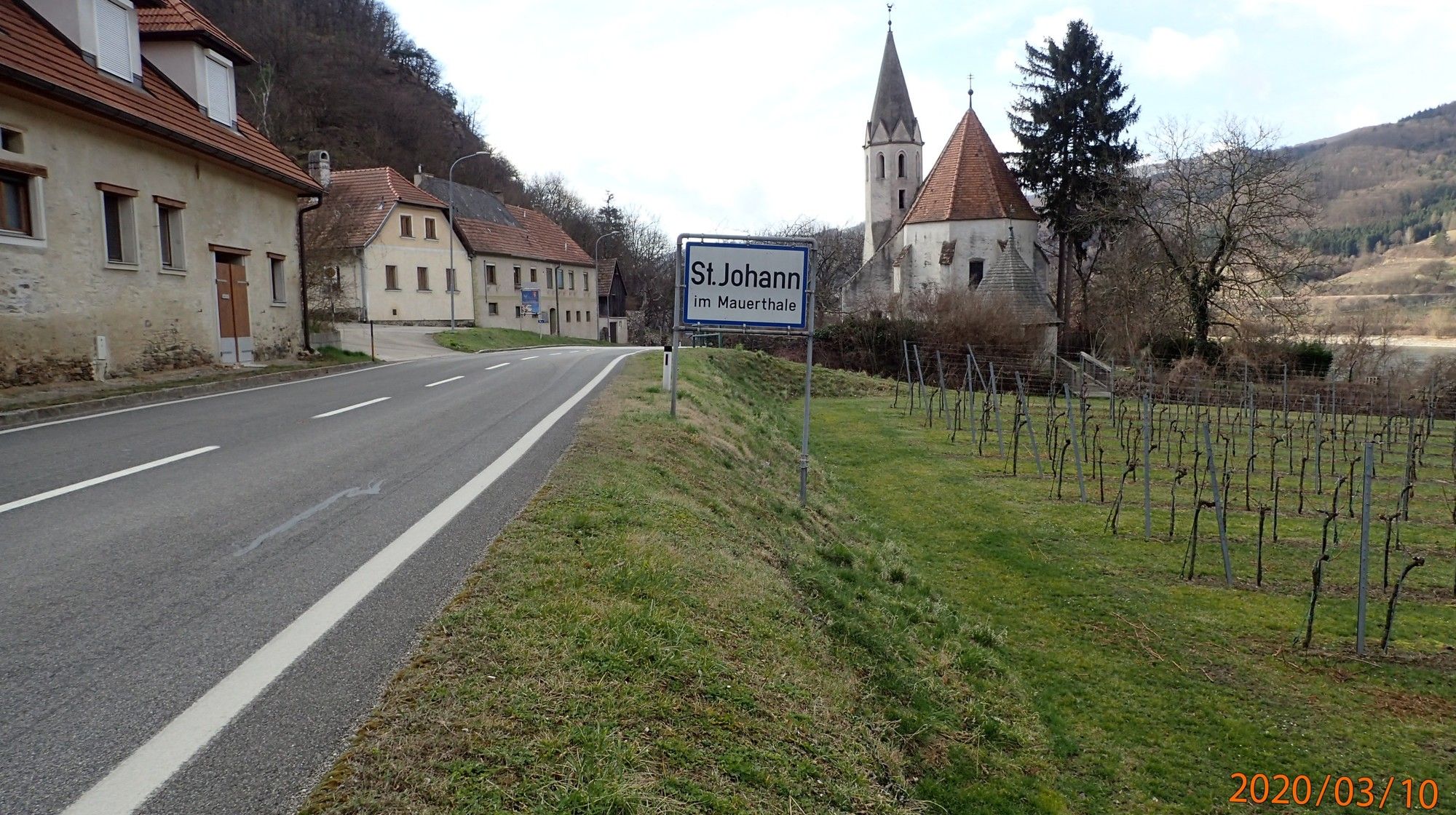
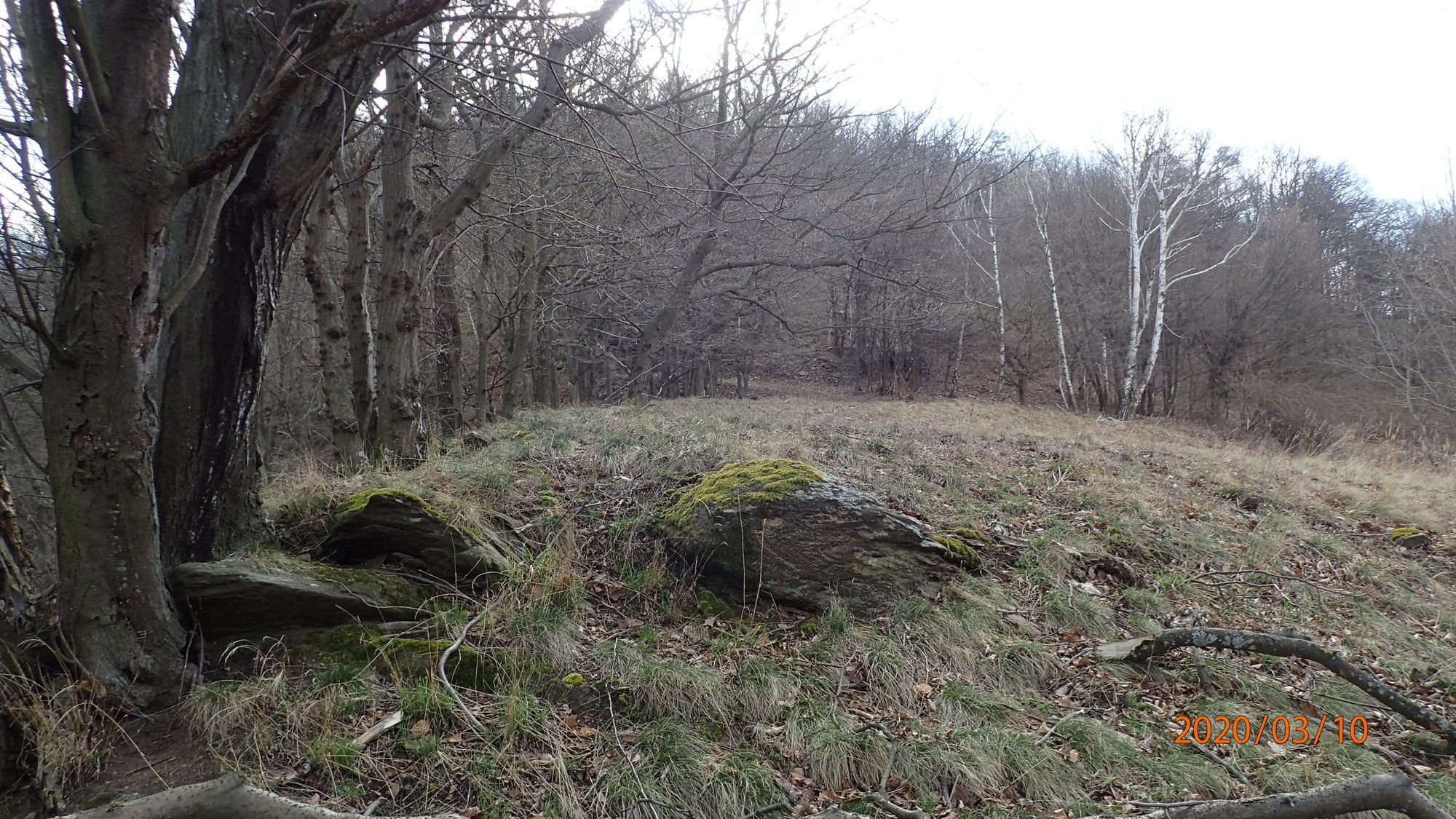
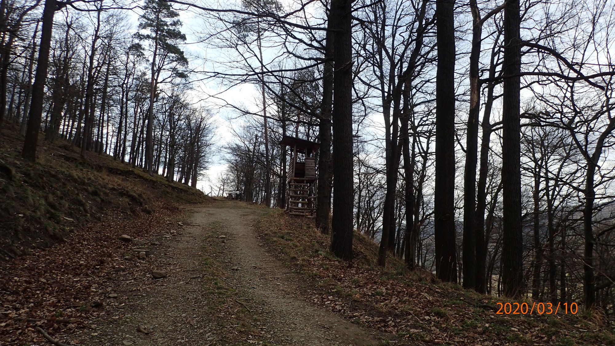
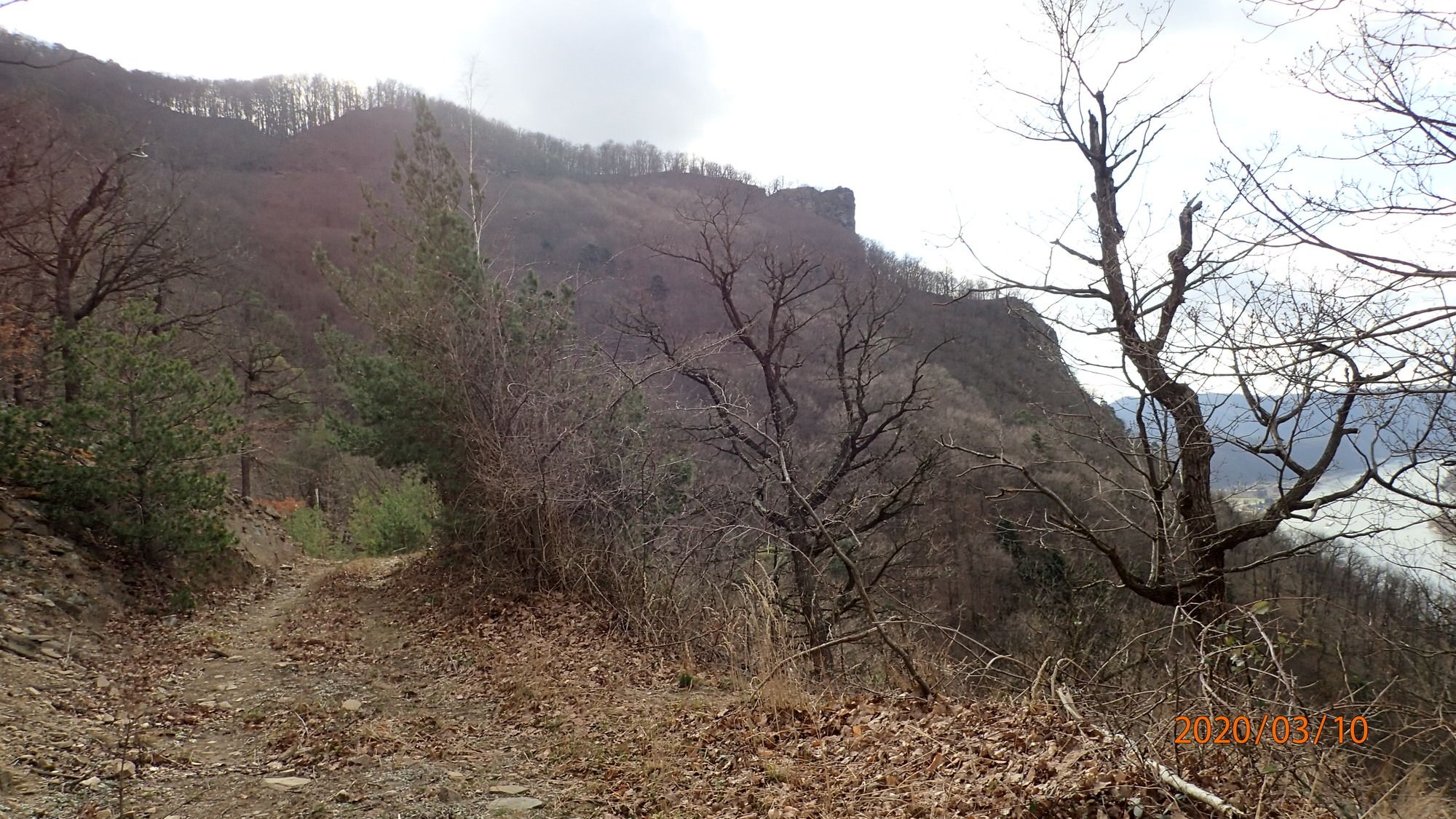
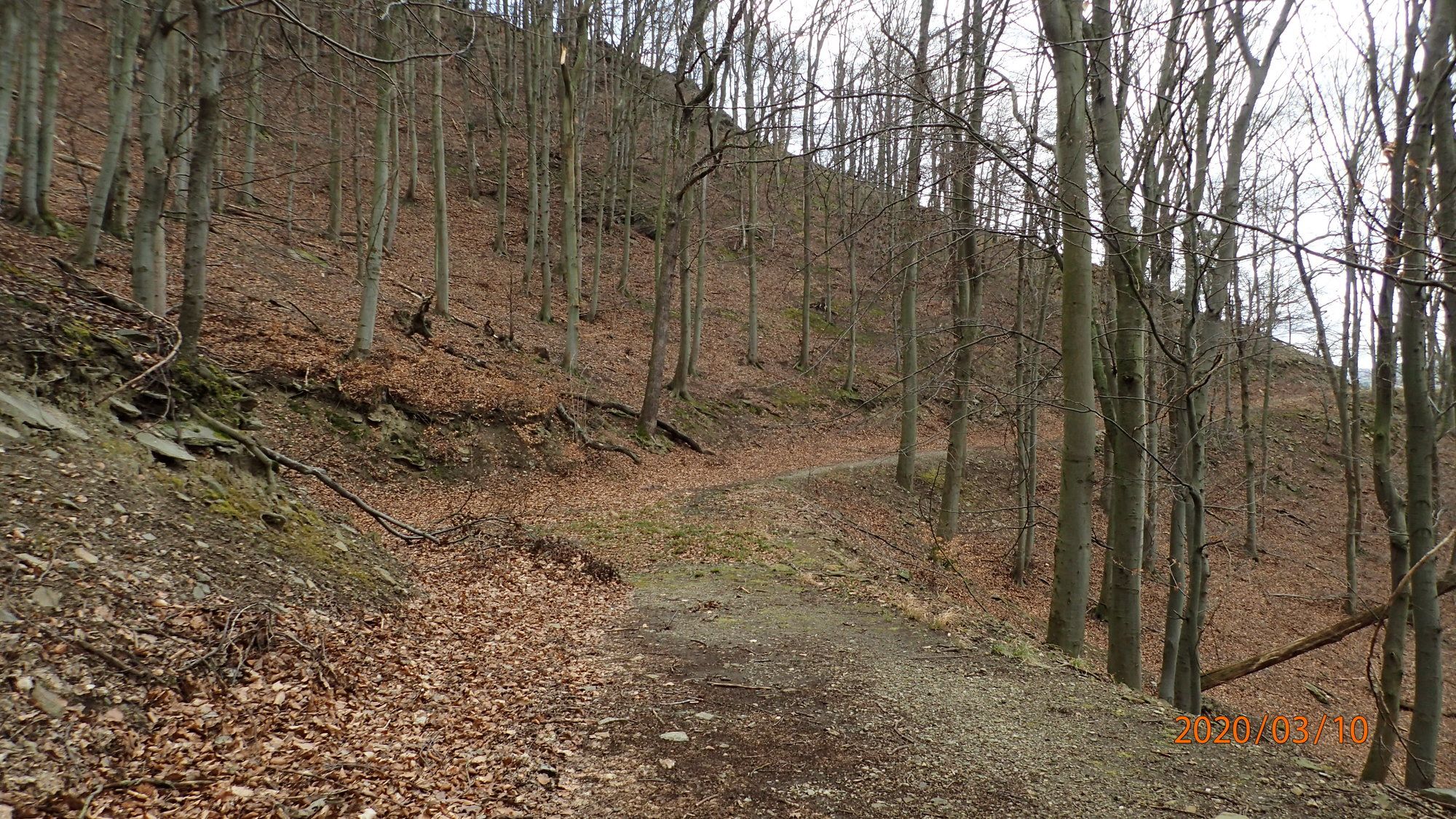
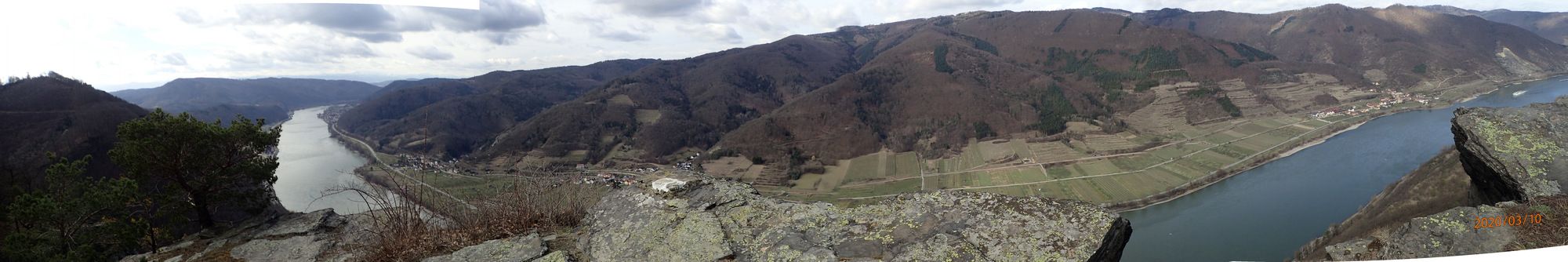
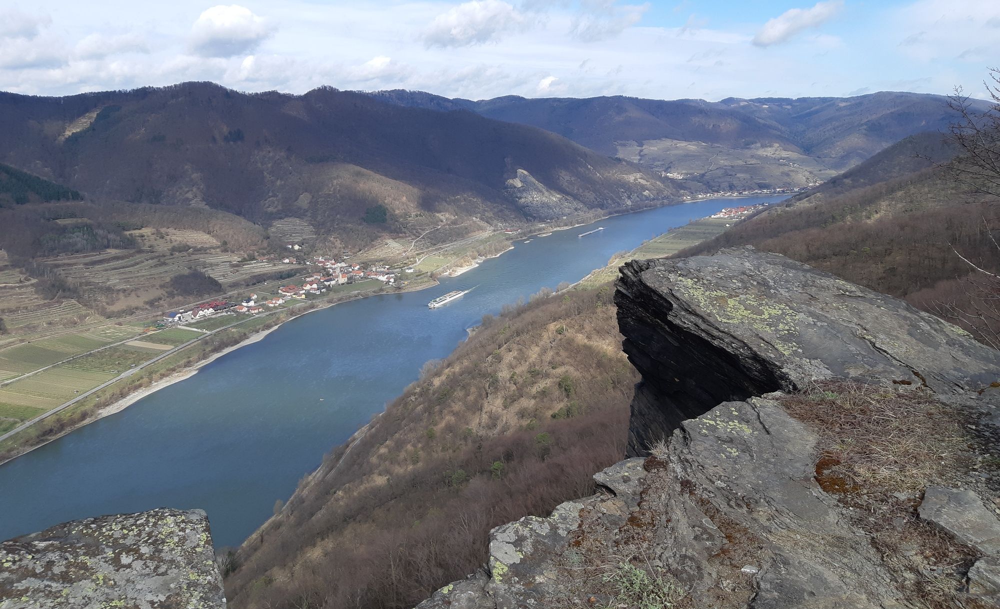
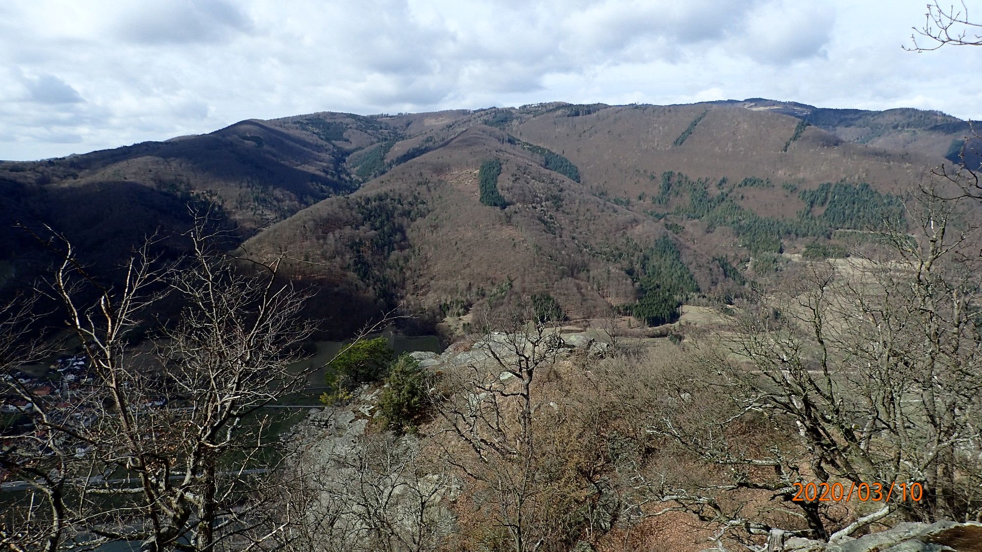
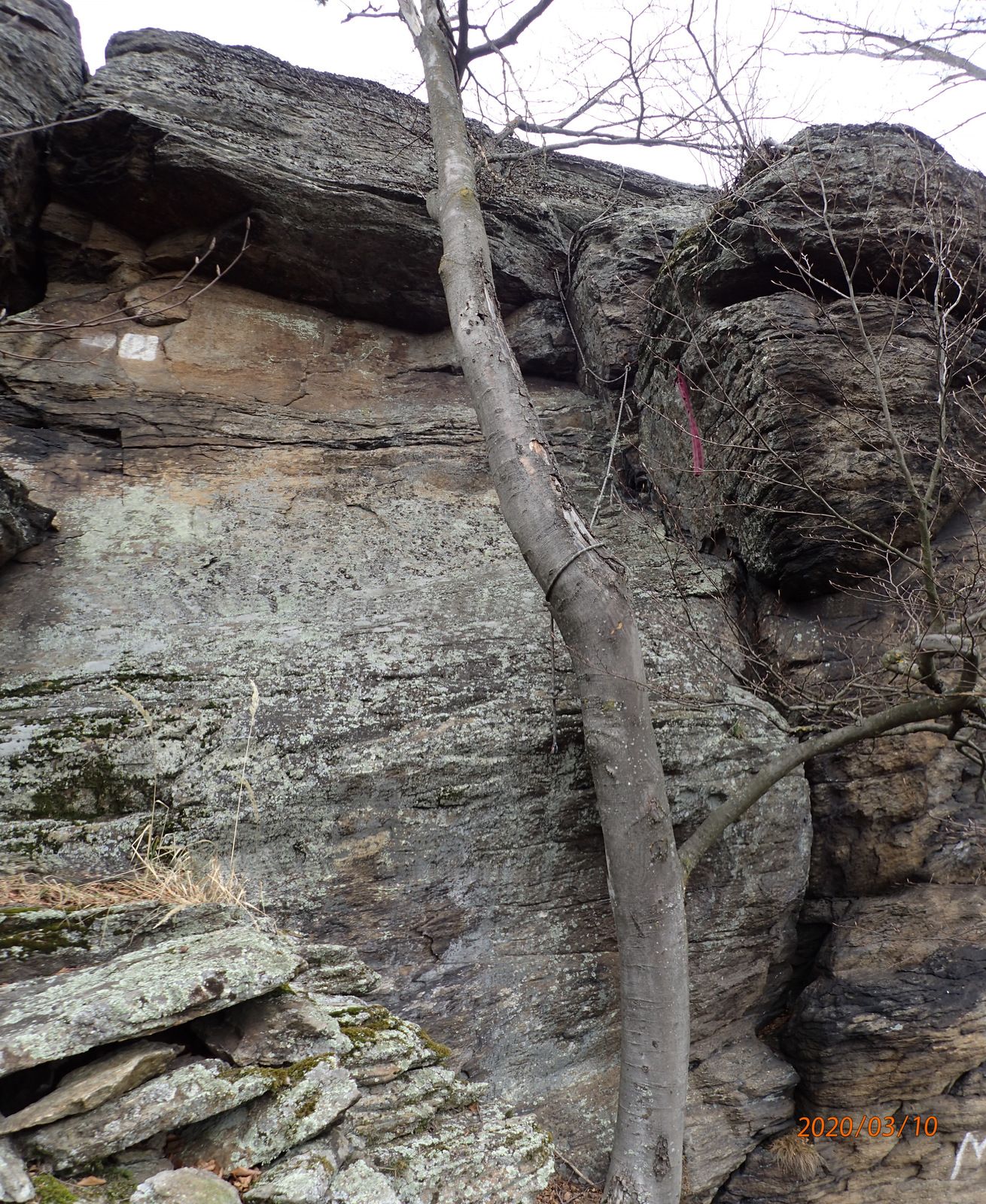
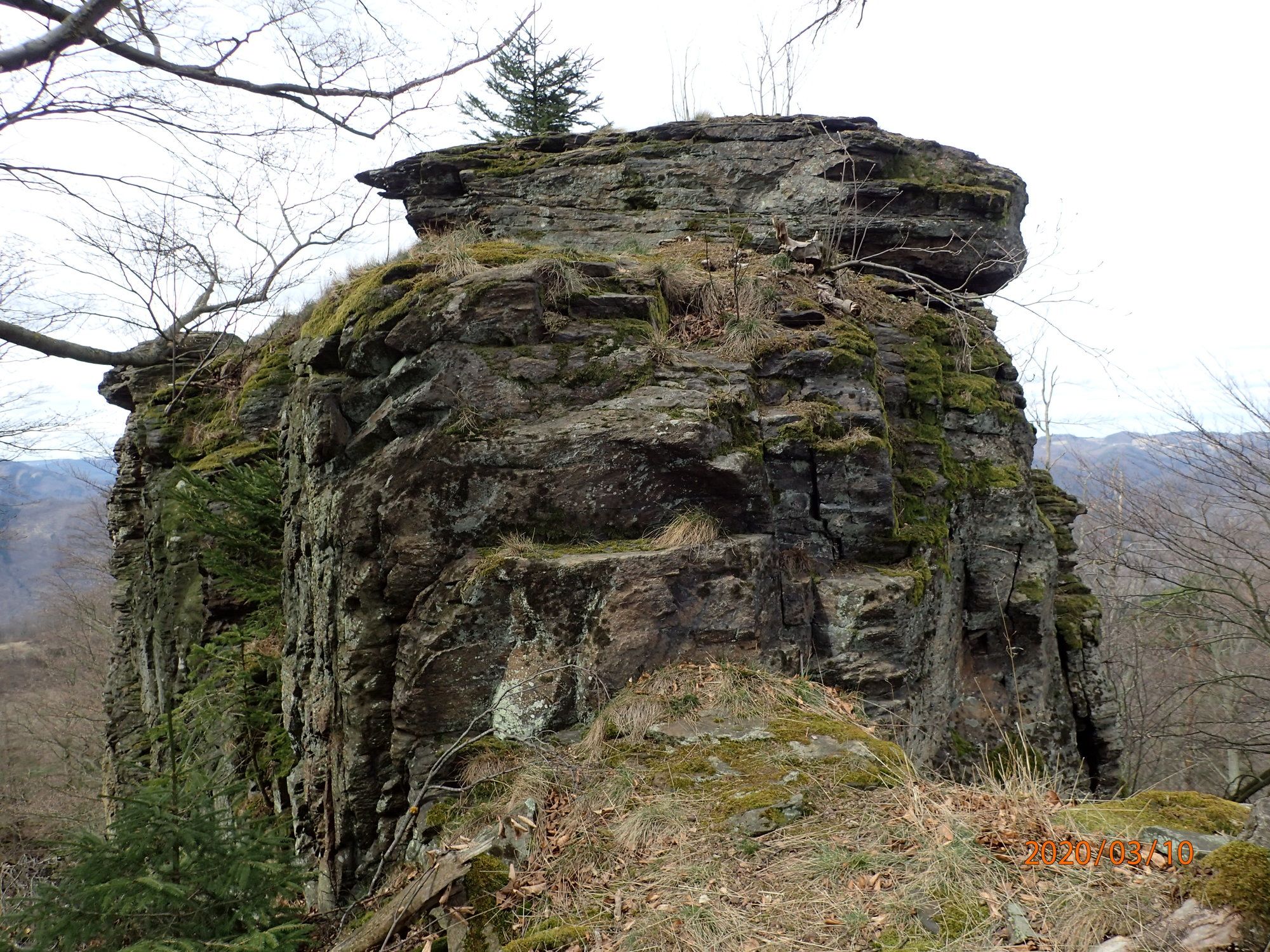
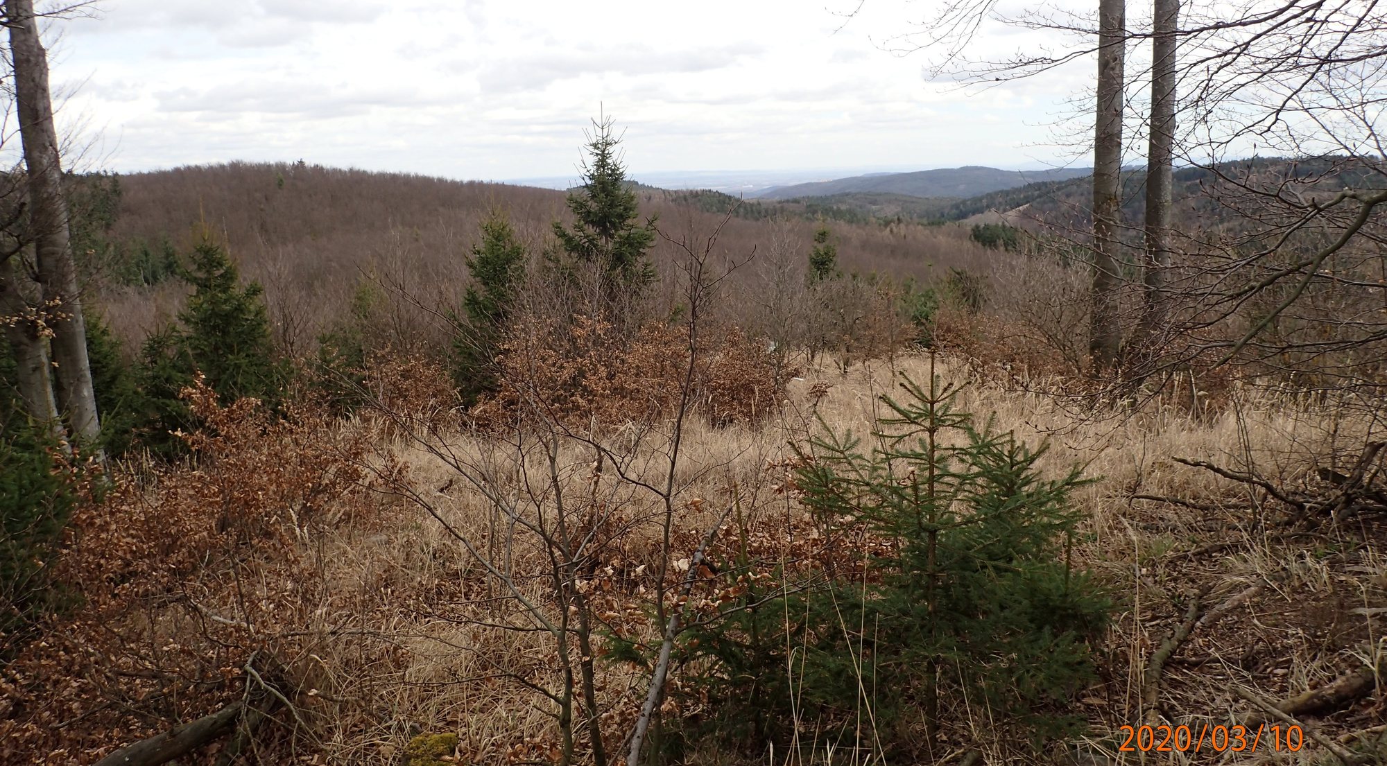
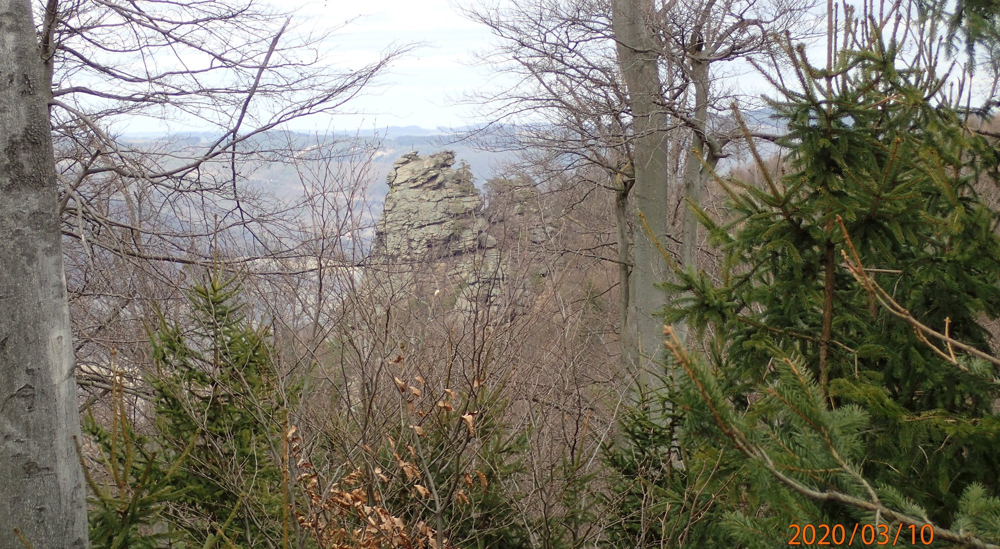
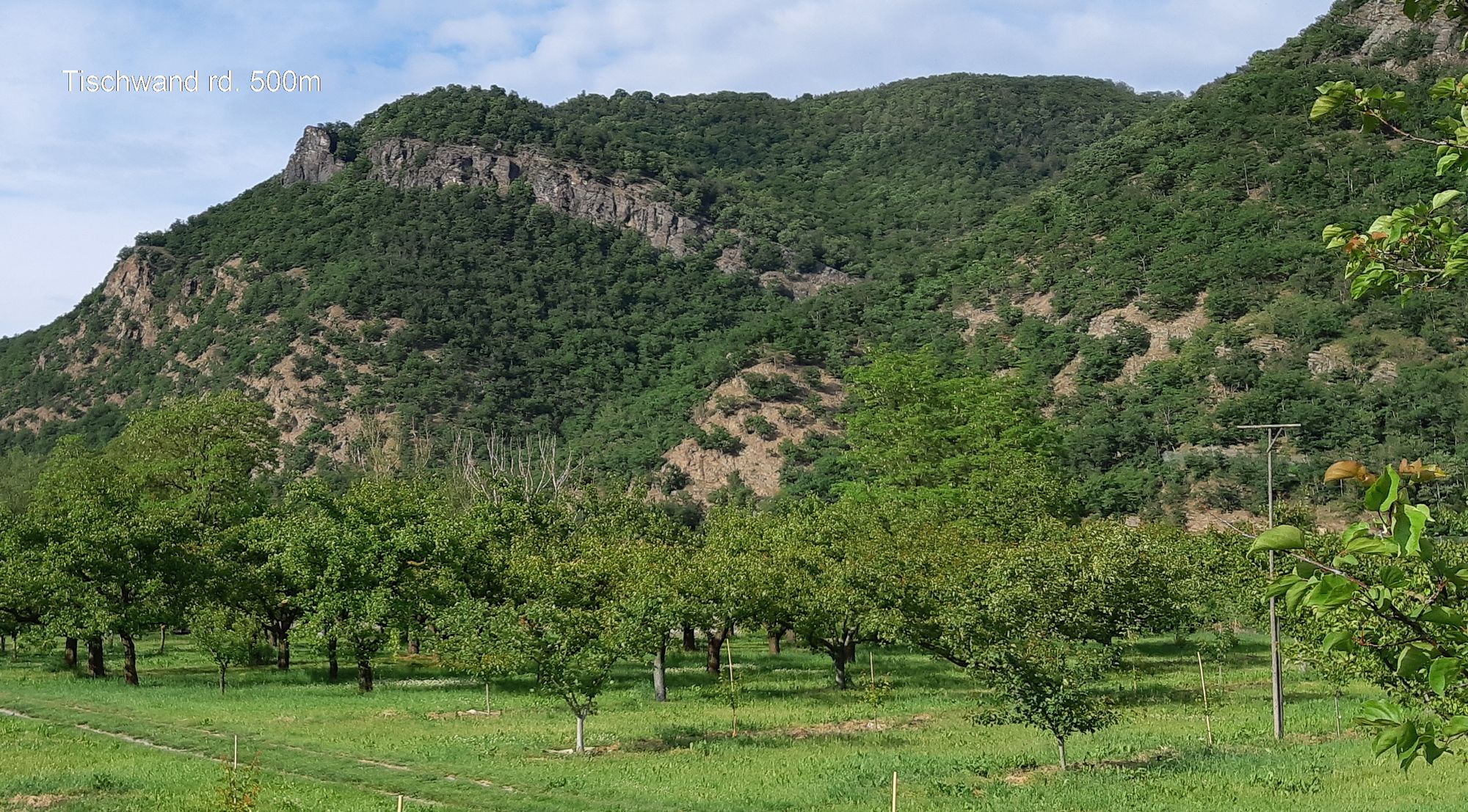
ST.JOHANN im Mauerthale Tischwand Hoher Stein Rote Wand 20200310

Senderismo

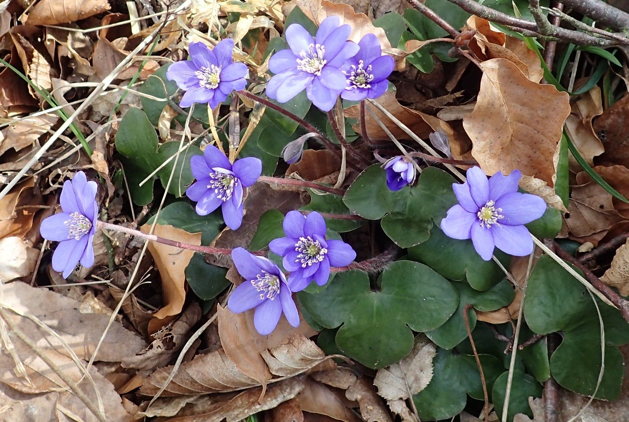
© hel

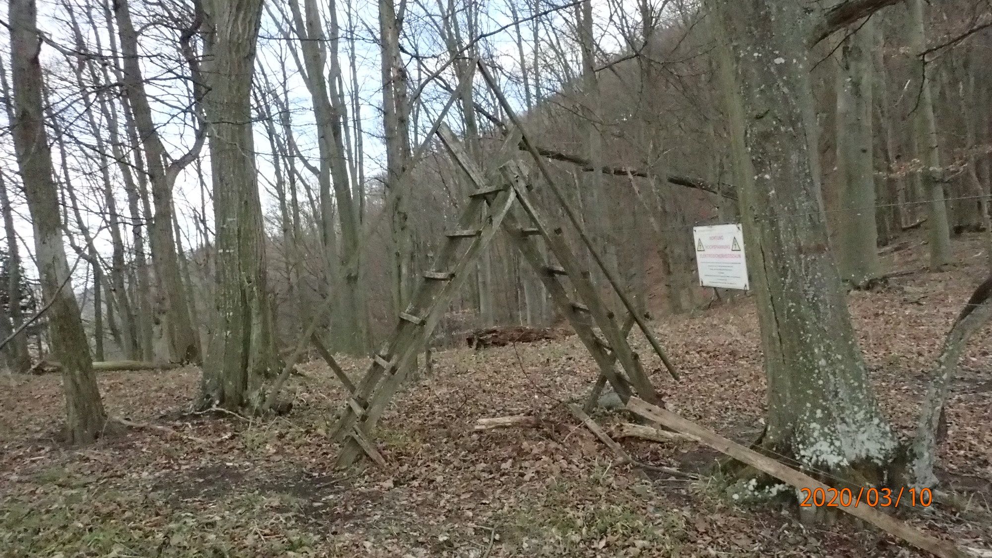
© hel

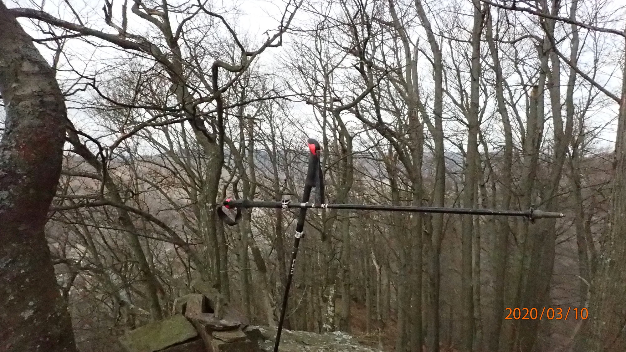
© hel

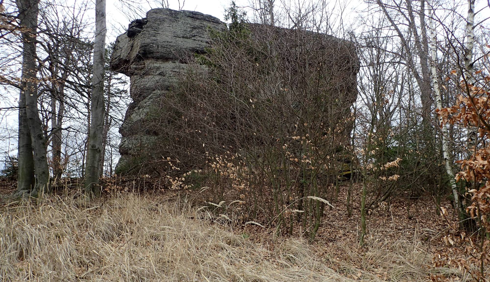
© hel

© hel

© hel

© hel

© hel

© hel

© hel
Datos del tour
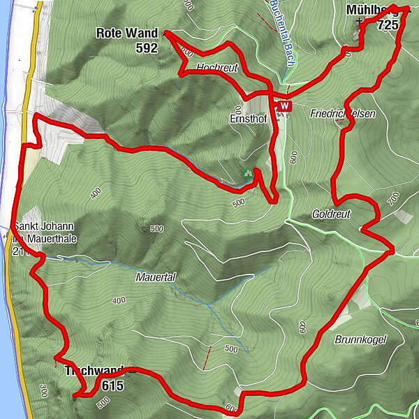
13,2km
203
- 725m
610hm
610hm
05:15h
- Breve descripción
-
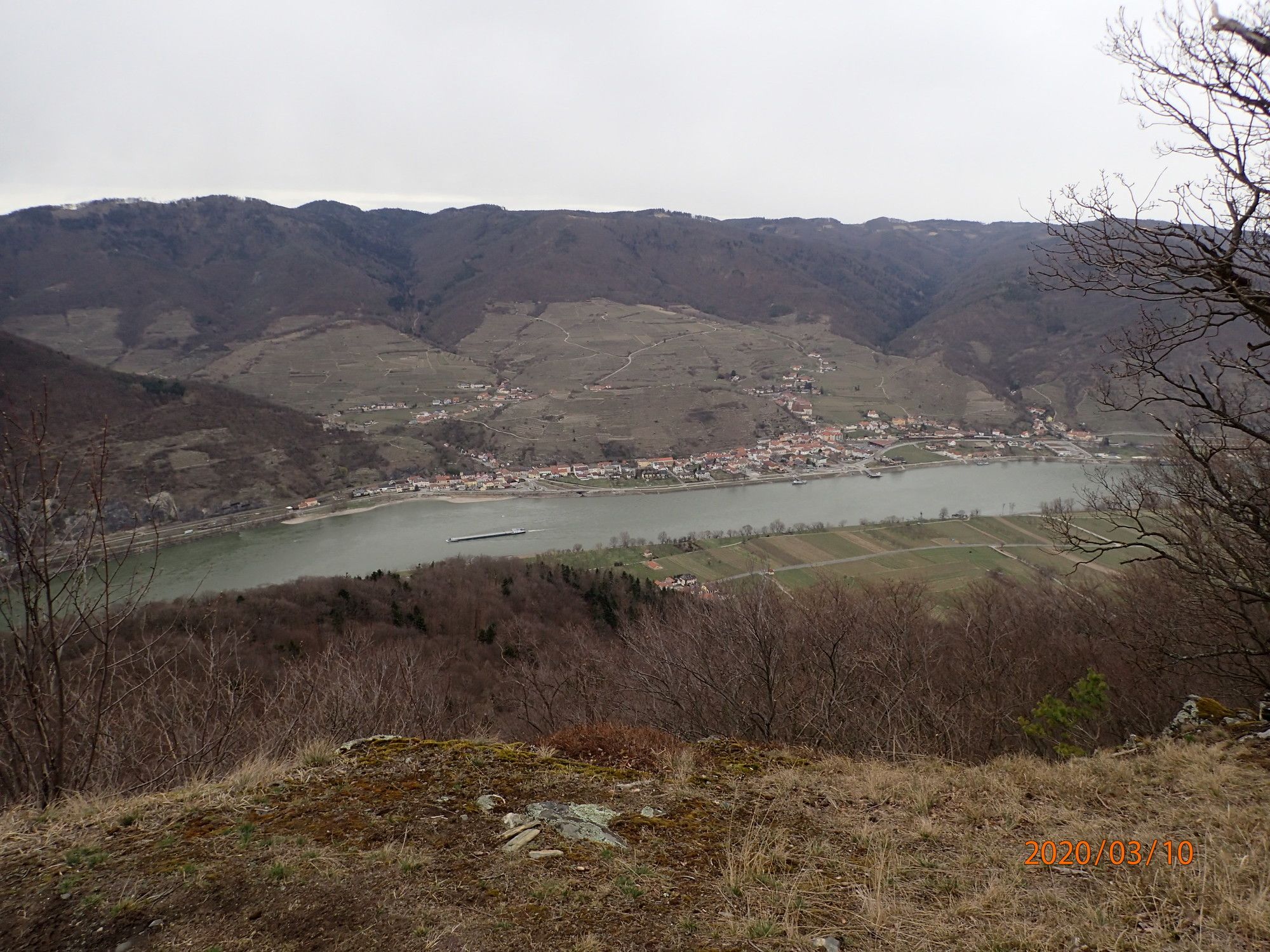
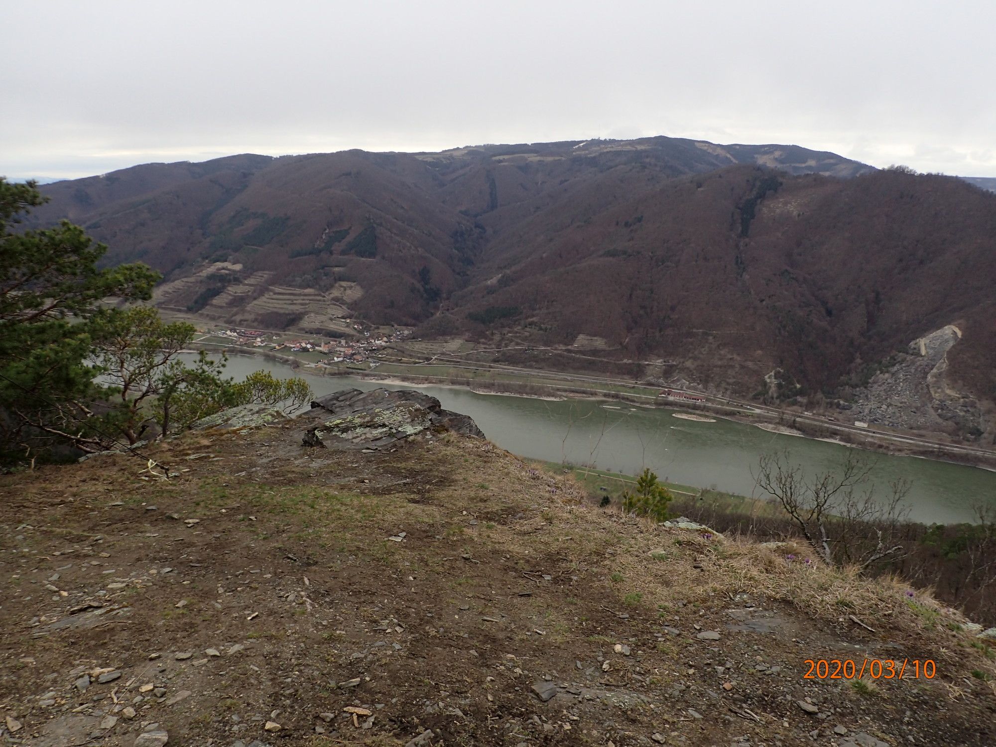
Anreise über die B33 nach St. Johann im Mauerthale bis nahe der Kirche wo normalerweise Parkmöglichkeiten gegeben sind.
- Dificultad
-
medio
- Valoración
-
- Punto de salida
-
Parkplatz im Bereich der Kirche
- Ruta
-
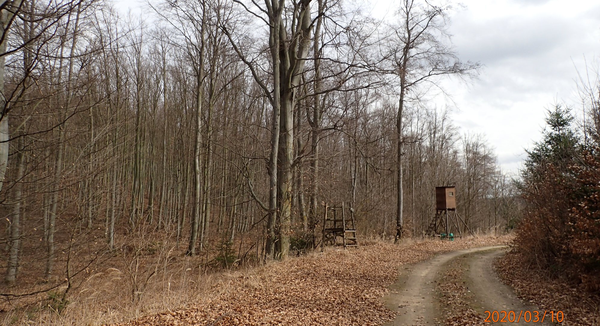
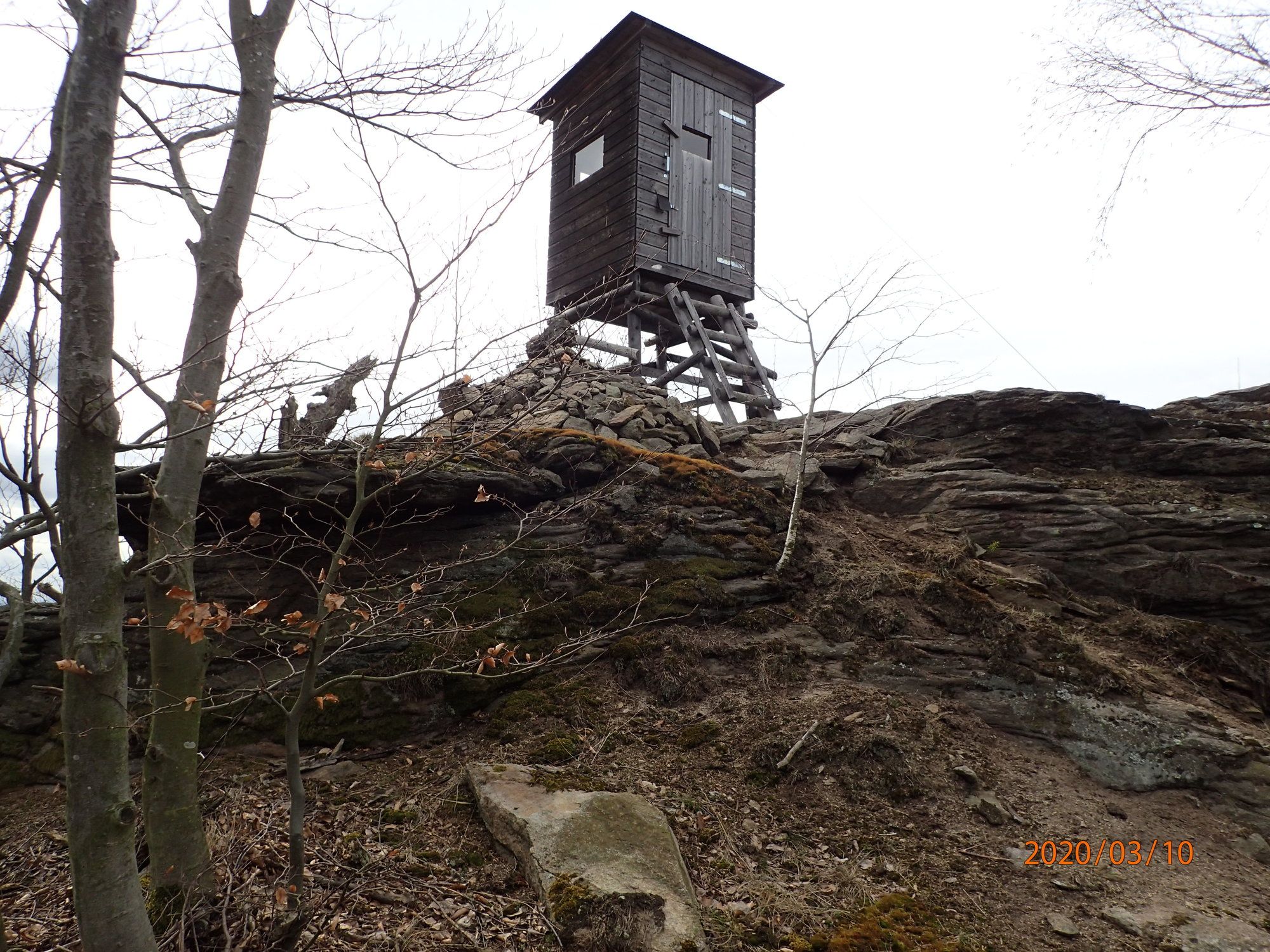
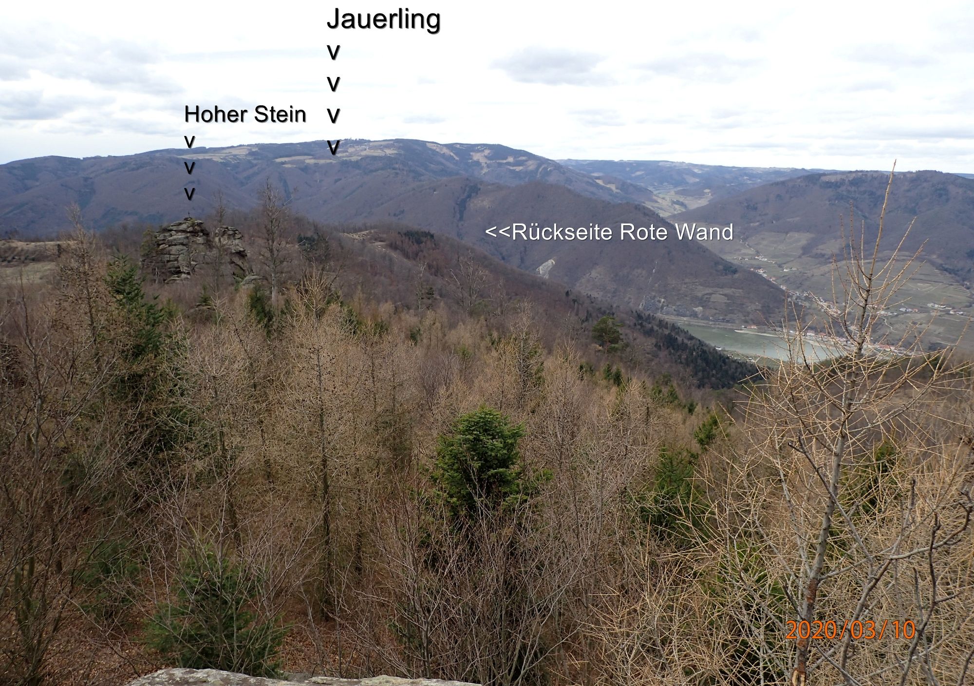
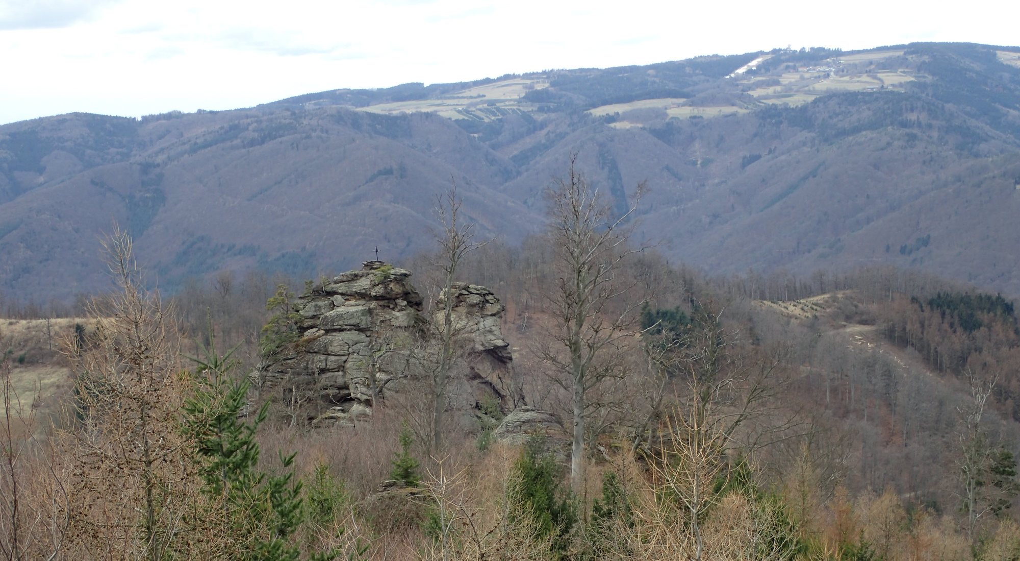
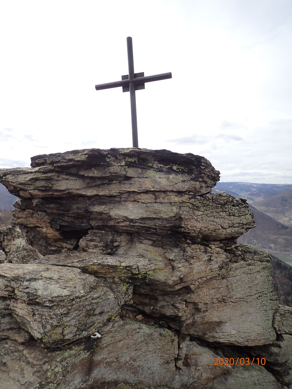
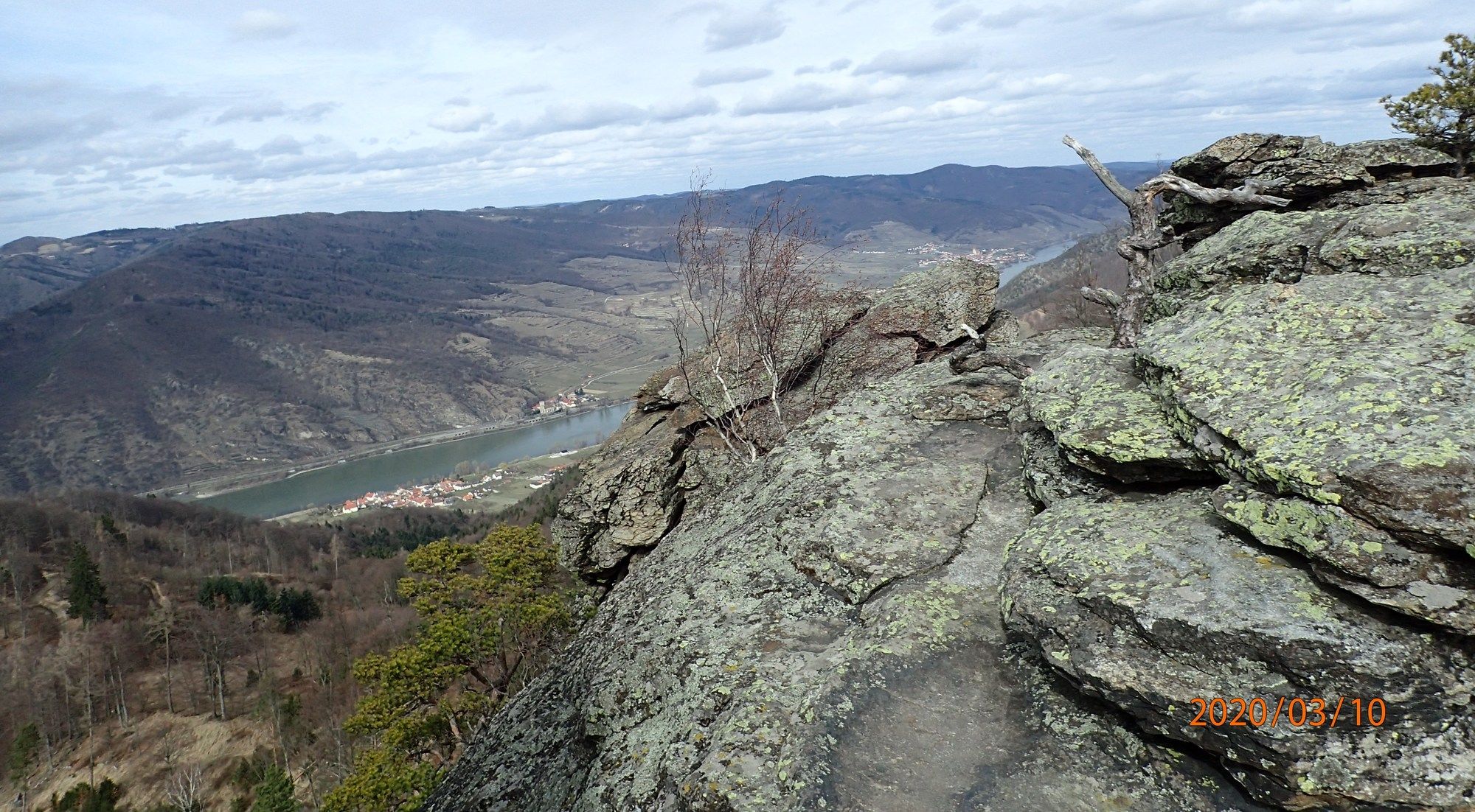
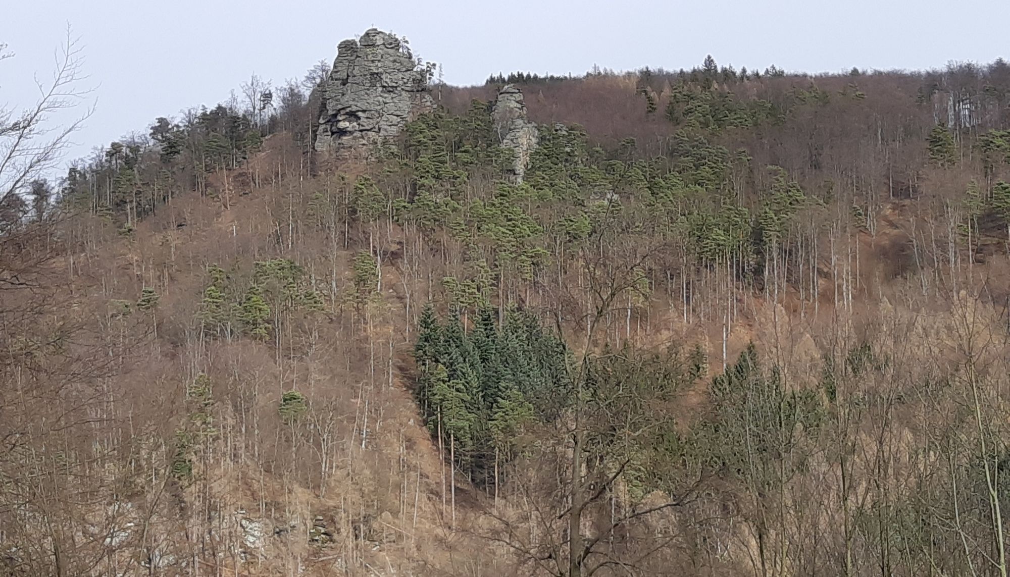
Filialkirche Johannes der Täufer0,2 kmSt. Johann im Mauerthale0,2 kmTischwand (510 m)1,8 kmGerichtsberg (613 m)2,3 kmFriedrichfelsen (732 m)5,8 kmMühlberg (725 m)6,8 kmHoher Stein (712 m)7,2 kmRote Wand (597 m)9,1 kmAmphibolithöhle (515 m)11,0 km
- La mejor temporada
-
enefebmarabrmayjunjulagosepoctnovdic
- Punto álgido
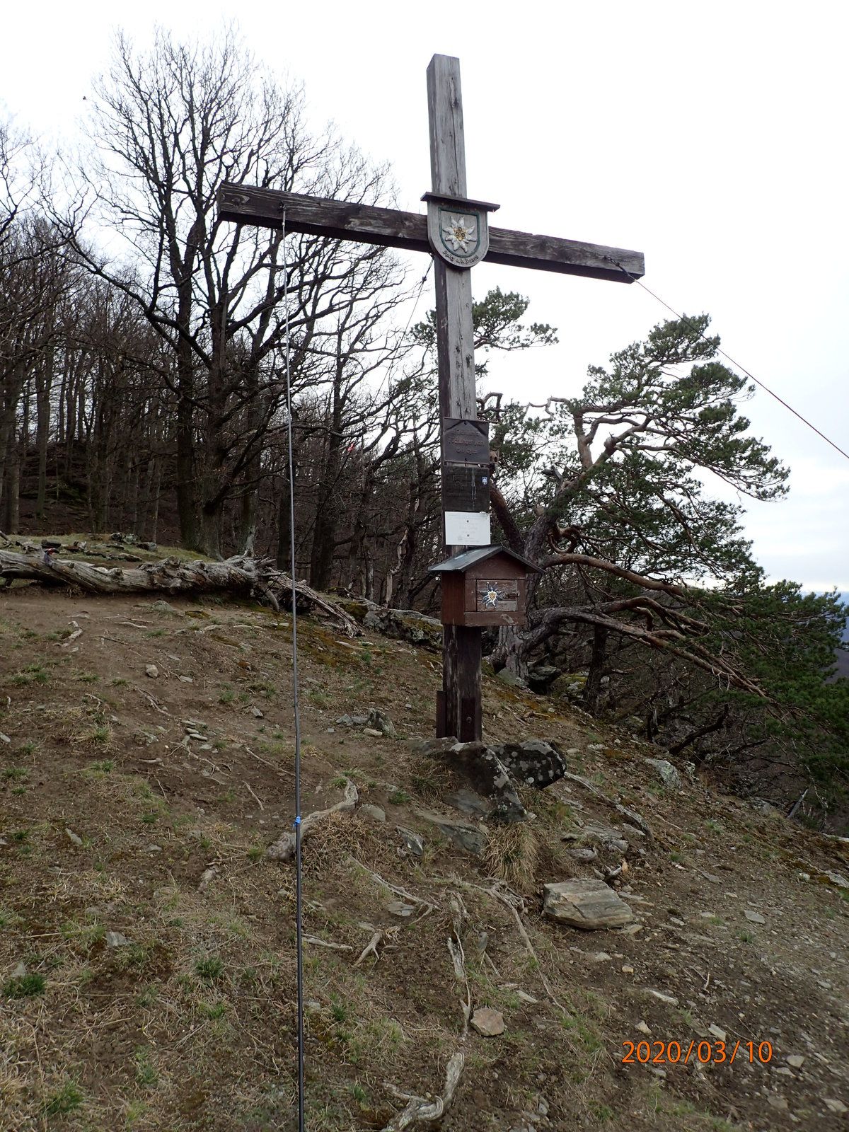
- Mühlberg (725 m)
- Punto final
-
Tischwand, Friedrichsfelsen, Hoher Stein, Rote Wand und zurück.
- Descanso/Avituallamiento
-
Nach der Tour Gastronomie in der Wachau
- Material cartográfico
-
bergfex, amap, kompass, opentopomap


- Fuente
- Erich Helferstorfer
GPS Downloads


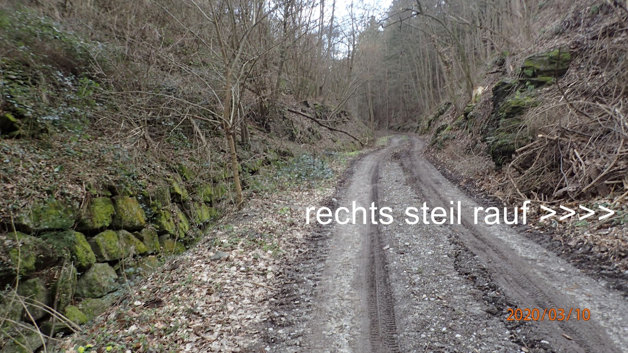
Superficie de carretera
Asfalto
(15%)
Gravilla
(70%)
Pradera
(15%)
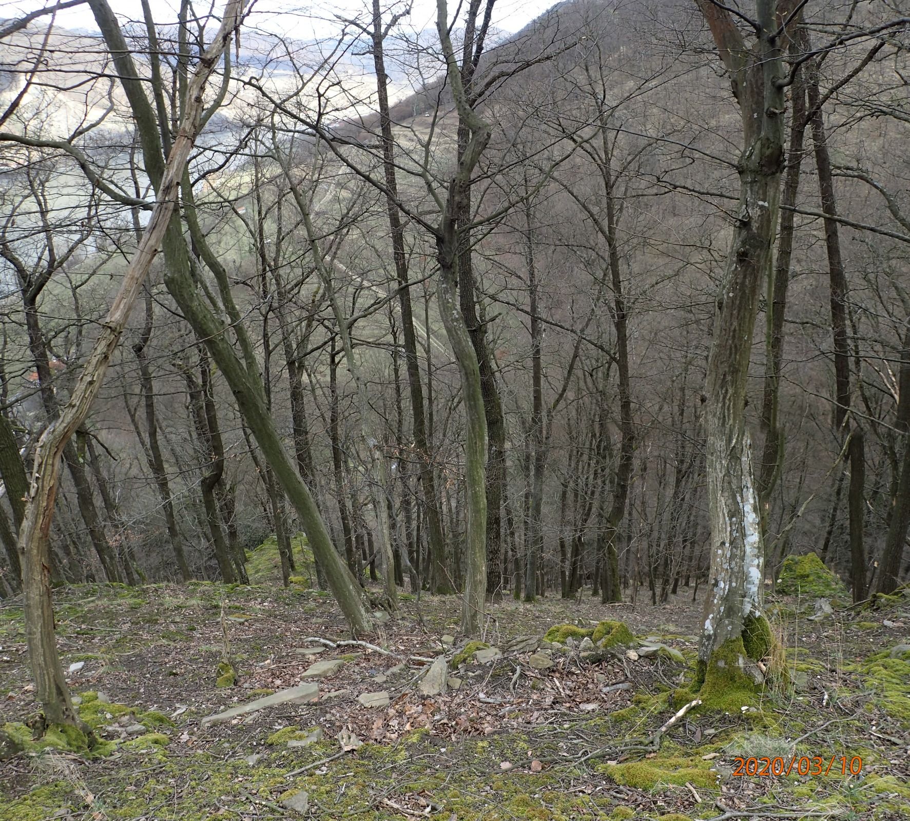
Bosque
(55%)
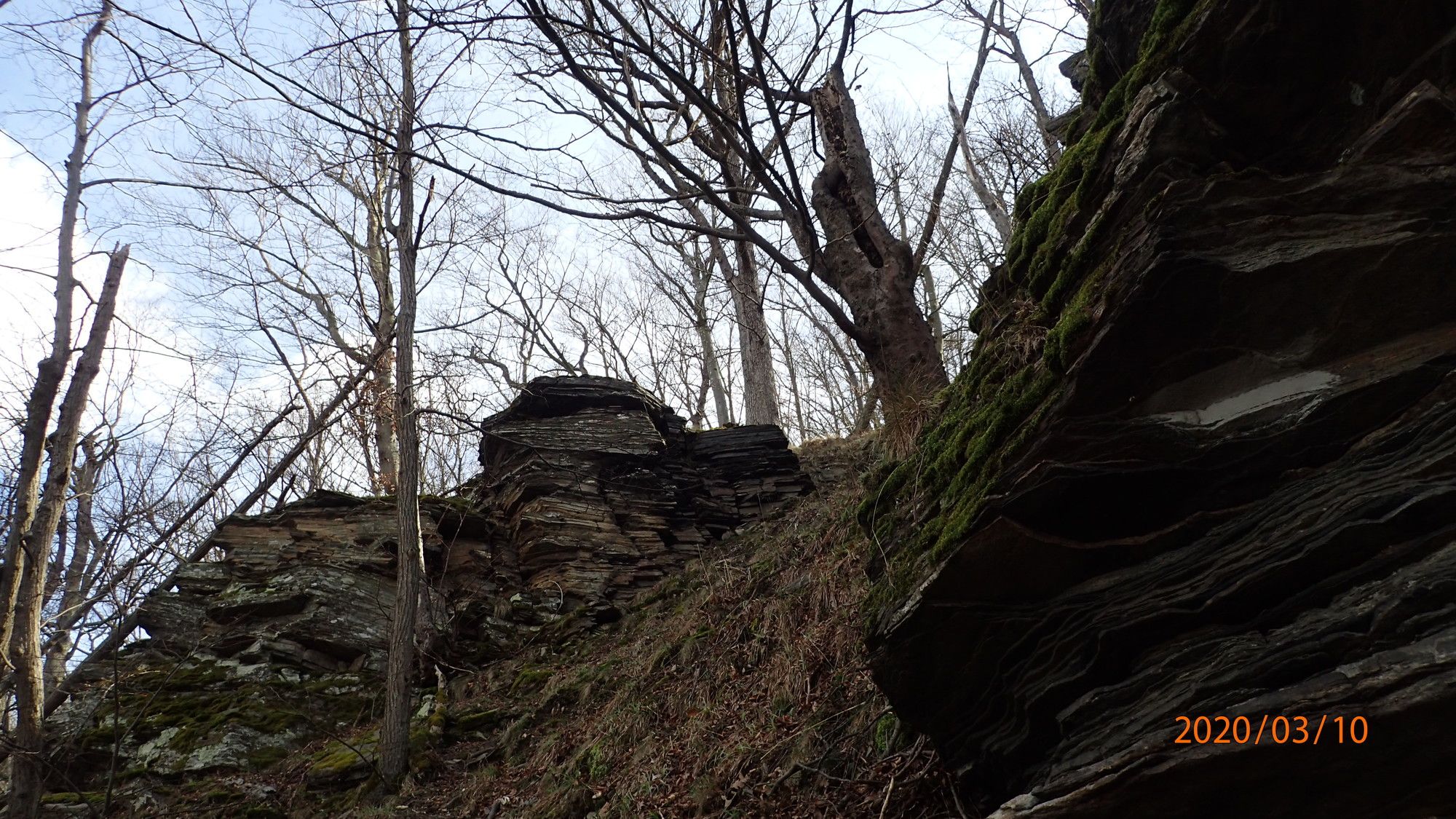
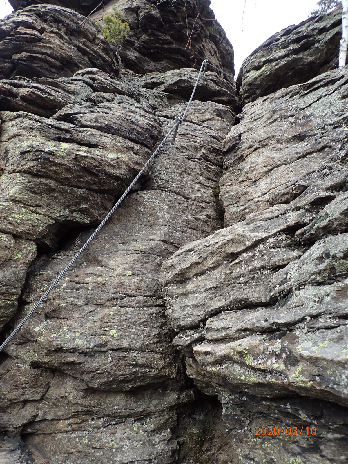
Roca
Expuesto
(1x)
Más circuitos por las regiones
-
Donau Niederösterreich
2287
-
Dunkelsteinerwald
1373
-
Spitz an der Donau
605


