






Axels Wandertour durch den Wienerwald

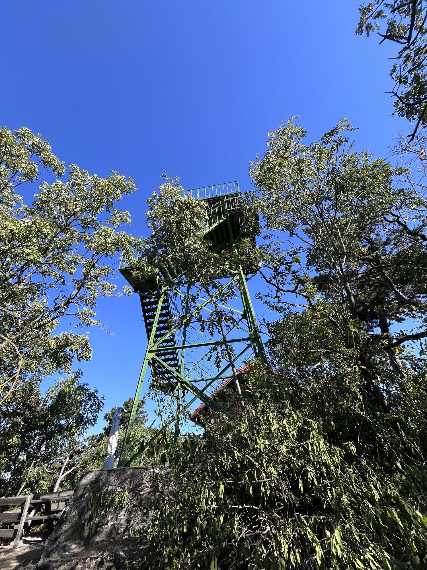
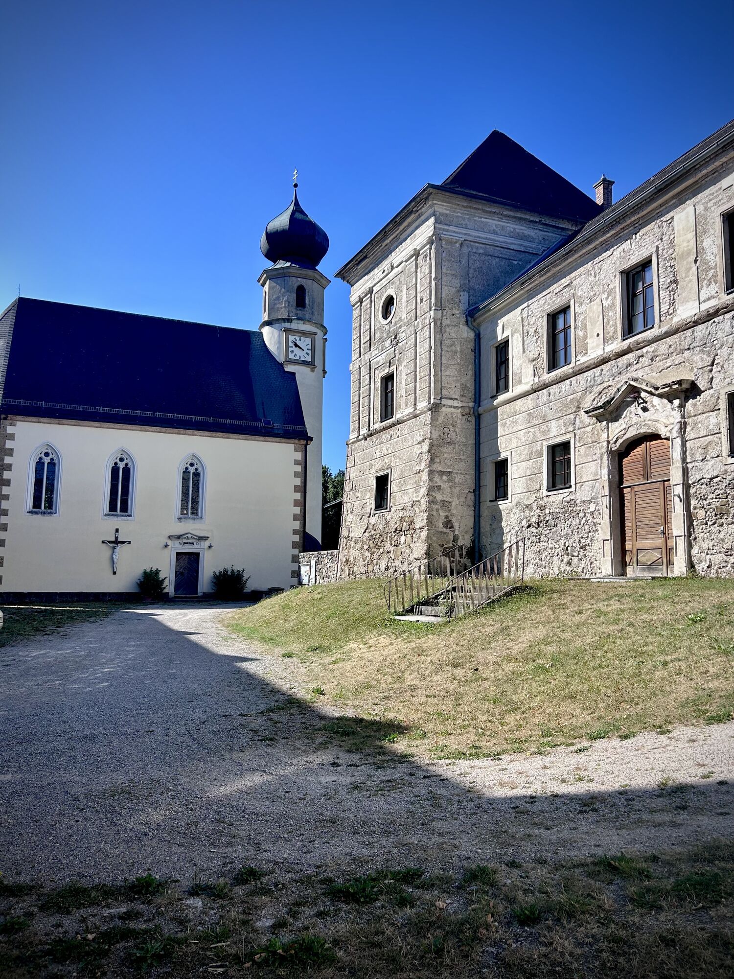
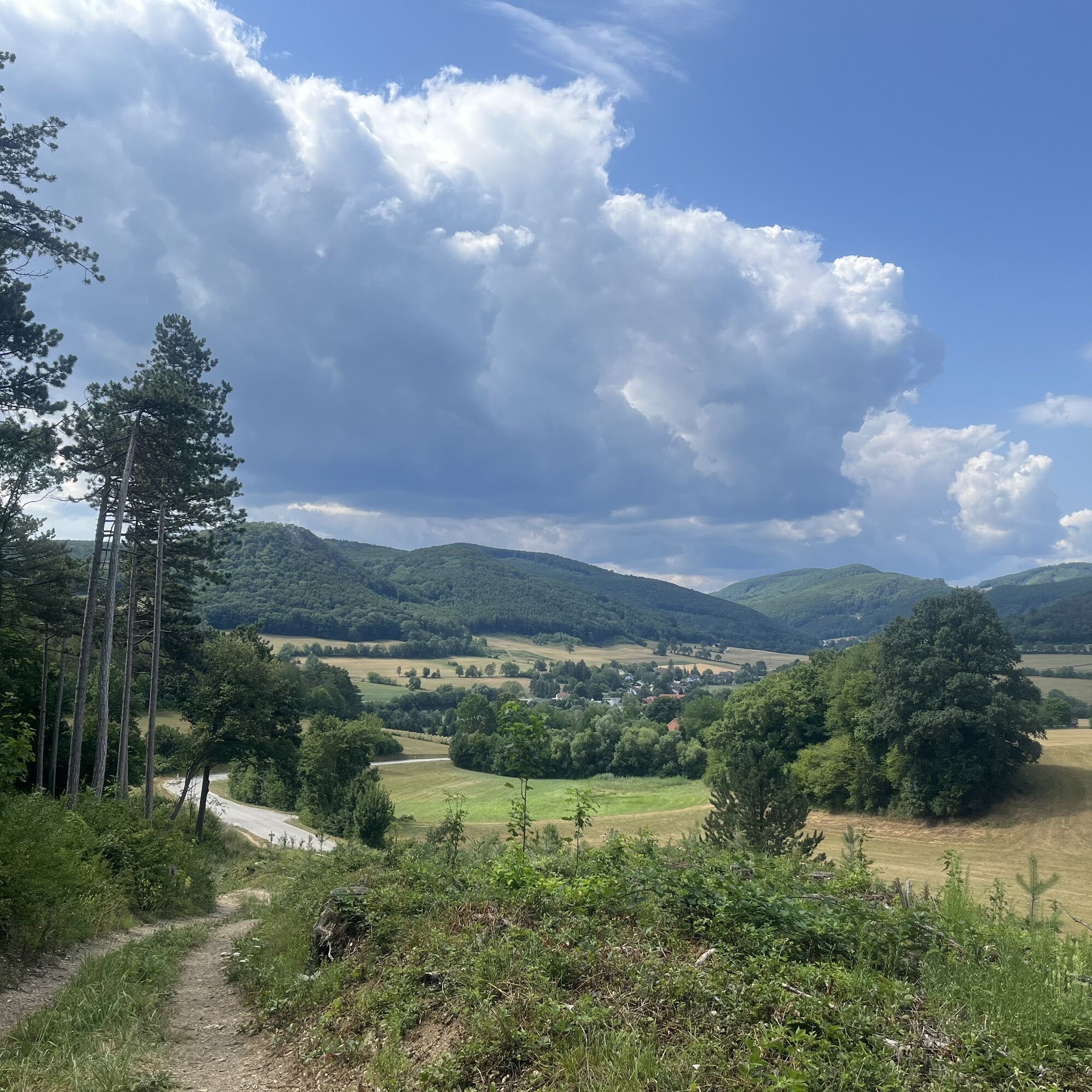
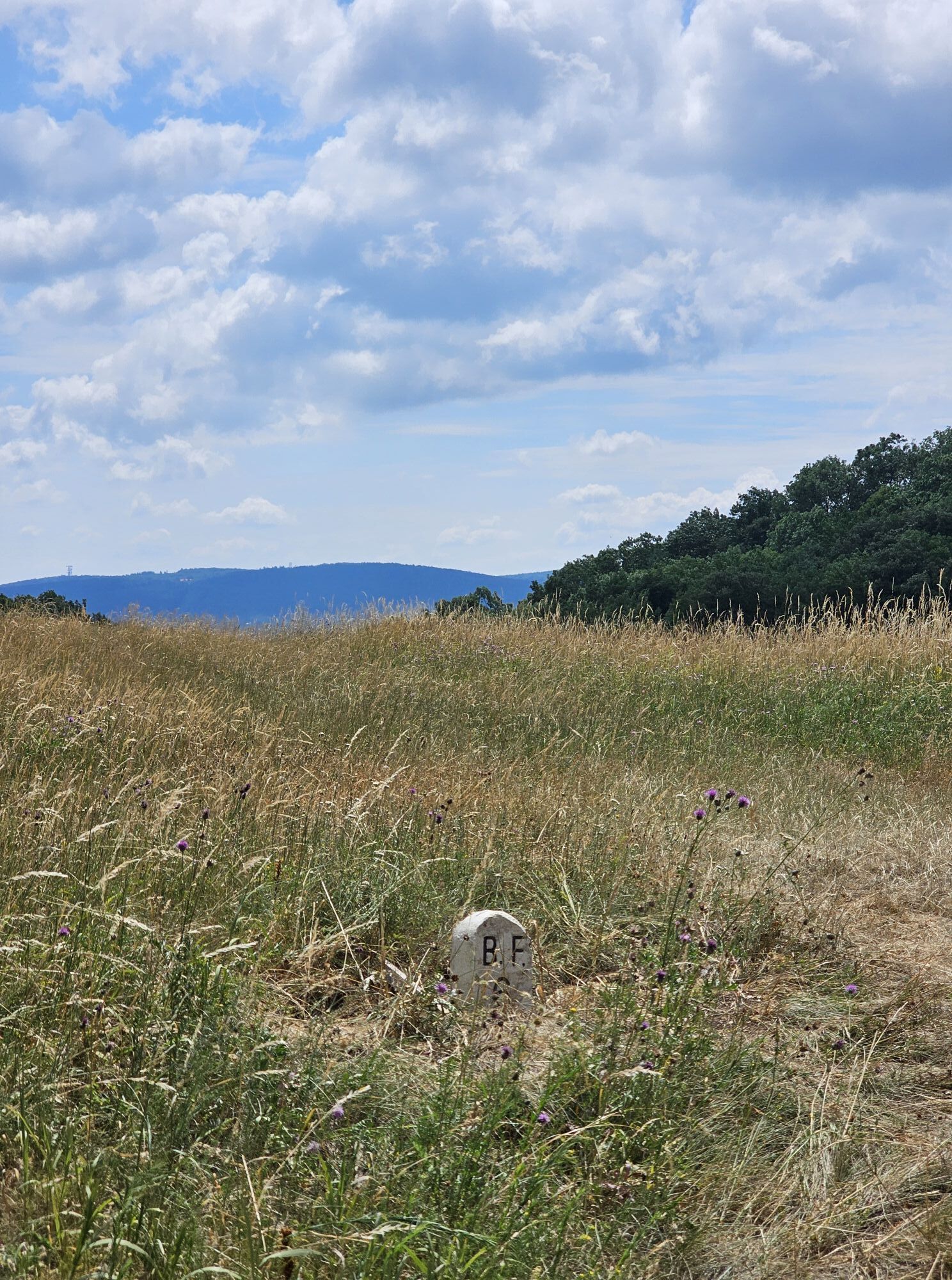
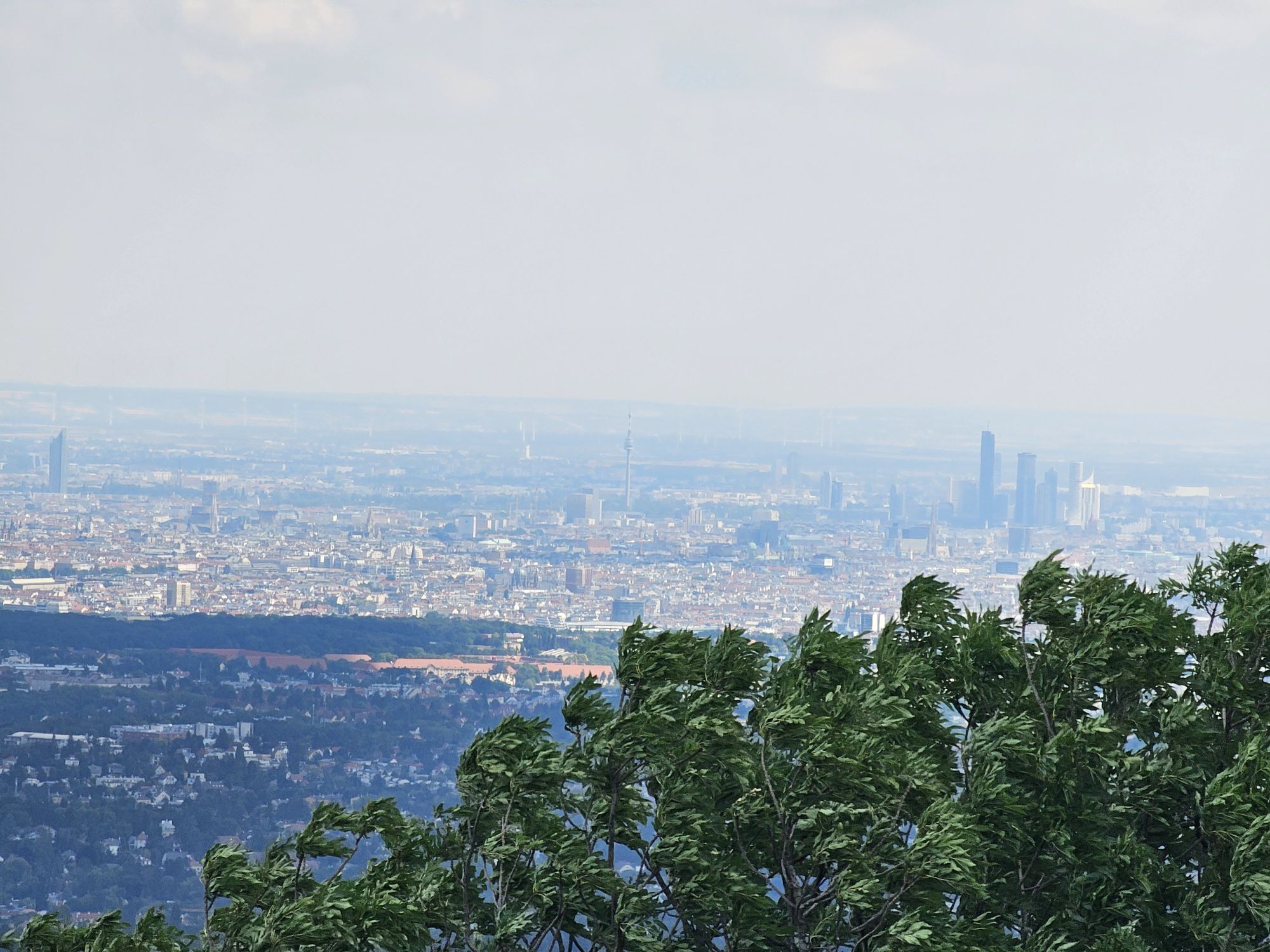
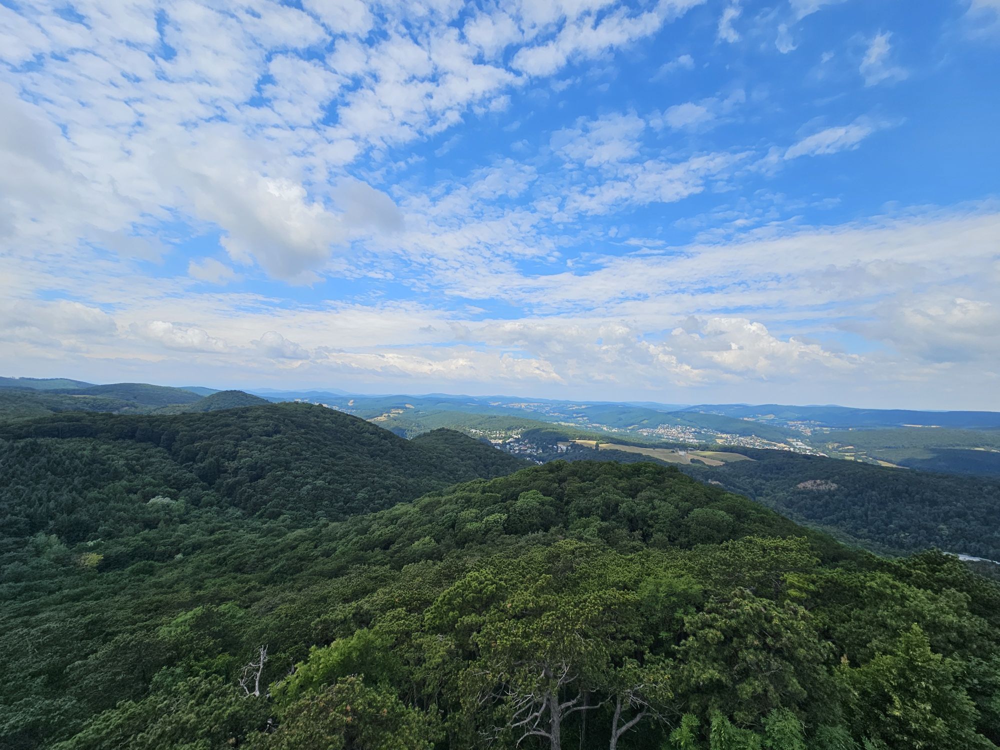
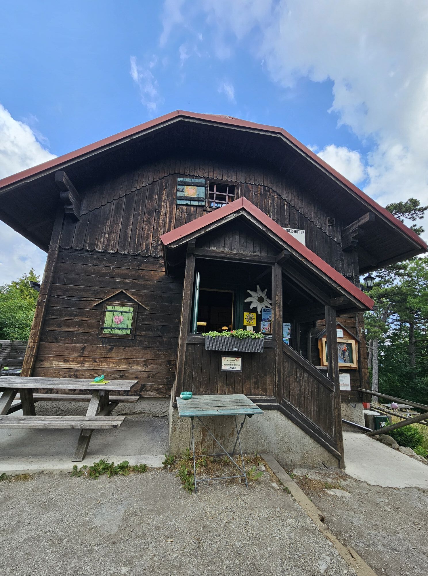
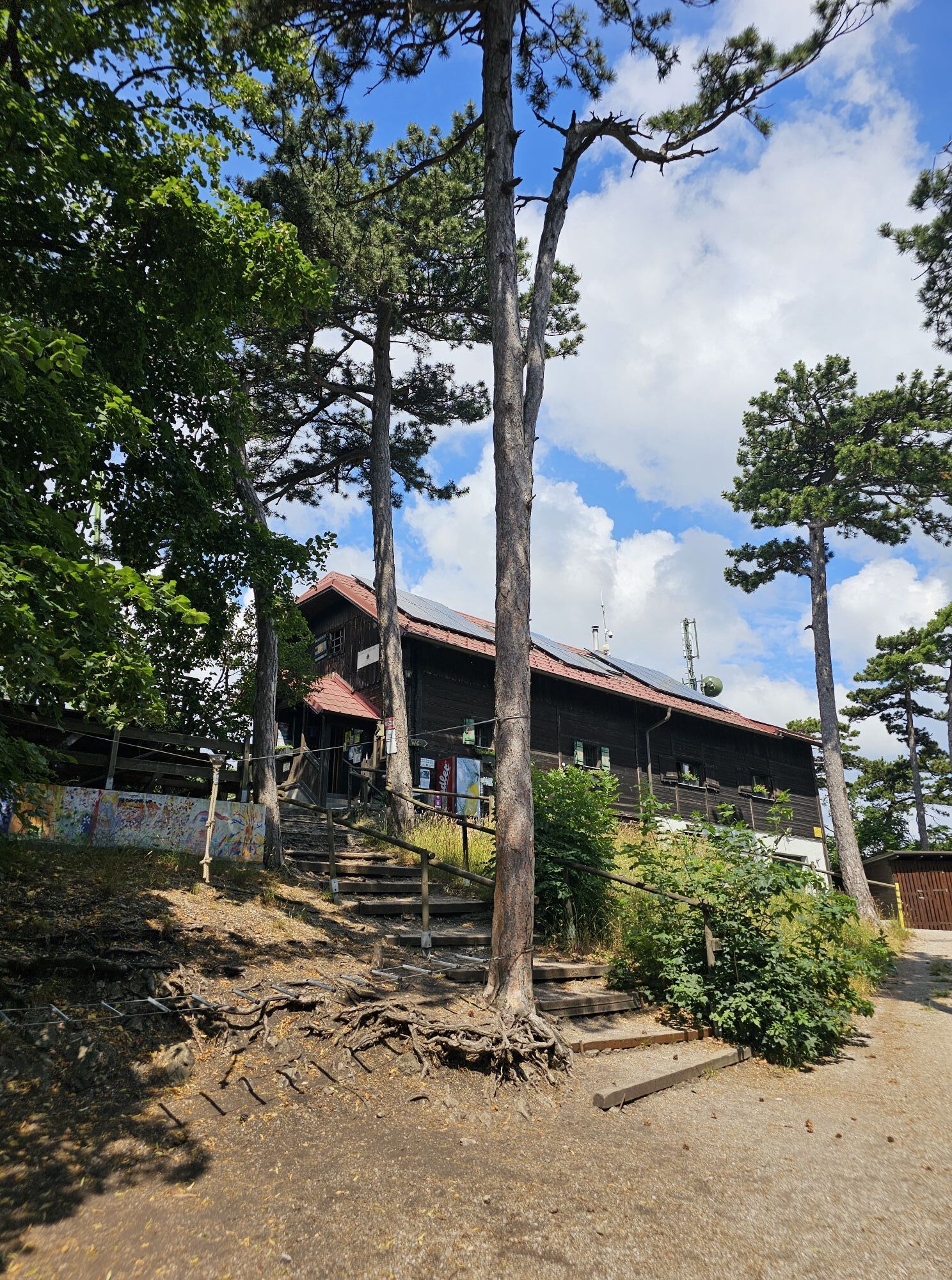
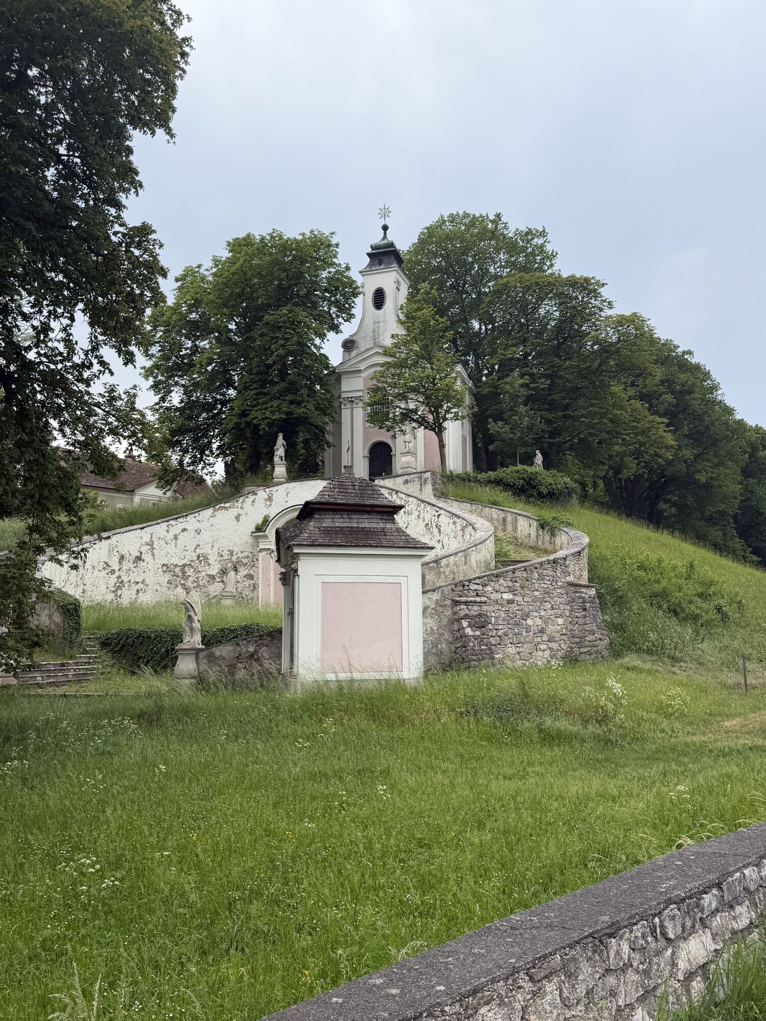
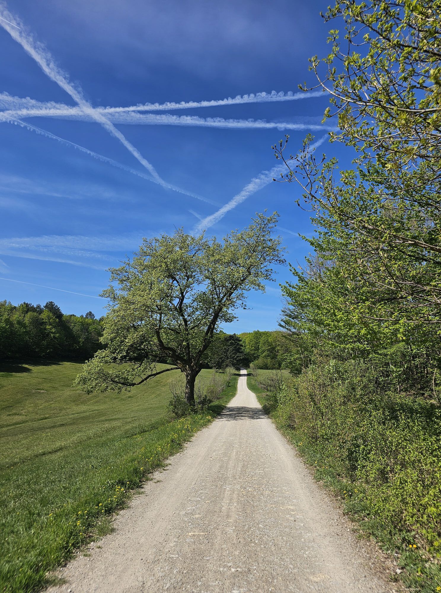
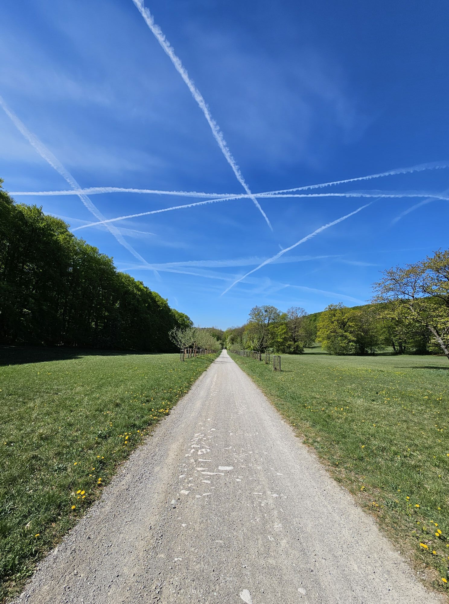
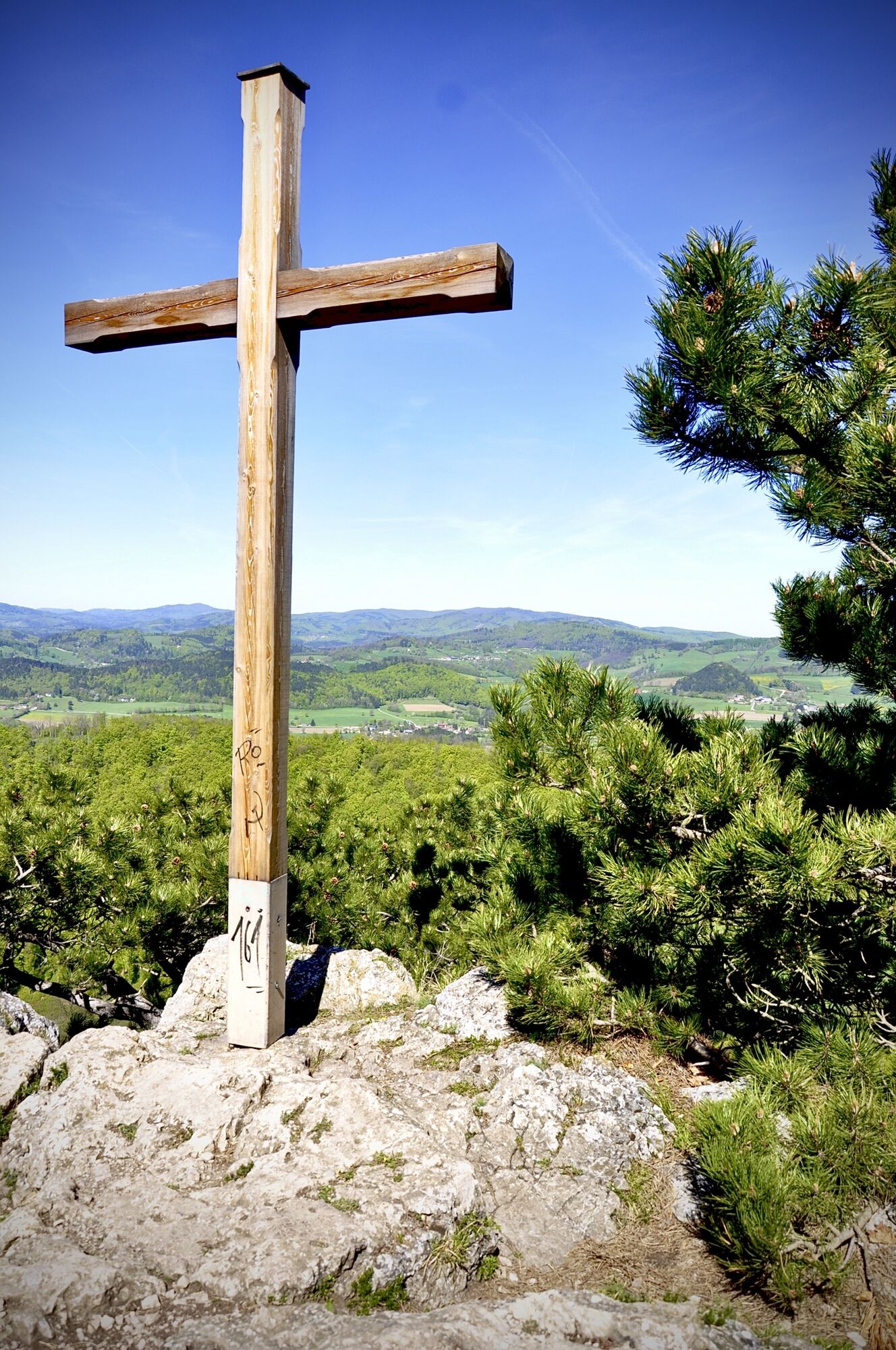
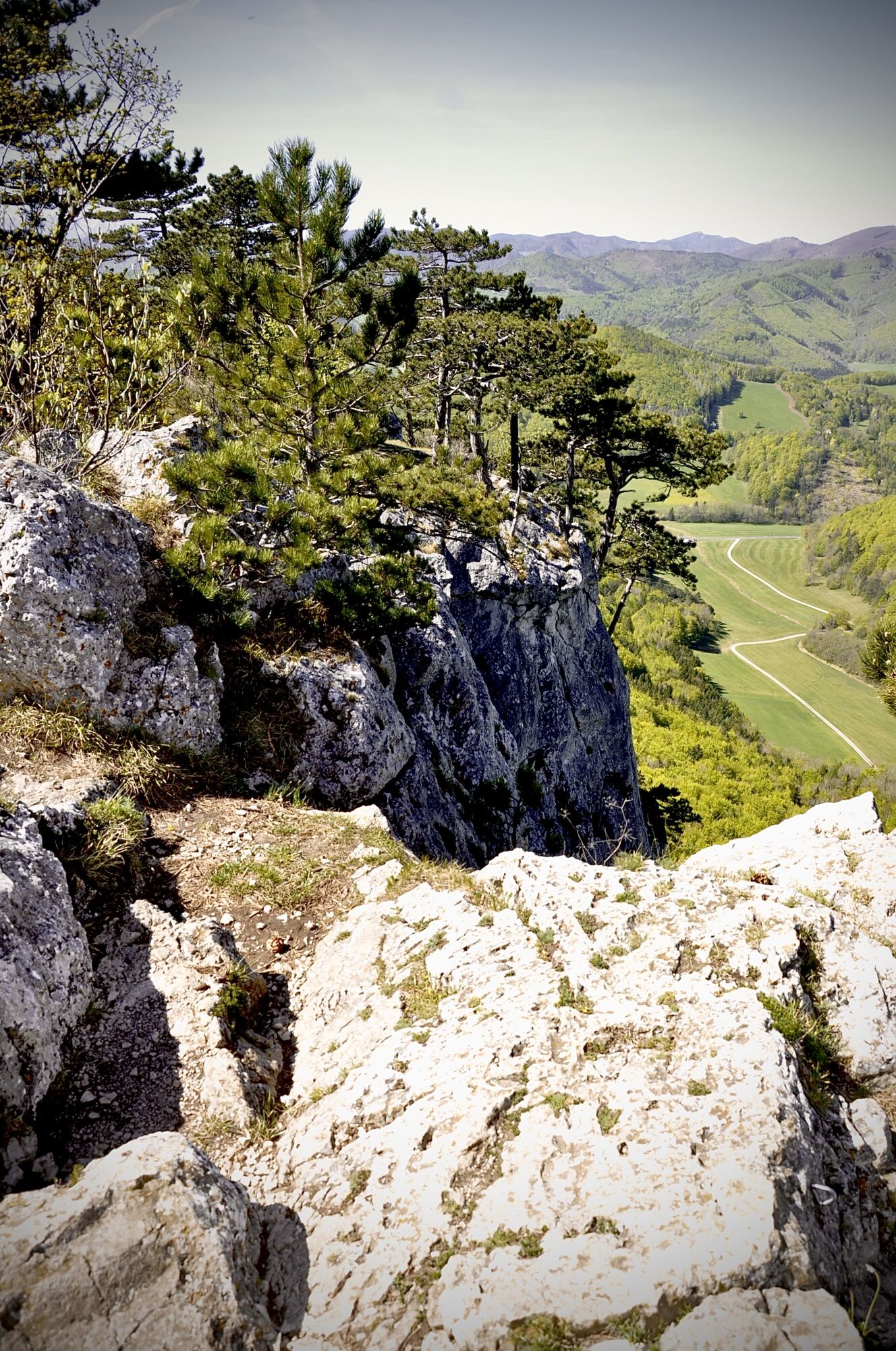
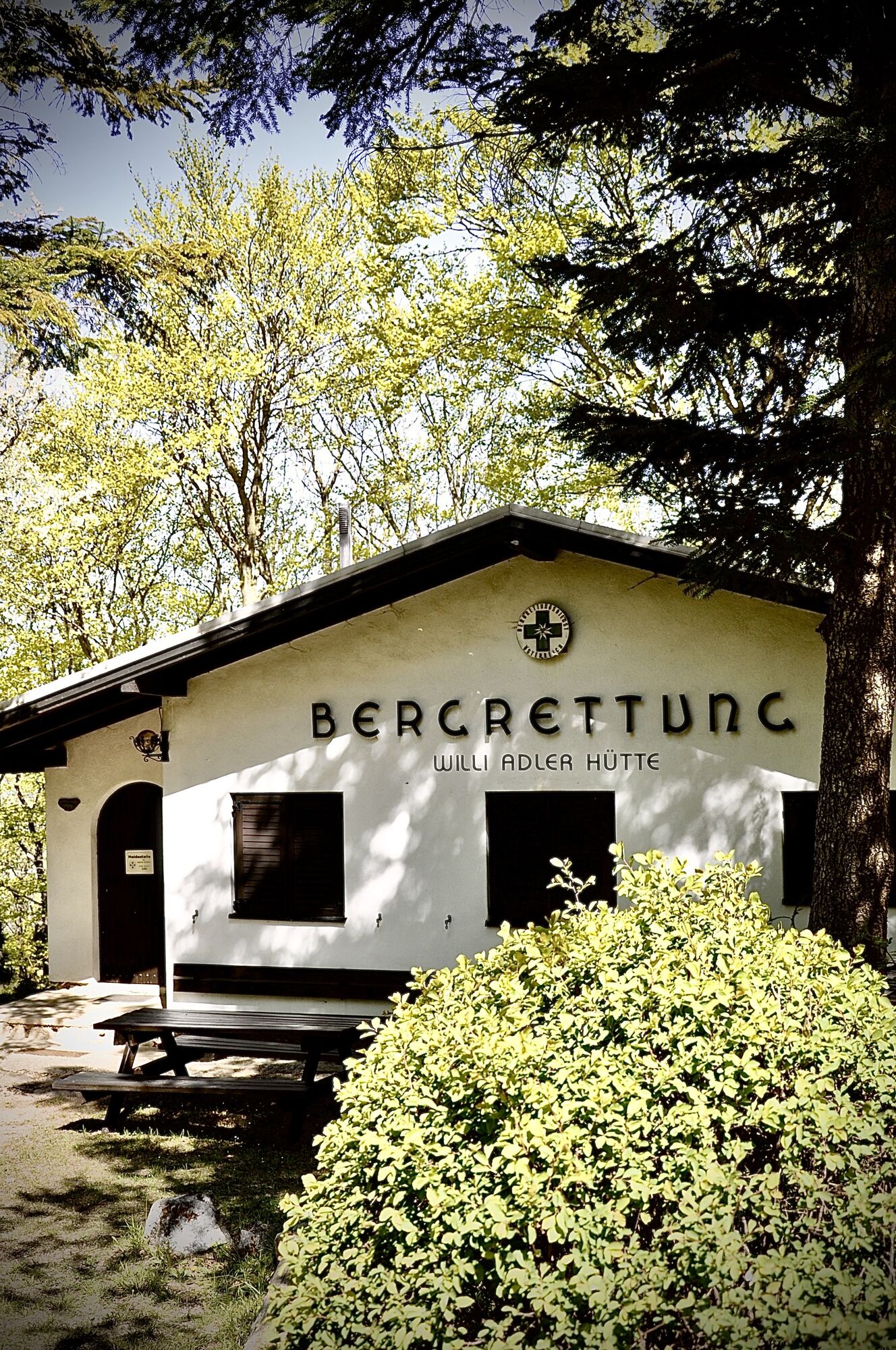
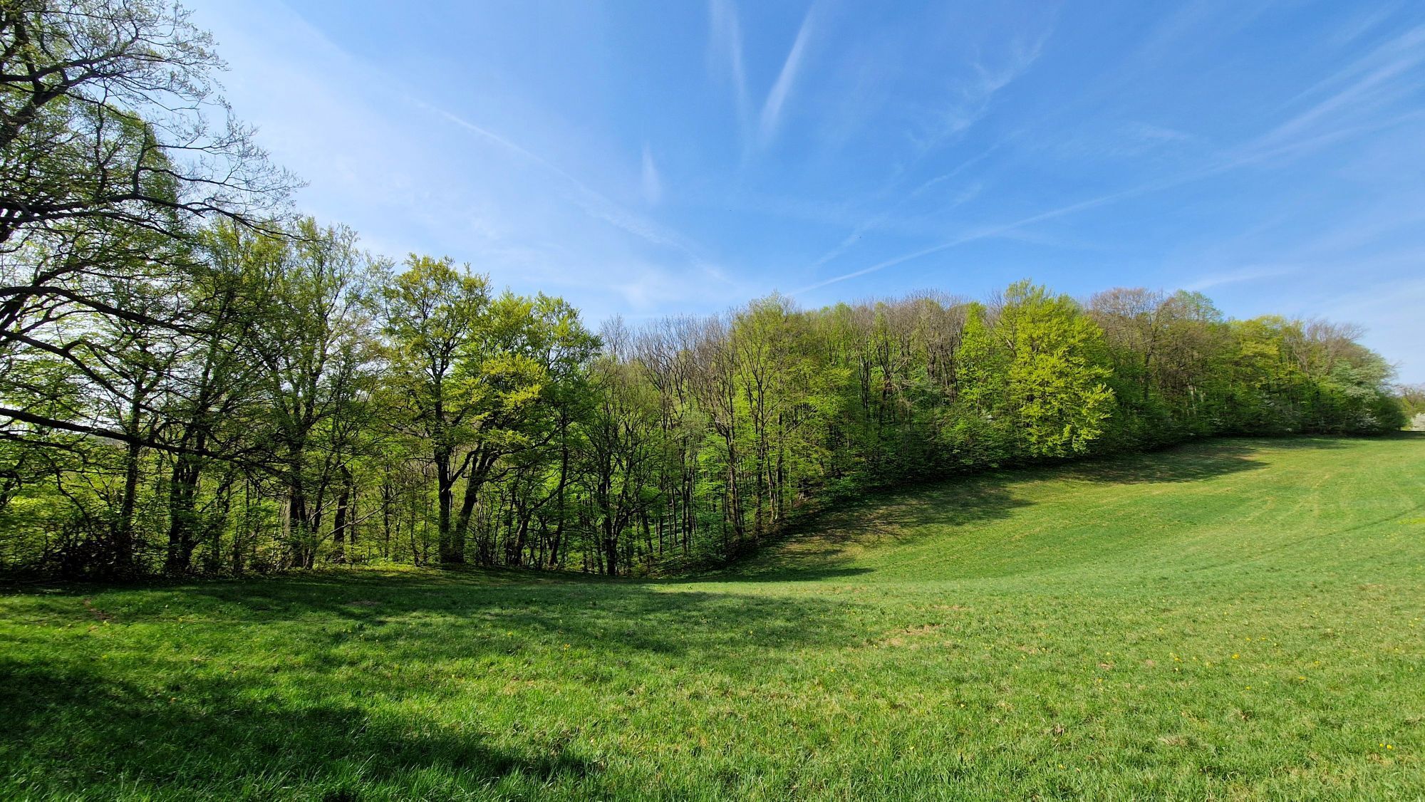
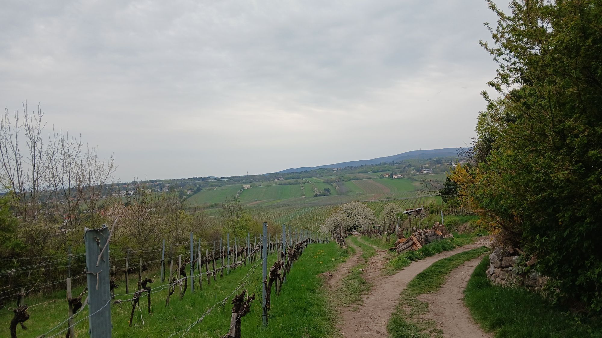
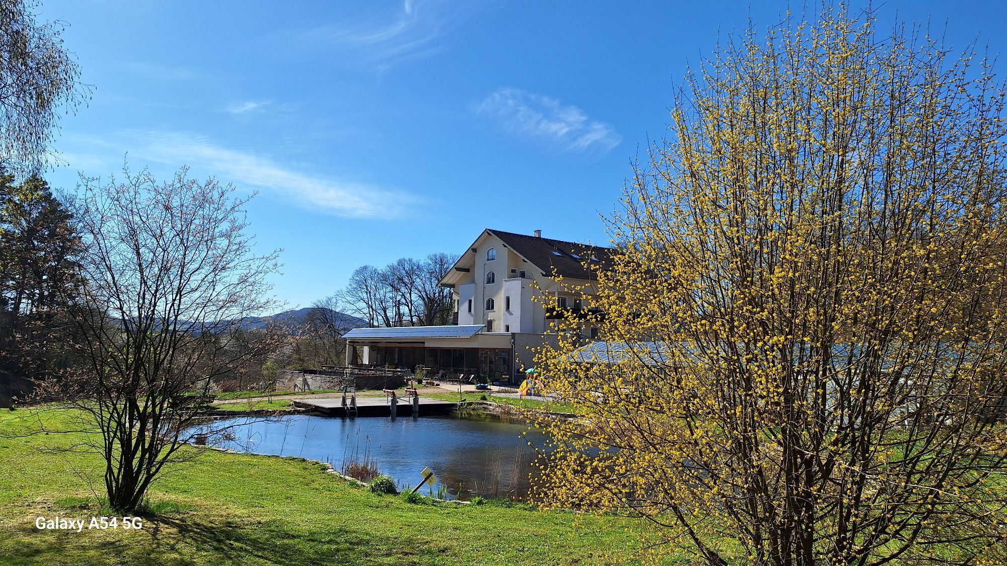
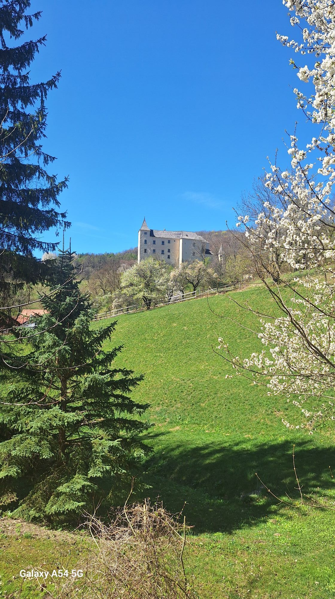
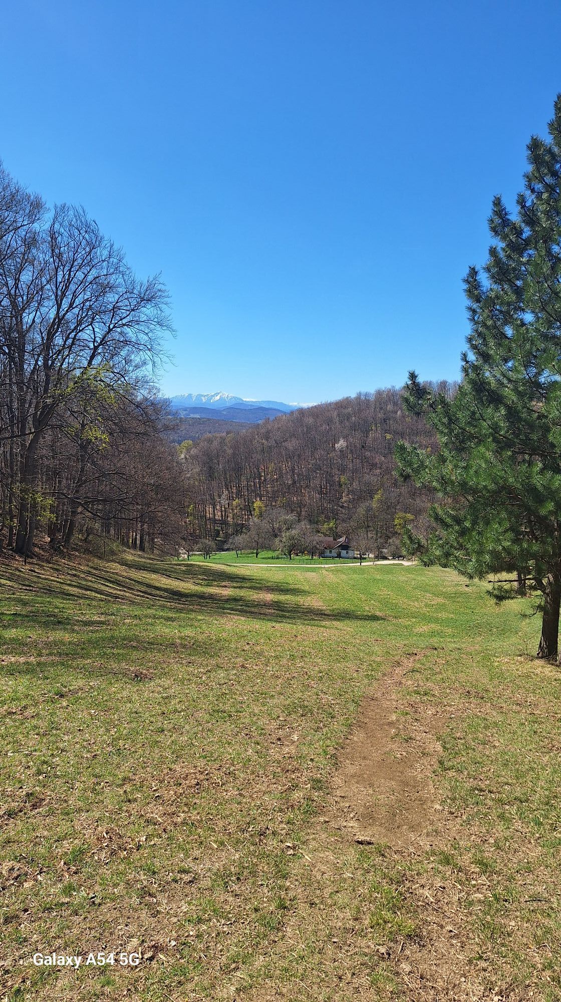
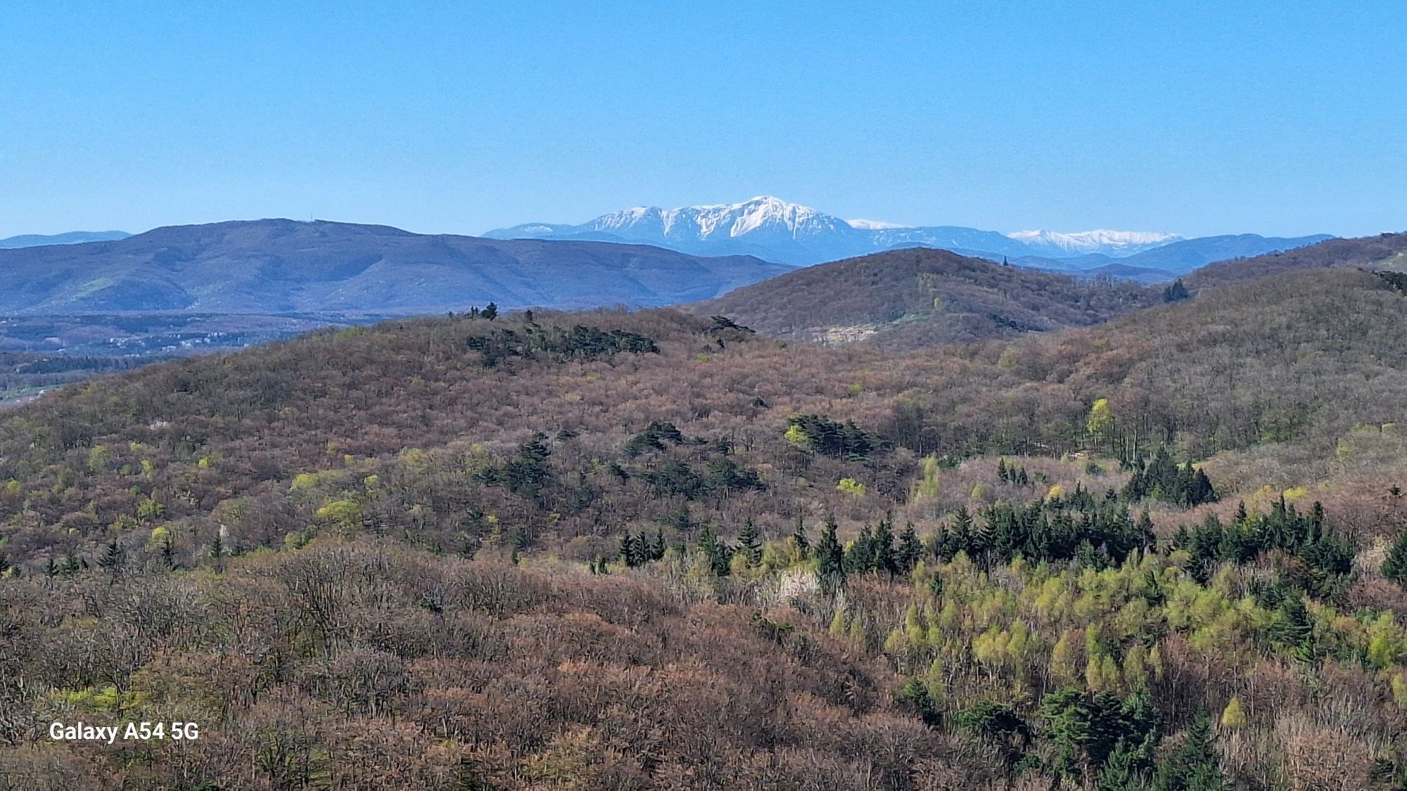
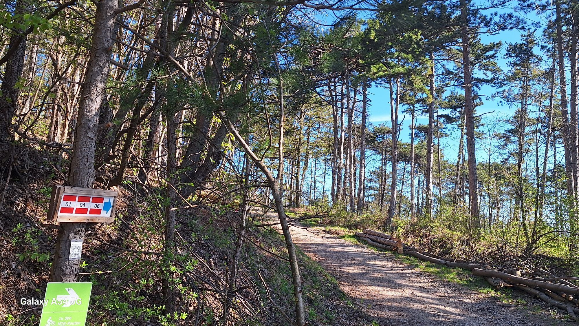
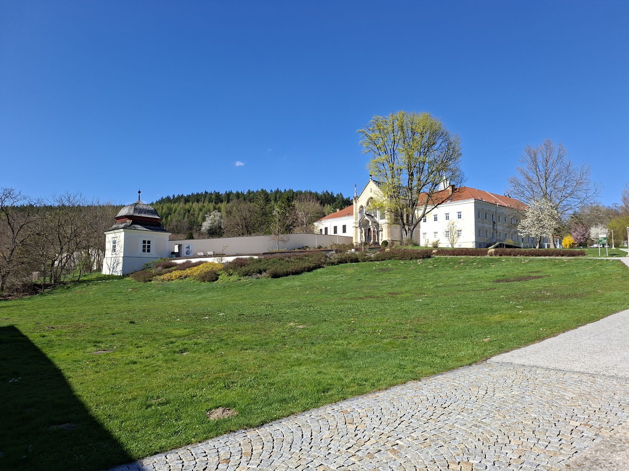
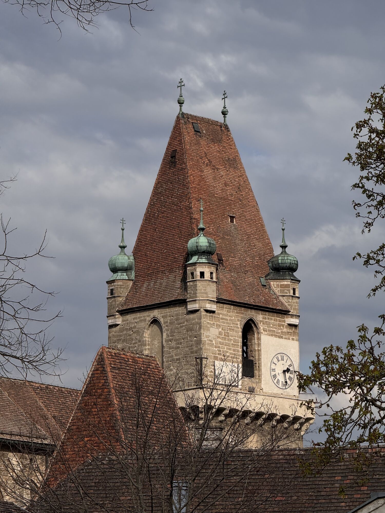
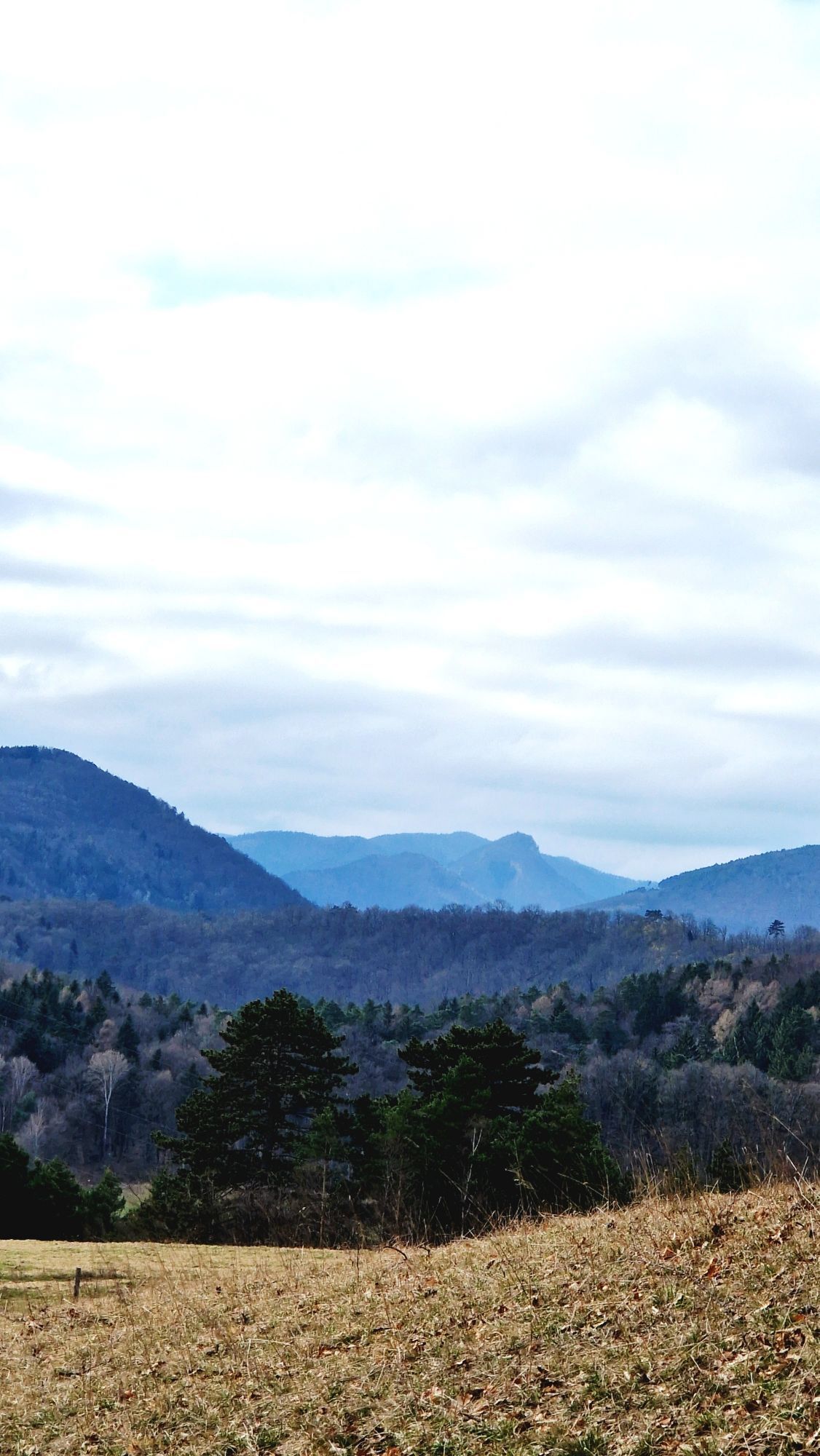
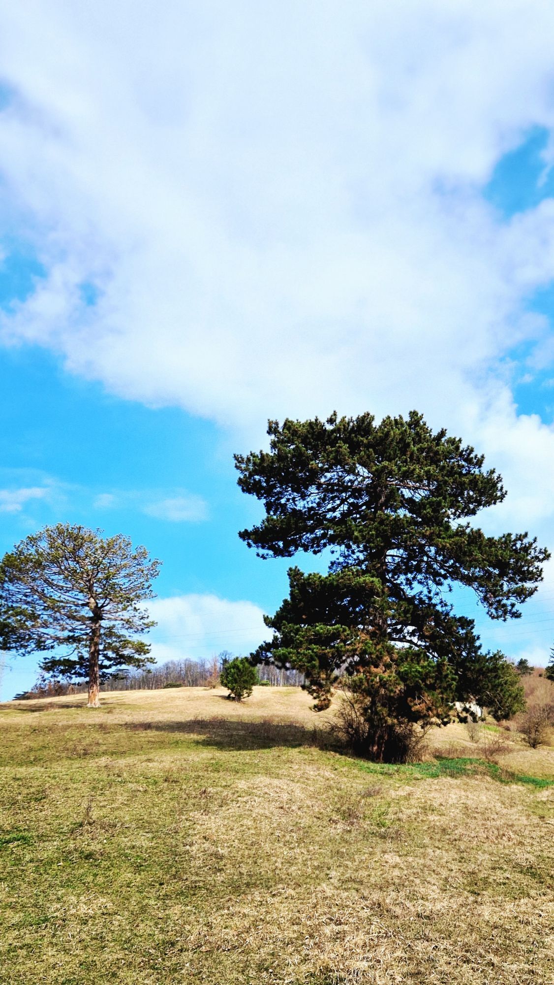
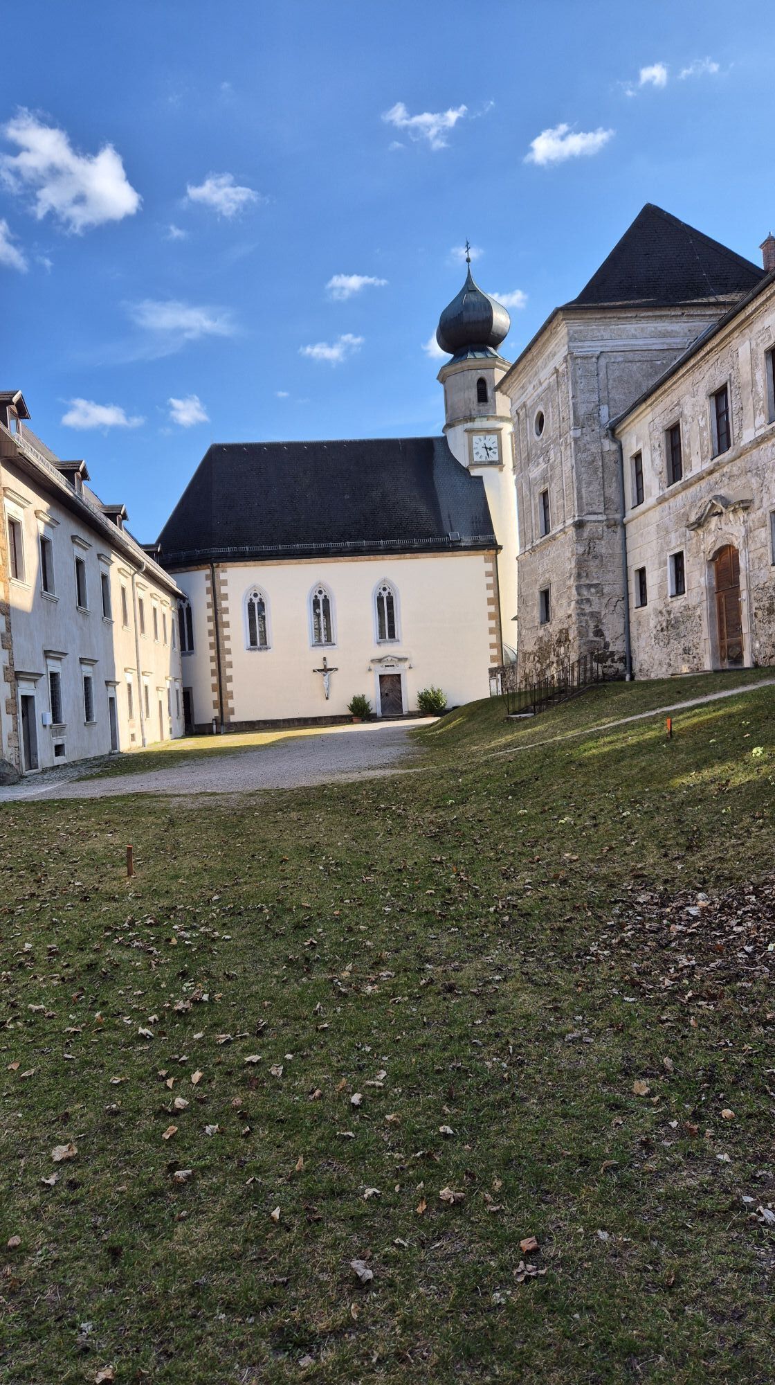
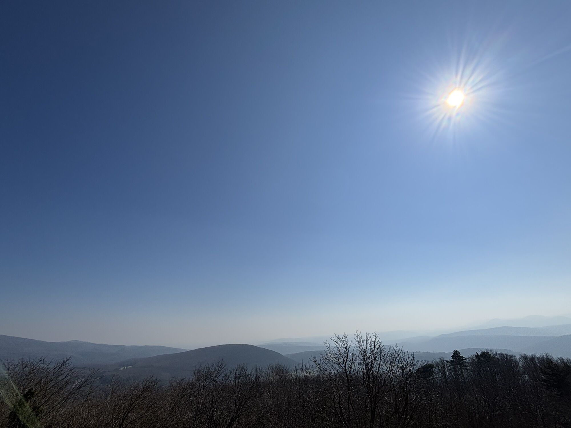
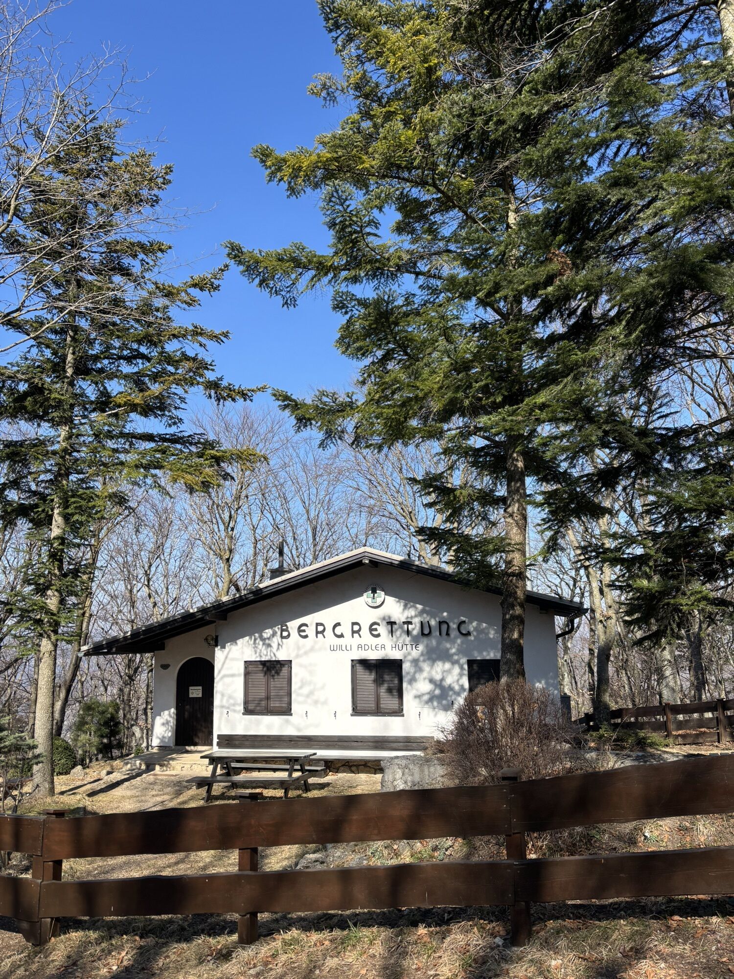
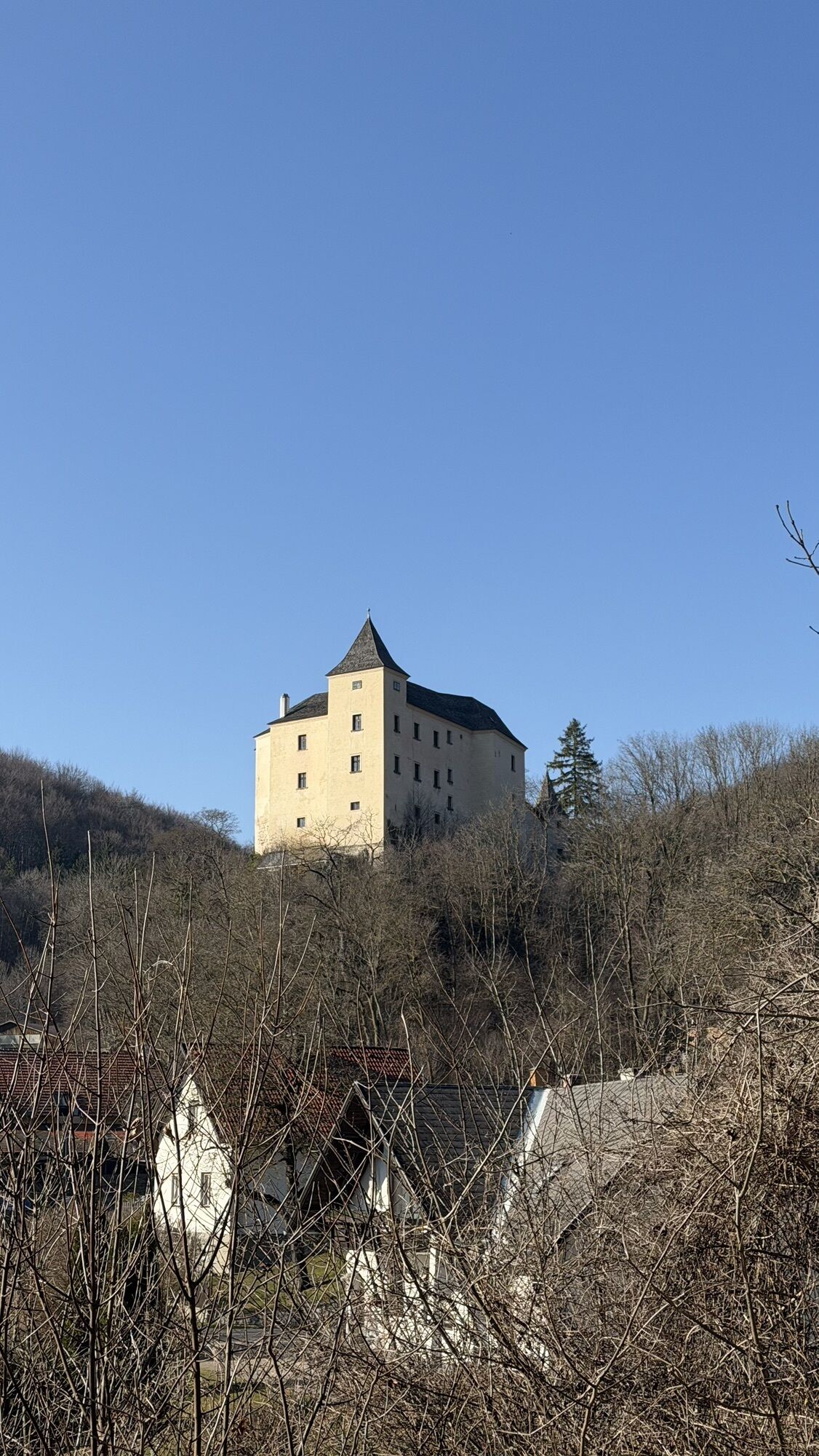
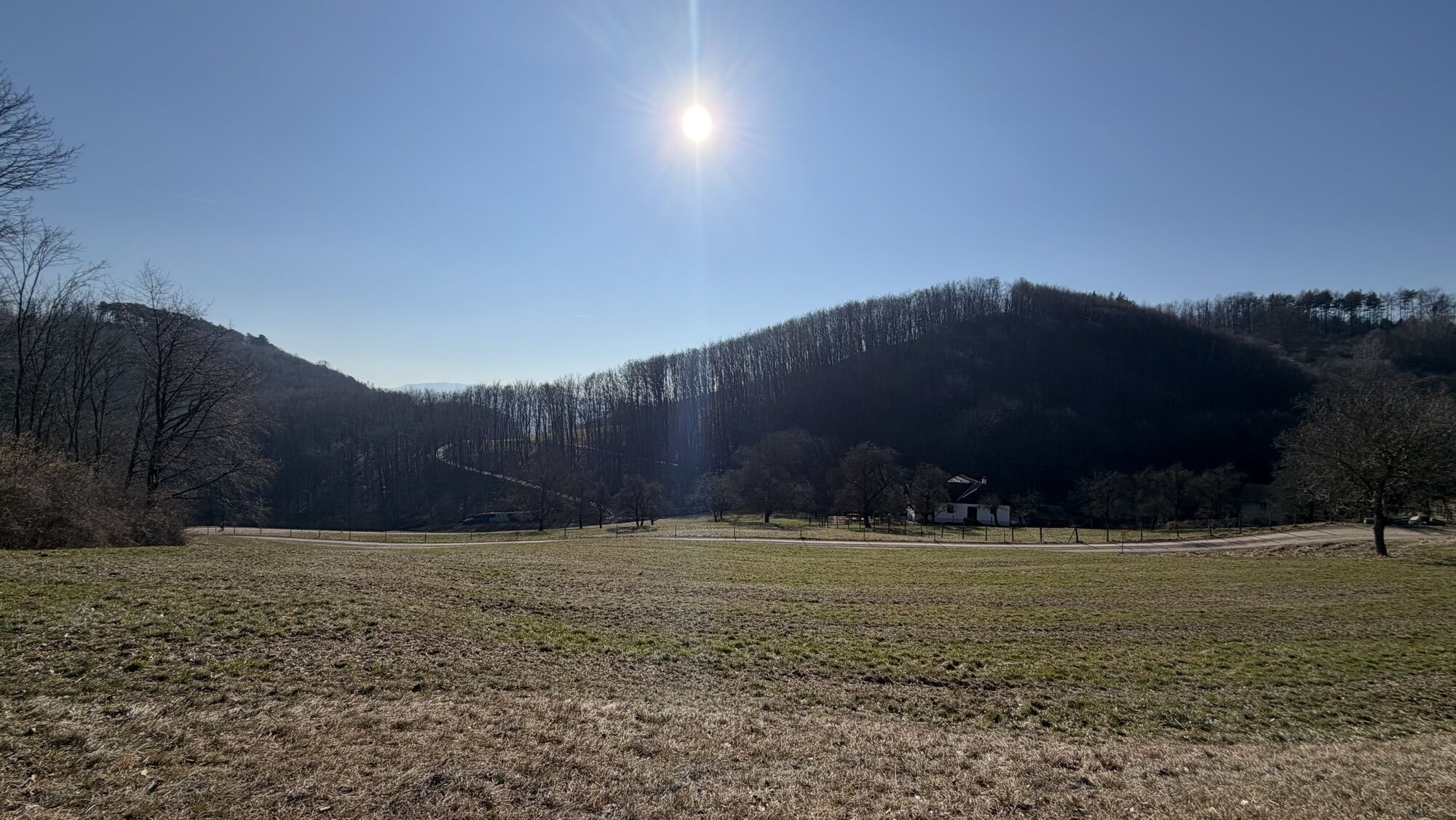
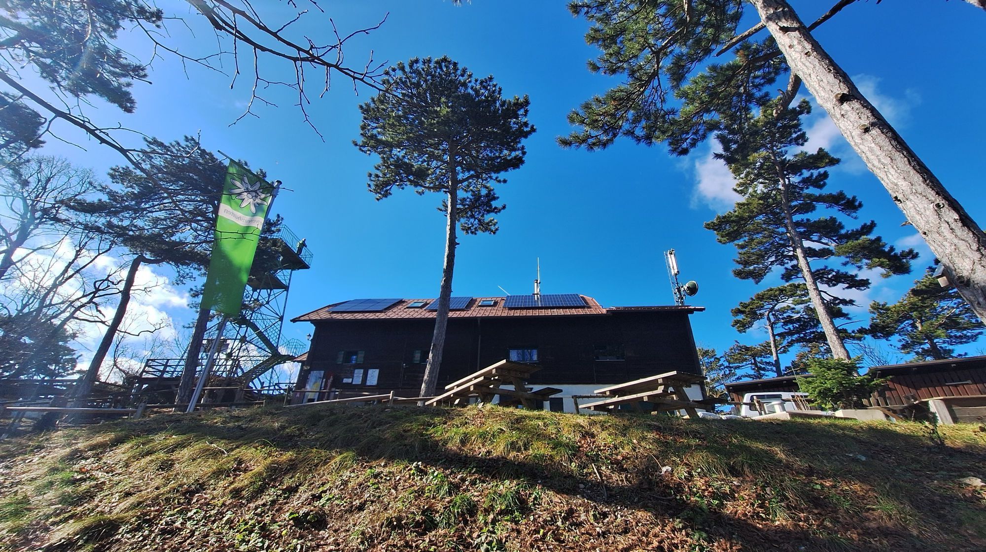
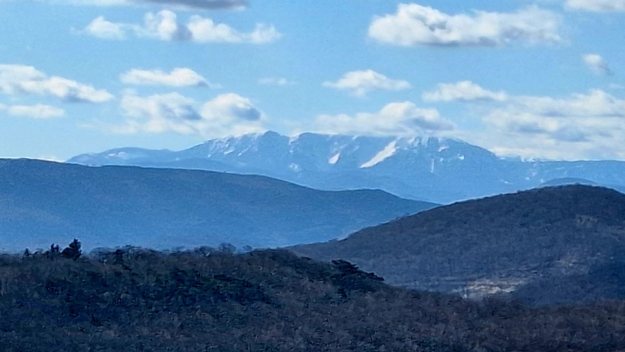
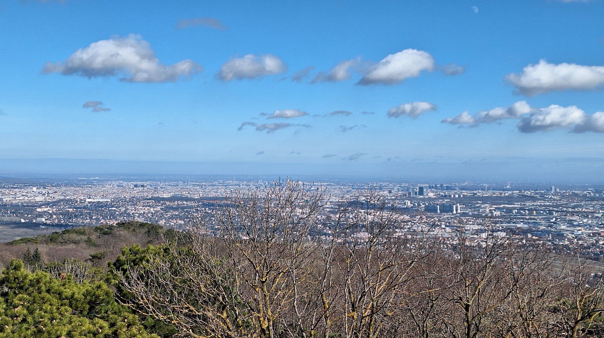
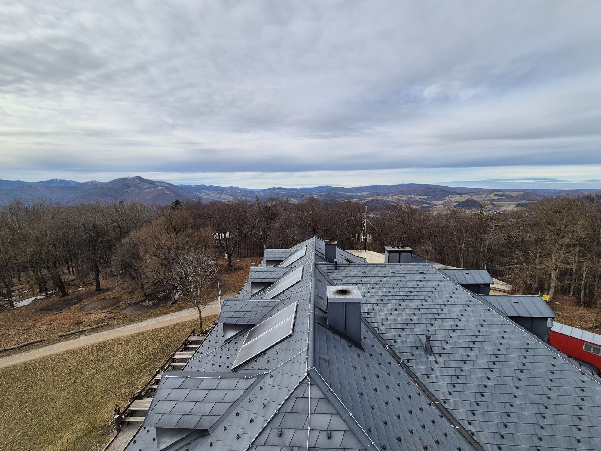
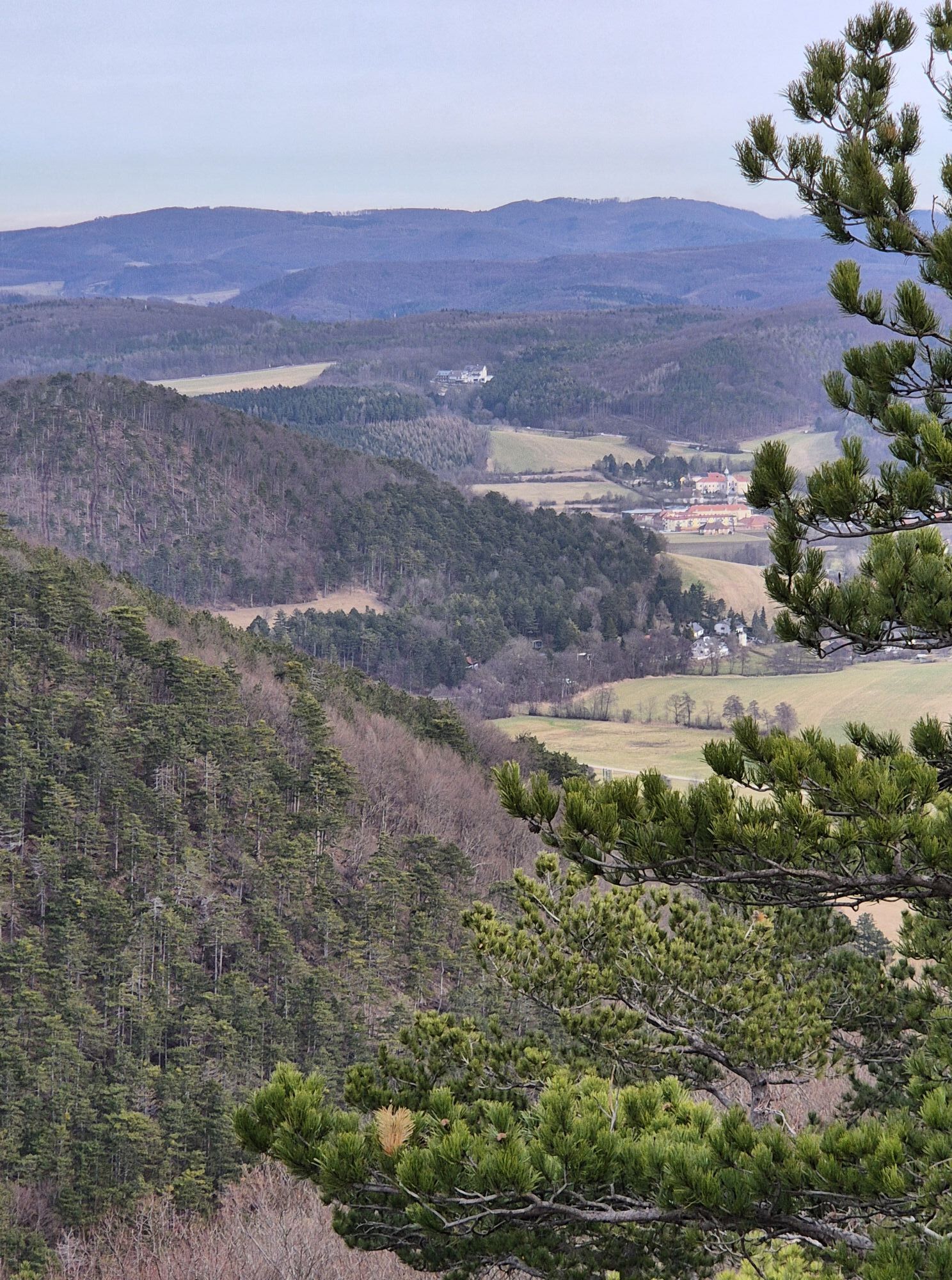
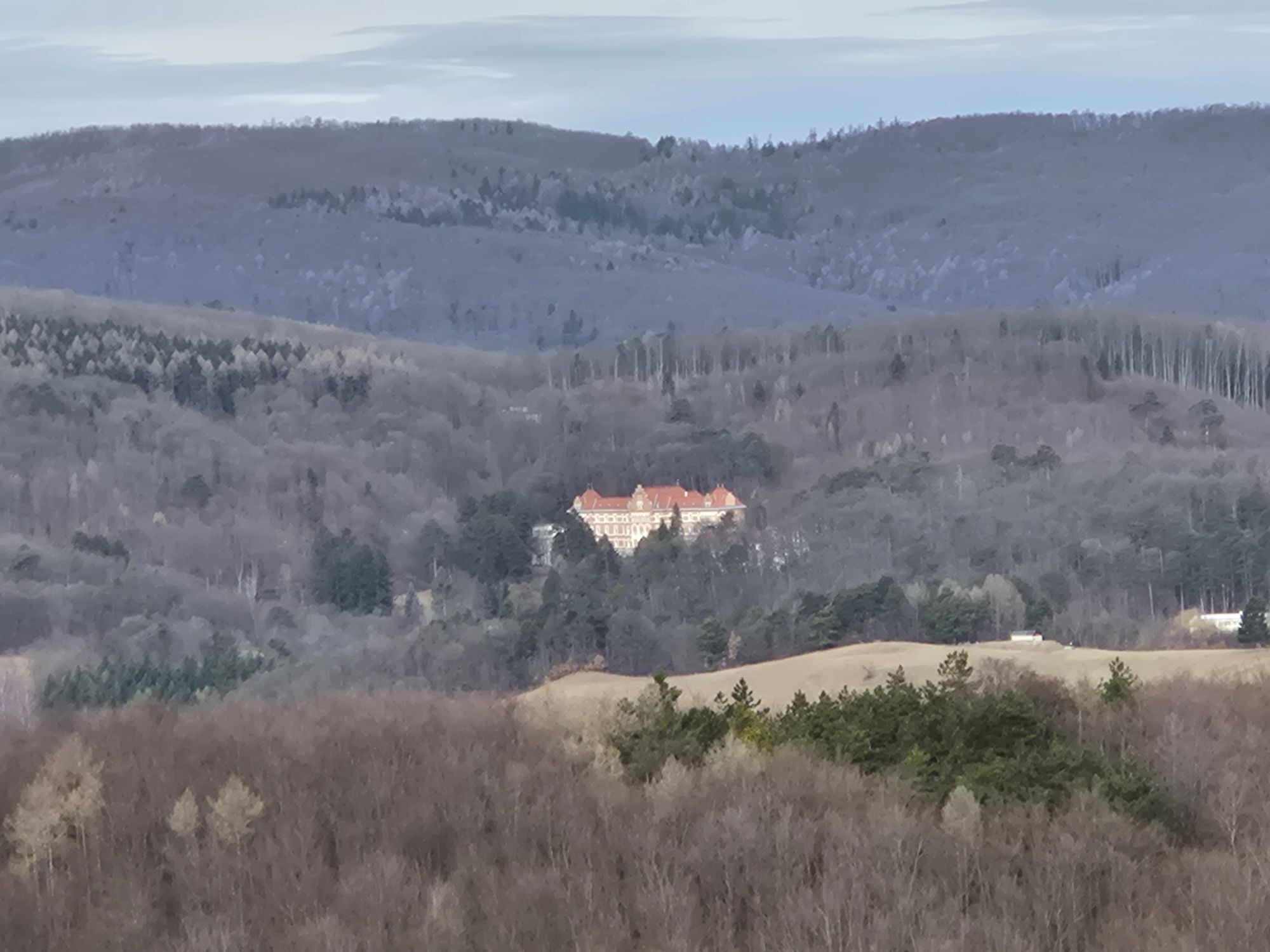
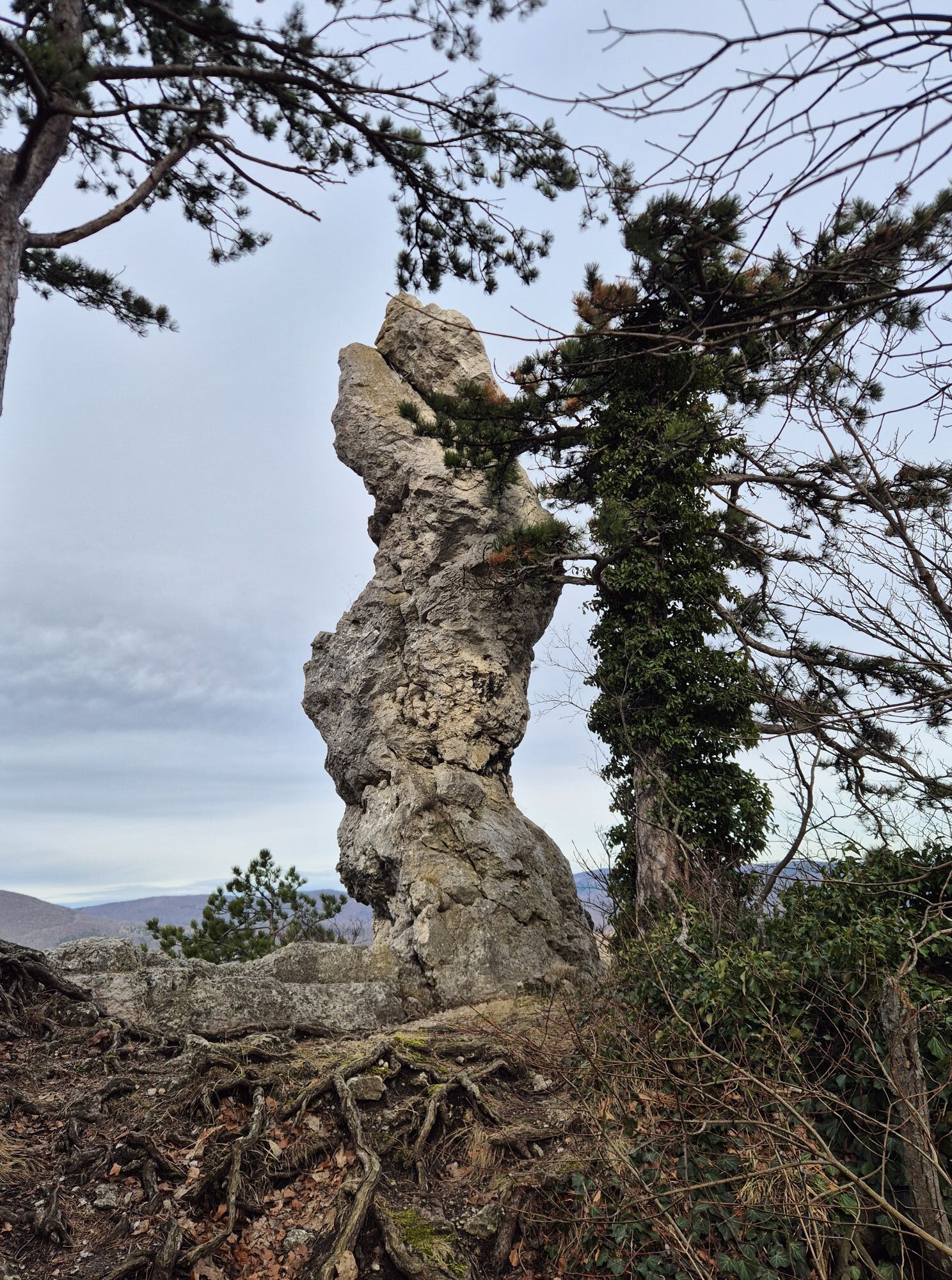
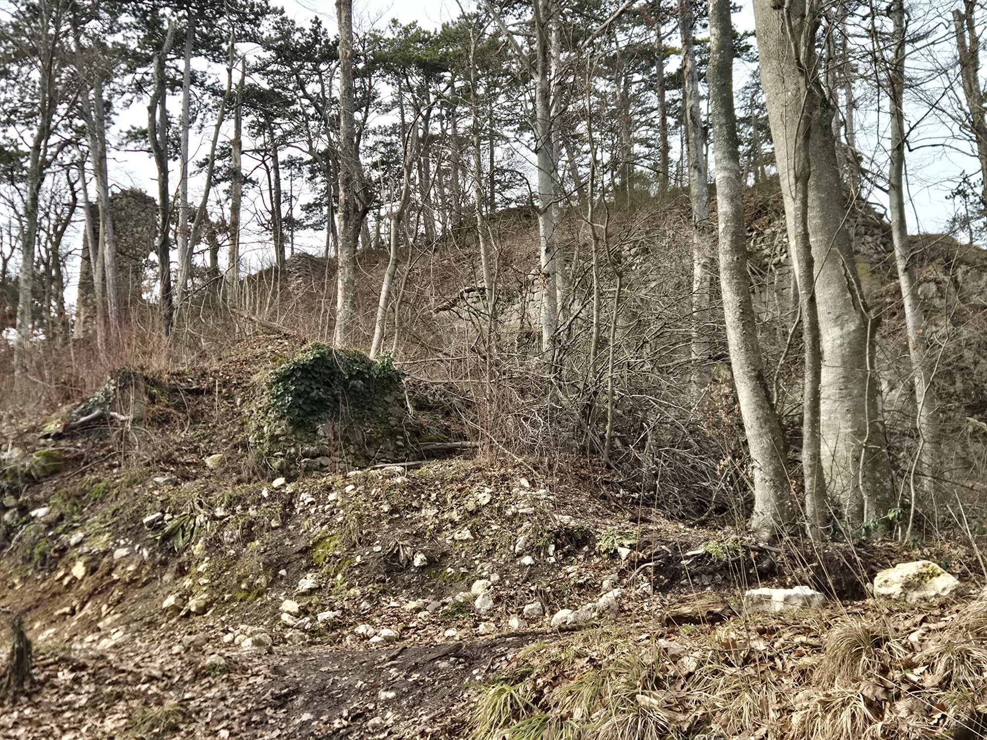
Journalist Axel N. Halbhuber on hiking in the Vienna Woods, August 2009
"I've said before that the scenery of the Austrian mountains impresses me on my hikes because great people have even greater stories...
Journalist Axel N. Halbhuber on hiking in the Vienna Woods, August 2009
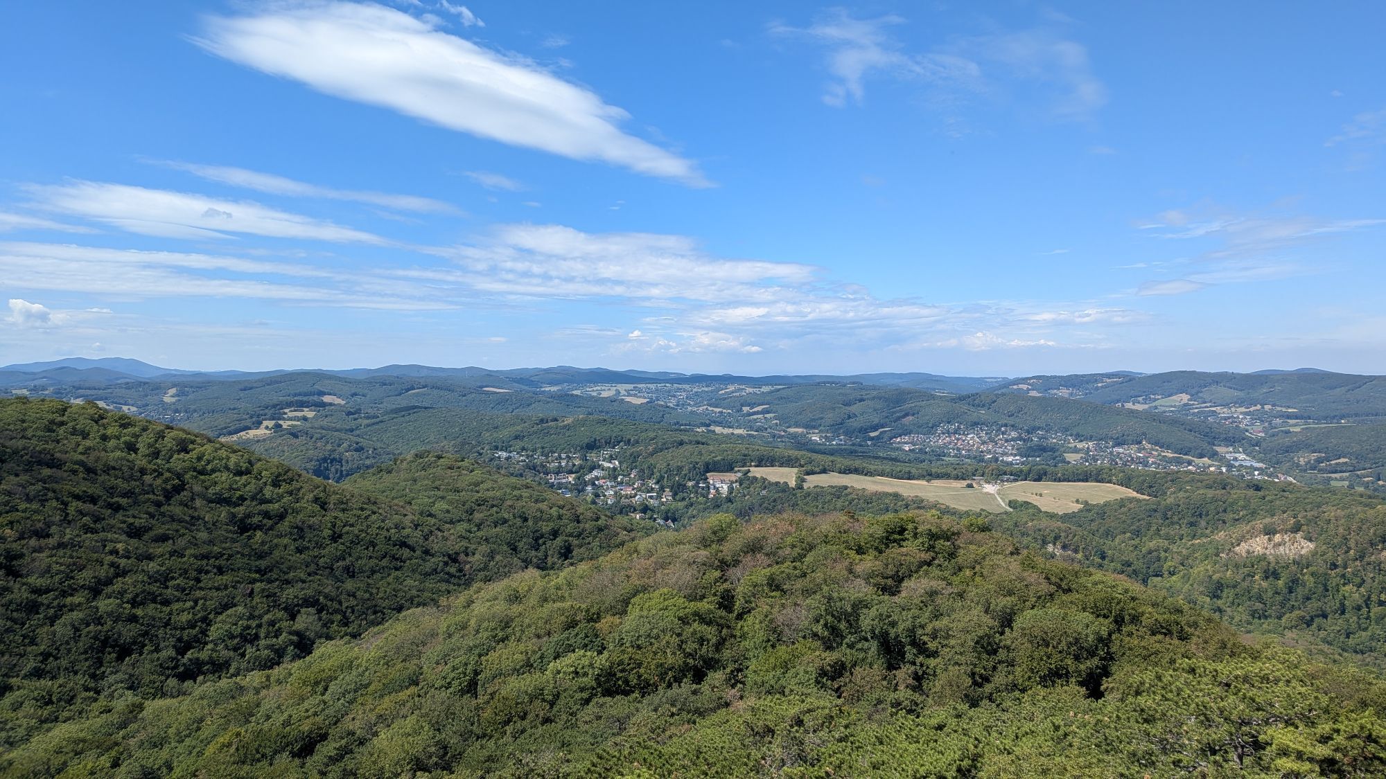
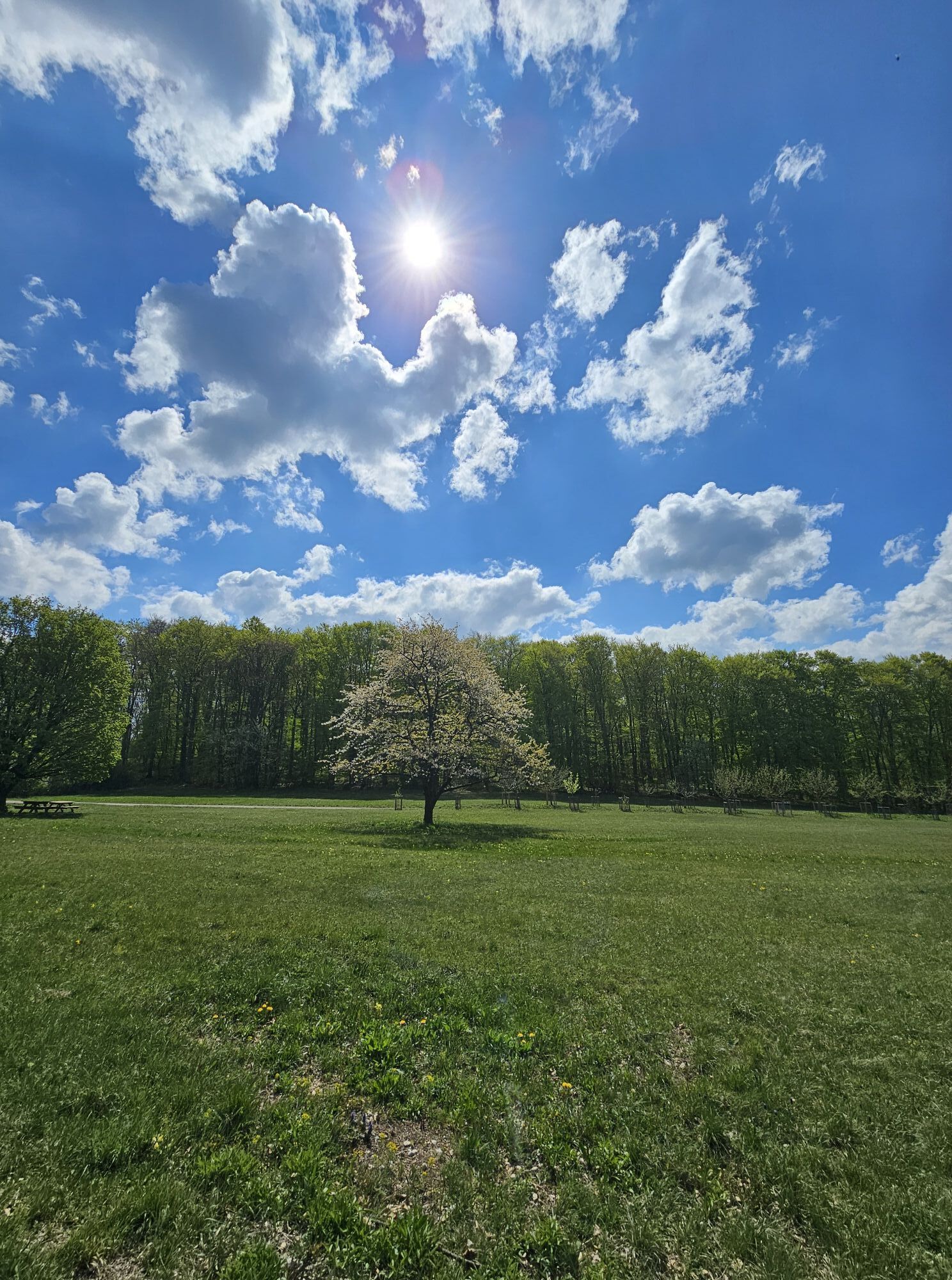
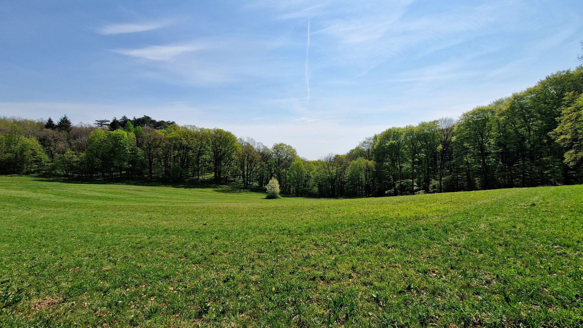
"I've said before that the scenery of the Austrian mountains impresses me on my hikes because great people have even greater stories to tell. It is the same with Lower Austria and the Vienna Woods: the lush greenery, the gentle peaks, the romantic paths and the priceless accessibility of nature are the scenery in which parents can show their children the country. Where even inexperienced hikers can quench their thirst for the mountains. And where I have found the perfect place to review my two-month long-distance hike through the whole of Austria."
Axel's route description through the Vienna Woods
Stage 1
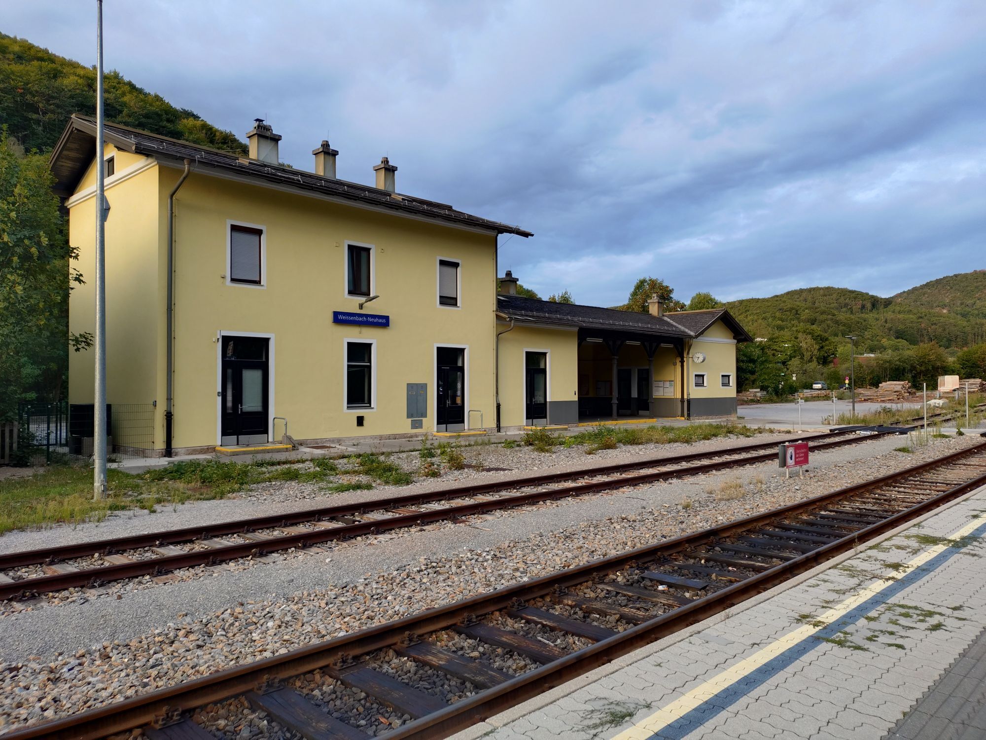
Weissenbach an der Triesting - Peilsteinhaus - Mayerling.
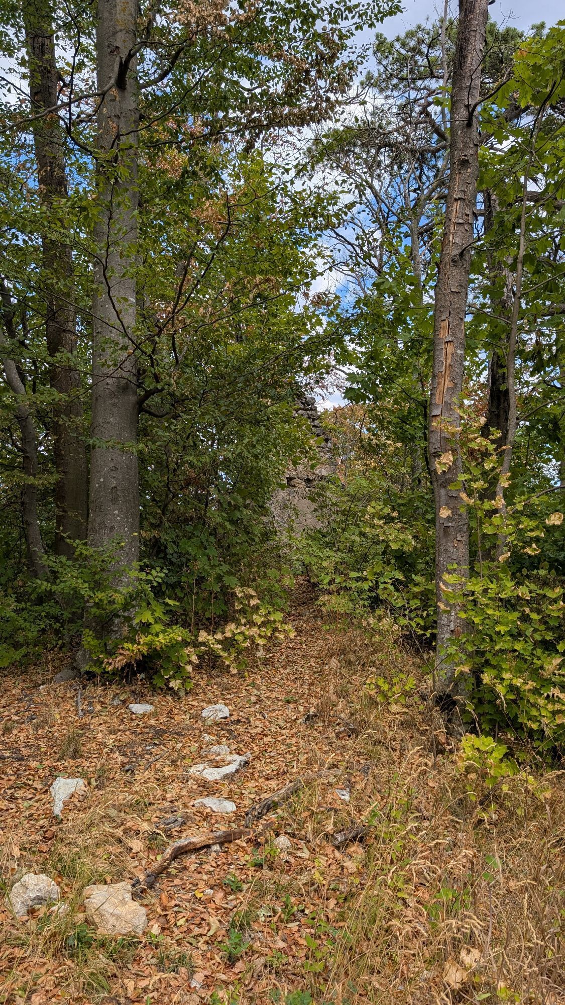
The markings are better again, the trail is a real walk for the eyes, for the legs, it's beautiful. For children, families and connoisseurs. As everywhere in smaller towns, be sure to book accommodation in advance!
Stage 2
Mayerling - Heiligenkreuz - Sittendorf - Kreuzsattel - Seewiese - Parapluieberg - Perchtholdsdorf - Rodaun (Vienna)
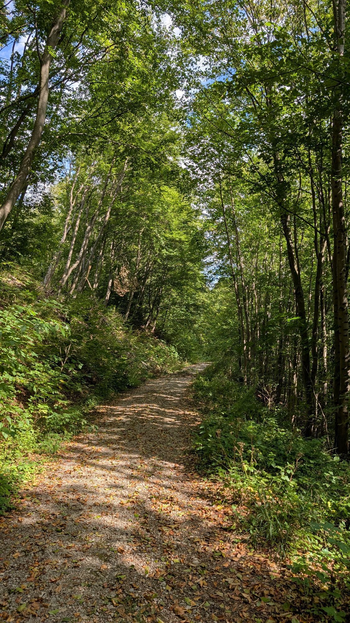
Good markings. A worthy, varied and damn easy final stage over a lot of forest road and with many cultural opportunities.


Travel Information: Please check the directions to the meeting point in advance and allow plenty of time. Be aware of possible traffic delays, road construction, or public transportation disruptions.
Parking Information: Please follow local parking regulations and check for any parking fees or time restrictions. We recommend checking the parking situation in advance to ensure a stress-free arrival.
Verantwortlicher für den Inhalt dieser Tour
Wienerwald
Letzte Aktualisierung: 29.11.2023
Infórmate
Siempre en directo con más de 9.500 webcams. bergfex Como usuario Pro, ahora puede ver las webcams correspondientes a muchos tours en la app de tours desde. Esto le permite ver las condiciones actuales directamente.
Actividades a lo largo del recorrido


Rutas populares en los alrededores
-
4,5
Erlebnisweg Peilstein...auf den Spuren der Kletterer
medioSendero temático 6 km -
4,8
Kalenderberg und Burg Liechtenstein
luzSenderismo 8,48 km -
4,7
AUGUSTINERHÜTTE Parkplatz bei B210 Hoher Lindkogel, Langes Tal 20221030
medioSenderismo 8,02 km -
4,7
Naturpark Sparbach
luzSenderismo 7,08 km -
4,6
Stadtwanderweg 6 / Zugberg - Maurer Wald (lt. Beschilderung)
luzSenderismo 13,3 km -
4,6
Angelos Touren: vom Helenental auf den Hohen Lindkogel
medioSenderismo 11,4 km -
4,6
Abend/Nachtwanderung Teufelstein
luzSenderismo 7,15 km -
4,6
Wienerwald: Maria Raisenmarkt - Peilstein
luzSenderismo de invierno 6,82 km -
4,6
Landschaftspark Liechtenstein - Angelos Touren
luzSenderismo 6,70 km -
4,6
Von Furth an der Triesting auf das Hocheck, zurück über Eberbach
medioSenderismo 14,3 km
Senderismo y rastreo


No se pierda las ofertas y la inspiración para sus próximas vacaciones
Su dirección de correo electrónico se ha añadido a la lista de correo.





