


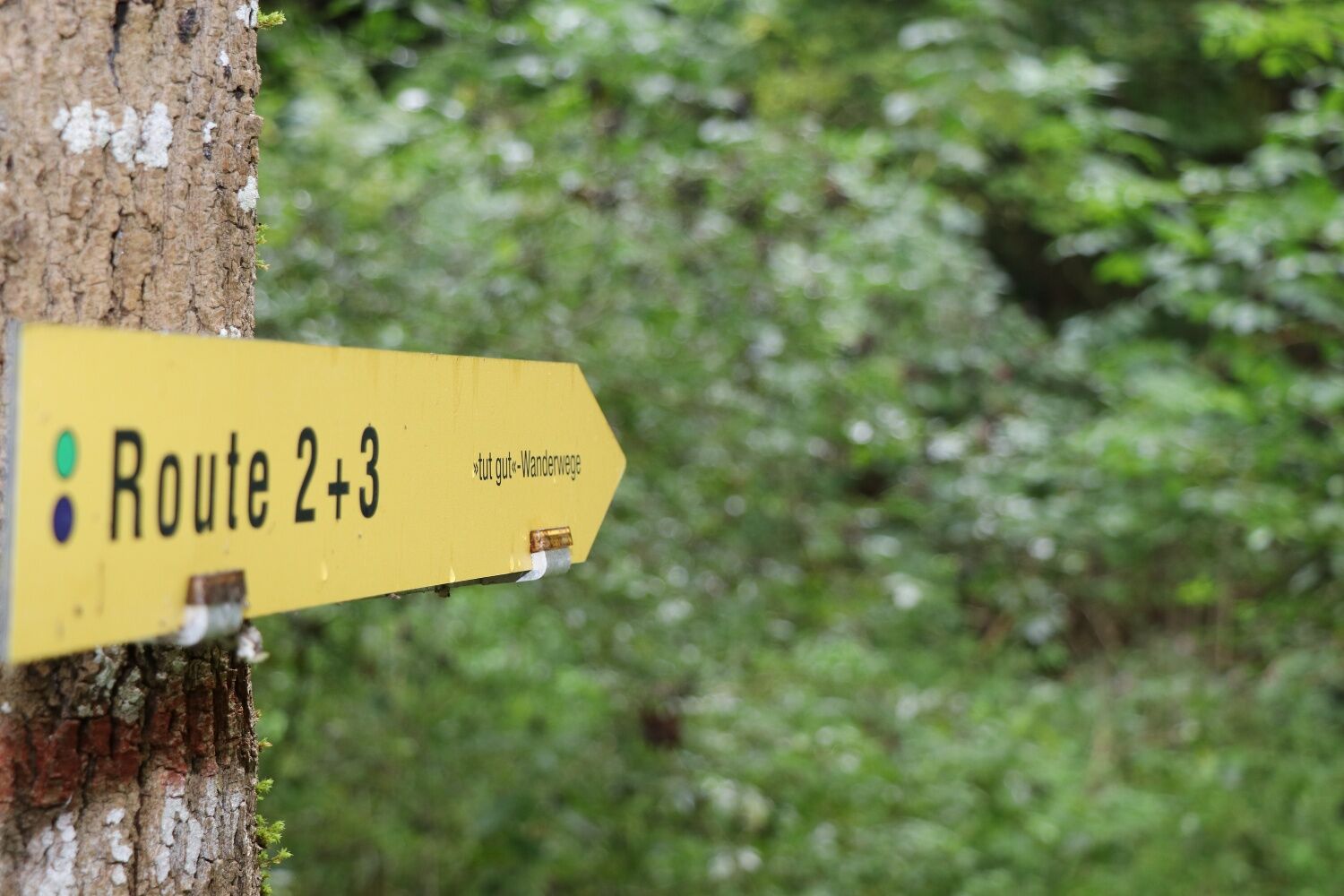
"Tut Gut!" Wanderweg Kottingbrunn_Route 4
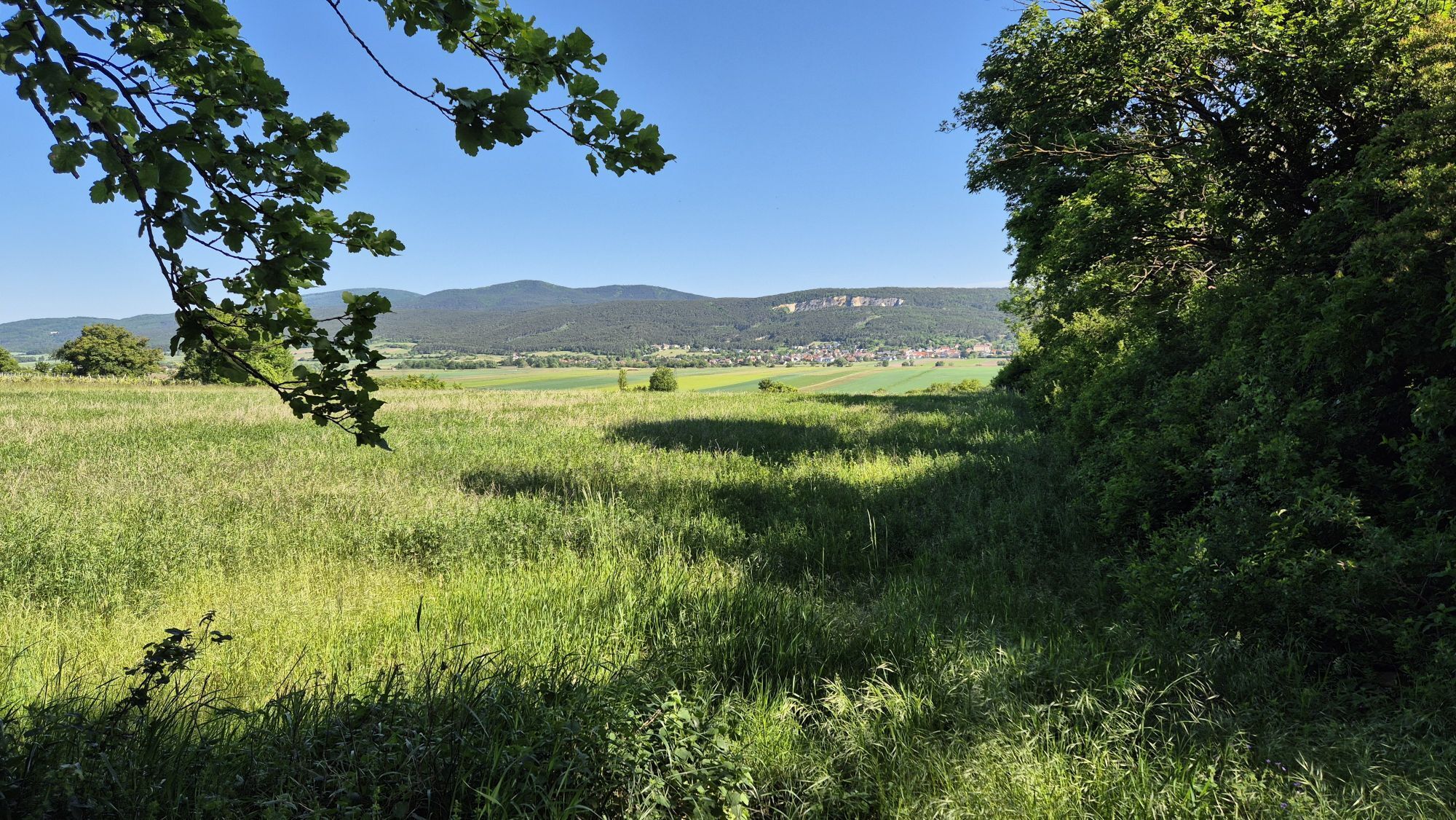
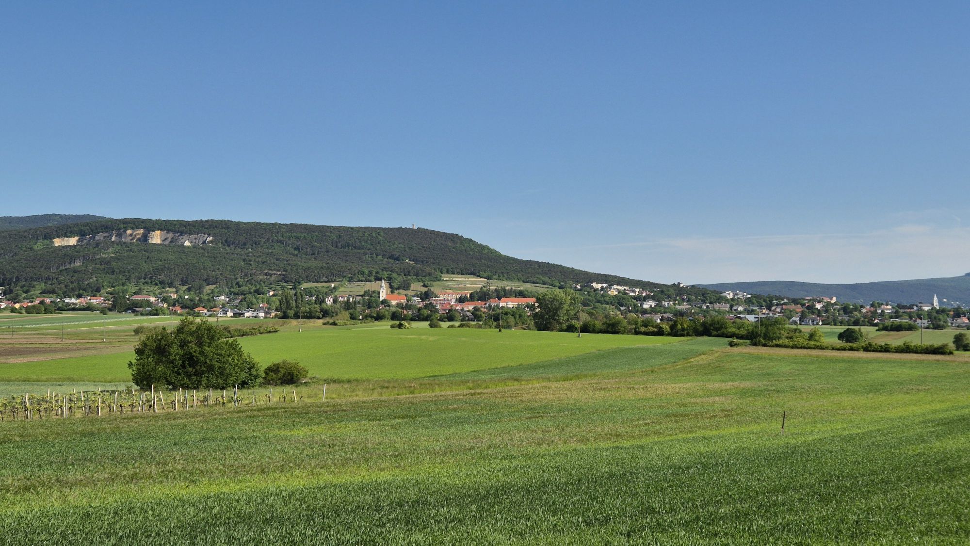
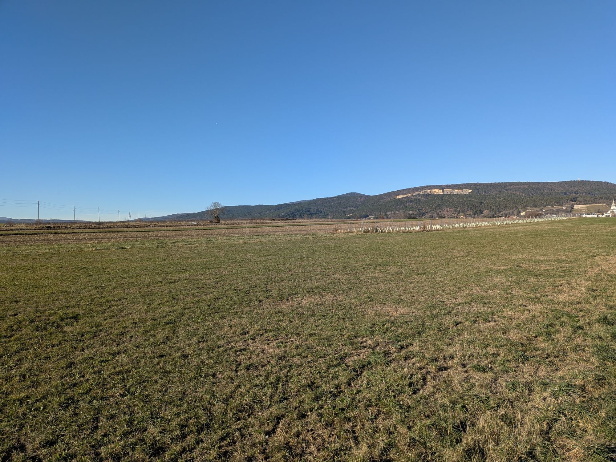
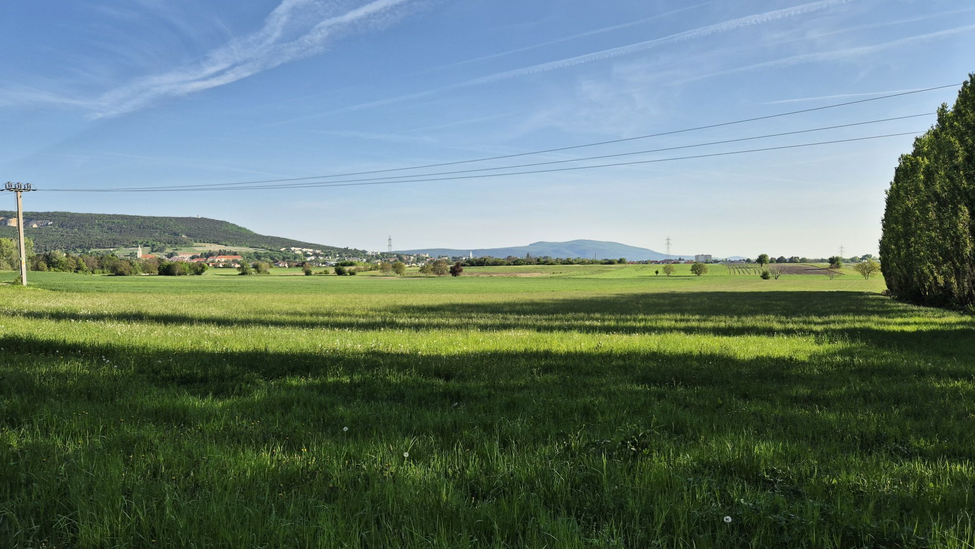


The market town of Kottingbrunn in the district of Baden is located in the Thermenregion Vienna Woods in the south of the Vienna Woods. The popular wine village looks back on a long history. The historic,...
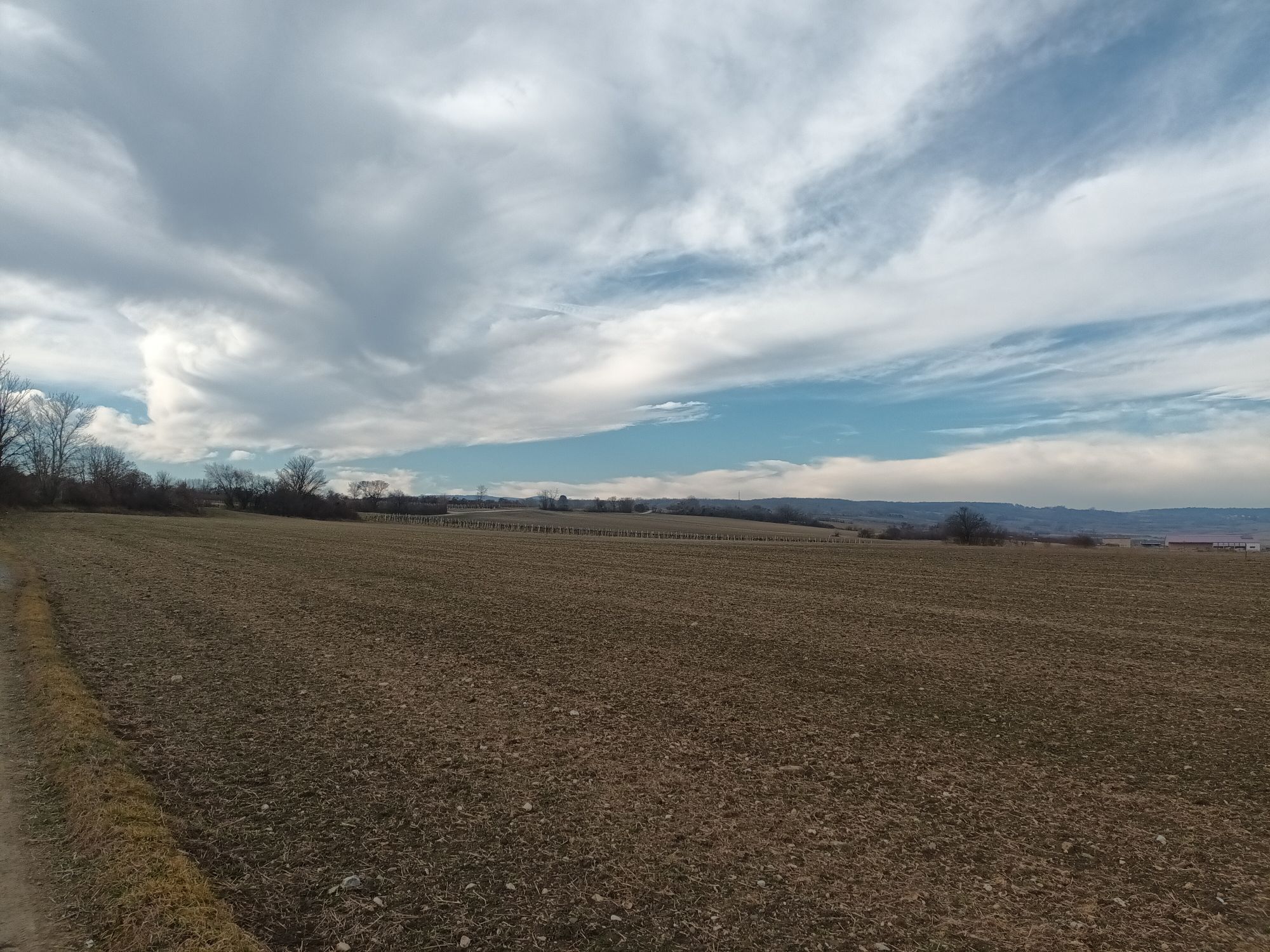
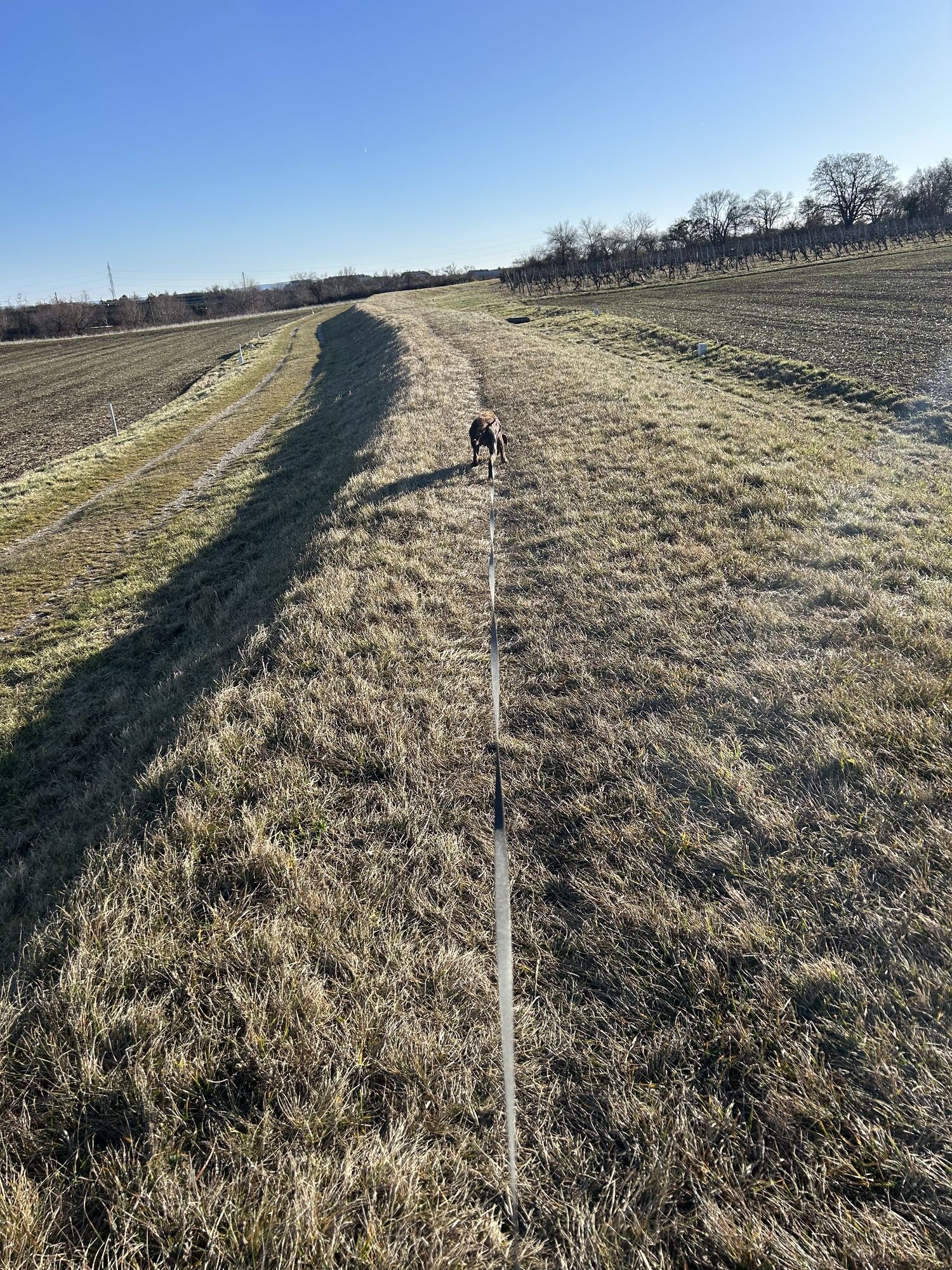
The market town of Kottingbrunn in the district of Baden is located in the Thermenregion Vienna Woods in the south of the Vienna Woods. The popular wine village looks back on a long history. The historic, almost 1,000-year-old moated castle is the landmark and at the same time the heart of Kottingbrunn. The natural monument of the castle park around the moated castle, the wild and romantic pond landscape and the Wiener Neustädter Canal invite you to explore and offer nature and relaxation. Nestled in the vineyards and as part of the Wienerwald biosphere reserve, Kottingbrunn offers numerous walking and hiking trails with fantastic views beyond the village. The "Tut gut!" hiking trails start right in the center at the moated castle and are ideal for families thanks to the flat routes.
©"Tut gut!"
The map for this hiking trail can be downloaded here.

Schutzmantelkapelle – Schanzbach – Hubertuskapelle – Im Brunnerberg – Biosphärenpark – Weingart Äckern – Jugendfreizeitanlage – Schutzmantelkapelle
festes Schuhwerk, Regenjacke, Trinken
„Tut gut!“ Gesundheitsvorsorge GmbH
Purkersdorfer Straße 8/1/5, 3100 St. Pölten
Wienerwald Tourismus GmbH
Hauptplatz 11, 3002 Purkersdorf
Tel.: 02231/ 62176
Besuchen sie nach dieser Runde das naheliegene Wasserschloss Kottingbrunn, welches neben gastronomischen Angeboten der Gerüchteküche auch das interessante Schlossmuseum anbietet.
Rutas populares en los alrededores
-
4,5
Erlebnisweg Peilstein...auf den Spuren der Kletterer
medioSendero temático 6 km -
4,7
AUGUSTINERHÜTTE Parkplatz bei B210 Hoher Lindkogel, Langes Tal 20221030
medioSenderismo 8,02 km -
4,6
Angelos Touren: vom Helenental auf den Hohen Lindkogel
medioSenderismo 11,4 km -
4,6
Wienerwald: Maria Raisenmarkt - Peilstein
luzSenderismo de invierno 6,82 km -
4,5
Baden Helenental Krainerhütte Cholerakapelle RDW
medioSenderismo 10,1 km -
4,8
Wienerwald: Vom Richardshof zum Husarentempel - Angelos Touren
luzSenderismo 10,6 km -
4,4
Anninger mit beiden Aussichtswarten von Gumpoldskirchen aus
medioSenderismo 8,10 km -
4,3
Anninger über Husarentempel auf die Wilhelmswarte
medioSenderismo 16,2 km -
4,7
Hohe Wand: Dreistetten - Herrgottschnitzerhaus
luzSenderismo 6,51 km -
4,2
Jubiläumswarte am Anninger - Angelos Touren
luzSenderismo 7,62 km
Senderismo y rastreo


No se pierda las ofertas y la inspiración para sus próximas vacaciones
Su dirección de correo electrónico se ha añadido a la lista de correo.