




GrossGemeindeRundWanderWeg Ziersdorf


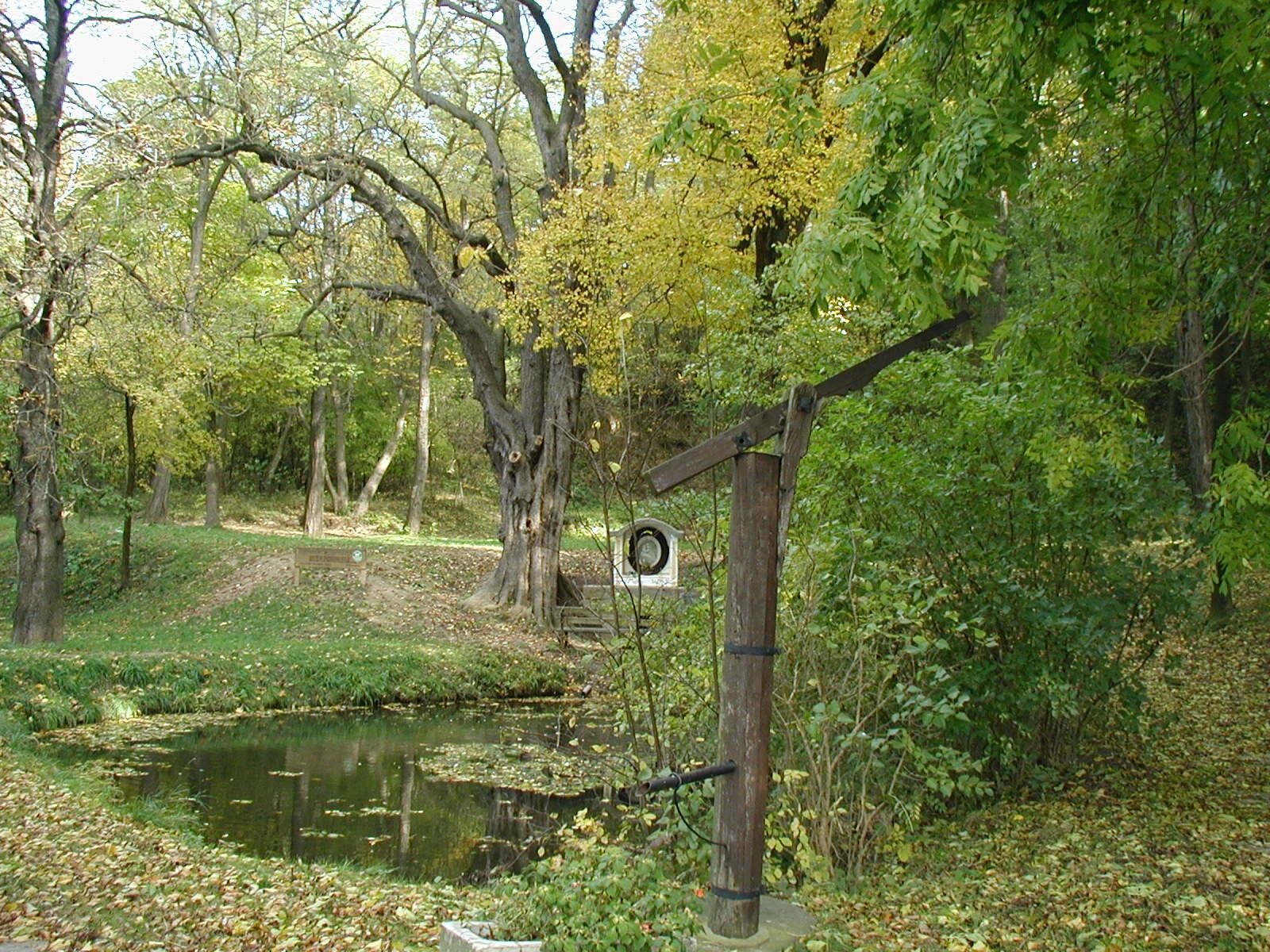
The GGRWW leads over a total distance of 32 kilometers through all cadastral communities of Ziersdorf, taking an average of 7 hours to walk through vineyards and fields, in shady forests and along streams...
The GGRWW leads over a total distance of 32 kilometers through all cadastral communities of Ziersdorf, taking an average of 7 hours to walk through vineyards and fields, in shady forests and along streams and biotopes.Striking vantage points offer wonderful views over the Schmidatal and invite you to linger, but there are also interesting buildings to visit such as the Brandlhof in Radlbrunn, the Weinviertel Concert Hall in Ziersdorf with its Art Nouveau hall or the baroque parish church in Gettsdorf. a detailed map is available free of charge from the municipal office.


Verantwortlicher für den Inhalt dieser Tour
Weinviertel Tourismus GmbH
Letzte Aktualisierung: 17.03.2025
Rutas populares en los alrededores
-
4,5
DAC Radtour-Weinviertel
medioCiclismo 55,1 km -
4,8
Kellergassen-Tour
pesadoCiclismo 38,3 km -
4,0
Weinwanderweg Wetzdorf
luzSendero temático 6,51 km -
4,0
Rivaner-Radtour
Ciclismo 54 km -
4,8
Von Mühlbach am Manhartsberg zur Krotenmühle
luzSenderismo 3,17 km -
5,0
Eggenburg und Kogelsteine
luzSenderismo 8,25 km -
RUSSBACH Dauers- und Haberg Kalte Stube Hirschberg 20200315
medioSenderismo 14 km -
4,0
Riesling Radrunde
medioCiclismo 46,8 km -
3,5
Stadtmauernrundweg
luzSenderismo 2,14 km -
5,0
GRAFENBERG Kogelstein Vitus- und Kalvarienberg Wartberg Kogelstein Fehhaube 20201229
luzSenderismo 14,4 km
Senderismo y rastreo


No se pierda las ofertas y la inspiración para sus próximas vacaciones
Su dirección de correo electrónico se ha añadido a la lista de correo.


