






Route to the Weingartleitenhof D11
<p>More excursion tips in Kirchschlag under "<strong>Author's Tip</strong>"</p>


<p>Start at the parking lots in Kirchhof/City Museum. There is also a public WC here. Go through the archway, cross the street to the left and turn into Lindengasse. Before the curve, continue straight into the dry ditch. Simply follow this path to the Weingartleitenhof.</p>
Sí
<p>Always take suitable hiking maps with you. Wear sturdy shoes adapted to the route, bring sun and rain protection as well as water and some food. Take your mobile phone with you and save the mountain rescue emergency number: 140</p>
<p>Make sure the route you choose matches your experience and fitness level. Check the weather forecast in advance. Weather in the mountains can change surprisingly fast. Therefore, always set out properly equipped (e.g., rain protection, snacks, drinks,...). Check whether the restaurants and huts you want to visit are open. Inform someone about your chosen route and your planned return time before setting off.</p>
<p><strong>From Vienna:</strong> Take the South Motorway A2, exit at Krumbach. Continue on the Krumbach junction. Continue on Kirchschlager Str./B55 to Kirchschlag.</p><p><strong>From Graz:</strong> Take the South Motorway A2, exit at Aspang-Zöbern. Turn right onto L137. Continue on Kampichl and Hauptstraße. Hauptstraße bends to the left in Zöbern and becomes Austraße. Follow L137 to Unterhaus near Krumbach and turn right to Kirchschlag.</p>
<p>By train to the Edlitz/Grimmenstein station, then continue by regional bus 390 to "Gemeindeamt" Kirchschlag. Continue on foot to Kirchengasse, past the rose garden, turn left at the intersection, past the church, to the parish office.</p><p>VOR route planner: anachb.vor.at</p><p>Öbb: www.oebb.at</p>
<p>Parking is available free of charge</p>
Sights in Kirchschlag:
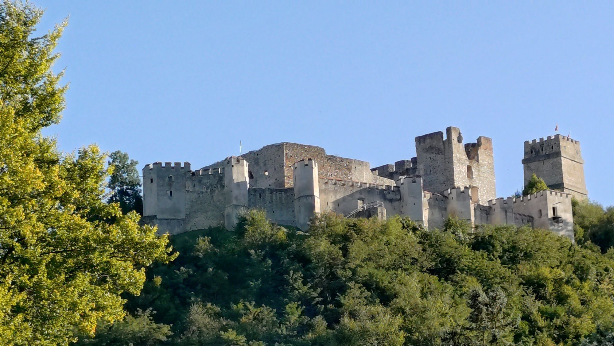
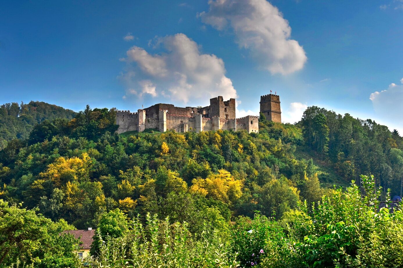
Kirchschlag Castle Ruins
Kirchschlag Rose Garden
Kirchschlag Fortified Church
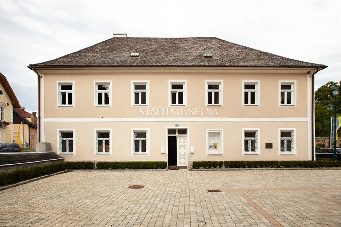
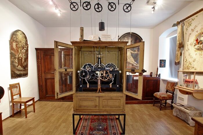
Kirchschlag City Museum
Others:
Kirchschlag Castle Bath
Infórmate
Siempre en directo con más de 9.500 webcams. bergfex Como usuario Pro, ahora puede ver las webcams correspondientes a muchos tours en la app de tours desde. Esto le permite ver las condiciones actuales directamente.
Rutas populares en los alrededores
-
4,1
"Weg der Blicke"
luzSenderismo 5,86 km -
4,4
Bad Schönau - Hutwisch
luzSenderismo 9,99 km -
4,8
Camino de experiencia para niños Bakabu hacia Hutwisch
medioSendero temático 5,42 km -
4,4
BAD-SCHÖNAU Hutwisch und wieder zurück 20220611
medioSenderismo 10,8 km -
2,9
Tour en Dresina Sonnenland
luzCiclismo 23,0 km -
4,8
Carril bici B41 Zöberntal-Rabnitztal
medioCiclismo 40,7 km -
4,5
Ruta Glasgraben
medioSenderismo 12,9 km -
3,0
Ruta ciclista R1 Jubilee
pesadoCiclismo de larga distancia 272,3 km -
2,5
Route planned on April 16, 2014
medioSenderismo 25,8 km -
5,0
Zöbernbach Radweg
medioCiclismo 28,5 km
Senderismo y rastreo


No se pierda las ofertas y la inspiración para sus próximas vacaciones
Su dirección de correo electrónico se ha añadido a la lista de correo.





