





WAB - Stage 3: Thernberg - Wiesmath
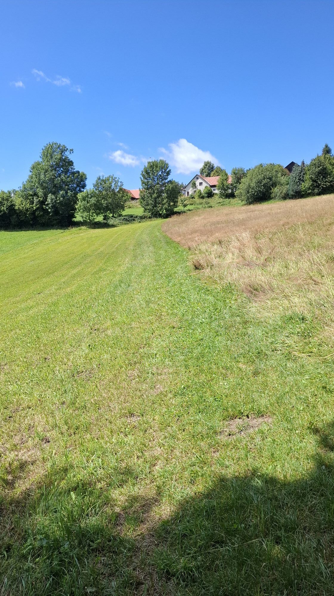
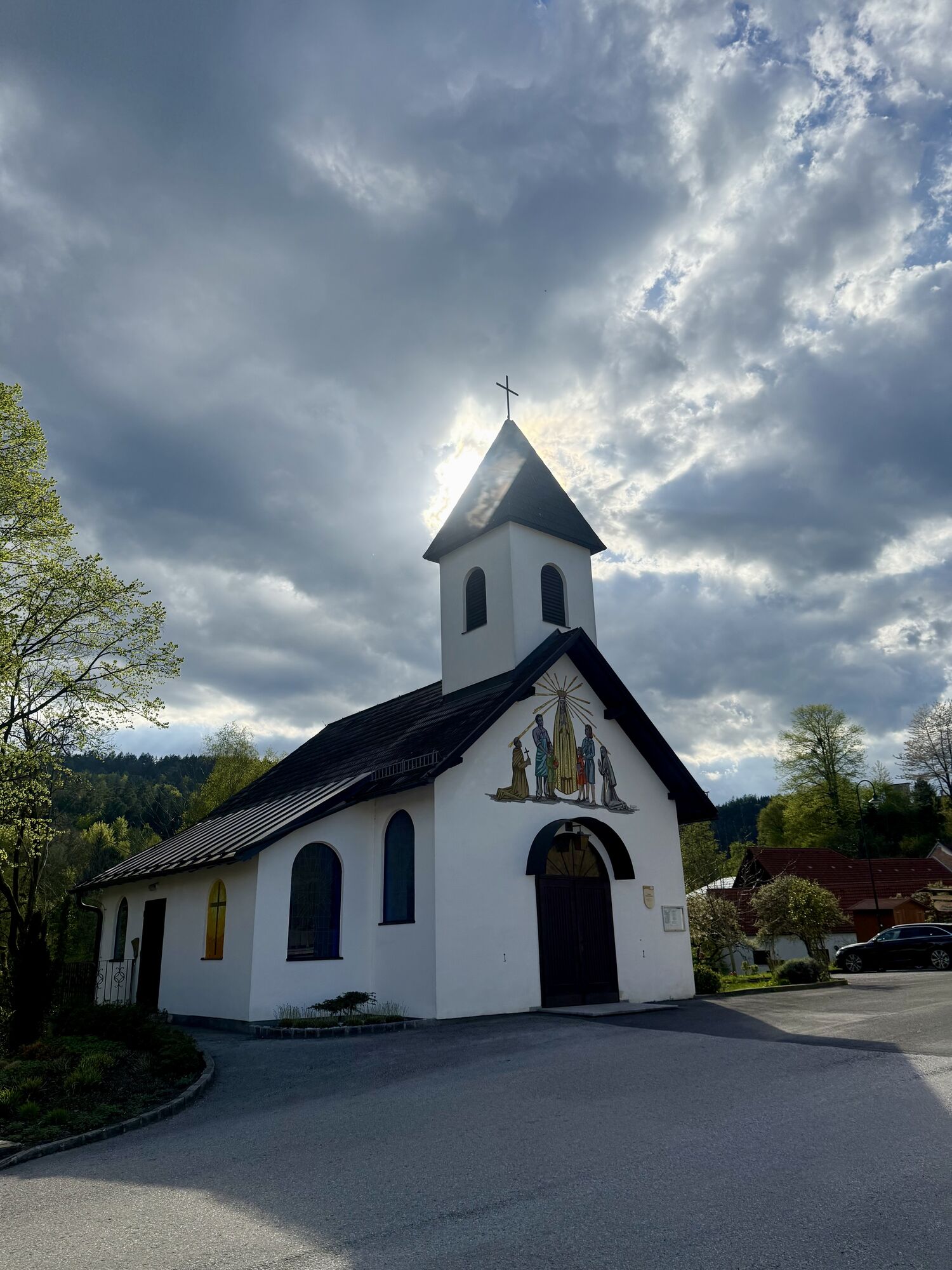
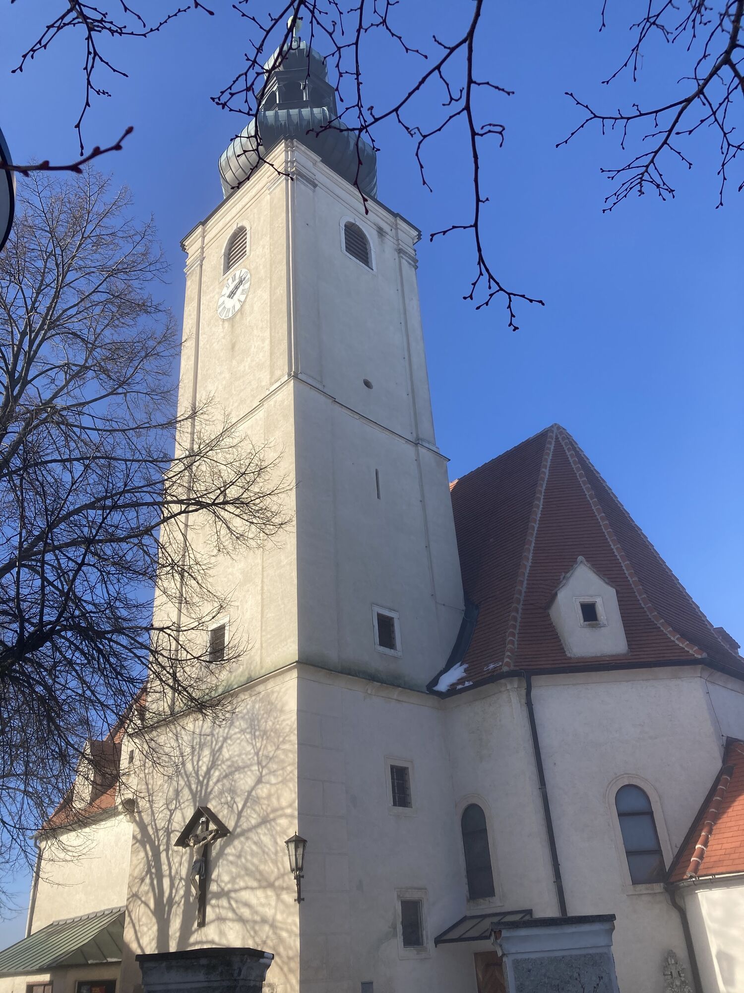
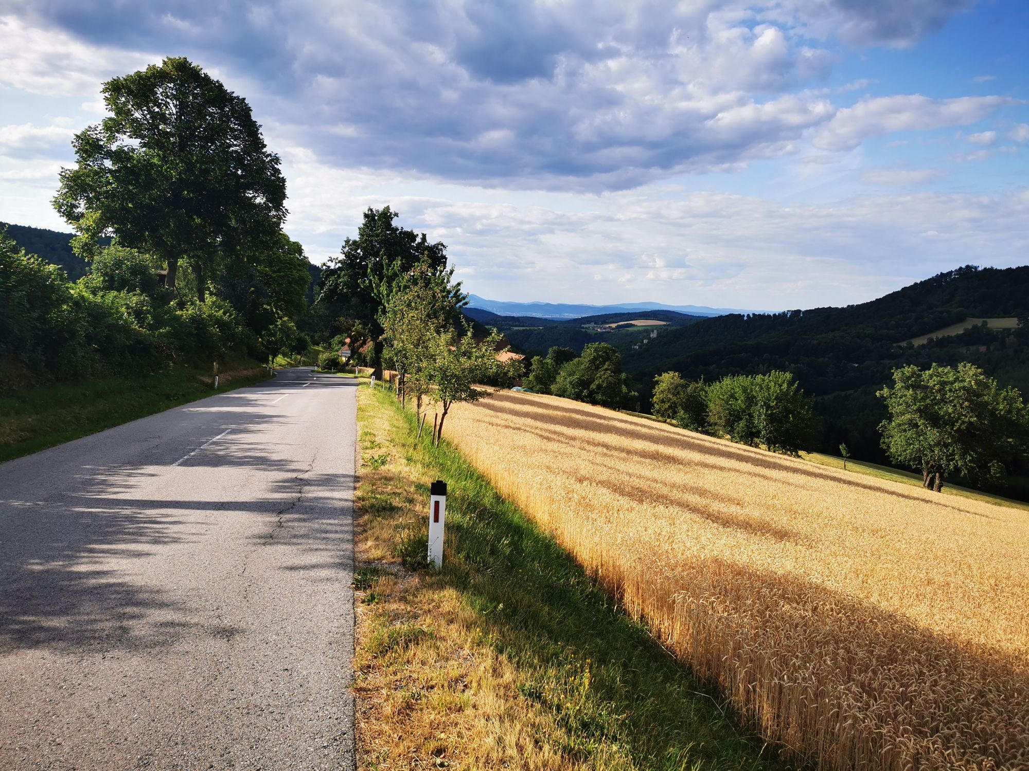
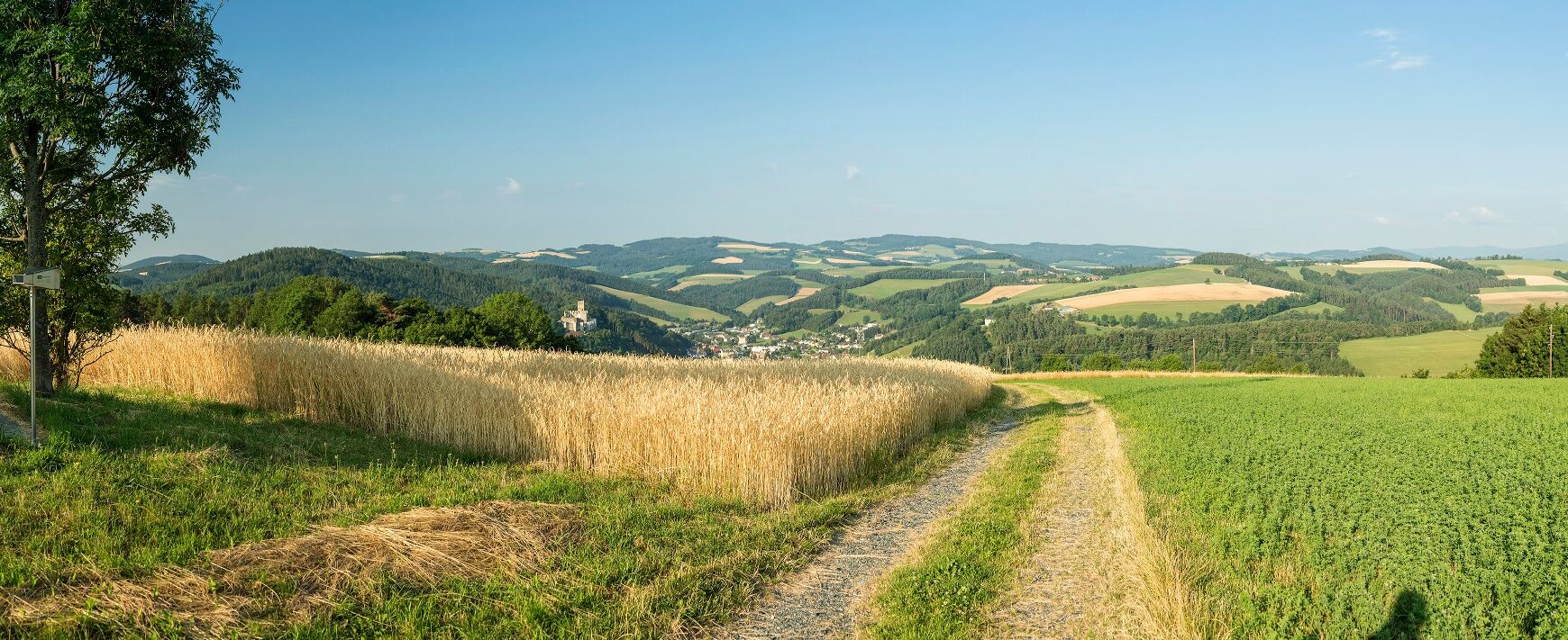
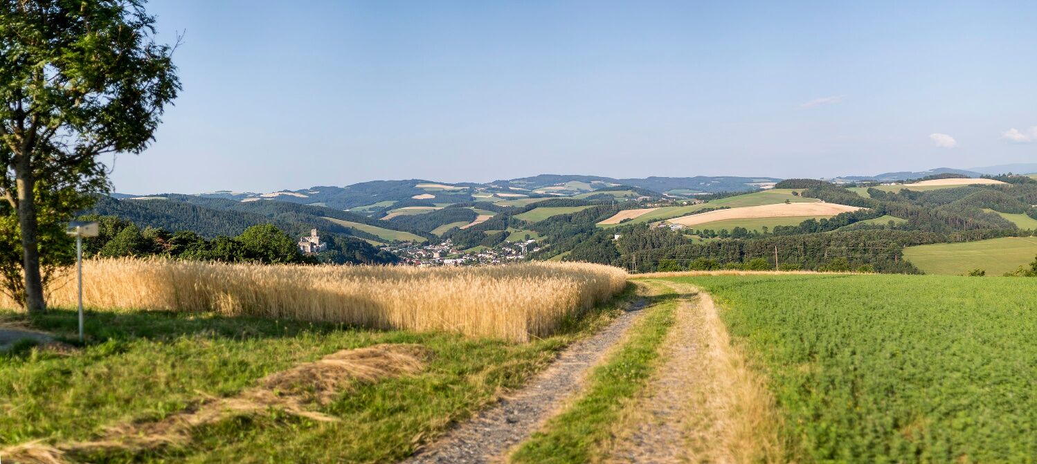
The historic village center of Thernberg impresses with its atmospheric ambiance. The first part of the path along a lightly trafficked road repeatedly offers great views back to the ruins of Thernberg....
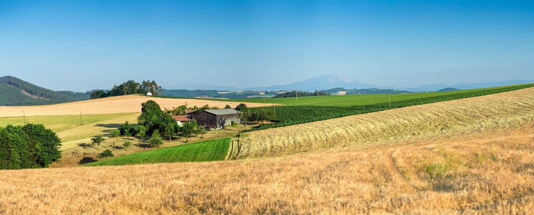
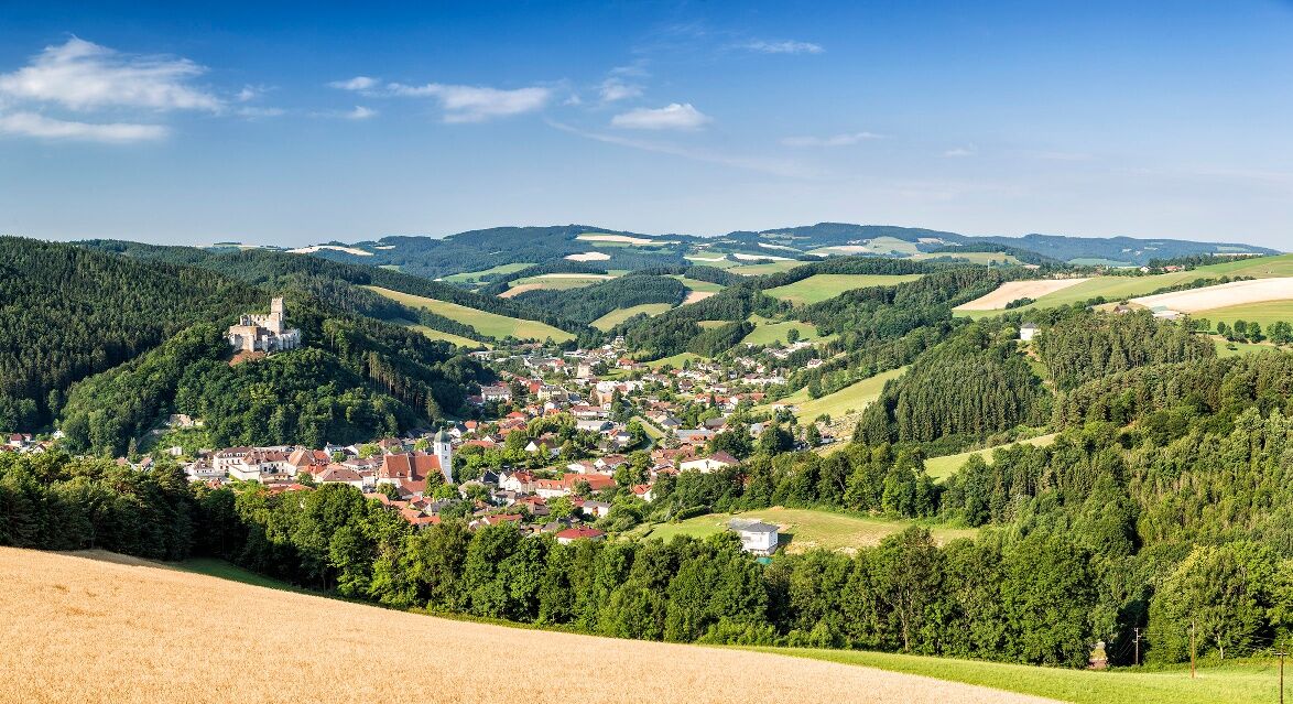
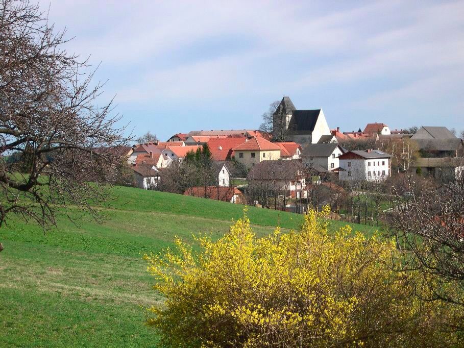
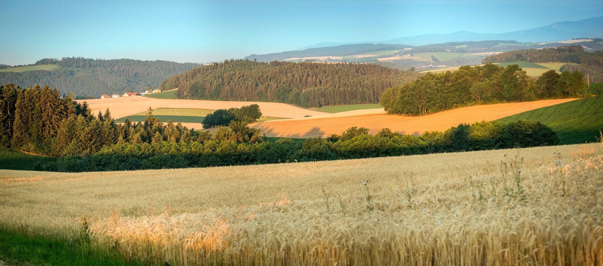
<p>The historic village center of Thernberg impresses with its atmospheric ambiance. The first part of the path along a lightly trafficked road repeatedly offers great views back to the ruins of Thernberg. Shortly before Maria Schnee, the landscape opens up and gives a view over the Bucklige Welt: meadows, fields, groves, and villages alternate at short intervals, the terrain is very hilly and surprises with deep ditches. Spiritual experiences are offered by the pilgrimage churches Maria Schnee and St. Anna.</p><p><strong>Attention:</strong> at the beginning of the path, a section leads along the roadside – wear highly visible clothing and pay close attention to traffic!</p>

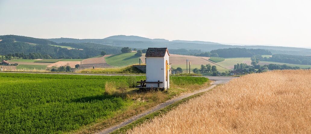
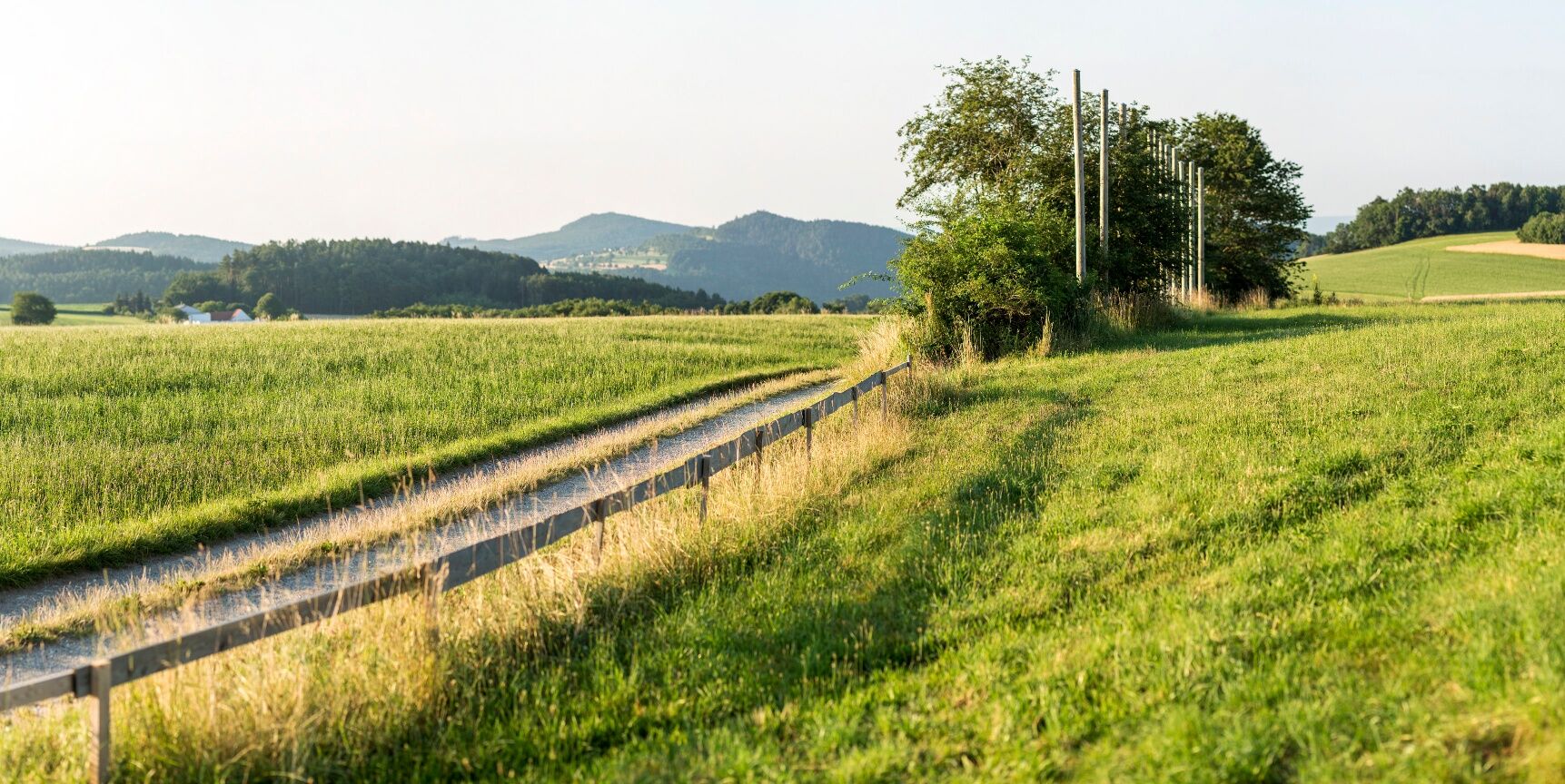

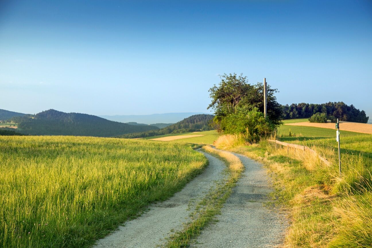
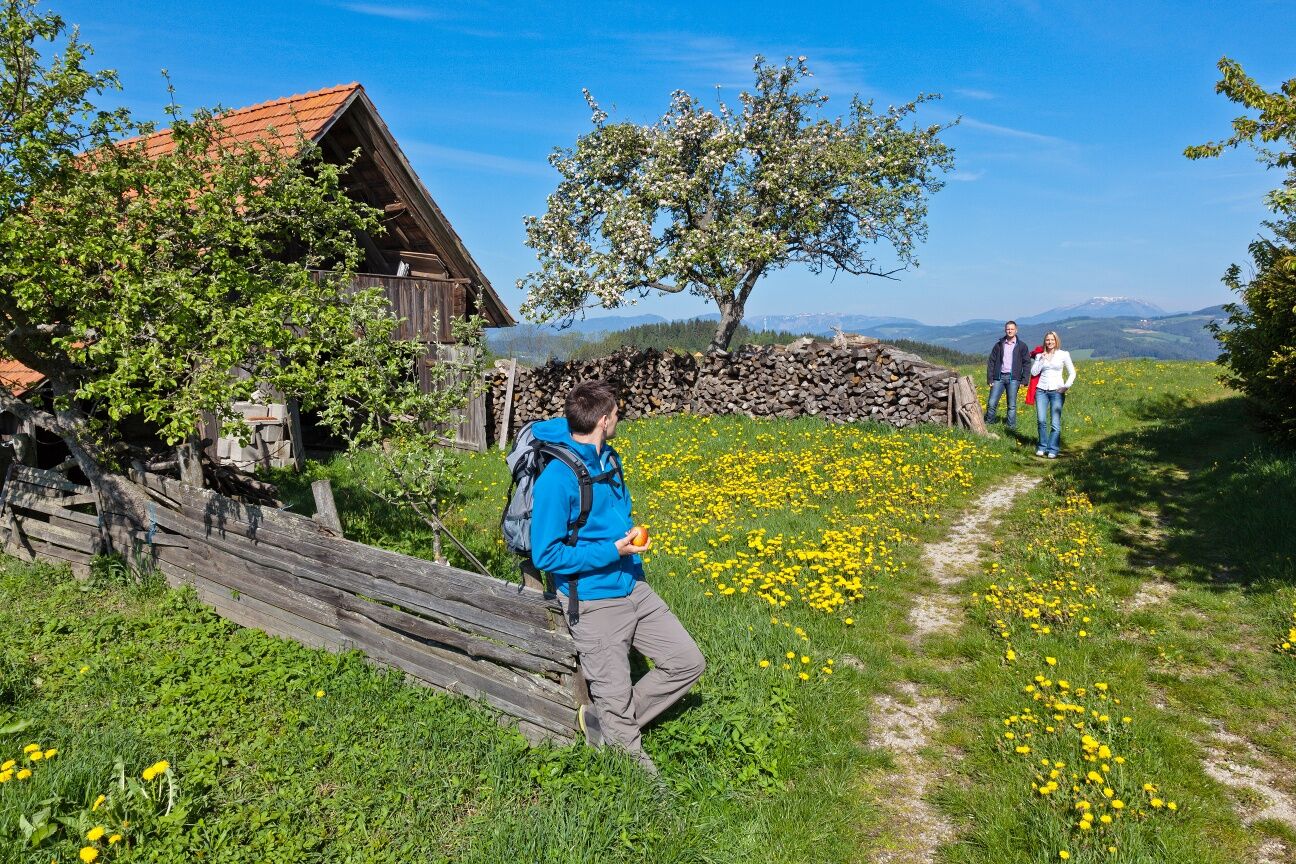

<p><strong>Attention:</strong> at the beginning of the path, a section leads along the roadside – wear highly visible clothing and pay close attention to traffic!</p><p>We start at the Landgasthaus Thaler, go directly past it on the left, pass the church and the Erzherzog-Johann-Platz on the right and walk the next 3.8 kilometers uphill along the road towards Wiesmath. A few minutes after the village of Eichberg, we turn right at a left-hand curve and continue left onto the Kreuth farm road. At the gravel pit, ignore the green marked branch to the left; a few meters later, the Wiener Alpenbogen branches half-left from the road onto a forest path. We cross an asphalt road and continue along the forest path. Just two minutes later, at a crossroads, we turn left and climb the hiking trail uphill to a forestry road. We now continue up the forestry road and leave the forest. At the first fork, we turn right onto a field path and stroll along the edge of the forest to the Kaltenberger Höhe. Here we turn left and reach the village of Kaltenberg. We stop at the Gasthof Maria Schnee (closed Monday, Tuesday) and then continue hiking to the Maria Schnee pilgrimage church.</p><p>Past the church, shortly thereafter, we turn left onto a marked path past houses. Over forest and meadow paths, we gently descend to the driveway of a house, turn left onto a farm road and ascend to the main road to Lichtenegg. We reach the village after a few minutes on the right at the main road. We follow the main street, keep left at the intersection before the cemetery, and turn left before the fire station into Schulstraße. At the edge of the forest, turn left following the marked path downhill into the forest; after a ditch with a stream, keep right at a fork, partially climb uphill in the ditch, and continue over a meadow to the small settlement Pesendorf. At the chapel, turn right and follow the road in a left curve to the crossroads. We cross the road and continue downhill along the farm road. At the edge of the forest, turn right onto a forestry road, go downhill through forest and over meadow paths to Stickelberg. Past the church of Stickelberg and the cozy Gasthof Pension Stickelberg, we follow the road to the main street to Hollergraben, walk left briefly along the main street, after a bridge over the Schlattenbach, and after a chapel turn right away from the road, ascending over meadow and forest paths to Hammelhof. Here, turn right onto the scenic farm road, pass a cider tavern and a chapel and follow the Höhenstraße directly to the main road to Wiesmath. The municipal office is on the left.</p>
<p>Always carry suitable maps. Wear sturdy shoes adapted to the route, take sun and rain protection as well as water and a snack. Take your mobile phone and save the mountain rescue emergency number: 140</p>
<p>Your hikes in the Vienna Alps should be a thoroughly beautiful and safe experience. Please therefore observe the following:</p><p><strong>Preparation</strong></p><p>Make sure when choosing your route that it matches your mountain experience and your <strong>fitness</strong>. Check the <strong>weather forecast</strong> in advance. Weather can change rapidly in the mountains. Therefore, always start out properly equipped (e.g., rain protection).</p><p>Check whether the <strong>huts and snack stations</strong> you plan to visit along the way are open. <strong>Inform</strong> someone about your route choice and planned return before setting out.</p><p><strong>Attention: at the beginning of the path, a section leads along the roadside – wear highly visible clothing and pay close attention to traffic!</strong></p>
<p>From Vienna, leave the A2 highway at the Seebenstein exit and continue on the B54. Follow the signs to Thernberg.<br /><br />From Graz, leave the A2 highway at the Grimmenstein exit and continue on the B54. Follow the signs to Thernberg.</p>
<p>Take regional bus 7866 of the VVNB from Wiener Neustadt train station to Thernberg.</p><p>More information can be found at <a href="www.oebb.at/">www.öbb.at<...
<p>There is a public parking lot opposite the Landgasthof Thaler.</p>
Also explore the connecting routes:
WAB - Stage 2: Bad Erlach - Thernberg
WAB - Stage 4: Wiesmath - Kirchschlag
Vienna Alps in Lower Austria, www.wieneralpen.at, +43 / 2622 / 78960
Tourism Office Thermen Communities, www.thermengemeinden.at, +43 / 2627 / 81362
Opportunities for refreshment and overnight stays on this route are offered by the Gasthof Maria Schnee and the Gasthof zum Stickelberg. Please observe the opening times of the cozy cider taverns in Wiesmath.
Don't forget to take the Wiener Alpen Viewer in a handy format with you on the route!
Infórmate
Siempre en directo con más de 9.500 webcams. bergfex Como usuario Pro, ahora puede ver las webcams correspondientes a muchos tours en la app de tours desde. Esto le permite ver las condiciones actuales directamente.
Rutas populares en los alrededores
-
4,5
Bucklige Welt: Auf dem Pittentaler Klettersteig zum Türkensturz
medioVía ferrata 1,96 km -
4,2
"Weg der Blicke"
luzSenderismo 5,86 km -
5,0
Seebenstein - Türkensturz - Burg Seebenstein
luzSenderismo 7,50 km -
4,3
Türkensturz Rundwanderung
medioSenderismo 2,56 km -
4,0
Bucklige Welt: Burg Grimmenstein und Kulmriegel
luzSenderismo 10,5 km -
4,2
Türkensturz große runde
medioSenderismo 11,4 km -
4,0
Molzbachhof Feistritz Rundweg
luzSenderismo 7,32 km -
4,6
Forchtenstein-Rosalienkapelle
luzSenderismo 7,86 km -
4,9
Türkensturz
luzSenderismo 6,31 km -
4,0
Rosalia: Lanzenkirchen - Aussichtsturm
luzSenderismo 11,1 km
Senderismo y rastreo


No se pierda las ofertas y la inspiración para sus próximas vacaciones
Su dirección de correo electrónico se ha añadido a la lista de correo.





