


Waldviertler Vier-Märkte-Weg 612
Fotos de nuestros usuarios
-
 © josef duermoserCreado el 18.04.2026
 -
 © josef duermoserCreado el 18.04.2026
 -
 © josef duermoserCreado el 18.04.2026
 -
 © josef duermoserCreado el 17.04.2026
 -
 © josef duermoserCreado el 17.04.2026
 -
 © josef duermoserCreado el 17.04.2026
 -
 © josef duermoserCreado el 17.04.2026
 -
 © Gerhard DoberschekCreado el 28.03.2026
 -
 © Lena EdingerCreado el 04.01.2026
 -
 © Claudia ThimeCreado el 08.10.2025
 -
 © Claudia ThimeCreado el 08.10.2025
 -
 © MoonytigerCreado el 31.05.2025
 -
 © Klaus ZirhanCreado el 14.06.2025

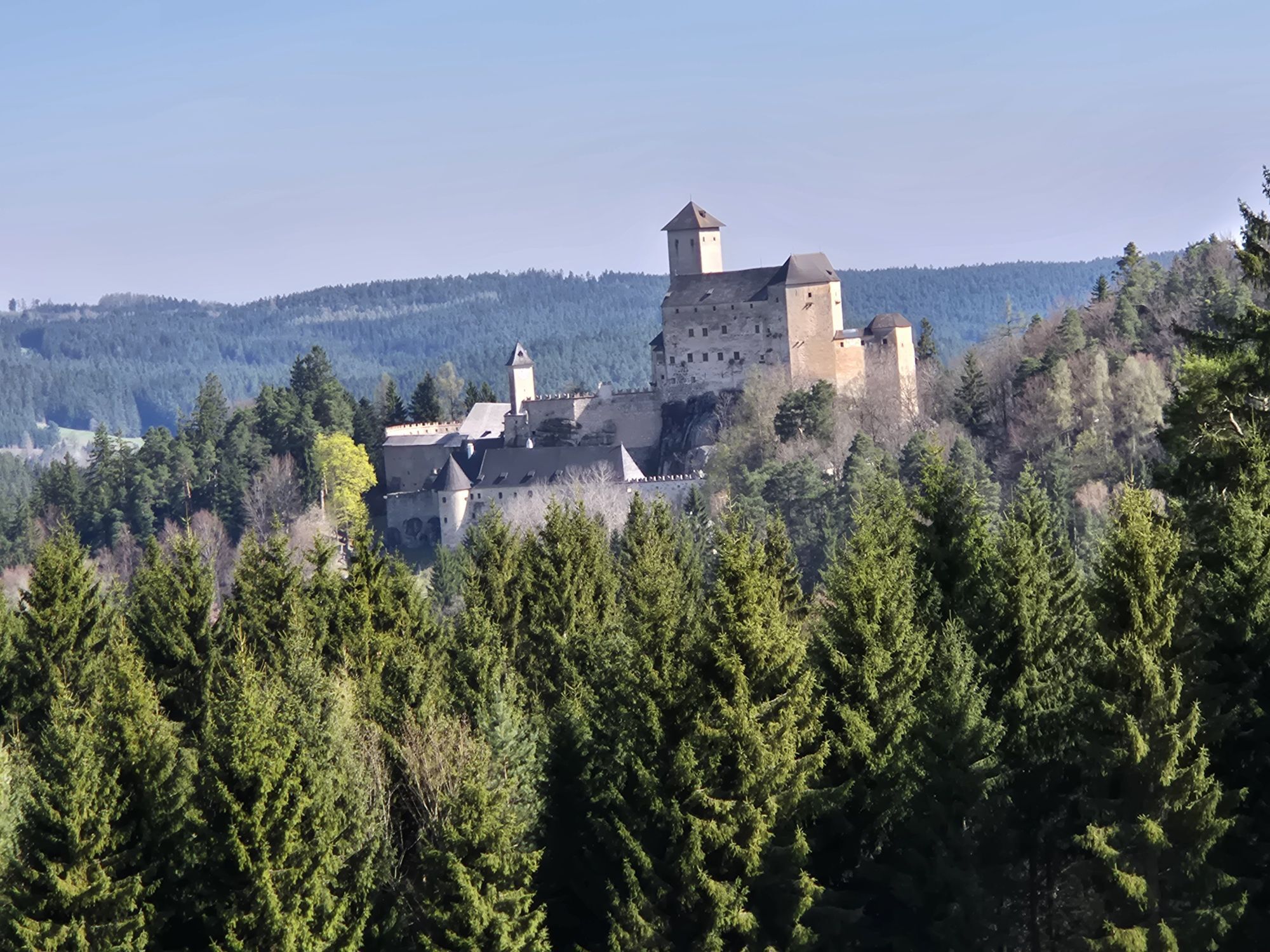


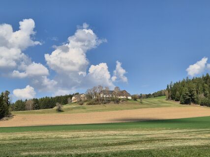
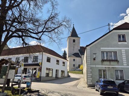
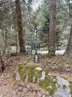
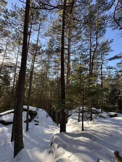
The circular hiking trail with a length of 59 km connects the towns Groß Gerungs – Rappottenstein – Schönbach – Arbesbach – Groß Gerungs.
When the circular hiking trail was laid out in the 1970s, it was...
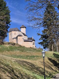
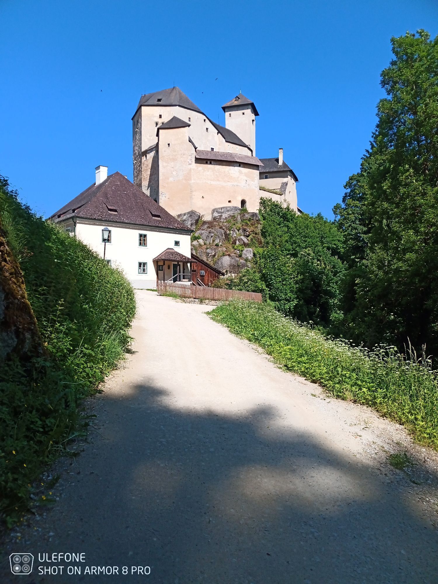
<p>The circular hiking trail with a length of 59 km connects the towns Groß Gerungs – Rappottenstein – Schönbach – Arbesbach – Groß Gerungs.</p><p>When the circular hiking trail was laid out in the 1970s, it was intended to connect four towns, all of which were markets at the time. Another commonality is their founding in the 12th century. In 1983 Groß Gerungs was raised to town status, leaving only three markets. However, the name of the hiking trail remained, as market days are still held in Groß Gerungs. The "Stock tooth of the Waldviertel" in Arbesbach and Rappottenstein castle are certainly the highlights of this hike.</p><p>The circuit is divided into four sections:<br />Groß Gerungs - Rappottenstein (approx. 17.1 km)<br />Rappottenstein - Schönbach (approx. 14.1 km)<br />Schönbach - Arbesbach (approx. 11.4 km)<br />Arbesbach - Groß Gerungs (approx. 14.4 km)</p>

<p><strong>Groß Gerungs - Rappottenstein:</strong></p><p>The first part of the Waldviertler Vier-Märkte-Weg 612 takes us from Groß Gerungs to Groß Gundholz, over the Burgleiten and through the paradise in the Kamptal to Rappottenstein.</p><p><strong>Rappottenstein - Schönbach:</strong><br />The second part of the Waldviertler Vier-Märkte-Weg 612 leads us from Rappottenstein past the castle of the same name, continuing through the scattered settlement Grötschen, Lichtenau to Schönbach.</p><p><strong>Schönbach - Arbesbach:</strong><br />The third part of the Waldviertler Vier-Märkte-Weg 612 leads us from Schönbach westwards, past the Stieglitz Mill over the Münzenberg to Altmelon. Here the path turns northwards and ends in Arbesbach.</p><p><strong>Arbesbach - Groß Gerungs:</strong><br />The fourth and last part of the Waldviertler Vier-Märkte-Weg 612 leads us from Arbesbach northwards through the village of Kamp and further over the Großer Kamp to Griesbach. Via Klein Wetzles and Marharts we reach the Zwettl valley. Now it goes in a northeast direction through Klein Reinprechts to Groß Gerungs.</p>
<p>Sturdy footwear, functional clothing, sun and rain protection, map materials, optionally telescopic poles, first aid kit (blister plasters), sufficient provisions (snacks, muesli bars, fruit, water).</p>
<p>Make sure the route you choose matches your fitness level. Check whether the gastronomy businesses you want to visit along the way are open. Pack your mobile phone and map material in your backpack.</p>
<p>Vienna: via the A22 to Stockerau, on the S5 to Krems, Zwettl and Groß Gerungs. Approx. 160 km, approx. 2 hours travel time<br />Via the A21 to the A1 to St. Pölten, S33 to Krems, Zwettl, Groß Gerungs. Approx. 160 km, approx. 2.5 hours travel time</p><p>Linz: via Freistadt, Karlstift to Groß Gerungs. Approx. 90 km, approx. 1.5 hours travel time</p>
<p><strong>Train:</strong><br />By train to Groß Gerungs: from Vienna/Franz-Josefs-Bahnhof to Gmünd main station.<br >All departure times at <a href="http:/www.oebb.at">www.oebb.at</a> or phone: 05 17 17 (from Gmünd with the Waldviertelbahn only in the summer months on weekends and public holidays).</p><p><strong>Bus:</strong><br >Please check the departure times from your place of residence to Groß Gerungs at <a href="http:/www.vor.at">www.vor.at</a>.</p>
<p>At the main square in Groß Gerungs and at designated public parking lots.</p>
Austrian Alpine Club
Section Alpine Club Waldviertel, Petra Schneider
(T) +43 664 1112134
(E) waldviertel@sektion.alpenverein.at
(I) www.alpenverein.at/waldviertel
Waldviertel Tourism
3910 Zwettl, Sparkassenplatz 1/2/2
(T) +43 2822 54109
(E) info@waldviertel.at
(I) www.waldviertel.at
If you collect the hiking stamp for the successful completion of the route at the following inns, you can request the hiking badge of the Waldviertler Vier-Märkte-Weg at the Alpenverein Waldviertel.
Groß Gerungs: Gasthof Hirsch, Hauptplatz 20
Rappottenstein: Gasthaus Rotheneder
Schönbach: Gasthaus zum Lindenstüberl, Wolfgang Leonardelli
Altmelon: Kirchenwirt Lichtenwallner
Rutas populares en los alrededores
-
3,8
Wandern im Liebenauer Moor
luzSenderismo 4,16 km -
4,2
TiWaLi Kamptal-Weißenbach-Runde
luzSenderismo 10,6 km -
4,3
Teddybärentrail Lohnbachfall
luzSendero temático 4,41 km -
4,6
Rappottenstein
luzSenderismo 10,1 km -
5,0
Bärnkopf Lichtbergweg Nr. 65
medioSenderismo 8,82 km -
3,0
Bärnkopf Weinsbergweg Nr. 60
medioSenderismo 8,03 km -
5,0
Kampschlucht u. Torbogen
luzSenderismo 14,8 km -
Weltkugel-Wanderweg Nr. 31
medioSenderismo 19,5 km -
5,0
Waldviertel Mitte [02] Hundertwasser-Tour mit Aubergwarte
luzE-MTB 32,8 km -
5,0
Bärnkopf Schwemmweg Nr. 61
luzSenderismo 4,23 km

Senderismo y rastreo


No se pierda las ofertas y la inspiración para sus próximas vacaciones
Su dirección de correo electrónico se ha añadido a la lista de correo.