






Pyramidenweg 53 Zwettl

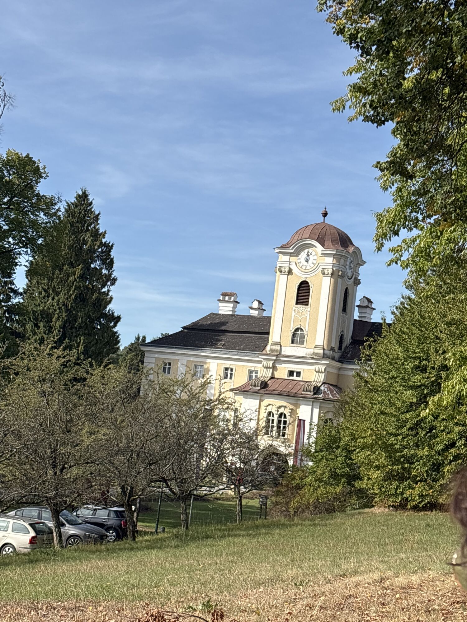
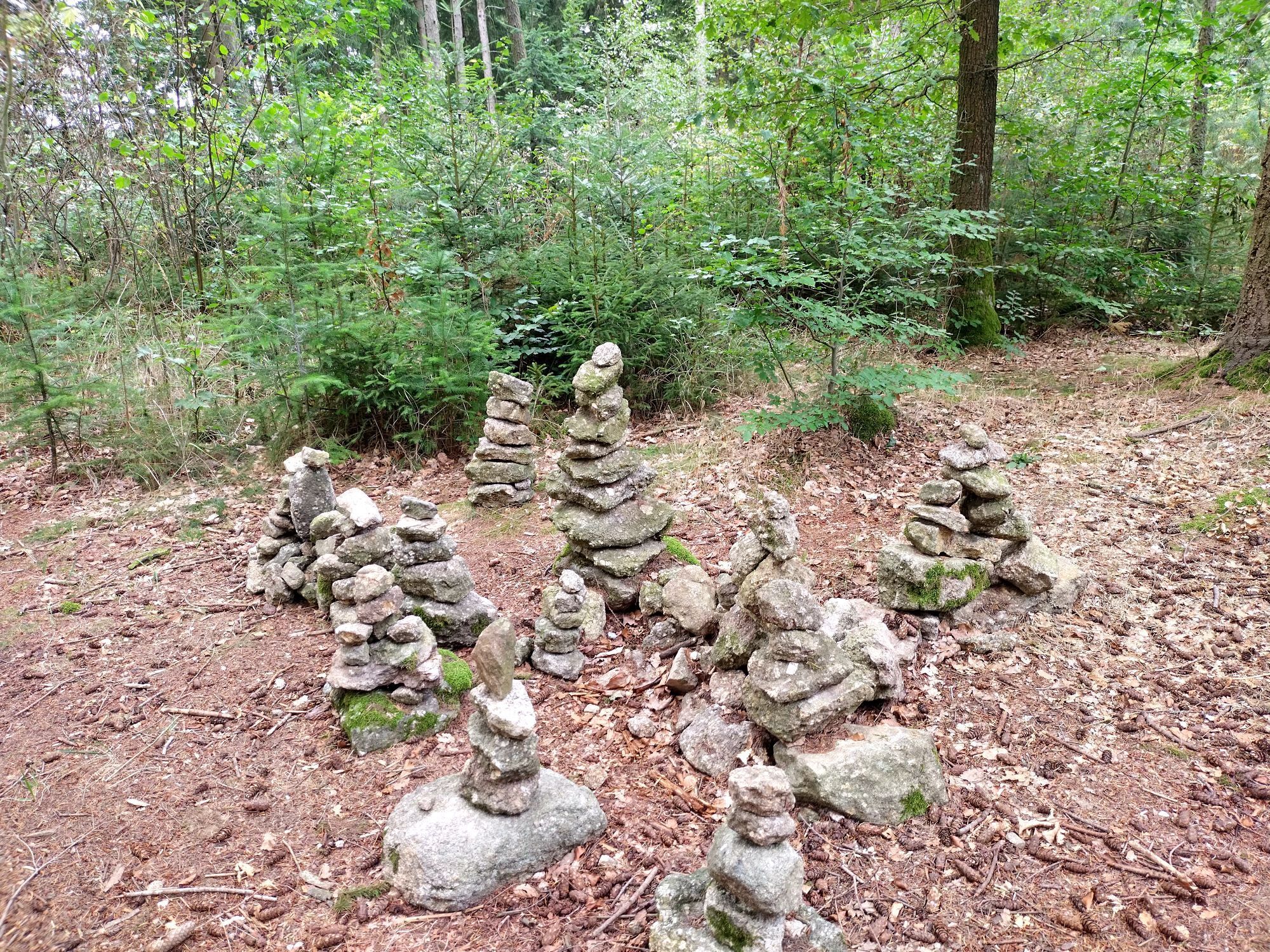
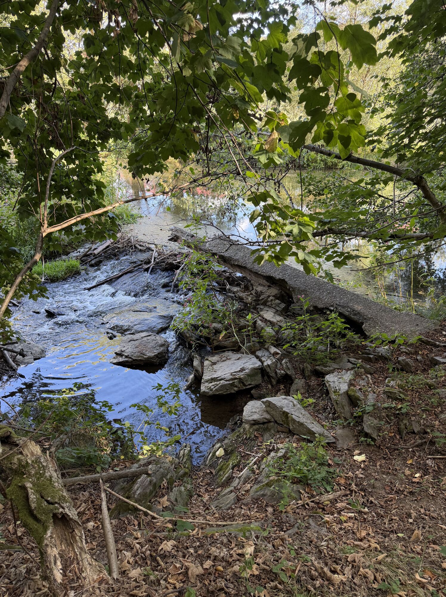
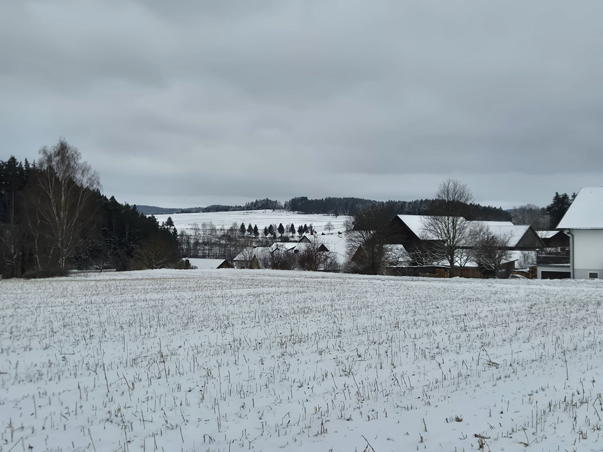
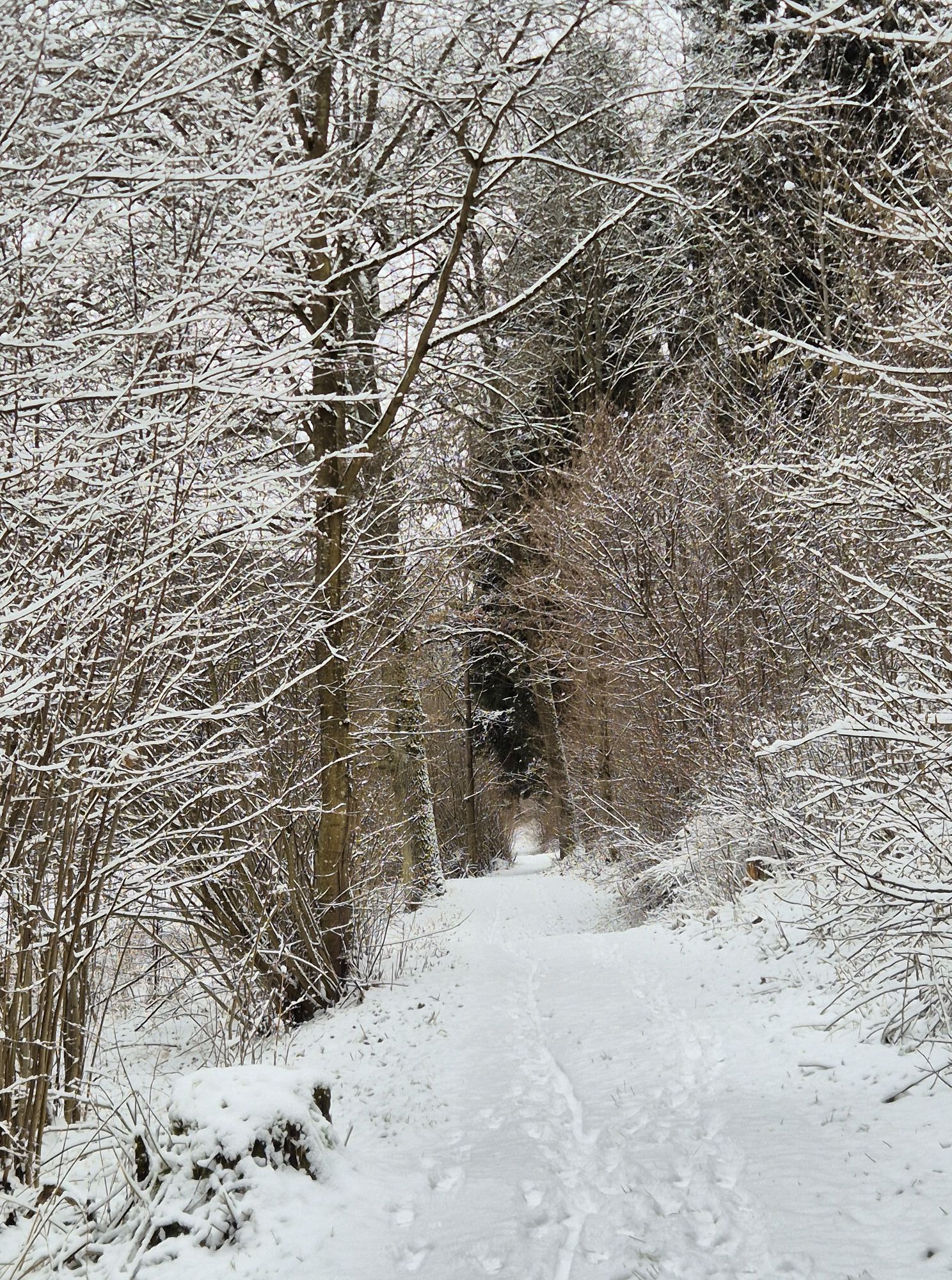
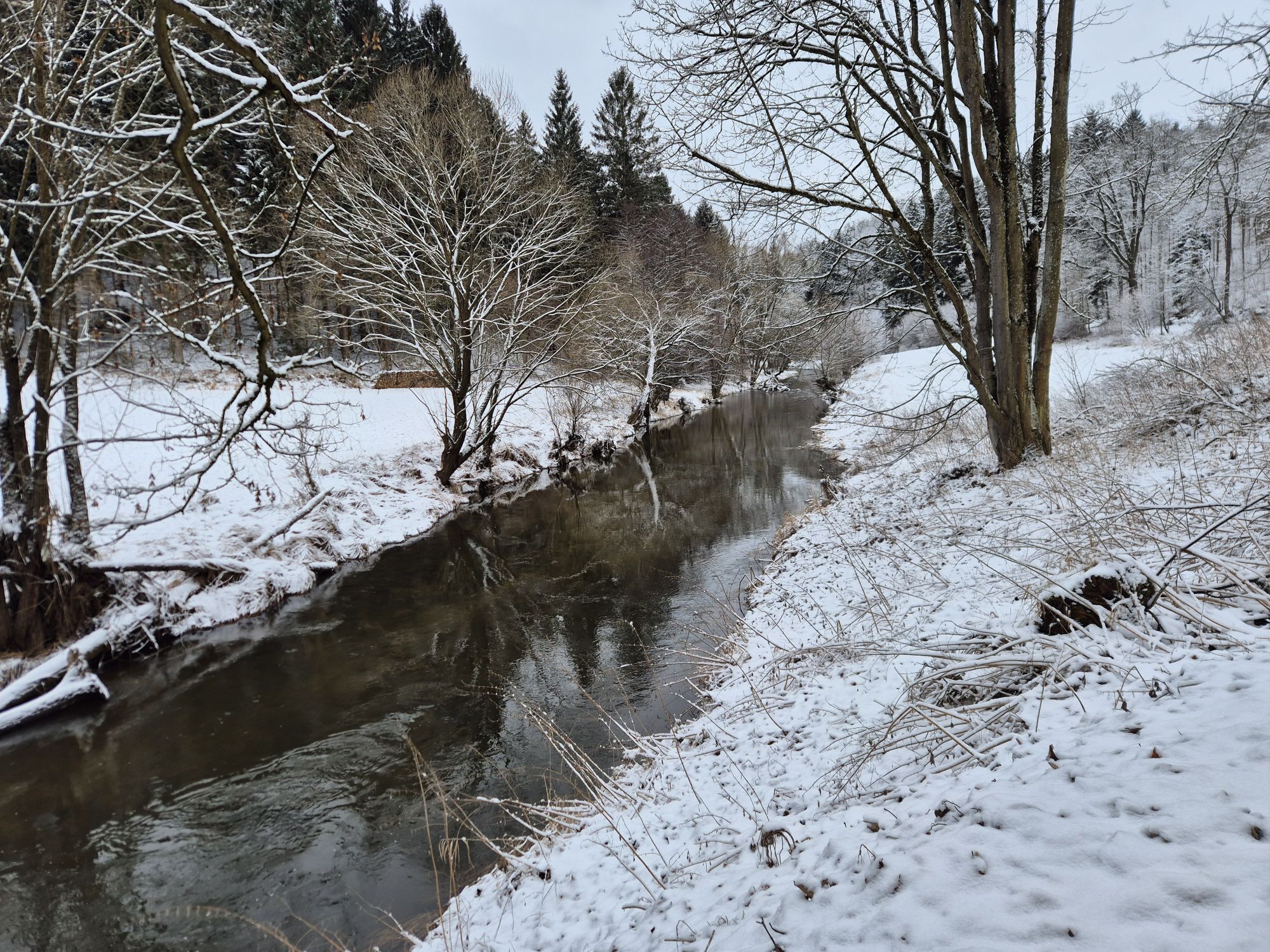
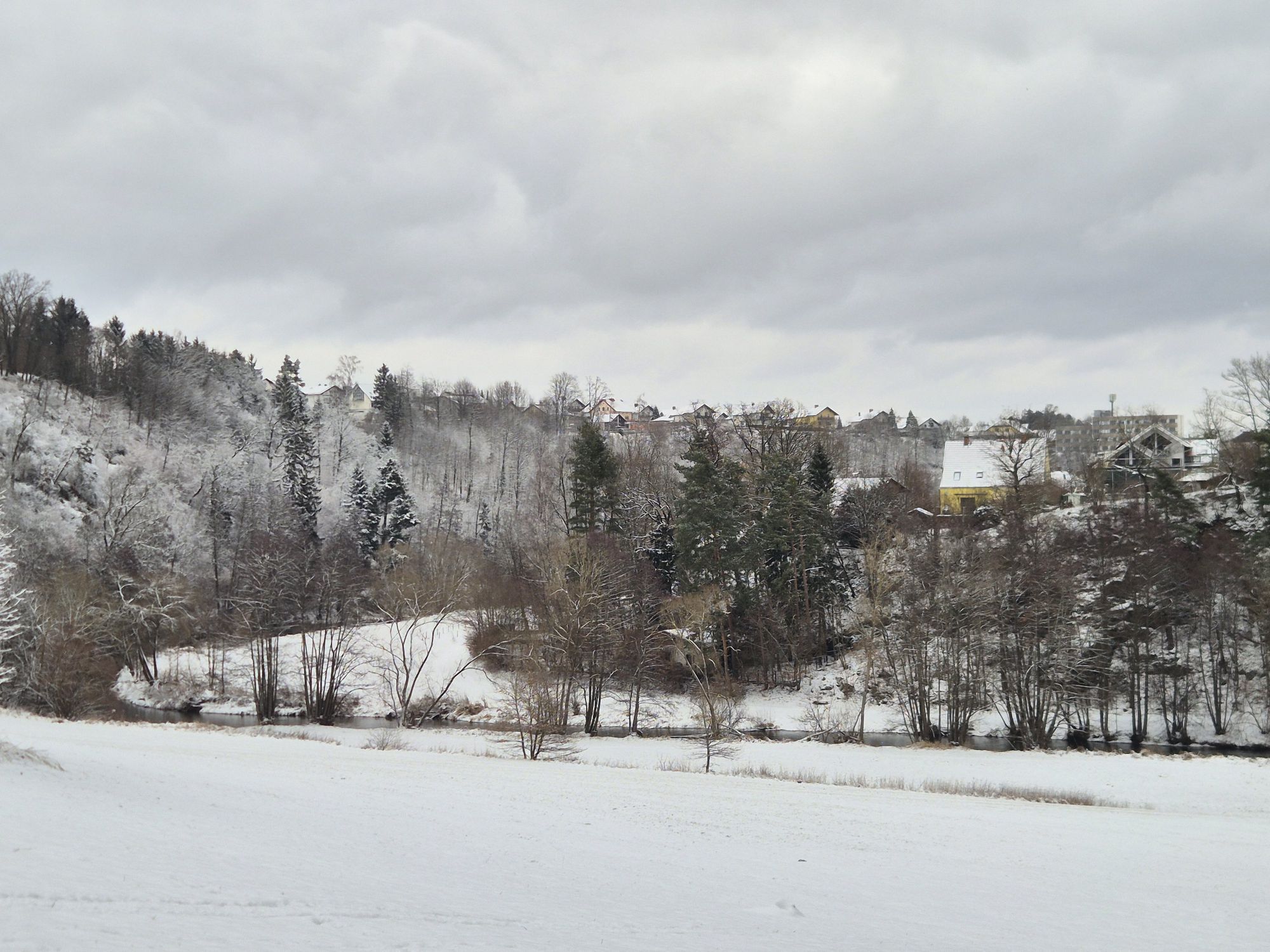


<p>Starting at the ice skating rink, you go over the footbridge and on the other side of the river arm turn left into the romantic Zwettl valley along the Zwettl (Graselhöhle). You leave the forest experience trail at the small wooden bridge heading towards Syrafeld. From there the path gently ascends to the Roblmühle, via Guttenbrunn to Rosenau Castle with a remarkable Freemason museum, and continues through the Finstergraben and the Alm to the Steinberg with the only stone pyramid in Central Europe. Near Kleinmeinharts, you follow the hiking trail via Jahrings, Waldhams, and Syrafeld back through the Zwettl valley to the starting point.</p>
<p>Sturdy footwear, functional clothing, sun and rain protection, maps, if necessary telescopic poles, first aid kit (blister plasters), sufficient provisions (snack, muesli bars, fruit, water).</p>
<p><strong>Note:</strong> From Syrafeld, the Pyramid Trail leads back again into the Zwettl valley. Due to the detour, a rerouting took place in the Syrafeld-Moidrams area; the Pyramid Trail will now in its last section lead back into the Zwettl valley and no longer, as in the original route, back to Zwettl via Moidrams. And this signage has not yet been implemented.</p><p>Make sure when choosing your route that it matches your fitness level. Check whether the gastronomy businesses you want to visit along the way are open. Pack your charged mobile phone and maps in your backpack. For cross-border routes, please always carry a passport or identity card.</p>
<p>From Vienna: Stockerau – Tulln – Krems – Zwettl (or Vienna – St. Pölten – Krems – Zwettl)
</p><p>From Salzburg/Linz: Freistadt – Sandl – Groß Gerungs - Zwettl</p>
<p>Vienna, Franz-Josefs-Bahnhof – Krems – bus connection to Zwettl (Postbus or Waldviertelbus)</p>
Verantwortlicher für den Inhalt dieser Tour
Waldviertel Tourismus
Letzte Aktualisierung: 12.11.2025

Rutas populares en los alrededores
-
4,4
TiWaLi Kamptal-Weißenbach-Runde
luzSenderismo 10,6 km -
4,7
Höllfall und Lohnbachfall
Senderismo 13,8 km -
4,6
Rappottenstein
luzSenderismo 10,1 km -
5,0
Sendero de la cascada de Lohnbach
luzSenderismo 11,8 km -
4,8
Wasserwunderweg Zwettl
Senderismo 19,2 km -
4,5
Roiten - Satzling - Hoher Stein - Gasthaus König
medioSenderismo 9,89 km -
5,0
Kampschlucht u. Torbogen
luzSenderismo 14,8 km -
3,7
Pehendorf-Lohnbachfall Rundweg
luzSenderismo 8,10 km -
4,1
Runde um den Stierberg
luzSenderismo 6,60 km -
5,0
Waldviertel Mitte [02] Hundertwasser-Tour mit Aubergwarte
luzE-MTB 32,8 km

Senderismo y rastreo


No se pierda las ofertas y la inspiración para sus próximas vacaciones
Su dirección de correo electrónico se ha añadido a la lista de correo.





