


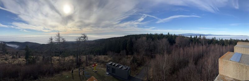
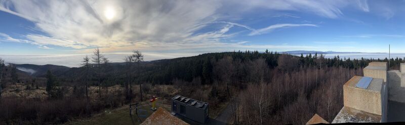
AMBER TRAIL East route | enjoyable hiking between the Alps and Puszta
Fotos de nuestros usuarios
-
 © Helmut Muisette HarrerCreado el 25.10.2022
 -
 © jongejanCreado el 15.05.2026
 -
 © Peter GyCreado el 09.05.2026
 -
 © Peter GyCreado el 09.05.2026
 -
 © Gudrun KnorreCreado el 08.05.2026
 -
 © Astrid BalikoCreado el 26.04.2026
 -
 © Astrid BalikoCreado el 26.04.2026
 -
 © Astrid BalikoCreado el 26.04.2026
 -
 © Astrid BalikoCreado el 26.04.2026
 -
 © Astrid BalikoCreado el 26.04.2026
 -
 © Astrid BalikoCreado el 26.04.2026
 -
 © Astrid BalikoCreado el 26.04.2026
 -
 © josef duermoserCreado el 24.04.2026
 -
 © josef duermoserCreado el 24.04.2026
 -
 © josef duermoserCreado el 24.04.2026
 -
 © josef duermoserCreado el 24.04.2026
 -
 © josef duermoserCreado el 24.04.2026
 -
 © josef duermoserCreado el 24.04.2026
 -
 © josef duermoserCreado el 24.04.2026
 -
 © josef duermoserCreado el 24.04.2026
 -
 © josef duermoserCreado el 24.04.2026
 -
 © josef duermoserCreado el 24.04.2026
 -
 © Franz DvoranCreado el 09.04.2026
 -
 © Franz DvoranCreado el 09.04.2026
 -
 © EderoCreado el 05.04.2026
 -
 © EderoCreado el 05.04.2026
 -

 © Anikó MákCreado el 04.04.2026
 -
 © Franz DvoranCreado el 25.03.2026
 -
 © Michael TiefenbacherCreado el 20.03.2026
 -
 © Michael TiefenbacherCreado el 20.03.2026
 -
 © Michael TiefenbacherCreado el 20.03.2026
 -
 © Michael TiefenbacherCreado el 20.03.2026
 -
 © Christine FischerCreado el 16.01.2026
 -
 © Christine FischerCreado el 16.01.2026
 -
 © SabineCreado el 01.01.2026
 -
 © SabineCreado el 01.01.2026
 -
 © SabineCreado el 01.01.2026
 -

 © Làszló VisiCreado el 27.12.2025
 -
 © Meszaros MariannaCreado el 13.12.2025
 -
 © Meszaros MariannaCreado el 13.12.2025
 -
 © Meszaros MariannaCreado el 13.12.2025
 -
 © Làszló VisiCreado el 30.11.2025
 -
 © Làszló VisiCreado el 30.11.2025
 -
 © Làszló VisiCreado el 30.11.2025
 -
 © Ivankovitsmonika01Creado el 30.11.2025
 -
 © Làszló VisiCreado el 30.11.2025
 -
 © Ivankovitsmonika01Creado el 30.11.2025
 -
 © Ivankovitsmonika01Creado el 30.11.2025


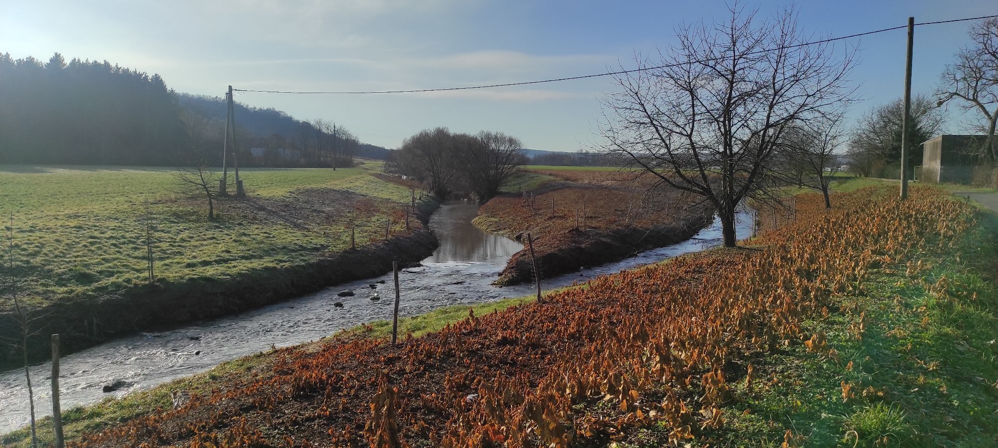
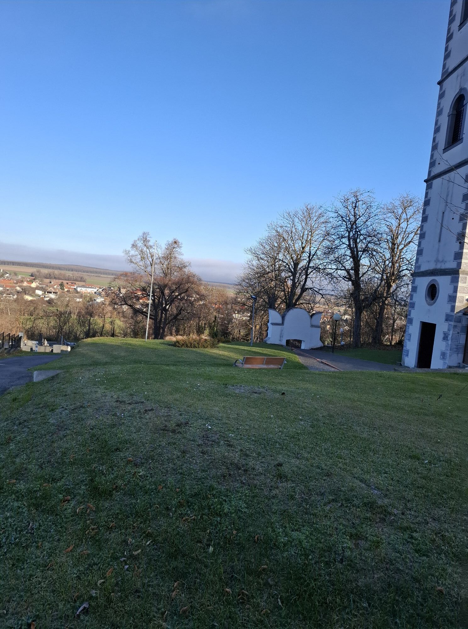
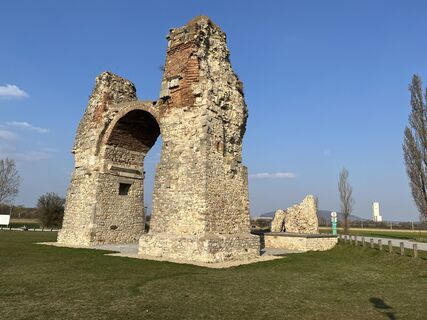
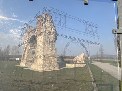
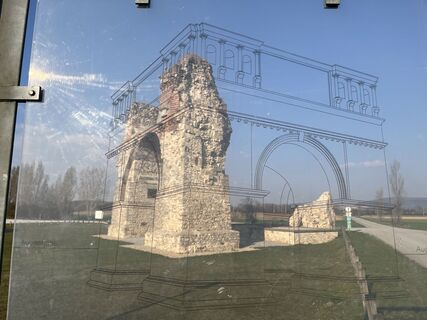
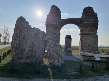
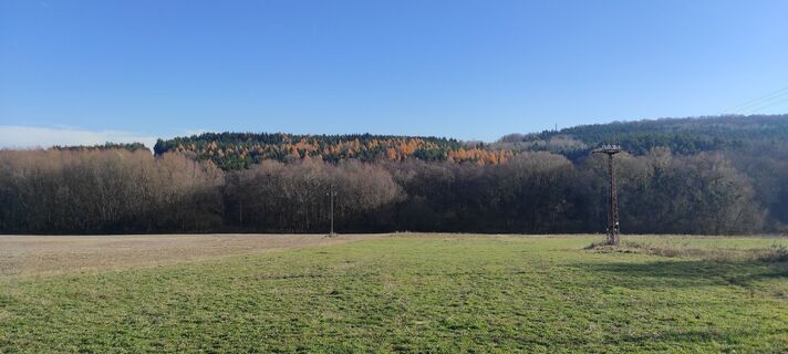
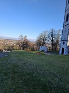
Isn't it a fascinating idea to lace up your hiking boots and follow in the footsteps of the Romans along the myth-enveloped Roman Amber Road? From the legion camp Carnuntum in the north to the Roman hill...
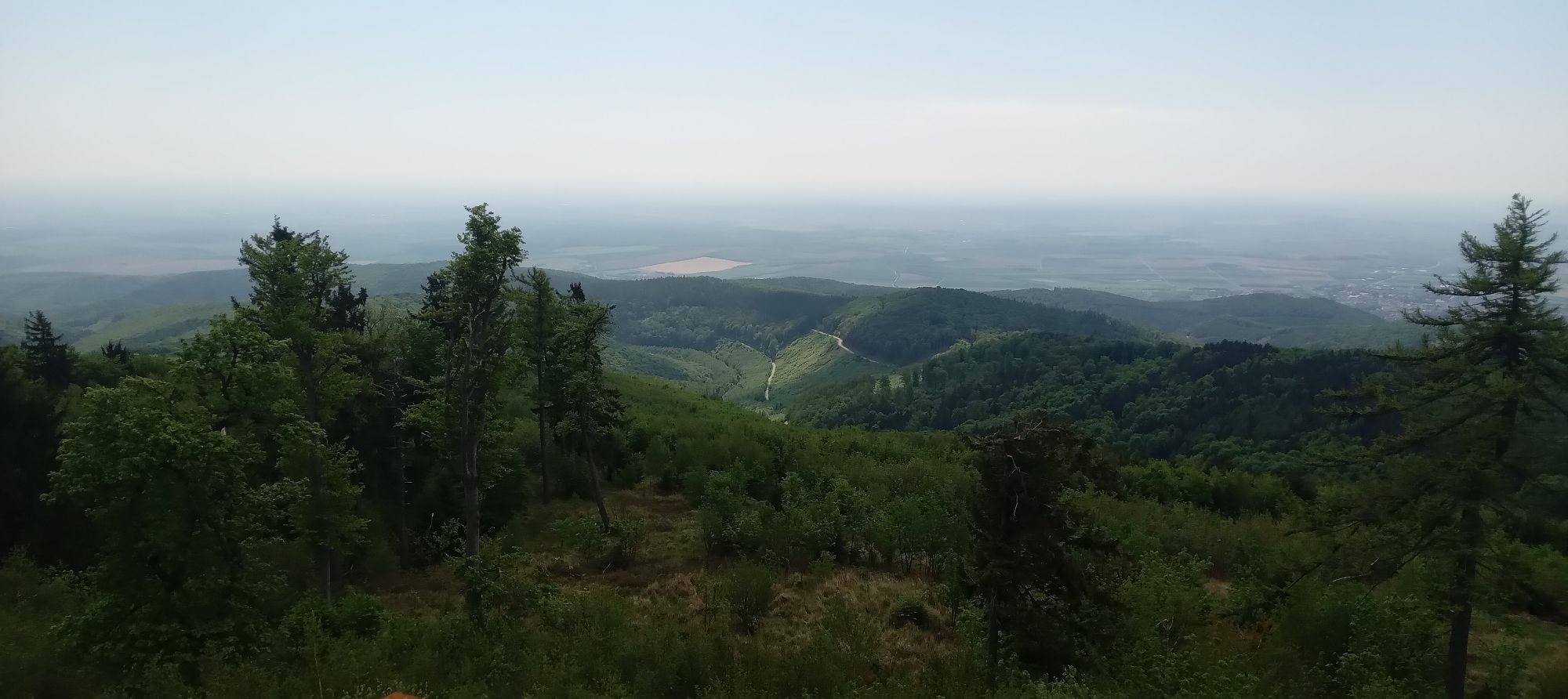
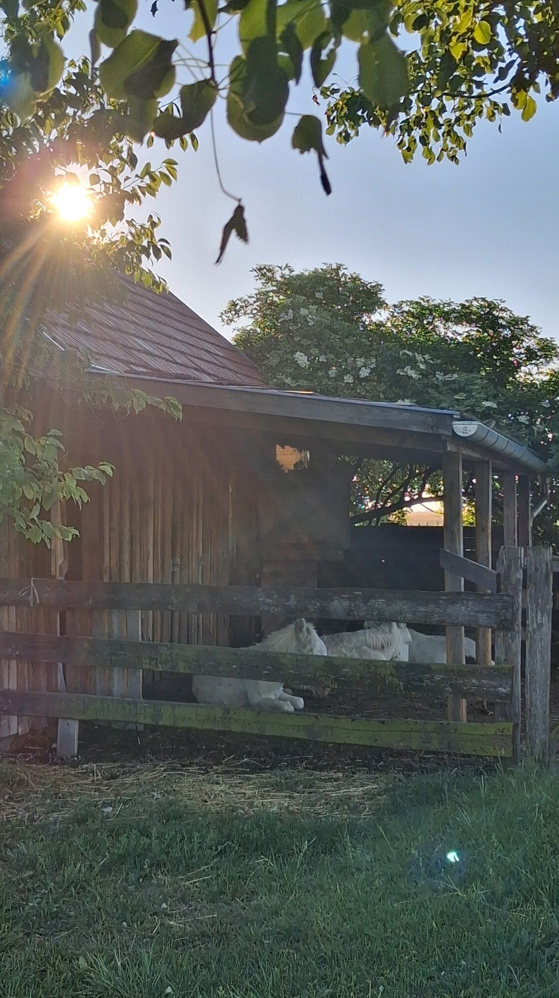
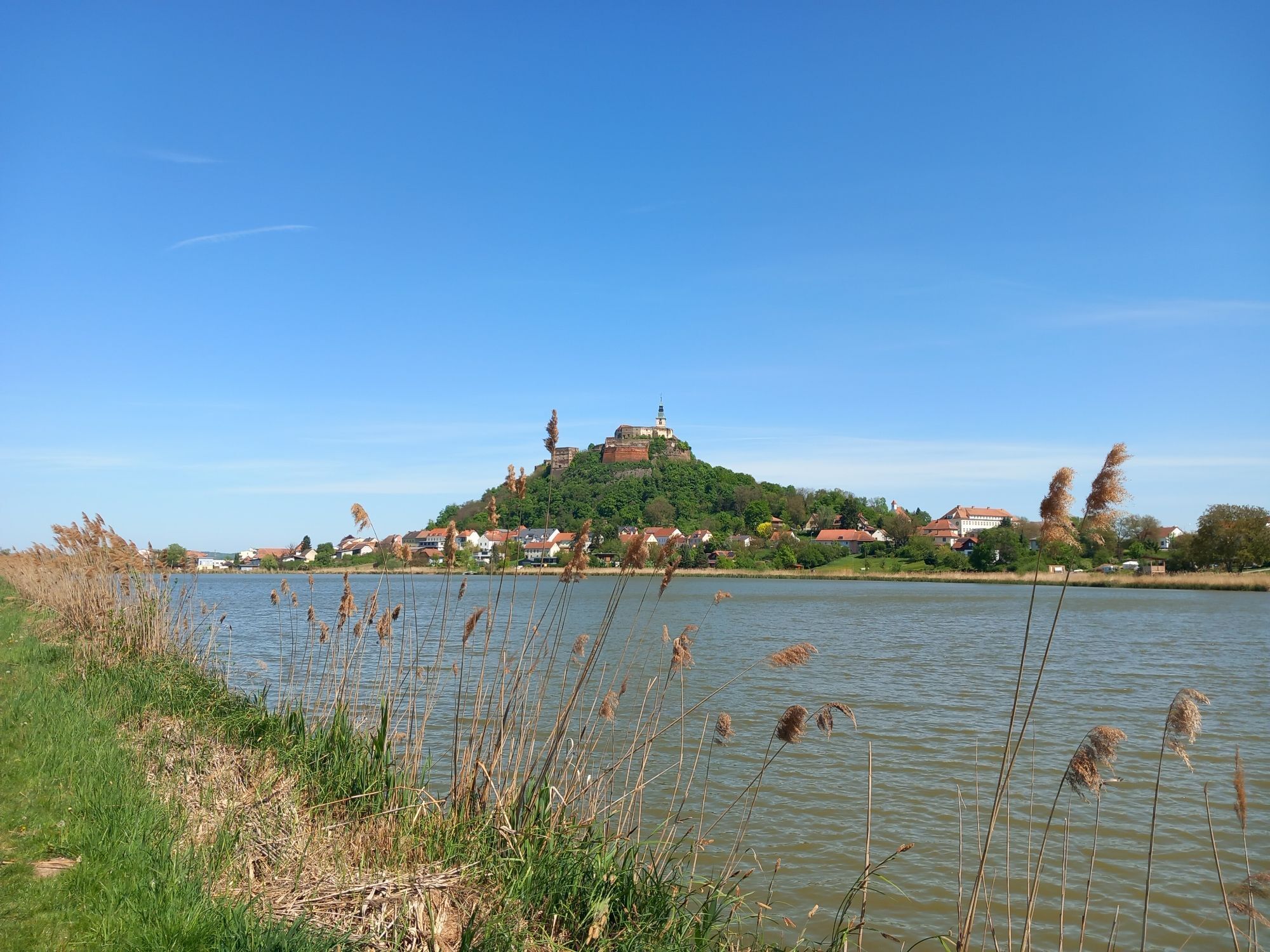
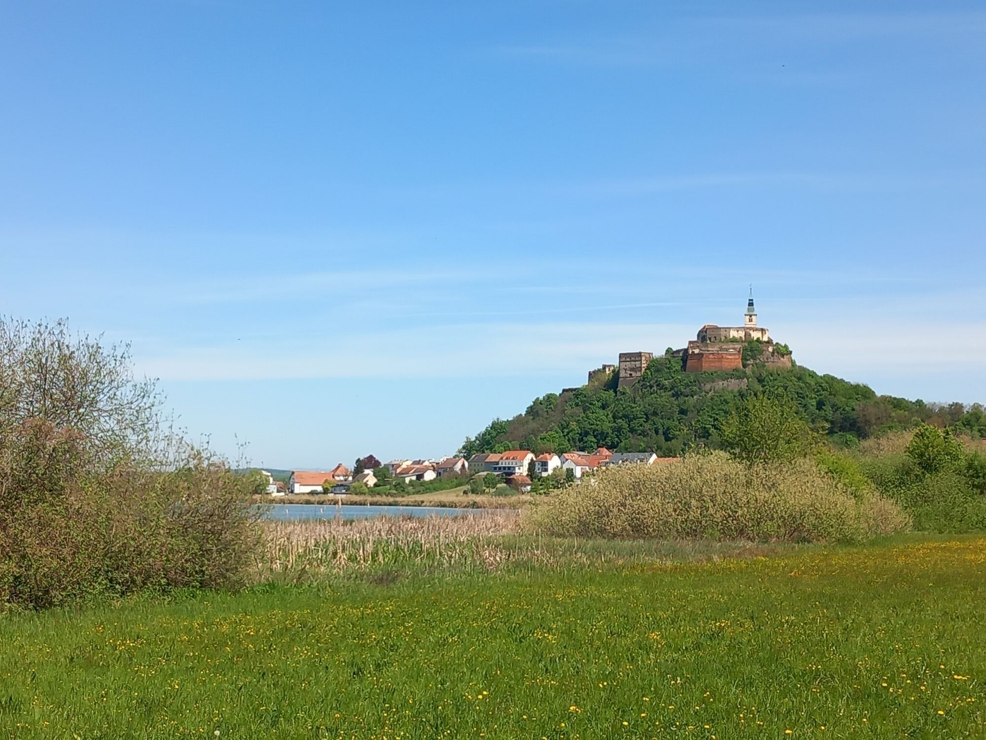
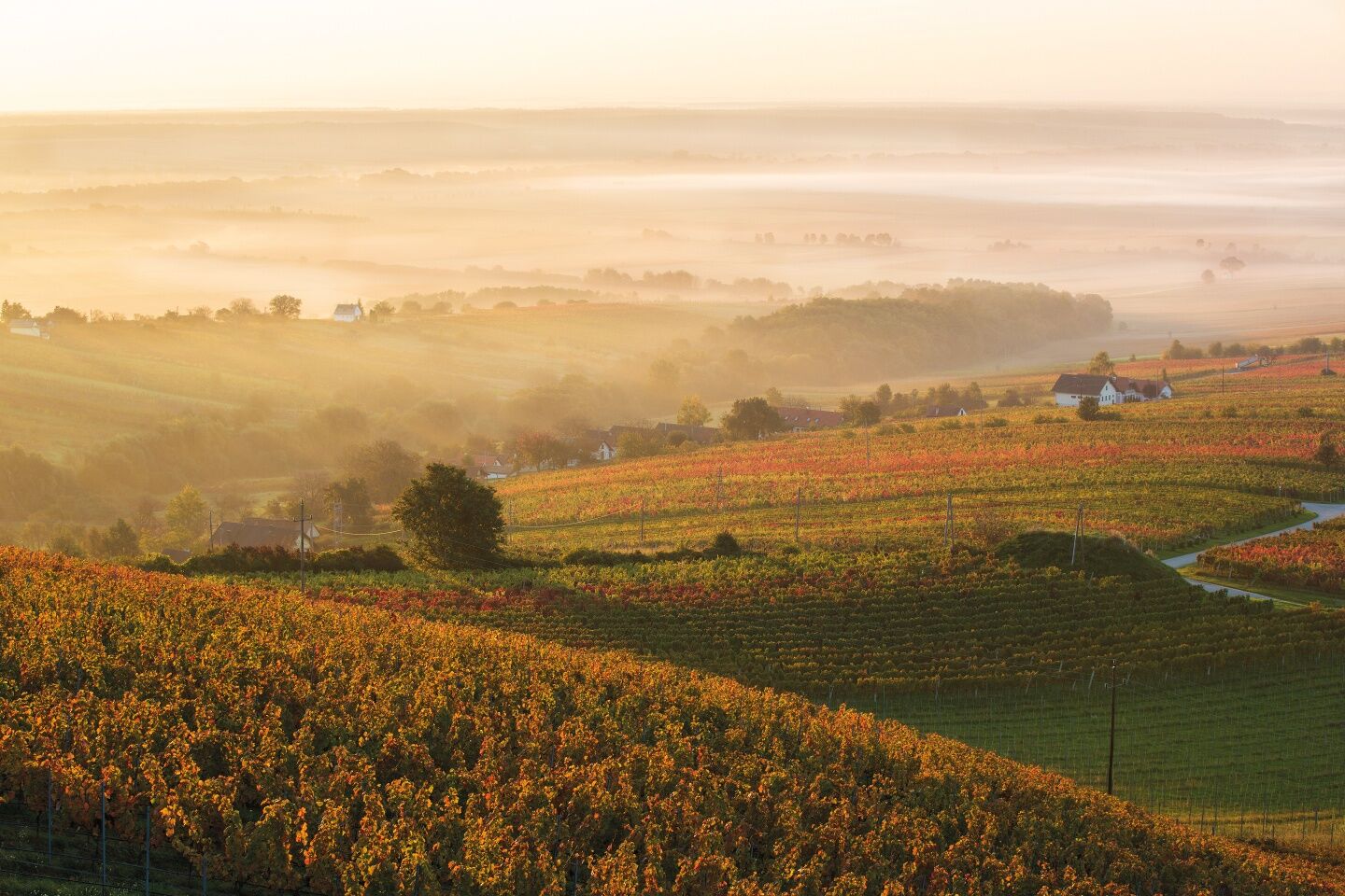
<p>Isn't it a fascinating idea to lace up your hiking boots and follow in the footsteps of the Romans along the myth-enveloped Roman Amber Road? From the legion camp Carnuntum in the north to the Roman hill graves near St. Martin an der Raab in the south. And especially to discover step by step the treasures of Burgenland in between: The Neusiedler See - Seewinkel National Park, countless cultural monuments, relaxing thermal baths, and the cozy Buschenschänken and cellar lanes in the idyllic vineyards. Authentic, hiking-friendly accommodations await you. The two detours into neighboring Hungary make this discovery journey an ultimate endless hiking pleasure. The Burgenland travel office will gladly assist you with planning – myburgenland.travel</p><p>This is enjoyable hiking between the Alps and Puszta. The Amber Trail is aimed at connoisseurs among long-distance hikers who counter the everyday hustle with a conscious courage to slow down. Not records or best performances, but the deliberate discovery of Burgenland is the focus: Insights into its enchanting diversity of nature and culture. Lingering at charming places, the wine, the typical Burgenland cuisine, and inspiring encounters with warm-hearted people. All this makes the Amber Trail an equally fascinating and sustainable hiking journey off the beaten path. Ideally already in spring or late autumn, when the mild, Pannonian-influenced climate of Burgenland already or still provides the best hiking conditions.</p>

<p>For a closer look, you will find information on the individual stages here. The time indications are average values and may vary depending on personal fitness, number and length of rest breaks, weather conditions, etc.</p>
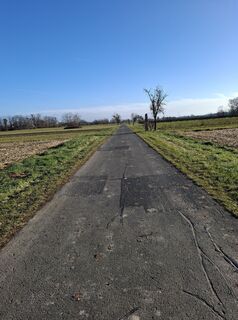
<p>For the Amber Trail, "normal" equipment for hiking on unpaved paths in mid-mountain regions is completely sufficient.</p>Important: Comfortable yet sufficiently sturdy footwear with good tread sole for unpaved paths due to long stages.Since some stages offer little shade, good sun protection and sufficient water are very important in summer.
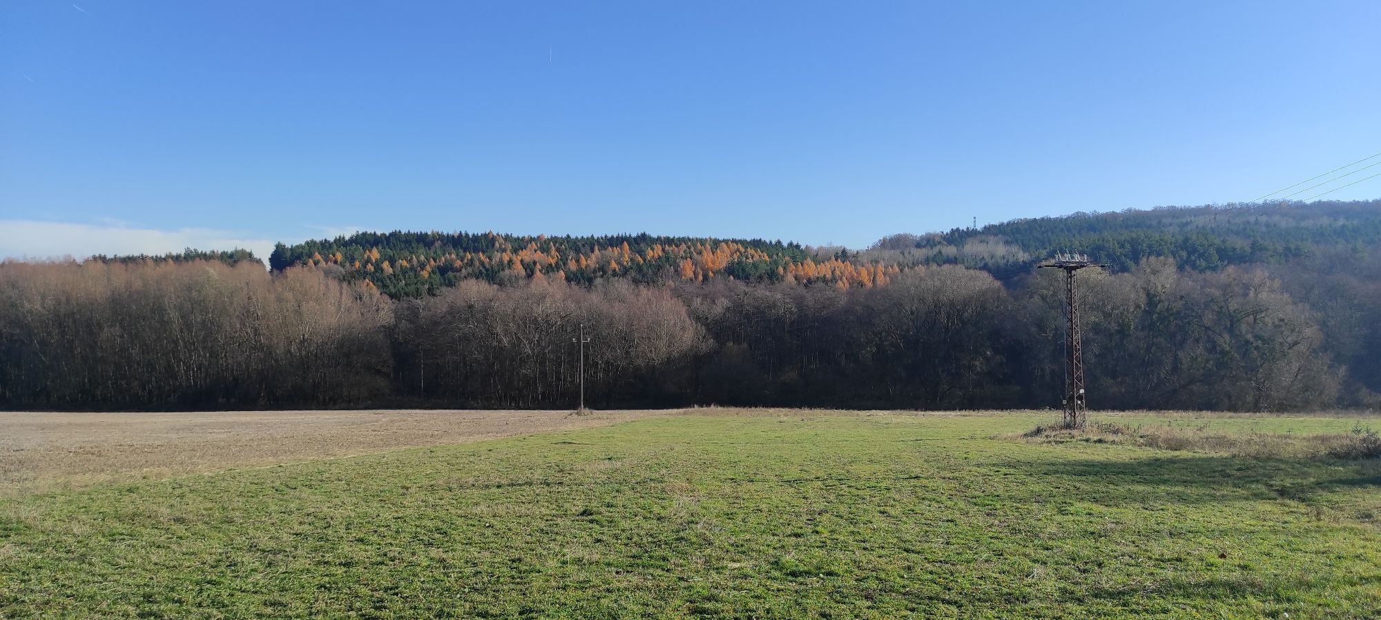
<p>Technically, the Amber Trail presents few difficulties.</p>Some surefootedness on rooty forest trails is a prerequisite.Some hiking experience including orientation skills is recommended, especially because of the length of the stages.
<p>By train: The following train stations are available to you: Vienna Main Station, Parndorf, Neusiedl am See, Deutschkreuz, Jennersdorf, and Köszeg. Thus, the Amber Trail is very suitable for arrival by train.</p><p>By plane: The following international airports are recommended for arrival by plane – Vienna, Bratislava, and Graz.</p>
Further information about the Amber Trail can be found at www.bernsteintrail.at
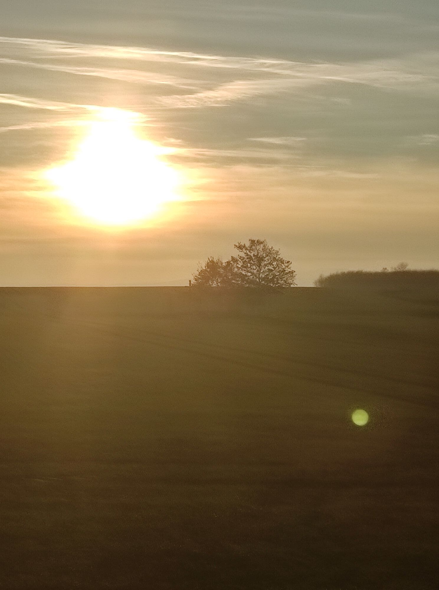
The best season for a trail trip on the Amber Trail ranges from early March to late November and depends on the general weather conditions.
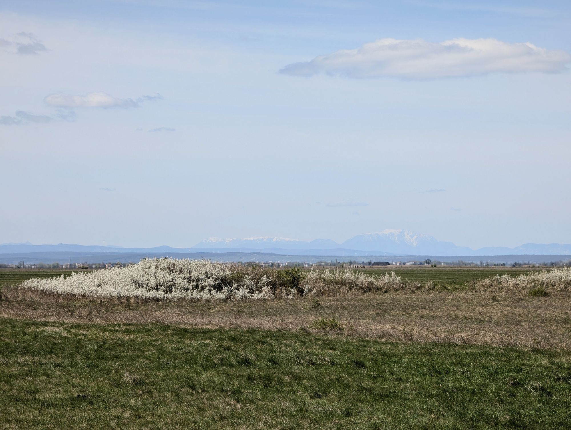
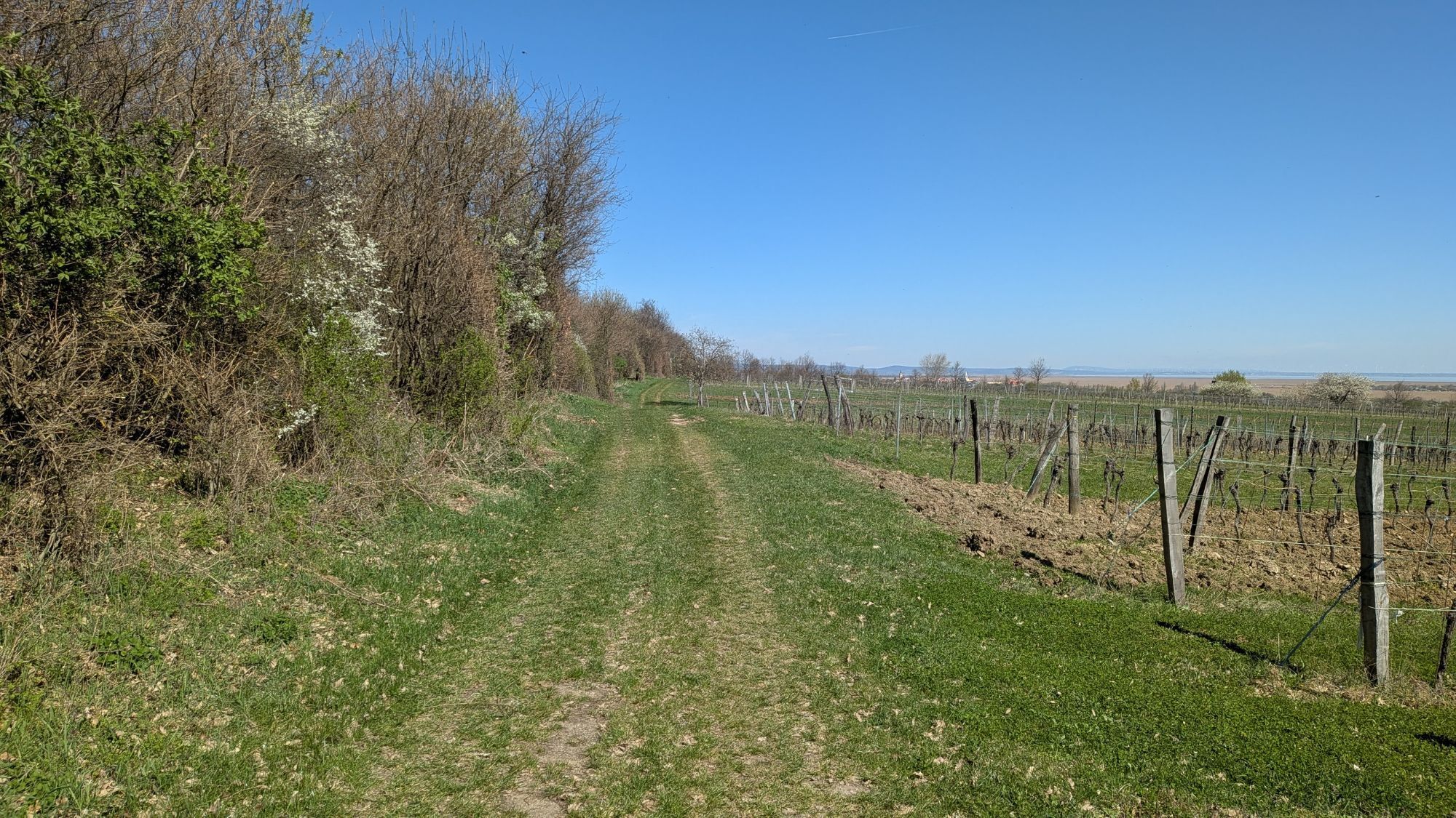
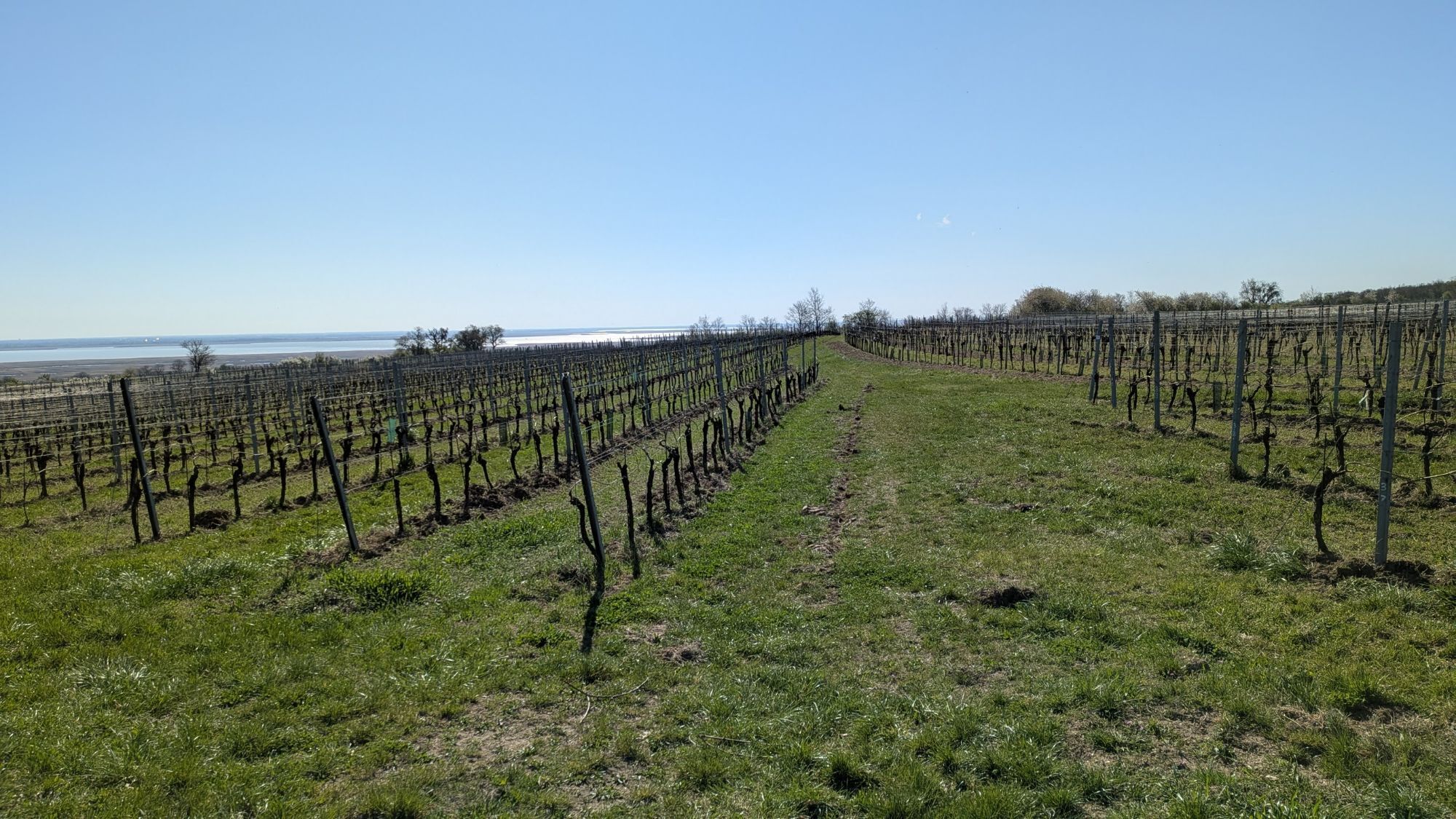
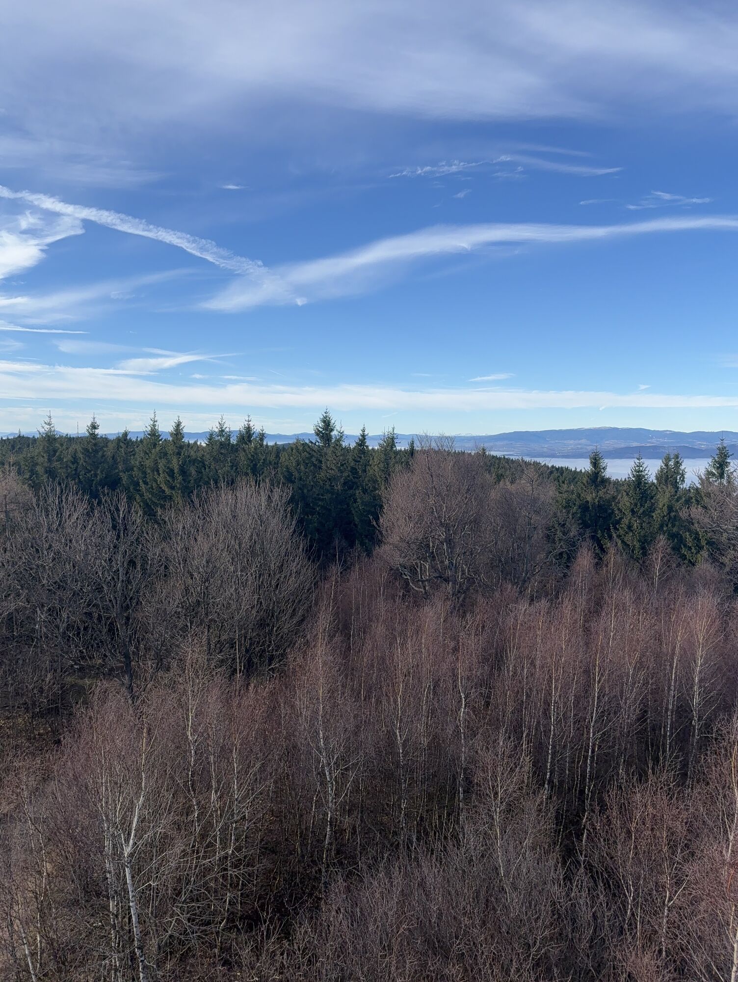
Starting the season in March, the Amber Trail is probably the earliest long-distance hiking trail accessible in Austria during the year.In spring, during the blossoming of fruit trees, and in autumn, at the grape harvest, the Amber Trail is particularly appealing.In theory, one can hike the Amber Trail in winter due to the lack of a prolonged continuous snow cover, but the enjoyment is significantly higher in other seasons.Pay attention to the ferry schedule between Illmitz and Rust.In mid-summer, it can get very hot, as you mostly hike at altitudes below 500 meters above sea level on the Amber Trail.Webcams del recorrido
-
Rechnitz
-
Gols
-
Gols
-
Gols
-
Gols
-
Gols
-
Pamhagen - Hotel Areal Vila Vita
-
St. Martins Therme & Lodge
-
St. Martins Therme & Lodge
-
St. Martins Therme & Lodge
-
St. Martins Therme & Lodge
-
St. Martins Therme & Lodge
-
St. Martins Therme & Lodge
-
St. Martins Therme & Lodge
-
TVB Büro Lutzmannsburg
-
Storchenkamera - Rust am Neusiedlersee
Rutas populares en los alrededores
-
3,9
B40 Carril bici del vino tinto
luzCiclismo 38,6 km -
3,0
Sonnenland Draisinentour
luzCiclismo 23,0 km -
3,0
Ruta ciclista R1 Jubilee
pesadoCiclismo de larga distancia 272,3 km -
5,0
BERNSTEIN TRAIL Ruta este | Senderismo de disfrute entre los Alpes y la Puszta
medioSendero de largo recorrido 314,8 km -
4,0
Paquete IRON CURTAIN TRAIL EV 13 - Burgenland
Ciclismo de larga distancia 283,9 km -
B45 Sonnenland Tour
pesadoCiclismo 159,6 km -
5,0
M61 WeinSteinWeg
pesadoSendero temático 10,4 km -
4,0
Blaufränkischweg Horitschon
luzSendero temático 3,53 km -
5,0
Unendlichweg Frankenau-Unterpullendorf
luzSenderismo 19,2 km -
3,0
B46 Lisztradweg
luzCiclismo 22,5 km

Senderismo y rastreo


No se pierda las ofertas y la inspiración para sus próximas vacaciones
Su dirección de correo electrónico se ha añadido a la lista de correo.