


SONNENTOR Herb Trail
<p>A relaxing hike, particularly suitable for families, over meadows and forest paths. Exciting info stations about native herbs with interestingly designed info pylons. Geocaching possible.</p>

<p>Lively and entertaining, you discover the diversity of herbs from SONNENTOR on the approximately 3.5 kilometer (round trip 7 km), stroller-friendly herb trail between Sprögnitz and Engelbrechts. You start at the SONNENTOR Erlebnis and walk up the street. At the firefighting pond (beach volleyball court), follow the yellow signs through the forest. Along the herb trail, 16 panels present the cultural history of herbal knowledge and the effects of these valuable medicinal plants. They tell stories and myths about the most important native herbs in an engaging and exciting way. In Engelbrechts, you can add a round to the Aubergwarte of about 1.5 kilometers in length. The ascent is lined with numerous dragon figures and a Celtic tree horoscope. 130 steps lead up to the 27.55 meter high observation tower, where you are rewarded with a magnificent panoramic view far beyond the Waldviertel.</p>
Sí
<p>Sturdy footwear, functional clothing, sun and rain protection, maps, if necessary telescopic poles, first aid kit (blister plasters), sufficient provisions (snacks, muesli bars, fruit, water).</p>
<p>Stages in the forest around the Aubergwarte are not suitable for wheelchair users or strollers.</p><p>When choosing your route, make sure it matches your fitness level. Check whether the catering establishments you want to visit along the way are open. Pack your charged mobile phone and maps in your backpack. For cross-border tours, always carry a passport or identification card.</p>
<p>By car on the A 22 and S 5 to Krems, on the B 37 via Gföhl to Zwettl, turn left before Zwettl - continue on the country road to Sprögnitz.</p>
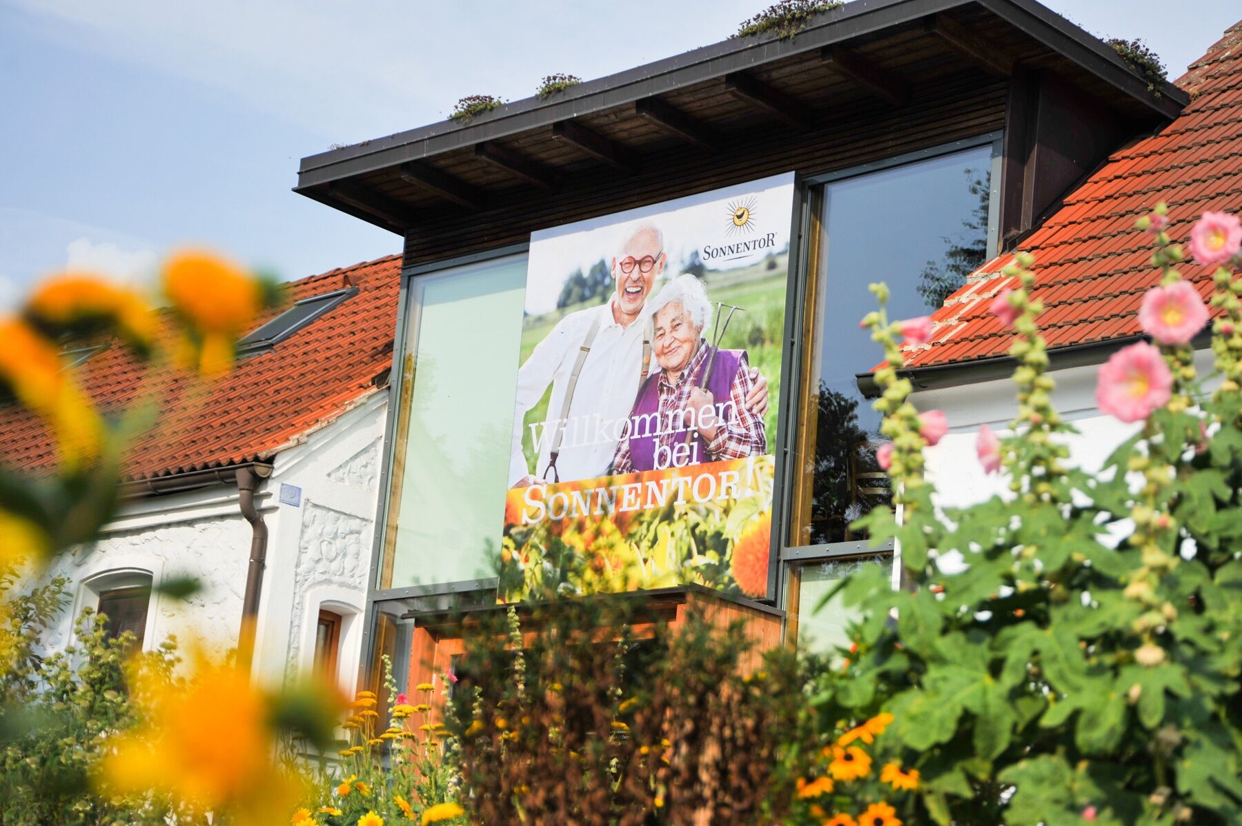
<p>Company SONNENTOR in Sprögnitz</p>
SONNENTOR Herbal Trading LLC
3910 Zwettl, Sprögnitz 10
(T) +43 2875 7256-100
(E) erlebnis@sonnentor.at
(I) www.sonnentor.at/erlebnis
Waldviertel Tourism
3910 Zwettl, Sparkassenplatz 1/2/2
(T) +43 2822 54109
(E) info@waldviertel.at
(I) www.waldviertel.at
Geocaching along the herb trail, information at SONNENTOR in 3910 Sprögnitz.
As a souvenir of your hike on the SONNENTOR herb trail in the Waldviertel, you can get a hiking badge from SONNENTOR in the SONNENTOR shop. Hiking badges are round plaques designed and labeled by wood burning, which serve as souvenirs and at the same time as awards for outstanding achievements. Diligent collectors of hiking badges are rewarded with a free premium hiking badge. More information can be found at www.wandermarken.at.
Rutas populares en los alrededores
-
4,2
Stauseerunde
medioSenderismo 9,56 km -
4,2
Stausee Ottenstein
luzSenderismo 5,13 km -
4,5
Teddybärentrail Lohnbachfall
luzSendero temático 4,41 km -
4,2
TiWaLi Kamptal-Weißenbach-Runde
luzSenderismo 10,6 km -
4,8
Ottenstein Stausee - Uferwanderung
luzSenderismo 8,52 km -
4,5
Kampseerunde
Senderismo 13,7 km -
4,0
80 Natur - Energie - Kraft
Senderismo 10,8 km -
4,9
Recorrido por los estanques de Ottenschlag, sendero "Tut gut"
medioSendero temático 10,0 km -
Dobrasee Strecke (Mountainbike Waldviertel)
Mountainbike 70,4 km -
4,6
Rappottenstein
luzSenderismo 10,1 km
Senderismo y rastreo


No se pierda las ofertas y la inspiración para sus próximas vacaciones
Su dirección de correo electrónico se ha añadido a la lista de correo.