






Hundertwasserweg long - Zwettl
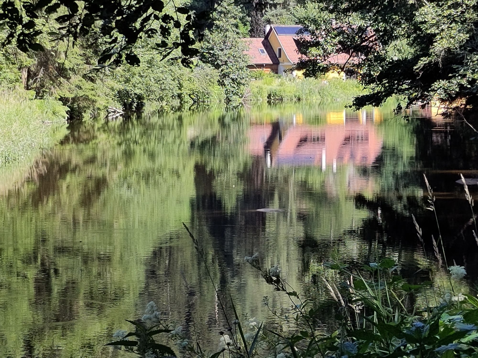
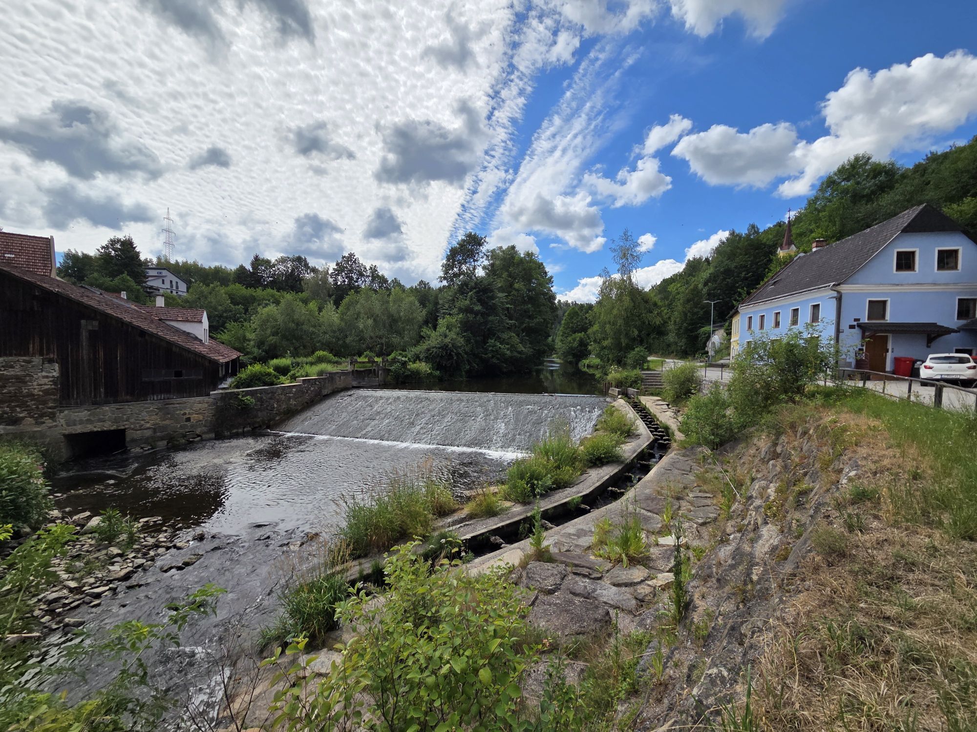
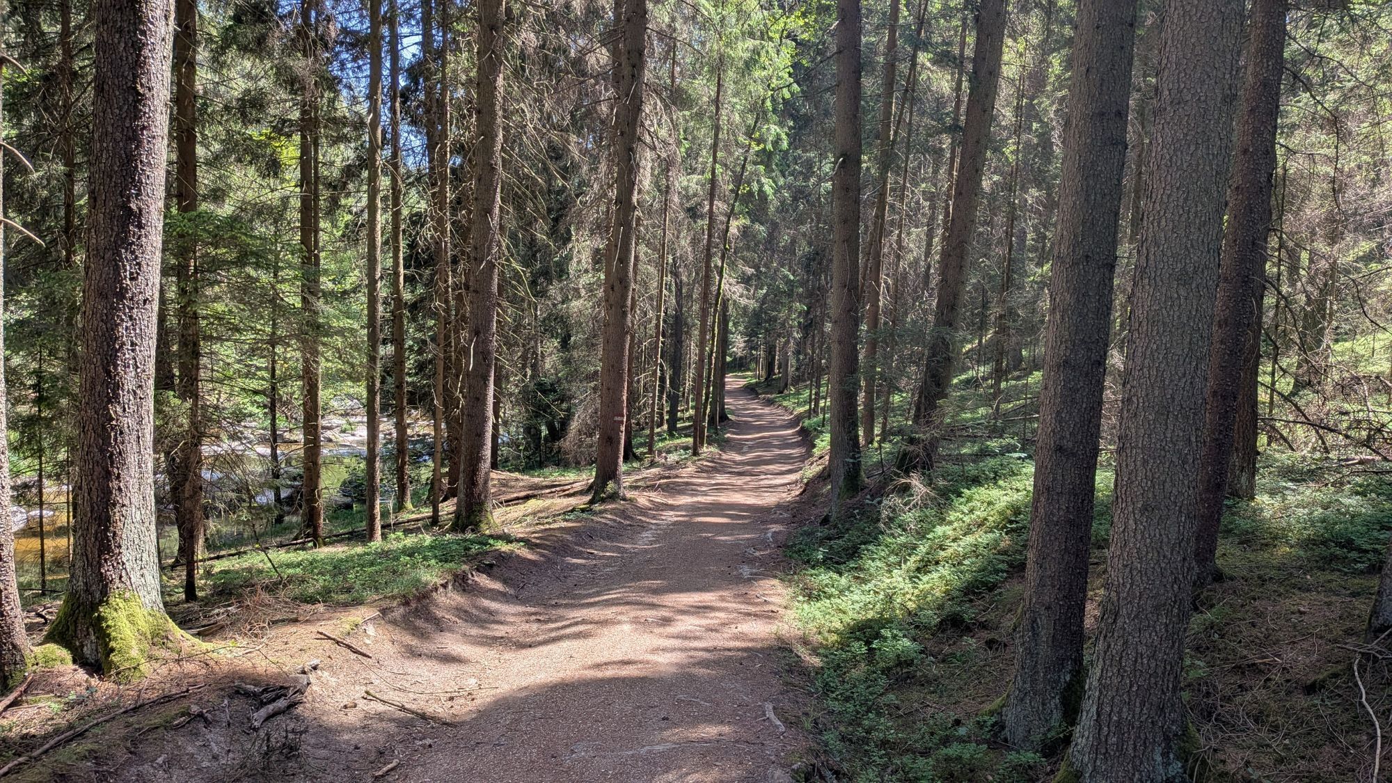
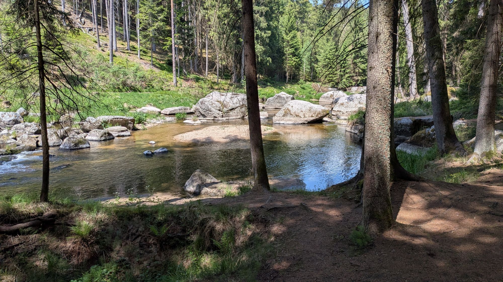
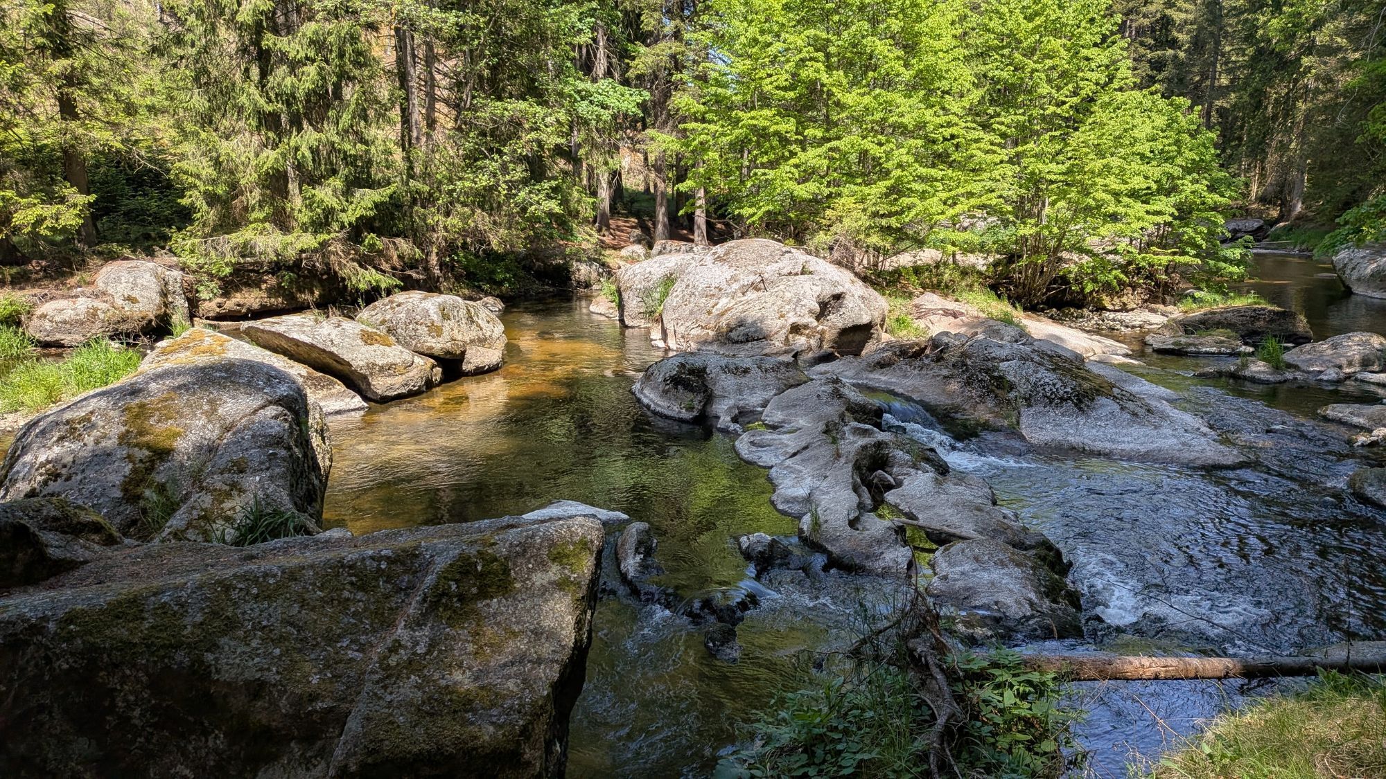
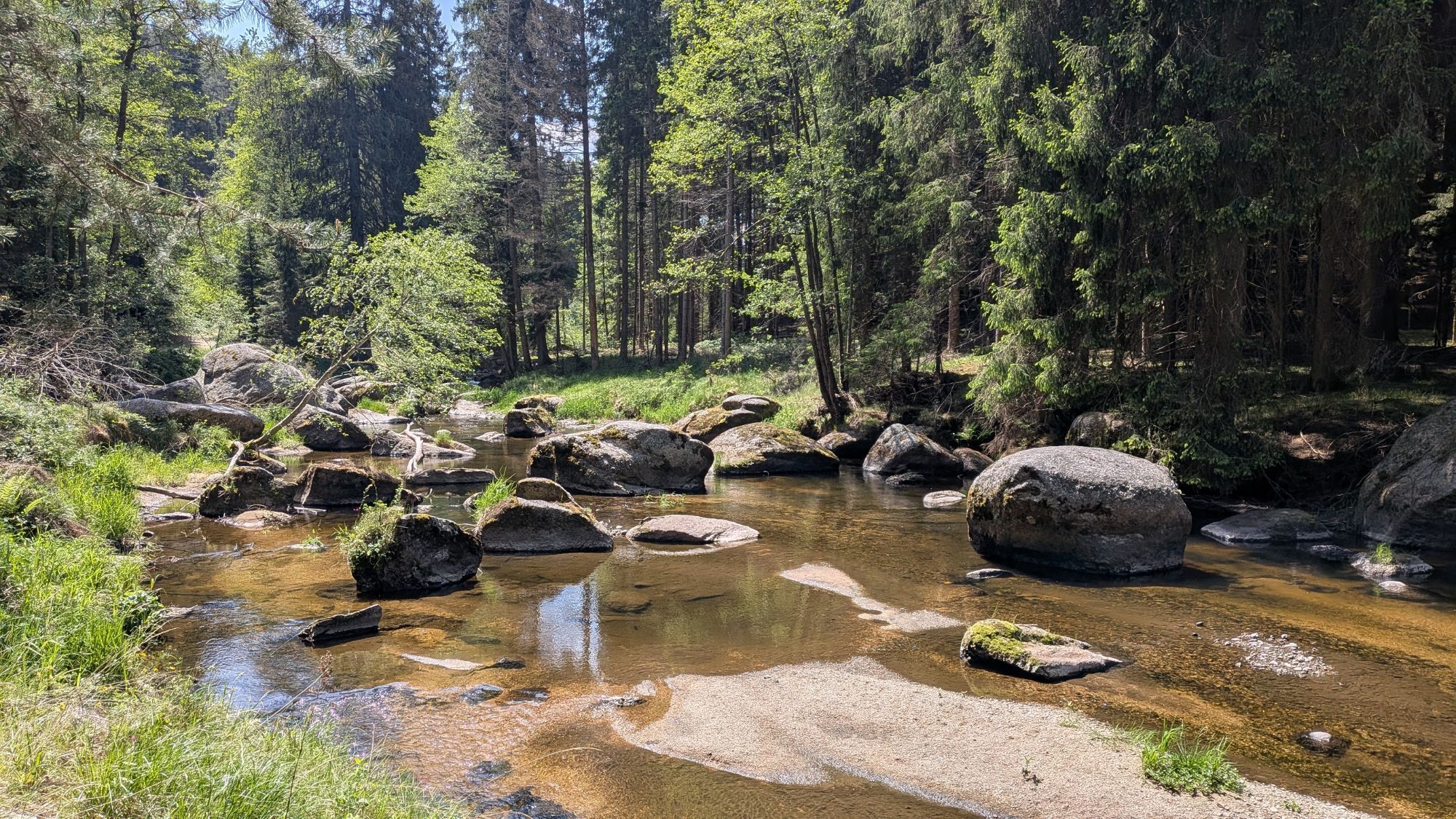
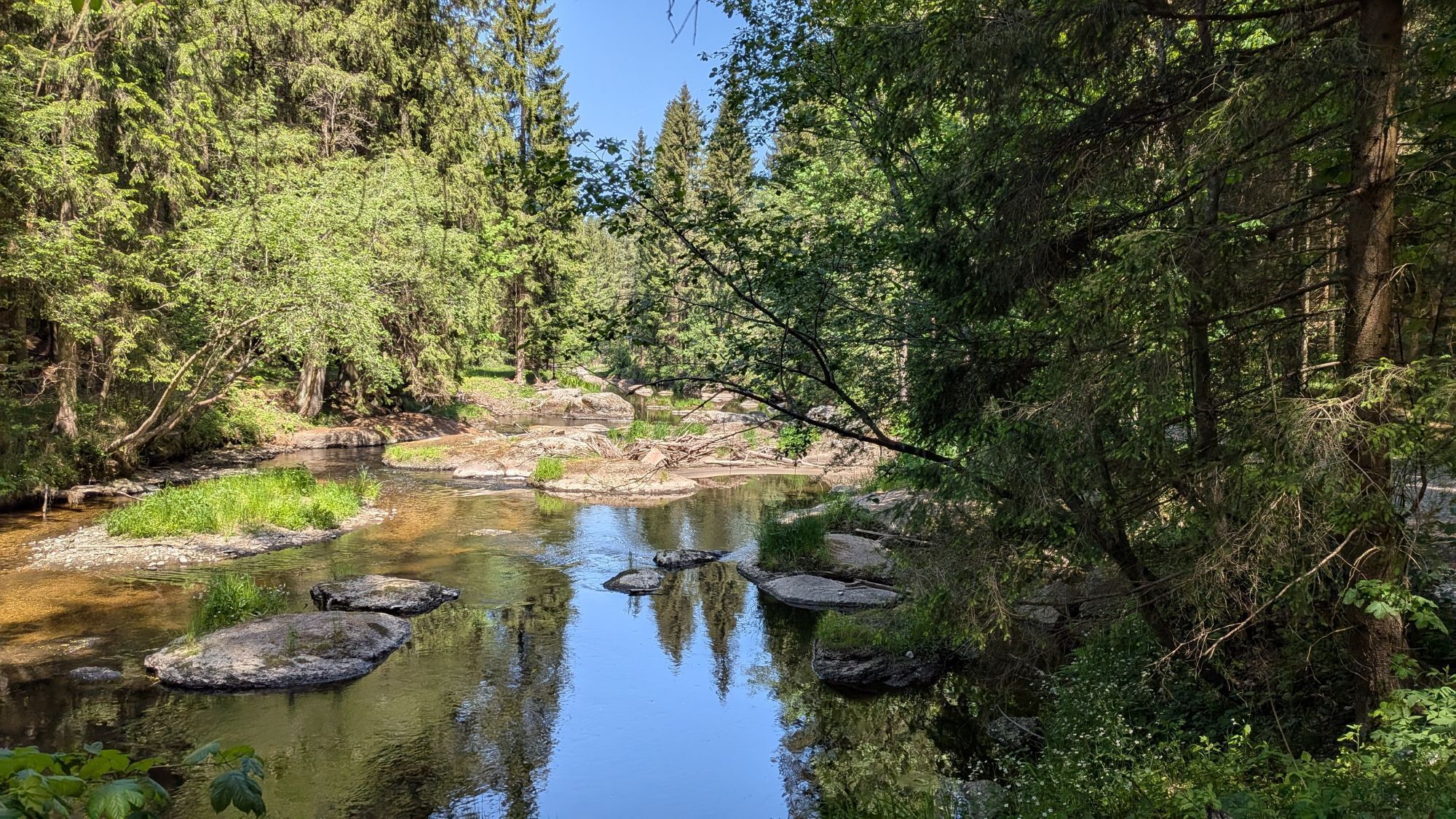
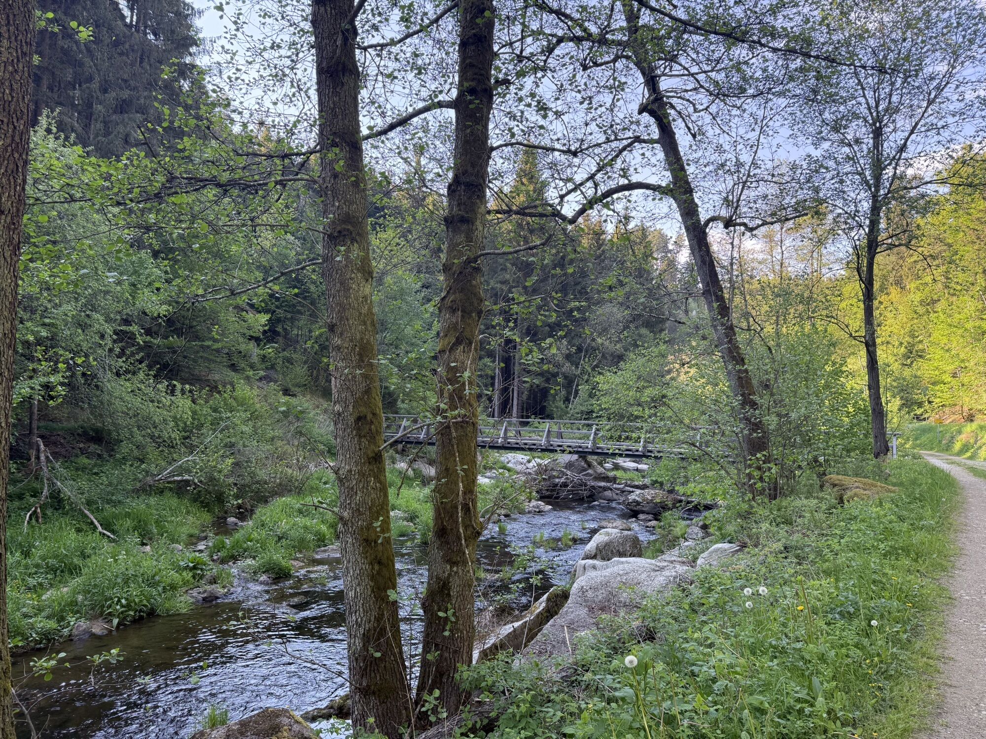
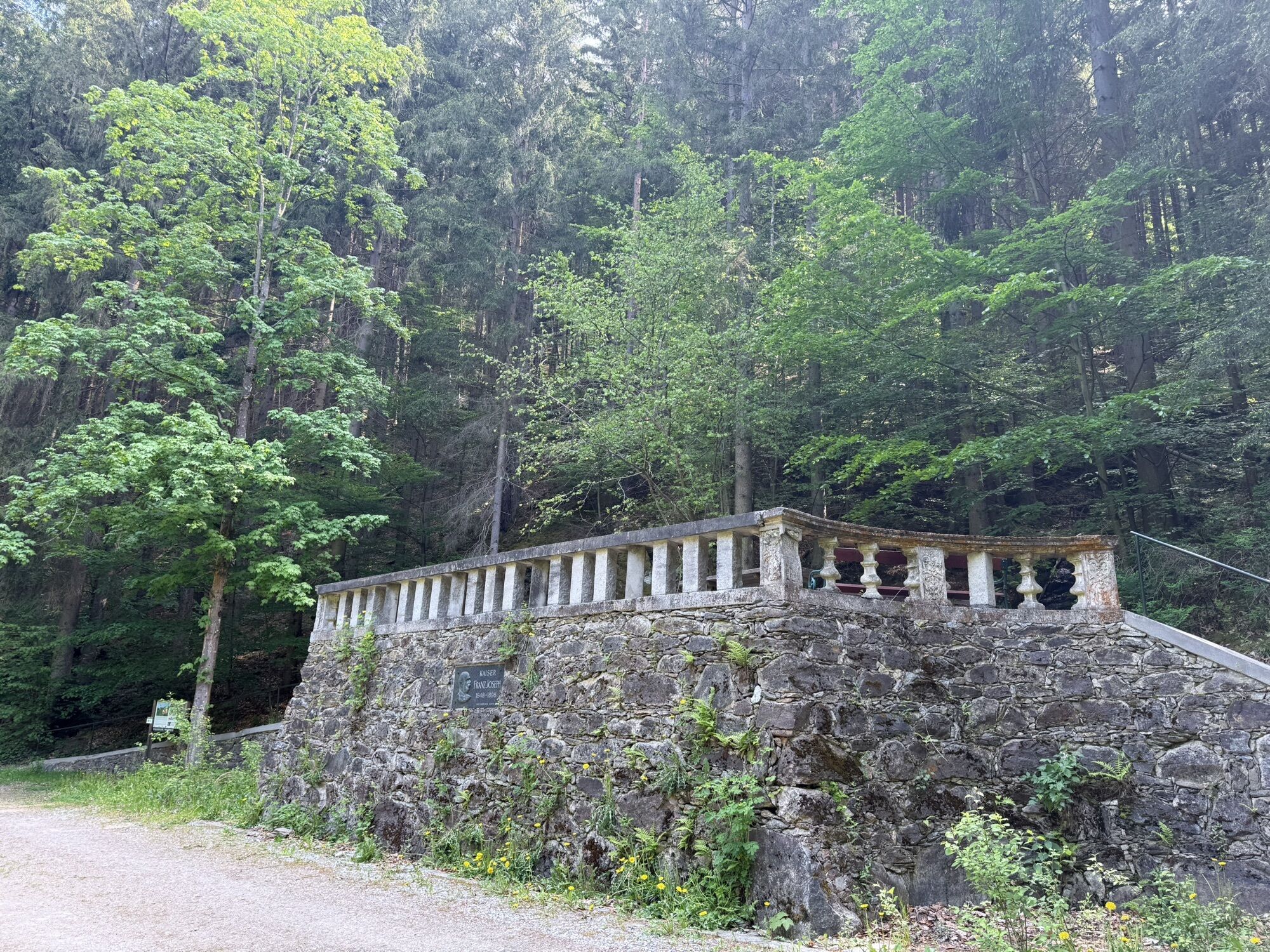
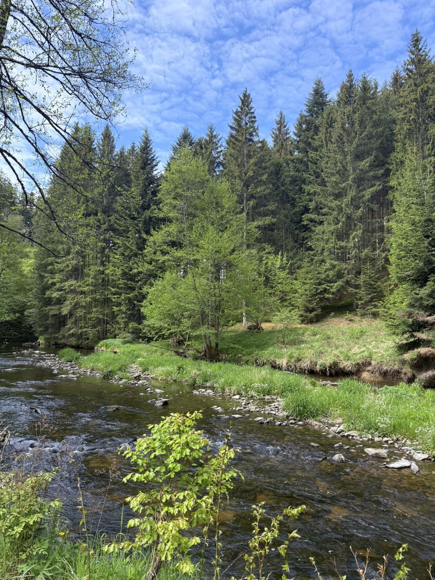
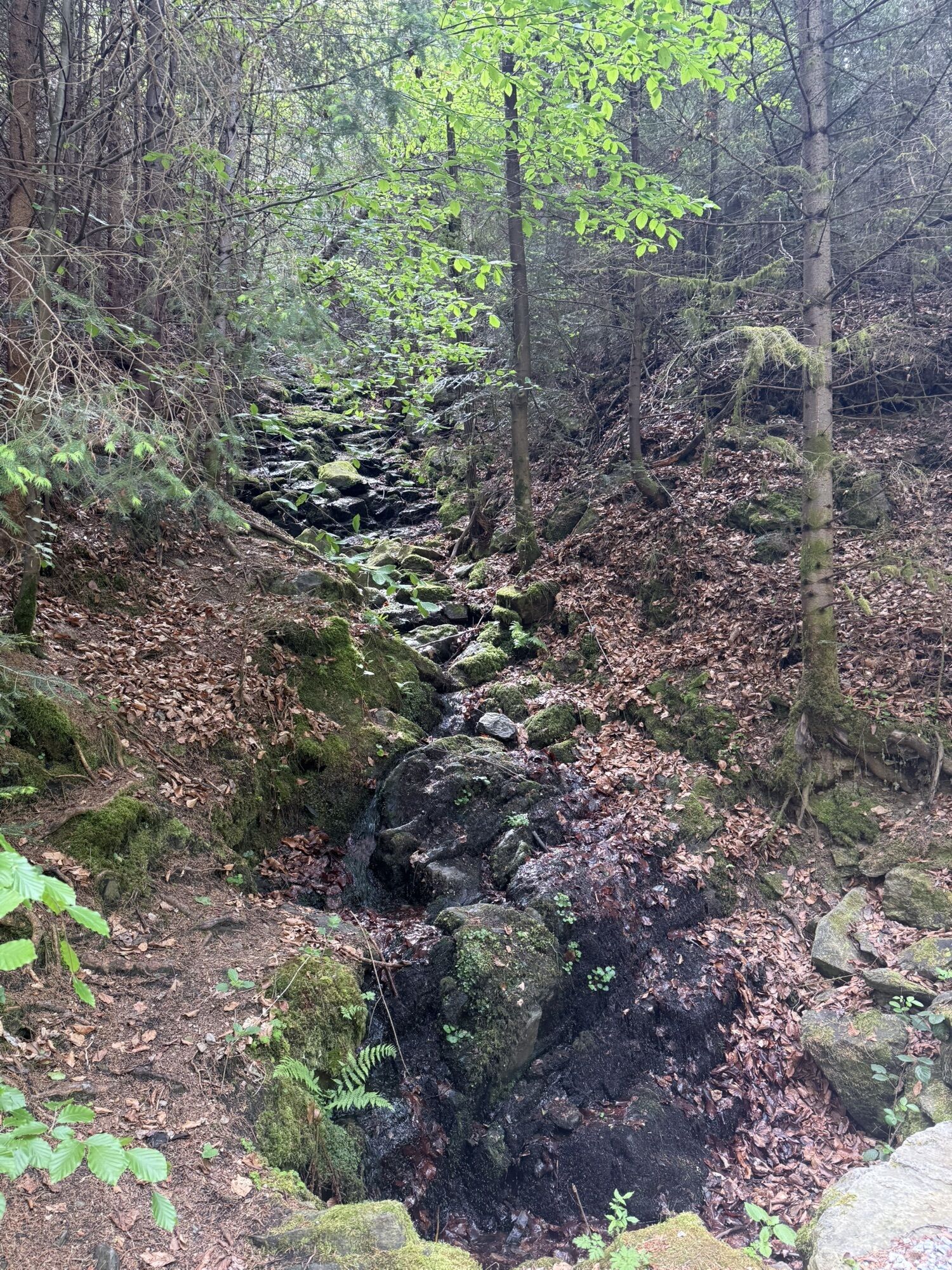
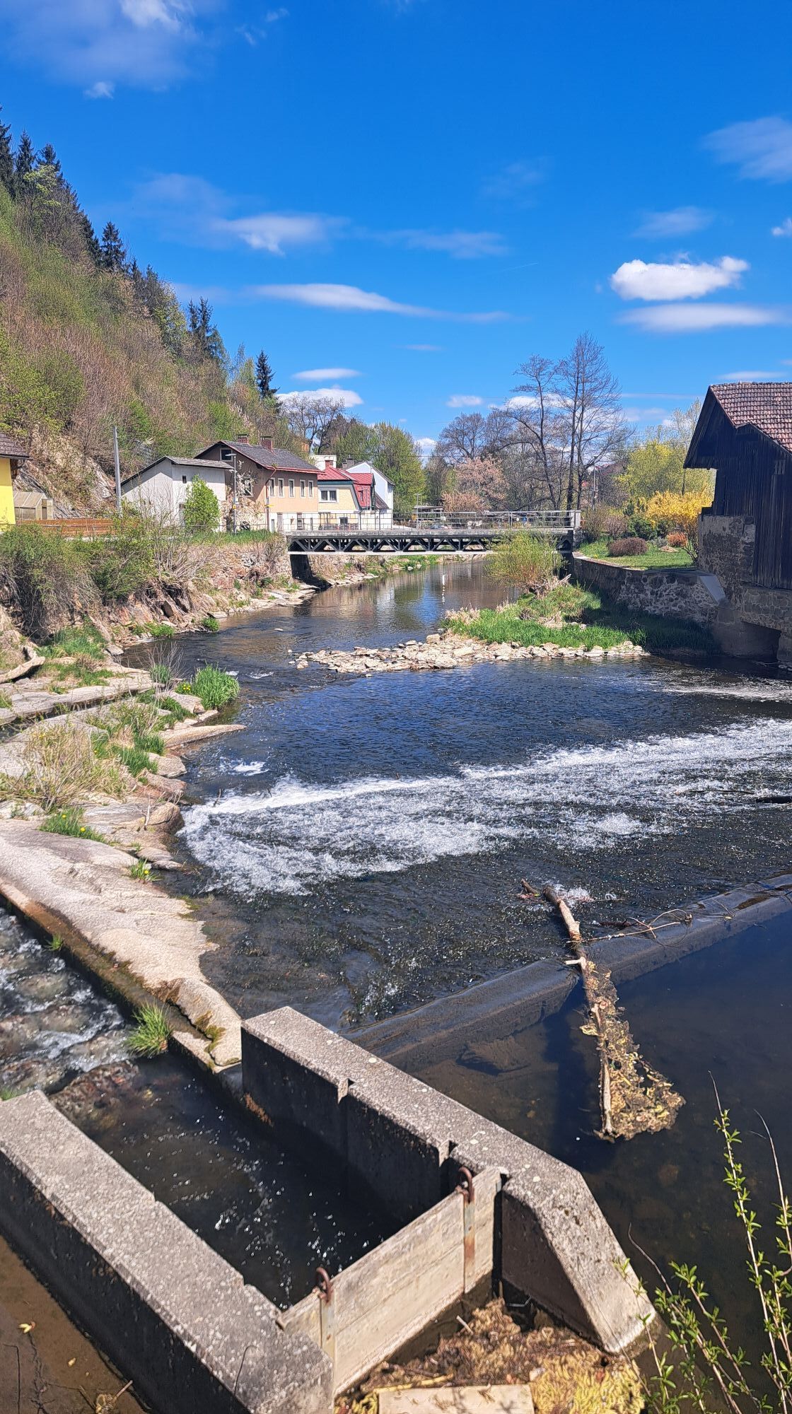
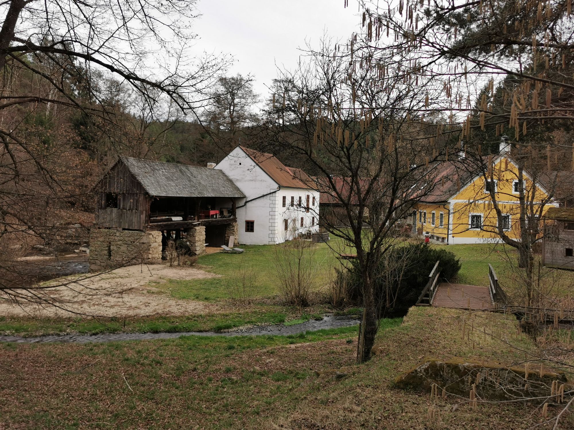
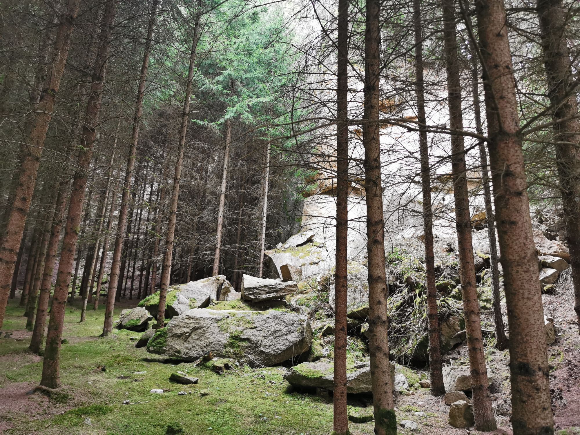
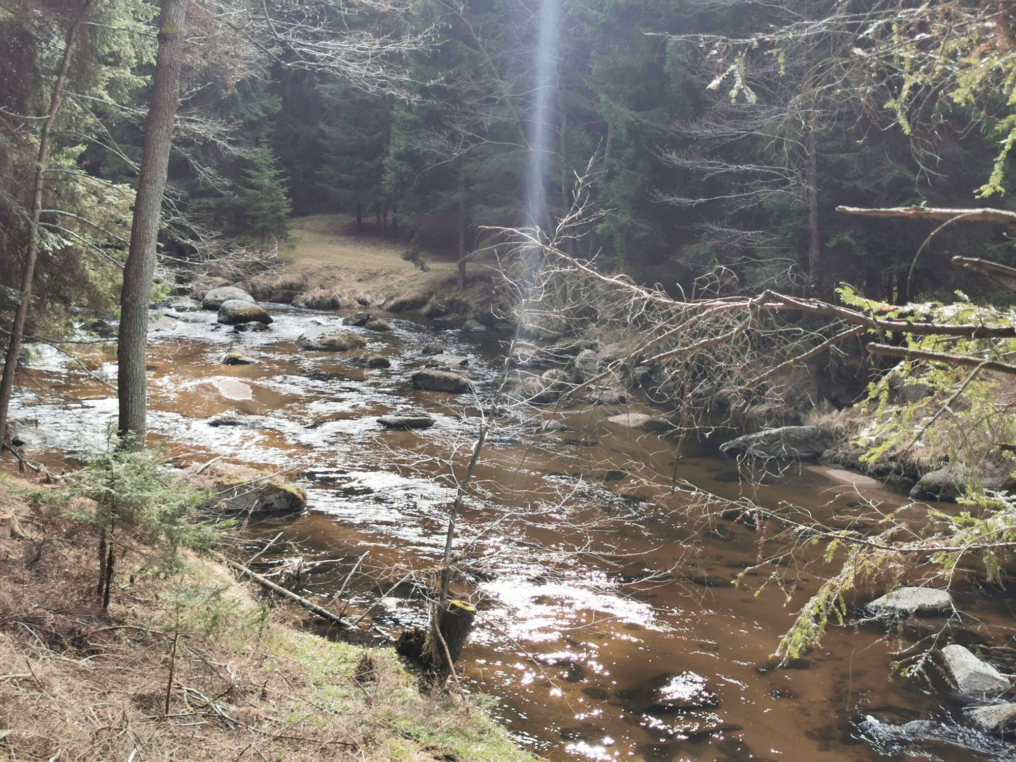
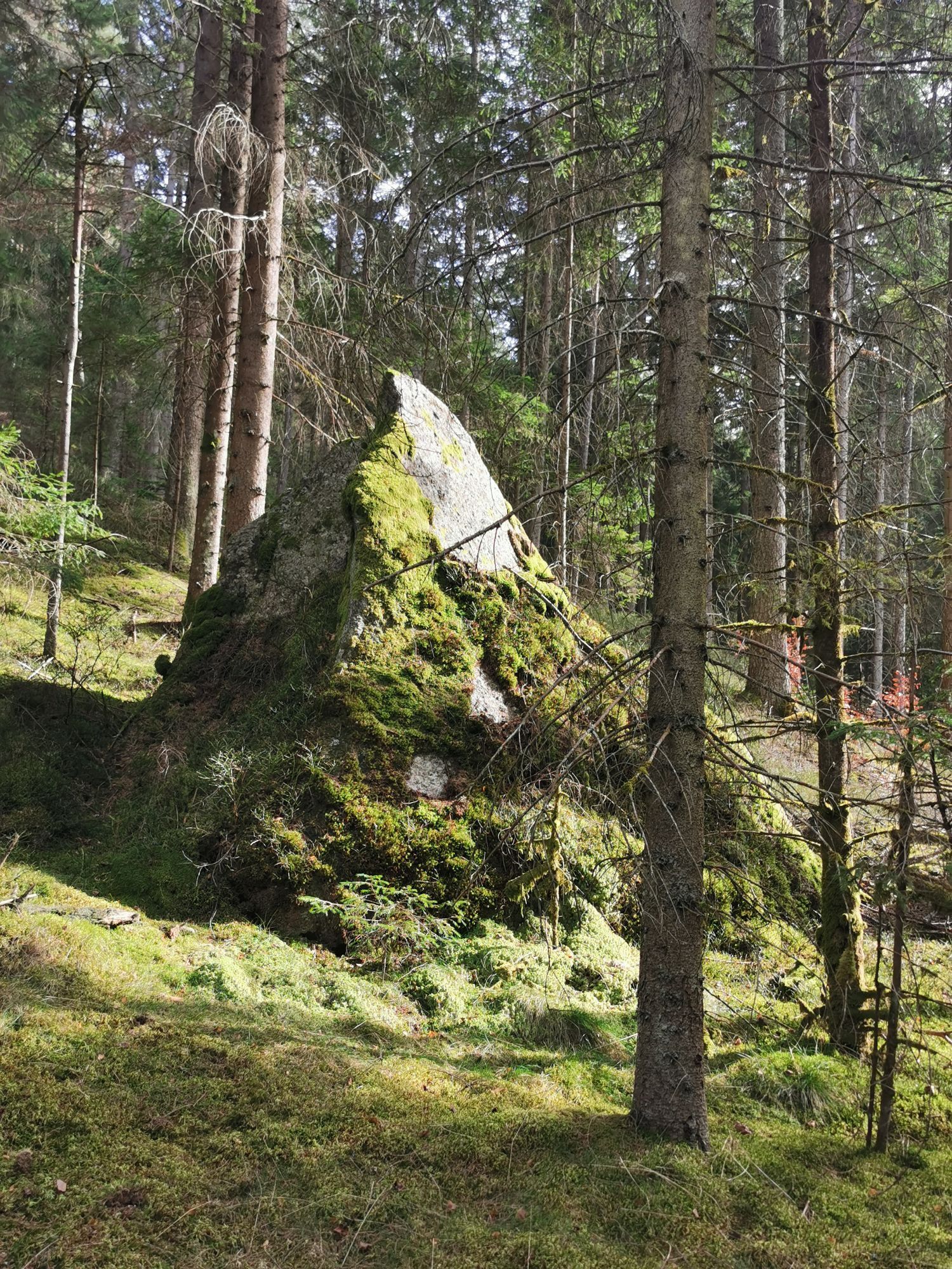
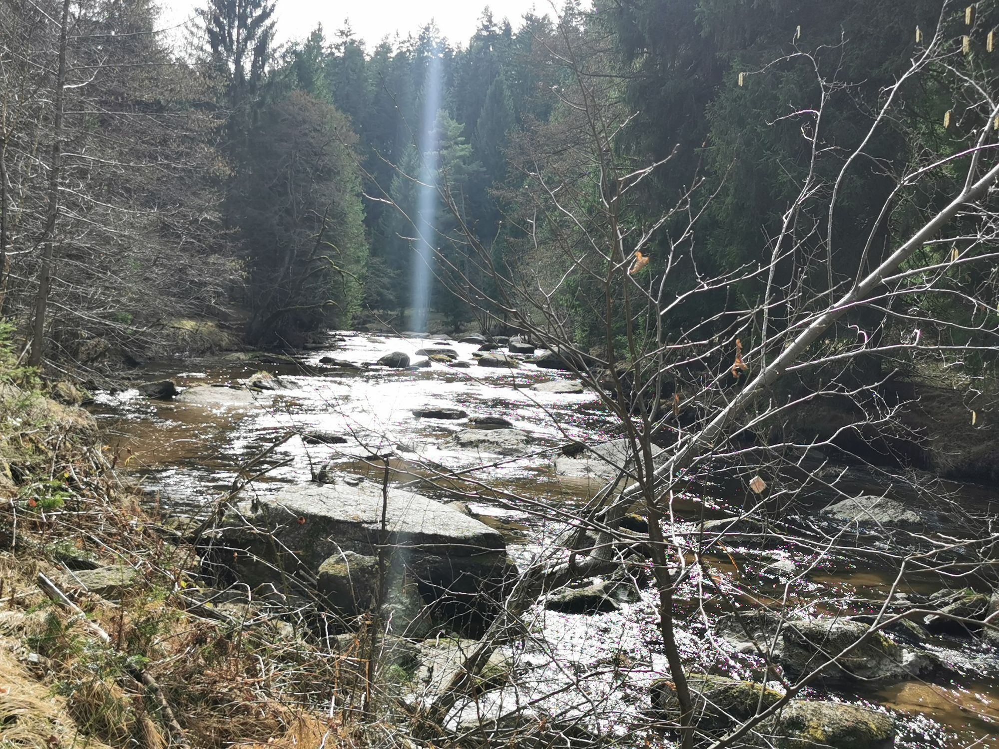
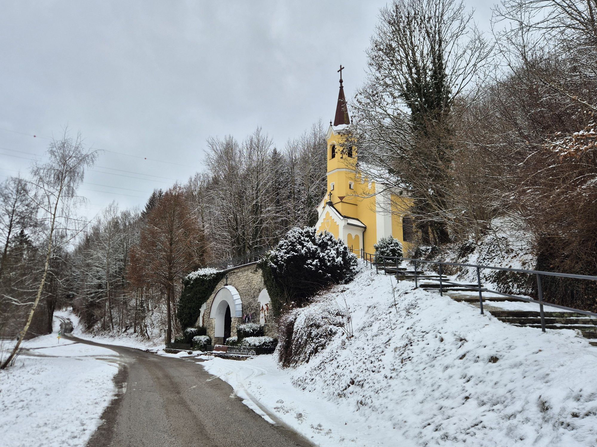
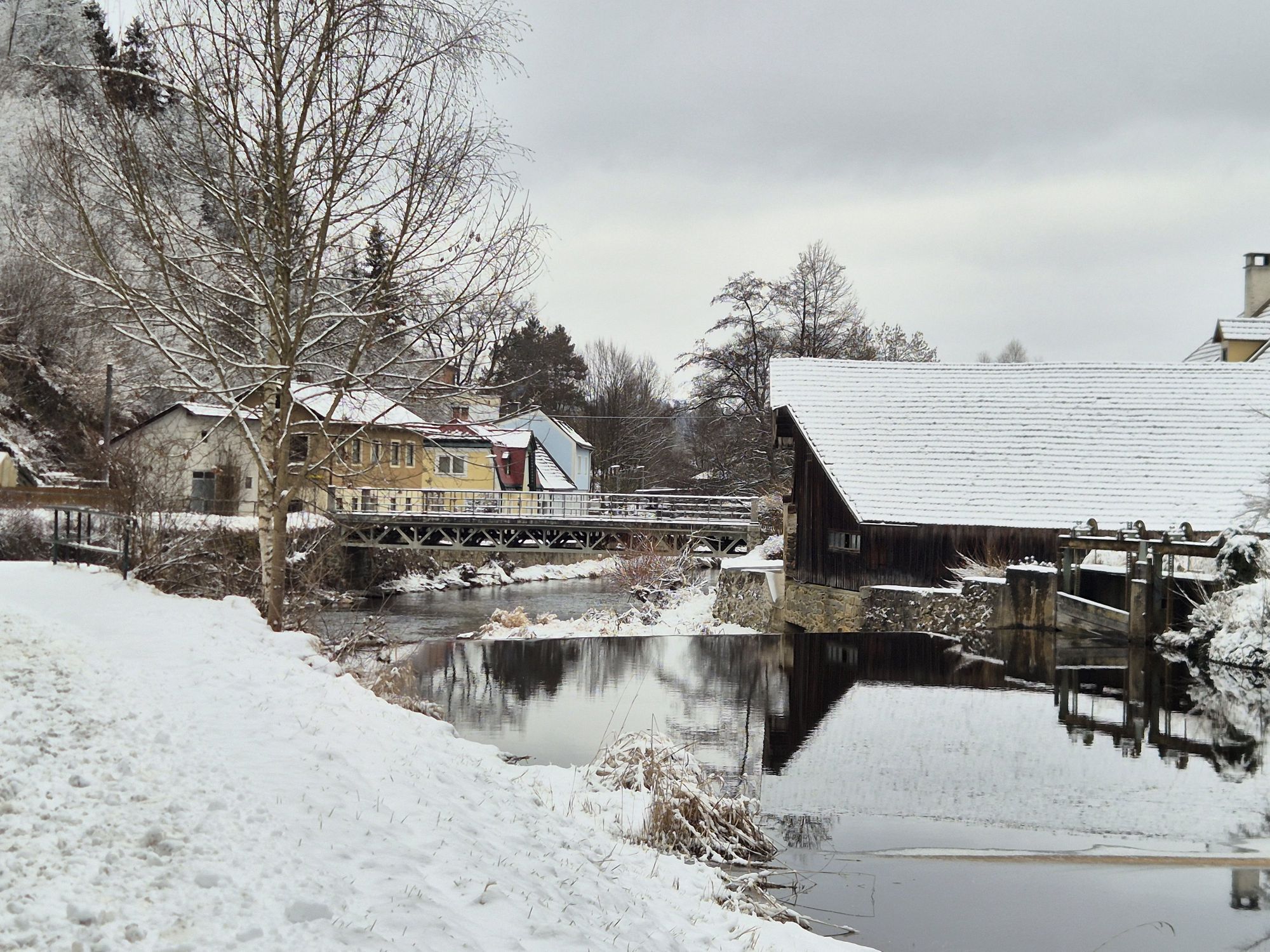
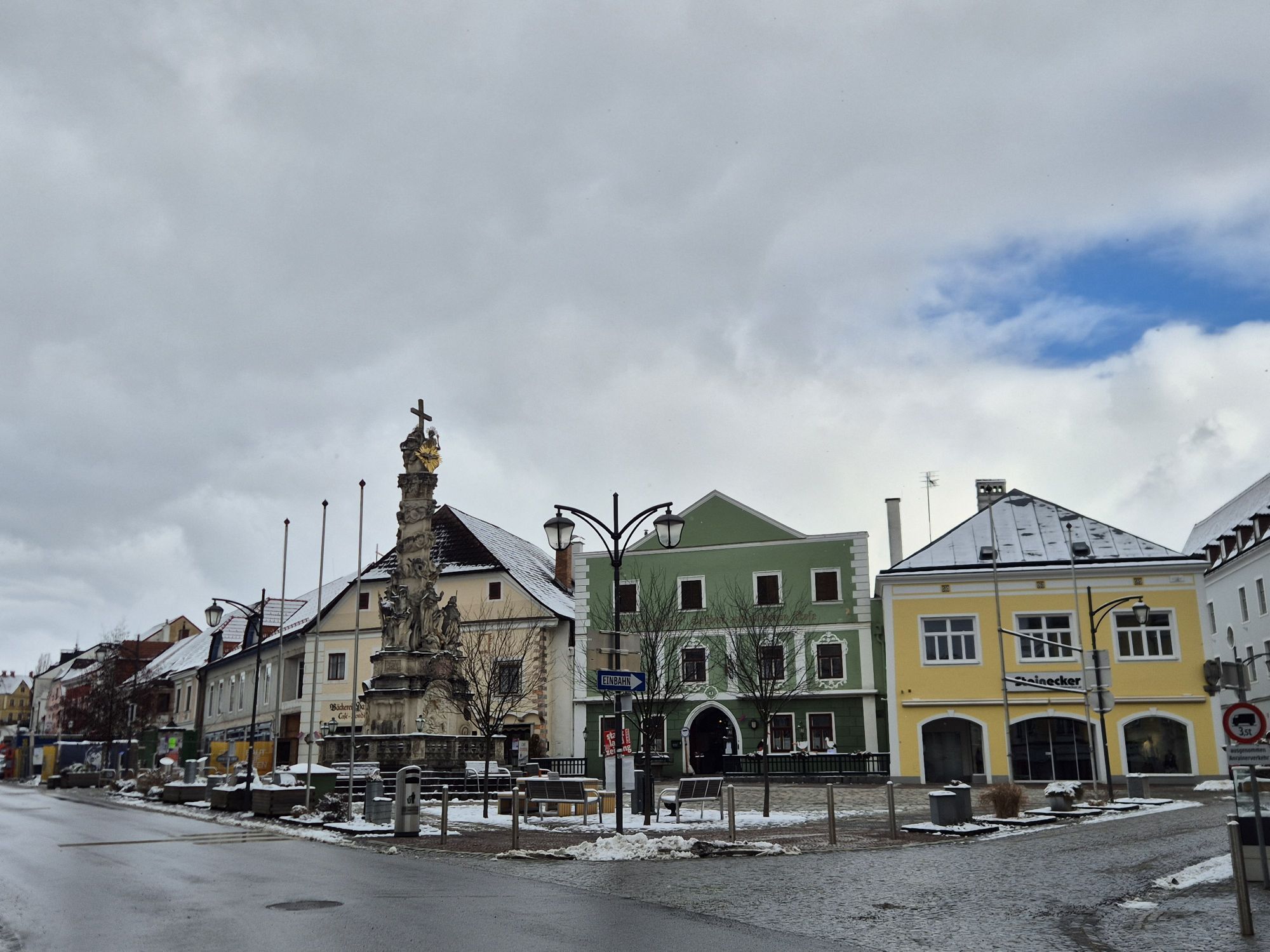
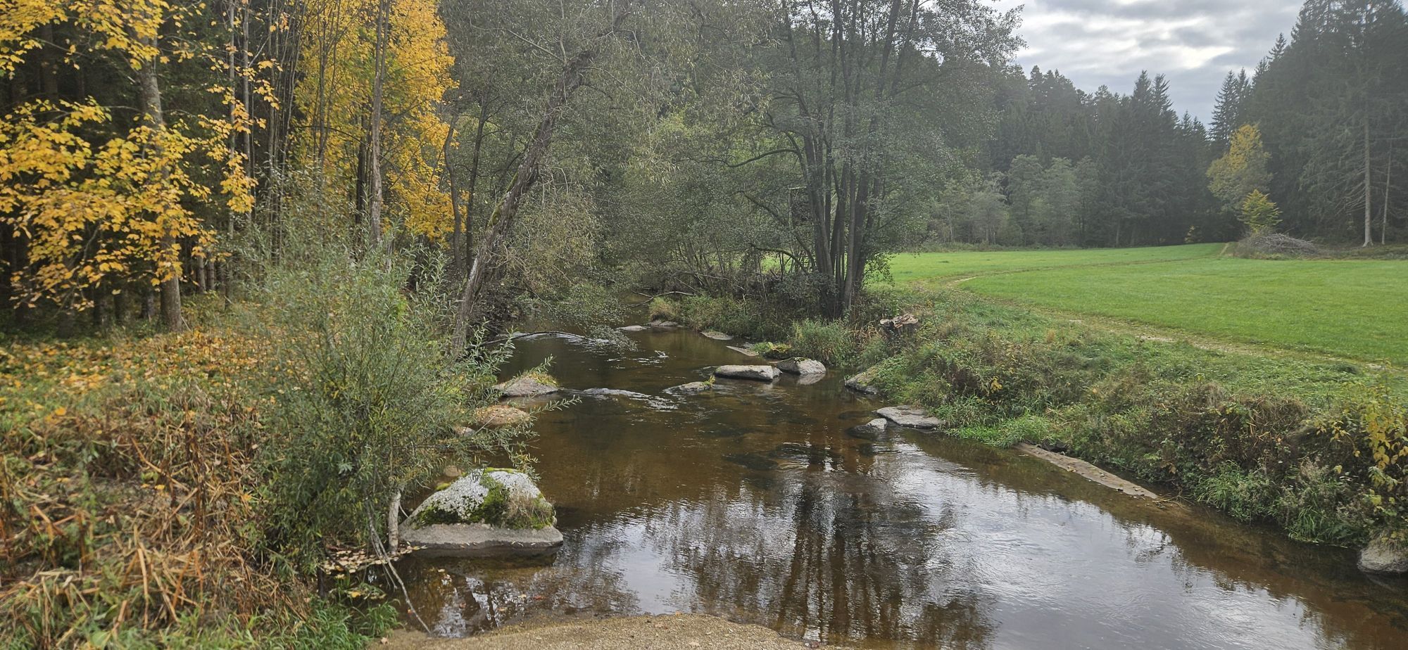
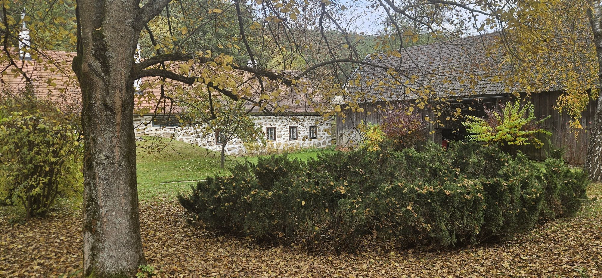
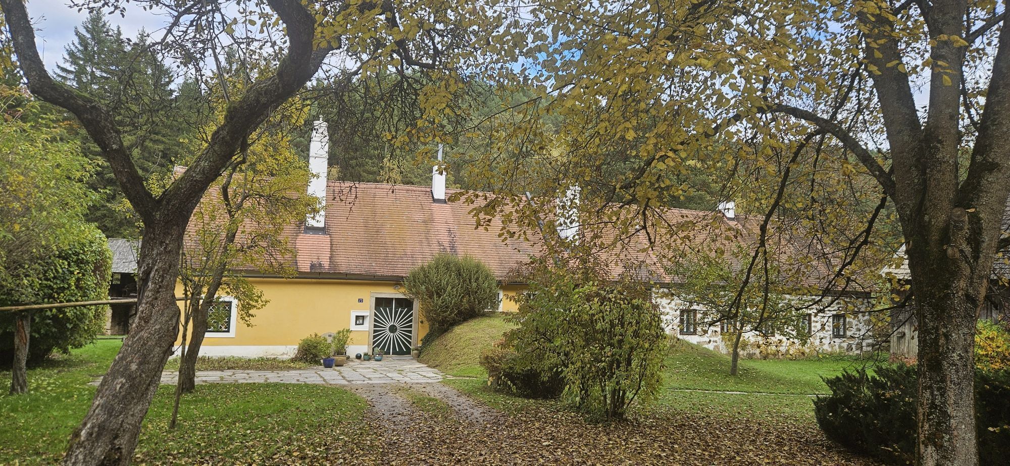
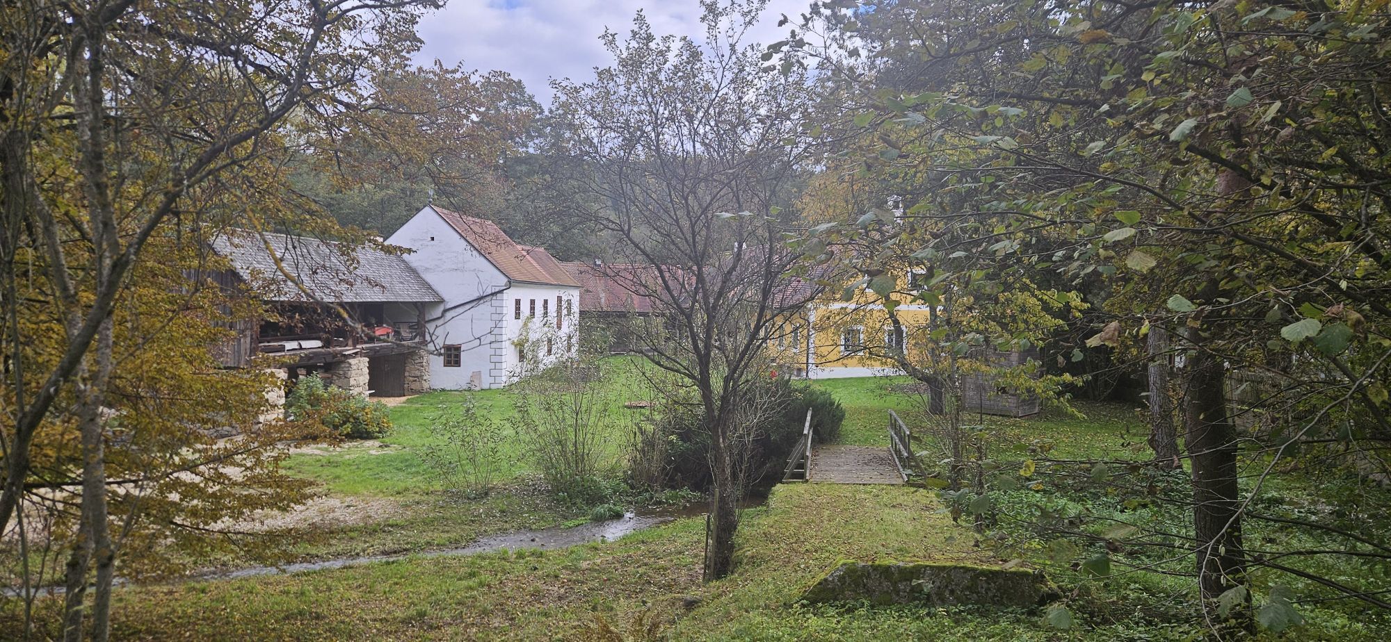
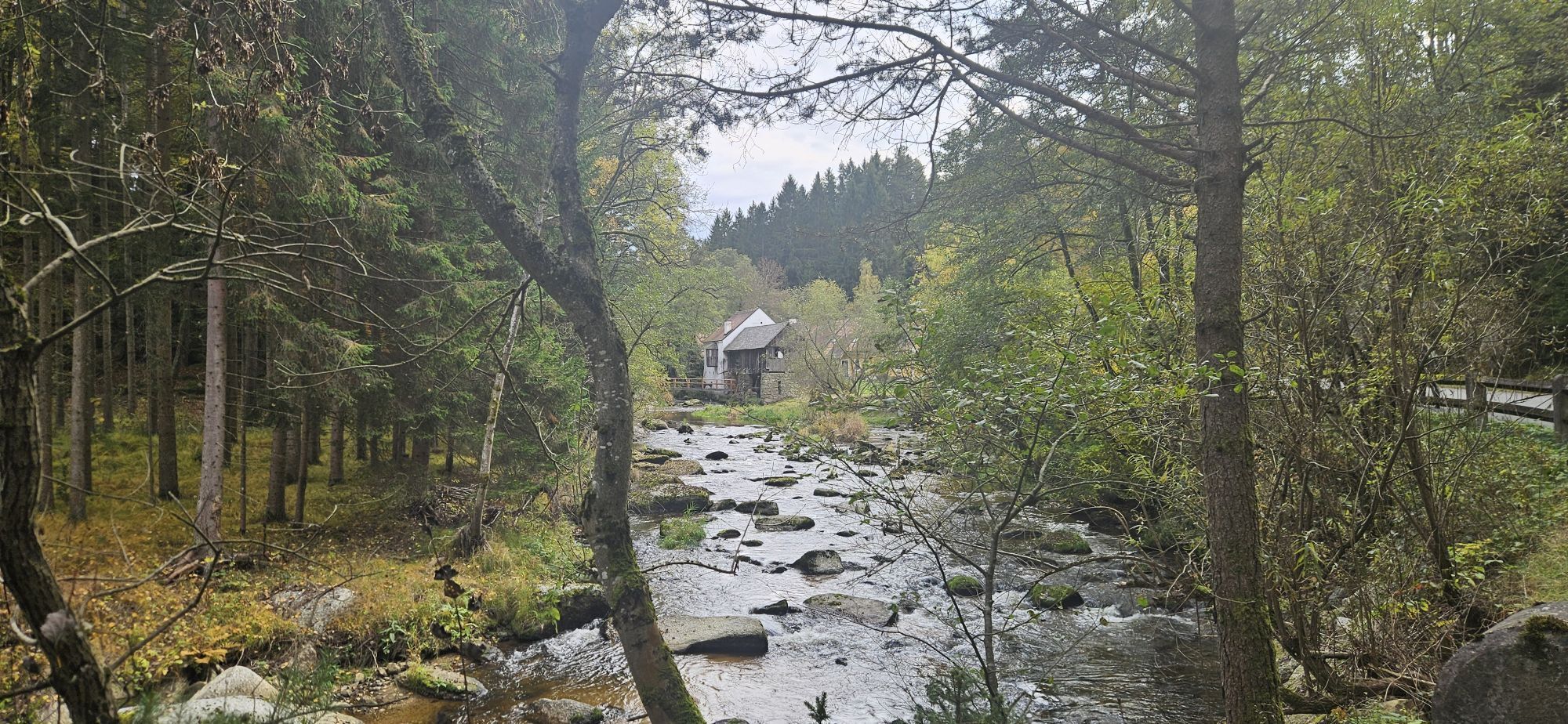
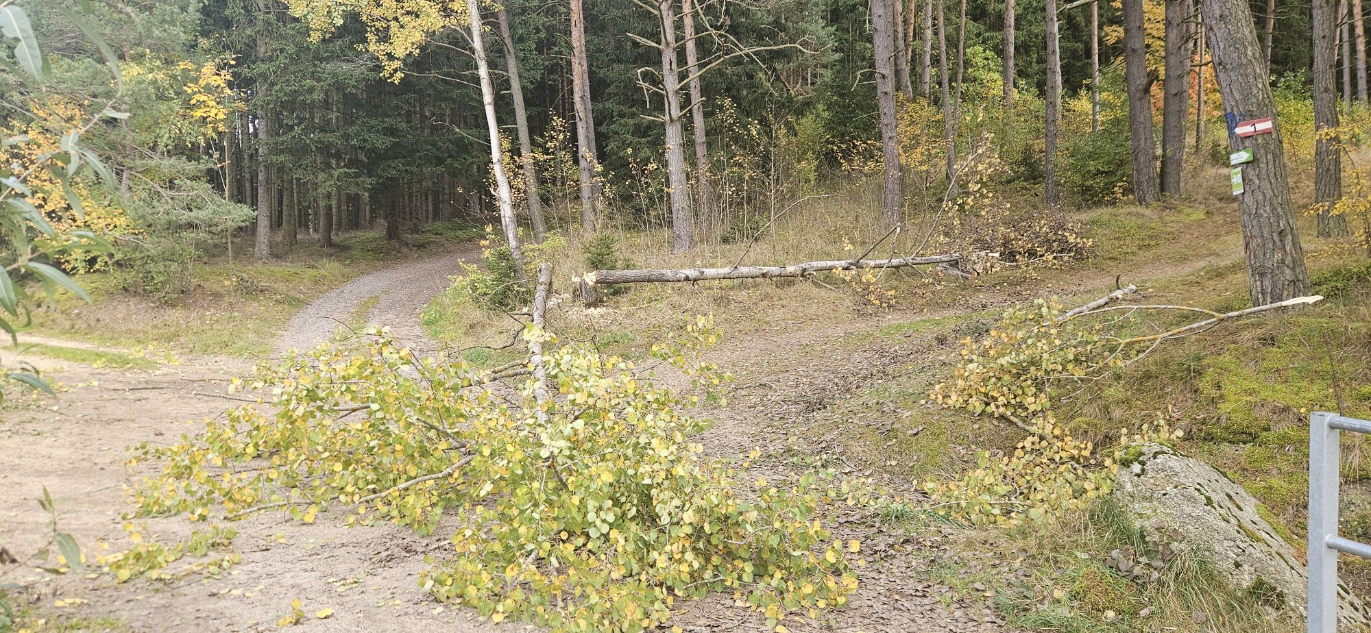

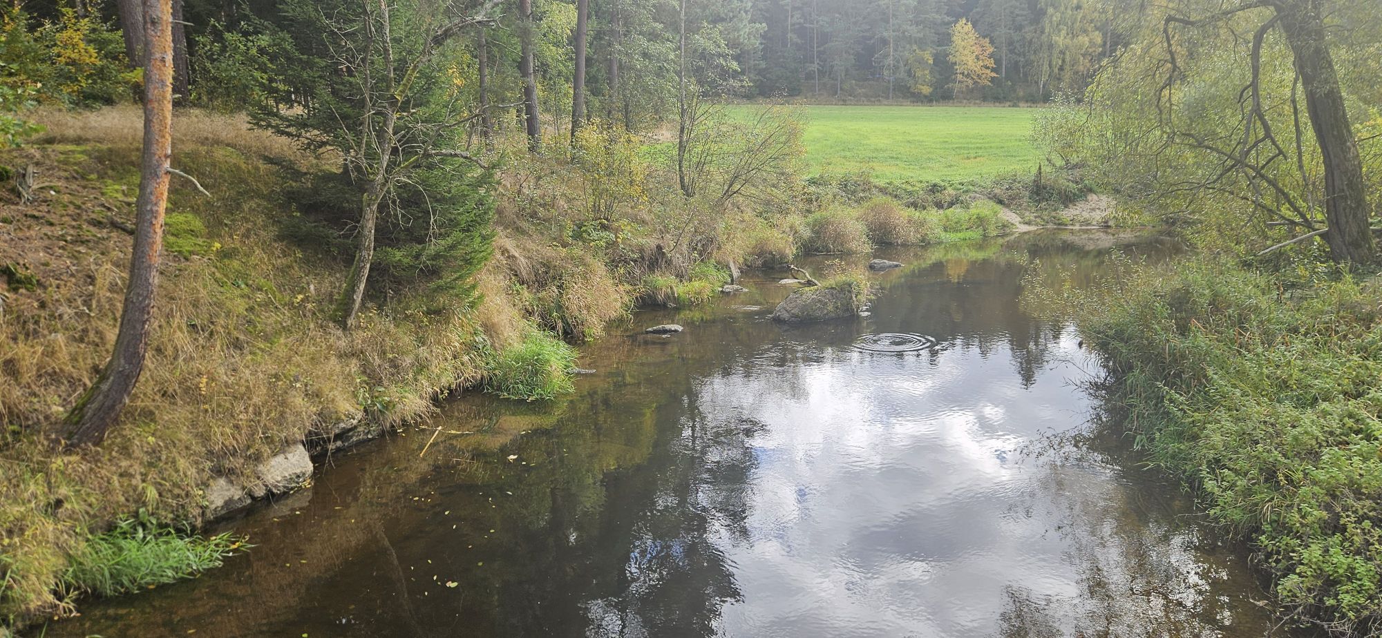
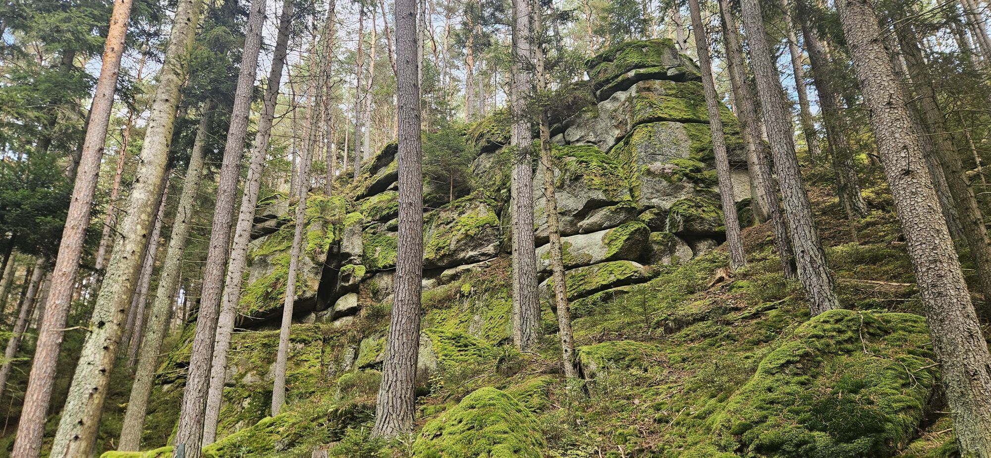
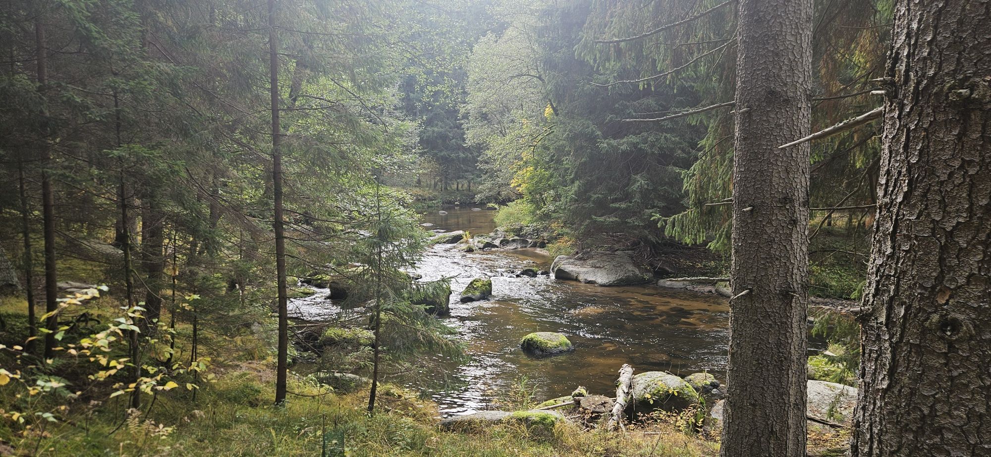
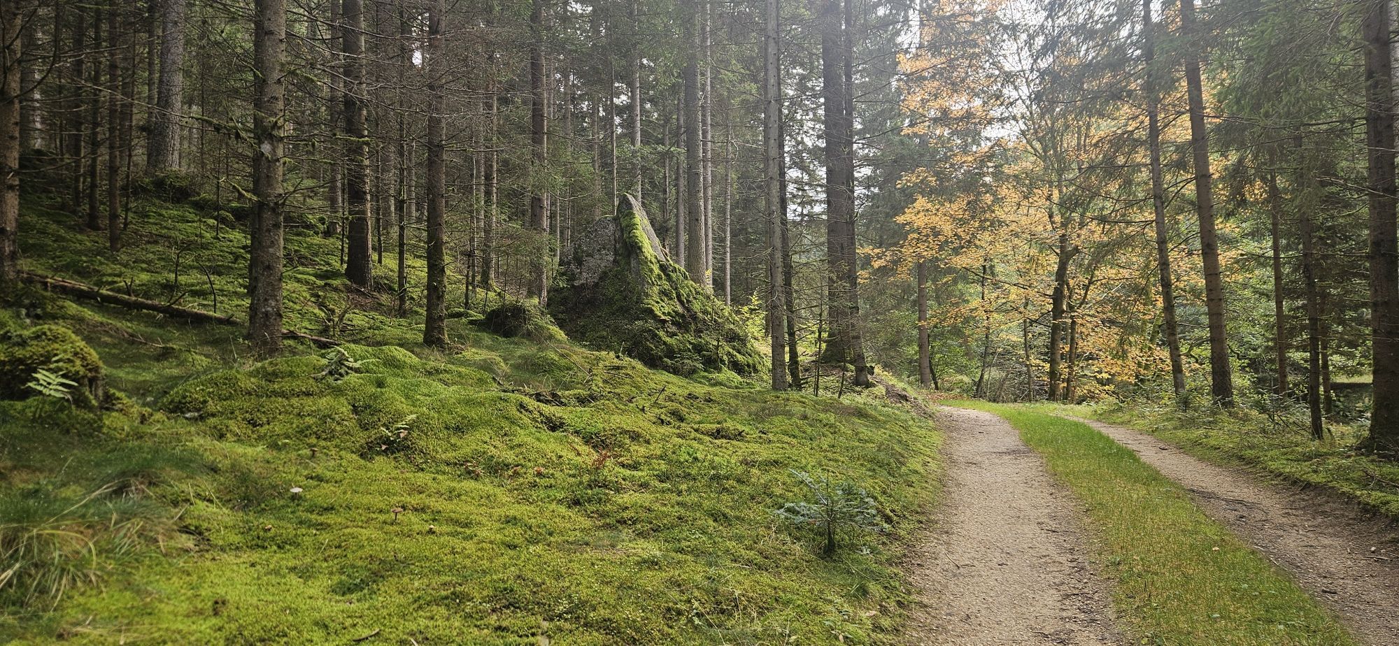
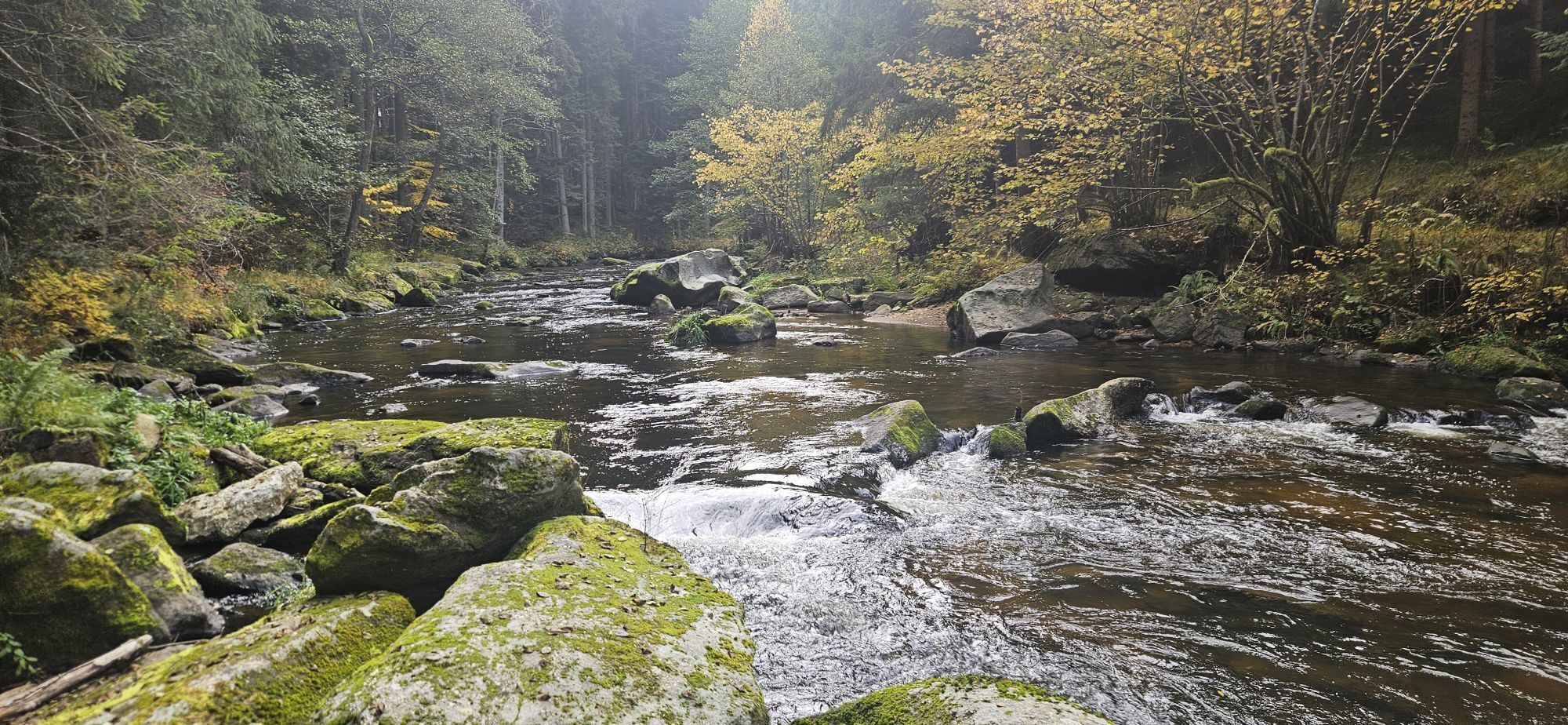
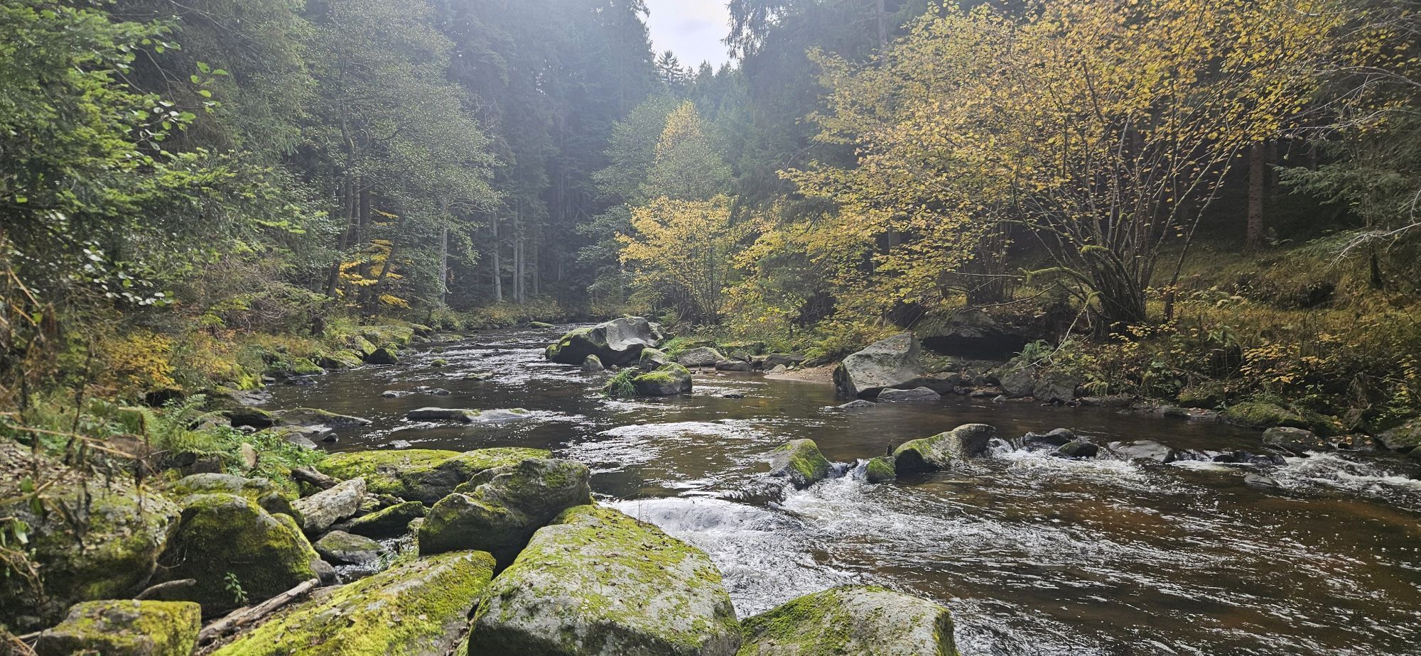
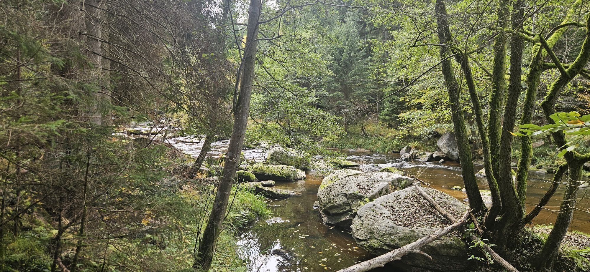
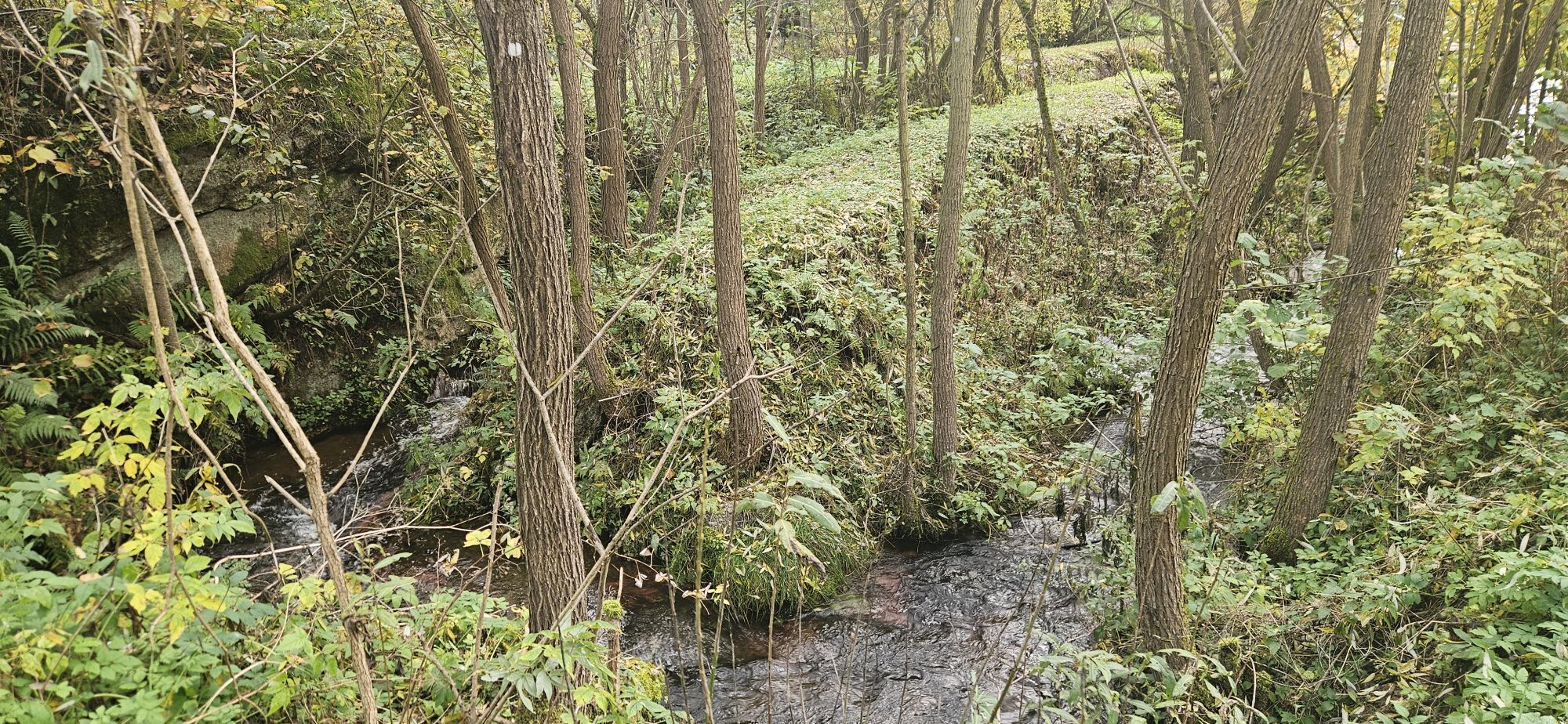
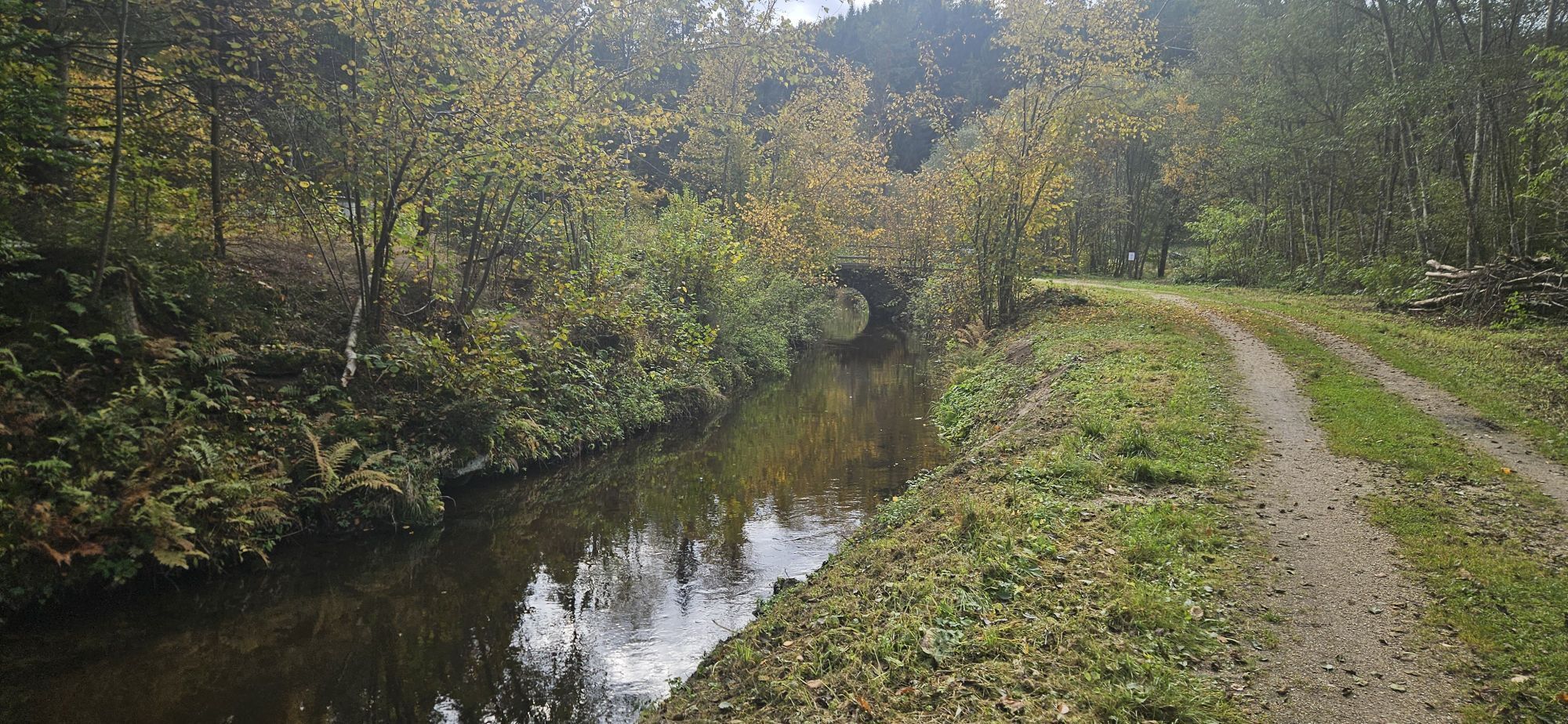
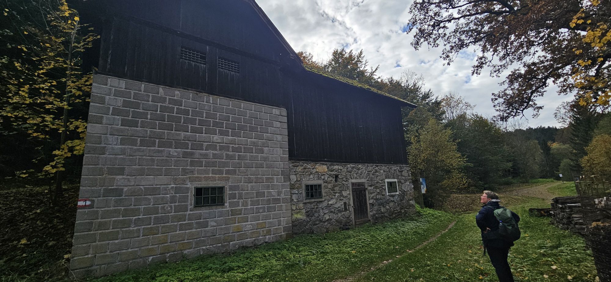
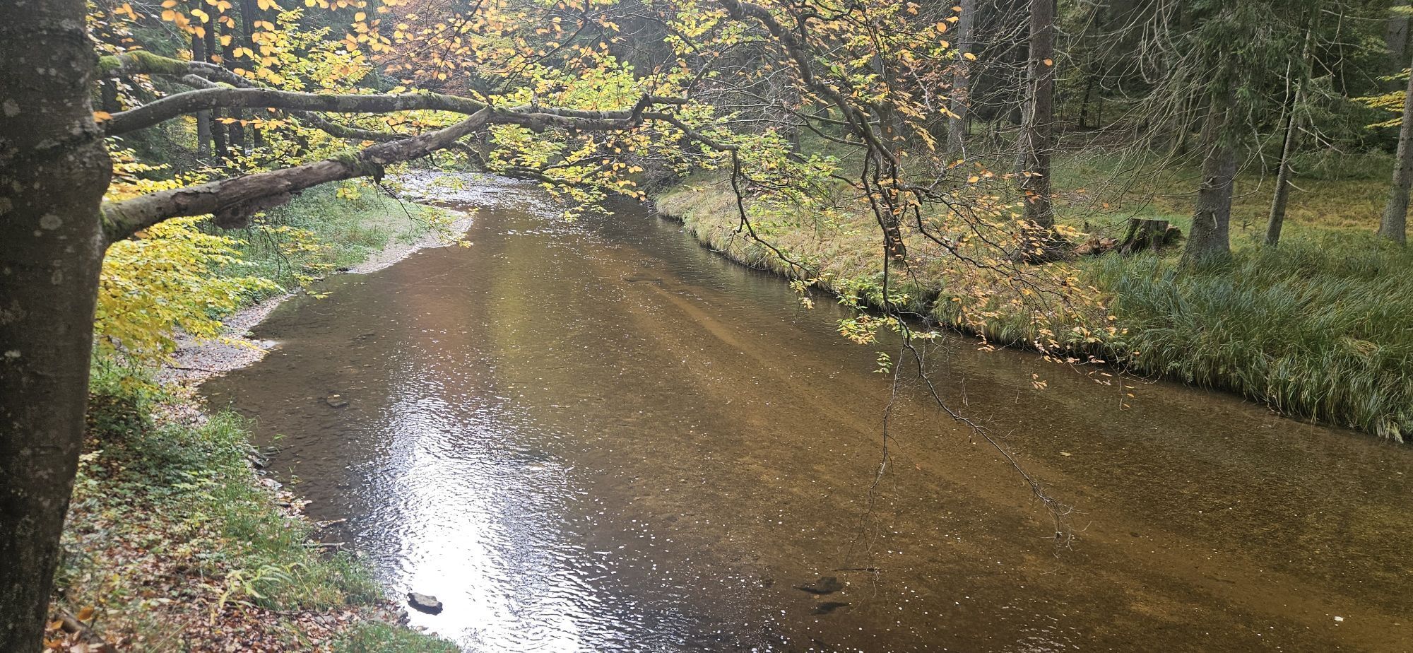
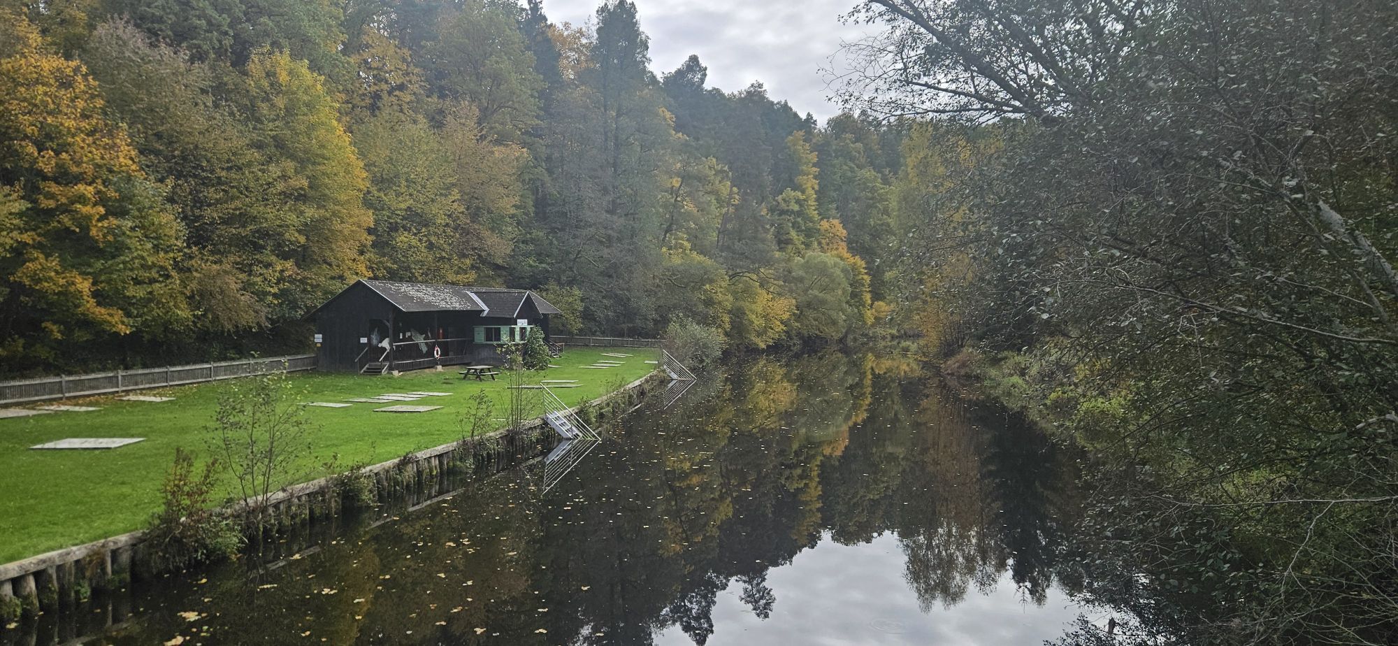
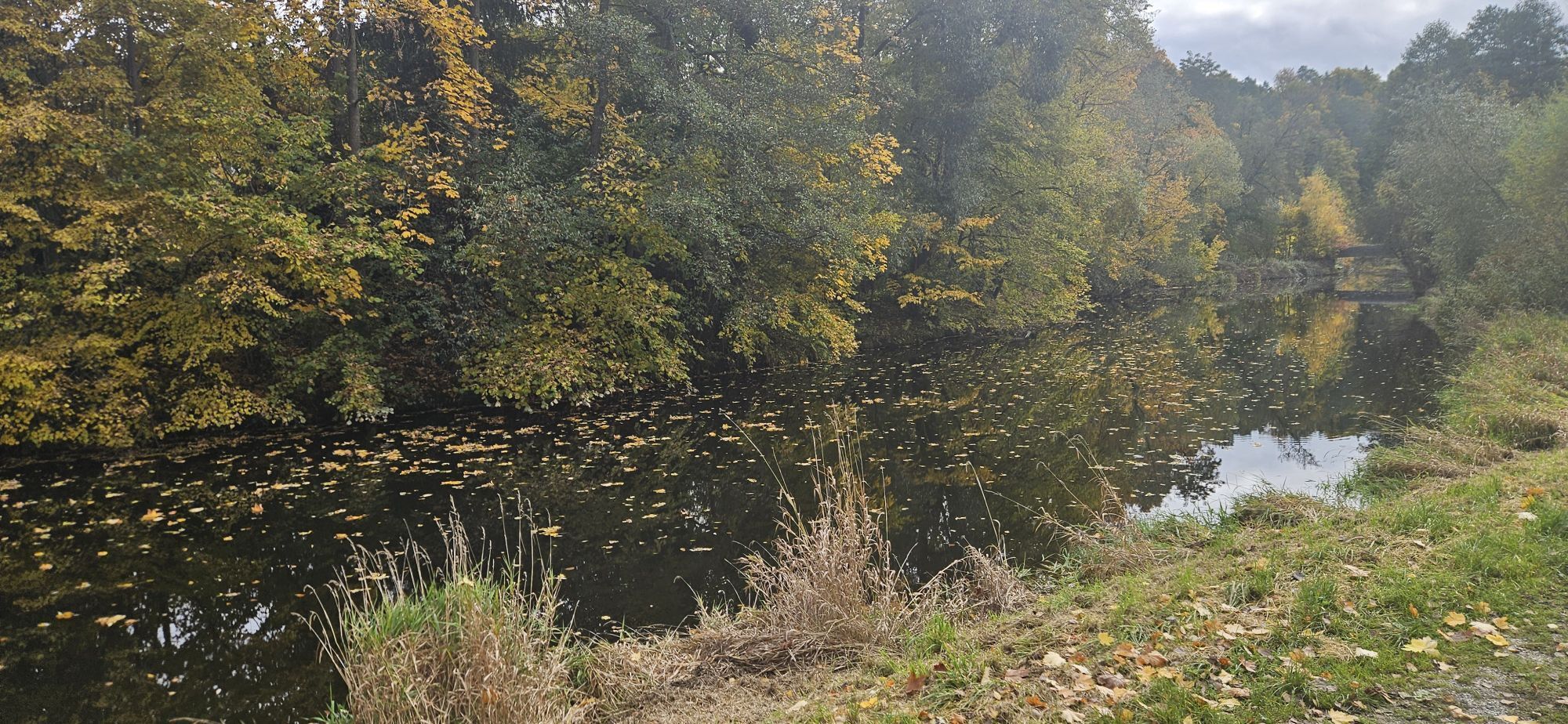
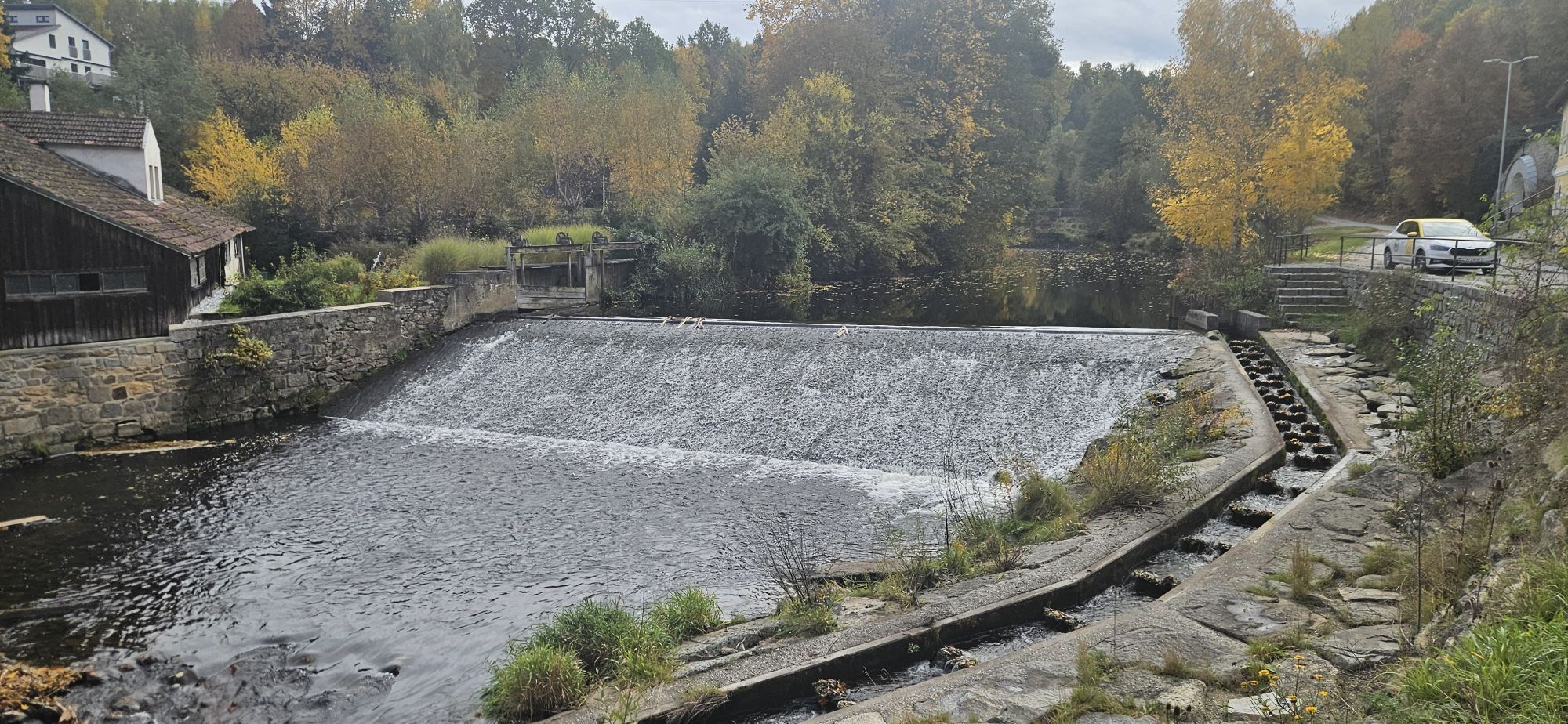
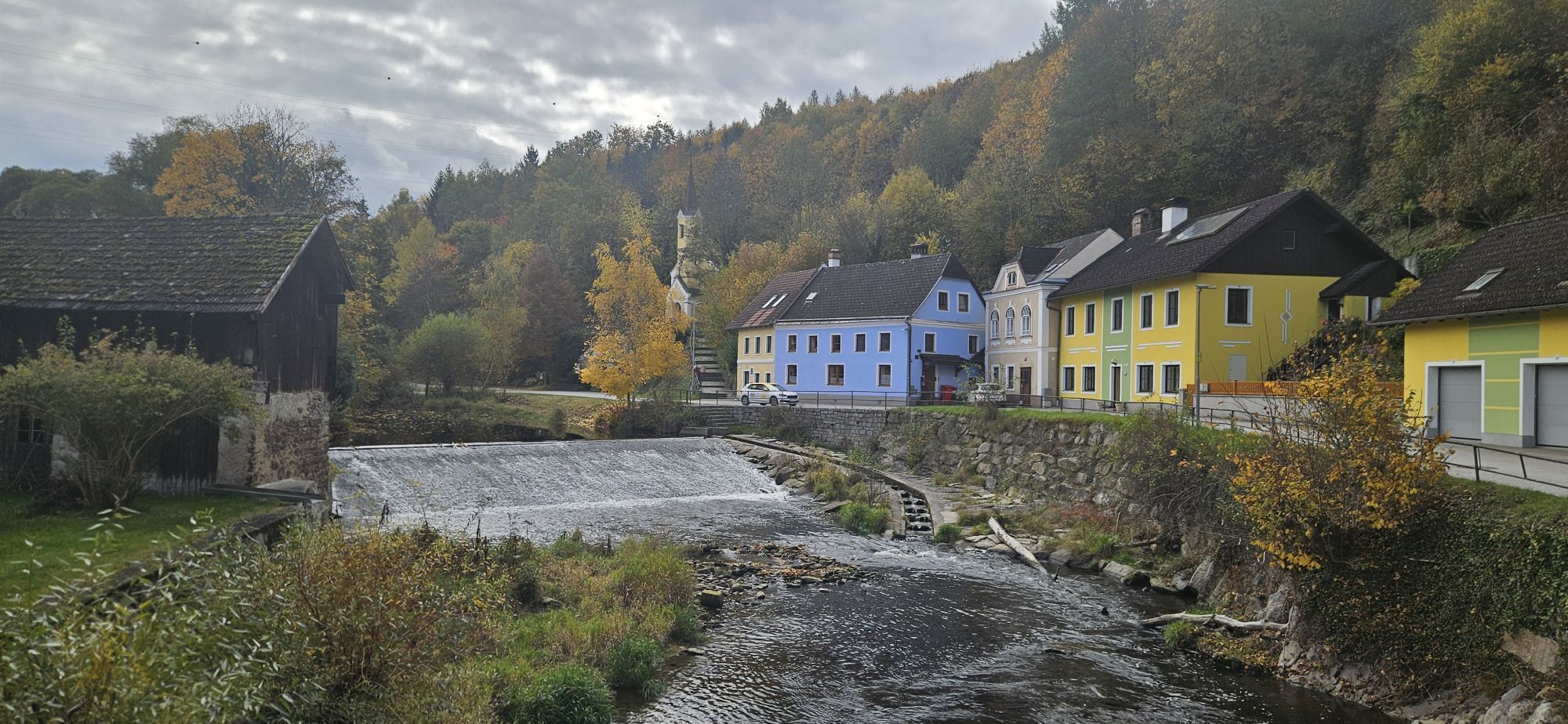
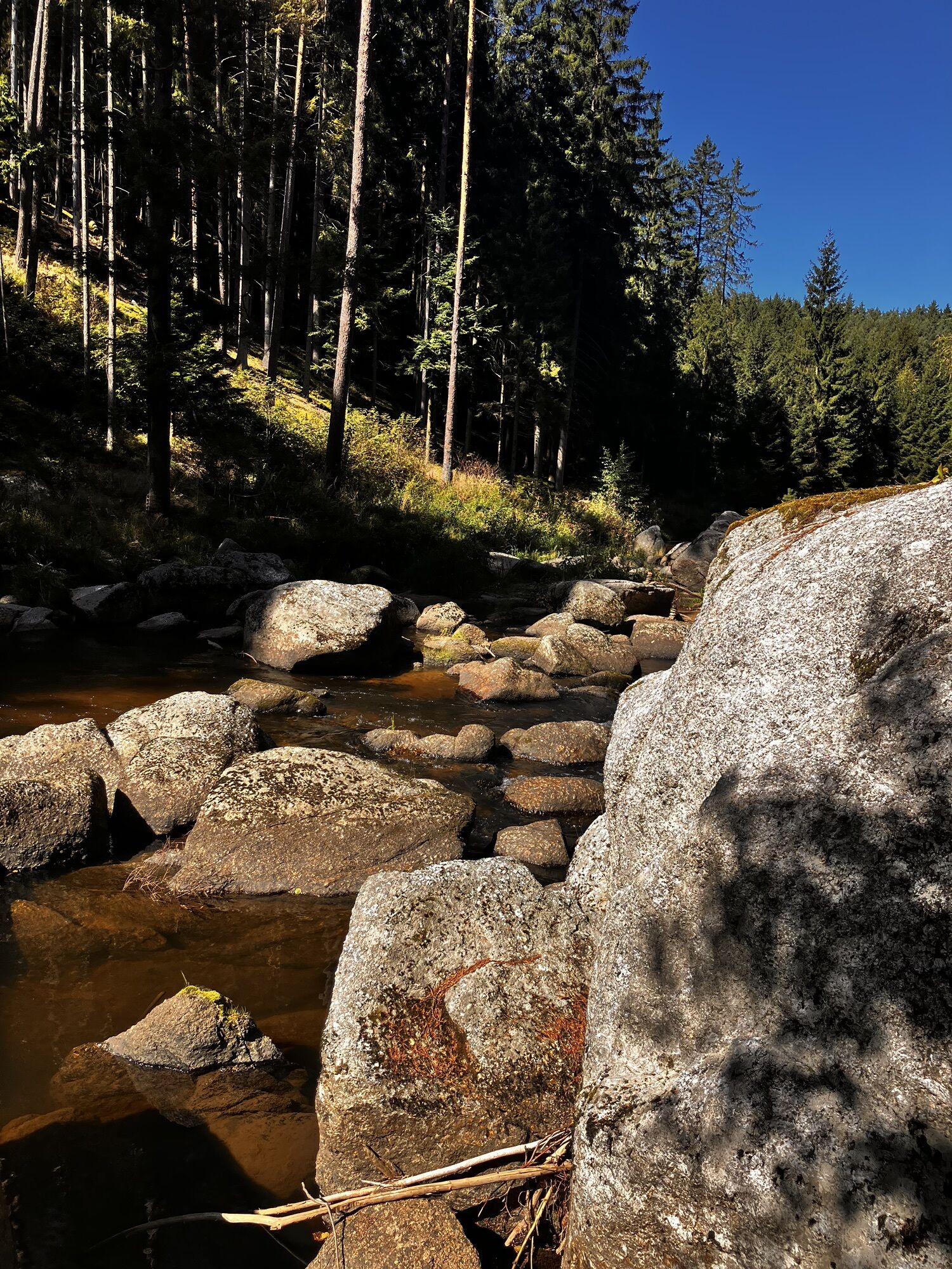
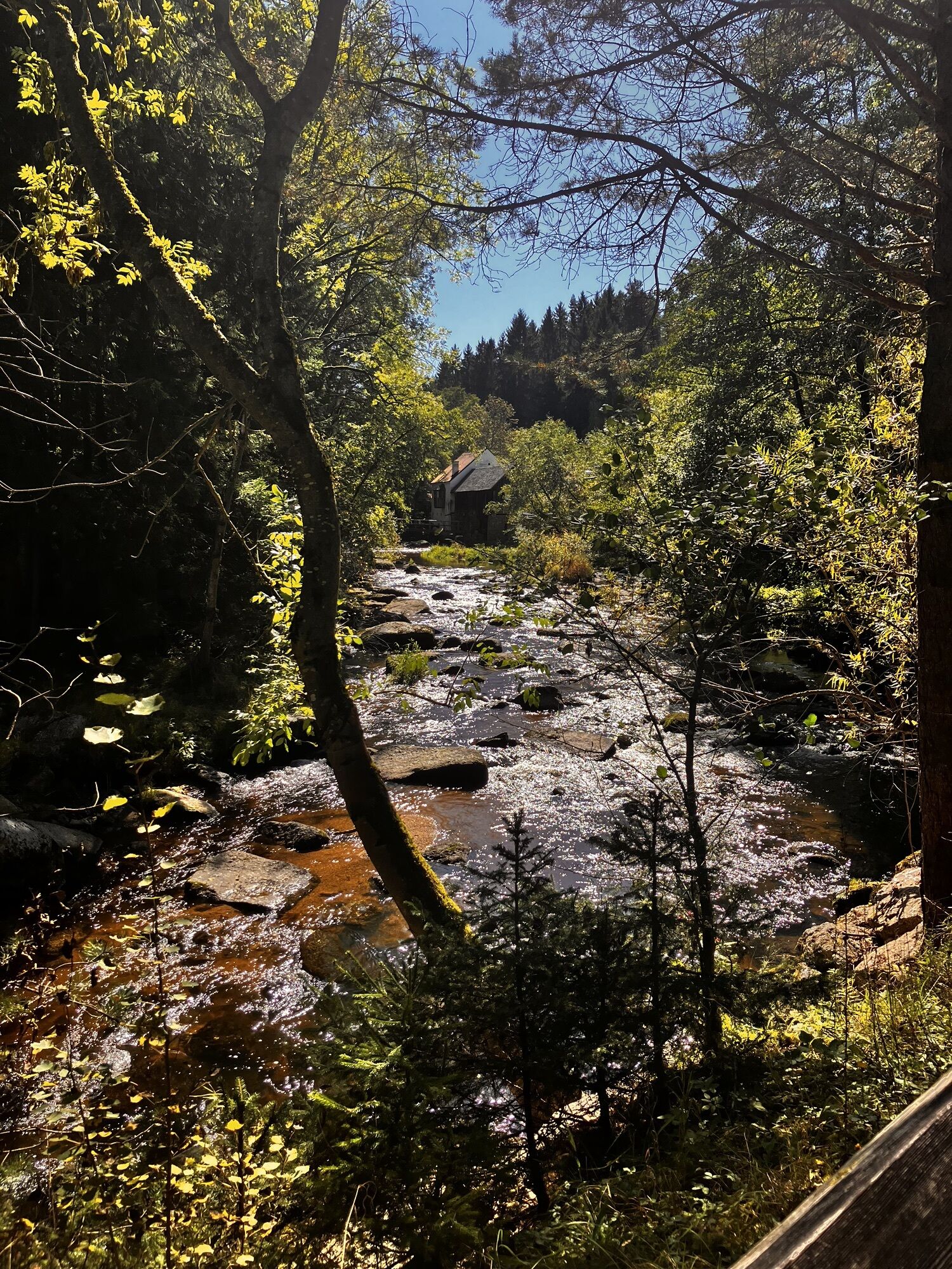
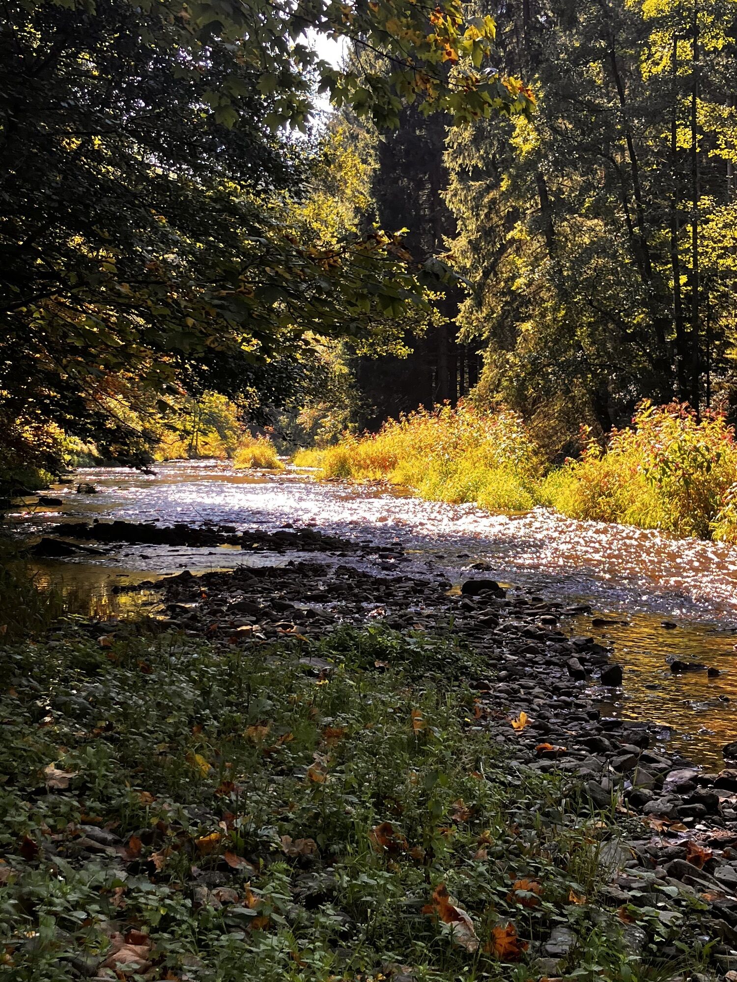
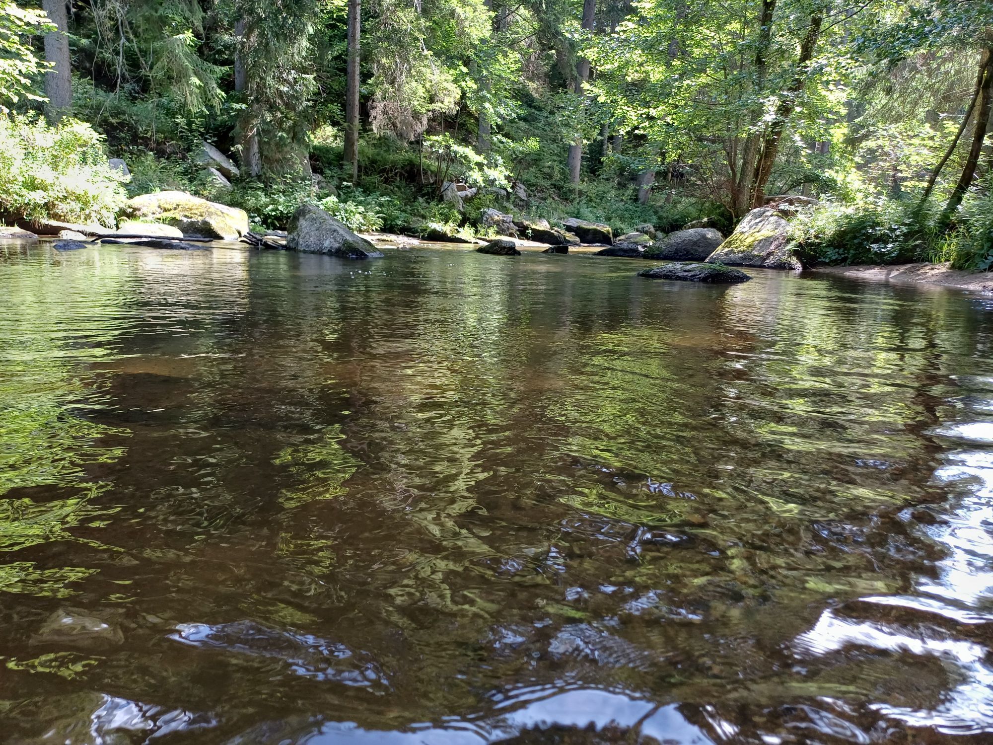
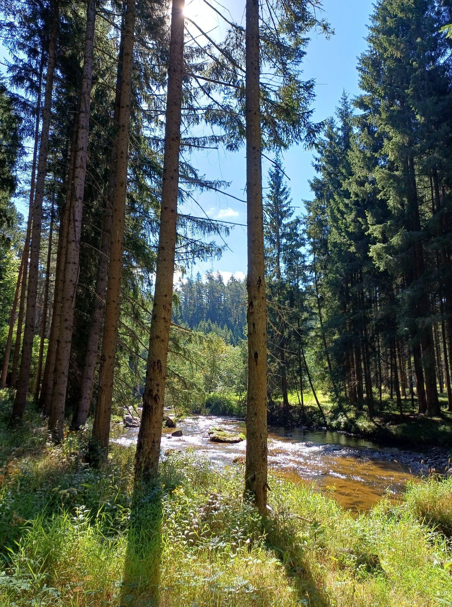
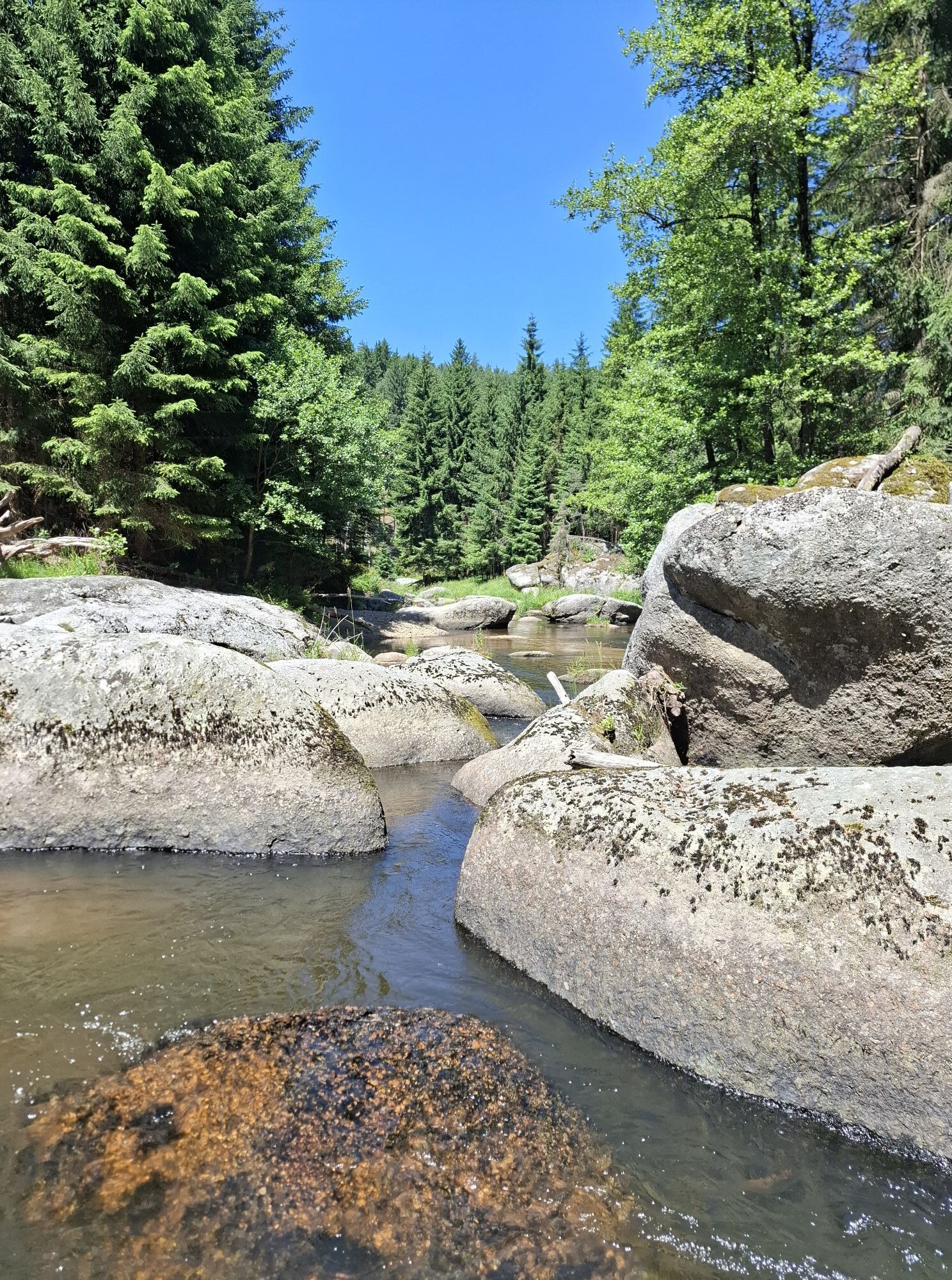

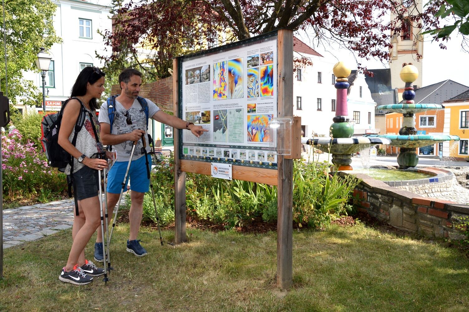
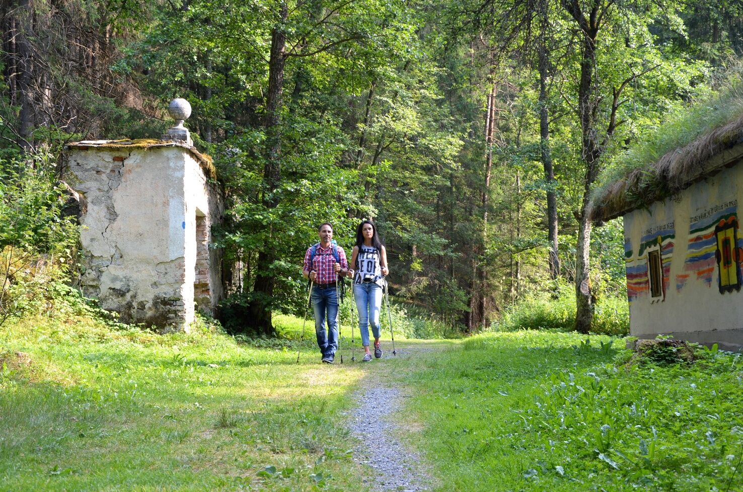
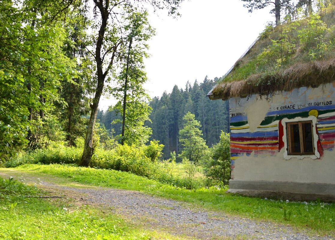
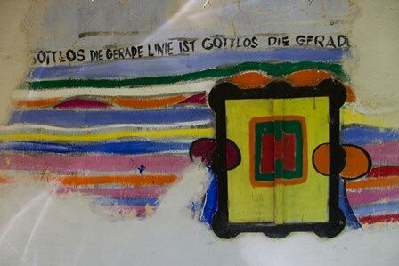

<p>Up to the Uttissenbach Mill, the route of the Hundertwasserweg is the same as the shorter variant. After the Uttissenbach Mill, you leave the Hundertwasserweg and follow the Hundertwasserweg long. The hike now leads to the most scenically attractive sections of the Kamptal. Passing the Hundertwasser Mill and to the Hundertwasser Village Museum in Roiten. You leave the Kamptal via Frankenreith and hike across the Waldviertel plateau to Großgöttfritz, Großweißenbach and to Hoher Stein, where you meet the Hundertwasserweg again. You follow these signs back to the starting point in Zwettl.</p>
<p>Sturdy footwear, functional clothing, sun and rain protection, map material, if applicable trekking poles, first aid kit (blister plasters), sufficient provisions (snack, muesli bars, fruit, water).</p>
<p>Make sure when choosing your route that it matches your fitness level. Check if the gastronomy businesses you want to visit along the way are open. Pack your charged mobile phone and map material in your backpack. For cross-border routes, always carry a passport or ID card.</p>
<p>A22 and S5 or S33 to Krems - B37 to Zwettl</p>
Zwettl-Info in the Old Town Hall
3910 Zwettl, Sparkassenplatz 4
(T) +43 2822 503-129
(I) www.zwettl.info
Municipality of Zwettl
3910 Zwettl, Gartenstraße 3
(T) +43 2822 503
(I) www.zwettl.gv.at
Village Museum Roiten, Gasthaus König
3911 Roiten 20
(T) +43 2828 85 01
WALDVIERTEL Tourism
3910 Zwettl, Sparkassenplatz 1/2/2
(T) +43 2822 54109
Infórmate
Siempre en directo con más de 9.500 webcams. bergfex Como usuario Pro, ahora puede ver las webcams correspondientes a muchos tours en la app de tours desde. Esto le permite ver las condiciones actuales directamente.
Rutas populares en los alrededores
-
4,3
Stauseerunde
medioSenderismo 9,56 km -
4,2
Stausee Ottenstein
luzSenderismo 5,13 km -
4,3
Teddybärentrail Lohnbachfall
luzSendero temático 4,41 km -
4,3
TiWaLi Kamptal-Weißenbach-Runde
luzSenderismo 10,6 km -
4,9
Ottenstein Stausee - Uferwanderung
luzSenderismo 8,52 km -
4,8
Höllfall und Lohnbachfall
Senderismo 13,8 km -
4,5
Kampseerunde
Senderismo 13,7 km -
4,3
80 Natur - Energie - Kraft
Senderismo 10,8 km -
4,9
Recorrido por los estanques de Ottenschlag, sendero "Tut gut"
medioSendero temático 10,0 km -
4,4
Mohnstrudelweg O'zwickte, Nr. 13
medioSenderismo 9,30 km
Senderismo y rastreo


No se pierda las ofertas y la inspiración para sus próximas vacaciones
Su dirección de correo electrónico se ha añadido a la lista de correo.





