


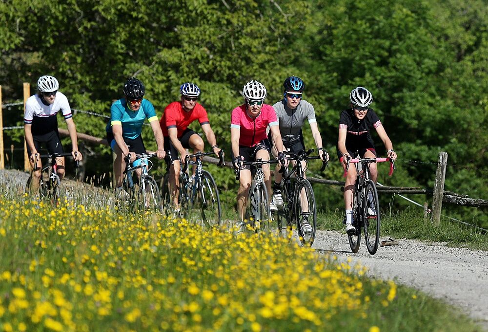
Mariazell round via Hubertussee – the king stage
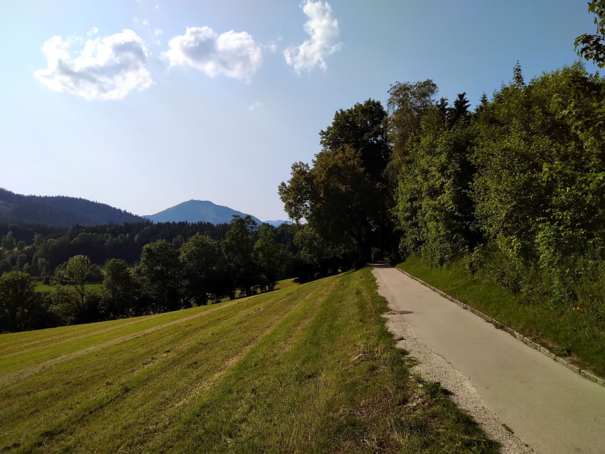

The route starts through the small Ybbstal valley and the Zogels- and Wiesergraben until shortly before Gaming and continues out of the valley towards Scheibbs. In Neubruck turn right towards Mariazell....
The route starts through the small Ybbstal valley and the Zogels- and Wiesergraben until shortly before Gaming and continues out of the valley towards Scheibbs. In Neubruck turn right towards Mariazell. Shortly after St. Anton/Jeßnitz, the very long climb begins (20km, initially steeper, later only slightly ascending) to Wastl am Wald.
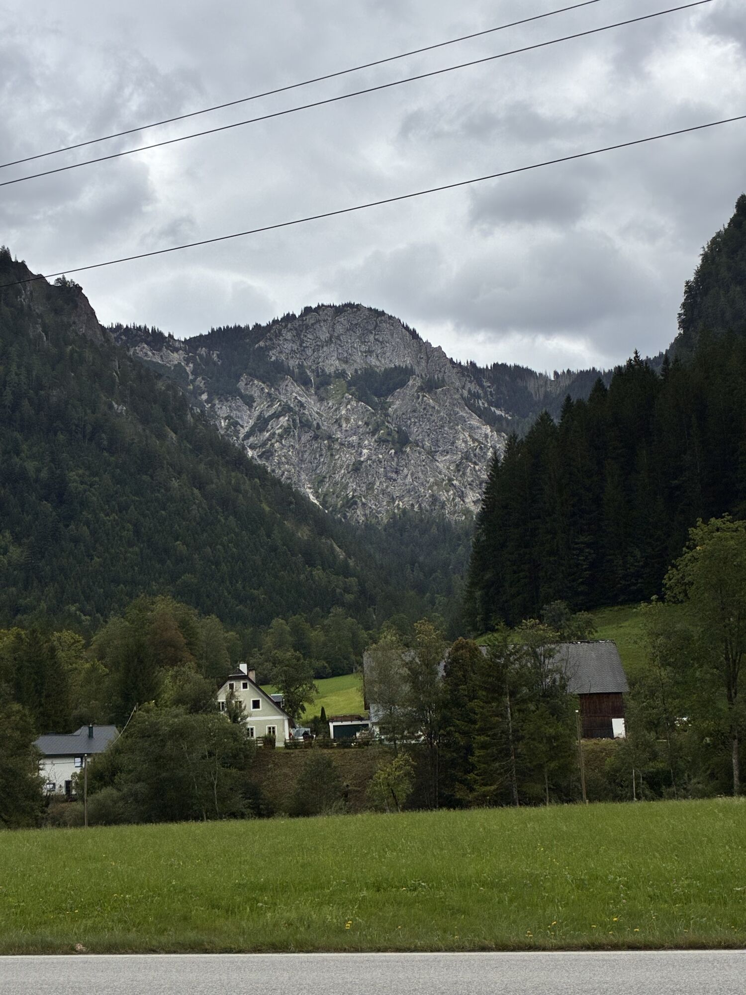
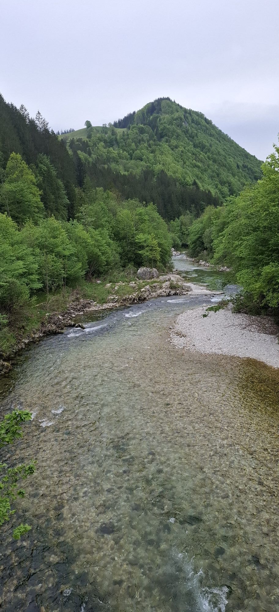
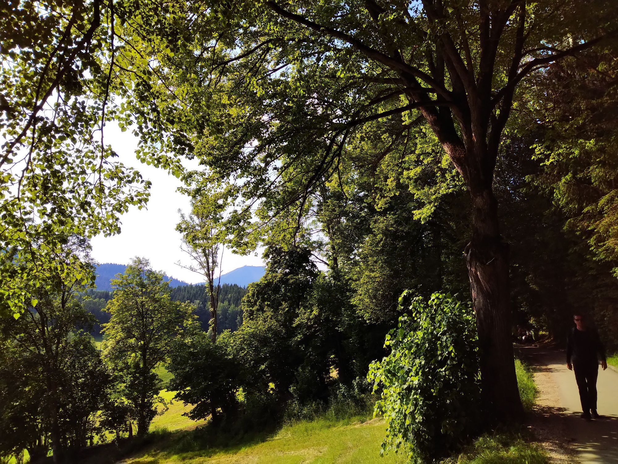
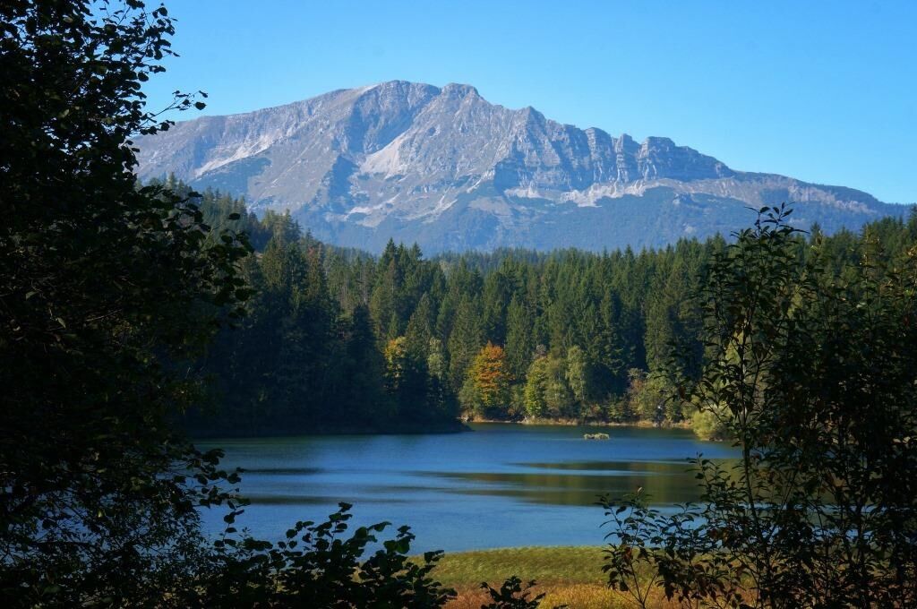
The subsequent descent offers some great views of the "wild side" of the Ötscher.
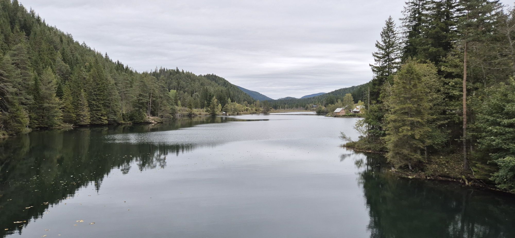
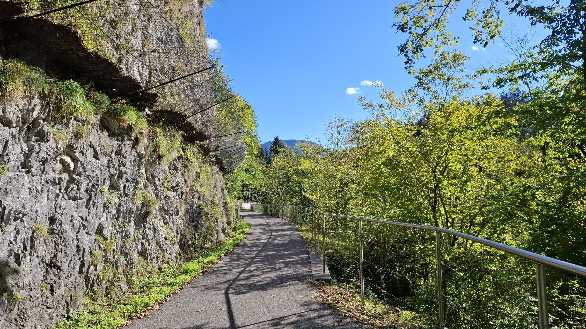
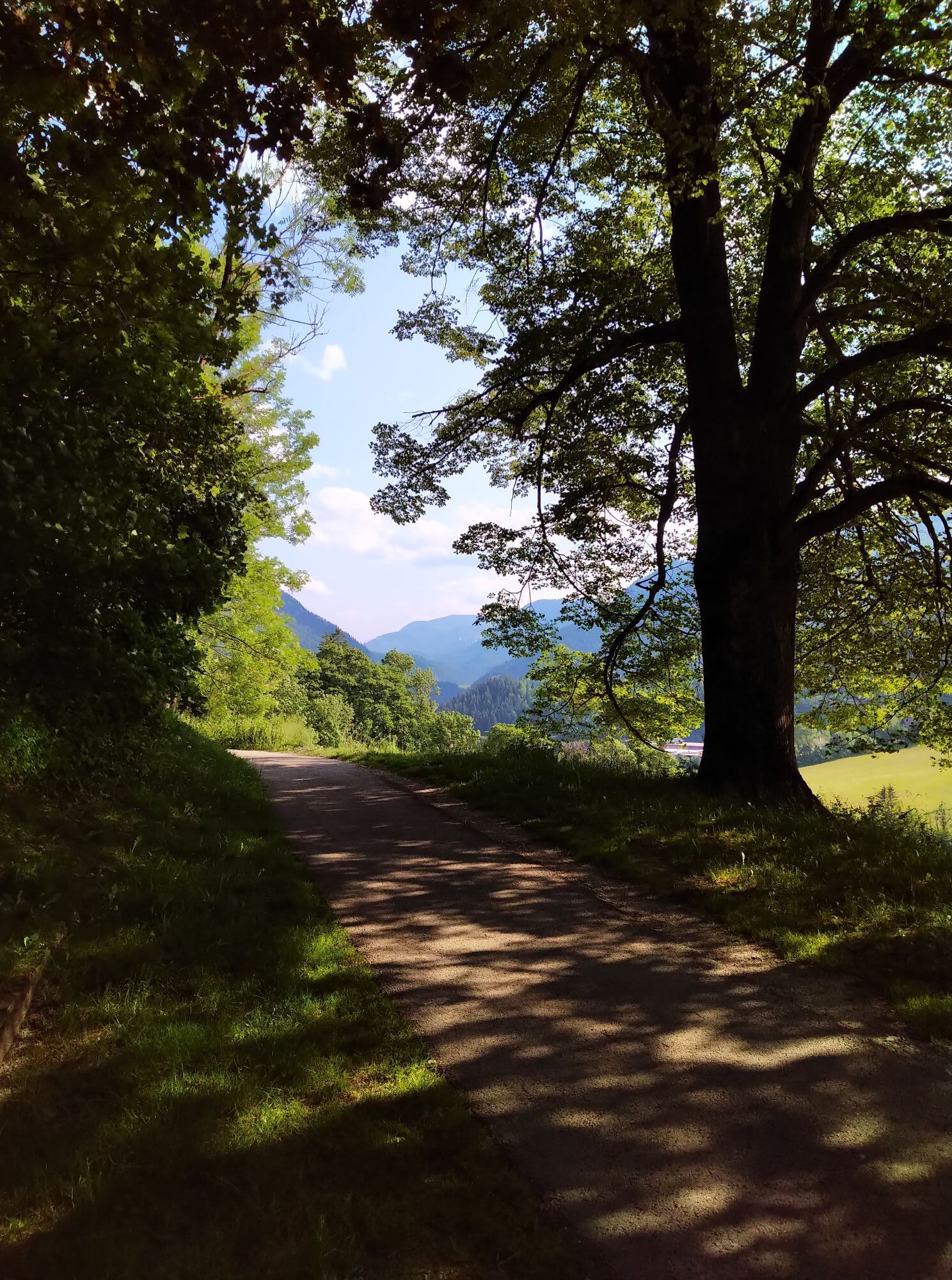
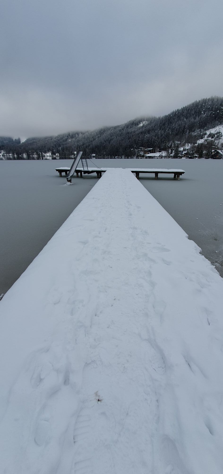
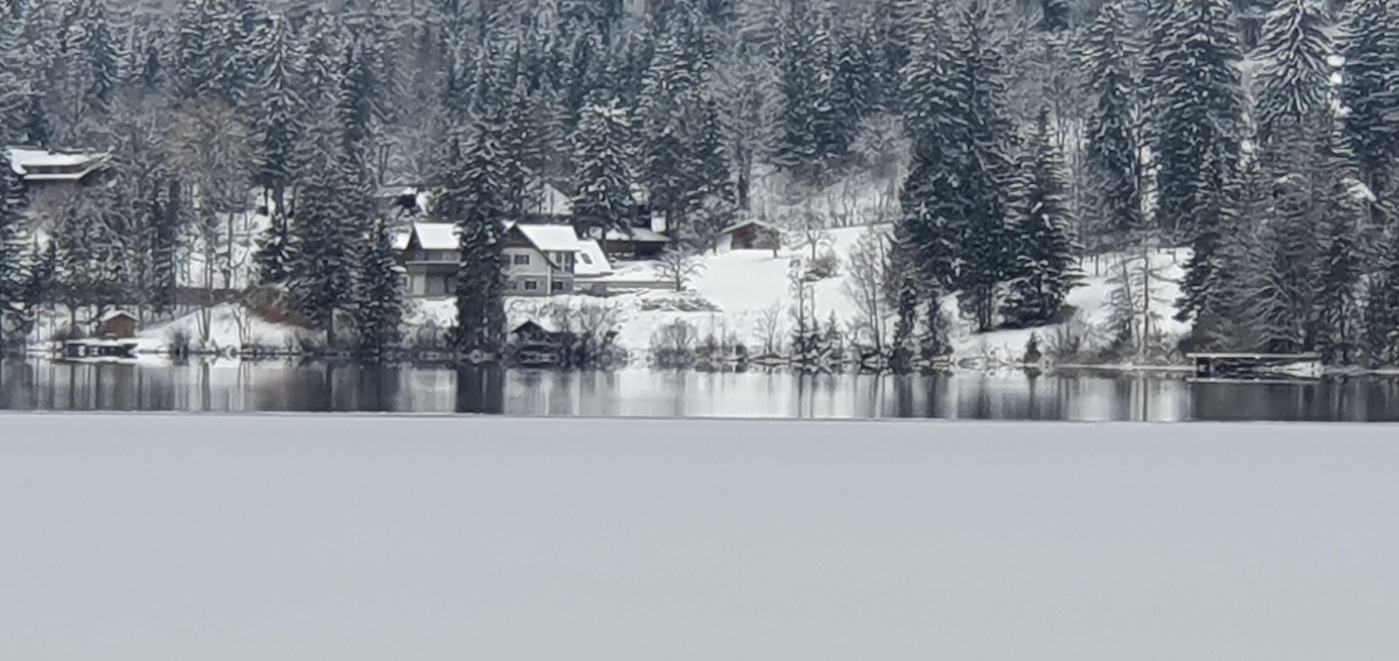
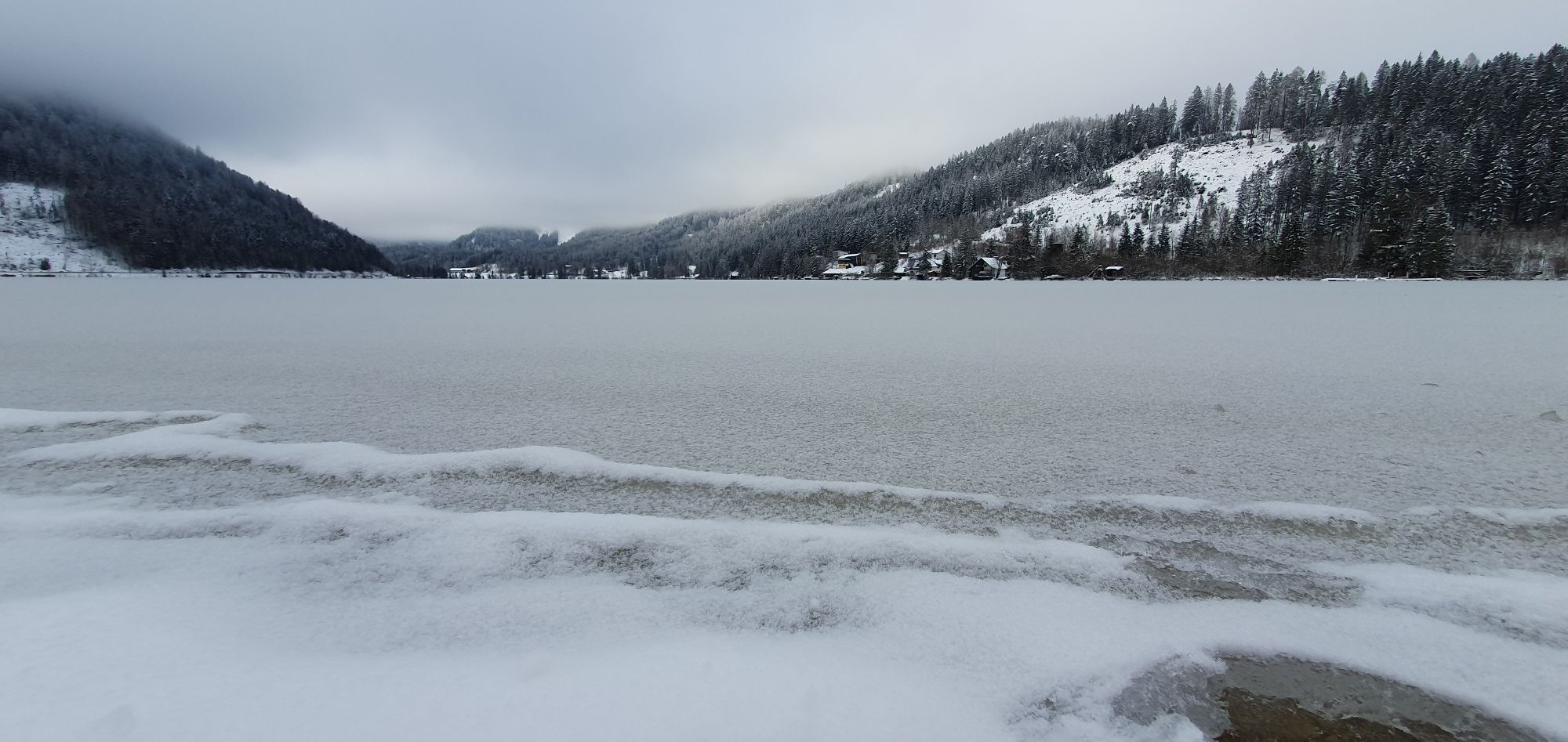
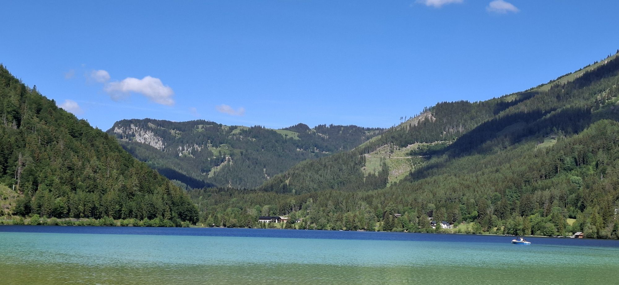
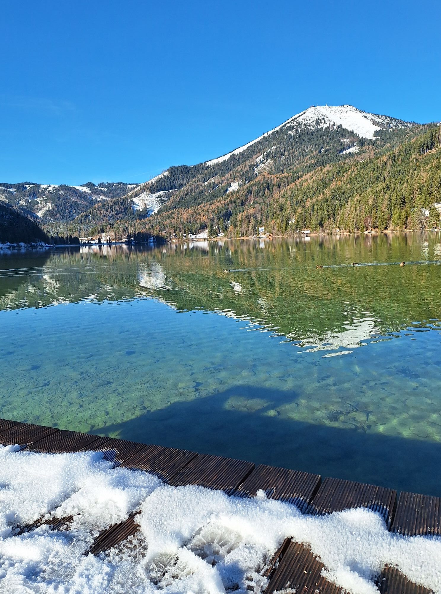
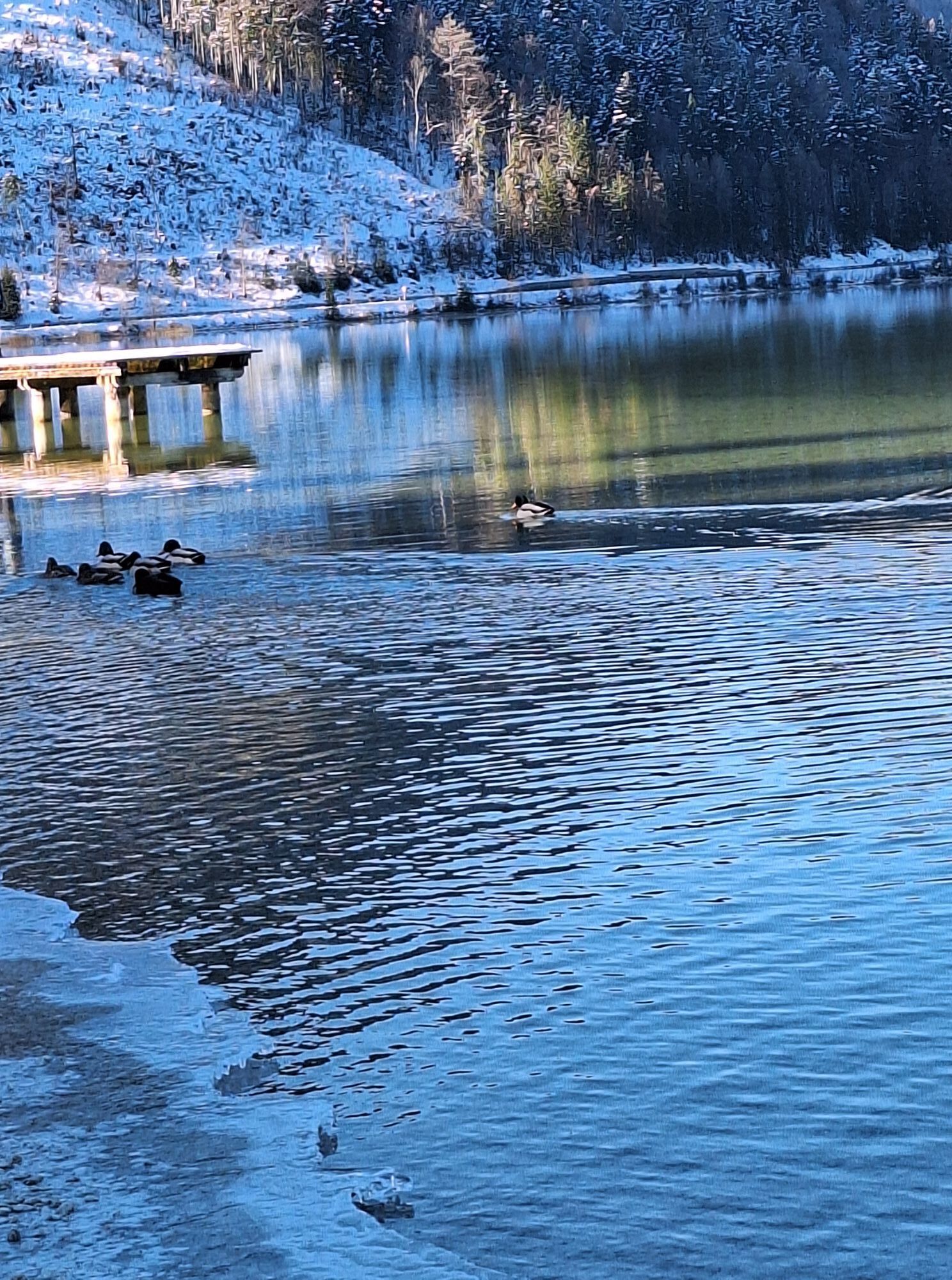
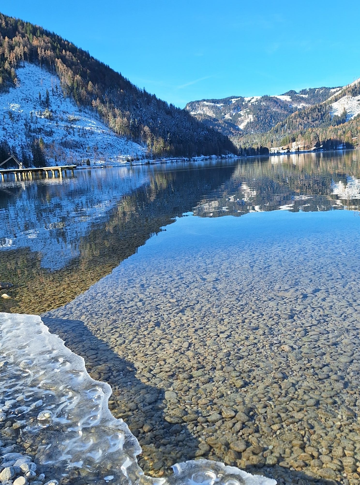
At the bottom, turn left towards Annaberg and a little later take a sharp right towards Ulreichsberg. Continue towards Walstern and "Hubertussee", where the road surface is unfortunately a little rough - but the idyllically situated lake makes up for this.
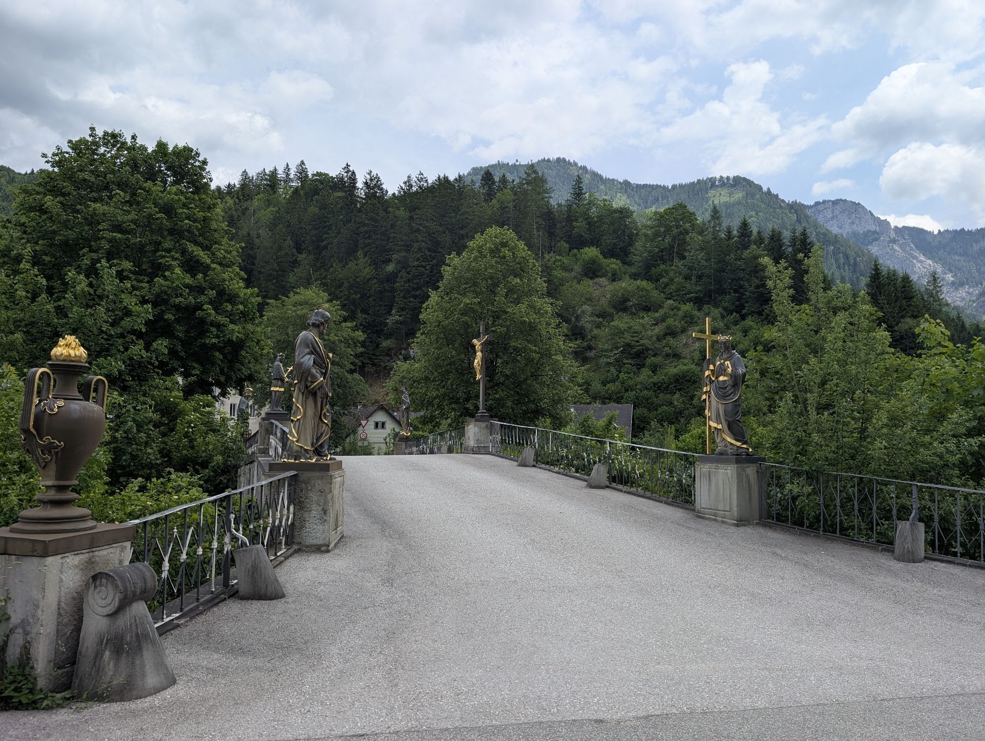
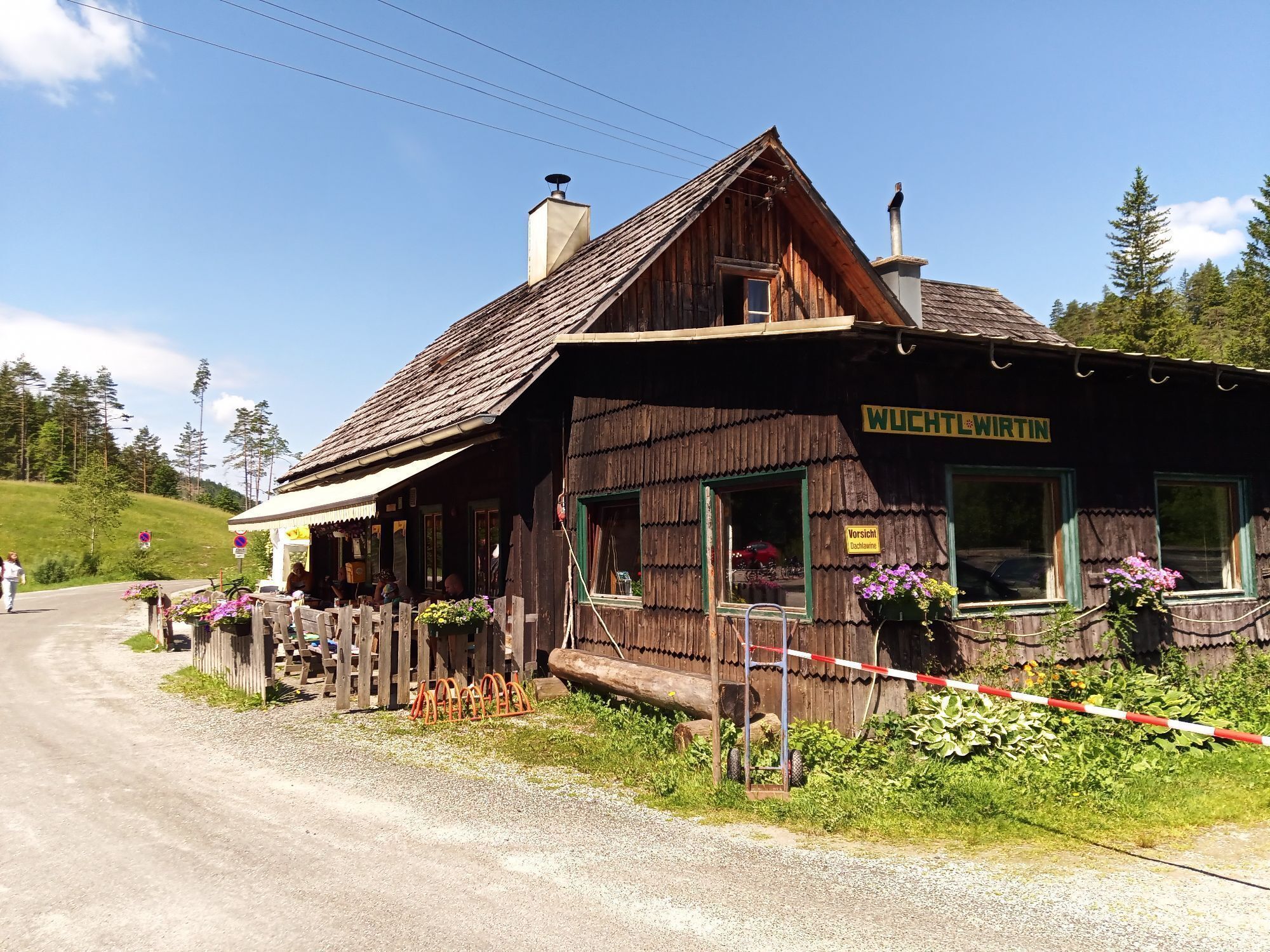
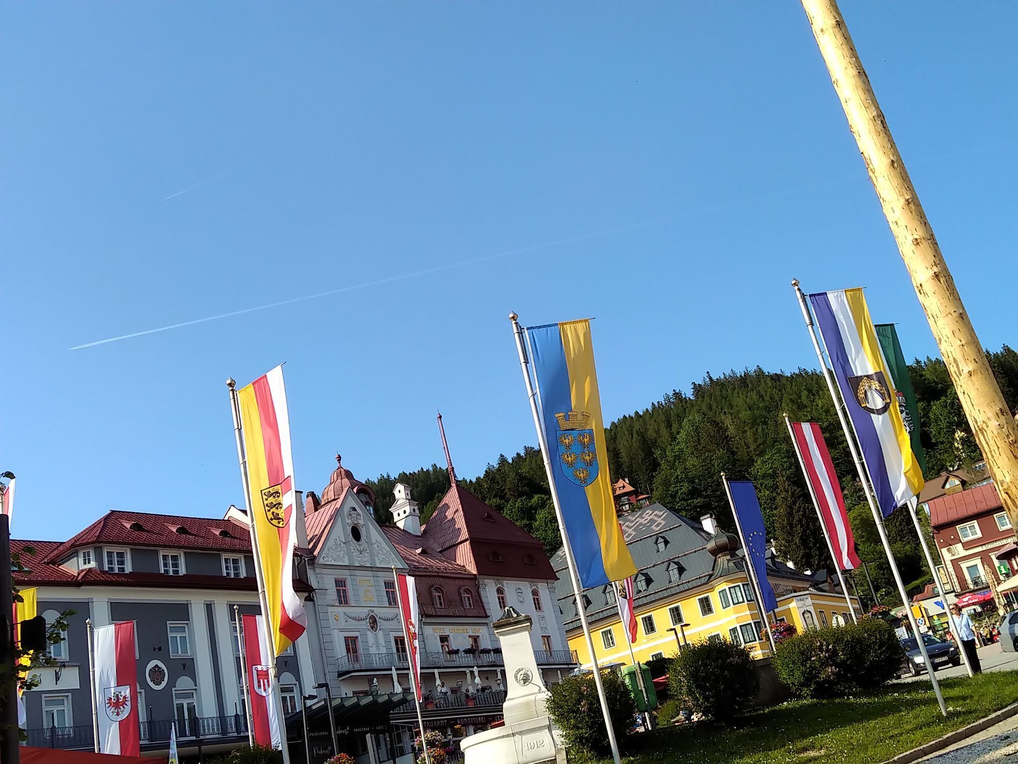
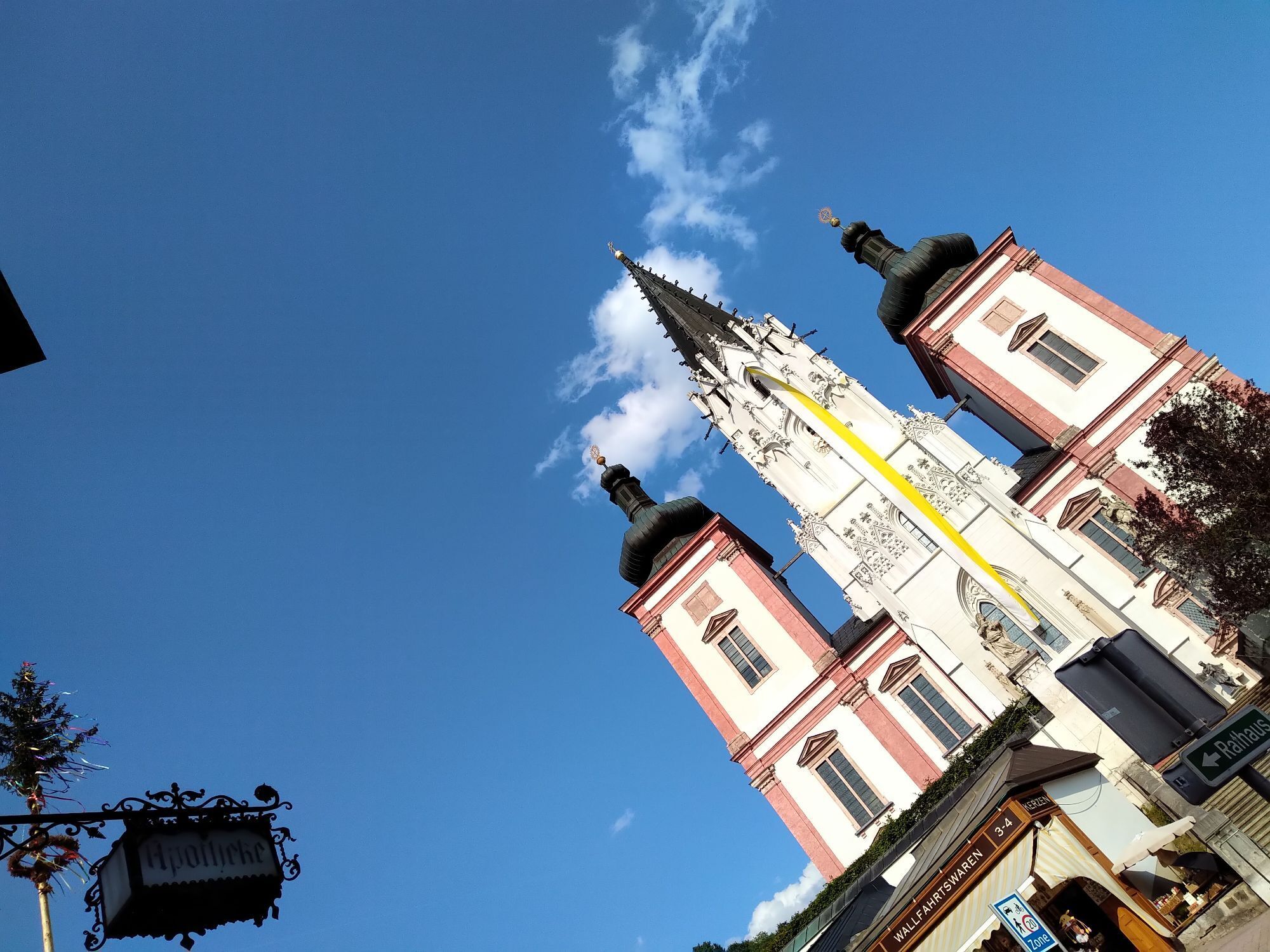
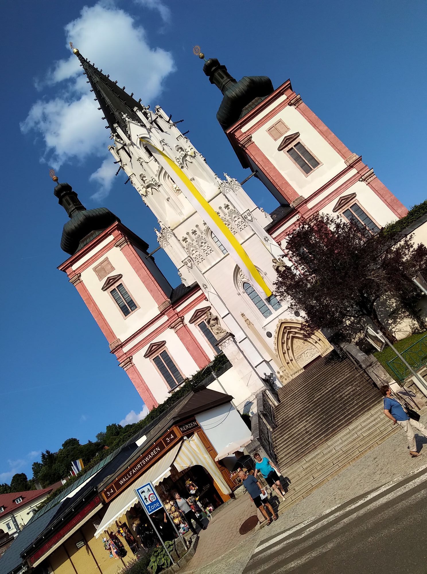
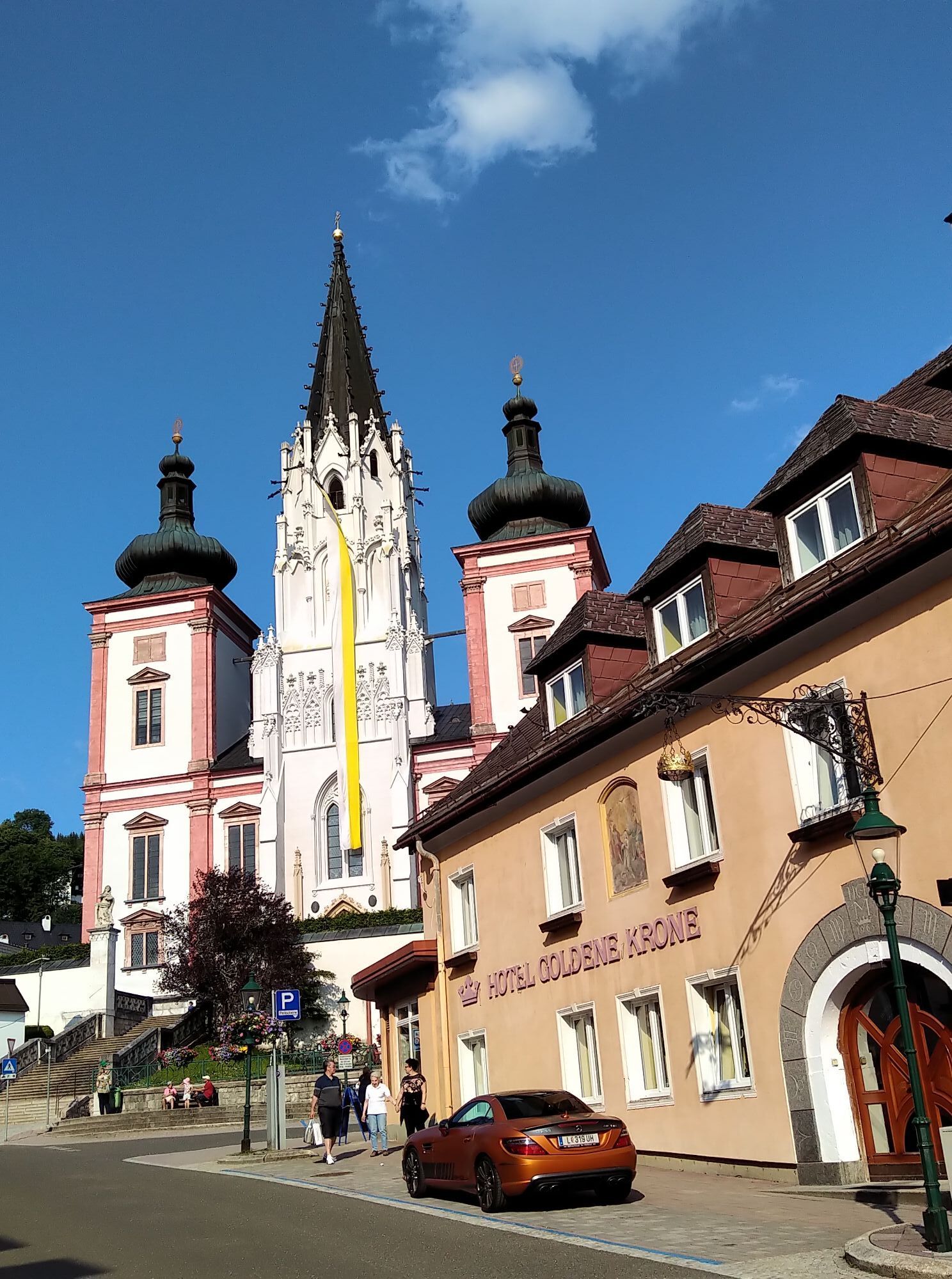
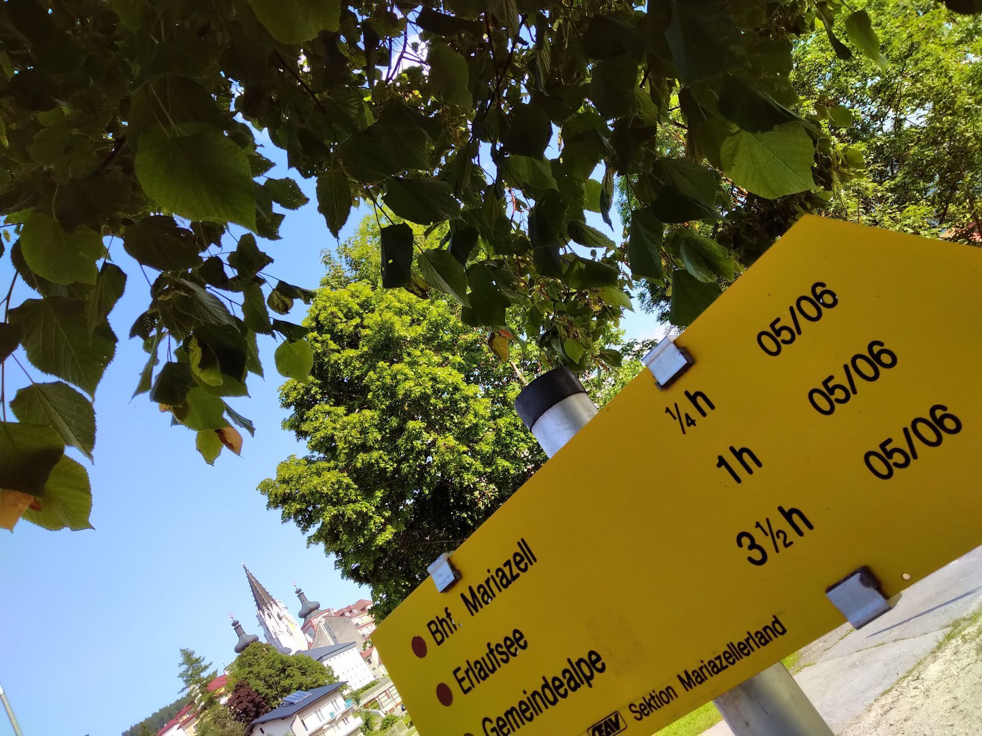
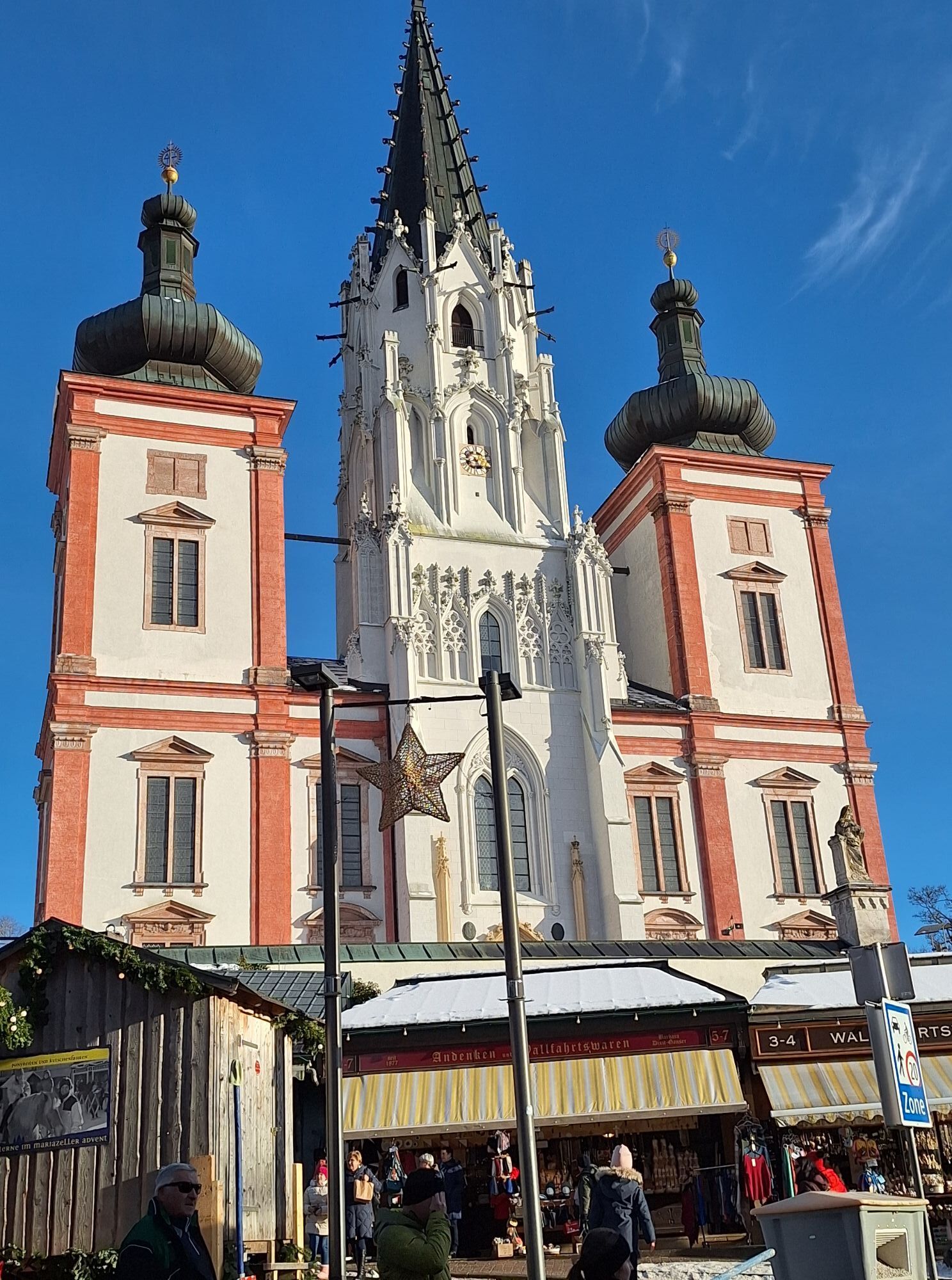
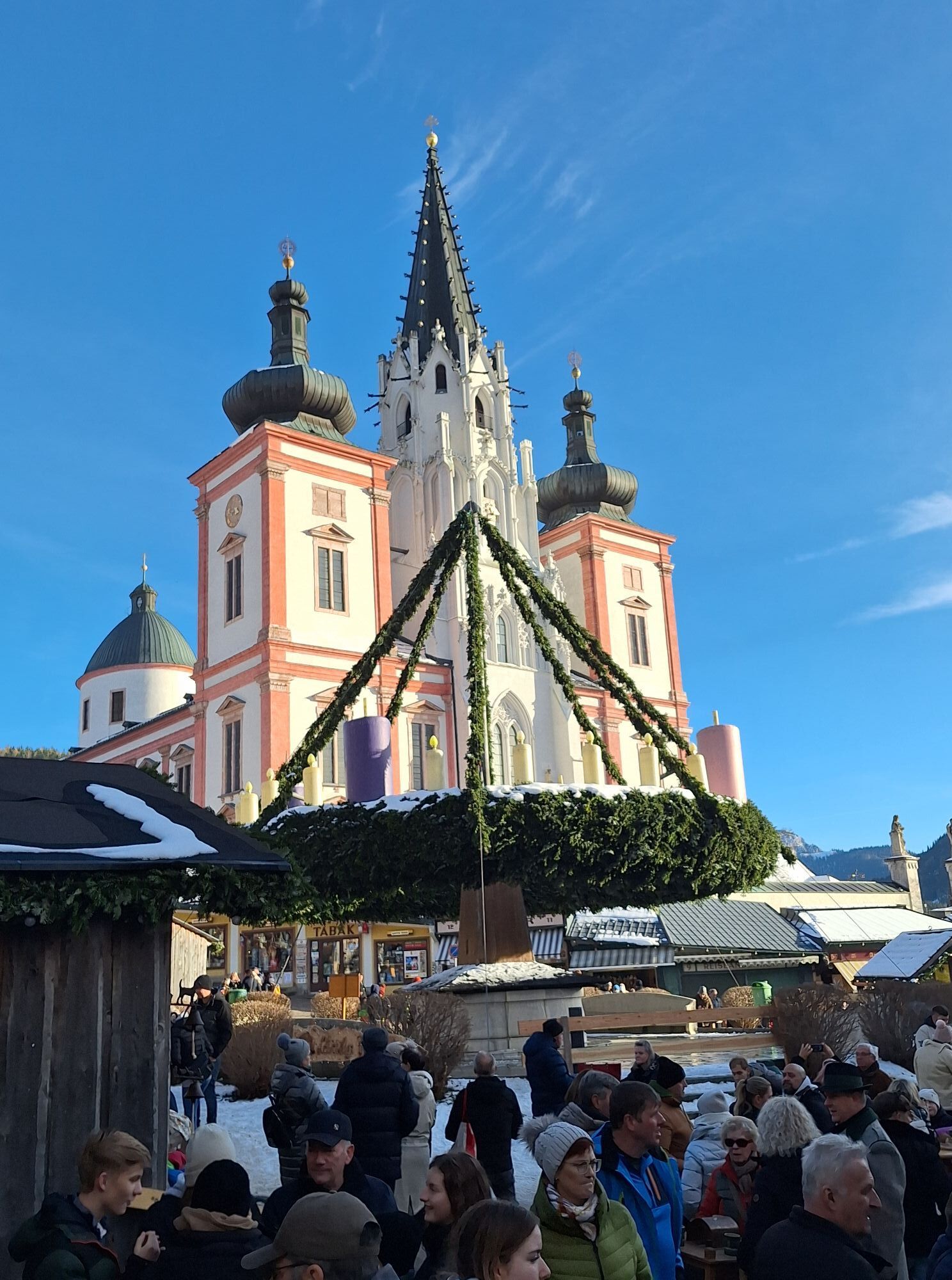
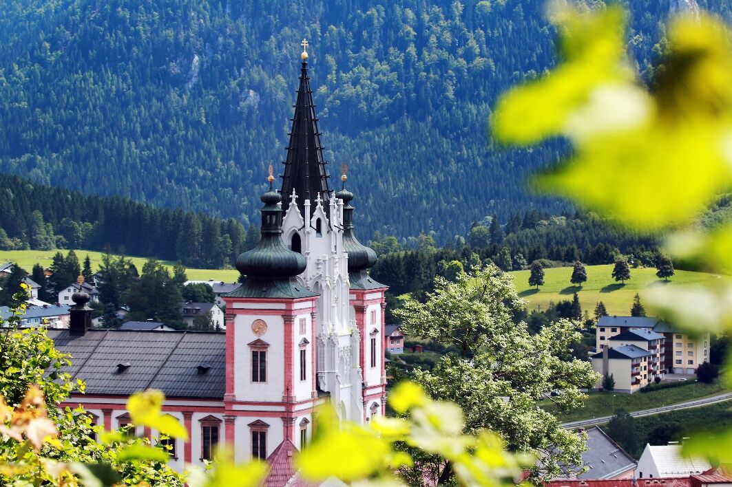
A small climb on the B21 takes us to the famous Mariazell, where we turn left to the Erlaufsee and ride up to the Zellerrain - a moderately difficult 4km climb.
This is followed by an extended, quite speedy descent into the valley before you follow the course of the Ybbs permanently. Another 2.5 km uphill to the "Große Kripp" and back to Waidhofen.

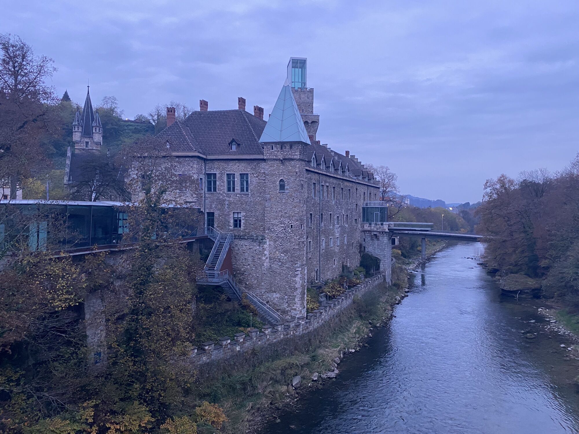
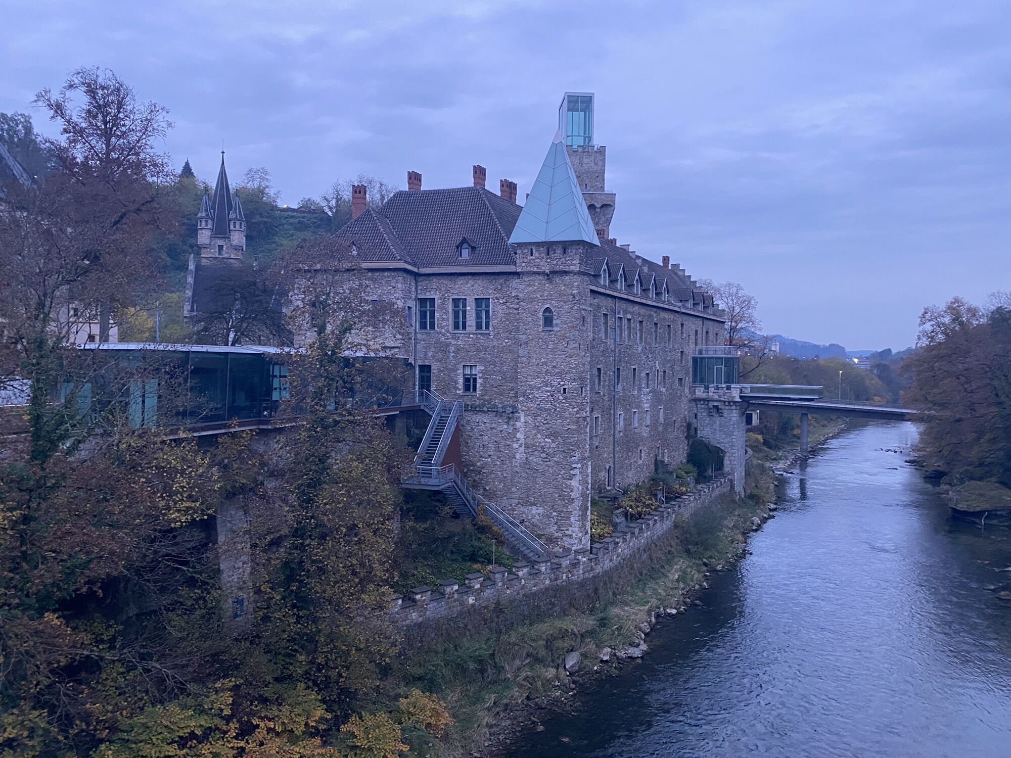
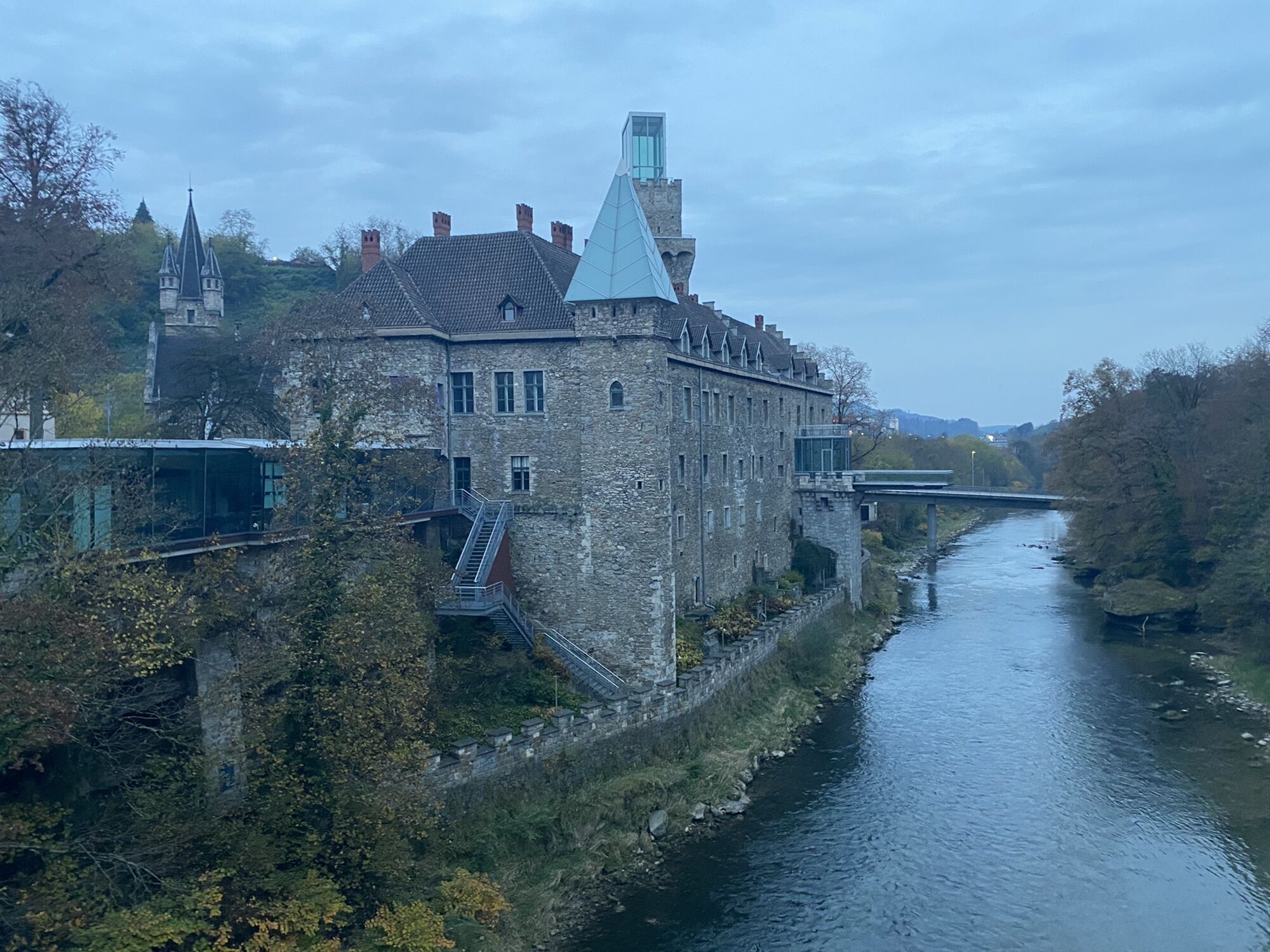
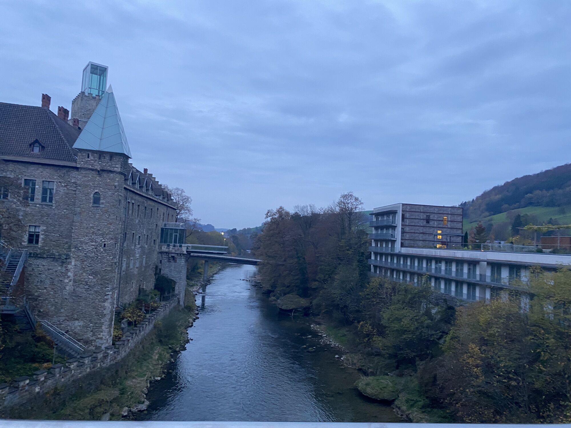
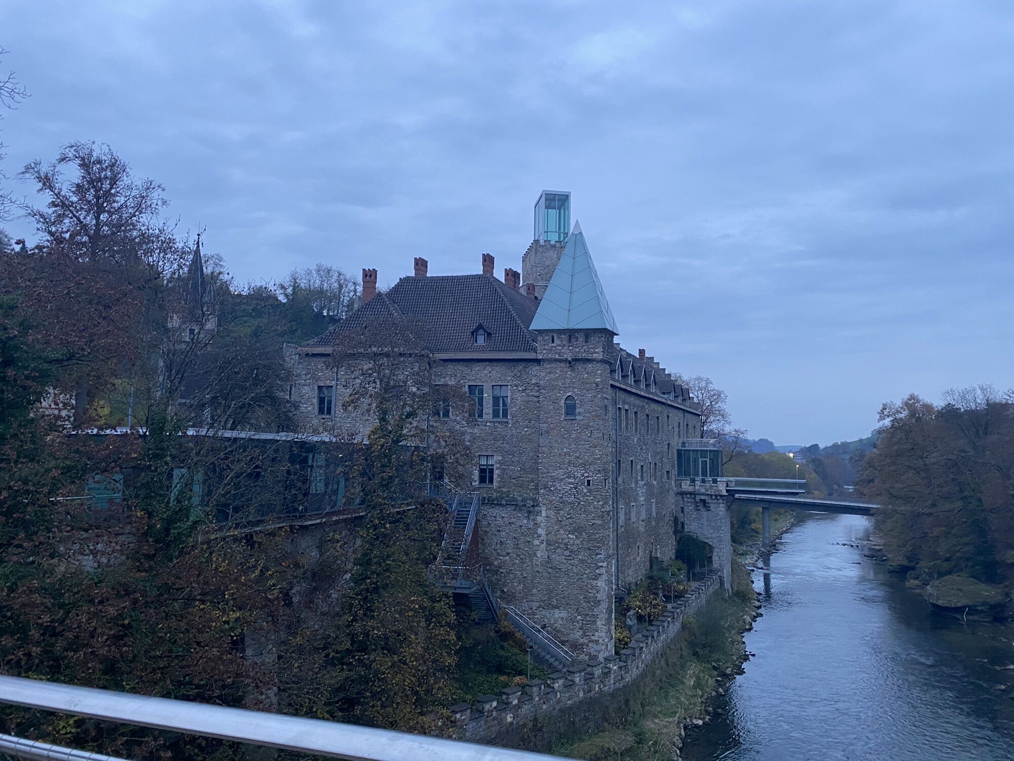
Waidhofen an der Ybbs - Exit through the district Zell - Schmiedestraße - Schwellöd Bridge - left onto the B32 direction Ybbsitz - Ybbsitz - continue on the B32 - about 3 km after Ybbsitz turn right onto the L6186 towards Maria Seesal - shortly before Maria Seesal turn left over the bridge and follow the L6186 - Zogelsgraben - Oberamt - junction to L92 - turn right onto the L92 - Brettl - junction to B25 - turn left onto the B25 - Neubruck - turn right onto the B28 - St. Anton an der Jessnitz - Puchenstuben - Wastl/Wald - after the descent turn left onto the B20 - follow the road for about 3 km, then turn right towards Annarotte and Ulreichsberg - Ulreichsberg - turn right towards Walstern and Hubertussee - B21 turn right towards Mariazell - Mariazell - St. Sebastian - Erlaufseestraße - Erlaufsee - turn right onto the B71 - Zellerain - Taschelbach - Neuhaus - Langau - after 4 km turn half-left towards Lunz - Lunz - B25 - Göstling - turn right onto the B31 - St. Georgen/Reith - L98 - Opponitz - B31 - Gstadt - Waidhofen an der Ybbs
Road bike (translation of e.g. 34/27 is recommended)
partly poor surface with holes in the section near Hubertussee!
Beware of sometimes disoriented pilgrims in Mariazell or cars parking in/out at the Erlaufsee.
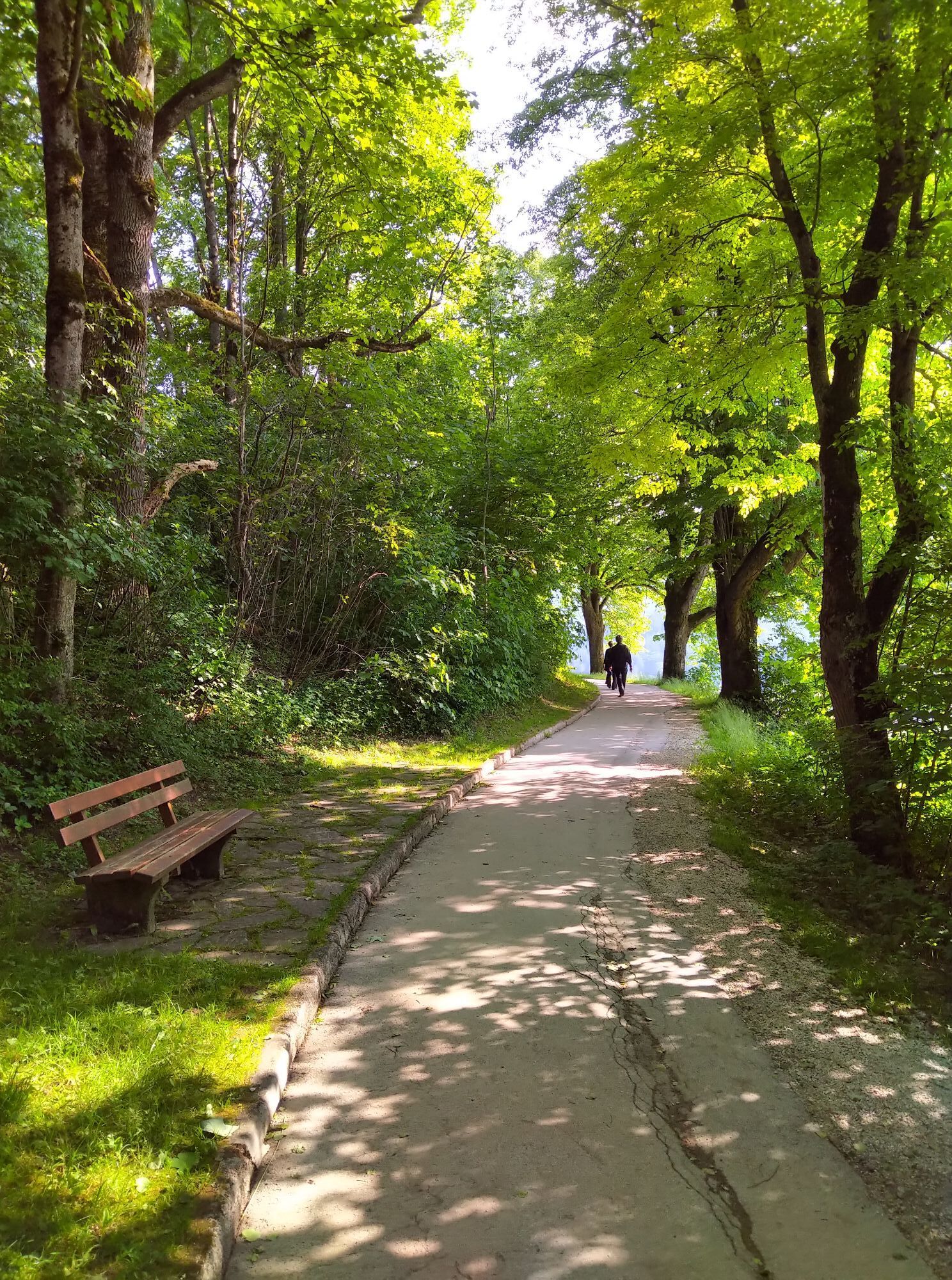
As an alternative to the main road, it is recommended to use the Ybbstal cycle path throughout the Ybbstal => but caution: please be considerate of slower riders, families, and excursion groups.
Coming from the A1 motorway: exit Amstetten West, B121 to Waidhofen an der Ybbs
Arrival with the ÖBB (Rudolfsbahn) from/via Amstetten.
You can take your bike on most local and long-distance trains. In Austria you need a special bike ticket for this; you can also purchase weekly or monthly passes for your bike. For international routes, ÖBB offers the Biking International Ticket.
There are several Park & Ride options: http://waidhofen.at/parkplaetze
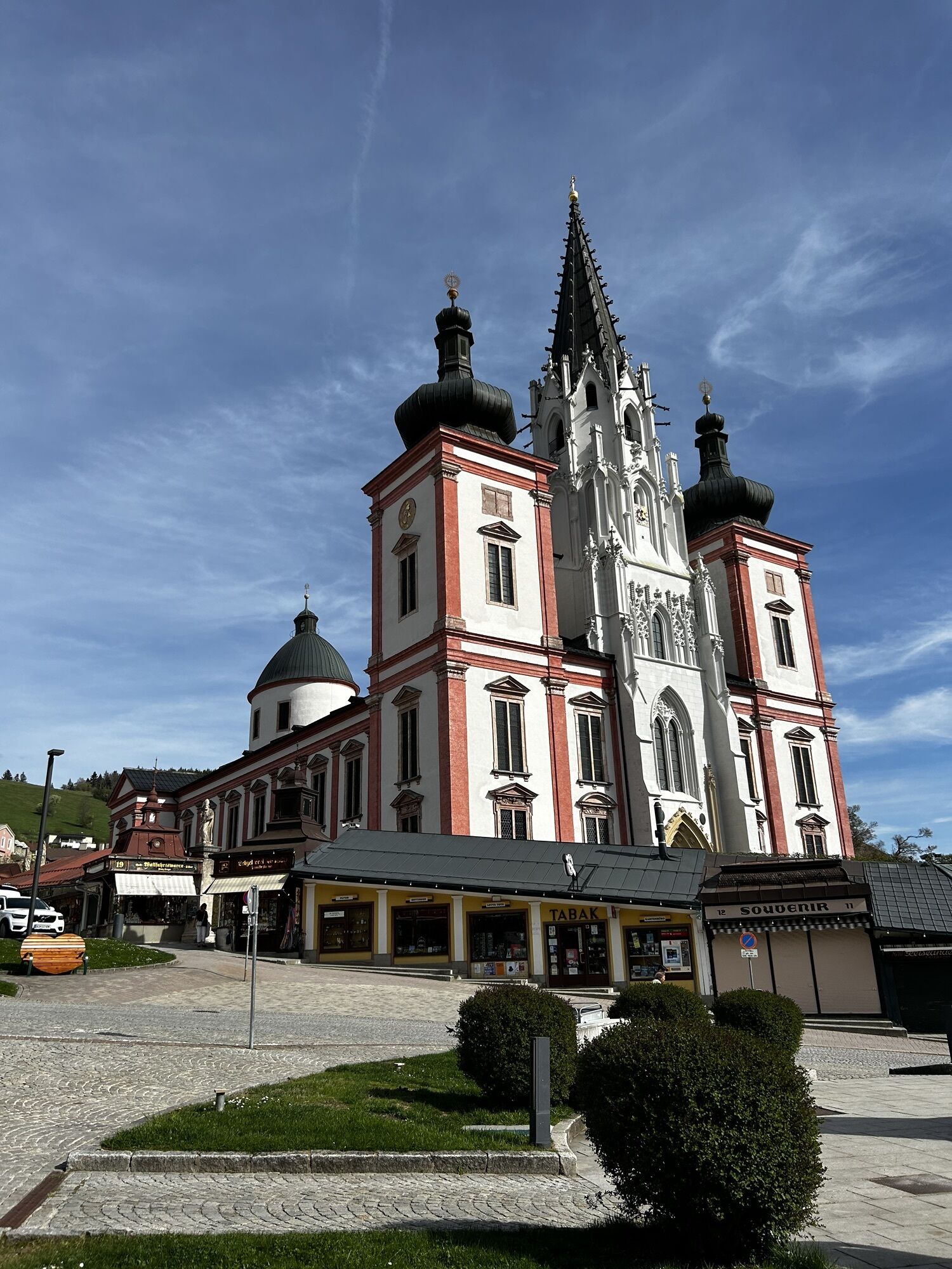
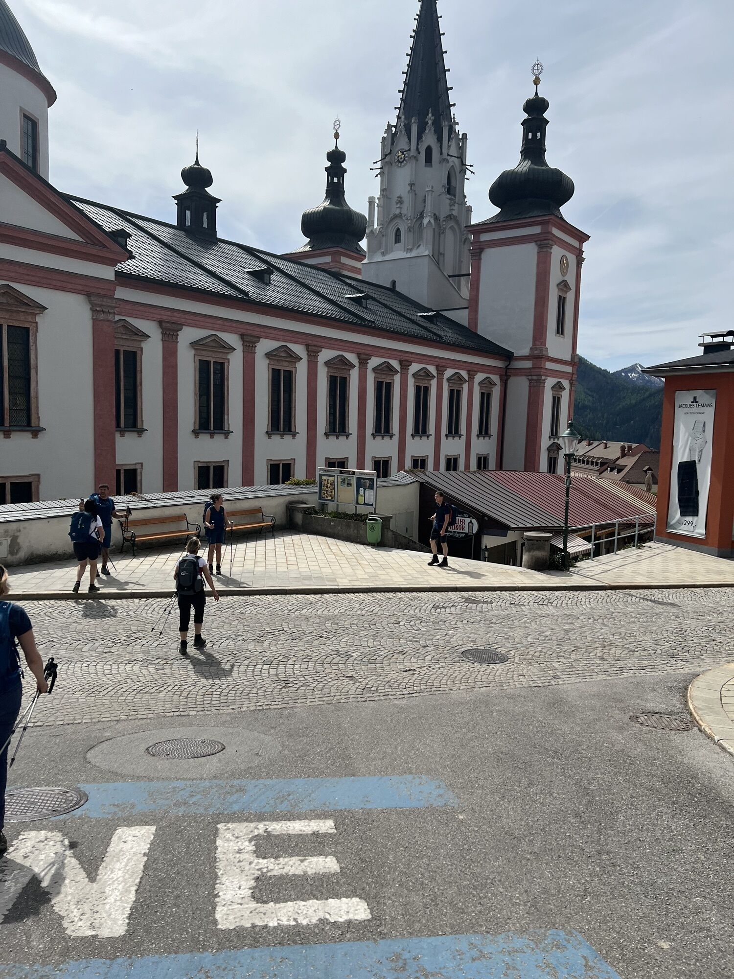
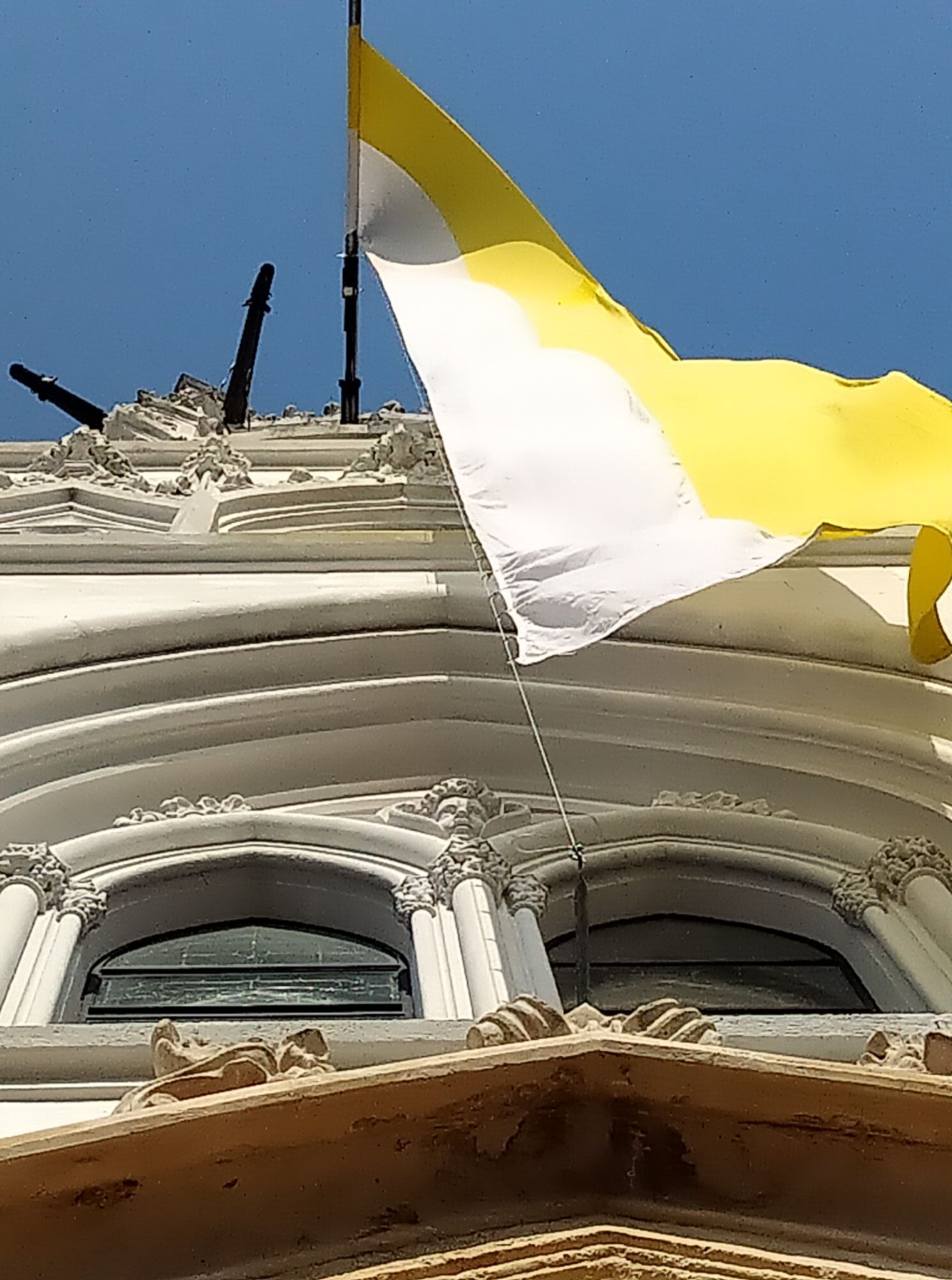
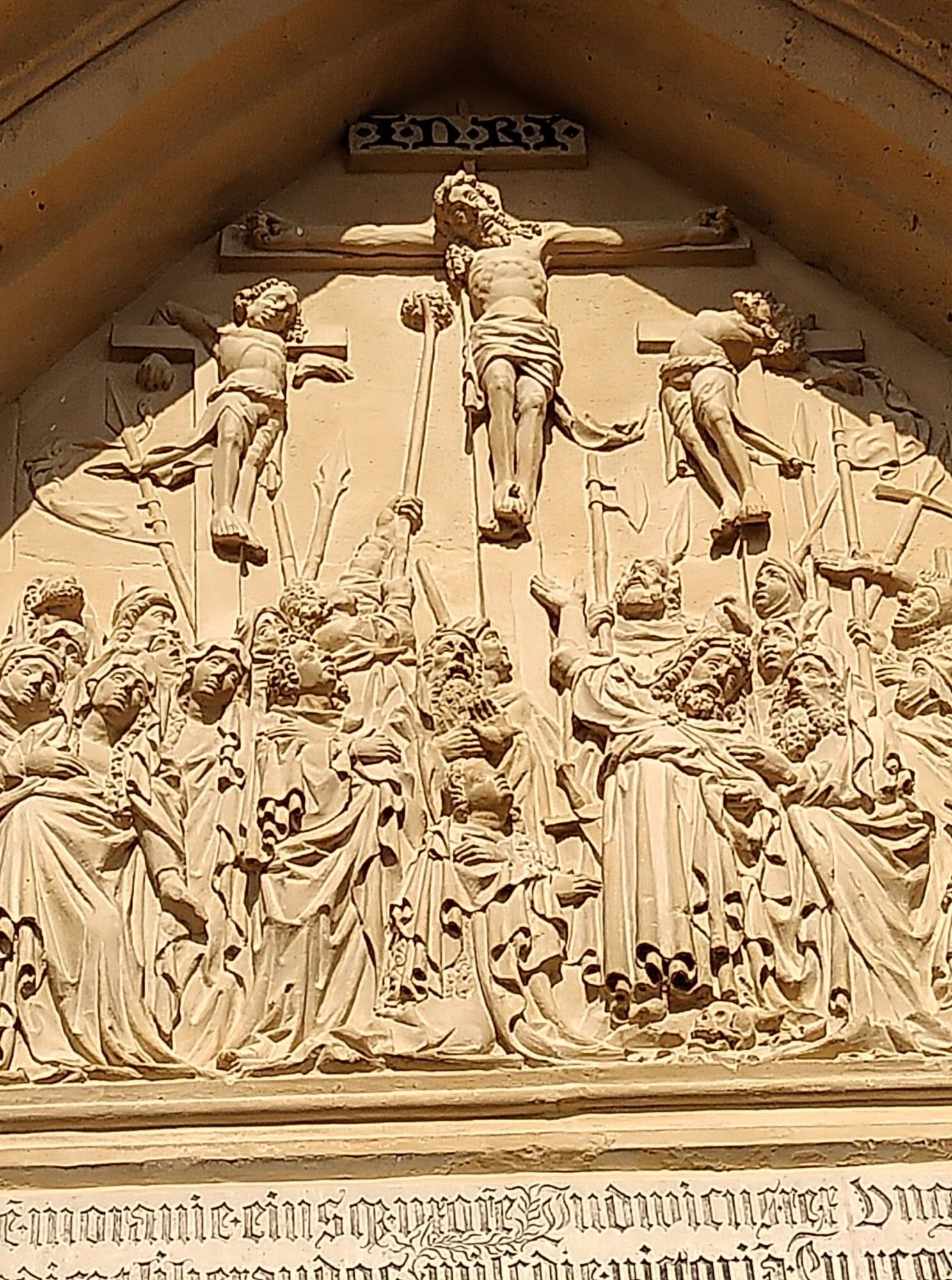
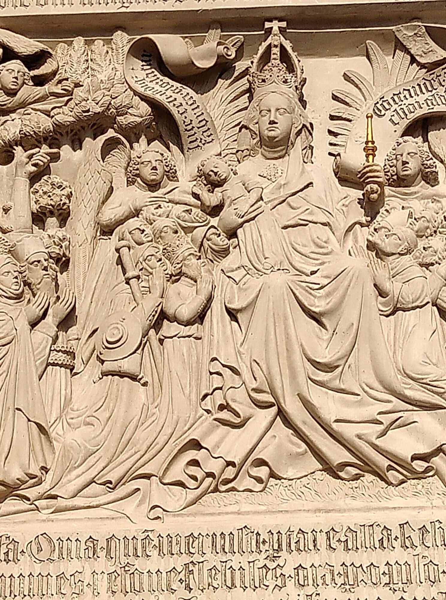
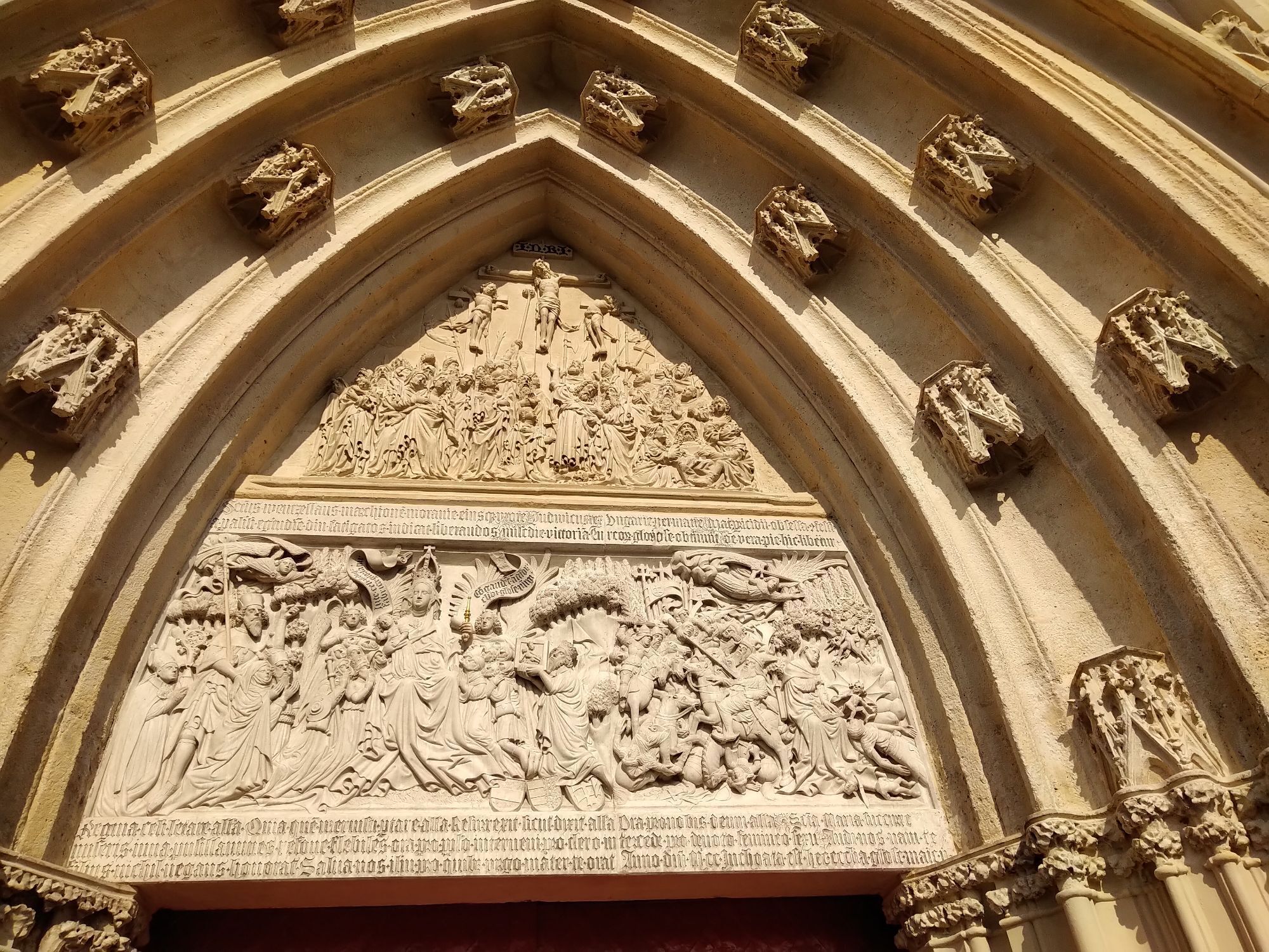
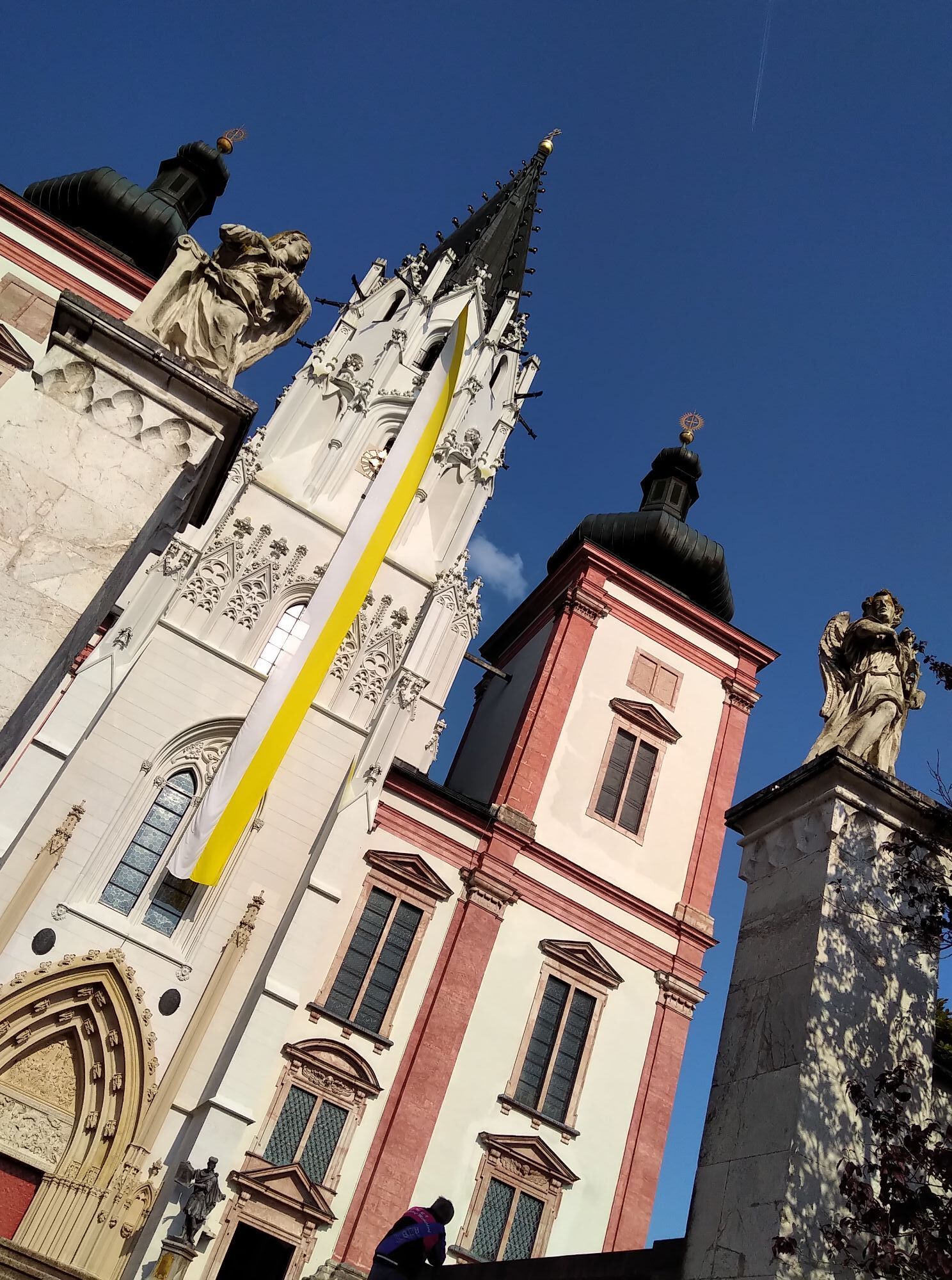
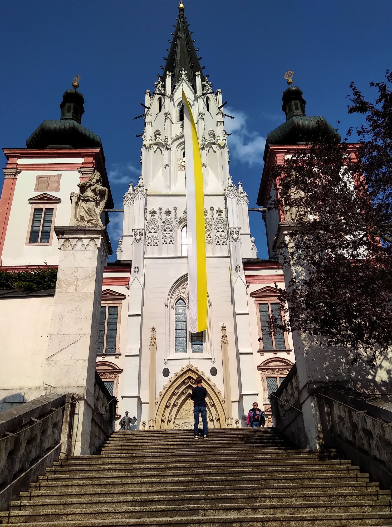
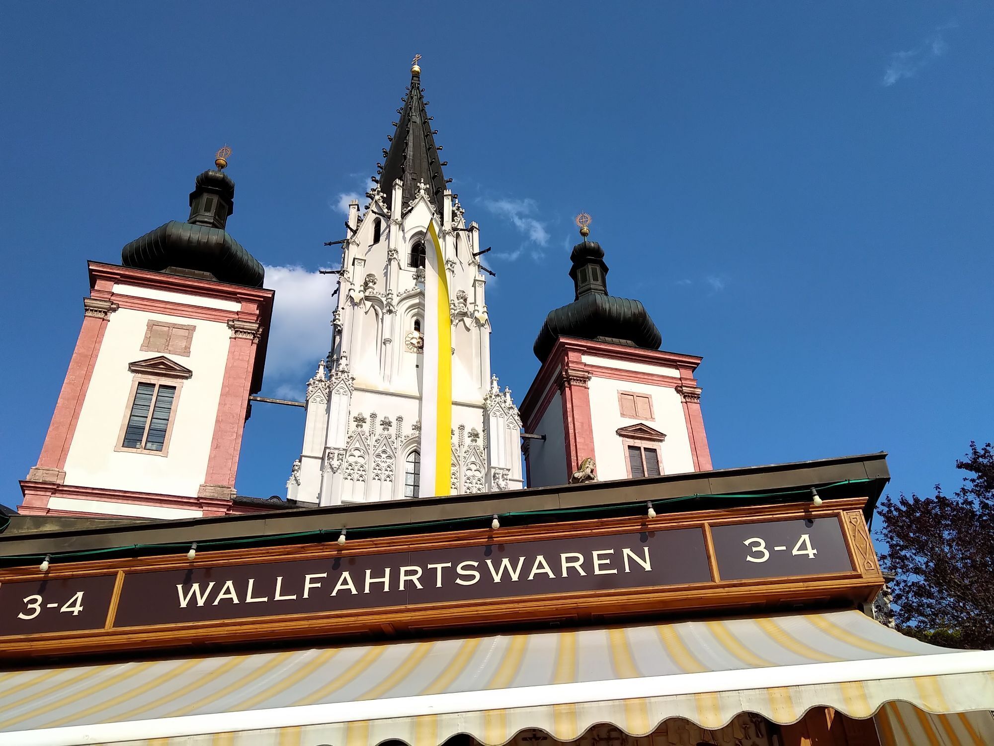
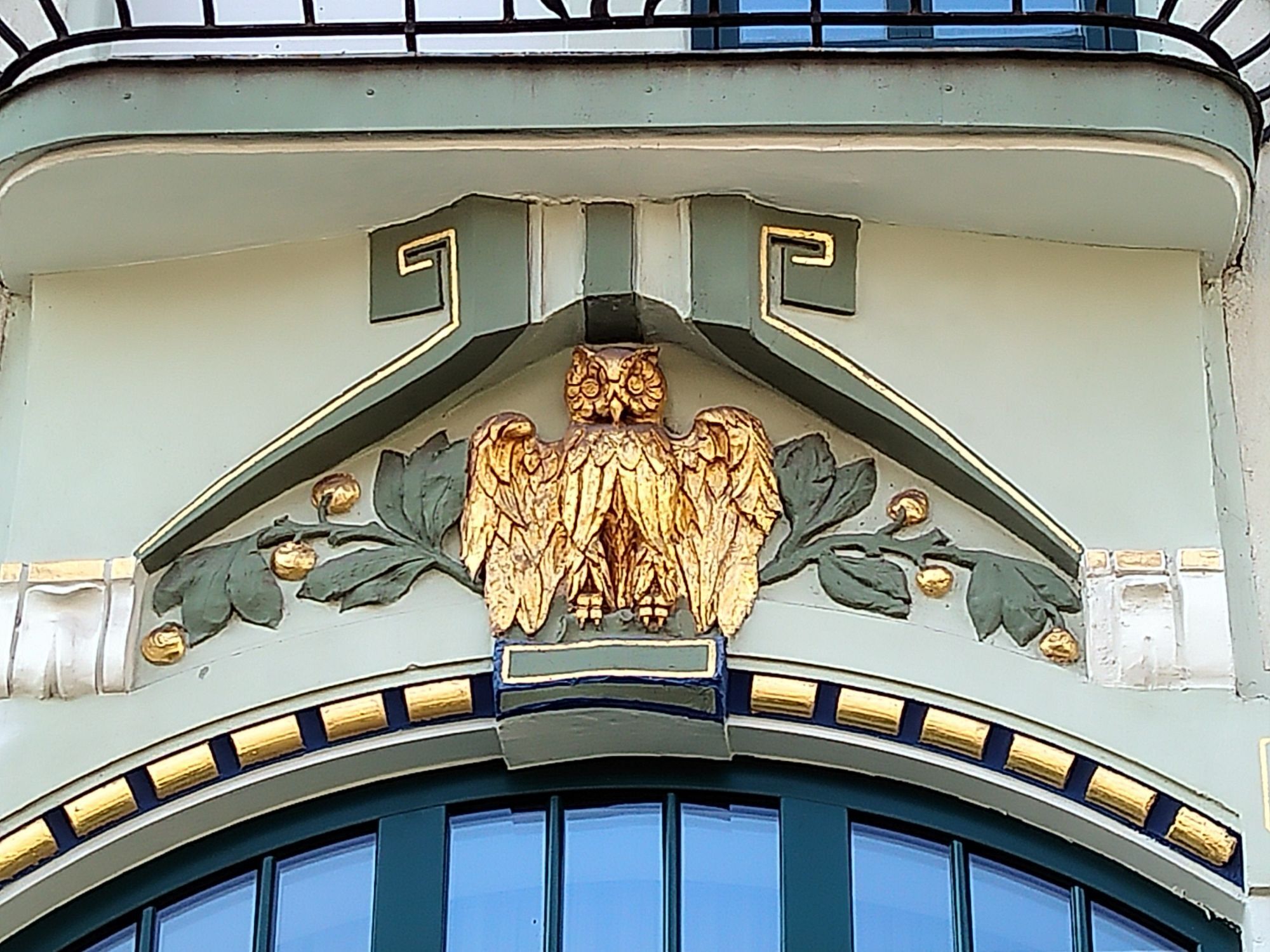
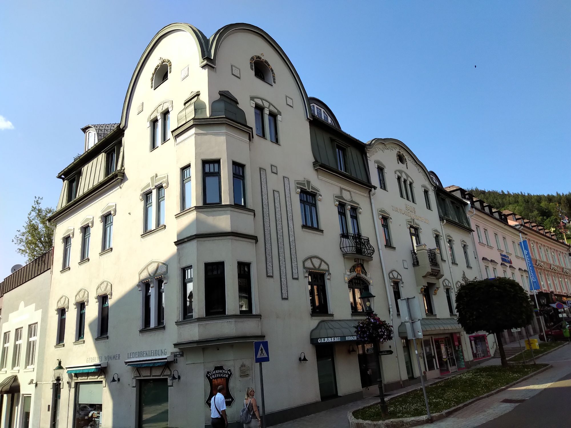
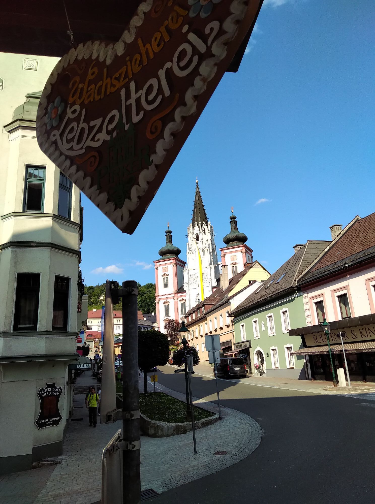
Mariazell is only really suitable for a stop because of the basilica - also to replenish supplies! Take time to consciously perceive the nature!
Webcams del recorrido
-
Mariazeller Bürgeralpe - Berggasthof
-
Zuckerwiese
-
Gemeindealpe Mittelstation
-
Annaberg
-
Eibenkogl Bergstation
-
Lunz am See - Maiszinken
-
Puchenstuben
-
Sternwarte
-
Mariazell
-
Flugplatz St. Sebastian
-
Hennesteck Bergstation
-
Hennesteck Bergstation
-
Hennesteck Bergstation
-
Hennesteck Bergstation
-
Hennesteck Bergstation
-
JUFA Sigmundsberg
-
Puchenstuben
-
Eibenkogl Bergstation
-
Eibenkogl Bergstation
-
Eibenkogl Bergstation
-
Rundfunkstation Sonntagberg
-
Bürgeralpe - Kristallsee
-
Almhaus Hochbärneck
-
Annaberger Haus am Tirolerkogel
-
Mariazeller Bürgeralpe - Berggasthof
-
Mariazell
-
Mariazell
-
Scheibbs
-
Feldbauer Mariazell
-
Terzerhaus
-
Mittelstation
-
Gemeindealpe Mittelstation
-
Gemeindealpe Mittelstation
-
Gemeindealpe Mittelstation
-
Gemeindealpe Mittelstation
-
Gemeindealpe Mittelstation
-
Gemeindealpe Mittelstation
-
Gemeindealpe Mittelstation
-
Mitterbach
-
Mariazell
Rutas populares en los alrededores
-
4,3
Das 3 Seen-Erlebnis (Lunzer See - Mittersee - Obersee)
medioSenderismo 9,33 km -
4,3
Rund um den smaragdgrünen Lunzer See
luzSenderismo 4,80 km -
5,0
Von Lackenhof auf den Ötscher
luzSenderismo 5,29 km -
4,8
Cima panorámica Maiszinken - experiencia alpina incluida
medioSenderismo 12,6 km -
4,9
Lassingfall->Ötscherhias->Erlaufklause
medioSenderismo 8,72 km -
4,9
Lackenhof ÖTSCHER Rauer Kamm 19.10.2014
pesadoSenderismo 14,1 km -
4,8
Naturpark Ötscher-Tormäuer Wienerbruck
luzSenderismo 6,06 km -
4,7
Trefflingfall über Hochbärneckhütte
medioSenderismo 12,2 km -
4,6
Lechner Graben - Ybbstaler Hütte
medioSenderismo 14,2 km -
4,5
Ötschergräben Runde über Wienerbruck, Josefsberg und Erlaufsee
luzSenderismo 16,8 km
Senderismo y rastreo


No se pierda las ofertas y la inspiración para sus próximas vacaciones
Su dirección de correo electrónico se ha añadido a la lista de correo.