


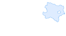

Losenstein route
Fotos de nuestros usuarios
-

 © MártiCreado el 27.09.2025
 -
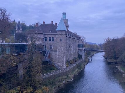
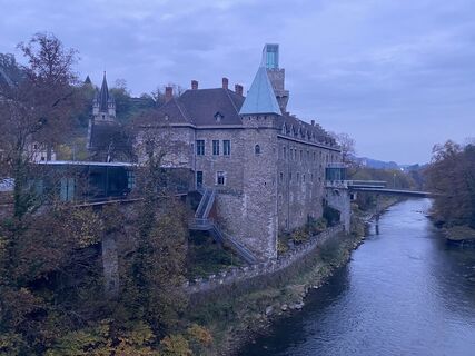
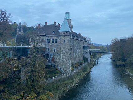
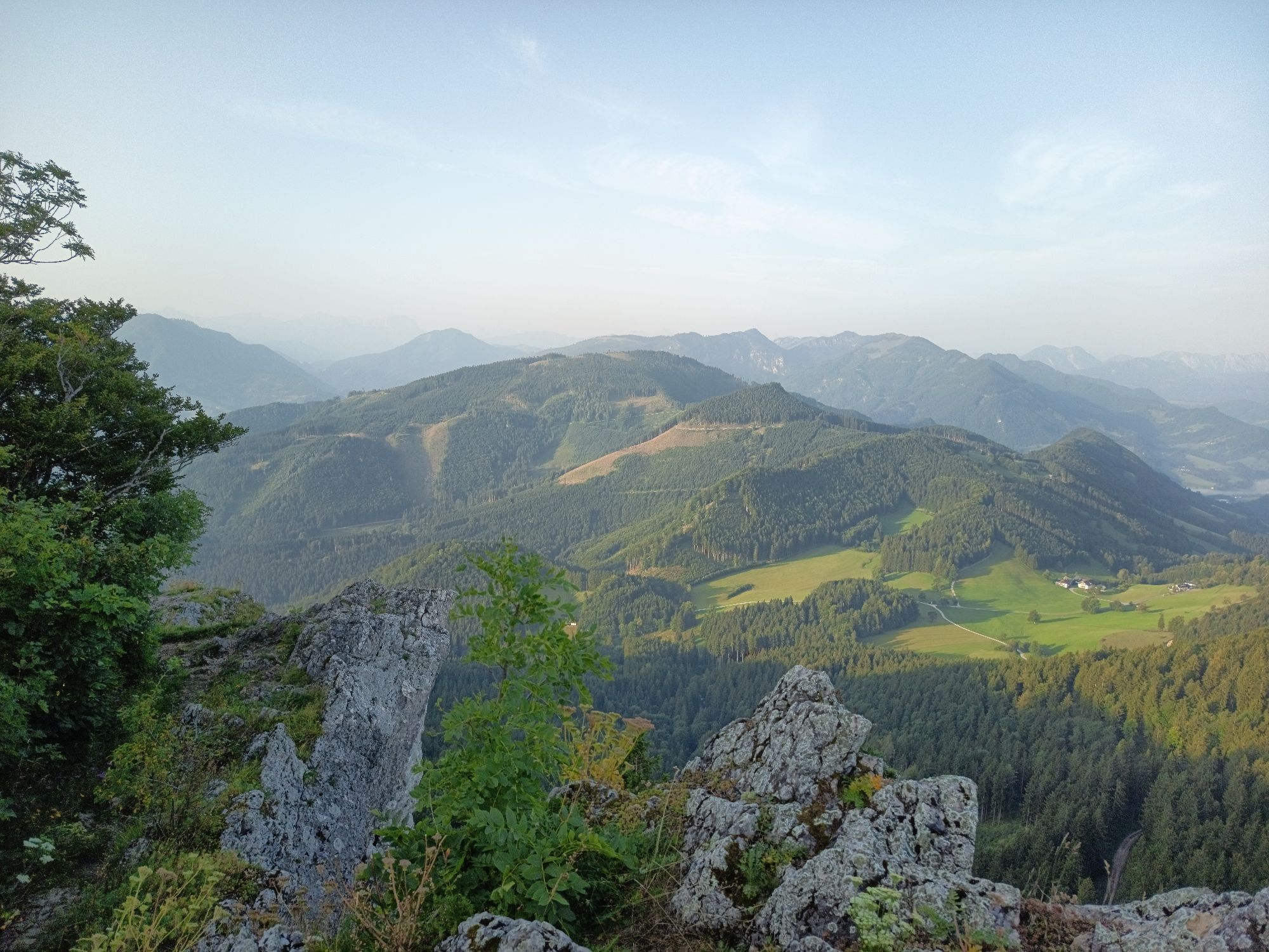
 © Christian2012655Creado el 01.11.2022
 -
 © Christian2012655Creado el 01.11.2022
 -
 © Christian2012655Creado el 01.11.2022
 -
 © Christian2012655Creado el 01.11.2022
 -
 © Christian2012655Creado el 01.11.2022
 -
 © Christian2012655Creado el 01.11.2022
 -
 © Christian2012655Creado el 01.11.2022
 -
 © Christian2012655Creado el 01.11.2022
 -
 © Christian2012655Creado el 01.11.2022
 -
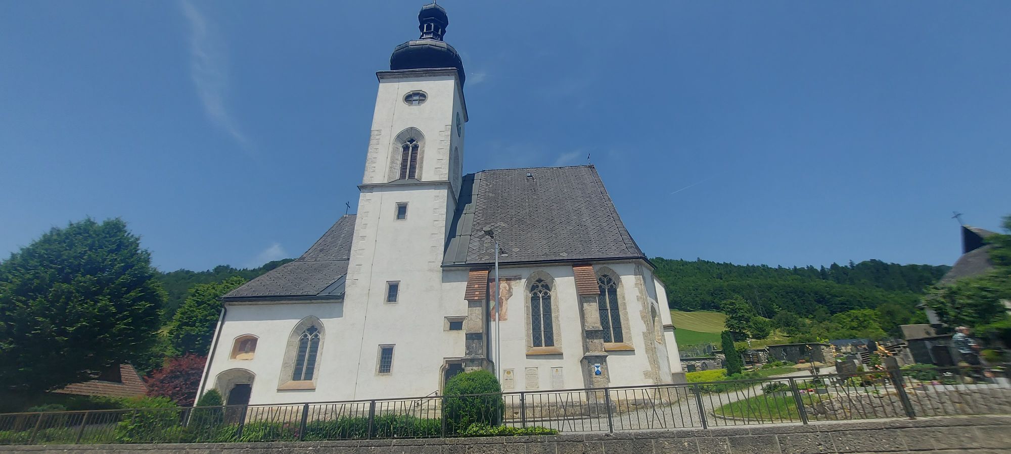
 © StefanCreado el 08.03.2026
 -

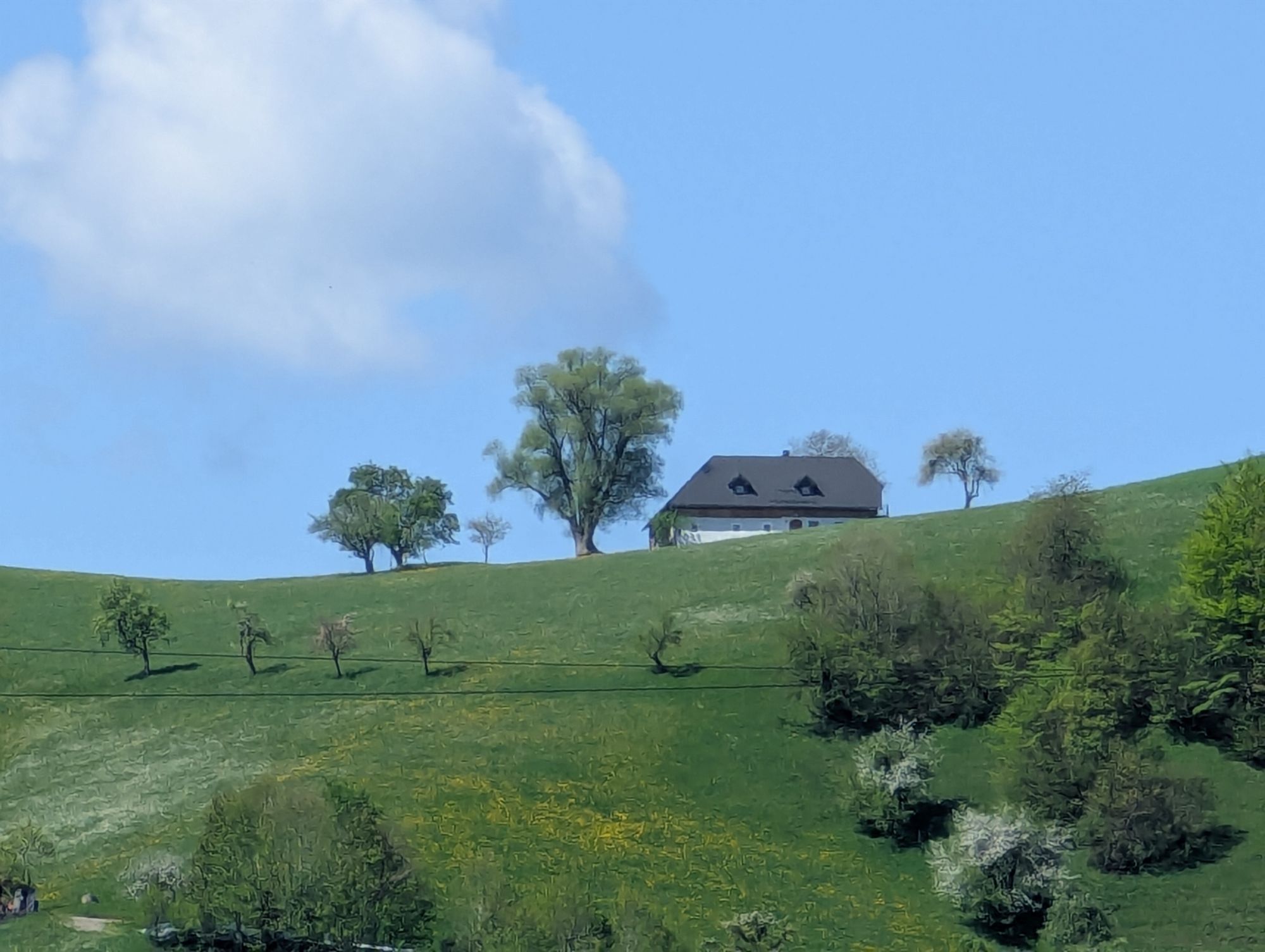
 © H&MCreado el 09.02.2026
 -
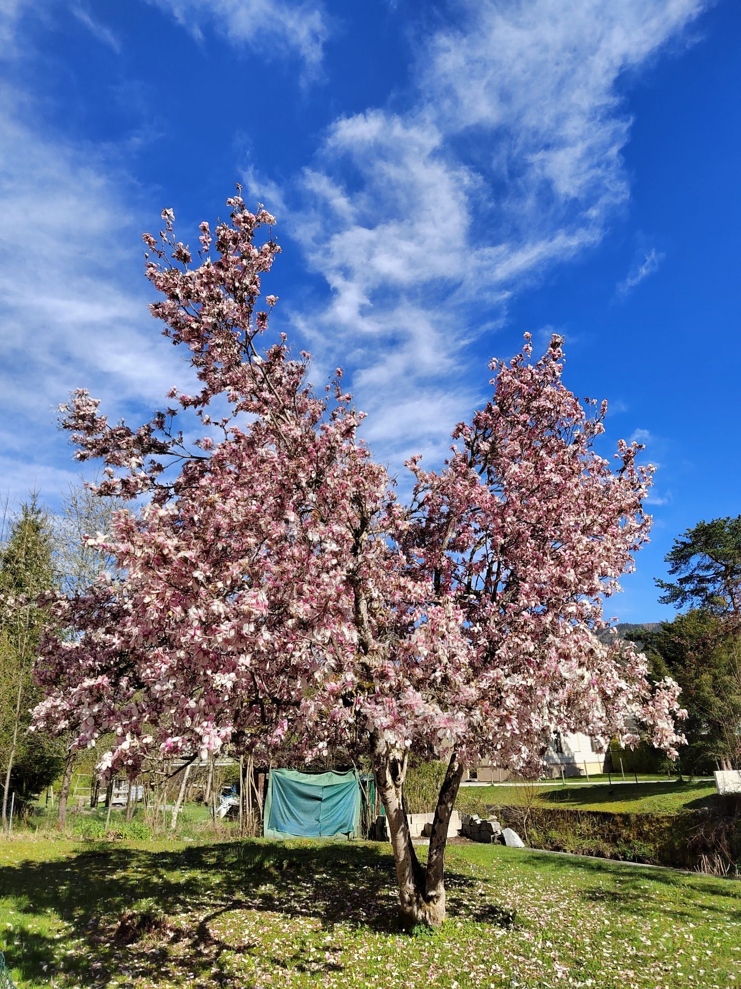
 © Thomas SteinböckCreado el 14.08.2025
 -

 © Klaus Gruber 3Creado el 15.06.2025
 -
 © H&MCreado el 29.04.2025
 -
 © ReginaStCreado el 29.03.2024
 -
 © ReginaStCreado el 29.03.2024


After the start, the route is initially slightly uphill in the Redtenbachgraben. After approx. 8 km, the 2 km long ascent to Kreuzgruberhöhe begins. The descent is fast and without difficulty, after which...
After the start, the route is initially slightly uphill in the Redtenbachgraben. After approx. 8 km, the 2 km long ascent to Kreuzgruberhöhe begins. The descent is fast and without difficulty, after which the route rolls quickly out of the valley through the Neustiftgraben. Directly at the end of the valley, turn right towards Laussa. The route climbs through the Laussagraben with a few changes of pace until the actual ascent to the "Schöffthaler Höhe" begins.
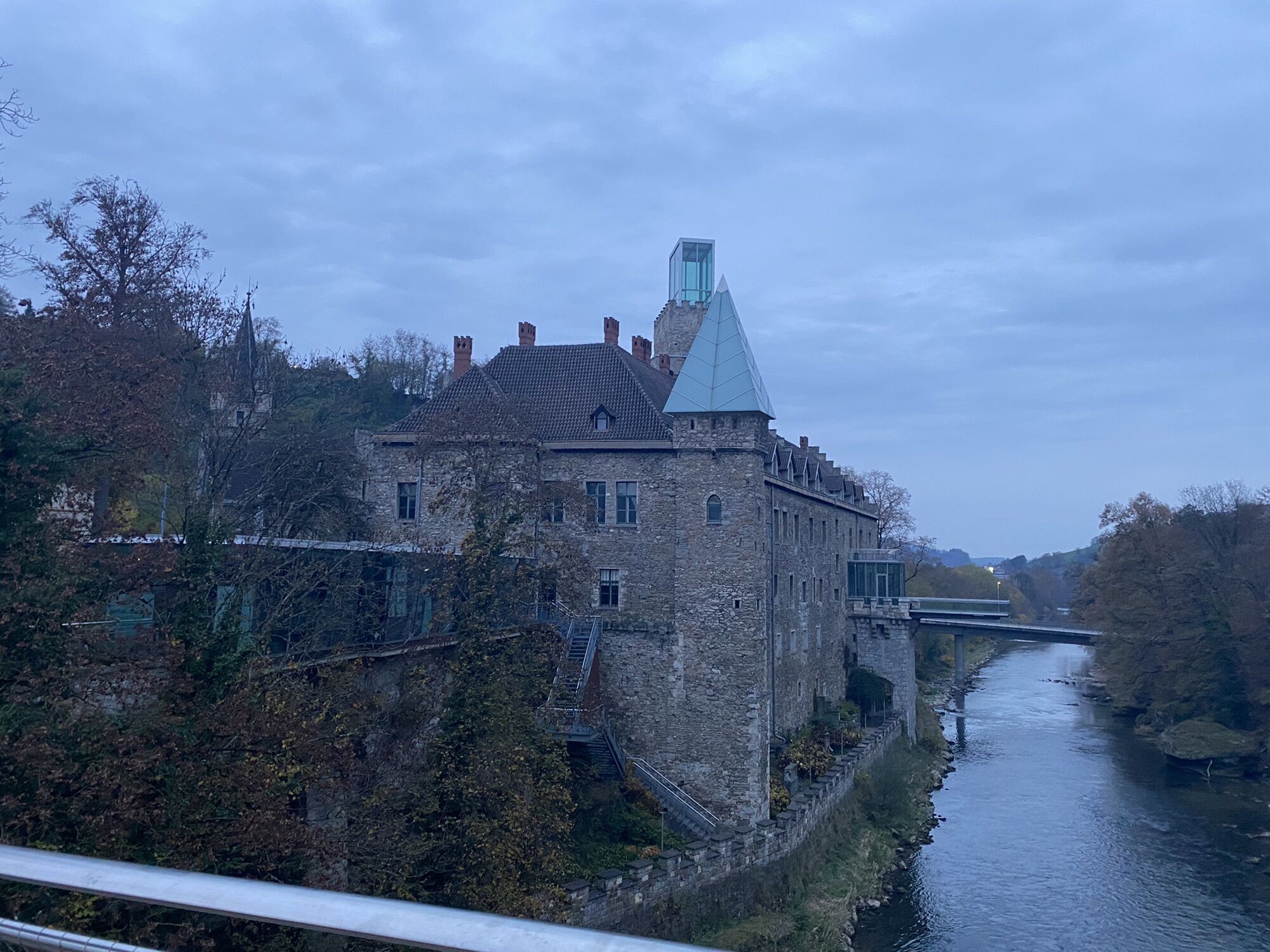
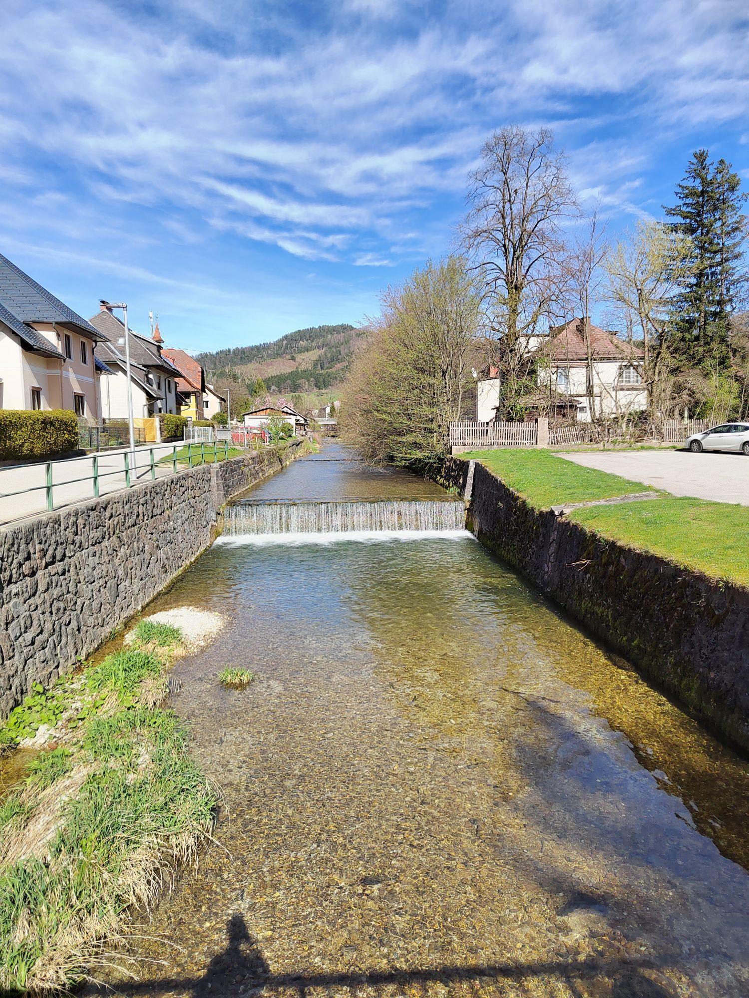
After just under 2 kilometers, just before the chapel visible from further down, turn sharp left - here you have also reached the highest point. This is followed by a rapid descent down into the Enns Valley, directly to Losenstein.
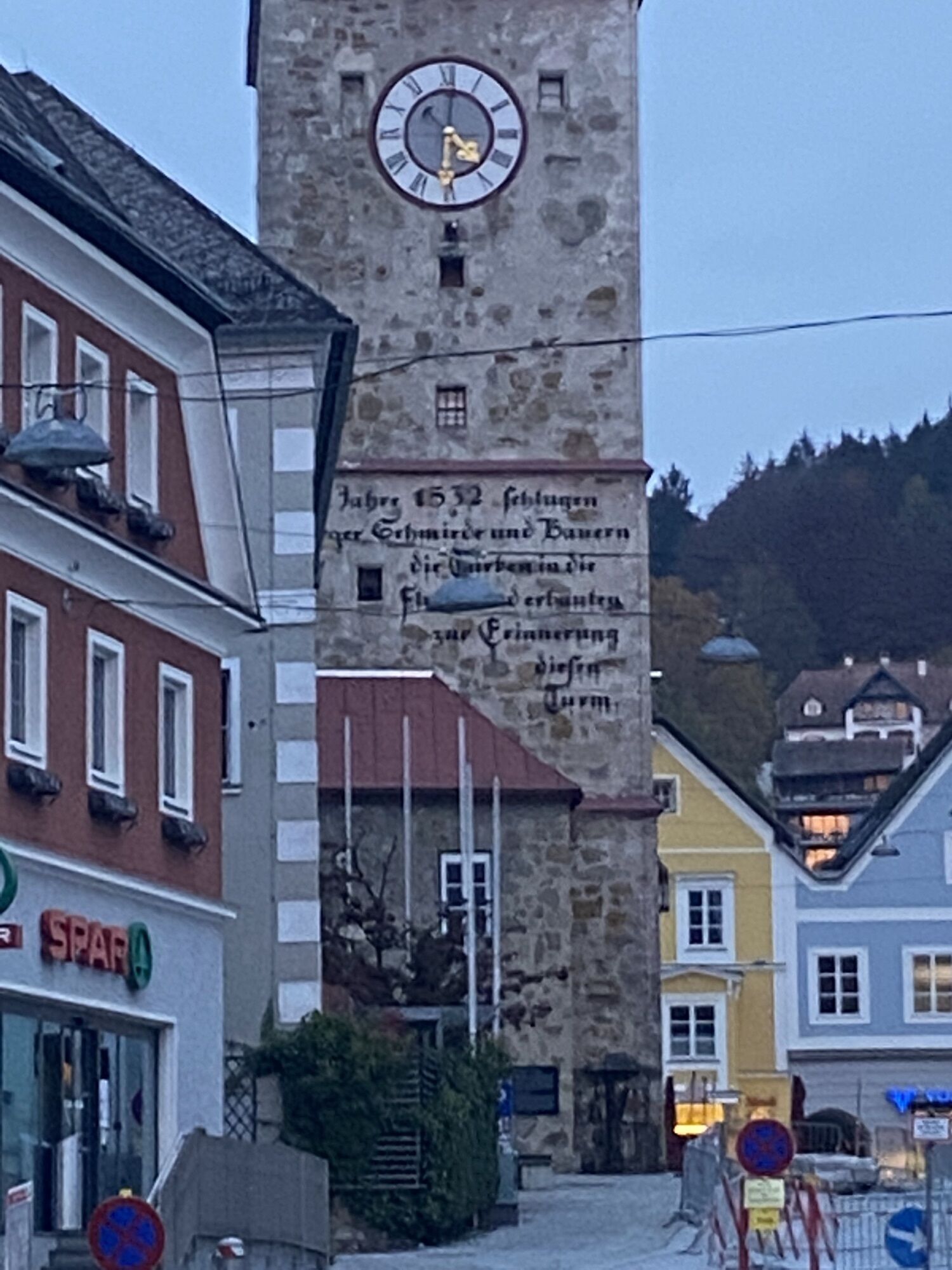
The route continues along the Ennstalbundesstraße (main road) and always along the Enns via Reichraming to Großraming, up into the small but pretty town center - and on to Weyer. From the start/finish location of the legendary Powerman Duathlon, the route returns to the starting point in Waidhofen via Gaflenz and Oberland.

Waidhofen an der Ybbs/Schlosshotel - exit via the Unterzeller bridge - Wiener Straße - roundabout Weyrer Straße - Weyrer Straße - Redtenbachstraße L93 - Kreuzgruber Höhe - Neustiftgraben - Großraming - sharp right towards Laussa onto the L1342 - Schöffthaler Höhe - sharp left (junction "Sauzahn") - follow the road downhill and turn left at the first farm through Aichmühlgraben to Losenstein - left onto B115 - Reichraming - Großraming town center - B115 - right to Anger - Weyer - left onto B121 - Gaflenz - Oberland - Waidhofen an der Ybbs
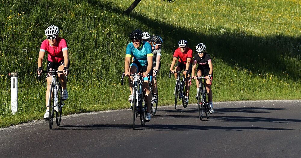
Road bike (translation of at least 34/25)
Caution especially on the winding descent to Losenstein and the town exit in Großraming!
Coming from the A1 motorway: exit Amstetten West, B121 to Waidhofen an der Ybbs
Arrival by ÖBB (Rudolfsbahn) from/via Amstetten.
You can take your bike on most regional and long-distance trains. In Austria, you need a special bike ticket for this; you can also purchase weekly or monthly tickets for your bike. For international routes, ÖBB offers the Biking International Ticket.
There are several Park & Ride options: http://waidhofen.at/parkplaetze
Tourism Association Ybbstaler Alps
Schlossweg 2
3340 Waidhofen/Ybbs
www.ybbstaler-alpen.at/rennrad
+43-7442-93049
Extension with part of the "Saurüsselrunde" in the opposite direction from Weyer is possible and worthwhile (+15km). The last 20 km along the Ybbs!
Rutas populares en los alrededores
-
4,9
Cabaña Ennser - Almkogel (desde el aparcamiento Bamacher)
medioSenderismo 3,53 km -
4,8
Steinerner Jäger (1185m) und Schieferstein (1206m) ab Parkplatz Hochhabichler
medioSenderismo 4,46 km -
4,7
GROSSRAMING Bamacher, Burgspitz, Almkogel, Ennshütte 20240730
medioSenderismo 10 km -
4,3
Freithofberg
medioSenderismo 9,15 km -
4,7
Steinerner Jäger (1185m) und Schieferstein (1206m) ab Parkplatz Hack
pesadoSenderismo 8,58 km -
4,4
Kleine Gipfelrunde Glasenberg
luzSenderismo 4,99 km -
3,8
Lindaumauer (1103 m)
Senderismo 3,40 km -
4,5
Lindaumauer, Maria Neustift
medioSenderismo 5,53 km -
4,6
Gamsstein (1275m) und Gschwendtalm ab Parkplatz Brunnbach
medioSenderismo 7,37 km -
4,4
Etapa 2 de 4 del Sebaldusweg | Laussa - Maria Neustift
medioCamino de peregrinación 20,9 km
Senderismo y rastreo


No se pierda las ofertas y la inspiración para sus próximas vacaciones
Su dirección de correo electrónico se ha añadido a la lista de correo.